







Aubergweg

Starting from the guesthouse Ambrozy, the country road leads steeply uphill towards Kirchberg am Walde to the Hotel Leonardo. There is a parking lot in front of the hotel. From there, follow the marking...
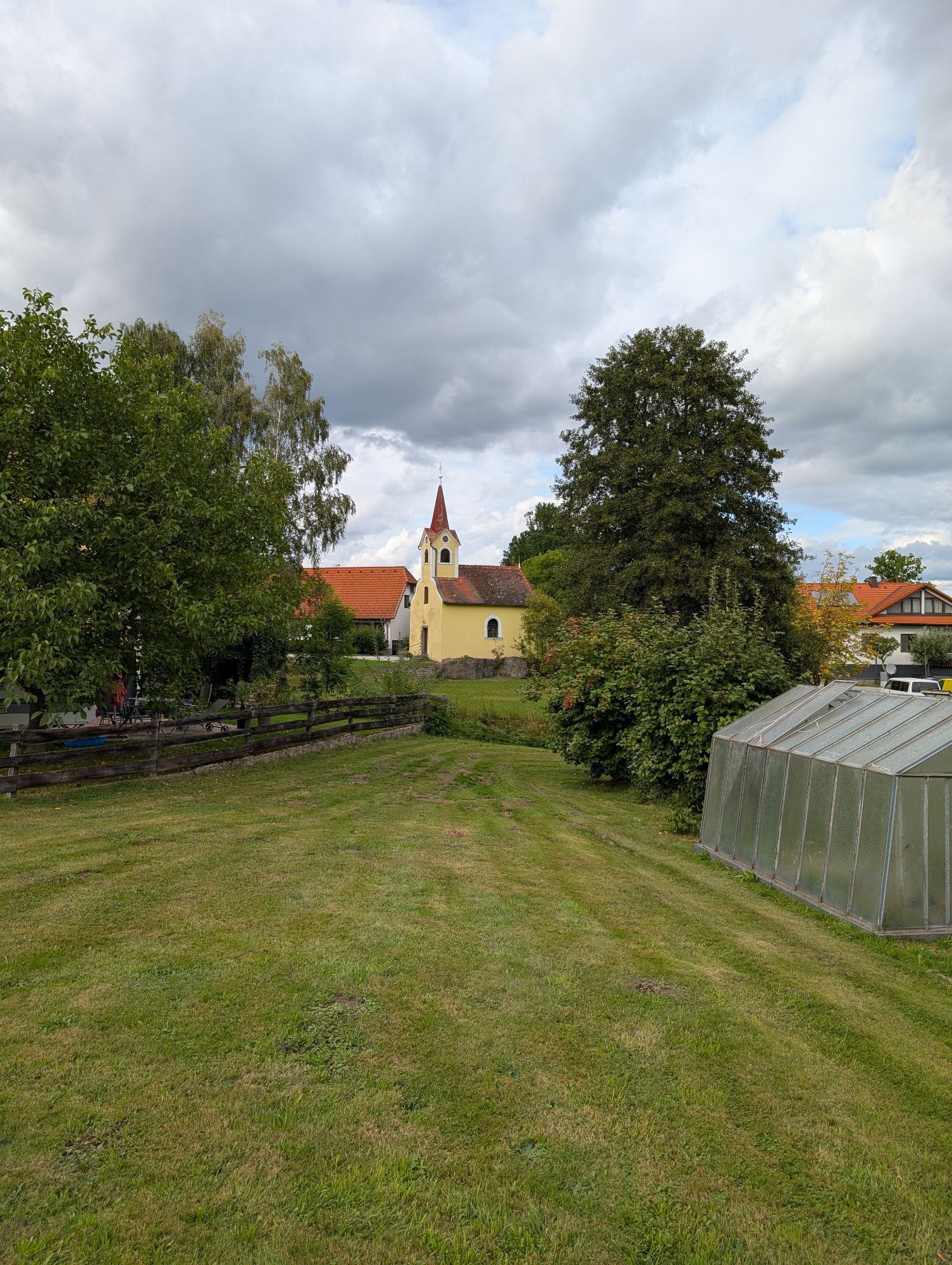
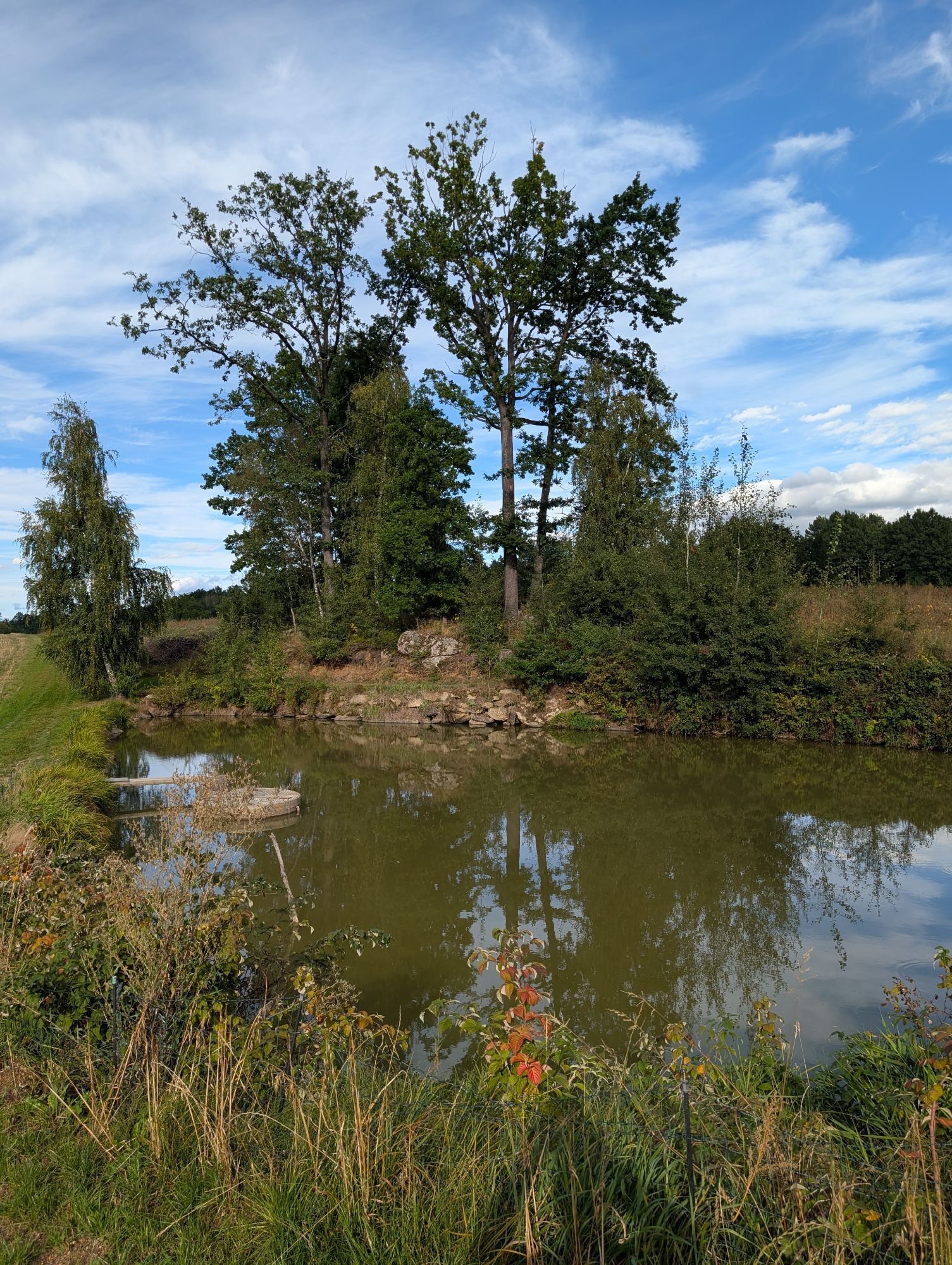
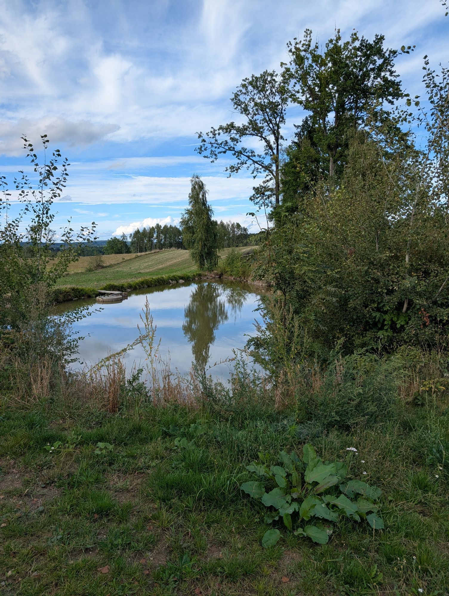
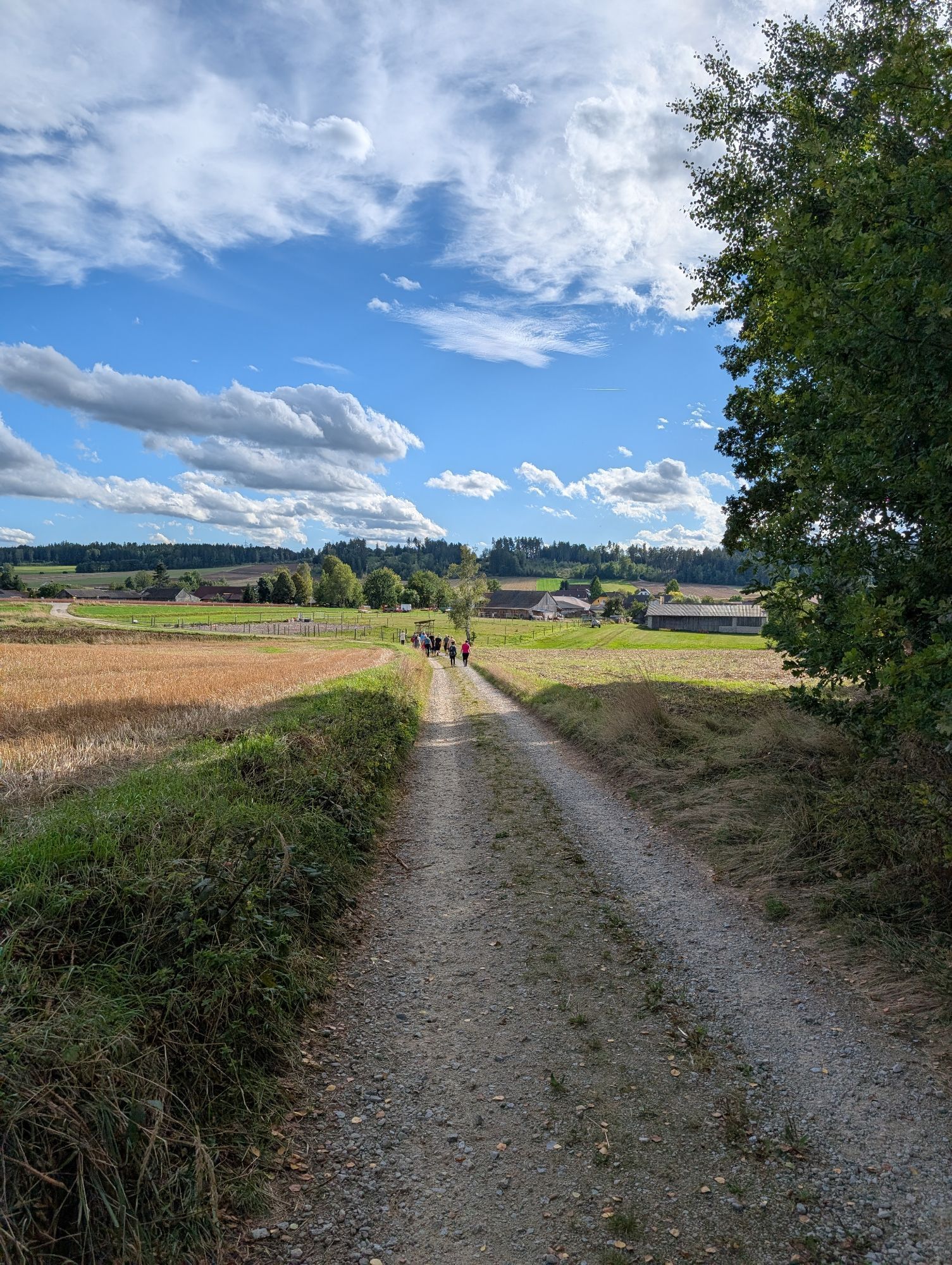
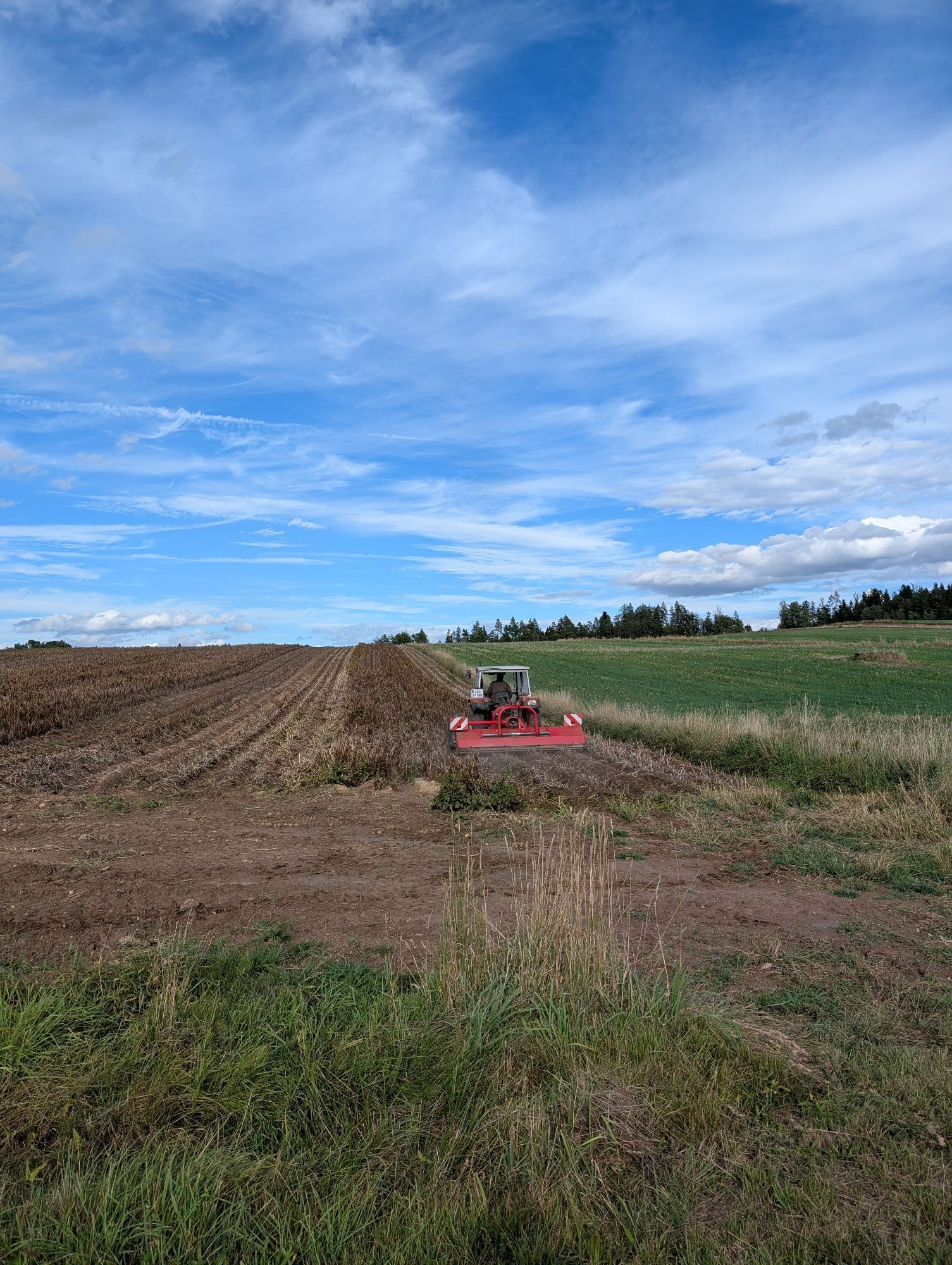
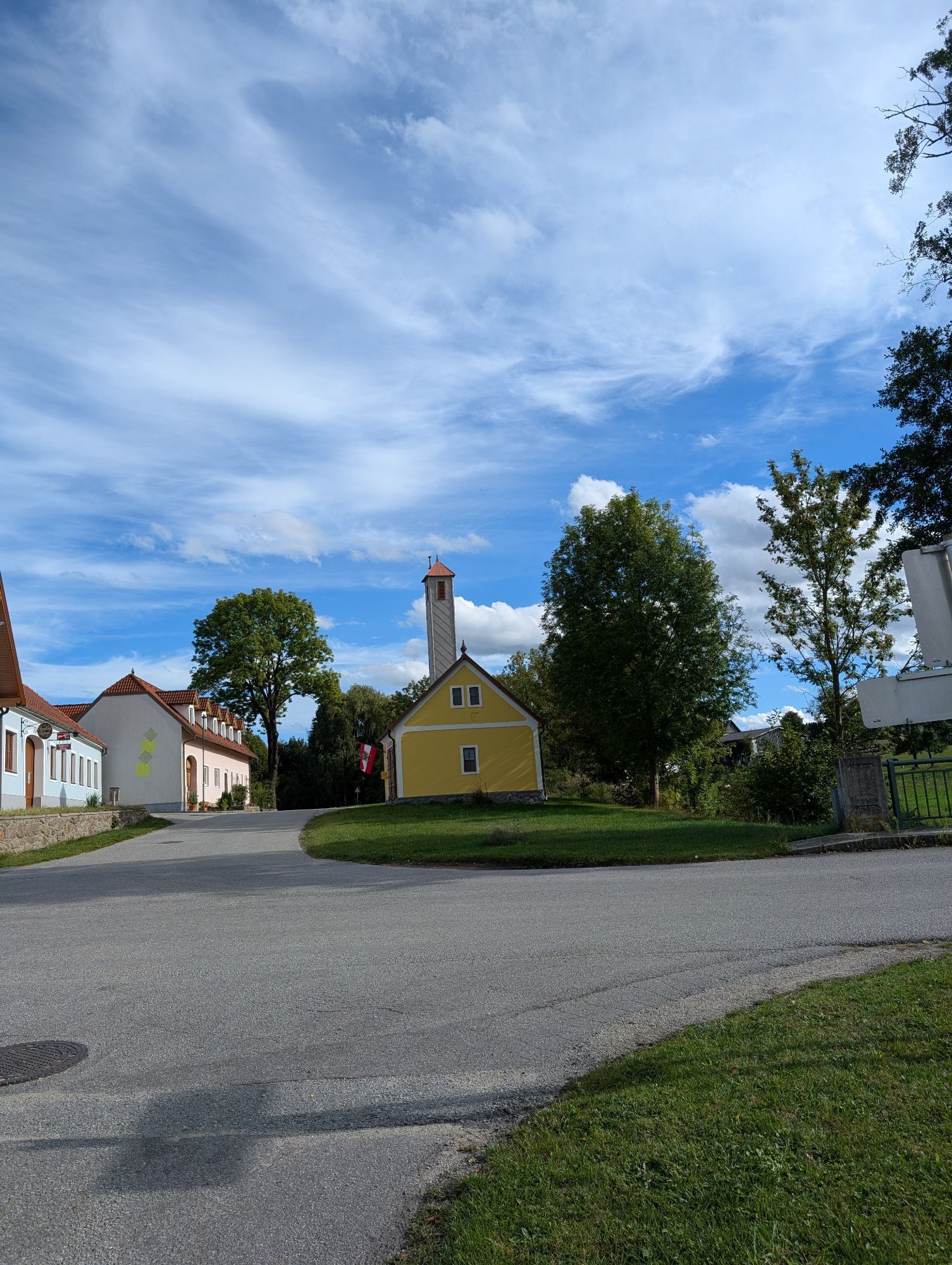
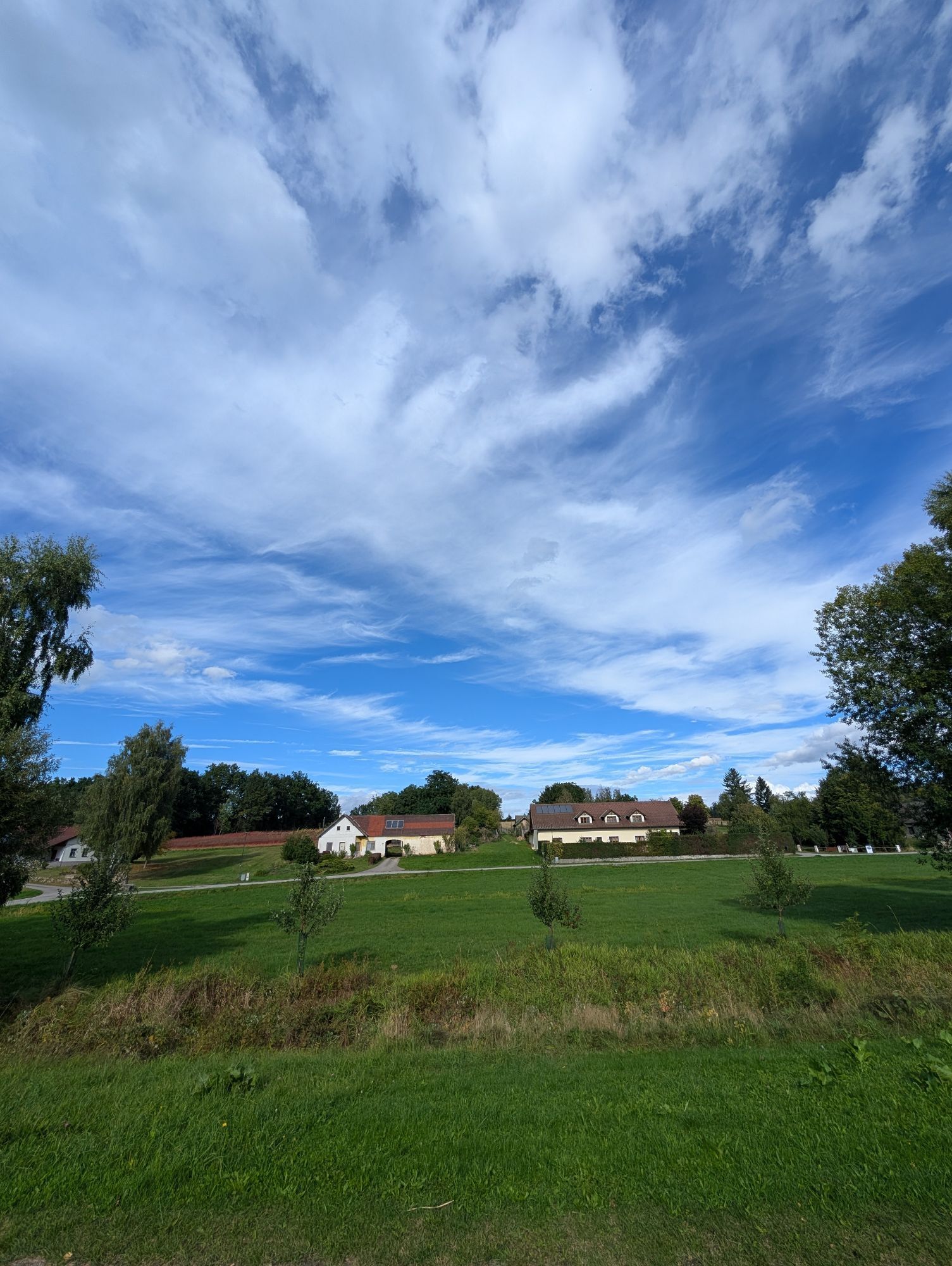
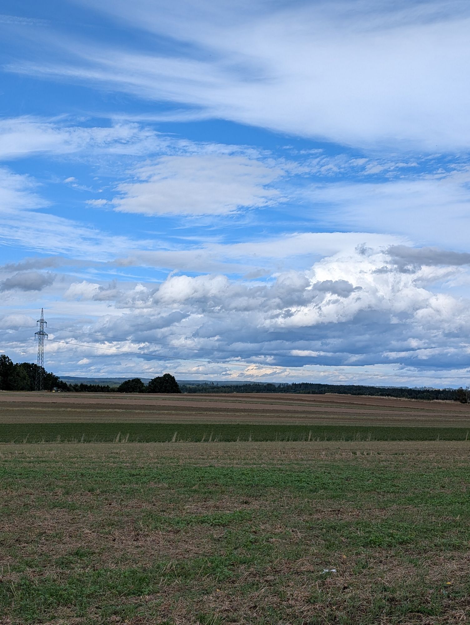
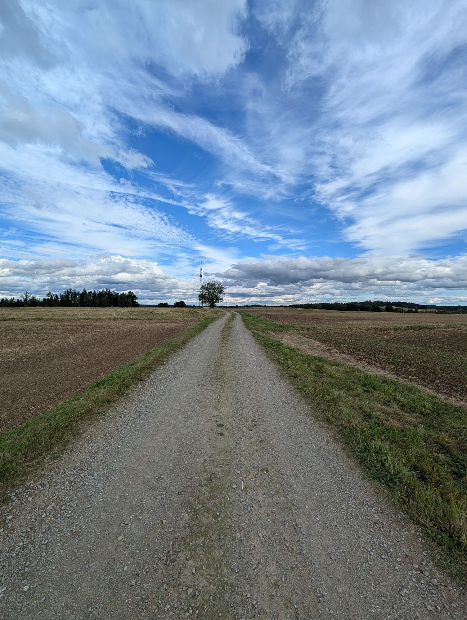
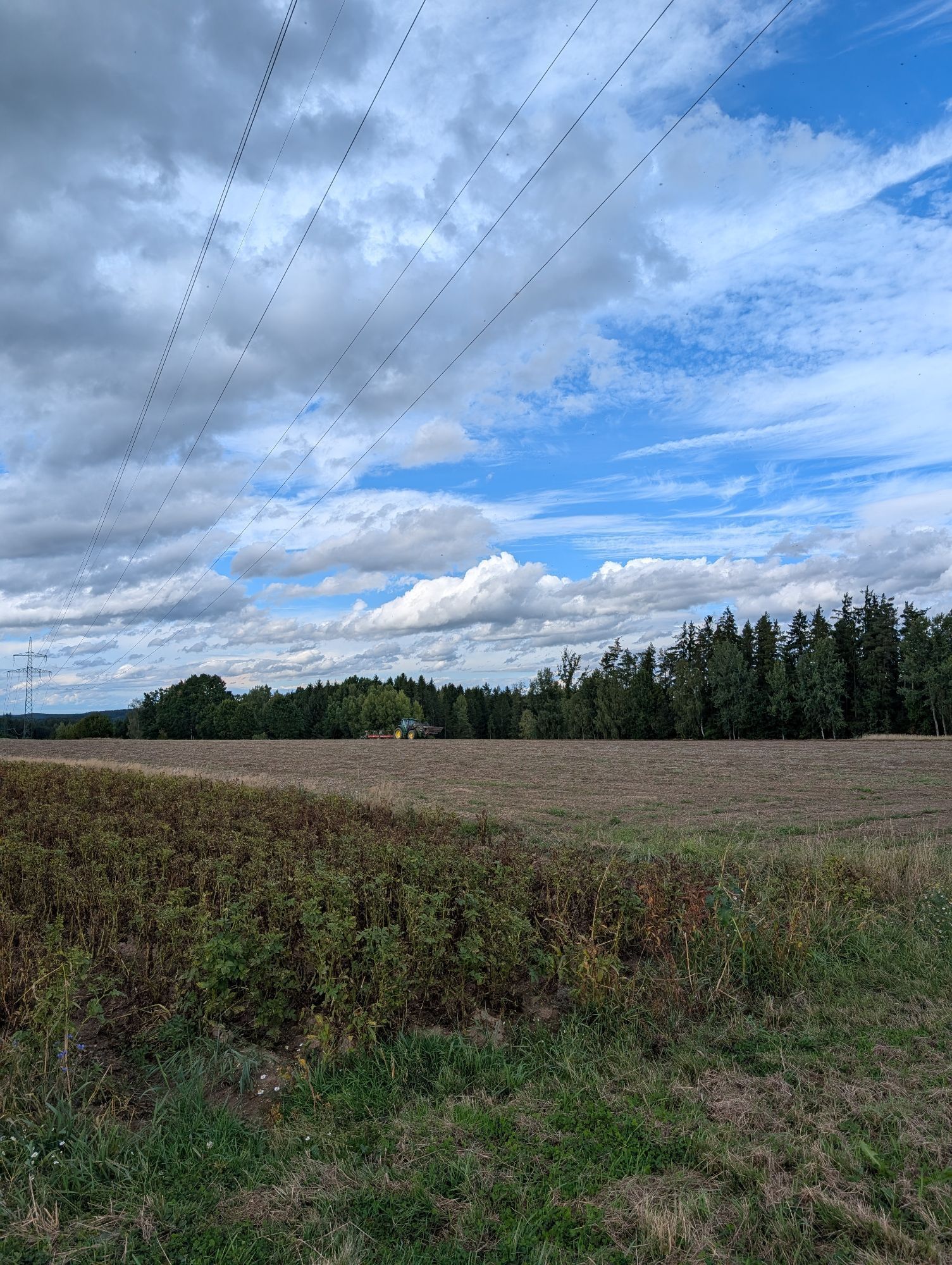
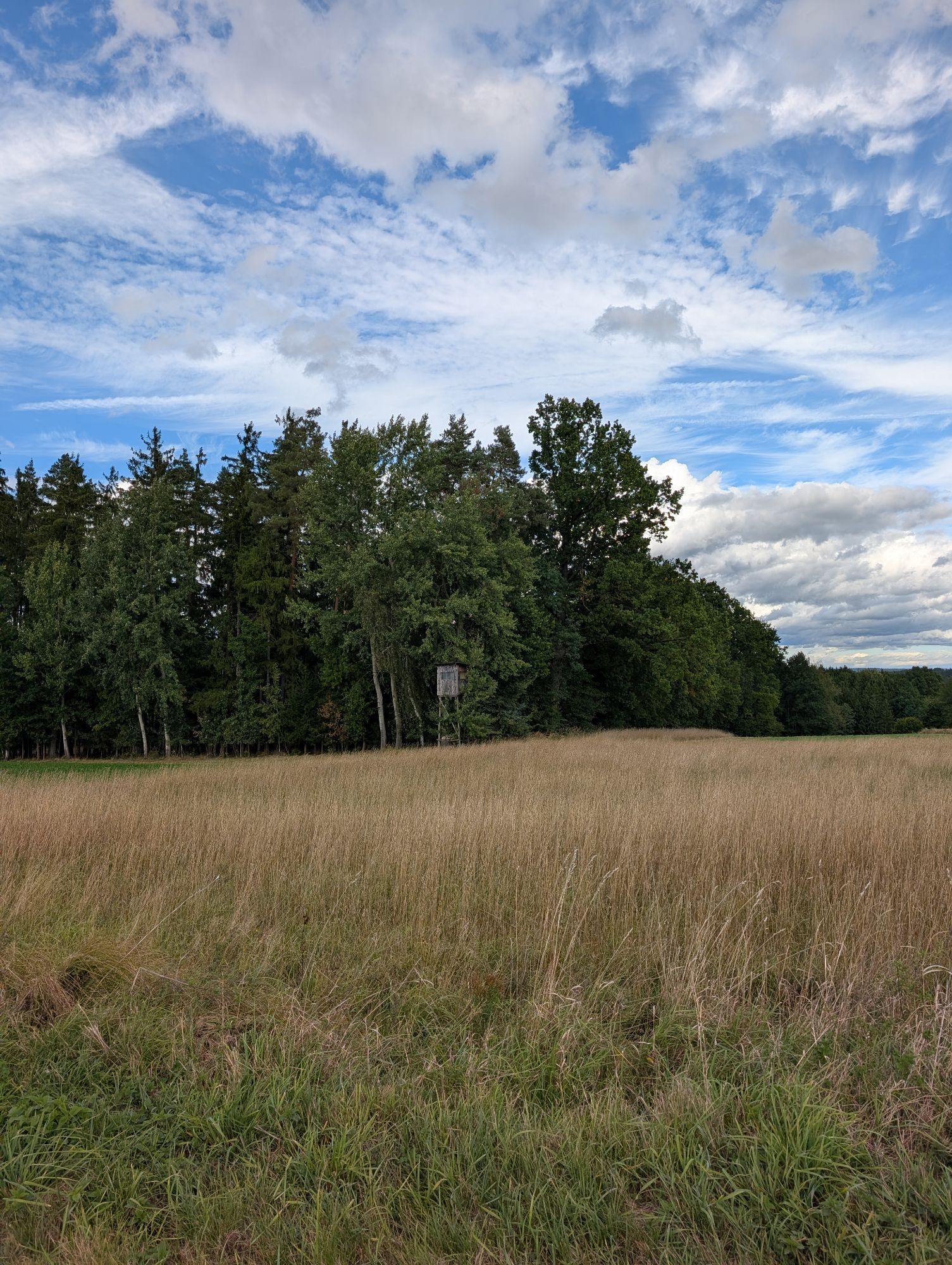
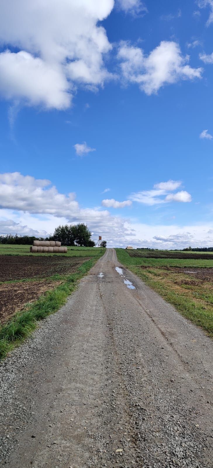
<p>Starting from the guesthouse Ambrozy, the country road leads steeply uphill towards Kirchberg am Walde to the Hotel Leonardo. There is a parking lot in front of the hotel. From there, follow the marking to the right through the forest to the next intersection, turn right. At the next junction, keep left. You pass a small orchard and then a small pond until you reach the Ullrichs – Groß-Höbarten field junction. Turn left there and hike to Groß-Höbarten. At the junction to the Ullrichs-Waldenstein country road, go right to Groß-Höbarten and just before the brook bridge, turn right again to the junction of the connecting path Groß-Höbarten – Nondorf. Following the marking further, you hike through a beautiful agricultural landscape towards Albrechts to the “Wirth Cross” and go right over the Auberg back to Nondorf. At the beginning of the village, walk along Albrechtser Street and at the second turnoff over the Albrechtsbach along the village street. Pass the guesthouse Pöhn and then go left to Angerweg. Follow Angerweg, pass the fire station, and after a sharp left turn, return to the starting point.</p>

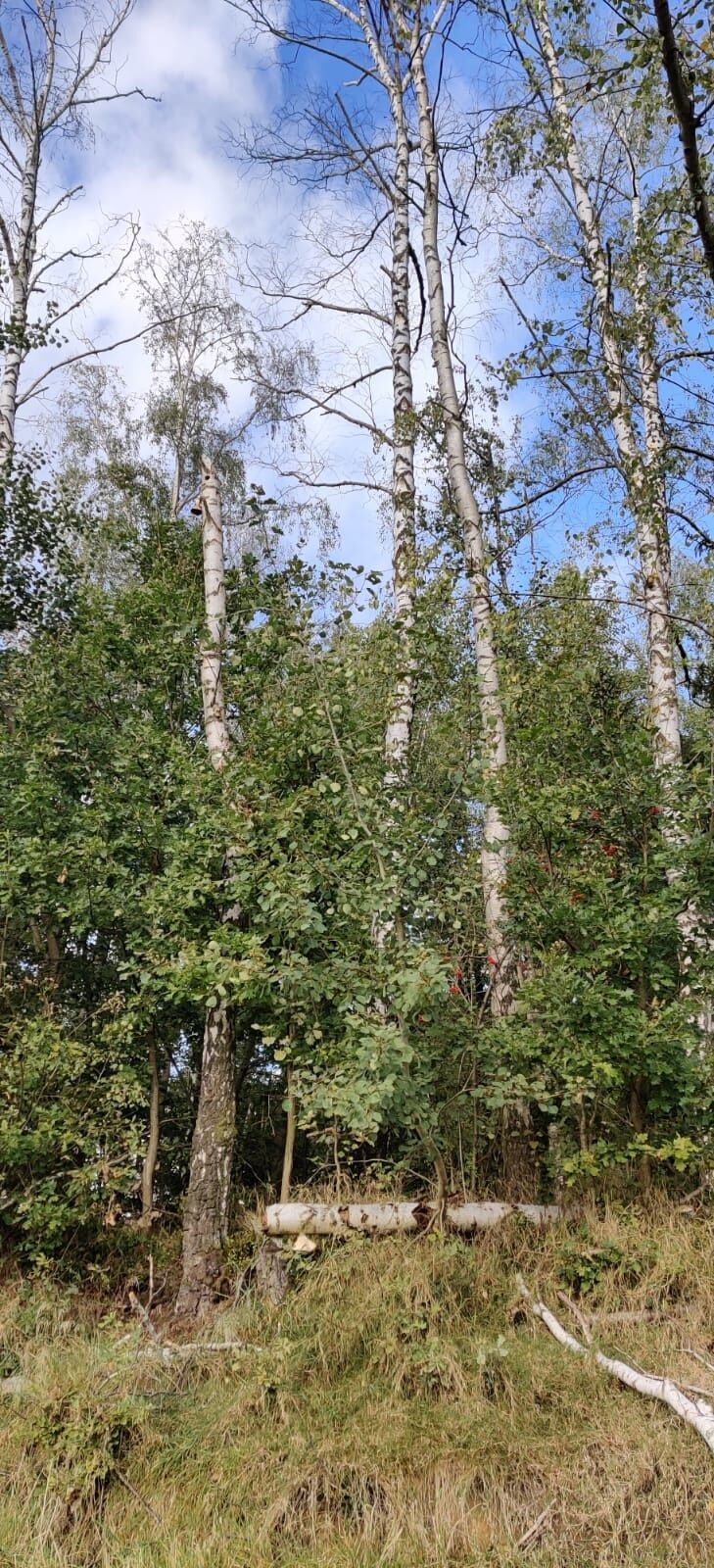
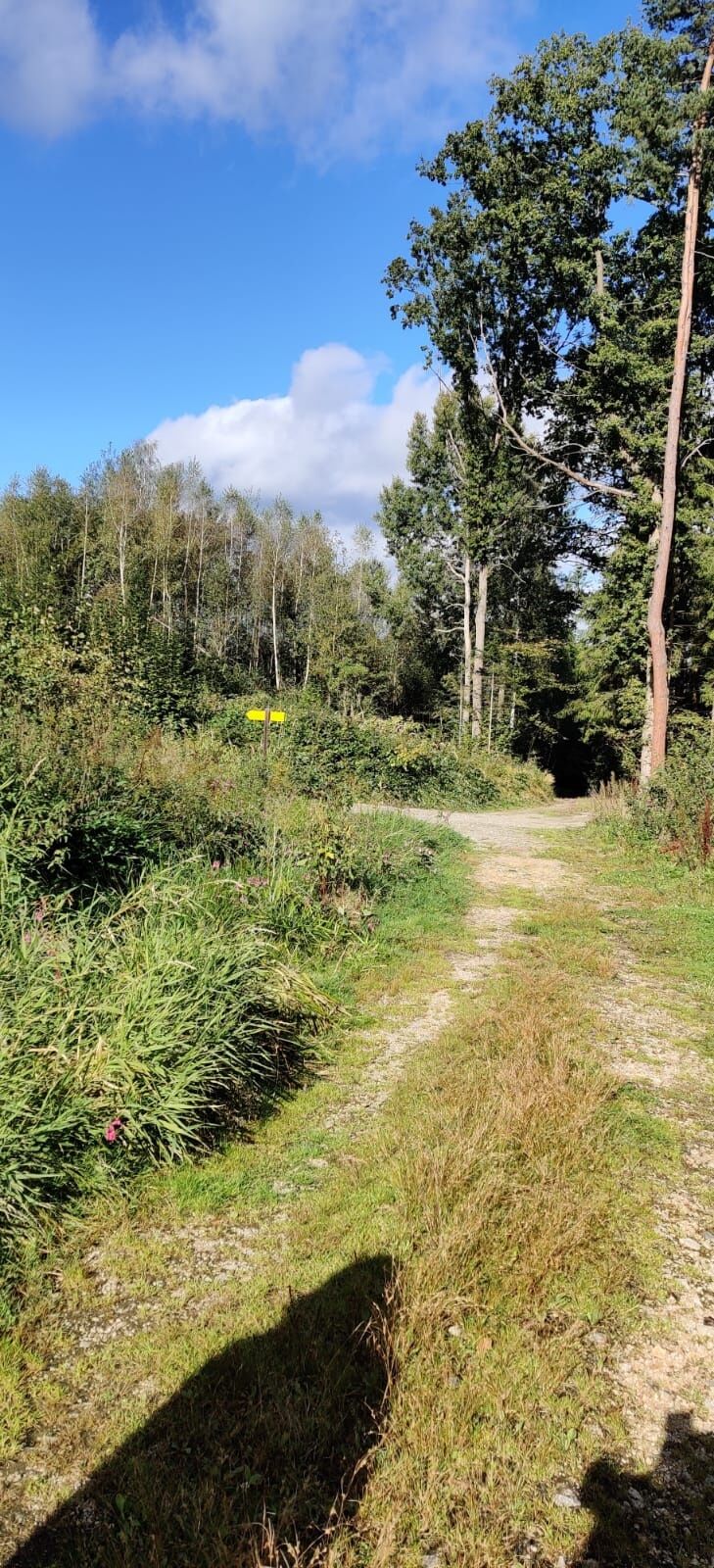
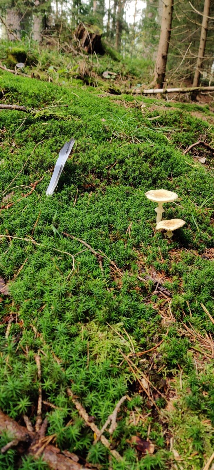
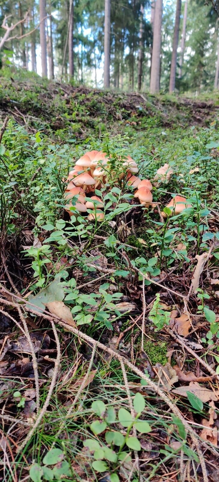
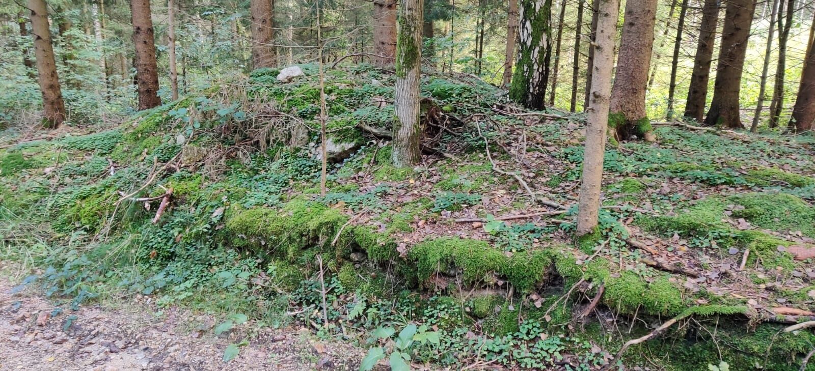
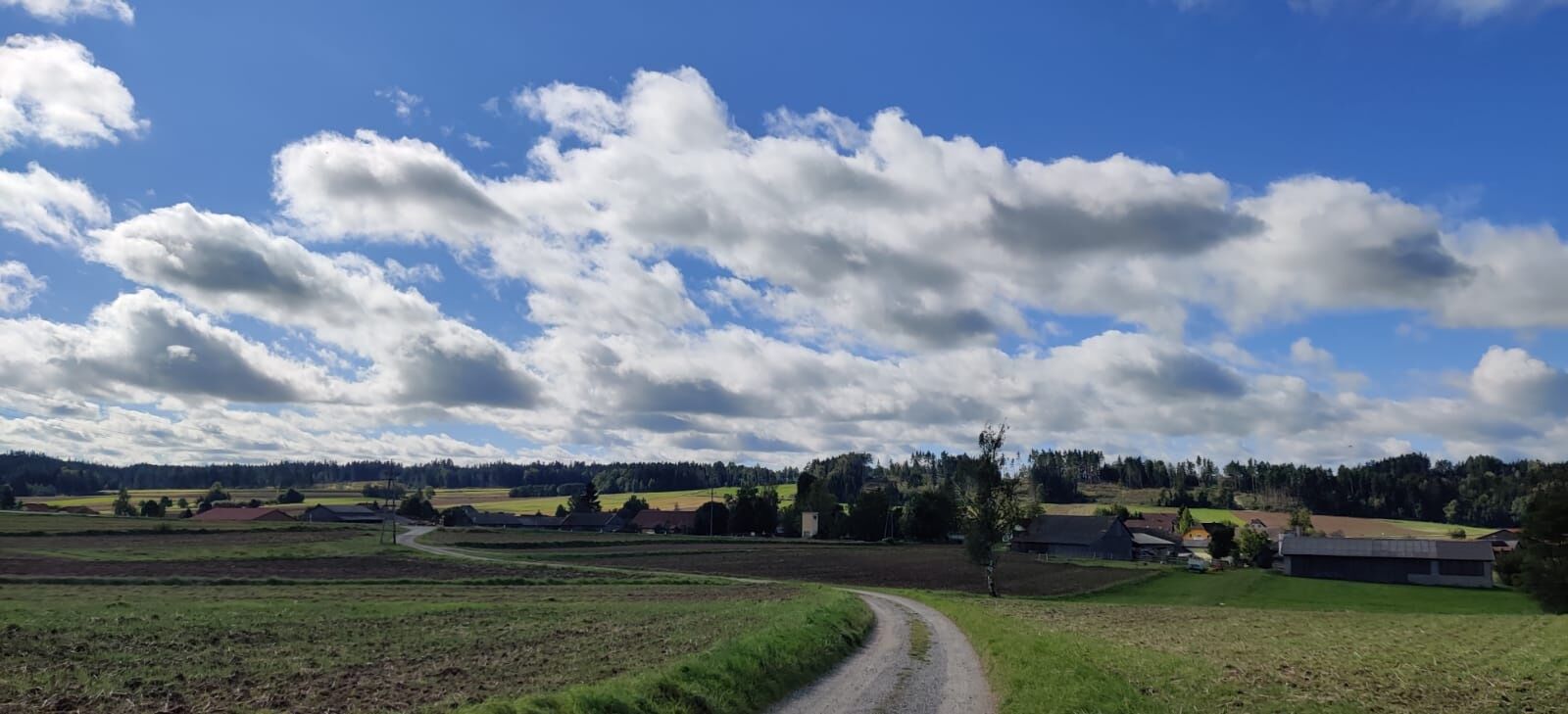

<p>Starting from the guesthouse Ambrozy, the country road leads steeply uphill towards Kirchberg am Walde to the Hotel Leonardo. There is a parking lot in front of the hotel. From there, follow the marking to the right through the forest to the next intersection, turn right. At the next junction, keep left. You pass a small orchard and then a small pond until you reach the Ullrichs – Groß-Höbarten field junction. Turn left there and hike to Groß-Höbarten. At the junction to the Ullrichs-Waldenstein country road, go right to Groß-Höbarten and just before the brook bridge, turn right again to the junction of the connecting path Groß-Höbarten – Nondorf. Following the marking further, you hike through a beautiful agricultural landscape towards Albrechts to the “Wirth Cross” and go right over the Auberg back to Nondorf. At the beginning of the village, walk along Albrechtser Street and at the second turnoff over the Albrechtsbach along the village street. Pass the guesthouse Pöhn and then go left to Angerweg. Follow Angerweg, pass the fire station, and after a sharp left turn, return to the starting point.</p>
<p>Sturdy footwear, functional clothing, sun and rain protection, map material, possibly telescopic poles, first aid kit (blister plasters), sufficient provisions (snack, muesli bars, fruit, water).</p>
<p>Make sure that the route you choose matches your level of fitness. Check if the gastronomy businesses you want to visit along the way are open. Pack your charged mobile phone and map material in your backpack. For cross-border tours, always carry a passport or identity card.</p><p>Route characteristics: 80% asphalt, 20% field and hiking path</p>
<p>You can plan your exact route with the VOR route planner. www.vor.at</p>
Market municipality Hoheneich
3945 Hoheneich, Marktplatz 91
(T) +43 2852 52664
(E) gemeinde@hoheneich.gv.at
(I) www.hoheneich.at
Waldviertel Tourism
3910 Zwettl, Sparkassenplatz 1/2/2
(T) +43 2822 54109
(E) info@waldviertel.at
(I) www.waldviertel.at
Obľúbené výlety v okolí
-
4,2
Blockheiderunde
svetloTuristika 6 km -
4,9
Mythologieweg Blockheide
svetloTuristika 4,96 km -
4,2
Rundweg Gabrielental-Reinprechts-Brühl-Gabrielental, Nr. 31
strednáTuristika 11,4 km -
4,6
Gmünd: Blockheide mit Wackelsteinen
svetloTuristika 8,14 km -
4,6
Gemeinde Heidenreichstein - Winkelauer Berg - Seyfrieds
svetloTuristika 7,24 km -
4,0
Gmünd Blockheide
svetloTematická trasa 8,18 km -
4,0
Weltkugel-Wanderweg Nr. 31
strednáTuristika 19,5 km -
3,7
Xunde Runde
svetloTuristika 7,41 km -
Bernhardiweg in the Waldviertel
strednáPútnická trasa 124,5 km -
4,5
Schweigginger Ursprungsrunde
strednáCyklistika 44,7 km
Turistika a stopovanie


Nenechajte si ujsť ponuky a inšpiráciu na ďalšiu dovolenku
Vaša e-mailová adresa bol pridaný do poštového zoznamu.





