






Kierlingstein hiking trail, no. 32

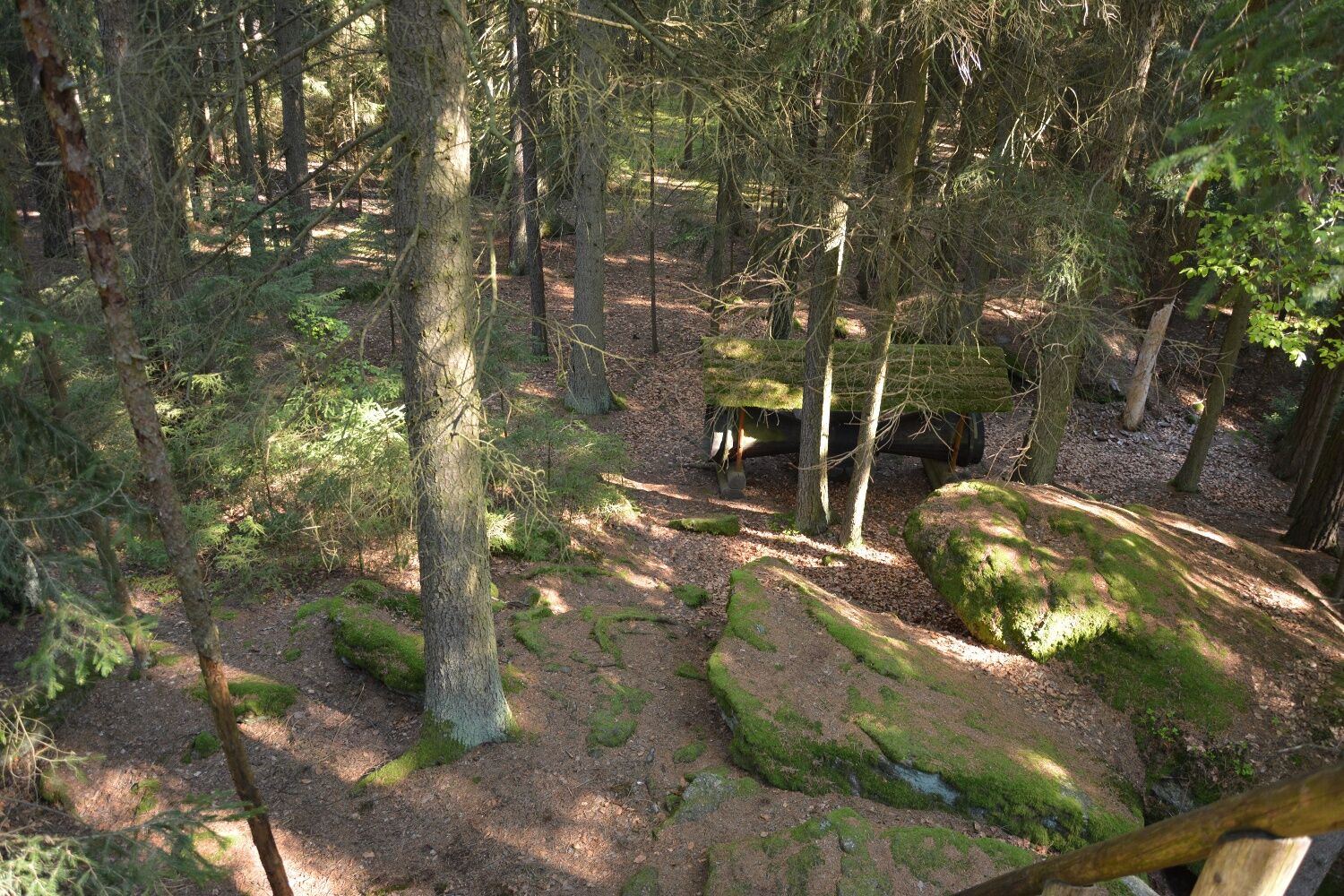
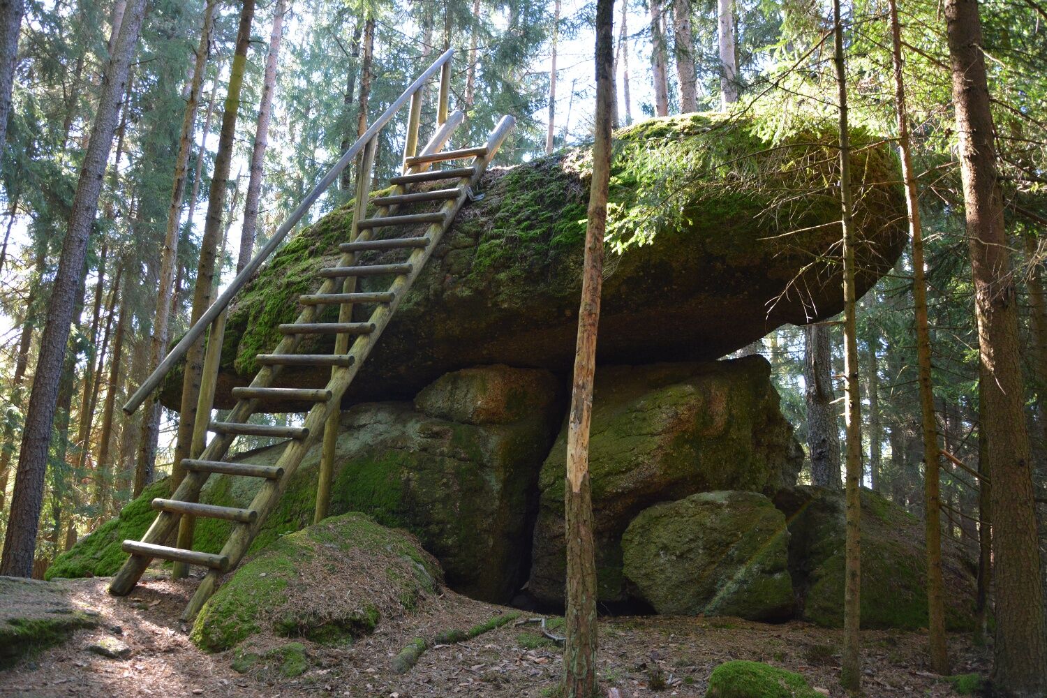
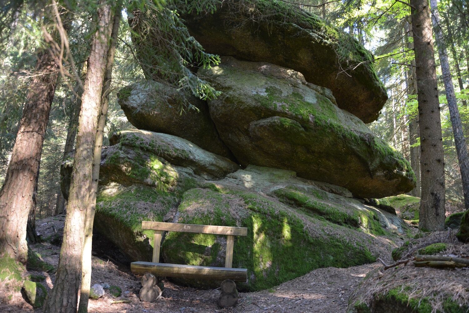
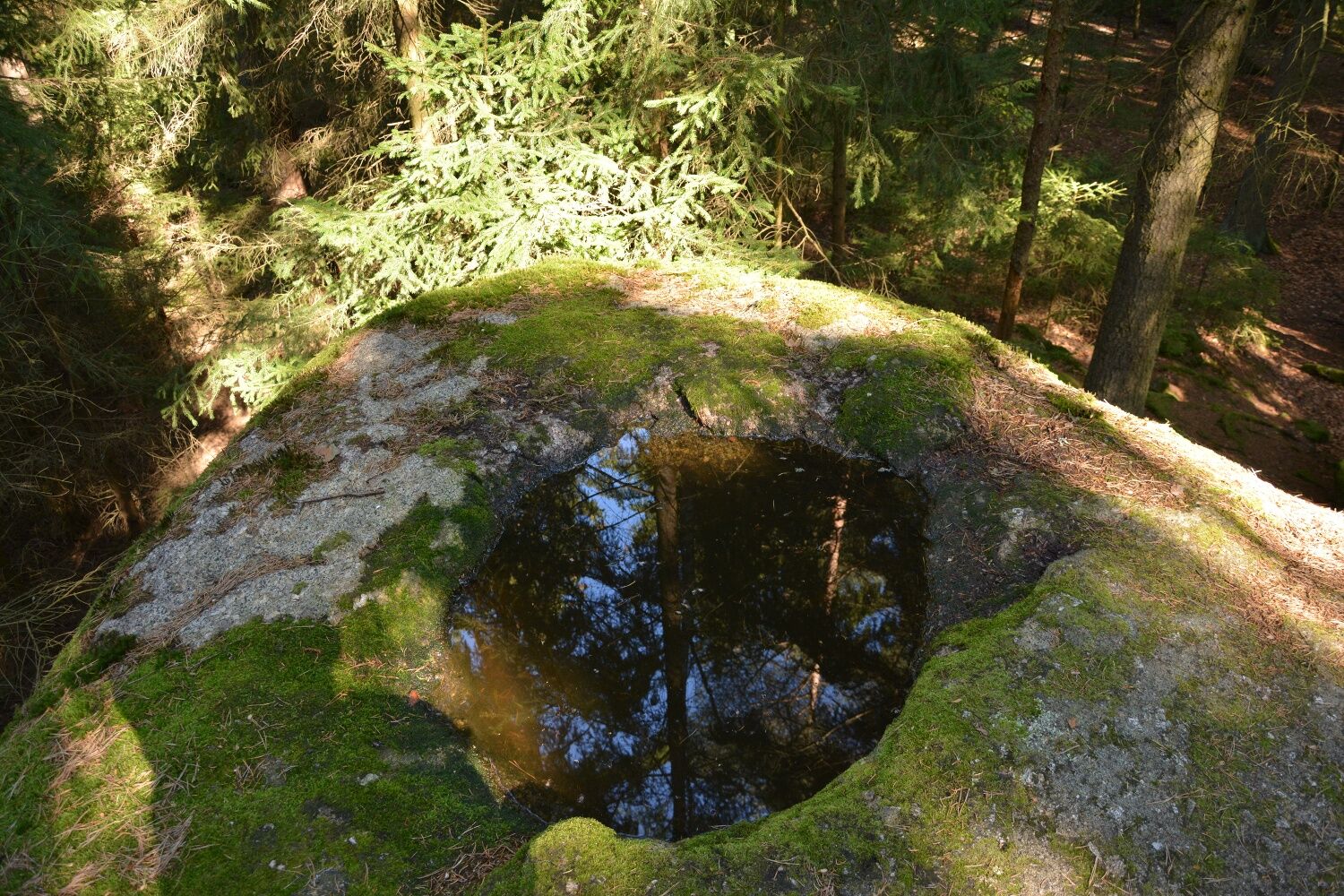
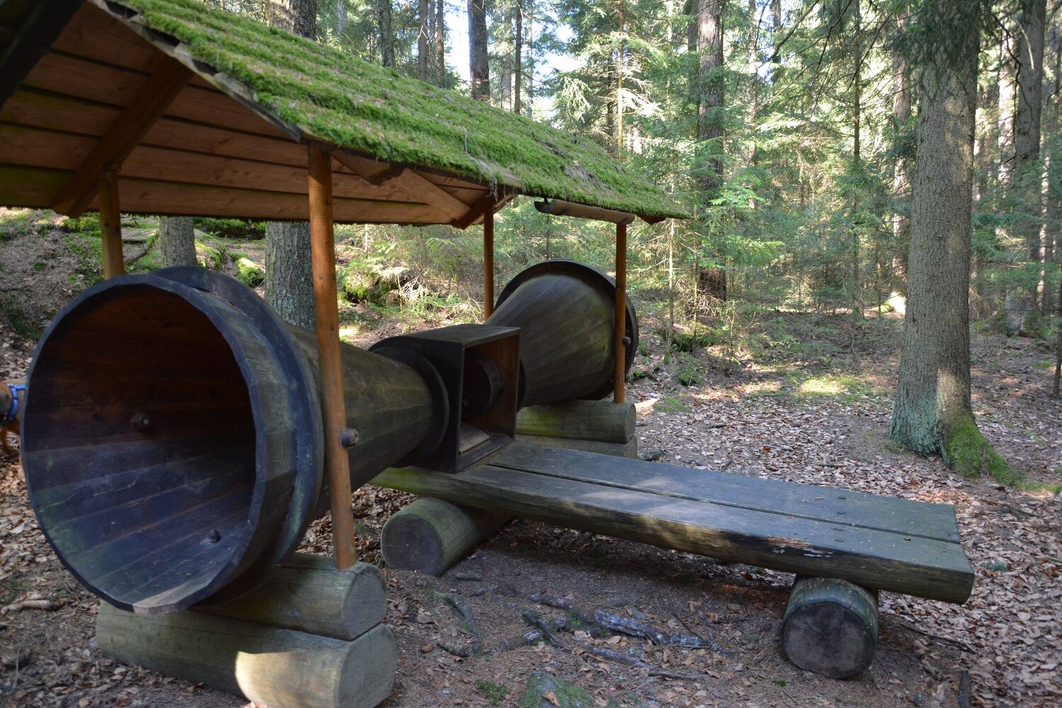

<p>The path leads past the roundabout over a field and meadow path to the Opferstein and further to Thail. After the village, you turn onto a field path and reach the road to Böhmsdorf. There you hike past the Böhmsdorf mill to the end of the village and follow the path towards Kierlingstein. This 6-meter long natural monument, an object of the Kraftarena Groß Gerungs, lies on four large stone blocks and has a bowl that is always filled with water. Here you can also try out the listening island. The return route is the same path back to the Böhmsdorf mill, but here you continue hiking towards Haid. At the newly built chapel, you cross the federal road and come back to Groß Gerungs via Ober Rosenauerwald and through a forest area along the Zwettl stream.</p>
<p>Sturdy footwear, functional clothing, sun and rain protection, map material, if necessary telescopic poles, first aid kit (blister plasters), sufficient provisions (snack, muesli bars, fruit, water).</p>
<p>Make sure when choosing the route that it matches your fitness level. Check whether the gastronomy establishments you want to visit are open. Pack your mobile phone and map material in your backpack.</p>
<p>Coming from St. Pölten via S33 to Krems, further via B37 and B38 to Zwettl and via B38 to Groß Gerungs.</p><p>Coming from Vienna via A22 and S5 to Krems, further via B37 and B38 to Zwettl and via B38 to Groß Gerungs.</p><p>Coming from the west via A1 to Linz, further on A7 and S10 to Freistadt, B38 to Karlstift, B38 to Groß Gerungs.</p>
<p>By bus from Krems via Zwettl, from Linz via Karlstift or Arbesbach or from Gmünd to Groß Gerungs.<br />Waldviertel railway from Gmünd to Groß Gerungs in the summer months.</p><p>All information about all bus and train lines to the Waldviertel can be found at <a href="www.vor.at">www.vor.at</a> or at <a href="www.oebb.at">www.oebb.at</...
<p>Parking spaces in Groß Gerungs,<br />Beware of the short-term parking zone at the main square of Groß Gerungs.</p>
Municipality of Groß Gerungs
3920 Groß Gerungs, Hauptplatz 18
(T) +43 2812 8611-0
(E) office@gerungs.at
(I) www.gerungs.at
(I) www.kraftarena.at
Waldviertel Tourism
3910 Zwettl, Sparkassenplatz 1/2/2
(T) +43 2822 54109
(E) info@waldviertel.at
(I) www.waldviertel.at
Also get to know the other places of the Kraftarena Groß Gerungs. (www.kraftarena.at).
Also recommended: a ride with the Waldviertel railway.
Získajte prehľad
Vždy naživo na mieste s viac ako 9 500 webovými kamerami. bergfex Ako používateľ Pro si teraz môžete pozrieť príslušné webové kamery pre mnohé zájazdy v aplikácii zájazdy z. Môžete si tak priamo prezerať aktuálne podmienky.

Obľúbené výlety v okolí
-
4,1
Wandern im Liebenauer Moor
svetloTuristika 4,16 km -
4,3
Teddybear Trail Lohnbachfall
svetloTematická trasa 4,41 km -
4,3
TiWaLi Kamptal-Weißenbach-Runde
svetloTuristika 10,6 km -
4,1
Naturparkweg Bad Großpertholz
svetloTuristika 7,17 km -
4,8
Höllfall und Lohnbachfall
Turistika 13,8 km -
4,8
4-Berge Marsch Mandelstein - Nebelstein - Wachberg - Johannesberg
Turistika 30,8 km -
4,6
Rappottenstein
svetloTuristika 10,1 km -
4,0
Nordwaldstrecke
Mountainbike 25,1 km -
5,0
Freiwald route
strednáMountainbike 33,3 km -
5,0
Liebenau Nr. 31 Kampursprung
svetloTuristika 10,3 km
Turistika a stopovanie


Nenechajte si ujsť ponuky a inšpiráciu na ďalšiu dovolenku
Vaša e-mailová adresa bol pridaný do poštového zoznamu.





