







Observatory hiking trail
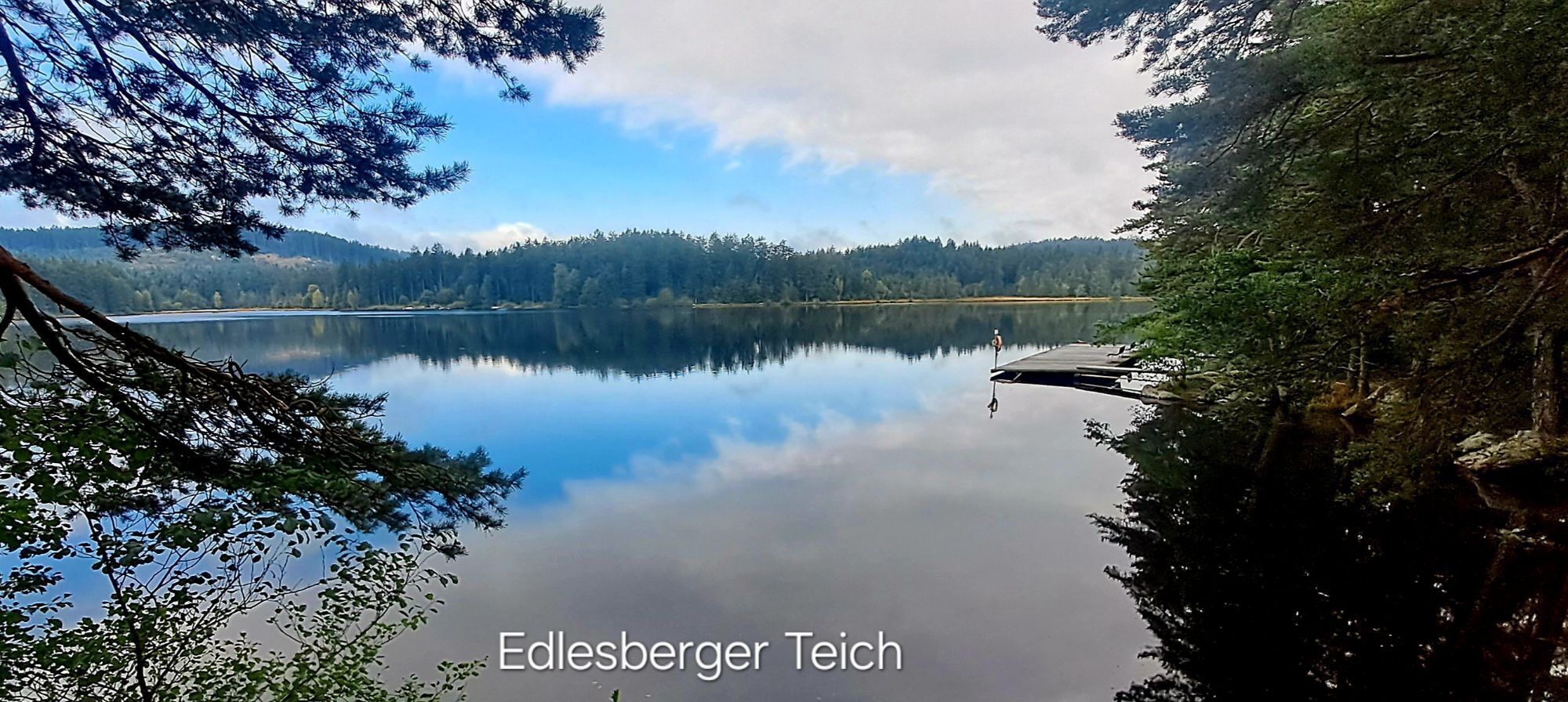
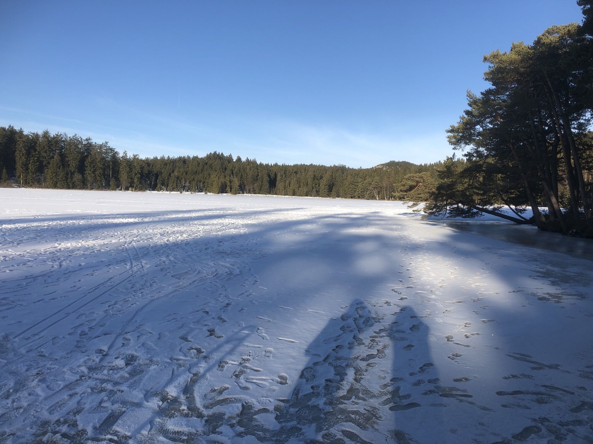

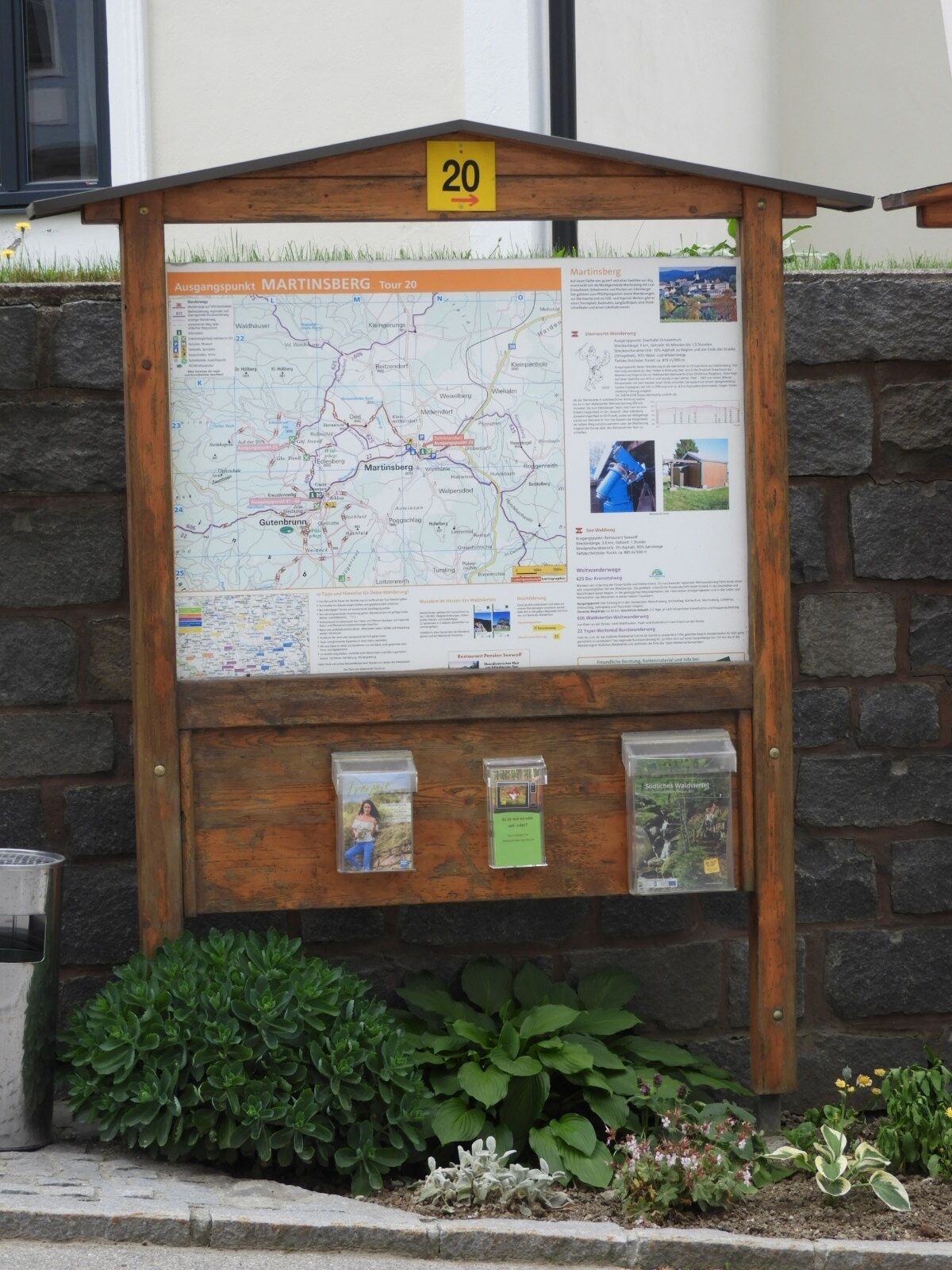
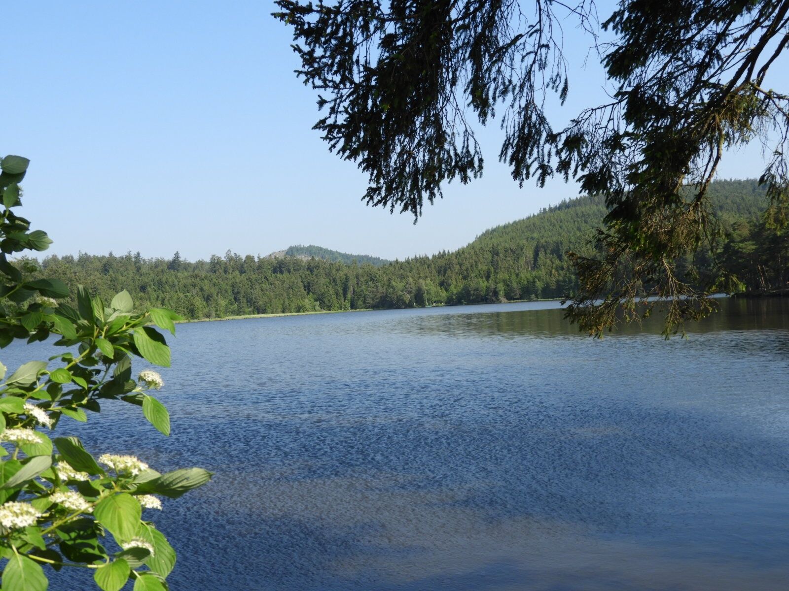
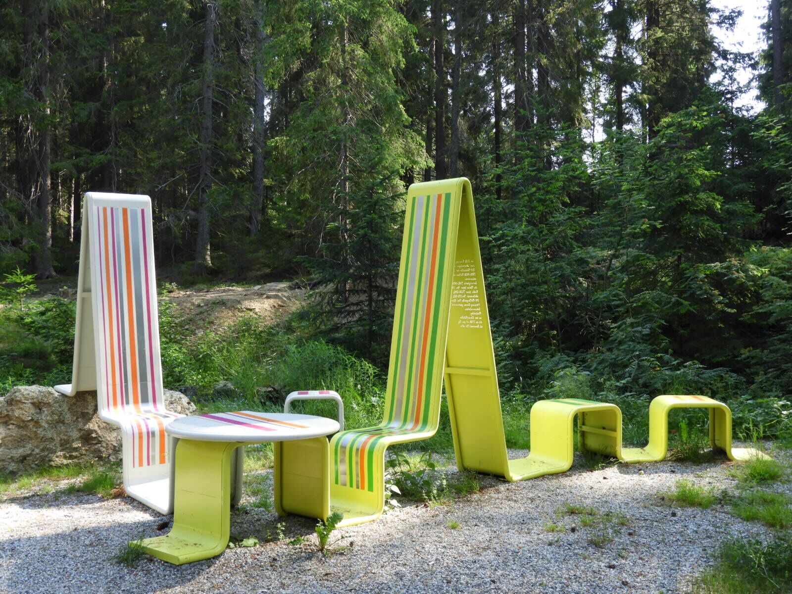
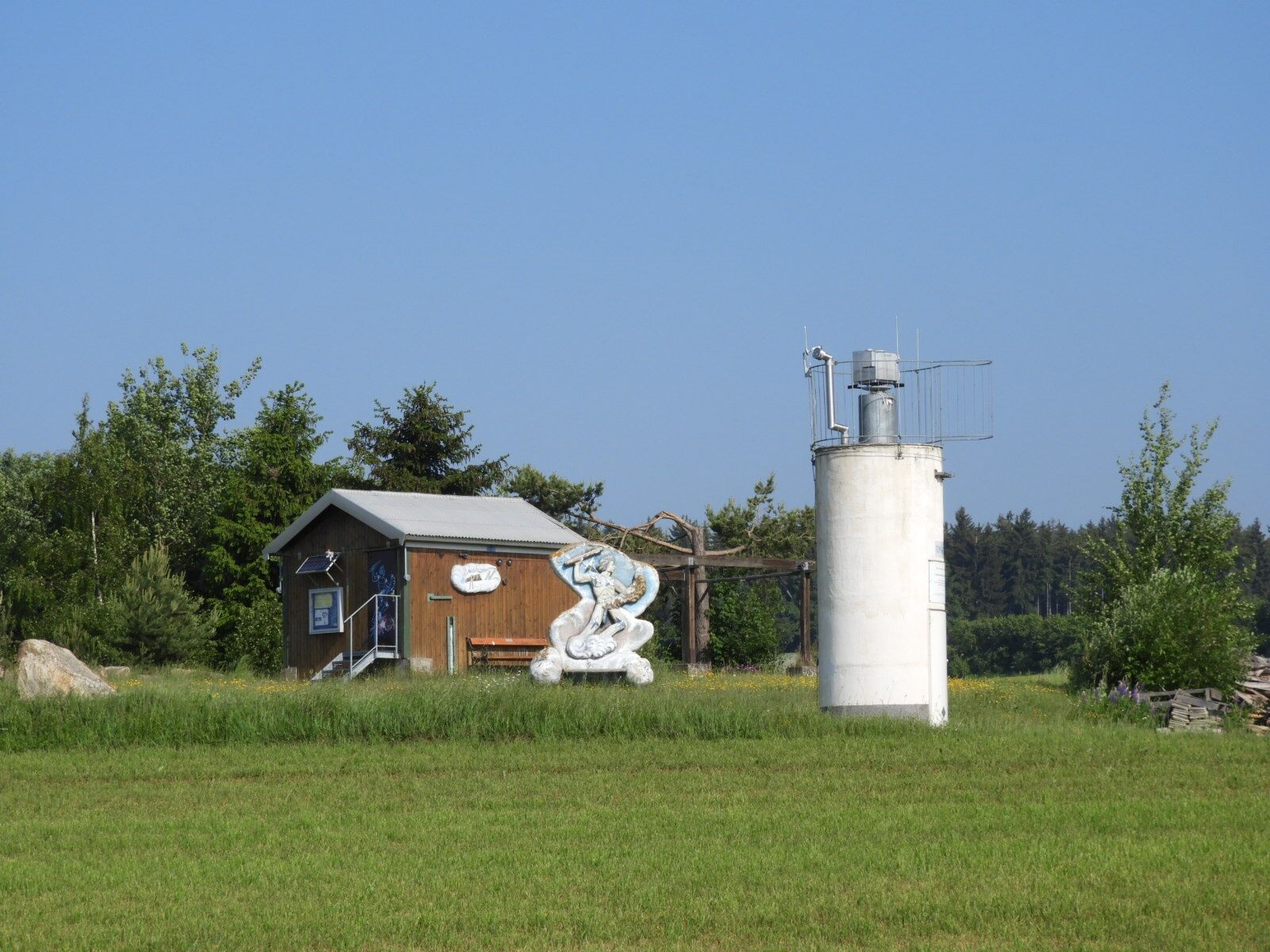
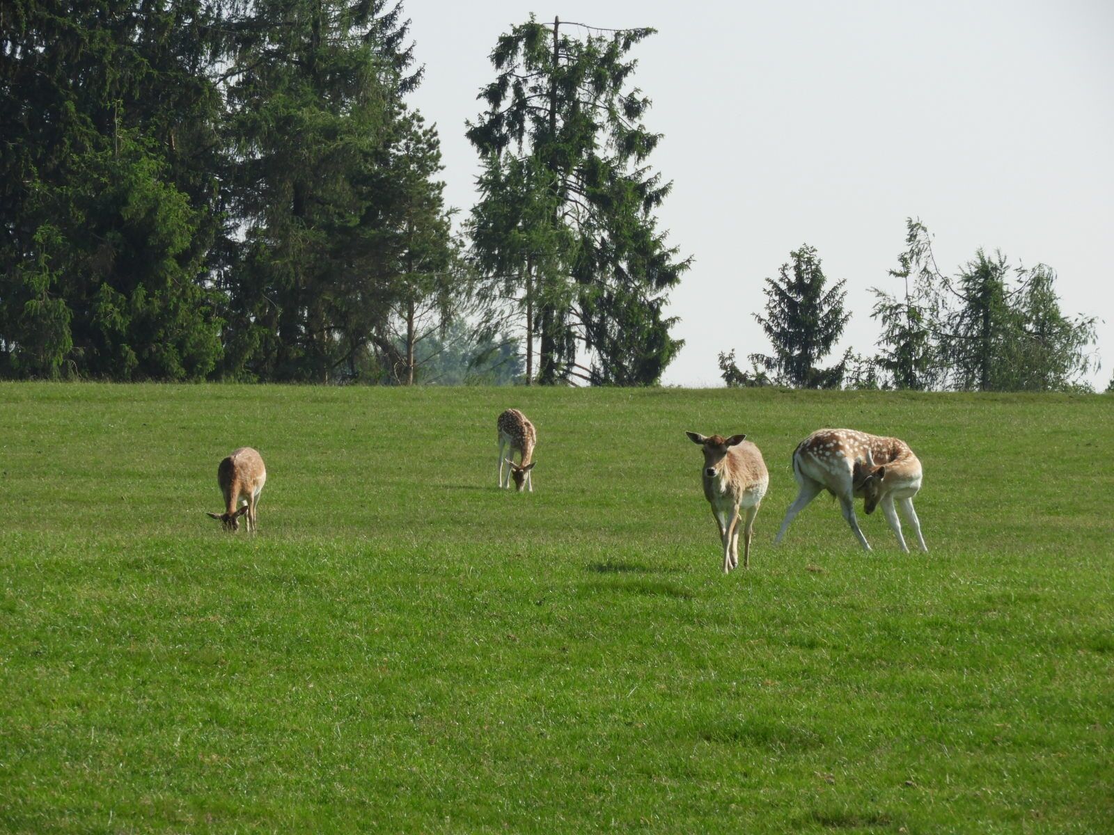

<p>Start is opposite the municipal office in the town center of Martinsberg (starting panel no. 20). Along the main street, follow the trail to the junction towards Oed. Continue along Eichenstraße to house no. 17, then follow the marking left over a field path to the Astronomical Center Martinsberg (AZM). It is situated at an altitude of 870 meters and was opened in 2021 with the construction of a new exhibition and presentation building. The AZM includes the Waldviertel Orion Observatory, which has an excellent moon and planet telescope (Cassegrain with 310 mm aperture and approx. 4.3 m equivalent focal length). There is also an automatic meteor camera station at this location. It is part of the Central European fireball network. New at the location is a privately operated comet station.<br />From March to May and July to November, fixed guided tours are offered twice a month. In June and from December to the end of February, as well as outside fixed dates, special guided tours for celestial events take place. Information is available at www.martinsberg.at/Freizeit_Tourismus/Sternwarte_Orion.<br />From the observatory, continue hiking northwest to the wildlife enclosure, then through the village of Edlesberg and further to Edlesberger Lake. There, the seating sculpture “Schwemmen” on the shore invites you to a short rest. Follow the marking back to the observatory. The hike then continues left towards Reitzendorfer Pond. From there, follow the markings via Kleinmitterndorf back to Martinsberg to the starting point.</p>
<p>Sturdy footwear, functional clothing, sun and rain protection, maps, telescopic poles if necessary, first aid kit (blister plasters), sufficient provisions (snack, muesli bars, fruit, water).</p>
<p>Make sure when choosing your route that it matches your fitness level. Check whether the catering businesses you want to visit on the way are open. Pack your charged mobile phone and maps in your backpack. Always carry a passport or ID card for cross-border routes.</p>
<p>All information about all bus and train lines to the Waldviertel can be found at www.vor.at or www.oebb.at.</p>
<p>at the Martinsberg municipal office</p>
Martinsberg Market Town
Markt 6
3664 Martinsberg
(T) +43 (0) 2874/62 78
(E) gemeinde@martinsberg.at
(I) www.martinsberg.at
Waldviertel Tourism
3910 Zwettl, Sparkassenplatz 1/2/2
(T) +43(0)2822/54109
(E) info@waldviertel.at
(I) www.waldviertel.at
Získajte prehľad
Vždy naživo na mieste s viac ako 9 500 webovými kamerami. bergfex Ako používateľ Pro si teraz môžete pozrieť príslušné webové kamery pre mnohé zájazdy v aplikácii zájazdy z. Môžete si tak priamo prezerať aktuálne podmienky.
Obľúbené výlety v okolí
-
4,0
Yspertal: Druidenweg - Ysperklamm
strednáTuristika 9,56 km -
4,7
Waldhausen: Outlook circuit
strednáTuristika 14,0 km -
4,6
Ausgedehnte Peilsteinrunde
strednáTuristika 13,7 km -
4,6
Herzsteinweg Ysper und Burgsteinmauer
strednáTuristika 14,7 km -
4,9
LAIMBACH Ostrong Peilstein 20220716
strednáTuristika 7,70 km -
4,0
Burgstall-Wanderweg Nr. 3
strednáTuristika 11,8 km -
4,3
Teddybear Trail Lohnbachfall
svetloTematická trasa 4,41 km -
4,8
Ysperklamm
strednáTuristika 8,74 km -
3,8
Bärnkopf Ysperklammstrecke
ťažkéMountainbike 31,0 km -
4,7
Höllfall und Lohnbachfall
Turistika 13,8 km

Turistika a stopovanie


Nenechajte si ujsť ponuky a inšpiráciu na ďalšiu dovolenku
Vaša e-mailová adresa bol pridaný do poštového zoznamu.





