







Trude Marzik Path

It is like with wine, and one can say, as with life in general: it’s all about the right mix! Who wants monotony? Especially in leisure and on vacation. There is an area that seems as if the good Lord...
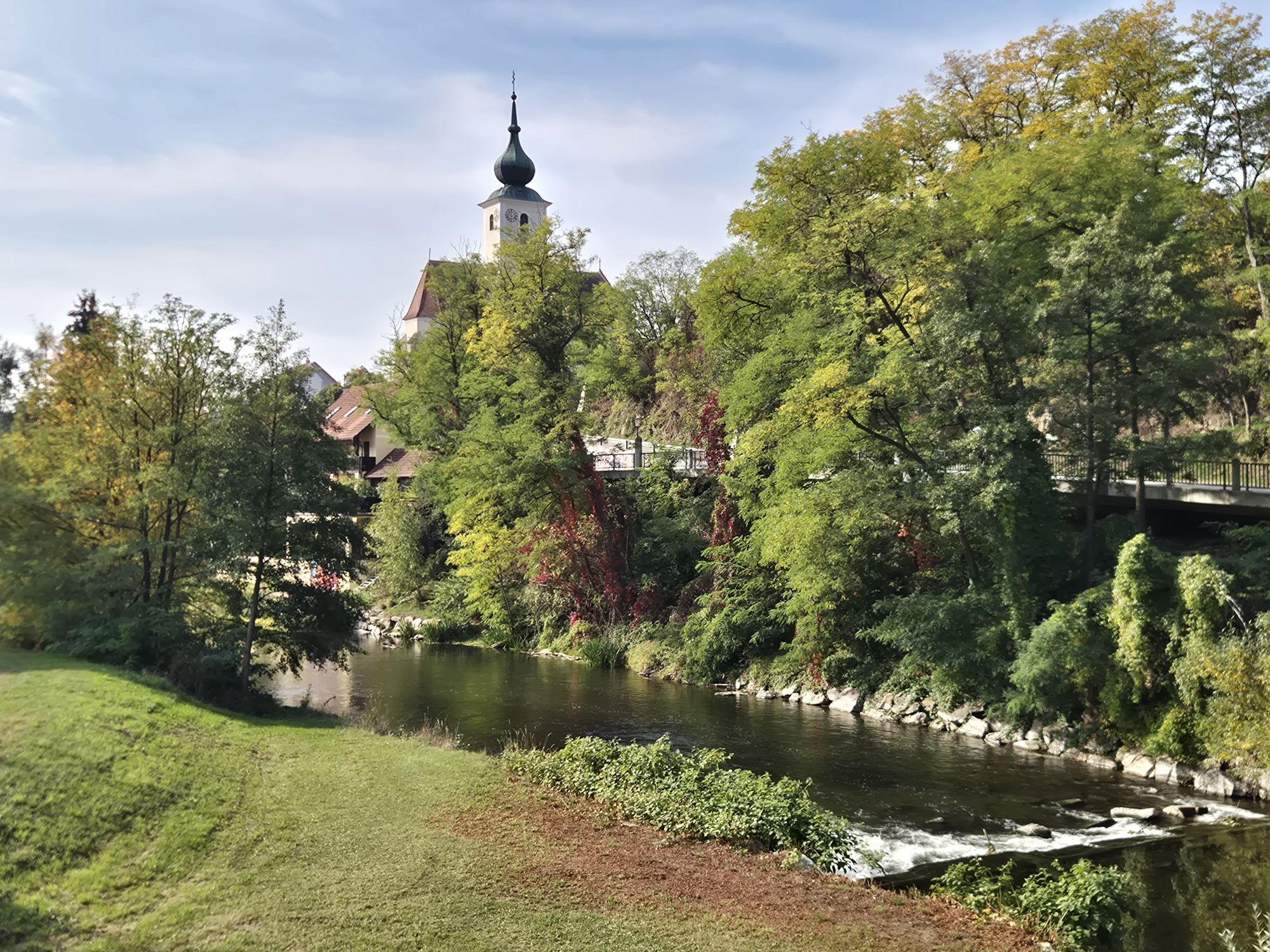
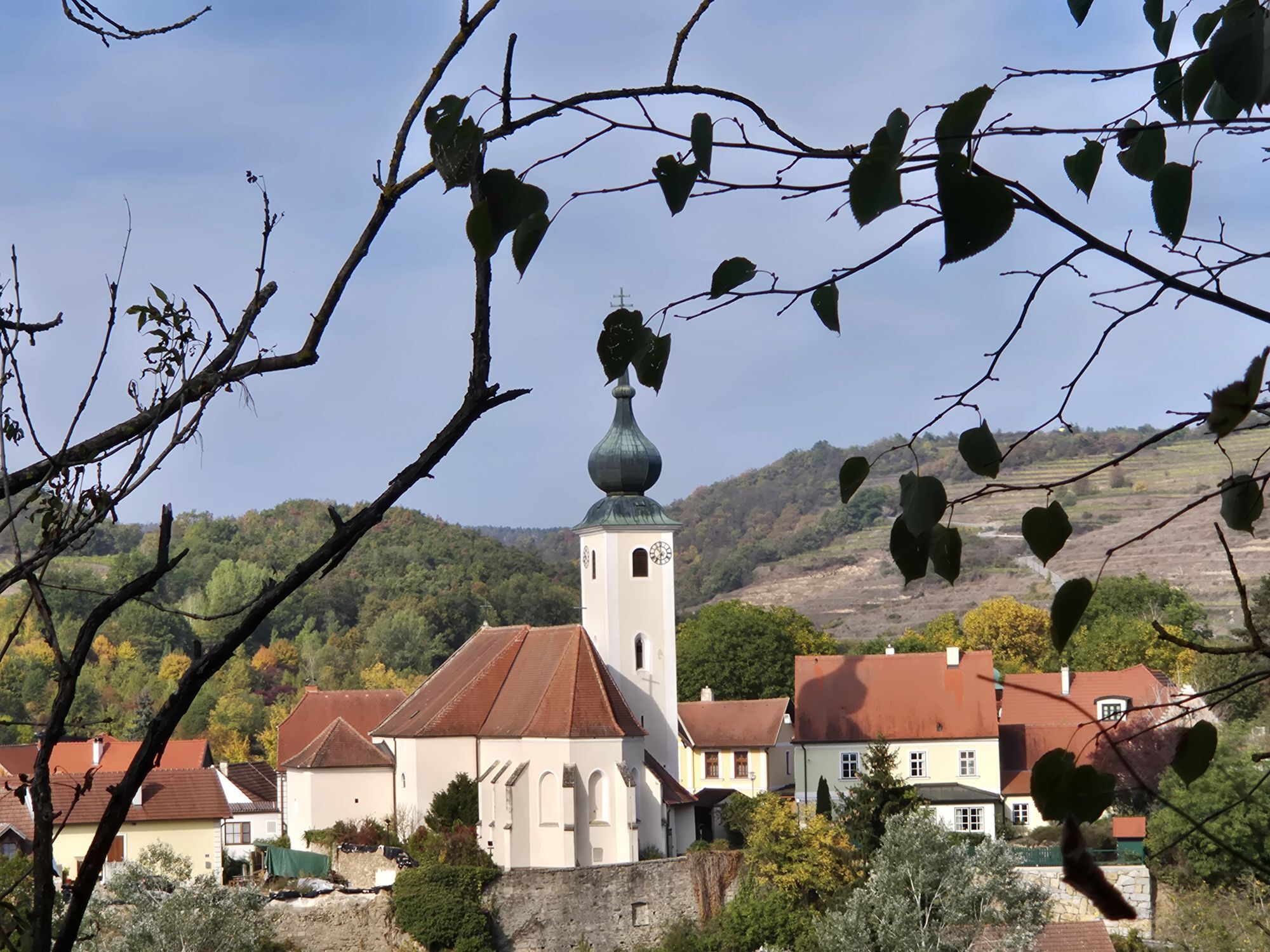
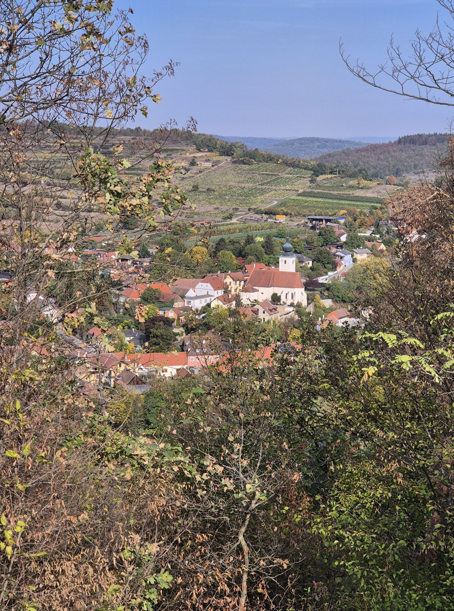
<p>It is like with wine, and one can say, as with life in general: it’s all about the right mix! Who wants monotony? Especially in leisure and on vacation. There is an area that seems as if the good Lord mixed a cocktail here, which serves no other purpose than pure relaxation: the municipality of Schönberg am Kamp. The southern slopes of the Manhartsberg with their typical vineyard terraces meet here the river landscape of the Kamp and the foothills of the mystical Gföhlerwald. The result is a very special mix of wine, water, and forest right in the nature park, which is hard to find elsewhere.
</p><p>The market town Schönberg, 53 km² and 13 cadastral communities with a total of 14 villages: Schönbergneustift, Schönberg, Mollands, See, Stiefer, Thürneustift, Buchberger Waldhütten, Altenhof, Plank, Oberplank, Fernitz, Freischling, Raan, and Kriegenreith.</p>

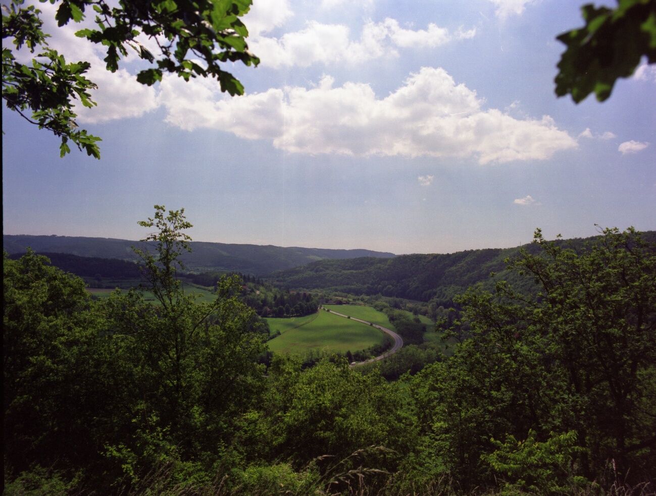

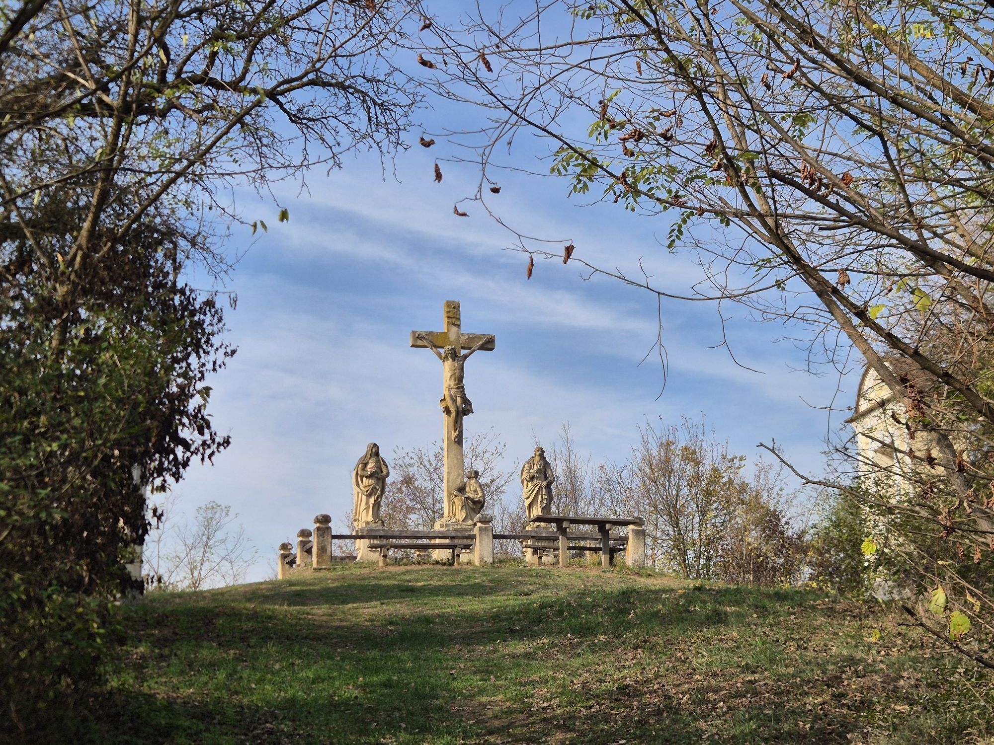
<p>The circular hiking route requires some stamina. Starting from Schönberg, near the "Alte Schmiede", you go up to the Kalvarienberg and from there further to Stiefern. From Stiefern, the route continues to Oberplank along the river educational trail. At a large seating area with information boards, the trail marking leads you left towards Thürneustift, where you reach the road by a small fire pond and continue to the right. After about 1 km you leave the road again and turn left towards the Stiefernbach valley. Upon arrival, you continue the hike to the left and after about 2.5 km you reach the Hammerschmiede, which is a true gem. Then you continue to Stiefern, where usually a wine tavern or the inn invites you to stop. You then hike back via the Kalvarienberg, which is special because both on the Stiefern and the Schönberg sides there is a stations of the cross. Both meet at the summit at the crucifixion group. From there, the path follows the forest educational trail back to Schönberg.</p>
<p>Vienna – Stockerau – Fels am Wagram – Hadersdorf am Kamp – Schönberg am Kamp<br /> Linz – St. Pölten – Krems – Langenlois – Schönberg am Kamp</p>
Alte Schmiede Wine/Experience/Information
Hauptstr. 36
3562 Schönberg am Kamp
T 02733/764 76
F 02733/764 77
alteschmiede@schoenberg.gv.at
www.schoenberg.gv.at
WALDVIERTEL Tourism
3910 Zwettl, Sparkassenplatz 1/2/2
(T) +43(0)2822/54109, Fax DW 36
Toll-free in Austria:
(T) +43(0)800/300 350
(E) info@waldviertel.at
(I) www.waldviertel.at
Obľúbené výlety v okolí
-
4,7
Weinweg Langenlois - wohin ? in und um Wien
svetloTuristika 5,68 km -
4,3
Zwei Ruinen und ein Schloss
svetloTuristika 7,25 km -
4,5
Gars am Kamp, Hirschbachrunde , Schimmelsprung und retour nach Unwetter 2024 Niederösterreich/Österreich
strednáTuristika 8,91 km -
4,5
Gaisberg-Rundwanderweg Straß im Straßertale
svetloTuristika 8,18 km -
4,6
Rosenburg-Steinegg Rosenburg, Niederösterreich
Turistika 18,5 km -
4,8
Kellergassen-Tour
ťažkéCyklistika 38,3 km -
4,4
Kremser Rieden- und Wanderkarte - Wanderung 12: Rundwanderweg Kremser Goldberg
strednáTuristika 8,34 km -
3,7
Rund um die Zienner Mühle (Kamp)
strednáTuristika 10,3 km -
4,5
Zweigelt Tour
strednáMountainbike 34,5 km -
4,6
Kamptalwarte von Langenlois aus
strednáTuristika 9,15 km
Turistika a stopovanie


Nenechajte si ujsť ponuky a inšpiráciu na ďalšiu dovolenku
Vaša e-mailová adresa bol pridaný do poštového zoznamu.





