







Kaisereben meadow Puchberg am Schneeberg
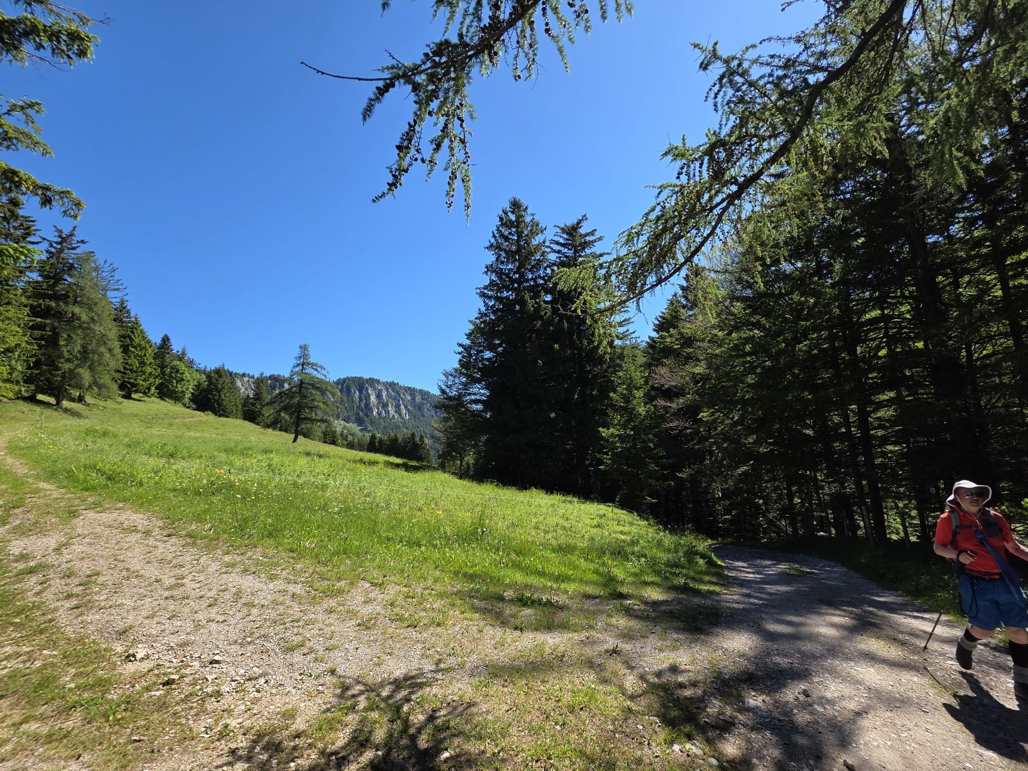
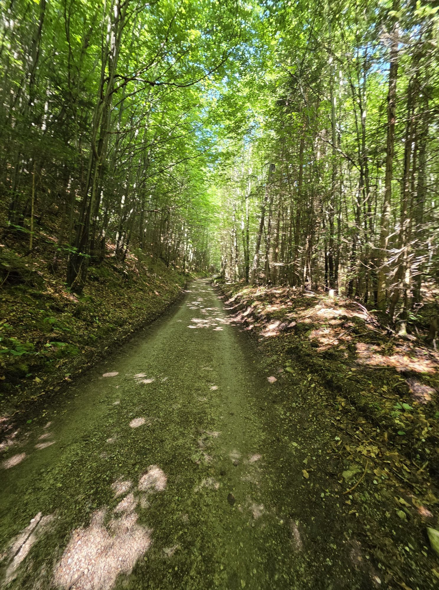
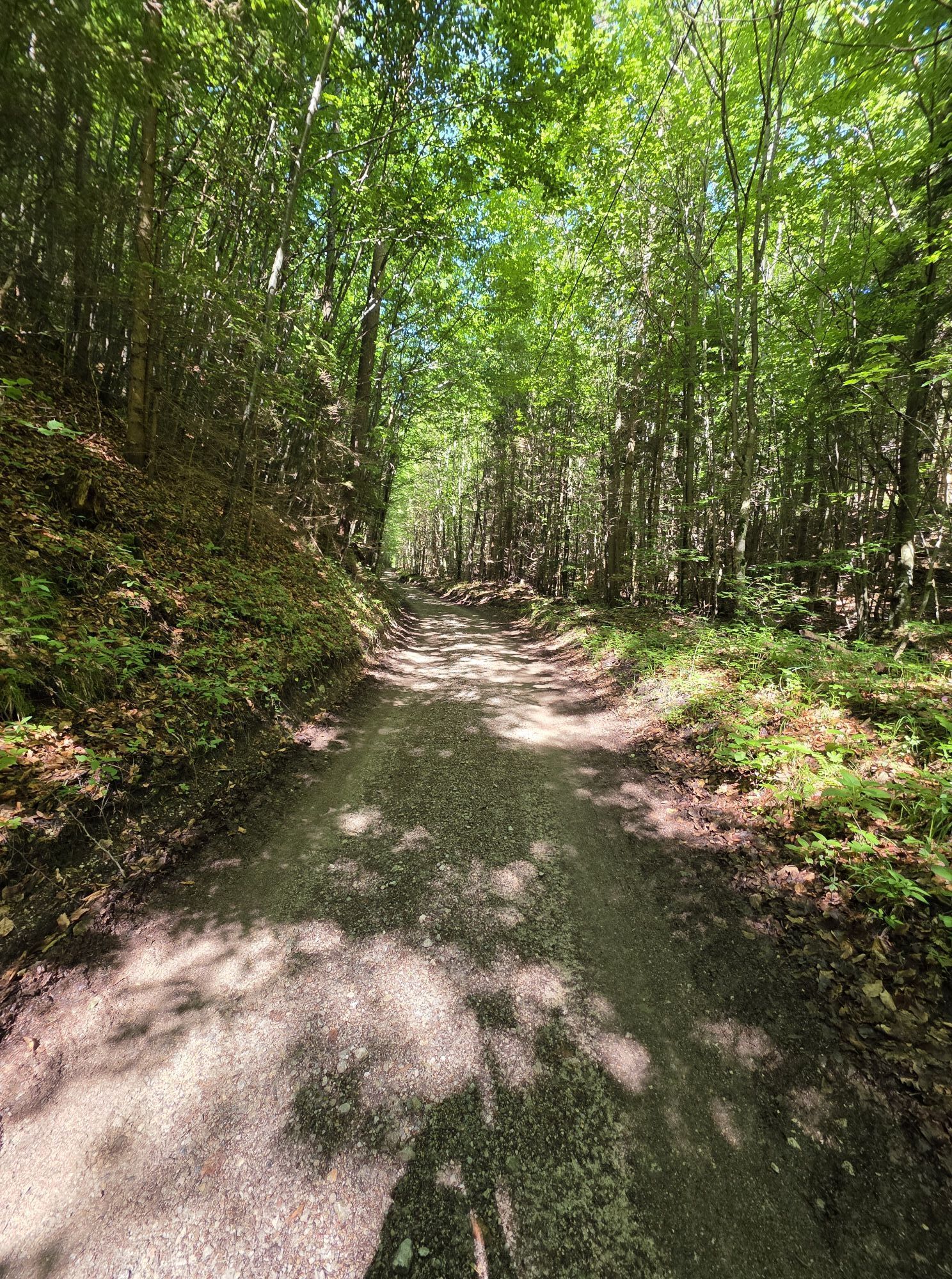
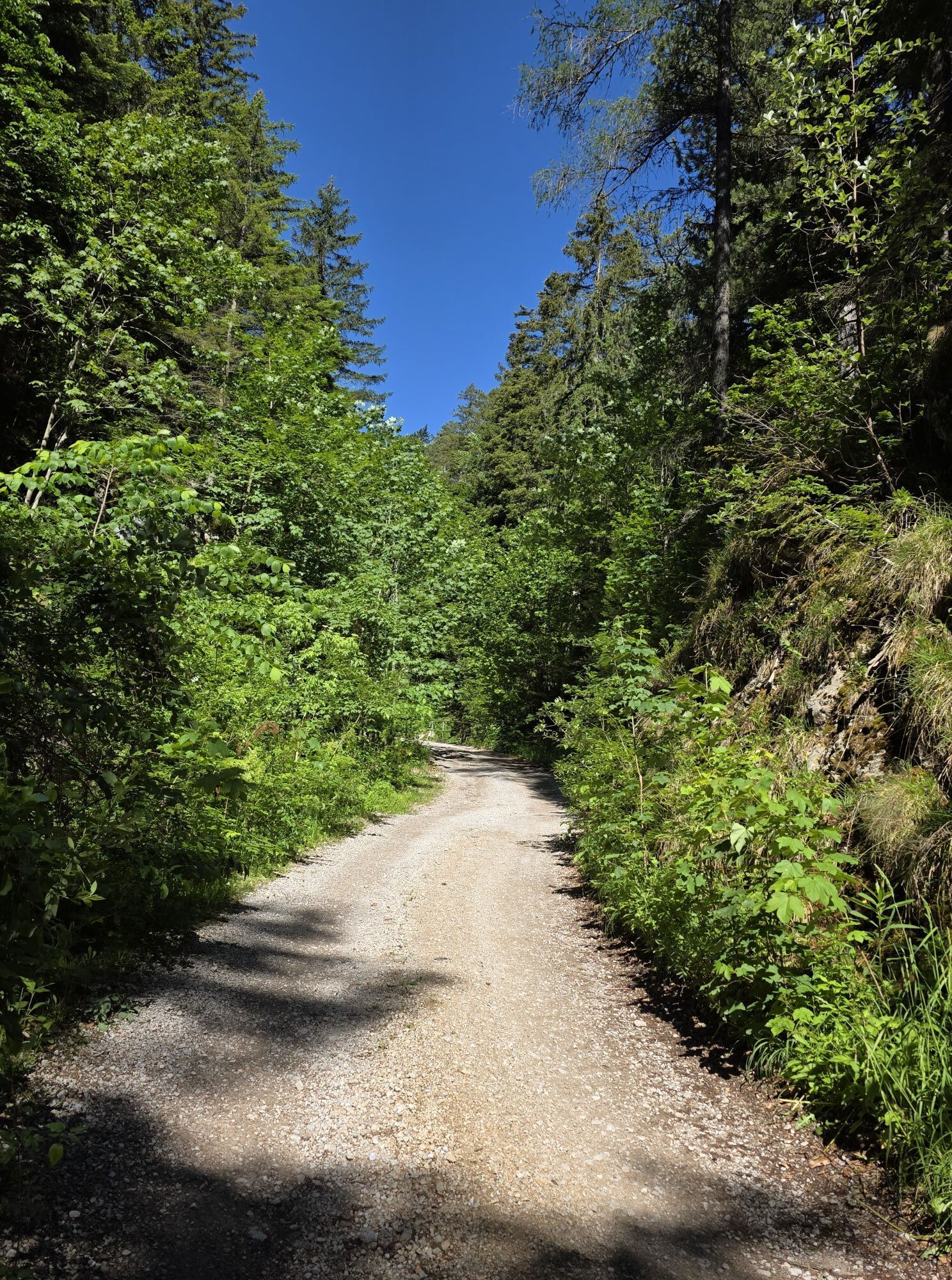
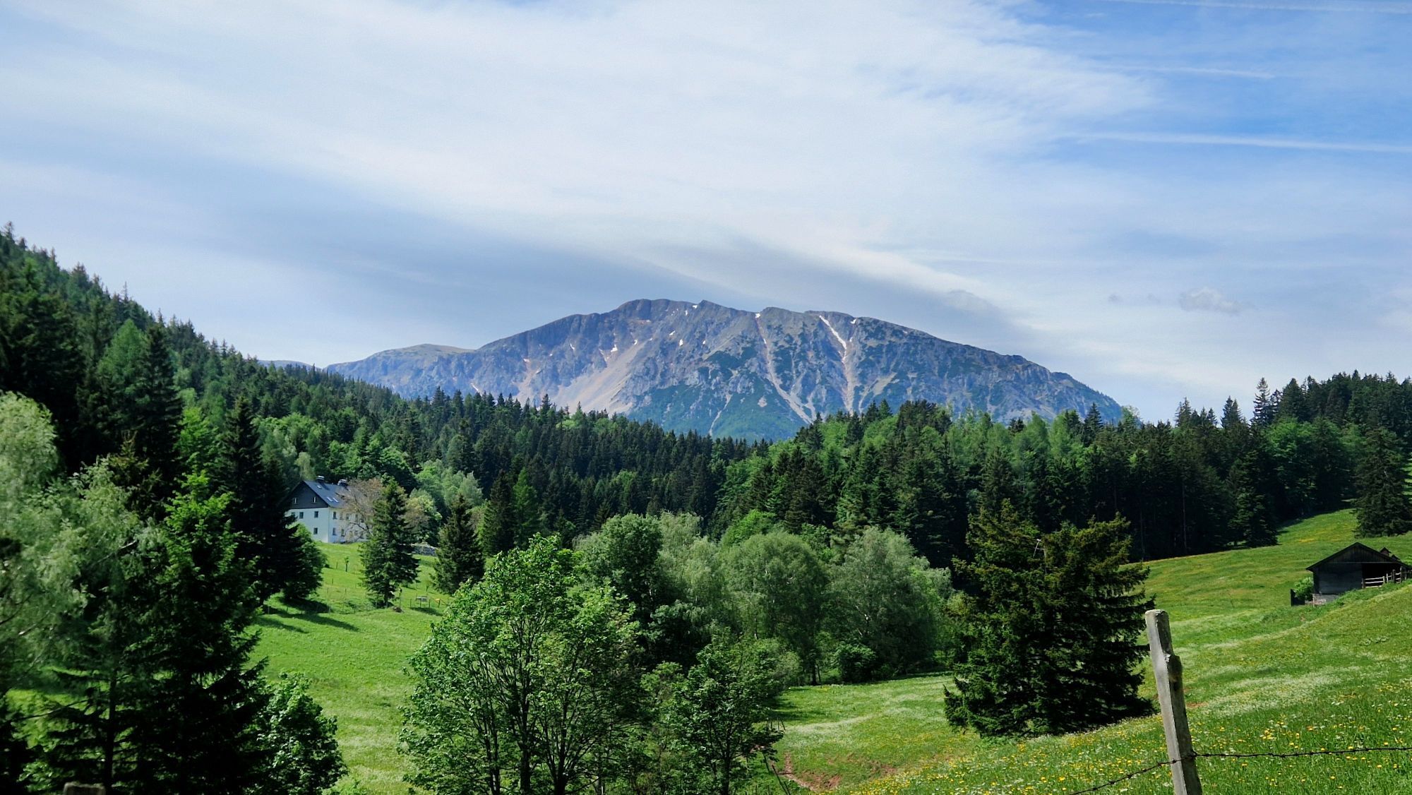
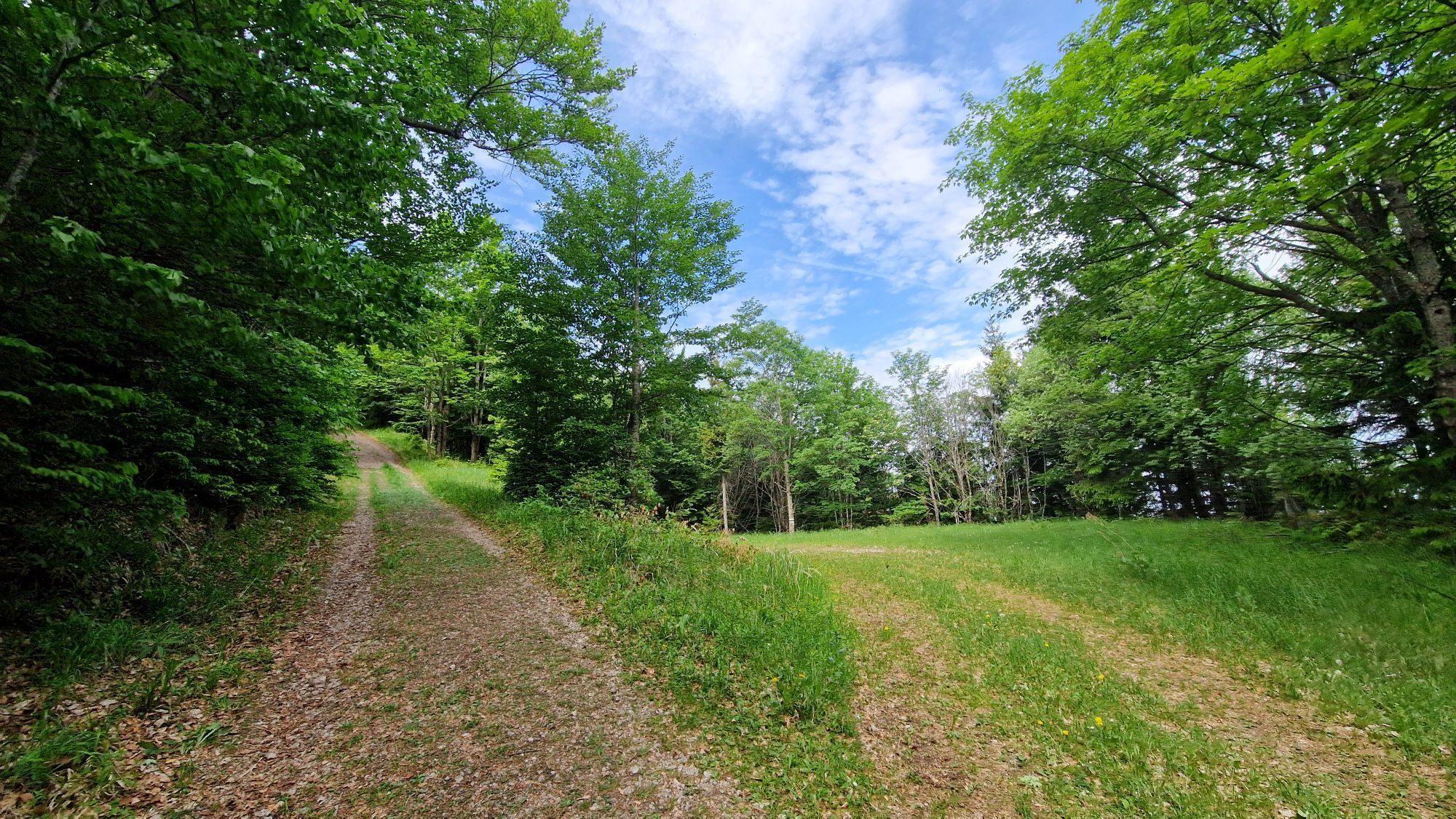
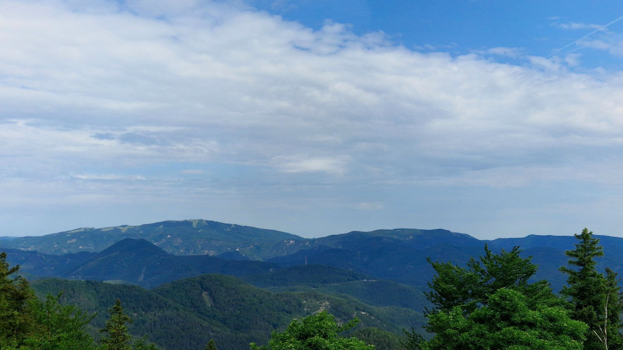
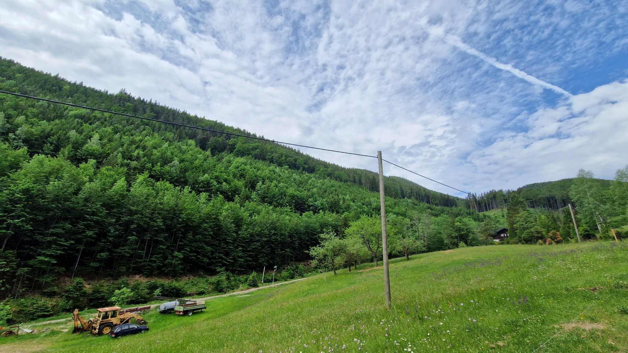
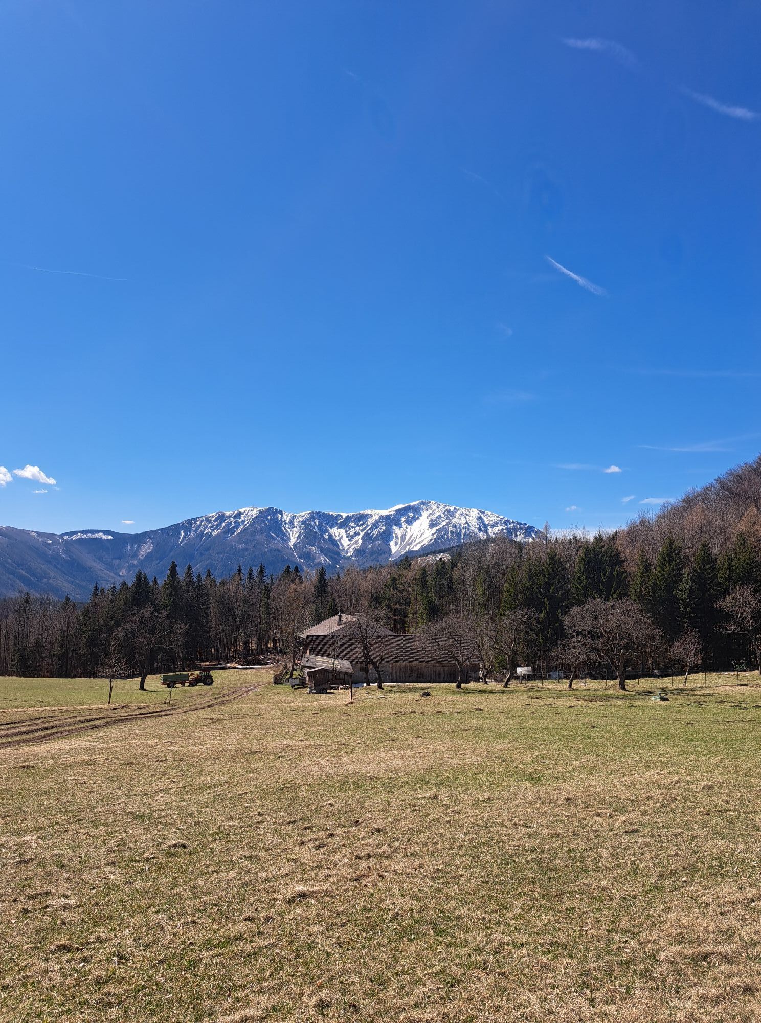
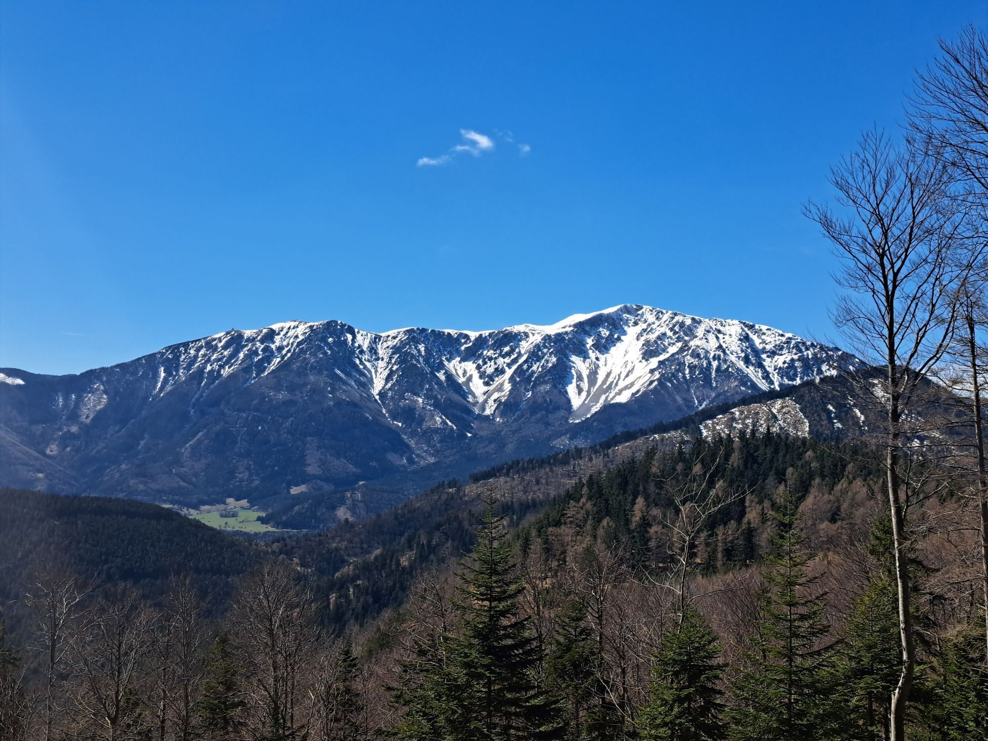
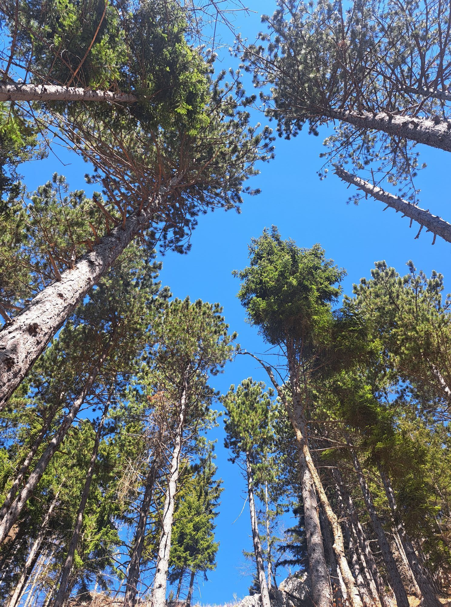
The circular hike starts in Puchberg am Schneeberg, either at the train station or at the tourist office. Those staying at the Landhaus Puchbergerhof or at the Ferienhaus Haltberghof should explore this...
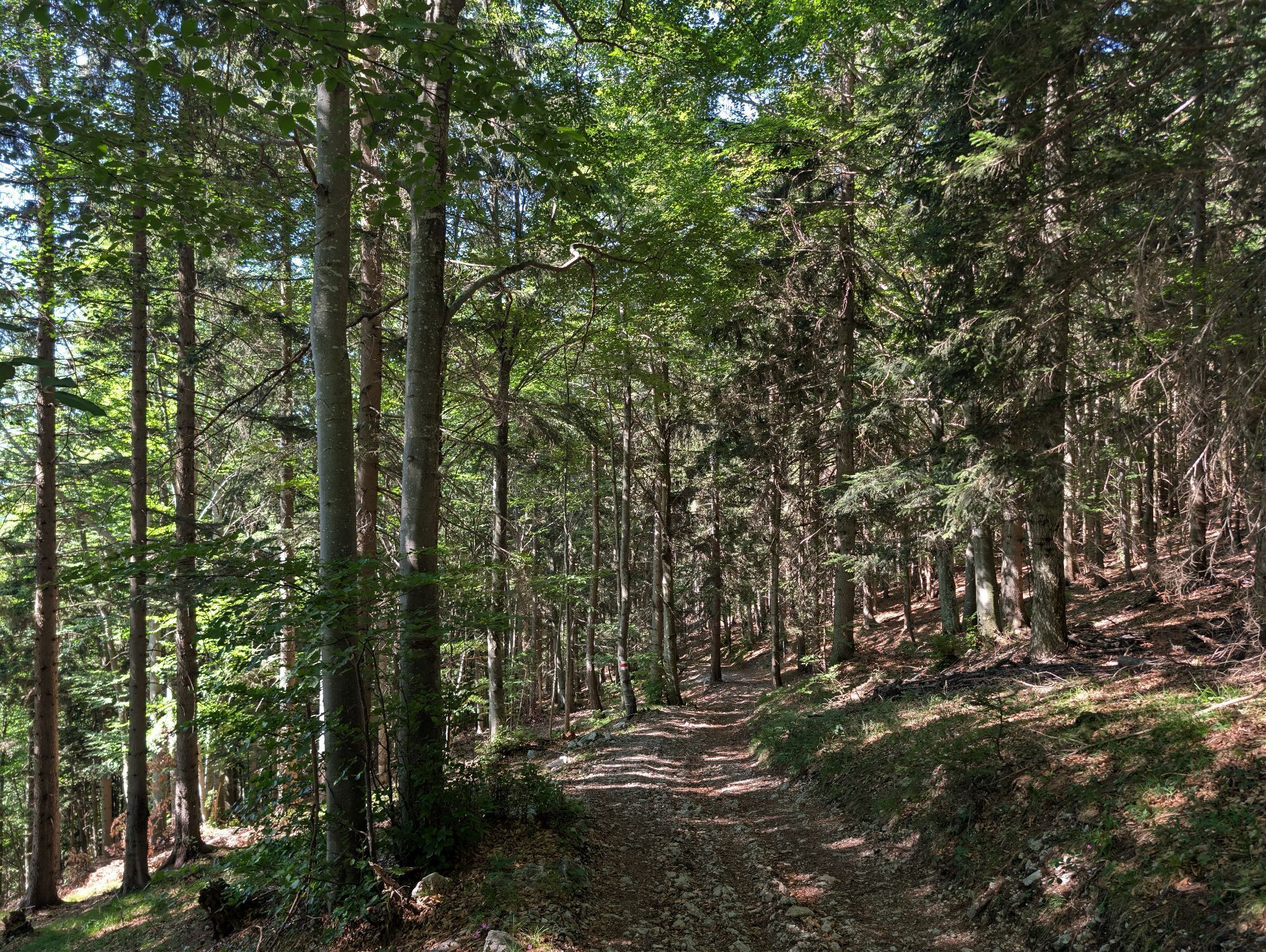
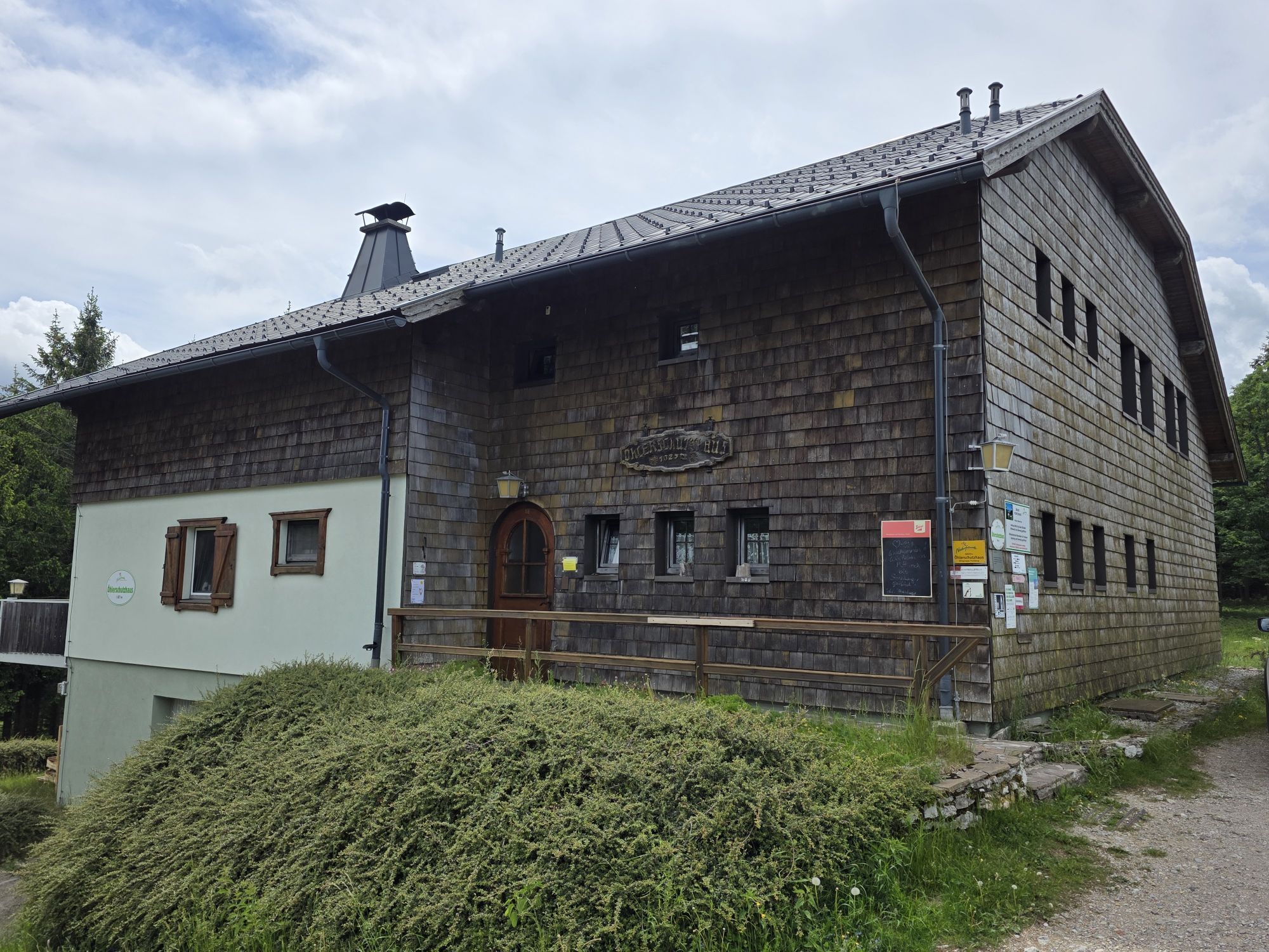
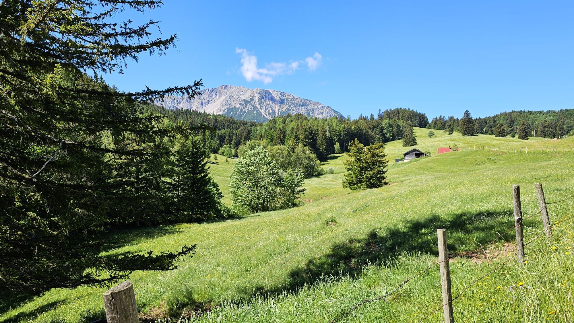
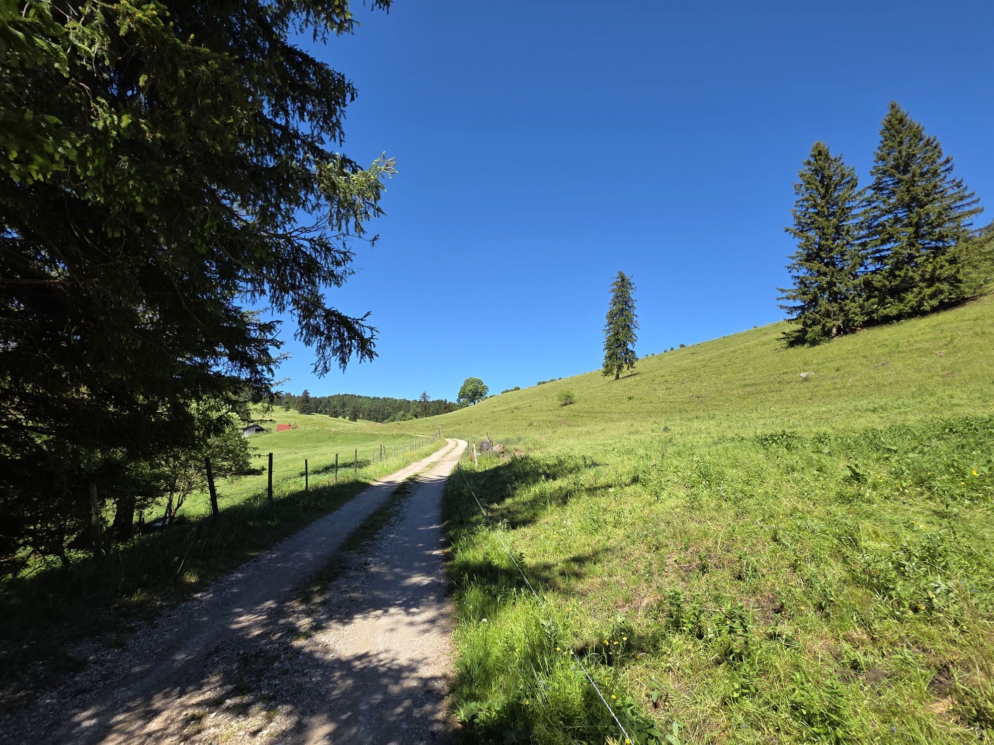
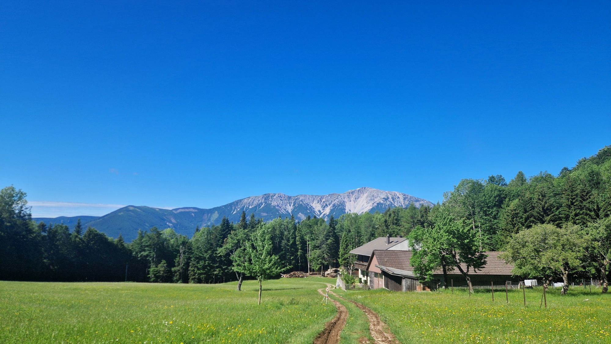
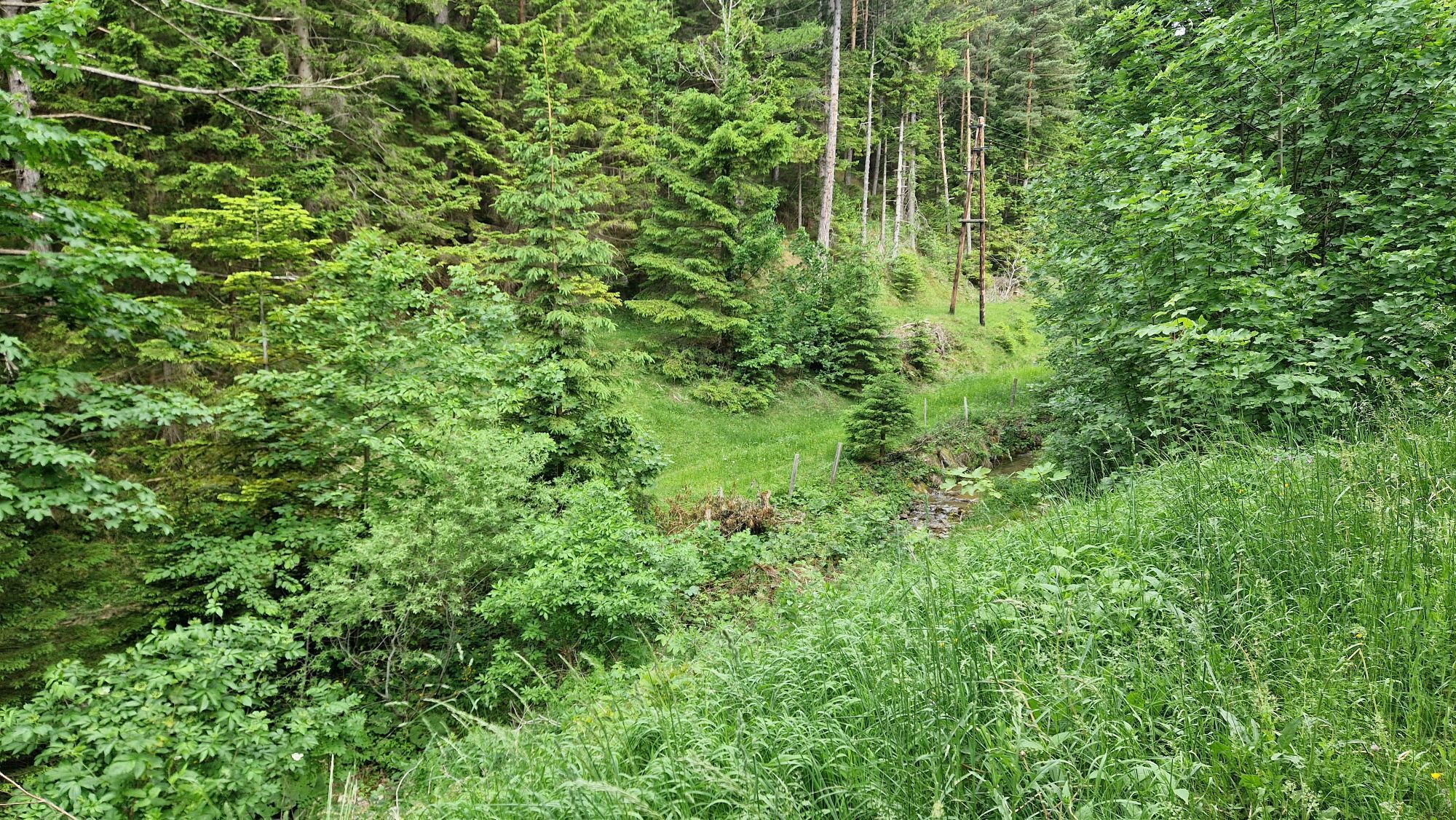
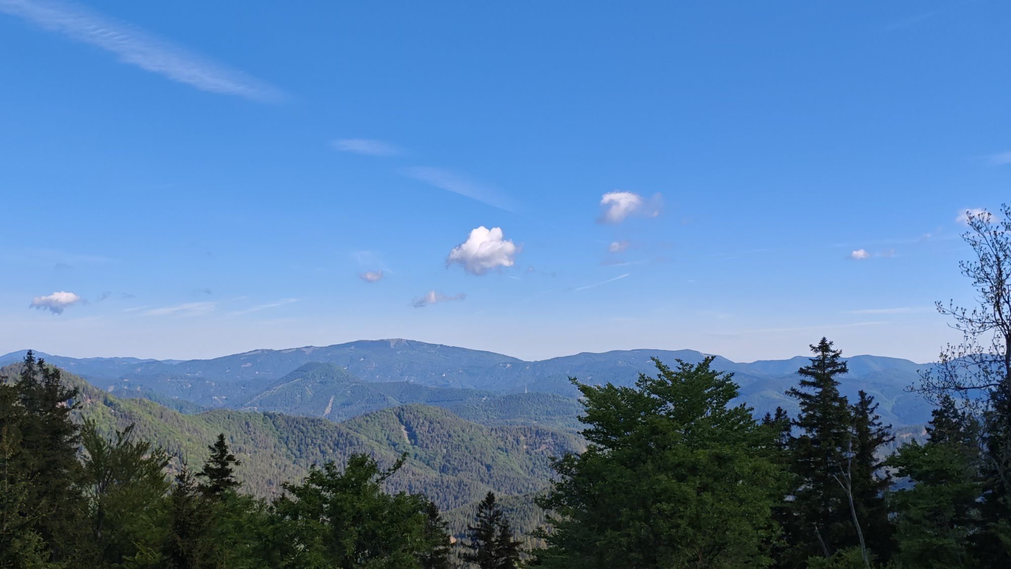
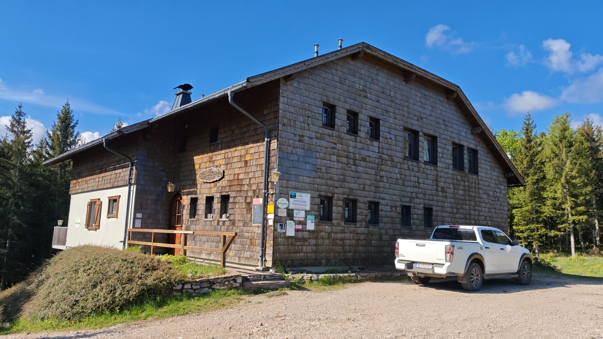
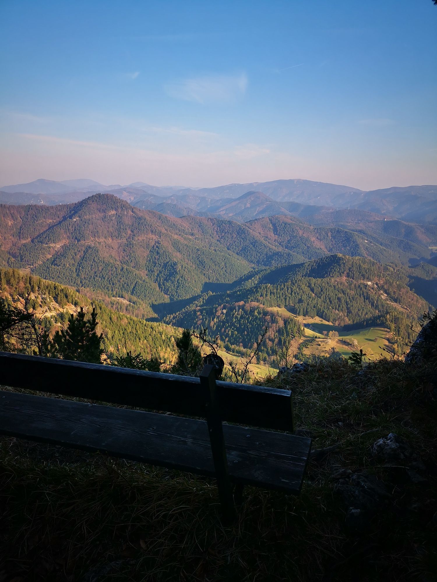
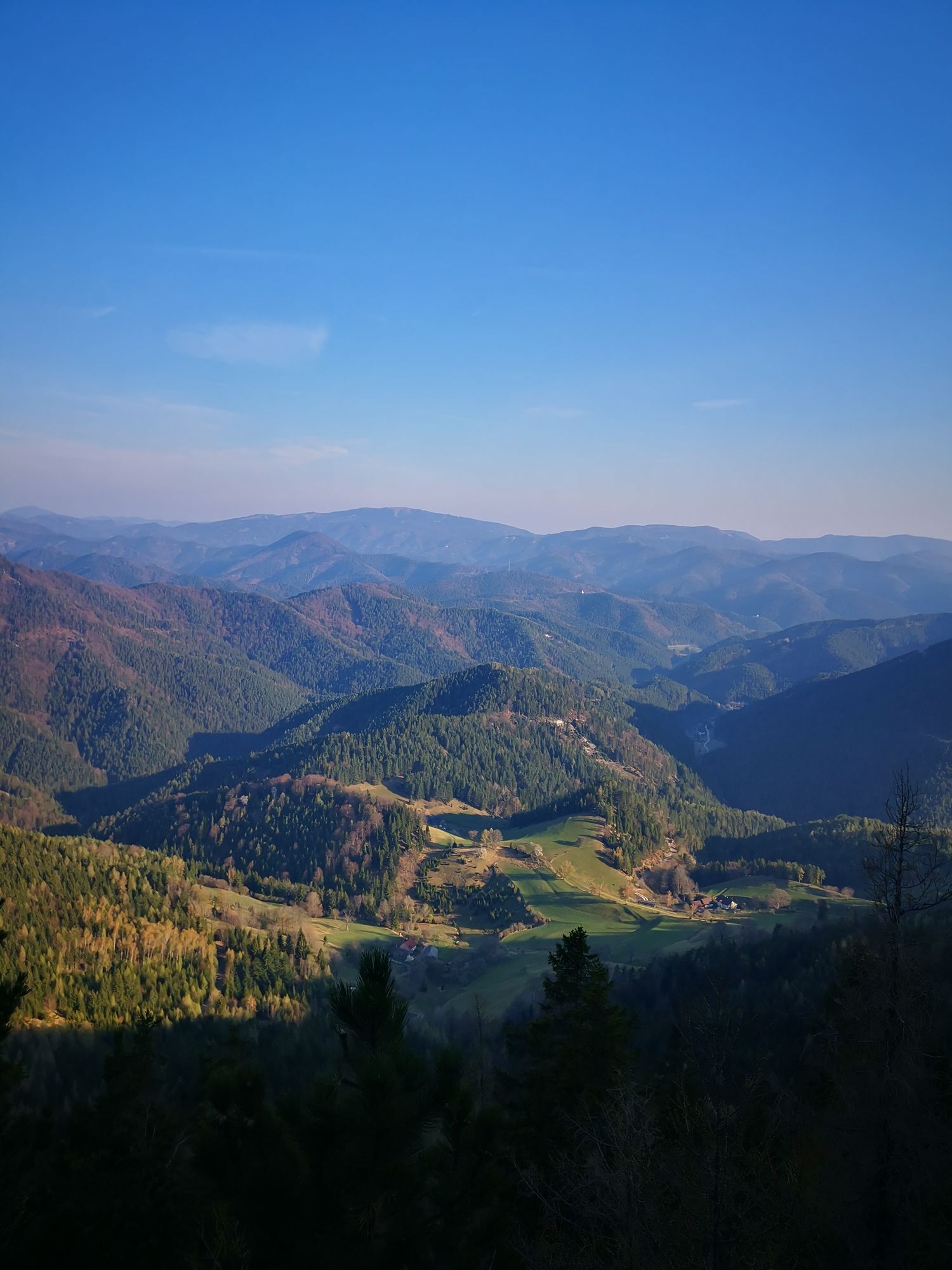
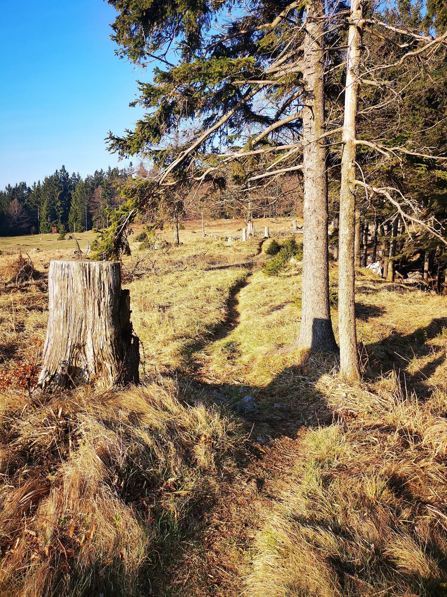
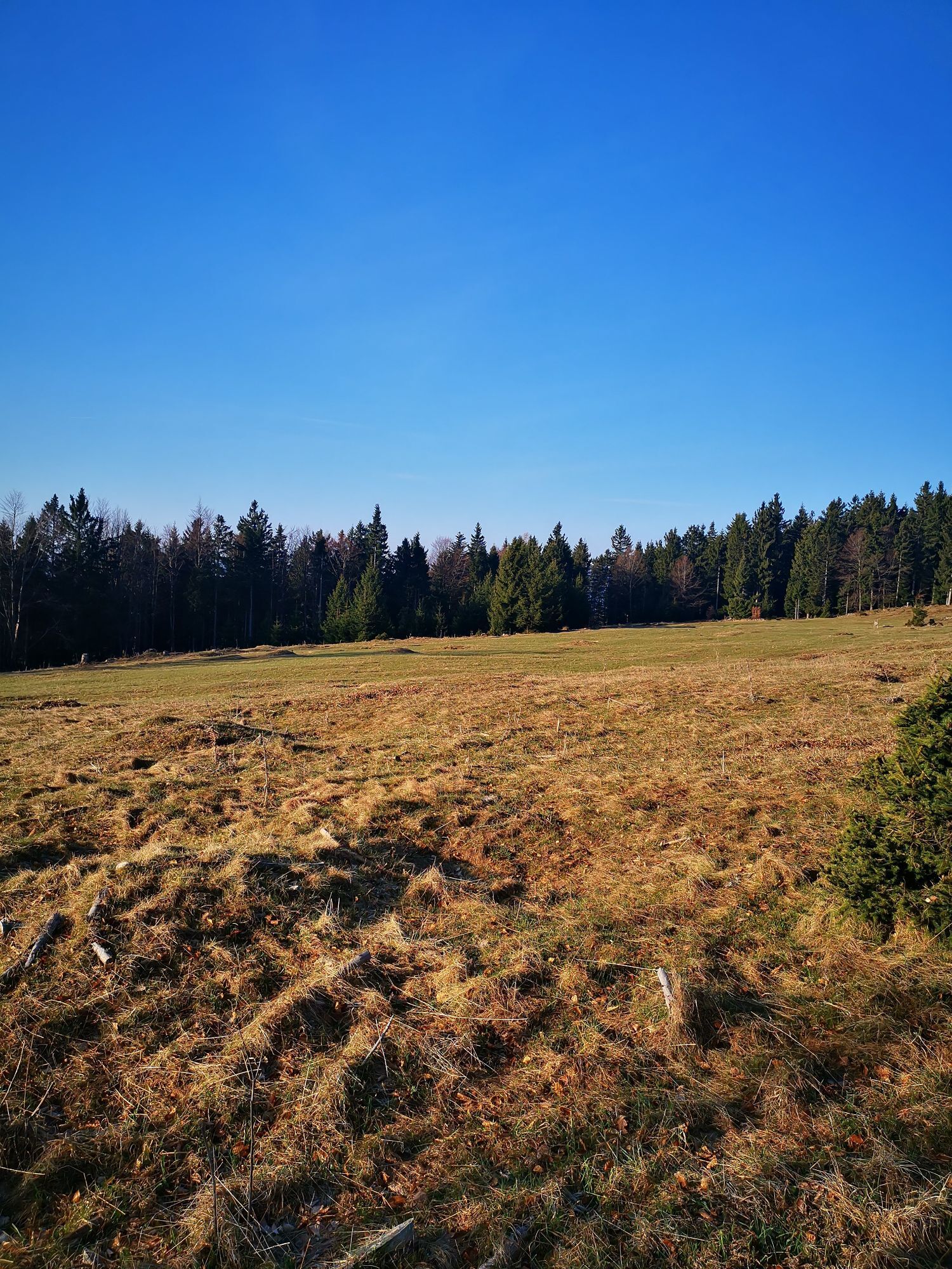
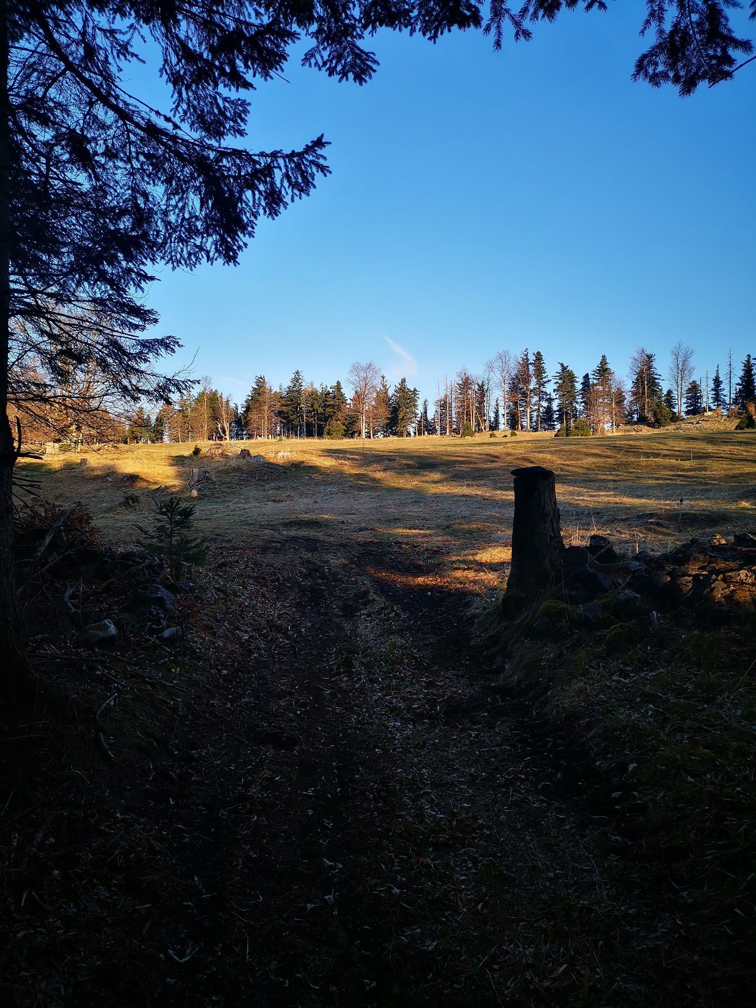
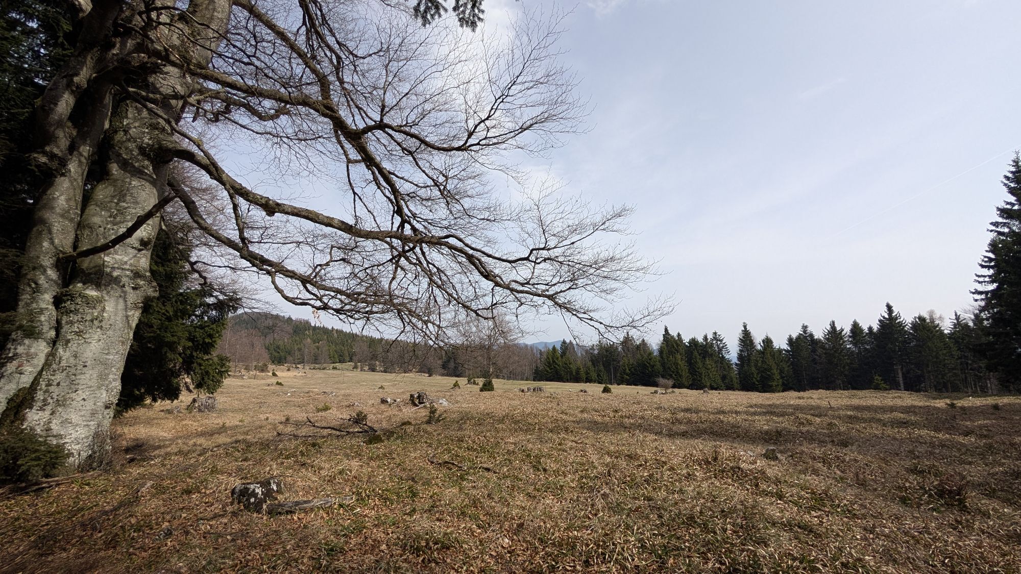
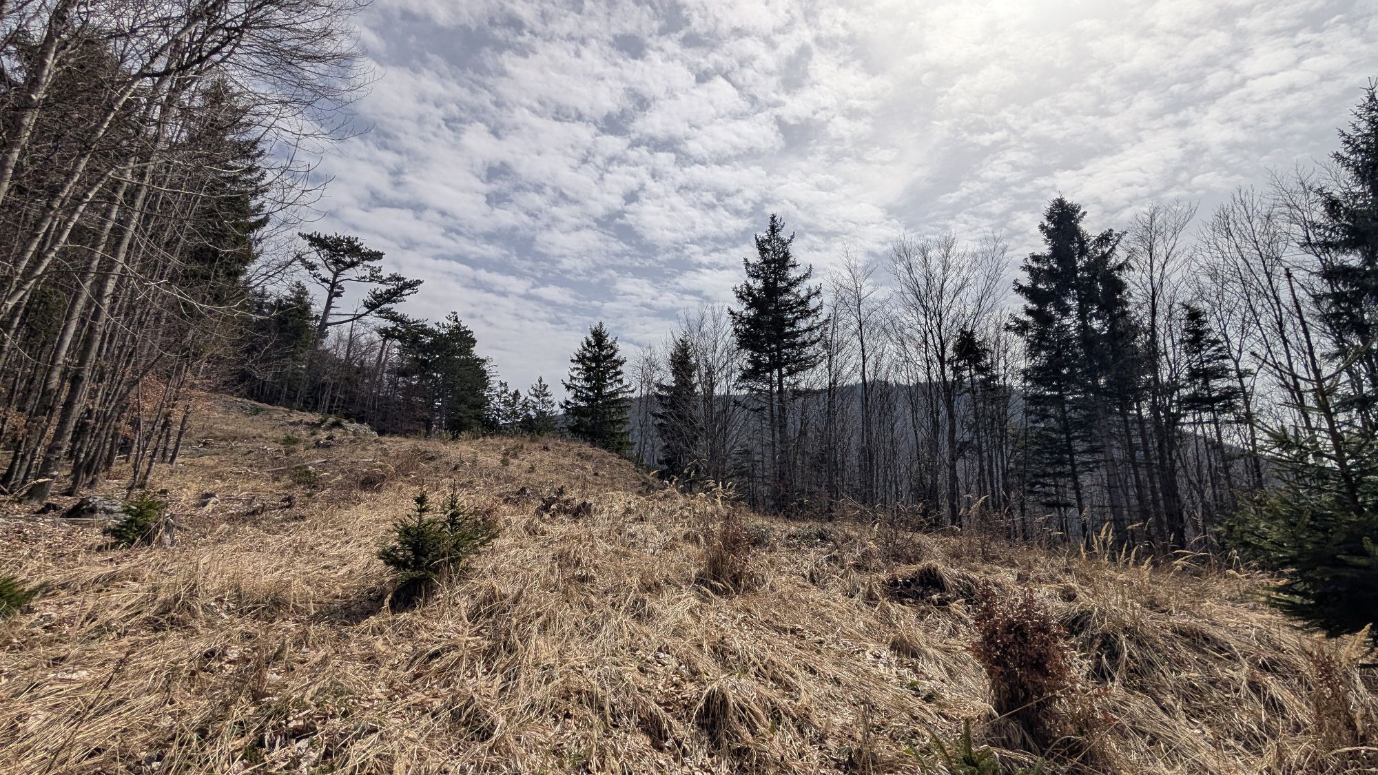
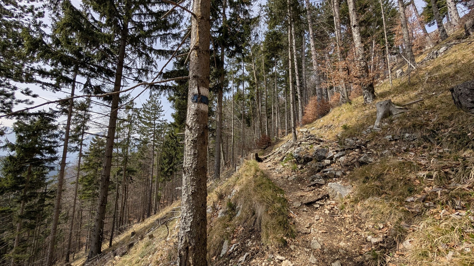
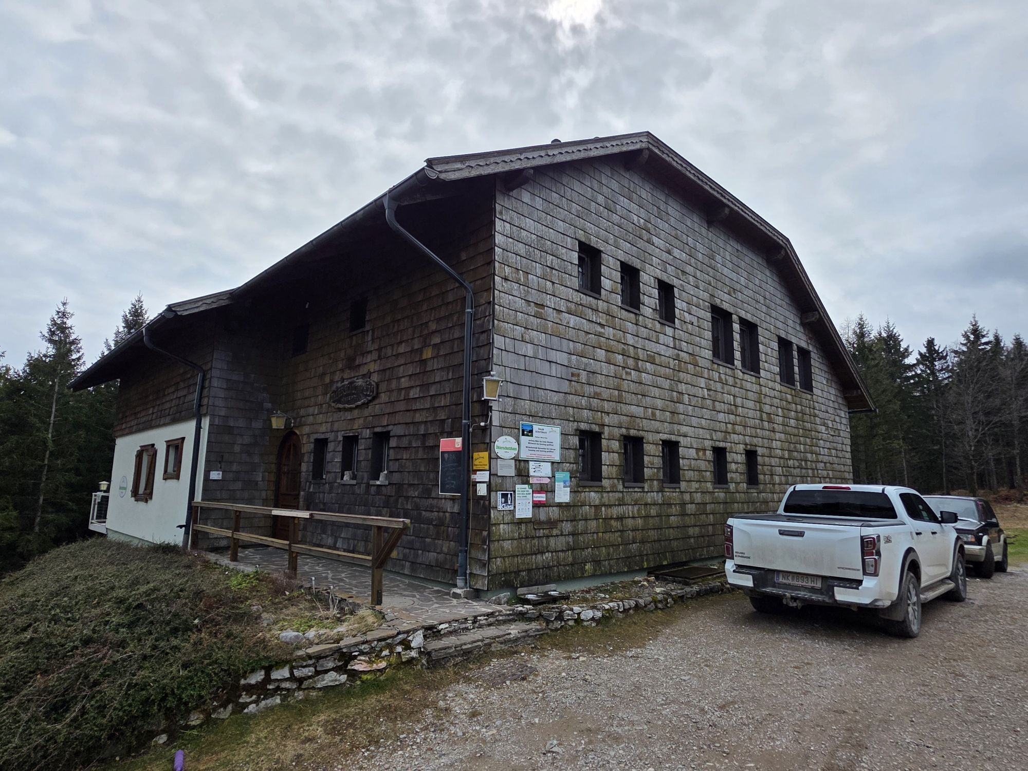
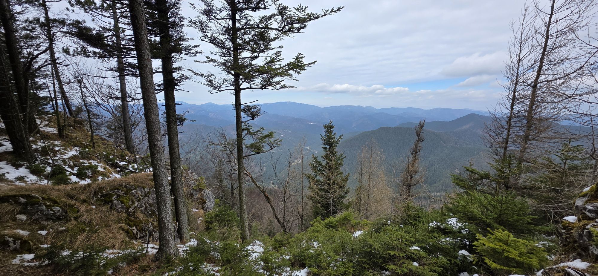
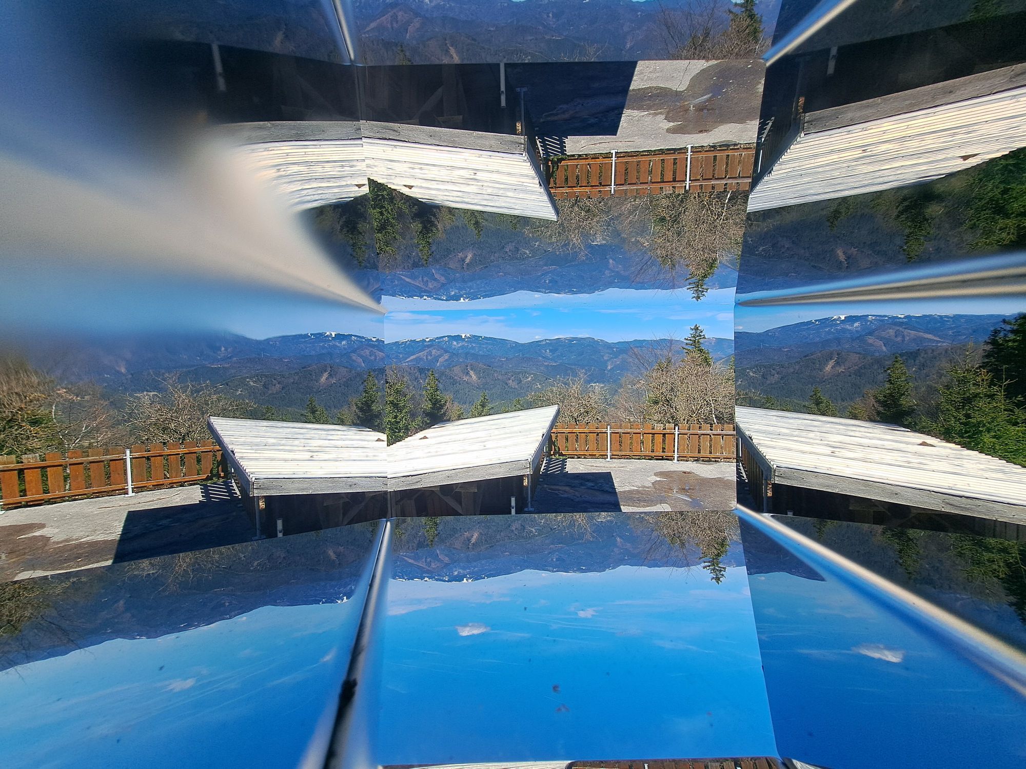
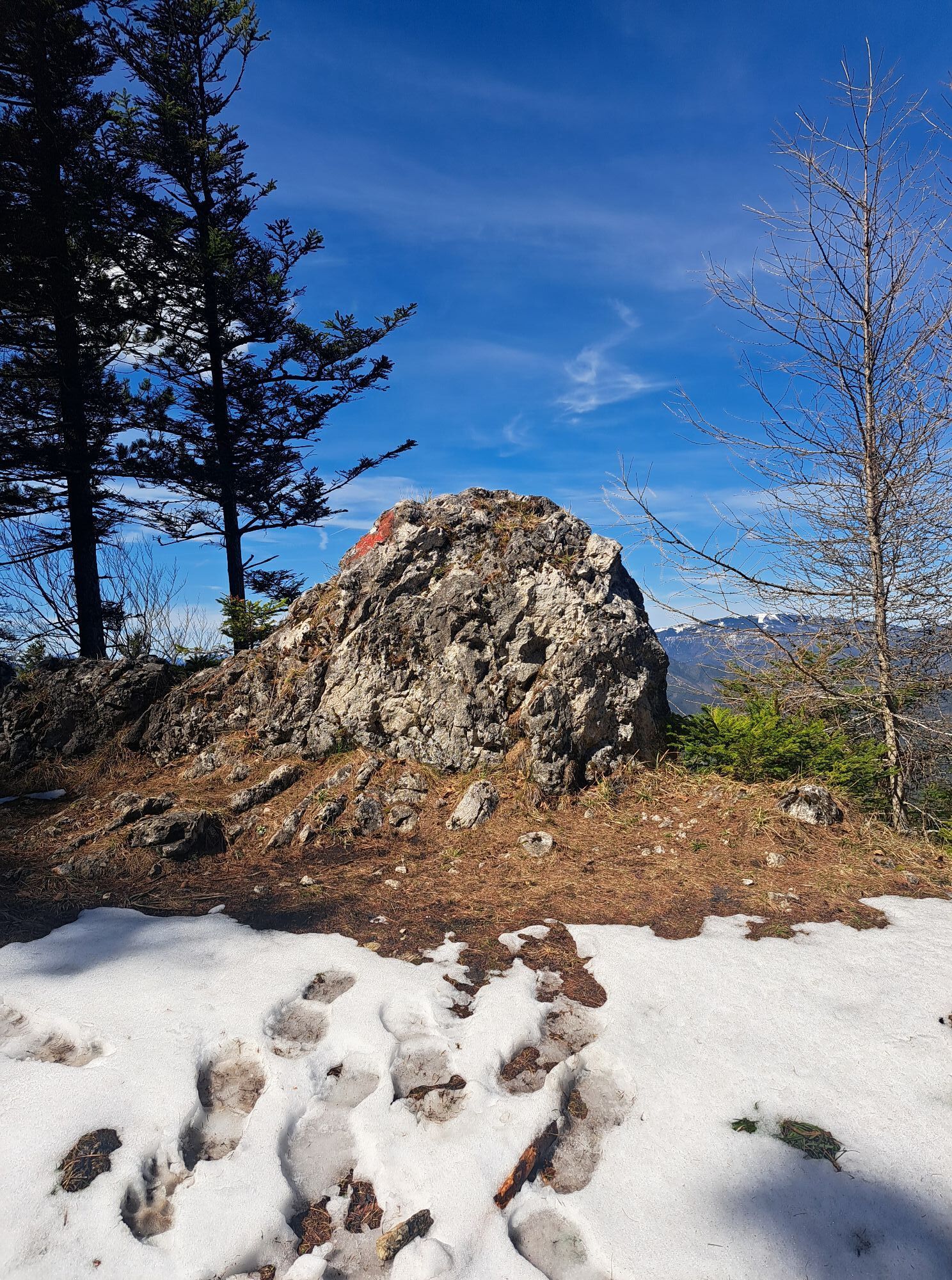
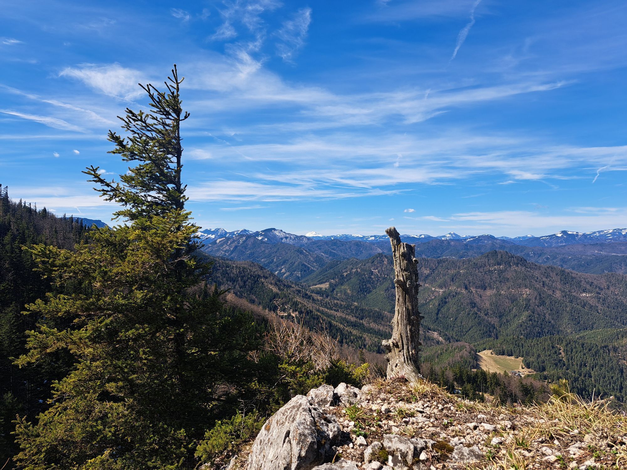
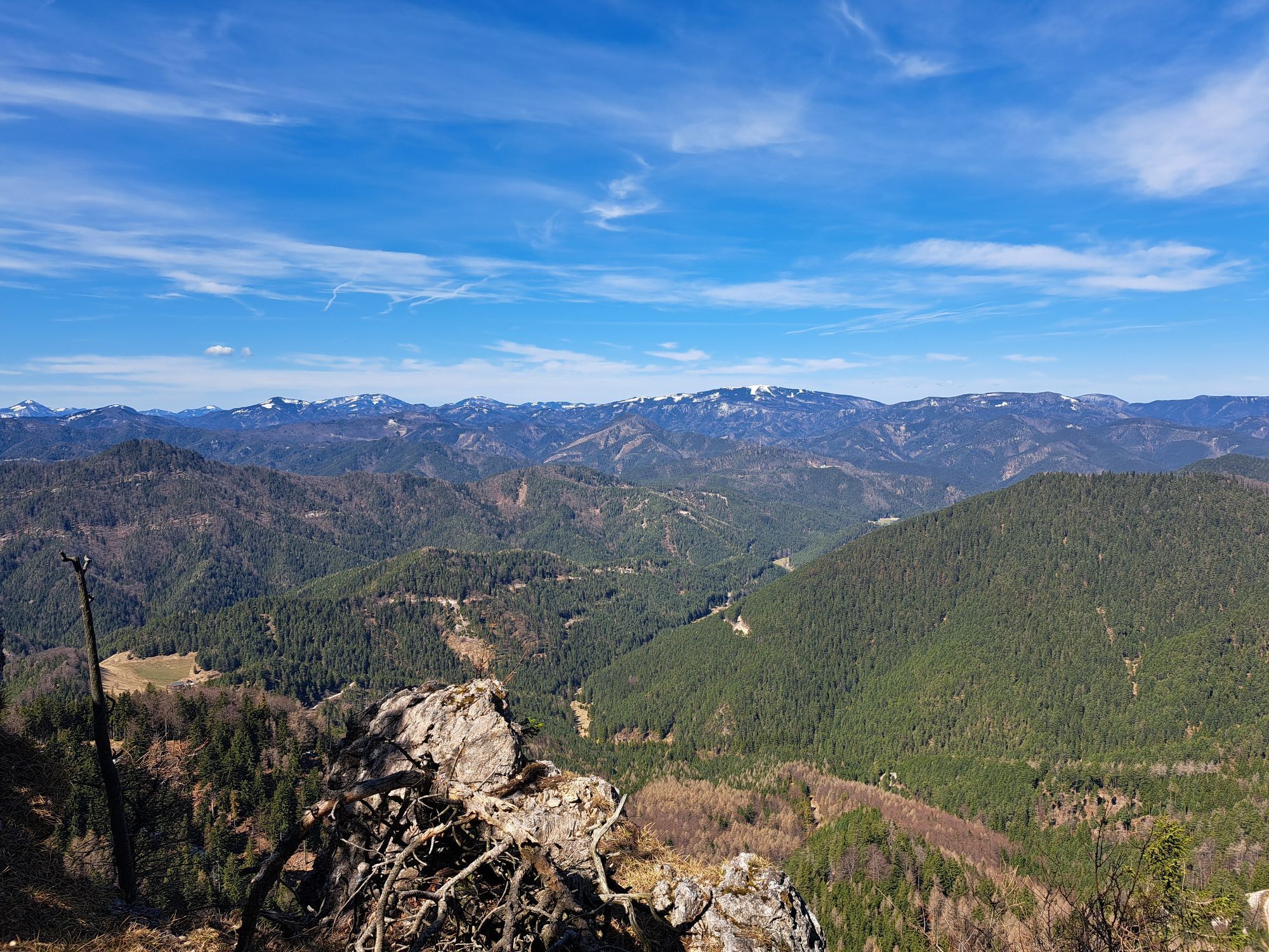
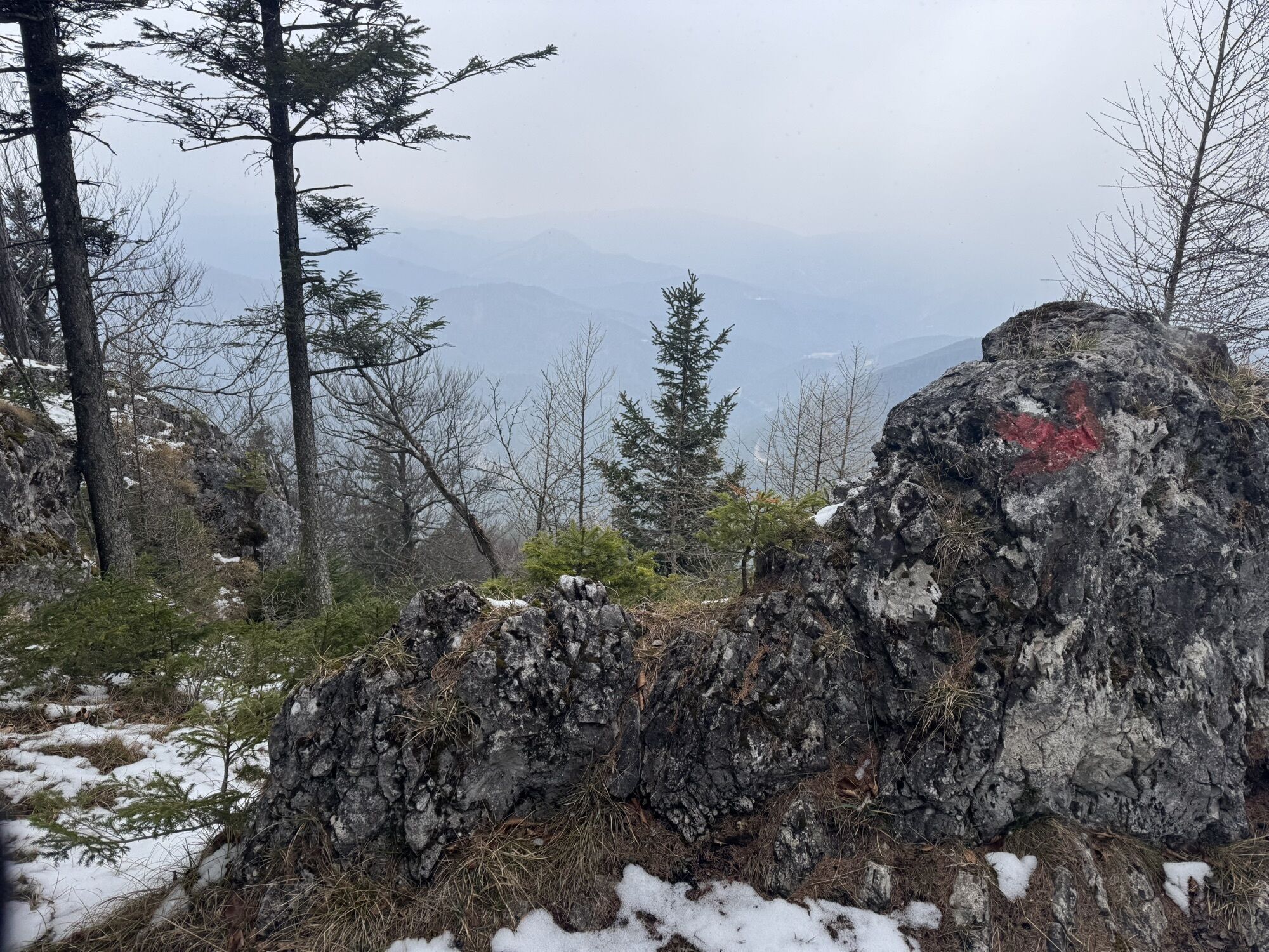
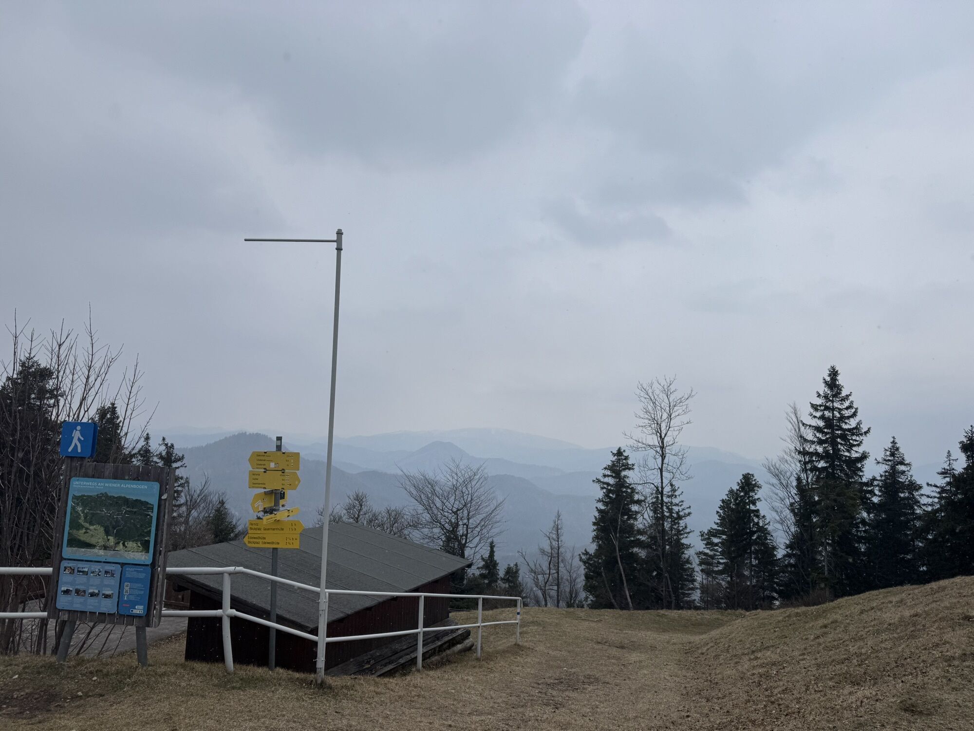
<p>The circular hike starts in Puchberg am Schneeberg, either at the train station or at the tourist office. Those staying at the <strong>Landhaus Puchbergerhof</strong> or at the Ferienhaus Haltberghof should explore this path, as it passes directly by these accommodations. Through forests and over meadows, it goes up to the Dürre Wand. The route offers numerous beautiful views, for example from the <strong>Kaisereben meadow</strong> to the Schneeberg or from the Öhlerschutzhaus to the Mariahilfberg, with the pilgrimage church. You can stop at the Öhlerschutzhaus at 1027 meters above sea level. The Öhlerschutzhaus is also located on the path of the Vienna Alpine Arc. On one stage, you can reach the Edelweiss hut on the other side towards Pernitz.</p>

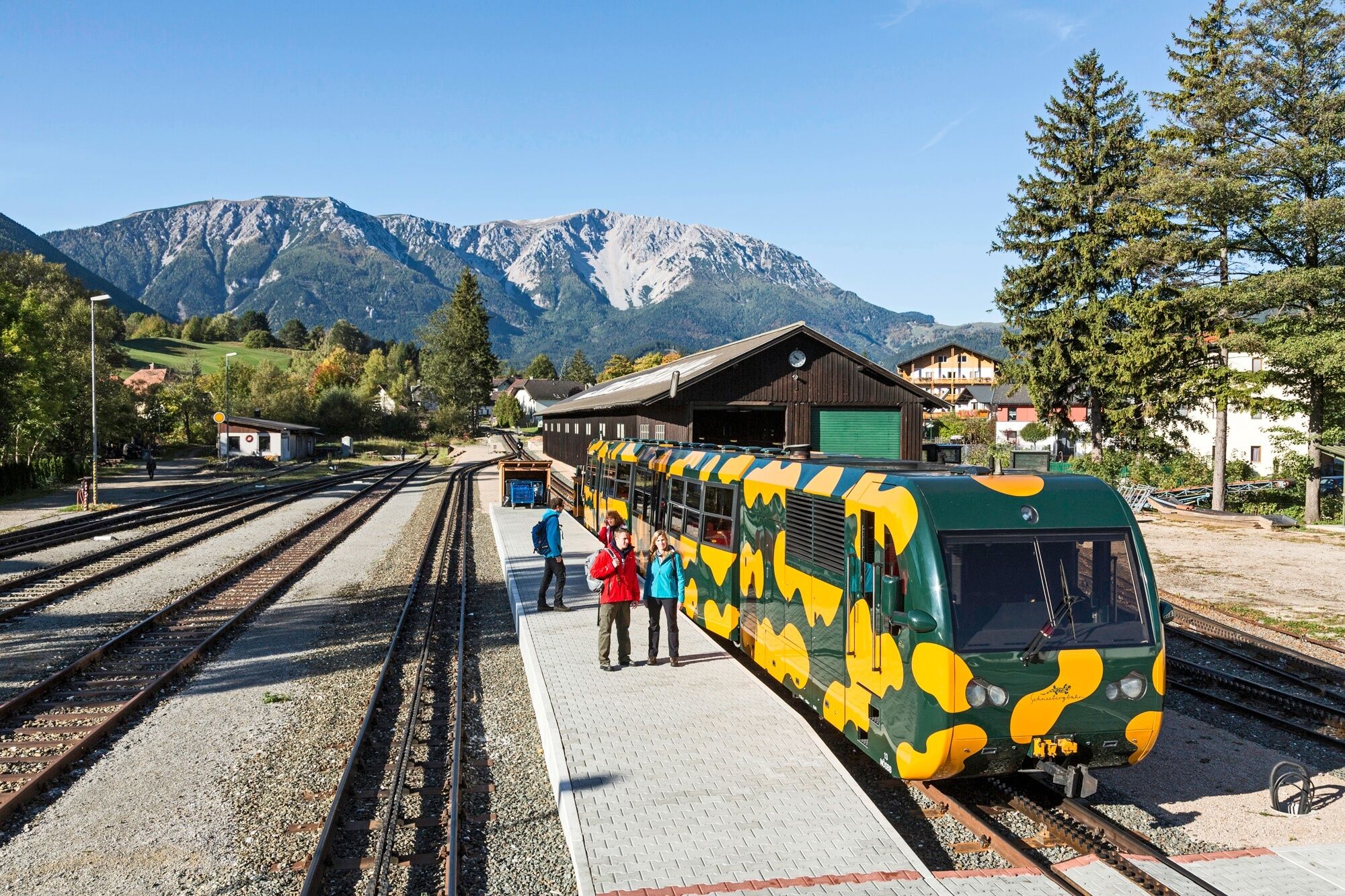
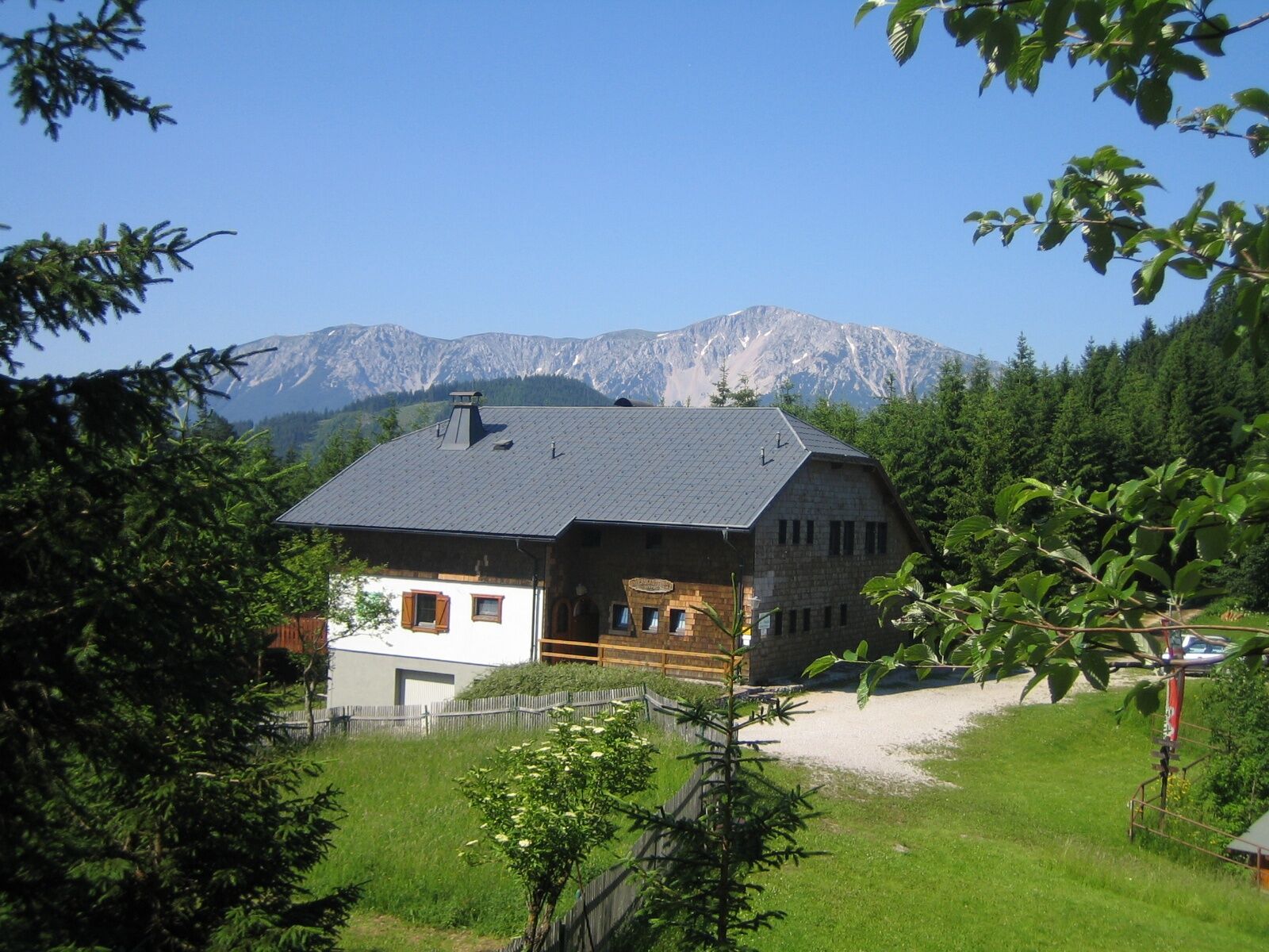
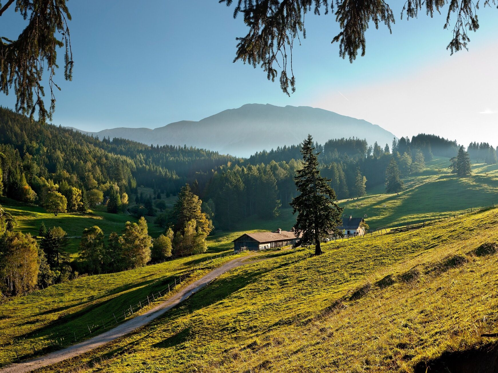
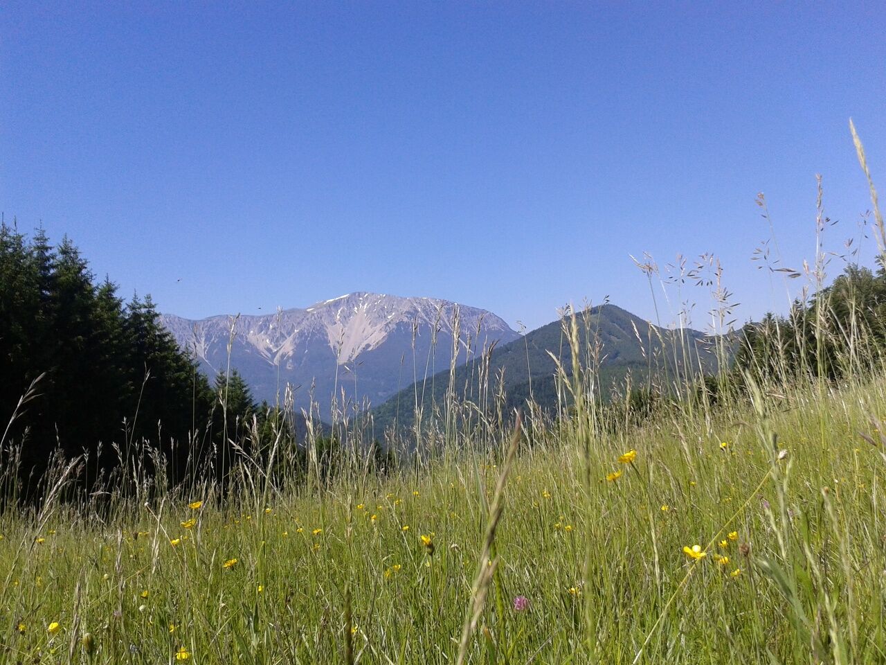

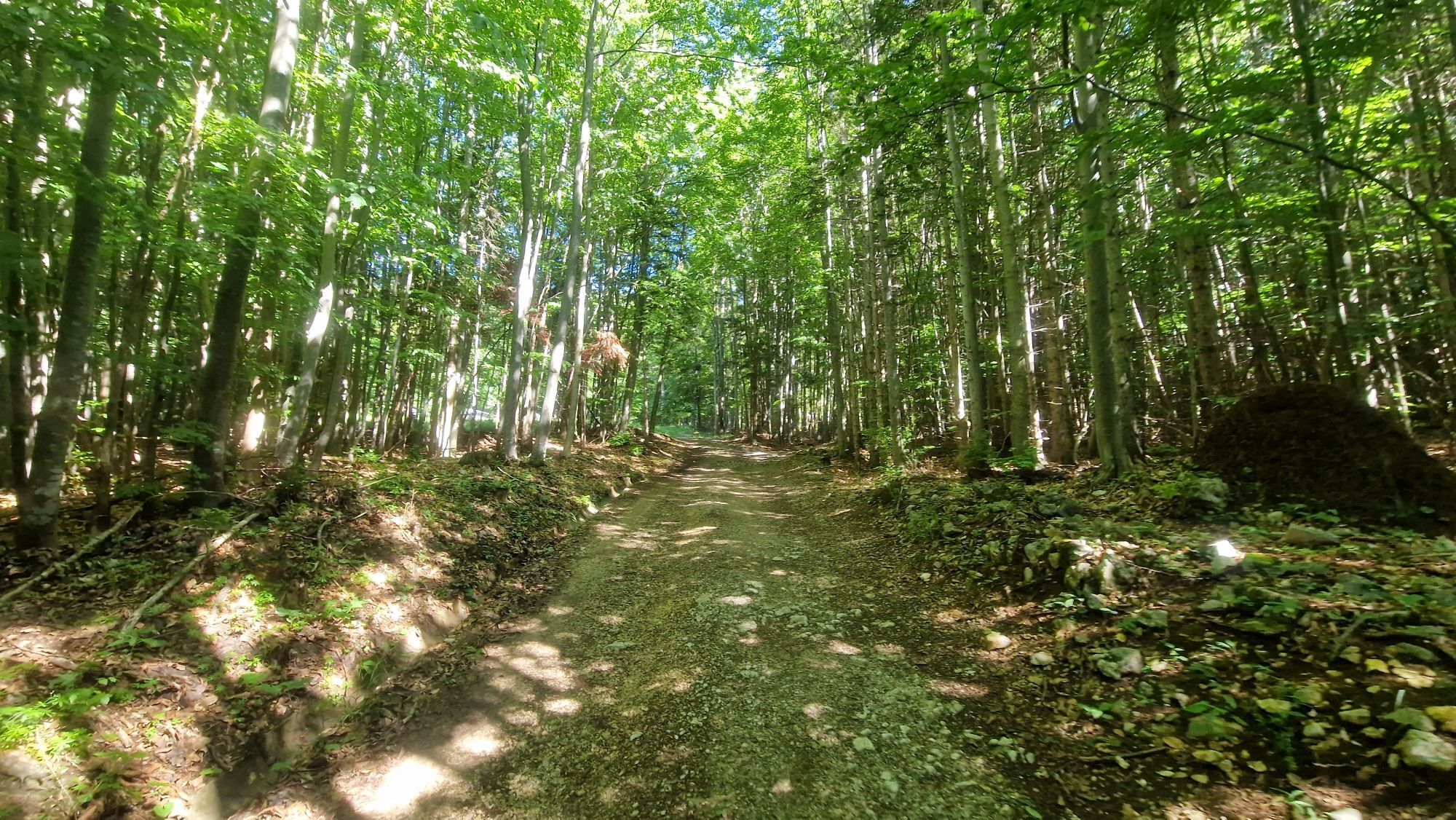
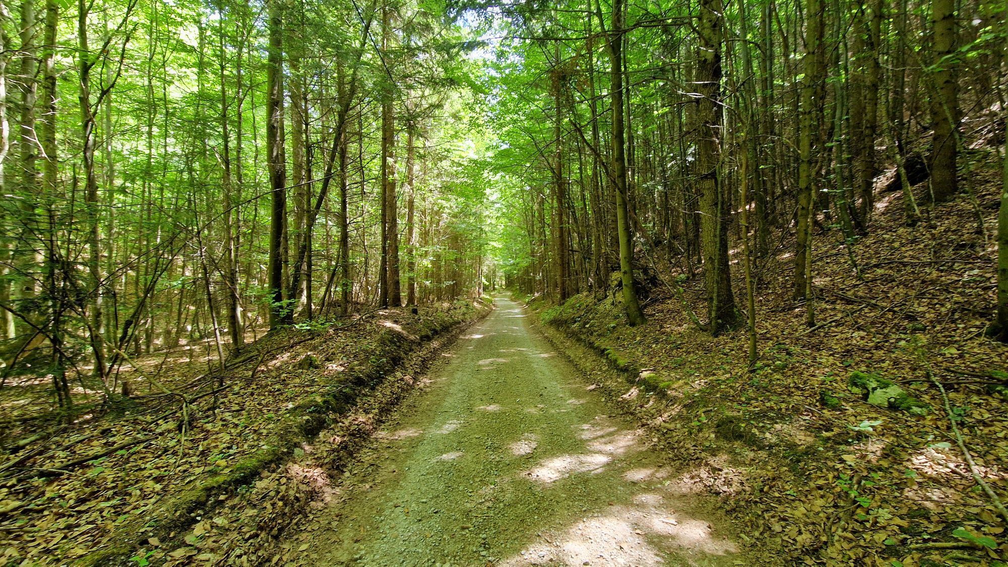
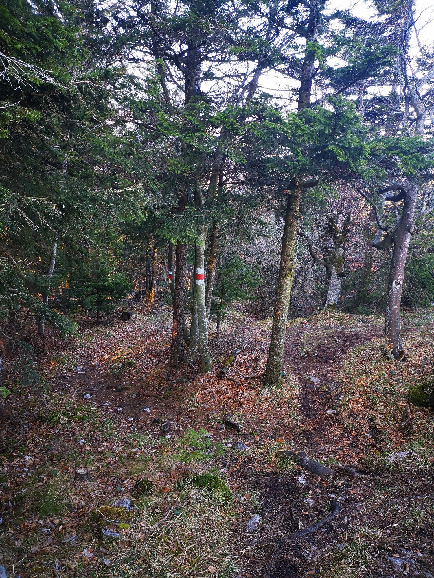
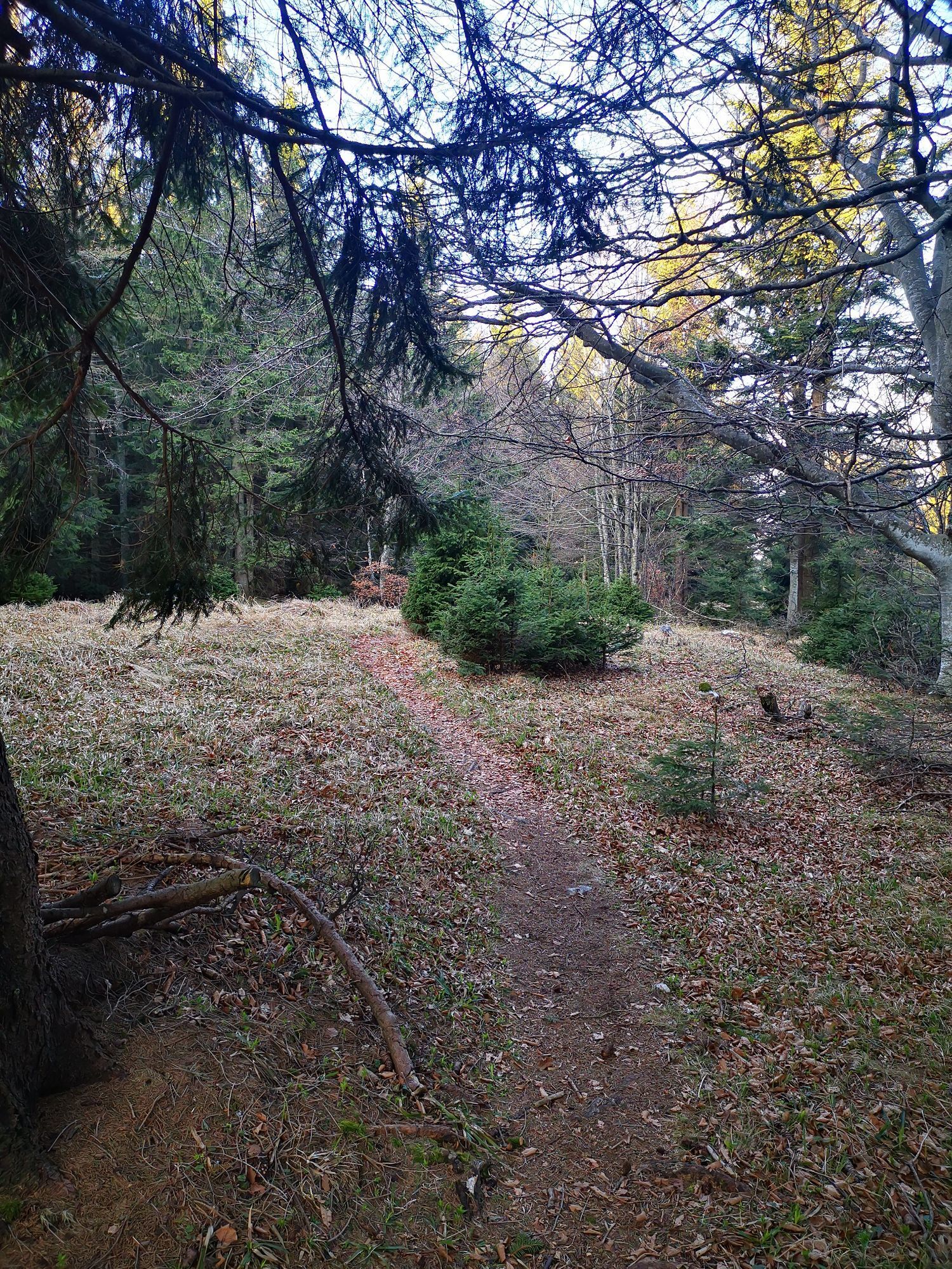
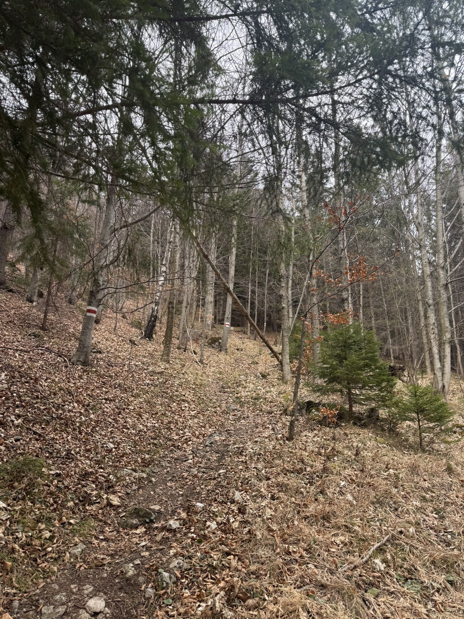
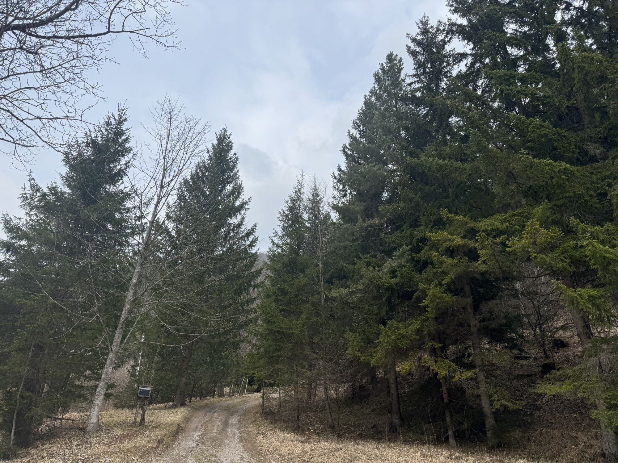
<p>From the parking lot at the tourist office or train station, we walk through the Haltberg valley, turn right after about 800 m and follow the red markings towards Ascher. After about 2.3 km, we turn left again and continue along the blue markings over the Haltberg path and then through the forest to the Kaisereben meadow. We continue along the blue markings to Blättertal and via the red markings to Dürre Wand; the path to the right leads to the Gauermann hut, we go left to the Öhlerschutzhaus. We continue over the red-marked Imitzerweg to the Schoberhof, where we turn left onto the red marking that leads us to Halberghof. From the Öhlerschutzhaus, the "old" Öhlerweg with blue markings also leads to Haltberghof. From here, we then follow the blue markings for about 2 km and arrive via Sierningstraße at the parking lot by the Spar market in Puchberg and back to the starting point.</p>
<p>Always bring suitable <strong>maps</strong>. Wear sturdy <strong>shoes</strong> adapted to the route (hiking boots or trekking shoes), bring sun and rain protection, as well as water and a snack. Take your <strong>mobile phone</strong> with you and save the mountain rescue emergency number: 140</p>
<p>Your hikes in the Vienna Alps should be a completely beautiful and safe experience. Therefore, please observe the following:</p><p><strong>Preparation</strong></p><p>Make sure, when choosing your route, that it matches your experience and your <strong>fitness</strong>. Inform yourself beforehand about the <strong>weather forecast</strong>. The weather in the mountains can change surprisingly quickly. Therefore, always start out equipped accordingly (e.g., rain protection).</p><p>Check whether the <strong>huts and snack stations</strong> you want to visit along the way are open. <strong>Inform</strong> someone about your choice of route and your planned return before you start.</p>
<p>From Vienna or Graz take the South Motorway A2 to exit Wr. Neustadt West and B26 to Puchberg am Schneeberg.</p>
<p>Take the train from Vienna or Graz to Wiener Neustadt. From there, take the regional train towards Puchberg am Schneeberg to the last stop.</p><p>Direct excursion train on weekends: Departure at 8:41 am from Vienna Central Station, return at 4:36 pm from Puchberg station.</p><p>Buses also run from Neunkirchen, Ternitz (line 350), and Pernitz (line 330) to Puchberg.</p><p>Further information at <a href="www.oebb.at">www.oebb.at</... or <a href="www.vor.at">www.vor.at</a&...
<p>Parking options see parking guidance system and at the tourist office.</p><p>Attention: short-term parking zone in the town center</p>
Öhlerschutzhaus, www.huettenguide.net/huetten/oehler-schutzhaus , +43 / 2636 / 3225
Tourism Association Schneebergland, +43 / 02636 / 22 56-11
Vienna Alps in Lower Austria, www.wieneralpen.at, +43 / 2622 / 78960
Tourist Office Puchberg am Schneeberg, www.puchberg.at, +43 / 2636 / 2256
Combine your hike with a stay in Puchberg. For example, at the hiking establishments Hotel Restaurant Forellenhof, at the Pension Bruckerhof, or in comfort rooms at the Hotel Schneeberghof.
Webové kamery z prehliadky
Získajte prehľad
Vždy naživo na mieste s viac ako 9 500 webovými kamerami. bergfex Ako používateľ Pro si teraz môžete pozrieť príslušné webové kamery pre mnohé zájazdy v aplikácii zájazdy z. Môžete si tak priamo prezerať aktuálne podmienky.
Aktivity počas prehliadky

Obľúbené výlety v okolí
-
4,7
Losenheim: Edelweißhütte - Fadensteig - Fischerhütte
strednáTuristika 11,5 km -
4,7
Zahnradbahn und Wandern am Schneeberg - Plateauwanderung
strednáTuristika 6,90 km -
4,8
Cultural walk Payerbach-Reichenau
svetloTuristika 7,43 km -
5,0
"Weichtalklamm" über Stock und Stein durch das Höllental - Weichtalhaus - Kientallerhütte 1340m
strednáTuristika 14,0 km -
5,0
Insider tip: Schneeberg via the Novembergrat
ťažkéTuristika 13,5 km -
4,9
"Über den höchsten Nieder-Ösi" - Schneeberg - Weichtalklamm - Klosterwappen - Stadlwandleiten
strednáTuristika 17,7 km -
4,9
SCHNEEBERG Losenheim Nandlgrat Klosterwappen Fadenweg 28.09.2017
ťažkéTuristika 15 km -
4,9
Flatzer Wand Wanderung
svetloTuristika 5,62 km -
4,8
ÖTK Klettersteig (vormals HTL Klettersteig) und Blutspur (D/E)
ťažkéVia ferrata 1,41 km -
4,8
Schneeberggebiet: Ein Stückchen am Wasserleitungsweg im Höllental
svetloTuristika 2,64 km
Turistika a stopovanie


Nenechajte si ujsť ponuky a inšpiráciu na ďalšiu dovolenku
Vaša e-mailová adresa bol pridaný do poštového zoznamu.





