






Kirchschlag day route D6+D5 to Hutwisch
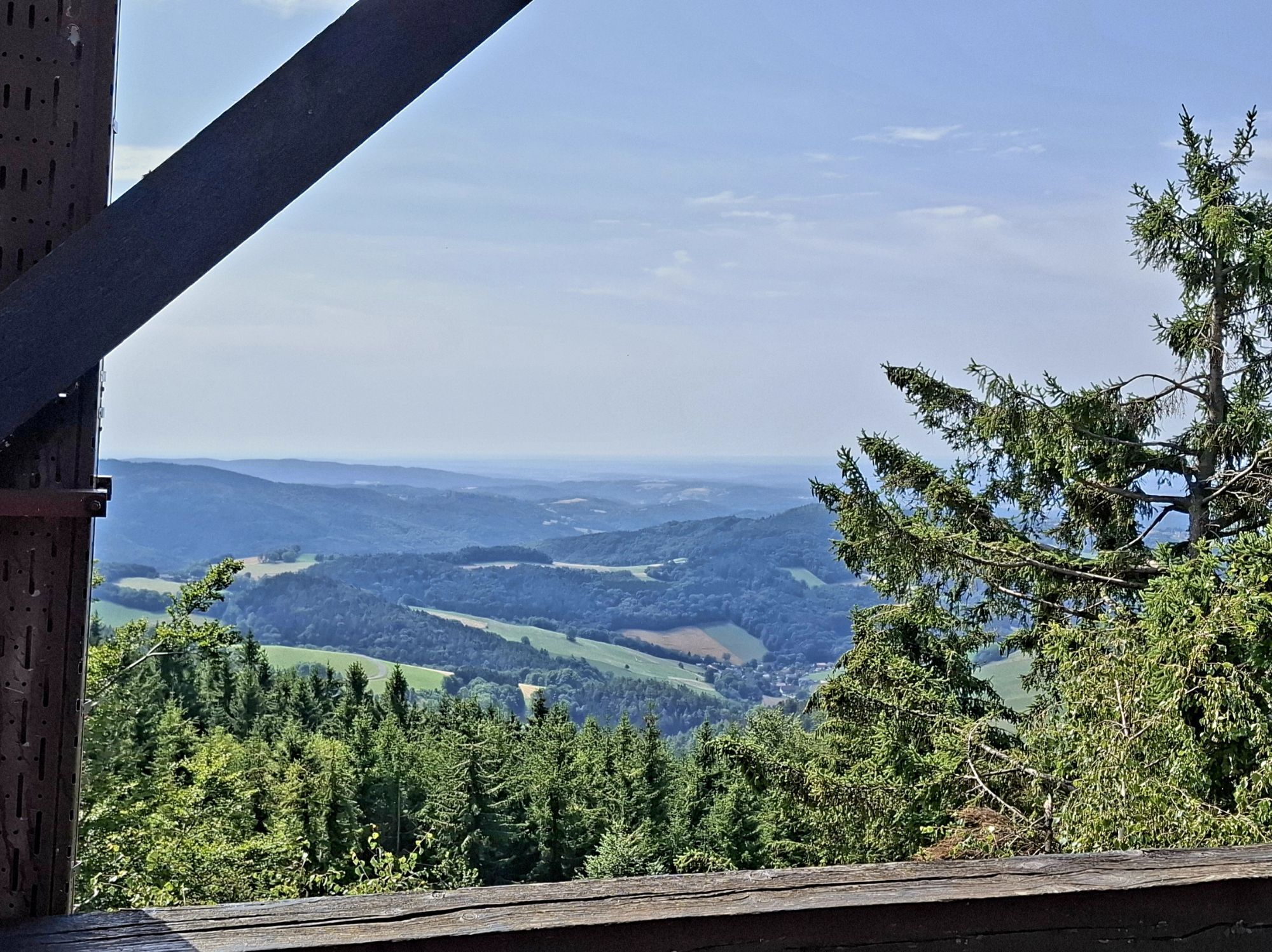
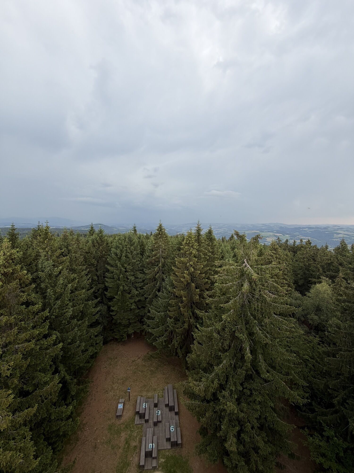
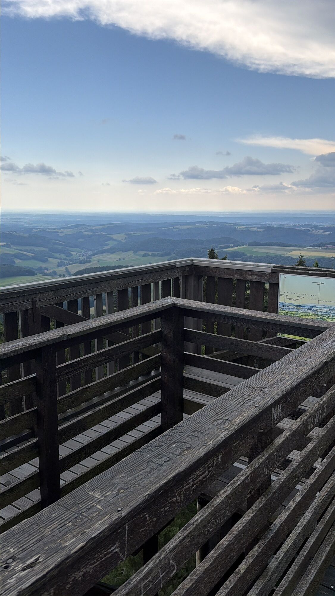
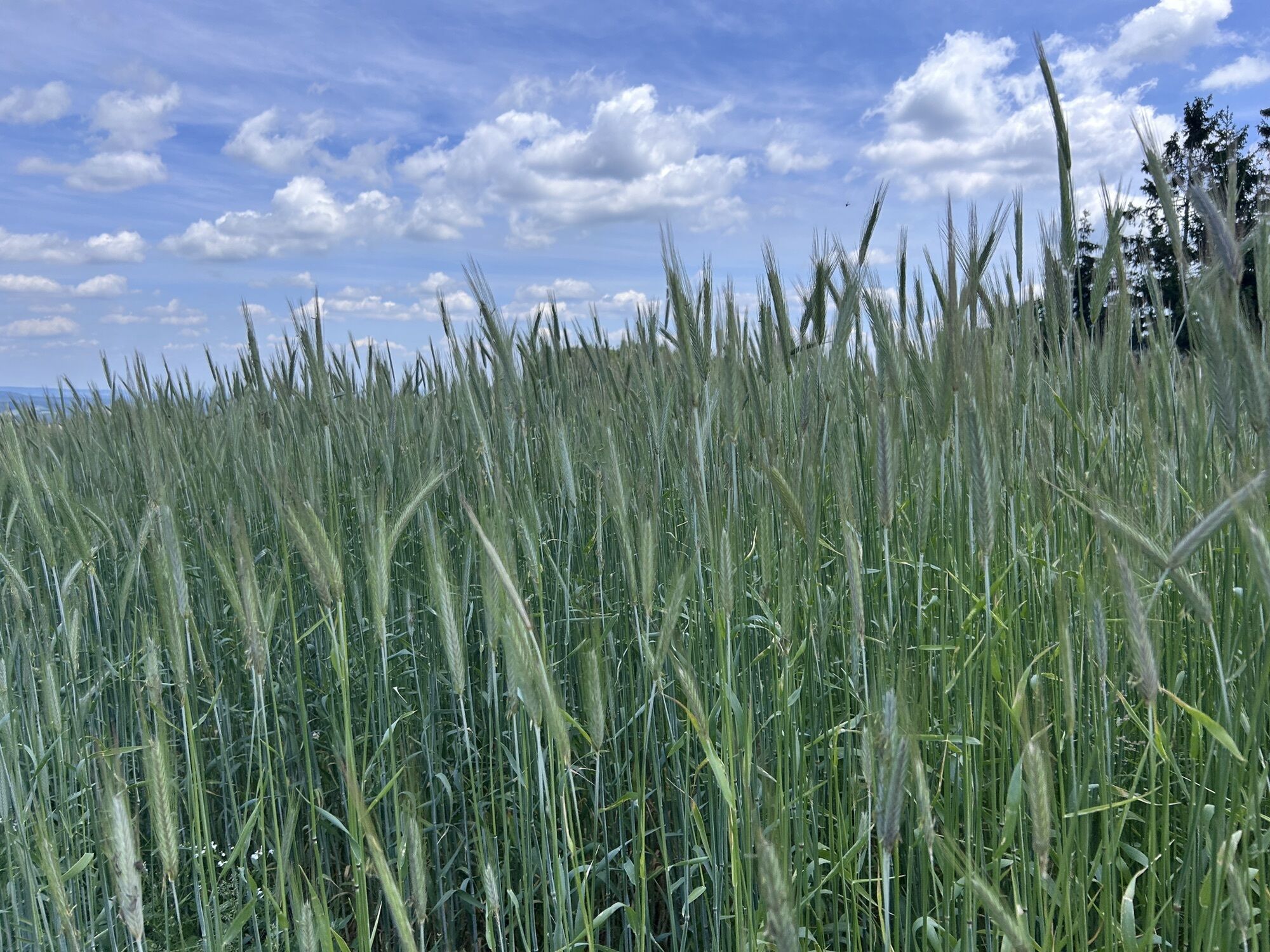
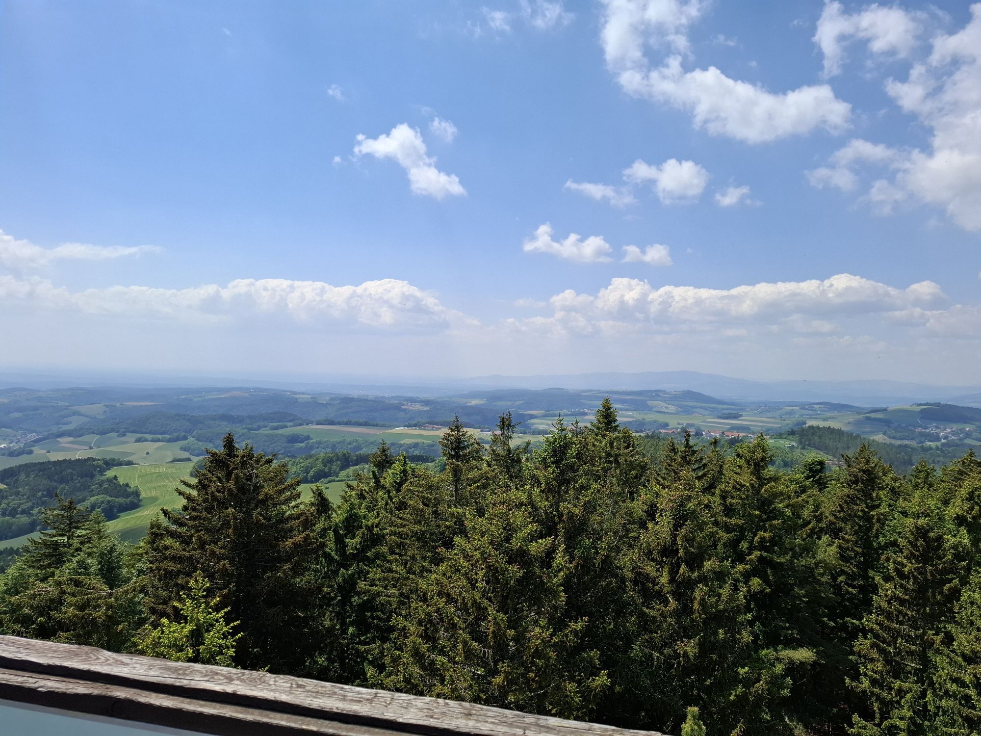
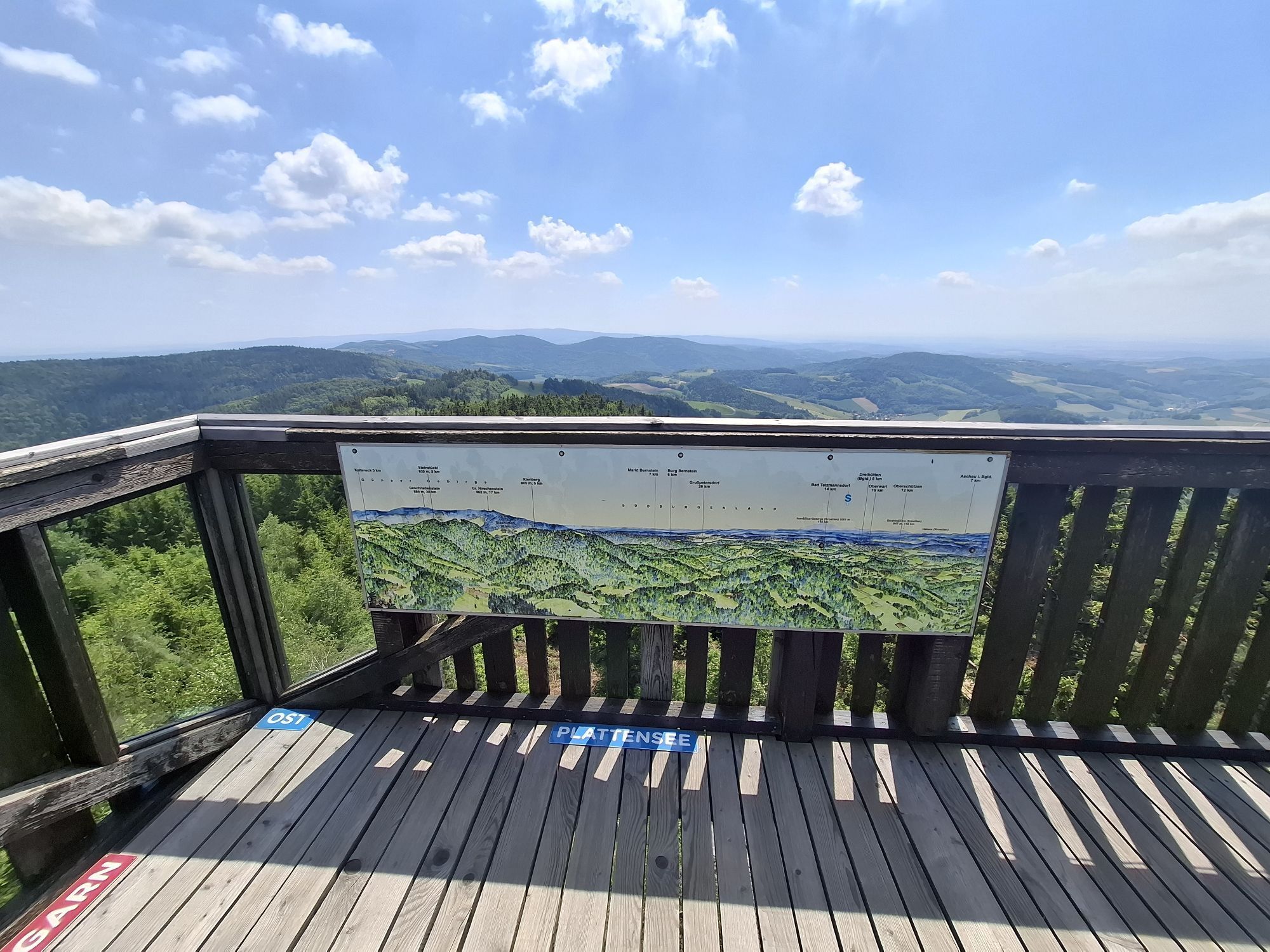
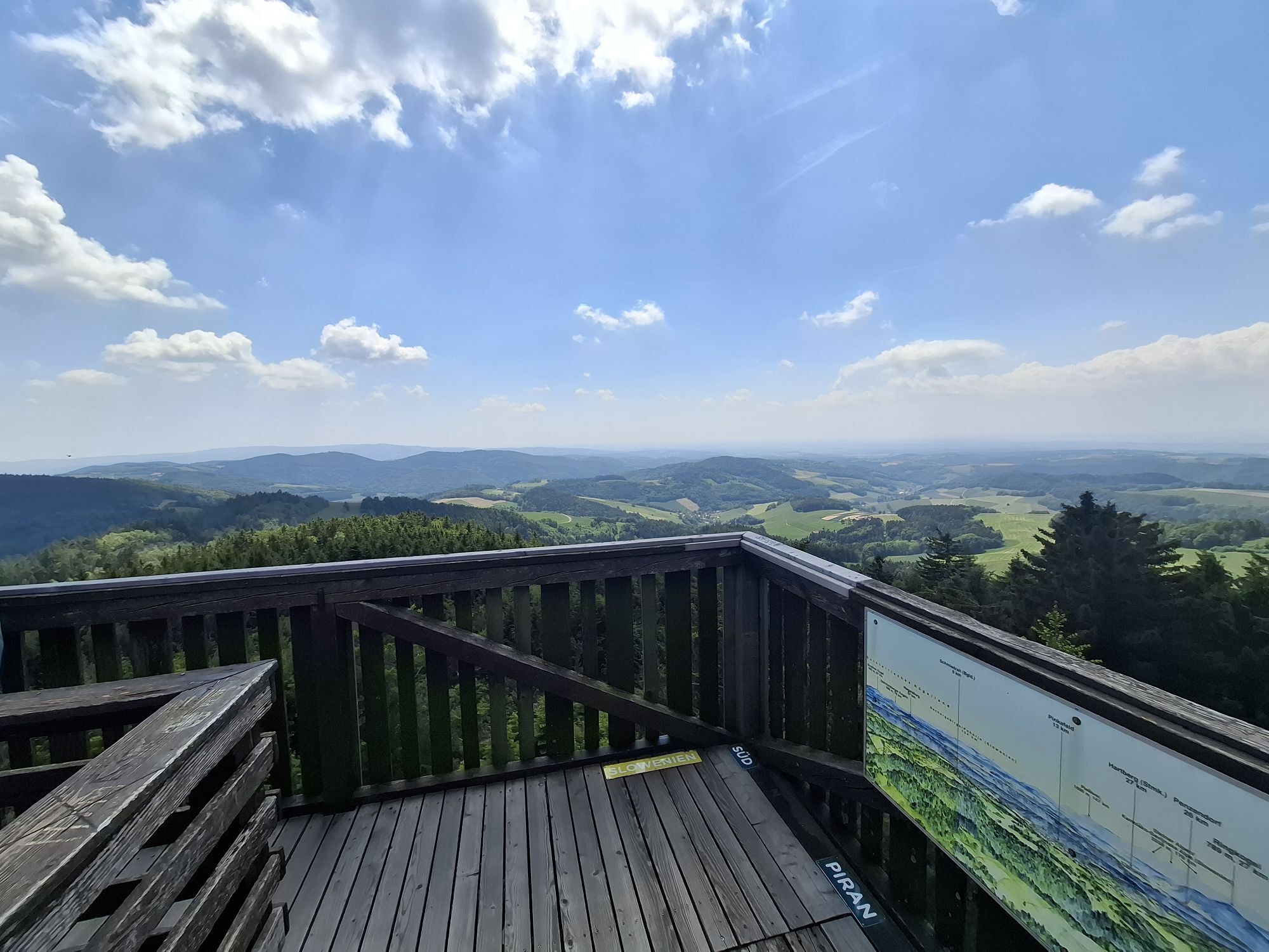
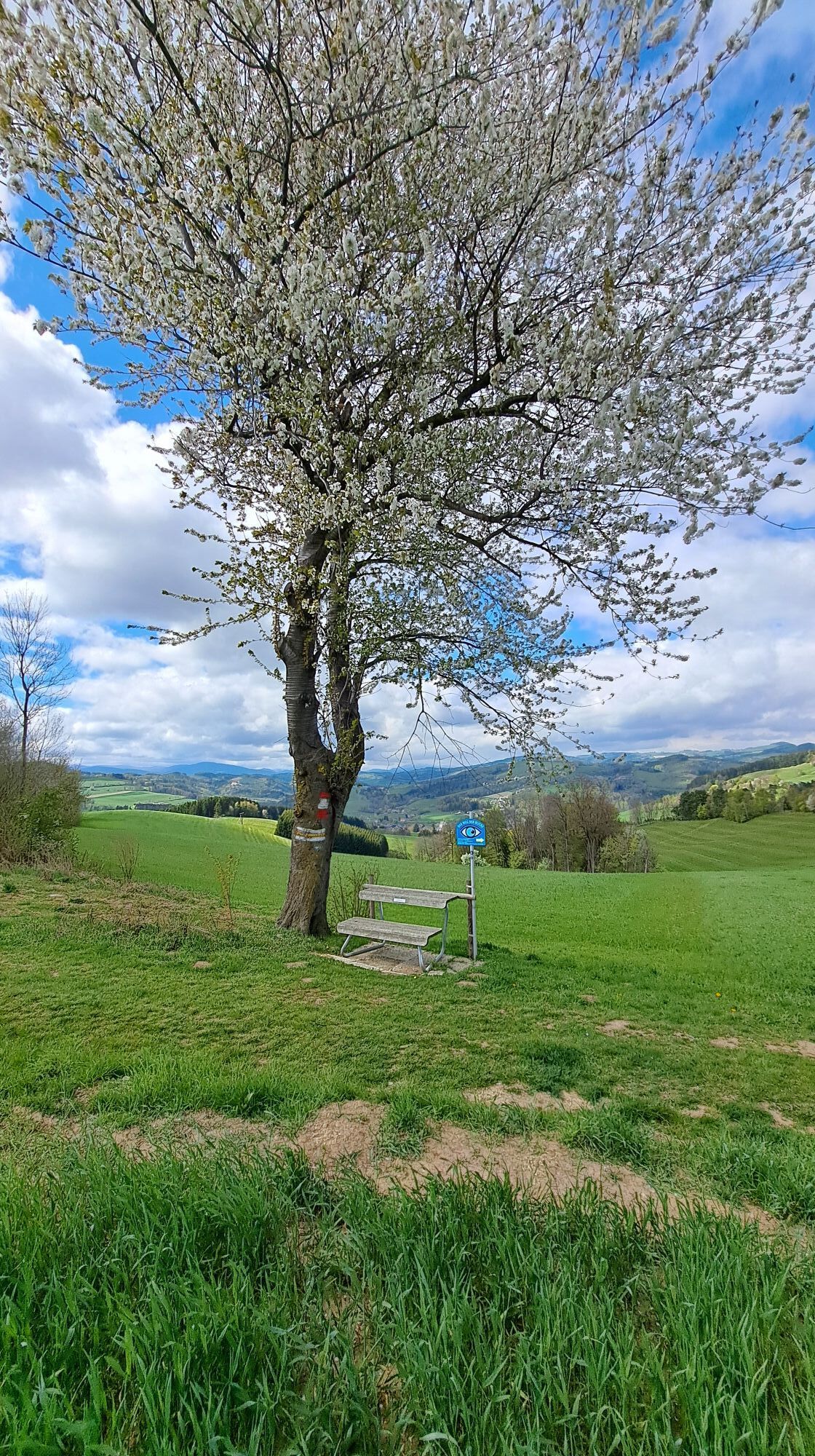
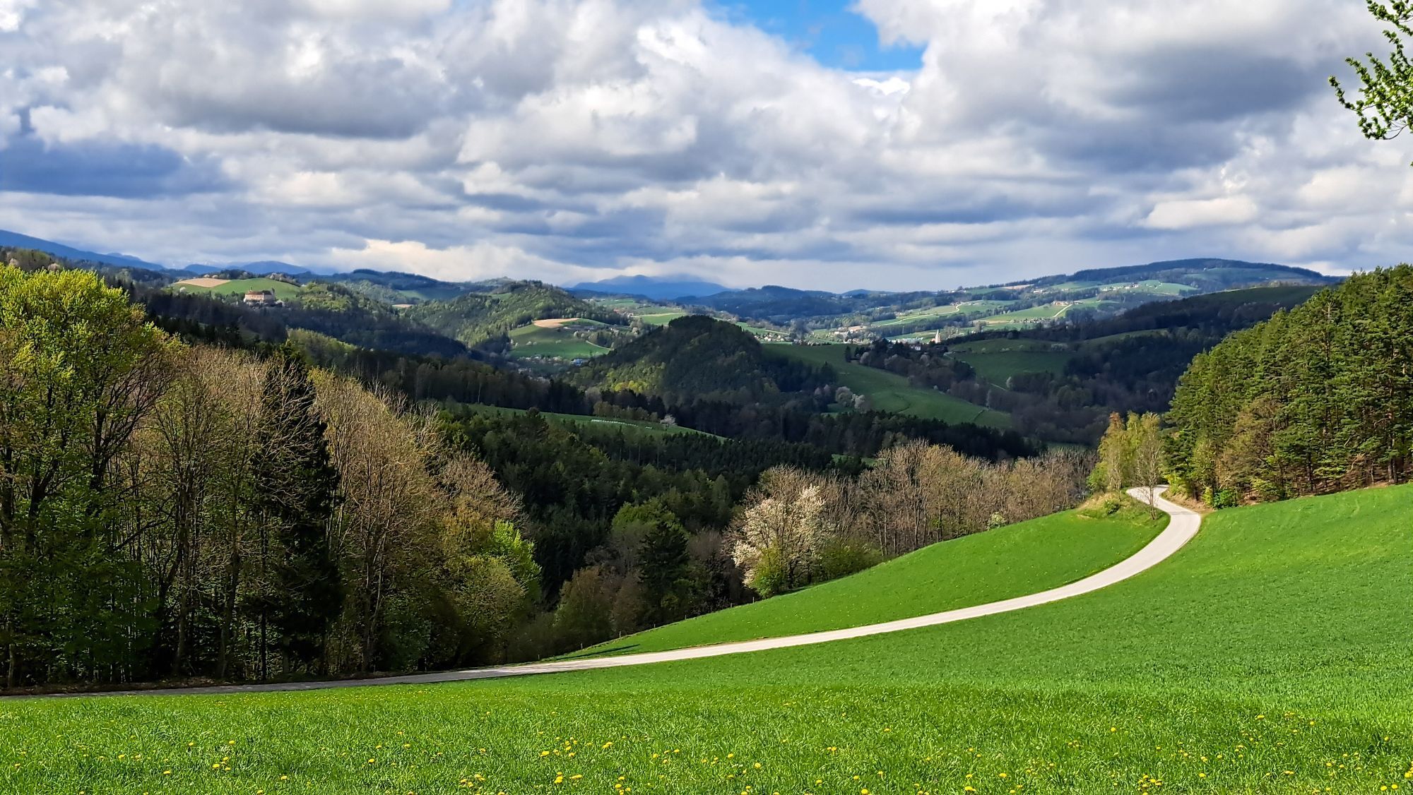
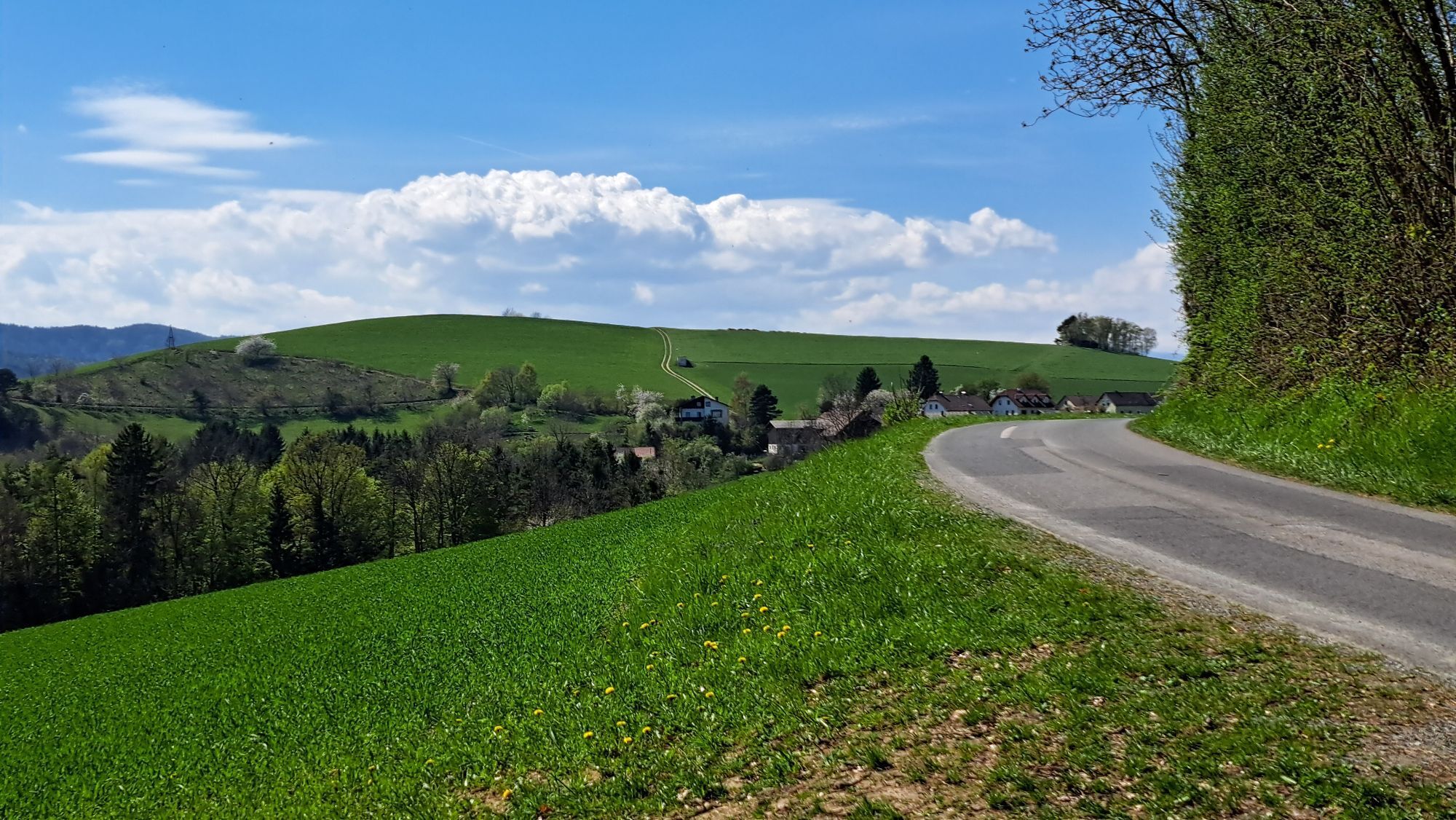
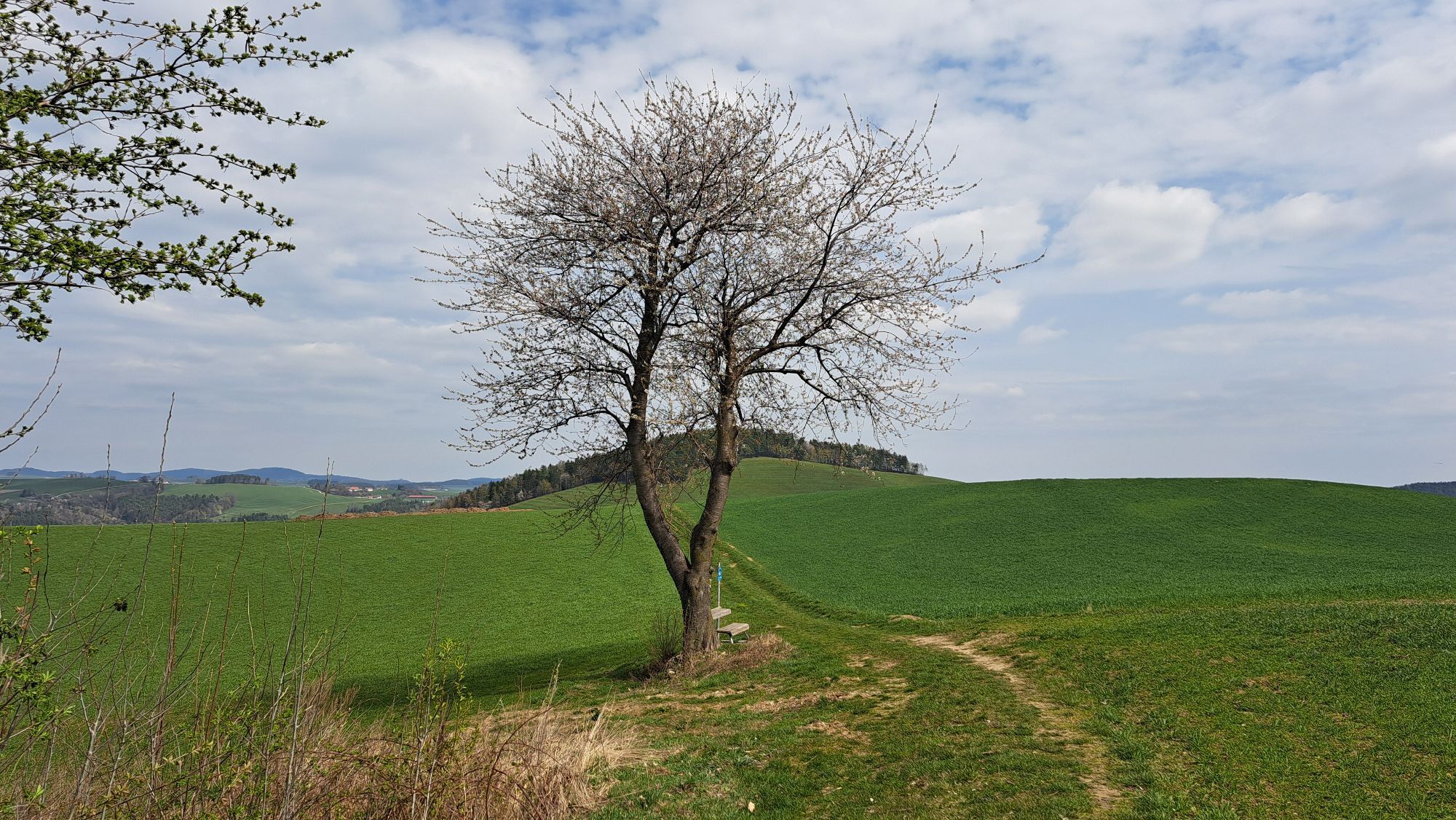
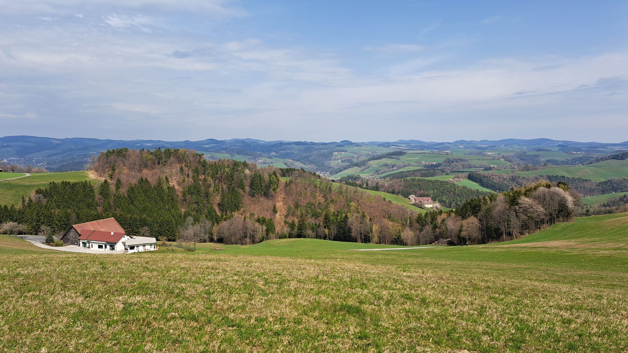
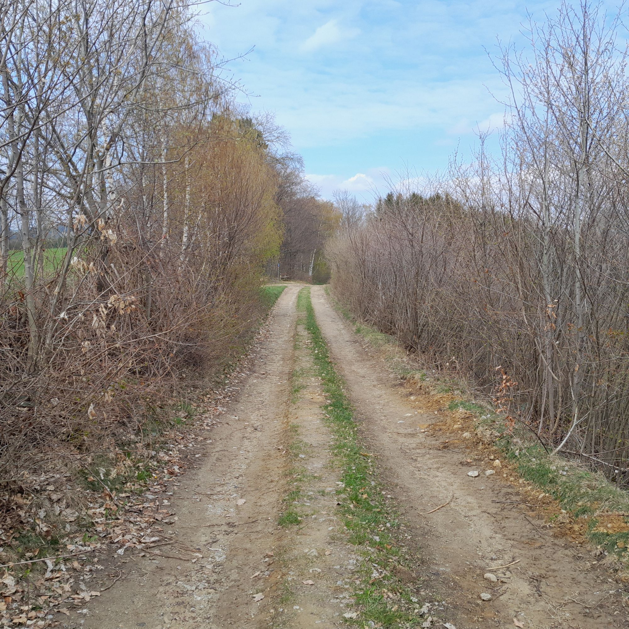
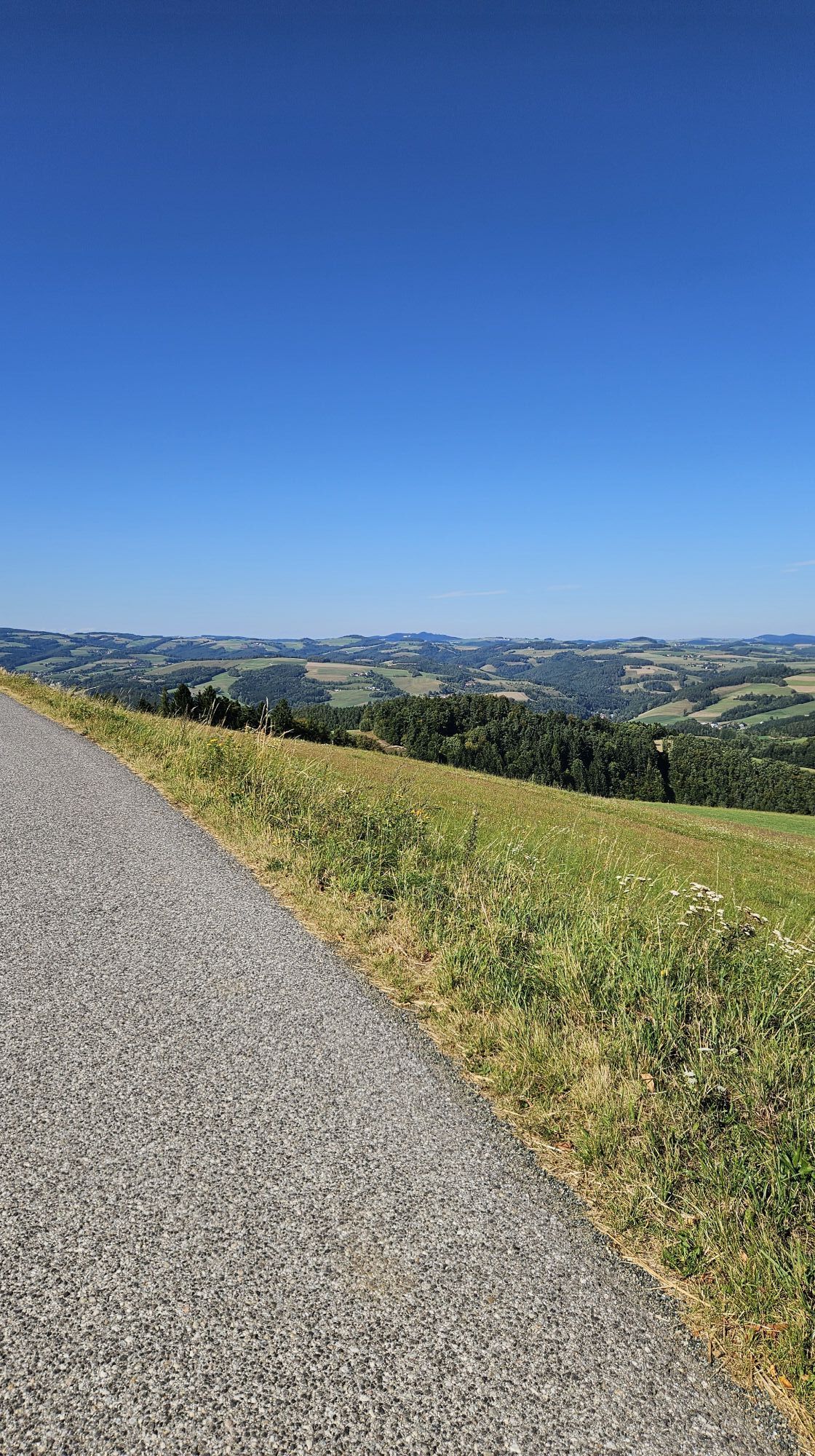
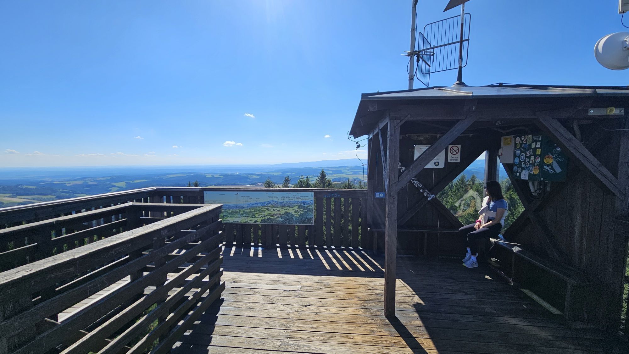
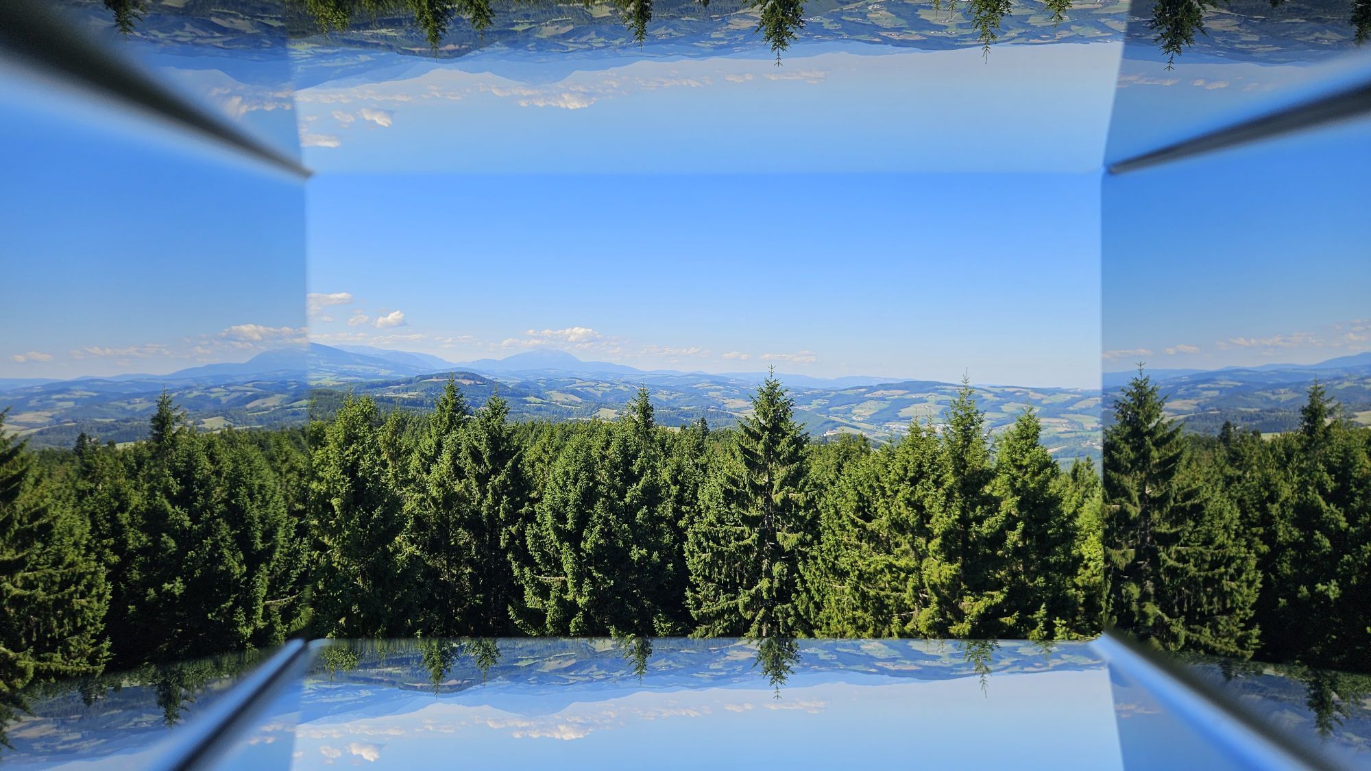
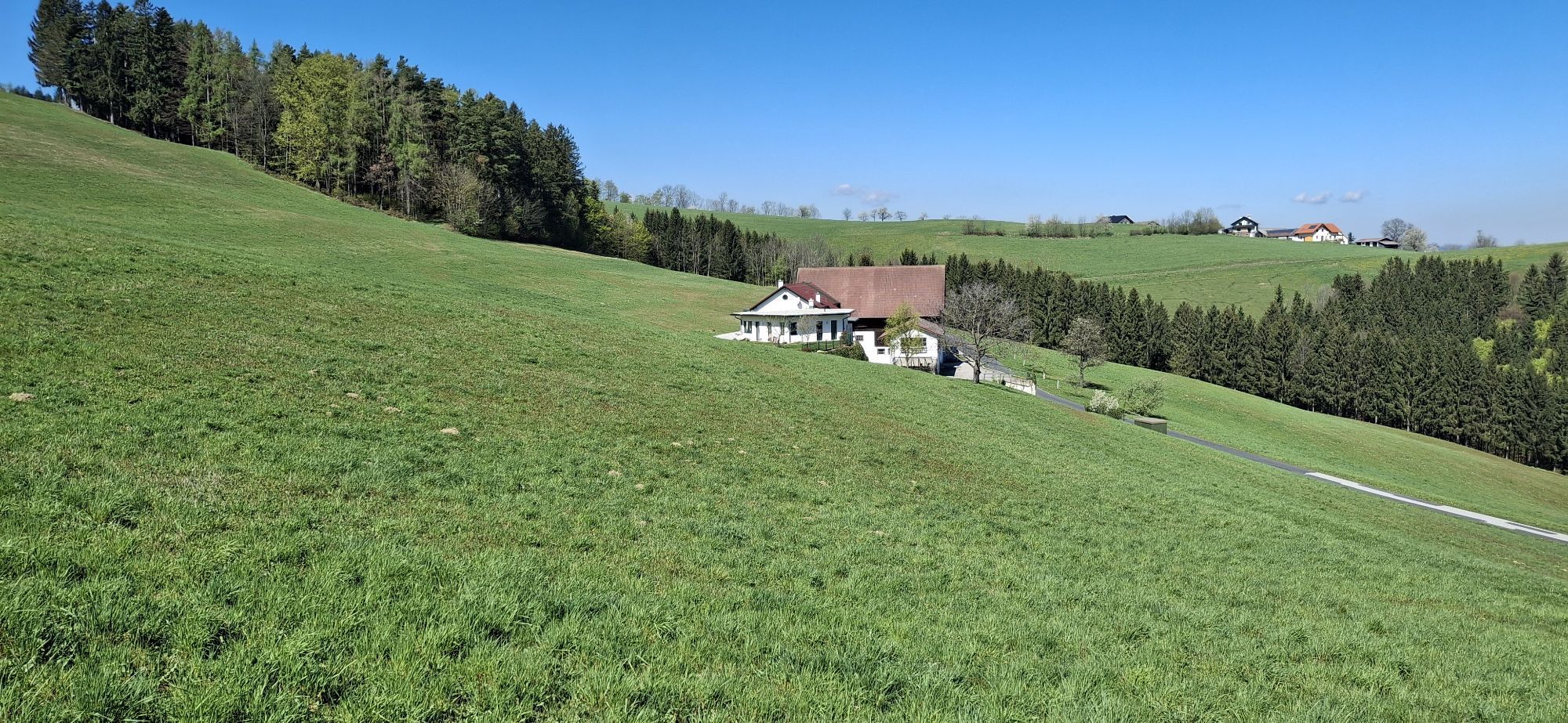
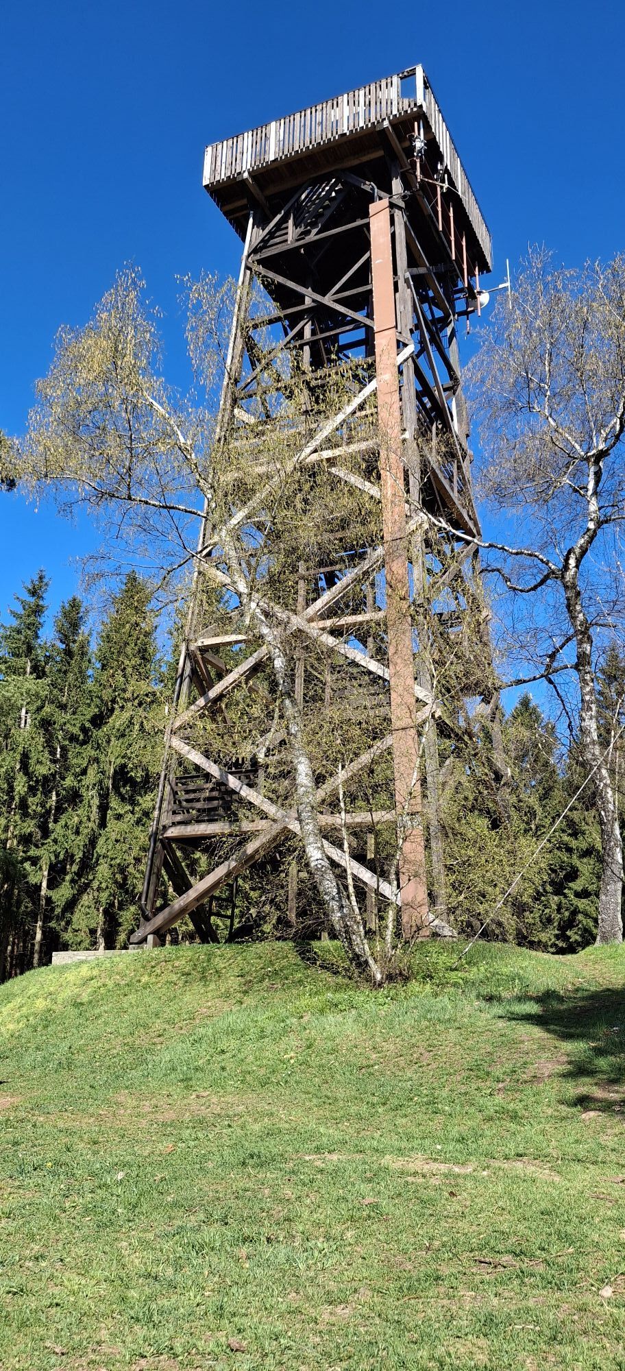
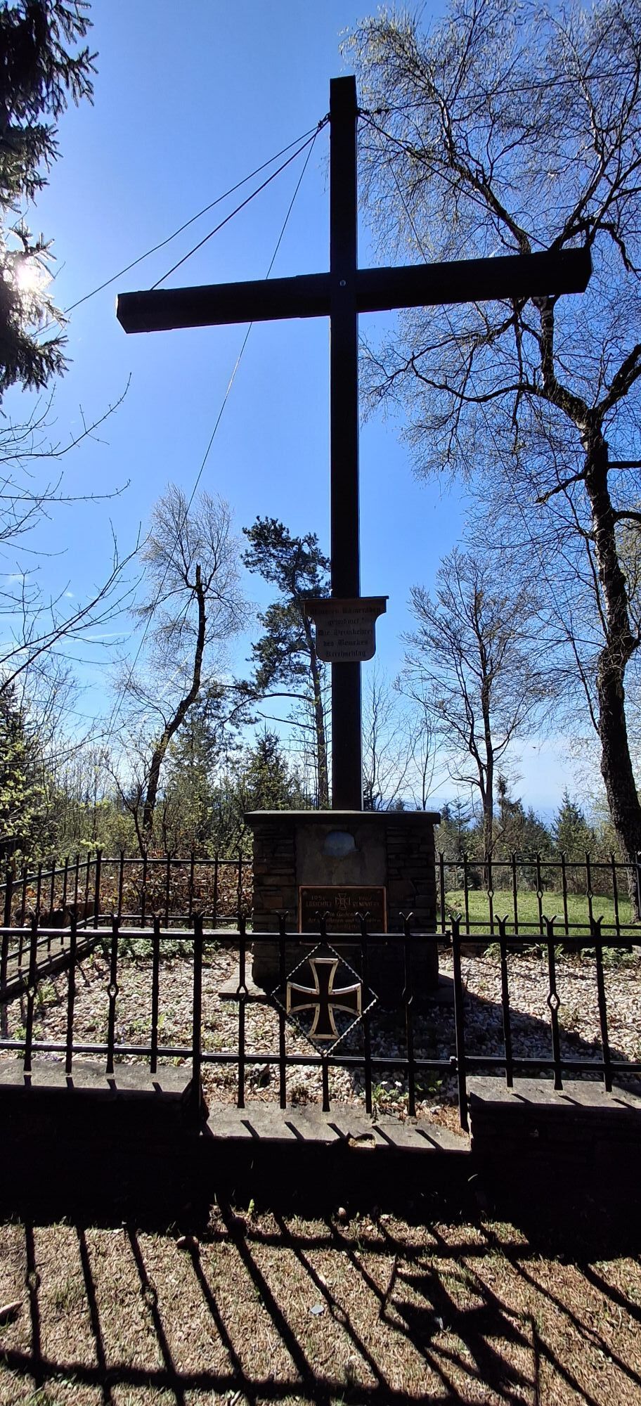
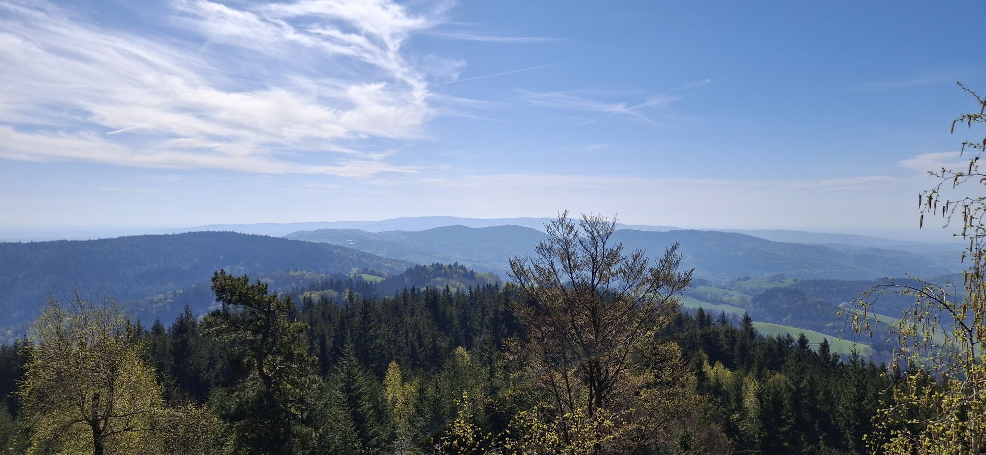
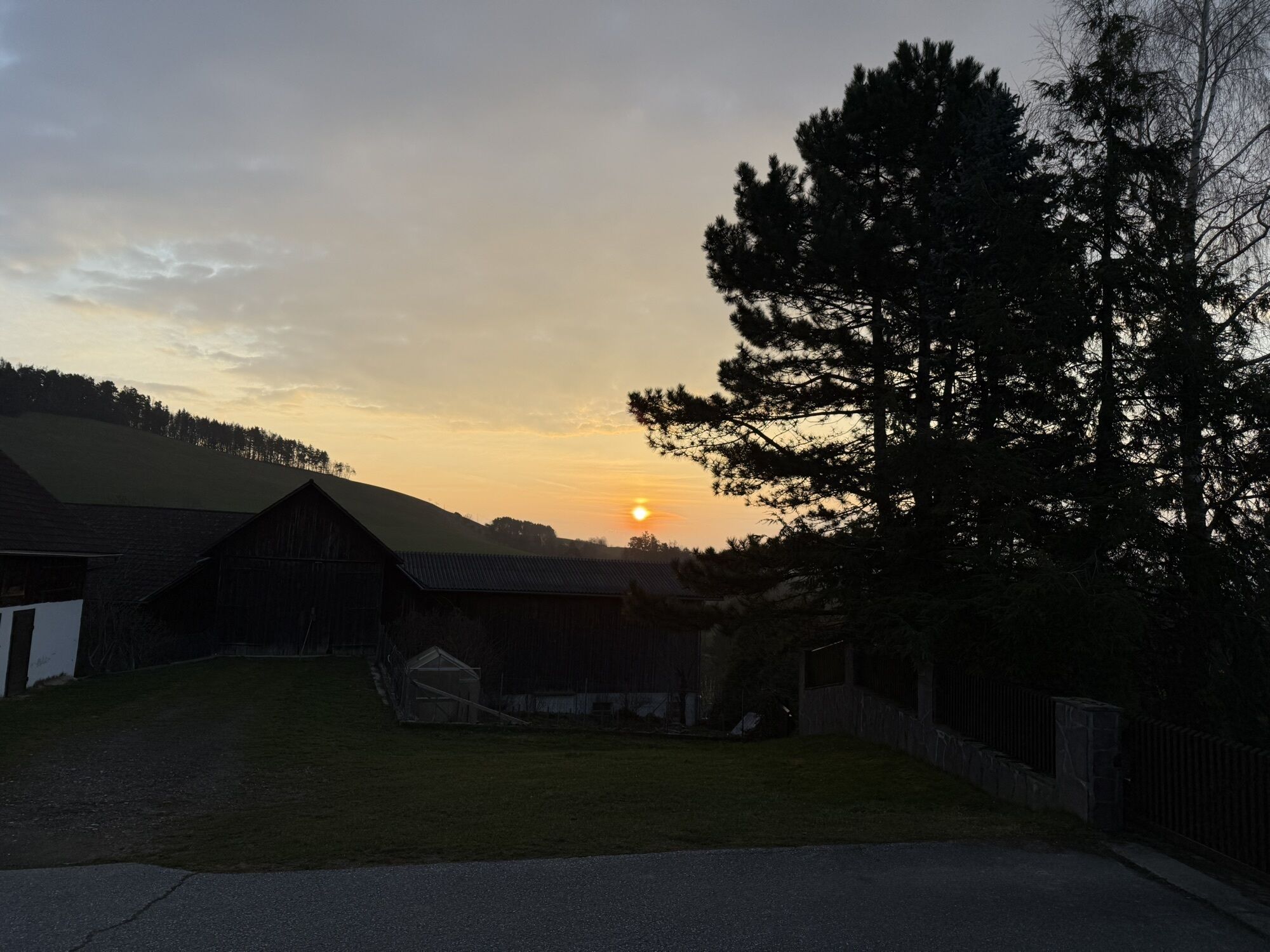

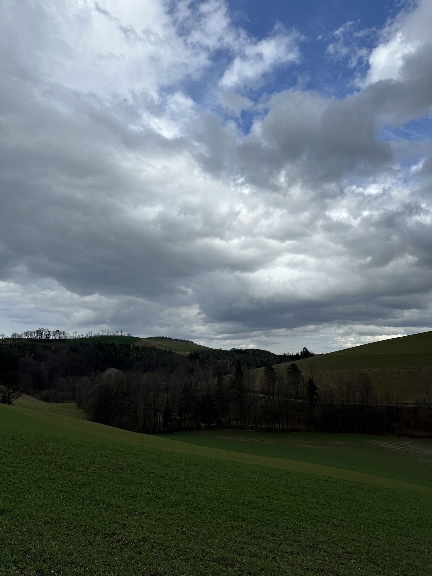
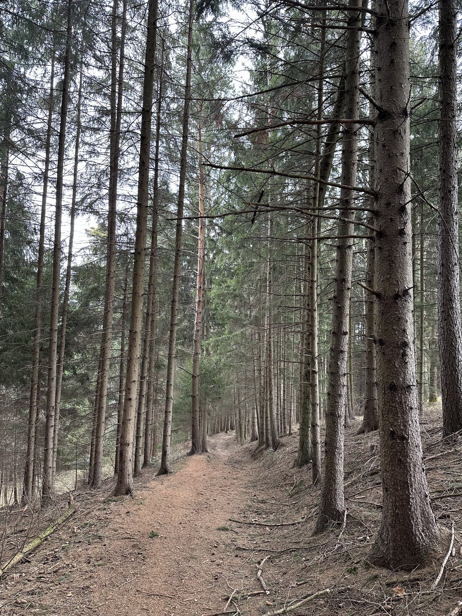
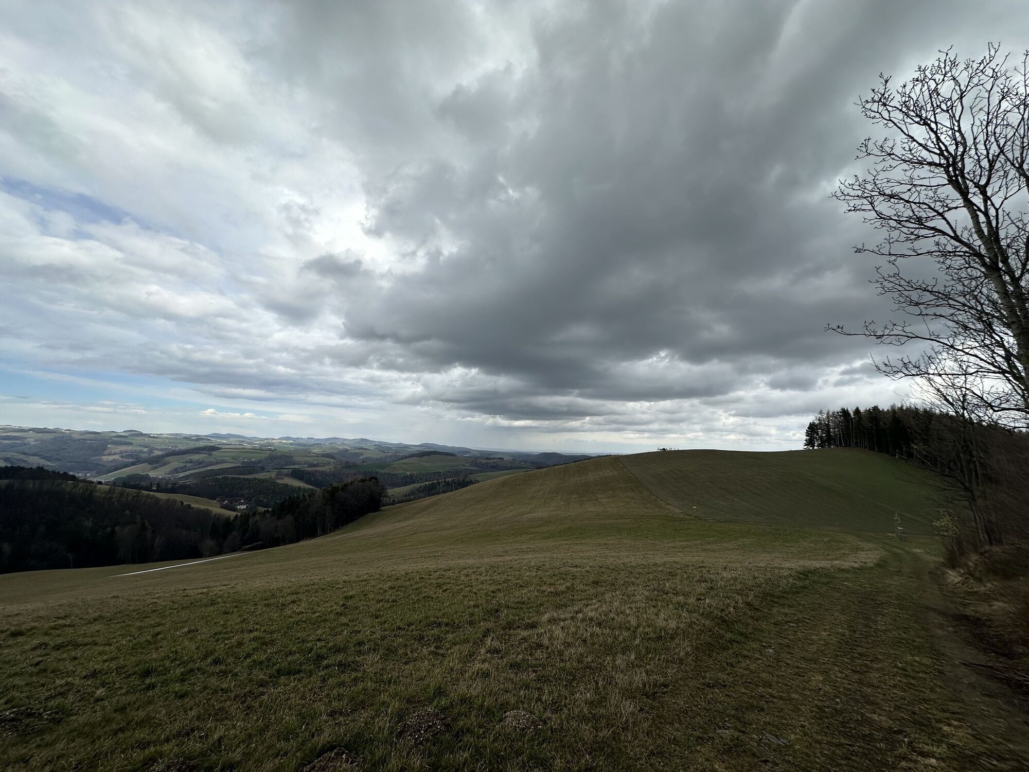
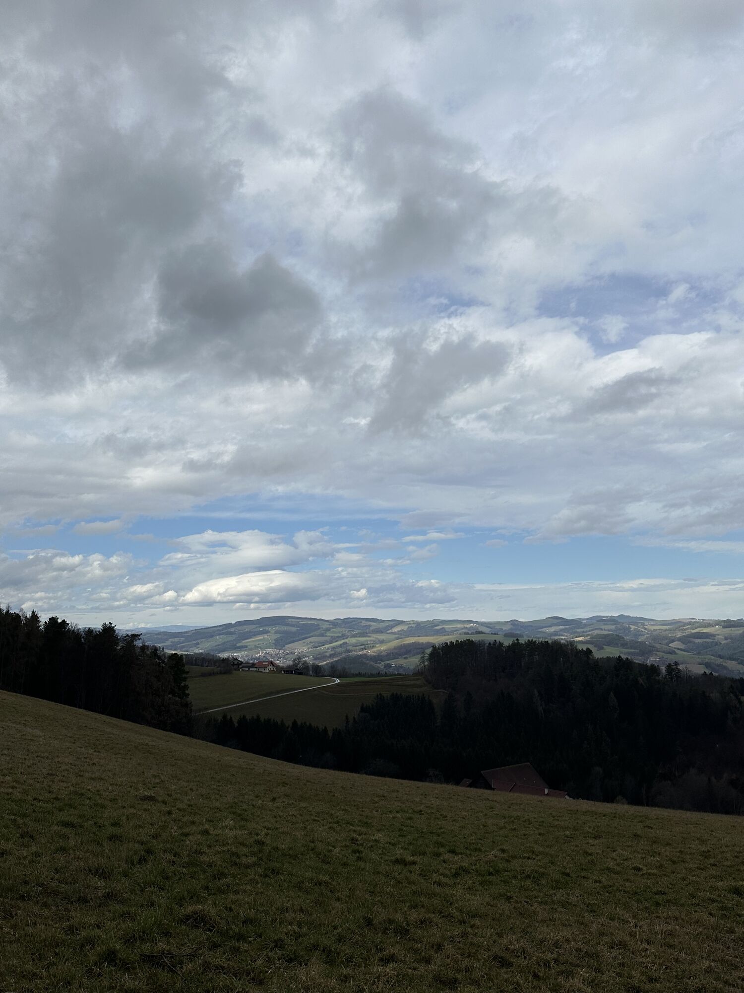
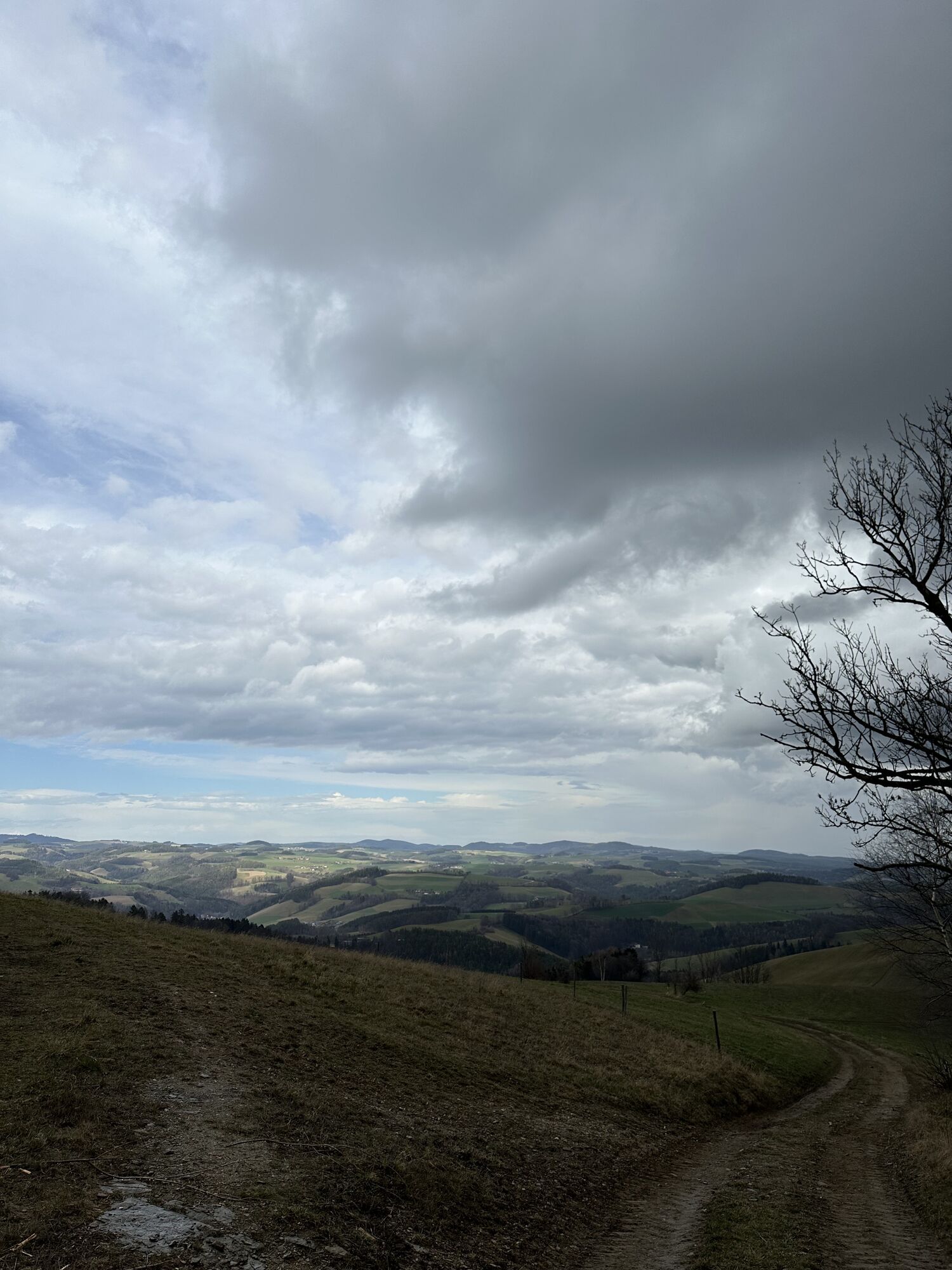
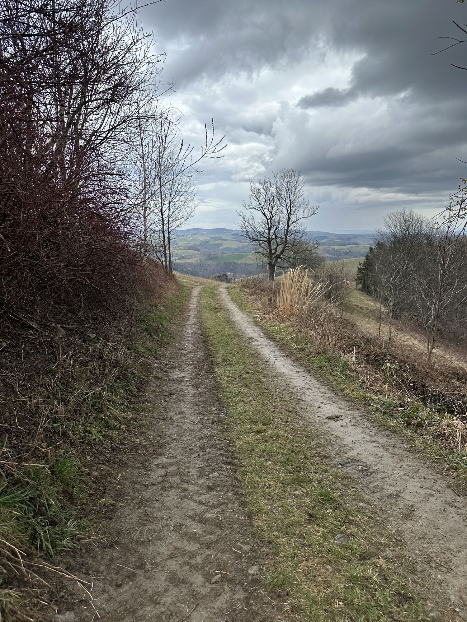
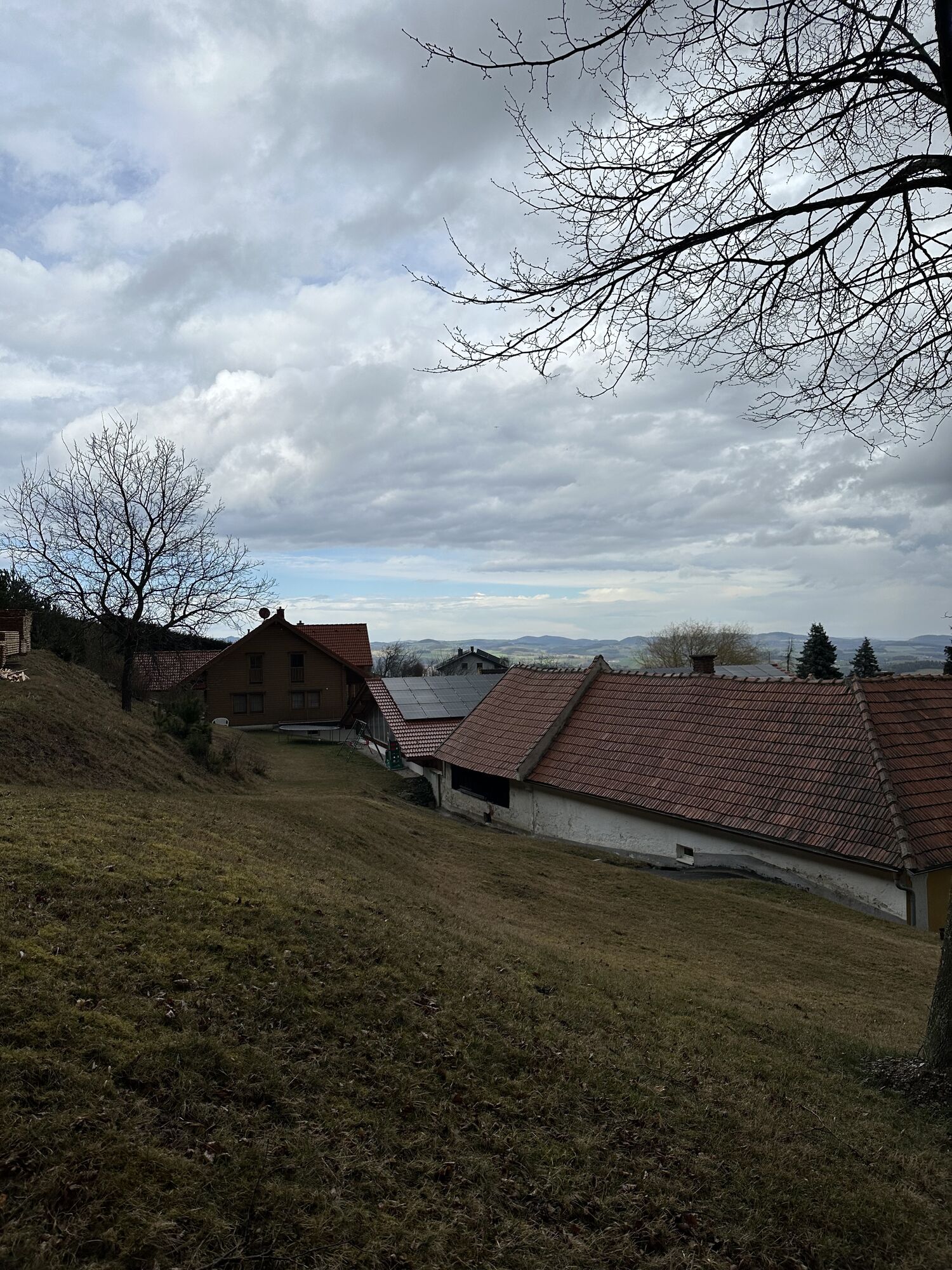
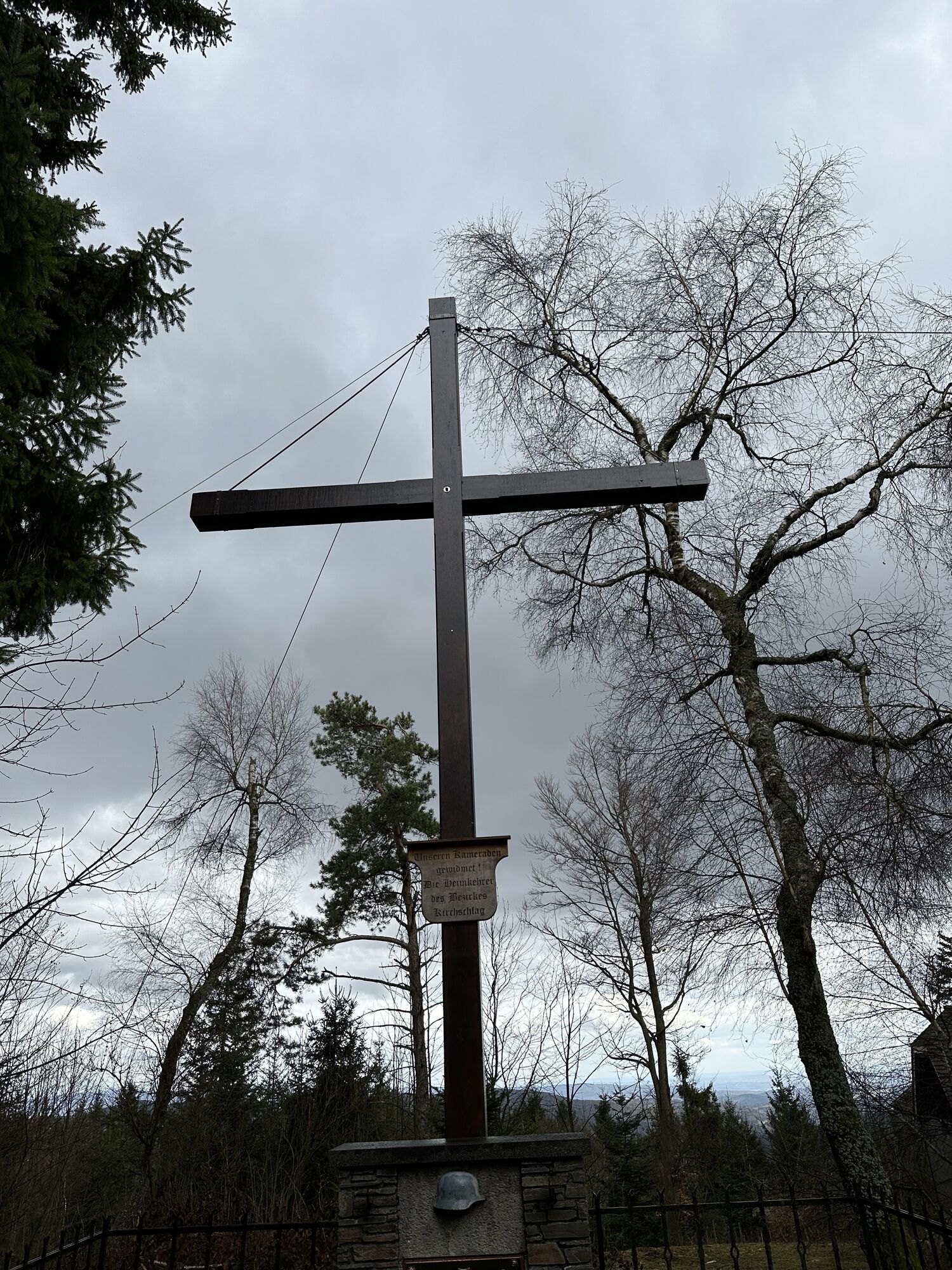
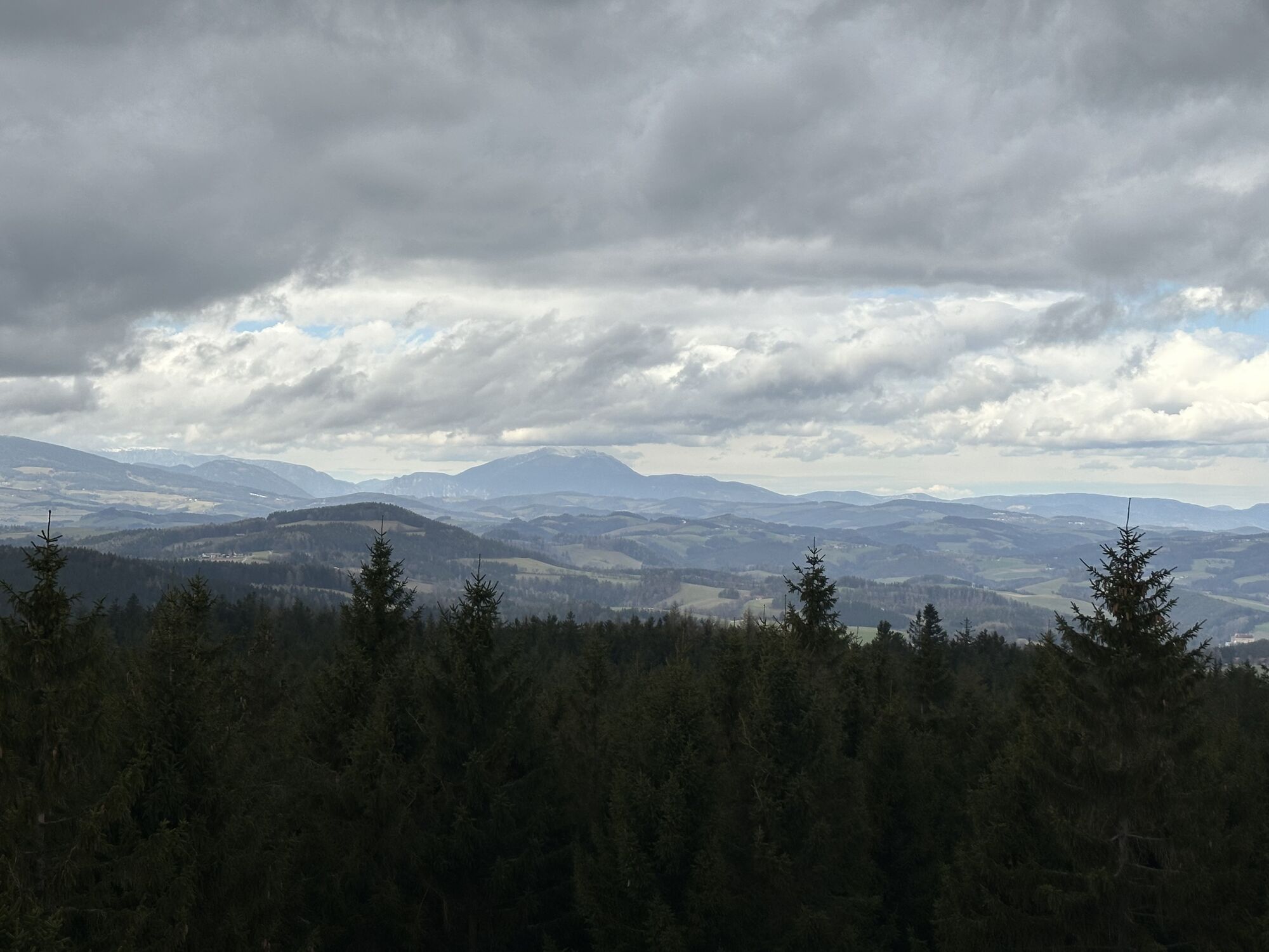
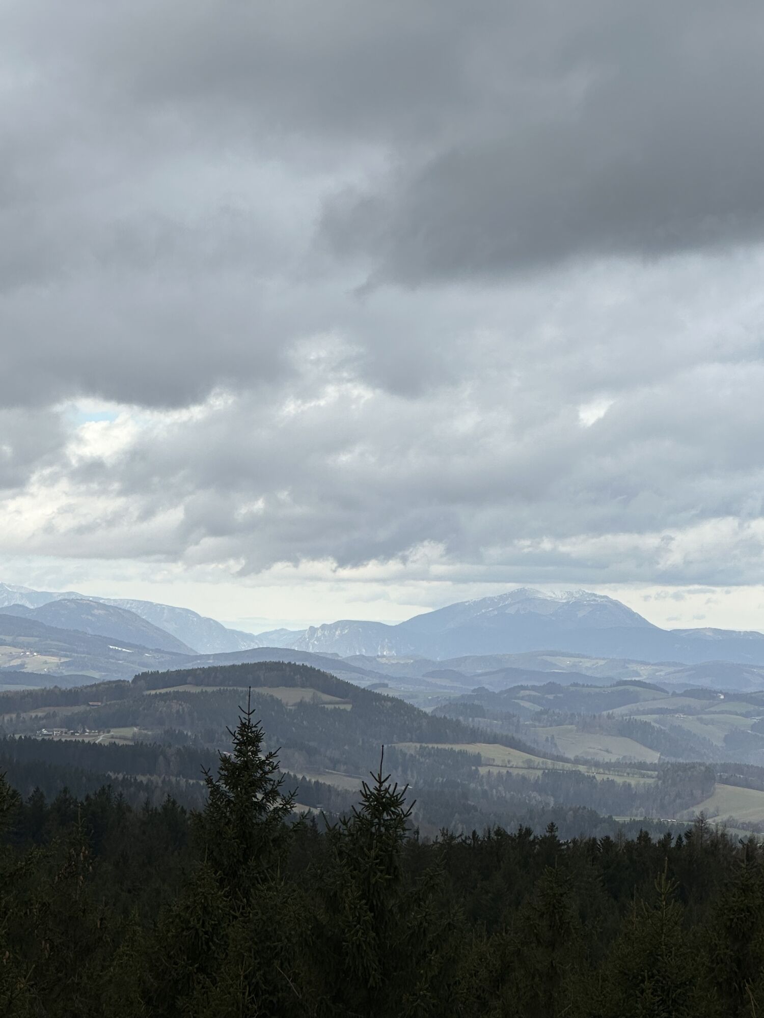
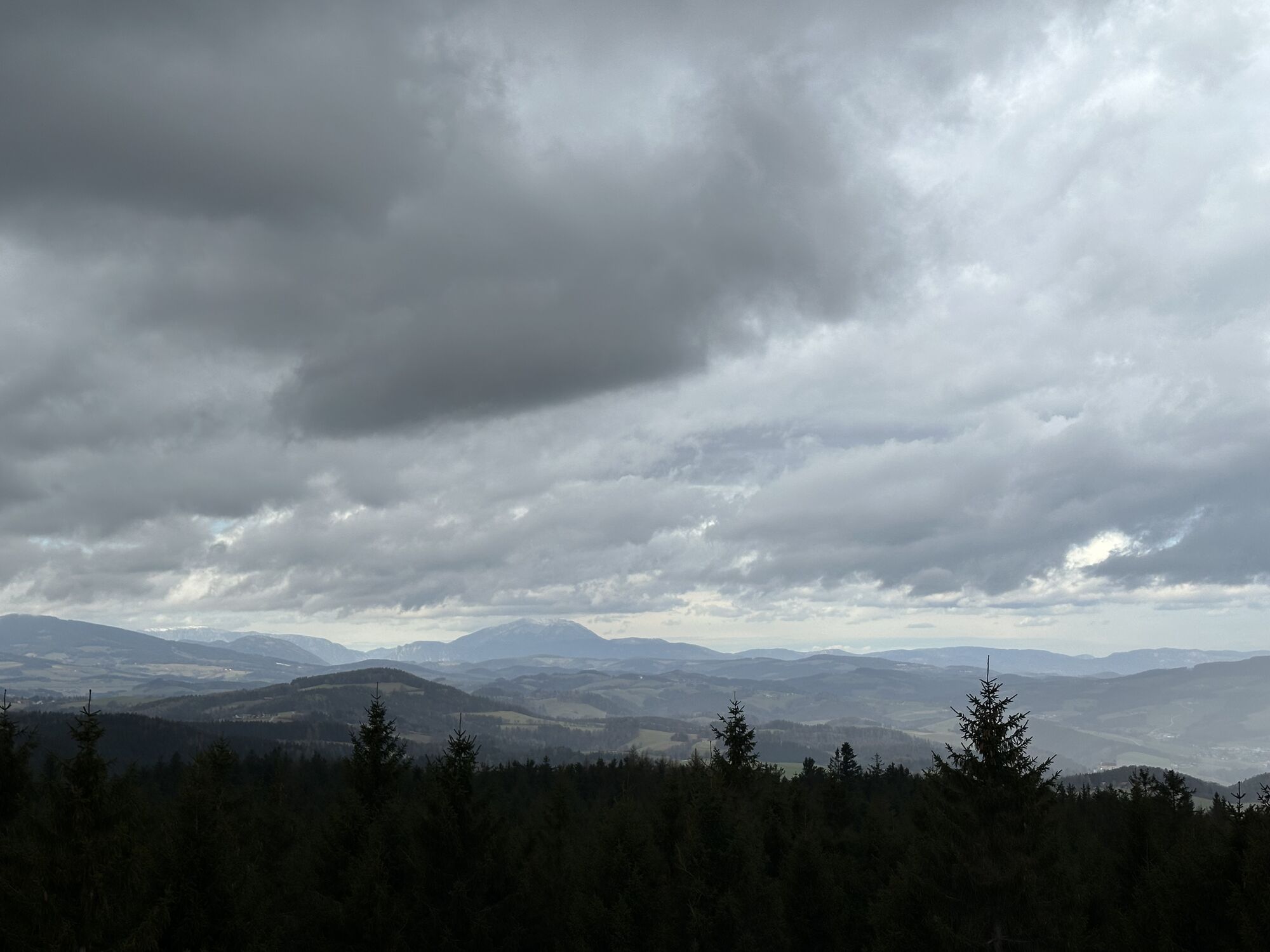
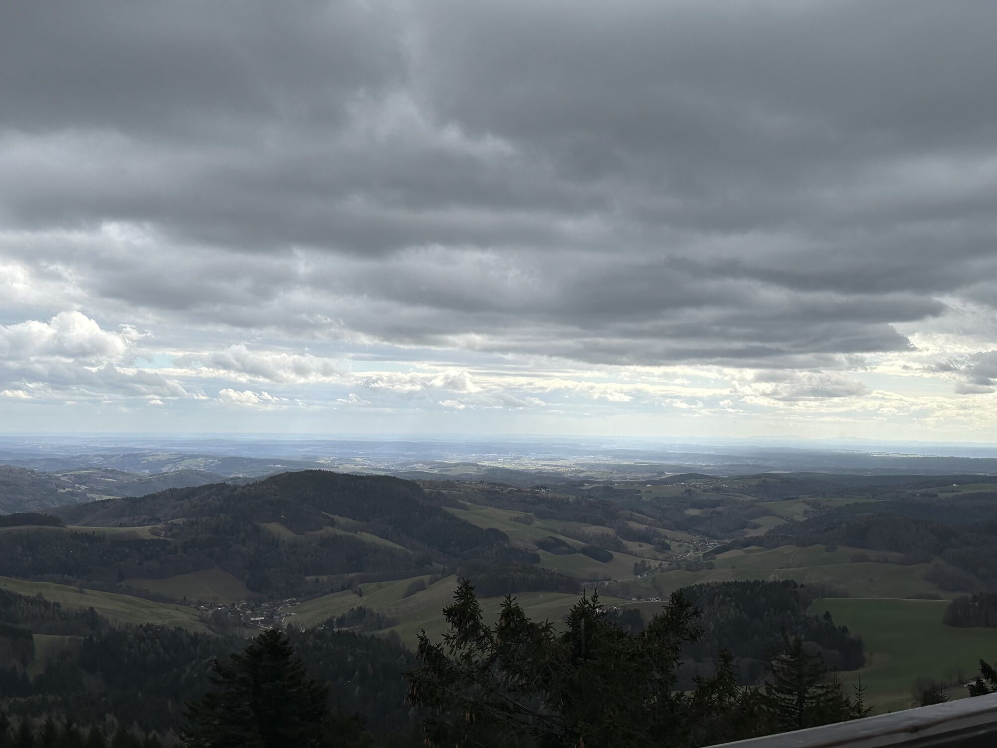
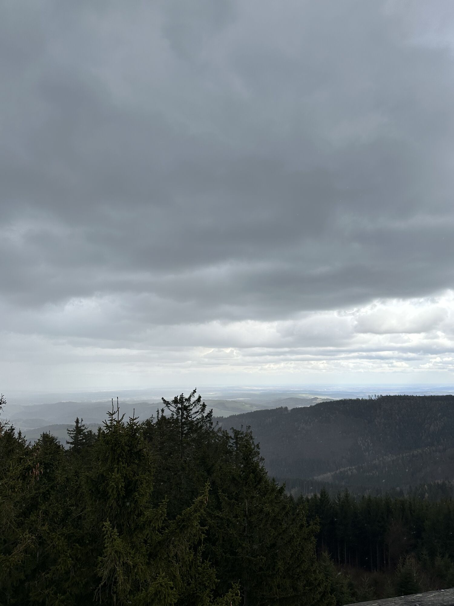
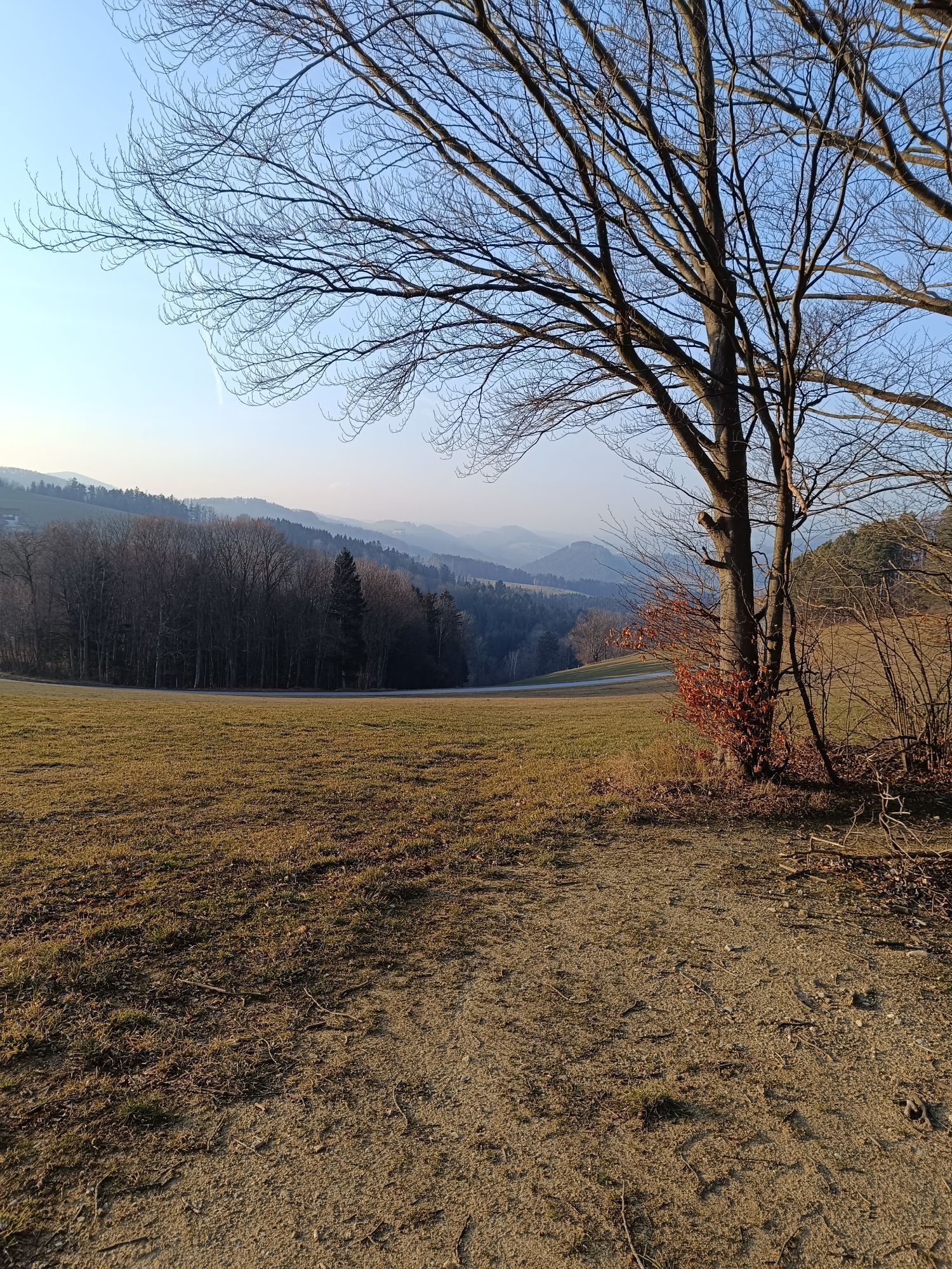
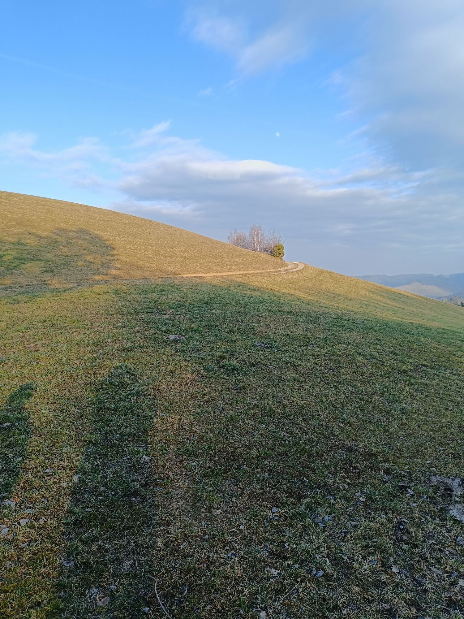
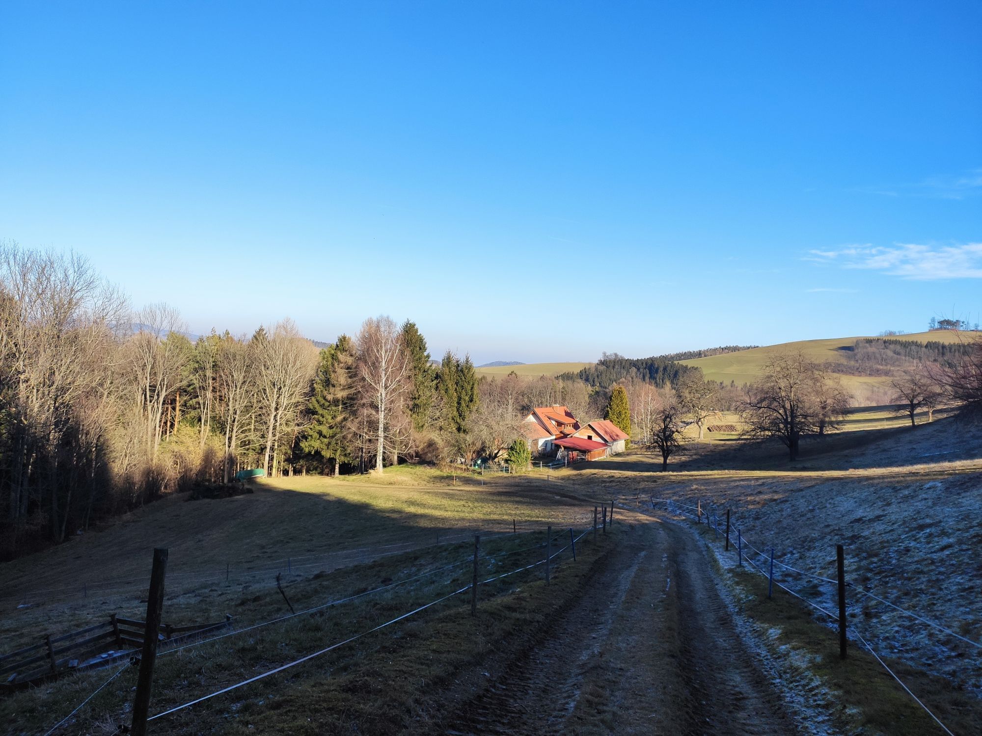
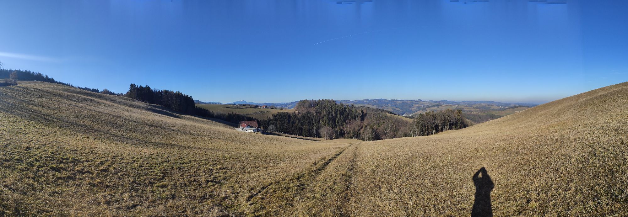
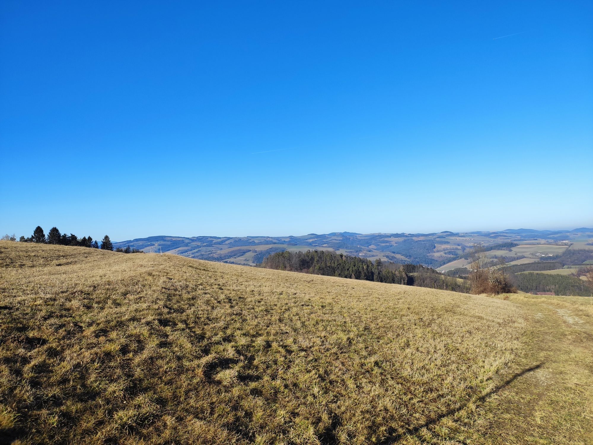
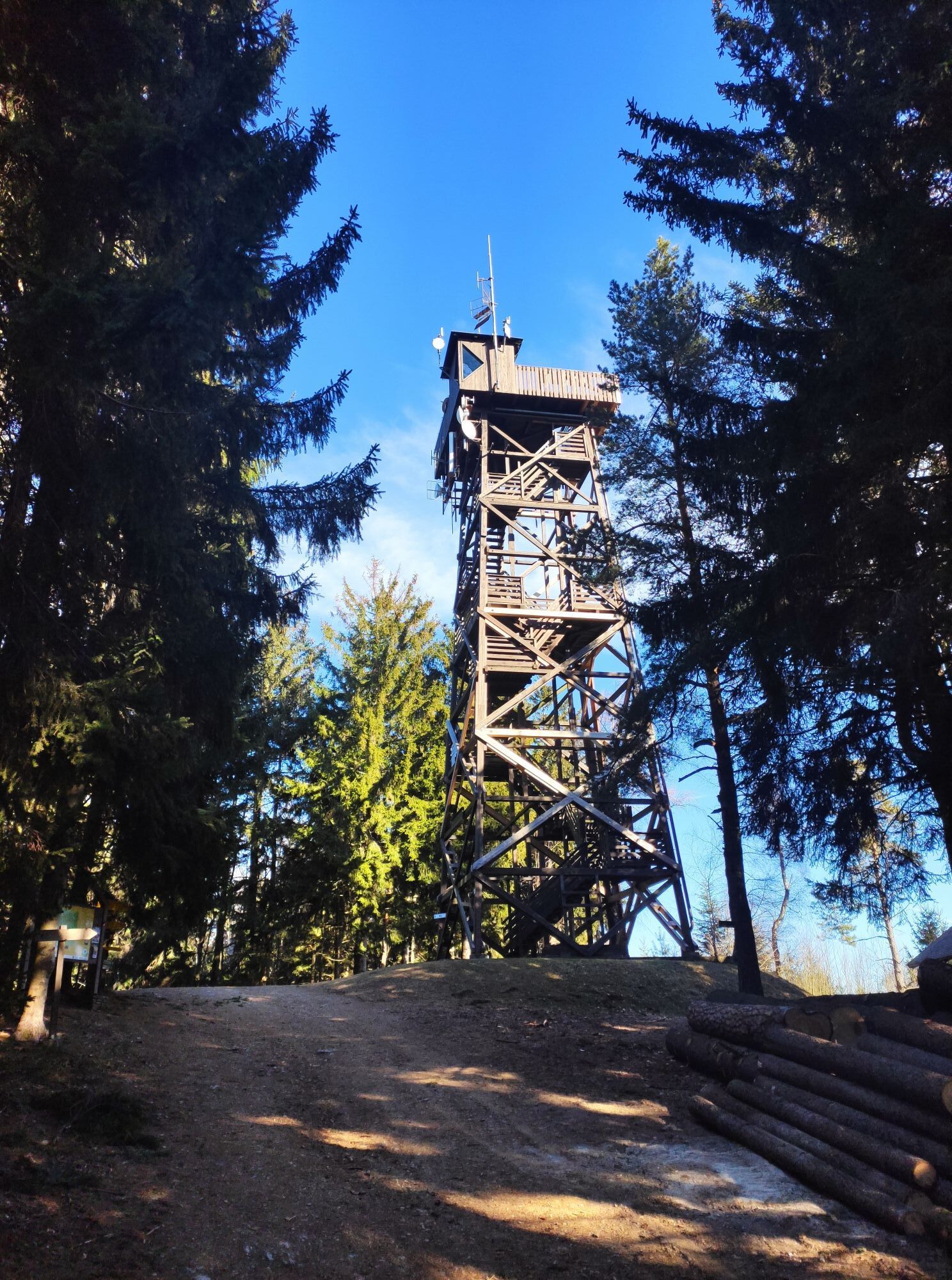
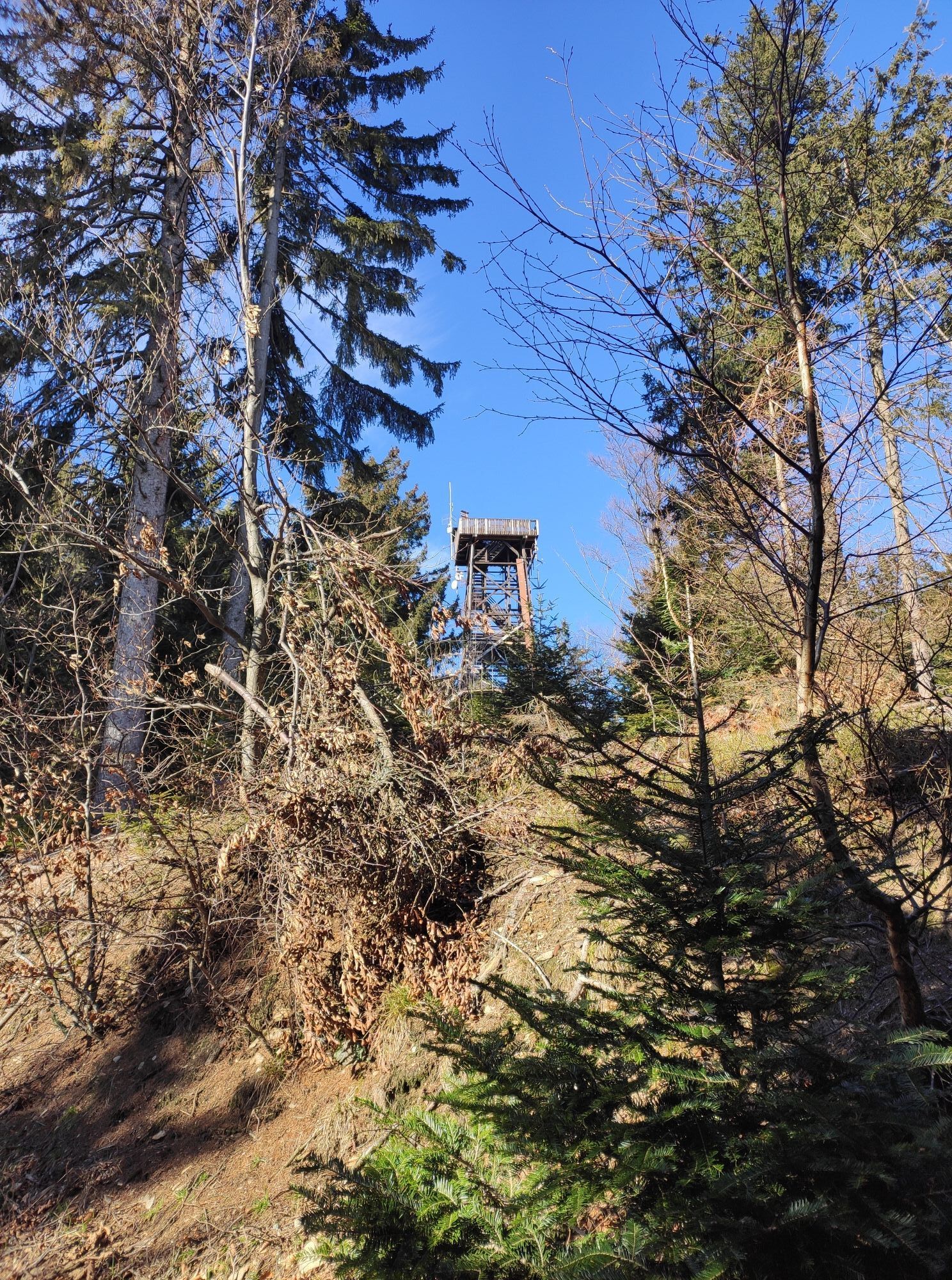
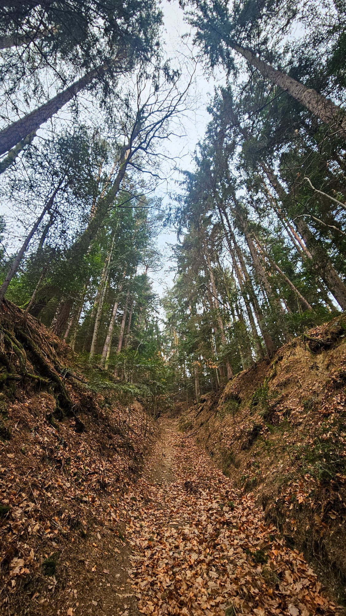
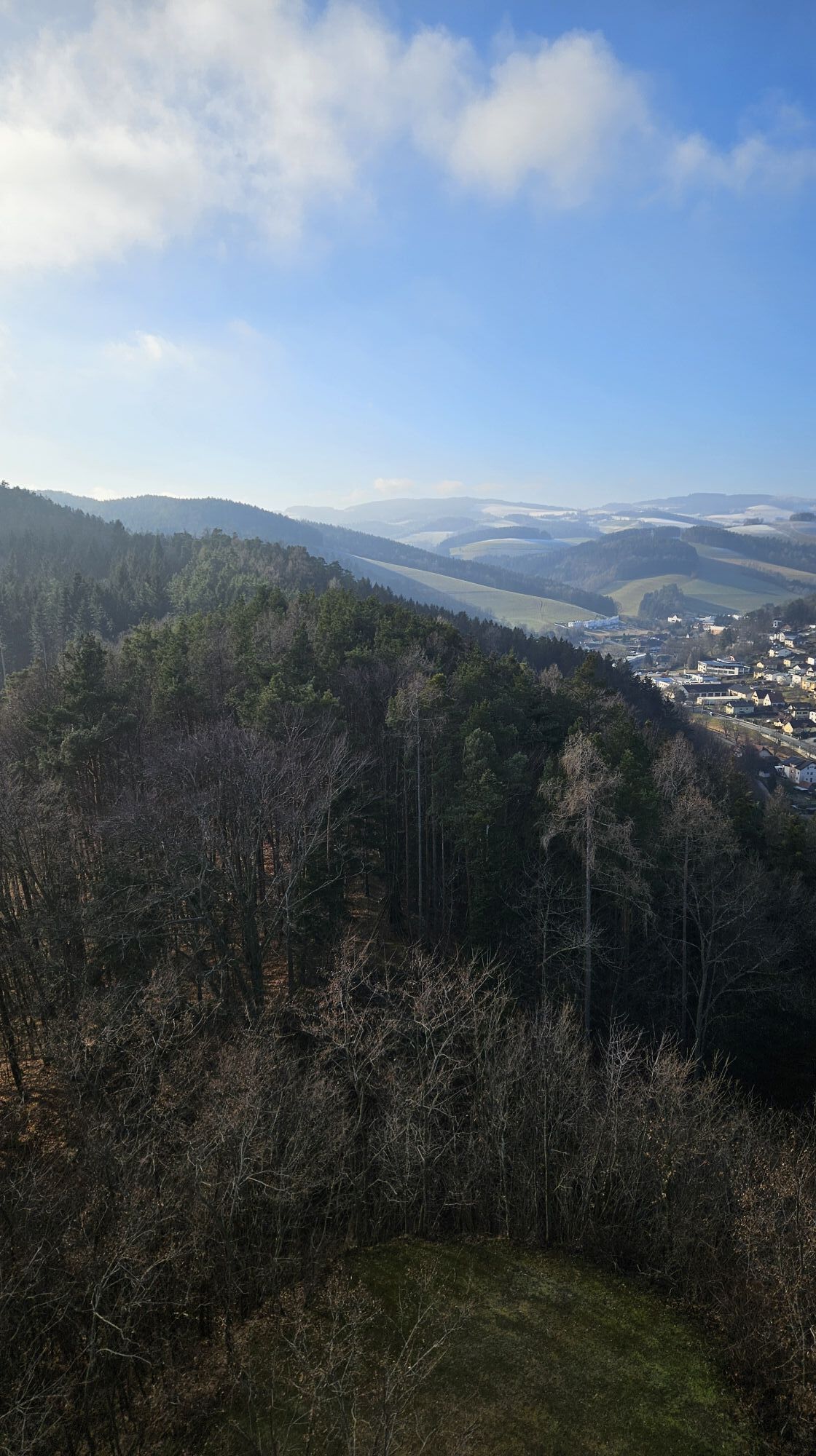
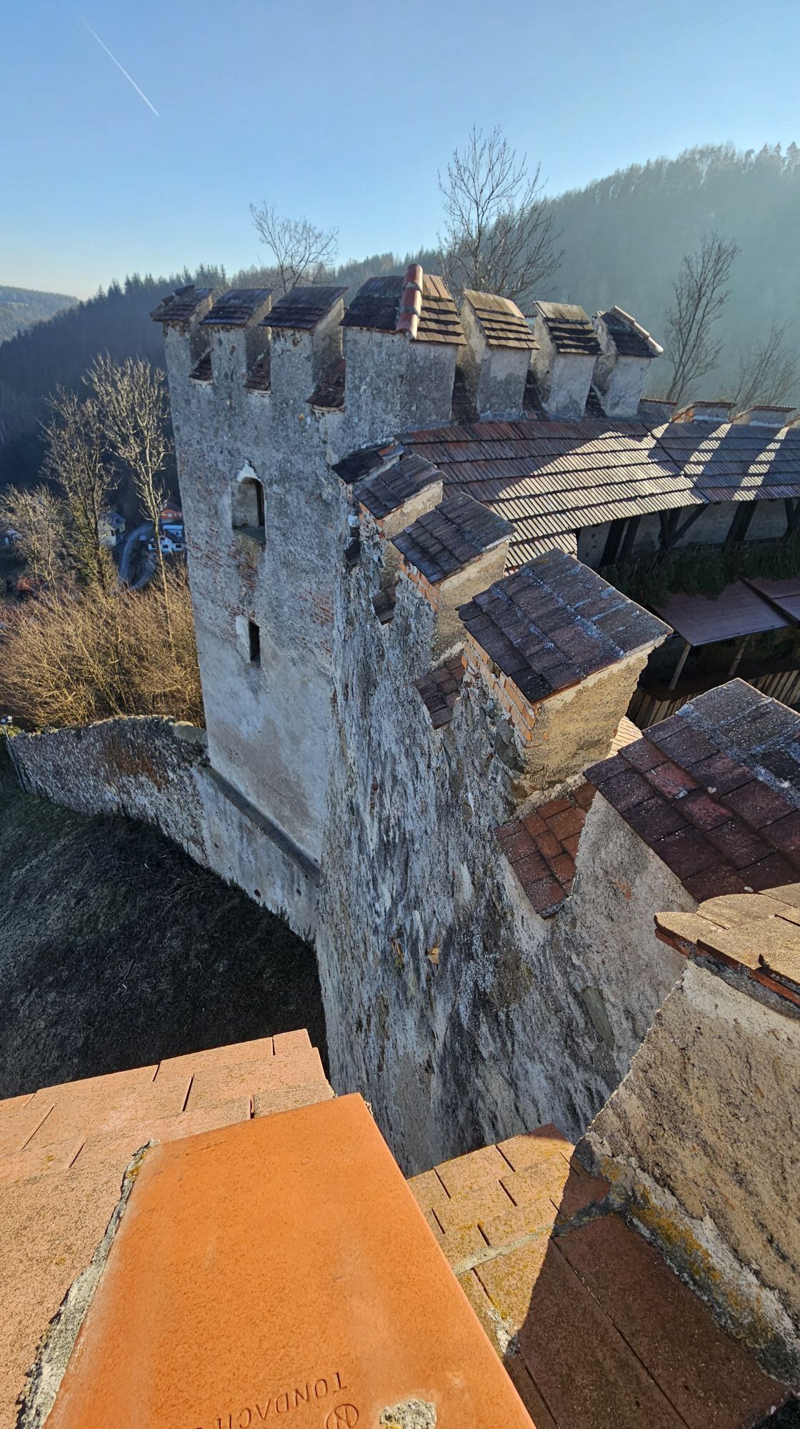
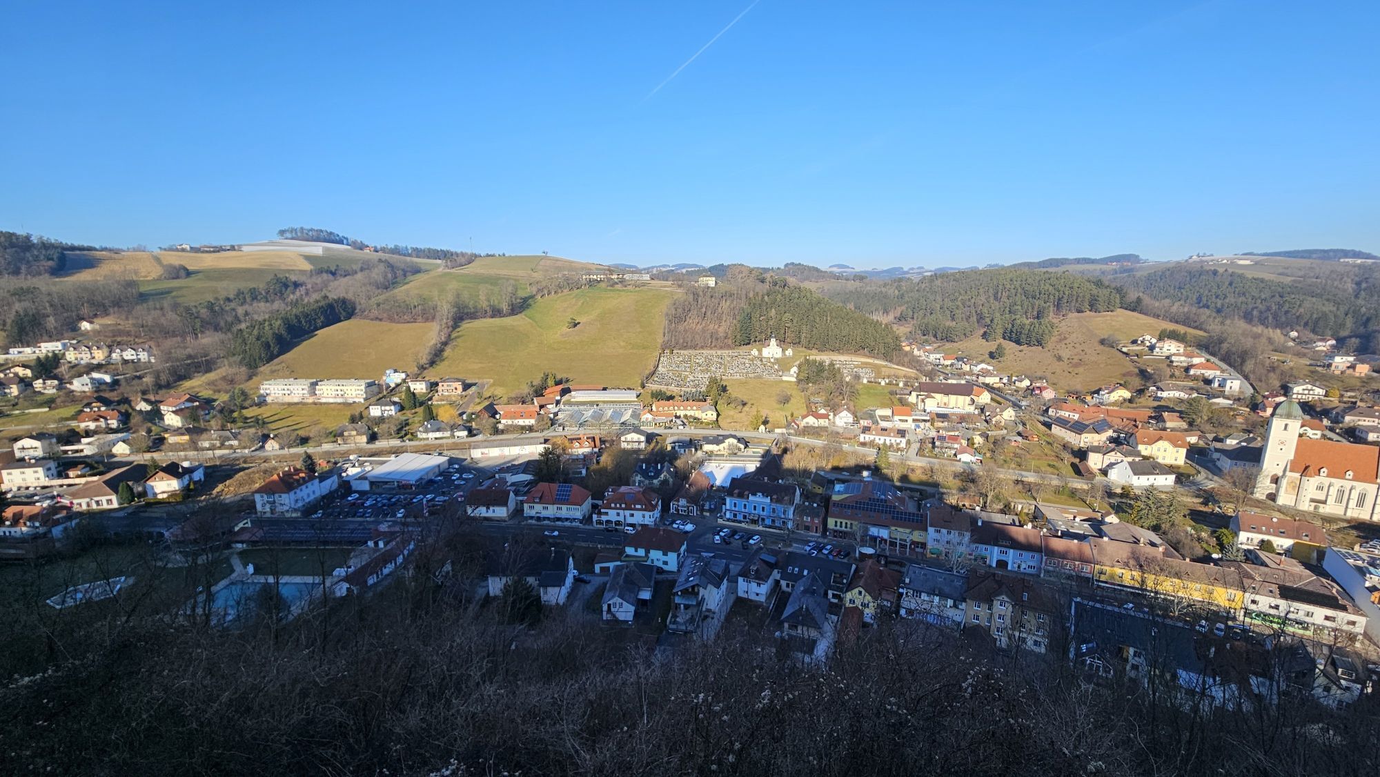
Via field and forest paths or little-used roads, the hike goes to Hutwisch, where the viewing tower can be climbed and many nice spots invite you to snack. Then the route leads us to Habich and further...
<p>Via field and forest paths or little-used roads, the hike goes to Hutwisch, where the viewing tower can be climbed and many nice spots invite you to snack. Then the route leads us to Habich and further on to Ungerbacher Höhe. On the last section, you pass the impressive Burgruine Kirchschlag. Back in Kirchschlag, many great inns await your visit.</p>

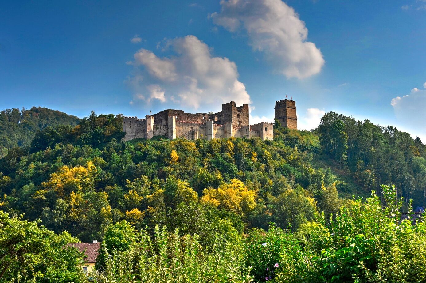
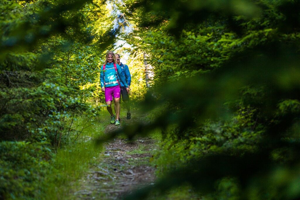
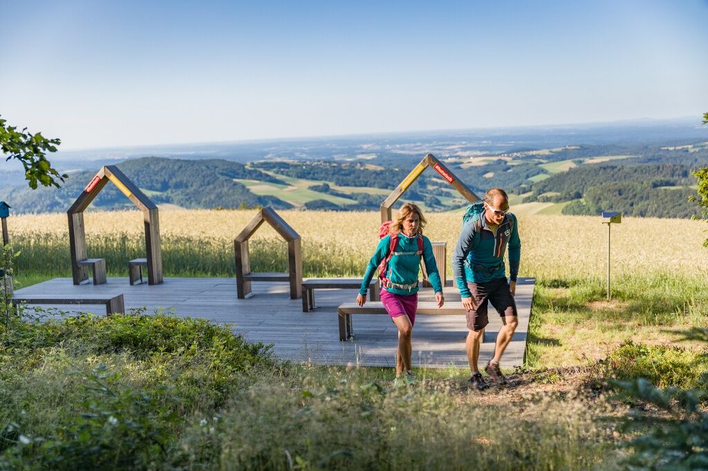
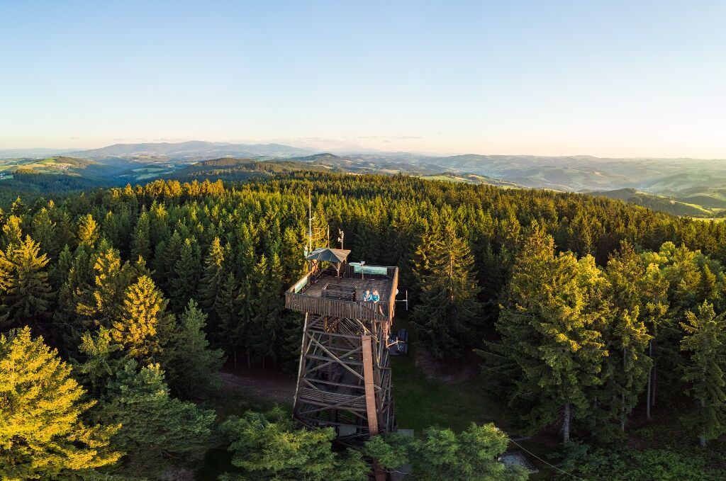

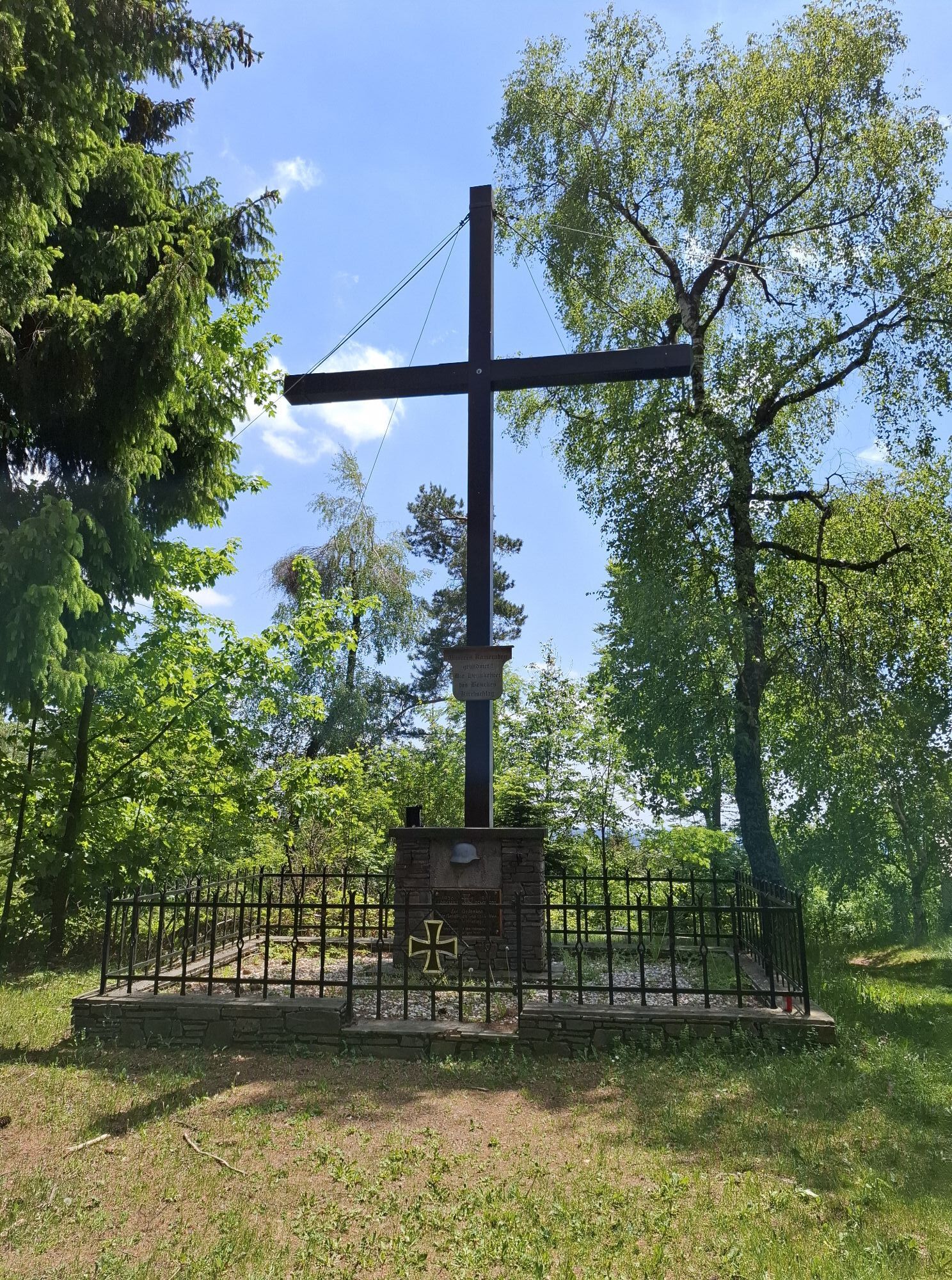
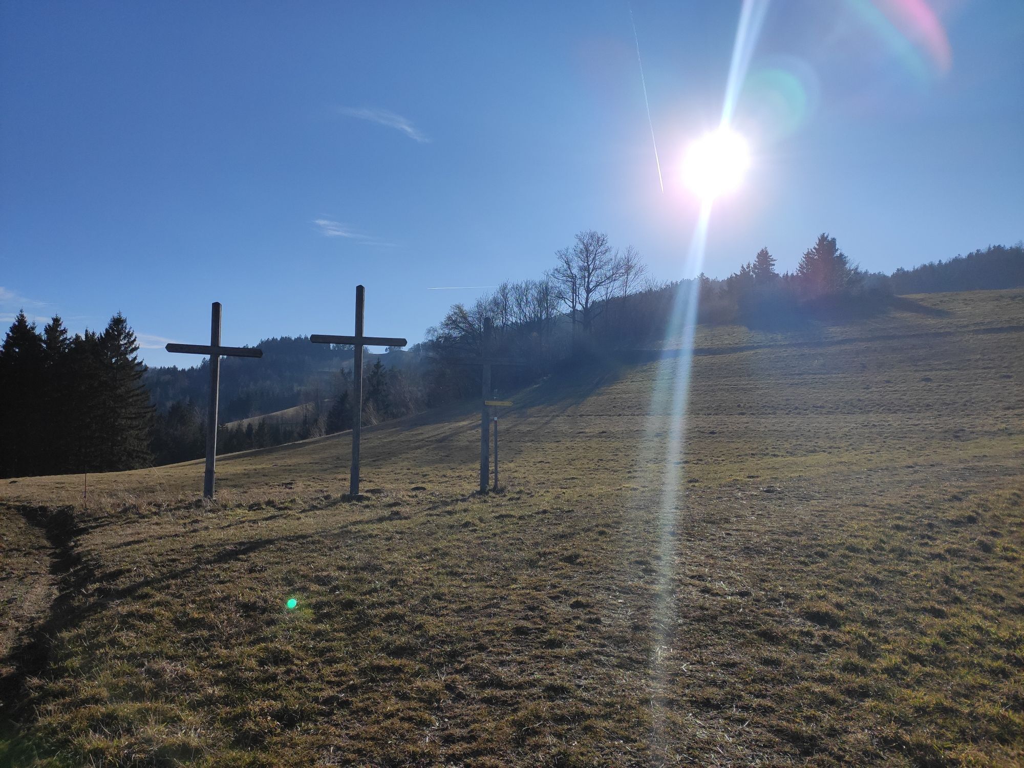
<p><strong>Marking D6+D5</strong></p><p>From the main square on the sidewalk, first along the federal road towards Bad Schönau, past the Bräuhaus Kogelbauer inn and Burgbad. At the OMV gas station, turn left into Bachgasse, always follow the Zöbernbach, to the right over the Bleierweg bridge, stay on the bike path until the Seiserbrücke, here turn left up to the Grandits guesthouse. Cross Seiserstraße here and pass the residential house on the right, then go uphill via a field path. At the top, the path passes by a farmhouse, where the field path becomes a street. Follow the course to <strong>Maierhöfen.</strong></p><p>There keep left and pass through the settlement. Pass the <strong>chapel</strong> on the left, at the end of the street a field path continues, keep going straight ahead here (section Weg der Blicke). After a while, at the next farmhouse (Ortbauer) turn left to stay on the field path. Through a forested area, you reach <strong>Schützenkasten.</strong> At the end of the forest path, turn right, shortly thereafter turn left into the forest, follow the course along the field path, past the <strong>3 weather crosses</strong>.</p><p>The path leads into a street in <strong>Wenigreith,</strong> continue left through the settlement. At the end, the street becomes a forest path again, keep left at first, then follow the course. At the T-junction turn left and then keep right.</p><p>Behind the <strong>Hutwisch viewing tower</strong> pass to the right, turn left on the road towards Harmannsdorf, past the farm, continue on the field path, keep left and follow the course, past the <strong>weather crosses.</strong> At the end of the field path straight ahead into the forested area. Straight ahead to <strong>Habich.</strong></p><p>At the fork before the houses turn left, then continue straight, keep right and continue left on the field path. At the intersection, turn right. The path ends at a farmhouse, continue right on the street, at the next intersection go left, after the curve turn right again. At the second opportunity turn left onto a field path after the farmhouse. At the next intersection, continue left on the street. After the farmhouse on the right side turn right, after the group of trees keep right again, continue on the field path along the forest edge. In the forest continue left, at the next fork turn left again towards <strong>Burgruine Kirchschlag</strong>, then turn right, past the castle ruins. Follow the path to the B55, there turn left to return to the main square.</p>
<p>Always take suitable maps with you. Wear sturdy shoes adapted to the route, take sun and rain protection as well as water and a small snack. Take your mobile phone with you and save the mountain rescue emergency number: 140</p>
<p>Your hikes in the Vienna Alps are meant to be a thoroughly beautiful and safe experience. Please note the following:</p><p><strong>Preparation</strong></p><p>Make sure when choosing the route that it matches your mountain experience and condition. Check the weather forecast in advance. Weather in the mountains can change surprisingly fast. Therefore, always start out properly equipped (e.g., rain protection).</p><p>Check if the huts and snack stations you want to visit along the way are open. Inform someone about the route choice and your planned return before setting out.</p><p>Find more safety tips for your hike <a href="www.wieneralpen.at/sicherheit-am-berg...
<p>Take the South Motorway A2, exit at Krumbach. Continue to the Krumbach junction. Continue on Kirchschlager Str./B55 to Kirchschlag.</p>
<p>More info can be found at <a href="www.oebb.at">www.oebb.at</... and <a href="www.vor.at">www.vor.at</a&...
<p>Adequate parking spaces available on site</p>
Vienna Alps in Lower Austria, www.wieneralpen.at, +43 / 2622 / 78960
Opening hours: Mon - Thu 08:30 - 16:00 / Fri 08:30 - 13:00
Refreshments:
Hotel Post / Hönig Wirt, Kirchschlag
Bräuhaus Kogelbauer Inn, Kirchschlag
Pürrer Inn
Sights along the way:
Hutwisch Viewing Tower
Burgruine Kirchschlag
Nearby:
Burgbad Kirchschlag
Rosengarten Kirchschlag
Fortified Church Kirchschlag
City Museum Kirchschlag
Získajte prehľad
Vždy naživo na mieste s viac ako 9 500 webovými kamerami. bergfex Ako používateľ Pro si teraz môžete pozrieť príslušné webové kamery pre mnohé zájazdy v aplikácii zájazdy z. Môžete si tak priamo prezerať aktuálne podmienky.
Obľúbené výlety v okolí
-
4,1
"Weg der Blicke"
svetloTuristika 5,86 km -
4,4
Bad Schönau - Hutwisch
svetloTuristika 9,99 km -
4,4
B53 Edelserpentin
strednáCyklistika 23,5 km -
4,8
Bakabu children's adventure trail to Hutwisch
strednáTematická trasa 5,42 km -
4,4
BAD-SCHÖNAU Hutwisch und wieder zurück 20220611
strednáTuristika 10,8 km -
4,7
S24 Neustiftrunde
Turistika 9,22 km -
4,8
B41 Zöberntal-Rabnitztal cycle trail
strednáCyklistika 40,7 km -
5,0
Geschriebenstein Roas
ťažkéTuristika 55,3 km -
4,5
Glasgraben route
strednáTuristika 12,9 km -
4,0
Bad Tatzmannsdorf - Sulzriegel - Jormannsdorf - Oberschützen - Bad Tatzmannsdorf
svetloTuristika 9,20 km
Turistika a stopovanie


Nenechajte si ujsť ponuky a inšpiráciu na ďalšiu dovolenku
Vaša e-mailová adresa bol pridaný do poštového zoznamu.





