


Schneeberg & Rax Backstage - Hiking tip for experts

A somewhat off the main paths multi-day tour in the Rax-Schneeberg area from Payerbach to Puchberg/Schneeberg. The first hiking day follows the Wiener Alpenbogen path via Törlweg to the Otto-Schutzhaus....
<p>A somewhat off the main paths multi-day tour in the Rax-Schneeberg area from Payerbach to Puchberg/Schneeberg. The first hiking day follows the Wiener Alpenbogen path via Törlweg to the Otto-Schutzhaus. On the second day, once across the Rax, it goes to Habsburghaus and down the Regional Route N to Naßwald, where the overnight stay is at the inn Zum Raxkönig. The third day is rather leisurely on Regional Route O via Preintal and Vois to Edelweißhütte at Fadensteig. The last day leads down the Regional Route P into the hiking village Puchberg am Schneeberg.</p>

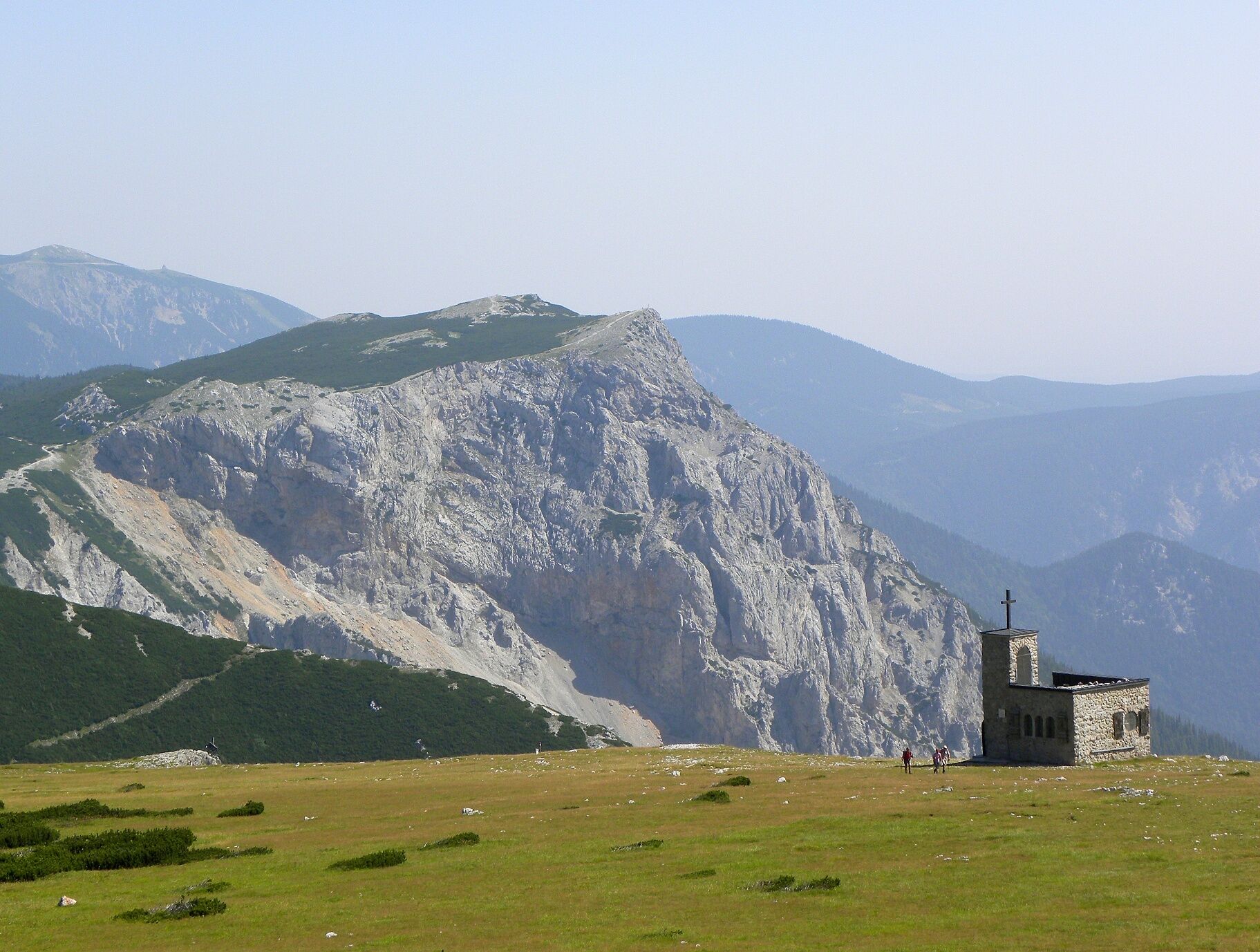
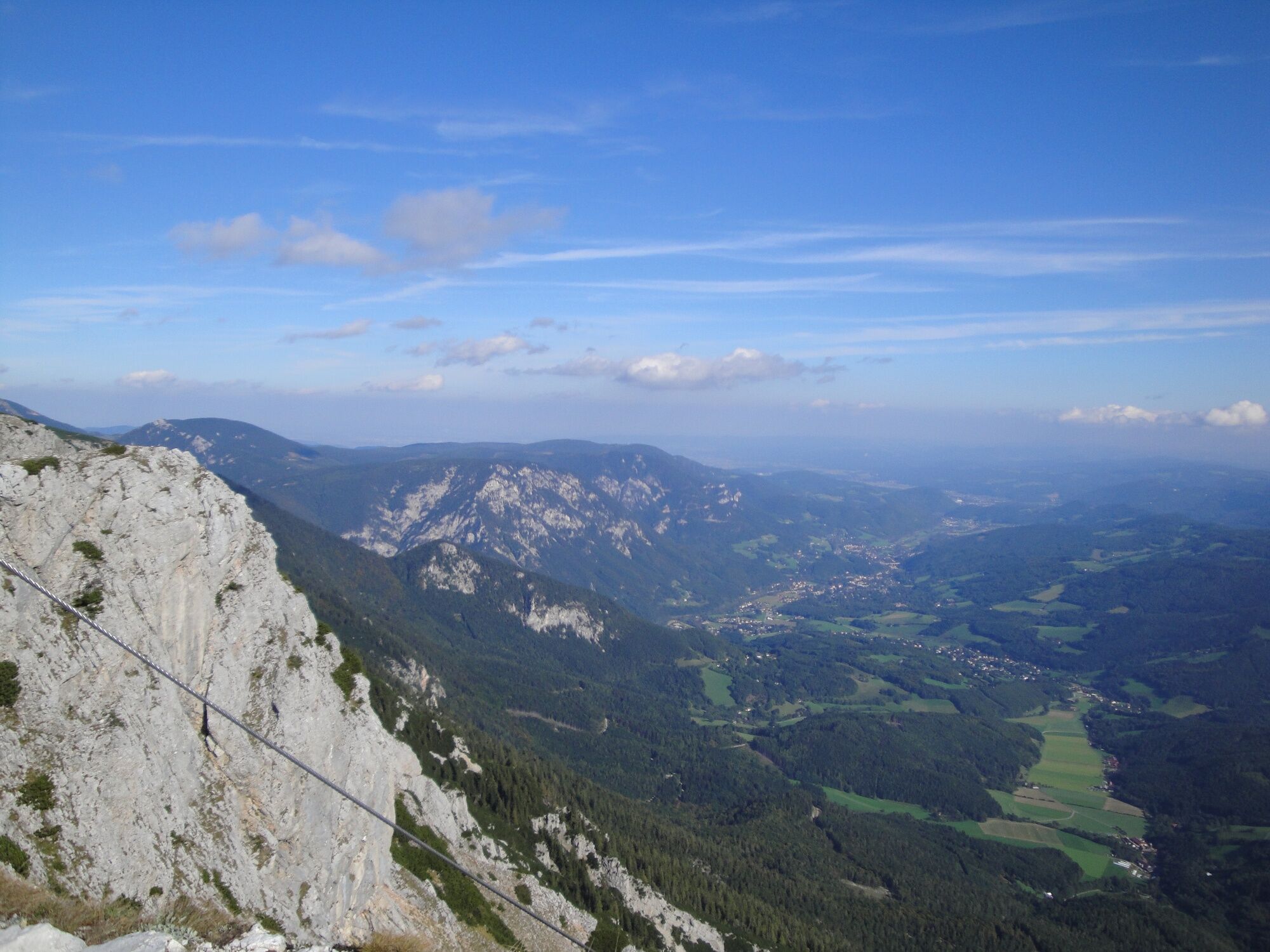
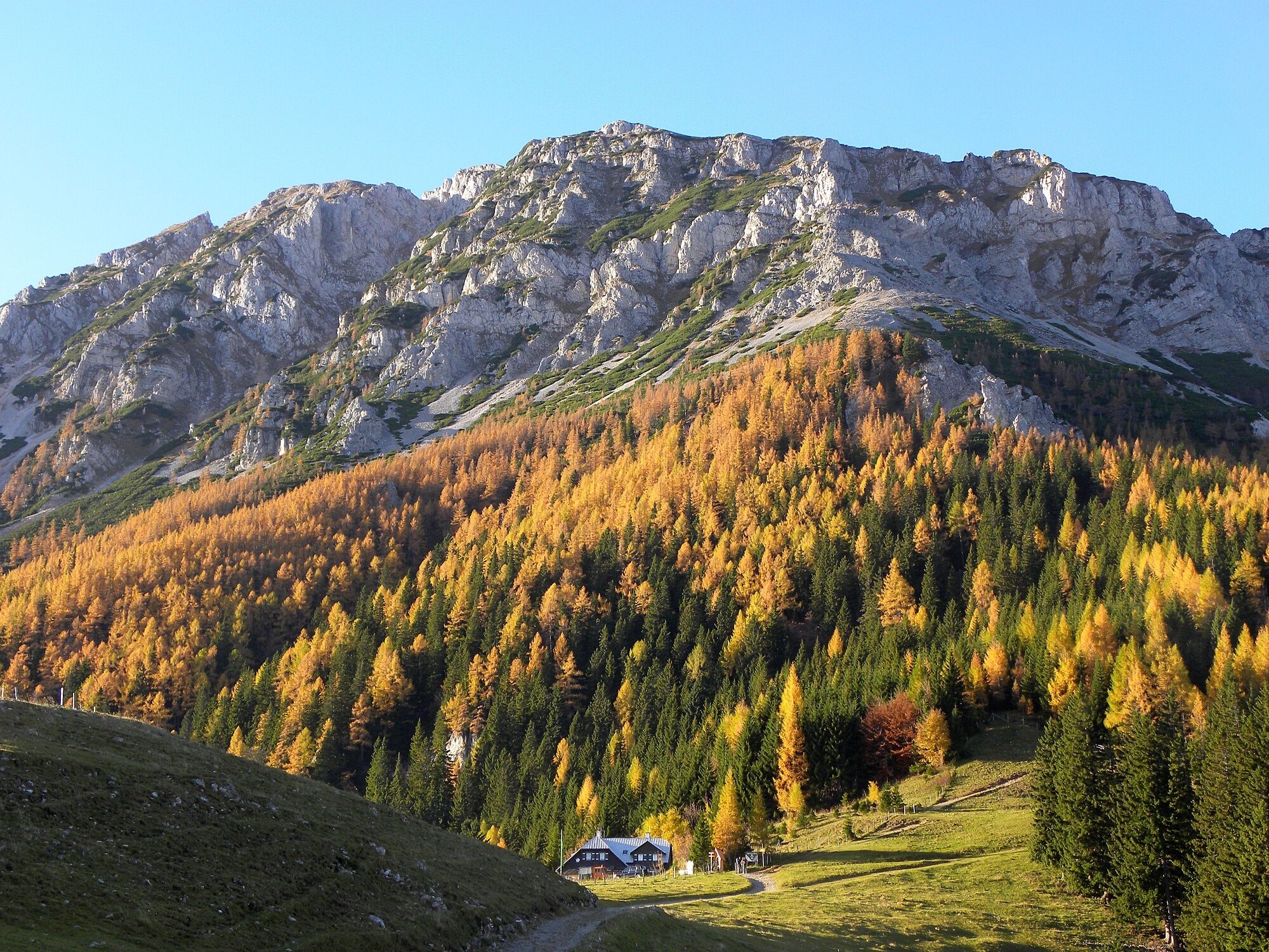
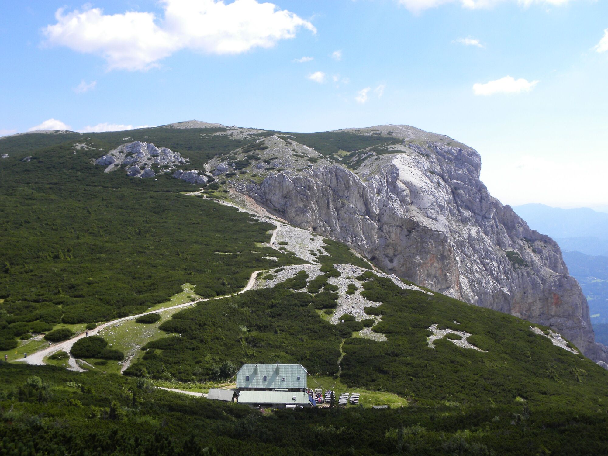
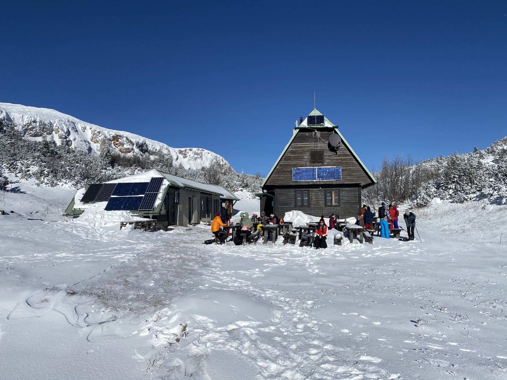
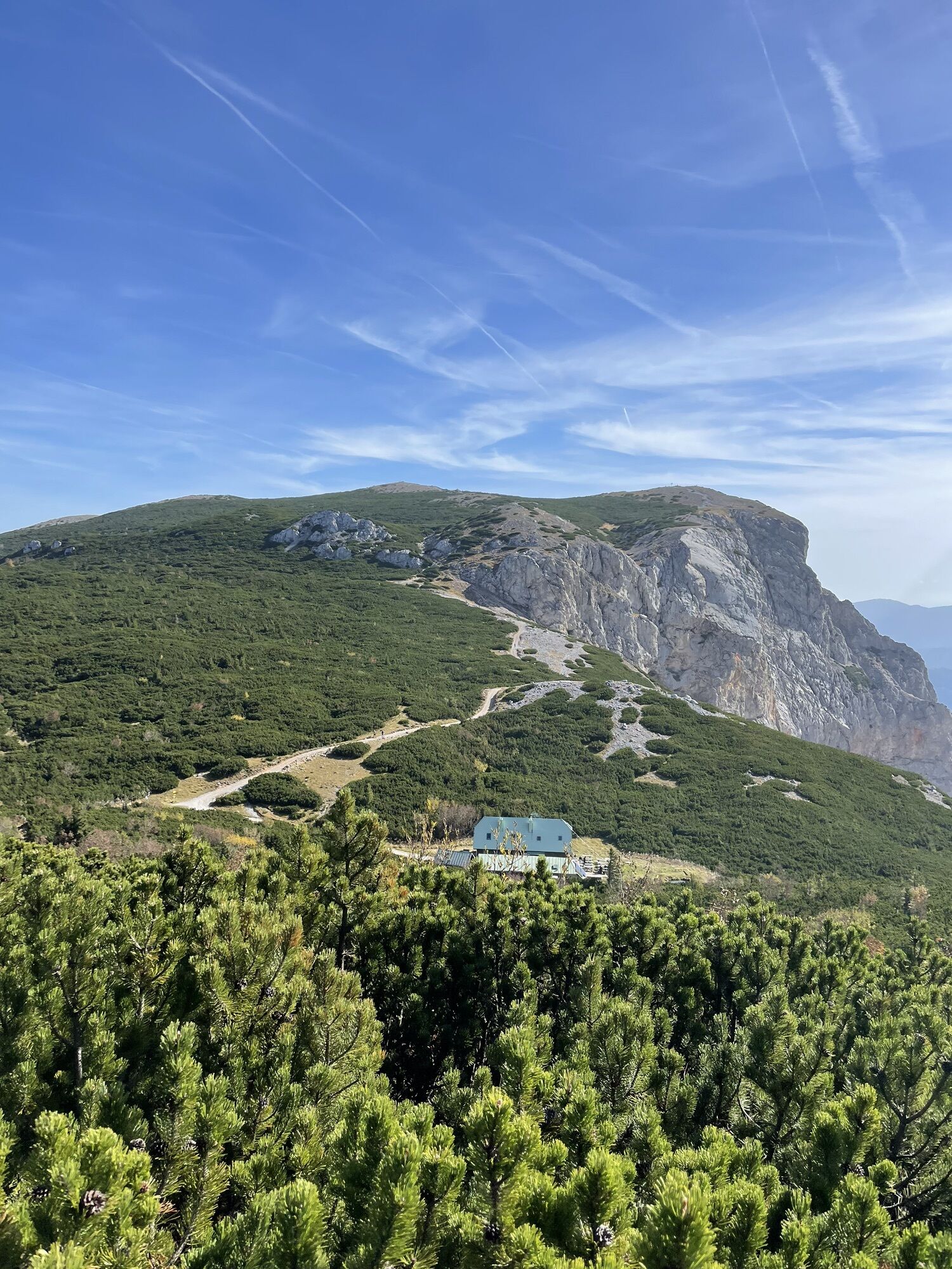
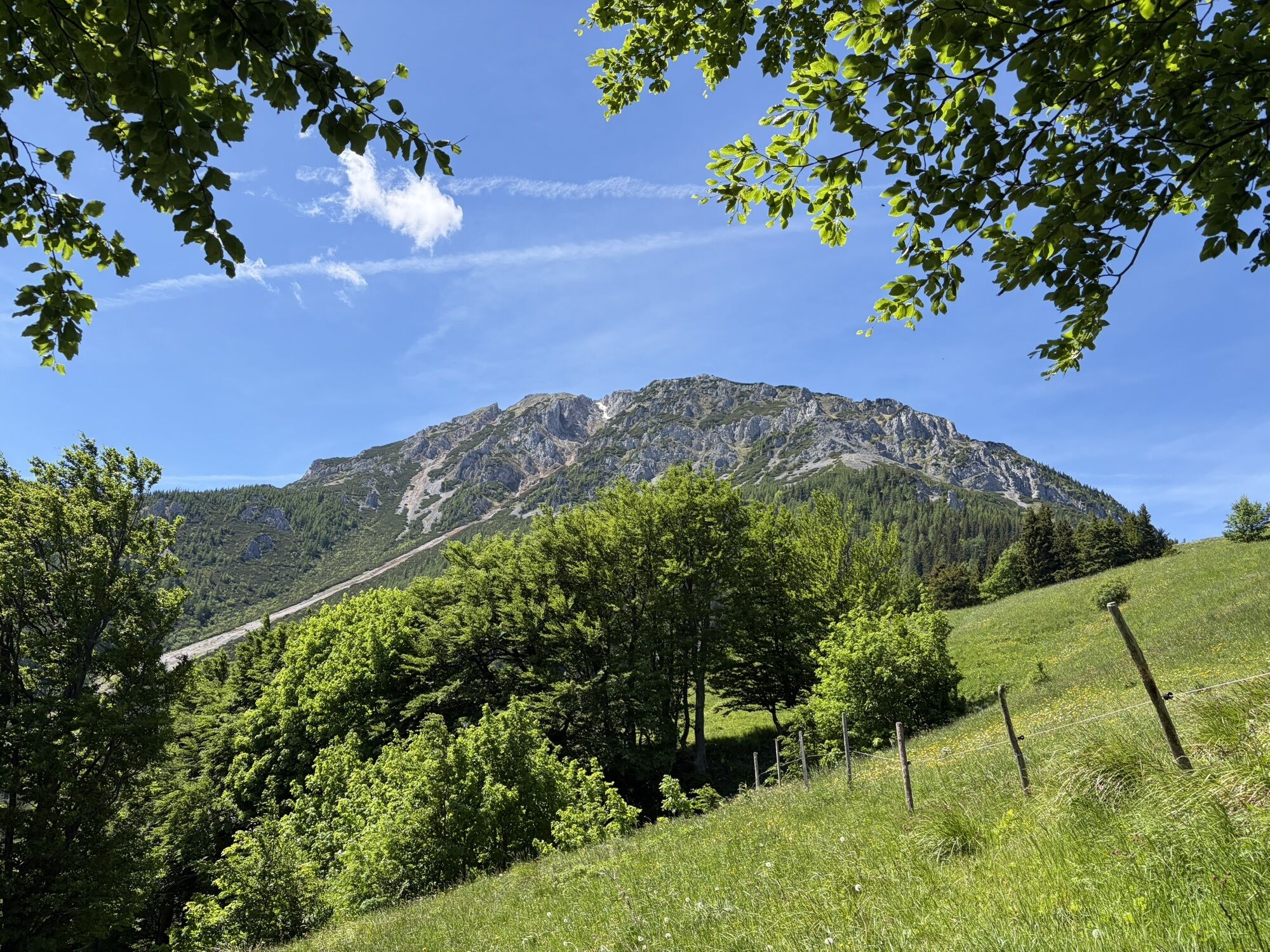
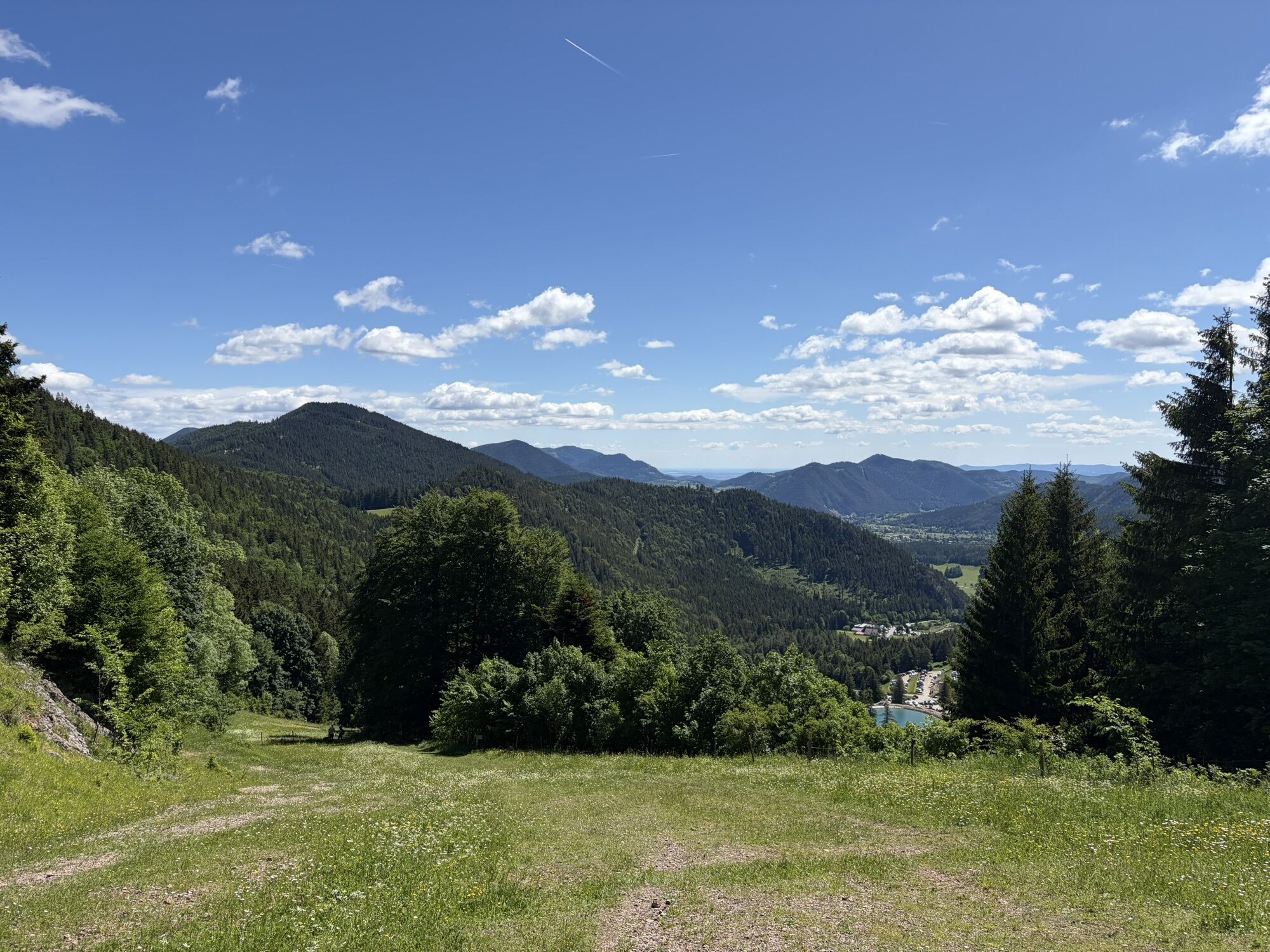
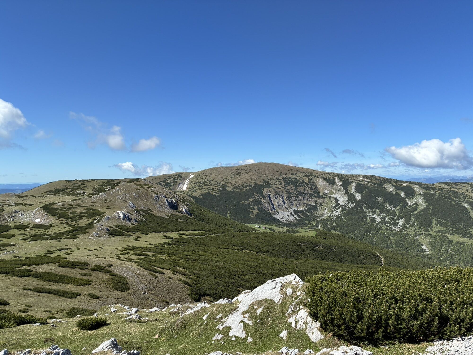
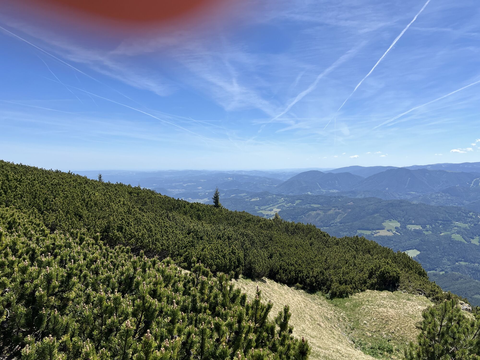
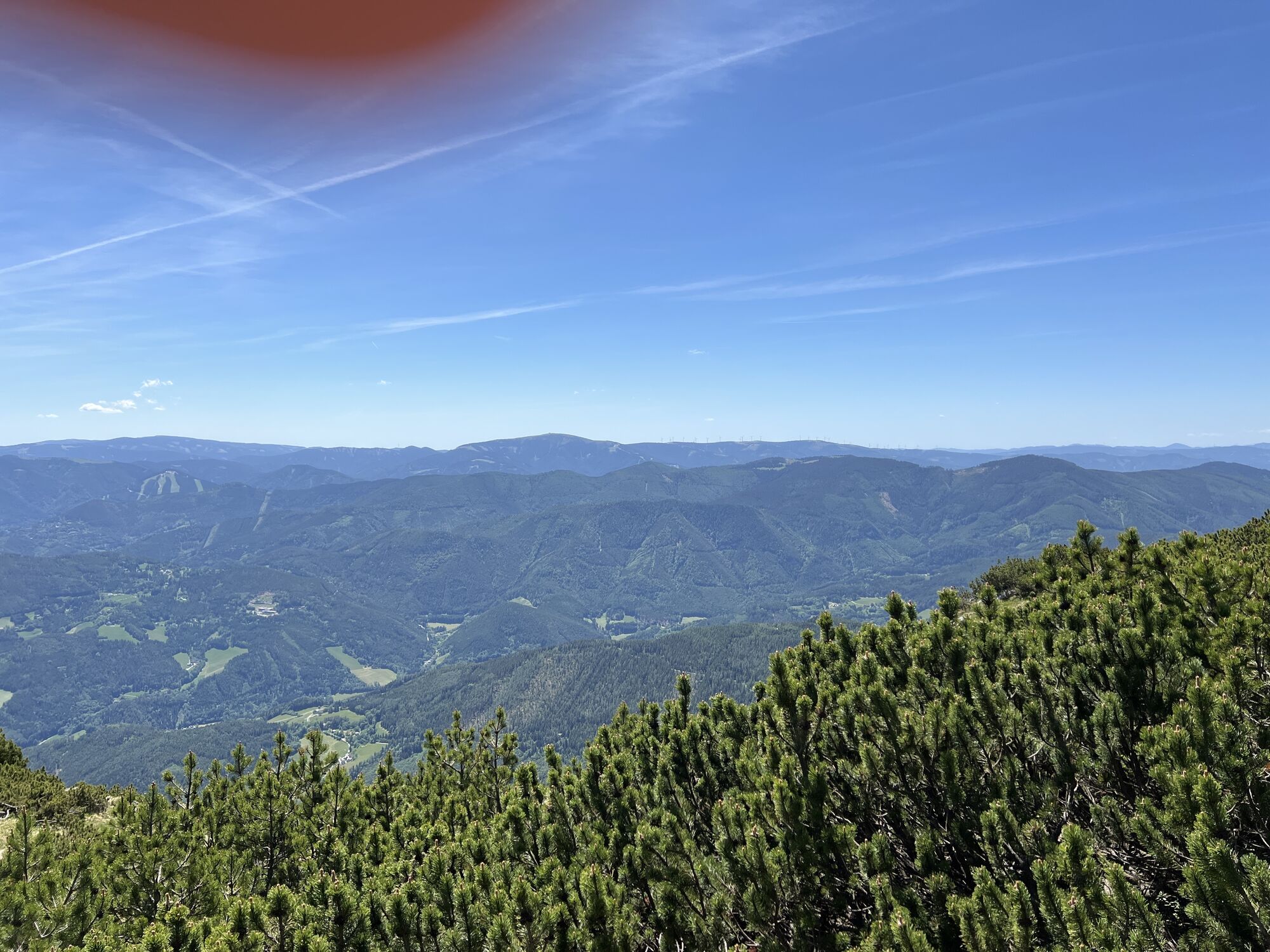
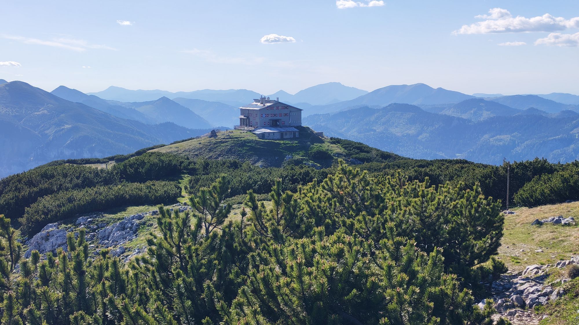
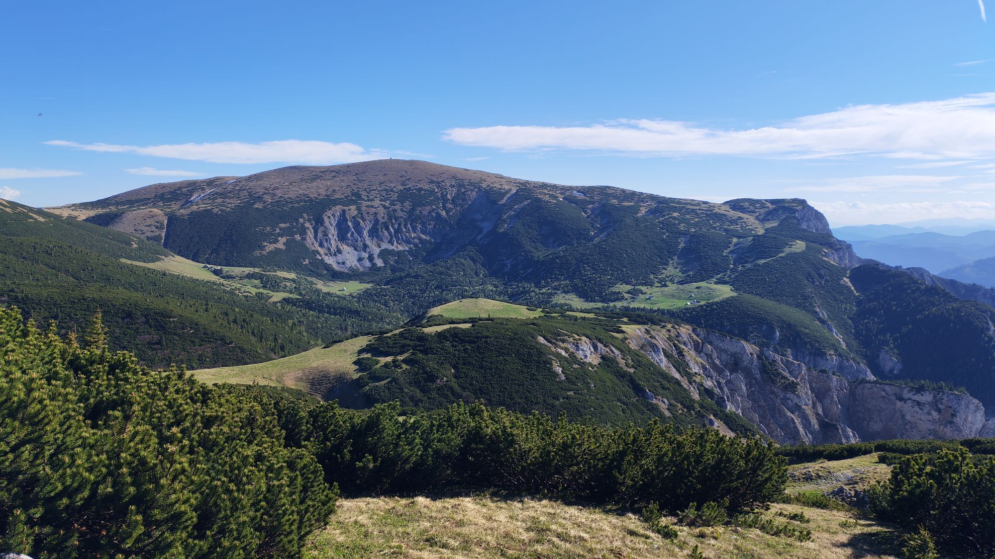
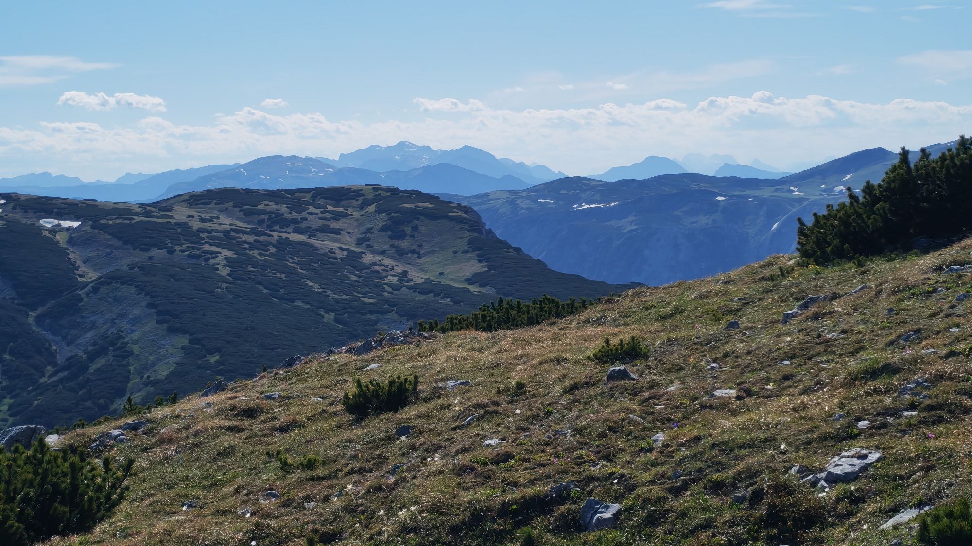
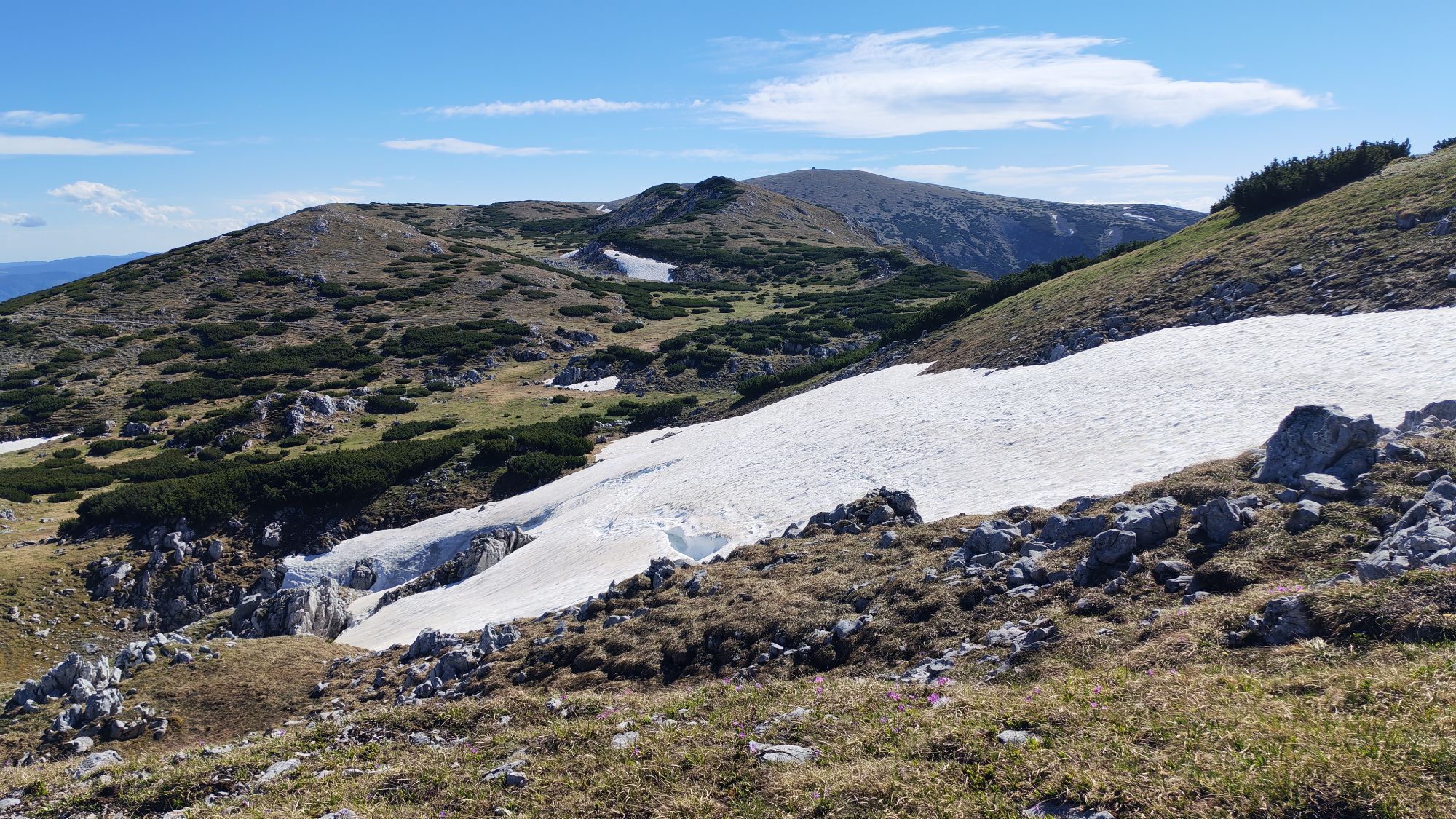
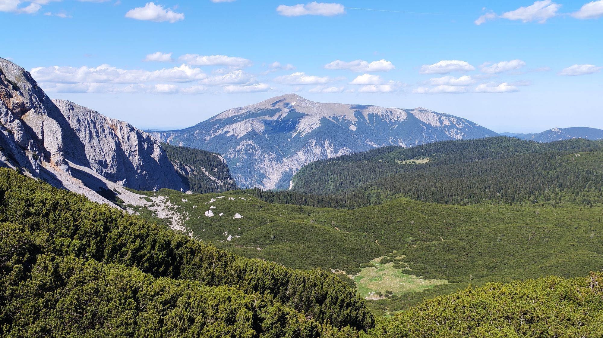
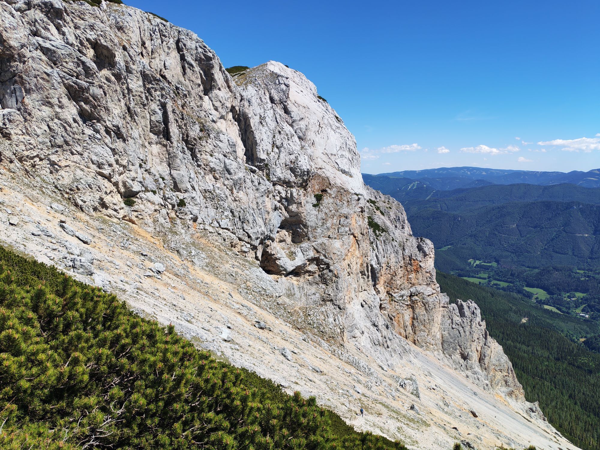
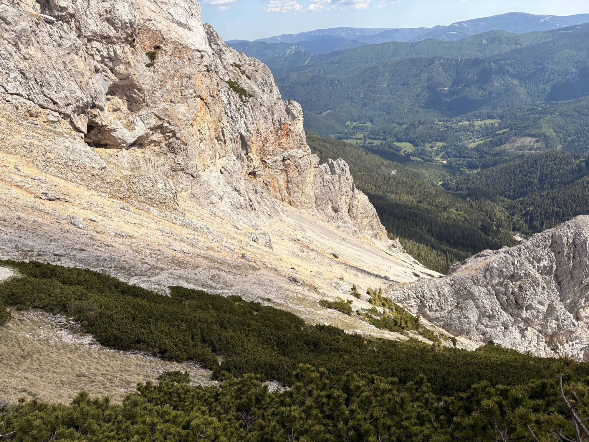
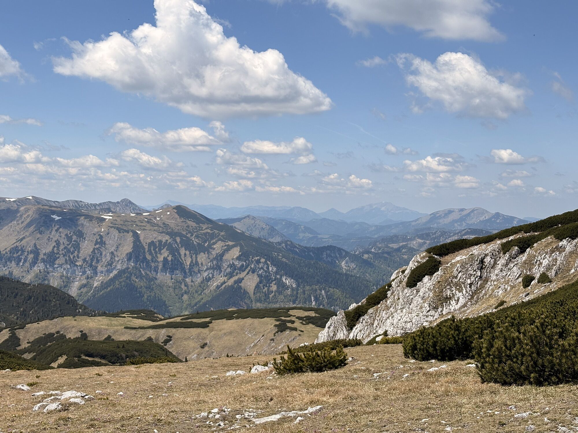
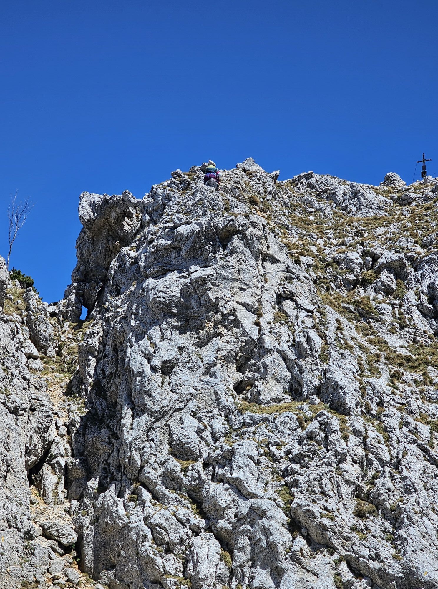
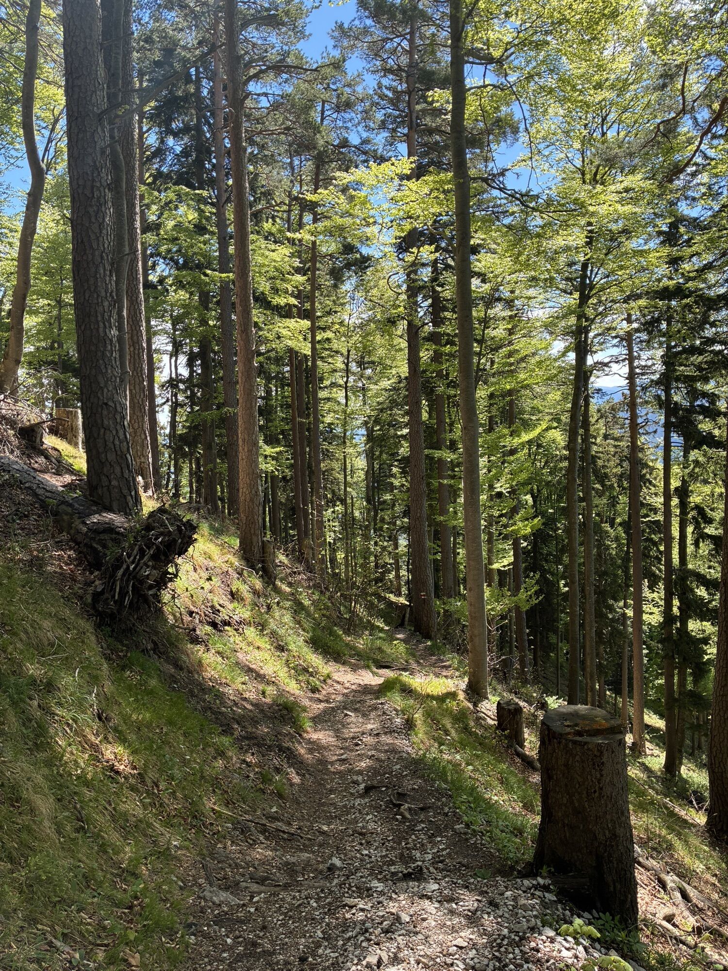
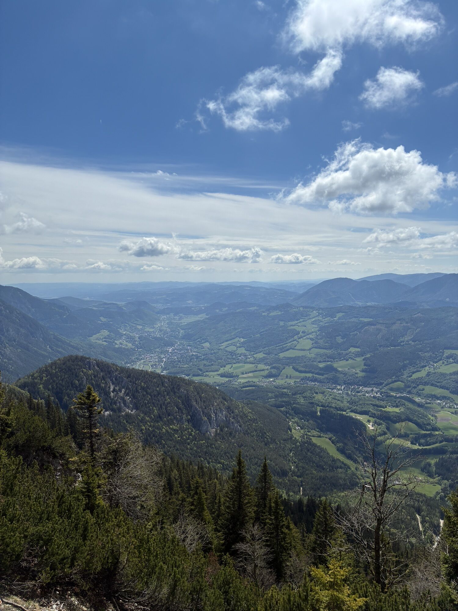
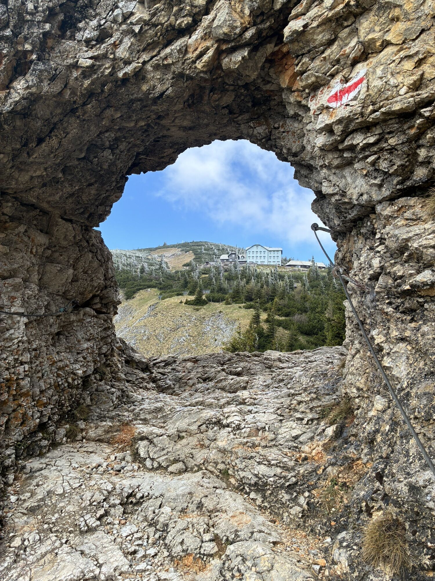
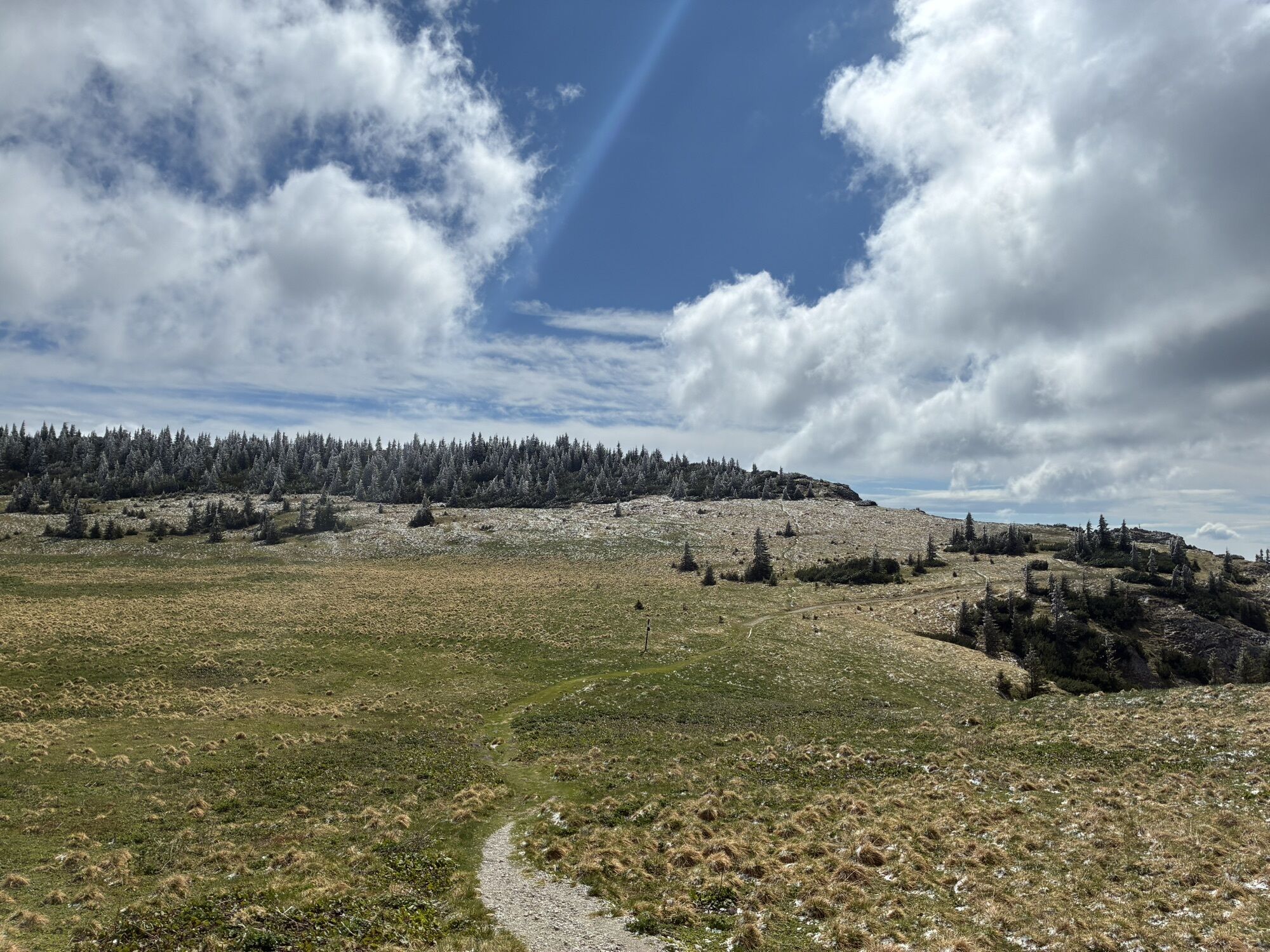
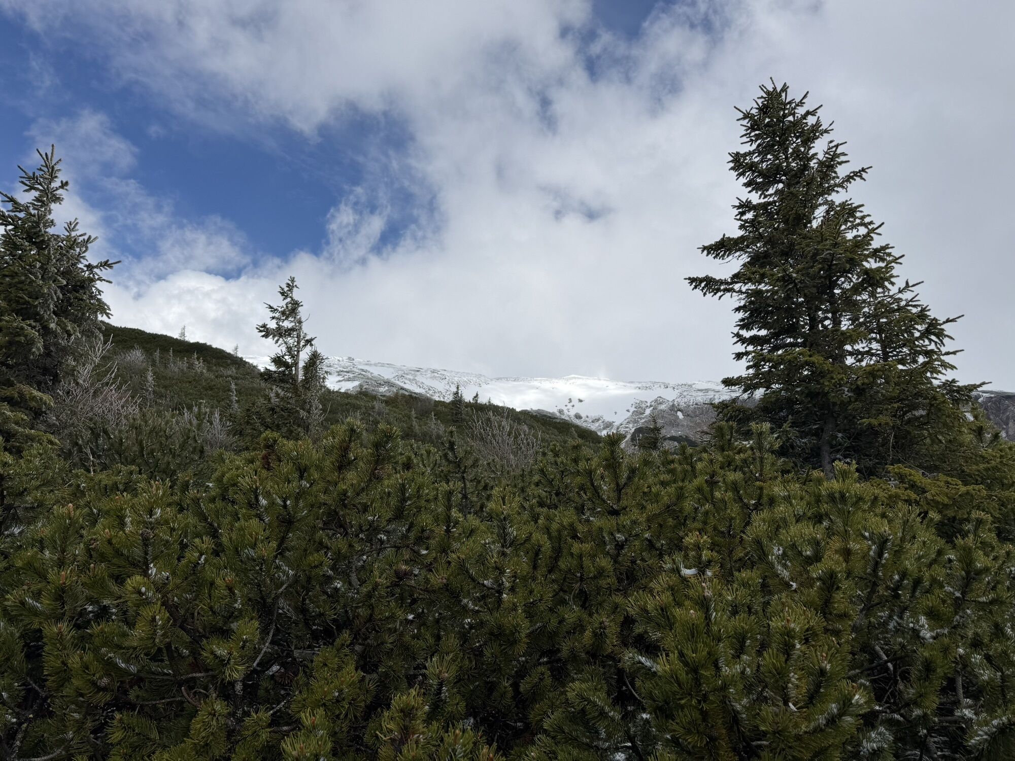
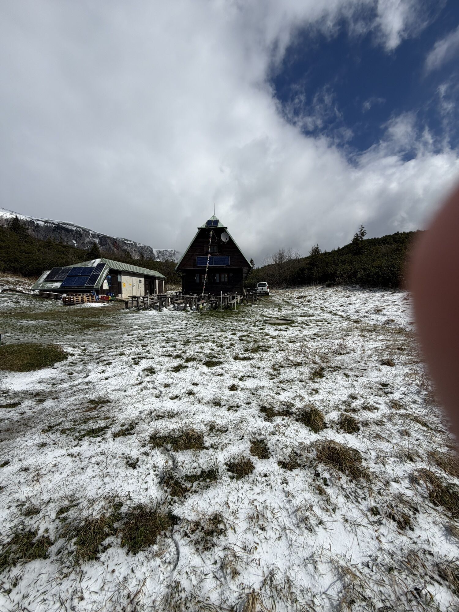
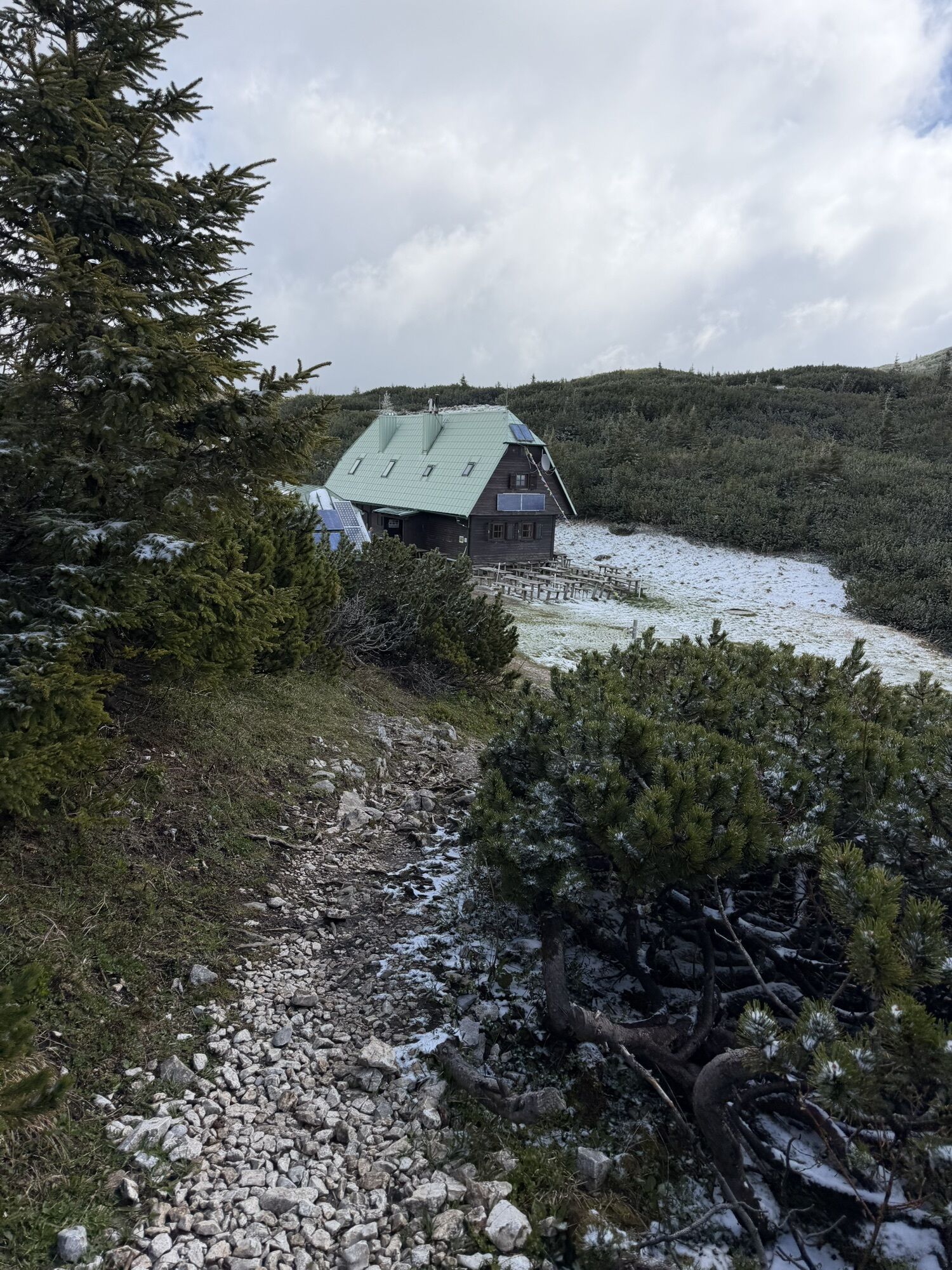
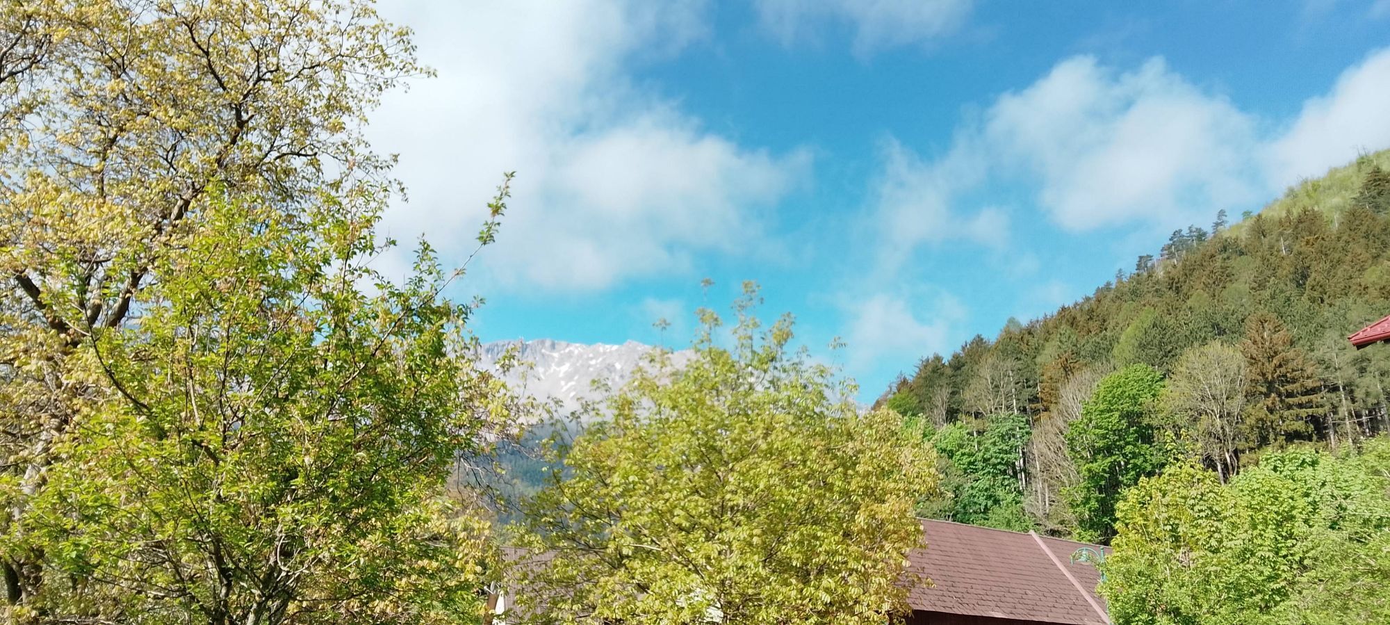
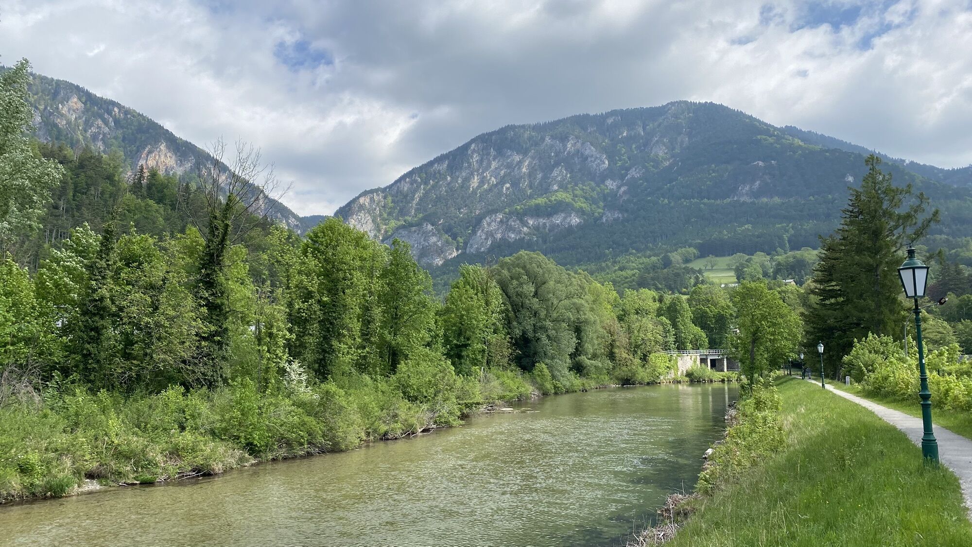
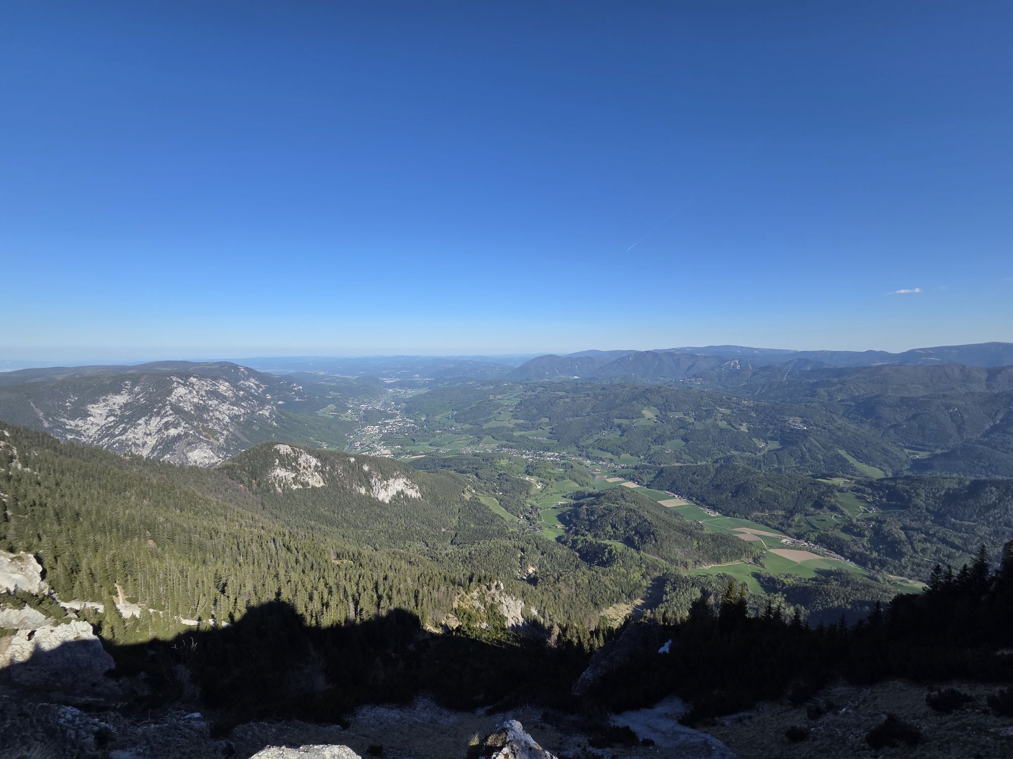
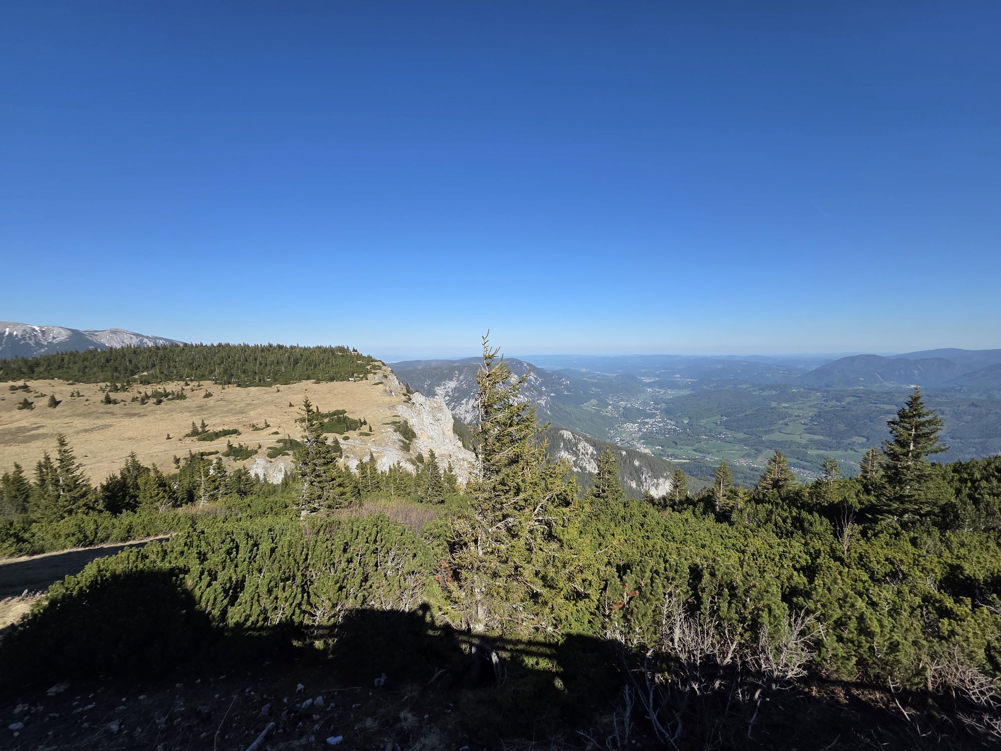
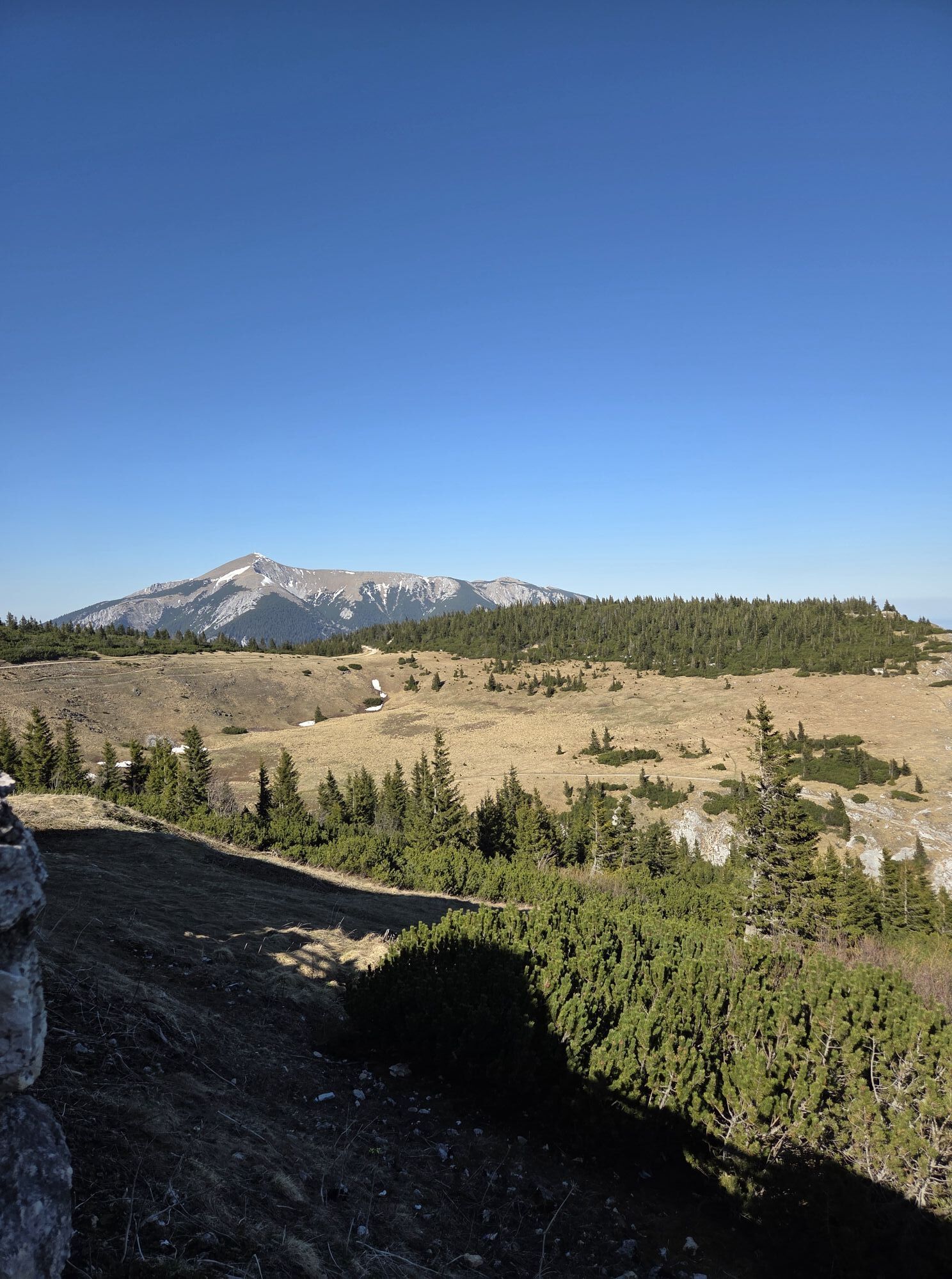
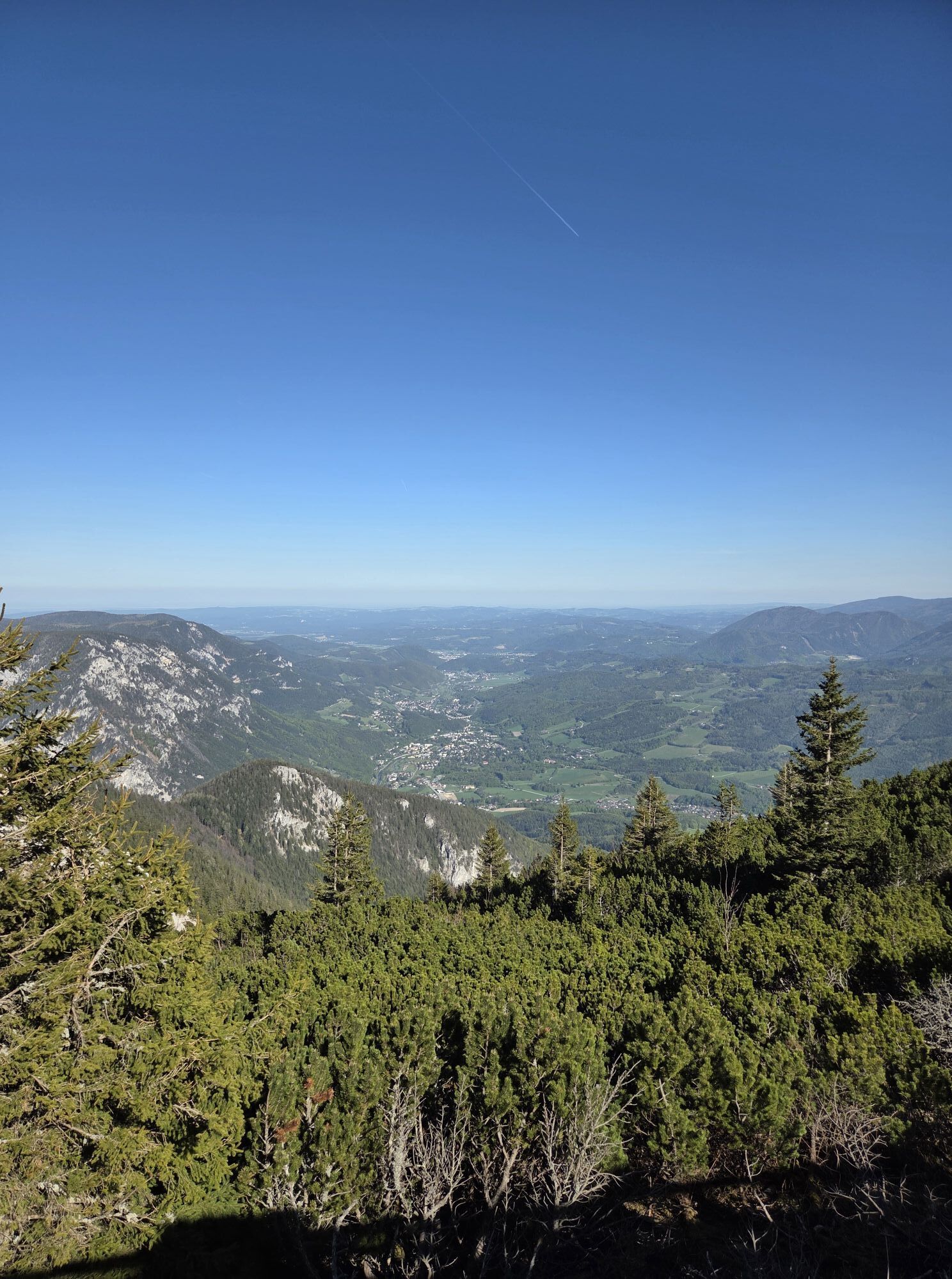
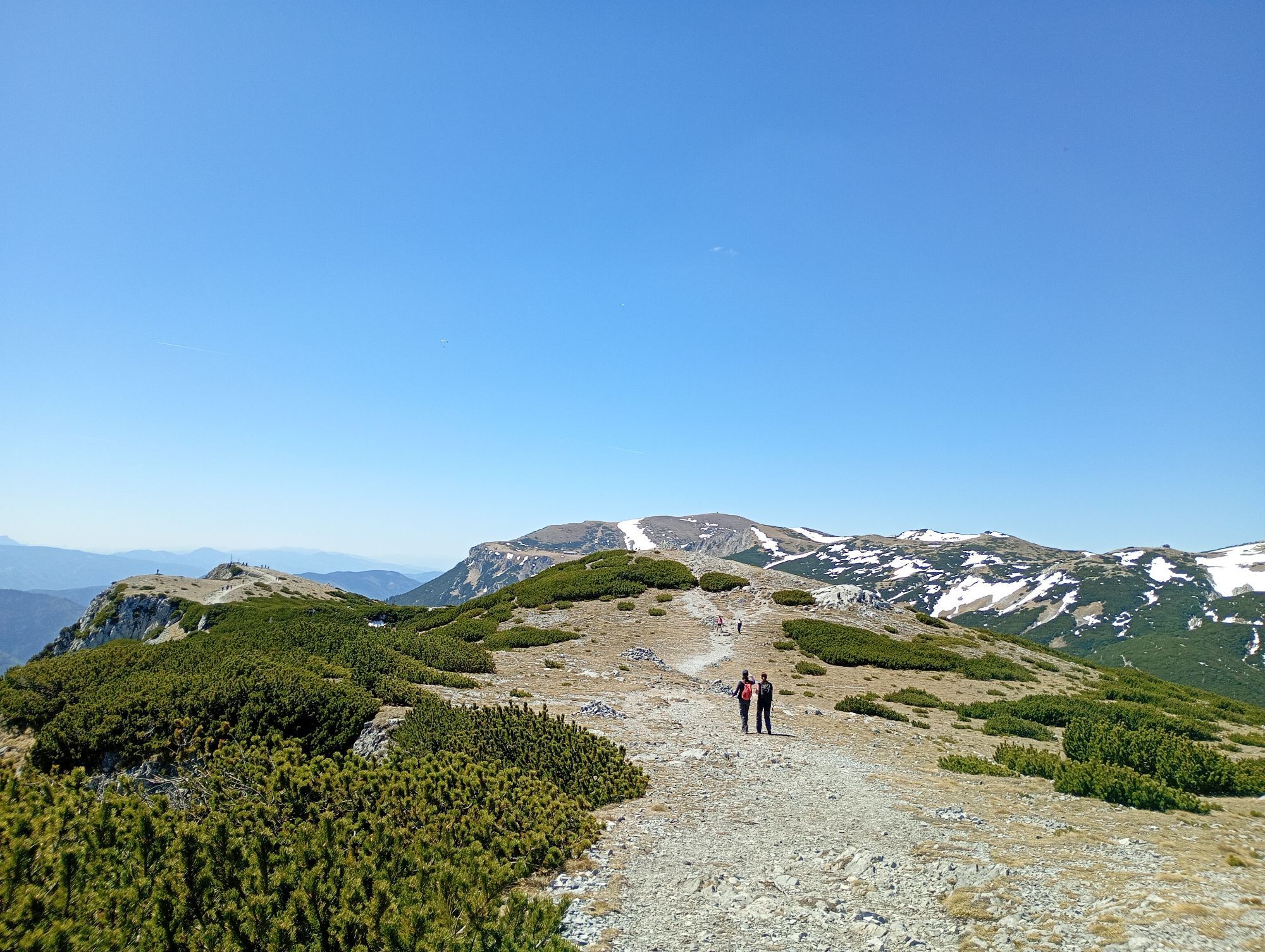
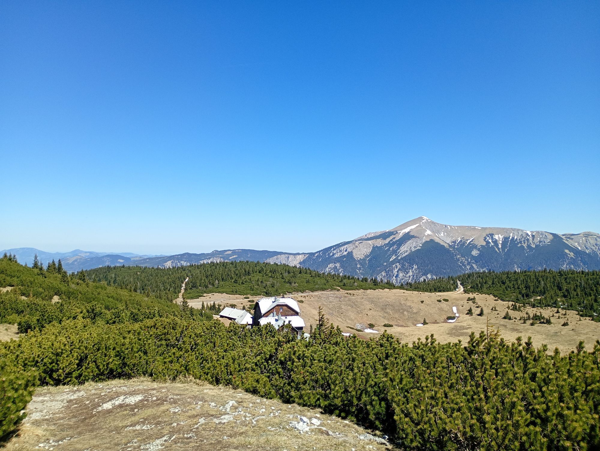
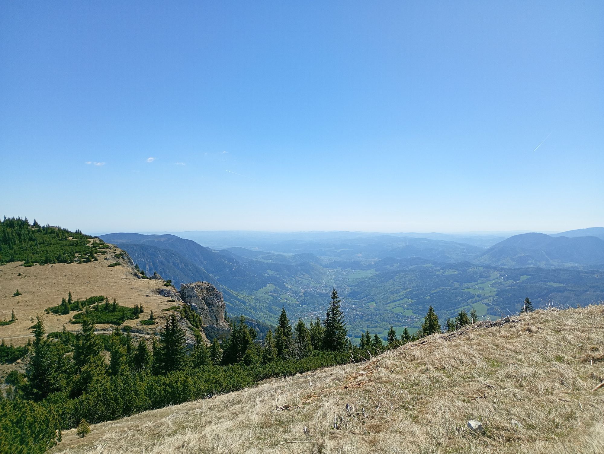
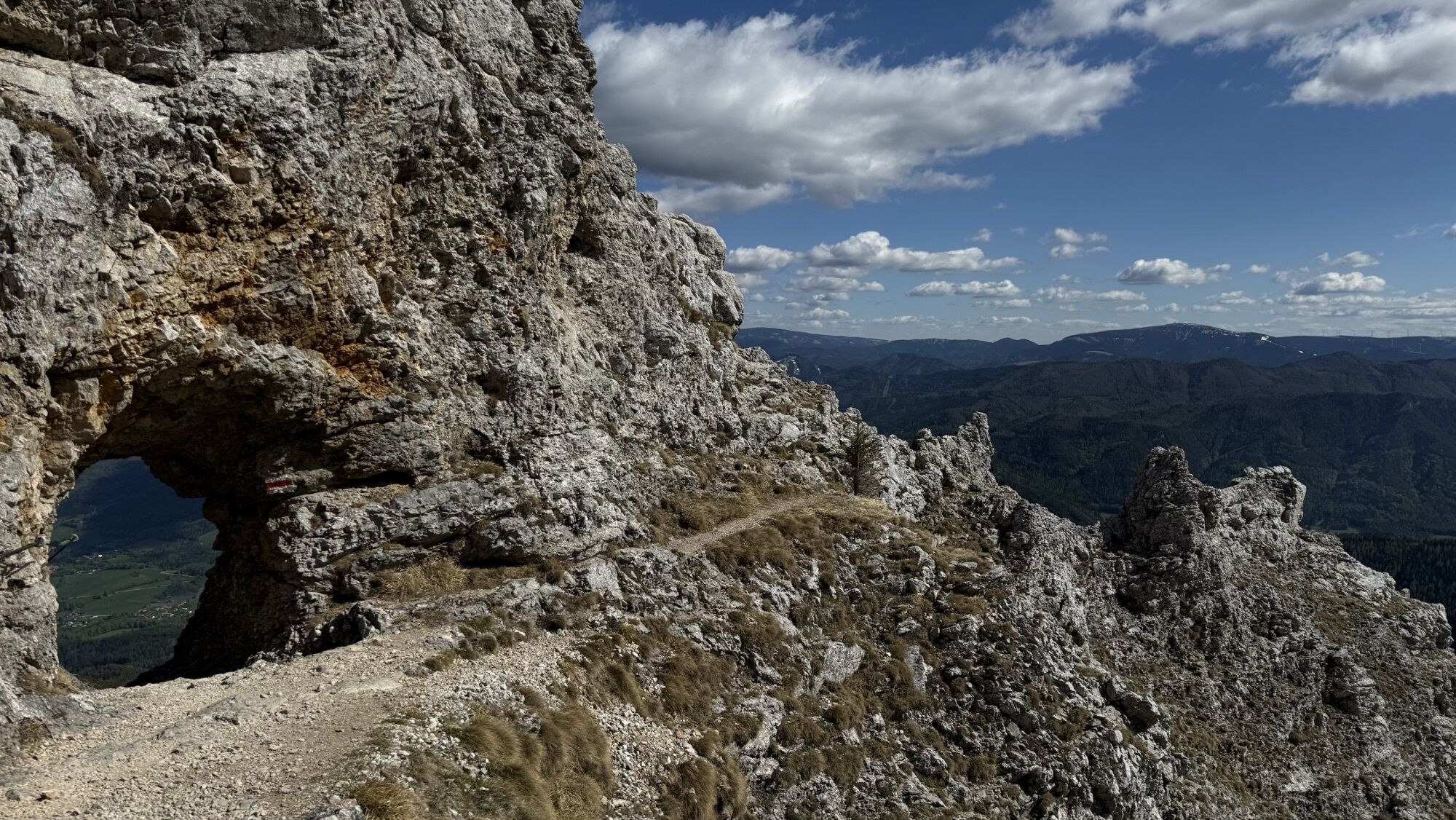
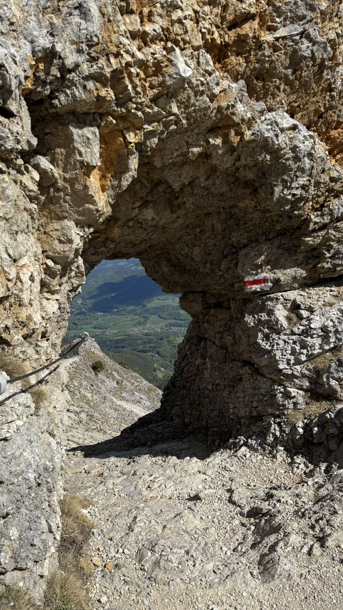
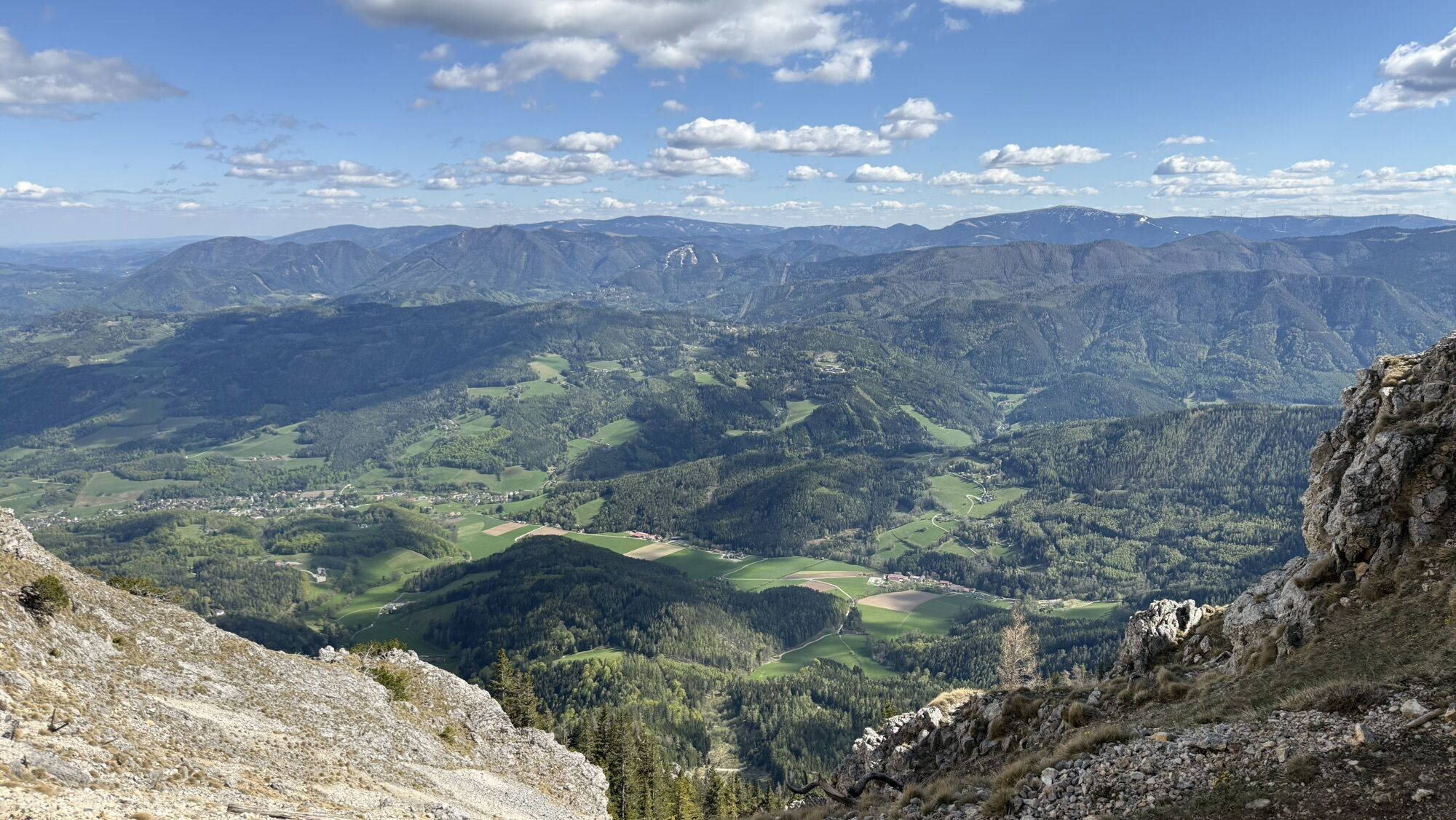
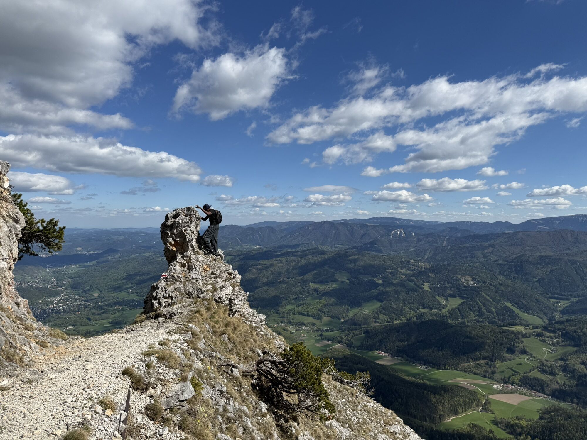
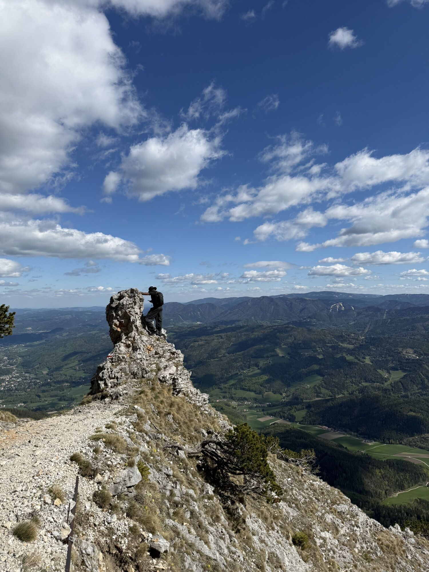
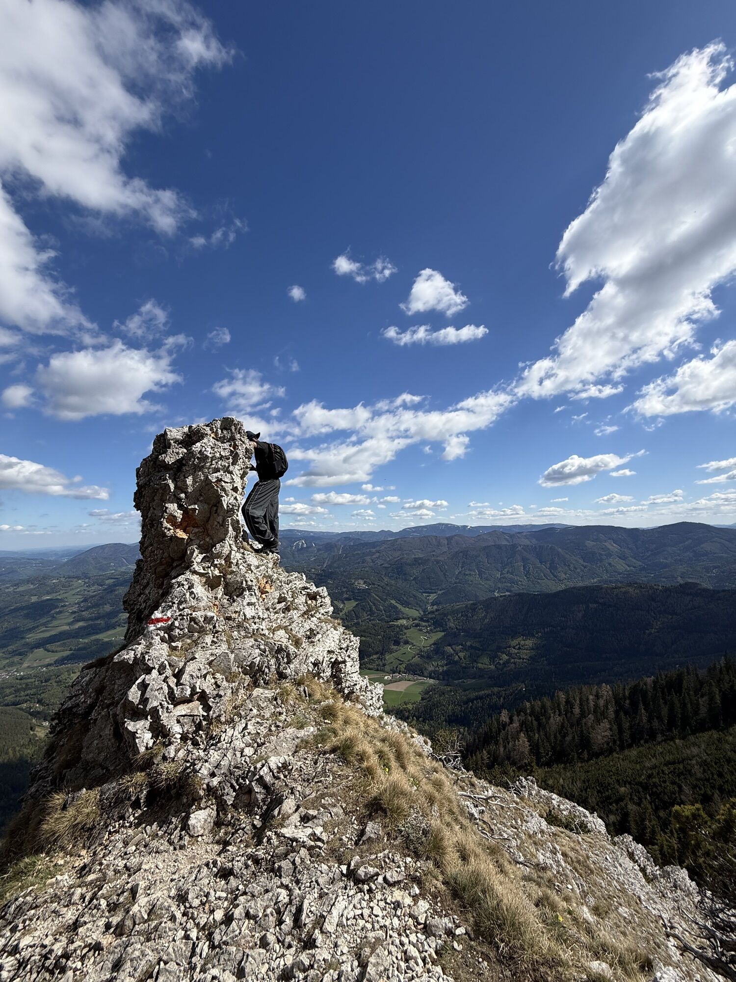
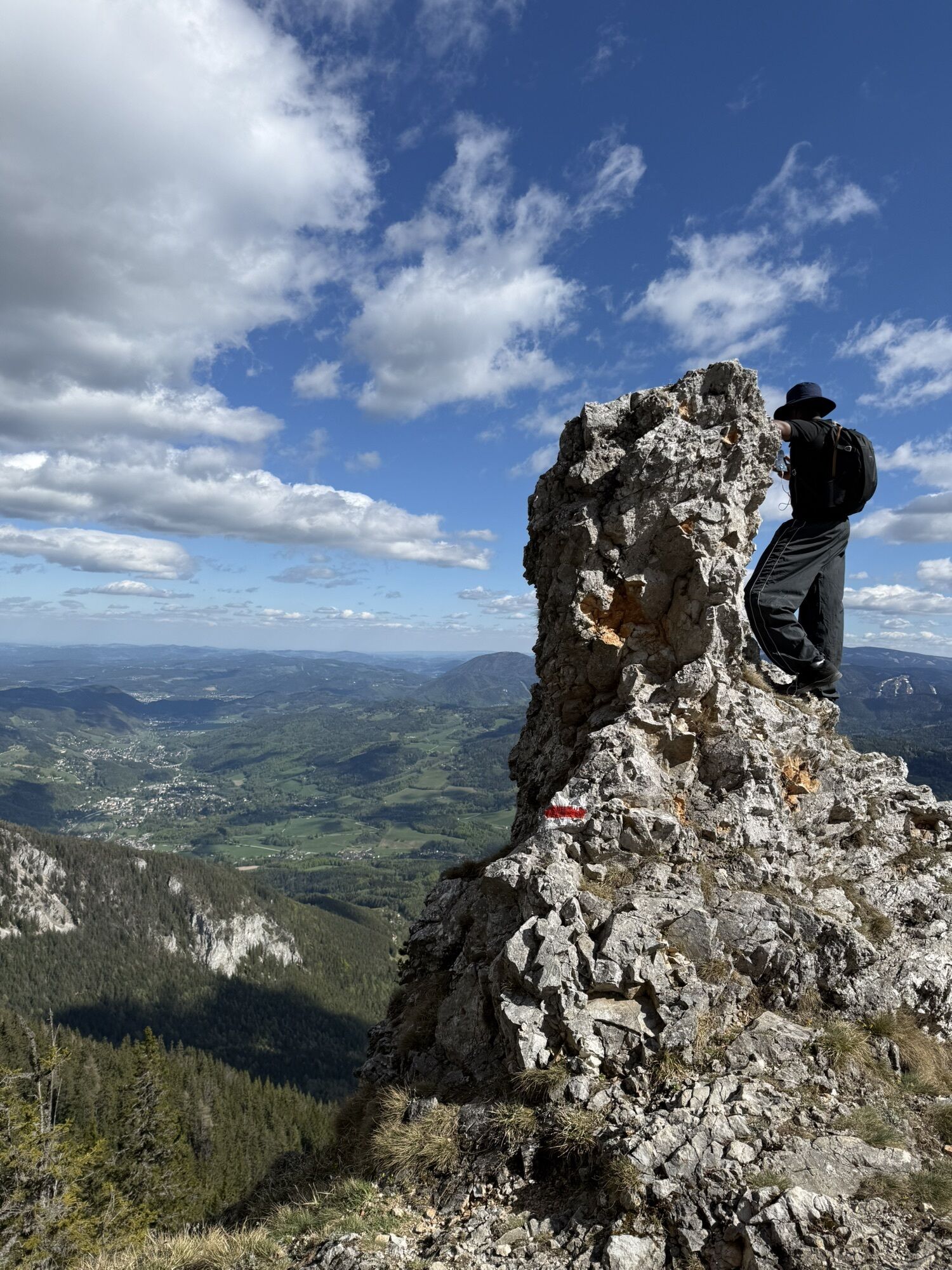
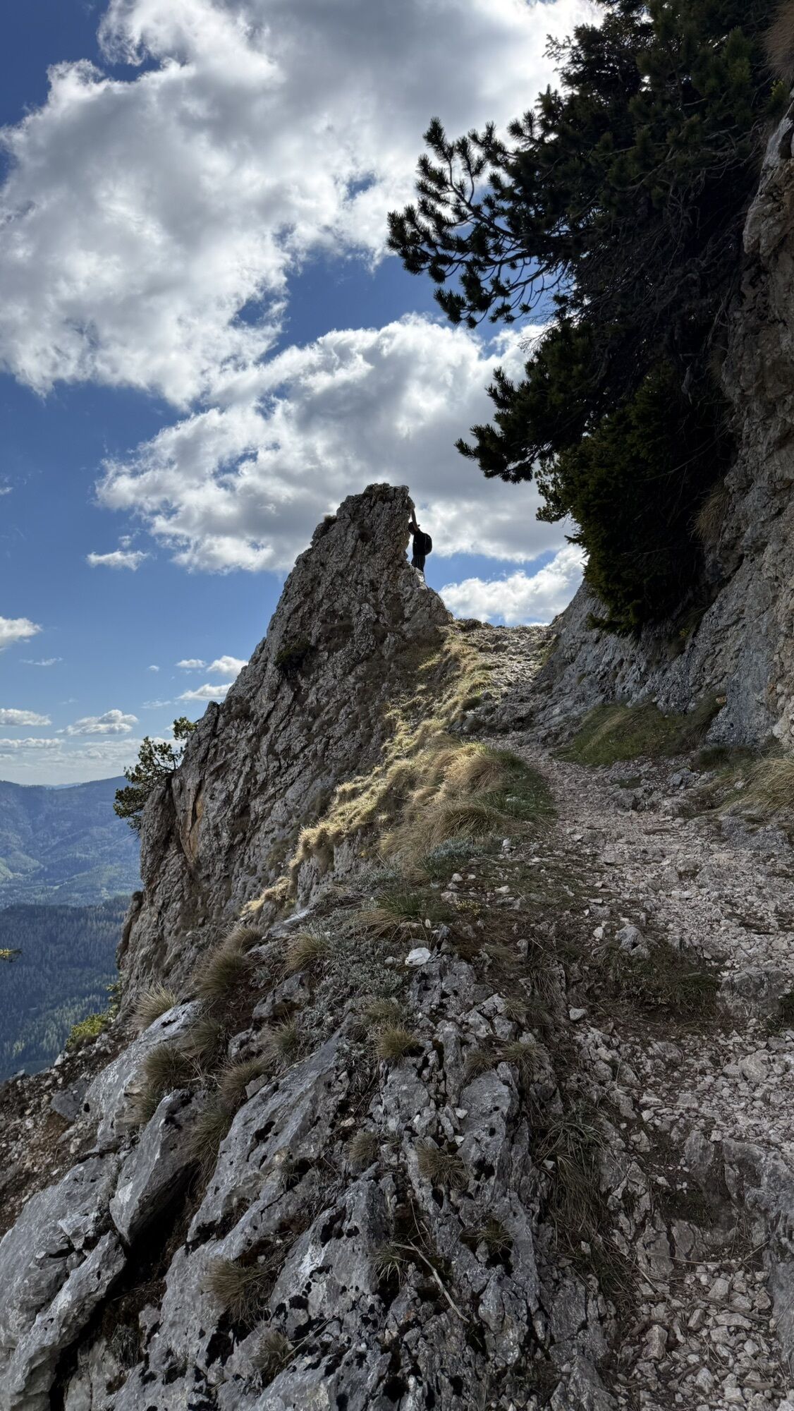
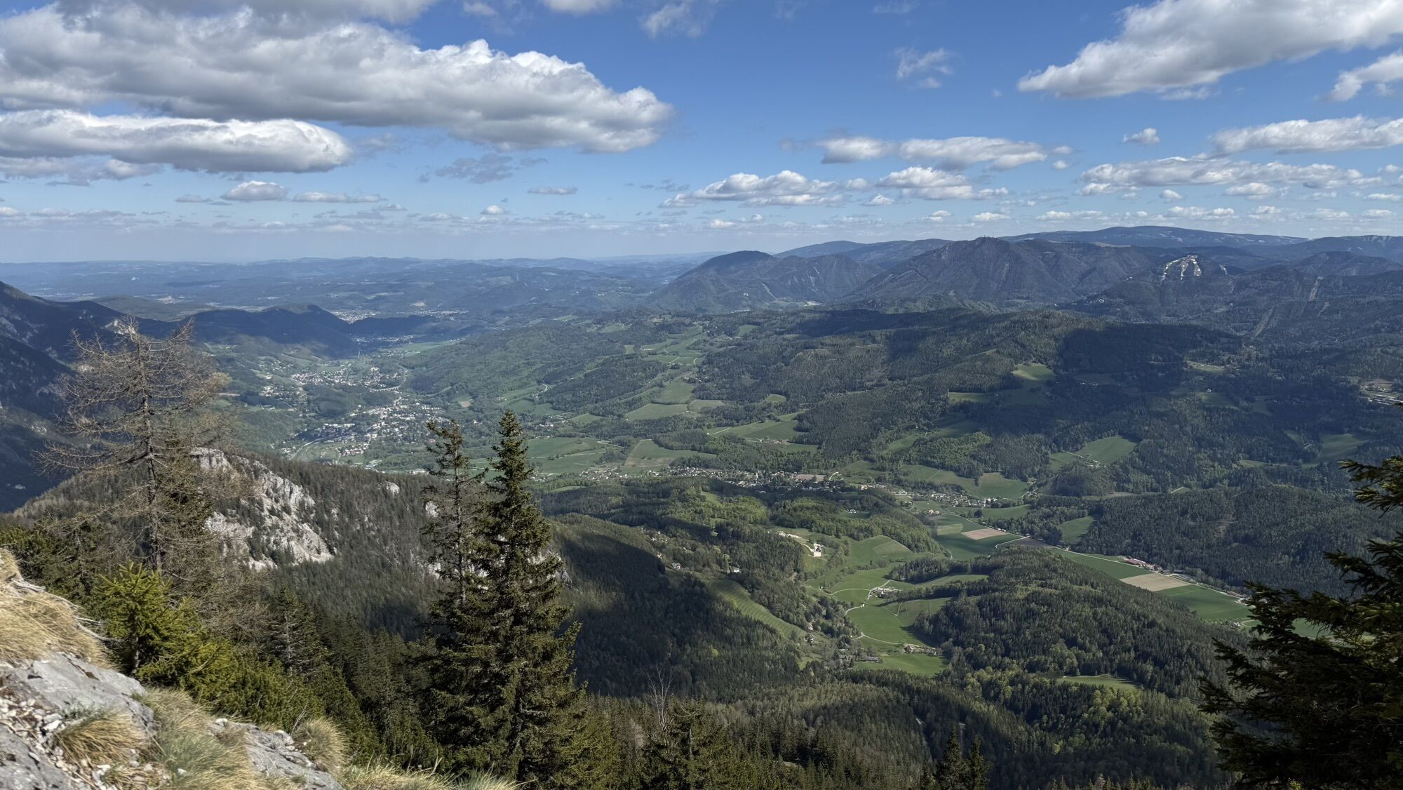
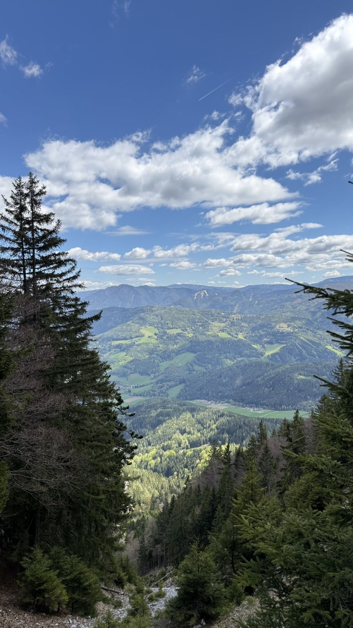
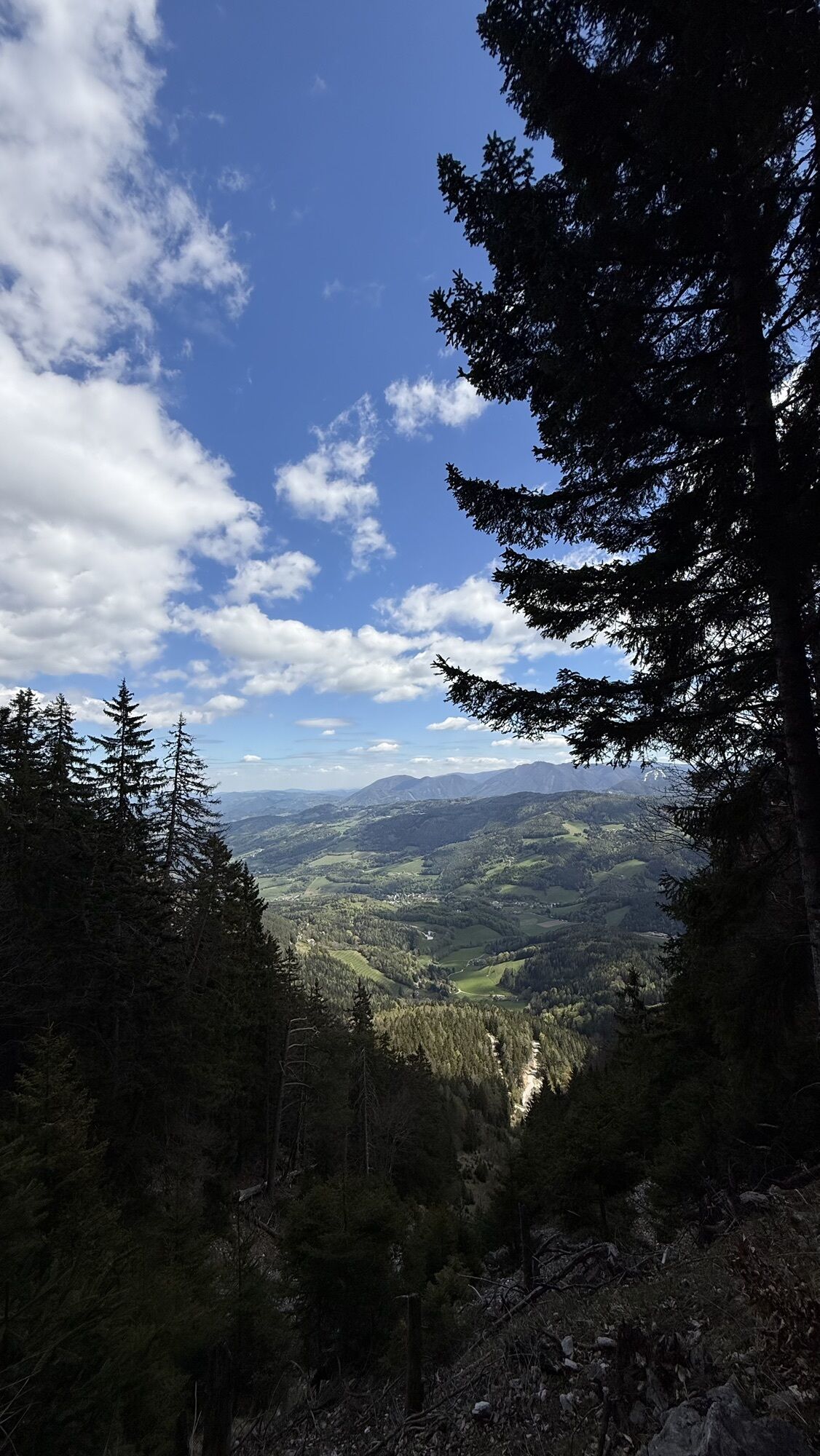
<p>Arriving at Payerbach-Reichenau station, we get information from the hiking start board about the route on the Wiener Alpenbogen. We walk past the bus parking lot and shortly after turn right onto the railway path. Keeping right, we hike to the Payerbacherhof, cross the federal highway and the Schwarza river. In front of the Alber patisserie, we turn right. Passing the pavilion and the outdoor pool, we go under the railway viaduct and follow the pedestrian and bike path next to the Schwarza. At the parking lot, we turn right towards the federal highway and cross it through the mountaineers’ village Reichenau an der Rax. At the roundabout, continue straight ahead passing Villa Wartholz on the right. We leave the road junction to Prein on the left but turn left after a few meters. Passing the Seminar-Park-Hotel Hirschwang, we follow the first signposts to the Ottohaus, one of the excellent huts in the Wiener Alpen. Slightly uphill, we turn left onto Trautenbergstraße and follow the farm road uphill. At the beginning of the dead end, we change half-left onto a red-marked hiking trail and follow it through dense coniferous forest to the junction at Ausschüttanger. Here we turn right to Knappenhof, walk past it on the meadow path on the right, and continue up the forest road. We pass the Huthaus and follow the signposts to Törlweg. Fresh spring water gushes from the Lammel-Bründl, past which we hike steadily uphill. The path becomes rockier and more stony, with some switchbacks slowly leading us to more scenic heights. After a right bend, we see the stone Törl, and to the left towers the Otto-Schutzhaus. A cable safety system is in place on the ascent to the Törl. After a long left turn over meadow paths, we reach a gravel path that leads directly to the Ottohaus. From the terrace, there is a fabulous view.</p><p>After a restful night, we cross the terrace at the Ottohaus and follow the stony path slightly uphill past the Fritz-Benesch monument. The blue trail leads us towards Jakobskogel and Preinerwandkreuz to the Vilma-Haid viewpoint. From here, we climb a few more meters steeply uphill, then the path becomes more moderate with mostly magnificent views. A short detour to Jakobskogel with panoramic views is also worthwhile. The ridge path leads partly rocky, partly earthy to Preinerwandkreuz. We walk slightly downhill on the gravel path, already seeing the roof of the New Seehütte, and turn left at the upcoming junction to the Seehütte. After a refreshing break at the Seehütte (no overnight stay), at the wooden signpost fork, we take the path towards Trinksteinsattel and Habsburghaus. Marked in red, we climb about 200 meters uphill and arrive at Trinksteinsattel. On the left is the mountain rescue hut, providing shelter in emergencies. Passing Jahnkreuz, we look towards the Habsburghaus. We can either visit the house or shortly before it turn right on the hiking trail towards Schüttersteig. We descend the Zikafahnlgraben and at a fork in the spruce forest, follow path no. 45 towards Naßbachtal. A few minutes later, we cross Stögerboden and arrive at a forest road. We follow it, gently uphill at an intersection with a right curve. Red markings alternate between forest roads and meadow paths. We turn left at Schütterhütte and at the end of the forest road (turning place) change to the narrow Schüttersteig. Narrow traverses characterize the upper part of the path, with occasional views into Naßbachtal. We follow the hiking trail down into Naßbachtal and now follow the road along the brook to Naßwald. In the inn Zum Raxkönig we find a place for the night (closed Monday, Tuesday).</p><p>On the third day, we initially continue on the road to Reithof, but before a bridge, we leave the road half-left into a dead end near a business area. On the left, the Hubmer grave can be visited, referring to the two founders of Naßwald, Johann and Georg Hubmer. We hike past a small hydropower plant onto a private road and cross a wooden bridge to a gravel road. We follow this uphill through the roaring Preinbach valley into Preintal. Markings and signposts also show the way to Mariazell. However, we leave Mariazell on the left and turn right at the asphalt road in Preintal towards Schwarzau. We hike uphill past Mitterhof (overnight possibility), the Eckbauer farmstead and a chapel. From here, the road goes downhill to Schwarzau im Gebirge. Past the Bacherlwirt (refreshments, overnight stay), we stroll along the canal to the Schwarza. Before the bridge, we turn right onto a cart path. After about ten minutes, we cross the Schwarza via a wooden bridge. We walk briefly right along the federal highway and after 200 meters at a bus stop and chapel turn left onto a forest road. Fifteen minutes later a forest road branches straight ahead, but we continue to the left curve of the later marked forest road. We climb to a small alpine area, marvel at a natural monument, and can take a short break at the blueberry spot. Following a game path towards Vois, we then take a gravel road downhill and turn right onto a pasture 50 meters after a left bend. We walk down the meadow path into the Vois valley. We follow the road in the Vois valley for 45 minutes to Wegscheidhof with a rest area and information board. Here we switch to the red-marked hiking trail towards Edelweißhütte. Initially, we climb uphill through open forest and, well marked, to the Putz chapel and follow the gravel road. At a gentle left bend of the gravel road, a steep forest trail branches off on the right. We follow the route of the Piestingtaler circular hiking trail 231 through dense deciduous forest uphill through a water trench and on steep gravel paths. We leave the forest, cross lush alpine meadows and follow the paths on the steep meadow slope uphill to the Edelweißhütte at Fadensattel.</p><p>From the Edelweißhütte, we continue on the gravel road towards Almreserlhaus, halfway at Fadensattel we turn right off the Wiener Alpenbogen path and take the Regional Route P downhill to Puchberg am Schneeberg. We ascend the Weiden crossing and follow the yellow-marked path downhill. The forest path leads us past a viewpoint bench to a piste, which we follow briefly downhill before descending further on forest paths. Past the valley station of the chairlift, we hike downhill on the road and turn left at Gschaiderhof. Passing the farmstead, we soon turn right onto the blue-marked hiking trail on the left side of the ravine. The path leads back onto the road.</p><p>We walk past the ruins of Losenheim, cross the Losenheimer Bach and shortly afterward turn left onto a cart path towards Puchberg. The yellow-marked path leads us past a farmstead via Sebastianbach to a road, where we turn right. We continue on the main road but leave it straight at a right curve onto a narrower road. We follow the road, turn right at a transformer station towards Puchberg and see the red markings of the Burgenland Mariazellerweg. We continue following this path to Puchberg.</p><p>In the settlement of Mittering, we turn left at house no. 47 into Größenbergweg. Alternately on farm roads and cart paths, we hike to a pasture which we cross keeping right and continue on Römerweg towards the station. Almost at the end of Römerweg, we turn right into Paradiesweg. In front of Kurhotel Wanzenböck, we turn left into Siebertweg and reach Puchberg station. To the other side, you can get either left via the railway overpass at the federal highway or right via the narrow crossing near the Schneebergbahn.</p>
<p>Mountain-appropriate equipment absolutely required!</p><p>Please note that this tour leads into high alpine terrain. Always bring suitable maps. Wear sturdy shoes adapted to the tour, take sun and rain protection, as well as water and a small snack. Take your mobile phone and save the mountain rescue emergency number: 140</p>
<p><strong>Safe in the mountains</strong></p><p>Your hikes in the Wiener Alpen should be a fully nice and safe experience. Please therefore consider the following:</p><p><strong>Preparation </strong></p><p>Make sure that the chosen route matches your mountain experience and your <strong>fitness</strong>. Check the <strong>weather report</strong> beforehand. Weather in the mountains can change surprisingly fast. Therefore, always start well equipped (e.g., rain protection).</p><p>Check if the <strong>huts and snack stations</strong> you want to visit are open. <strong>Inform</strong> someone about your chosen route and planned return before setting off.</p>
<p>From Vienna on the A2/ from Graz on the S6, exit the motorway at Gloggnitz. Continue on the B27 following signs to Payerbach/Reichenau.</p>
<p>Take the train, for example via Wiener Neustadt, to Payerbach-Reichenau station.
</p><p>More info at: <a href="www.oebb.at">www.oebb.at</...
<p>Parking available at the station.</p>
Wiener Alpen in Lower Austria, www.wieneralpen.at, +43 / 2622 / 78960
Tourism Office Reichenau an der Rax, www.reichenau.at, +43 / 2666 / 52206 25
Tourism Office Puchberg am Schneeberg, www.puchberg.at, +43 / 2636 / 2256
Day 1: Arrival by train in the morning. Alternatively, there is the possibility to take the Rax cable car from Hirschwang to the plateau and hike from the mountain station on foot to the Otto-Schutzhaus. Information about alpine flora can be learned in the alpine garden near the Ottohaus.
Day 2: Stopover at the Habsburghaus; sightings of alpine salamanders are not uncommon in wet weather. Overnight stay at the inn Zum Raxkönig in Naßwald.
Day 3: Dining opportunity at Bacherlwirt in Schwarzau; otherwise, no restaurants until the Edelweißhütte directly on the path.
Day 4: Short hike to Puchberg/Schneeberg. Recommended dining at Forellenhof or detour to Wasserfallwirt near Sebastian waterfall. Return journey by train from Puchberg am Schneeberg.
Obľúbené výlety v okolí
-
4,6
Losenheim: Edelweißhütte - Fadensteig - Fischerhütte
strednáTuristika 11,5 km -
4,7
Zahnradbahn und Wandern am Schneeberg - Plateauwanderung
strednáTuristika 6,90 km -
4,8
Rax - Heukuppe
Turistika 15,6 km -
4,8
Cultural walk Payerbach-Reichenau
svetloTuristika 7,43 km -
5,0
"Weichtalklamm" über Stock und Stein durch das Höllental - Weichtalhaus - Kientallerhütte 1340m
strednáTuristika 14,0 km -
5,0
Reißtalersteig und Gretchensteig
ťažkéTuristika 8,10 km -
4,4
Familienwanderung auf die Schneealm im Naturpark Mürzer Oberland
svetloTuristika 9,86 km -
4,9
Insider tip: Schneeberg via the Novembergrat
ťažkéTuristika 13,5 km -
4,9
"Schneealpe" - "Windberg 1903m" Rundkurs
strednáTuristika 14,3 km -
4,9
RAX Preiner Gscheid Waxriegel Predigtstuhl Heukuppe Karl L.Haus ret. 20210908
strednáTuristika 12 km
Turistika a stopovanie


Nenechajte si ujsť ponuky a inšpiráciu na ďalšiu dovolenku
Vaša e-mailová adresa bol pridaný do poštového zoznamu.