







WAB - Regional Route F: Kirchberg/Wechsel - Grimmenstein - Maria Schnee
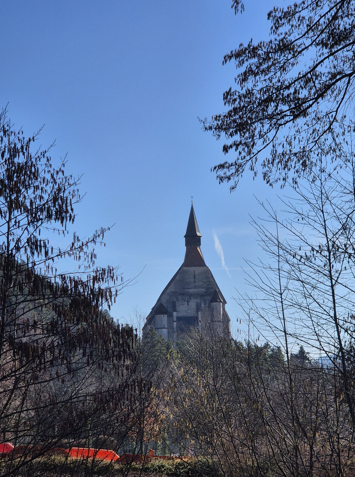

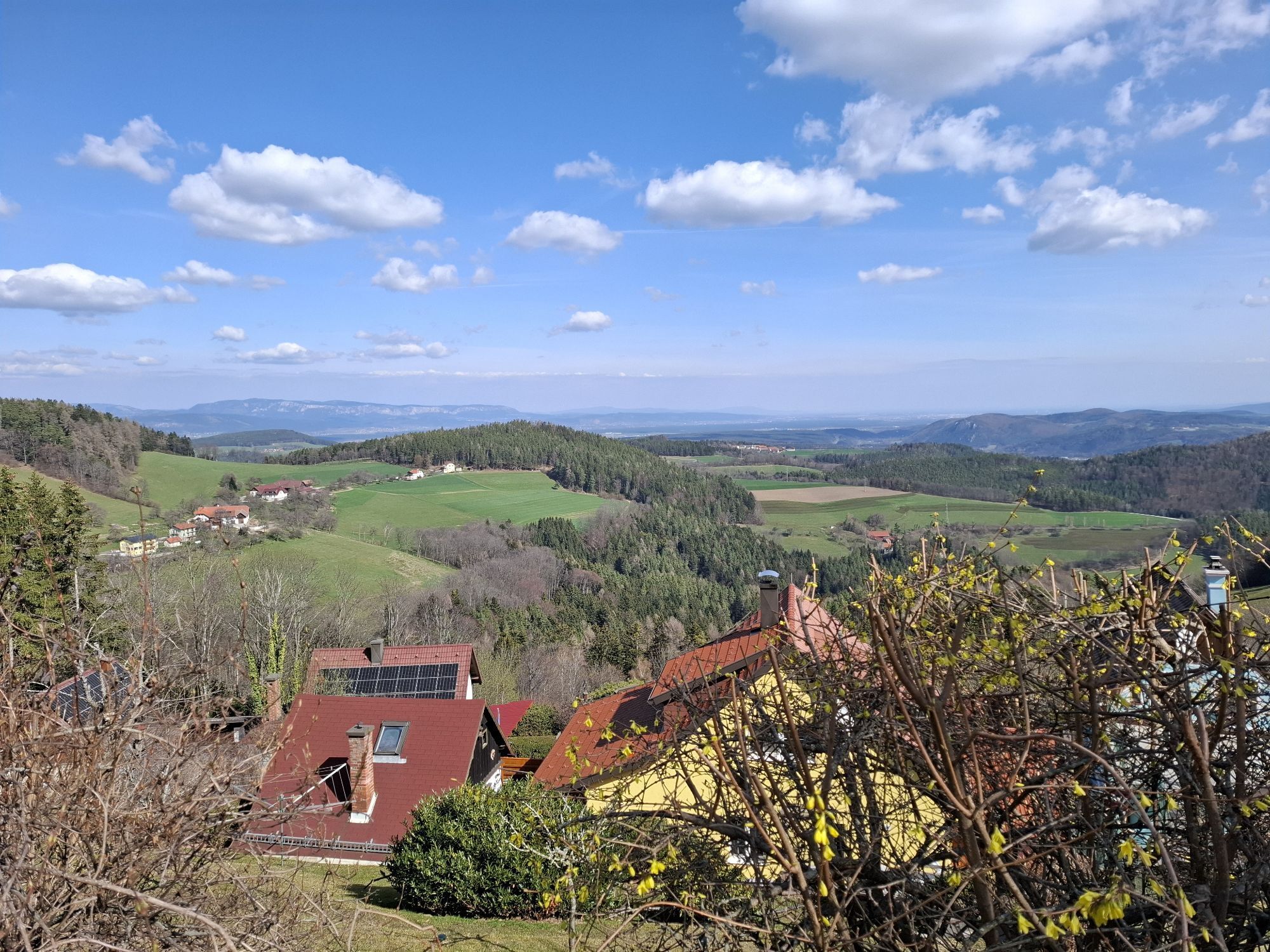


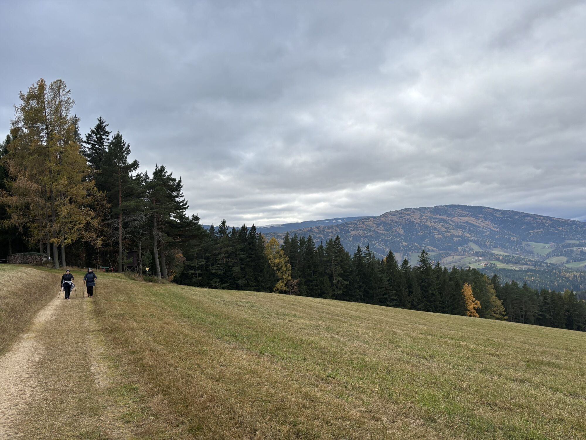
From Kirchberg to the Eselberg, you gain the necessary elevation along the Way of the Cross at Kalvarienberg, then embark on a comfortable ridge hike through a rural cultural landscape with numerous distant...
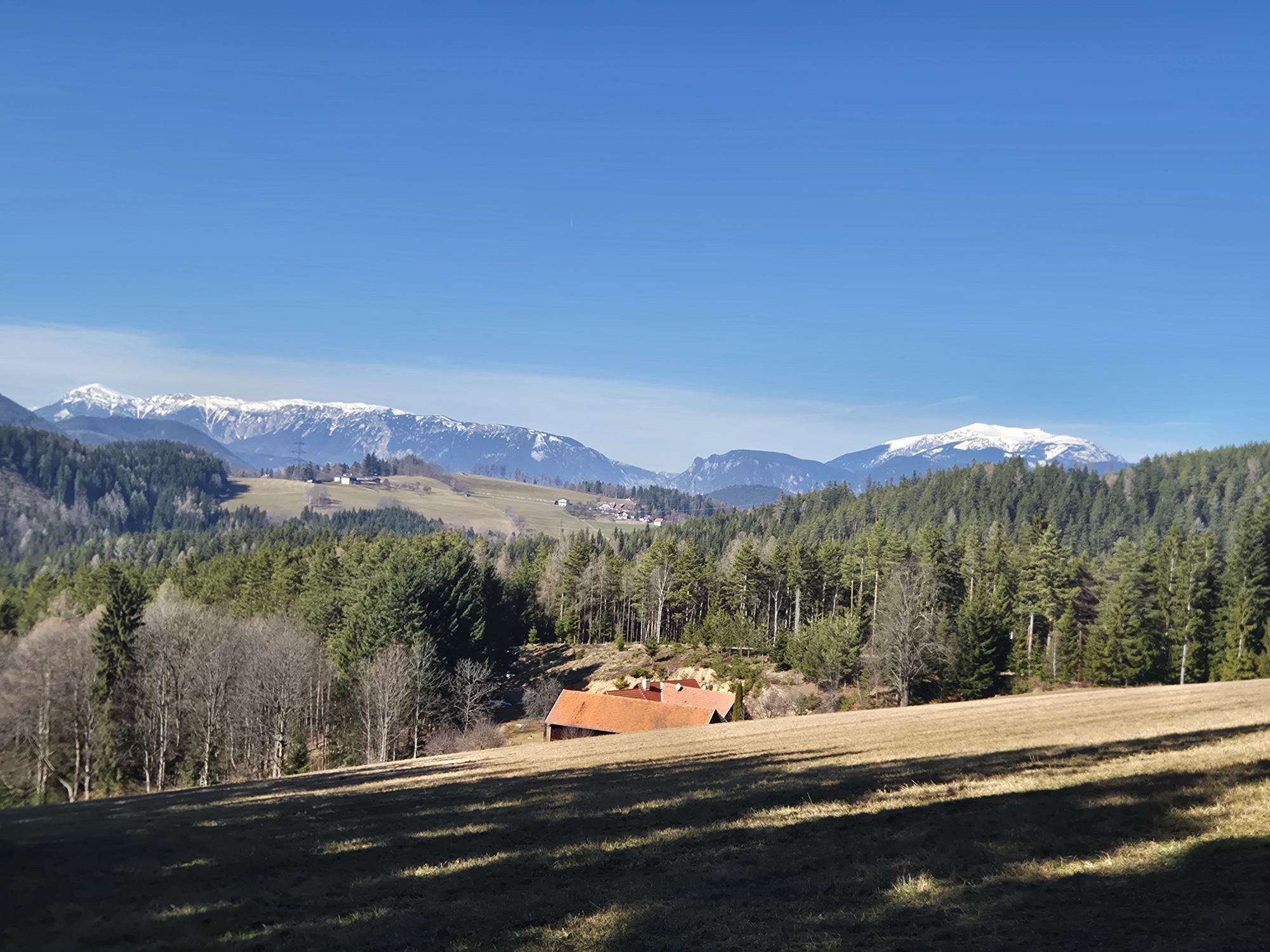
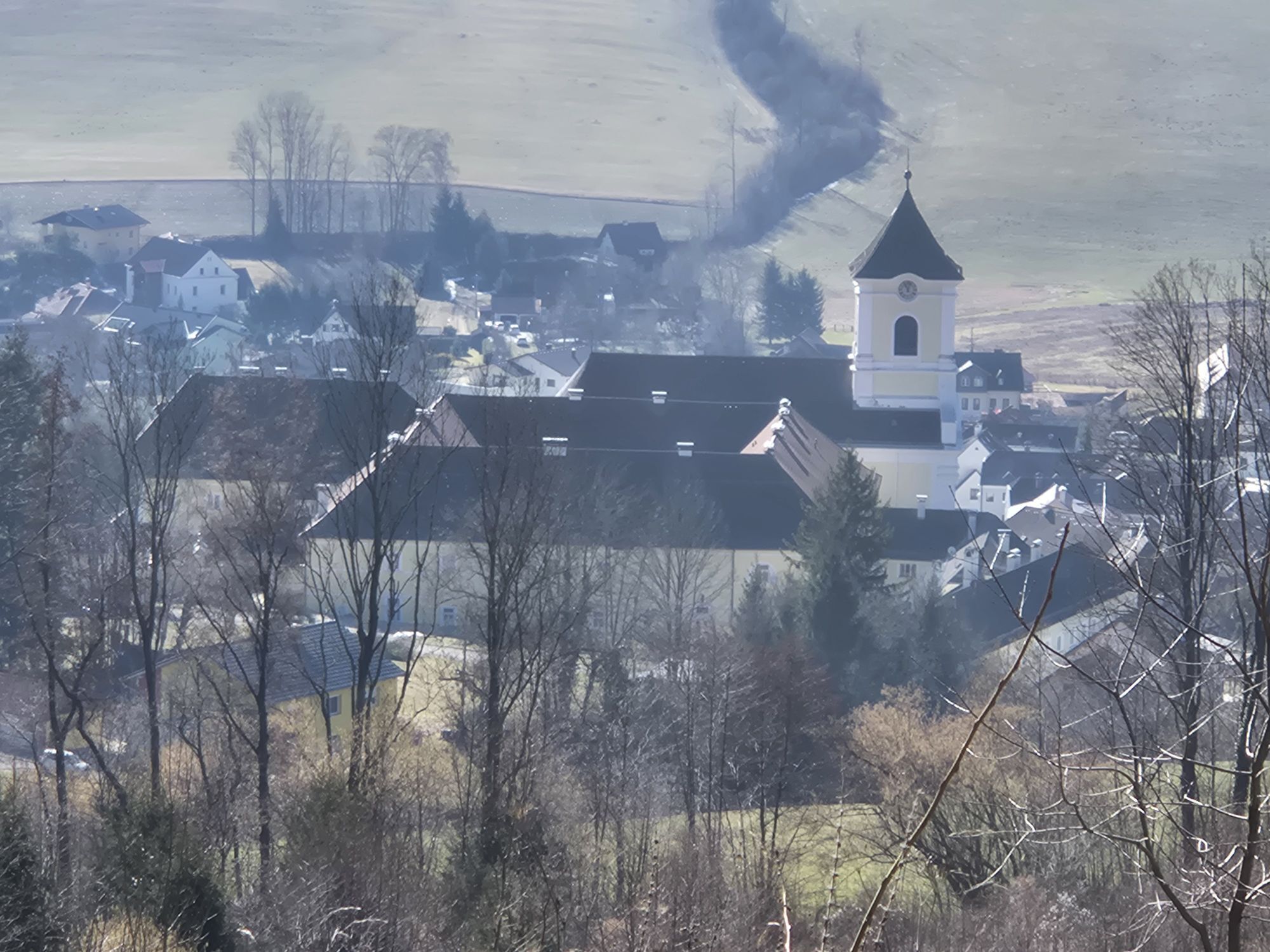
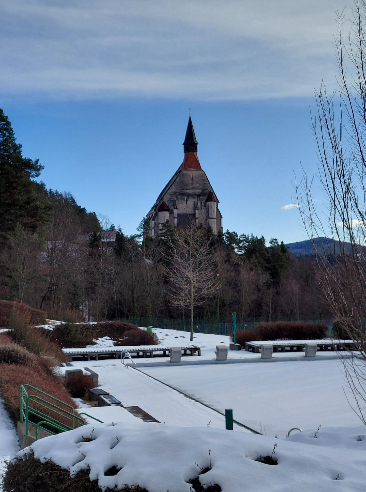
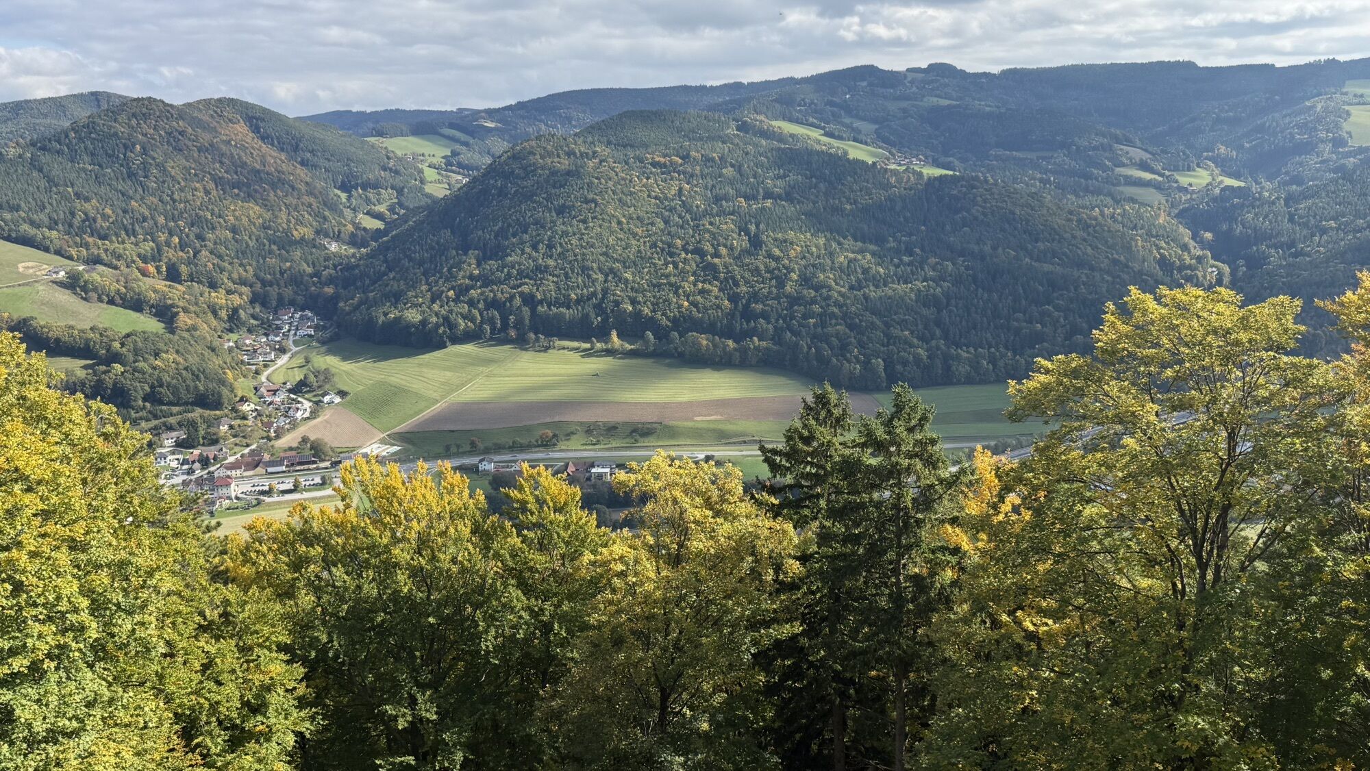
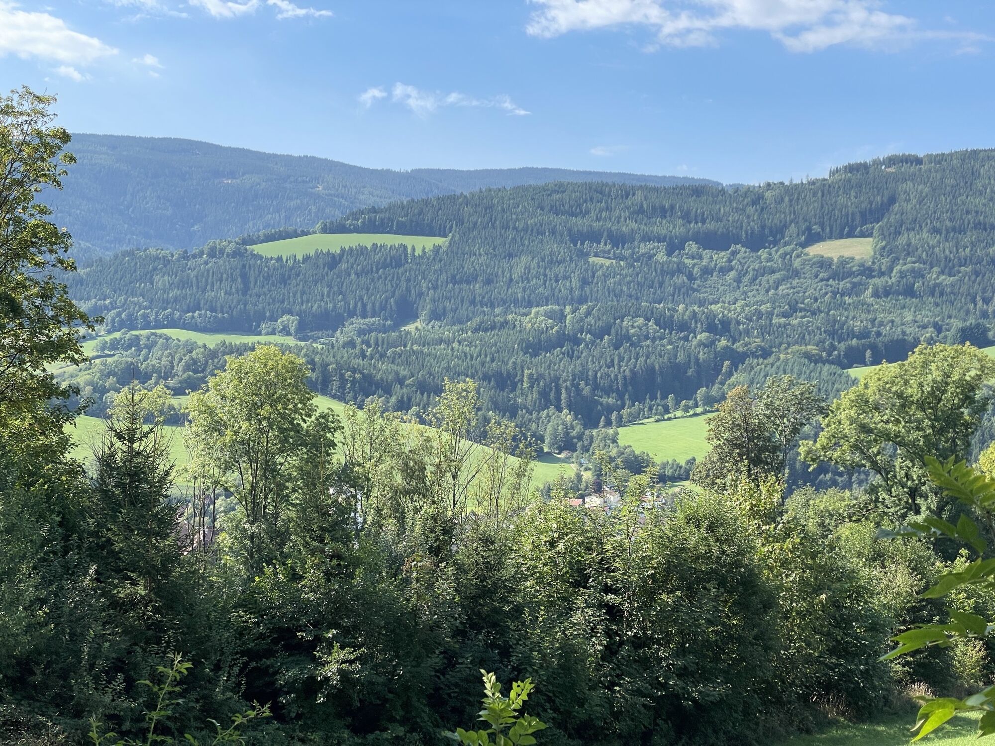
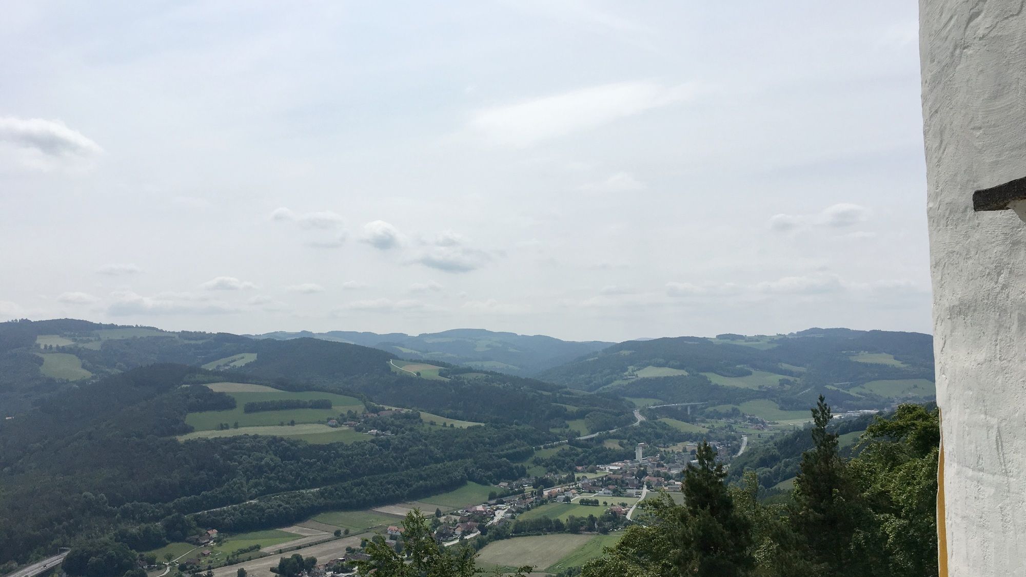
<p>From Kirchberg to the Eselberg, you gain the necessary elevation along the Way of the Cross at Kalvarienberg, then embark on a comfortable ridge hike through a rural cultural landscape with numerous distant and panoramic views. A highlight at the beginning of the hike is a short detour to the two-story Kernstockwarte, which offers a magnificent view over the idyllic Feistritztal and the Wechsel. The now modern regional hospital, which in the first half of the 20th century ranked among the most significant lung sanatoriums in the eastern Alpine region, is an architectural highlight at the end of this hike. Regional Route F continues its path to the Kaltenberg heights and the pilgrimage church Maria Schnee.</p>

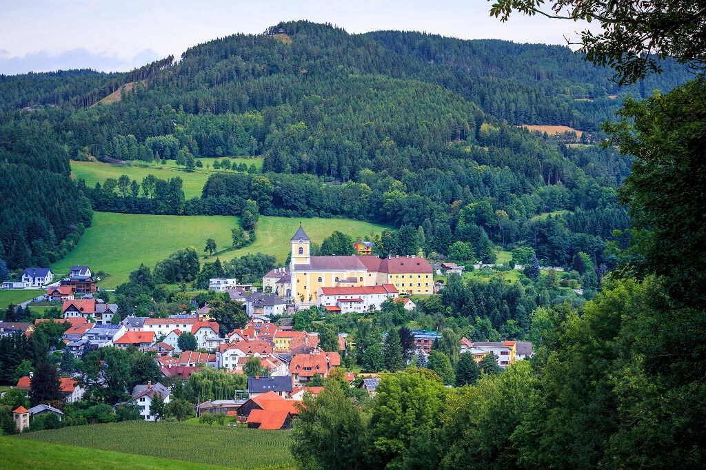
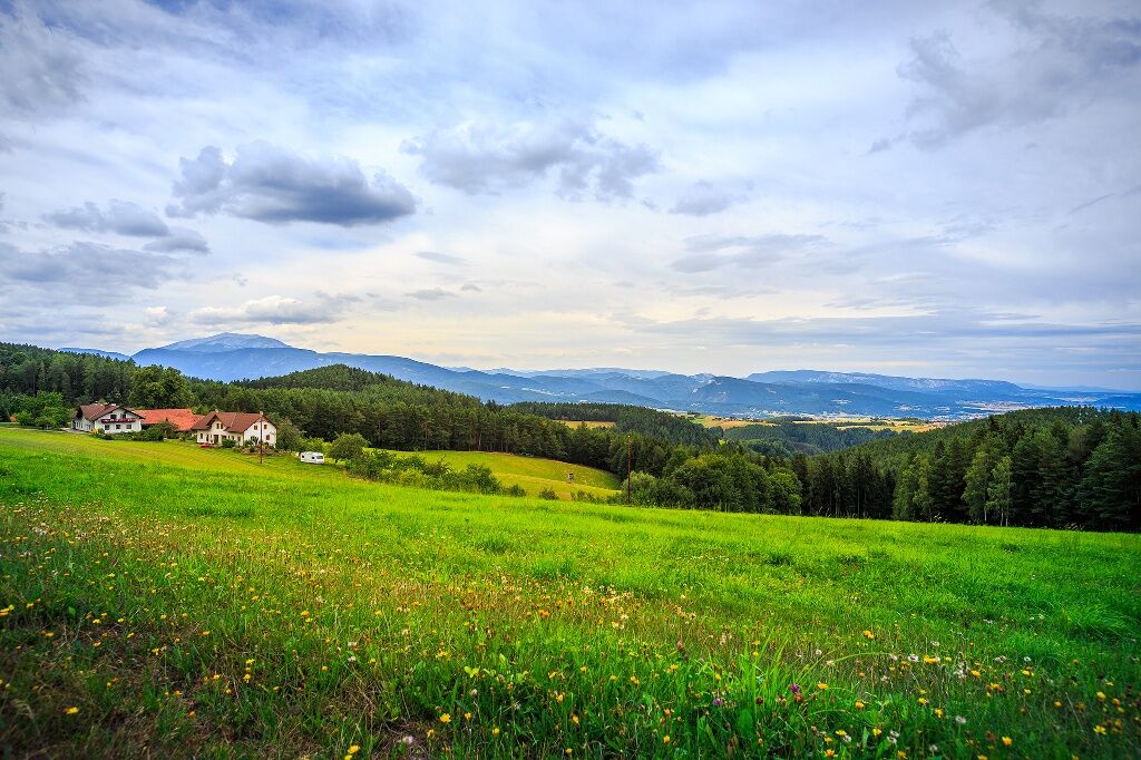
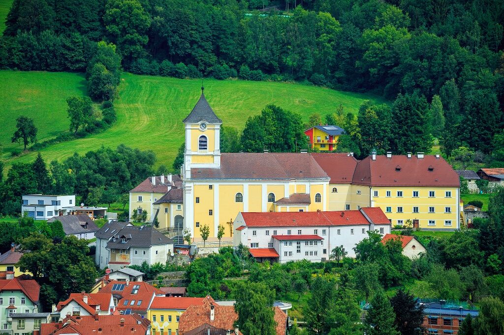
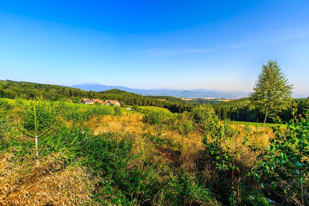
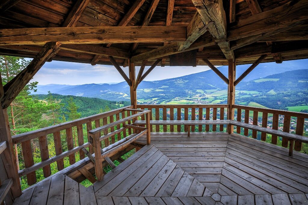
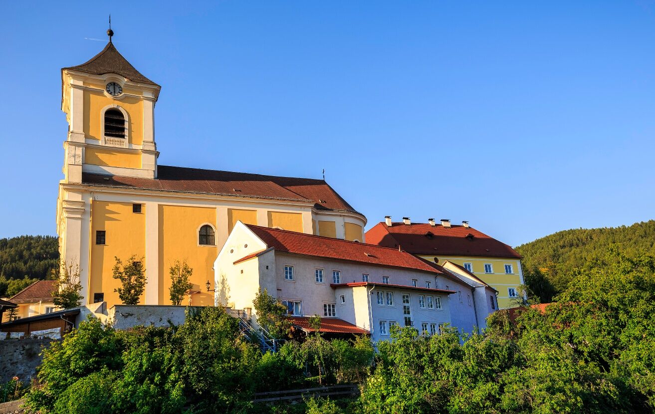
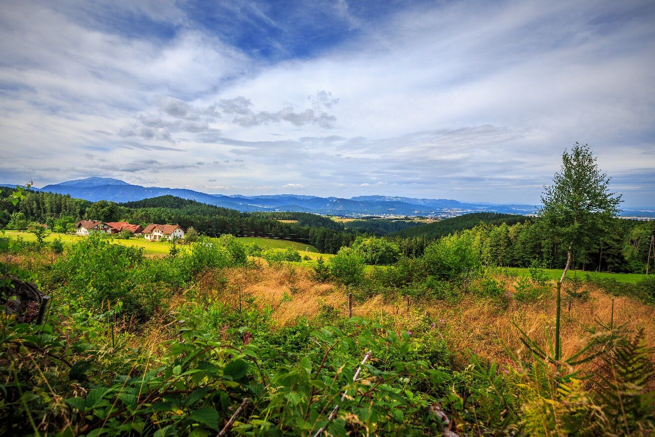
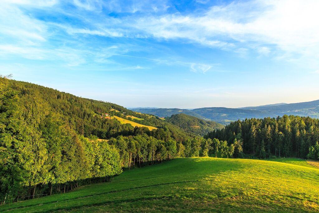
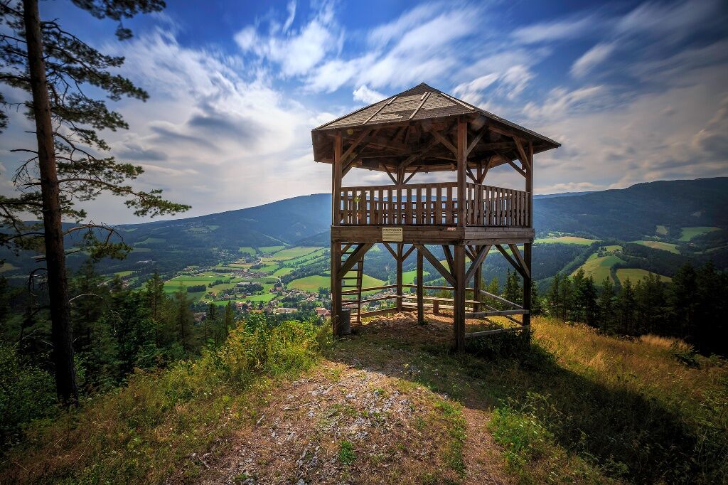
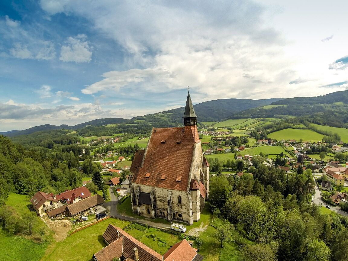
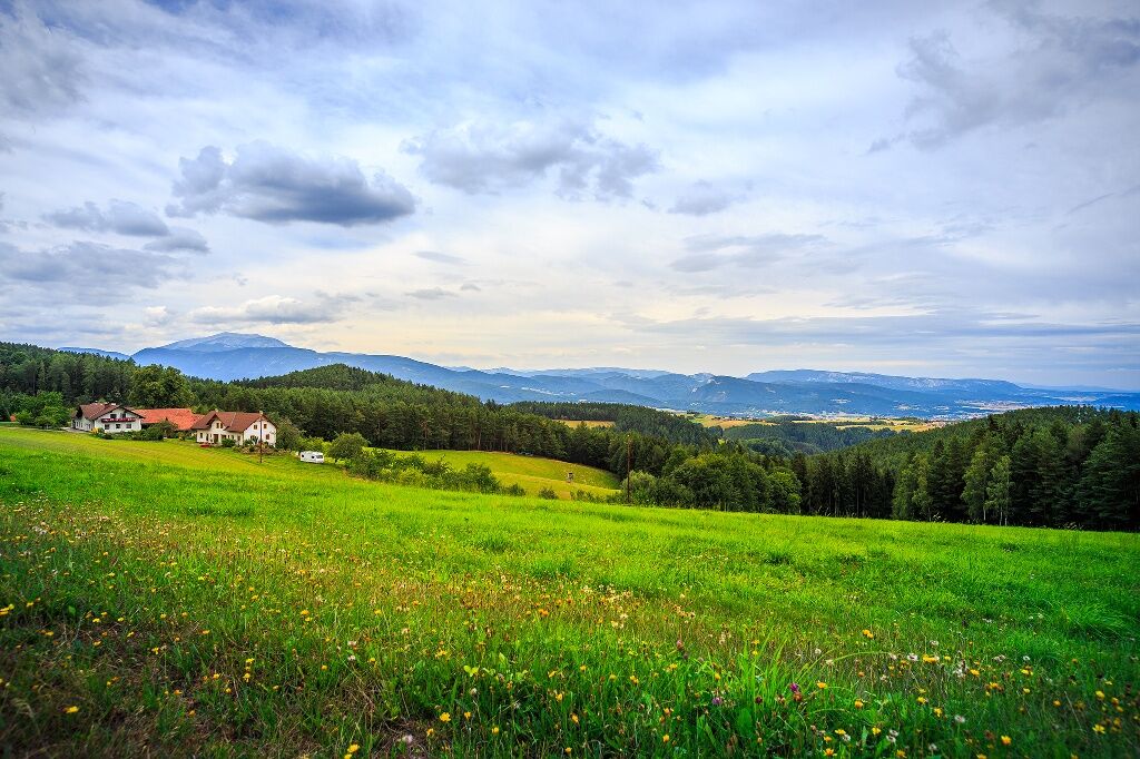
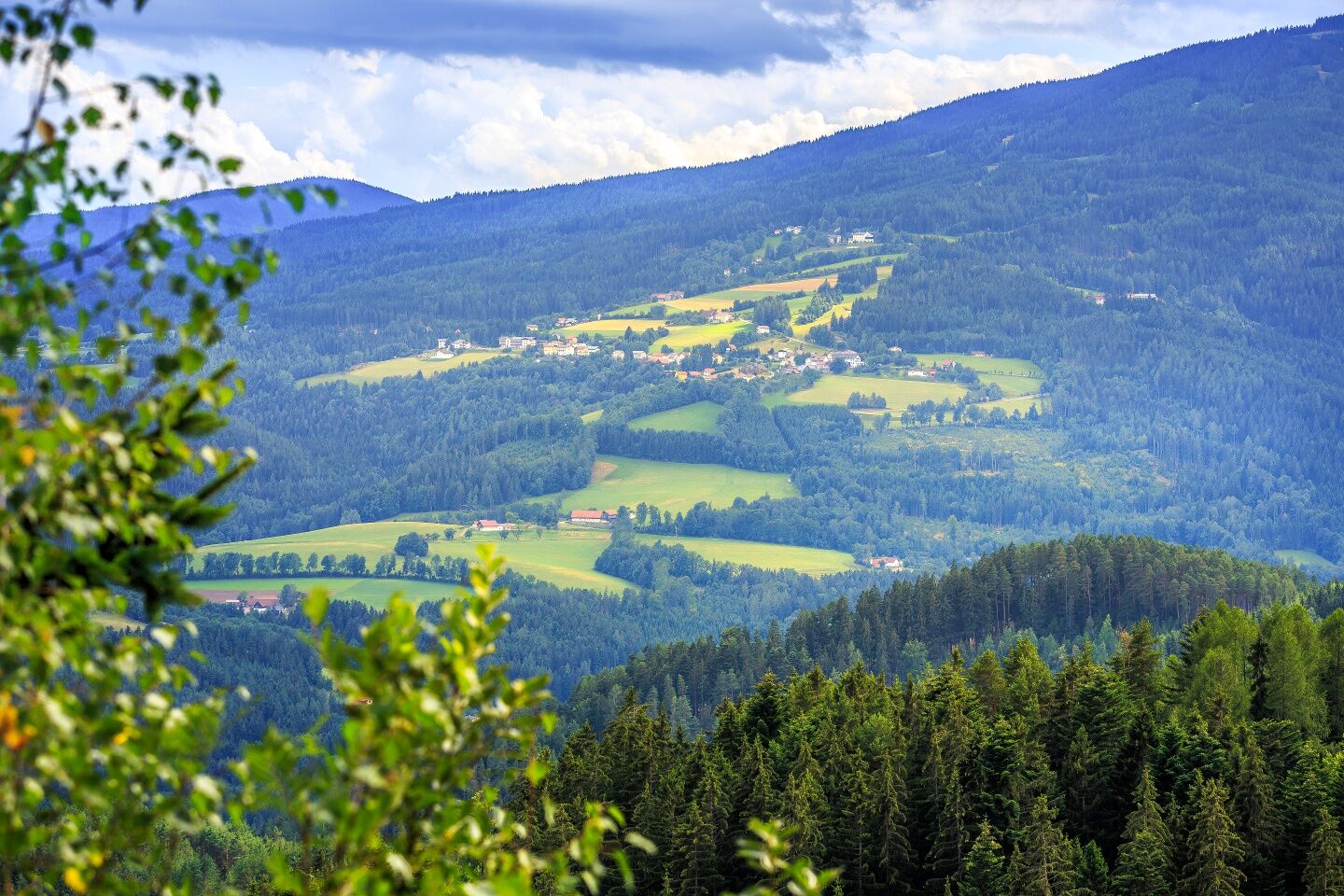
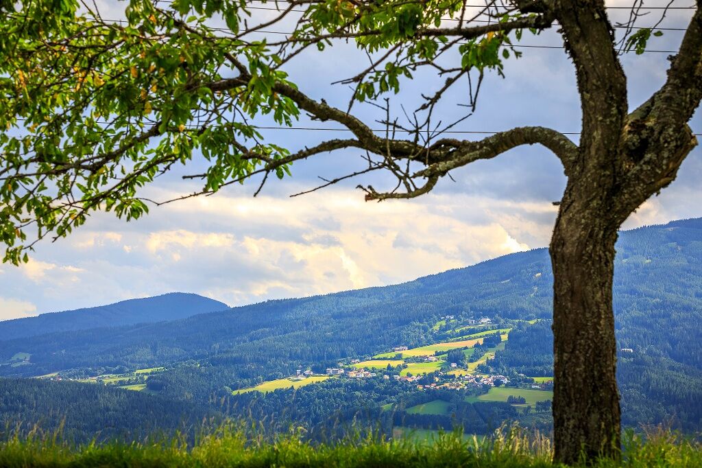
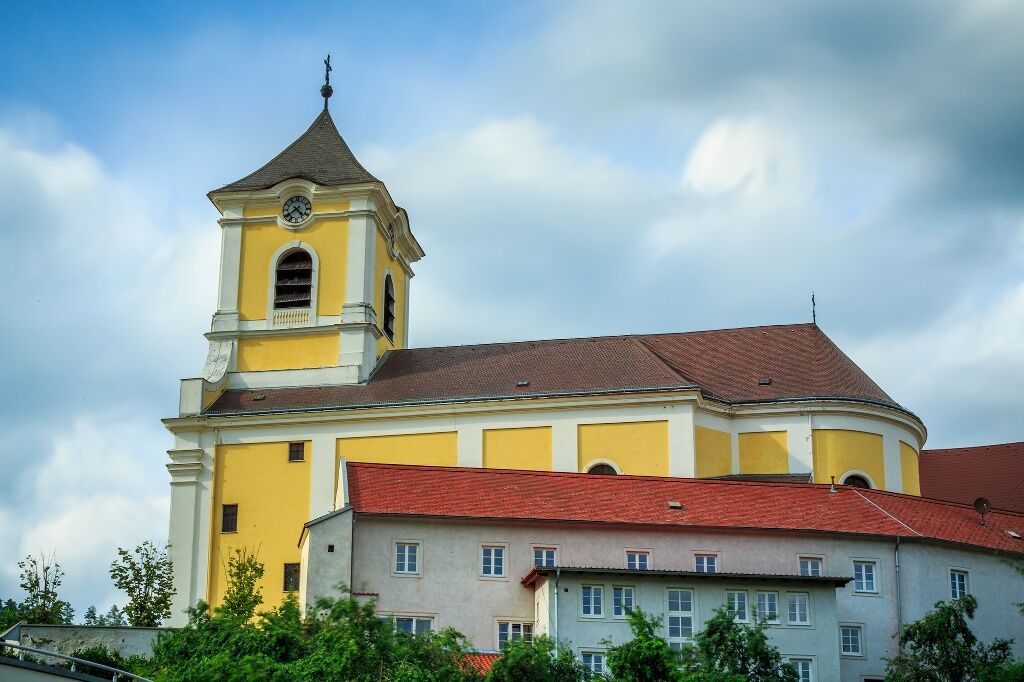
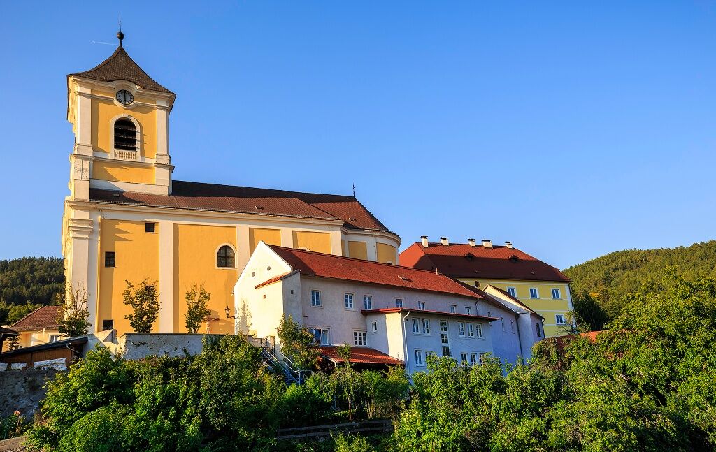
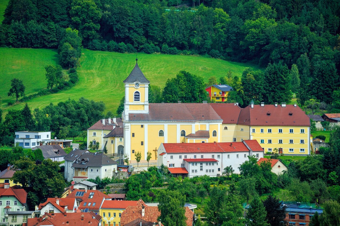
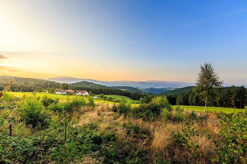

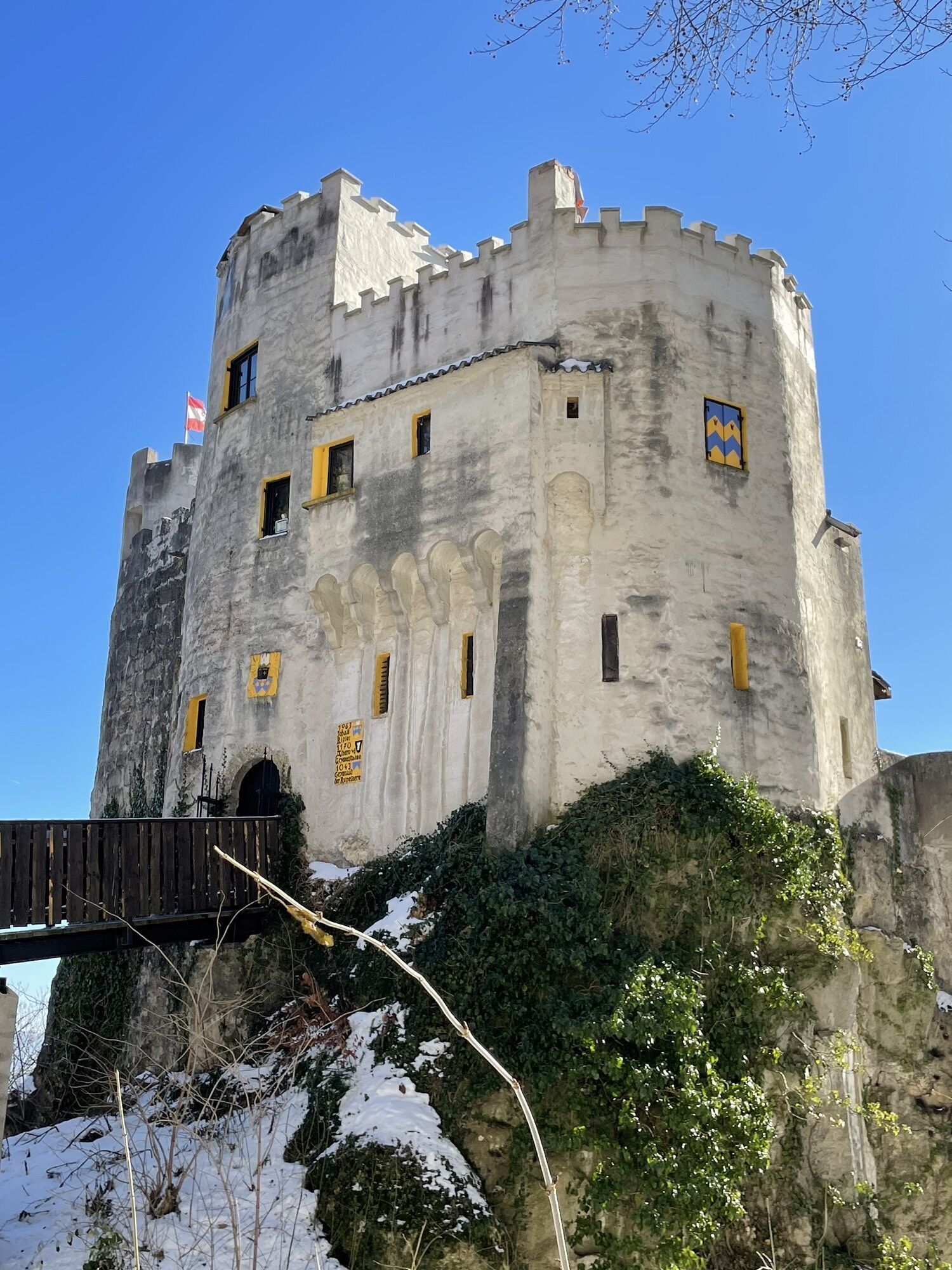
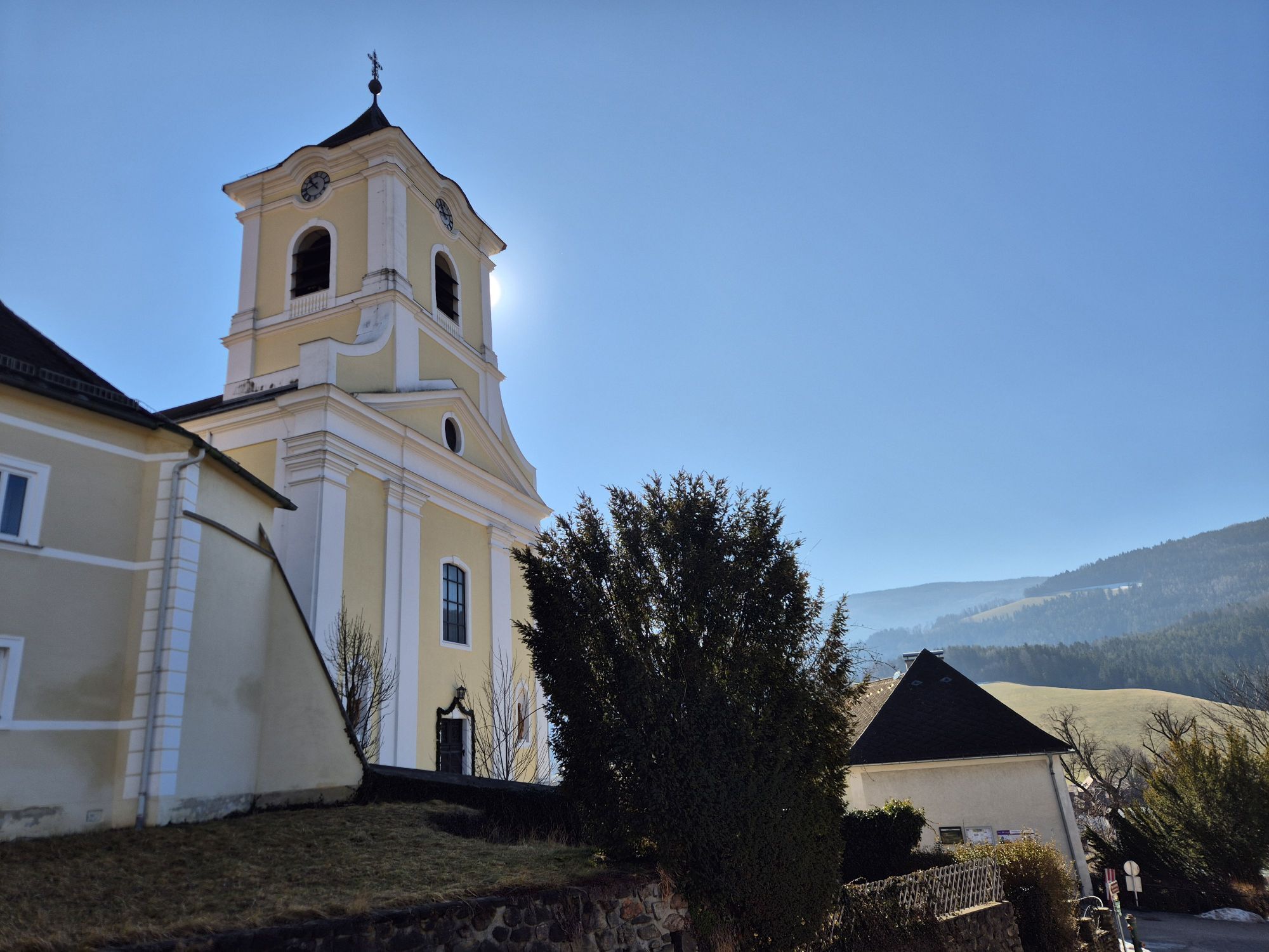
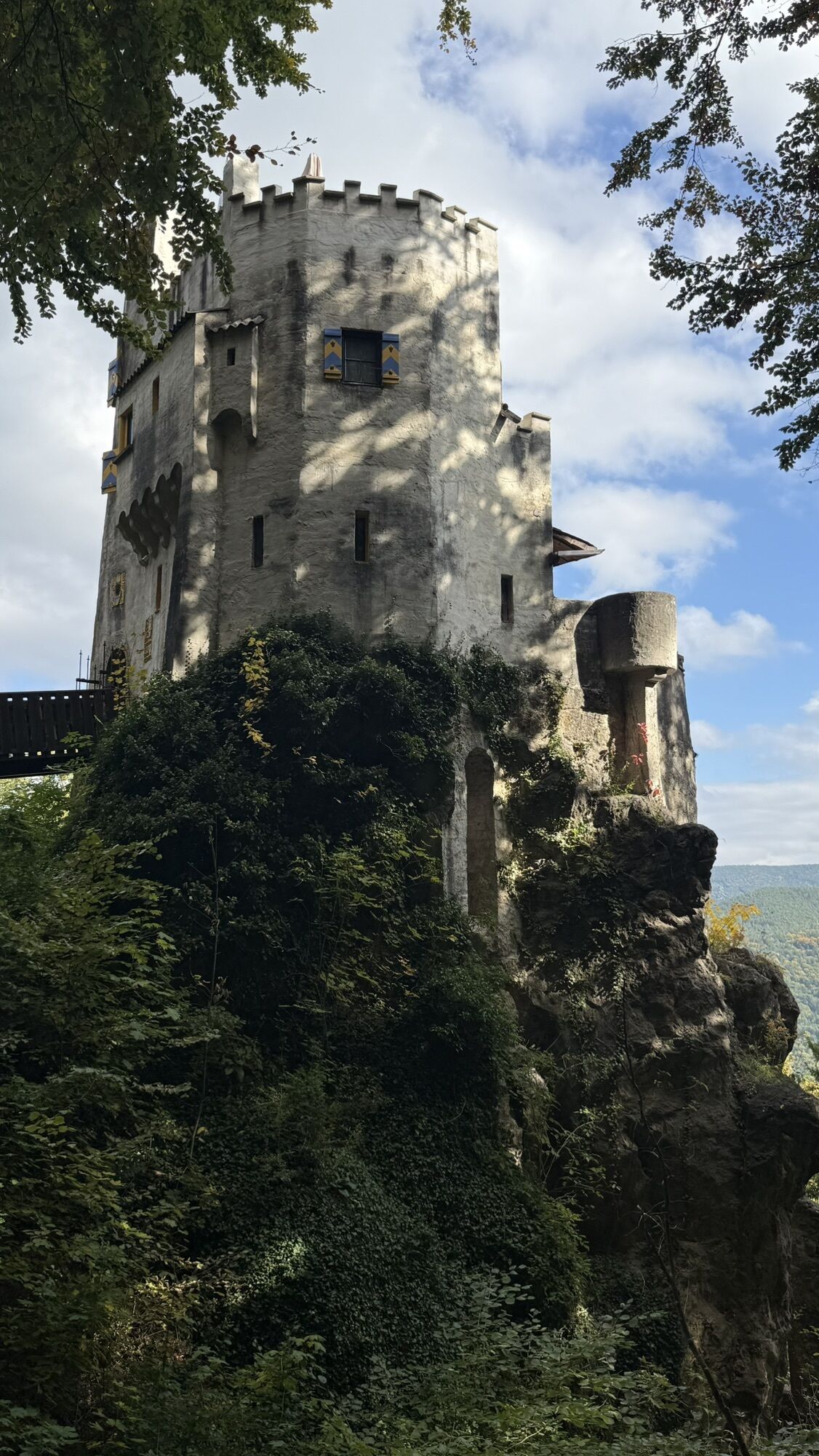
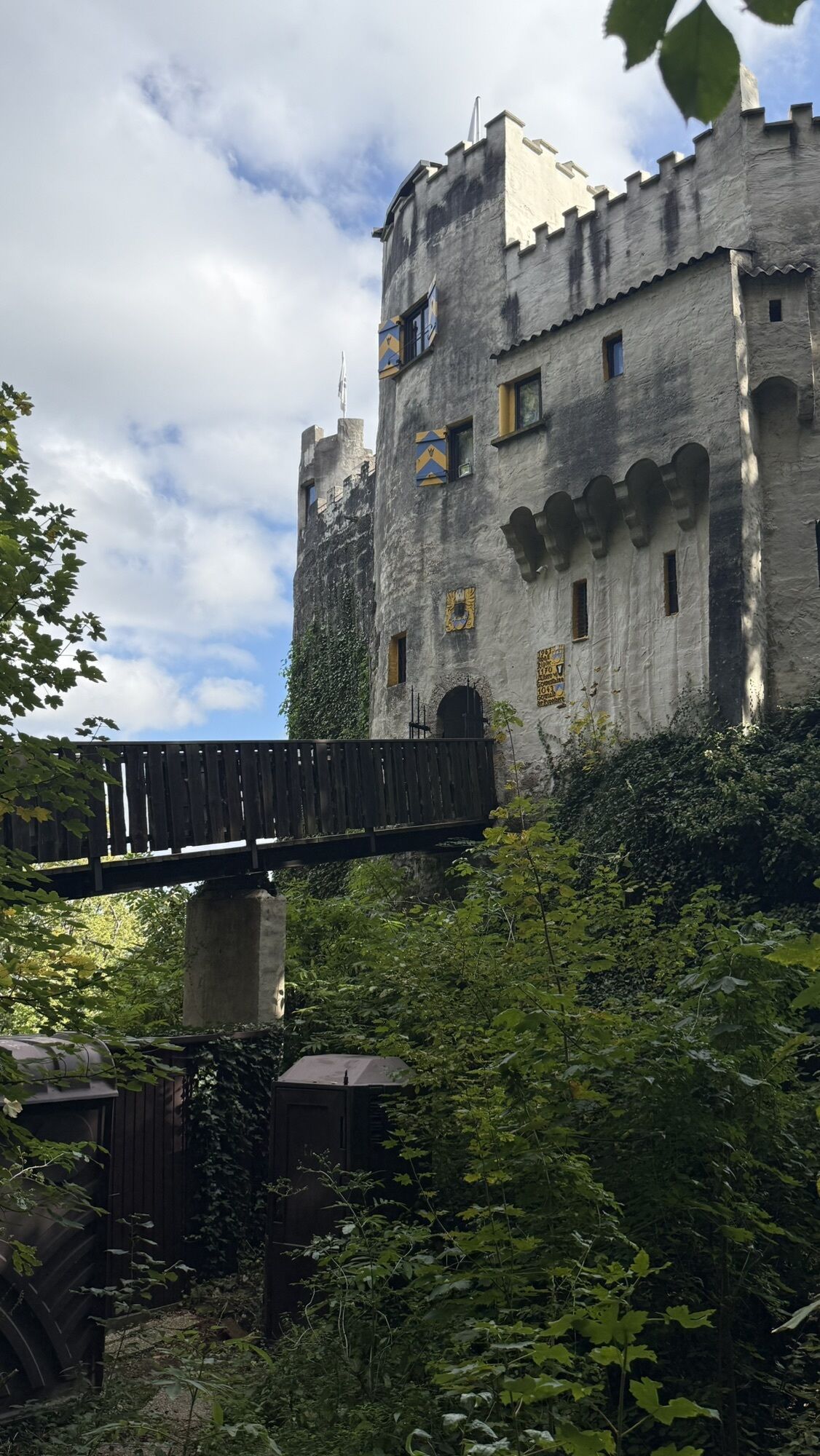
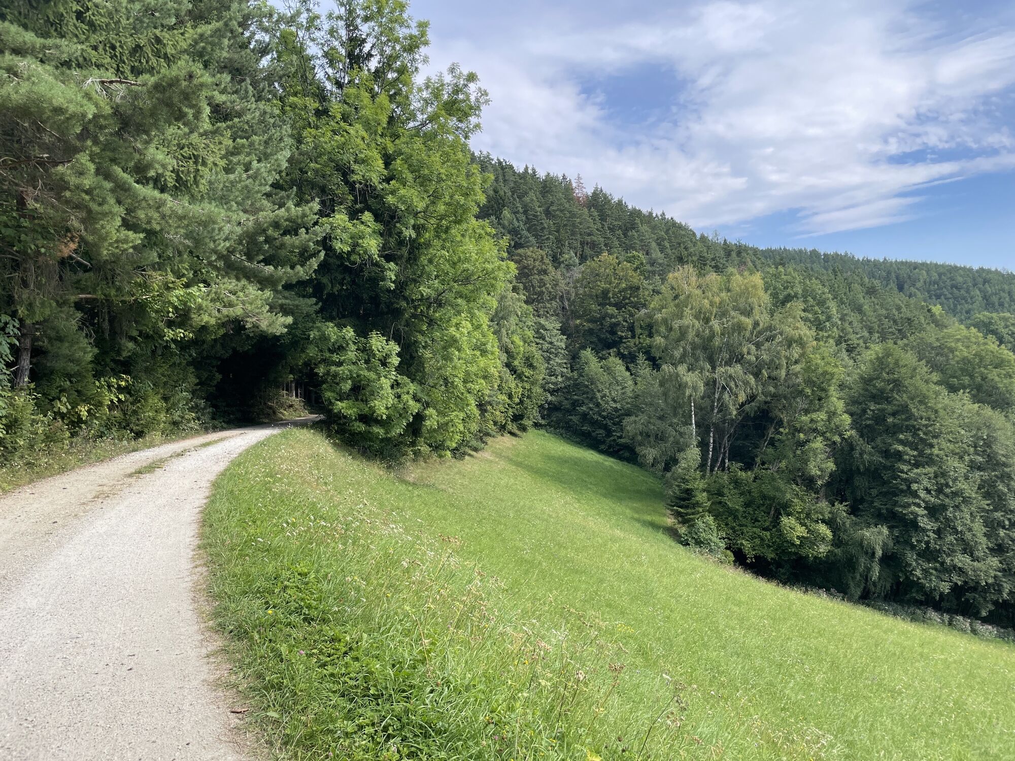
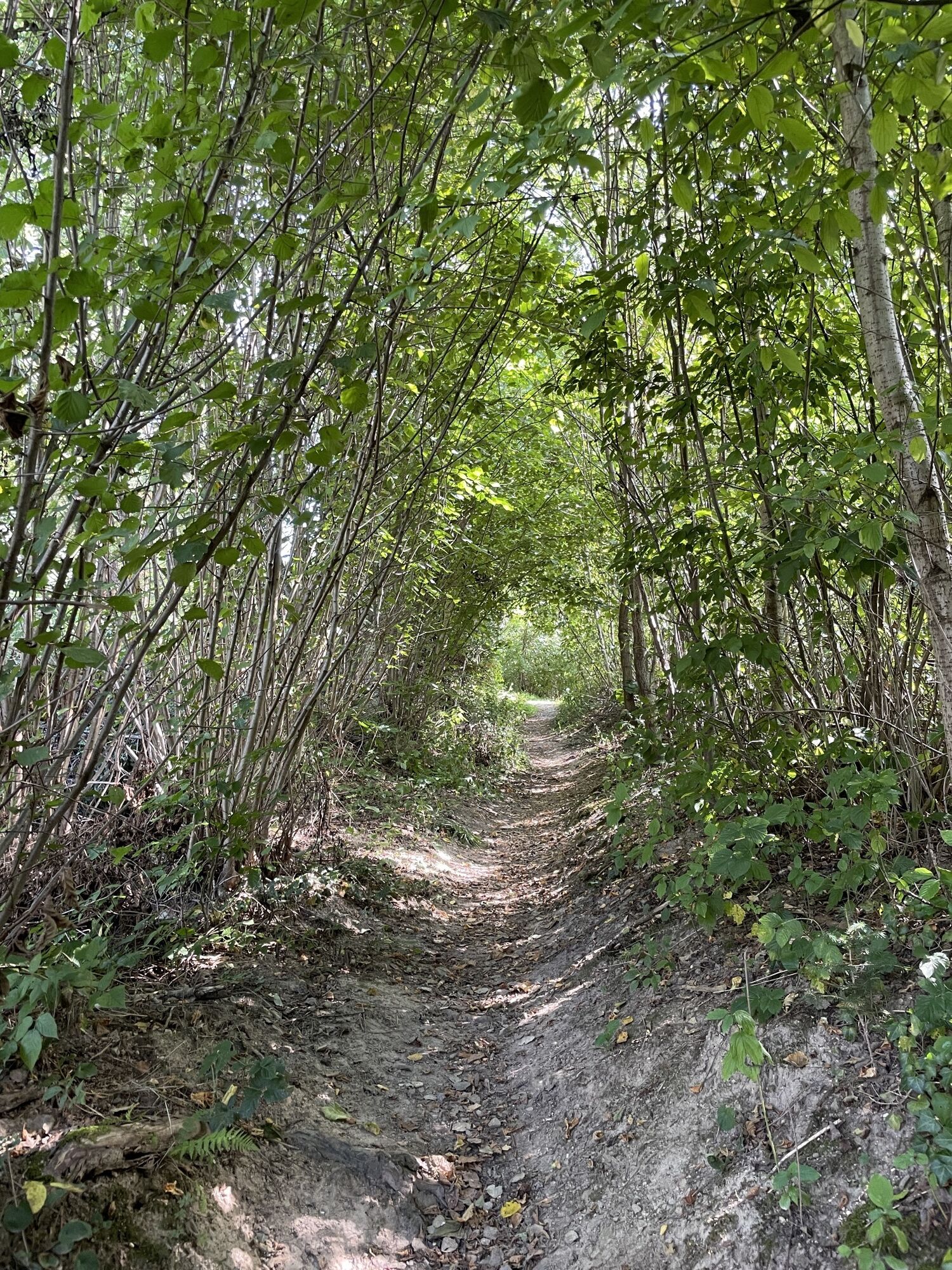
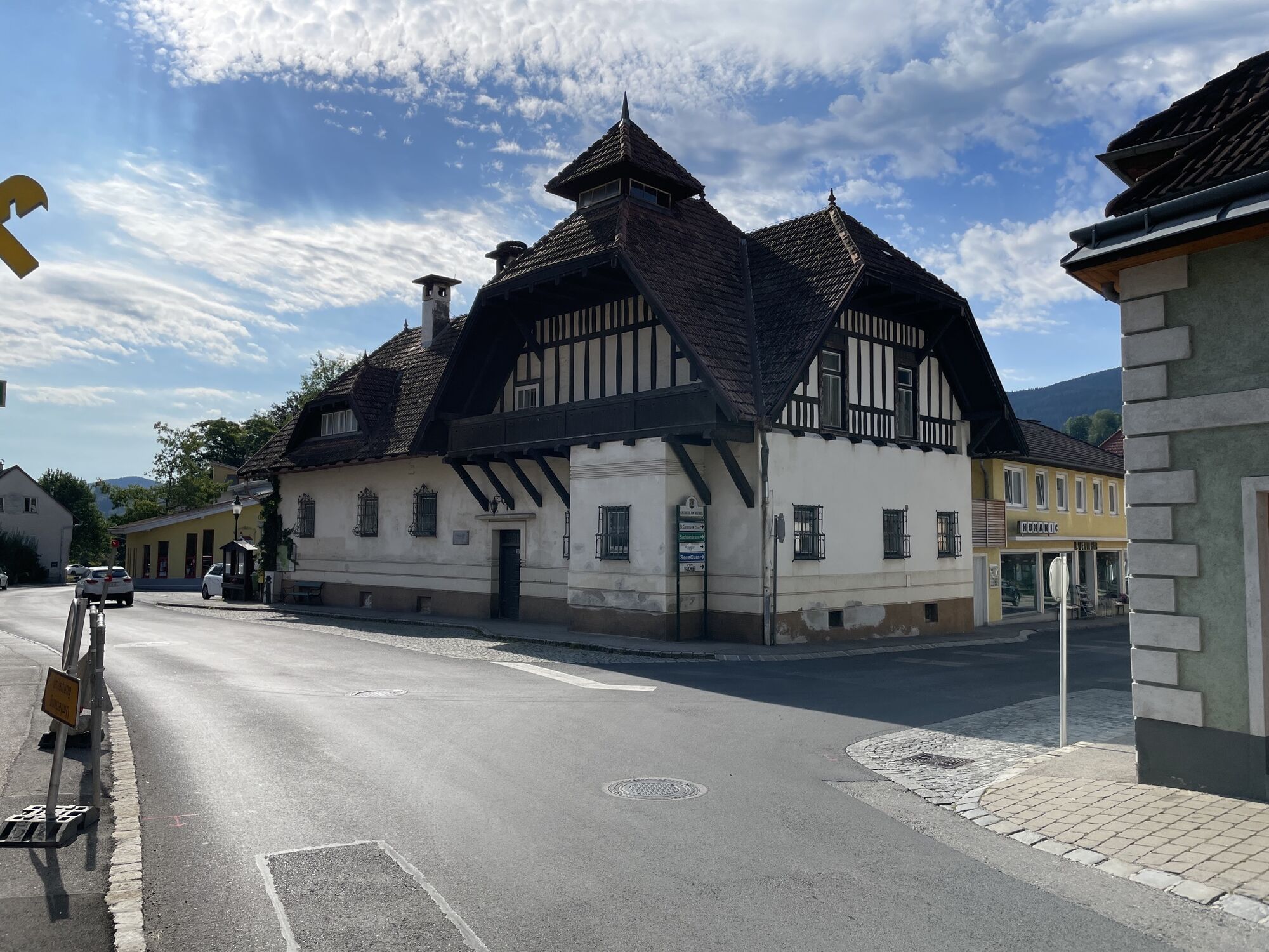
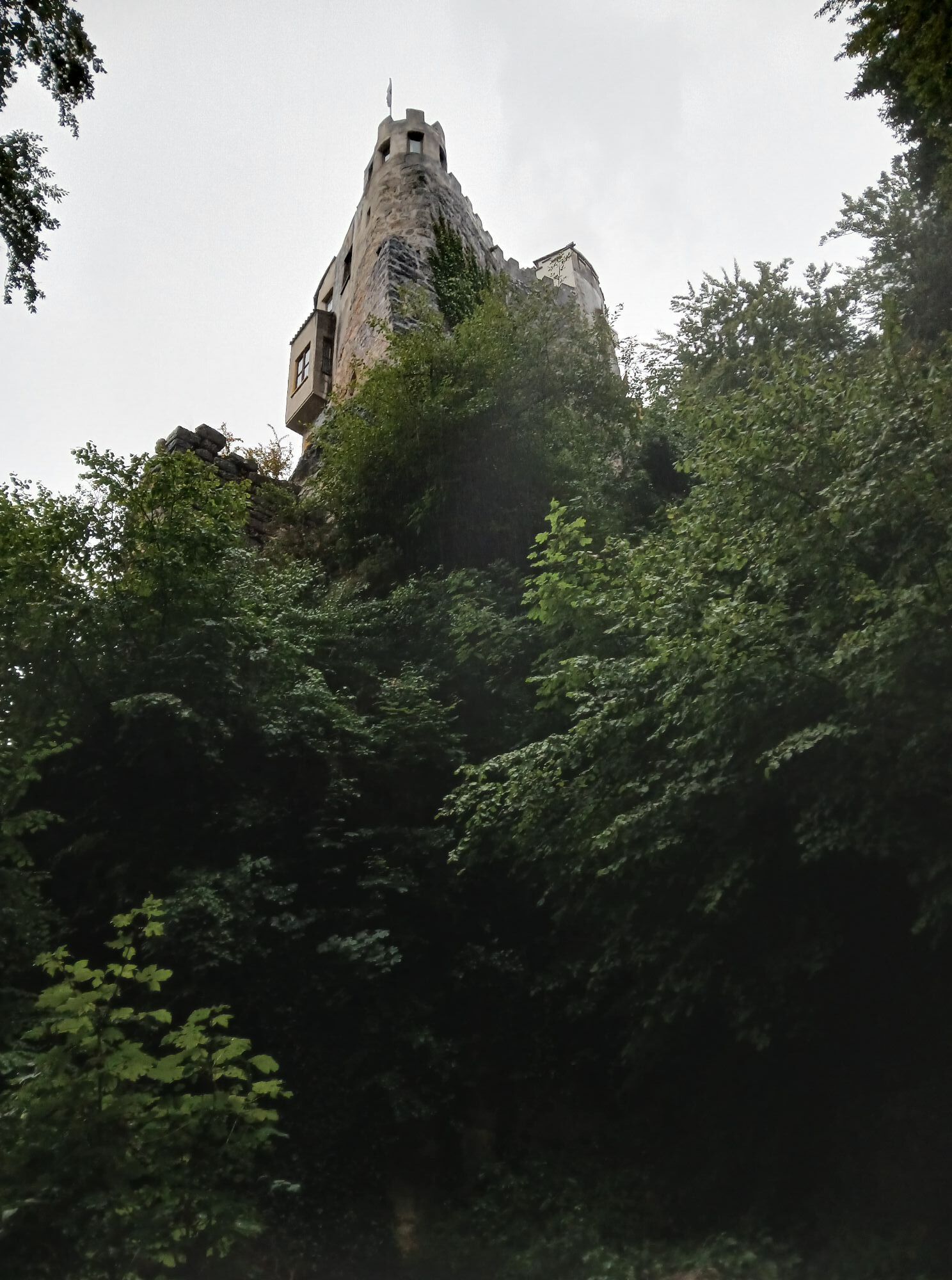
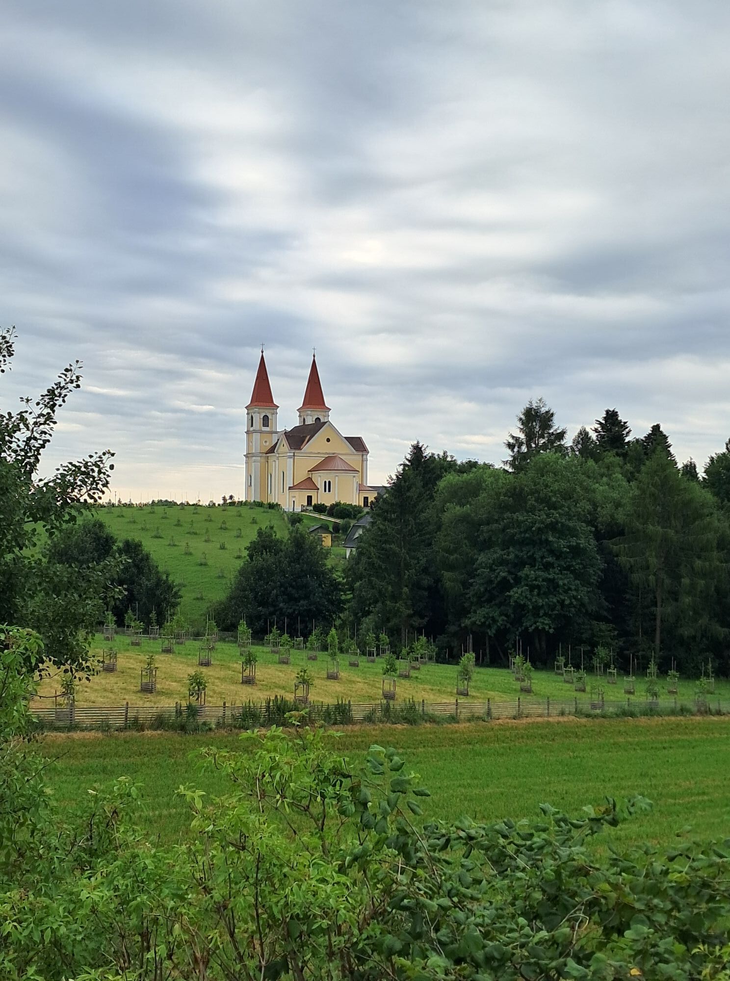
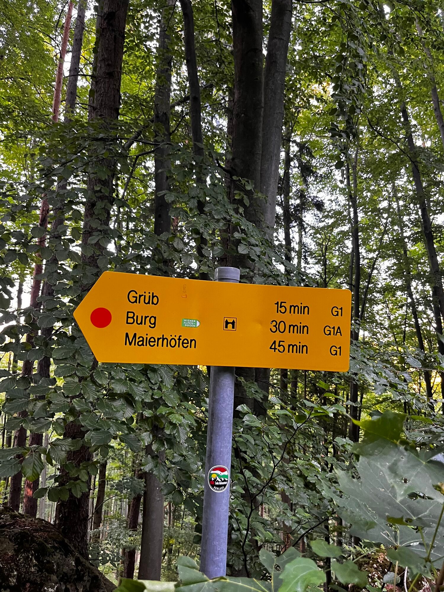
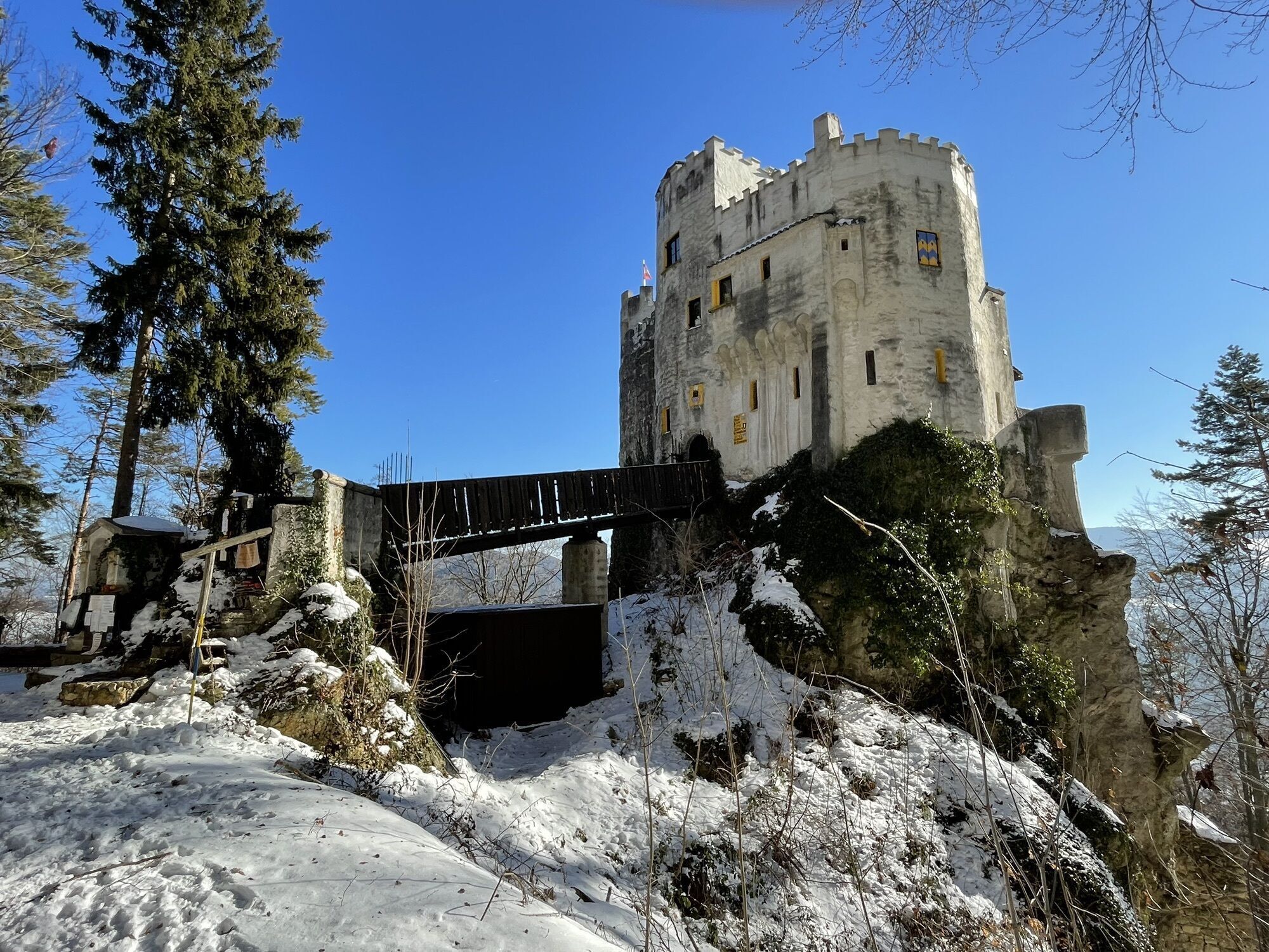
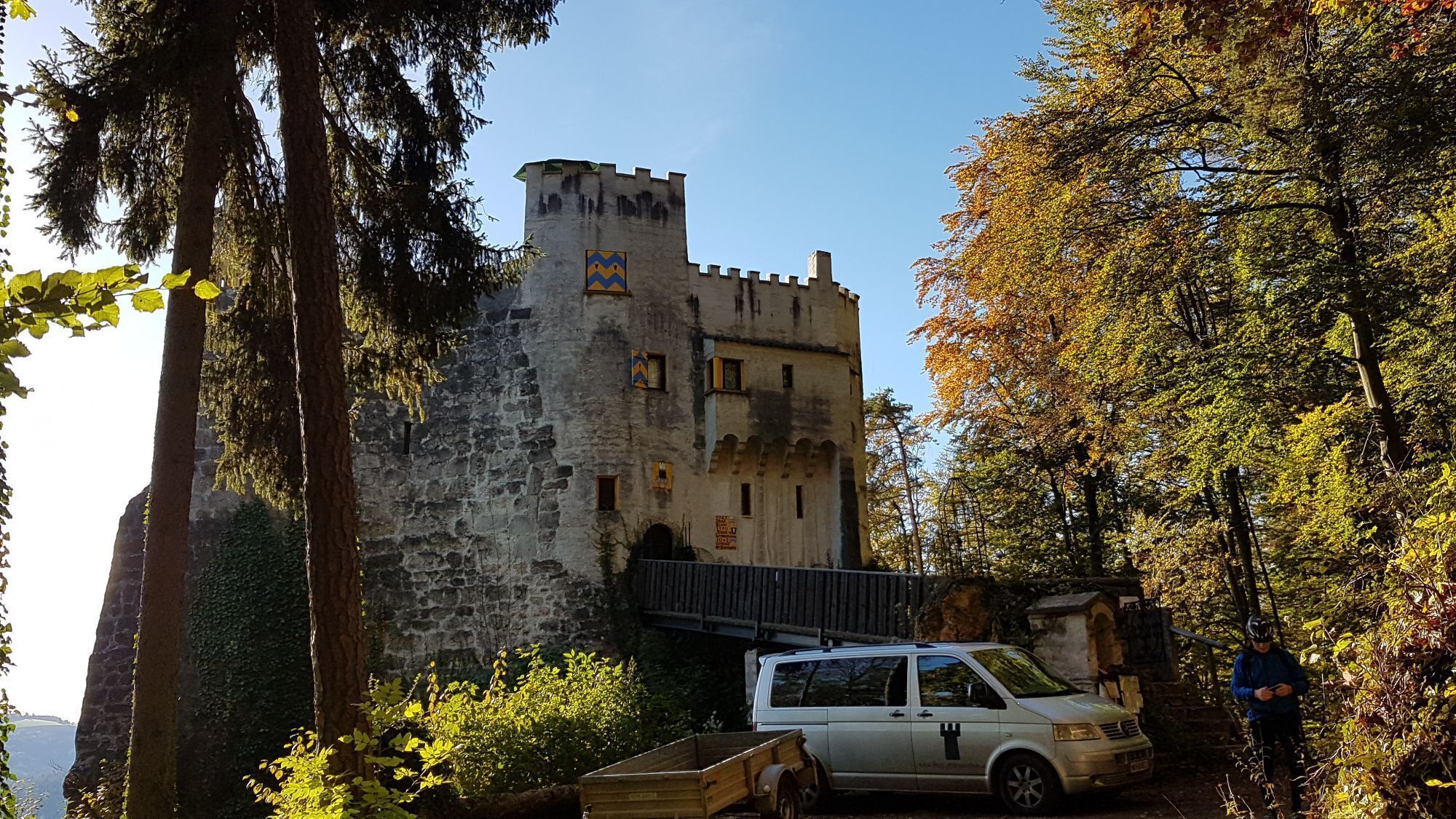
<p>We begin with the challenging hike on the Regional Route F at the Kirchberg am Wechsel municipal office. The first meters lead us upwards past the parish church of St. Jakob and shortly after onto a hiking trail that takes us approximately 300 meters in elevation up to Kalvarienberg and further to the Kernstockwarte (marked in red). A detour to the vertigo-free and scenic lookout is worthwhile. We have not yet reached the highest point of the route, as we hike on partly scenic and partly shaded forest and cart tracks uphill to the west slope of the Eselberg and continue walking on the service road northwards to Karlshöhe. Here we turn right towards Tannhof and Ödenkirchen (also Nordalpenweg, marked in red). The next hour will be spent on the scenic high road. There is an option for food and overnight stay at the Landgasthof Fally in Ödenkirchen.</p><p>Soon after the guesthouse, the Nordalpenweg leaves to the left, and we hike along the service road to Schaffernak and further to the Urbankapelle. Here we keep right, follow the road to Hollabrunn and Hochegg, but turn left directly at a high voltage line off the road and follow the forest path over the Hollabrunner Riegel. We continue walking downhill on this path to Hochegg (also labeled H2). Arriving at the road at the regional hospital, we turn right, pass the parking lots, and follow the road downhill past the clinic into the village of Hochegg. We pass the Gasthof zur Linde and shortly afterwards turn left into Himberger Straße. After house no. 19, we turn left onto the road to Himberg and follow it for half an hour to the hamlet Eben. At the crossroads, we turn right, but a few meters later, we turn half-right onto a cart track (also marked blue). Initially up and down past a few small quarries, the forest trail then leads slightly uphill counterclockwise around the Kulmriegel to Grimmenstein Castle (marked in red). We follow the hiking trail to a junction near the forest edge and turn right here towards Grimmenstein (also marked in red, partly labeled G1). With scenic views, we hike towards Grimmenstein and follow Schulgasse over the Pitten into the center. The Edlitz-Grimmenstein train station is visible on the left. From here, Regional Route F continues to the pilgrimage church Maria Schnee.</p><p>We walk to the federal road, cross it, cross the railway tracks past the parking lot and turn right into Lagerhausgasse. After a few minutes, we turn left into Friedbachweg and pass under the Südautobahn. We follow the service road steadily uphill to a farm and continue on a cart track. The path leads partly steeply uphill through the forest; after a left turn, we briefly leave the forest and face a large pasture. We walk along the edge of the pasture, re-enter the forest, and follow the forest edge near the pasture to the chapel above Dermahof. Alternatively, we can also ascend over the pasture to Dermahof and further to the chapel. After a short rest at the chapel, we follow the hiking trail to Kaltenberg (marked in red) through dense forest to the edge of a field and hike uphill along the forest edge to a paved road. Here we meet the Regional Route B from Krumbach to Maria Schnee. The road leads north to the main road, which leads right to Kaltenberg to the Gasthaus Maria Schnee and the pilgrimage church.</p><p>Overnight accommodation is possible at the Gasthof Maria Schnee. In Kaltenberg, the trail connects to the Wiener Alpenbogen path, and you can continue hiking either to Wiesmath or Thernberg. A descent to the Edlitz-Grimmenstein train station is possible on Regional Route F. Buses between Wiener Neustadt main station and Lichtenegg stop in Kaltenberg.</p>
<p>Always take suitable <strong>maps</strong> with you. Wear sturdy <strong>shoes</strong> adapted to the route, take sun and rain protection, as well as water and a snack. Bring your <strong>mobile phone</strong> and save the mountain rescue emergency number: 140</p>
<p>Your hikes in the Wiener Alpen are meant to be a beautiful and safe experience. Please observe the following:</p><p><strong>Preparation</strong></p><p>Make sure the chosen route matches your mountain experience and <strong>fitness</strong>. Check the <strong>weather forecast</strong> beforehand. Weather in the mountains can change unexpectedly fast. Always head out well equipped accordingly (e.g., rain protection).</p><p>Check whether the <strong>huts and snack stations</strong> you want to visit are open. <strong>Inform</strong> someone of your route choice and planned return time before you start.</p>
<p>If coming from Vienna, take the A2 to the Edlitz exit. Follow B54 southwards, turn right onto L134 and continue to Kirchberg am Wechsel. If coming from Graz, exit the A2 at Grimmenstein, then continue as from Vienna at the Edlitz exit.</p>
<p>Take the train via Wiener Neustadt to Gloggnitz and then continue with bus line 367 to Kirchberg am Wechsel.</p><p>More information can be found at <a href="www.oebb.at">www.oebb.at</...
<p>Parking is available at the Kirchberg municipal office.</p>
Explore also the connecting routes:
WAB - Regional Route E: Gschaidt - Feichten - Krumbach
WAB - Regional Route G: Kirchberg/Wechsel - Mönichkirchner Schwaig
Wiener Alpen in Lower Austria, www.wieneralpen.at, +43 / 2622 / 78960
Tourism office Kirchberg am Wechsel, www.kirchberg-am-wechsel.at, +43 / 2641 / 2460
Overnight accommodation is offered by Gasthof Grüner Baum, Gasthof Maria Schnee, or Landgasthof Fally. Don't forget to take the Wiener Alpen Viewer in a handy format along on the route!
Získajte prehľad
Vždy naživo na mieste s viac ako 9 500 webovými kamerami. bergfex Ako používateľ Pro si teraz môžete pozrieť príslušné webové kamery pre mnohé zájazdy v aplikácii zájazdy z. Môžete si tak priamo prezerať aktuálne podmienky.
Obľúbené výlety v okolí
-
3,8
Schwaigen Rundwanderung
svetloTuristika 8,24 km -
3,8
St. Corona - Kampstein
strednáTuristika 10,7 km -
4,6
Mariensee - Wildwasserweg - Marienseer Schwaig
svetloTuristika 8 km -
4,5
Bucklige Welt: Auf dem Pittentaler Klettersteig zum Türkensturz
strednáVia ferrata 1,96 km -
4,5
Schanzkapelle - Kleiner Otter - Mitterotter - Großer Otter - Kummerbauerstadl - von Göstritz Göstritz, Niederösterreich
strednáTuristika 11,6 km -
4,8
Seebenstein - Türkensturz - Burg Seebenstein
svetloTuristika 7,50 km -
4,3
Türkensturz Rundwanderung
strednáTuristika 2,56 km -
4,4
Paradies Prigglitz
svetloTuristika 5,75 km -
4,7
Hochwechsel und Arabichl ab/bis Mariensee
strednáTuristika 17,5 km -
4,0
Bucklige Welt: Burg Grimmenstein und Kulmriegel
svetloTuristika 10,5 km

Turistika a stopovanie


Nenechajte si ujsť ponuky a inšpiráciu na ďalšiu dovolenku
Vaša e-mailová adresa bol pridaný do poštového zoznamu.





