







WAB - Regional Route G: Kirchberg/Wechsel - Mönichkirchner Schwaig
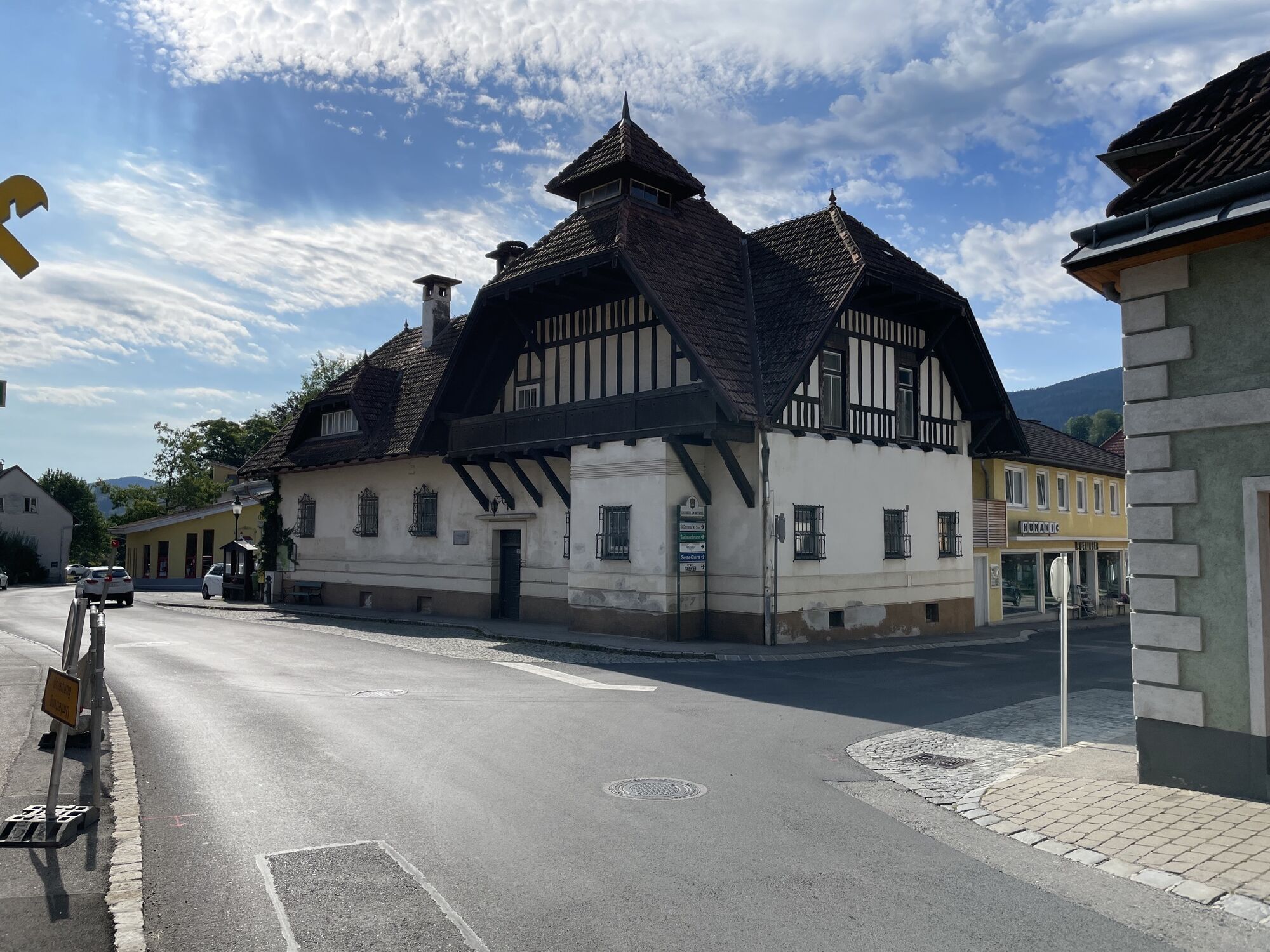
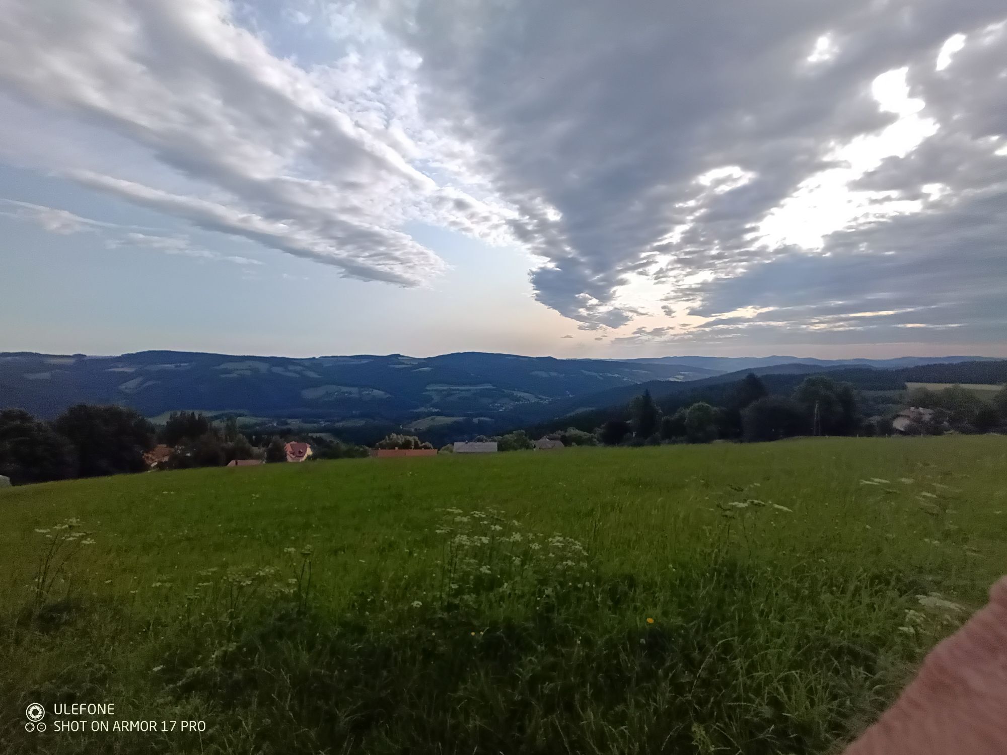
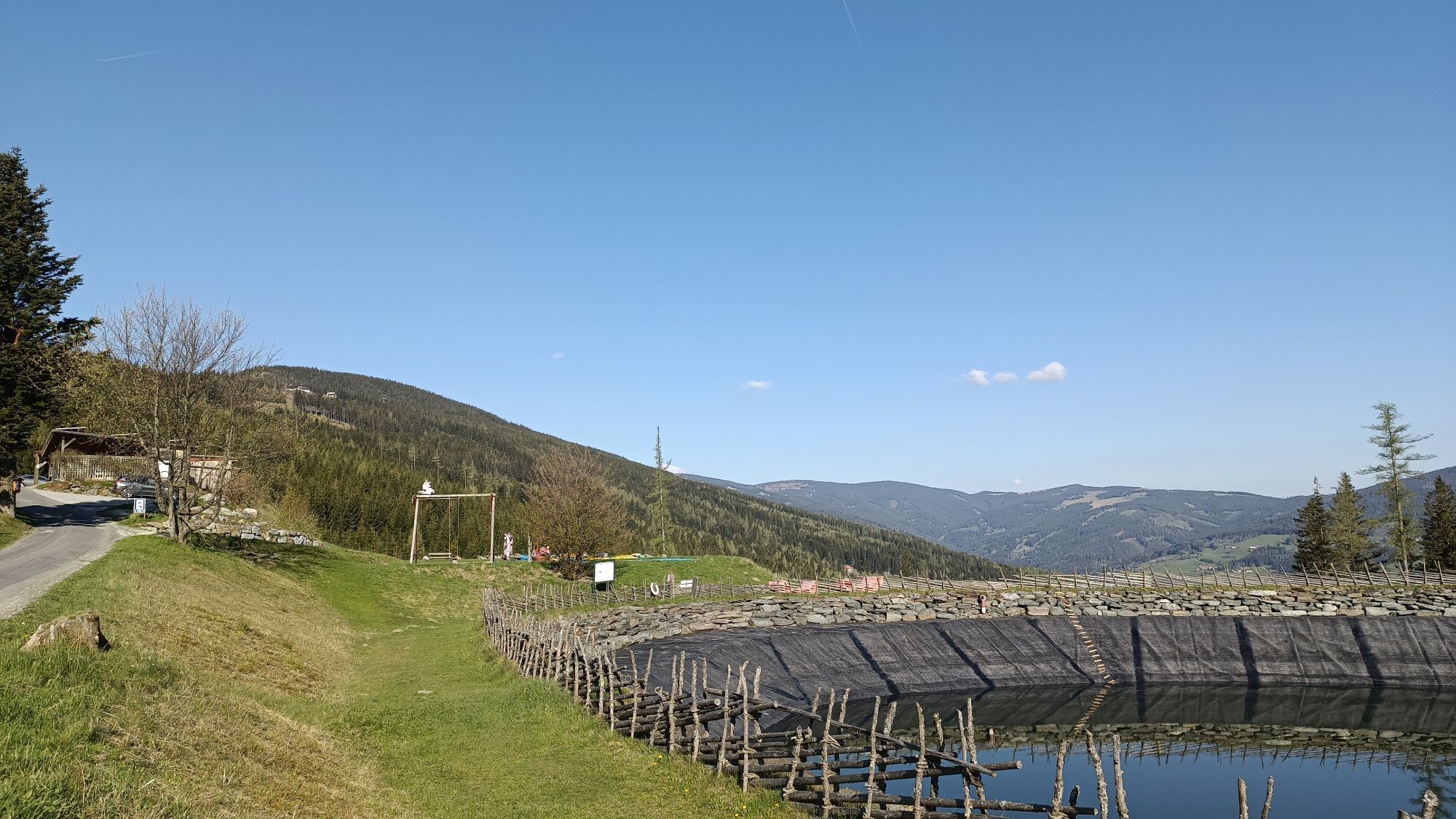
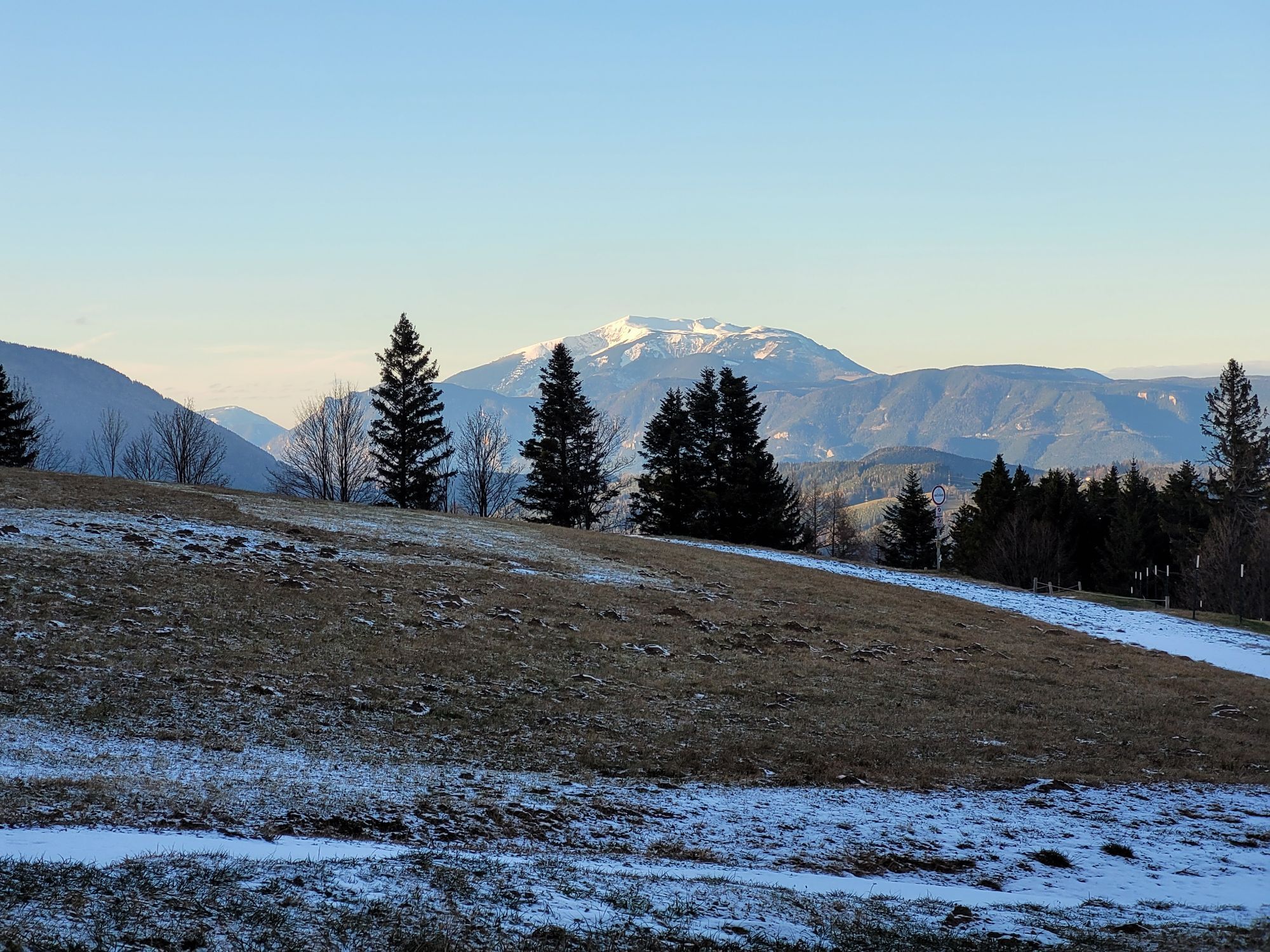
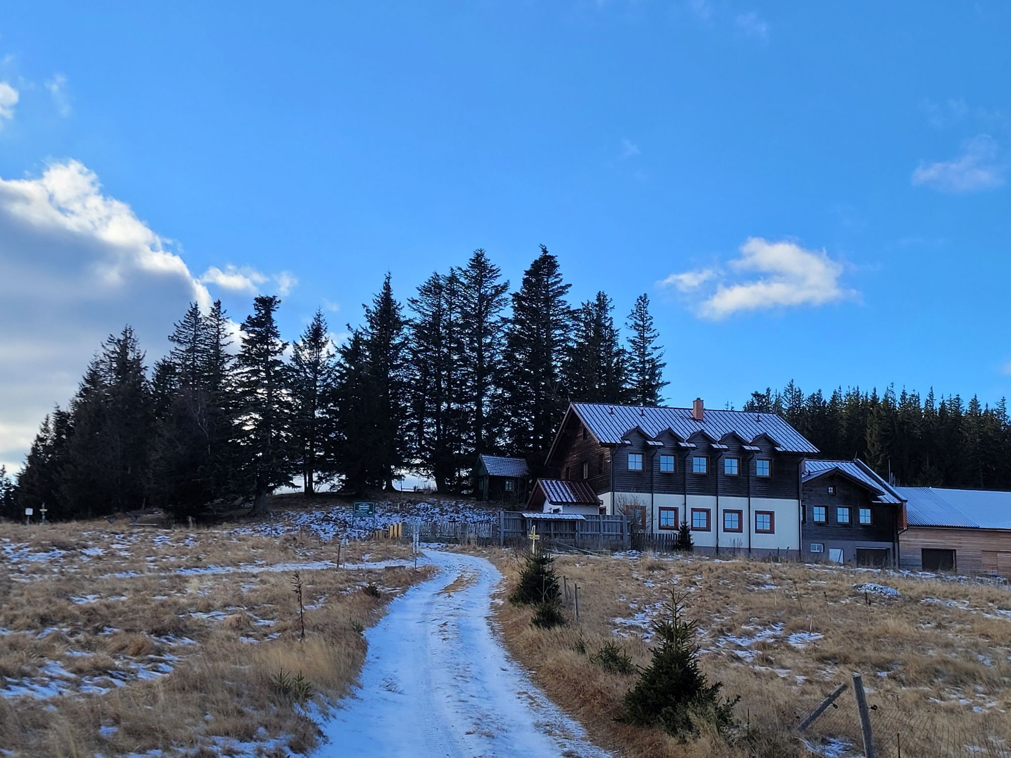
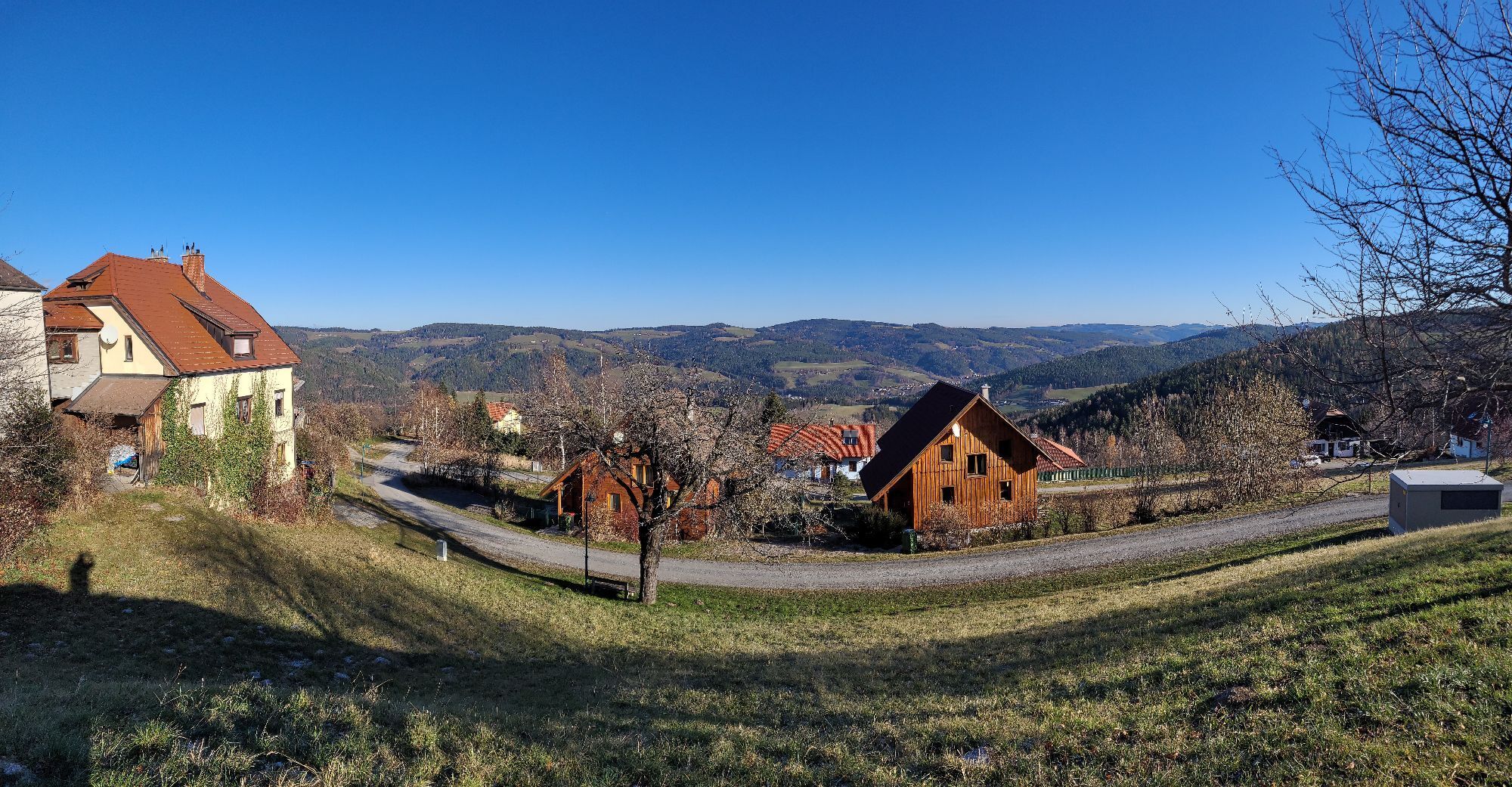
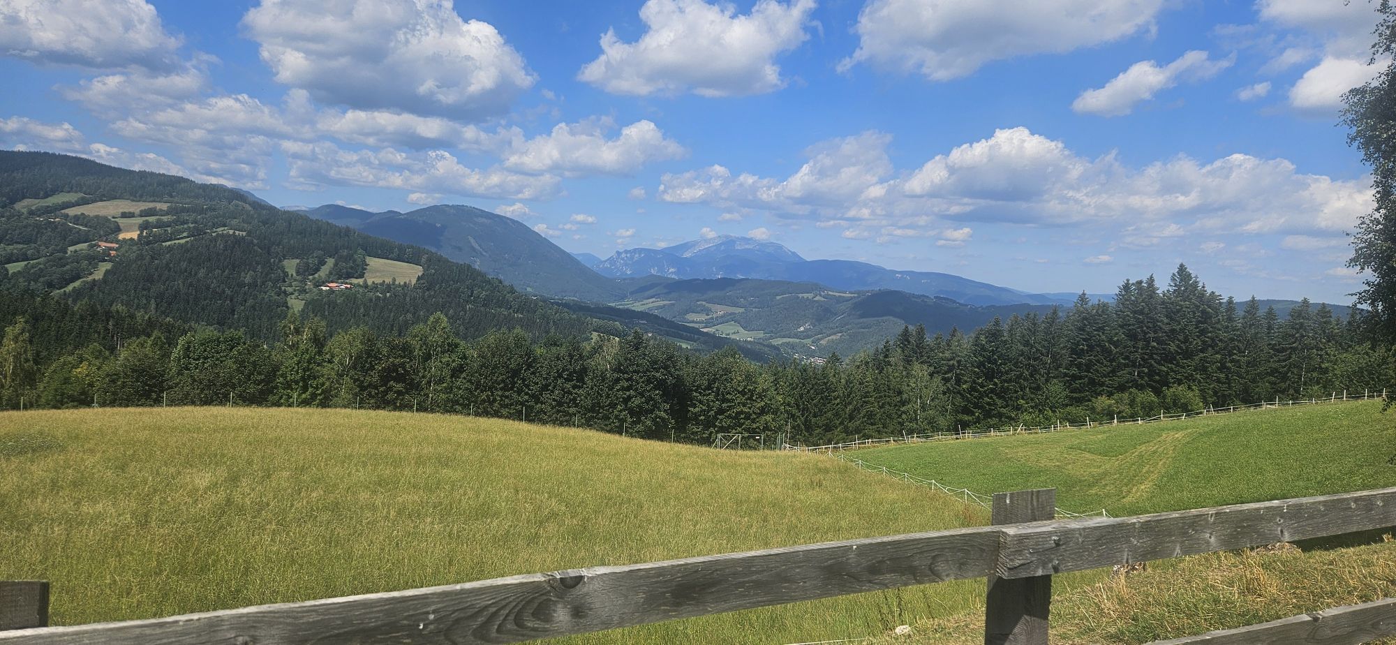
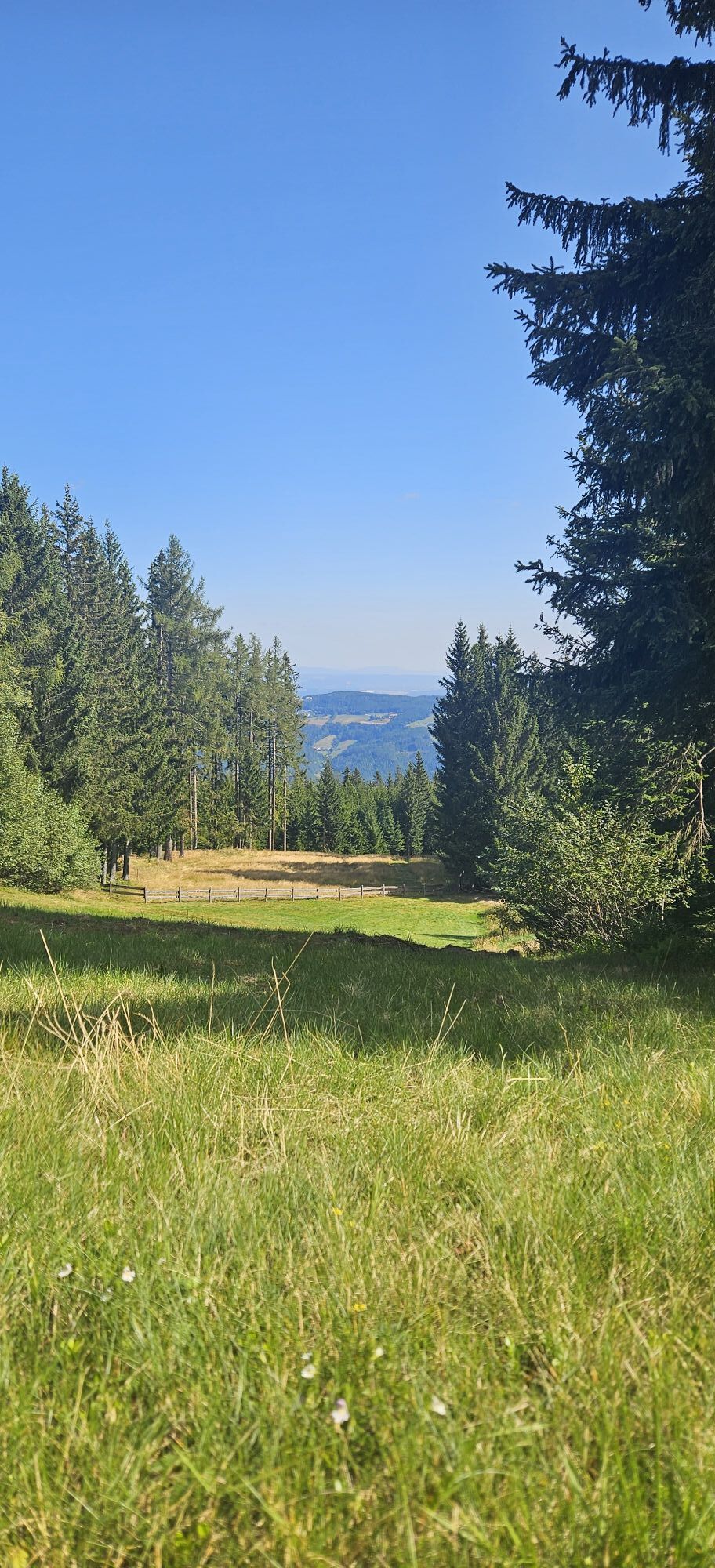
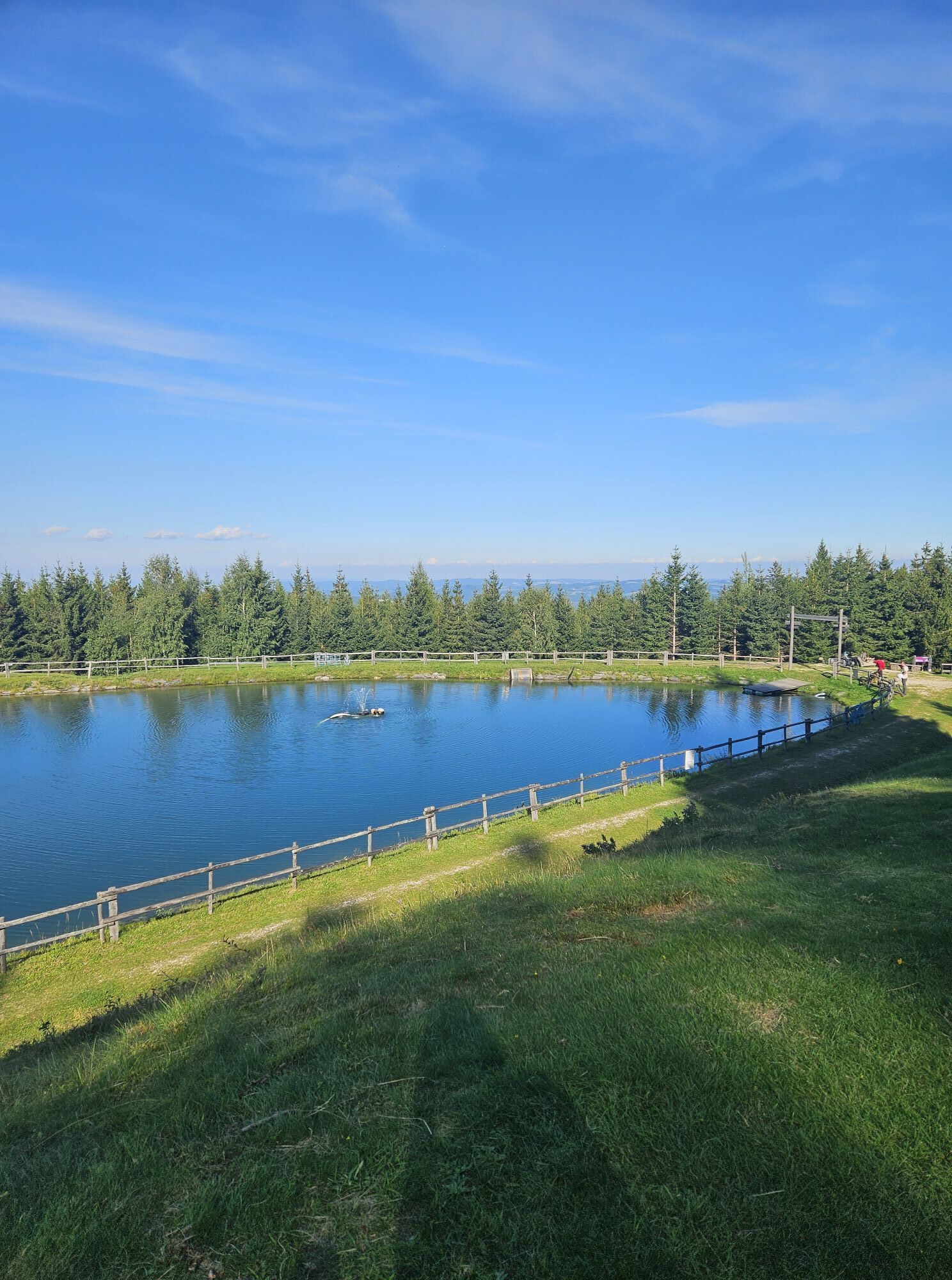
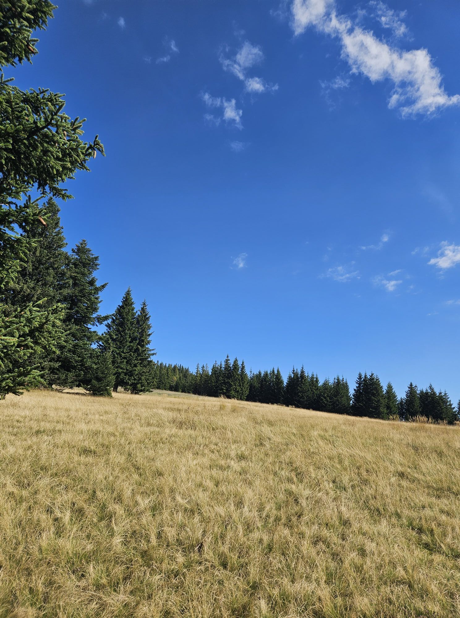
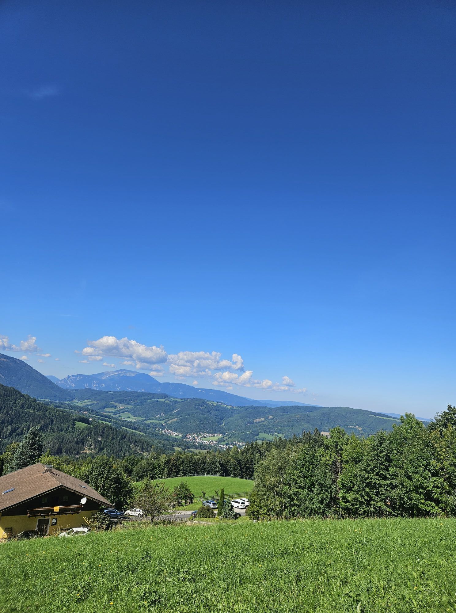
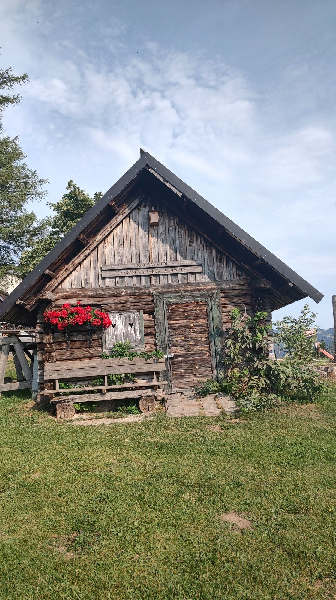
This hike offers an atmospheric crossing of the wooded Kampsteiner Schwaig, the highest point of this hike on the Wechsel. Here you have a wonderful panoramic view. Particularly impressive is the rustic...
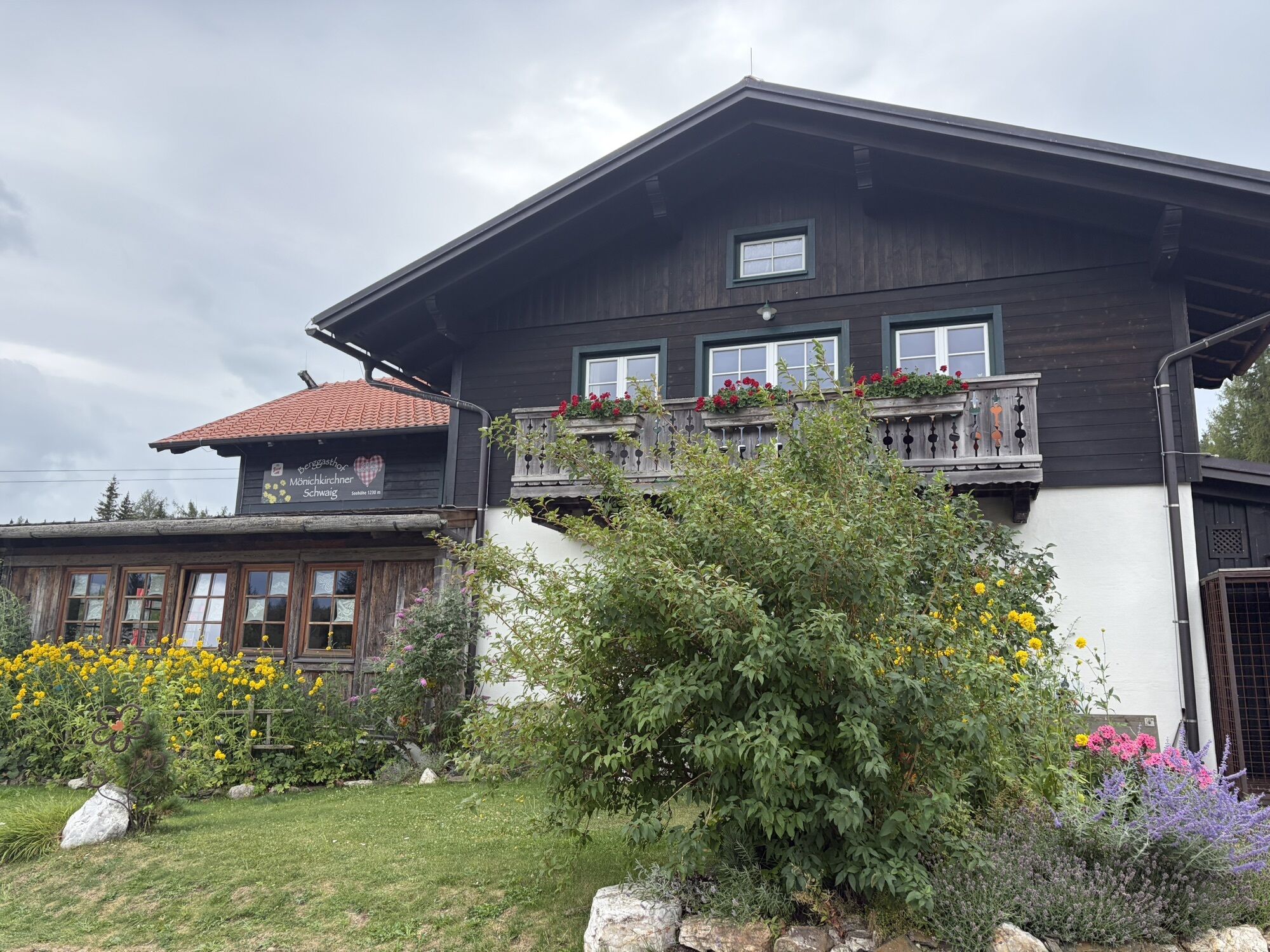
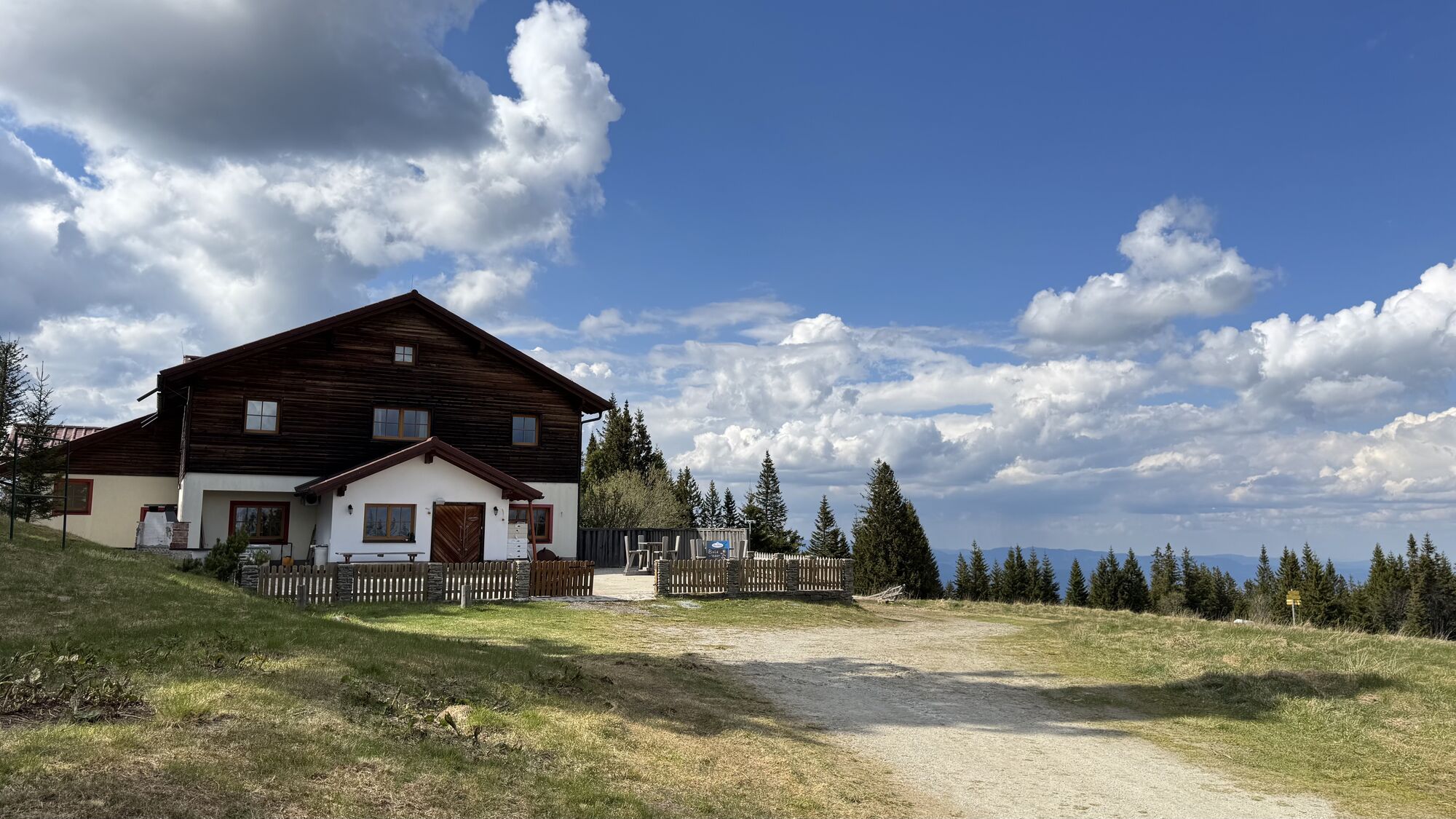
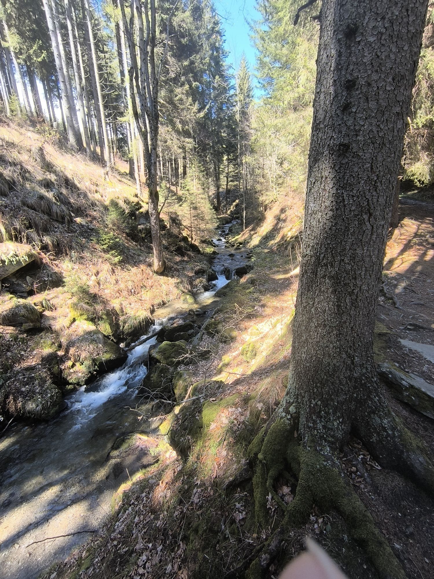
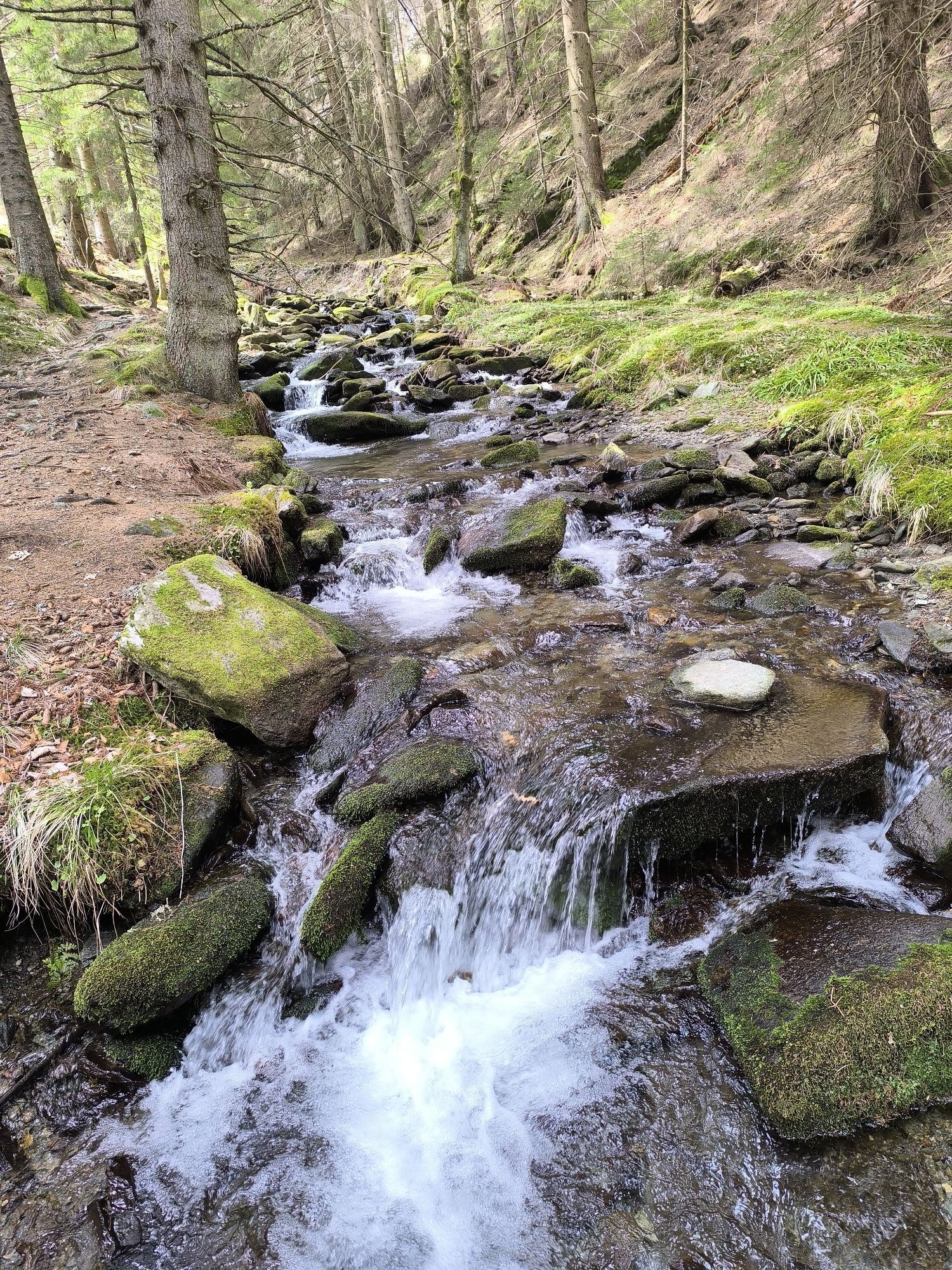
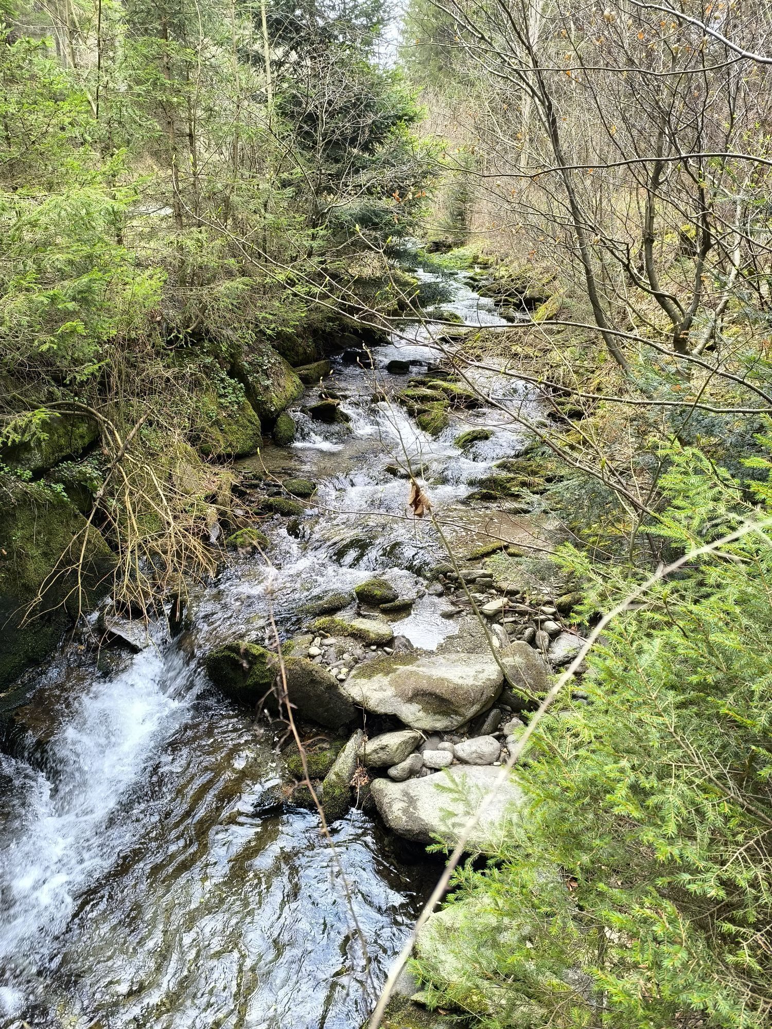
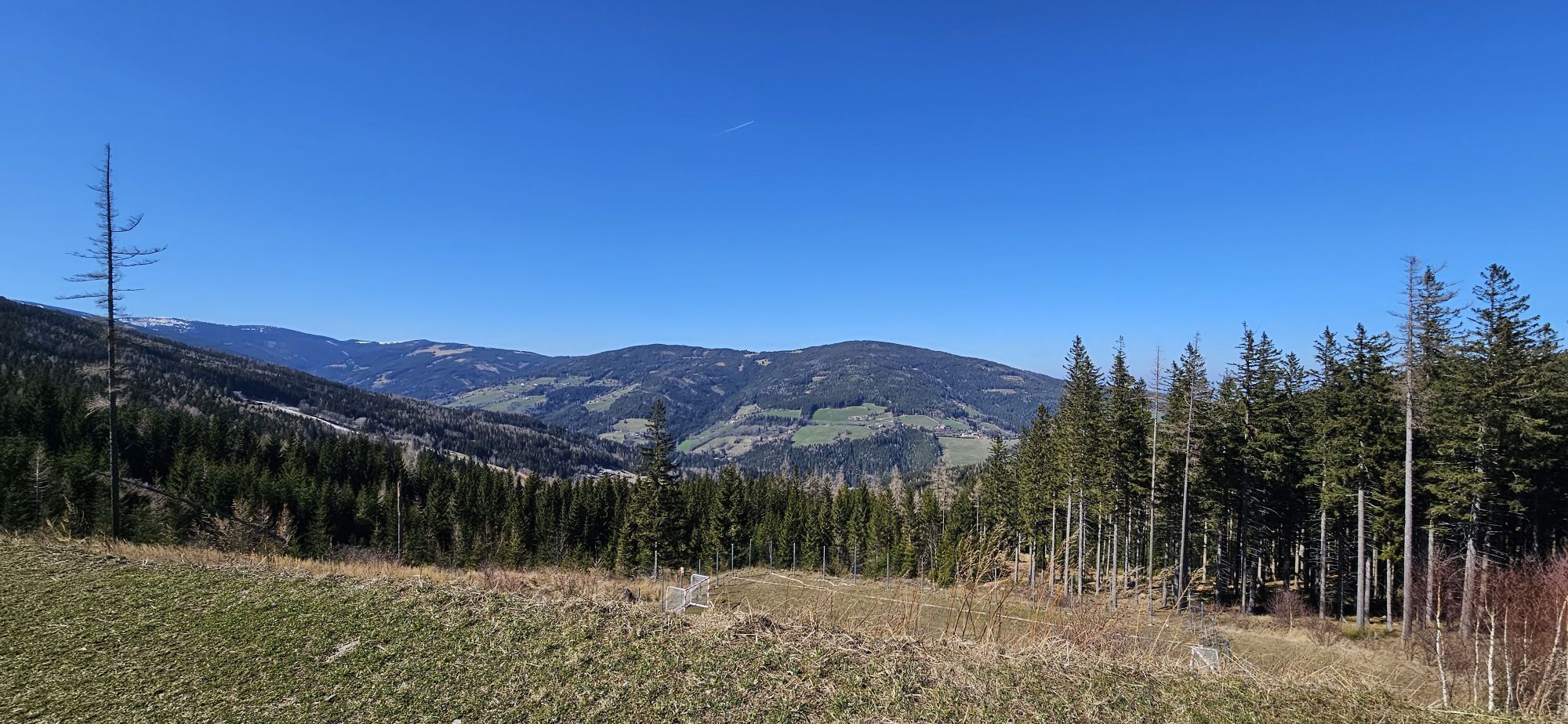
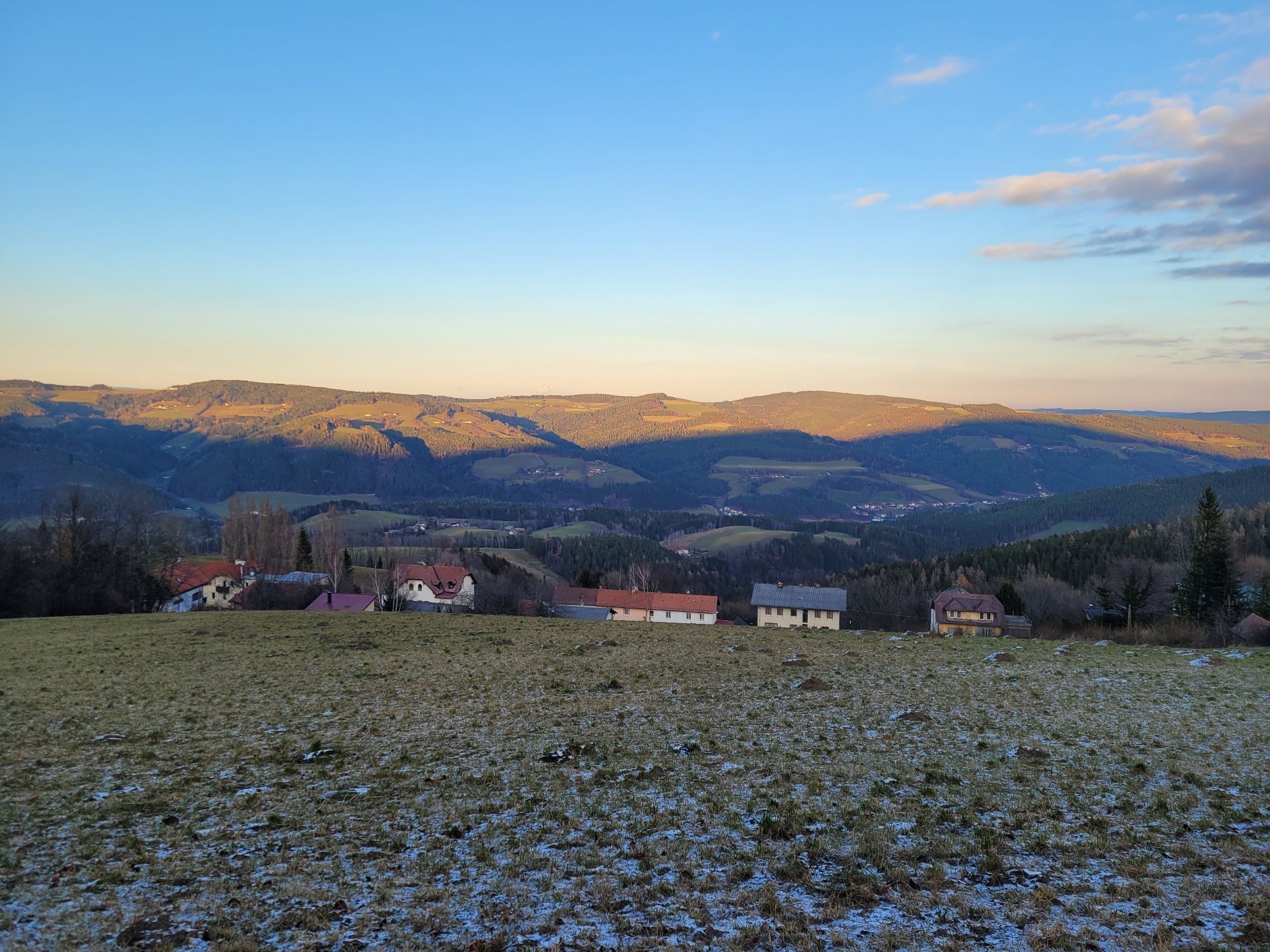
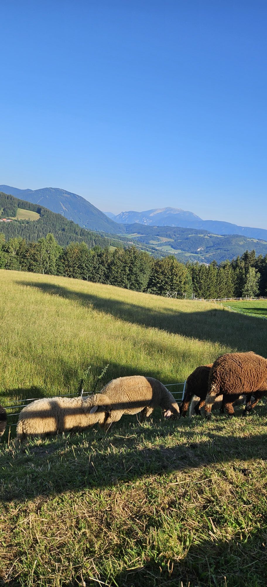
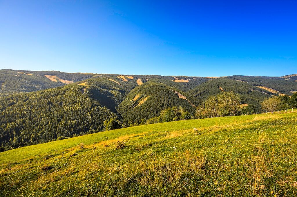
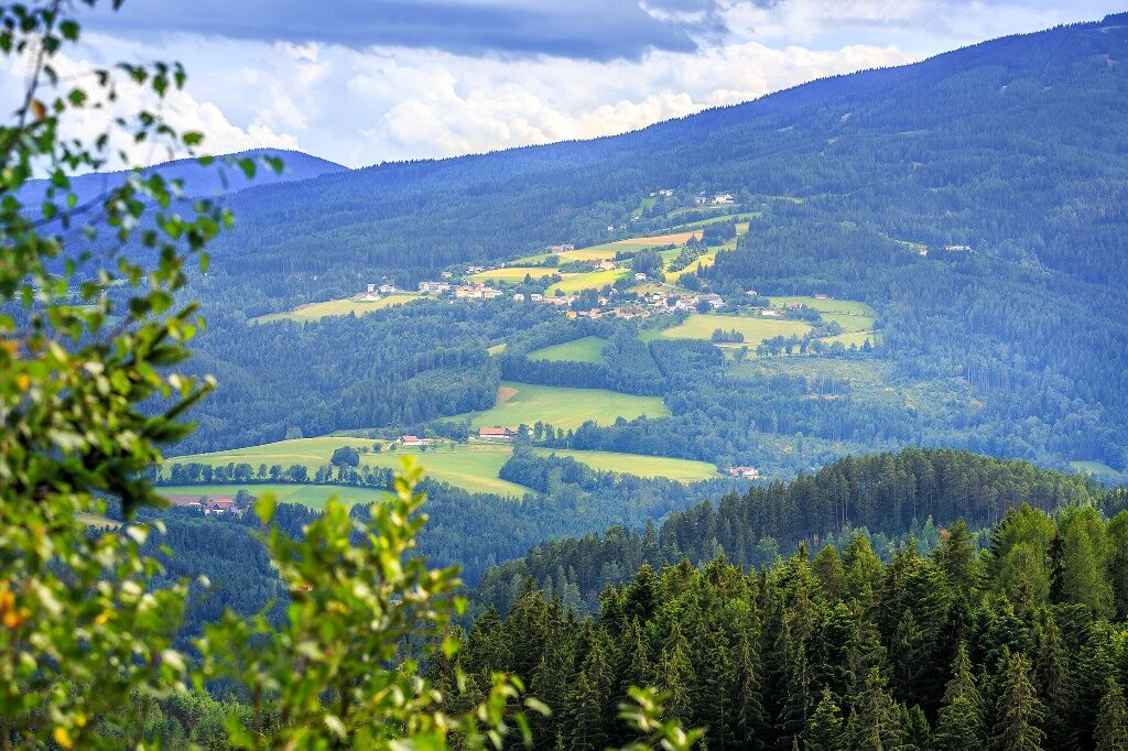
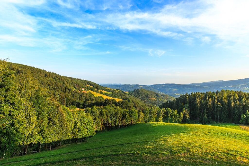
<p>This hike offers an atmospheric crossing of the wooded Kampsteiner Schwaig, the highest point of this hike on the Wechsel. Here you have a wonderful panoramic view. Particularly impressive is the rustic mountain farming cultural landscape, radiating perfect harmony. Along the way, you pass through St. Corona – the well-known pilgrimage and mountain village – as well as Mariensee, which is perceived as a kind of lumberjack colony. The destination is Mönichkirchner Schwaig, where the chairlift top station is located and which serves as a kind of base camp for the further conquest of Hochwechsel halfway up the mountain.</p>

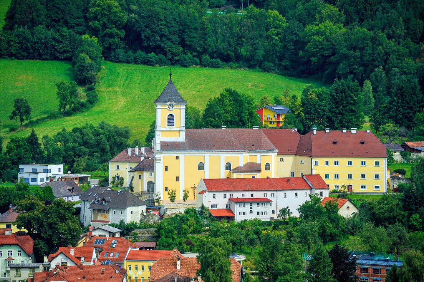
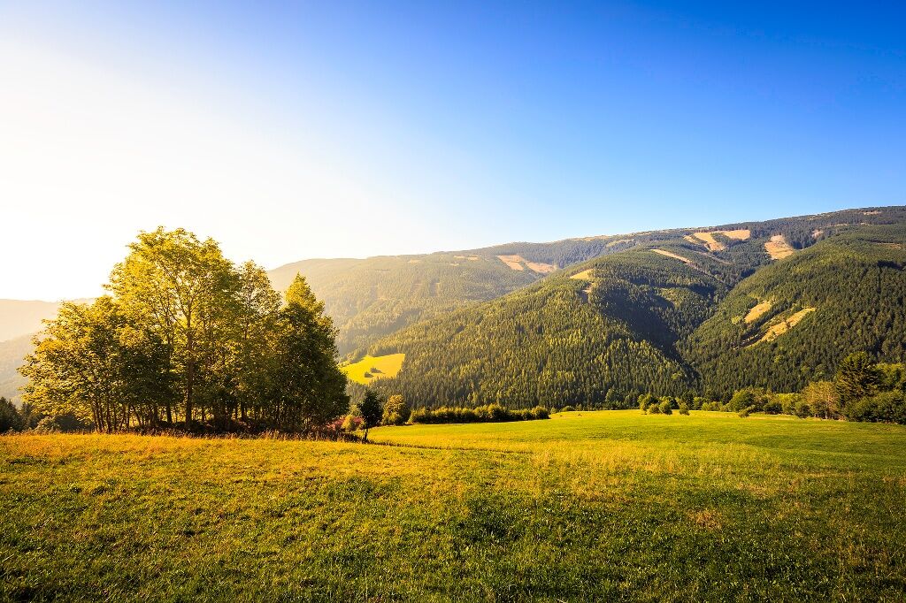
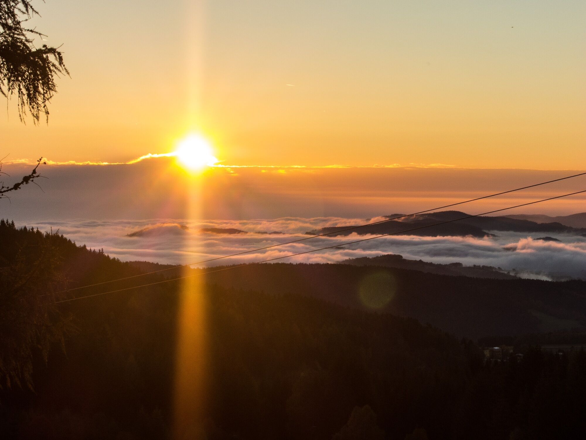
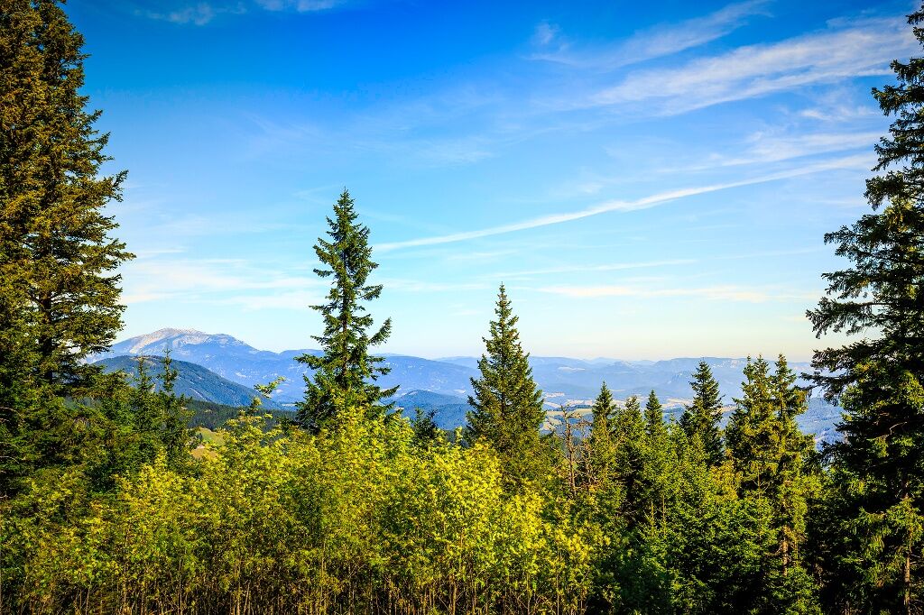
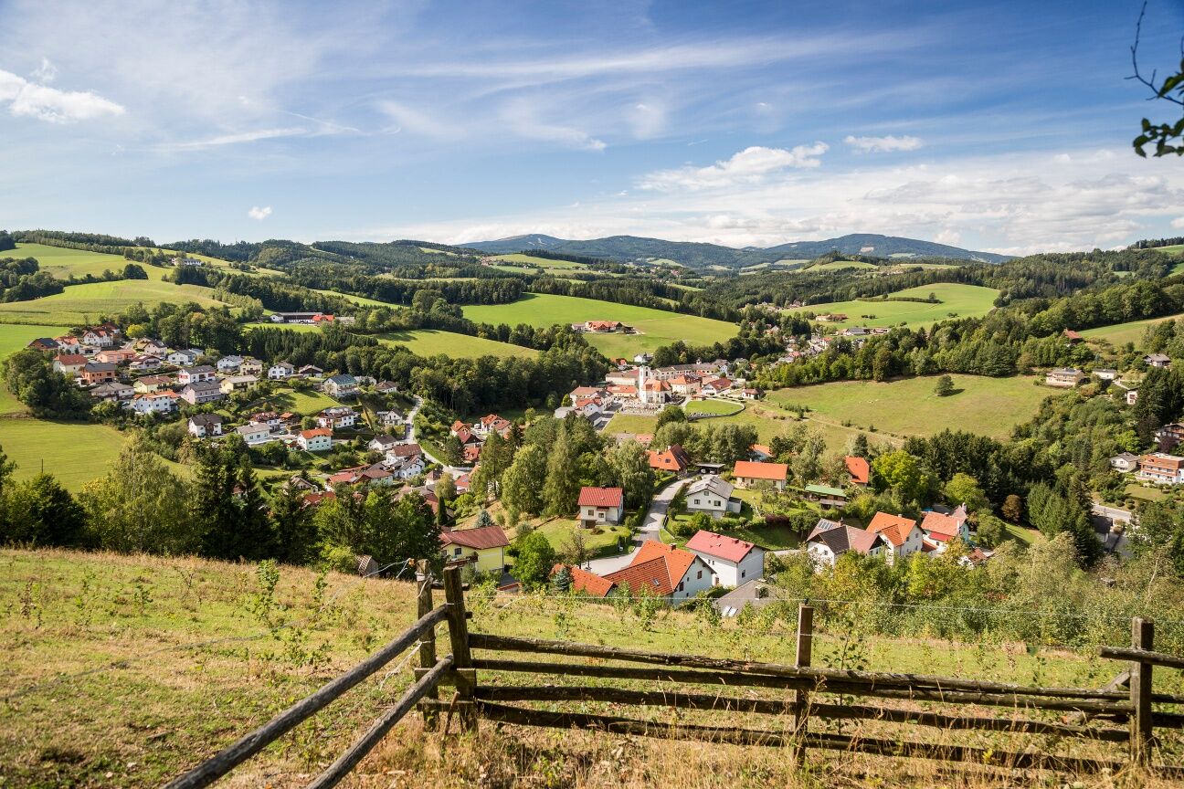
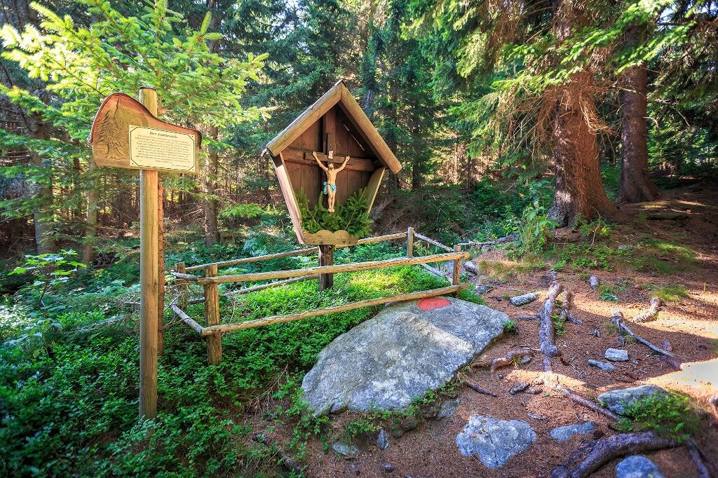
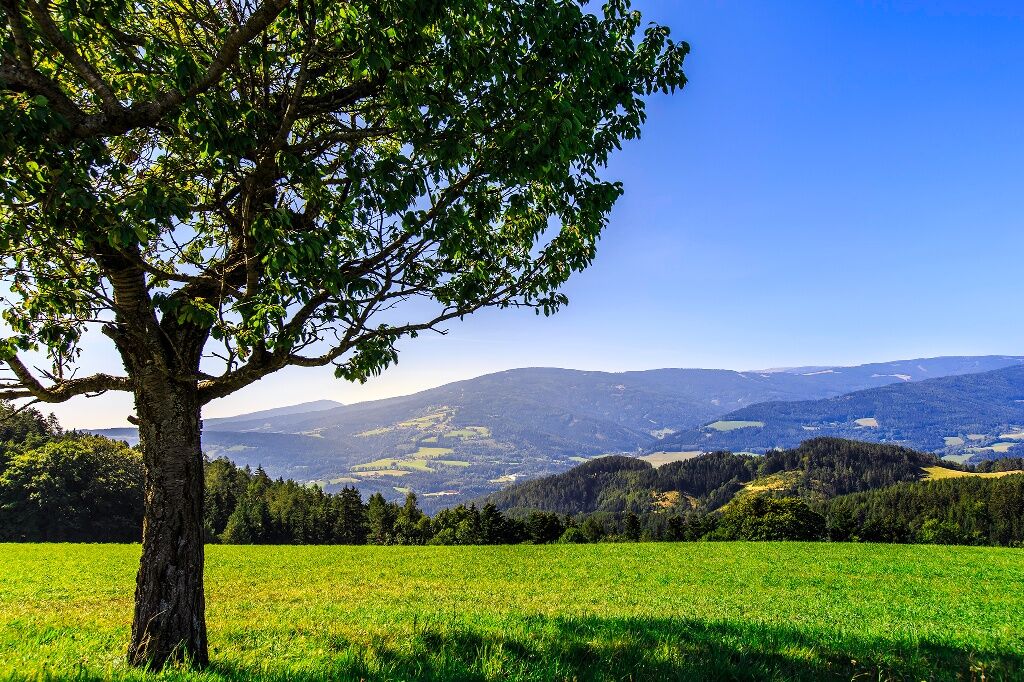
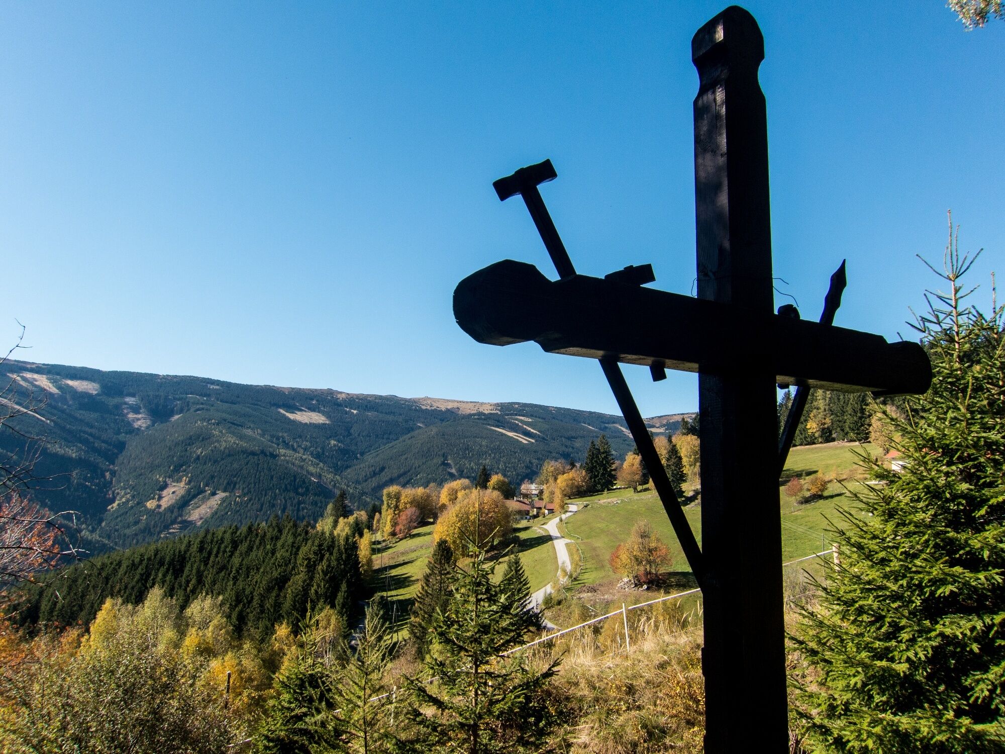
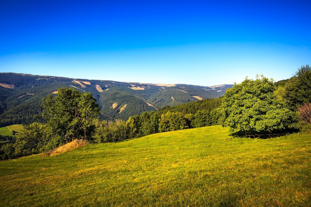
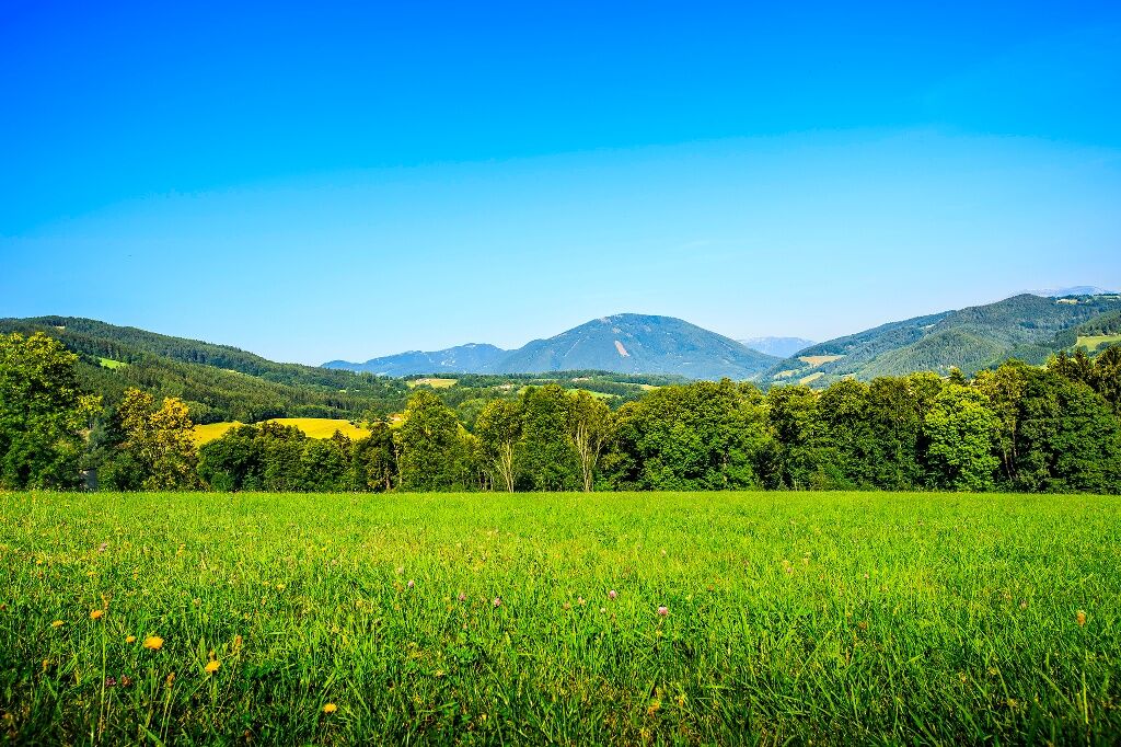
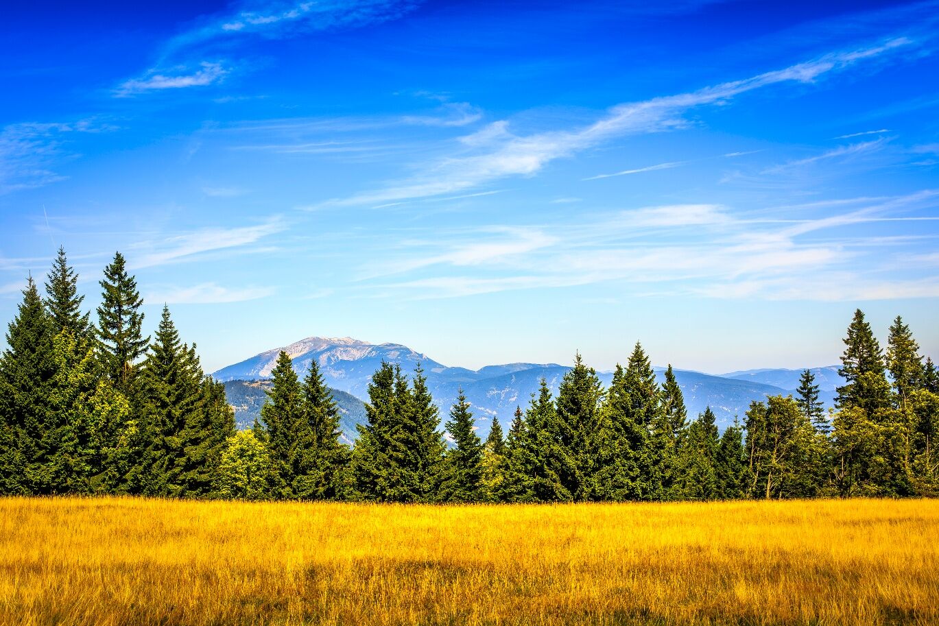
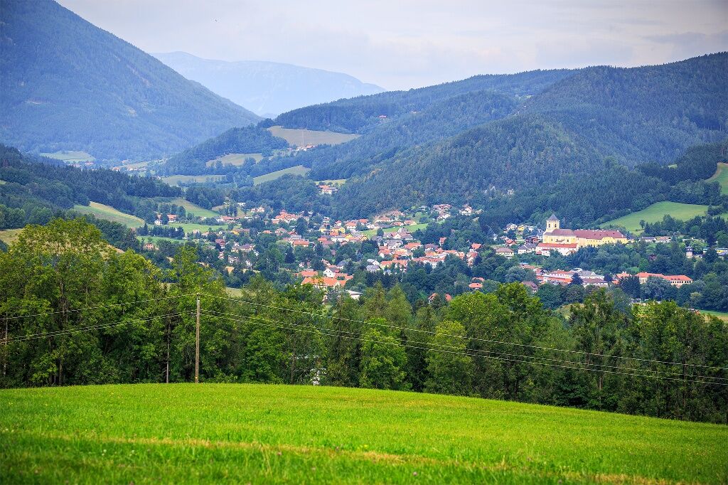
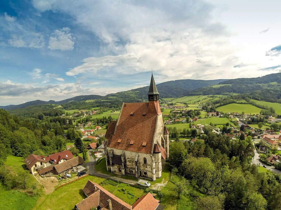
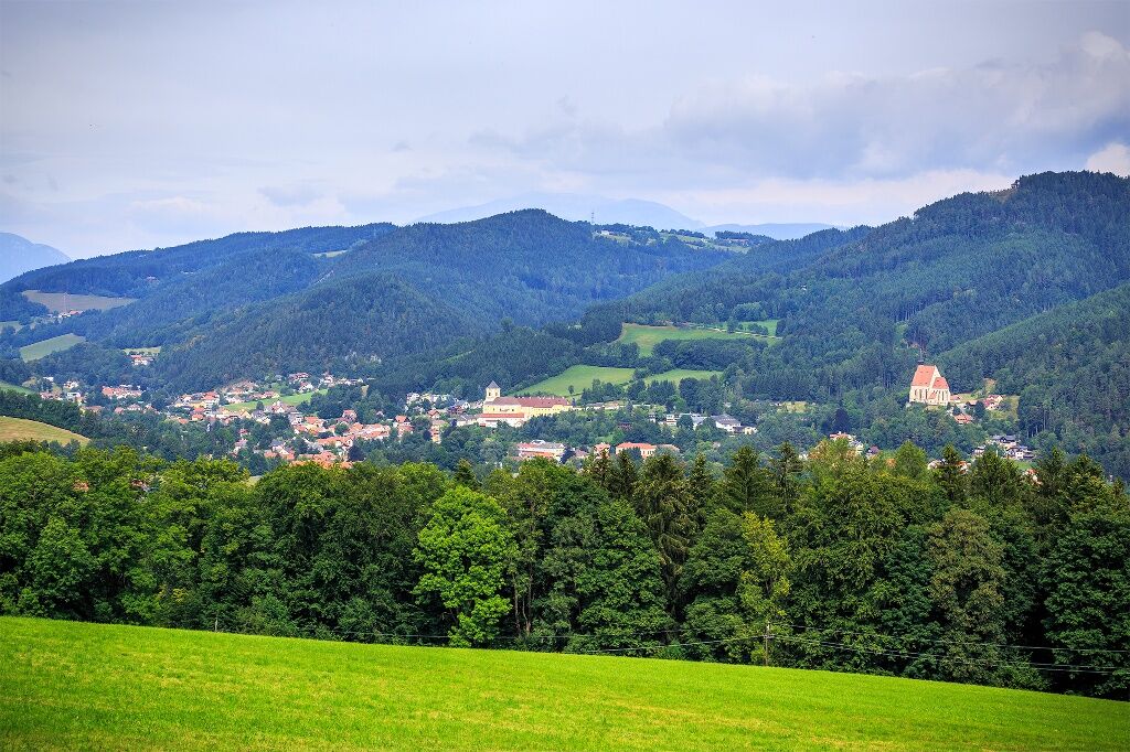

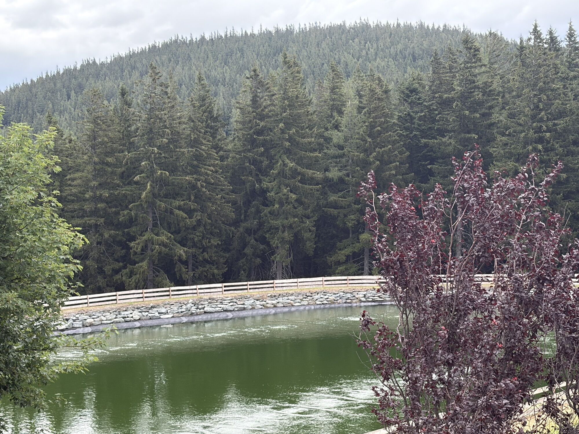
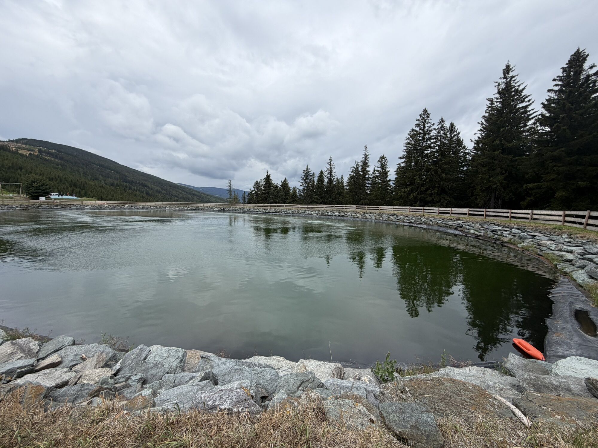
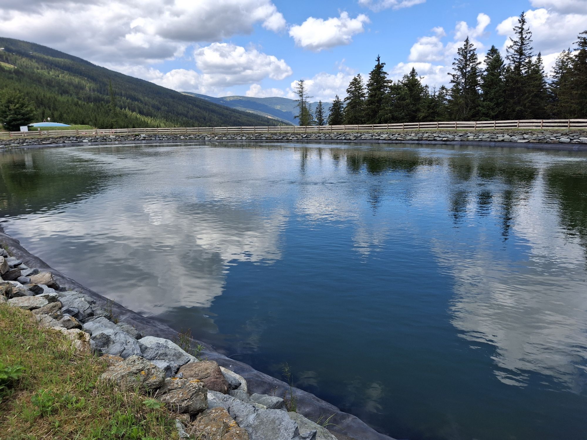
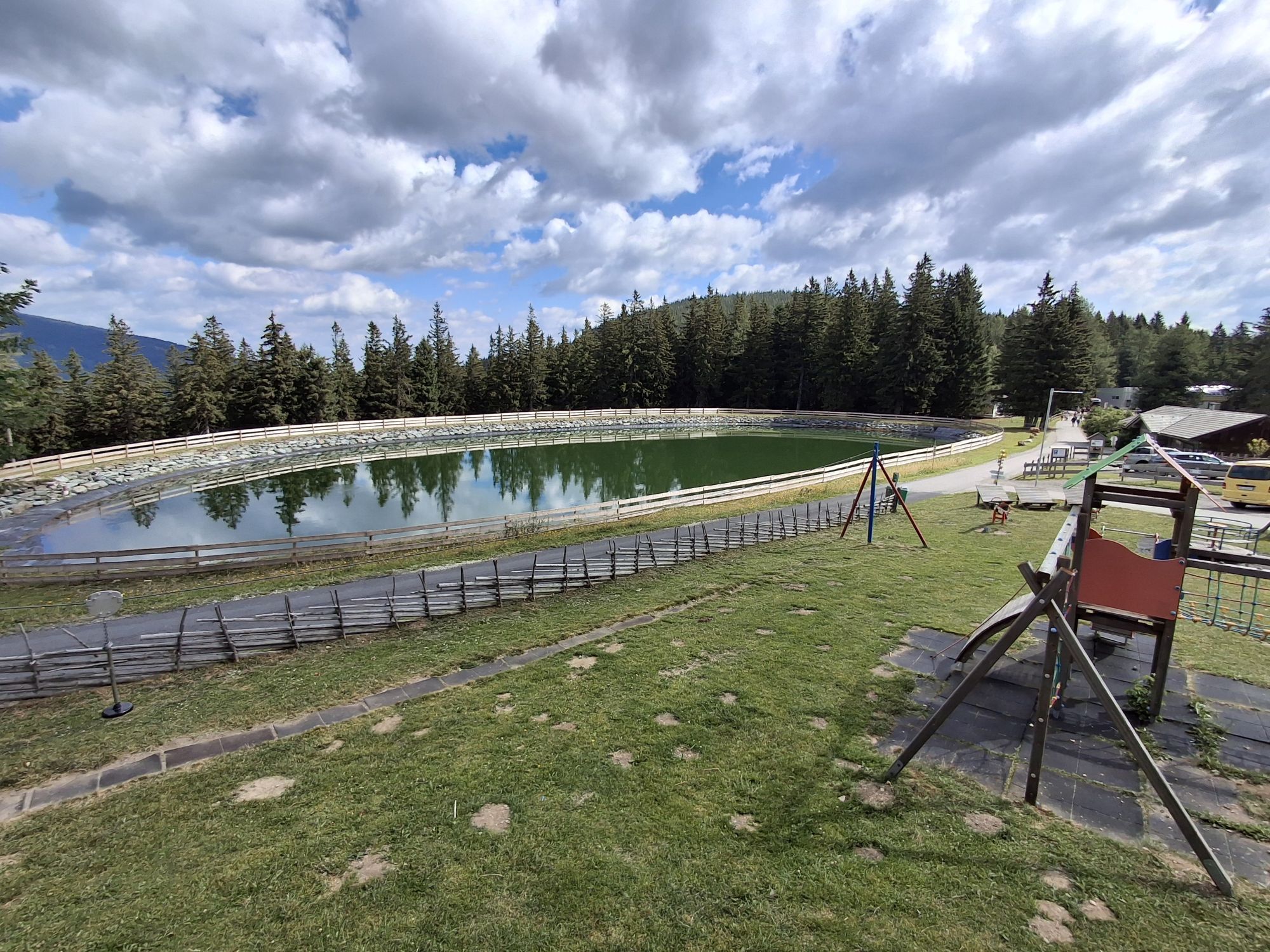
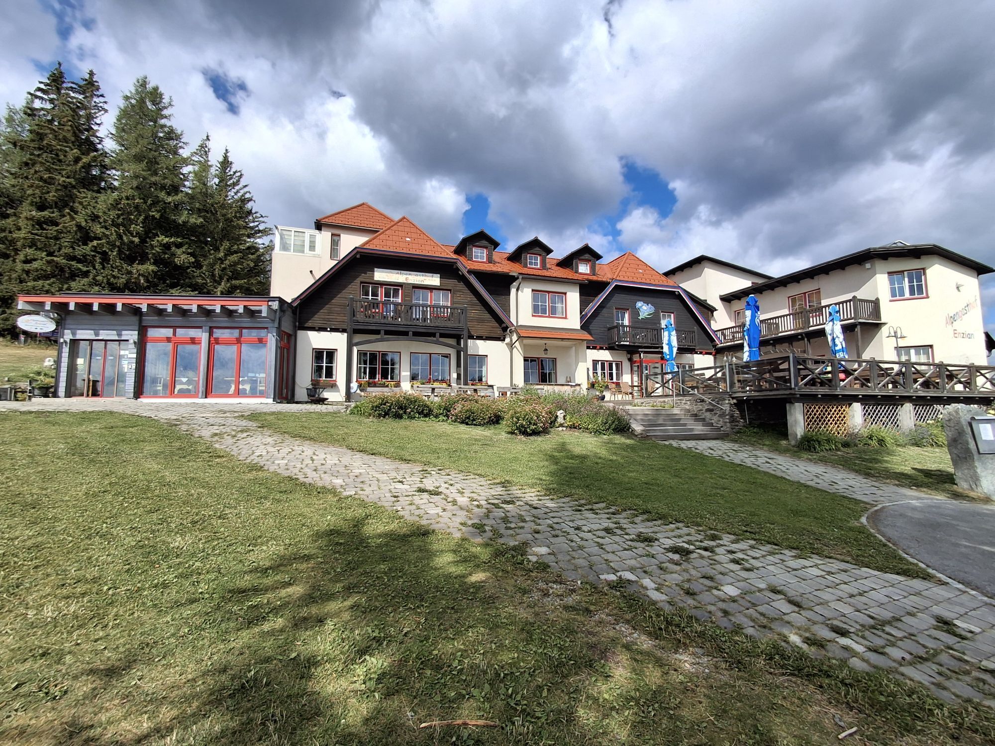
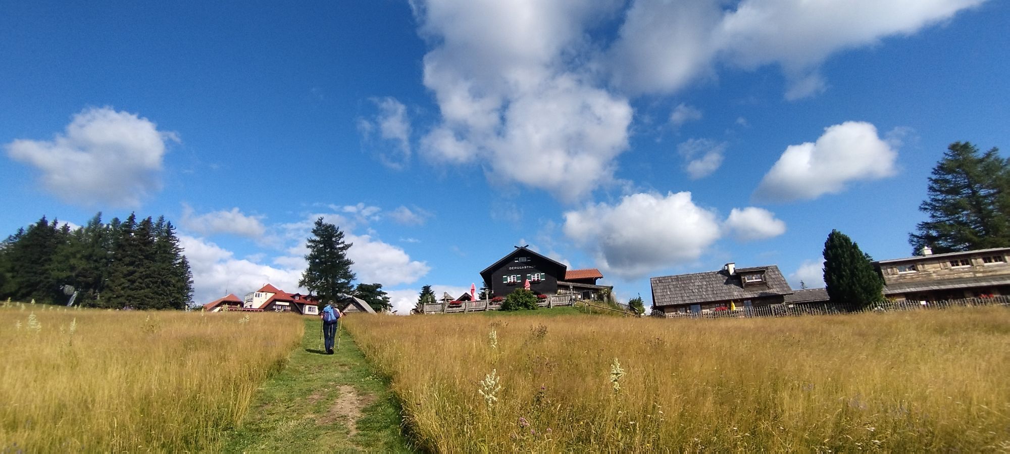
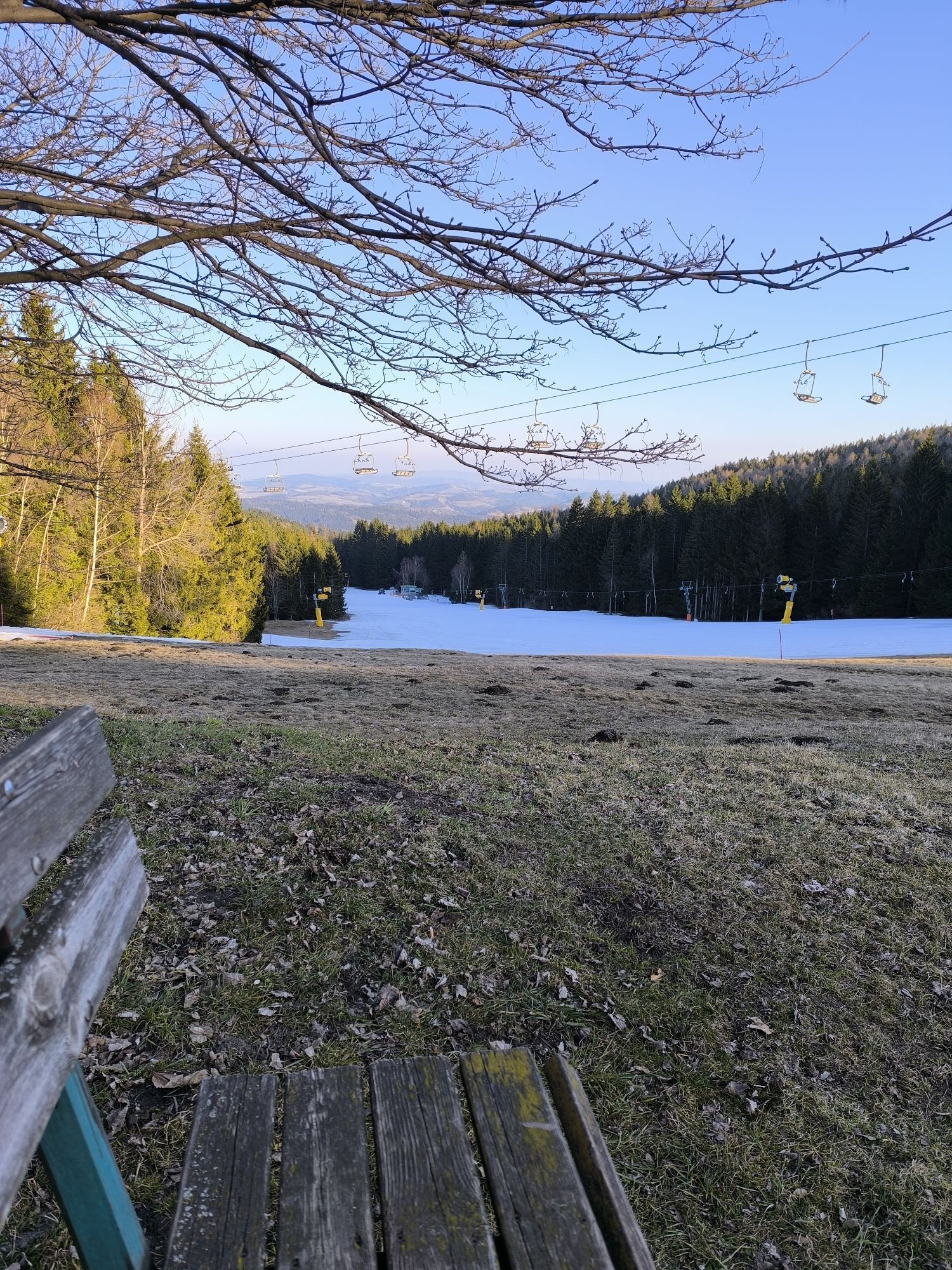
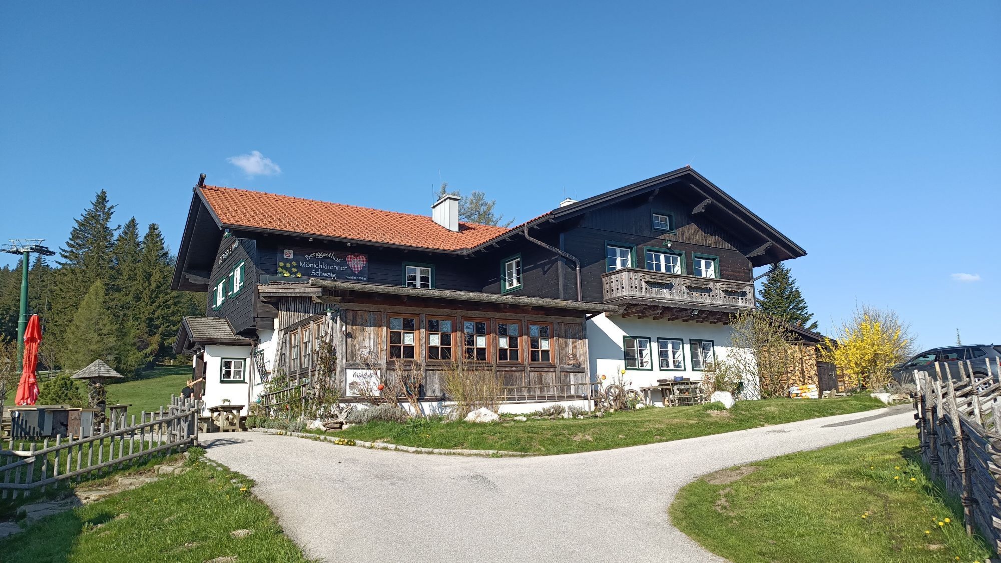
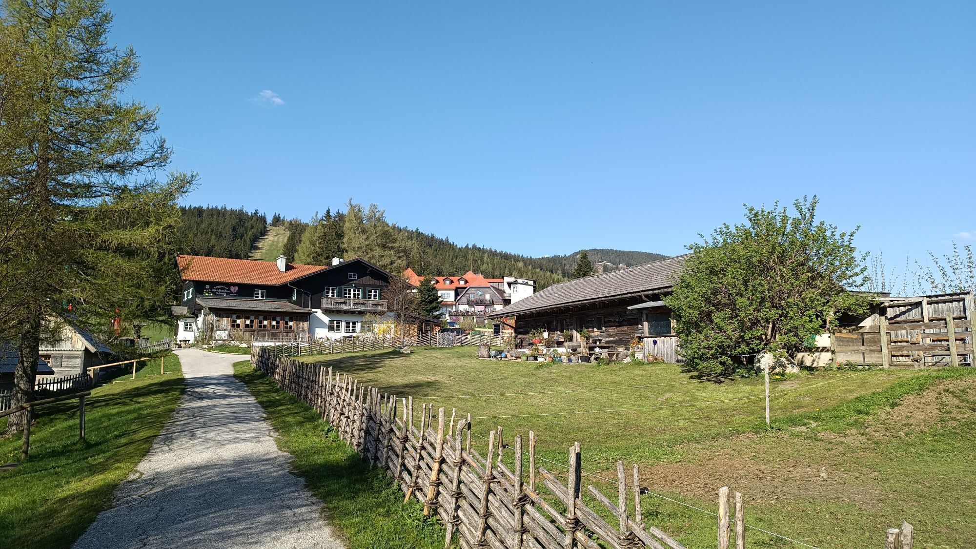
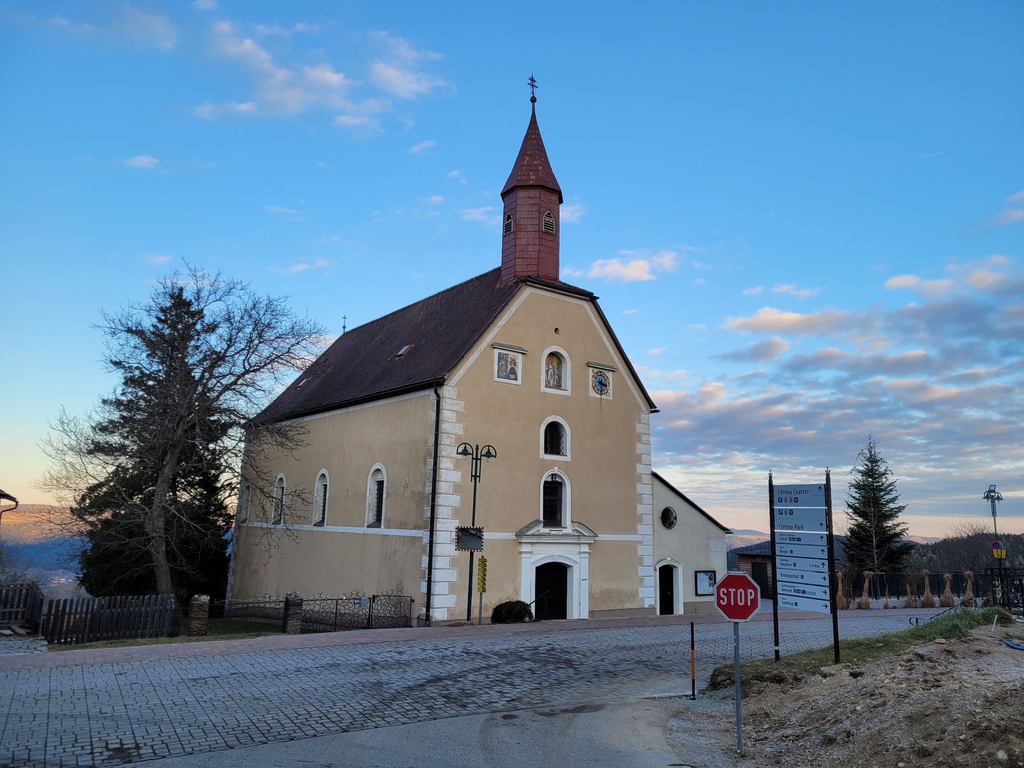
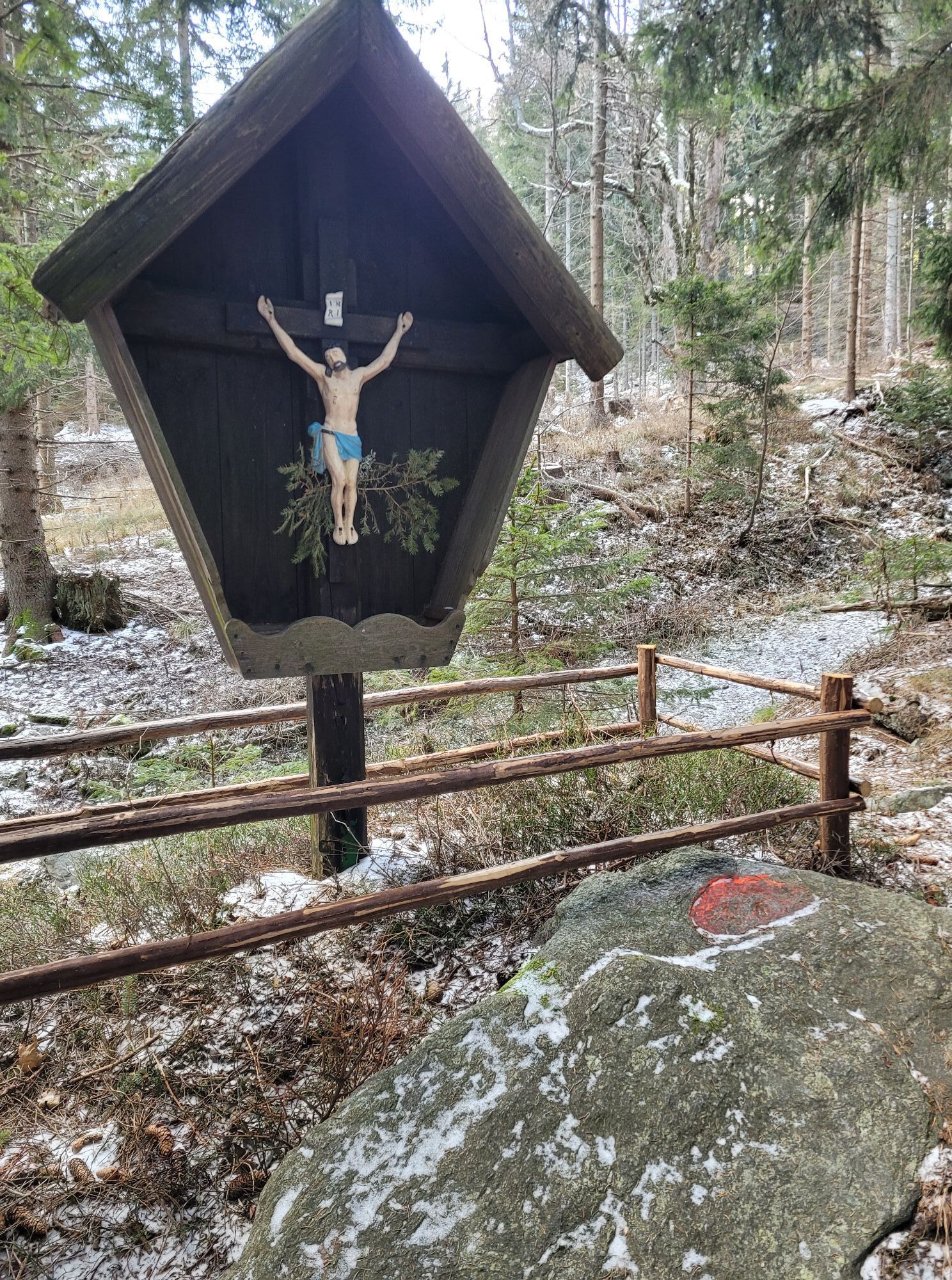
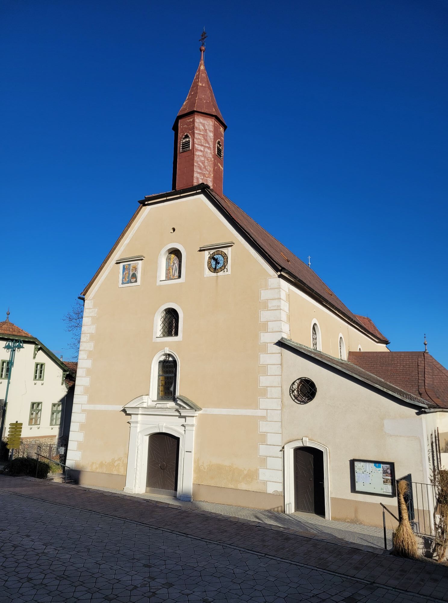
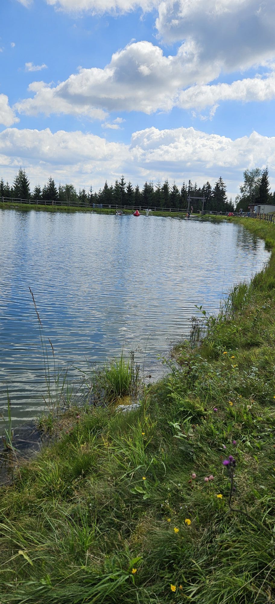
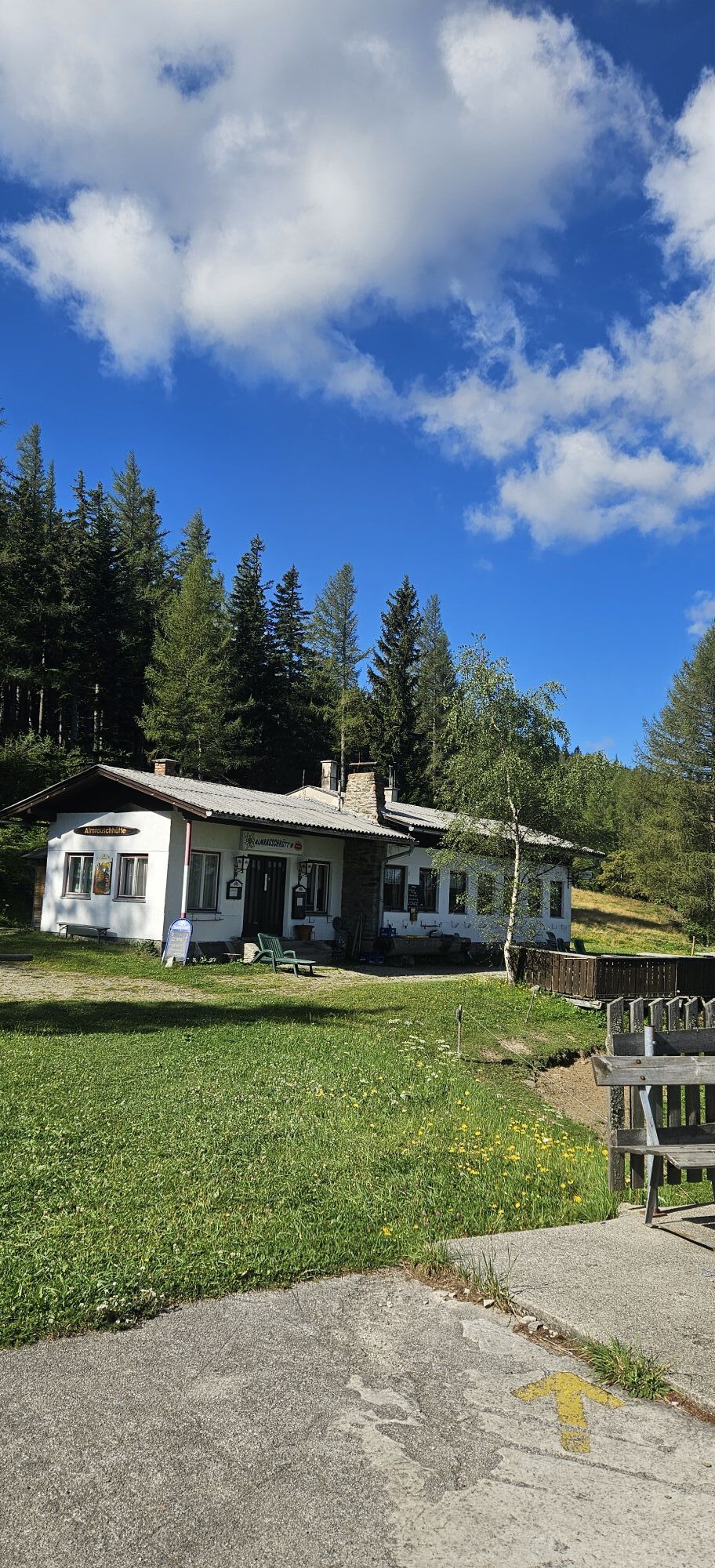
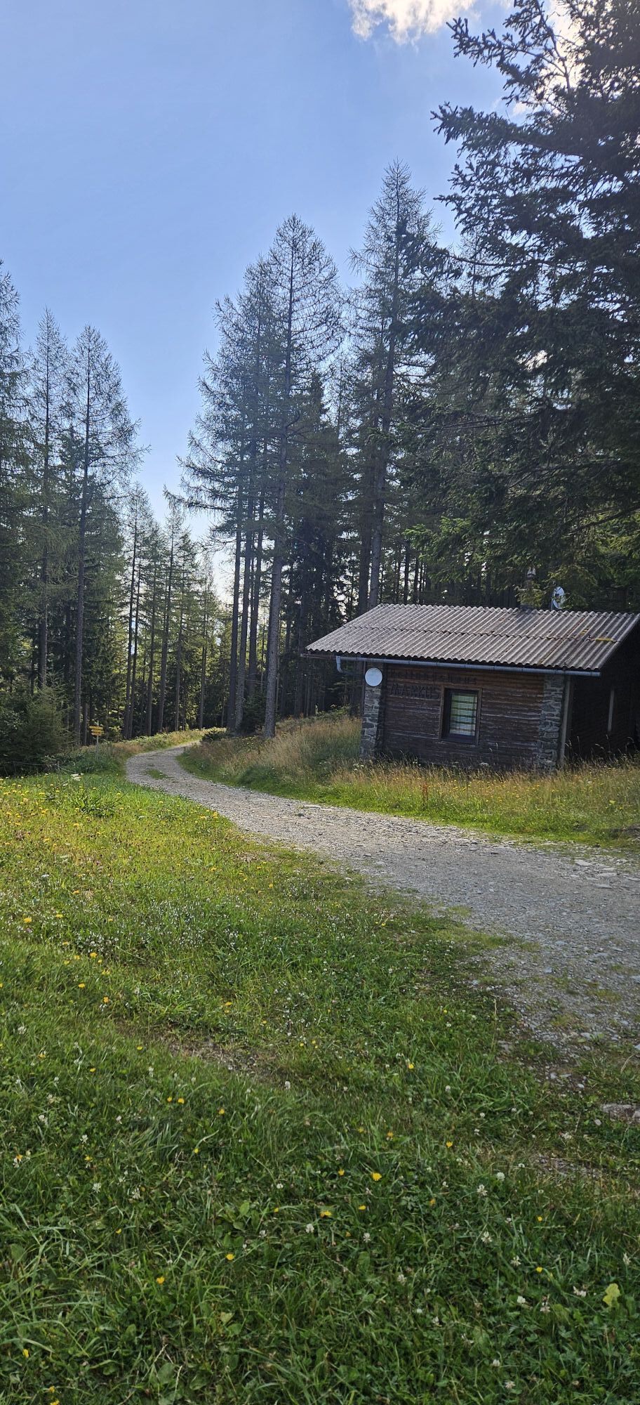
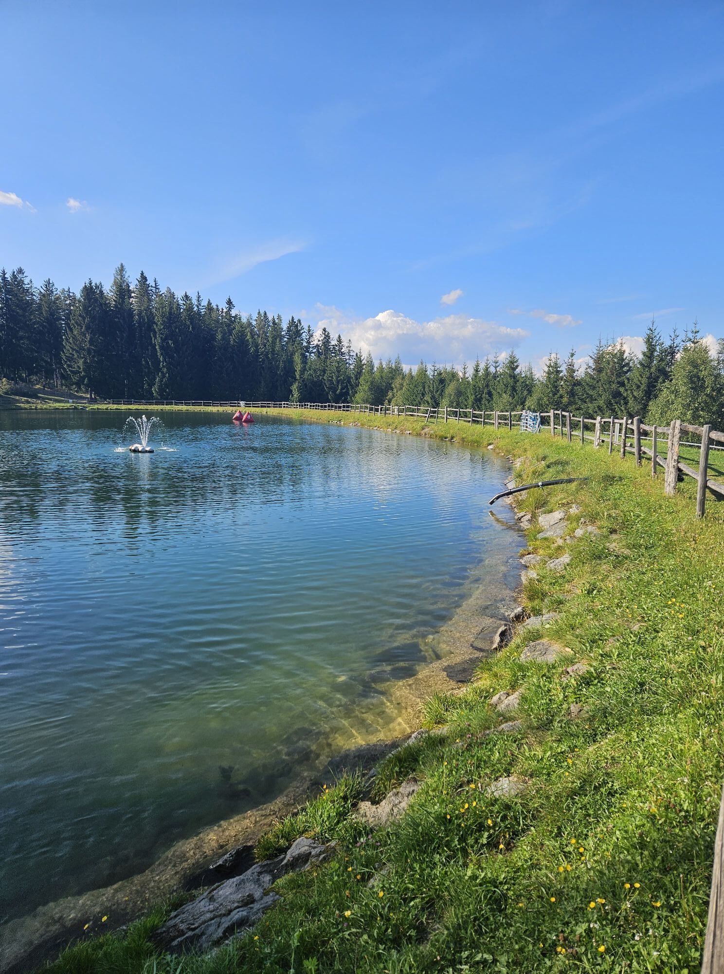
<p>The Regional Route G starts in the town center of Kirchberg/Wechsel. The first meters lead eastwards on the main road to the Gasthof St. Wolfgang, shortly thereafter we turn right over the Feistritz bridge. Alternatively, from the starting point, you can also go southwards to the Feistritz and thus reach the path next to the river to the mentioned bridge. We follow the road and turn right at house number 78 towards Molzbachhof. At the entrance to Molzbachhof, we pass directly, pass an old waterwheel and hike gently uphill to the Sachsenbrunn Gymnasium. At the parking lot, we keep right and follow the hiking trail towards St. Corona. We climb a forest path, walk along the edge of a row of trees to a farm road and turn left onto the street.</p><p>The section in Kirchberg am Wechsel between Wieden and St. Corona is closed from July 2021 until further notice. An alternative route is via the street in front of the chapel to the right, then follow the street to the left to St. Corona until you meet the signposted route again at the church in St. Corona.</p><p>Past a chapel and a farm, we come to a fork in the road. Here we turn right onto the uphill hiking trail to St. Corona. Shortly after the cemetery, we reach the center of St. Corona.</p><p>We turn right towards the church, turn left here onto Bergstraße and shortly afterwards keep left. A few minutes later, we leave the asphalt road sharply right to the top station of the summer toboggan run. We now follow the path uphill through the forest, partly accompanied by the toboggan run. After the top station, we pass the guesthouse-pension Orthof and turn right after the children's playground onto the Ant Trail. We hike the former ski slope uphill to the panorama pond, walk past the adventure playground, and continue following the hiking trail towards Kampsteiner Schwaig. Past the Markus rescue house and the Almrausch hut, we follow the forest road mostly slightly uphill towards Antrittsstein and Kampsteiner Schwaig. At the Schwaig, we walk past to a fork in the path and follow the green-marked path downhill towards Mariensee. Shady forest paths lead us several times crossing a forest road downhill to three crosses. From here, we look towards Mönichkirchner Schwaig, but we still have an ascent and descent ahead of us.</p><p>After the three crosses, we continue a short distance on the farm road southeast and turn right onto the pasture after a few meters. We now walk down the pasture, orient ourselves on the small tree island in the middle of the pasture by walking right past it, and then relatively straight downhill in the fall line. We pass through a turnstile and walk down the next pasture, continue left at the end of the pasture along the cart path and pass through a pasture gate. Here we turn directly onto the access road to Hof Leitenbauer and follow the path around the farm. A green-marked hiking trail welcomes us and leads us down to the road at Mariensee. We walk down the street through Mariensee and turn right before the guesthouse Reiterer over the Großer Pestingbach. At the next fork, we keep right and turn right at the upcoming farm onto the cart path into the forest. We now follow the hiking trail steadily uphill, partly through dense forest, to a gravel road. This leads us further uphill with views of the valley to a hairpin bend, where we continue straight along the meadow path. Only a few moments later, we turn sharply right, climb uphill, and turn left onto the hiking trail to Mönichkirchner Schwaig. We pass under cables of a lift system, walk past a farm, and meet a fork in the path again. For the way to Mönichkirchner Schwaig, we take the left initially flat path. Later we briefly walk through a water ditch and climb to the top station at Mönichkirchner Schwaig. Here the Regional Route T ends.</p><p>Overnight accommodation is available at Alpenhotel Enzian. From here, you can follow the path on the Wiener Alpenbogen to Hochwechsel or walk downhill in the opposite direction to Mönichkirchen and a bus stop. Knee-friendly descents to Mönichkirchen are possible by cable car or scooter.</p>
<p>Always carry suitable <strong>maps</strong>. Wear sturdy <strong>shoes</strong> appropriate for the route, take sun and rain protection as well as water and a small snack. Take your <strong>mobile phone</strong> with you and save the emergency number of the mountain rescue: 140</p>
<p>Your hikes in the Vienna Alps should be a thoroughly enjoyable and safe experience. Please therefore note the following:</p><p><strong>Preparation</strong></p><p>Make sure the route you choose matches your mountain experience and your <strong>fitness</strong>. Check the <strong>weather forecast</strong> in advance. Weather in the mountains can change suddenly. Always start suitably equipped (e.g., rain protection).</p><p>Check whether the <strong>huts and snack stations</strong> you want to visit are open. <strong>Inform</strong> someone about your route choice and your planned return before you set out.</p>
<p>If coming from Vienna, take the A2 motorway to the Edlitz exit. Follow the B54 southwards, turn right onto the L134 and drive to Kirchberg am Wechsel. If coming from Graz, leave the A2 at the Grimmenstein exit and then continue as from the Edlitz exit when coming from Vienna.</p>
<p>Take the train via Wiener Neustadt to Gloggnitz and then continue with bus line 367 to Kirchberg am Wechsel.</p><p>More information can be found at <a href="www.oebb.at">www.oebb.at</... and <a href="anachb.vor.at/">VOR AnachB route planner</a></p>
<p>Parking is available at the Kirchberg municipal office.</p>
Also explore the adjoining routes:
WAB - Regional Route F: Kirchberg/Wechsel - Grimmenstein - Maria Schnee
WAB - Regional Route H: Kranichberger Schwaig - Kirchberg/Wechsel
Vienna Alps in Lower Austria, www.wieneralpen.at, +43 / 2622 / 78960
Tourism office Kirchberg am Wechsel, www.kirchberg-am-wechsel.at, +43 / 2641 / 2460
Tourism office Mönichkirchen, www.moenichkirchen.at, +43 / 2649 / 20925-76
Stay overnight in Mönichkirchen am Wechsel at the hiking operation Familienoase Alpenhotel Enzian. Or in Kirchberg am Wechsel at the hiking operations Gasthof St. Wolfgang or the wellness hotel Molzbachhof with Paradies Gart'l.
Webové kamery z prehliadky
-
Mönichkirchner Schwaig
-
Panoramabahn Bergstation
-
Unternberg
-
Unternberg
-
Hochwechsel Wetterkoglerhaus
-
Wexl Arena St. Corona
-
Wexl Arena St. Corona - Bergstation
-
Talstation Sonnenbahn
-
Talstation Sonnenbahn
-
Talstation Sonnenbahn
-
Talstation Sonnenbahn
-
Talstation Sonnenbahn
-
Mönichkirchner Schwaig
-
Mönichkirchner Schwaig
-
Mönichkirchner Schwaig
-
Mönichkirchner Schwaig
-
Webcam Wexl Trails - Freestyle Playground am Teich
Získajte prehľad
Vždy naživo na mieste s viac ako 9 500 webovými kamerami. bergfex Ako používateľ Pro si teraz môžete pozrieť príslušné webové kamery pre mnohé zájazdy v aplikácii zájazdy z. Môžete si tak priamo prezerať aktuálne podmienky.
Obľúbené výlety v okolí
-
3,8
Schwaigen Rundwanderung
svetloTuristika 8,24 km -
4,7
Hochwechsel-Runde, Waldbach-Mönichwald
strednáTuristika 17,9 km -
3,8
St. Corona - Kampstein
strednáTuristika 10,7 km -
4,7
Hochwechsel - Tour
Turistika 18,5 km -
4,6
Mariensee - Wildwasserweg - Marienseer Schwaig
svetloTuristika 8 km -
4,7
Fischbacher Alpen: Vom Pfaffensattel zum Stuhleck
svetloSnežnice 2,45 km -
4,5
Rabl-Kreuz-Hütte auf den Hochwechsel
svetloSnežnice 9,87 km -
4,5
Sonnwendstein
strednáTuristika 9,40 km -
4,5
Hochwechsel
strednáTuristika 14,3 km -
4,5
Schanzkapelle - Kleiner Otter - Mitterotter - Großer Otter - Kummerbauerstadl - von Göstritz Göstritz, Niederösterreich
strednáTuristika 11,6 km

Turistika a stopovanie


Nenechajte si ujsť ponuky a inšpiráciu na ďalšiu dovolenku
Vaša e-mailová adresa bol pridaný do poštového zoznamu.





