







Hiking & water world Myrafälle Muggendorf

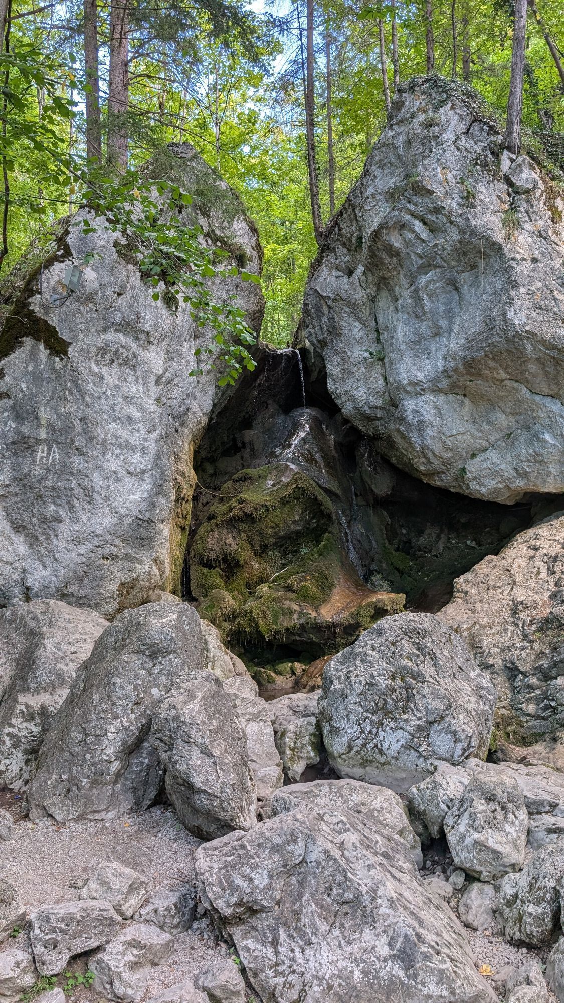
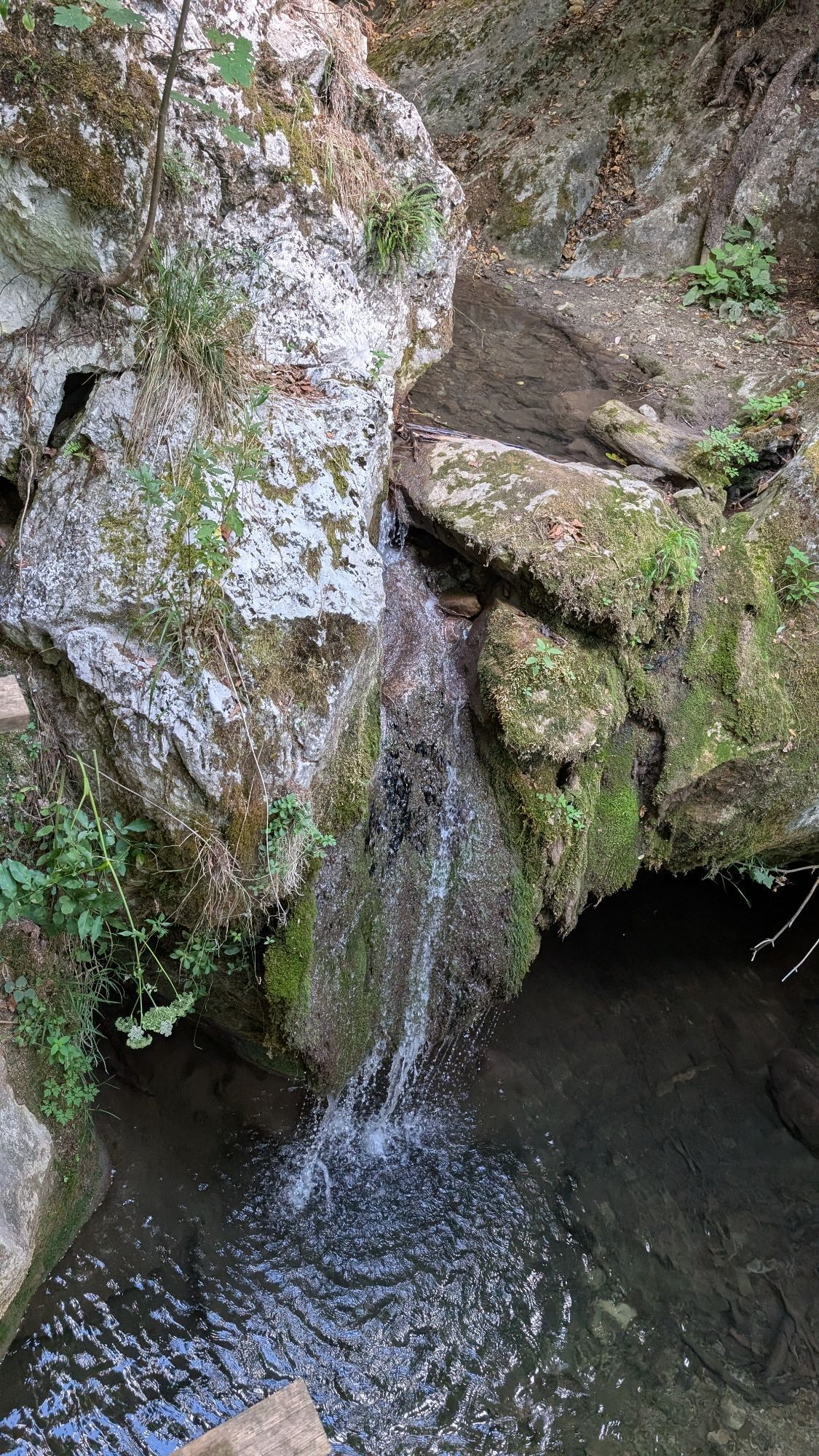
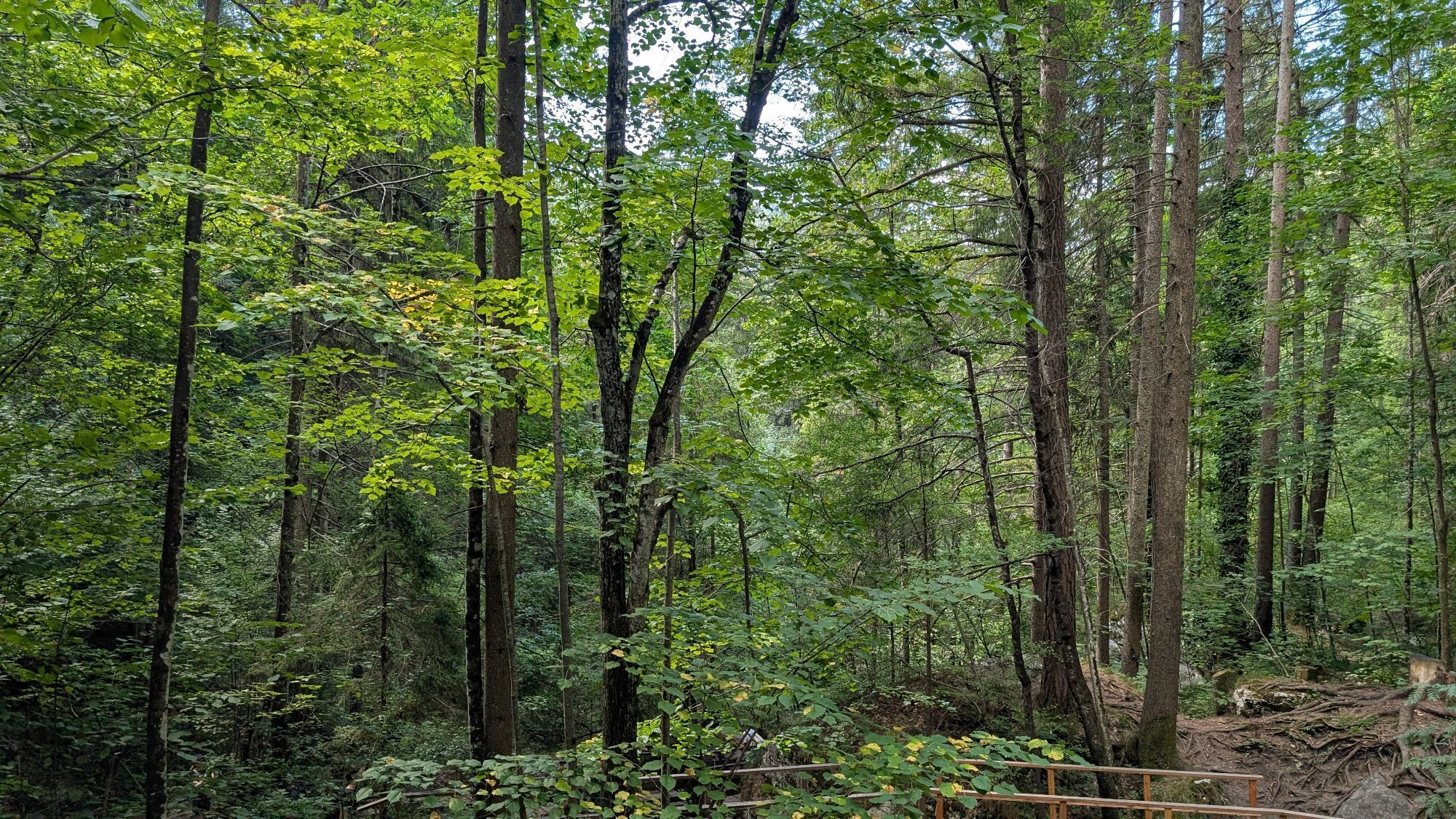
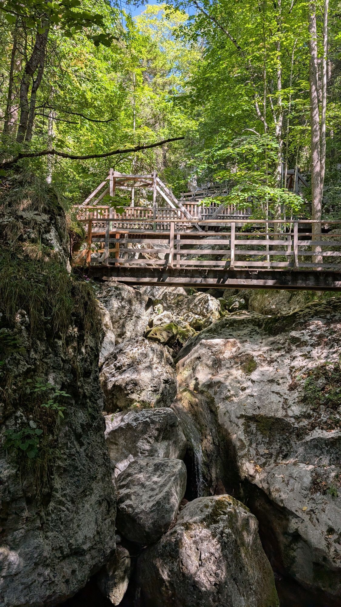
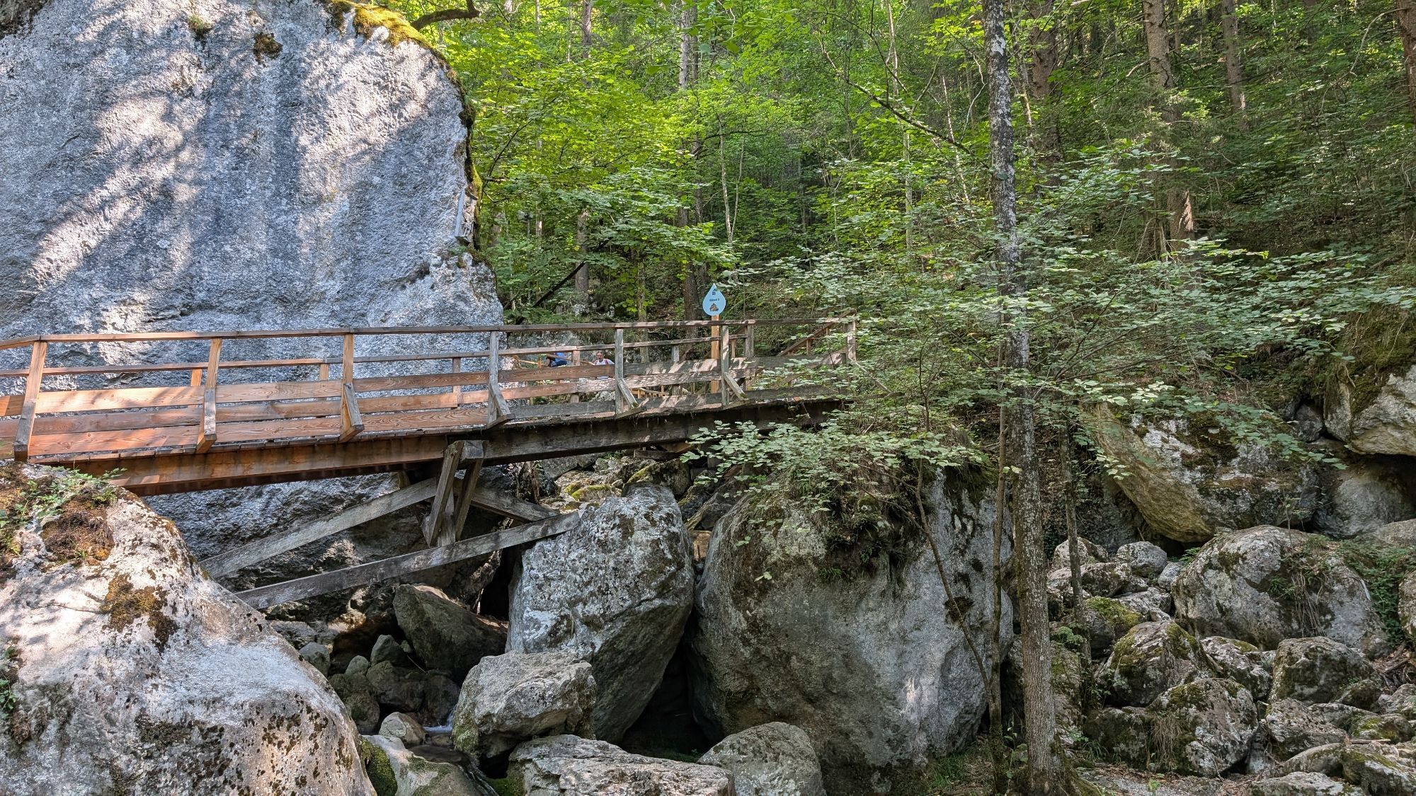
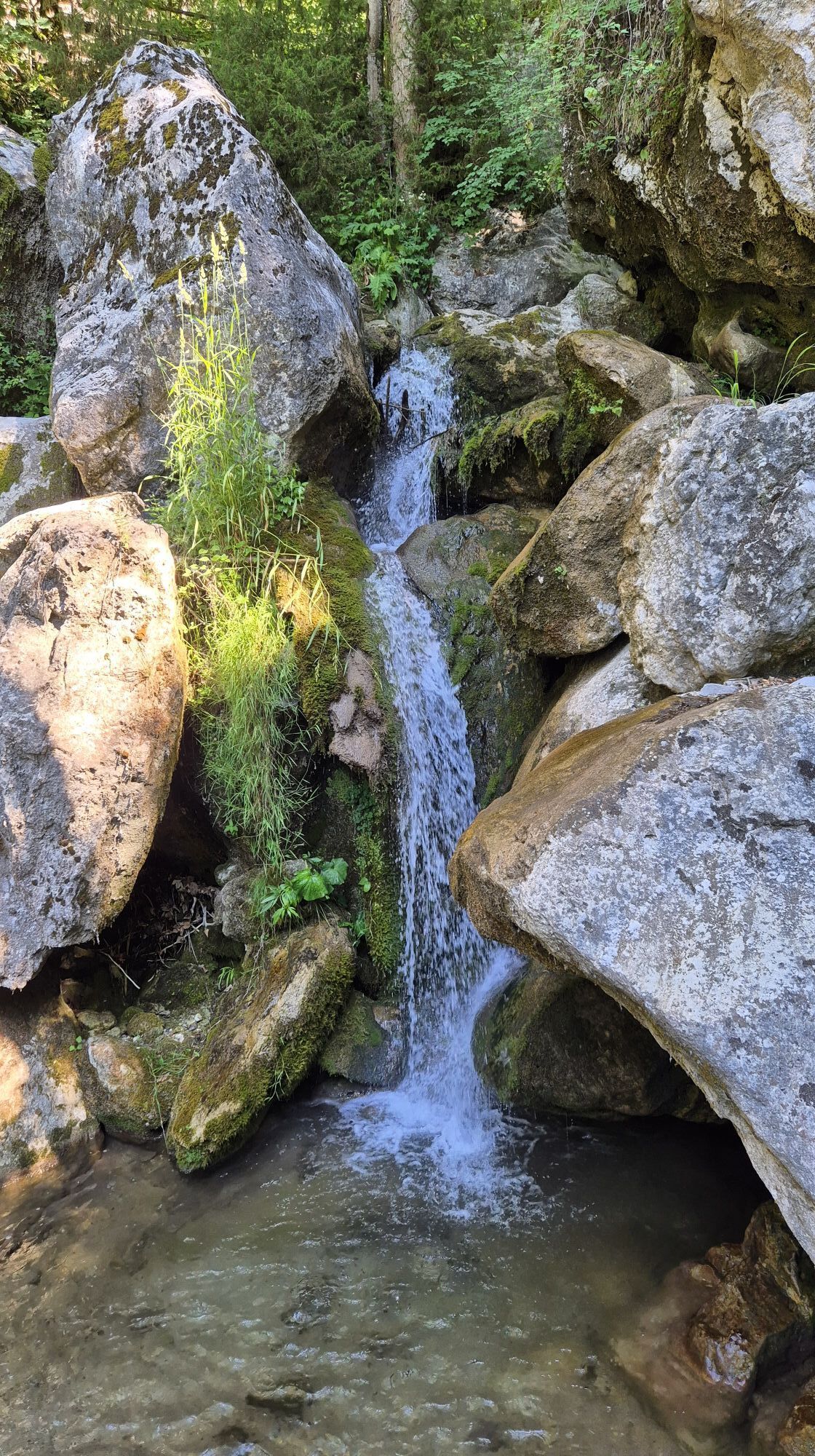
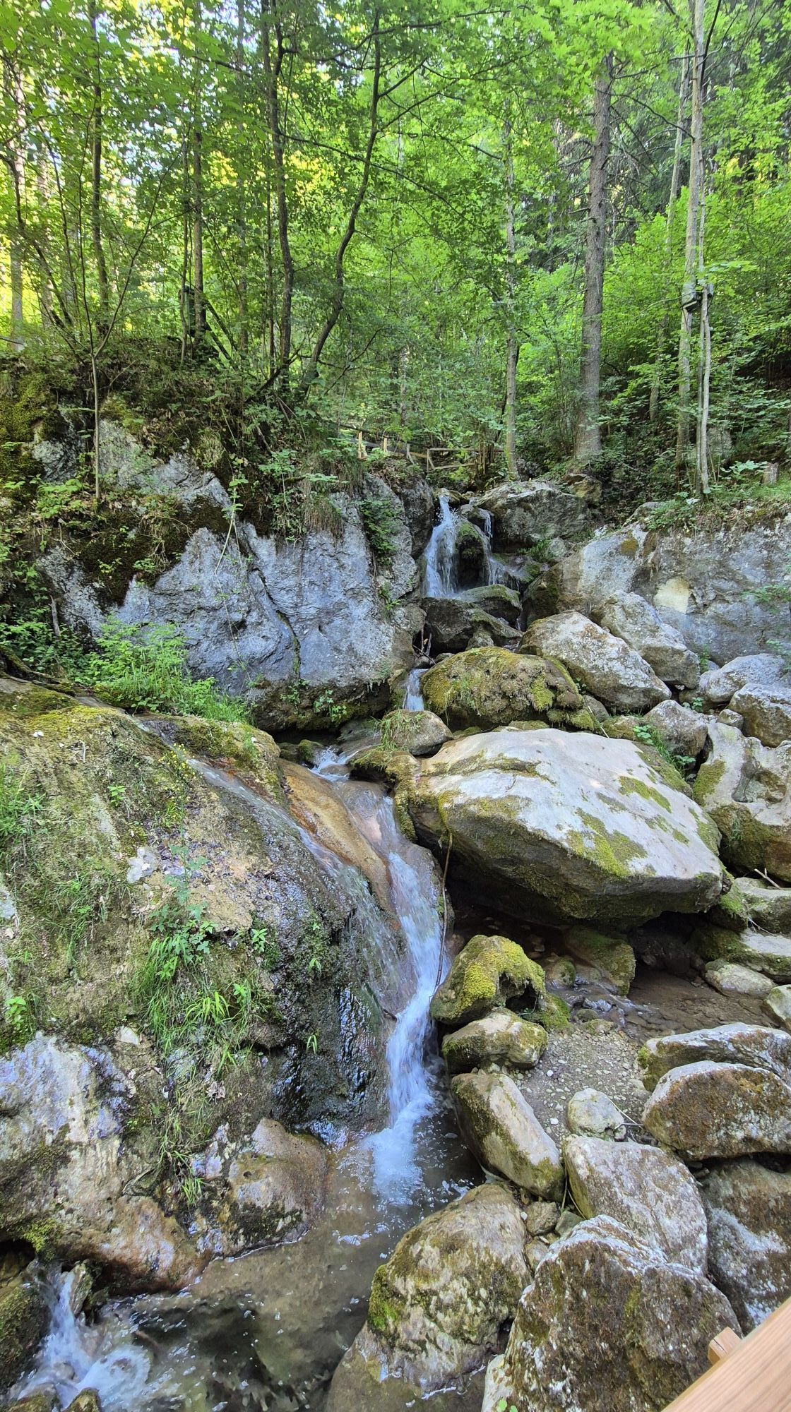
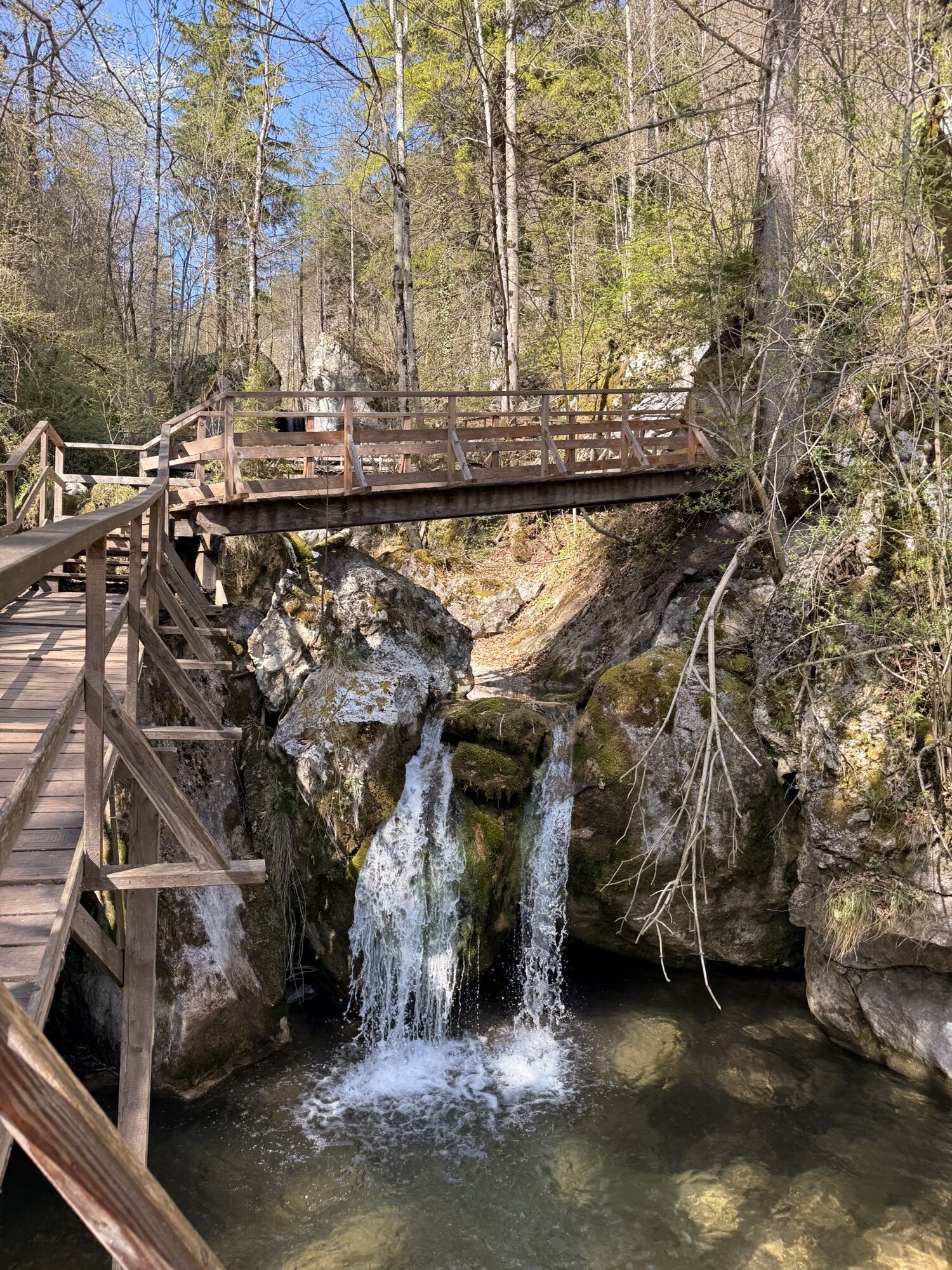
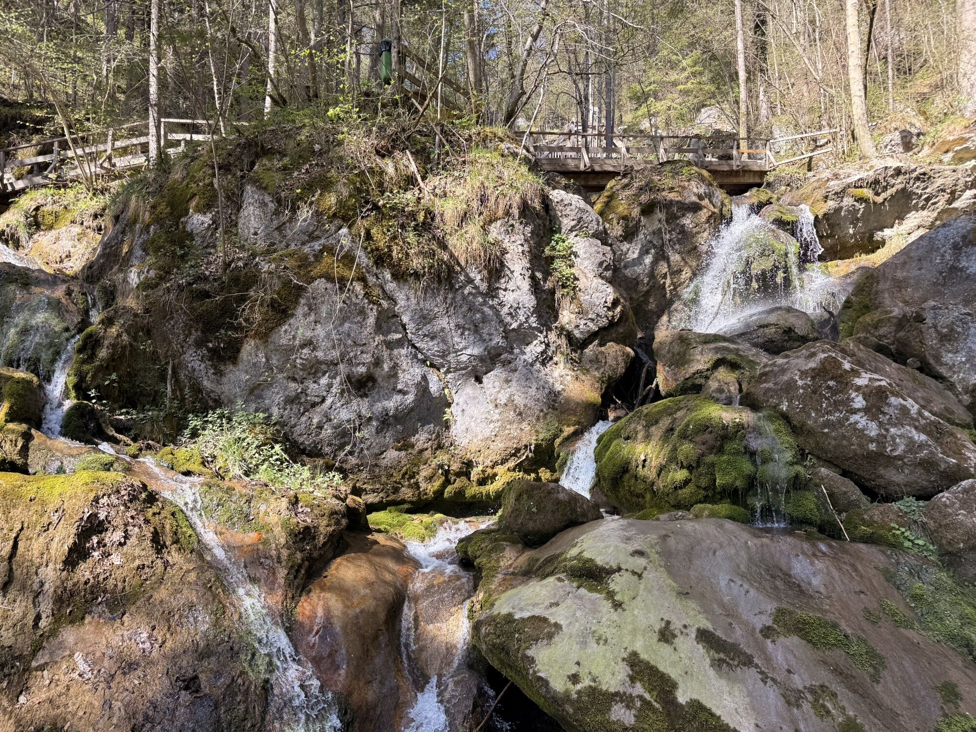
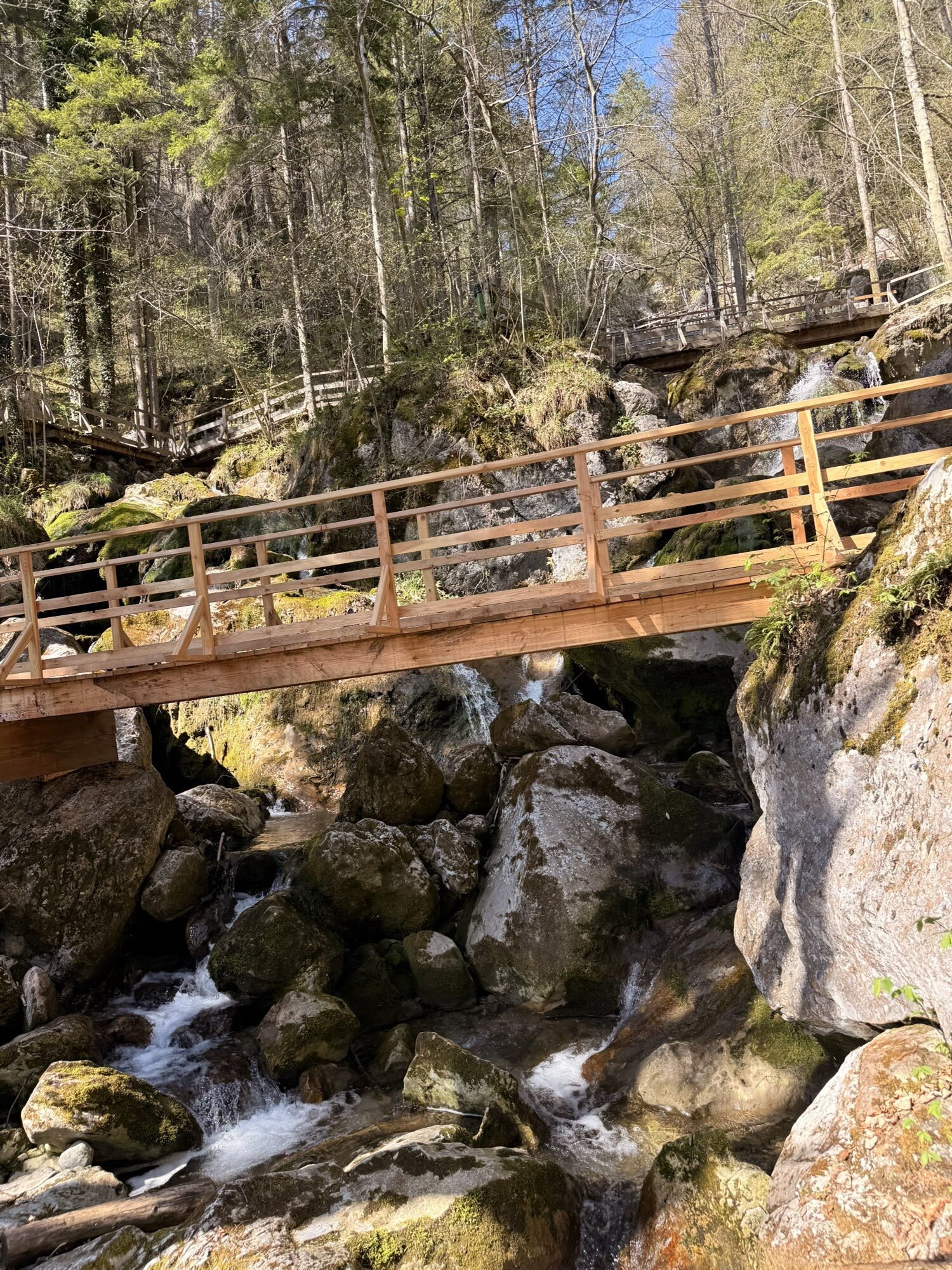
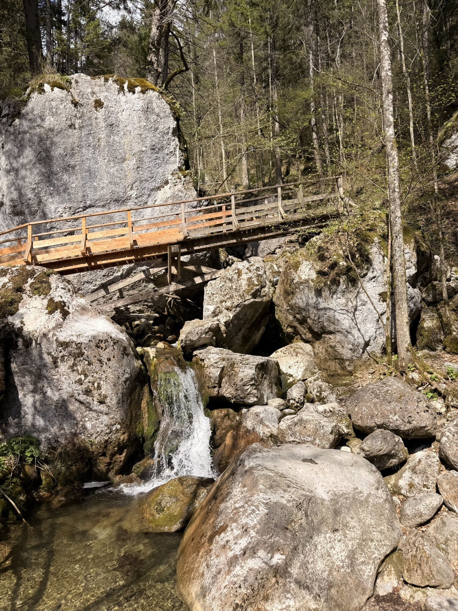


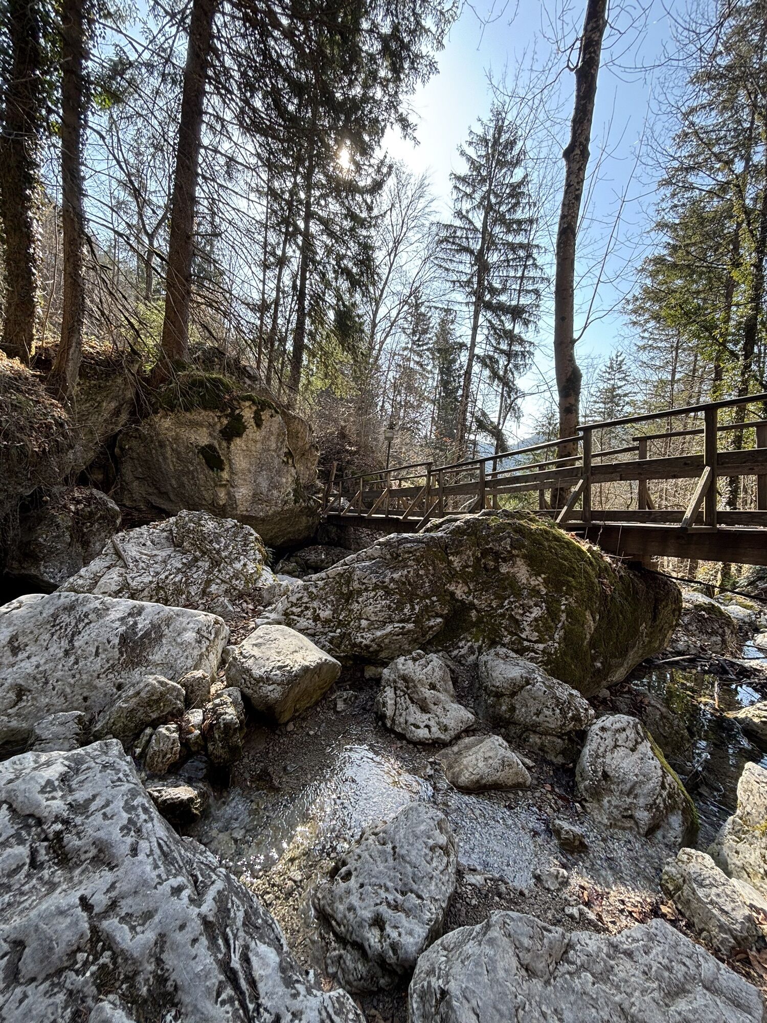

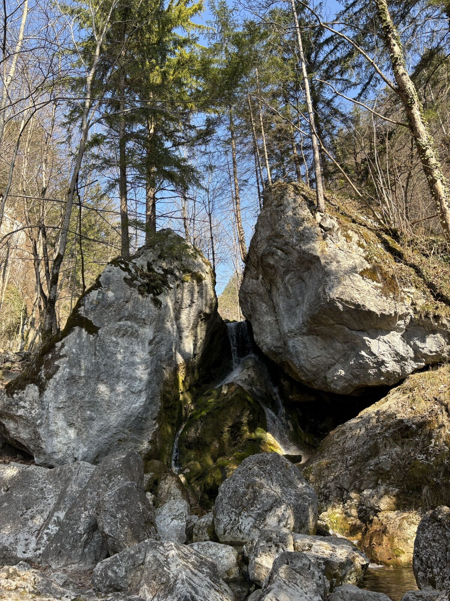
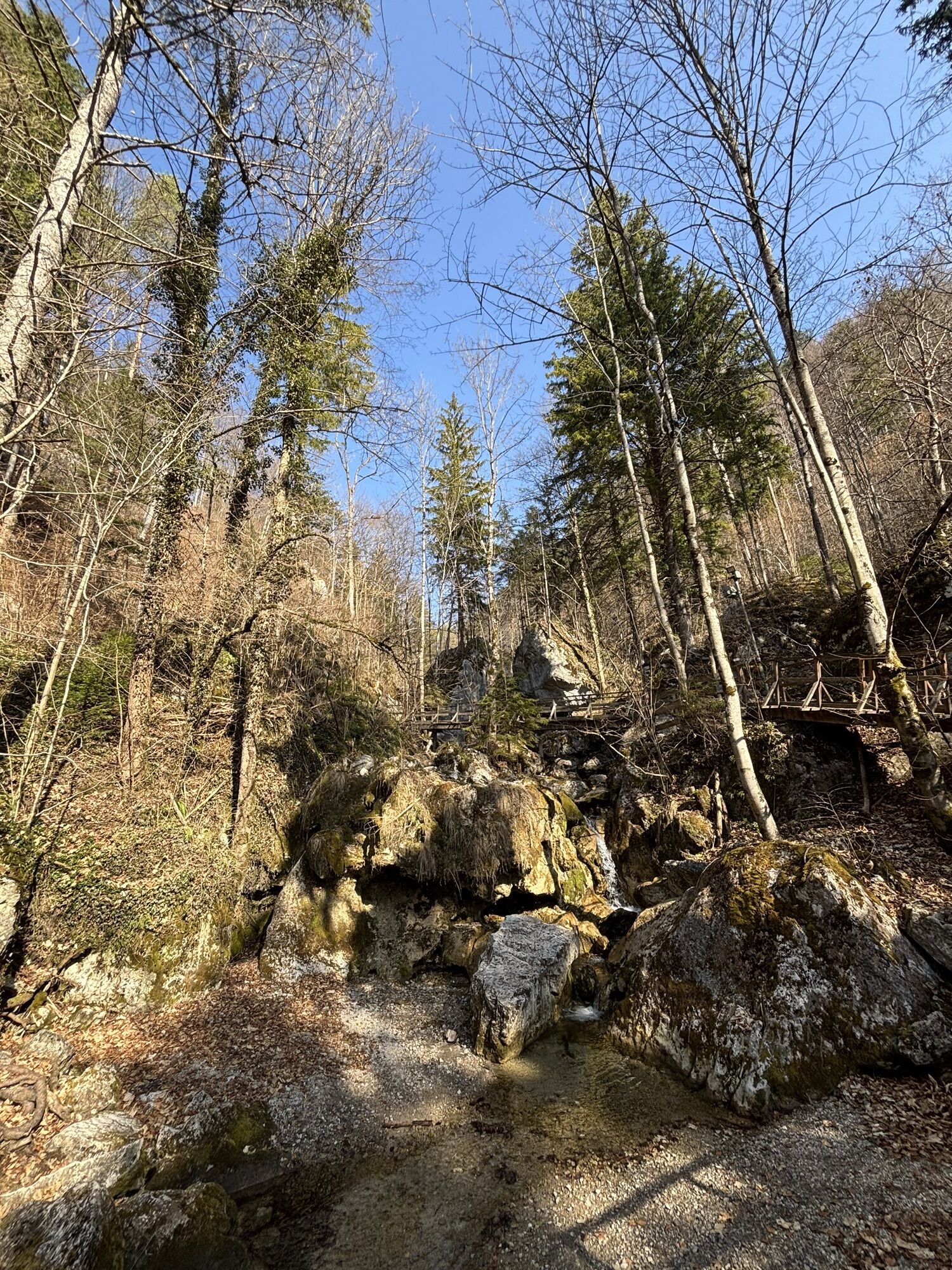
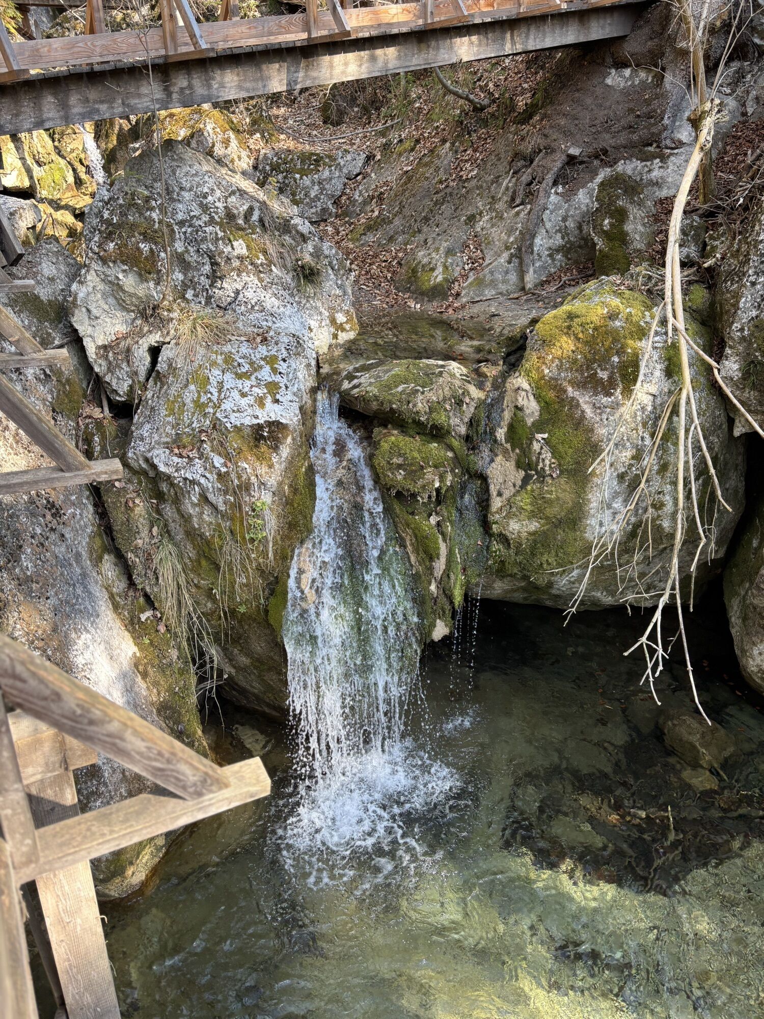

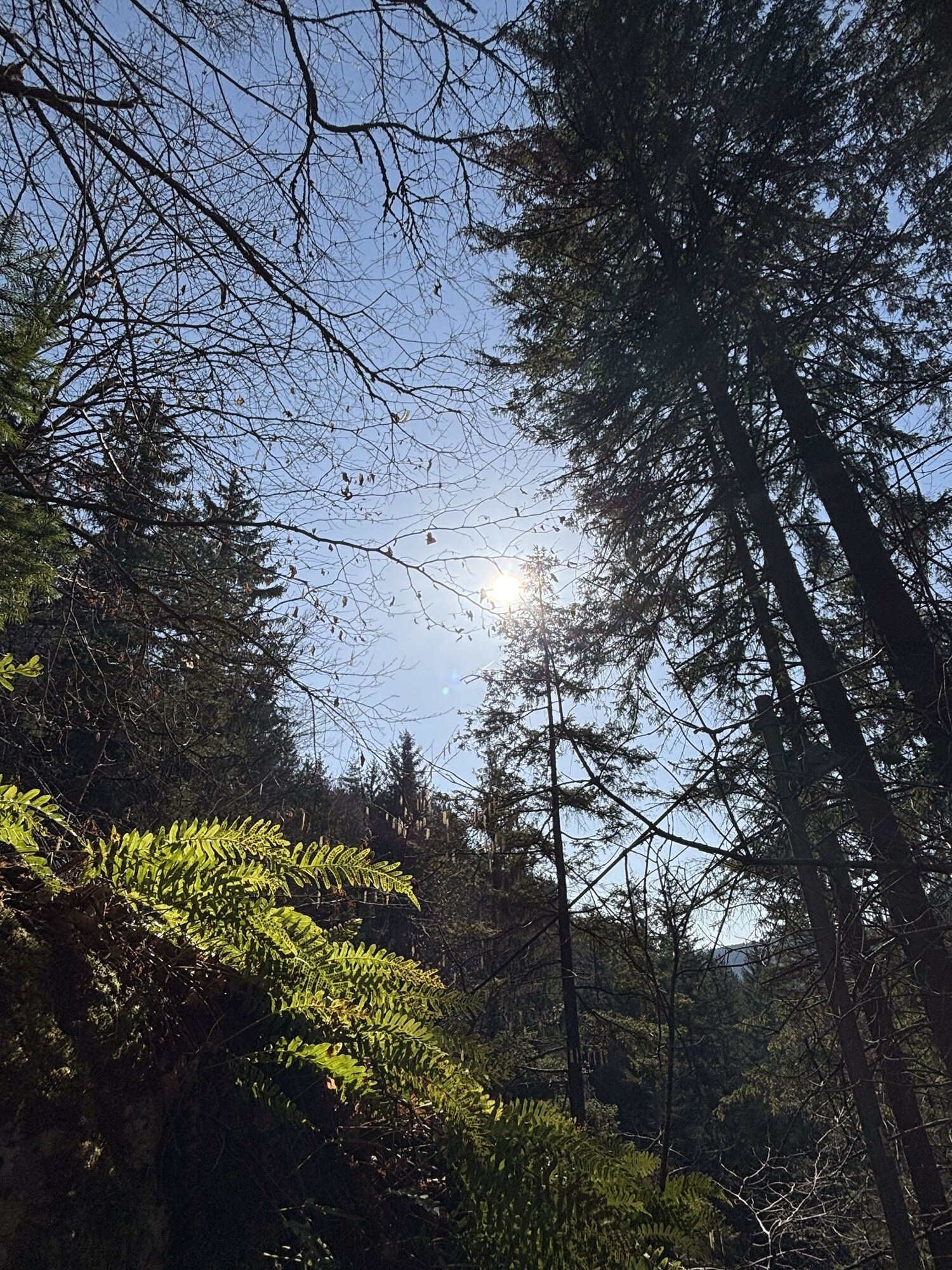

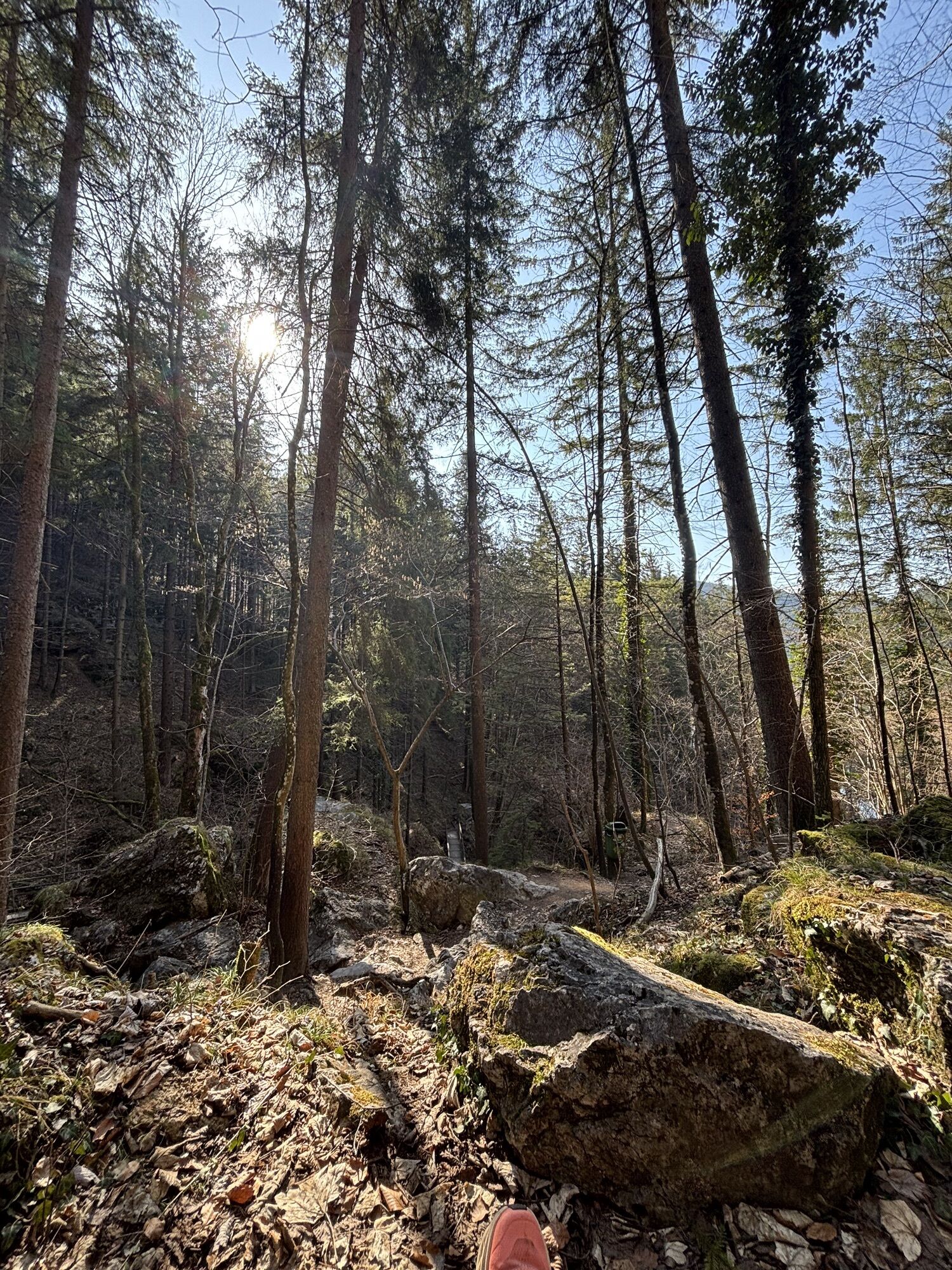
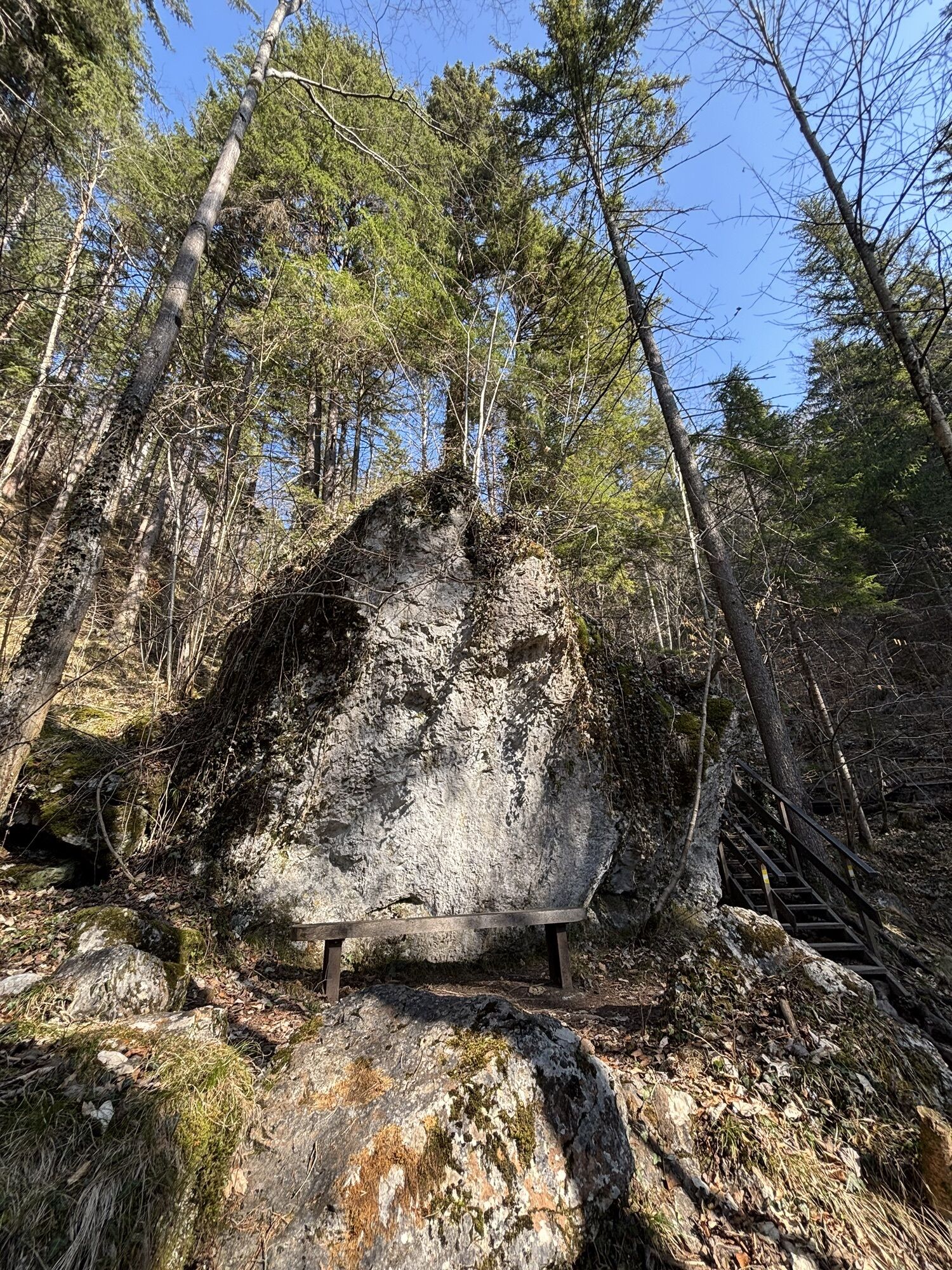
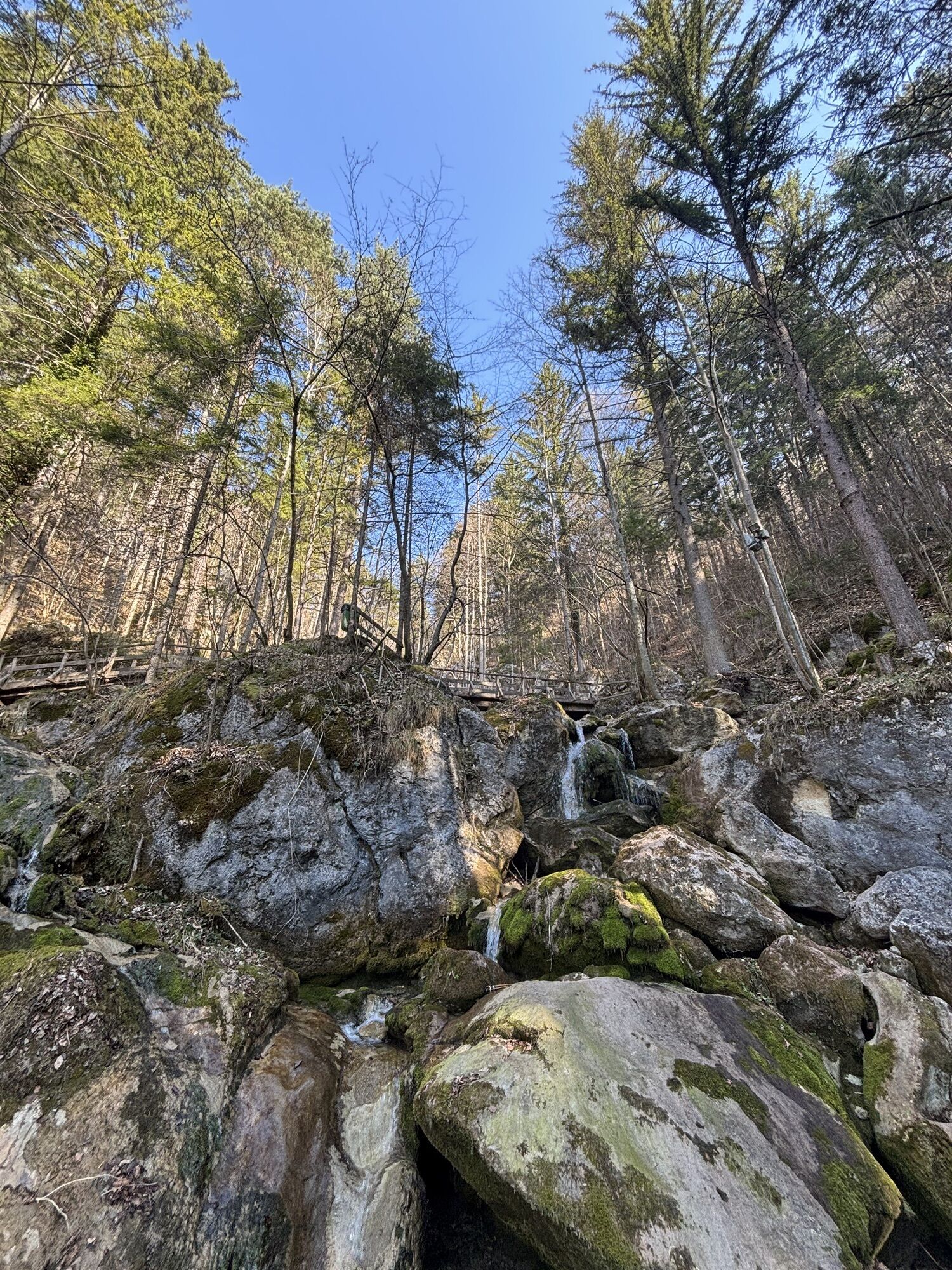
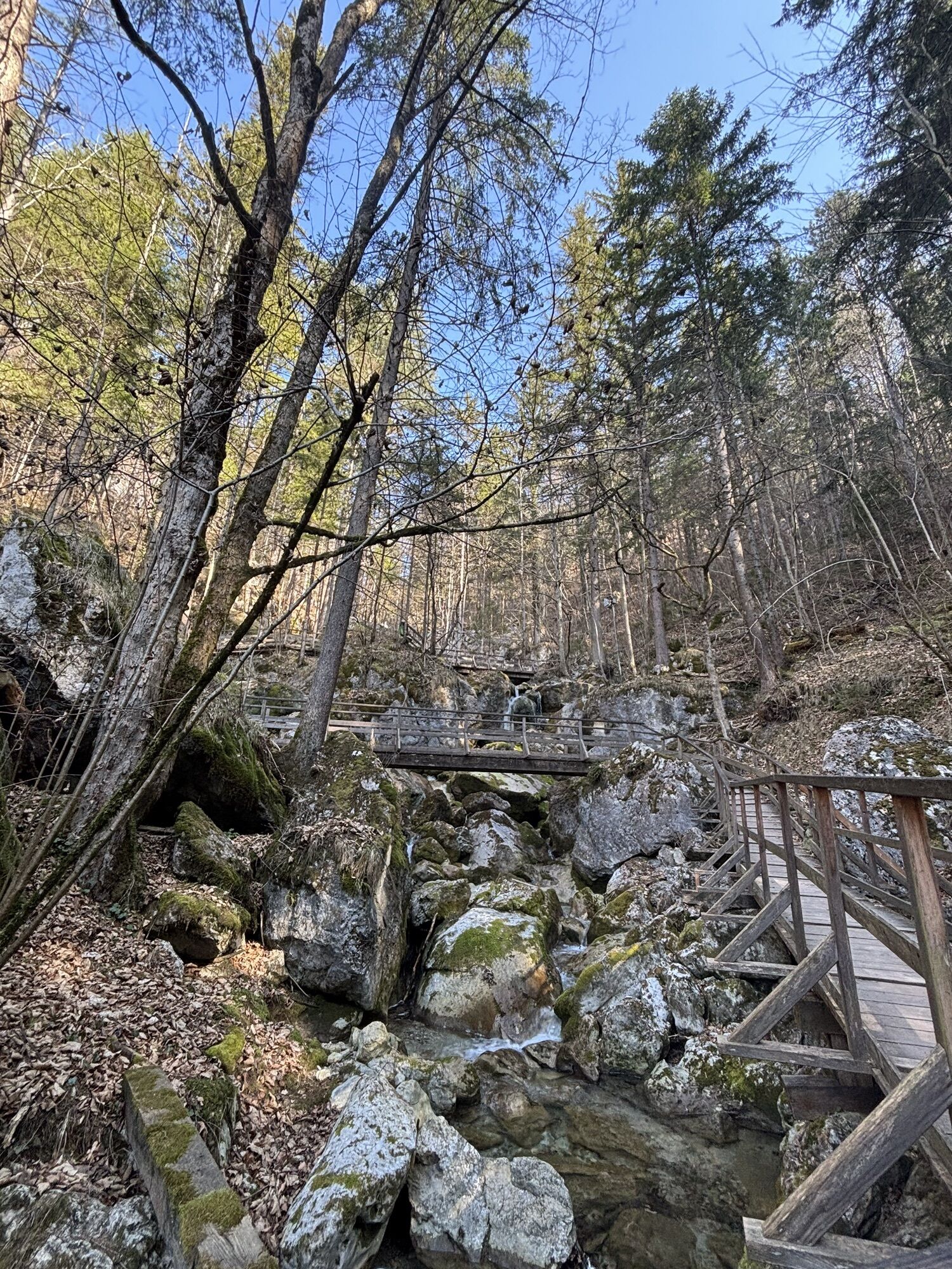
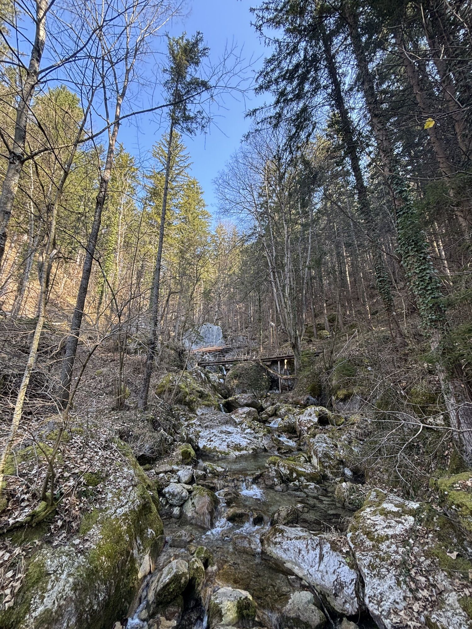
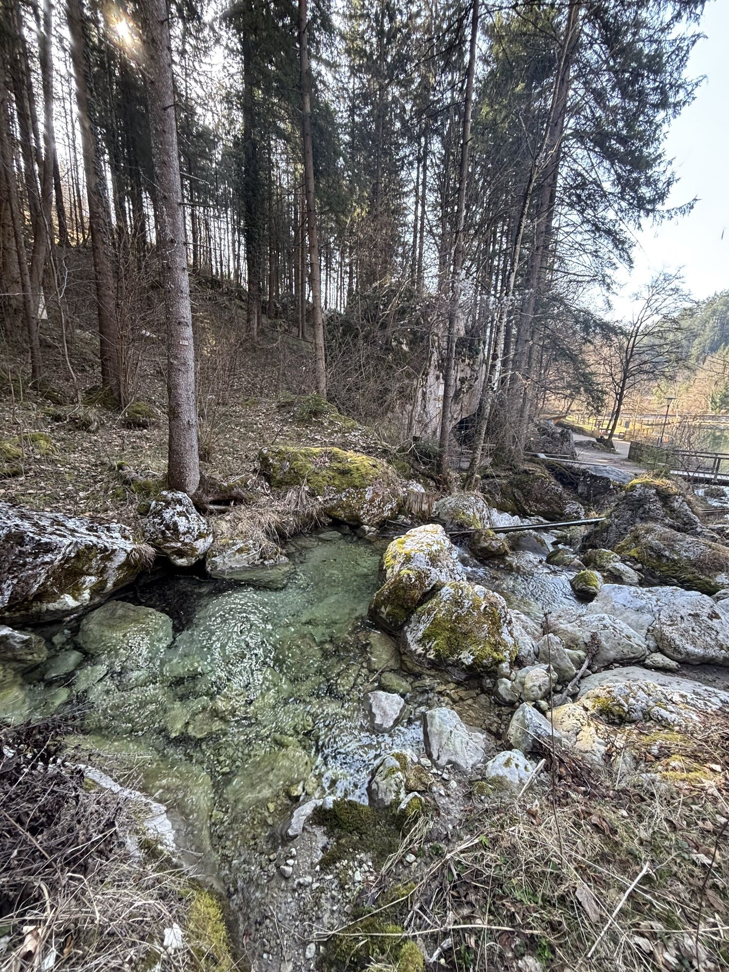
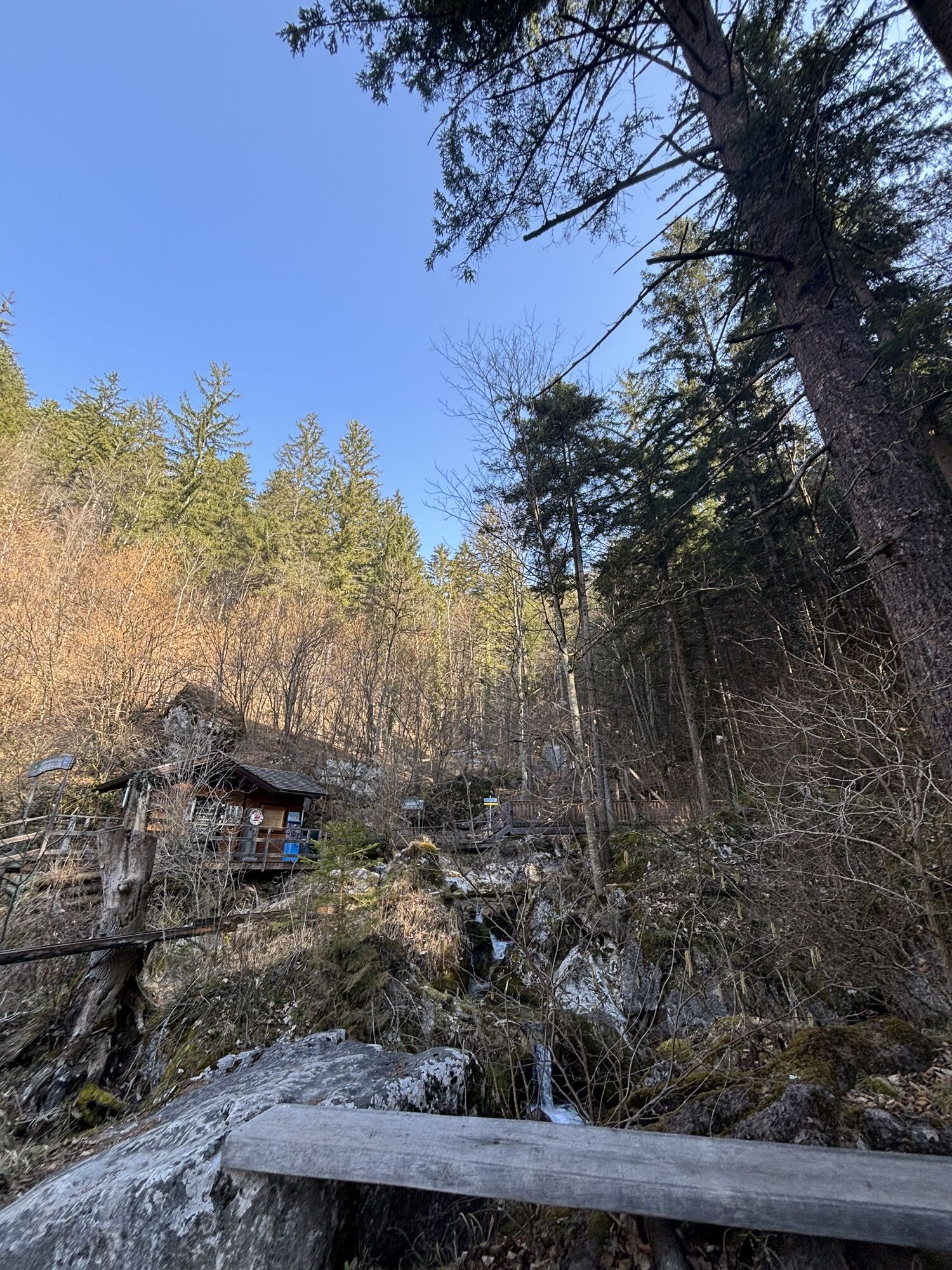


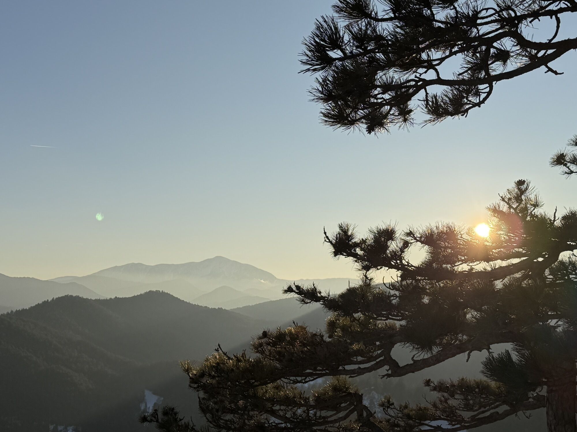
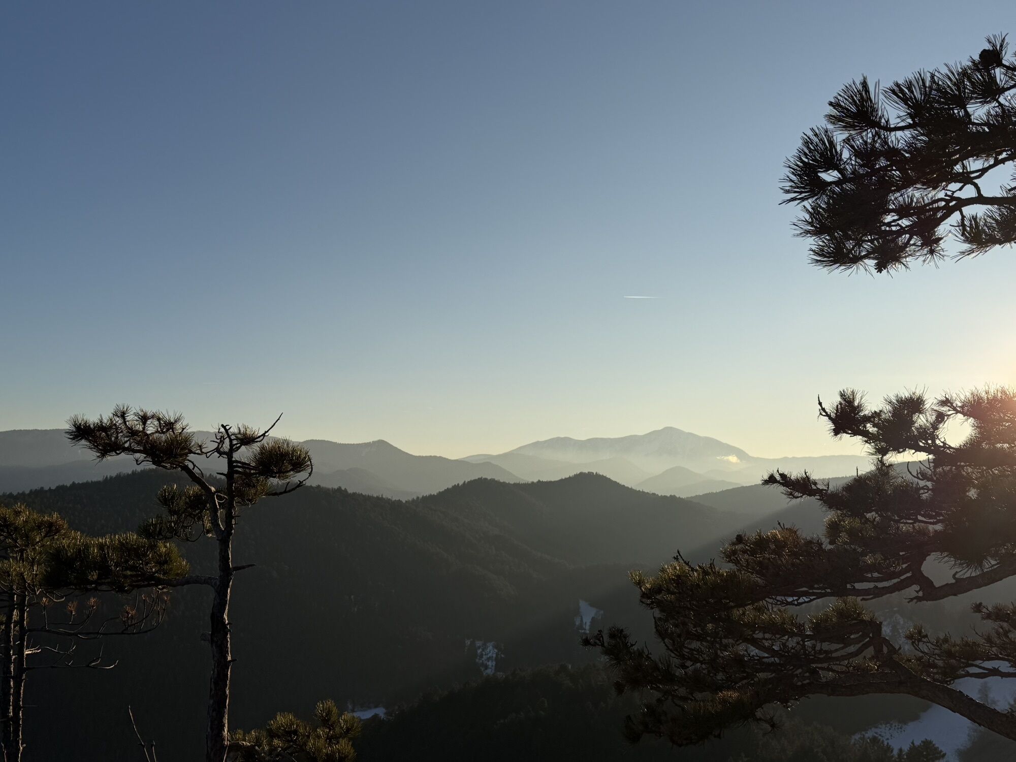

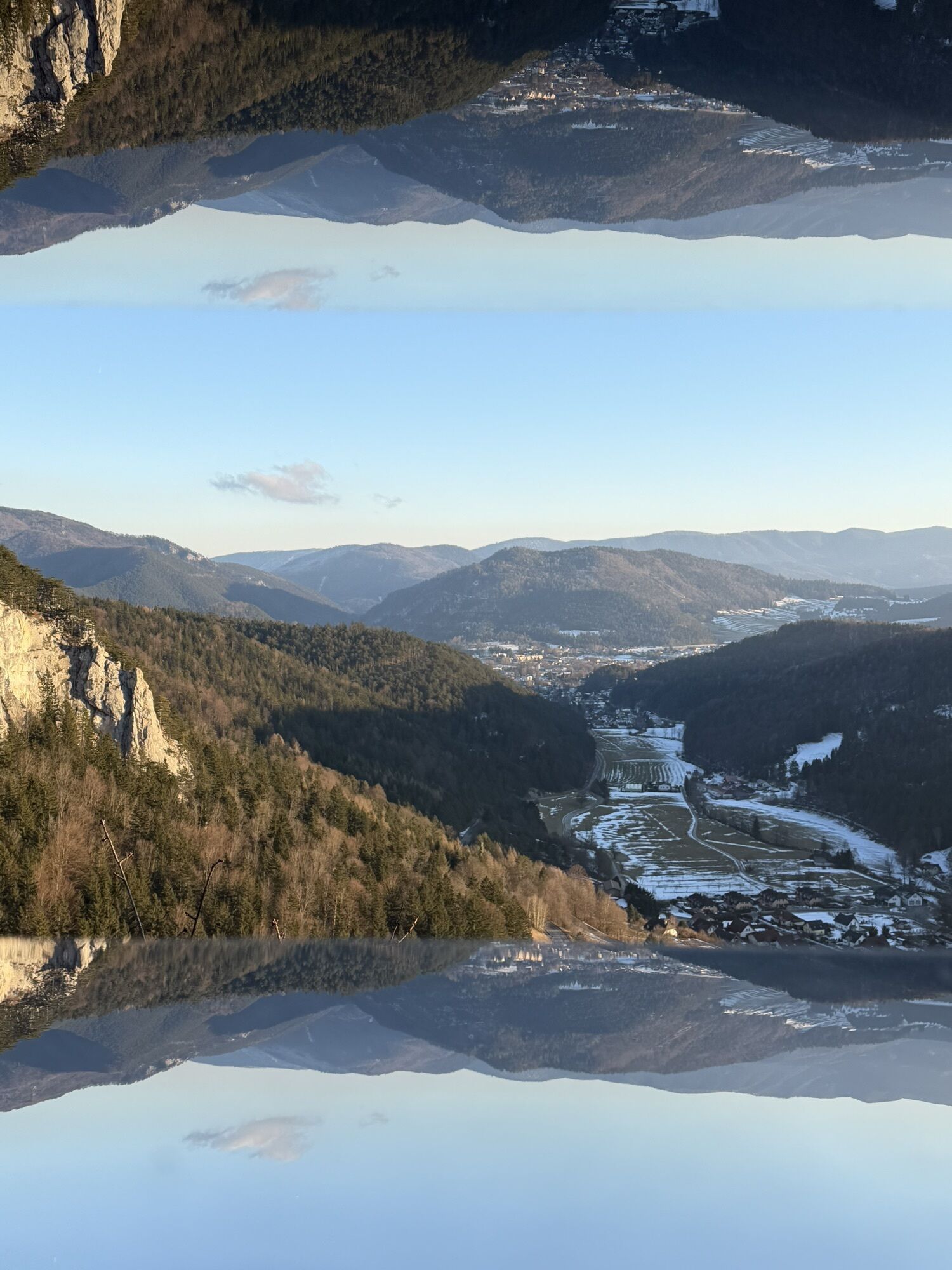
The Myrafalls were made accessible in 1885 by the Austrian Alpine Club and have since been maintained by the Pernitz Muggendorf section.
Since autumn 2007, a lot has changed along the Myrafalls and around...
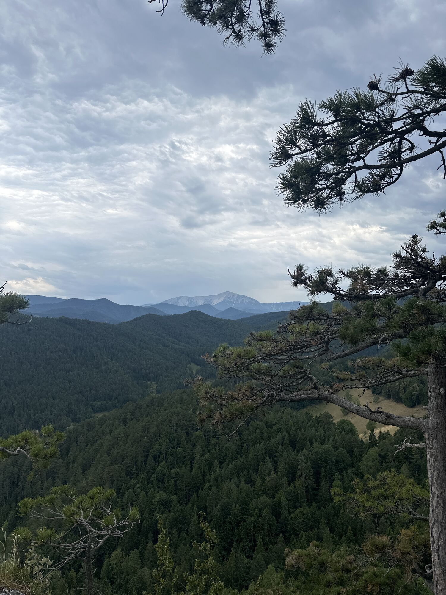
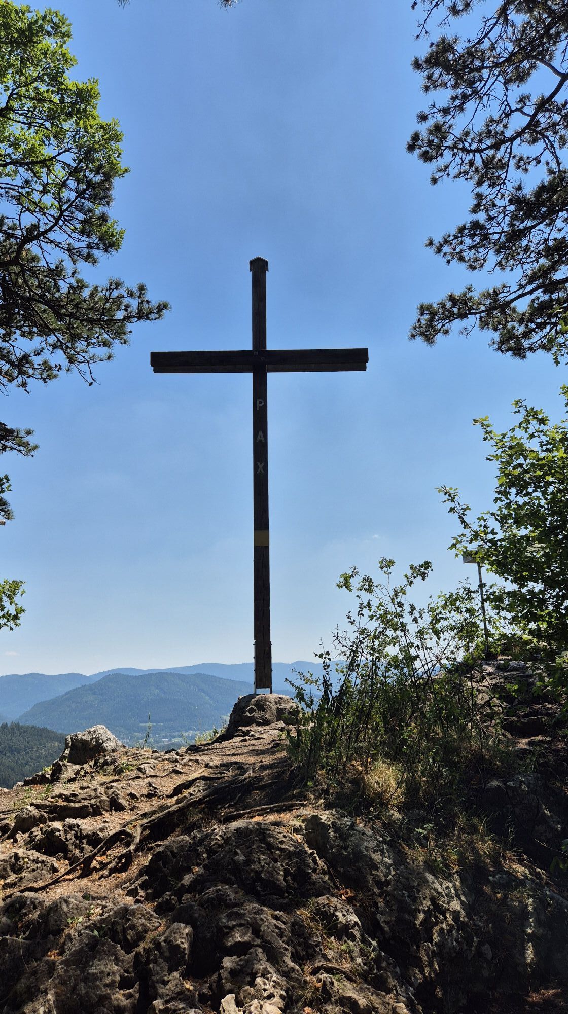
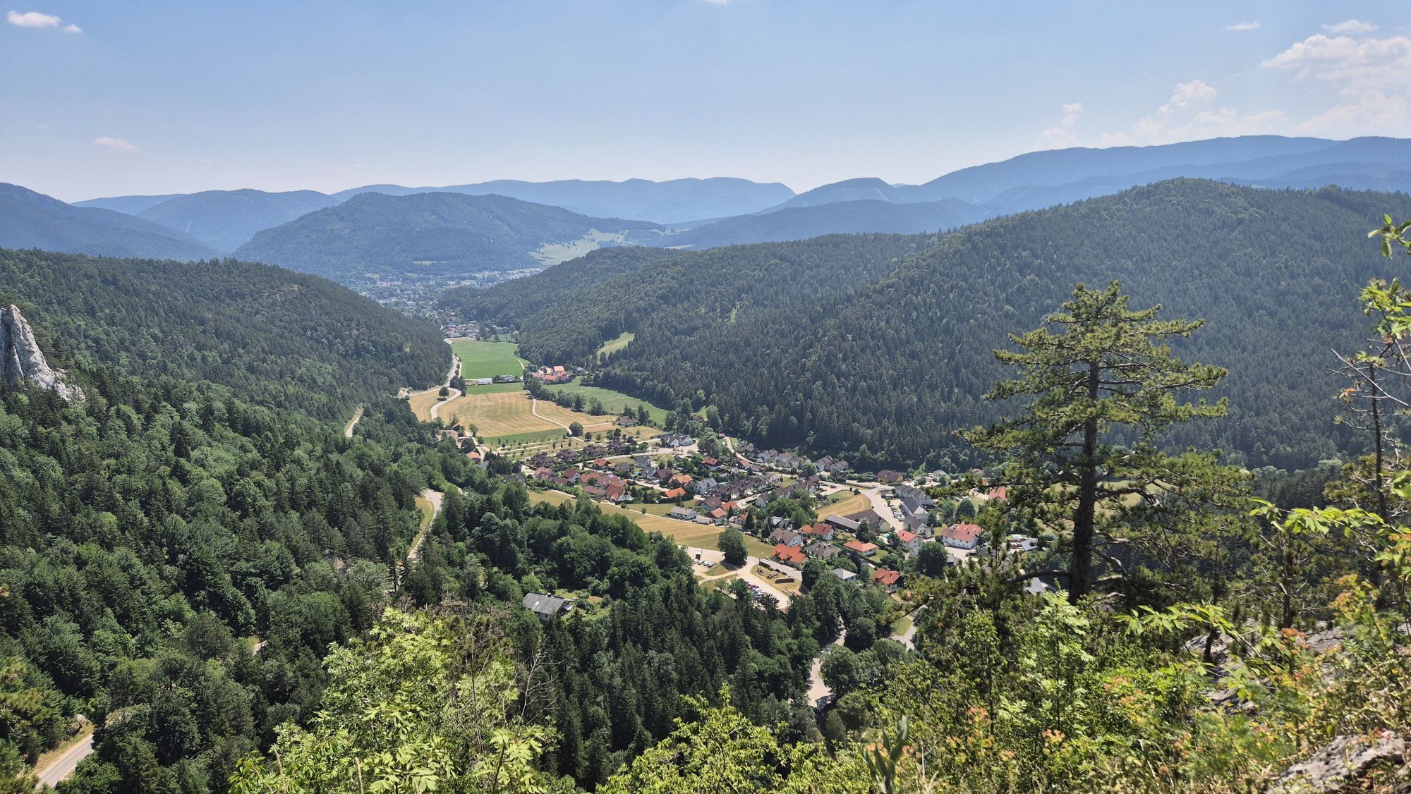
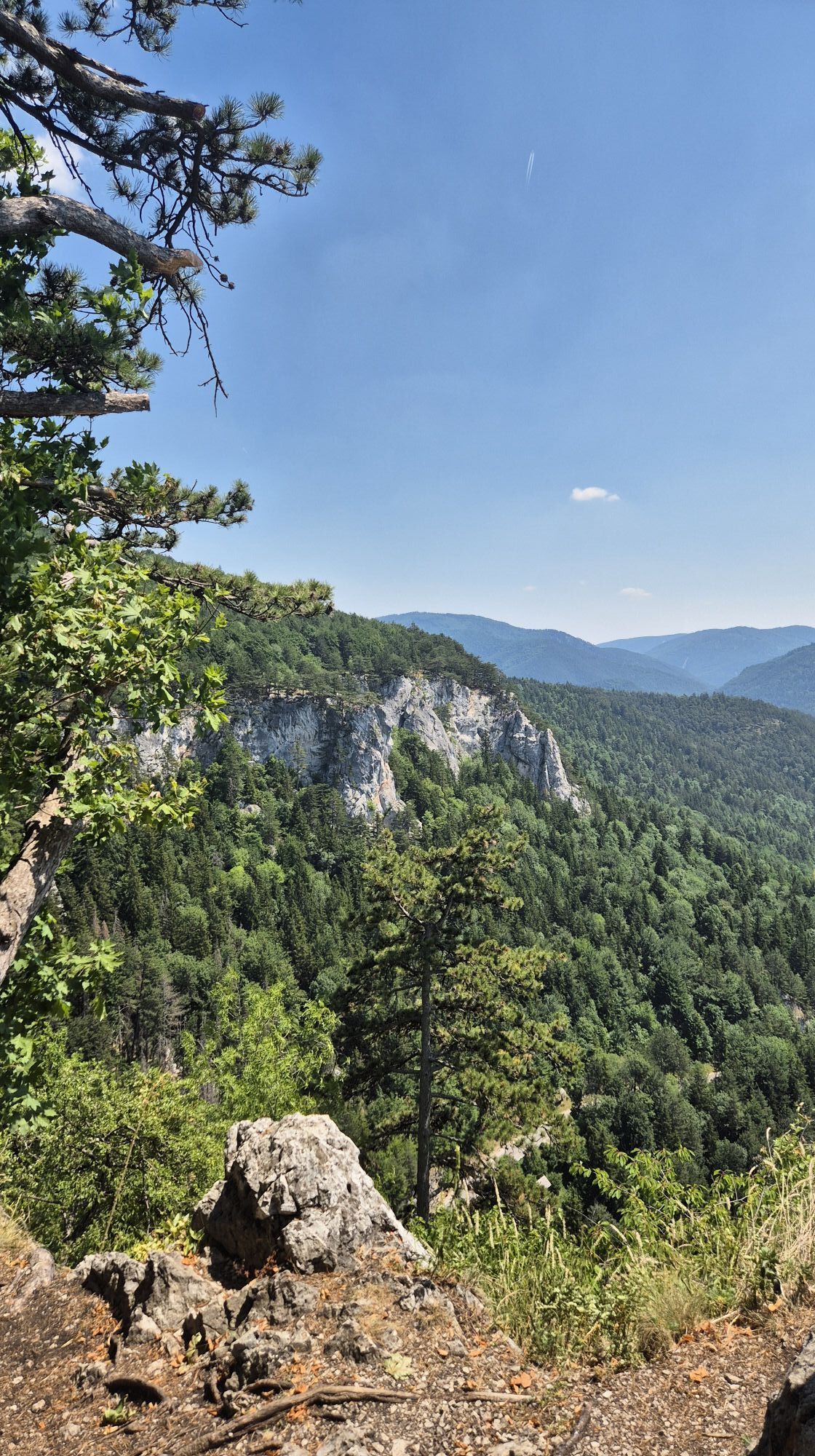
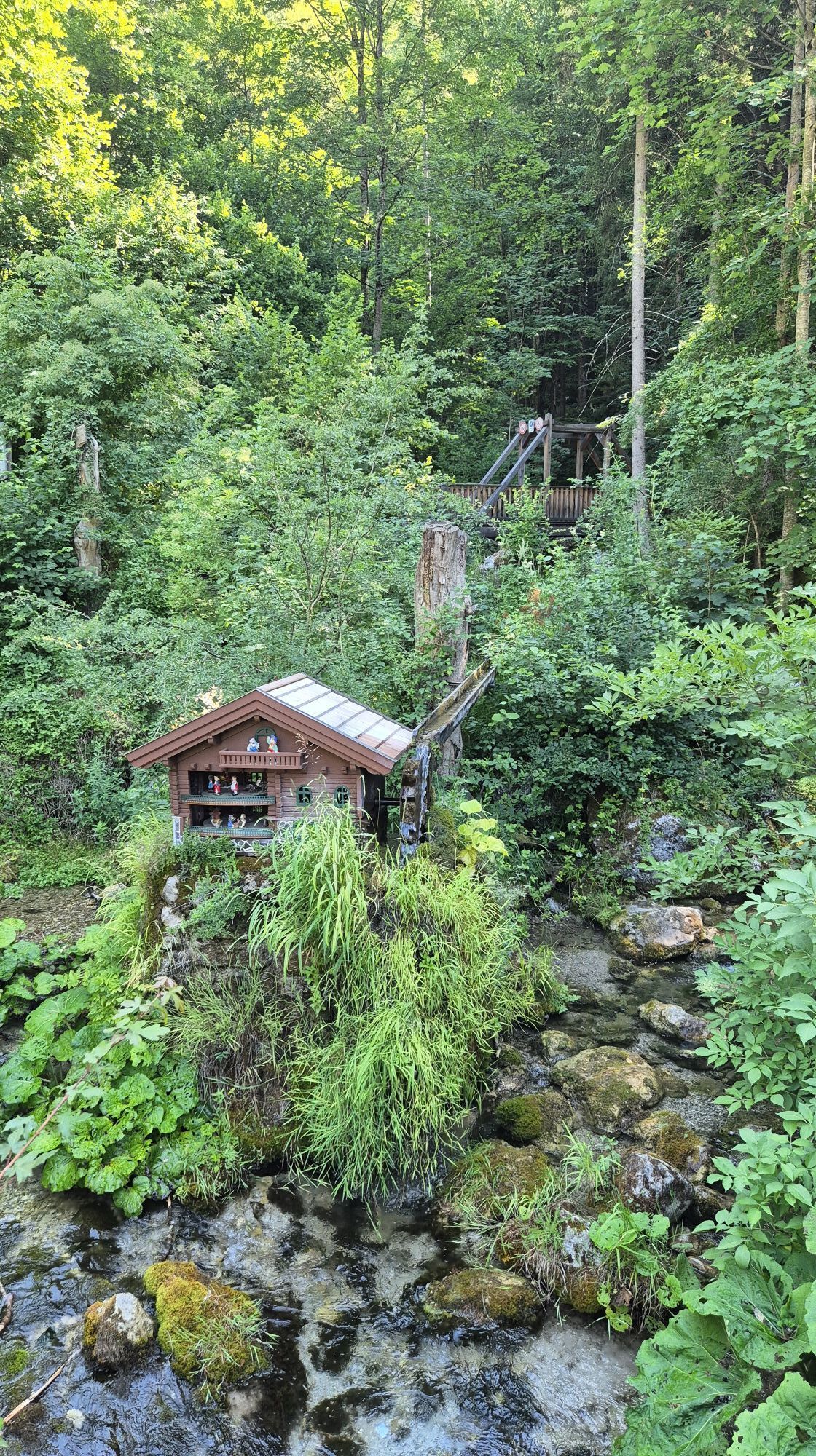
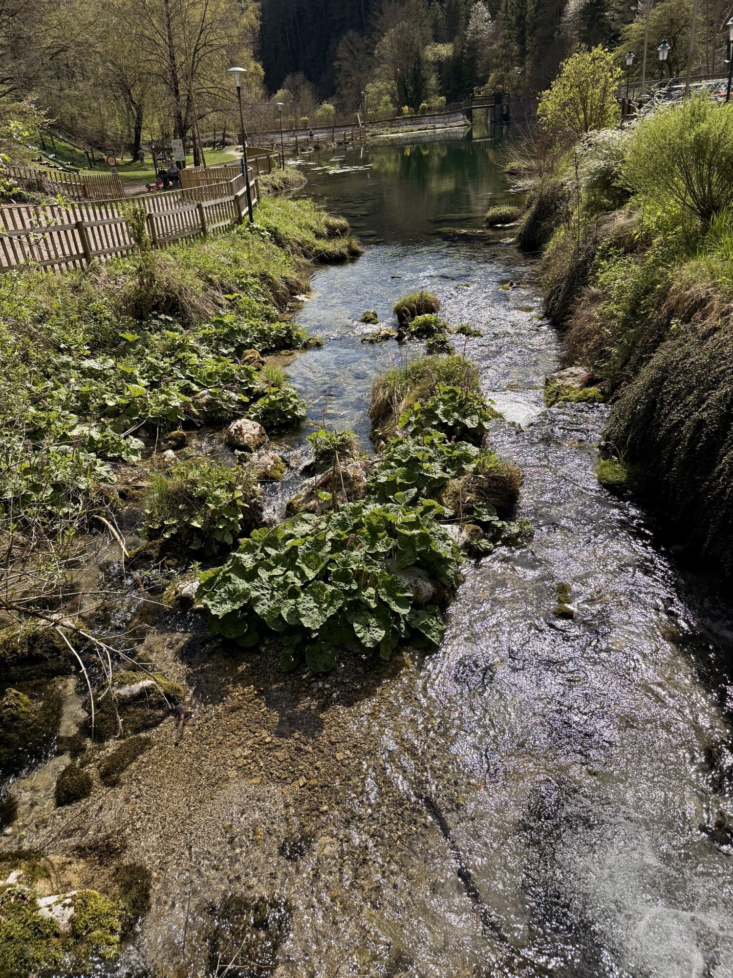
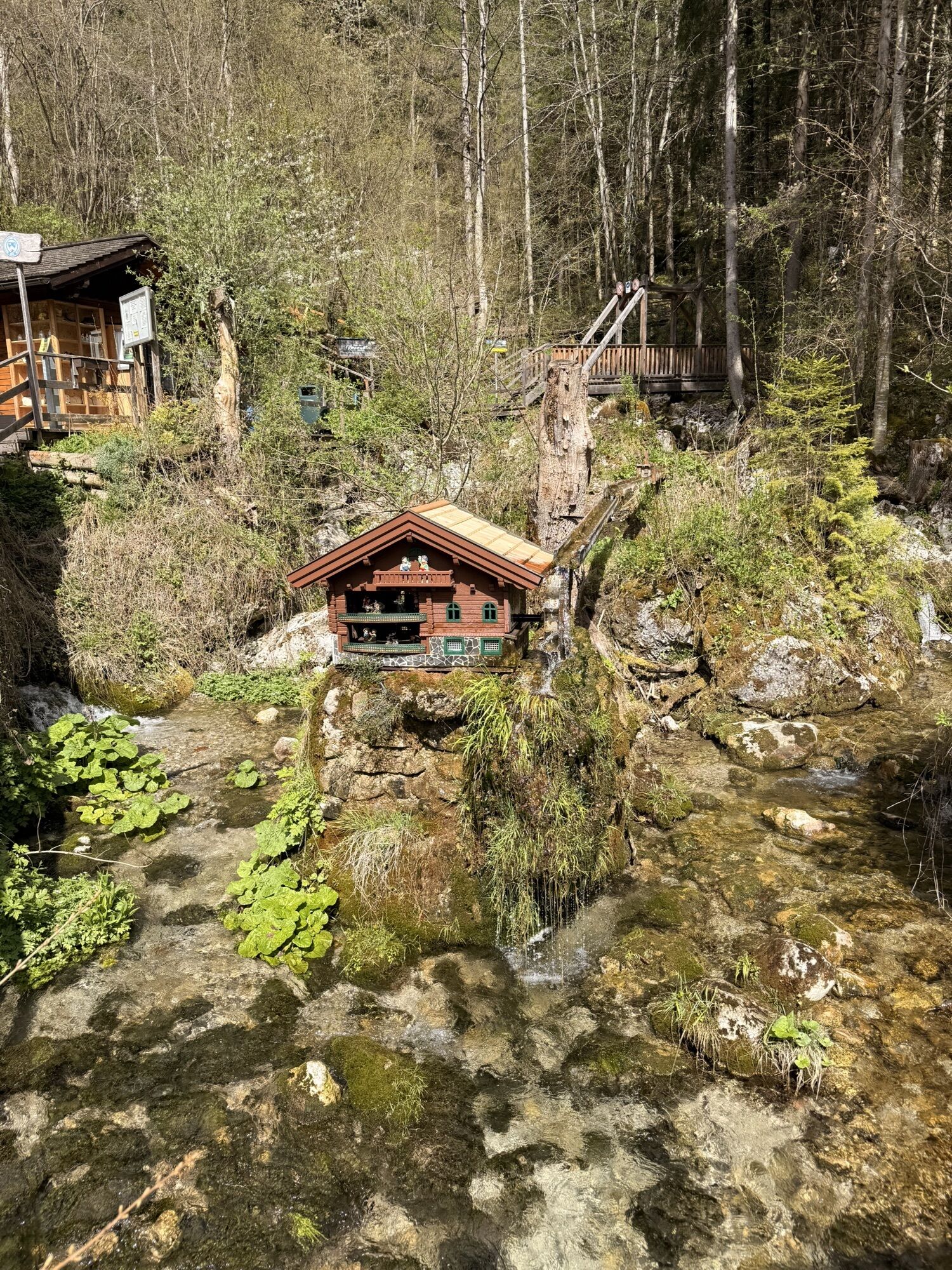
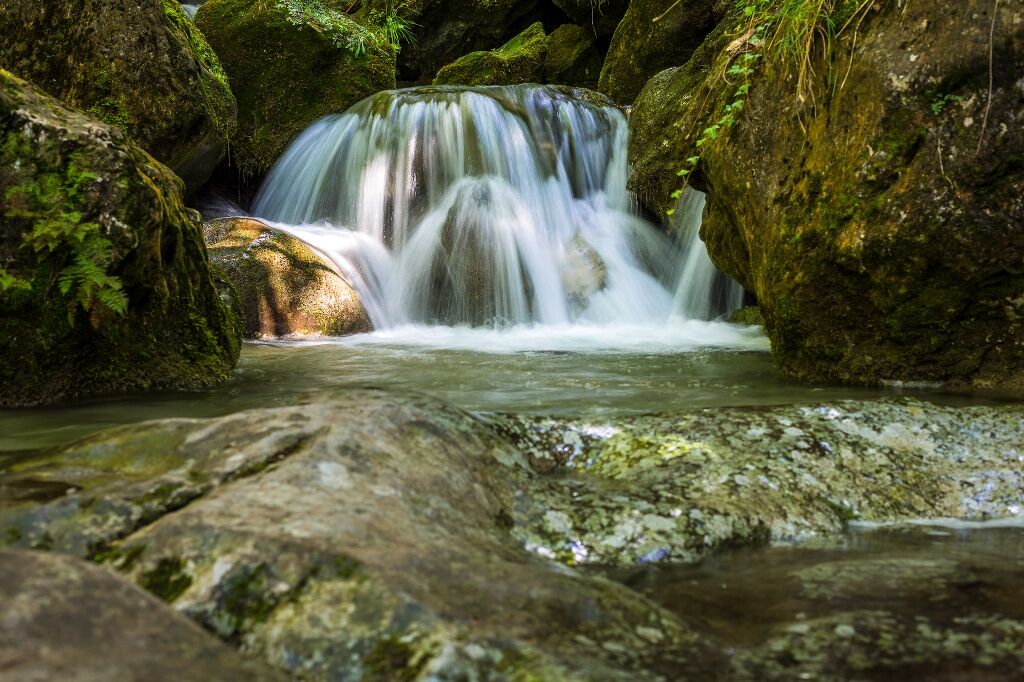
<p>The Myrafalls were made accessible in 1885 by the Austrian Alpine Club and have since been maintained by the Pernitz Muggendorf section.</p><p>Since autumn 2007, a lot has changed along the Myrafalls and around the Hausstein.<br /> 11 information panels accompany you along this impressive landscape. Learn how the power of water has been used since 1783 as a driving force for wood processing or electricity generation. The residents of the valley landscape also used the water wheels for grinding barley, wheat, and oats.<br /> Take a walk in nature, enjoy the wonderful view from the Hausstein, and then relax at one of our friendly hosts, for example in the Myrastub'n, at the Karnerwirt, or in the mountain inn Mamauwiese.<br /> Our little guests will enjoy a climbing paradise and a lovingly designed water playground;<br /> Raft adventure ride included at the Myrateich.</p><p>(Admission: adults €5,--, children 6-14 years €1.50).</p>

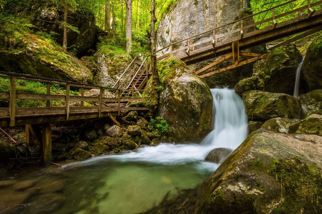
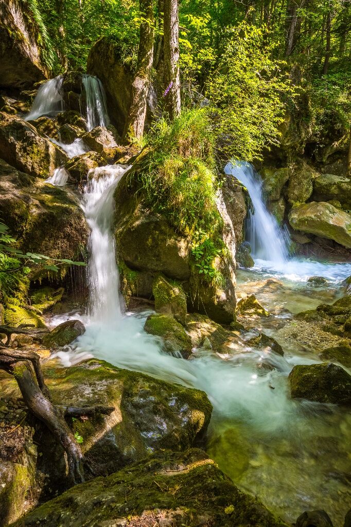
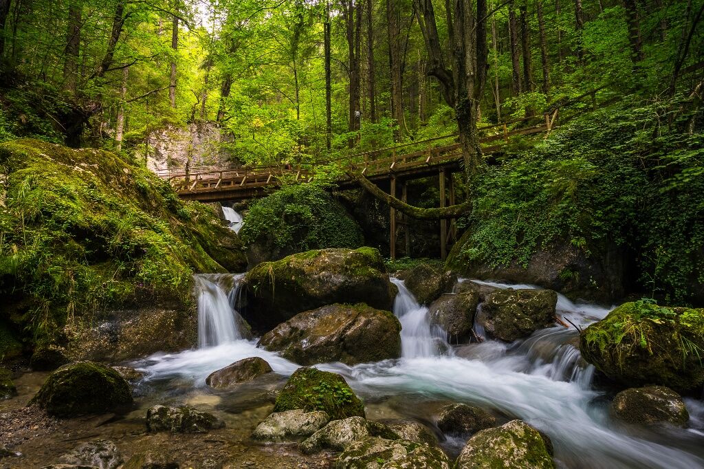
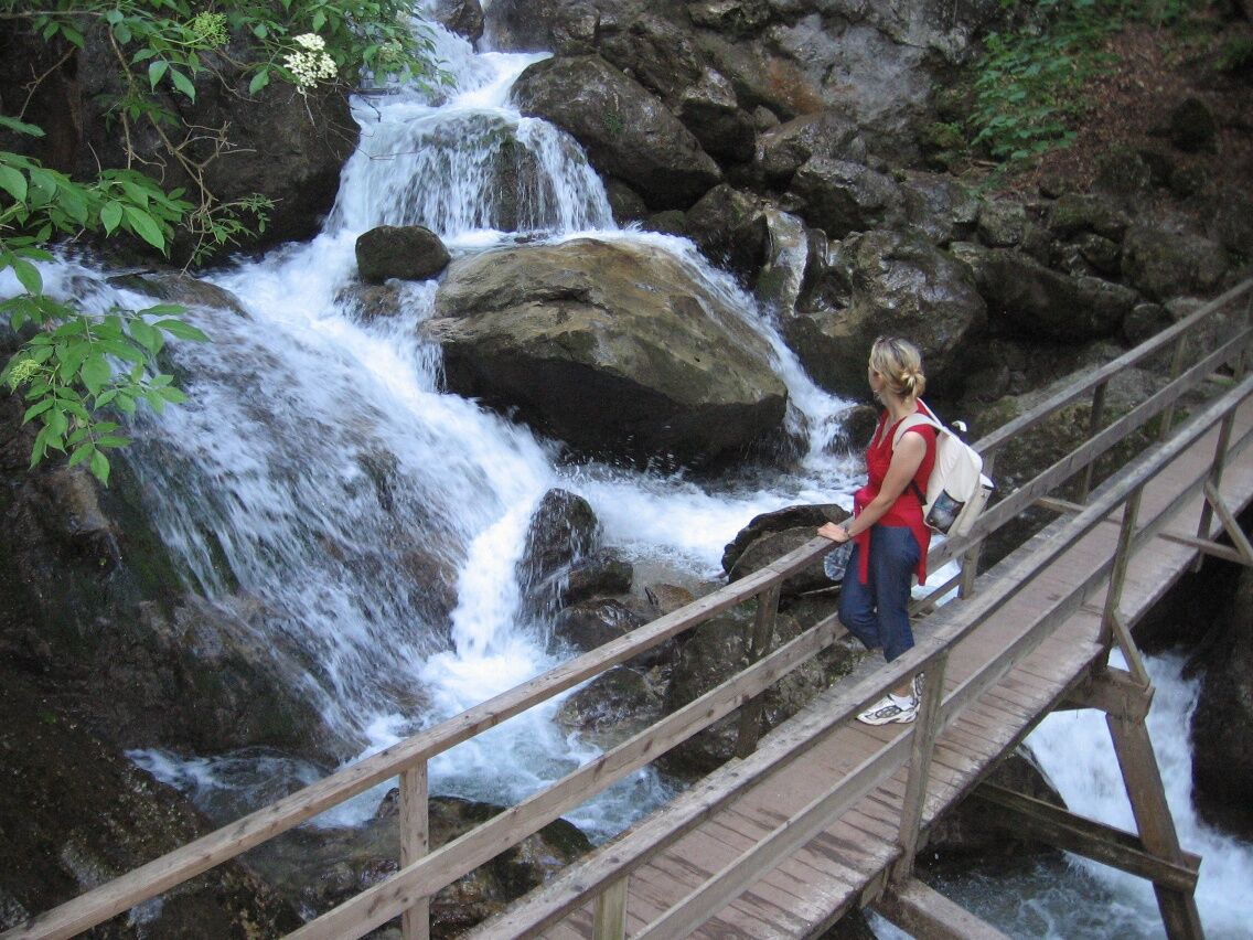

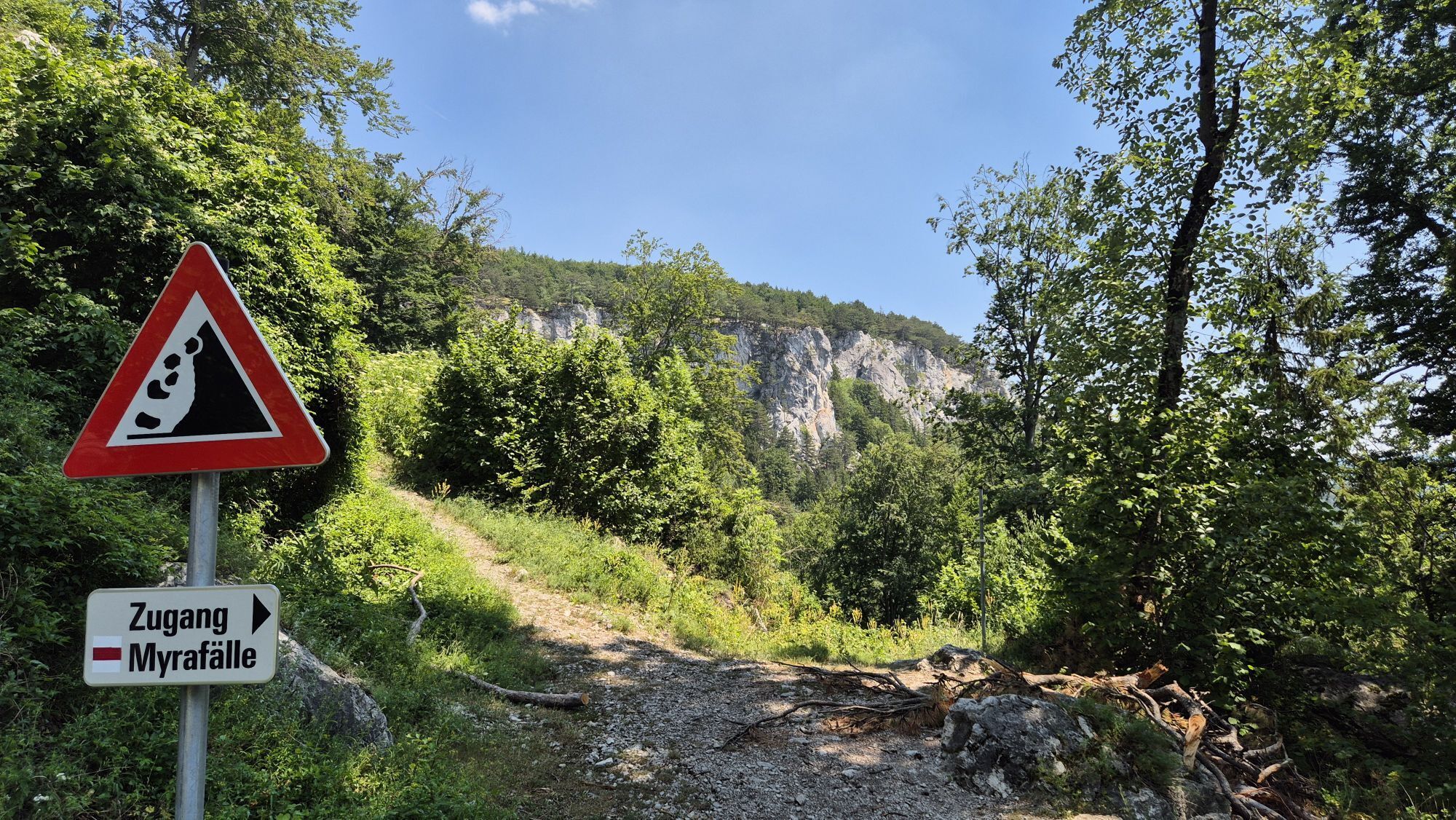
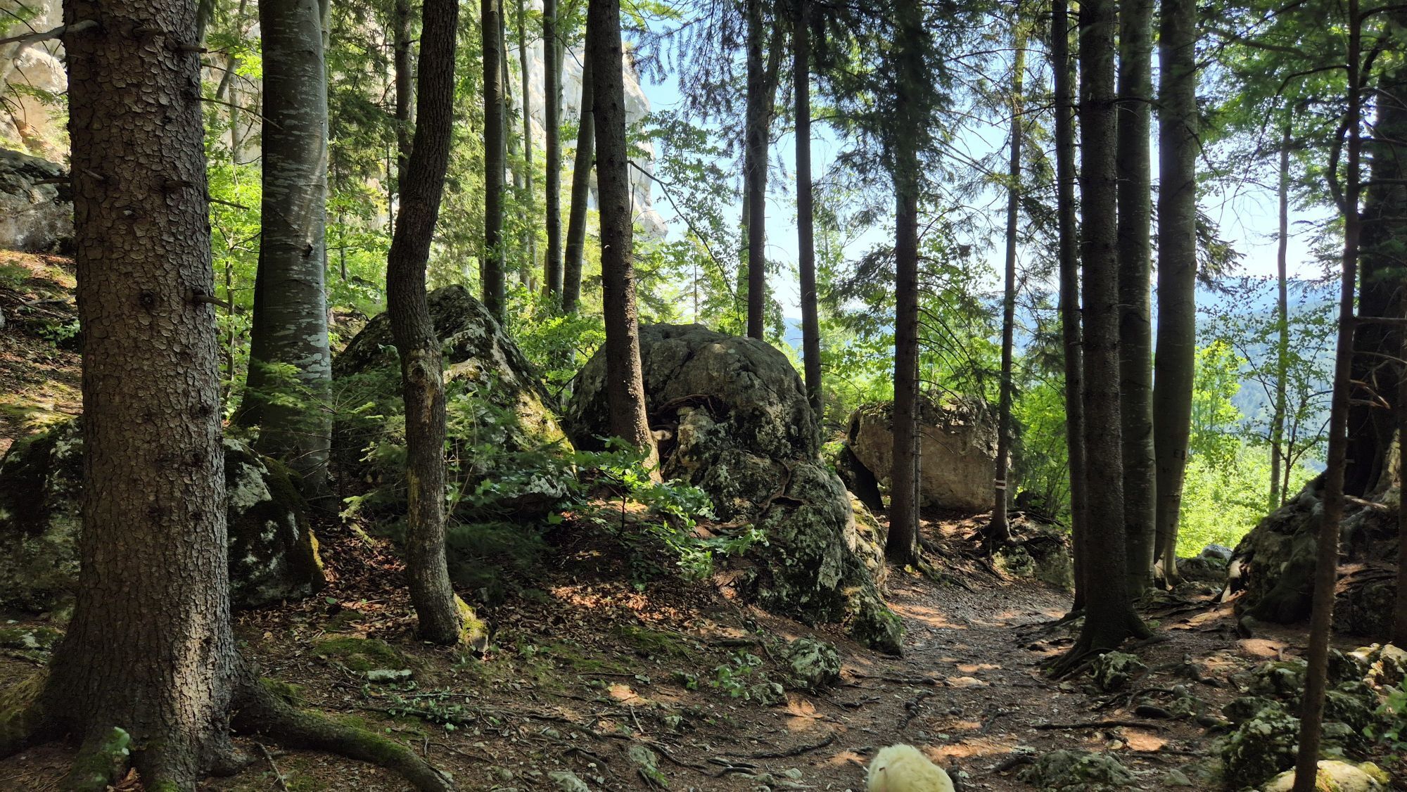
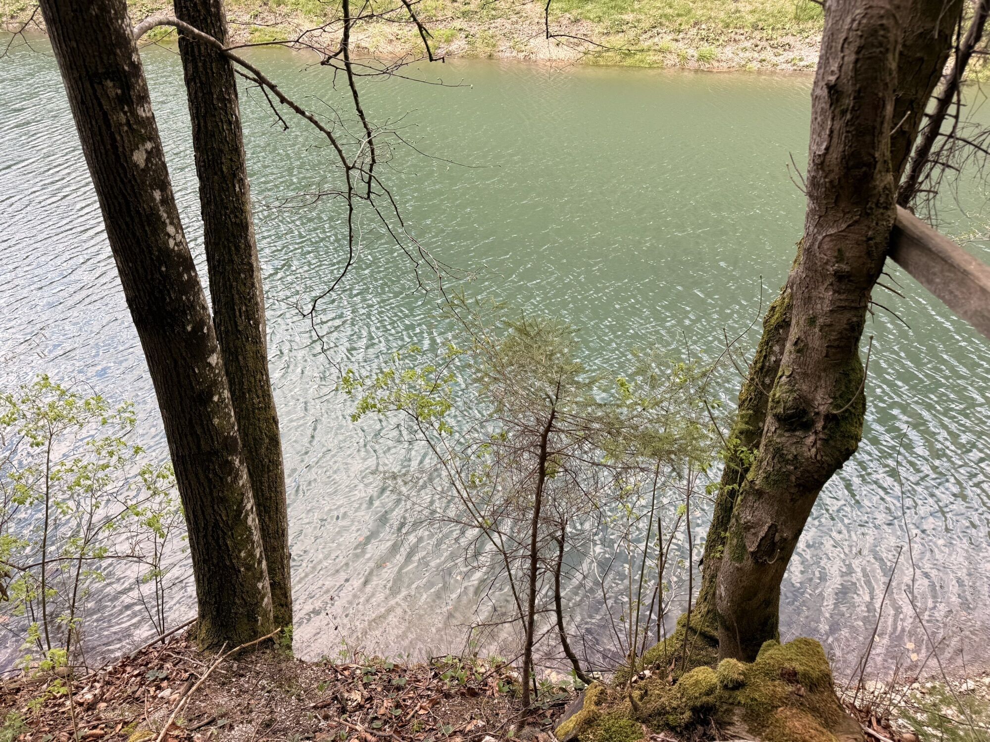
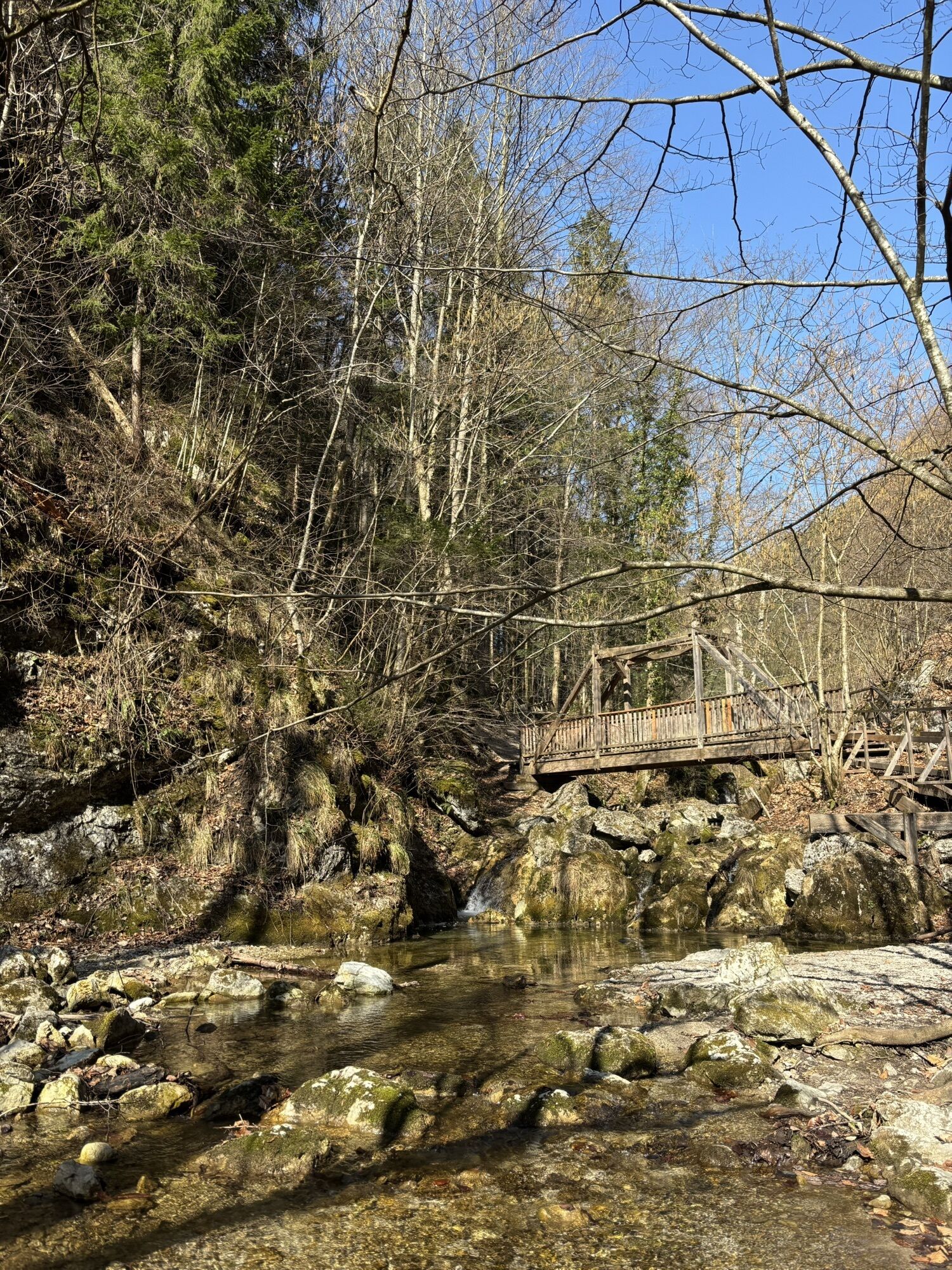
<p>The starting point is the parking lot at the Myrateich. We walk past the Myrastube, through the entrance gate. Along the many stairs and footbridges, we hike to the junction to Hausstein. From here, we can either circle around it or climb it. From the upper reservoir, we then return to the starting point.</p>
<p>Always take suitable <strong>maps</strong> with you. Wear sturdy <strong>shoes</strong> adapted to the route, take sun and rain protection as well as water and a small snack. Take your <strong>mobile phone</strong> with you and save the mountain rescue emergency number: 140</p>
<p>Your hikes in the Vienna Alps should be a thoroughly pleasant and safe experience. Please observe the following:</p><p><strong>Preparation </strong></p><p>Make sure when choosing the route that it matches your mountain experience and your <strong>fitness</strong>. Check the <strong>weather forecast</strong> beforehand. Weather in the mountains can change suddenly and unexpectedly. Therefore, always start equipped accordingly (e.g., rain protection).</p><p>Check whether the <strong>huts and snack stations</strong> you want to visit on the way are open. <strong>Inform</strong> someone about your route choice and your planned return before you go.</p>
<p>South Motorway to the Wöllersdorf exit, then on the B21 to the centre of Pernitz, turn right to Muggendorf.</p>
<p>Southern Railway to Wiener Neustadt. Change to the Wiener Neustadt - Gutenstein line. Get off at the Pernitz/Muggendorf stop. Buses from Pernitz to Muggendorf run irregularly. Walking time from Pernitz to Muggendorf approx. 1 hour.</p><p>More information at <a href="www.oebb.at">www.oebb.at</... and <a href="www.vor.at">www.vor.at</a&... public transport on Sundays and public holidays during the summer holidays, a bus runs seven times daily from Pernitz station to Muggendorf and back (hourly from 10:23 a.m. – except 1:23 p.m.)</strong></p>
<p>Parking guidance system - parking lot at the Myrateich</p>
More information:
Vienna Alps in Lower Austria, www.wieneralpen.at, +43 / 2622 / 78960
Tourism office Puchberg am Schneeberg, www.puchberg.at, +43 / 2636 / 2256
Municipal office Muggendorf, www.muggendorf.at, +43 / 2632 / 74330


Obľúbené výlety v okolí
-
4,5
Erlebnisweg Peilstein...auf den Spuren der Kletterer
strednáTematická trasa 6 km -
4,8
ÖTK Klettersteig (vormals HTL Klettersteig) und Blutspur (D/E)
ťažkéVia ferrata 1,41 km -
4,8
Gelände vom Grünbacher Sattel
strednáTuristika 7,52 km -
4,8
Schober- Öhler
strednáTuristika 12,2 km -
4,8
Hohe Wand: Babygrat (1+), Rundwanderung und Wagnersteig (A)
ťažkéTuristika 11,8 km -
4,8
Hohe Wand Wagnersteig - Springlessteig
strednáTuristika 5,59 km -
4,7
Hohe Wand: Grafenbergweg - Große Kanzel - Rastkreuz - Gländ
strednáTuristika 9,03 km -
4,7
Kleine und große Klause - Rundwanderung
svetloTuristika 7,10 km -
4,6
Kieneck über Enziansteig & Mareschsteig
svetloTuristika 13,8 km -
4,6
Wienerwald: Maria Raisenmarkt - Peilstein
svetloZimná turistika 6,82 km
Turistika a stopovanie


Nenechajte si ujsť ponuky a inšpiráciu na ďalšiu dovolenku
Vaša e-mailová adresa bol pridaný do poštového zoznamu.





