


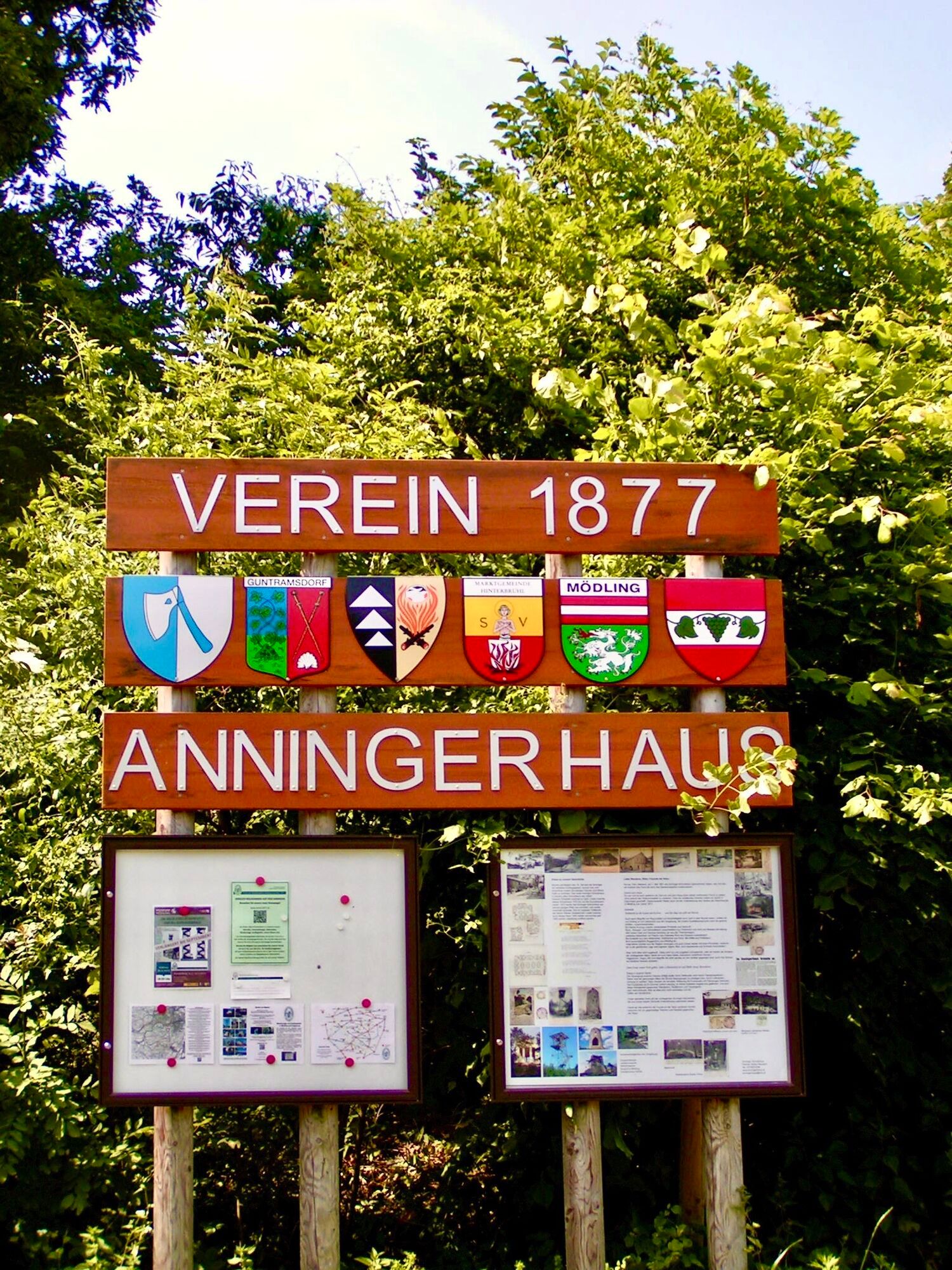
Circular hike Anninger Schutzhaus
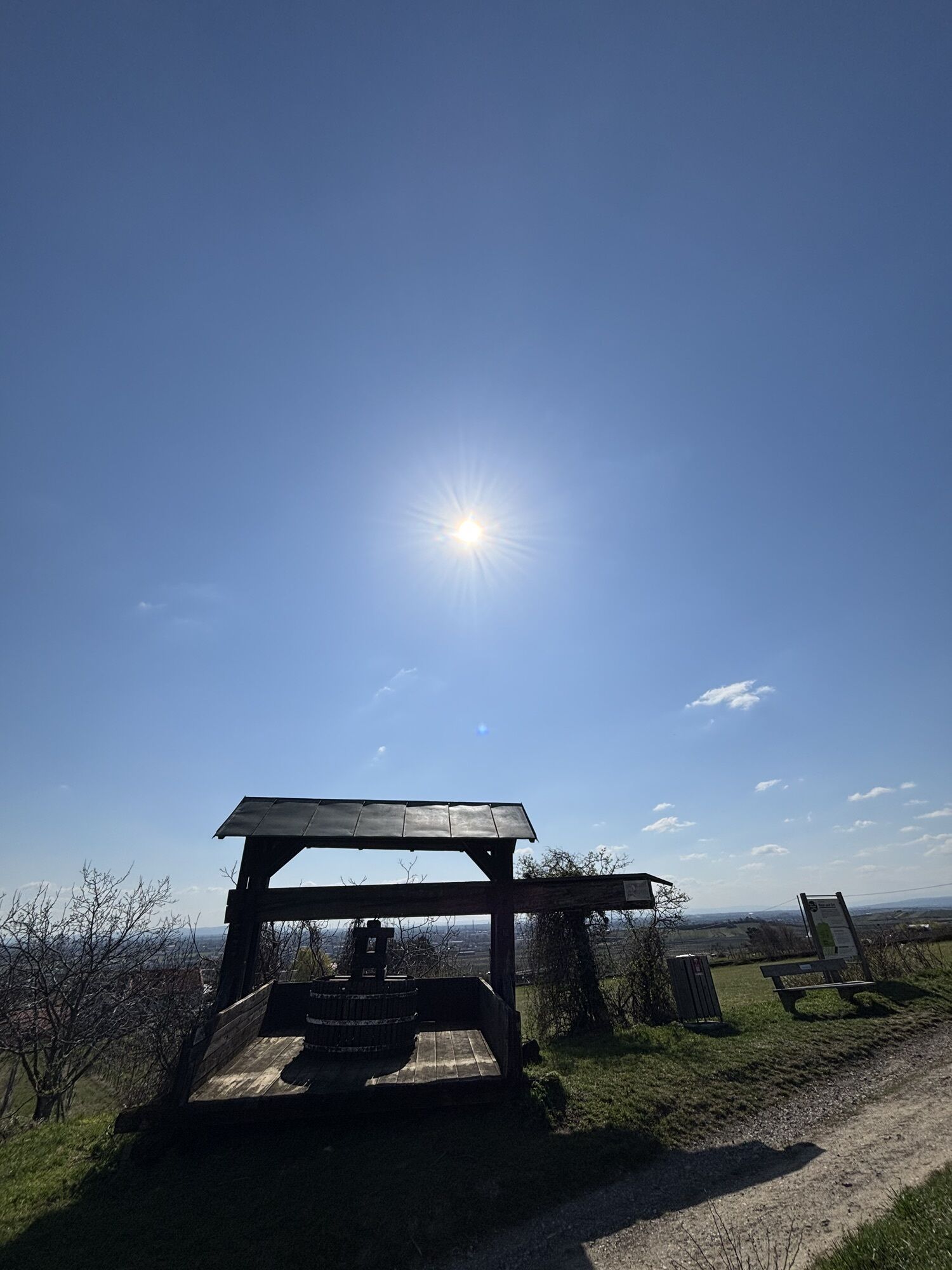
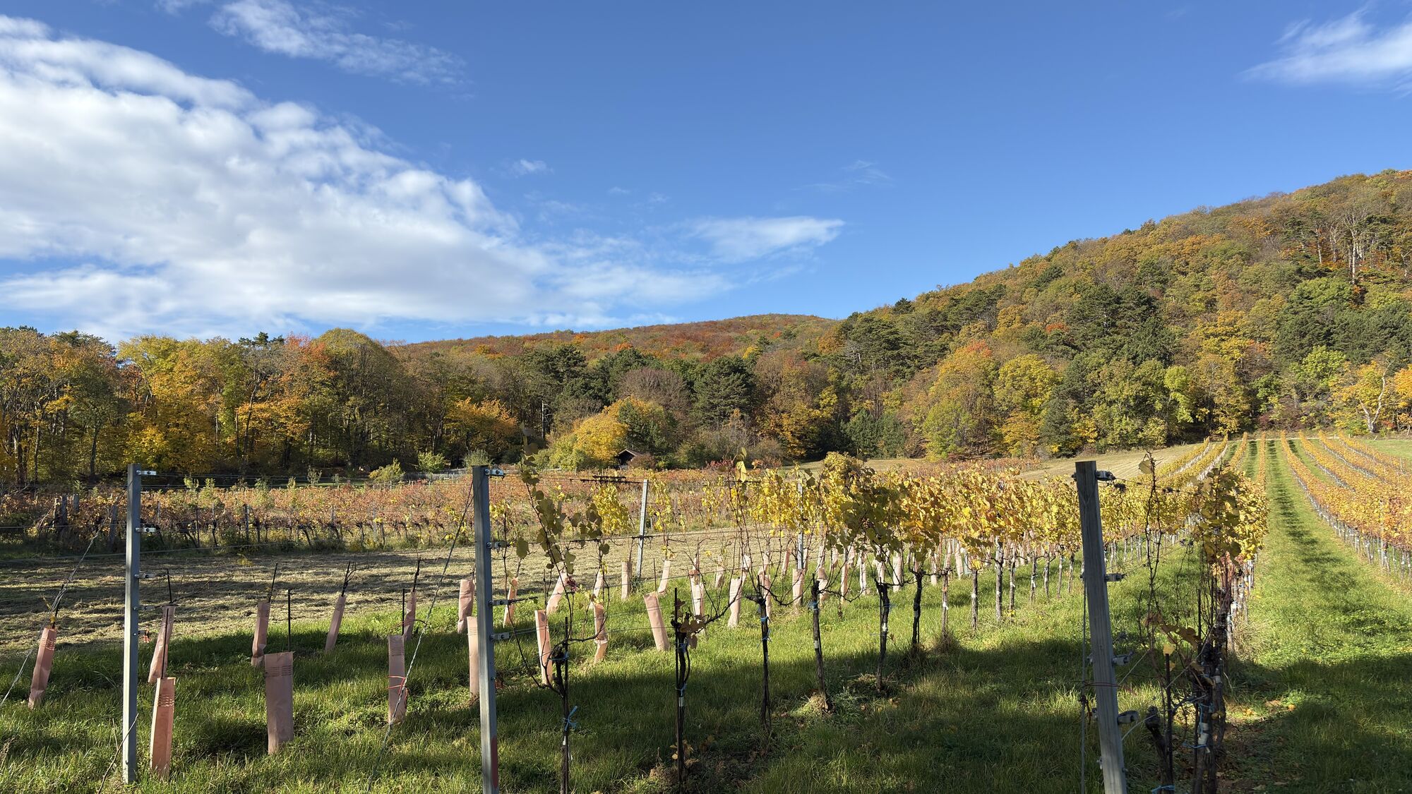
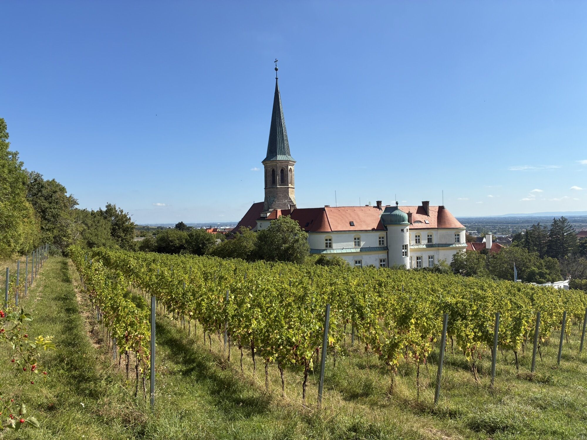


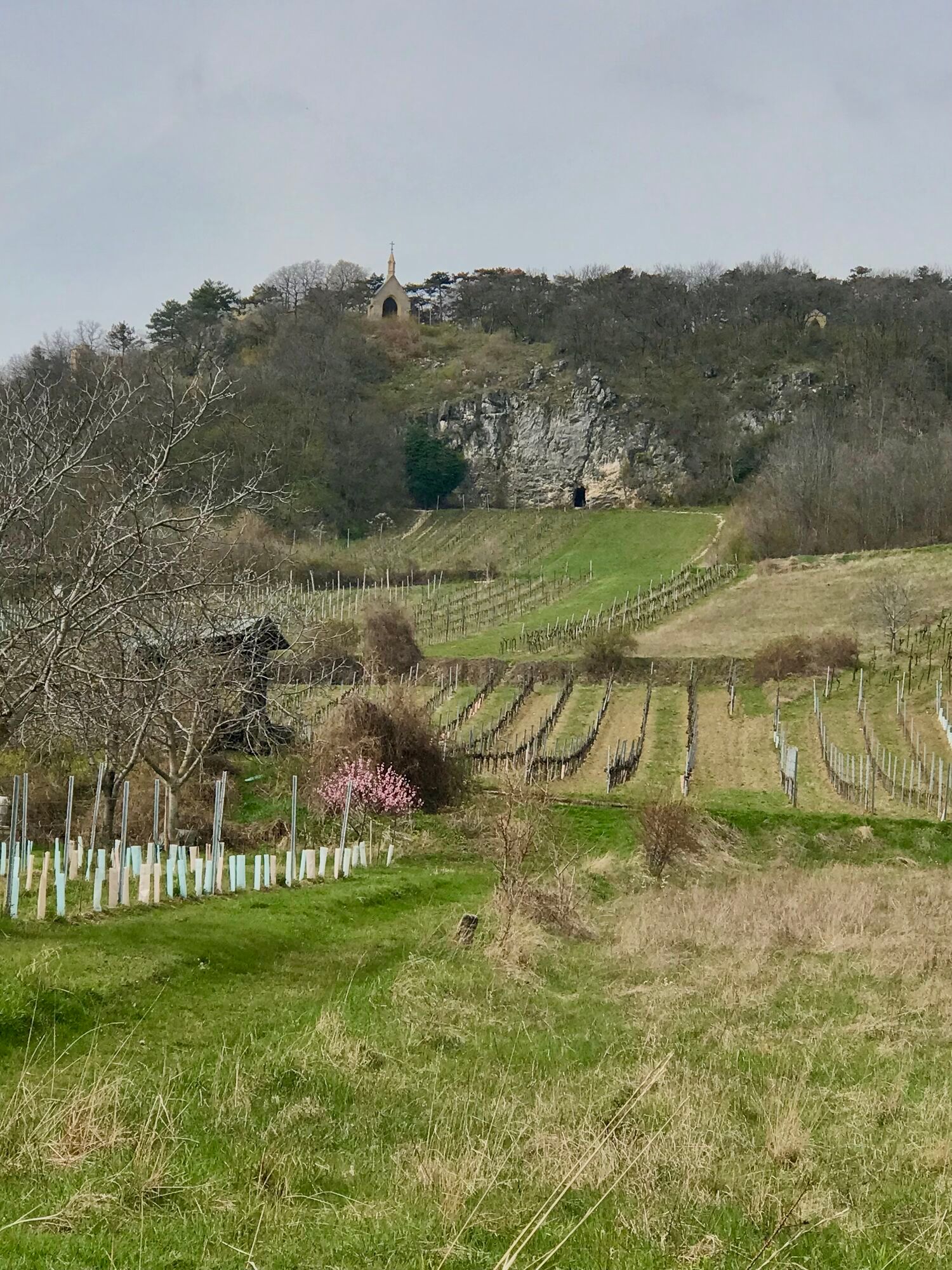
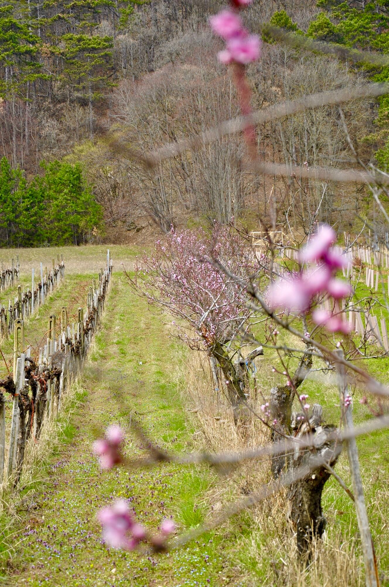
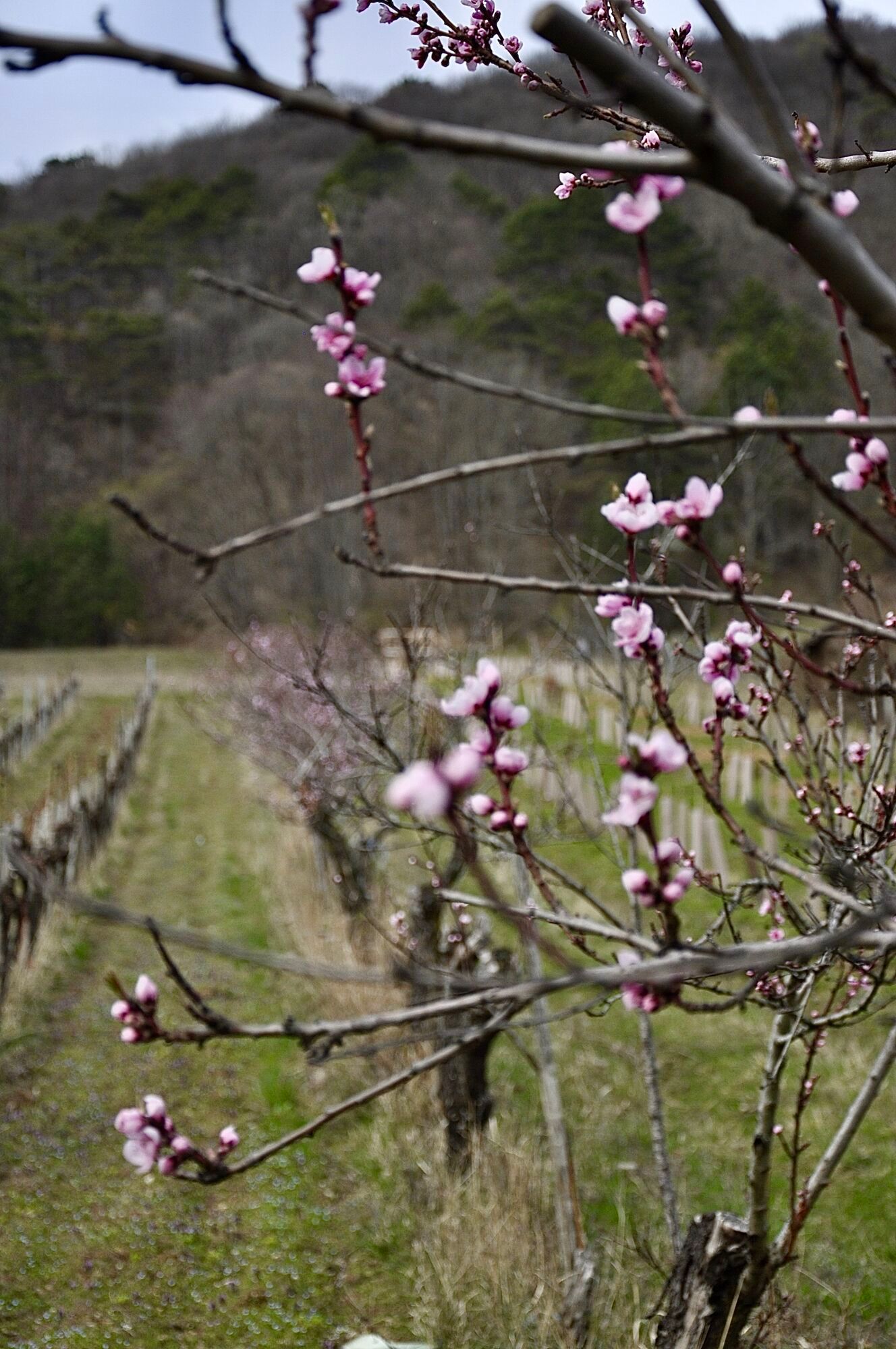
Tip/Fun fact: Numerous vineyards in the diverse wine-growing region are sustainably managed and produce top-quality wines that are awarded at the annual BPWW wine competition.
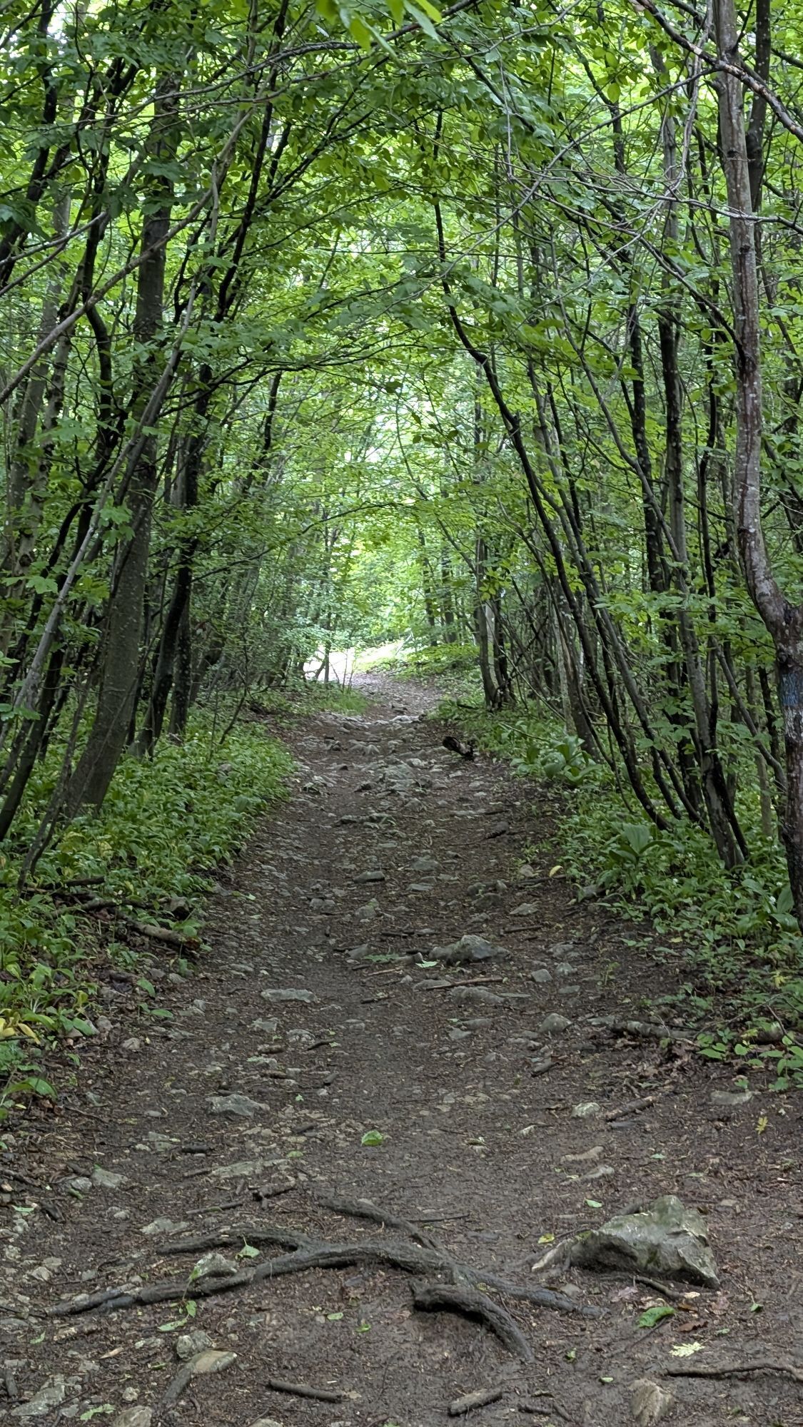
The entire route is suitable...
<p>Tip/Fun fact: Numerous vineyards in the diverse wine-growing region are sustainably managed and produce top-quality wines that are awarded at the annual BPWW wine competition.</p><p>The entire route is suitable for families, but not suitable for strollers. At the beginning of the route, it goes steeply uphill, and at the end quite steeply downhill.</p>

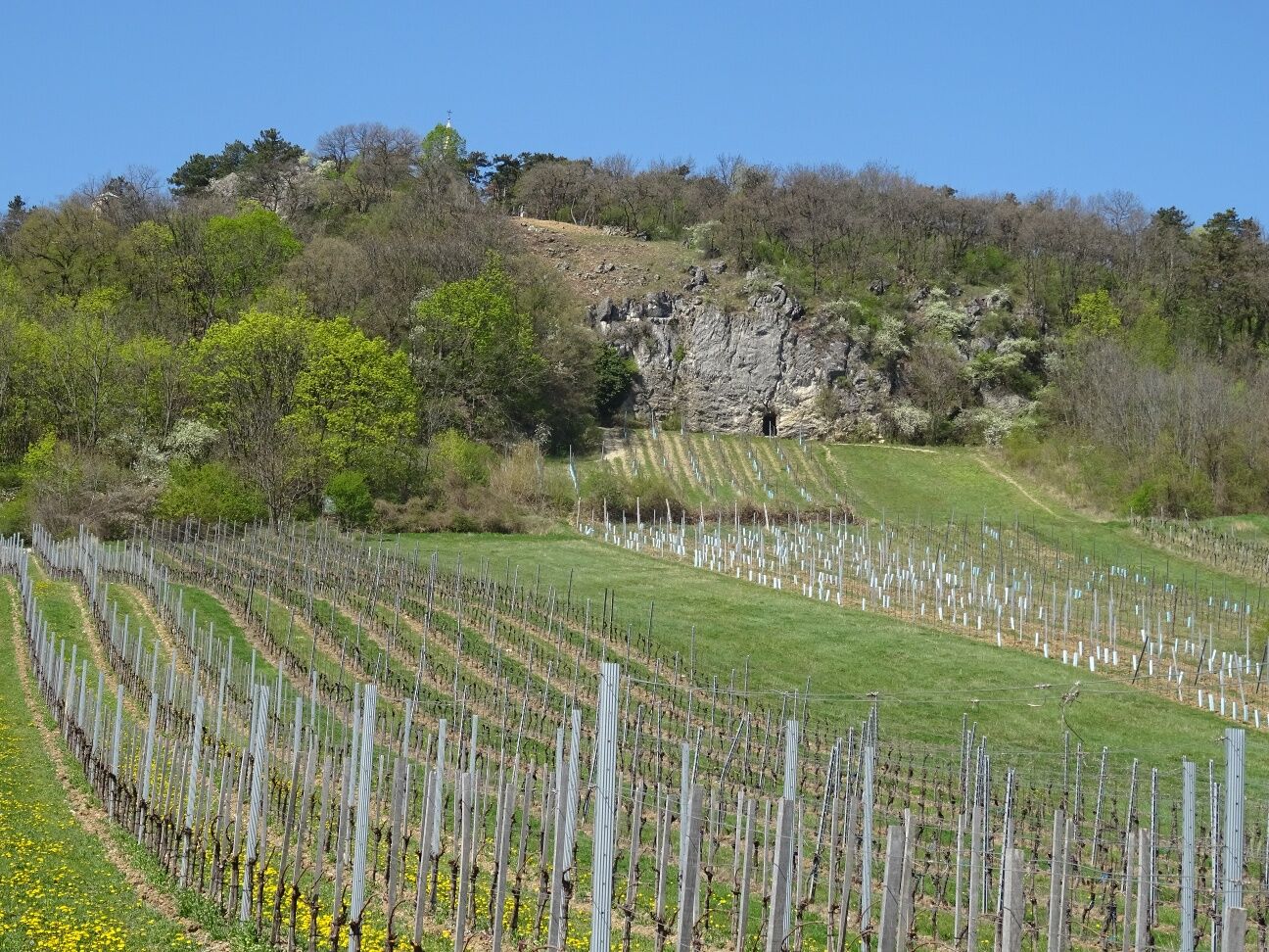
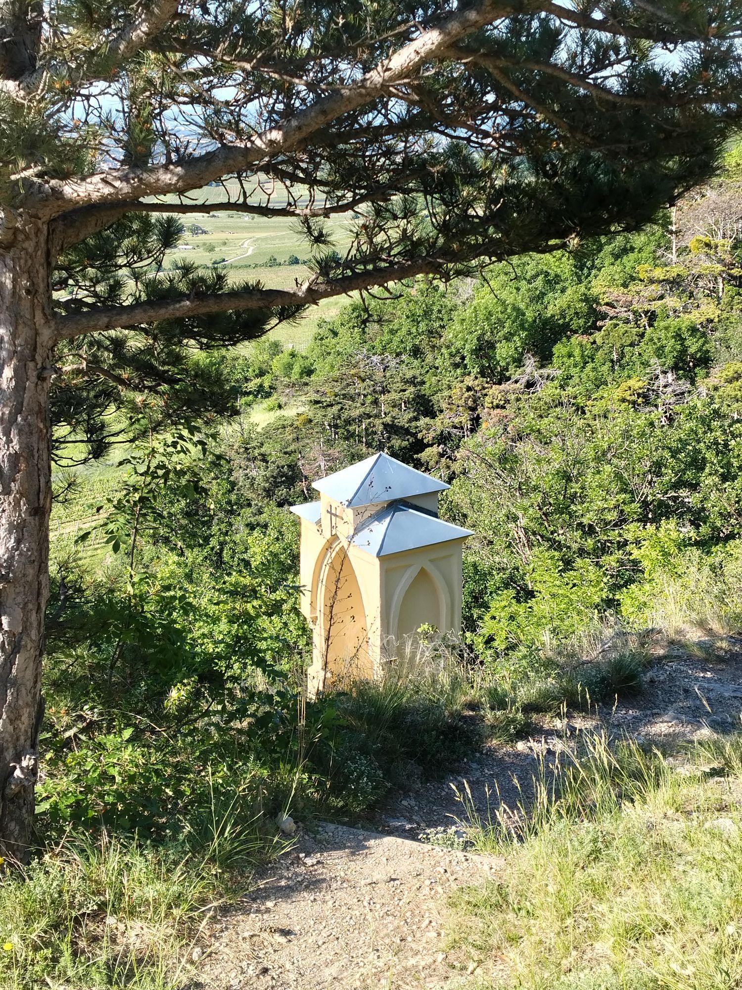
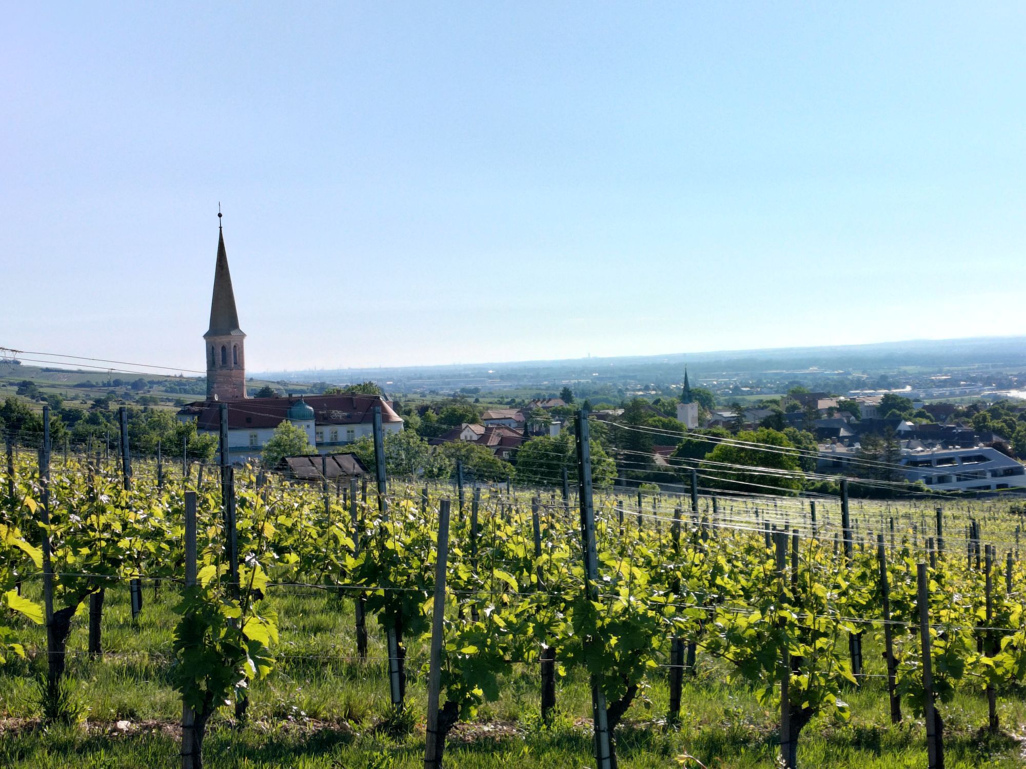
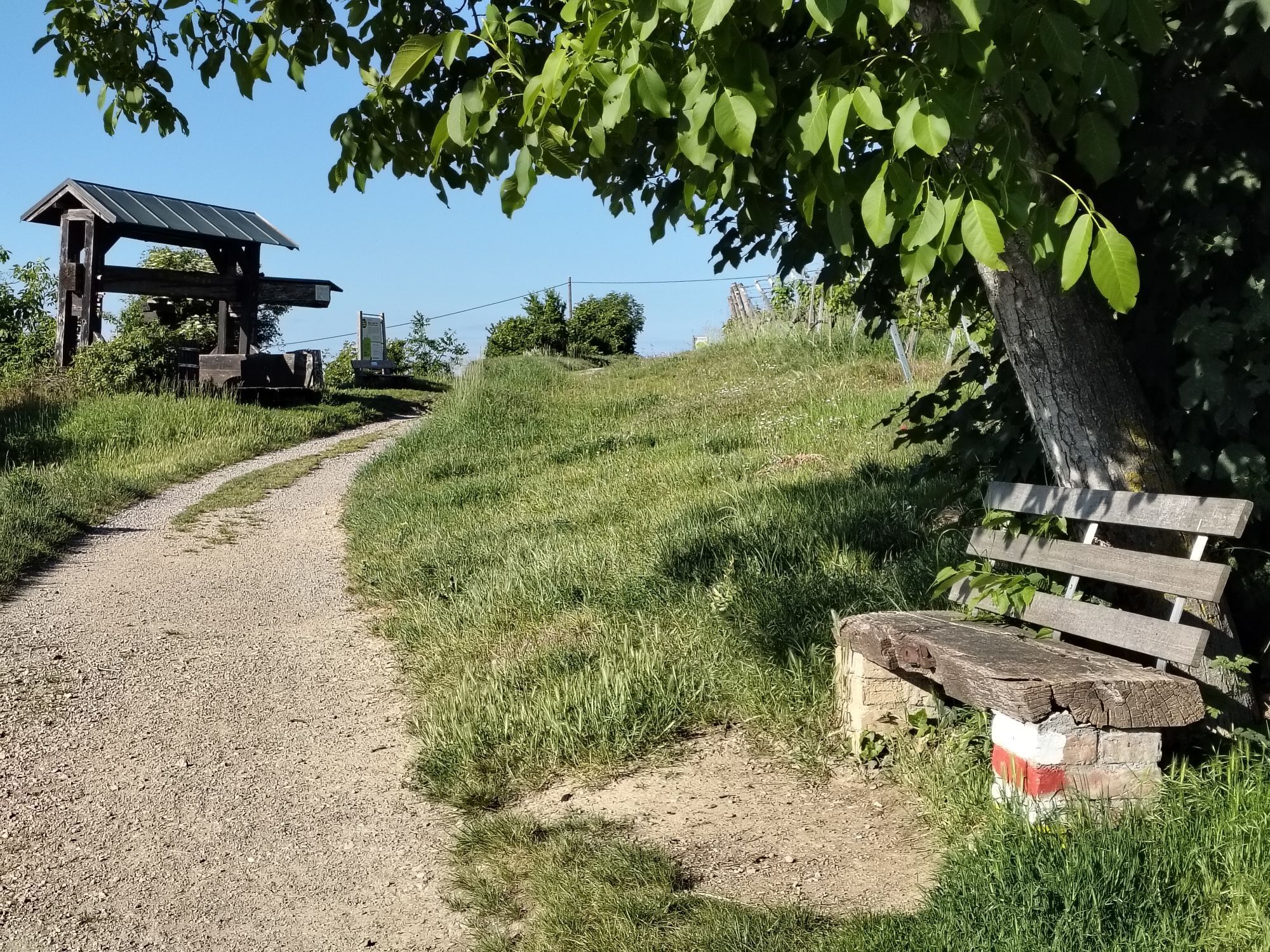
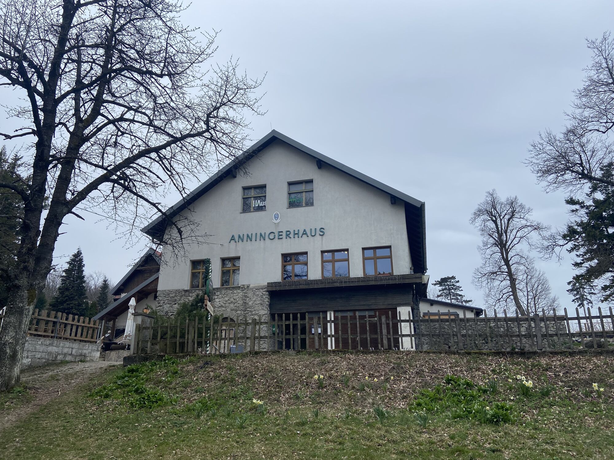
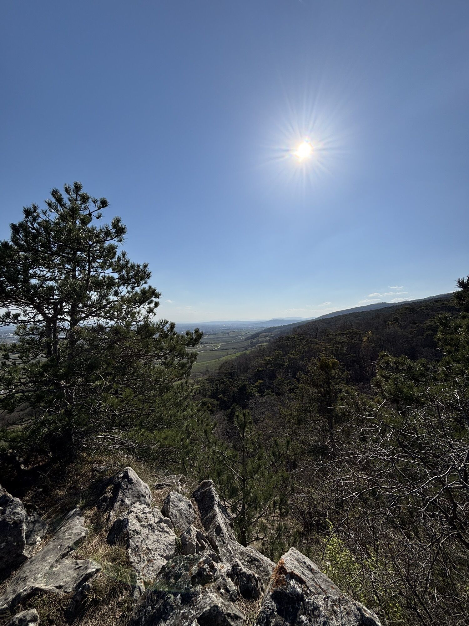
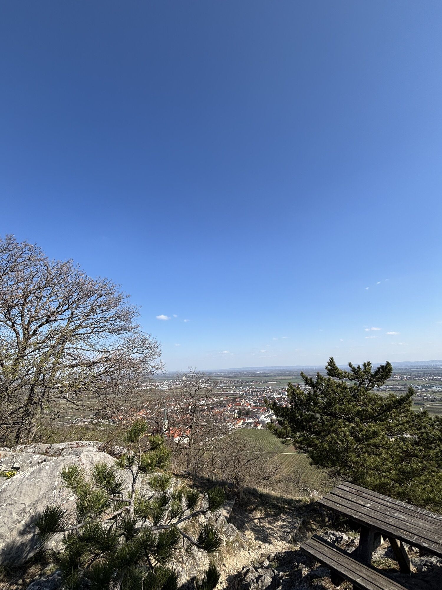
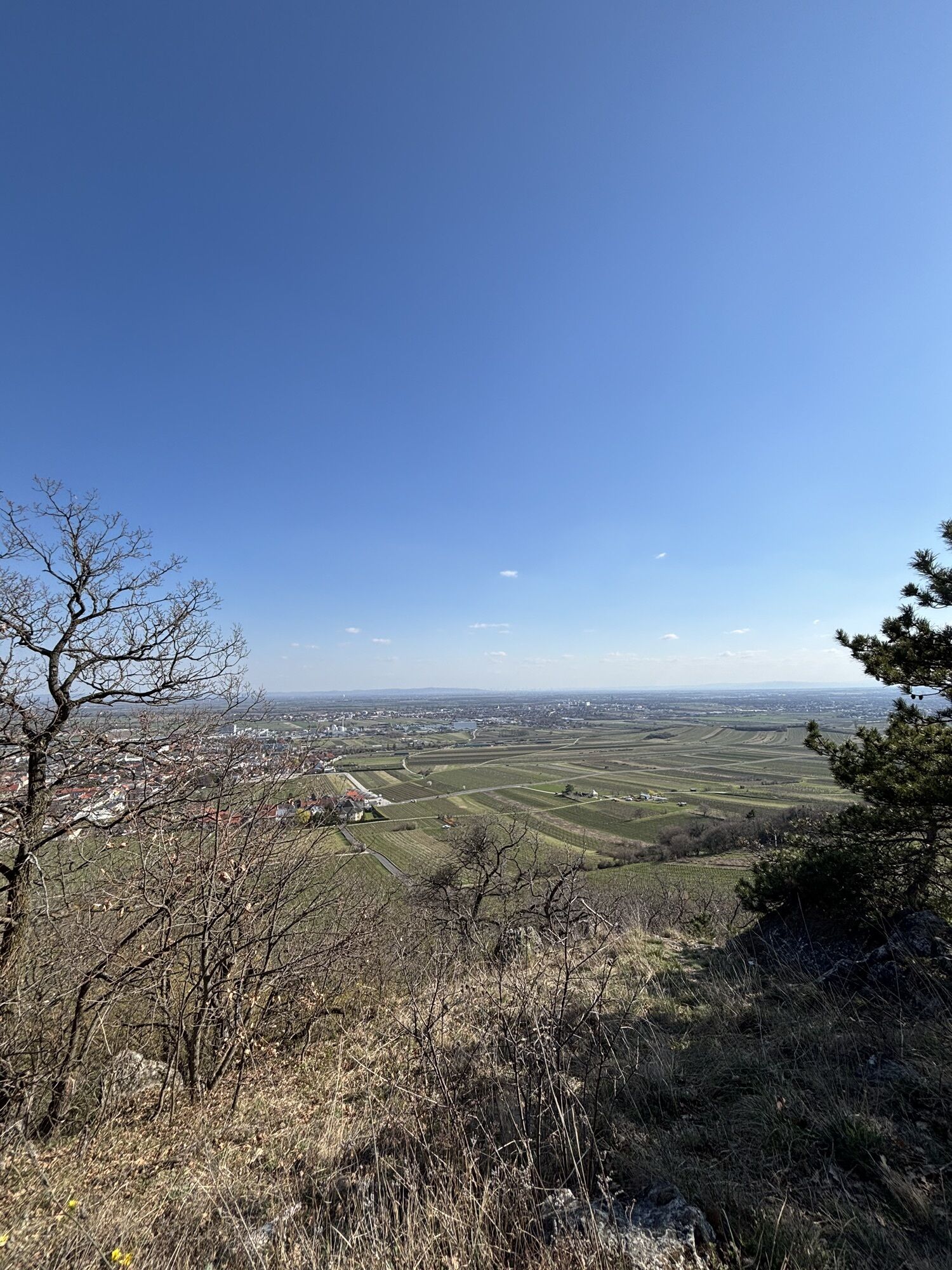
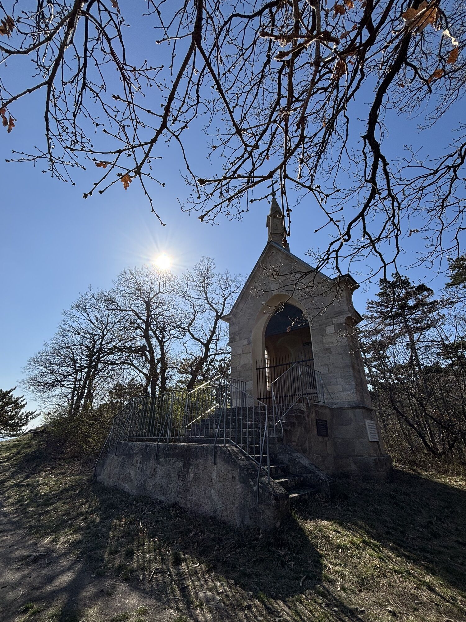
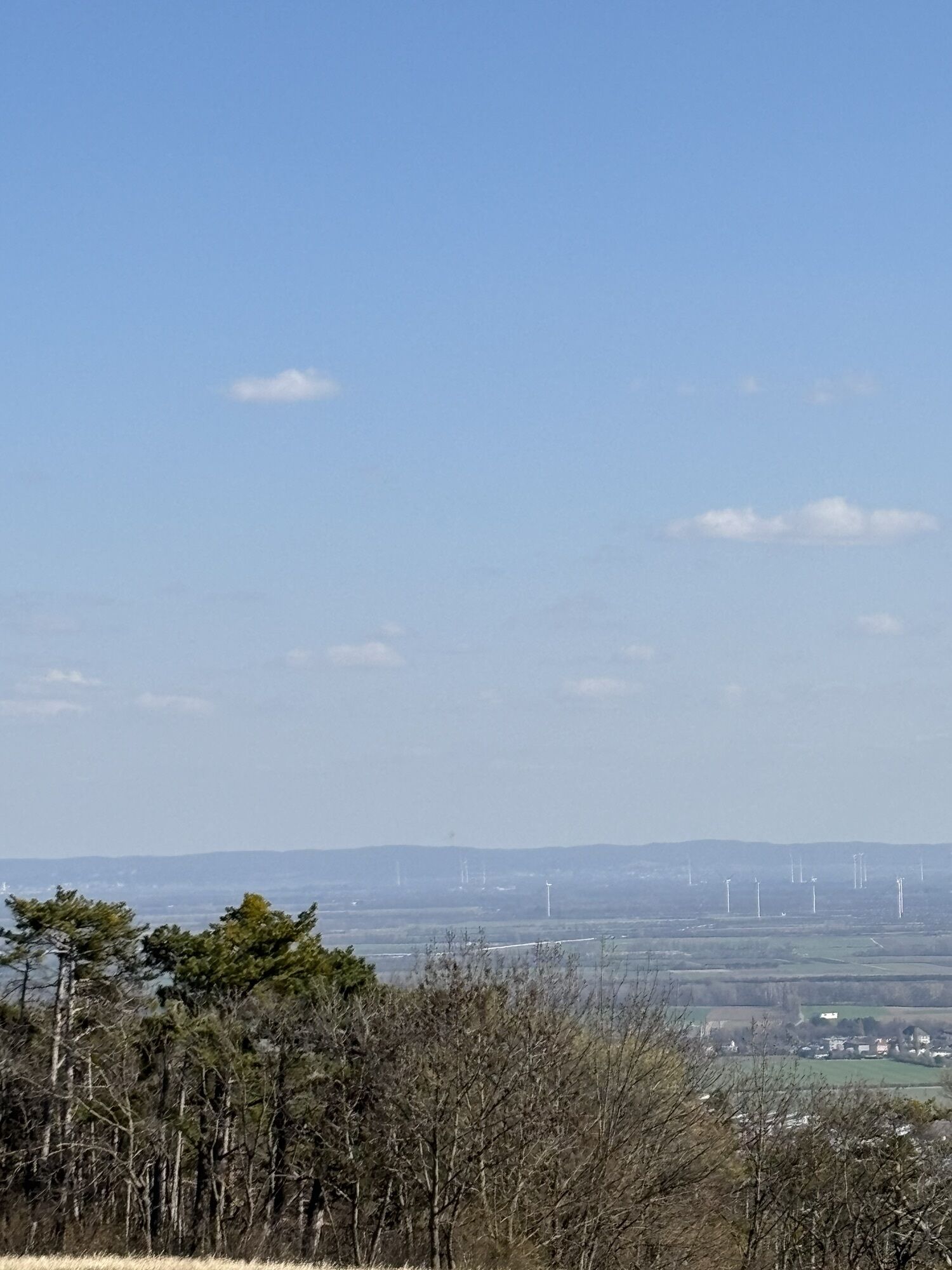
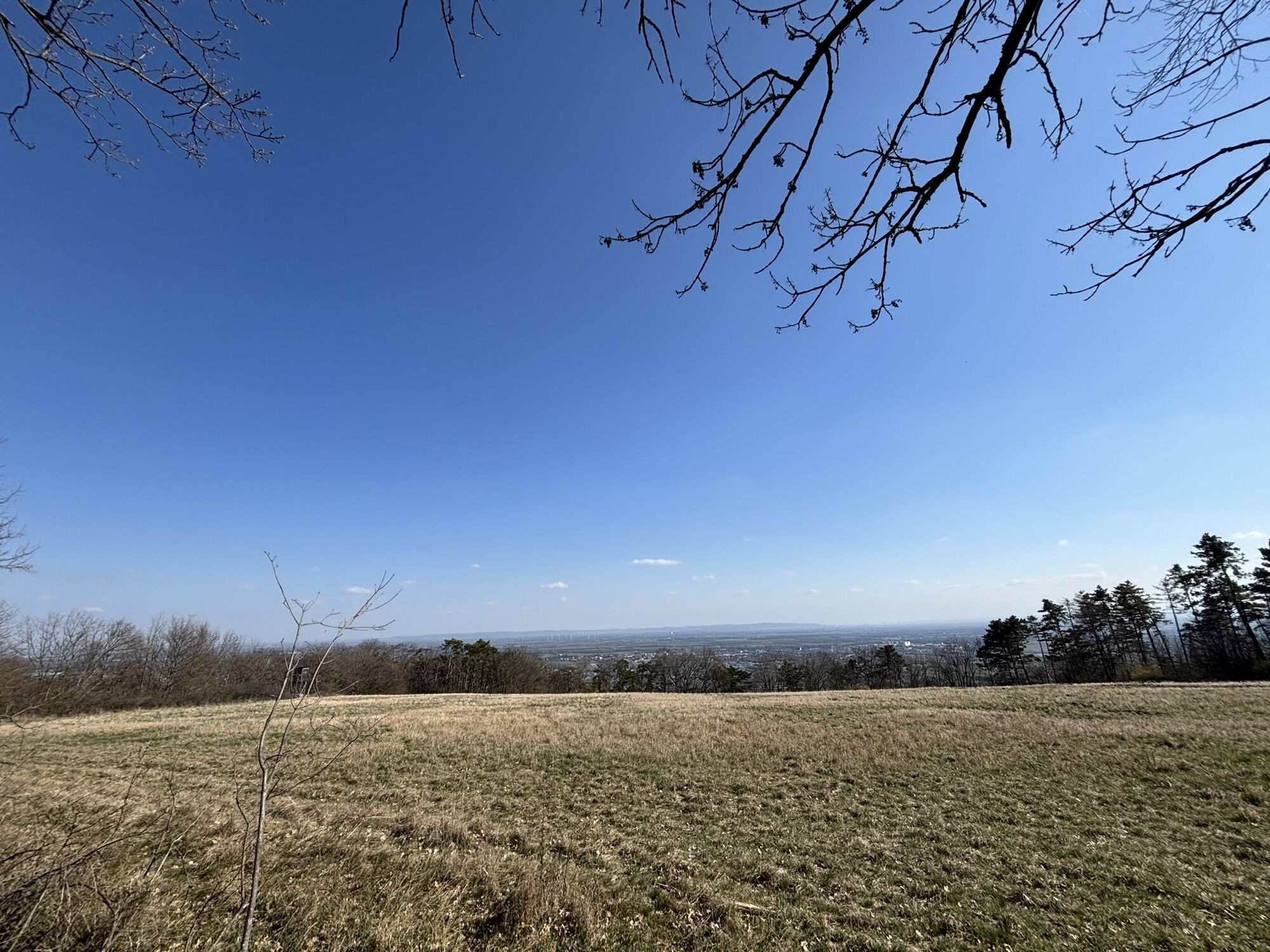
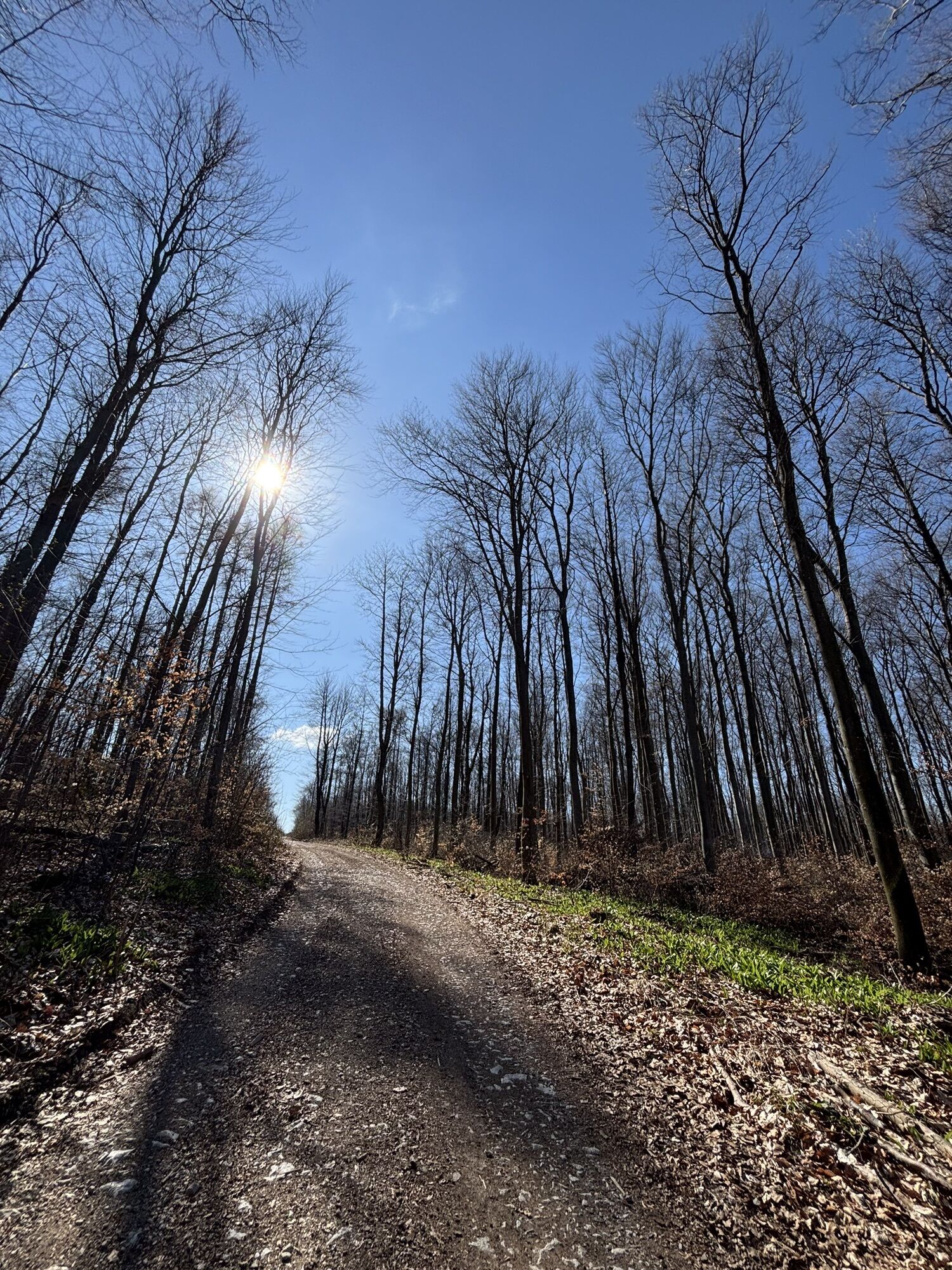
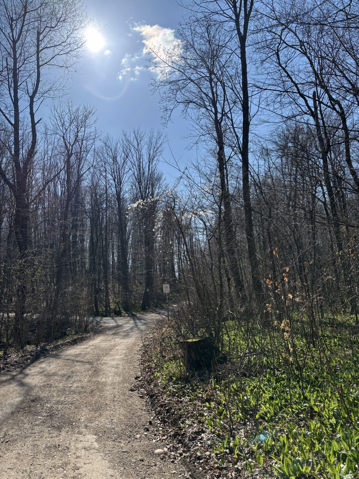
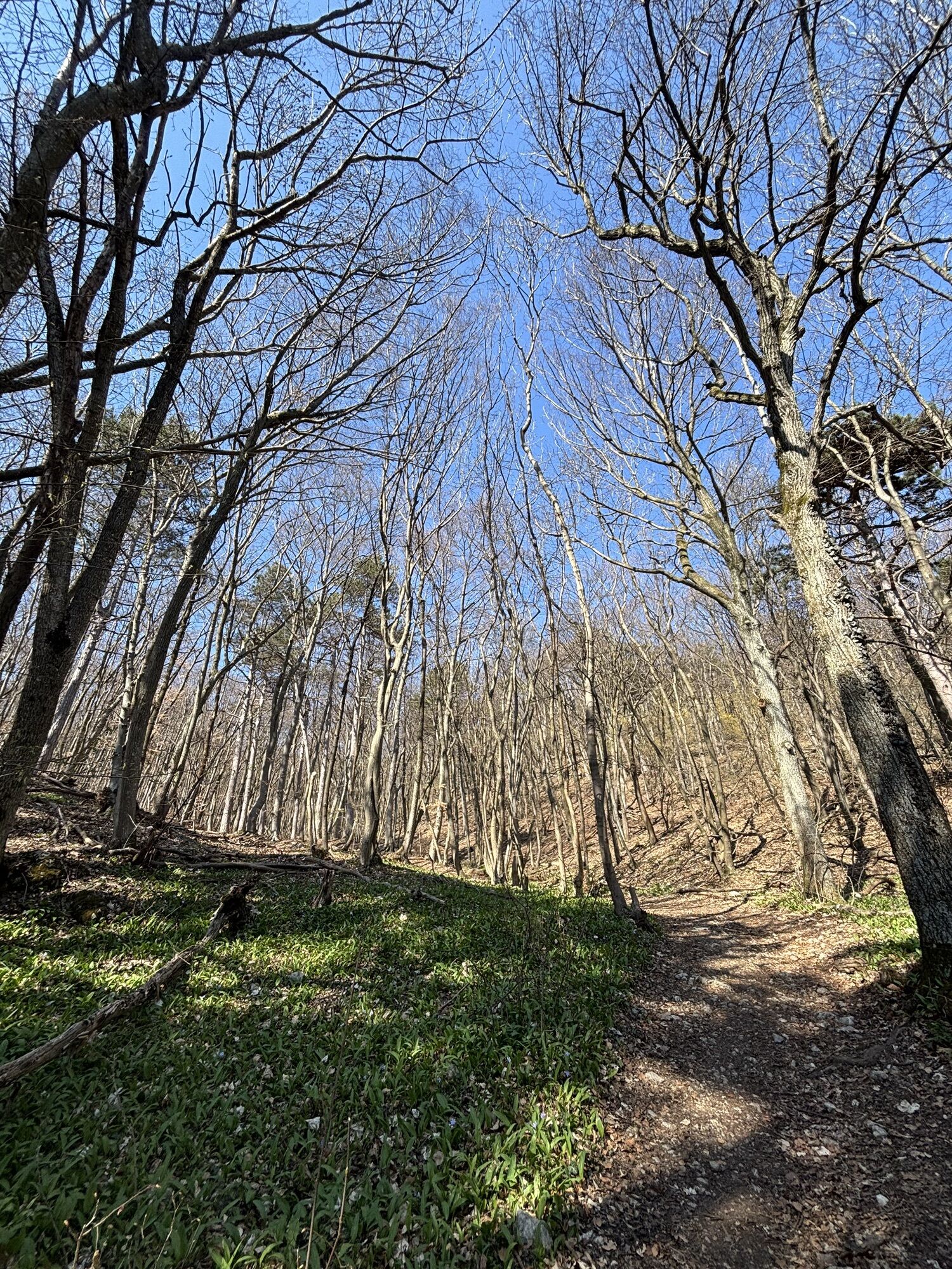
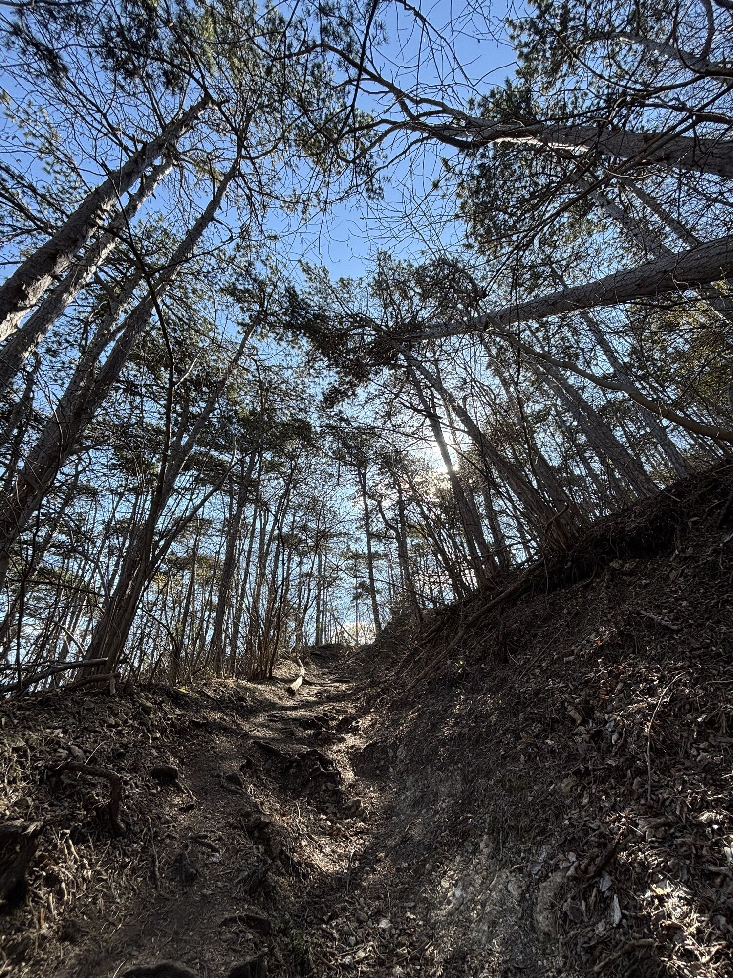
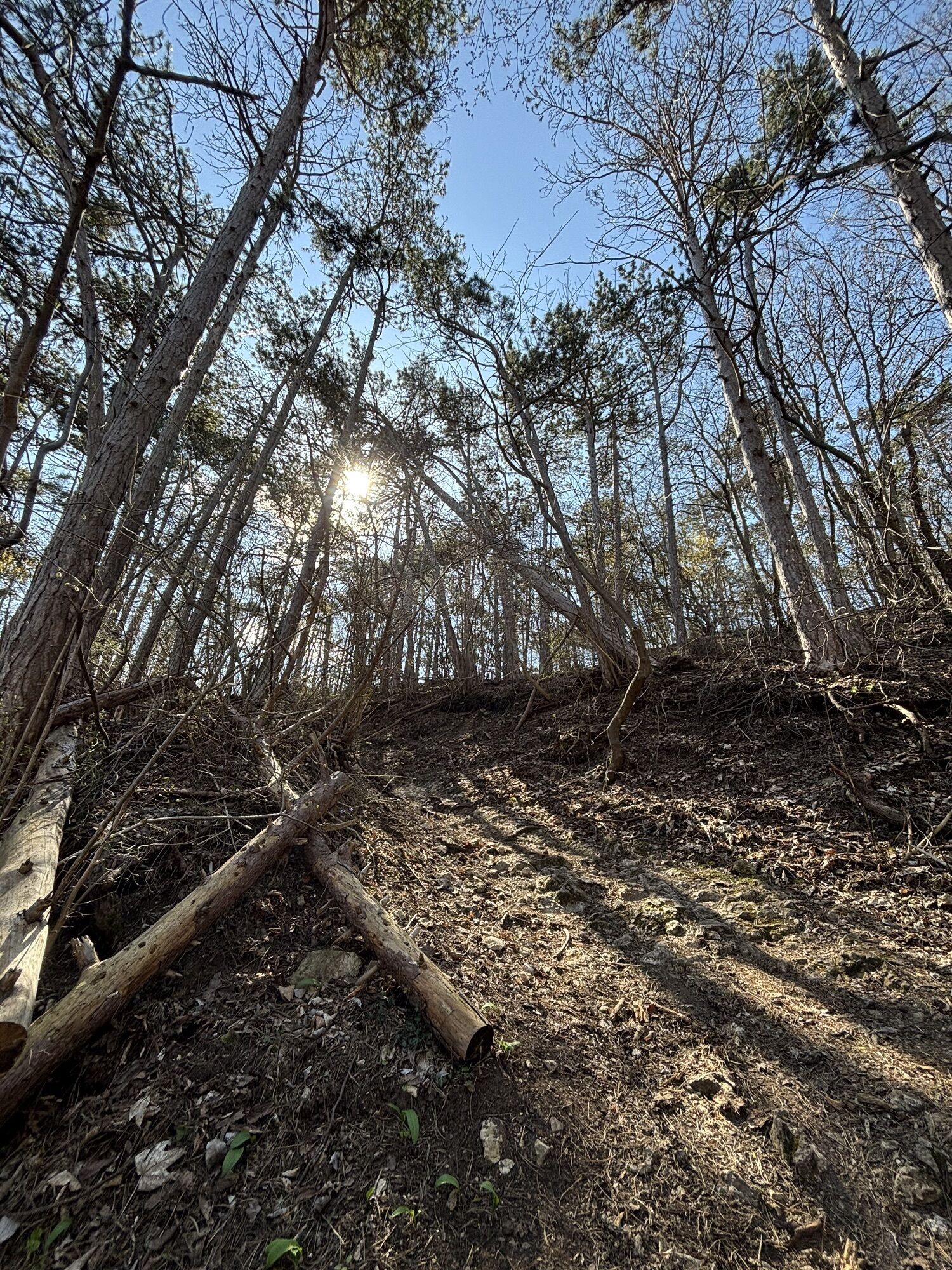
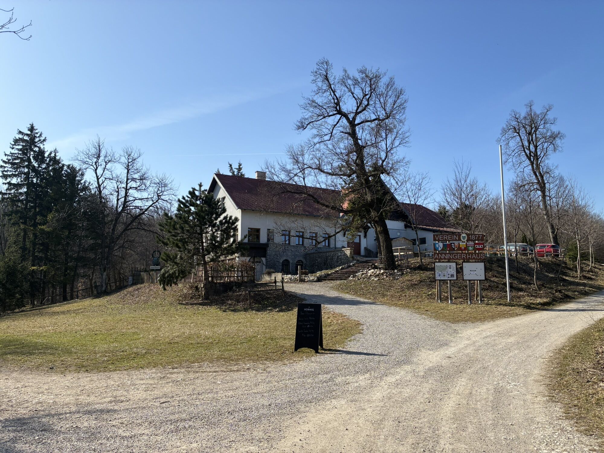
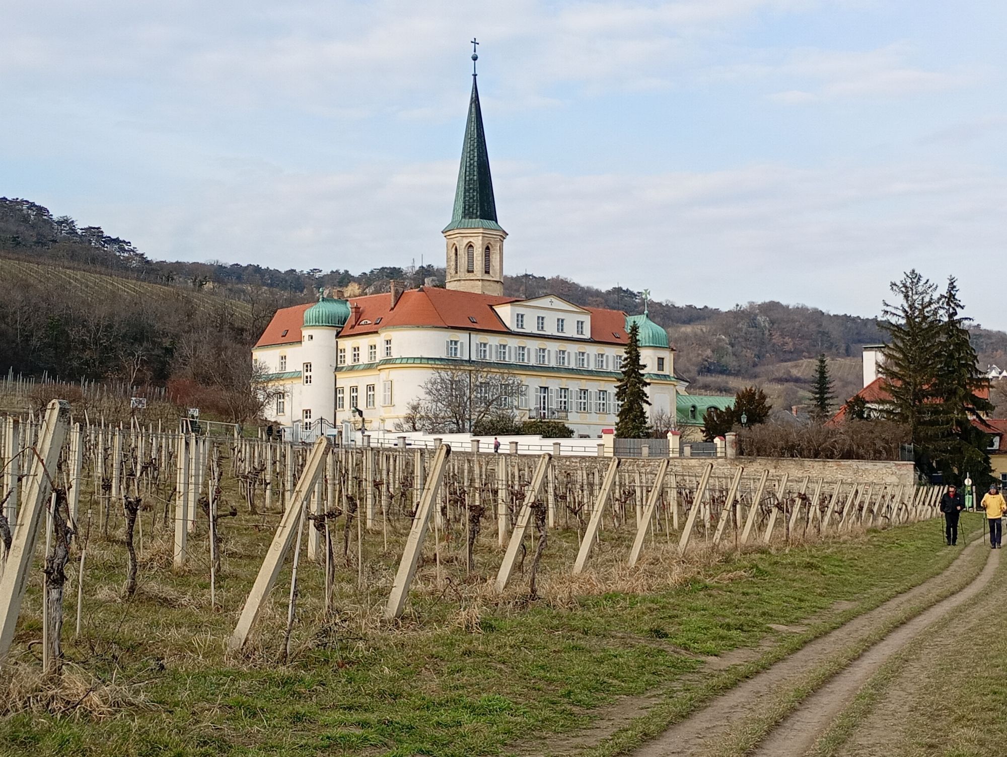
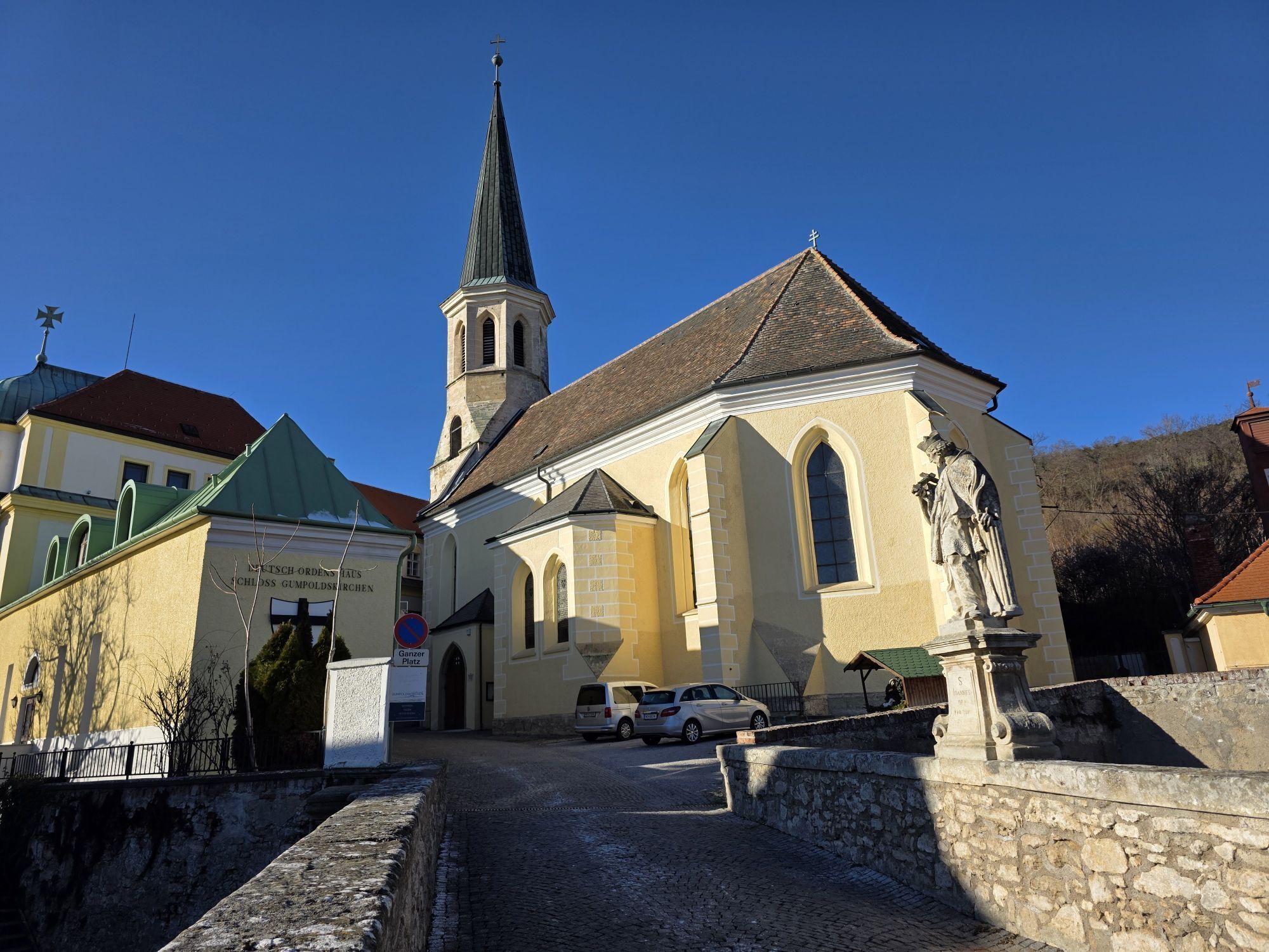
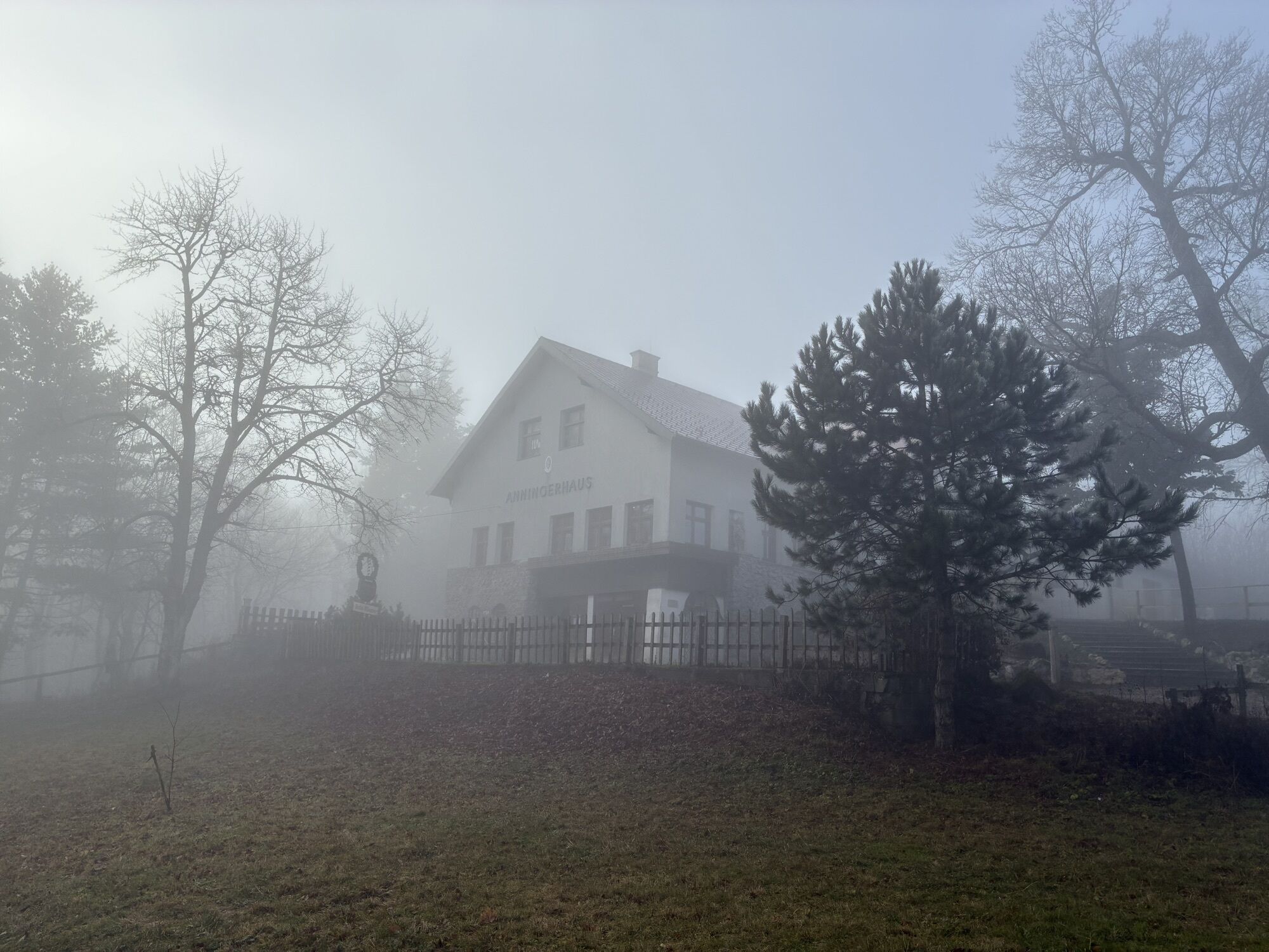
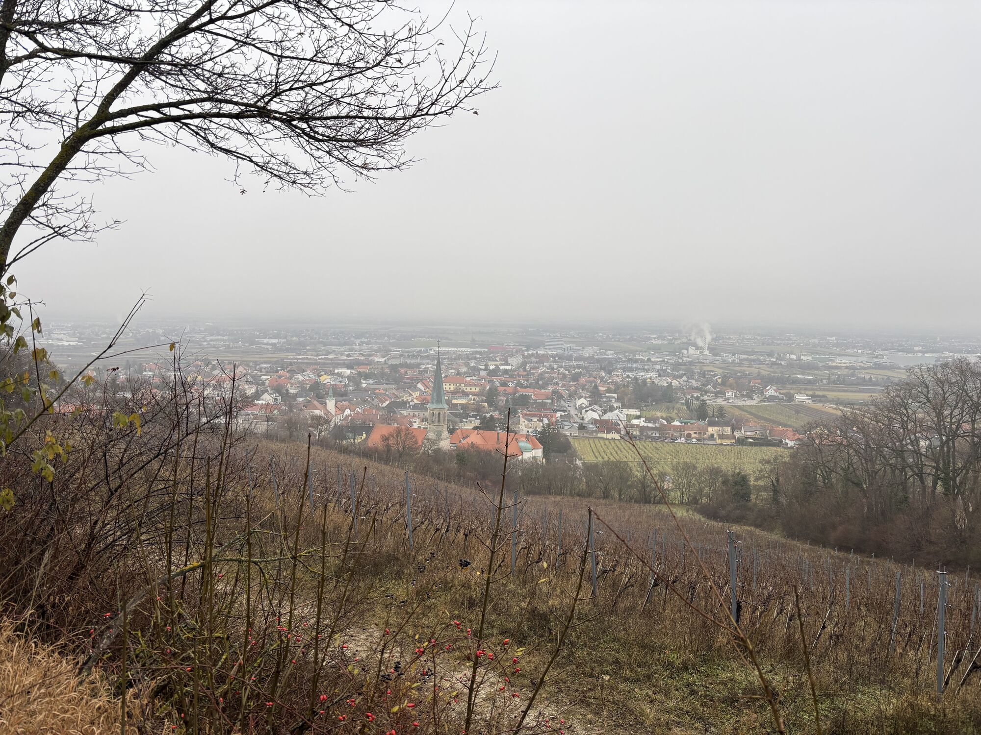
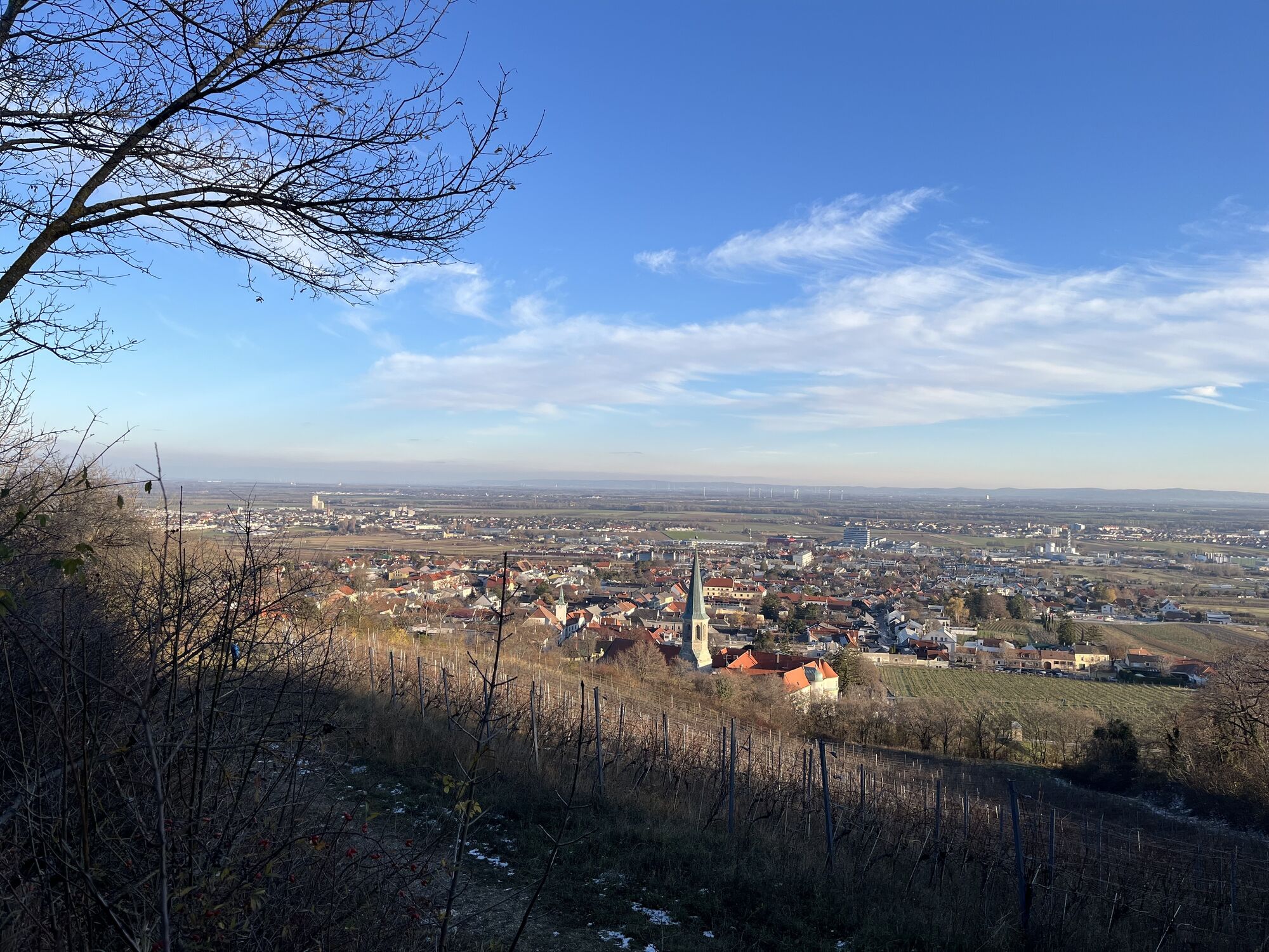
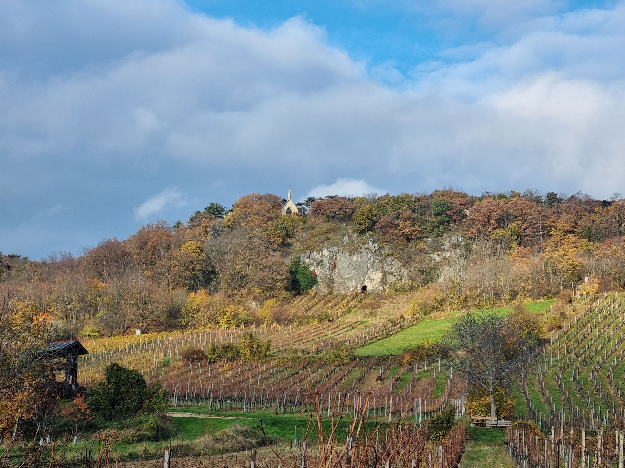
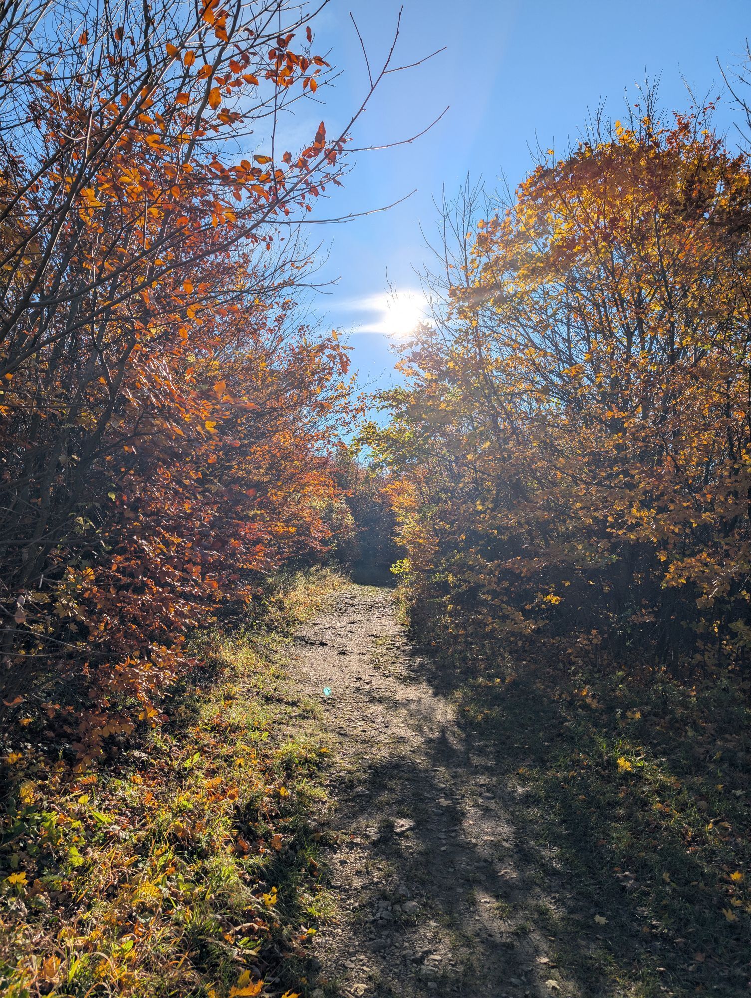
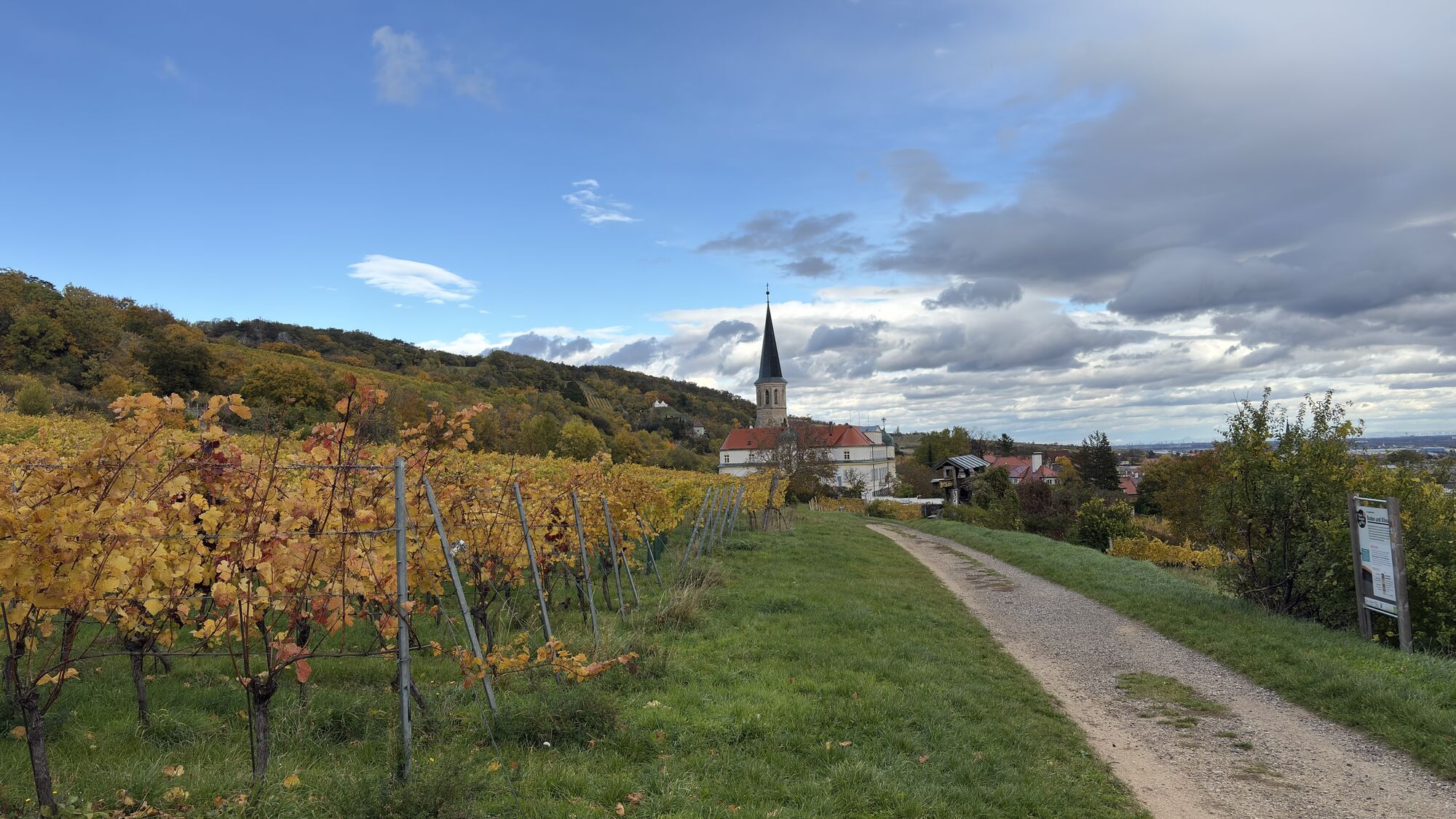
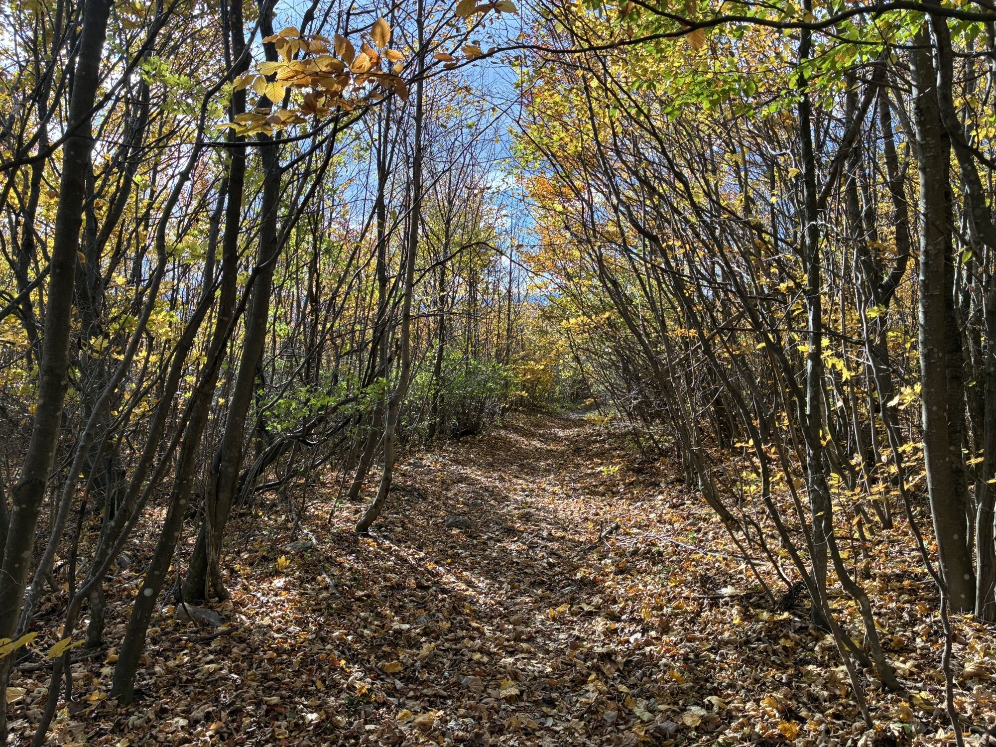
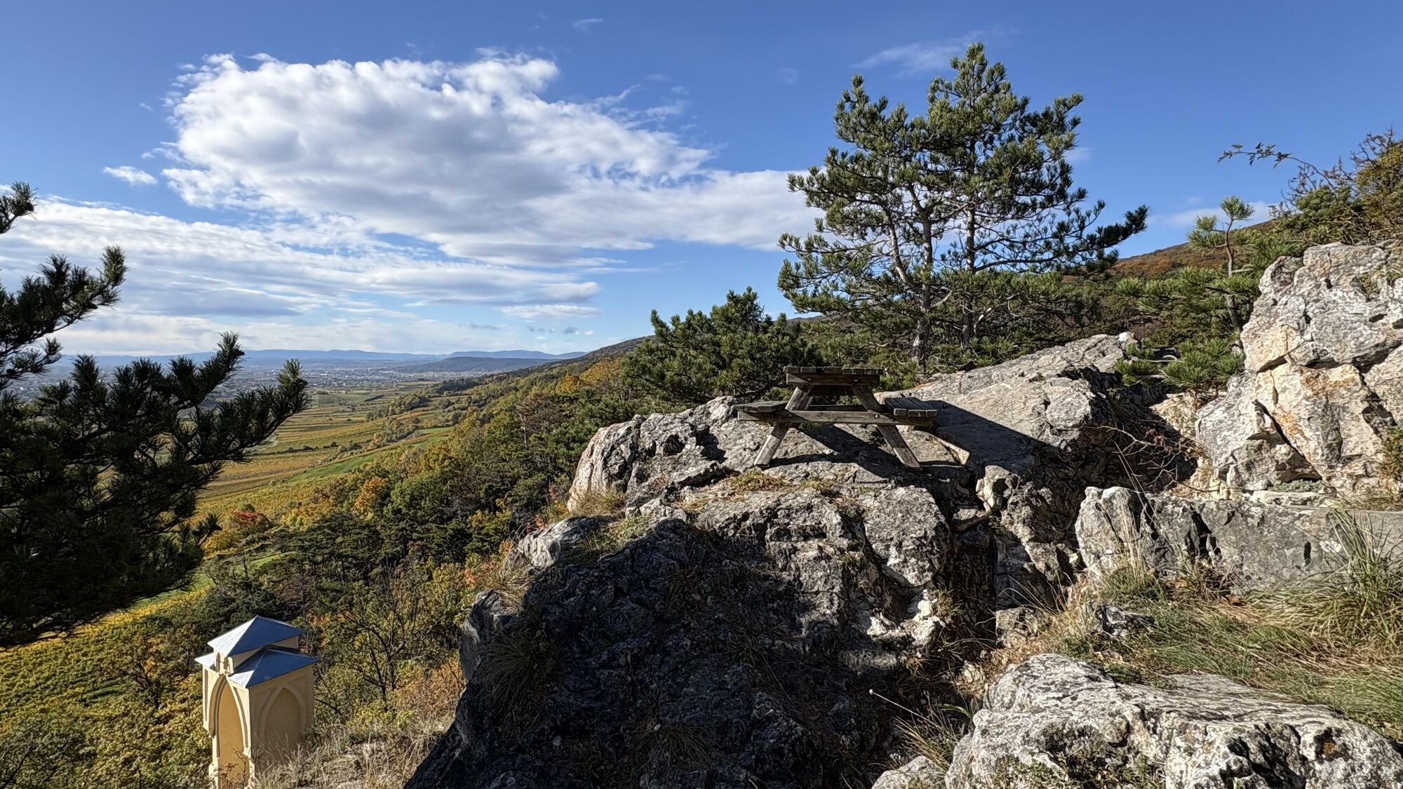
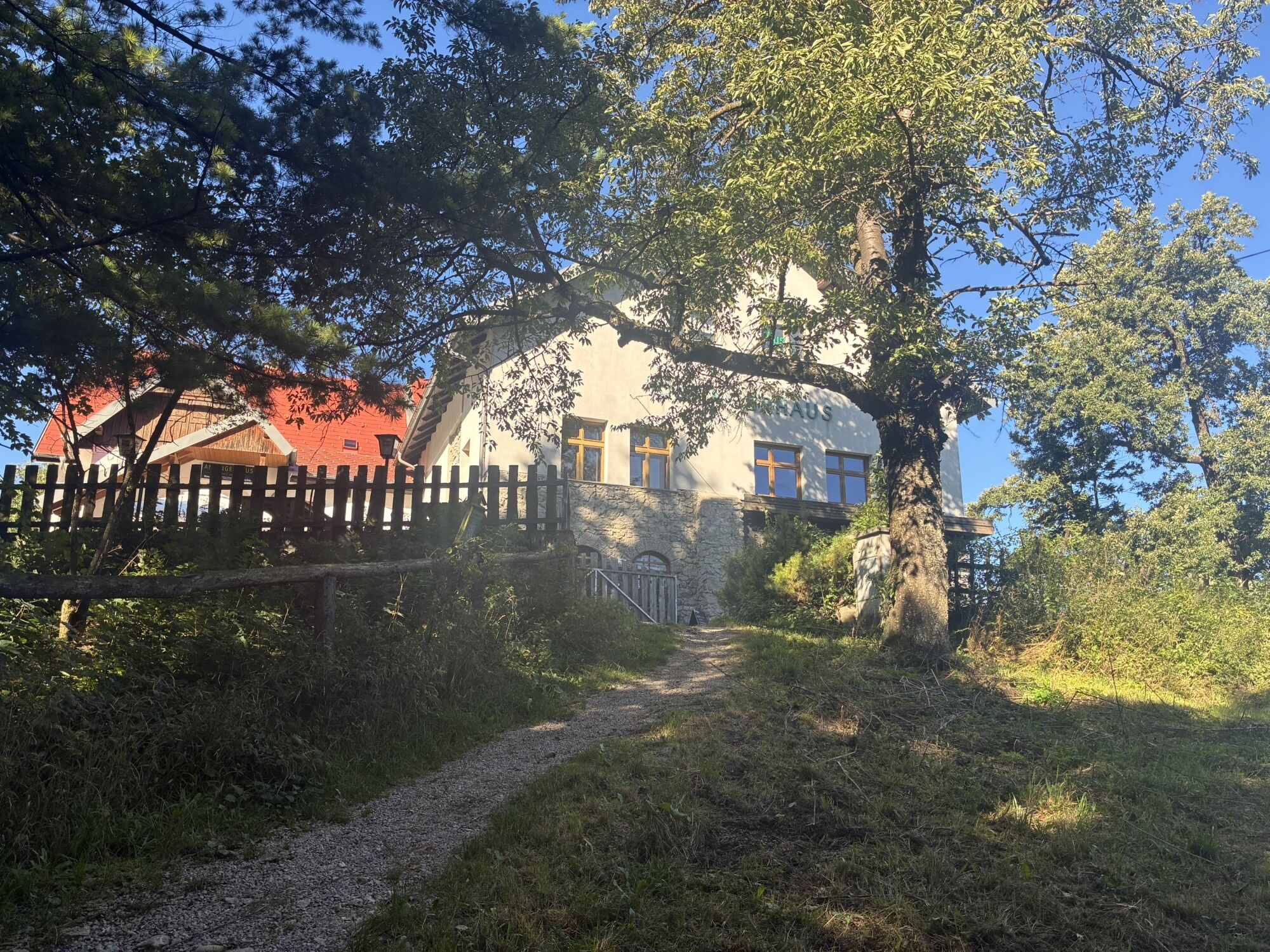
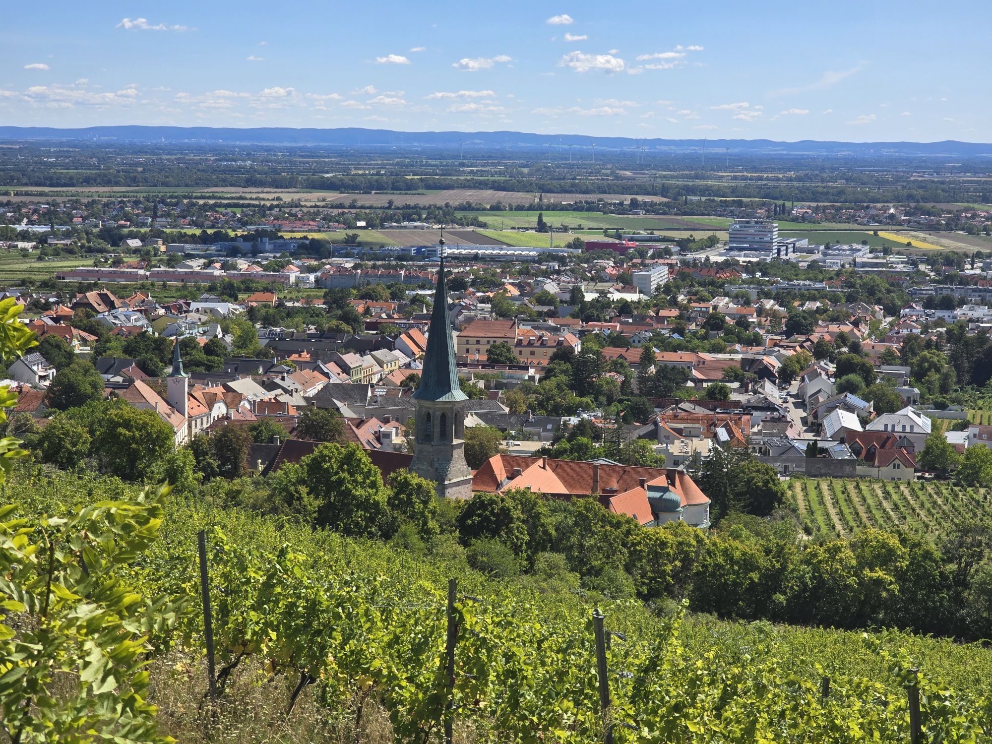
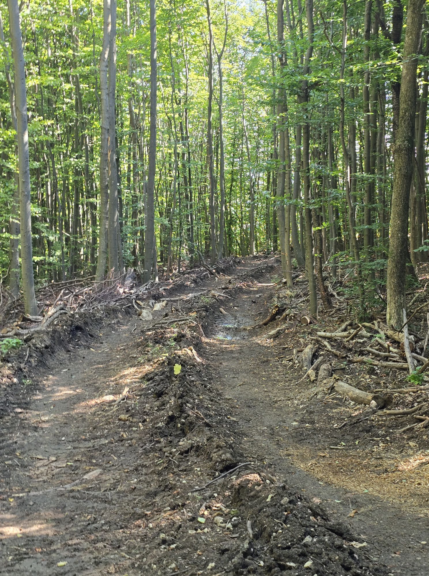
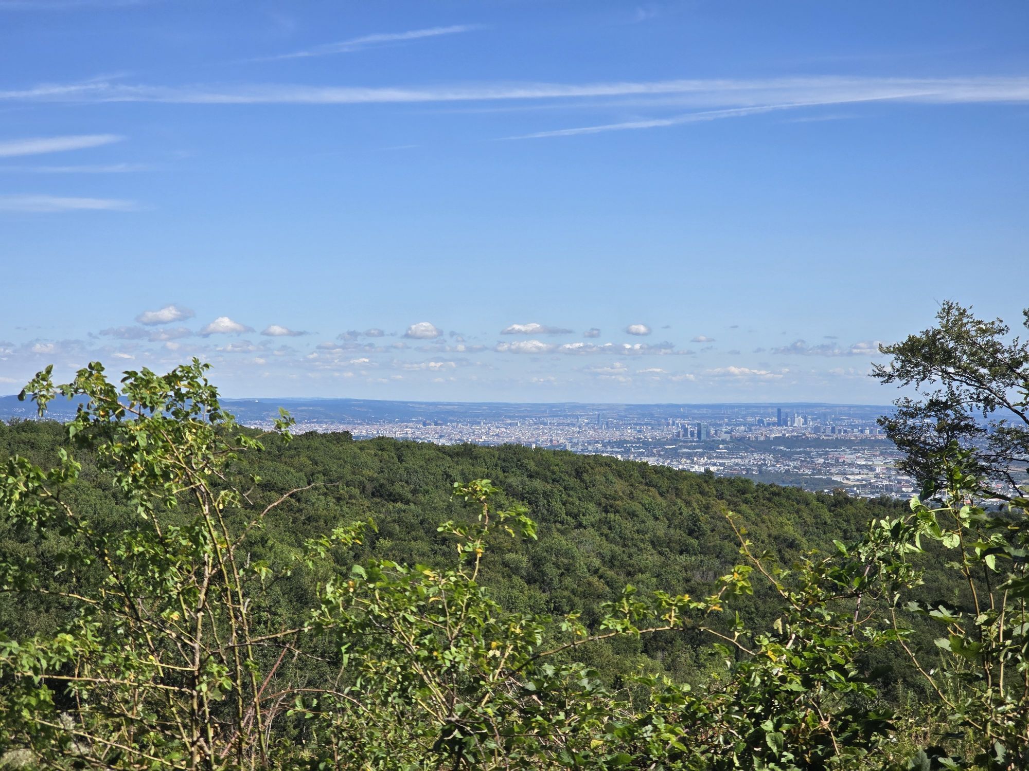
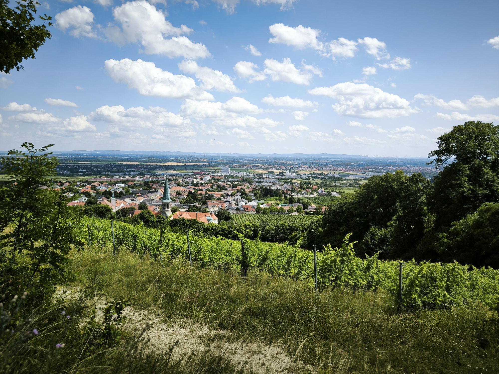
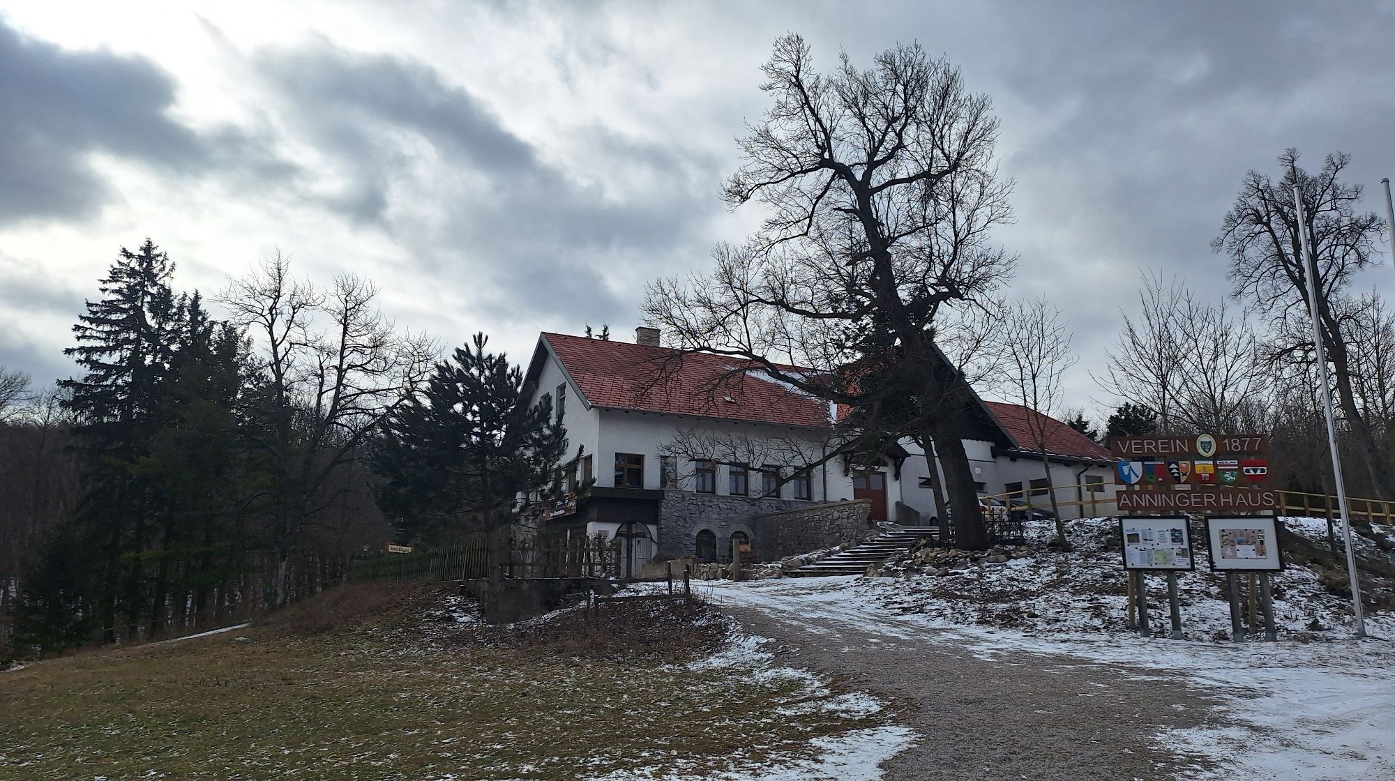
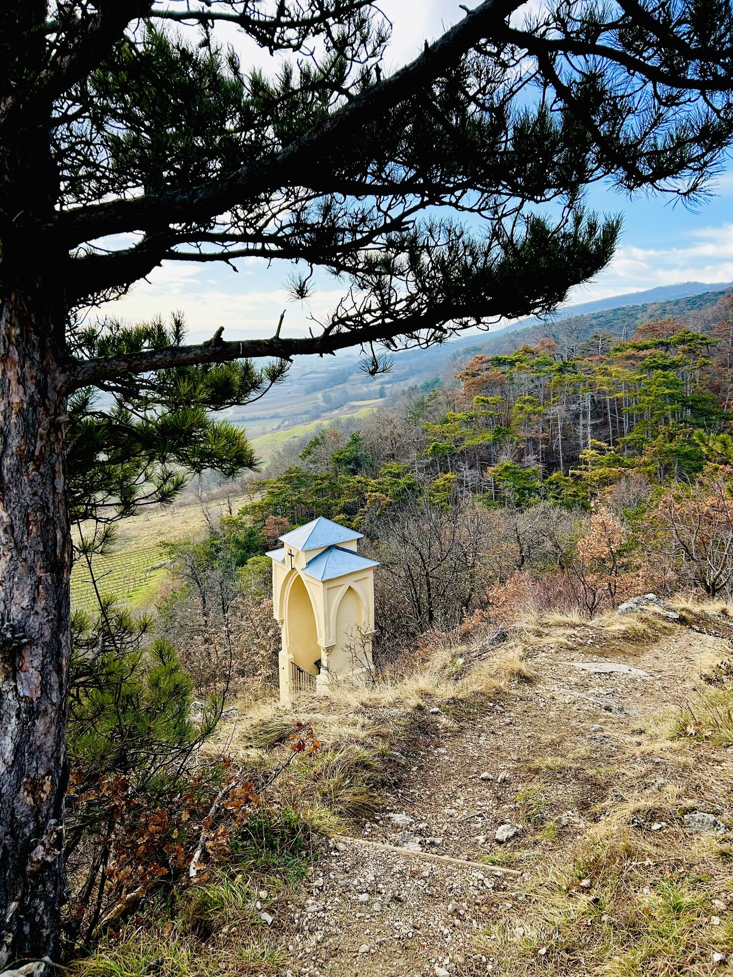
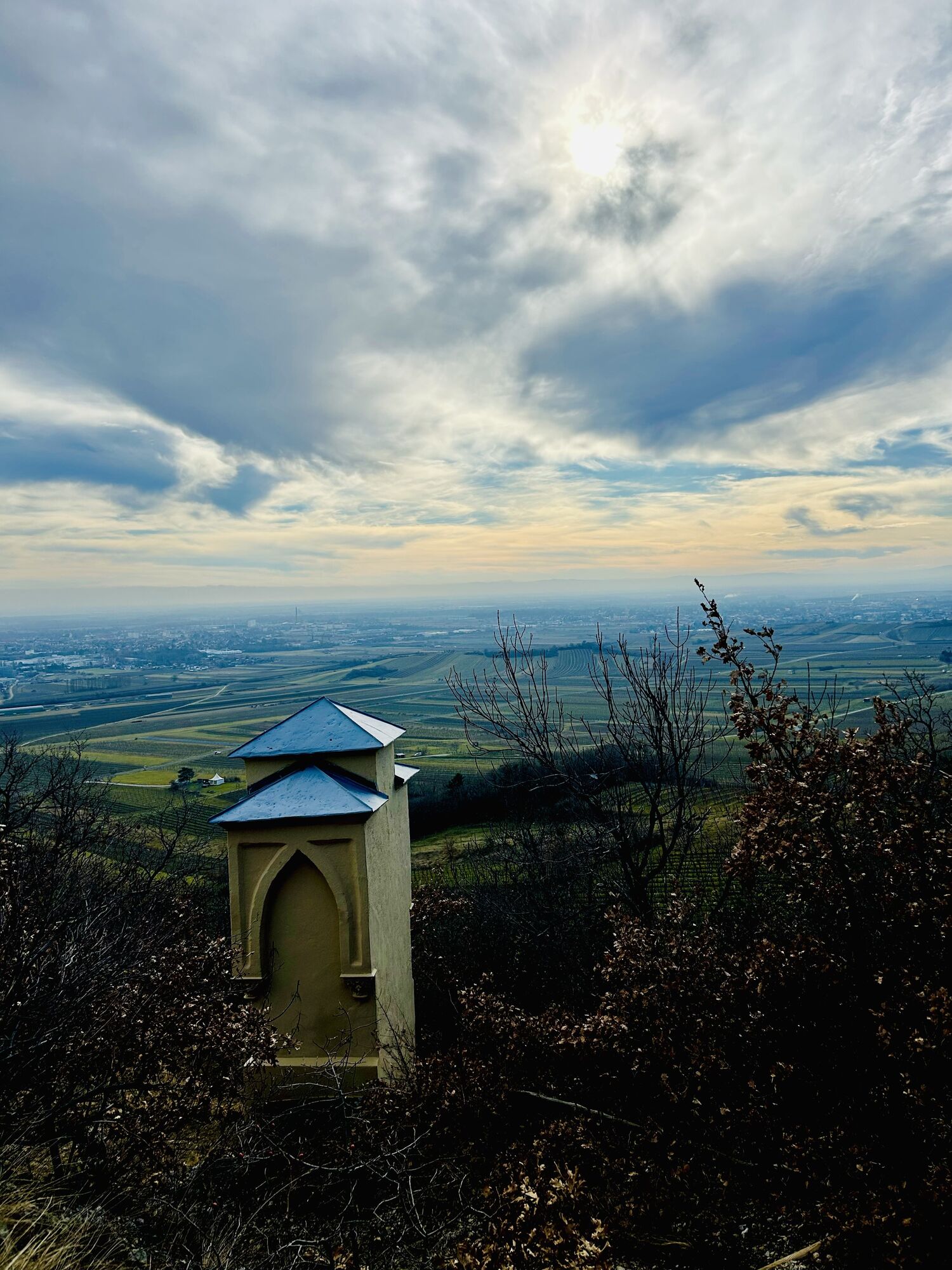
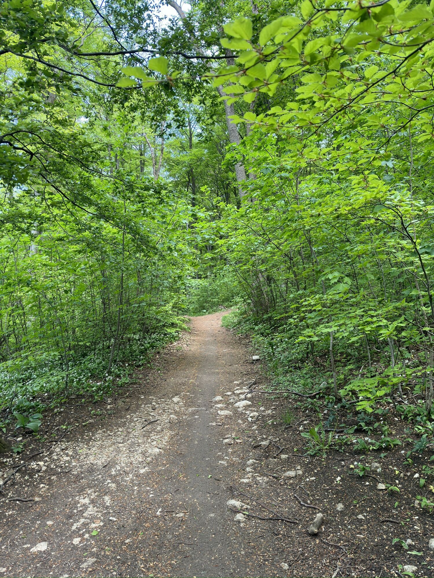
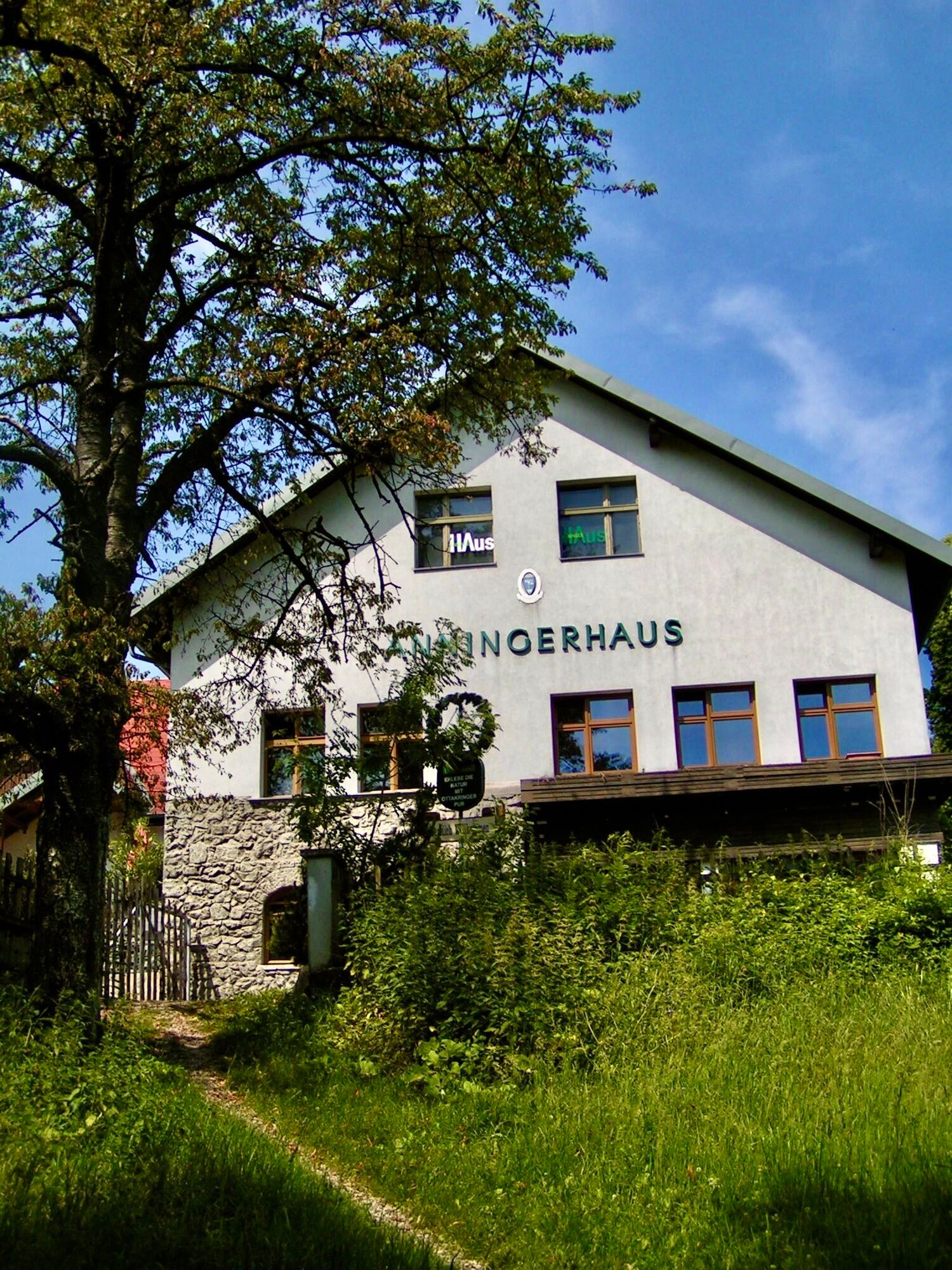
<p>From the station in Gumpoldskirchen we follow the Wiener Straße (NW), passing regional wineries, to Kirchengasse and reach the church St. Michael.</p><p>To the left we reach a wayside shrine via the Beethoven hiking trail (SW). Uphill (NW) we take the Stations of the Cross. At the paved hiking trail (white-red-white-green-white) we turn left uphill and follow the signposts towards Veiglhütte/Anninger (white-red-white).</p><p>At the summit we follow the signposts to Anninger Schutzhaus. After a short rest we walk part of the way back and straight ahead to the south (red-white-red), following the signposts towards Proksch-Hütte and then towards Wetterkreuz/Gumpoldskirchen (white-red-white-blue-white, green-blue).</p><p>At Wetterkreuz we keep left (SE) towards Gumpoldskirchen (red-white-red) and shortly afterwards reach a Marian plaque. We leave the plaque to our left and choose the path to the right into the forest. This now leads steeply downhill to a junction. On the left we reach the Veiglhütte and follow the Beethoven hiking trail back to Gumpoldskirchen.</p><p>We reach a tree marked white-yellow-white-red-white (right edge of the path) and follow a narrow path downhill to a paved road. In the vineyards we choose the first left turn towards St. Michael (wine hiking trail) and then follow Wiener Straße back to the station.</p>
<p>Sturdy footwear, water, rain protection</p>
<p>Despite the most careful research, there may be unforeseen short-, medium-, or even long-term closures on the routes (e.g., due to forestry restrictions by landowners). Parking options recommended by us may be private or subject to charges – please observe the signage on site. Some paths may partly or entirely lead through fee-based businesses/areas (e.g., nature parks or gorges). This is usually explicitly indicated in the description. All information is provided without guarantee and use of the paths is at your own risk. Any path closures as well as notices from hunting and landowners must be observed.</p>
<p>By train to the stop "Bahnhof Gumpoldskirchen"</p>
<p>P+R Bahnhof Gumpoldskirchen</p>
Wienerwald Tourismus GmbH
Hauptpaltz 11, 3002 Purkersdorf
Tel.: 02231/62176
E-mail: office@wienerwald.info
Website: www.wienerwald.info
Places to eat along the route
Weingut Grill RobterK´eck Katis CafeWeinbau ProislNostalgieheuriger3er HausWeinbau Straitz & StraitzAnninger SchutzhausGumpoldskirchner Veigl-HütteFollowing top heuriger are nearby
FassbinderhofHeuriger SpaetrotAltes ZechhausWeingut Hannes HoferWeingut Christian SchablUpdated on: 12/03/2020
Obľúbené výlety v okolí
-
4,8
Kalenderberg und Burg Liechtenstein
svetloTuristika 8,48 km -
4,8
Landschaftspark Liechtenstein - Angelos Touren
svetloTuristika 6,70 km -
4,6
Angelos Touren: vom Helenental auf den Hohen Lindkogel
strednáTuristika 11,4 km -
4,6
Stadtwanderweg 6 / Zugberg - Maurer Wald (lt. Beschilderung)
svetloTuristika 13,3 km -
4,6
Abend/Nachtwanderung Teufelstein
svetloTuristika 7,15 km -
4,6
Naturpark Sparbach
svetloTuristika 7,08 km -
4,5
AUGUSTINERHÜTTE Parkplatz bei B210 Hoher Lindkogel, Langes Tal 20221030
strednáTuristika 8,02 km -
4,4
Baden Helenental Krainerhütte Cholerakapelle RDW
strednáTuristika 10,1 km -
4,4
Anninger über Husarentempel auf die Wilhelmswarte
strednáTuristika 16,2 km -
4,8
Wienerwald: Vom Richardshof zum Husarentempel - Angelos Touren
svetloTuristika 10,6 km

Turistika a stopovanie


Nenechajte si ujsť ponuky a inšpiráciu na ďalšiu dovolenku
Vaša e-mailová adresa bol pridaný do poštového zoznamu.