







Höhenwanderweg Eichgraben Rekawinkel
This hike takes you on the trail of the railroad in the Vienna Woods. Right at the start, you pass under the 26.4 m high and 81 m long viaduct. Next to it, a steam locomotive, built by Karl Gölsdof, stirs...
This hike takes you on the trail of the railroad in the Vienna Woods. Right at the start, you pass under the 26.4 m high and 81 m long viaduct. Next to it, a steam locomotive, built by Karl Gölsdof, stirs up railroad romance. The "Kaiserin Elisabeth Westbahn" was completed in 1858 after just 26 months. Some of the canteens that fed the workers became hotels and restaurants. Heimito von Doderer described the journey through the Vienna Woods as follows: "That's it: left - right everything sinks, leaves us, we rise as if in an elevator, we are outside, above, above: the viaduct. Eichgraben. O green valley, soon the crowns fill up, the forests foam, the far edge of the hill." Our path leads us through precisely this landscape. We hike via Potzenstein and Sonnleiten to Rekawinkel. "Reckhenwinckel" was first mentioned in 1563. At that time, the area was uninhabited, but the road to Vienna passed through here. The eponymous Recken were highwaymen who made life difficult for travelers. According to other sources, the name refers to the local weather conditions. The Vienna Woods act as a weather divide: Alpine and Pannonian climates meet on the northern side of the Alps. Due to the upward curvature of the Alpine arc, weather conditions often accumulate here, leading to increased precipitation: "Rega angle". However, the region also owes its proverbial "good air" to this circumstance. The hilly terrain means that there is a constant exchange of air. To round off the tour, we recommend taking the Westbahn back, of course.


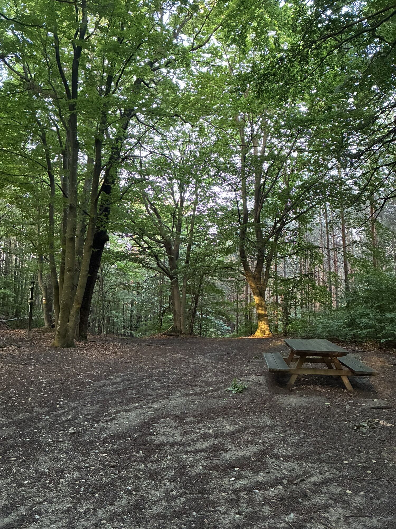
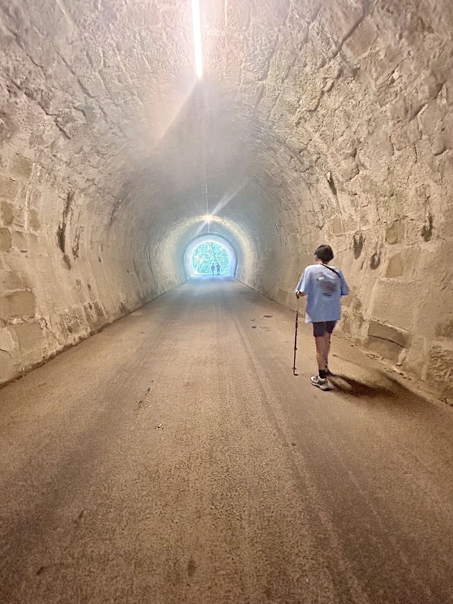
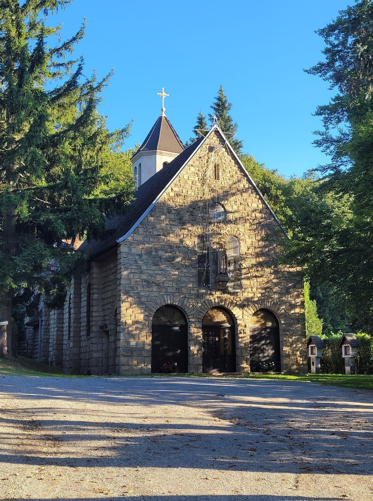
The tour starts at the Eichgraben train station. Head south on Bahnstraße and turn left immediately afterward onto Kirchenstraße. At the end of the street are the Wienerwalddom and the Herz-Jesu Chapel. Here, turn right, then walk along the main street and follow the yellow/green trail marker No. 7. At first, you’ll pass through a densely built-up area. The trail then passes under the railroad viaduct—where you can see a historic steam locomotive on display—followed by the inn “Das kleine Knödler” and the former inn “Zum Bärenwirt.” This is also where the red trail marker begins, which also leads to Hochstraß. After a few meters, turn left over a small bridge, following the yellow/green trail marker No. 7 into Schießstättenstraße. You’ll now walk uphill through a residential area, turn left onto Nagelbergstraße, and enter the forest near Potzenstein. First, walk along a ditch and then follow the yellow/green trail marker to the right uphill—so do not cross the ditch. You’ll then reach the actual high-altitude hiking trail; here, turn left and follow the trail marker toward Rekawinkel through relatively flat terrain. After about 1 km through the forest, you’ll reach Sonnleiten, a large meadow with a view stretching far across the countryside. Here, you’ll need to walk straight across the meadow, after which you’ll re-enter the forest. After about 600 meters downhill, the trail meets a gravel road; here, turn left and then pass under the Westbahn railway line. You’ll reach the Sonnleiten settlement, where you must turn right onto a beaten path, continuing to follow the yellow/green trail markers. In the forest, you’ll need to cross a stream twice and turn left before the tunnel. From here, the trail climbs steeply up the Zwickelberg. You’ll reach Bierbachstraße, which you’ll follow downhill for about 300 meters toward the north. After that, turn right over a small bridge into the forest. You’ll then walk about 1 km on relatively level ground along the right side of the Westbahn tracks. You’ll re-enter a built-up area at Rekawinkel and eventually reach Buchbergstraße, where you’ll turn left. You’ll now pass the Chapel of St. Theresia of the Child Jesus and walk a short distance to the end of the tour—the bus stop in Rekawinkel. Here, the Mayer Inn invites you to stop for a break. You can return to the starting point either by train via the nearby Rekawinkel station or on foot along the B44.
Standard Hiking Gear
A1 Highway, Pressbaum exit; take the B44 toward St. Pölten/Neulengbach; at the roundabout at the town entrance, turn left onto “Hauptstraße,” then turn right onto “Bahnstraße”
Or
A1 highway, Altlengbach exit; take the B19 toward Hainfeld, turn toward Altlengbach (town road), drive through Altlengbach, through Steinhäusl, through Eichgraben, then turn left onto “Bahnstraße”
Park & Ride facility at the Eichgraben-Altlengbach train station
Vienna Woods Tourism
3002, Purkersdorf, Hauptplatz 11
Phone: 02231/621 76
Fax 02231/655 10
Elsbeere-Wienerwald Region
3040 Neulengbach, Kirchenplatz 82
Tel. 02772/524 84
Market Town of Eichgraben
3032 Eichgraben, Rathausplatz 1
Tel. 02773/46231
Fax 02772/46231 20
info@eichgraben.at
www.eichgraben.at
Získajte prehľad
Vždy naživo na mieste s viac ako 9 500 webovými kamerami. bergfex Ako používateľ Pro si teraz môžete pozrieť príslušné webové kamery pre mnohé zájazdy v aplikácii zájazdy z. Môžete si tak priamo prezerať aktuálne podmienky.
Obľúbené výlety v okolí
-
4,7
Schöpfl
svetloTuristika 9,52 km -
4,6
Panorama hike Hafnerberg
svetloTuristika 8,78 km -
4,6
Rundwanderung Gablitz Gemeindeamt - Troppberg - Rabenstein - Gablitz Gemeindeamt
svetloTuristika 12 km -
4,0
Schöpfl von Sankt Corona
strednáTuristika 10,1 km -
4,5
von Purkersdorf zur Rudolfshöhe
svetloTuristika 4,72 km -
4,6
"Tut Gut!" Wanderweg Purkersdorf-Gablitz_Route 1
Turistika 7,33 km -
4,6
Tut Gut Wanderweg Pressbaum 3
strednáTuristika 12,5 km -
4,2
INNERMANZING Schoderleh Falkensteiner Htt. Hasenriegel Forsthof Edhof ret. 20230114
svetloTuristika 13,1 km -
4,9
3-Kirchen-Rundwanderweg
Turistika 10,2 km -
4,7
Schöpfl von Kammhöhe aus
svetloTuristika 13,2 km
Turistika a stopovanie


Nenechajte si ujsť ponuky a inšpiráciu na ďalšiu dovolenku
Vaša e-mailová adresa bol pridaný do poštového zoznamu.





