


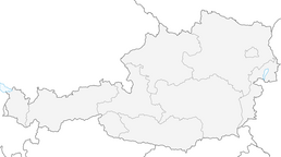


Vöslauerhütte Variante 1

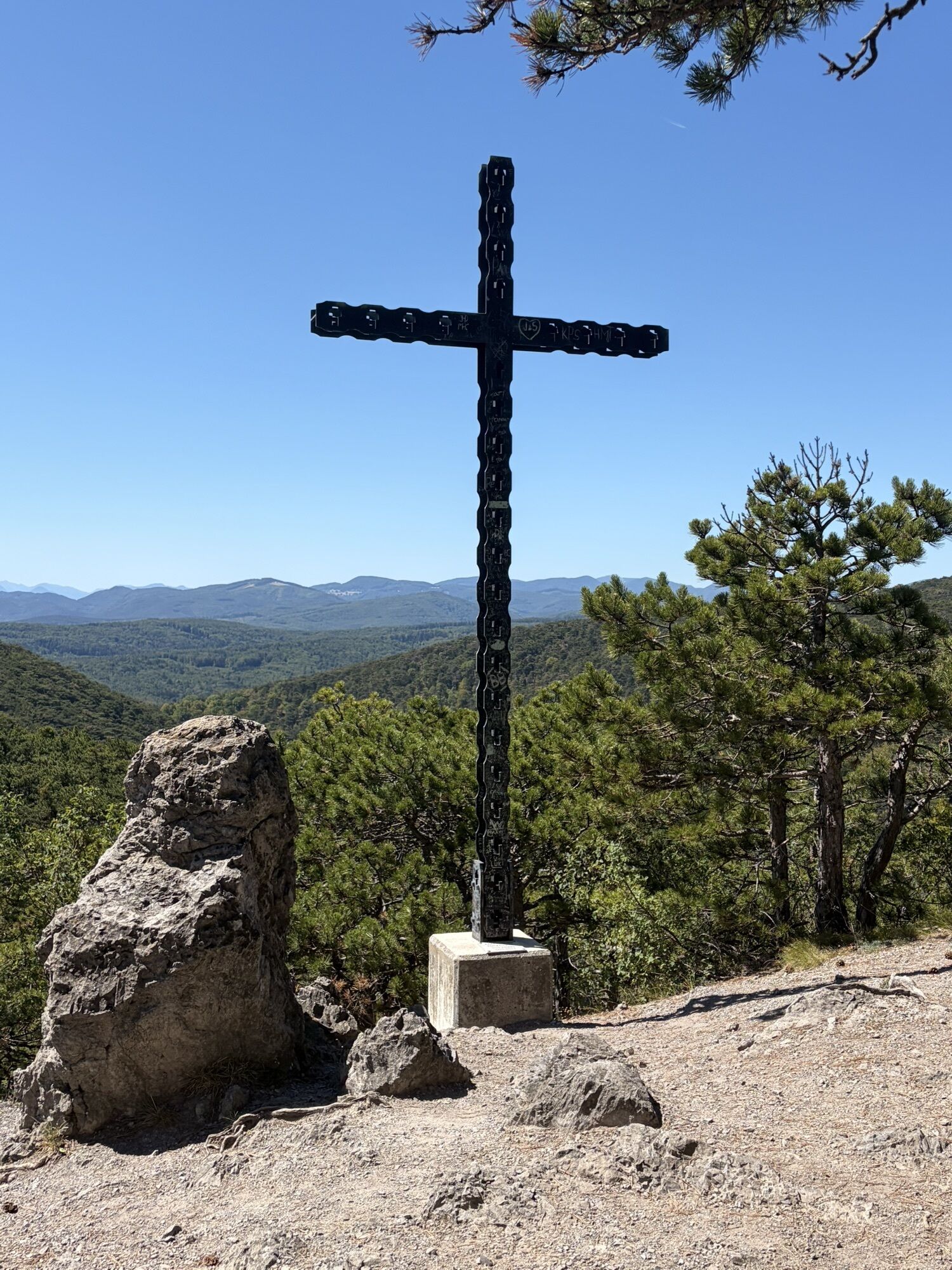
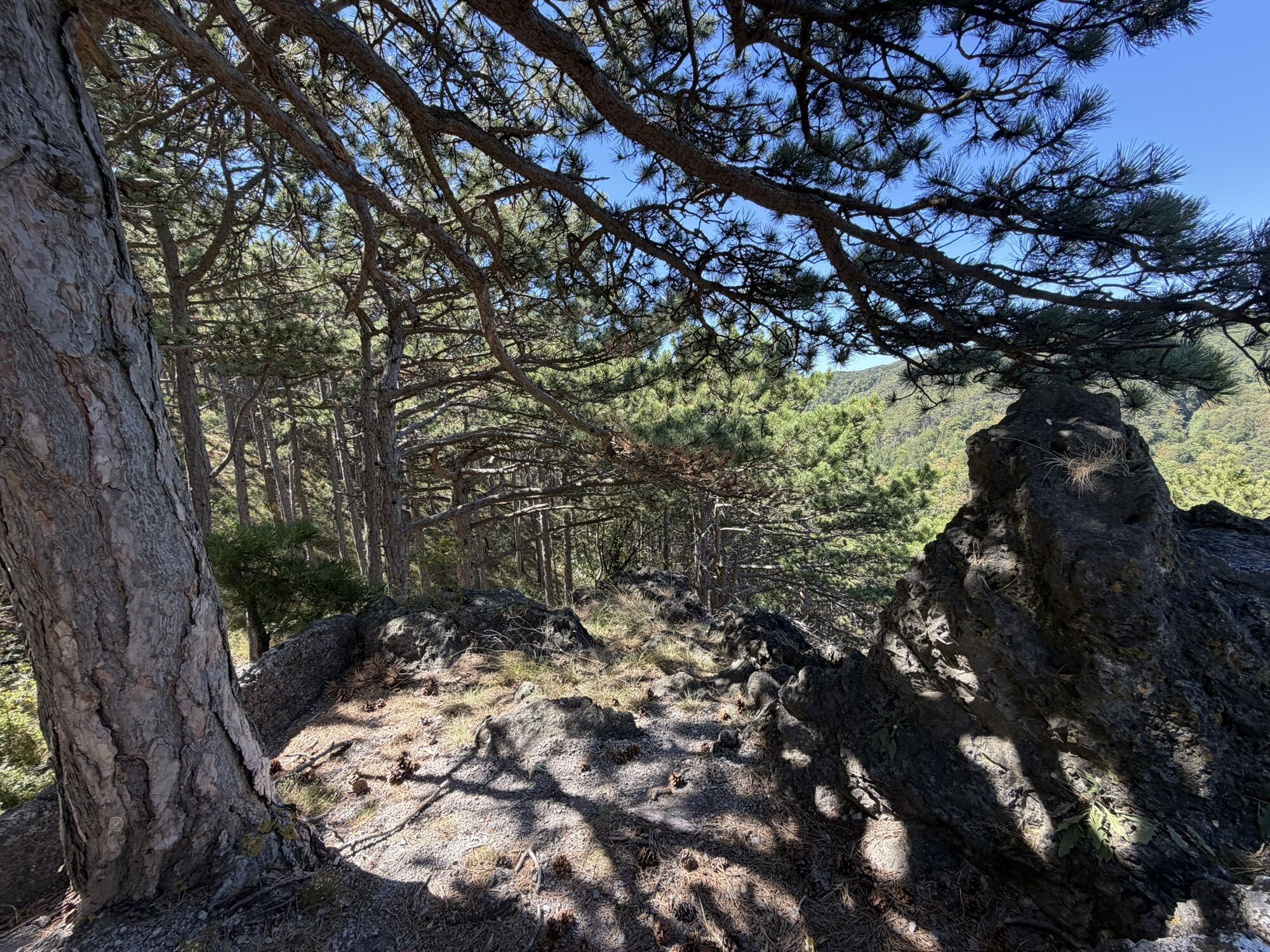
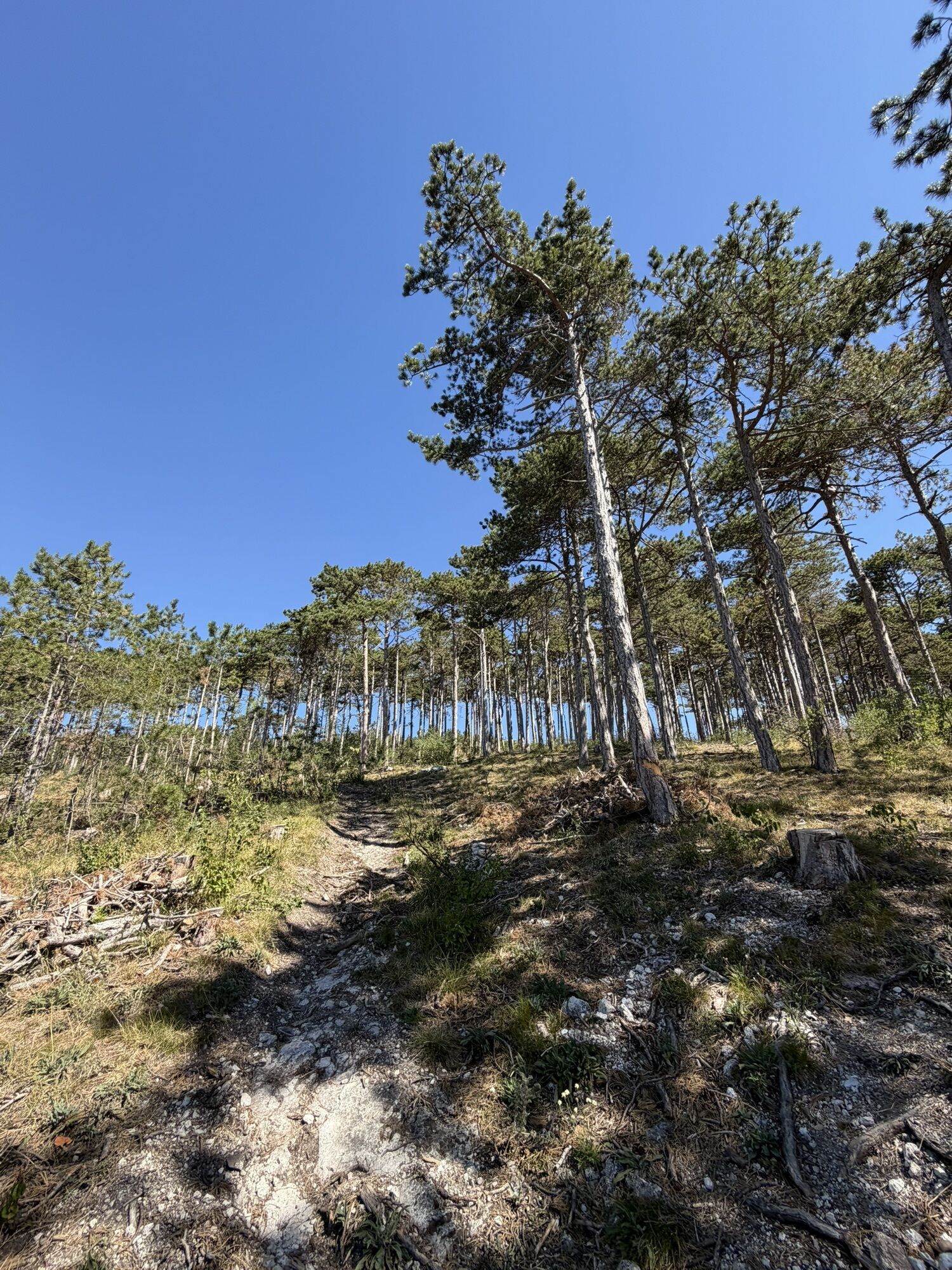
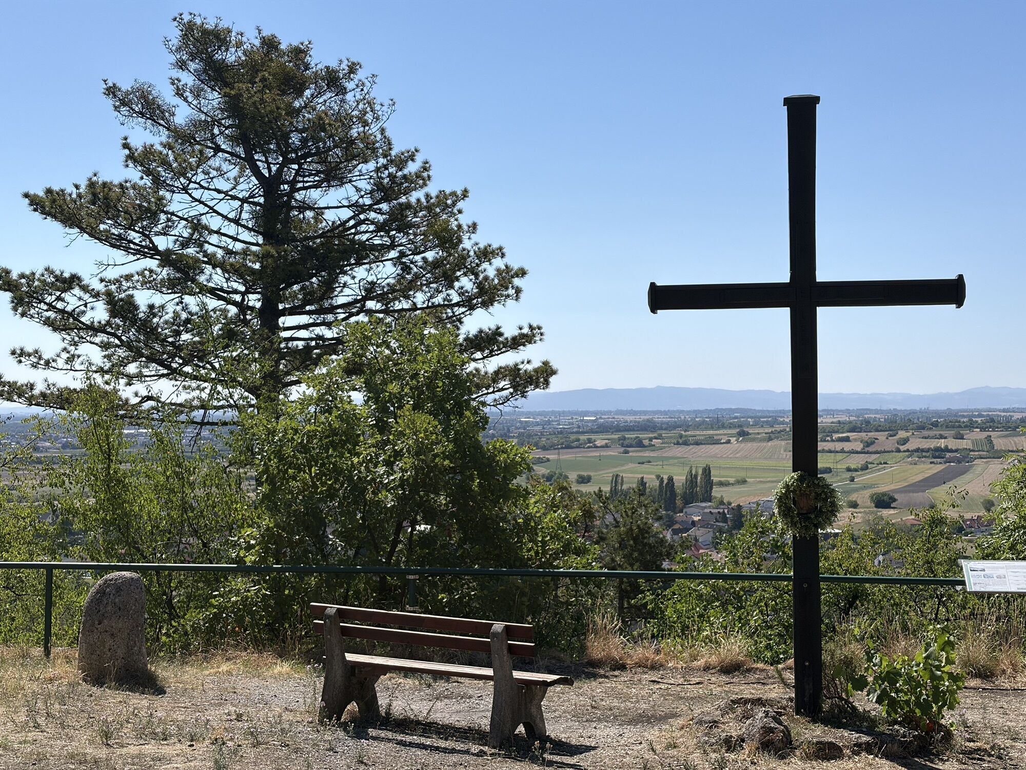
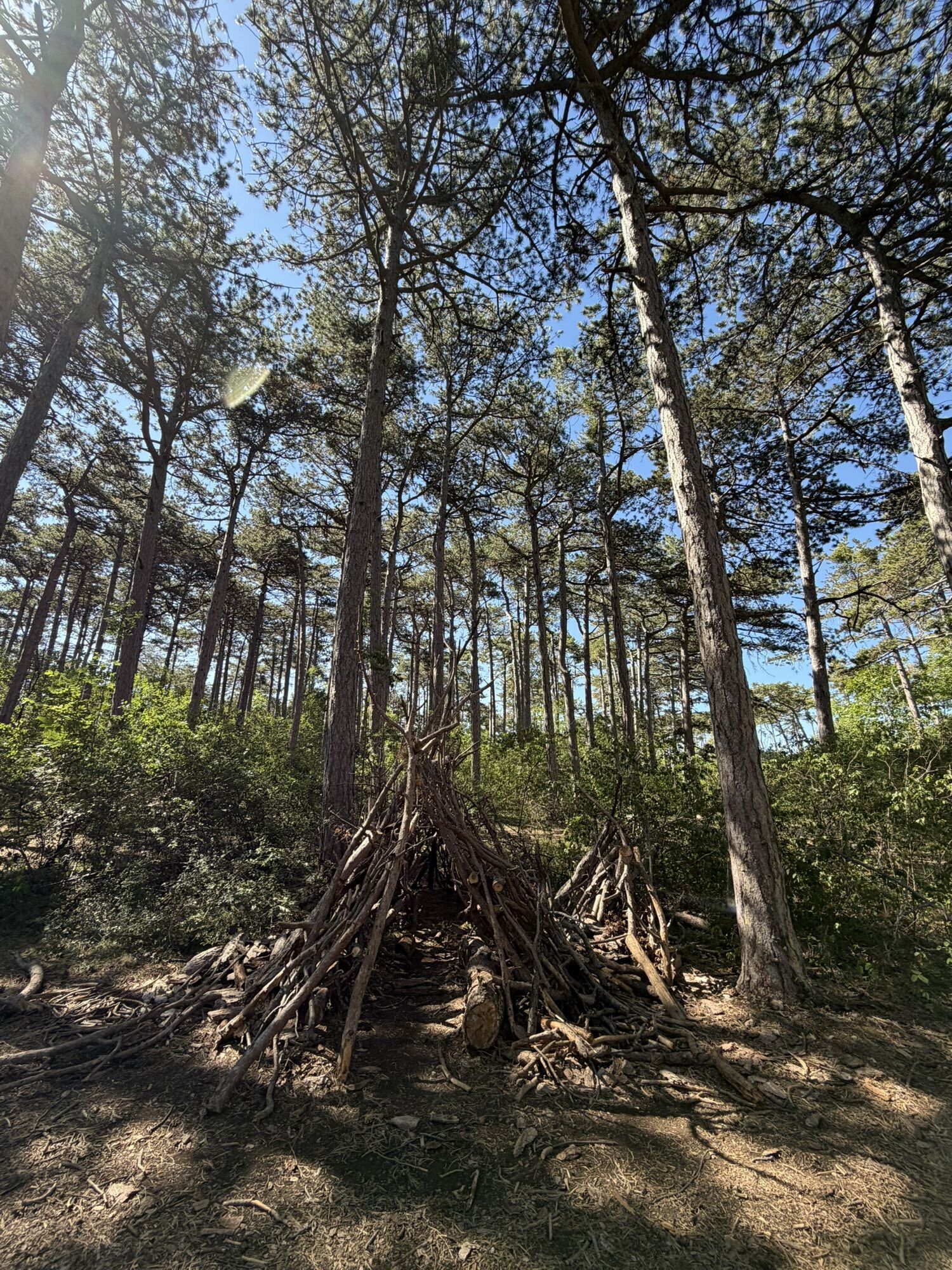
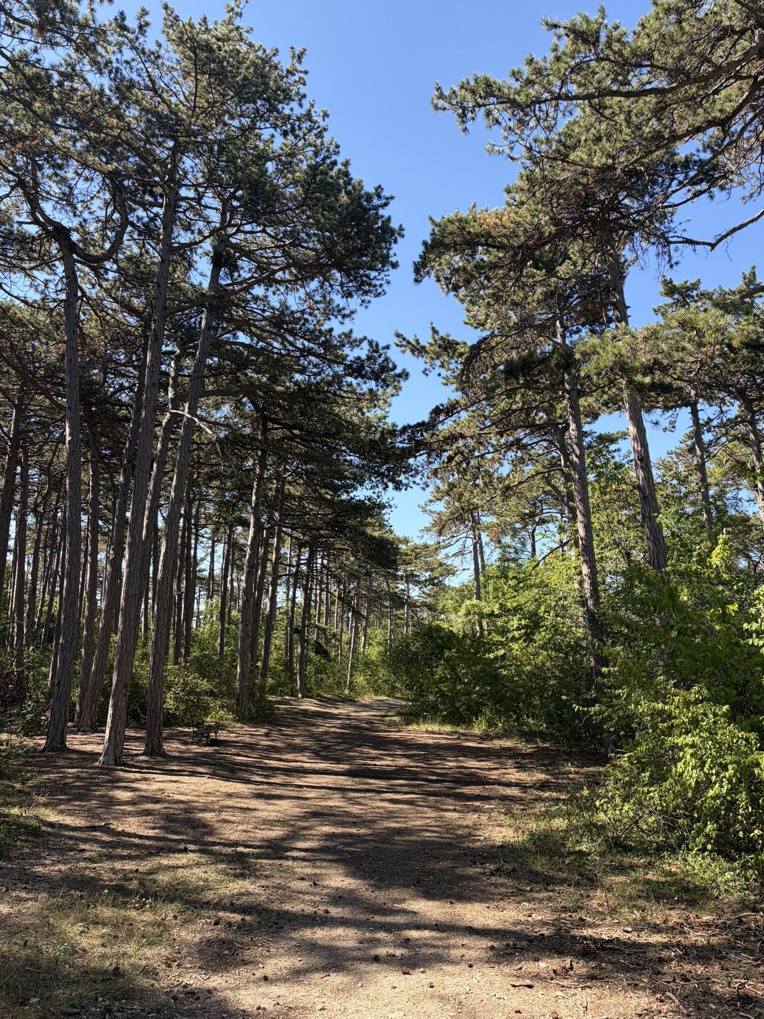


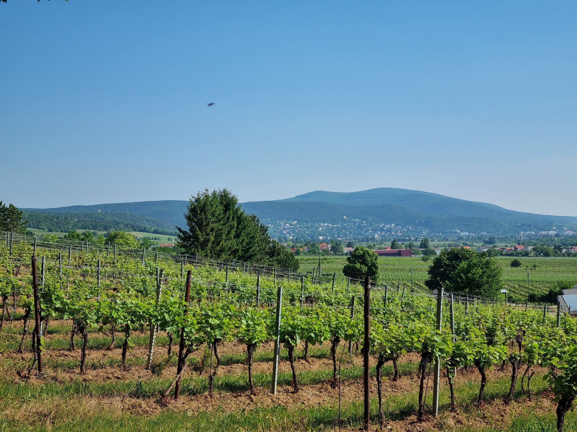
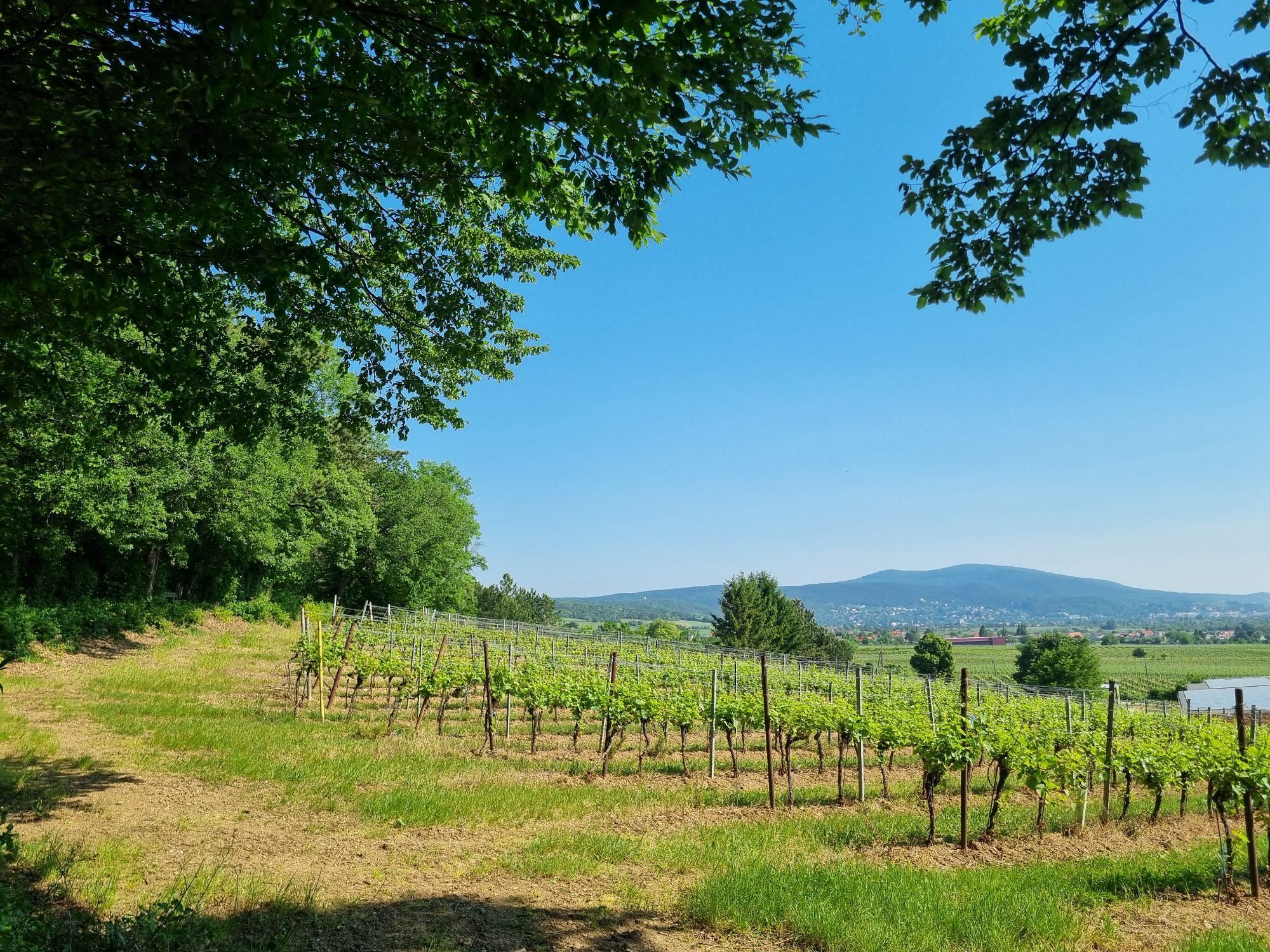


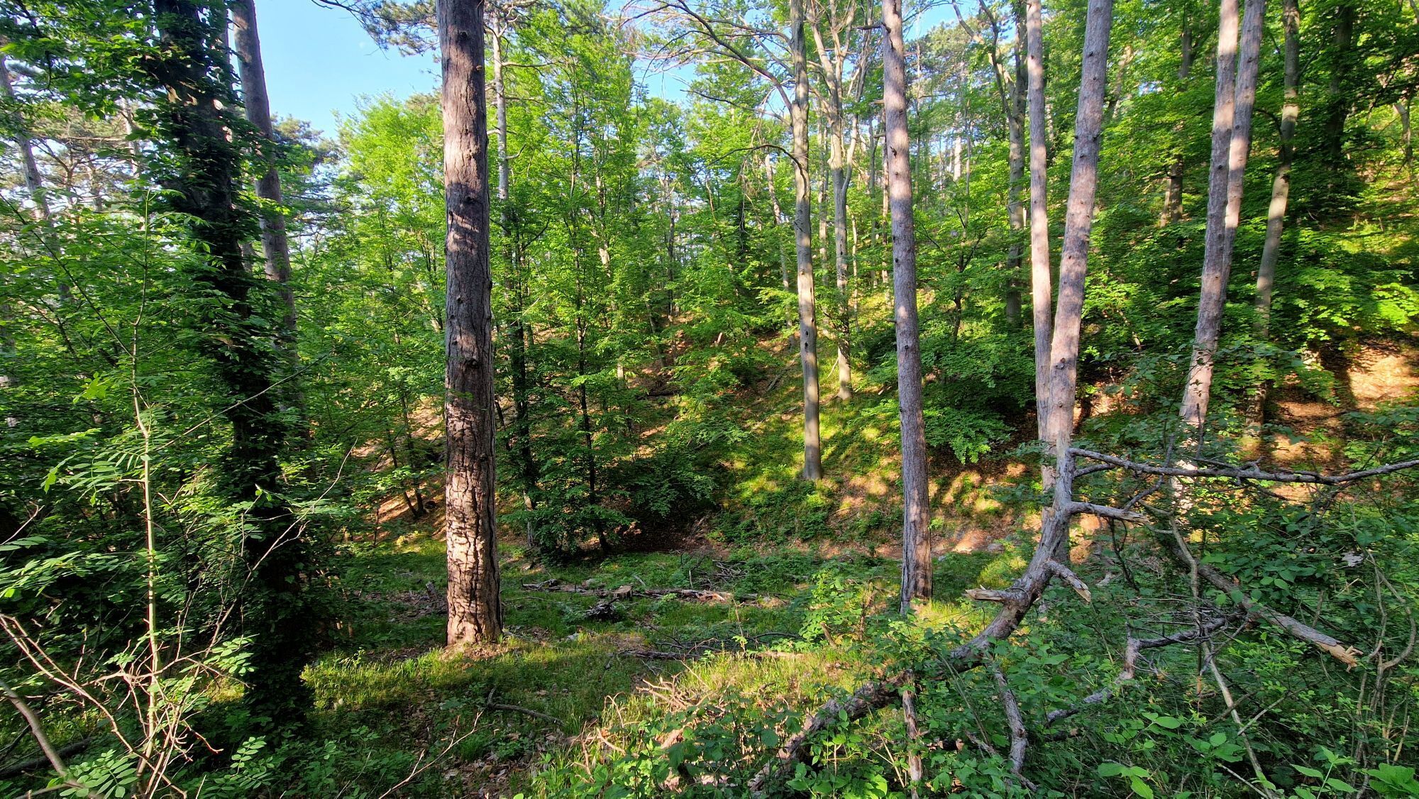


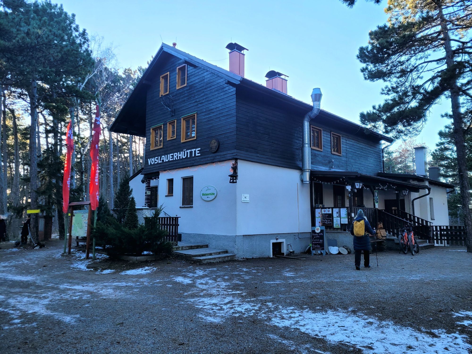
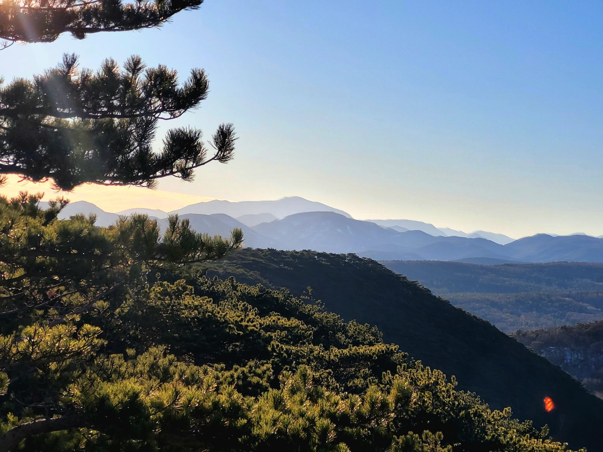
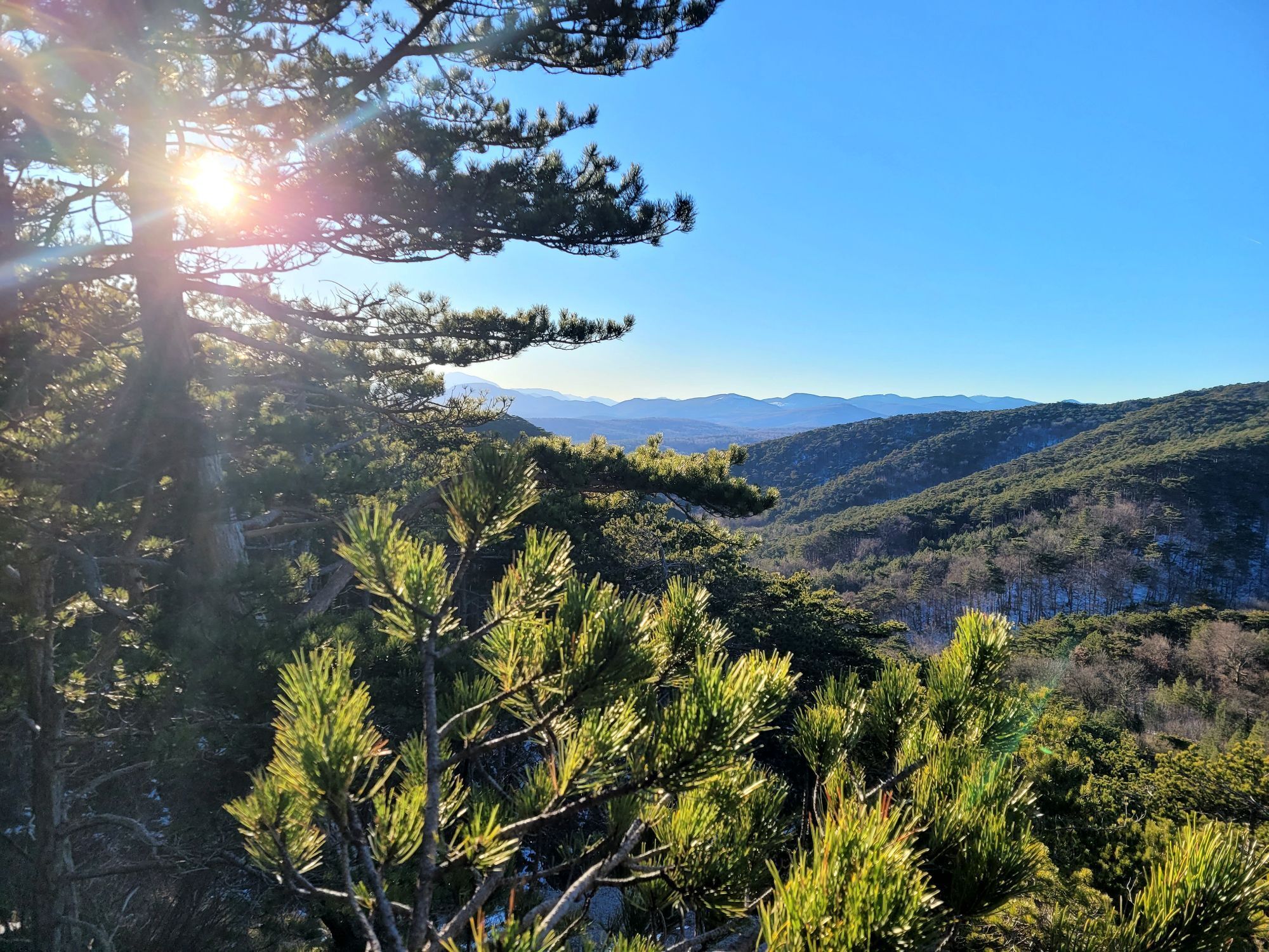



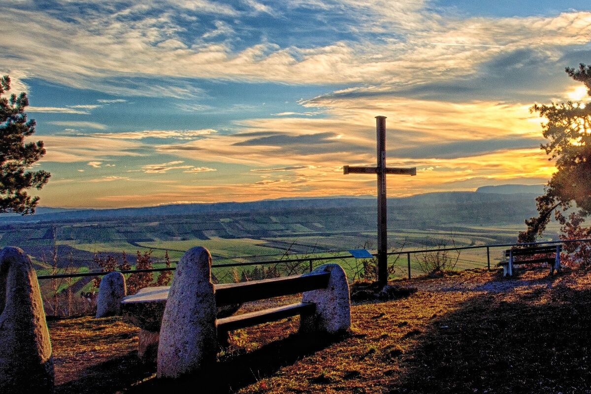

The starting point is the parking lot at the end of Lange Gasse. From there, the hike leads over the Helenehöhe—offering a beautiful view of “Gainfarner Bucht”—to the Nebellöcher and the Stone Cross. From there, continue on to the Vöslauer Hut. The return route goes through the Gradental valley, past the Pecherhütte to the Waldandacht. From there, it follows the edge of the forest through the Kurpark back to the starting point.
Travel Information: Please check the directions to the meeting point in advance and allow plenty of time. Be aware of possible traffic delays, road construction, or public transportation disruptions.
Parking Information: Please follow local parking regulations and check for any parking fees or time restrictions. We recommend checking the parking situation in advance to ensure a stress-free arrival.
More Info / Links
Bad Vöslau Tourist Information
Schloßplatz 1, 2540 Bad Vöslau
Tel.: +43 (0)2252 - 76161- 46, +43 (0)2252 - 70743, Fax: +43 (0)2252 - 77190
Email:
https://www.badvoeslau-tourismus.at
Places to eat:
Vöslauer Hütte - 02252/71322

Obľúbené výlety v okolí
-
4,5
Erlebnisweg Peilstein...auf den Spuren der Kletterer
strednáTematická trasa 6 km -
4,8
Kalenderberg und Burg Liechtenstein
svetloTuristika 8,48 km -
4,7
Naturpark Sparbach
svetloTuristika 7,08 km -
4,6
Angelos Touren: vom Helenental auf den Hohen Lindkogel
strednáTuristika 11,4 km -
4,7
AUGUSTINERHÜTTE Parkplatz bei B210 Hoher Lindkogel, Langes Tal 20221030
strednáTuristika 8,02 km -
4,6
Landschaftspark Liechtenstein - Angelos Touren
svetloTuristika 6,70 km -
4,6
Wienerwald: Maria Raisenmarkt - Peilstein
svetloZimná turistika 6,82 km -
4,6
Panorama hike Hafnerberg
svetloTuristika 8,78 km -
4,6
Von Furth an der Triesting auf das Hocheck, zurück über Eberbach
strednáTuristika 14,3 km -
4,6
Gumpoldskirchen Anninger Pfaffstättner Kogel retour 20190419
svetloTuristika 13,8 km
Turistika a stopovanie


Nenechajte si ujsť ponuky a inšpiráciu na ďalšiu dovolenku
Vaša e-mailová adresa bol pridaný do poštového zoznamu.


