







The trail along the Lainsitz
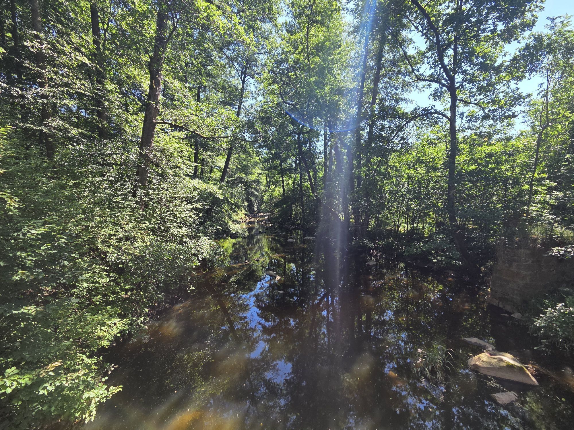
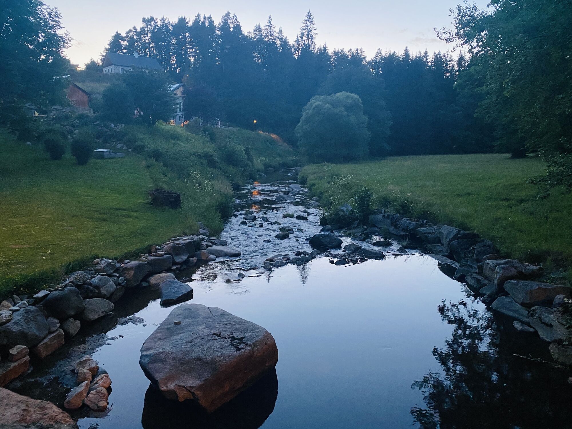
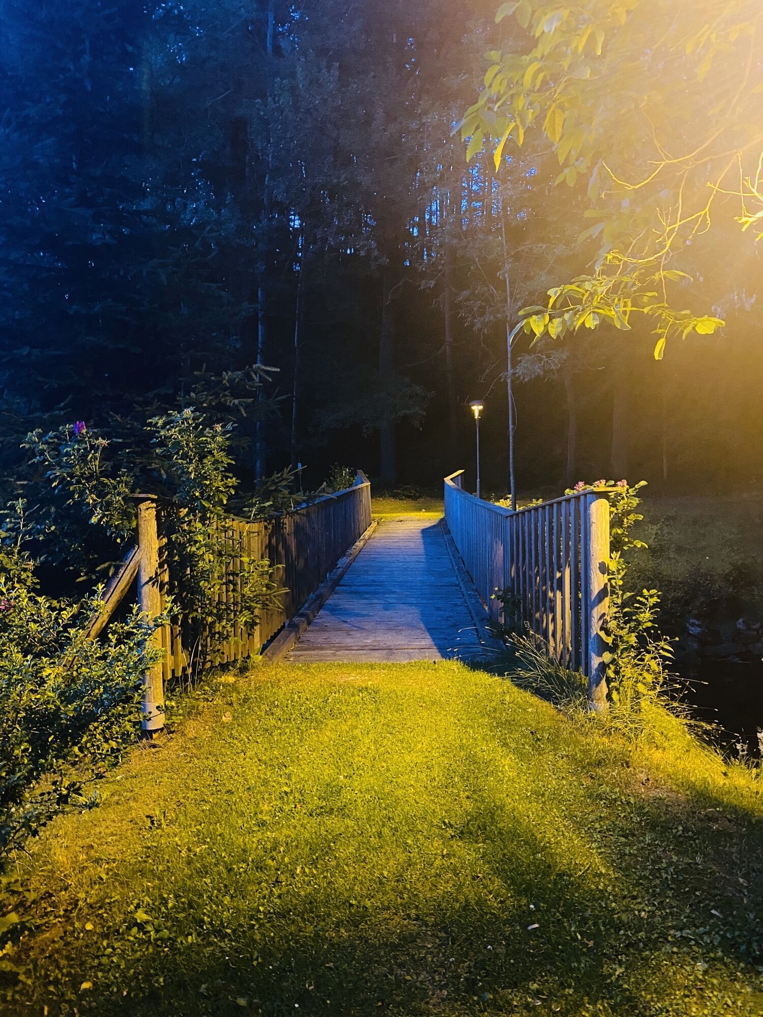
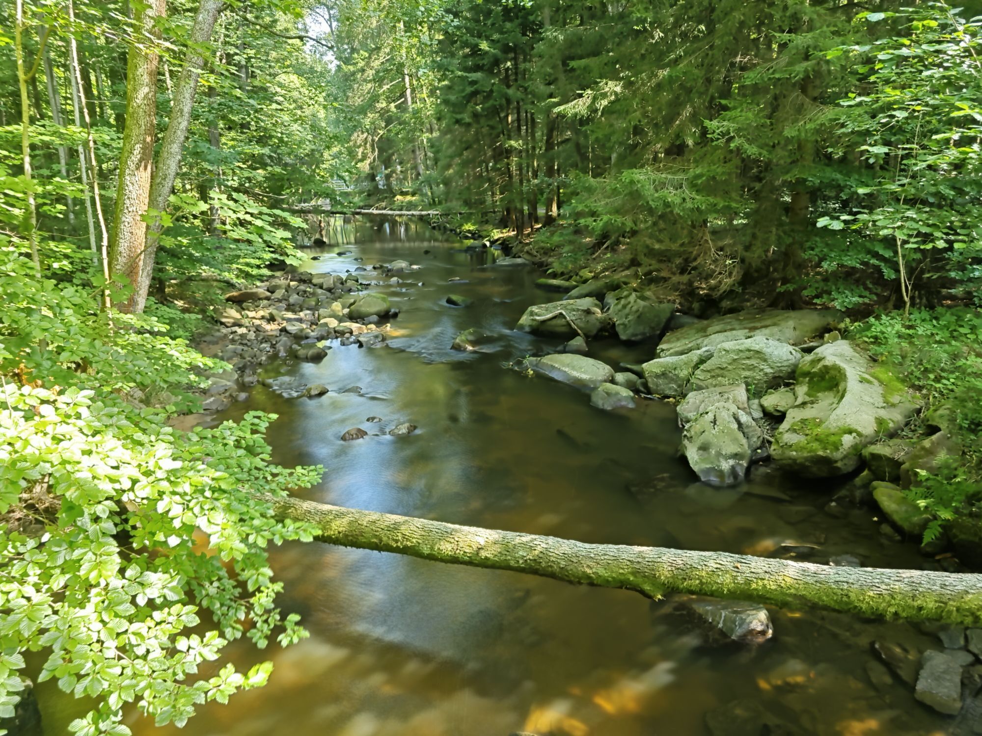
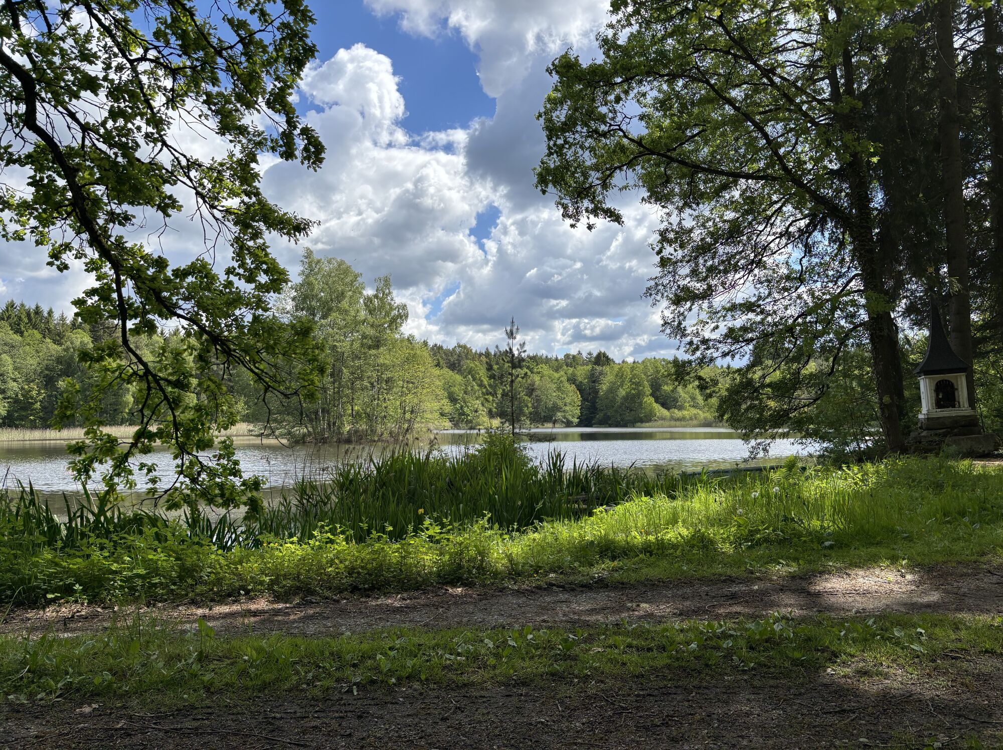
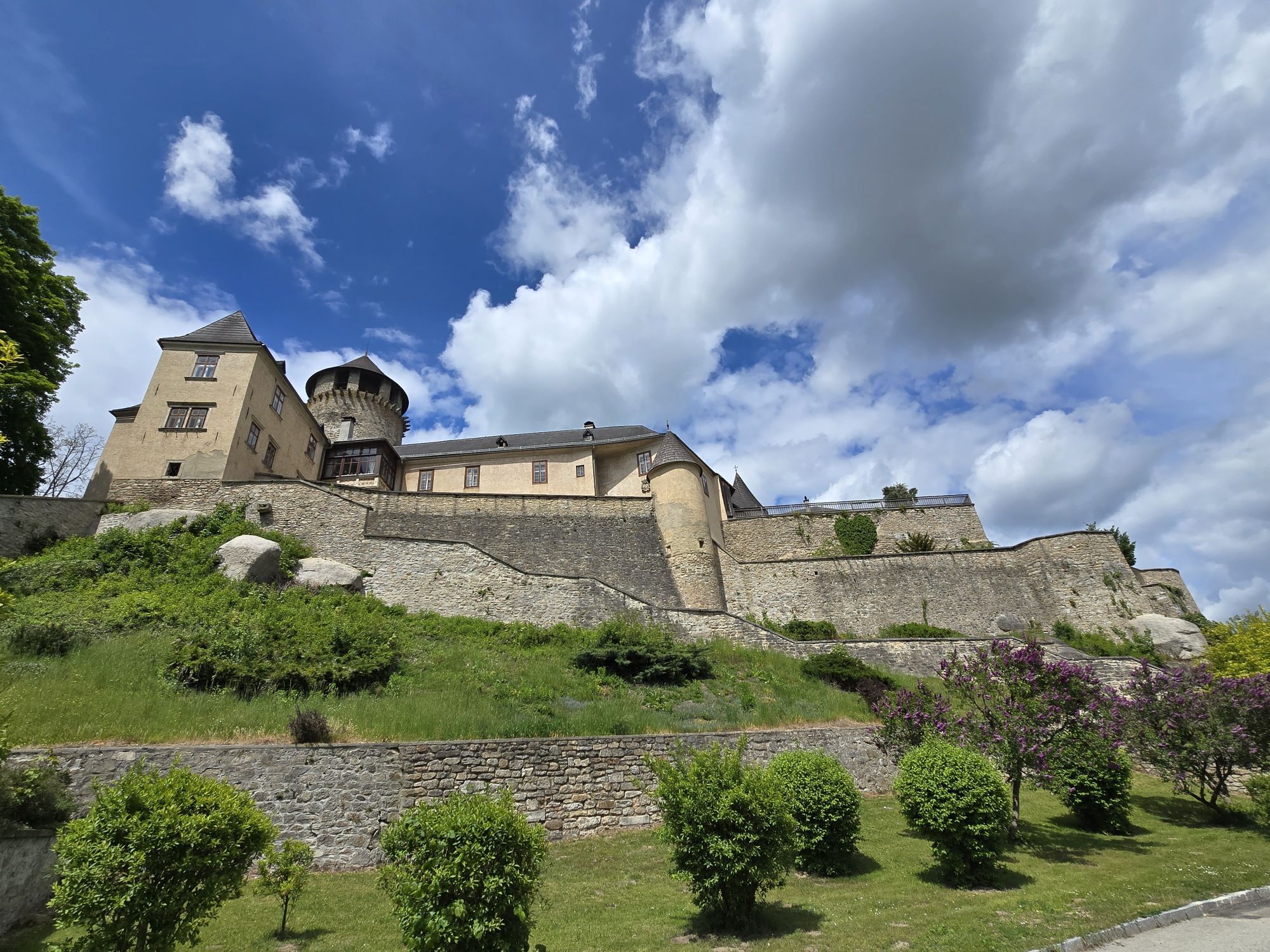
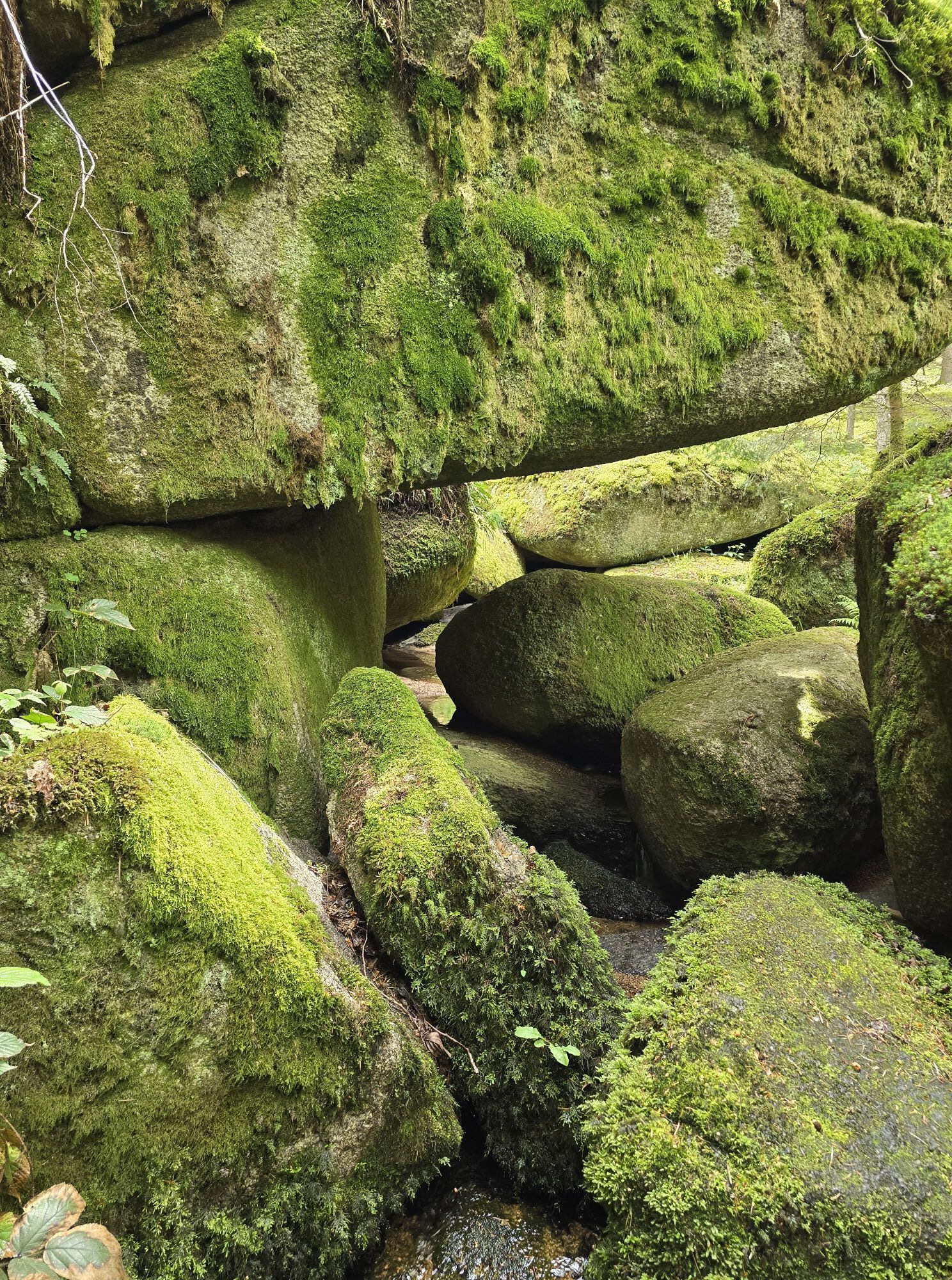
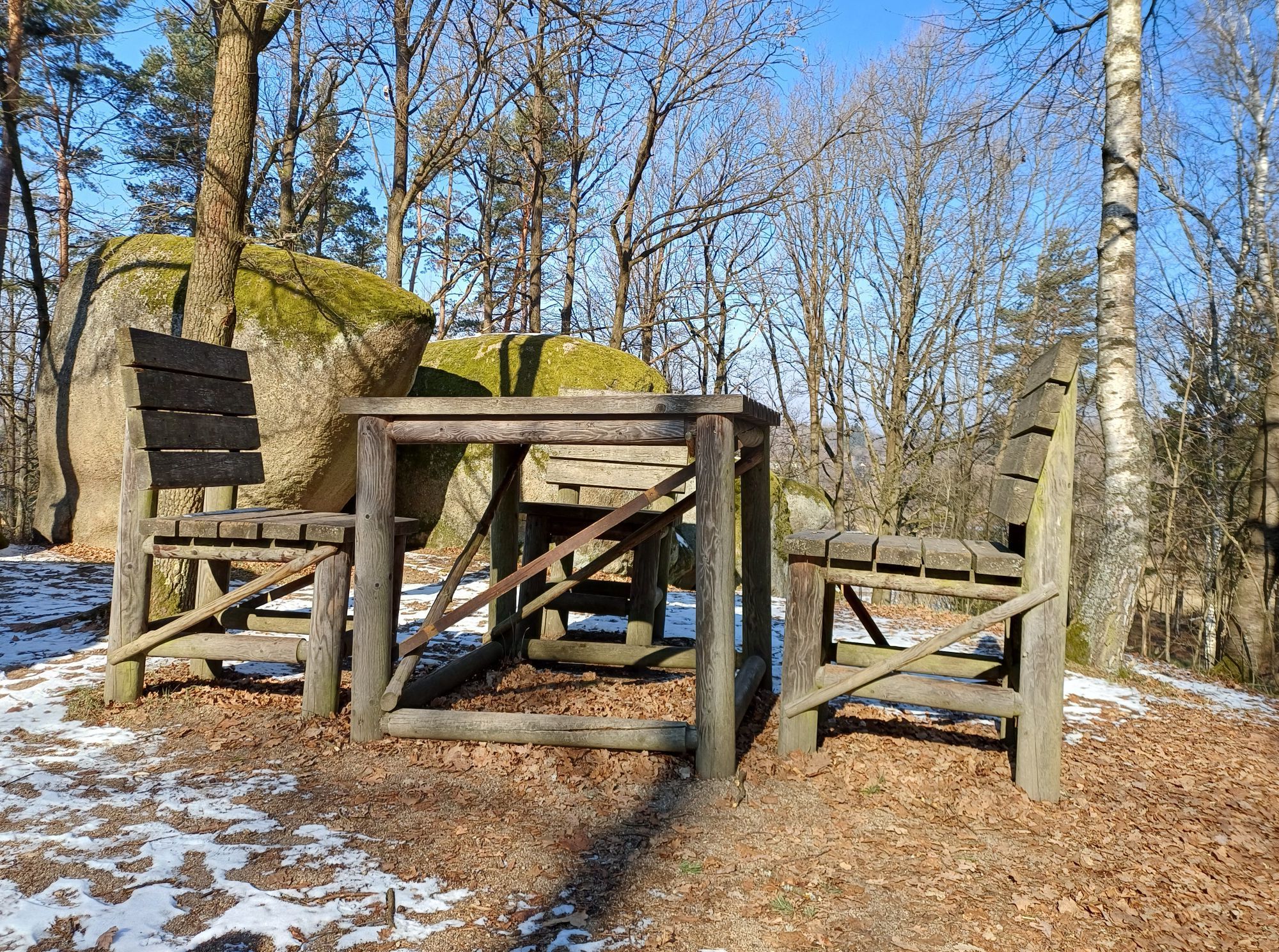
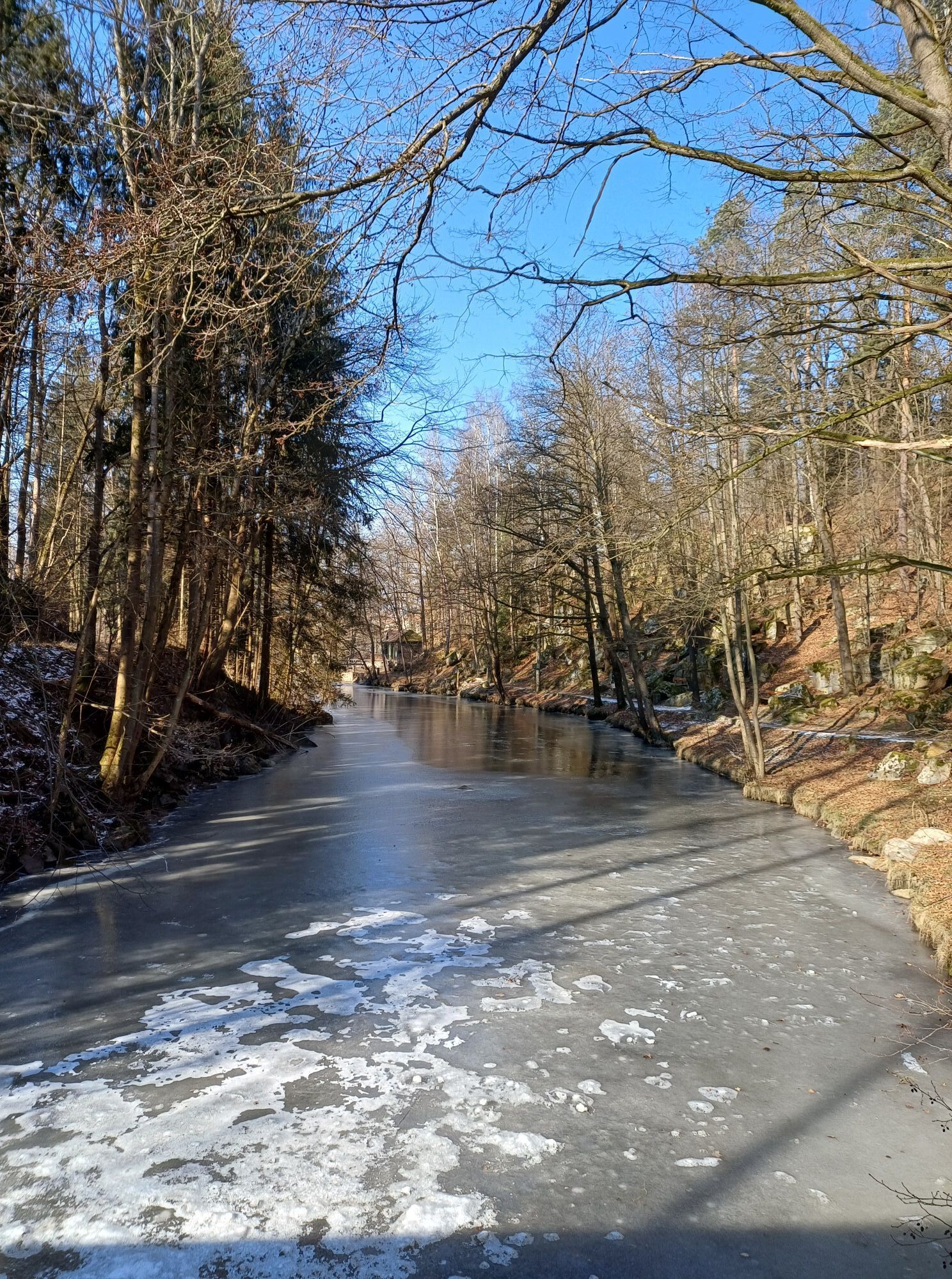
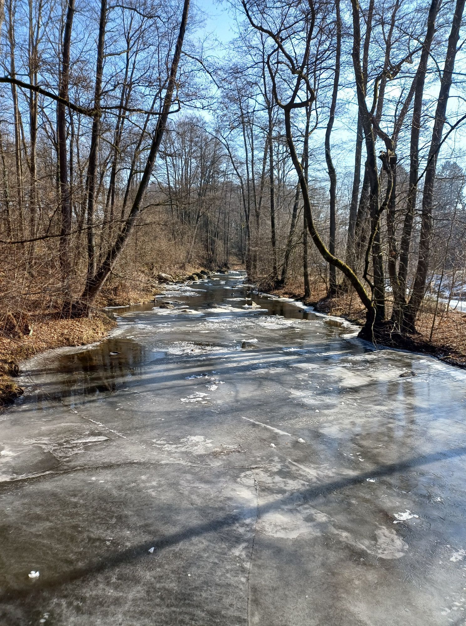
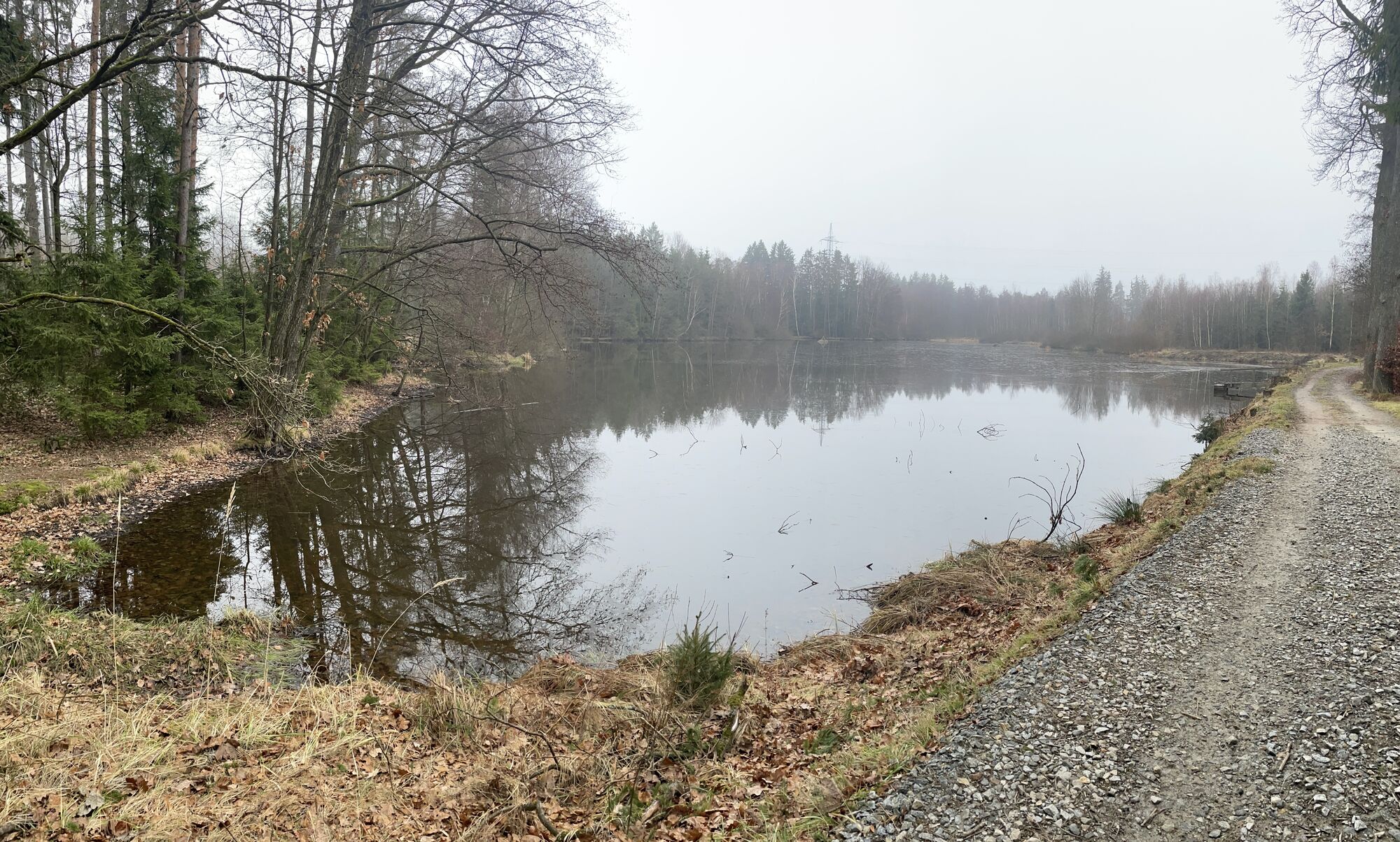
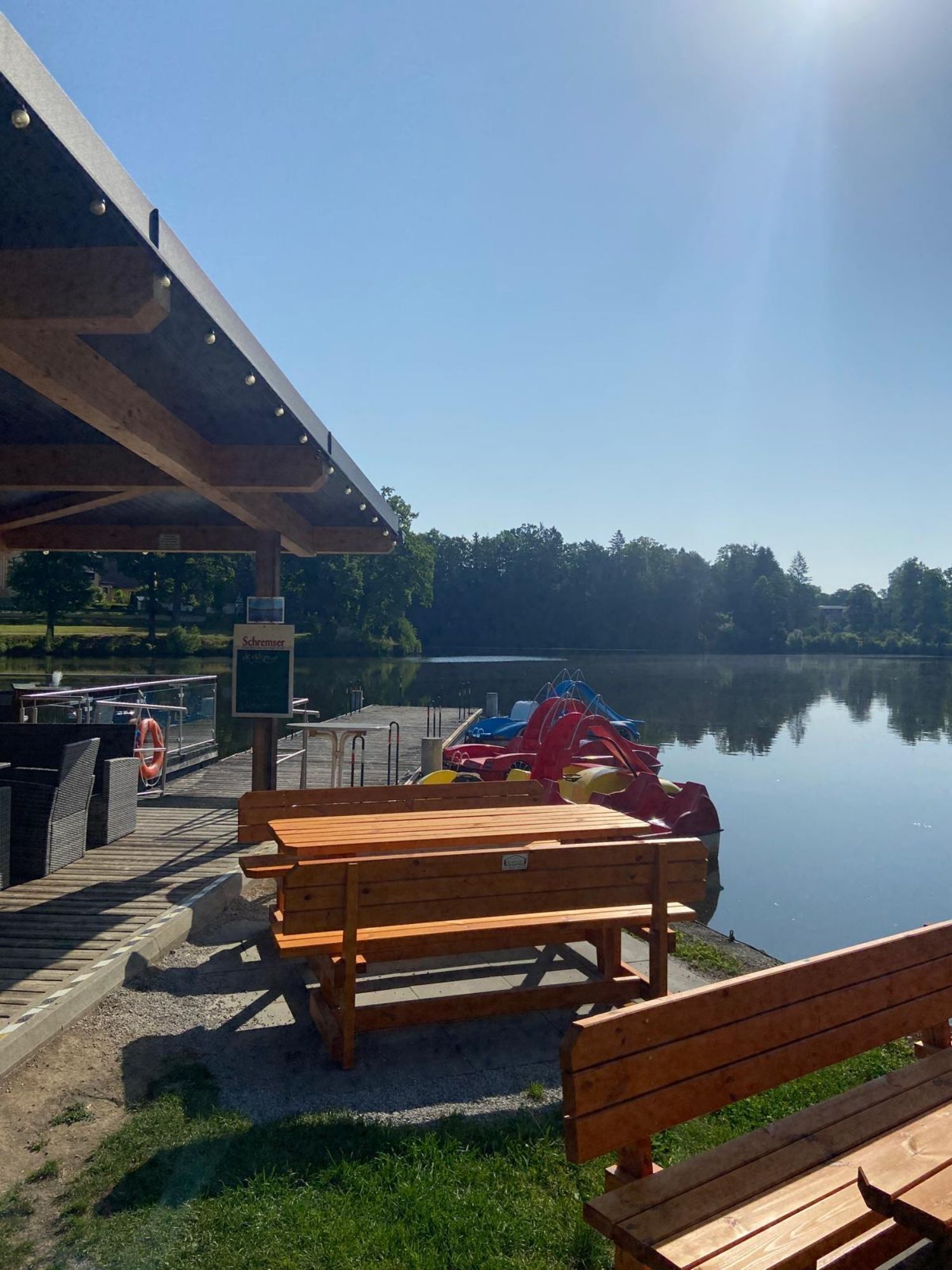
The long-distance hiking trail is divided into 4 daily stages. Along the route there are numerous nature trails, nature parks and lookout towers with a panoramic view of the region. It also passes through...
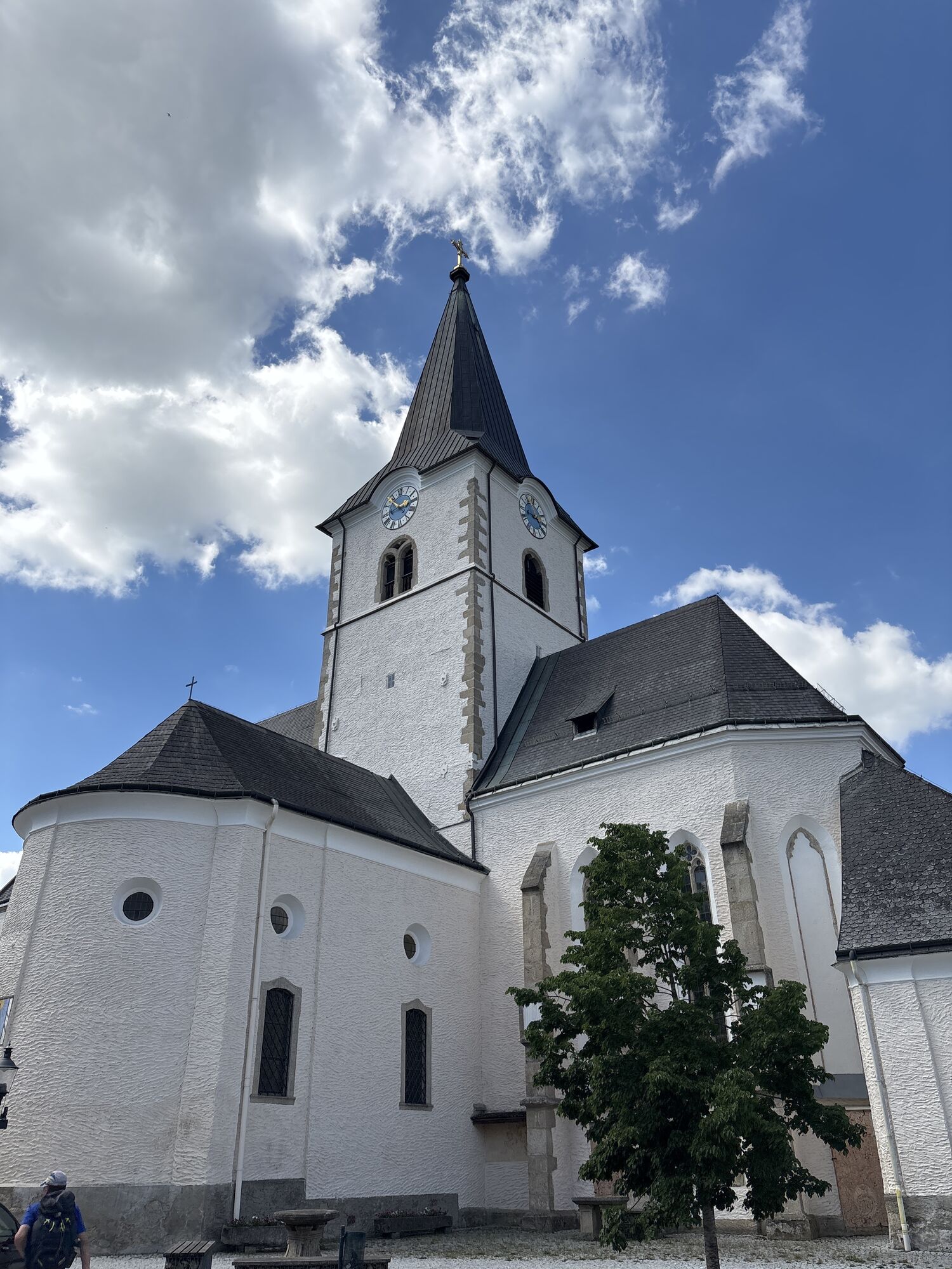
The long-distance hiking trail is divided into 4 daily stages. Along the route there are numerous nature trails, nature parks and lookout towers with a panoramic view of the region. It also passes through historic towns and villages, including Weitra, Gmünd and Litschau. Hikers also have the opportunity to visit medieval castles, craft workshops and natural monuments, such as the Blockheide in Gmünd with its bizarre rock formations.
Leave the organization and luggage to us so that you can fully enjoy your hiking experience. >> TO PLANNING

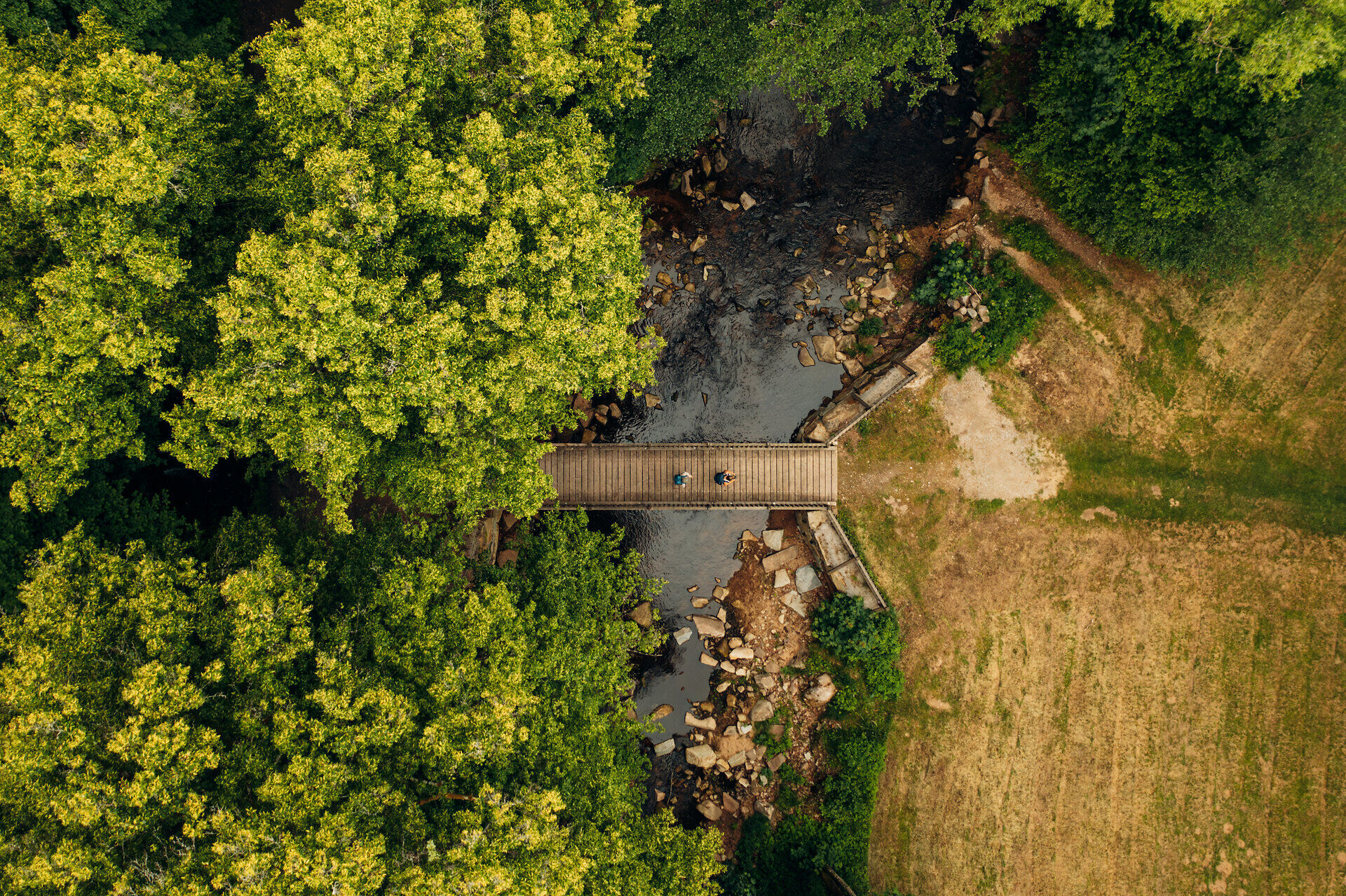
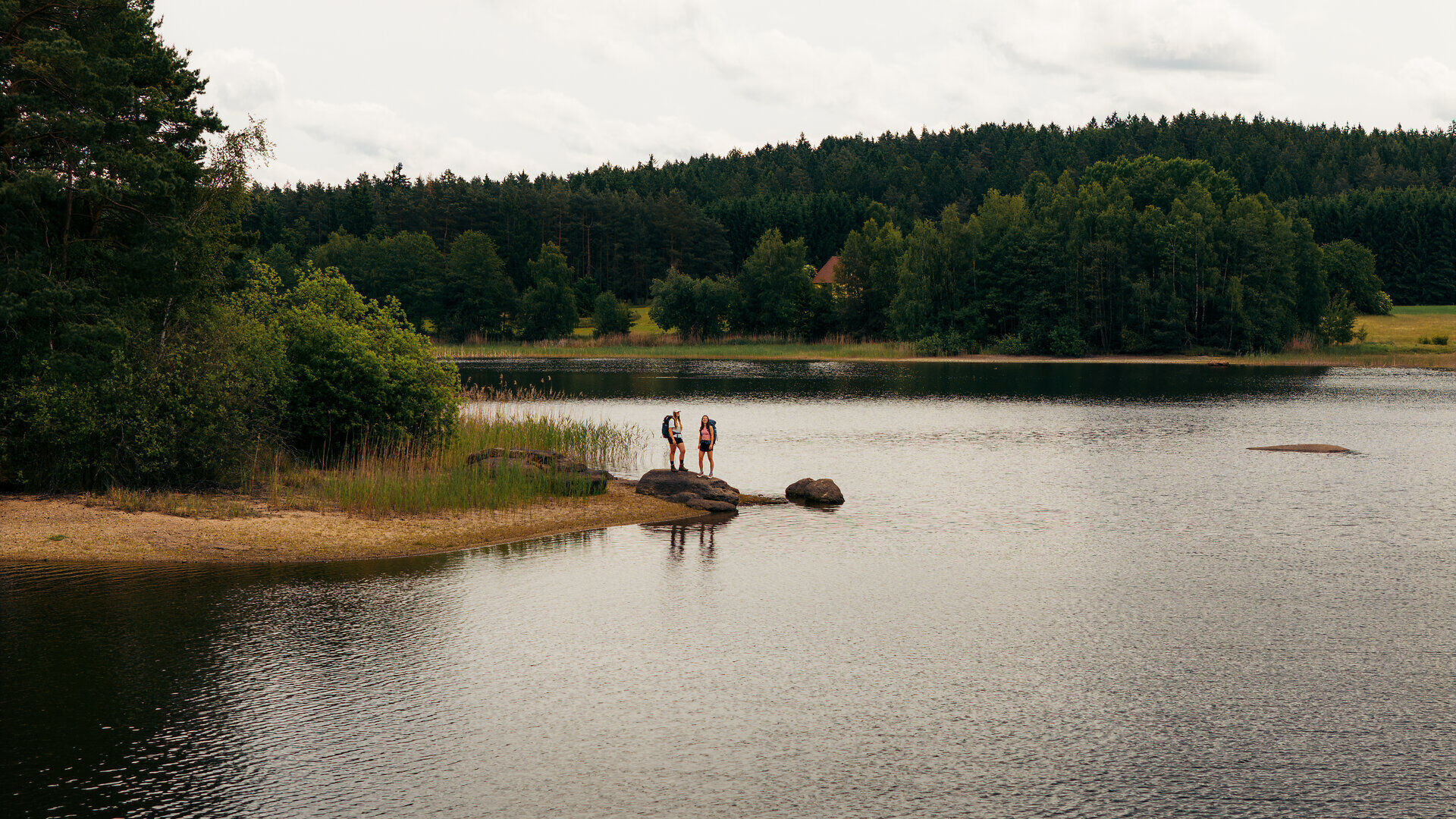

Stage I/1a: Lainsitz source – Weitra via Sankt Martin (28.5 km)
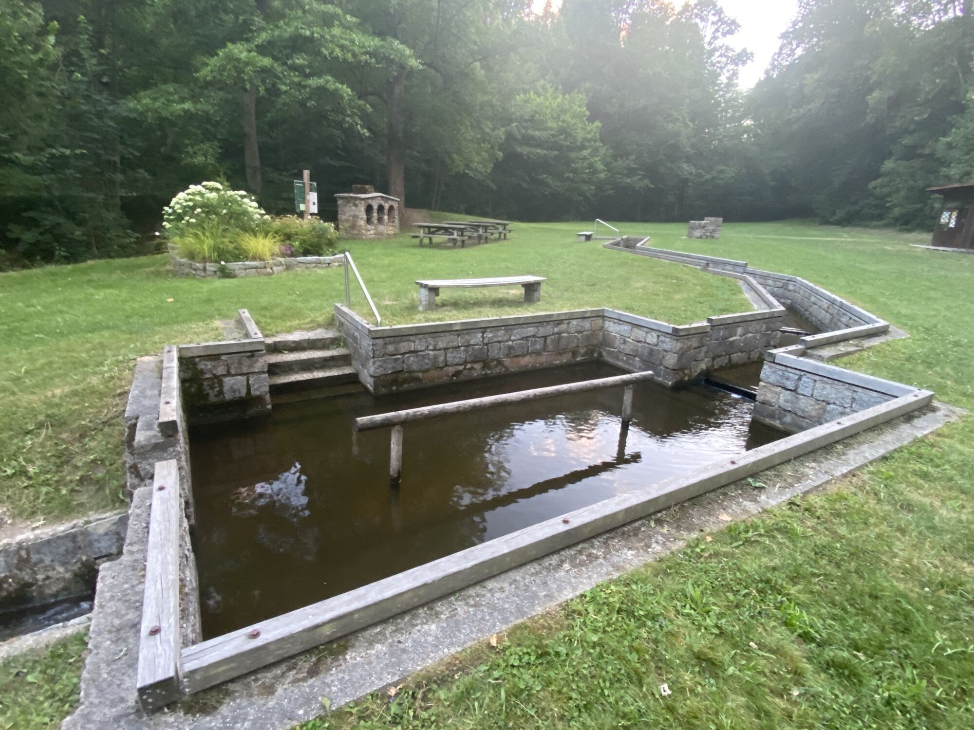
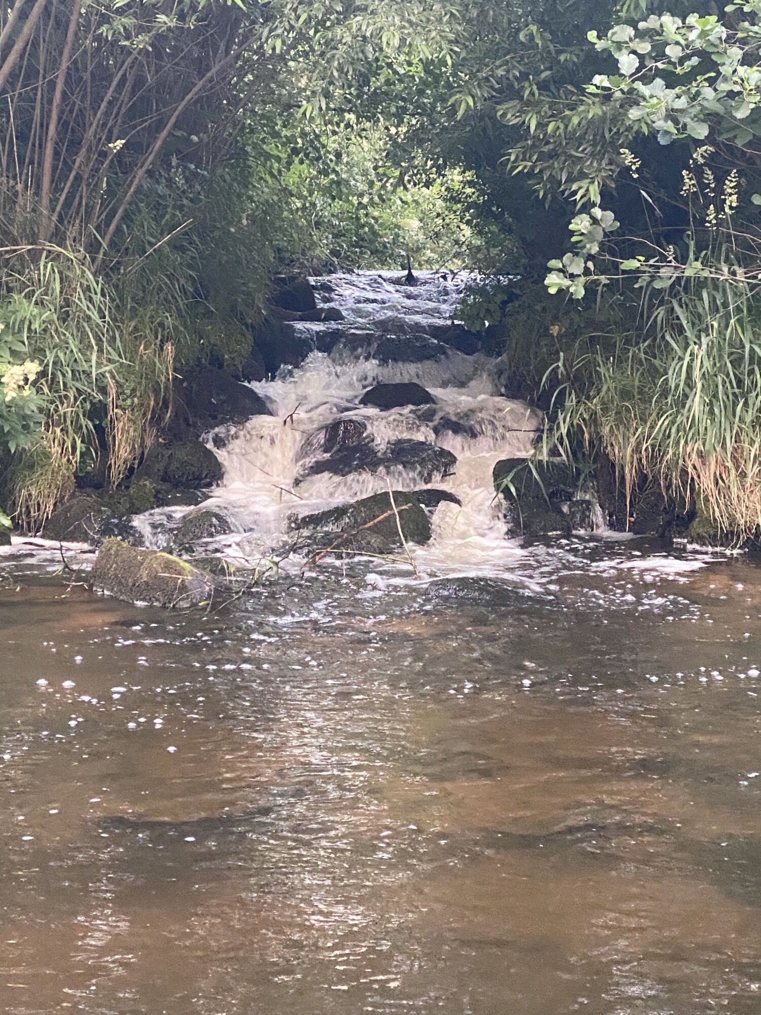
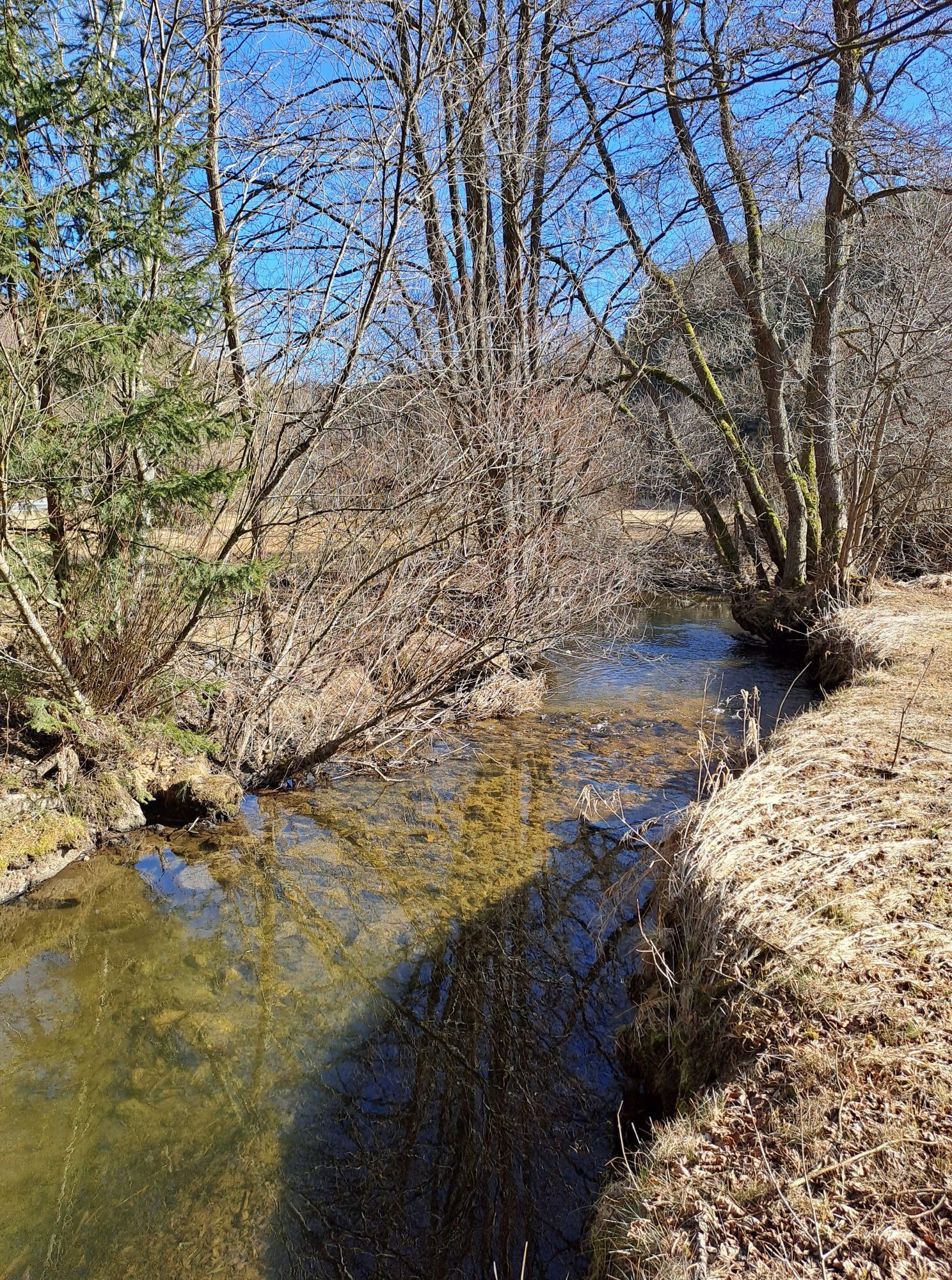
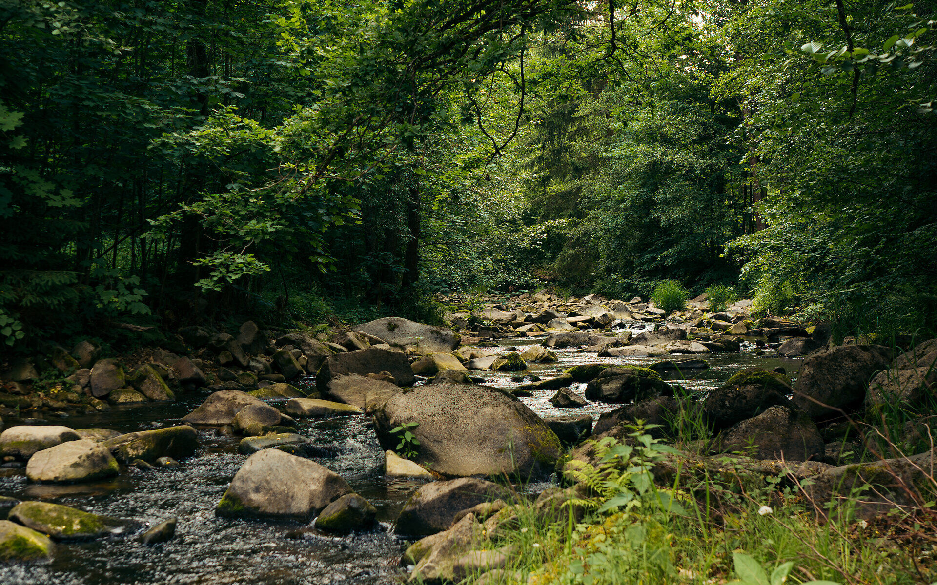
The trail along the Lainsitz begins at the beautifully designed source in the form of a small chapel. Our path runs through the municipality of Karlstift and leads after six kilometers to the Lainsitz. Shortly afterward, the trail splits into two alternative routes. The main route continues into the beautiful valley and over the municipality of St. Martin to the historic town of Weitra.
Alternative: Stage I/1b: Lainsitz source – Weitra via Nebelstein (27 km)
The second variant leads to the highest point of the entire trail, the Nebelstein (1017 m). To conclude this stage, one hikes through the beautiful Gabrielental and finally reaches the stage destination Weitra.
Stage I/2: Weitra – Gmünd (19.6 km)
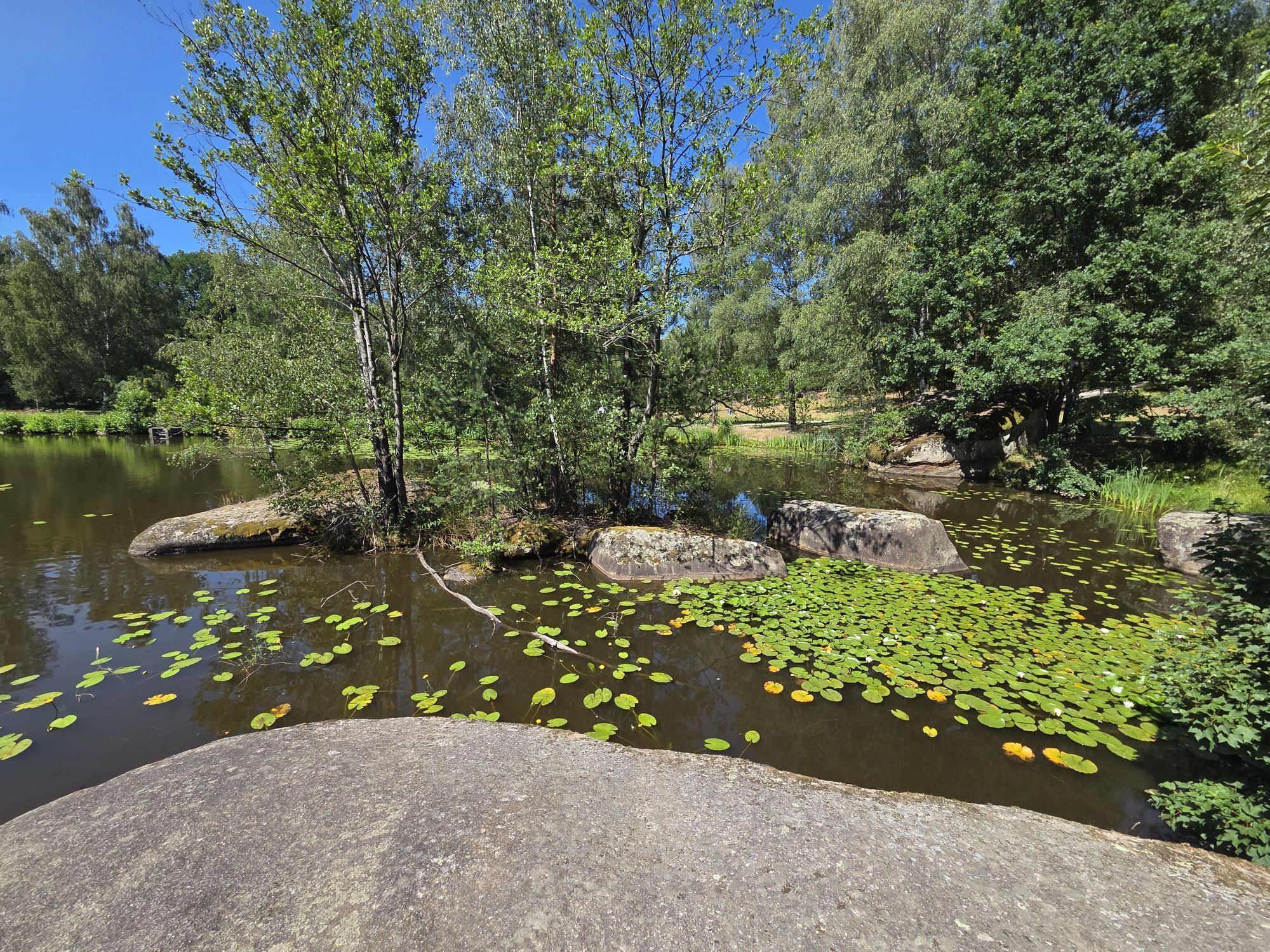
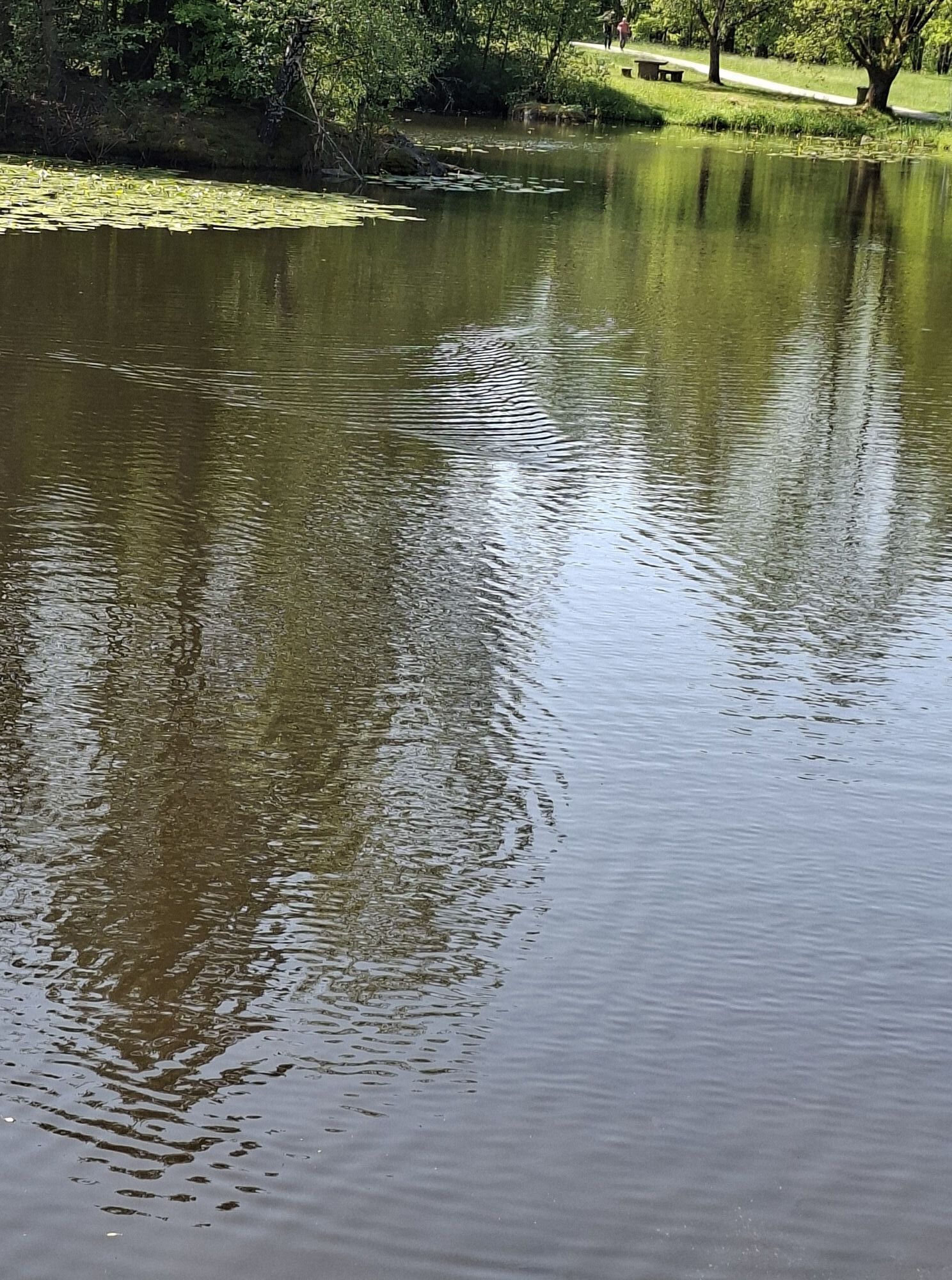
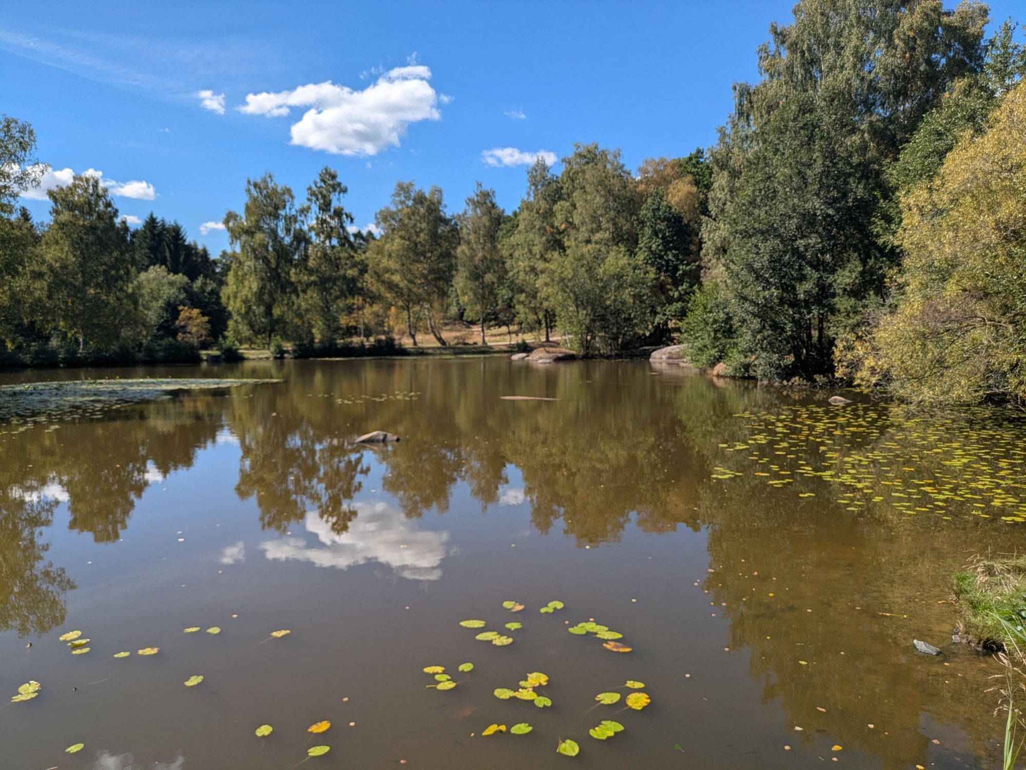
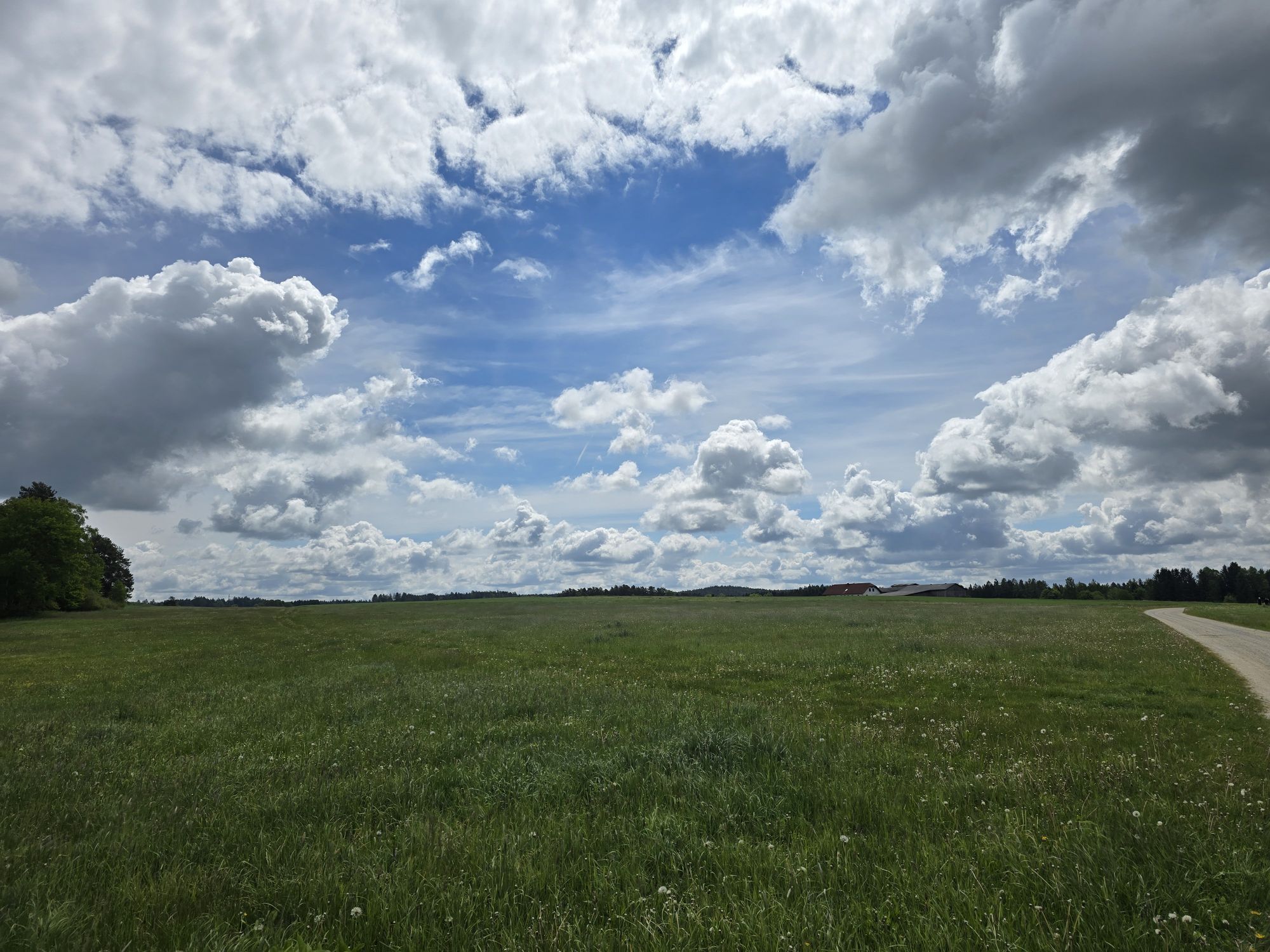
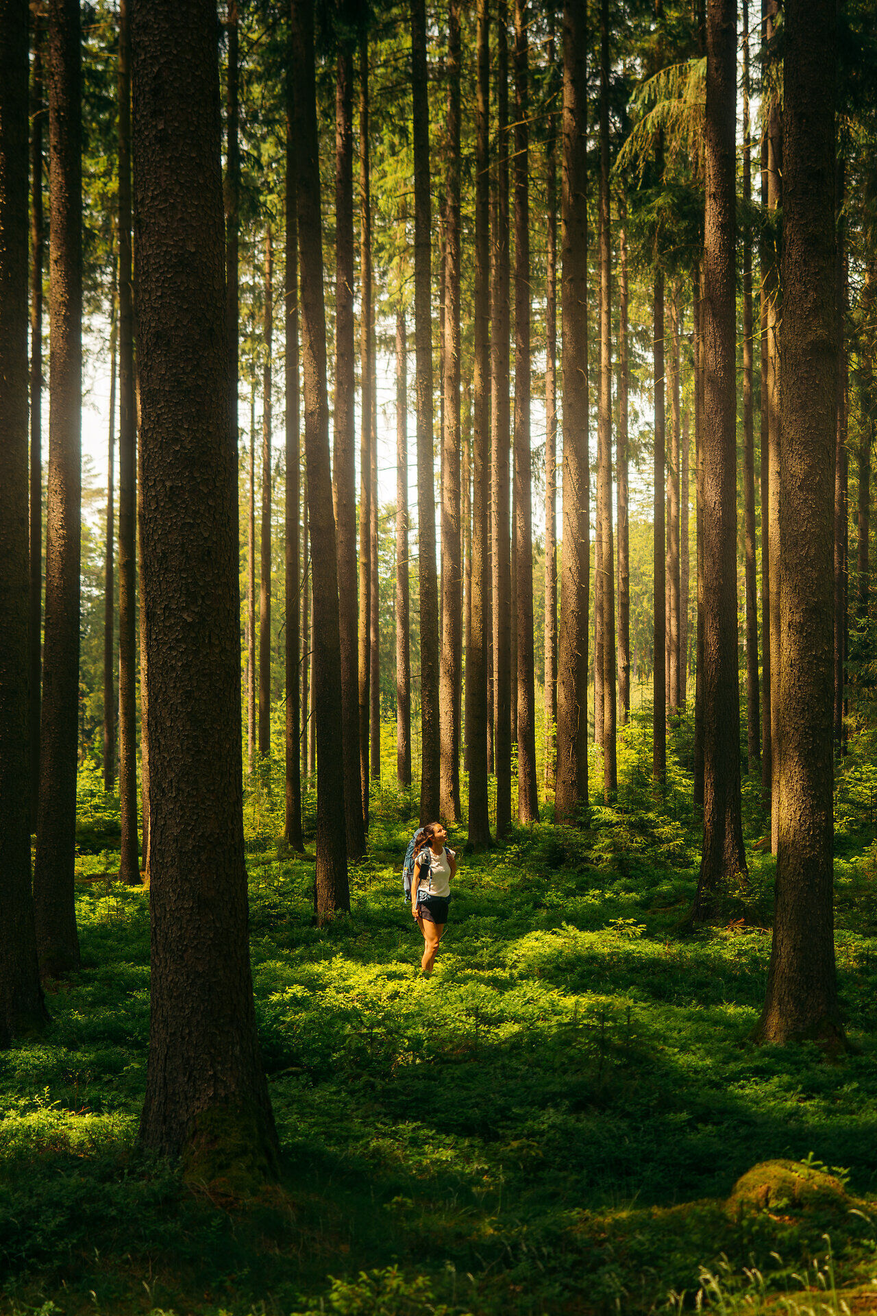
This stage runs without major elevation changes through forests, meadows, and fields. Also, some fish ponds typical of the Waldviertel are passed.
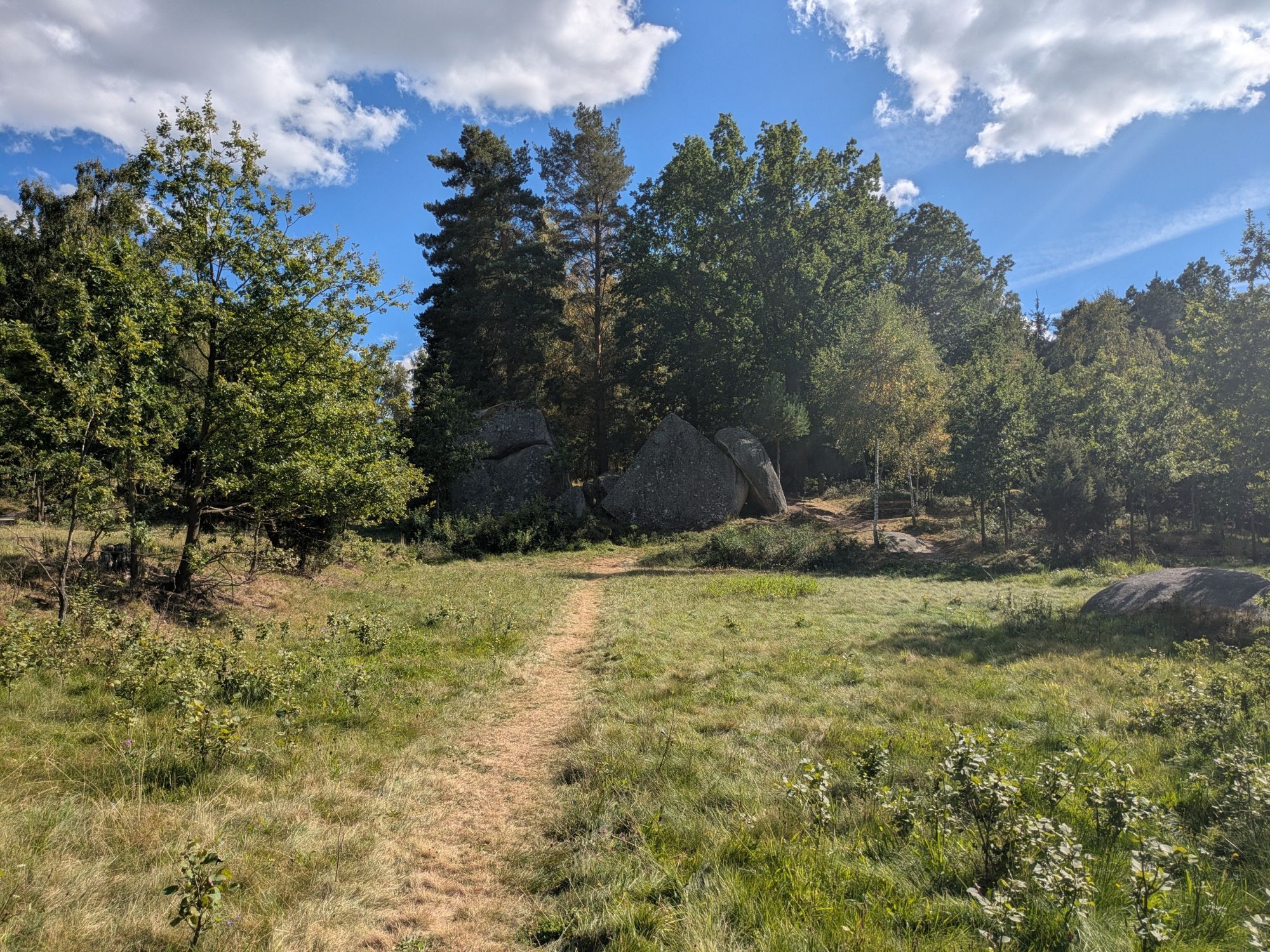
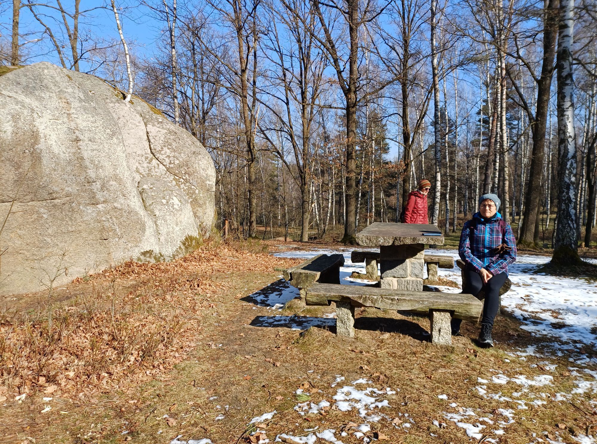
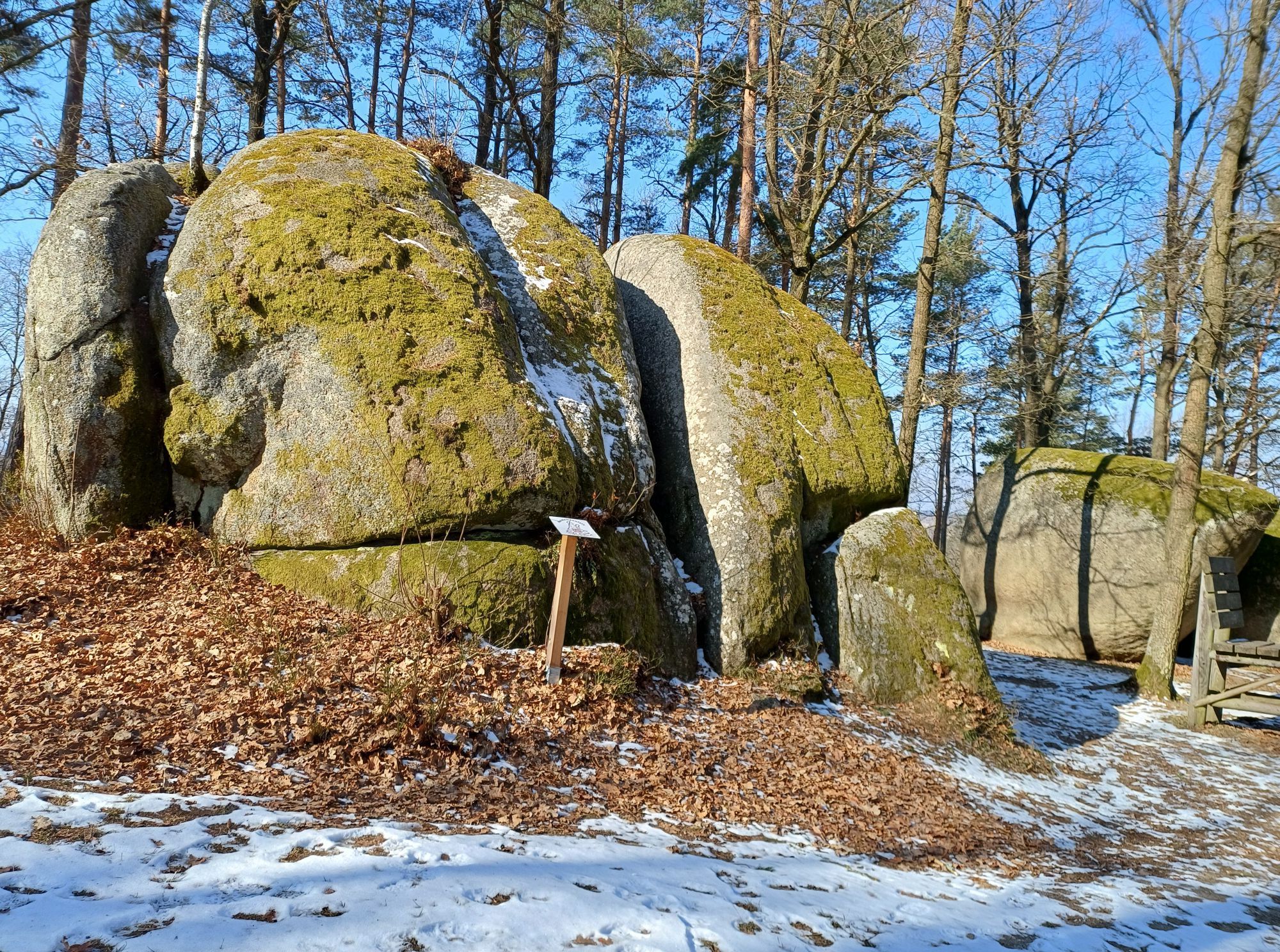
A few kilometers before the largest city on the Austrian side – Gmünd – the route passes over an extensive plateau, rich in waters, and at the boundary of the plateau near Gmünd by large stone blocks, lying singly or in groups, typical for the Waldviertel area. The historic core of Gmünd with its small, very beautiful town hall and the famous facades of some Renaissance houses offers enthusiasts of classical architecture an experience. Also interesting is the waterfall that the Lainsitz forms in the middle of the town, directly at the border crossing to Äeská Velenice.
Stage I/3: Gmünd (Blockheide) - Litschau (25.2 km)
From Gmünd, the route leads through gently rolling landscape with many beautiful forests parallel to the Czech border to the north. In the community of Brand lies a beautiful pond with a large swimming pool. Some may find the landscape reminiscent of the Czech Canada near Nová BystÅice, where both landscapes merge.
Stage I/4: Litschau - Chlum (border crossing) (12.8 km)
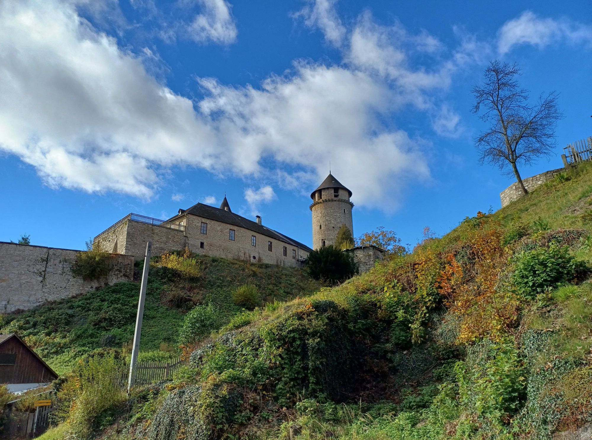
In the picturesque town of Litschau, below the old castle, the trail turns northwest. The route leads through a valley, past the recreational “Herrenteich,” ascends through forests, crosses the border, and after three kilometers reaches the end of section I, the small town of Chlum u TÅebonÄ.
Although we have moved away from the Lainsitz in Gmünd, we have not left its catchment area. The Reissbach flows through Litschau. The route of the entire section “Junge Lainsitz” basically runs through hilly terrain – in the only town on the trail, Gmünd, the hiking trail dips slightly below 500 m altitude.
Sturdy footwear, functional clothing, sun and rain protection, map material, if necessary telescopic poles, first aid kit (blister plasters), sufficient provisions (snack, muesli bars, fruit, water).
Please do not leave any trash in the area!
Make sure when choosing the route that it matches your fitness level. Check whether the gastronomy businesses you want to visit along the way are open. Pack your mobile phone and map material in your backpack.
For cross-border routes, please always carry a passport or identity card.
Linz - via Freistadt - Sandl to Karlstift
Vienna - A22 to Stockerau - S5 to Krems - B37 to Rastenfeld - B38 via Zwettl - Groß Gerungs - Langschlag to Karlstift
Waldviertel Tourismus
3910 Zwettl, Sparkassenplatz 1/2/2
(T) +43 2822 54109
(E) info@waldviertel.at
(I) www.waldviertel.at
At the end of the second section of the trail, a visit to the lookout tower in the Blockheide Gmünd beckons. From here, hiking enthusiasts enjoy a view far beyond the border region into the Czech Republic.
Získajte prehľad
Vždy naživo na mieste s viac ako 9 500 webovými kamerami. bergfex Ako používateľ Pro si teraz môžete pozrieť príslušné webové kamery pre mnohé zájazdy v aplikácii zájazdy z. Môžete si tak priamo prezerať aktuálne podmienky.
Obľúbené výlety v okolí
-
4,5
Mandelstein von Moorbad aus
svetloTuristika 9,47 km -
4,9
Mandlstein Heinrichs bei Weitra Erlebnisweg
svetloTuristika 13,1 km -
4,9
Mythologieweg Blockheide
svetloTuristika 4,96 km -
4,2
Blockheiderunde
svetloTuristika 6 km -
5,0
My route to happiness
strednáTematická trasa 4,30 km -
4,7
Rundweg Gabrielental-Reinprechts-Brühl-Gabrielental, Nr. 31
strednáTuristika 11,4 km -
4,0
Gmünd Blockheide
svetloTematická trasa 8,18 km -
4,5
Gmünd: Blockheide mit Wackelsteinen
svetloTuristika 8,14 km -
3,7
Xunde Runde
svetloTuristika 7,41 km -
Bernhardiweg in the Waldviertel
strednáPútnická trasa 124,5 km

Turistika a stopovanie


Nenechajte si ujsť ponuky a inšpiráciu na ďalšiu dovolenku
Vaša e-mailová adresa bol pridaný do poštového zoznamu.





