






Great Bärentrail

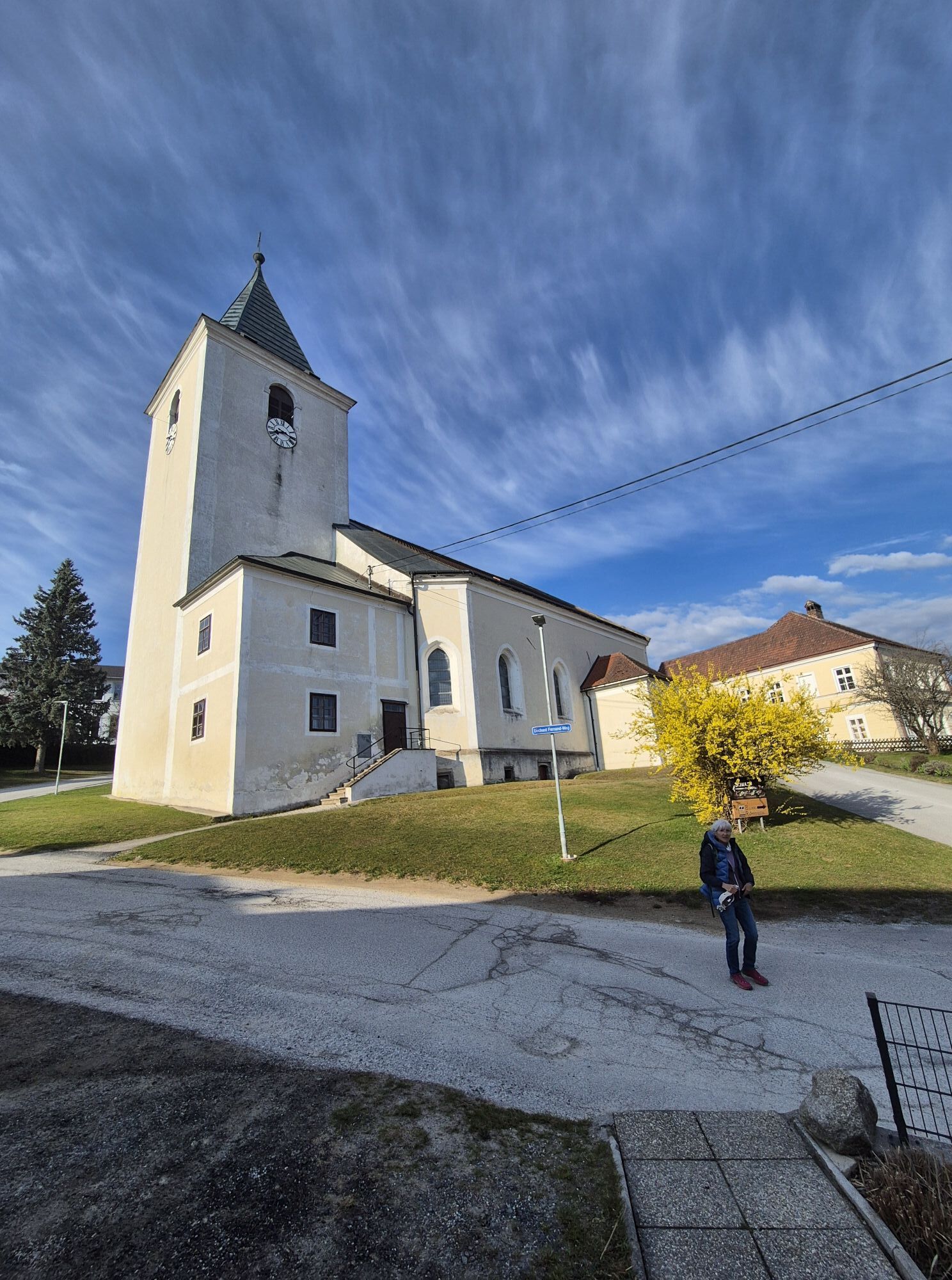
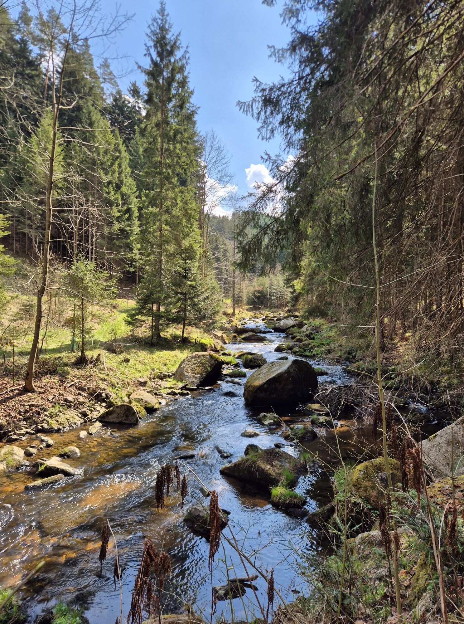
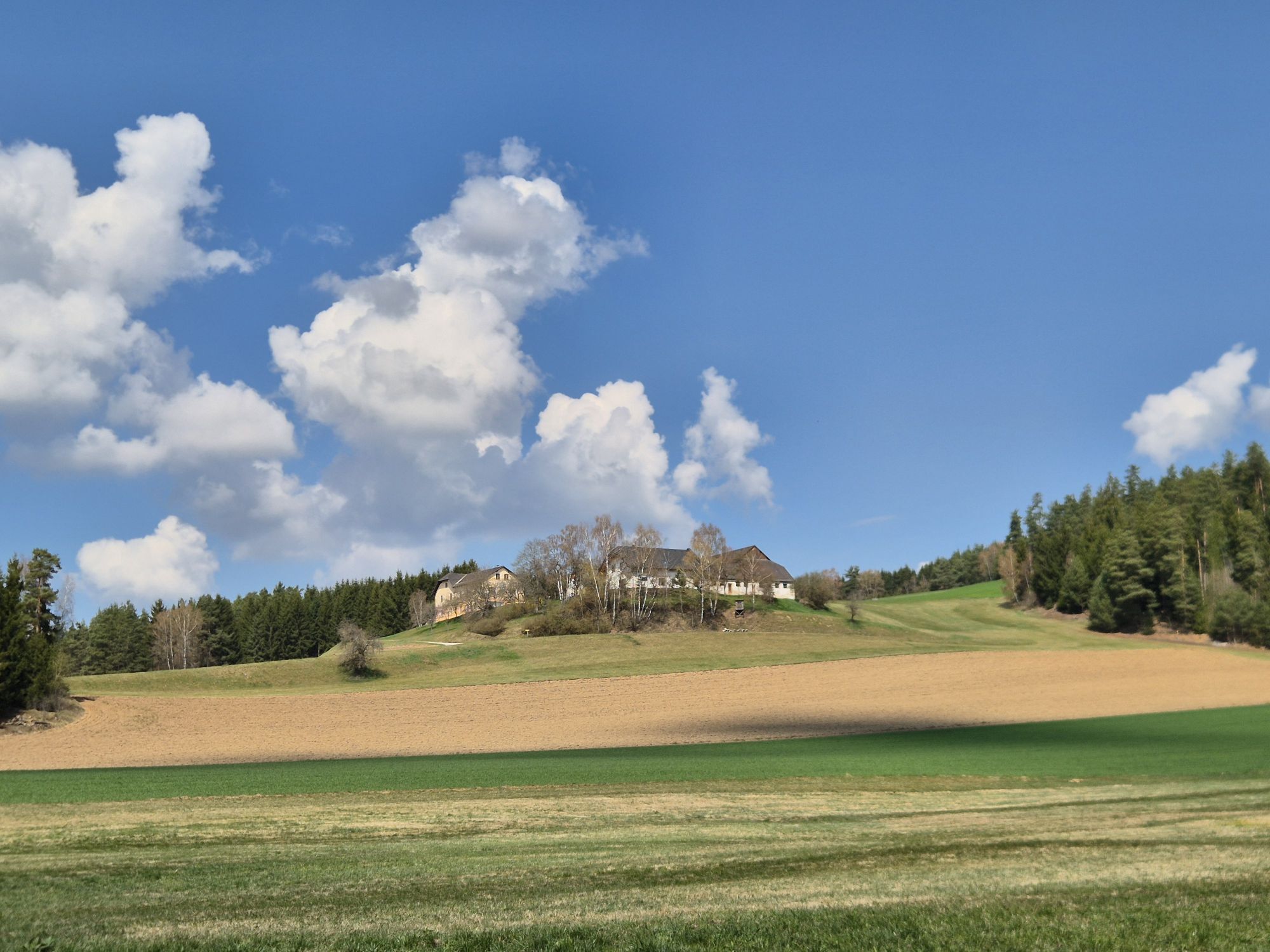
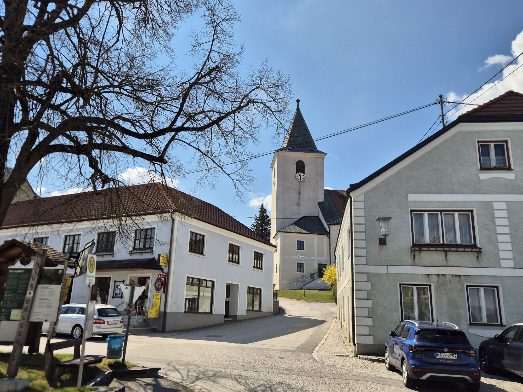
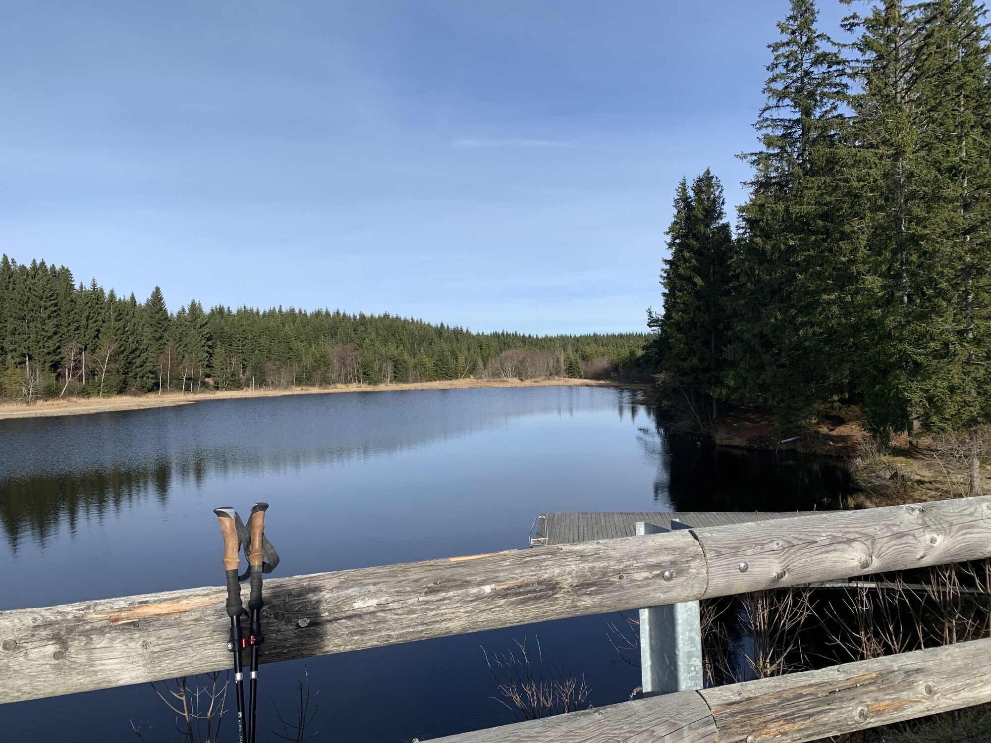
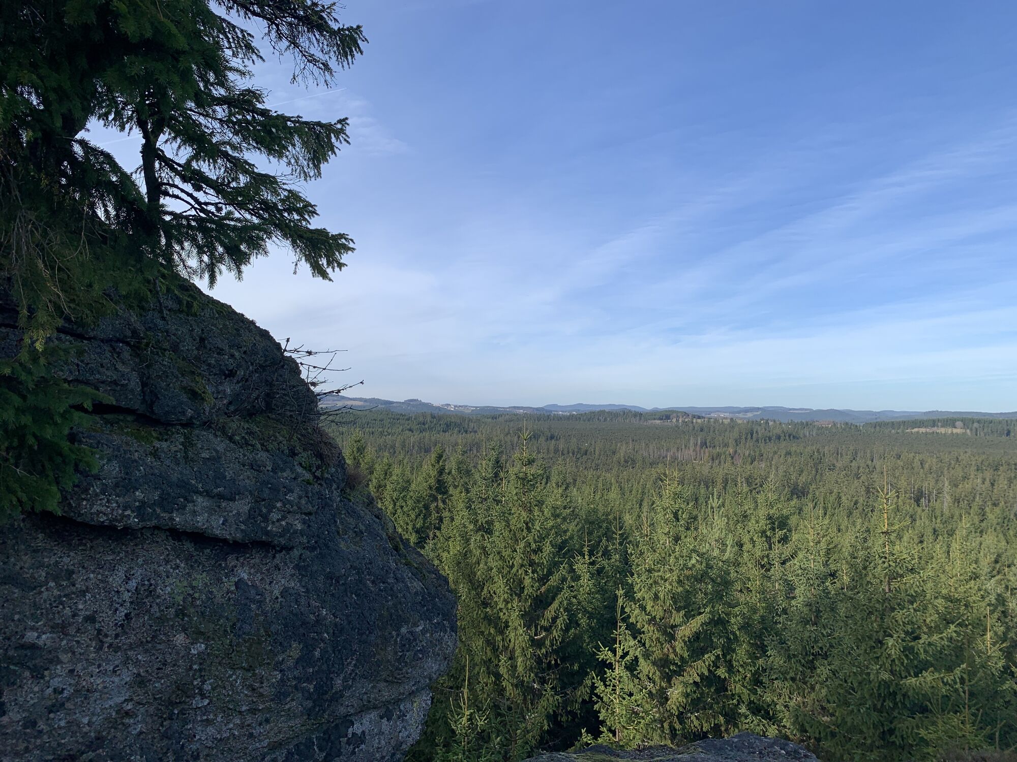
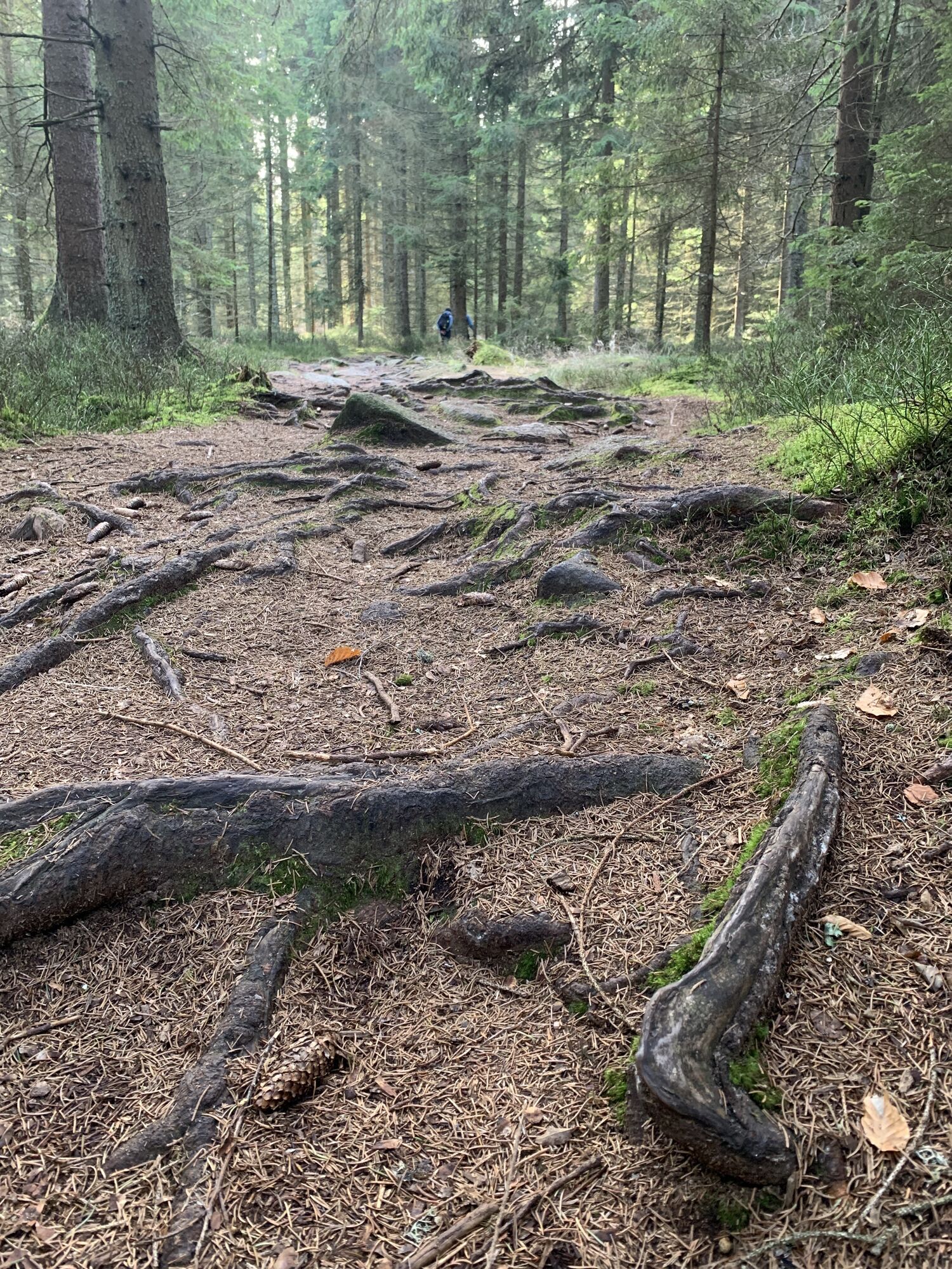
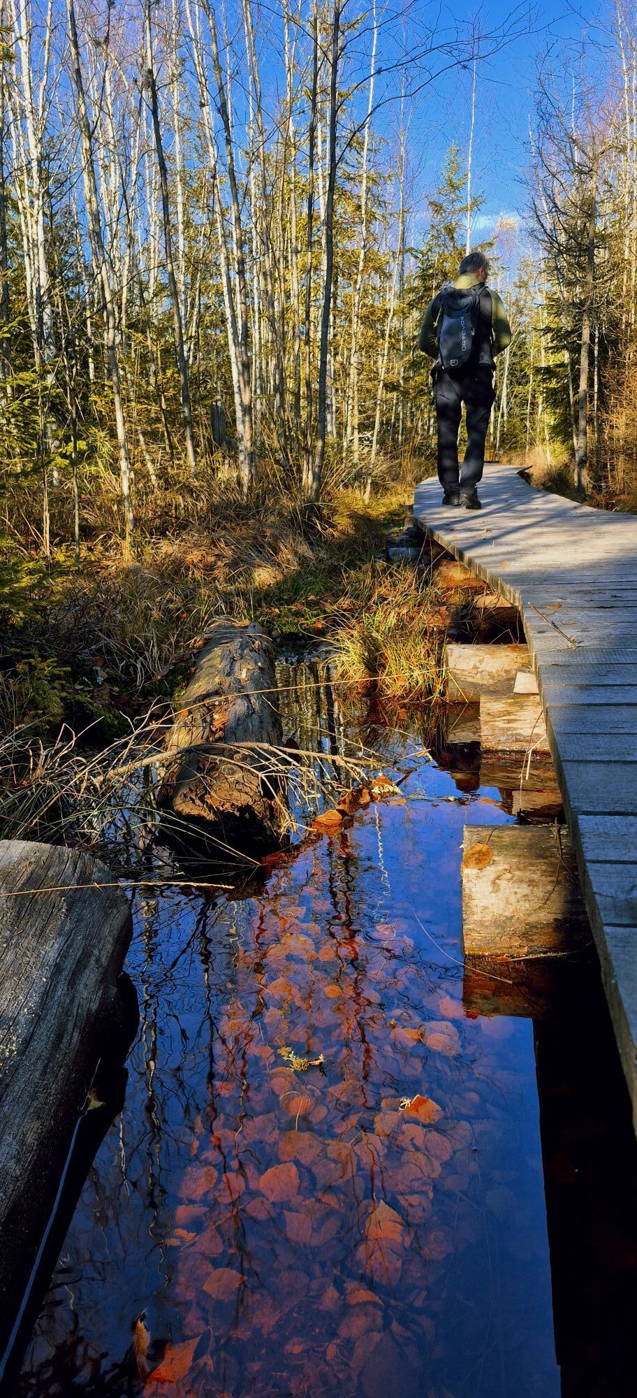


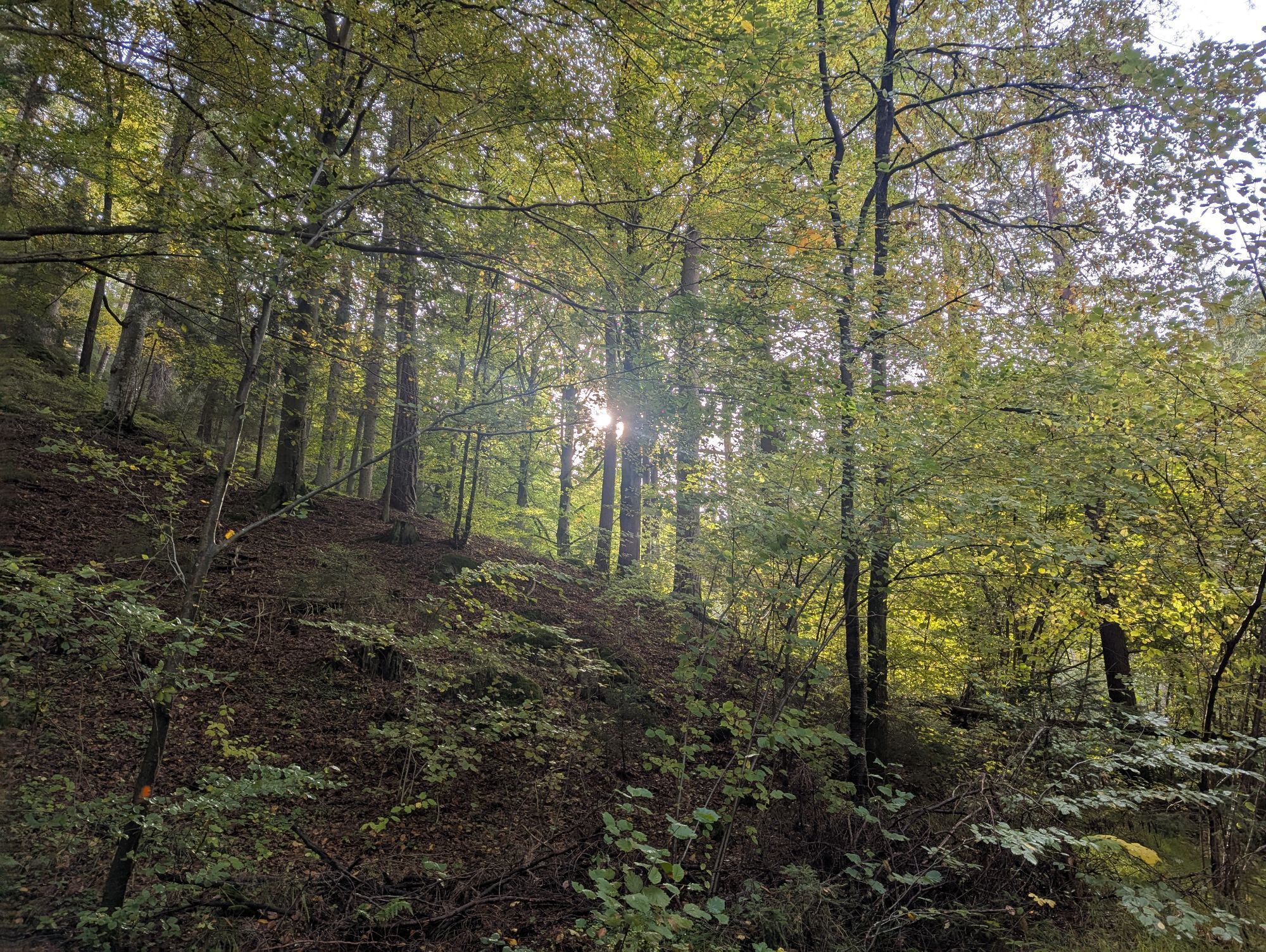
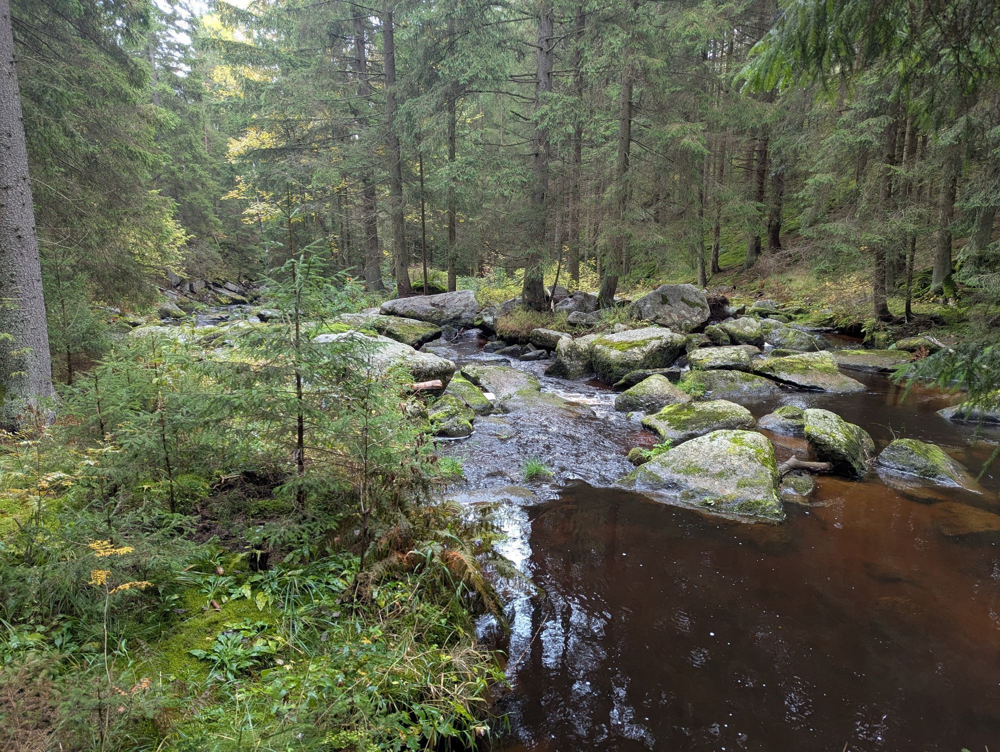
The Bärentrail leads to the most beautiful corners of the Waldviertel highlands. More and more people are discovering the advantages of being close to nature and want to experience it up close. The Bärentrail...
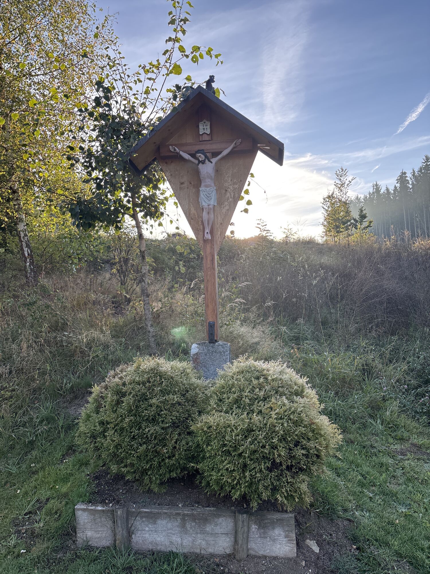
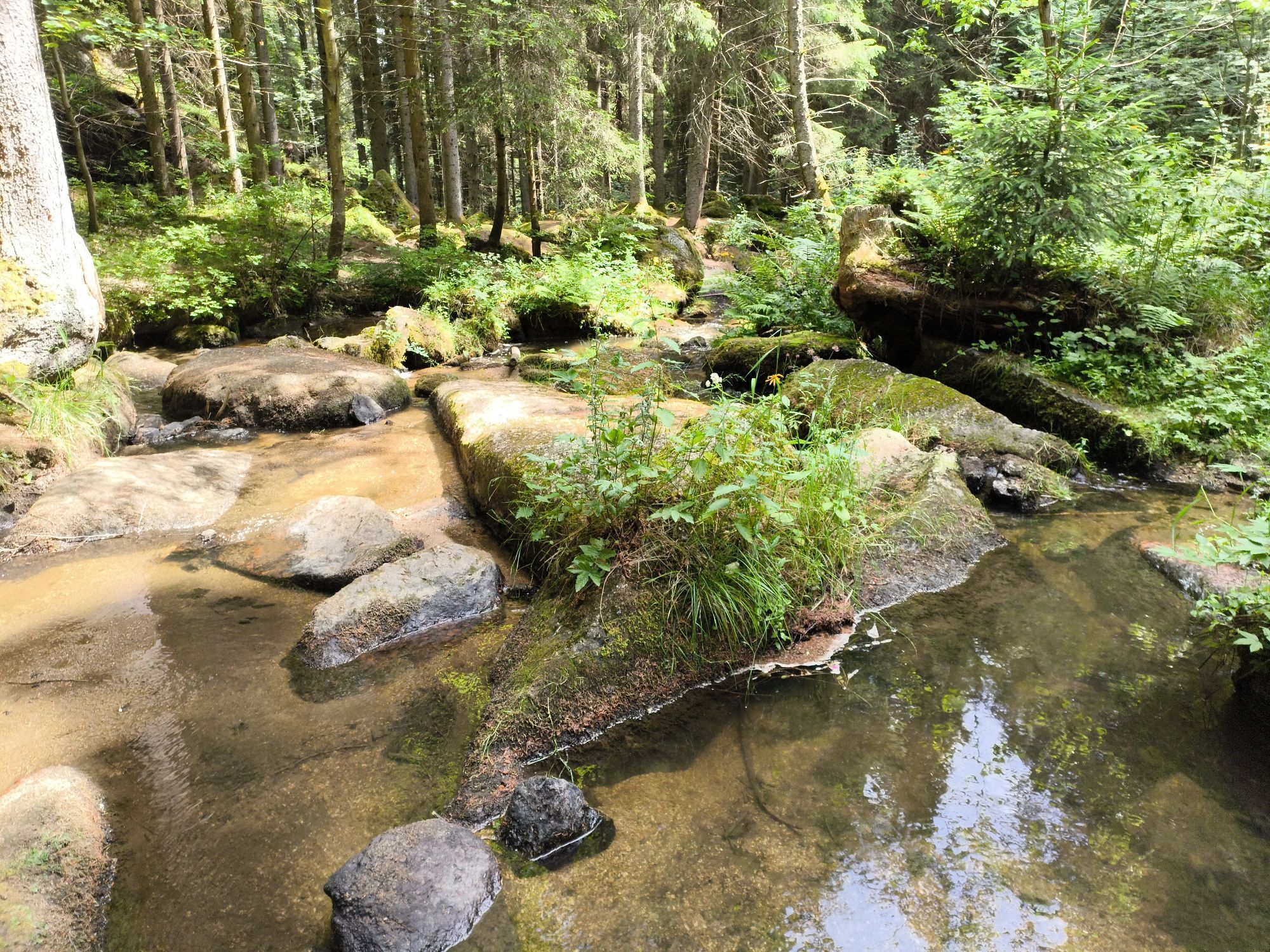
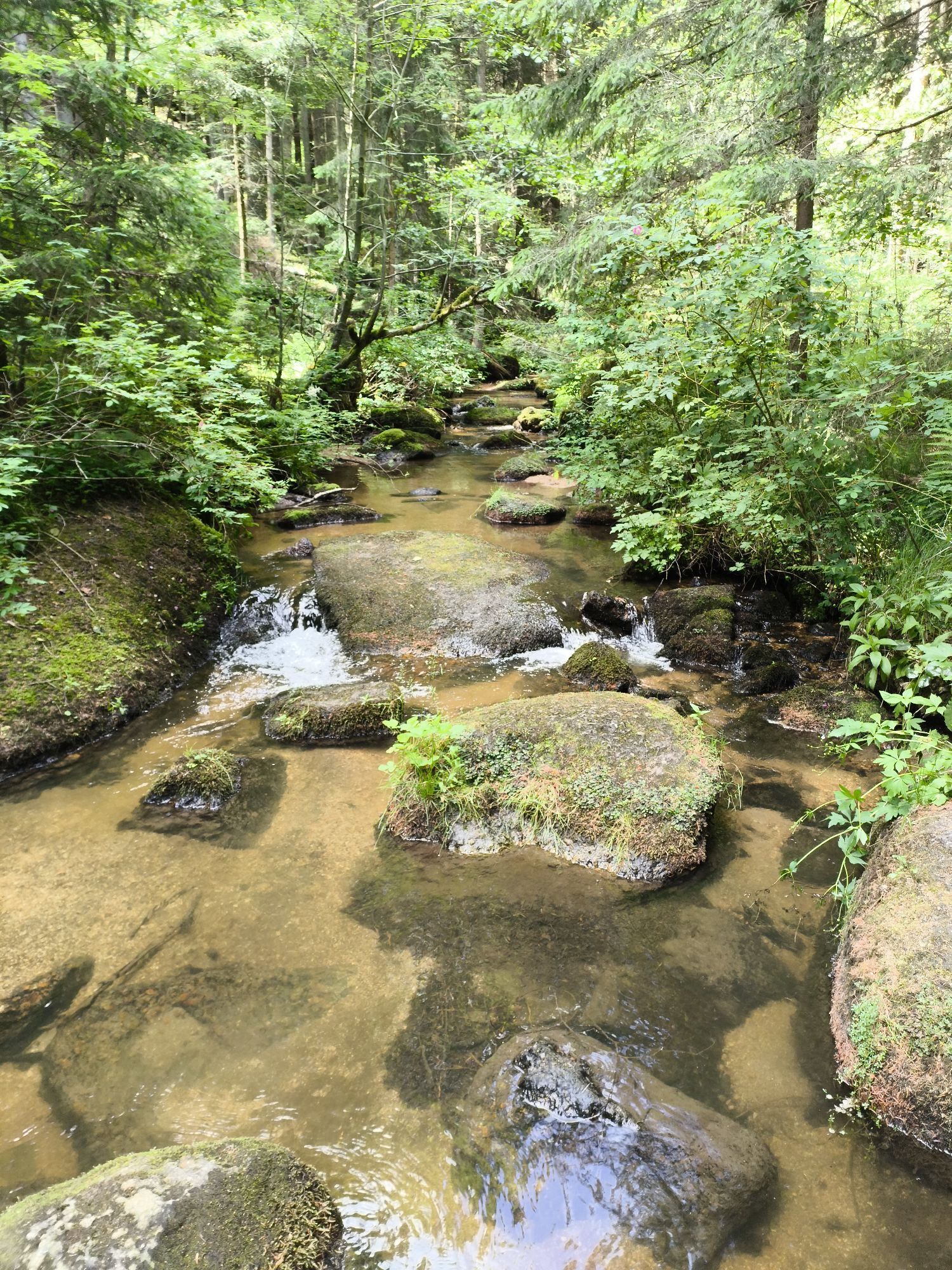
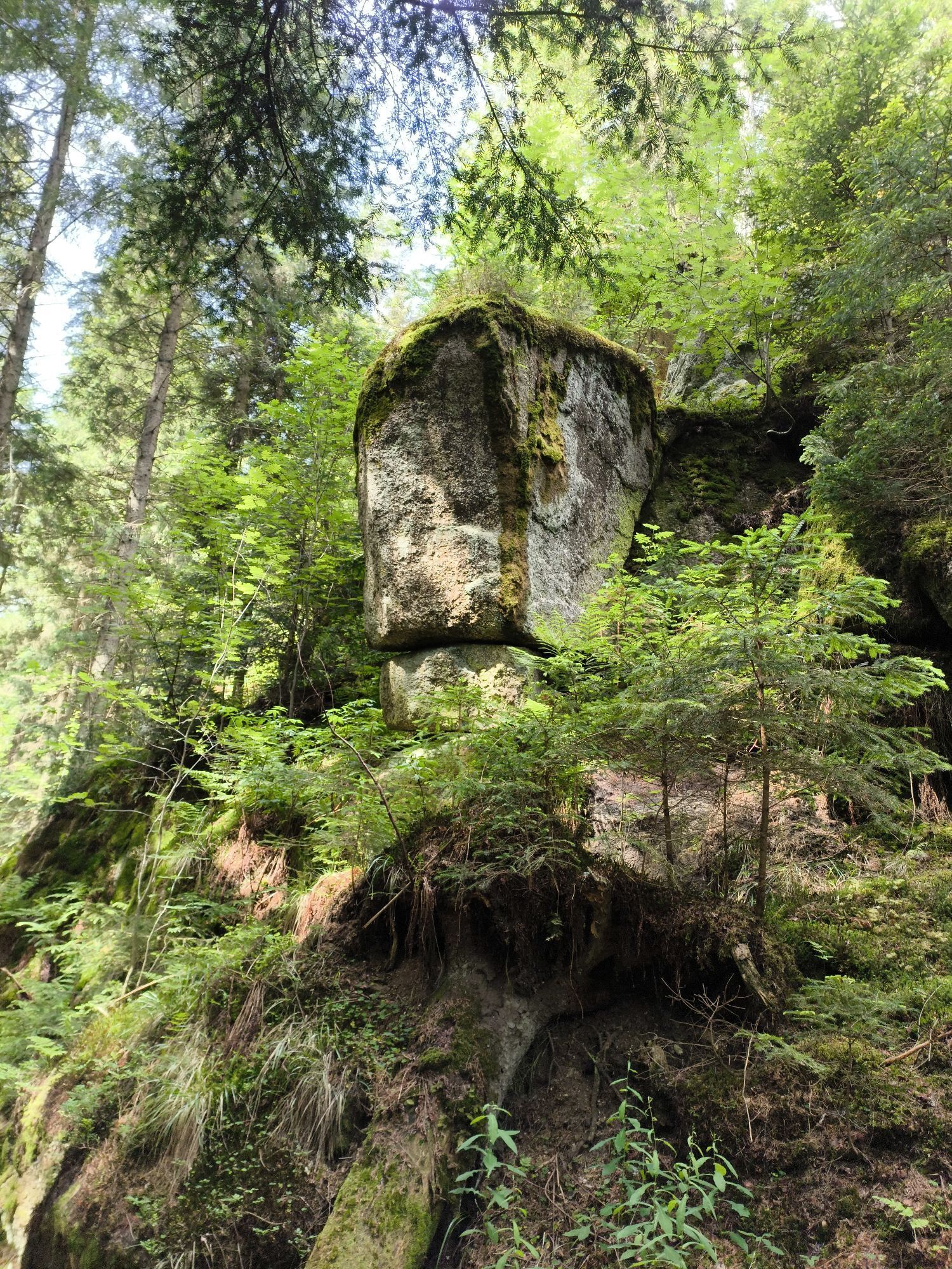
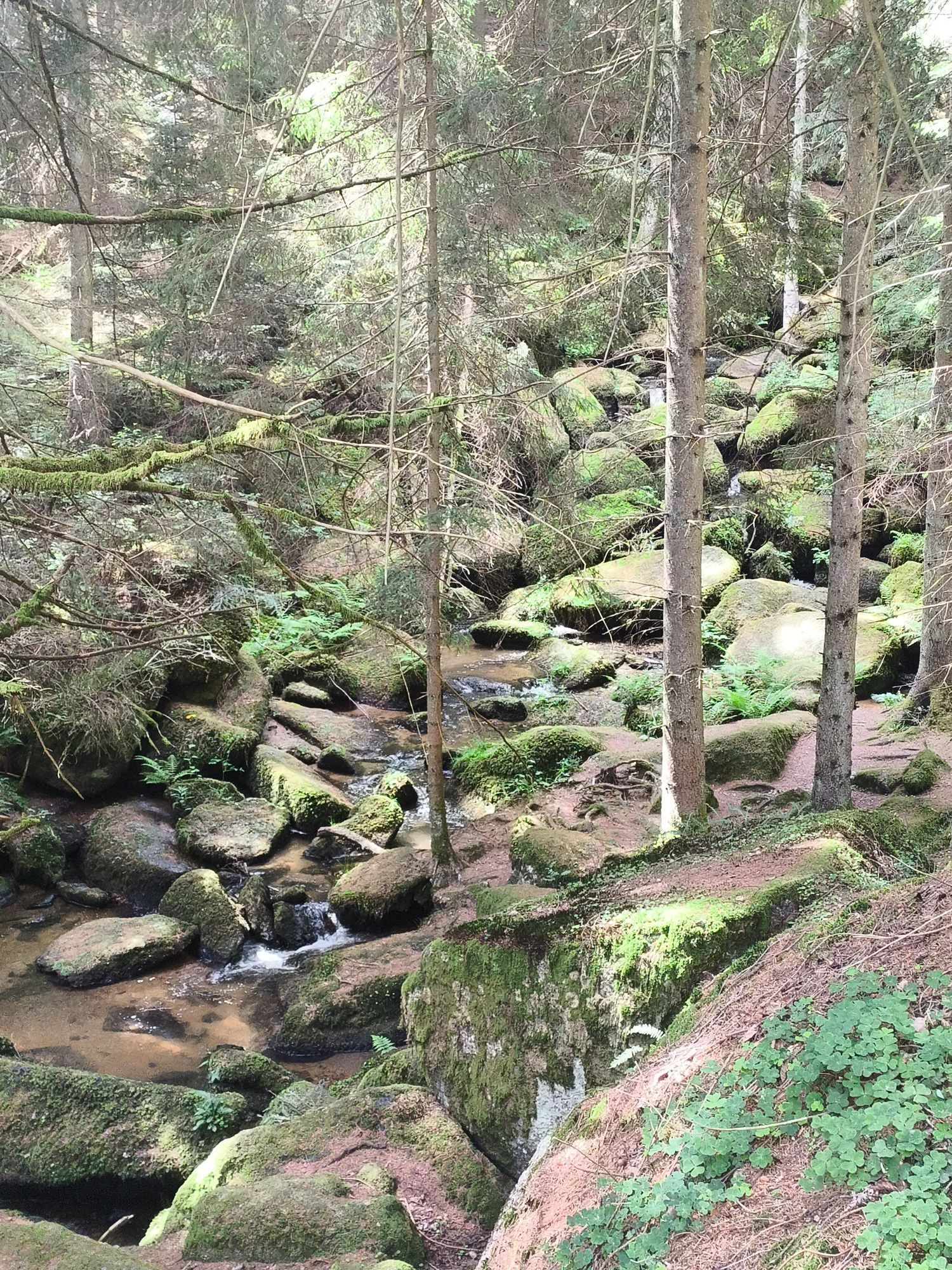
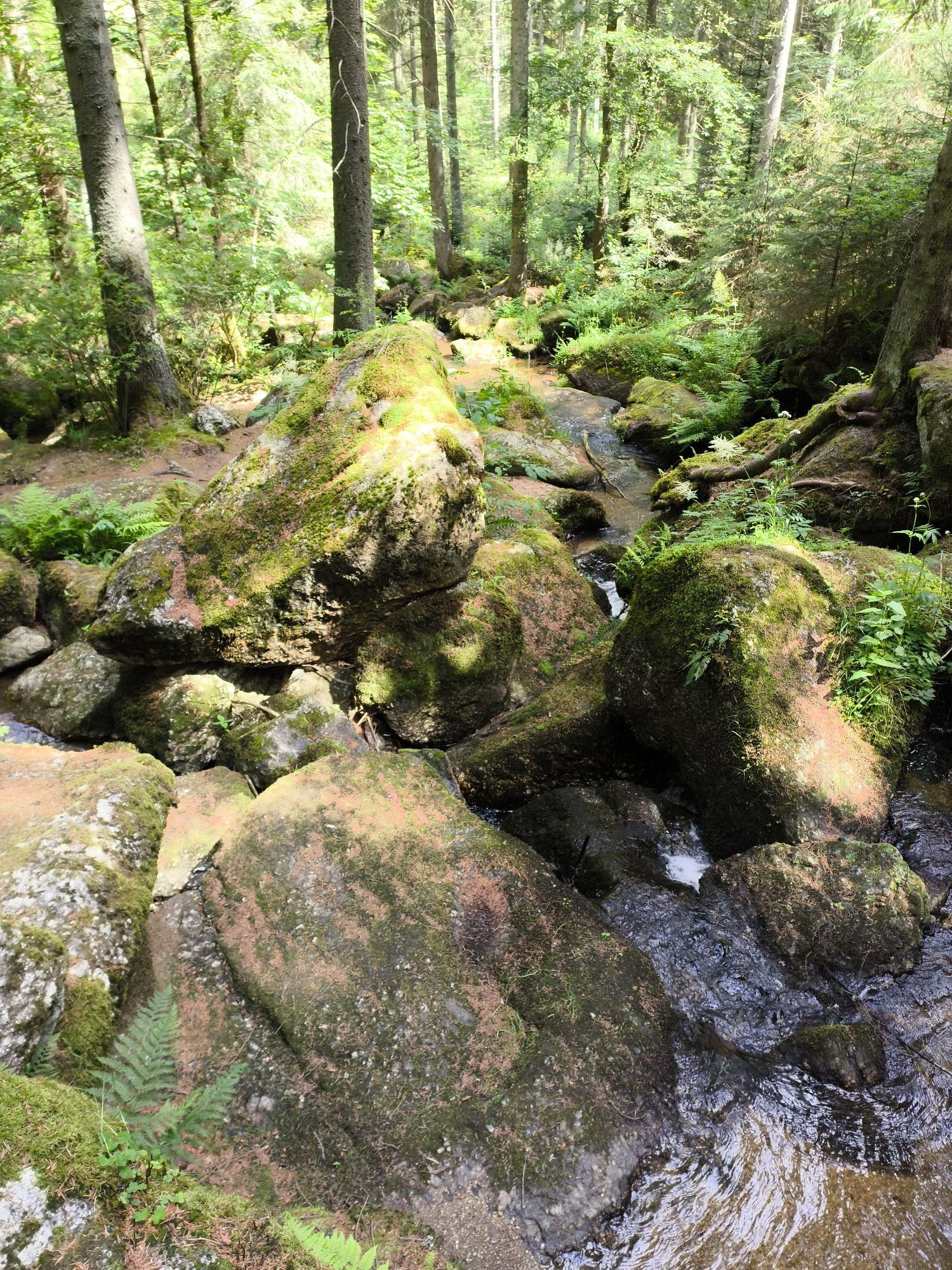
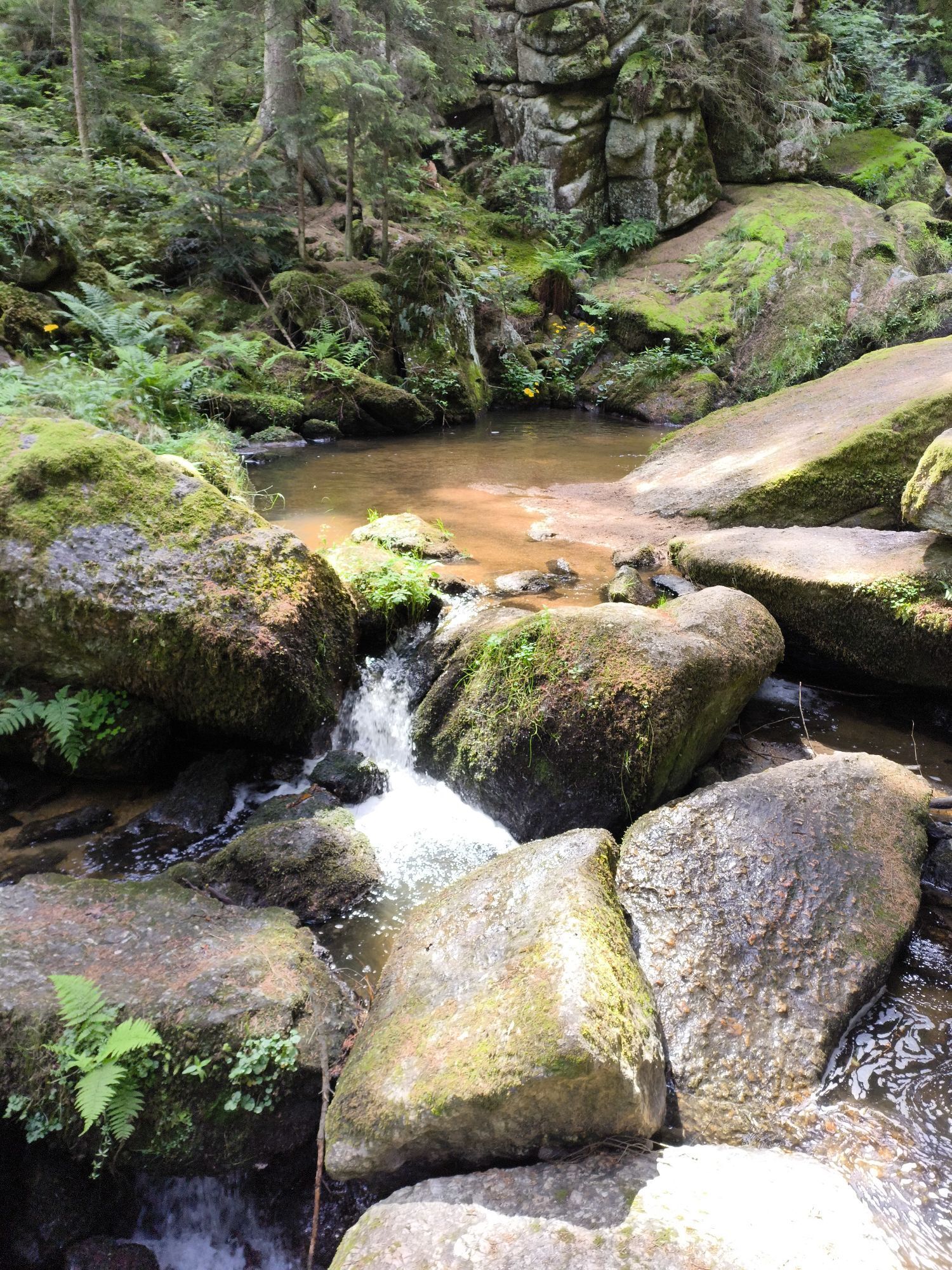
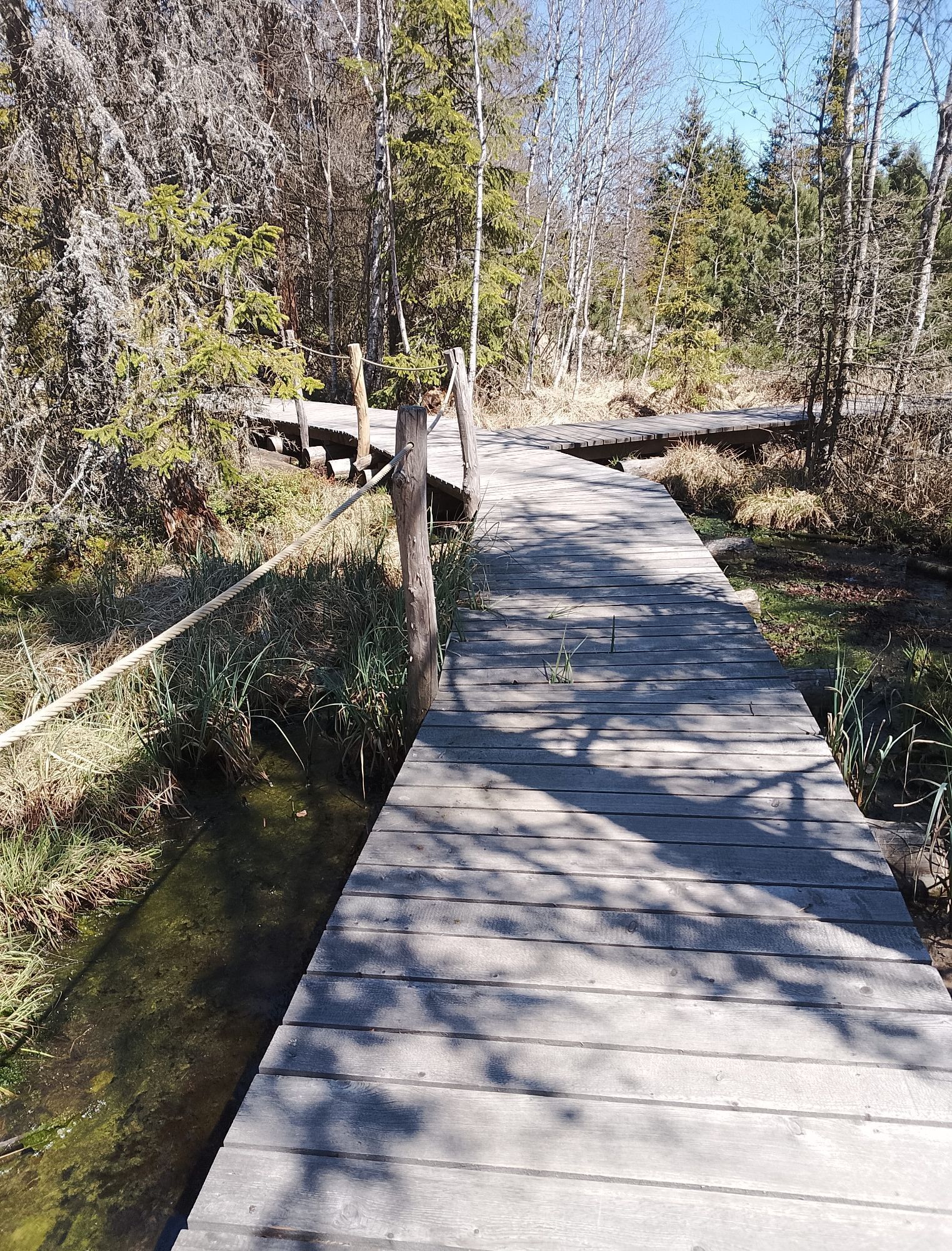
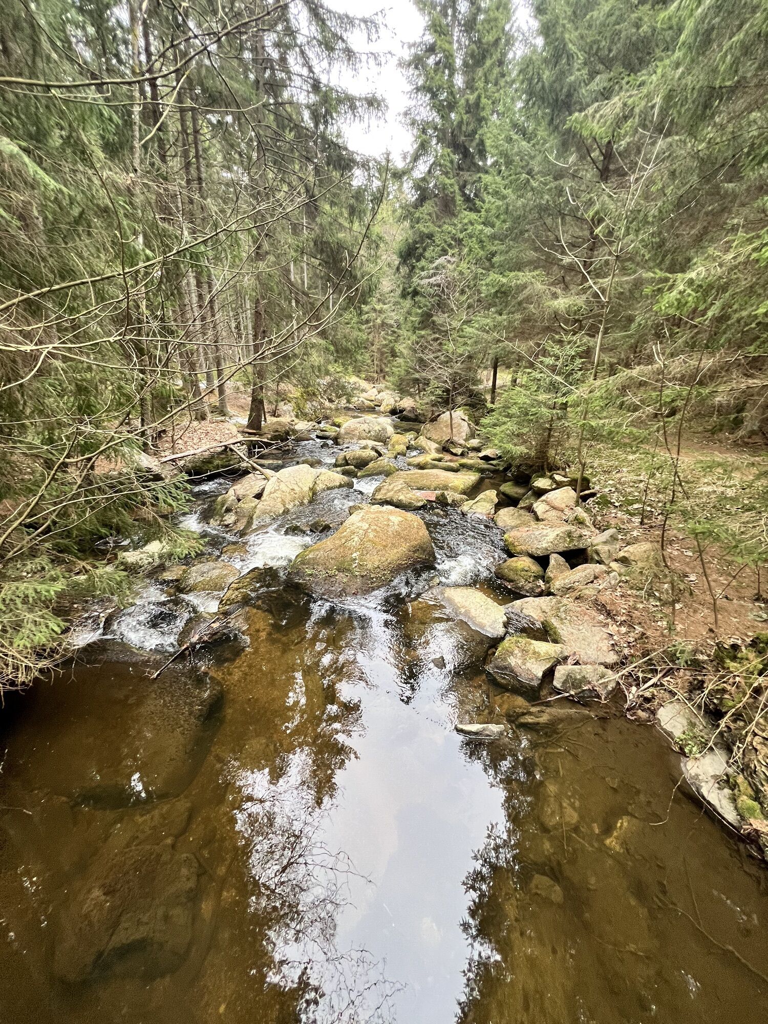
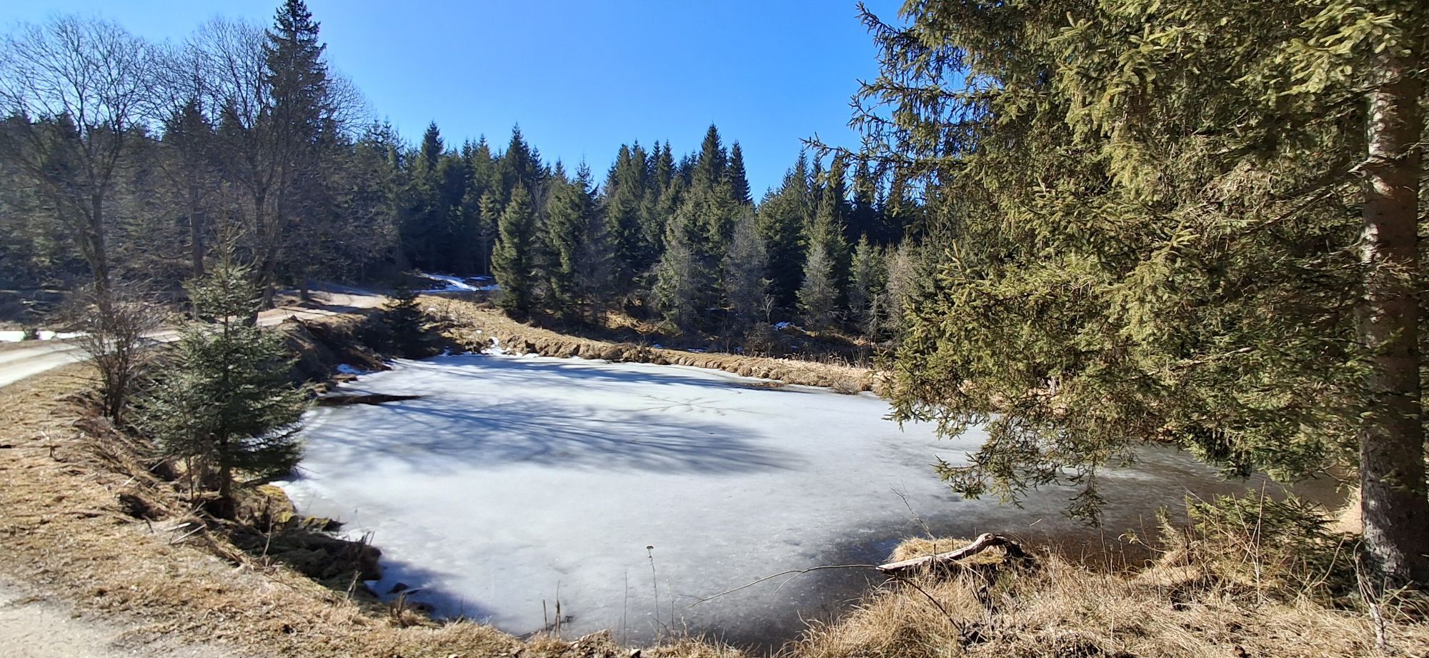
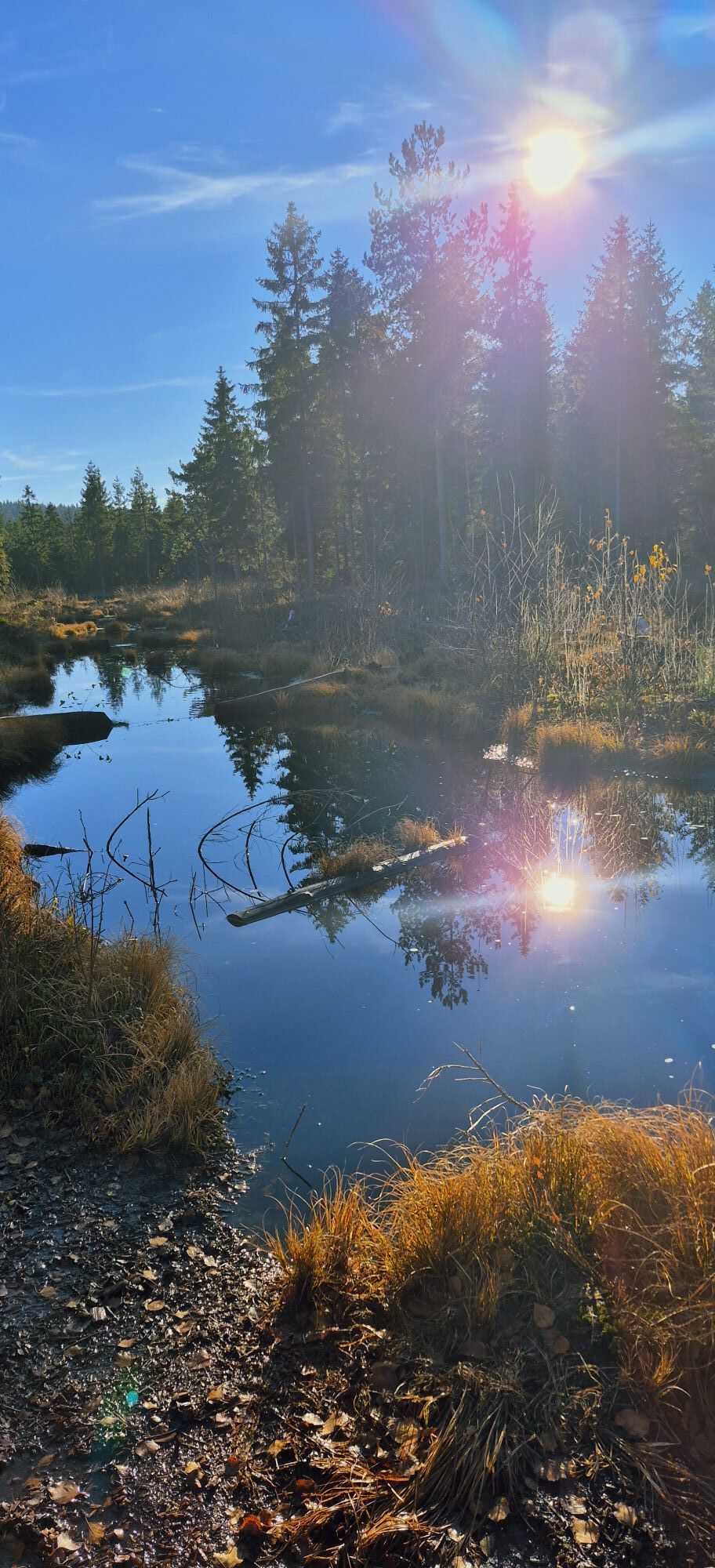
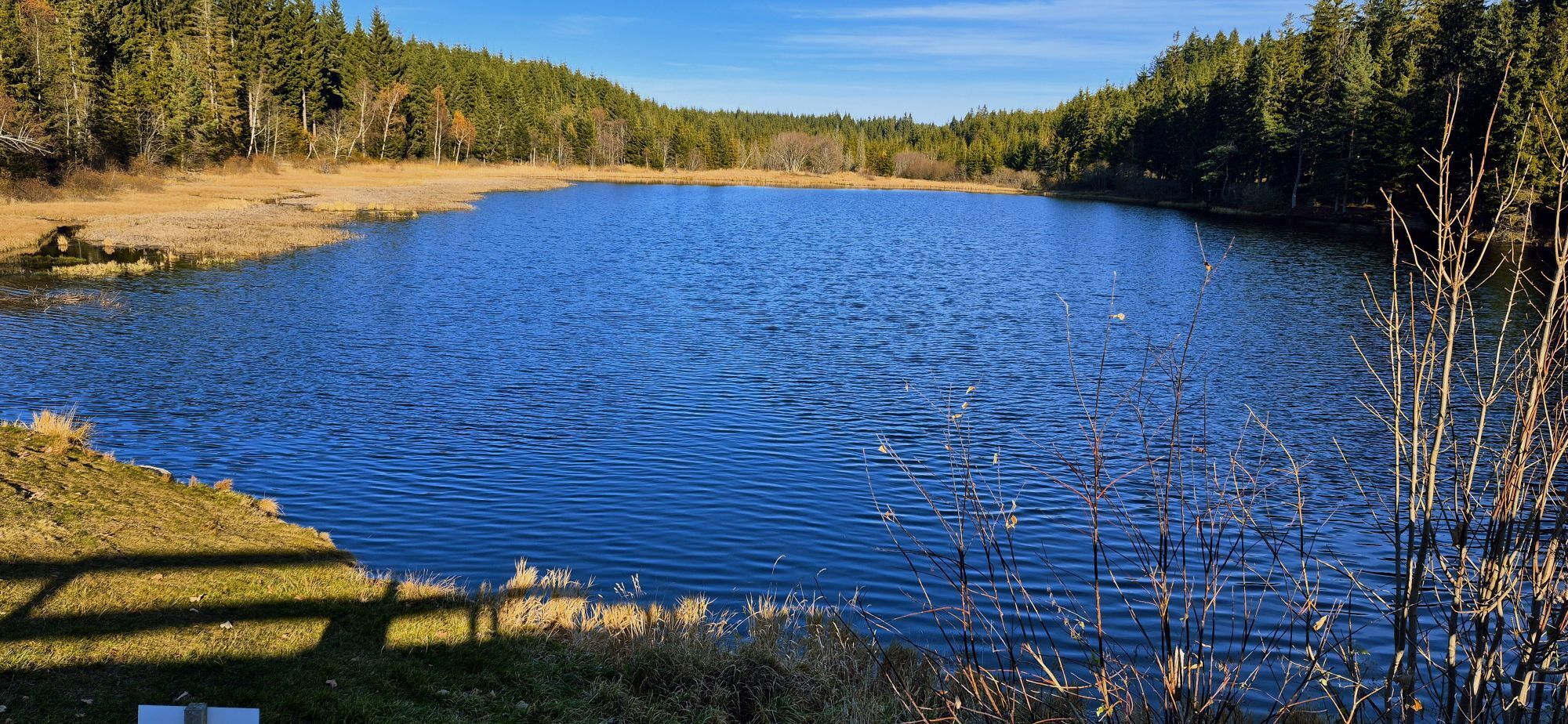
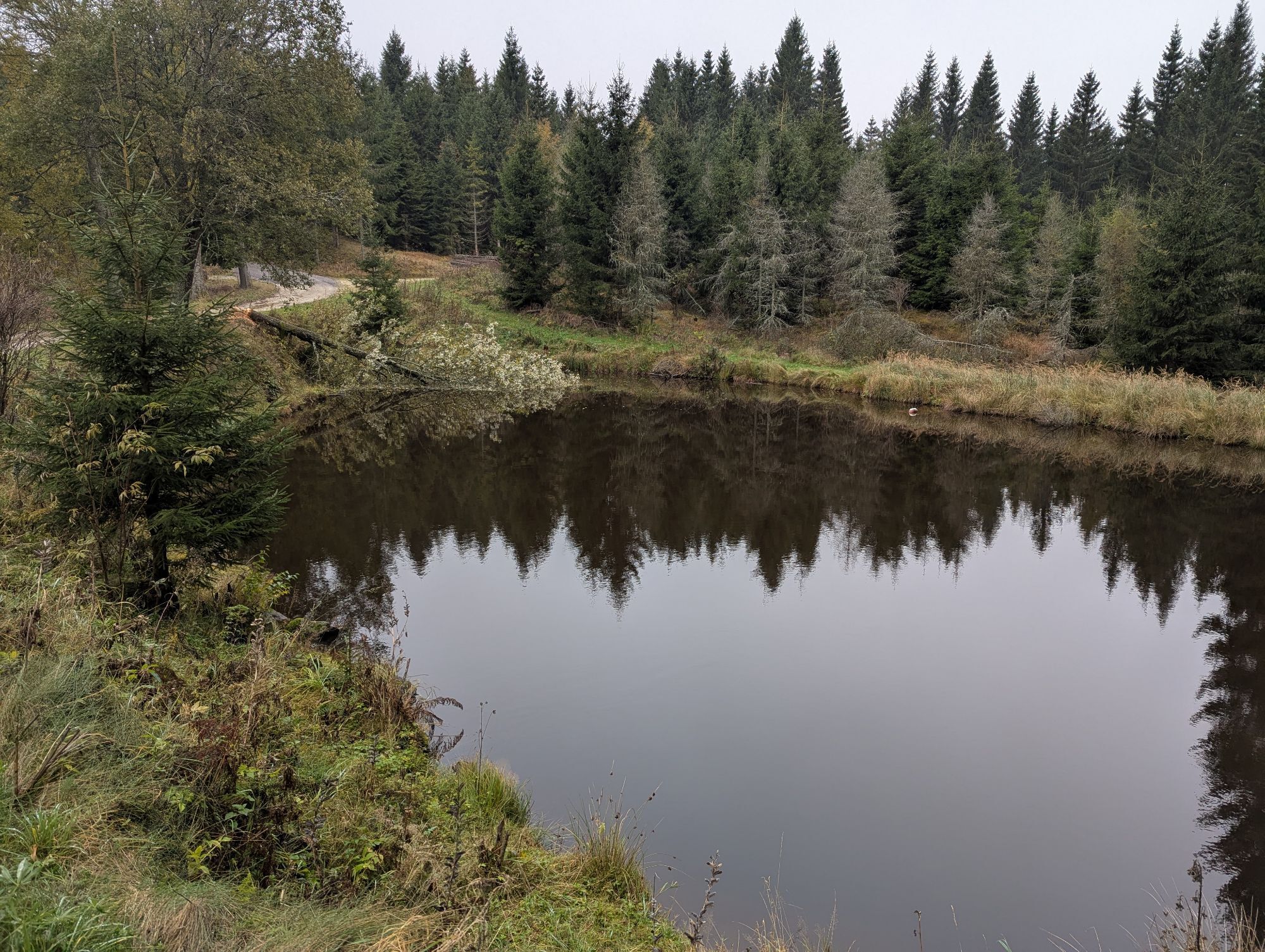
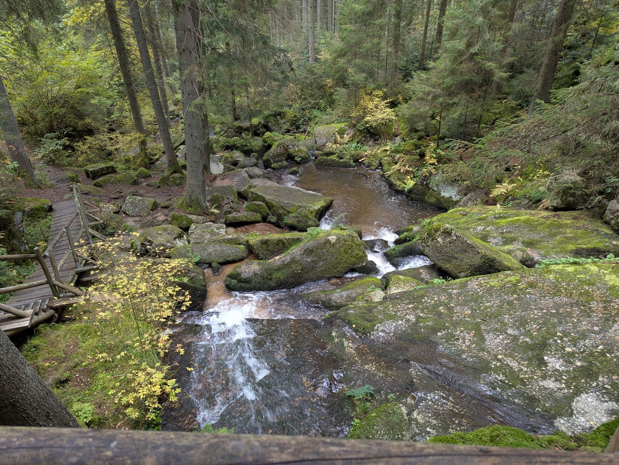
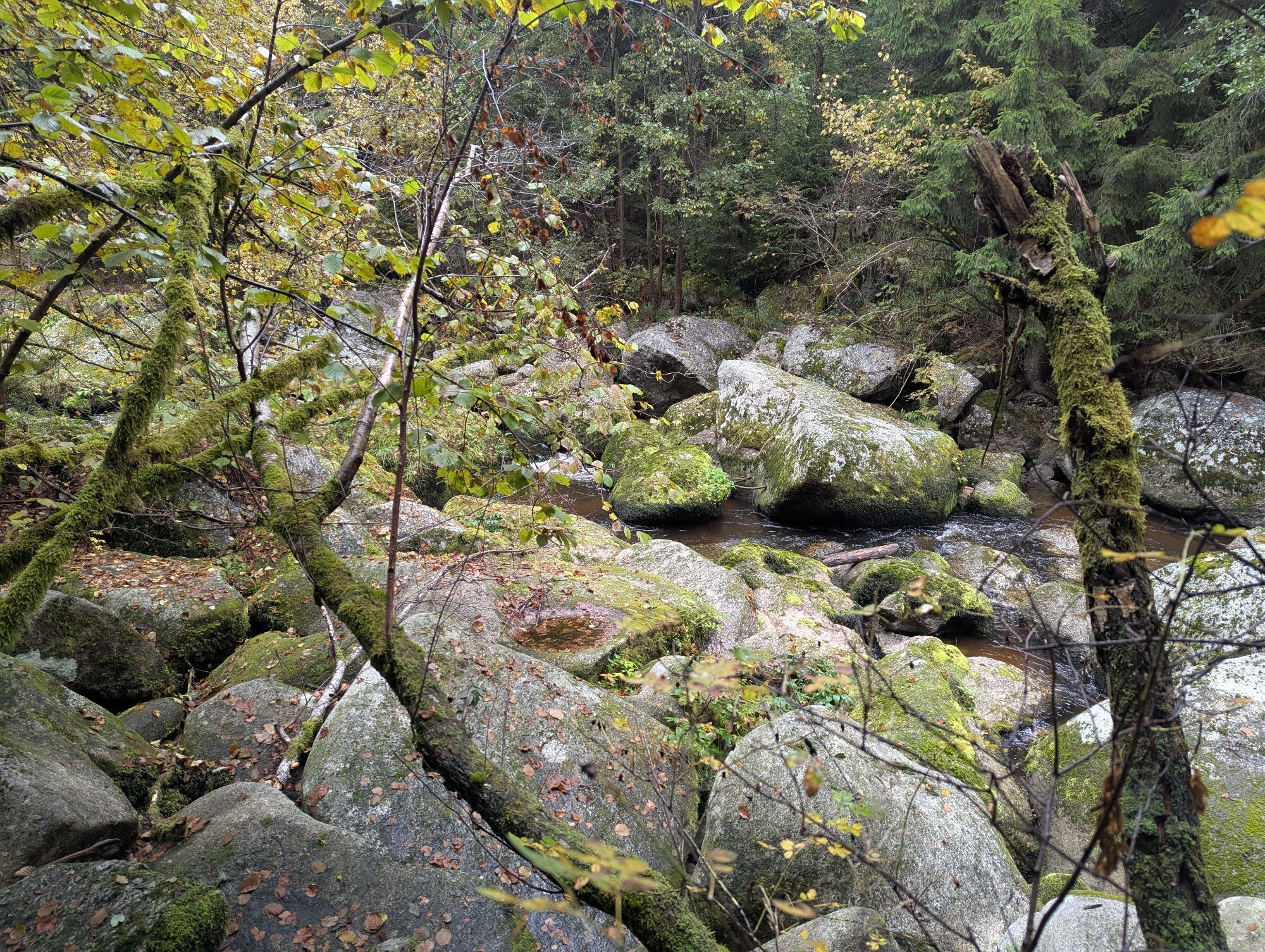
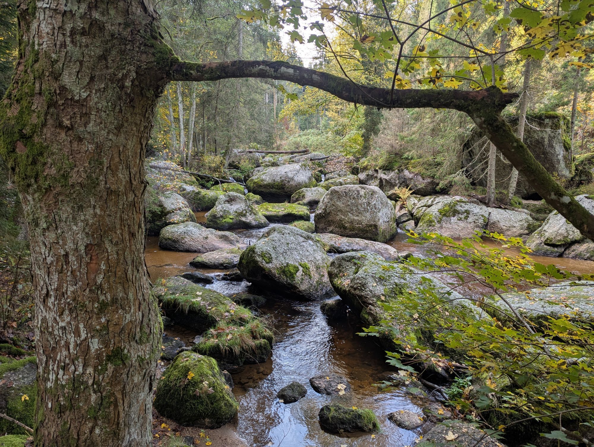
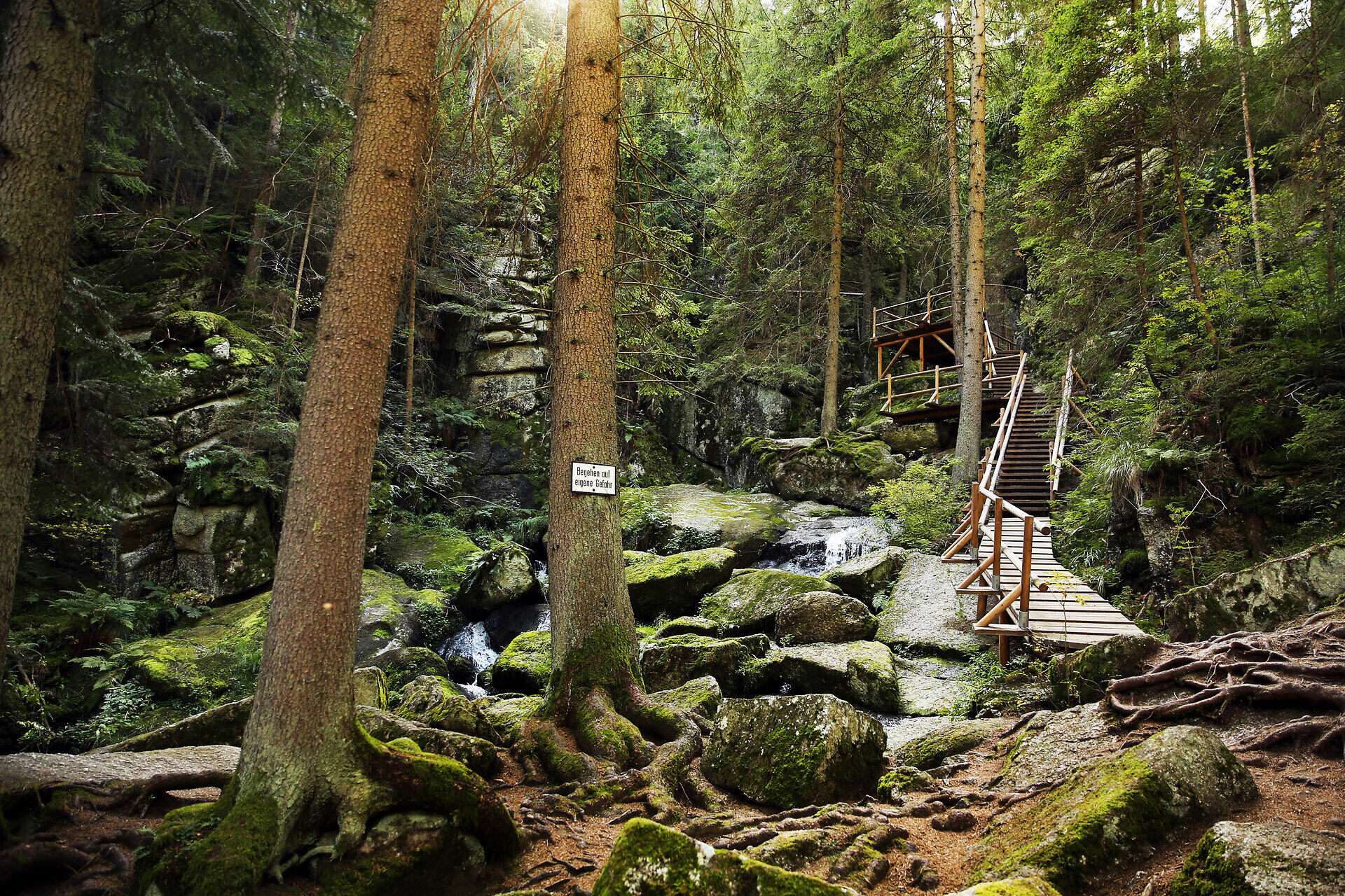
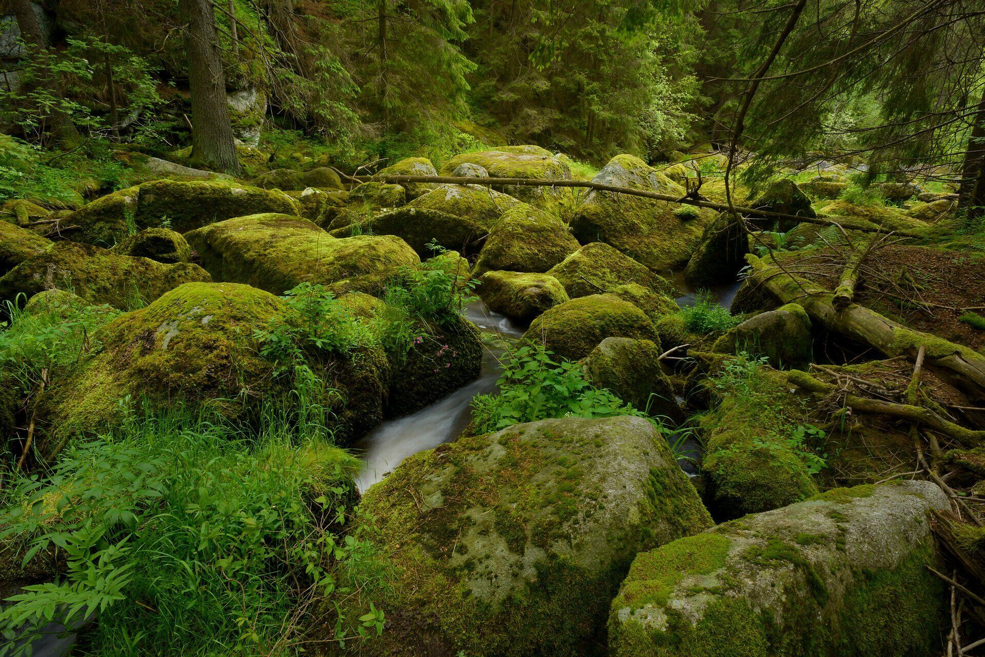
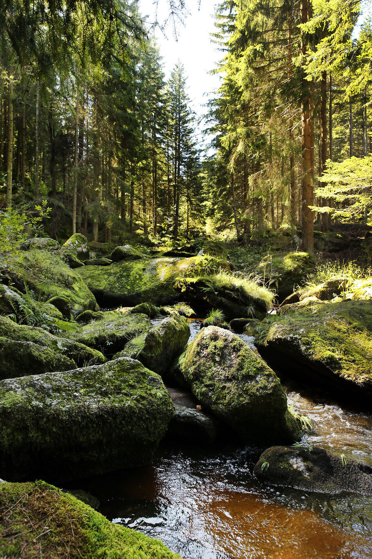
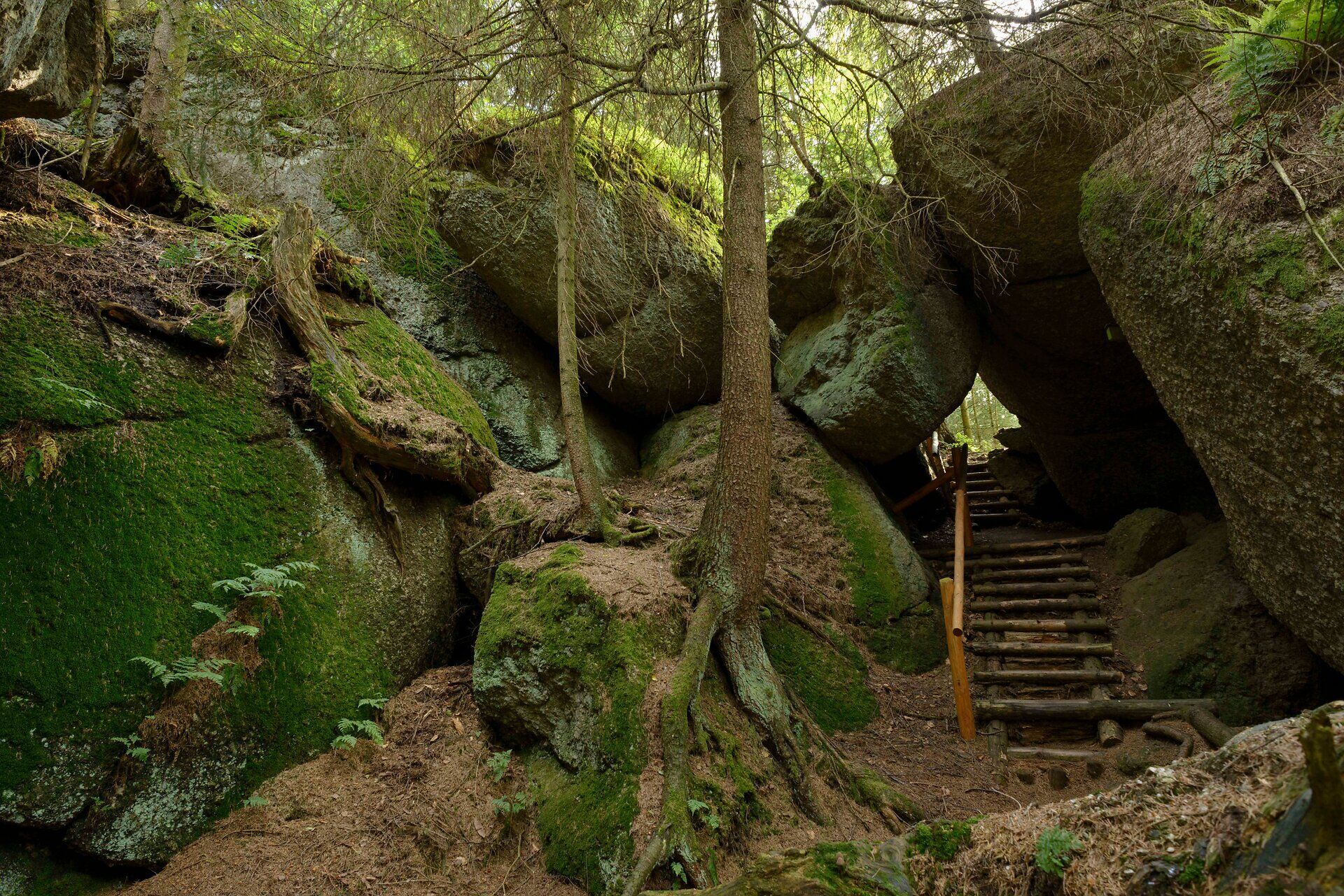
The Bärentrail leads to the most beautiful corners of the Waldviertel highlands. More and more people are discovering the advantages of being close to nature and want to experience it up close. The Bärentrail is a special offer for all those who really want to switch off while walking for a few days and immerse themselves intensively in a varied cultural and natural landscape. The attraction here lies in the diversity and tranquillity: natural moors, quiet forest rivers with playful cascades and wildly rushing stretches, mossy granite formations, forest gorges, streams hidden under rocks. The Bärentrail also opens up a previously almost unknown wild gorge on the Großer Kamp. There are two routes: the Great Bear Trail (4, 5 or 6-day hike) and the Little Bear Trail (1-2-day hike). There are also 6 family-friendly teddy bear trails and 2 sidesteps. The paw symbol is the bear trail logo and shows hikers the way.
Great Bear Trail:
6 stages or days | 107 km | 32:00 h
BÄRENWALD Arbesbach - Tannermoor - Arbesbach - Groß Gerungs - Höllfall - Paradies - Rappottenstein - Schütt - Lohnbachfall - Luaga Lucka - Altmelon - Meloner Au - BÄRENWALD Arbesbach
Small bear trail:
1 to 2 stages or days | 25 km | 8:00 h
BÄRENWALD Arbesbach - Glashüttenhäuser - Rosenegg - Galgen - Arbesbach - Arbesberg - Teufelsmauer - Altmelon - Meloner Au - Auwächter - Purrath - BÄRENWALD Arbesbach
6 teddy bear trails:
Teddy Bear Trail Lohnbachfall | 4.4 km | 1:20 h
Teddy Bear Trail Altmelon | 4.8 km | 1:30 h
Teddy Bear Trail Rappottenstein | 4.9 km | 1:30 h
Teddy Bear Trail Kirchbach | 8.2 km | 2:20 h
Teddy Bear Trail Arbesbach | 2.7 km | 1:00 h
Teddy Bear Trail Klein Wetzles | 4.3 km | 1:20 h
2 Sidesteps:
FELSENGARTEN | 6.5 km | 2:00 h
ARBESBERG | 1 km | 0:30 h

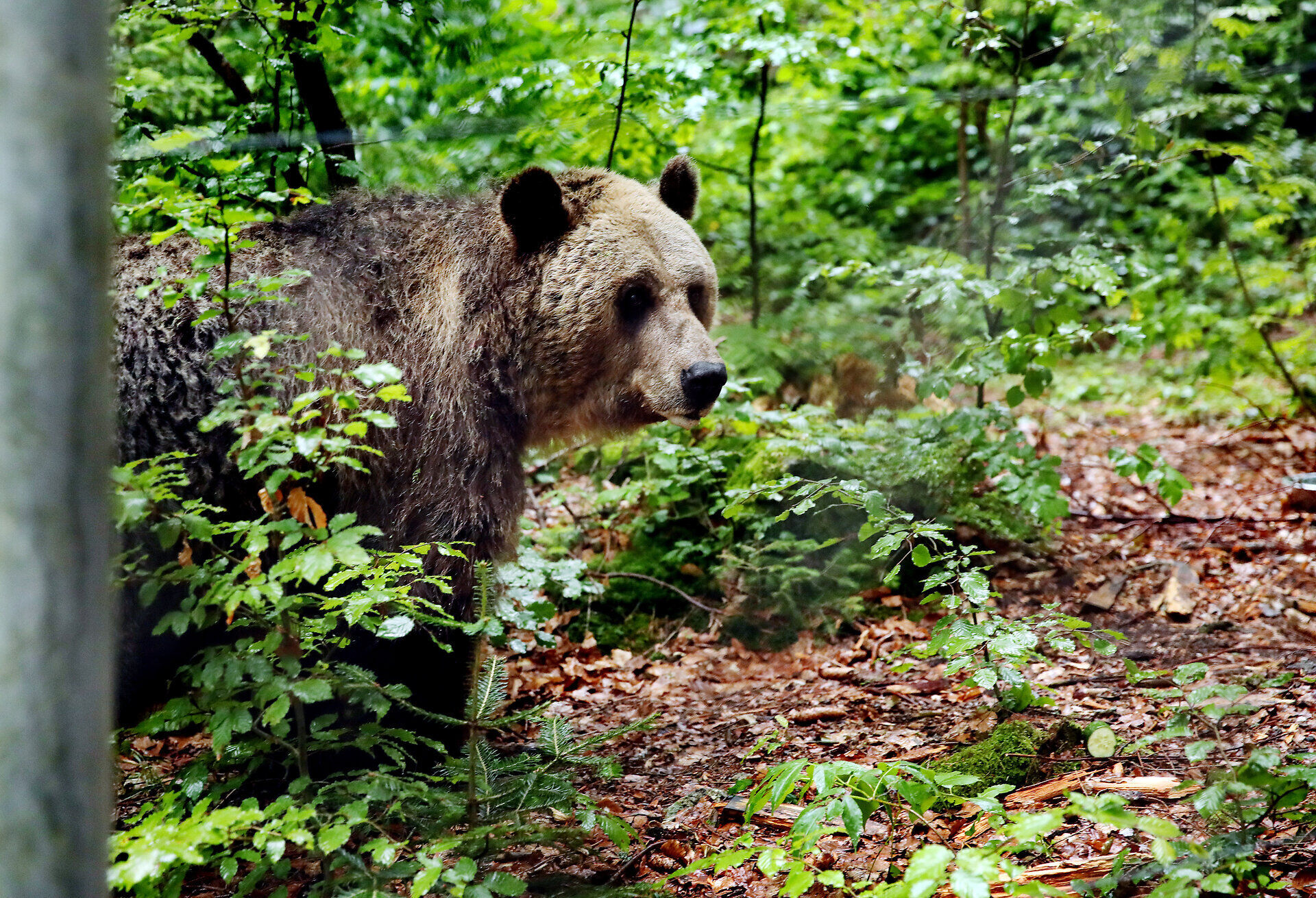

Stage 1: BÄRENWALD – Waldhofmoor – across the state border to OÖ/Liebenau, Rubner Pond – Tannermoor – Rammelhof – Arbesbach (21 km, 6.5 hours)
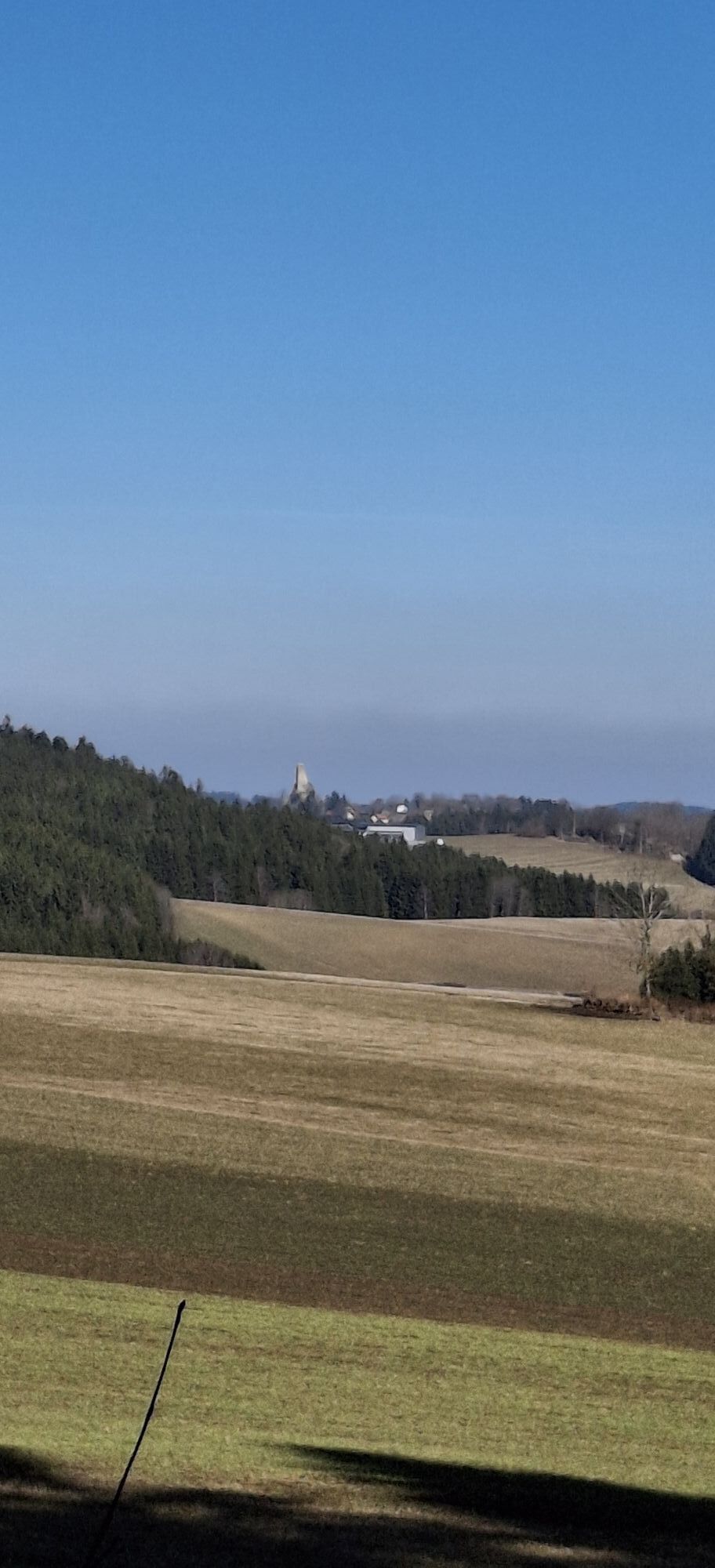
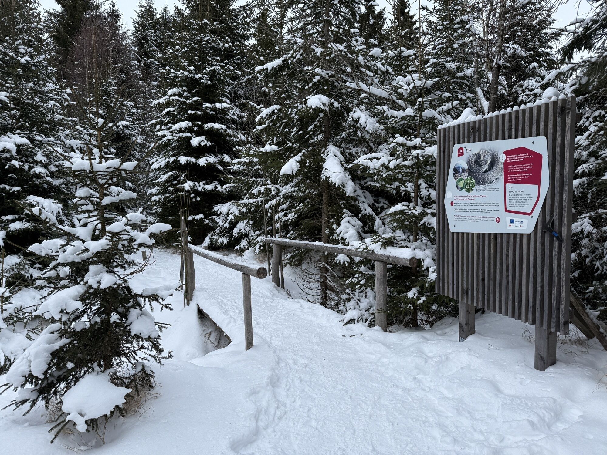
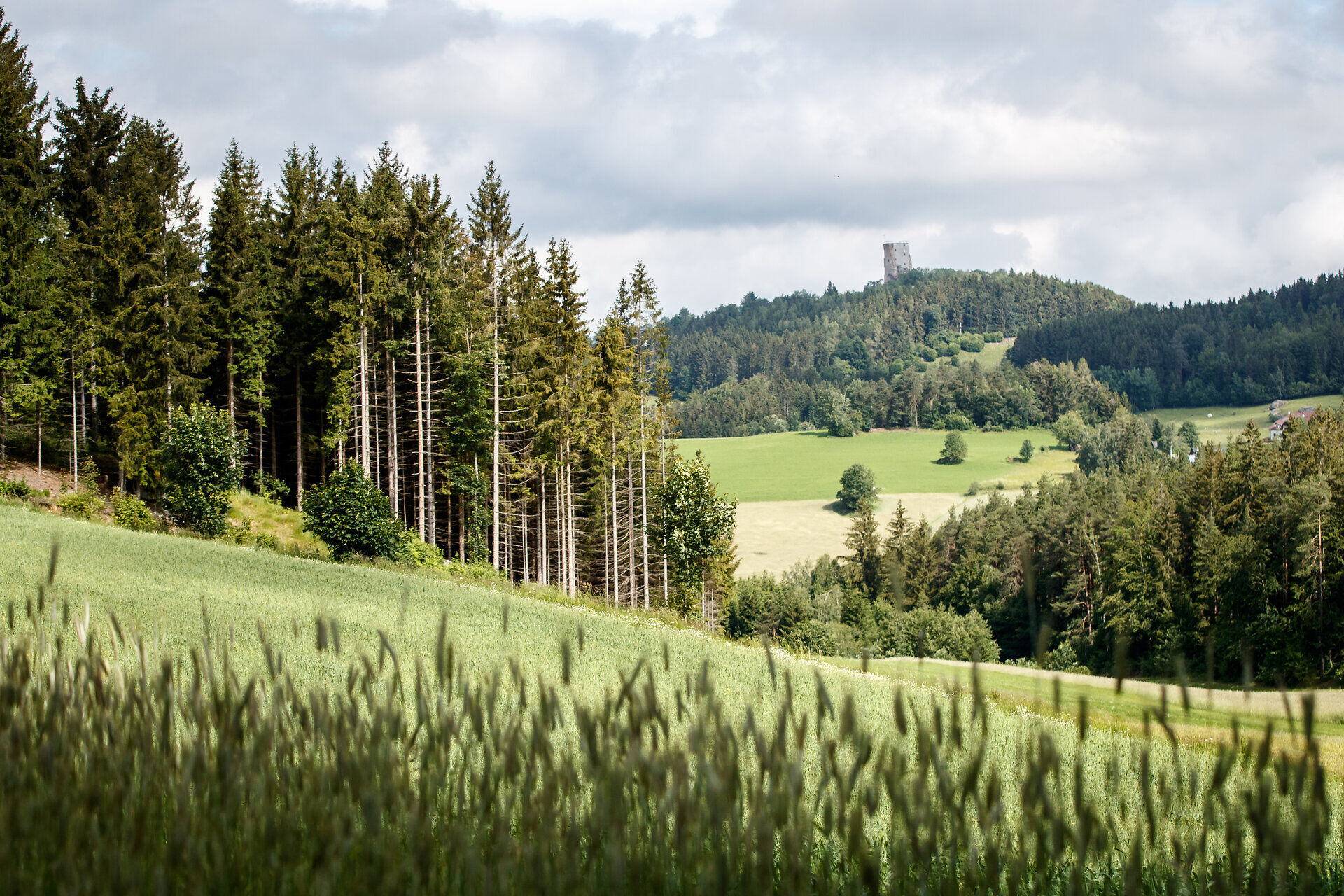
The trail starts at BÄRENWALD Arbesbach (parking lot, bus). Initially, it mostly leads through a scenic open landscape (with views of the Alps!) to the hidden Waldhofmoor. Afterwards, you cross the state border to Upper Austria (OÖ), follow the detour to Rubner Pond (kiosk, bathing pond) and to Tannermoor in the Liebenau municipality. Then you walk a short distance back on the same trail but in the opposite direction. Near the state border, turn left again and reach Arbesbach in the evening (21 km, 6.5 hours).
Stage 2: Arbesbach – Lehrmühle – Großer Kamp – Kampwald idyll – Antenfeinhöfen – Klein Wetzles – Zwettl Valley – Klaus Chapel – Groß Gerungs (22 km, 6.5 hours)
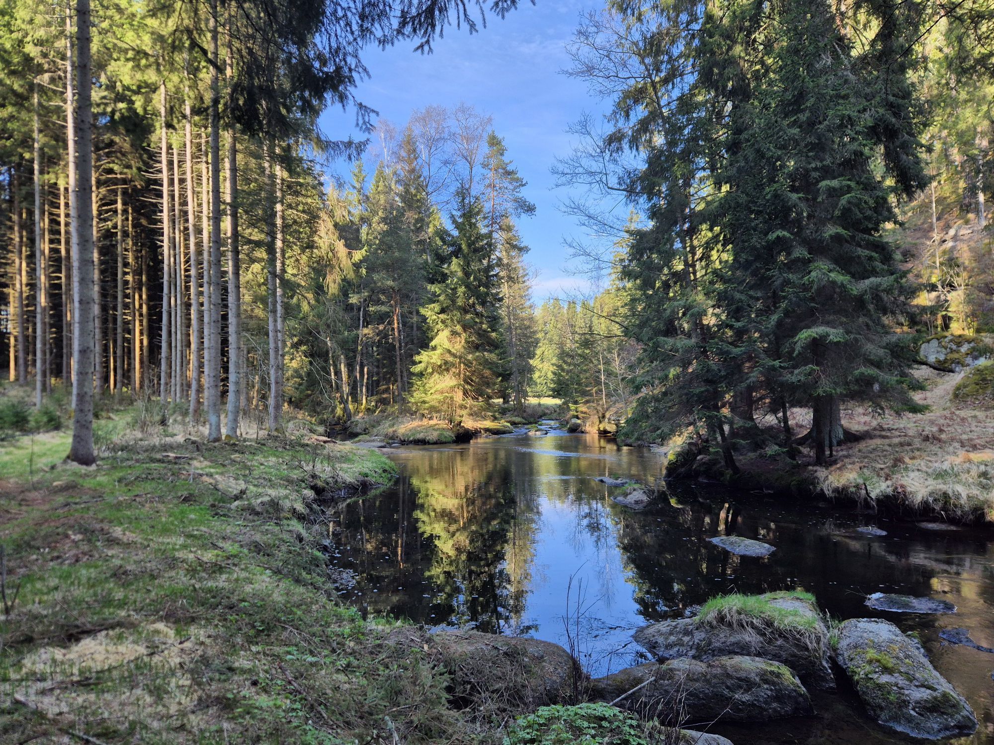
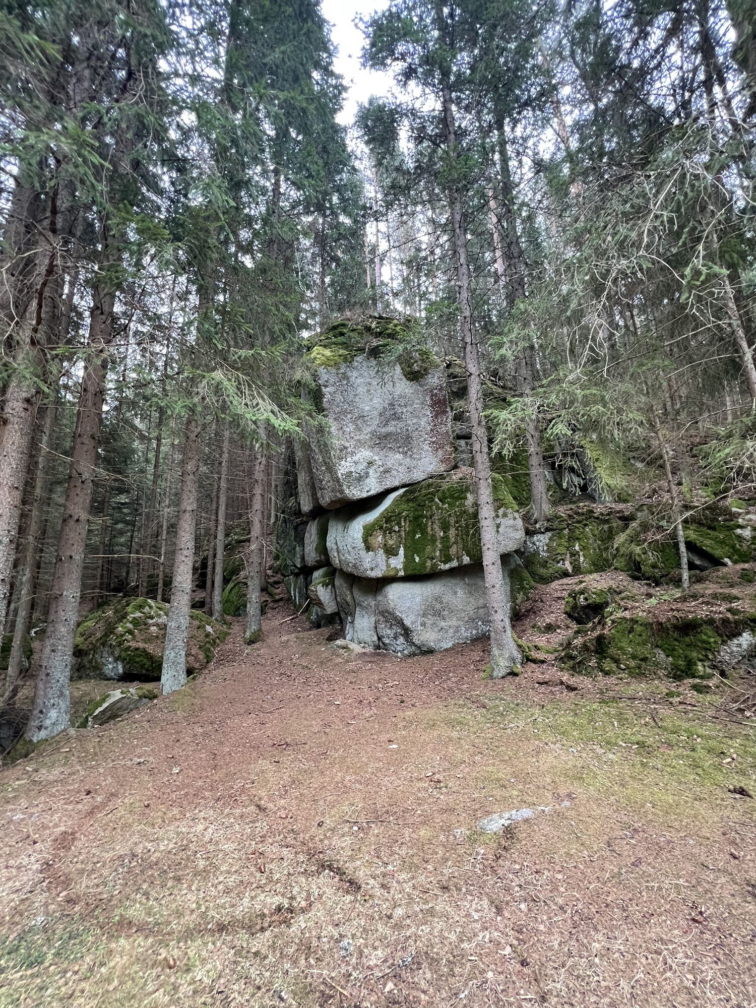
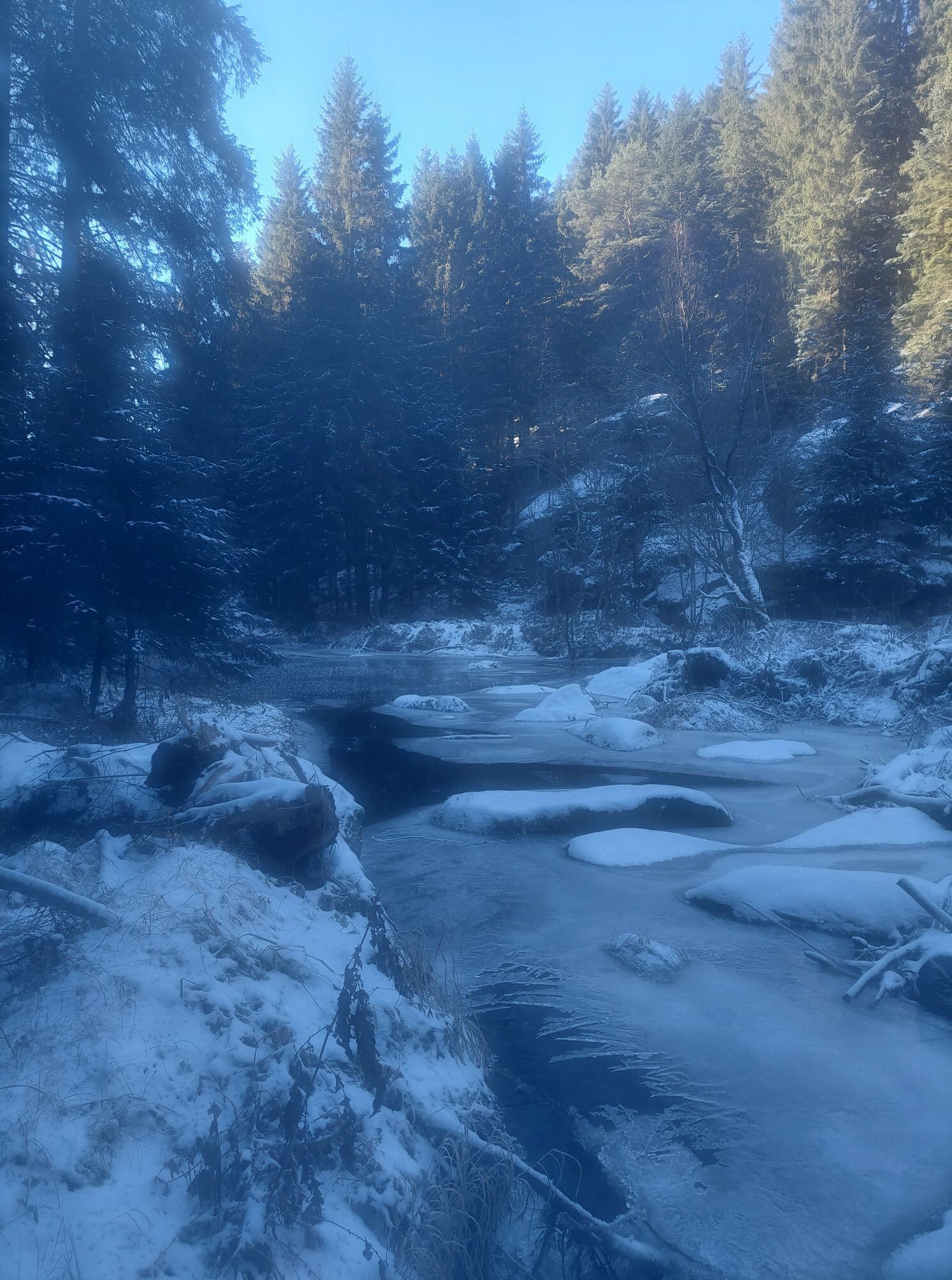
In the morning, a visit to the distinctive Arbesbach “Stockzahn” with its legendary view is recommended (the key is available at the Huber bakery). The Bärentrail leaves Arbesbach in the direction of “Steinberg” and then swings into the idyllic valley of the Große Kamp. After Lehrmühle, you enter a truly enchanted, detached forest valley with a wilderness touch: the Große Kamp rushes under sprawling veteran spruces over moss-covered granite blocks and forms many small waterfalls. The Bärentrail then crosses a bright, blueberry-rich coniferous forest and finally reaches the plateau of Antenfeinhöfen. Here you get a good insight into the gentle, agricultural use shaping the lovely Waldviertel cultural landscape.
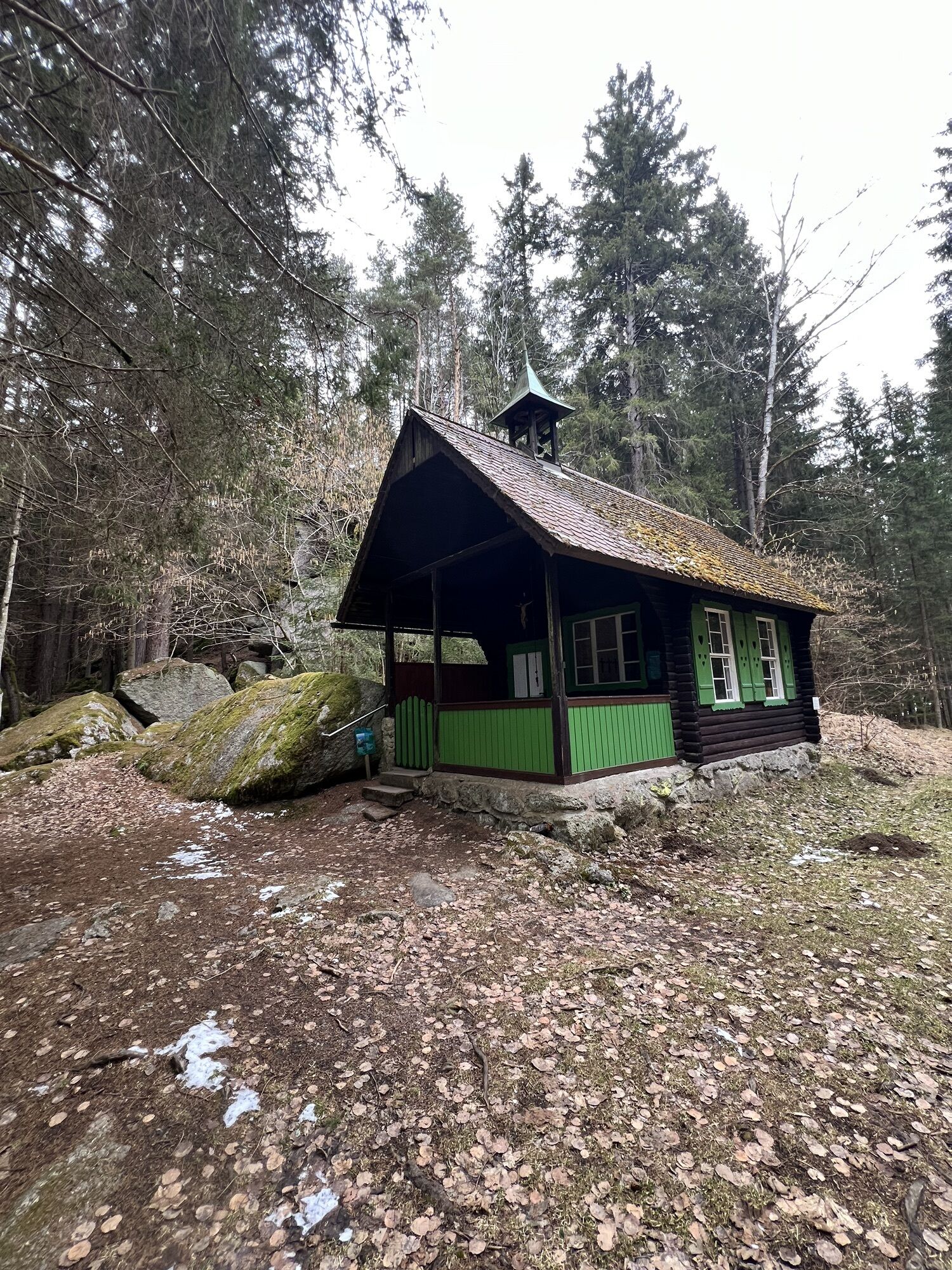
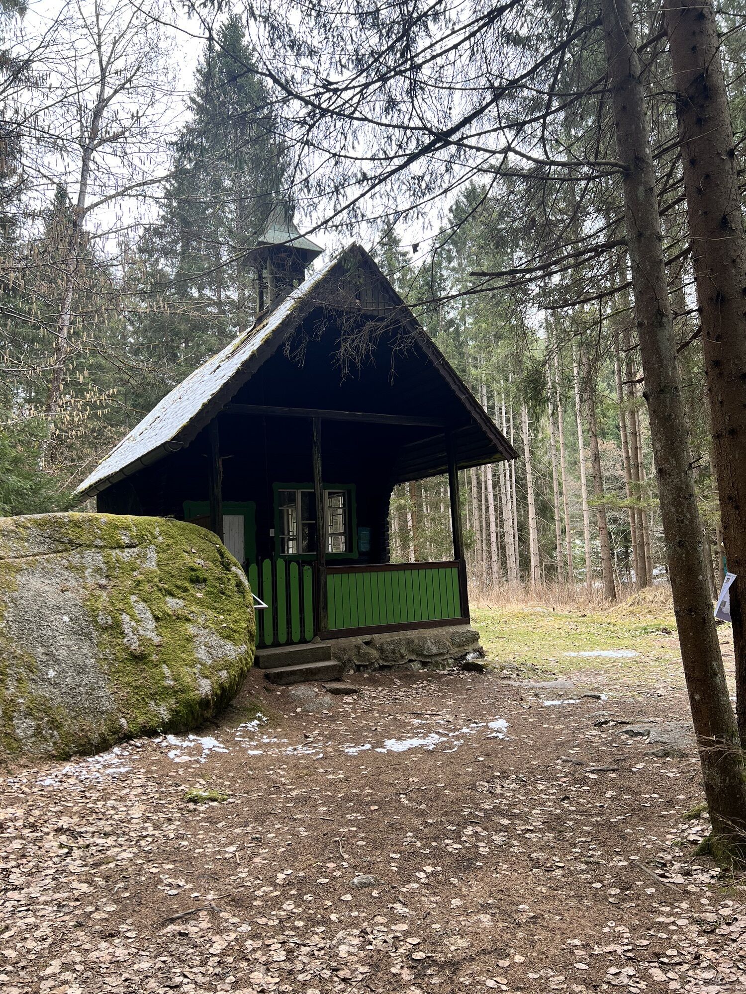
At the Waldviertler Hirschkoglhof, in the “center” of the scattered settlement near the village chapel, you can refresh yourself (refreshment spot, farm shop). Through the gently rolling landscape with viewpoints and species-rich flower meadows, the trail continues to Klein Wetzles and Kinzenschlag, where the Gasthof Einfalt awaits you (guesthouse, camping). If you reach Klein Wetzles, you can make a detour to the alpacas resident here (reservation required). After that, it goes downhill to the enchanting Klause (Klaus Chapel) in the Zwettl Valley – with granite castles in the forest and the refreshing Zwettl river. From here, it's not far to your stage destination Groß Gerungs. (22 km, 6.5 hours)
Stage 3: Groß Gerungs – Zwettl Valley – Weißmühle – Friesenhof – Wiesensfeld – Griesbach – Hammerschmiede – Kamp – Arbesbach (18 km, 5 hours)
Groß Gerungs lies embedded in an extremely picturesque cultural landscape with countless terraces and so-called “strip fields.” On the Bärentrail, you can intensely experience this unique curved and striped landscape that has also inspired many artists. The trail leads you, coming from the town, past the cardiovascular center (fruit tree culture and chapel of St. Corona). After the trail guides you through the shady Zwettl Valley, you reach a sunlit section across a gentle ridge that particularly shows you this strip fields landscape. It is rightly called “The Tuscany of the North.” You get to know a part of the elongated village Wiesensfeld and pass through a forested section to Griesbach. In Griesbach, you can take a detour to the village (village inn/Kastner store) or continue further over lovely, open hills and bright forests toward Hammerschmiede (museum) on the Große Kamp. From there, it is not far to Arbesbach. (18 km, 5 hours)
Stage 4: Arbesbach – Kamp – Hammerschmiede – “Seven Sacraments” – Höllfall – Hausmühle – Gorge at Große Kamp – Paradies – Kirchbach – Rappottenstein (16 km, 5 hours)
From Arbesbach, the Bärentrail leads you to the Große Kamp and the historic Hammerschmiede (museum). Via the “Seven Sacraments,” you reach the wild-romantic Höllfall. After leaving the forest gorge, you hike through a charming, open cultural landscape, past Hausmühle (refreshment spot, organic goat farm), to the hidden “Gorge at Große Kamp” (surefootedness required, hiking at your own risk, easier alternative possible). Below Heumühle awaits the lovely “Paradies.” Then you can decide: either left to Kirchbach (food, accommodation, camping) or to Rappottenstein (food, accommodation) (16 km, 5 hours).
Stage 5: Variant 1 to Pretrobruck: Rappottenstein – forest bath – passing below Rappottenstein Castle – Schütt – Wiesmühle – Lohnbachfall – Zeller Steg – Pretrobruck (12 km, 3.5 hours)
Variant 2 to Altmelon: Rappottenstein – forest bath – passing below Rappottenstein Castle – Schütt – Wiesmühle – Lohnbachfall – Zeller Steg – Renngasse – Perwolfs – Luaga Lucka – Altmelon (19 km, 6 hours)
If you start from Kirchbach, you must first hike the Bärentrail to Rappottenstein. From Rappottenstein, you descend into the valley of the Kleine Kamp, to the forest bath (buffet). Further upstream, you find enchanted, granite-blocked river sections called “Schütt.” Perhaps you want to take a detour to the mighty Rappottenstein Castle? Above the Schütt, you mostly hike through wide hollows and past Wiesmühle to Lohnbachfall, a real waterfall in a rather dramatic rock gorge. At Zeller Steg, you can either go right to Pretrobruck (variant 1: 12 km, 3.5 hours from Rappottenstein; food and accommodation) or continue left to Altmelon (variant 2: 19 km, 6 hours from Rappottenstein). On the way, you pass Renngasse and Perwolfs and can experience the rocky natural wonder of Altmelon, the “Luaga Lucka.”
Stage 6: Variant 1 from Pretrobruck: Pretrobruck – Roßberg – Renngasse – Perwolfs – Luaga Lucka – Altmelon – Meloner Au – Auwächter – Purrath – BÄRENWALD (19 km, 6 hours)
Variant 2 from Altmelon: Altmelon – Meloner Au – Auwächter – Purrath – BÄRENWALD Arbesbach (10 km, 3 hours)
If you start from Pretrobruck (variant 1: 19 km, 6 hours pure walking time to BÄRENWALD), you hike over Roßberg, Renngasse, through Perwolfs and the Luaga Lucka to Altmelon. From Altmelon, you pass through Meloner Au (an internationally important moor conservation area) and past the “Auwächter” to Purrath. Via a scenic forest edge path (with views of Ötscher), you reach BÄRENWALD again. If you start this stage from Altmelon (variant 2: 10 km, 3 hours), you first hike through Meloner Au and after a pleasant walk over Purrath, return to the starting point at BÄRENWALD.
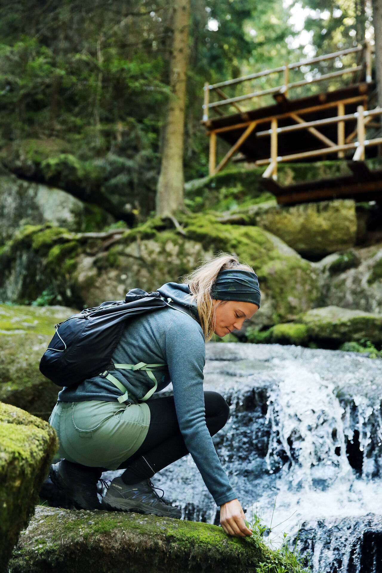
Good hiking shoes, rain jacket. Backpack with drink and snack.
In wet or icy conditions, exercise special caution in the gorge at Kamp and at Lohnbachfall. Surefootedness required, protected climbing routes available.
Via the B 124, about 25 km southwest of Zwettl
You don’t need a car to hike the Bärentrail! Would you like to complete all days of the Great Bärentrail from accommodation in Arbesbach, Groß Gerungs, Rappottenstein, Pretrobruck, or Altmelon? We have prepared the exact (bus) schedule for you: www.baerentrail.at/oeffi-guide
Right in front of the bear park
http://www.baerentrail.at/
Bärenwald: +43 2813 7604 | www.baerenwald.at
Altmelon: +43 2813 292
Arbesbach: +43 2813 7000
Rappottenstein: +43 2828 8240
Groß Gerungs: +43 2812 8611
Restaurants & accommodations along the route can be found at: www.baerentrail.at/essen-schlafen
Plan enough time, maybe also take a day off from hiking in between. There are plenty of things to explore or simply relax in all the towns along the way.
Webové kamery z prehliadky

Obľúbené výlety v okolí
-
4,3
Wandern im Liebenauer Moor
svetloTuristika 4,16 km -
4,4
TiWaLi Kamptal-Weißenbach-Runde
svetloTuristika 10,6 km -
4,7
Höllfall und Lohnbachfall
Turistika 13,8 km -
4,6
Rappottenstein
svetloTuristika 10,1 km -
4,7
Bärnkopf Dürnbergstrecke
strednáMountainbike 18,7 km -
5,0
Lohnbachfallweg
svetloTuristika 11,8 km -
4,2
Unterweissenbach - Hirschalm
strednáTuristika 16,5 km -
5,0
Liebenau Nr. 31 Kampursprung
svetloTuristika 10,3 km -
4,9
Wasserwunderweg Zwettl
Turistika 19,2 km -
4,5
Roiten - Satzling - Hoher Stein - Gasthaus König
strednáTuristika 9,89 km
Turistika a stopovanie


Nenechajte si ujsť ponuky a inšpiráciu na ďalšiu dovolenku
Vaša e-mailová adresa bol pridaný do poštového zoznamu.





