



Taffa-Kamp-Rundweg




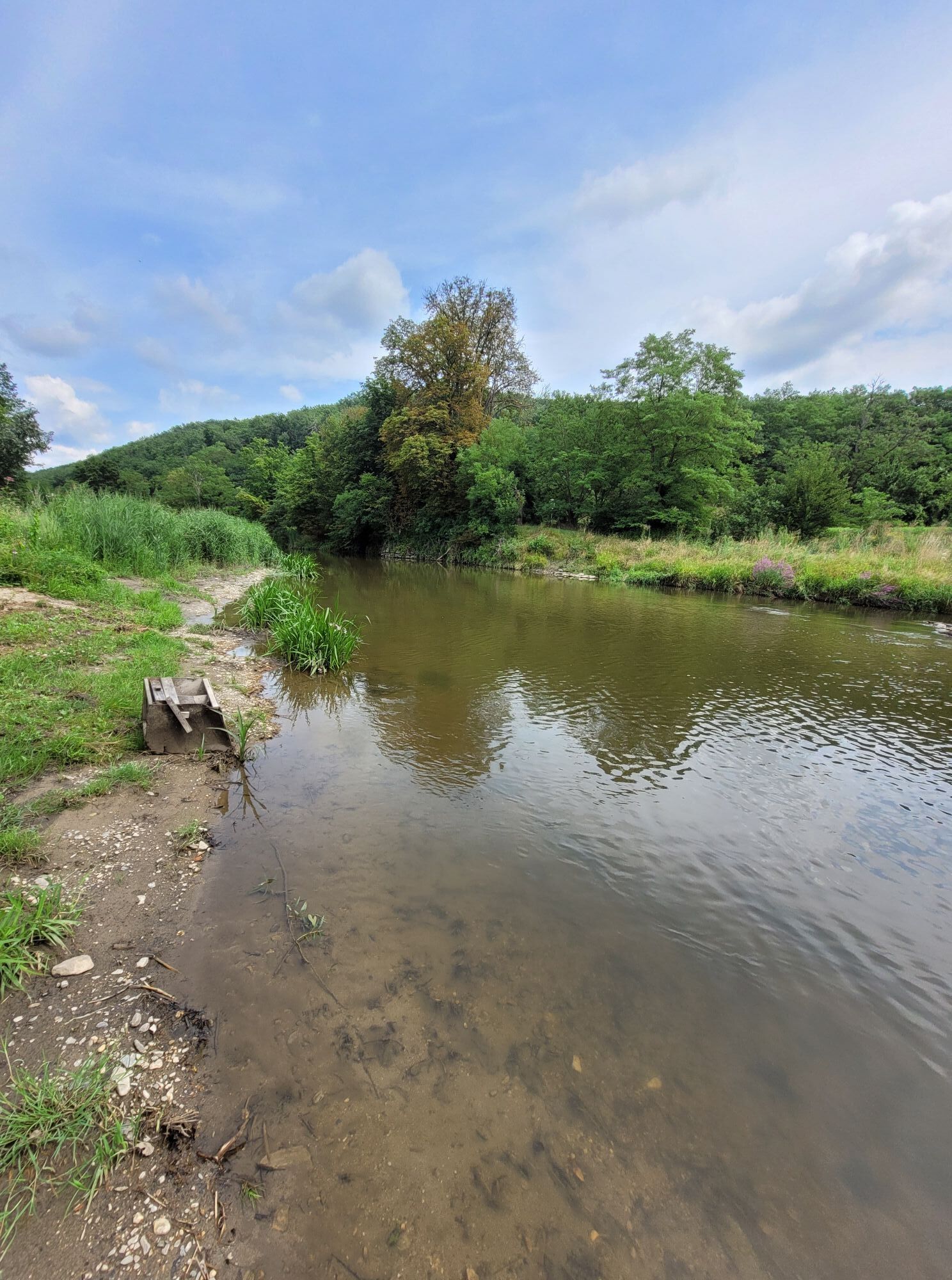


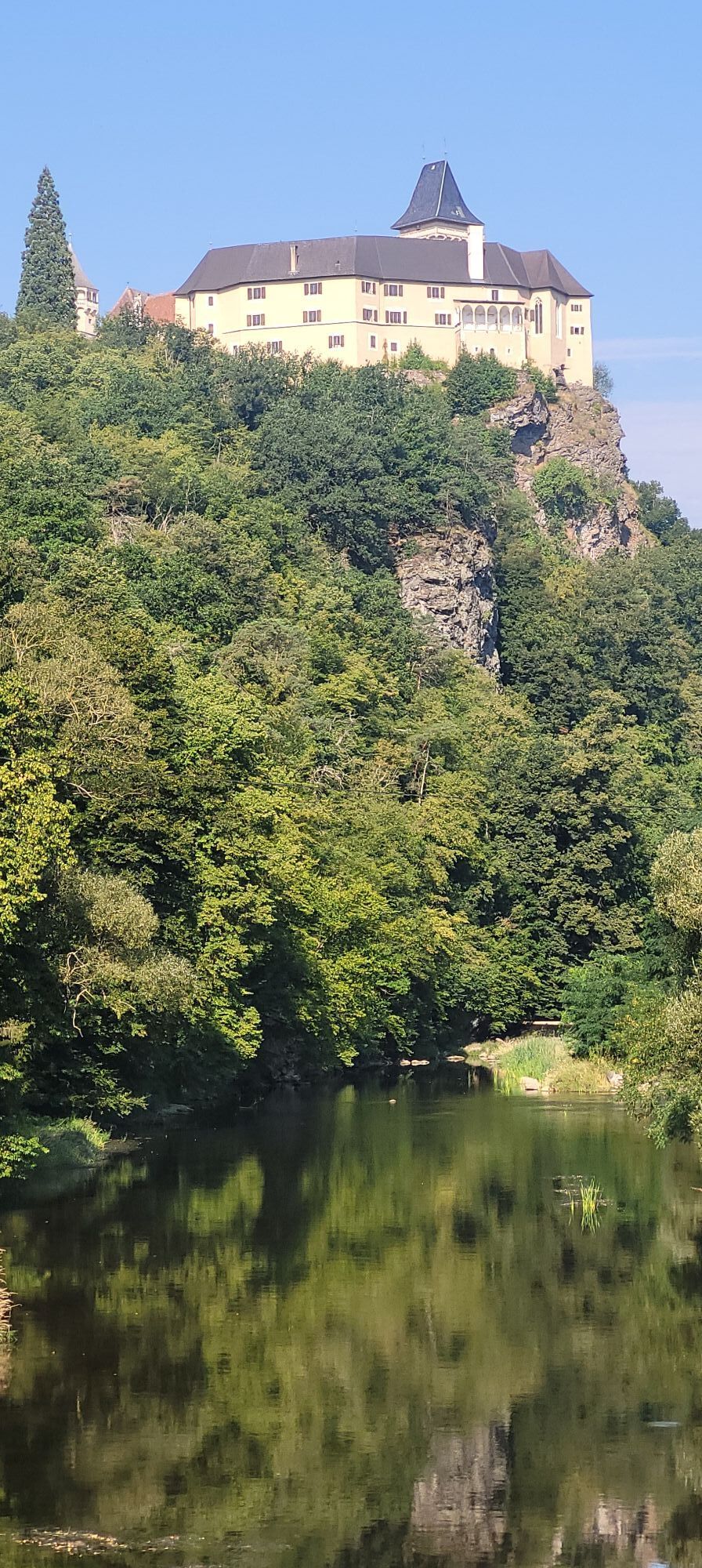


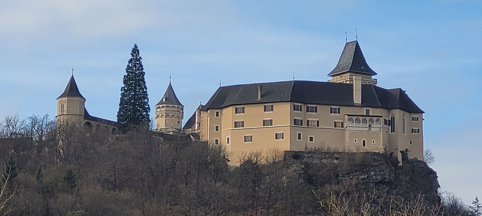
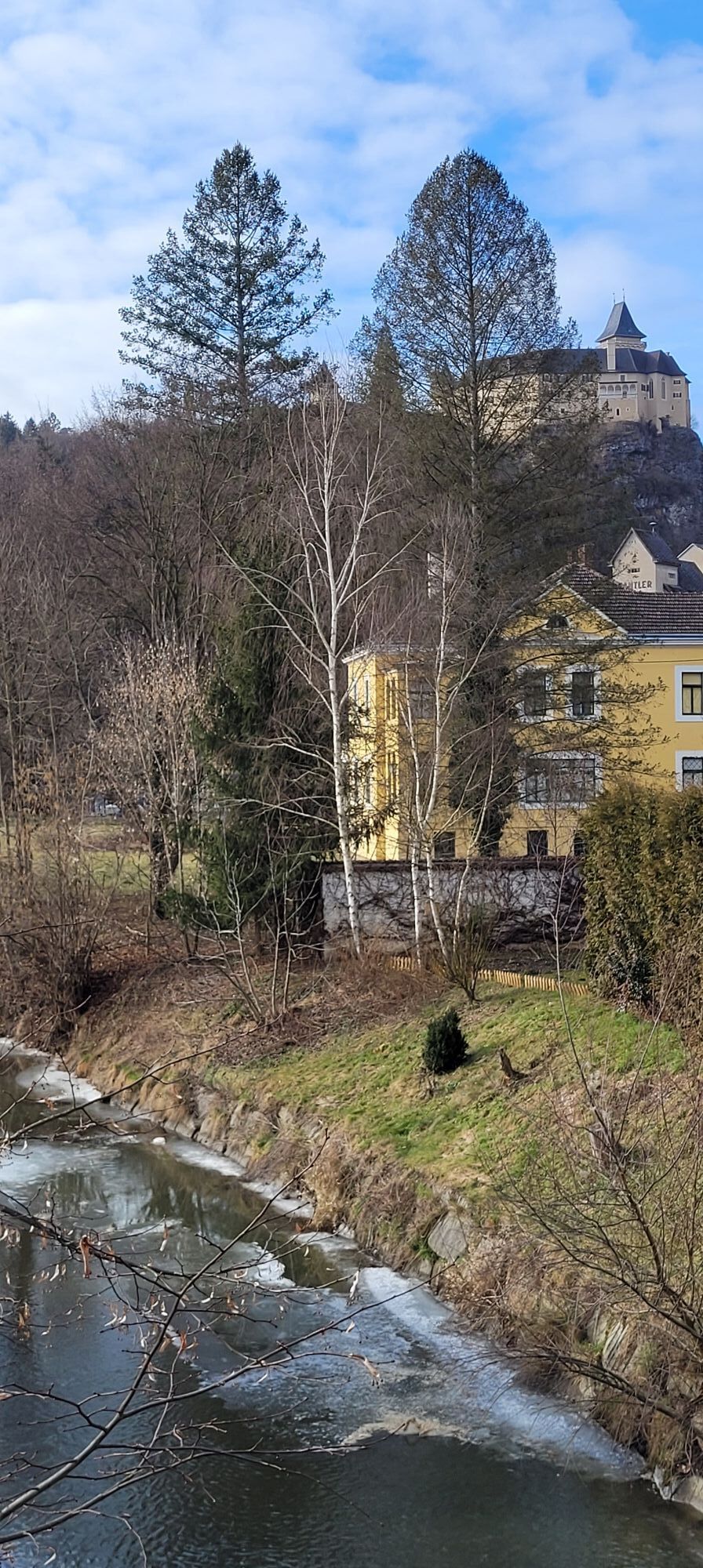
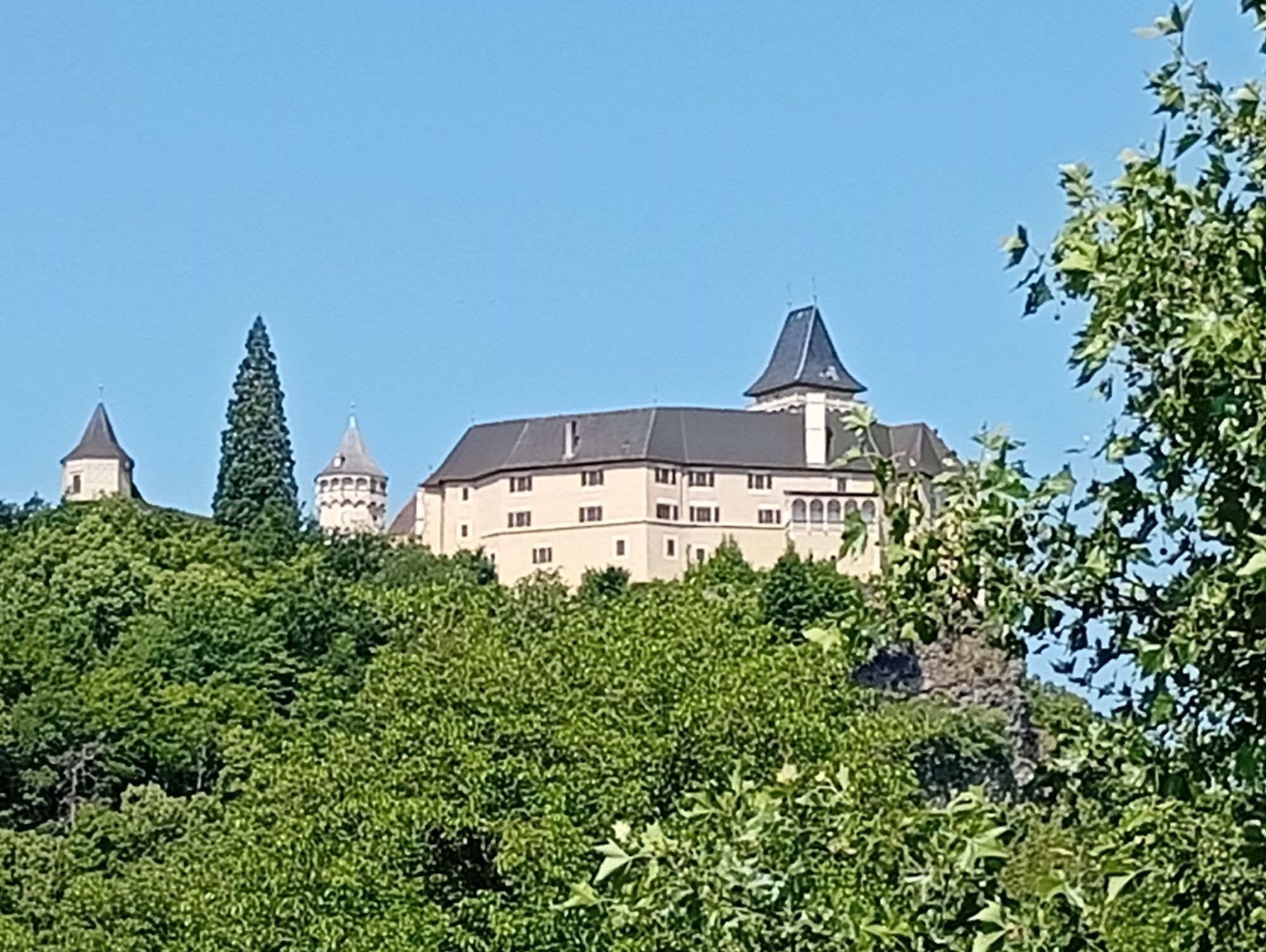
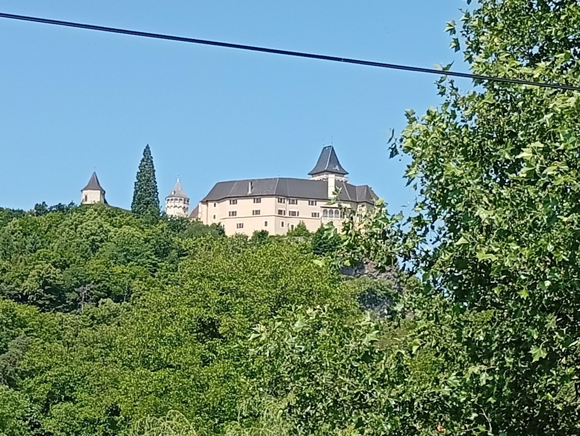

The summer resort of Rosenburg, known far beyond the borders of the country, with its dozens of Wilhelminian-style villas, lies in the valley of the Kamp, overlooked by the castle of the same name. The...
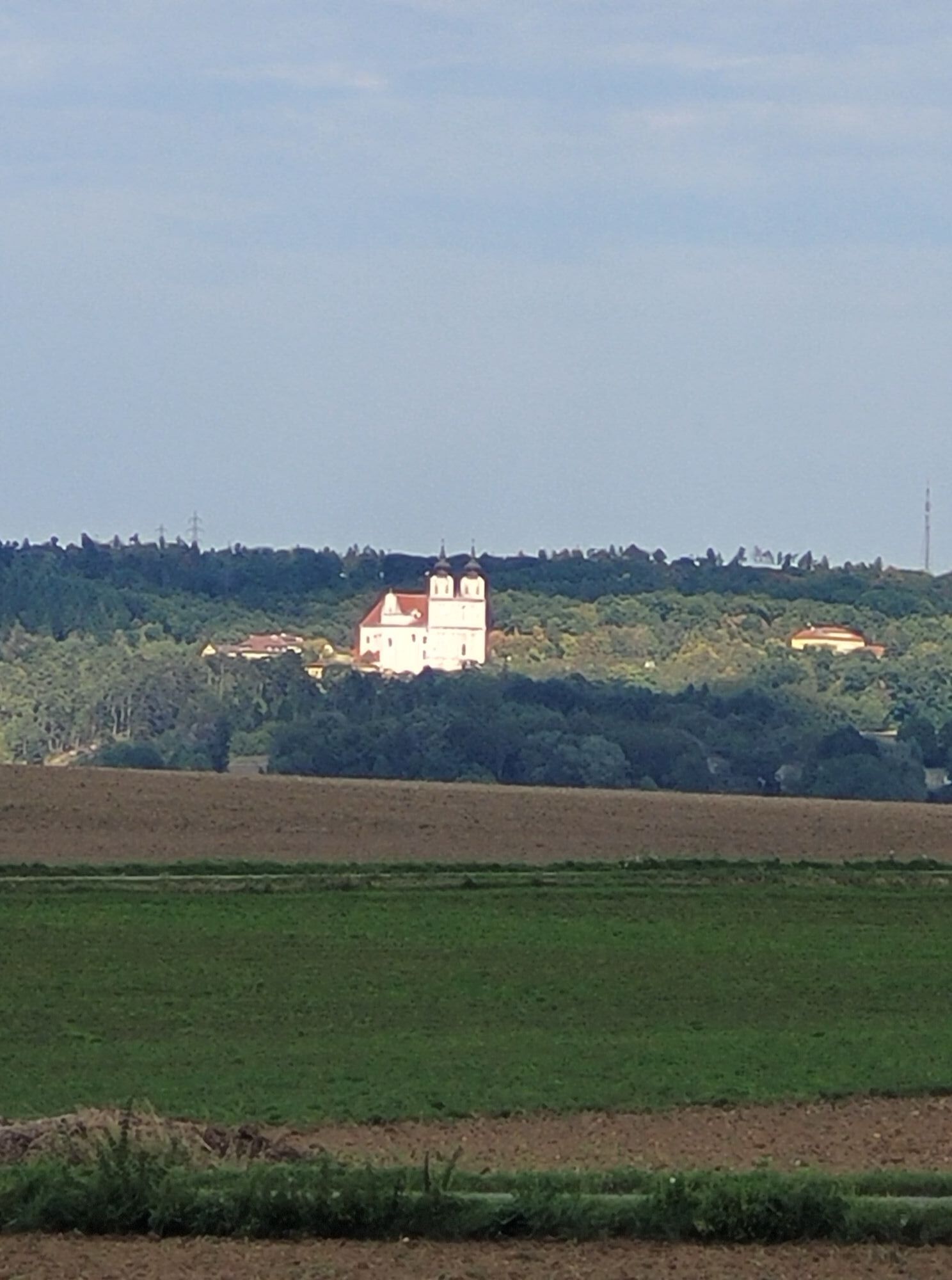
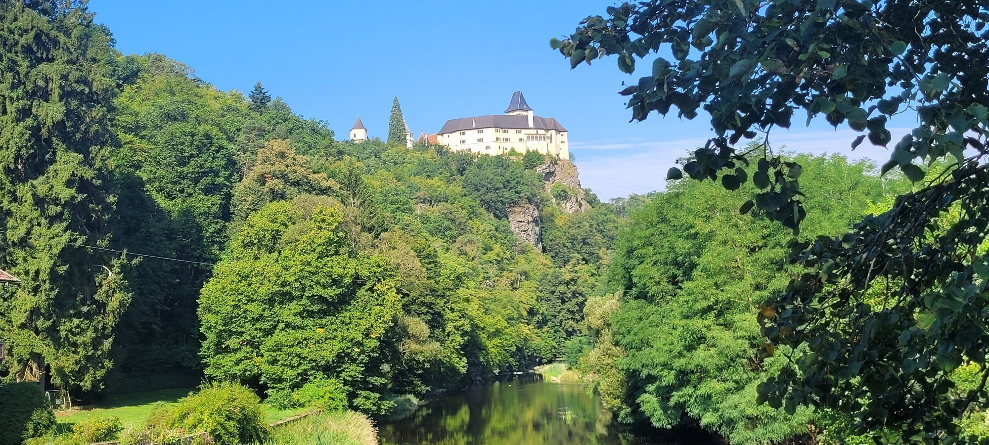
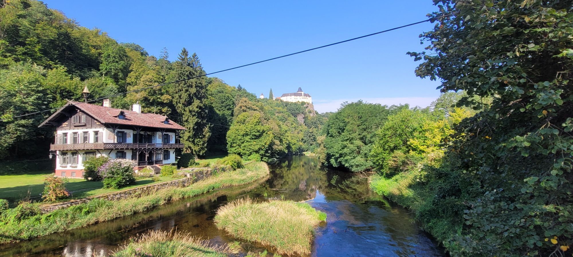
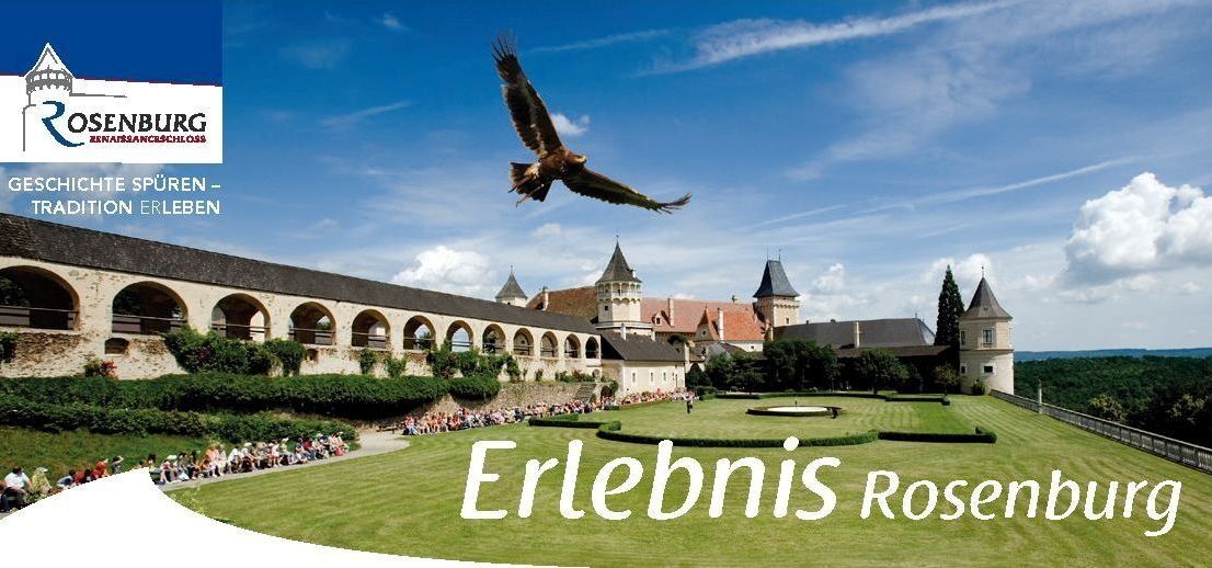
The summer resort of Rosenburg, known far beyond the borders of the country, with its dozens of Wilhelminian-style villas, lies in the valley of the Kamp, overlooked by the castle of the same name. The original castle from the 12th century was part of the Babenberg chain of fortifications; in the Renaissance it was given its final appearance, which has been preserved to this day, with the largest tournament court in Central Europe. You can see crossbows, knights' armor, rifles, cannons, ... and Shakespeare festivals in summer. The falconers' bird of prey demonstrations are particularly spectacular. A high ropes course has been set up in the adjacent forest for the younger generation. The baroque Maria Dreieichen pilgrimage church with its famous dome painting by Paul Troger is one of the most beautiful in Austria. The basilica is a destination for thousands of pilgrims every year.
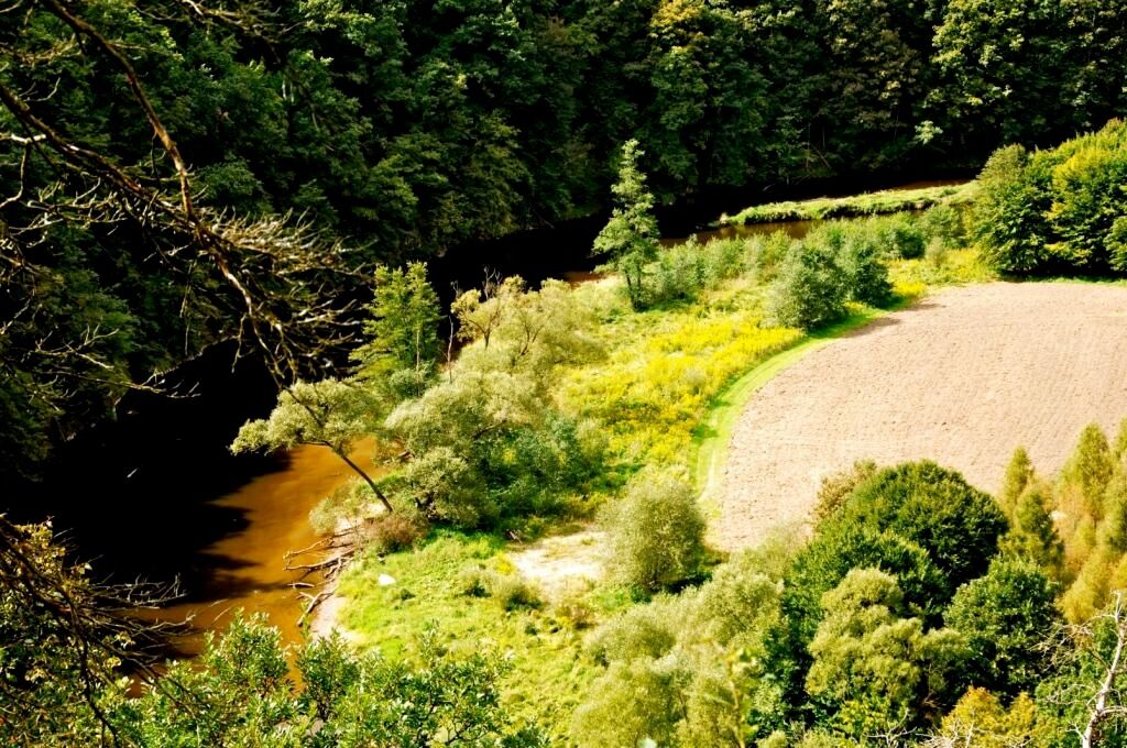
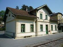

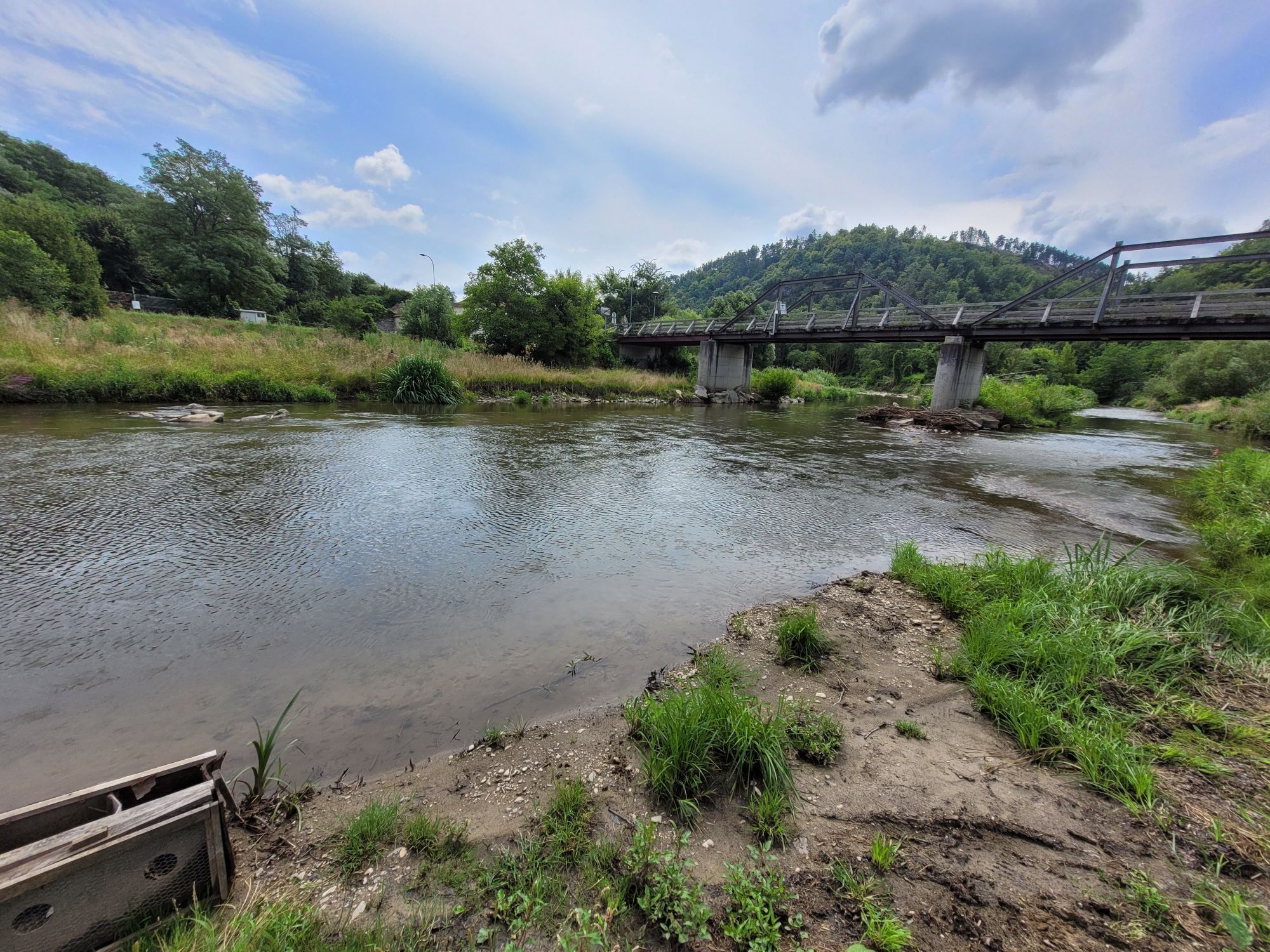
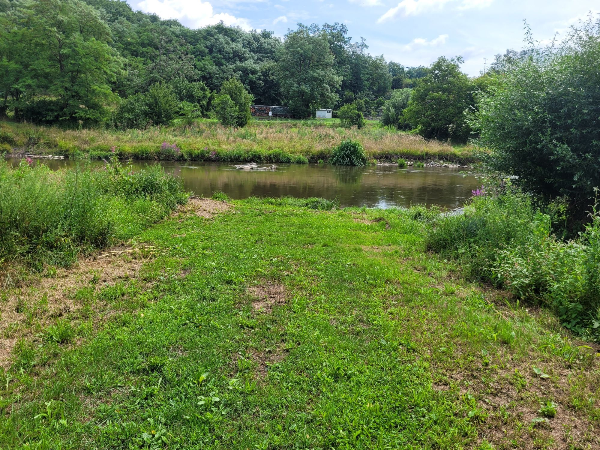
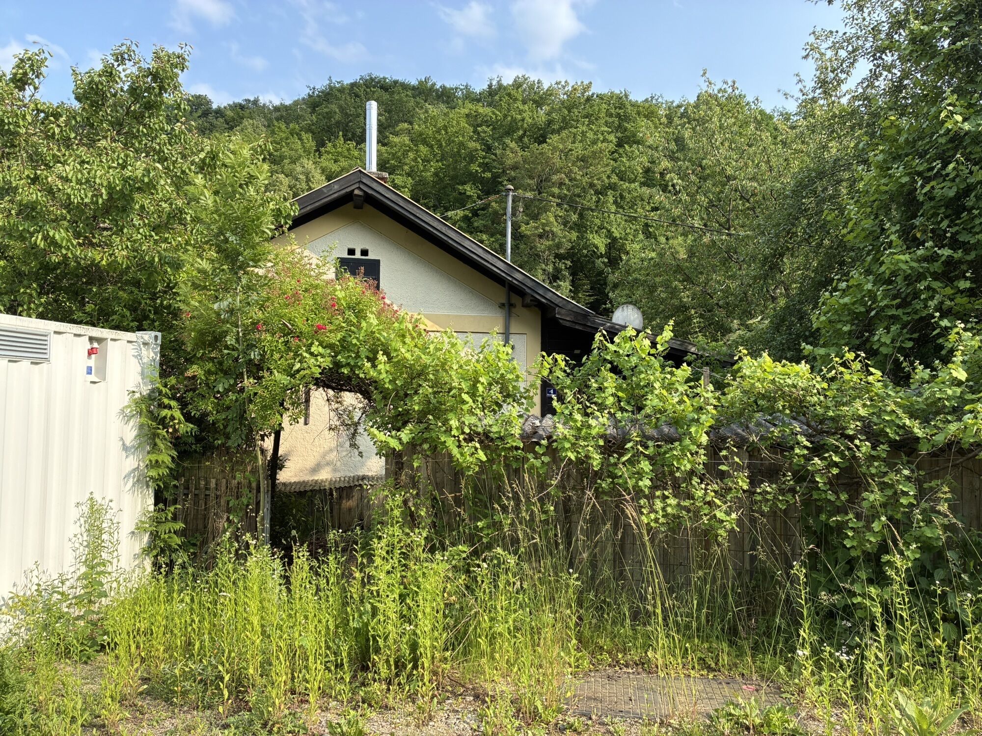
From the Rosenburg train station, walk a short distance along the B34, then turn right and cross the Taffa Bridge toward Sacherbachwald. There, turn left and continue on a beautiful high-altitude trail that leads you toward the Taffa Valley, which you’ll reach after about 1 km. After this brief detour into the Taffa Valley, continue to the right toward Rotes Kreuz (354 m). From there, continue toward Kamegg, where you’ll cross the B34 and the Kamp River, and from Stallegg, follow the right bank of the Kamp back to Rosenburg—perhaps stopping for a bite to eat at the Landgasthof Mann.
Vienna – Stockerau – Maissau – Mold – Rosenburg
Linz – Freistadt – Karlstift – Zwettl – Rastenfeld – Altenburg – Rosenburg
Municipality of Rosenburg-Mold
3573 Rosenburg 25
T 02982/29 17, F DW 4
gemeinde@rosenburg-mold.at
www.rosenburg-mold.at
WALDVIERTEL Tourism
3910 Zwettl, Sparkassenplatz 1/2/2
(T) +43(0)2822/54109, Fax Ext. 36
(E) info@waldviertel.at
(I) www.waldviertel.at
Attractions:
Rosenburg Renaissance Castle
High-Rope Adventure Park
Canoe Trip on the Kamp River
St. Elizabeth's Chapel in Rosenburg
As a memento of your hike along the Taffa-Kamp Loop Trail in the Waldviertel, you can pick up a hiking badge from the Renaissance Castle at the ticket office in Rosenburg.
Hiking badges are round plaques, designed and inscribed using pyrography, which serve as both a souvenir and a recognition of outstanding achievements. Dedicated hiking badge collectors are rewarded with a free premium hiking badge. For more information, visit www.wandermarken.at.

Obľúbené výlety v okolí
-
4,6
Gaisberg-Rundwanderweg Straß im Straßertale
svetloTuristika 8,18 km -
4,3
Zwei Ruinen und ein Schloss
svetloTuristika 7,25 km -
4,5
Gars am Kamp, Hirschbachrunde , Schimmelsprung und retour nach Unwetter 2024 Niederösterreich/Österreich
strednáTuristika 8,91 km -
4,6
Rosenburg-Steinegg Rosenburg, Niederösterreich
Turistika 18,5 km -
3,7
Rund um die Zienner Mühle (Kamp)
strednáTuristika 10,3 km -
4,5
Zweigelt Tour
strednáMountainbike 34,5 km -
4,7
Rundwanderweg Altenburg - Rosenburg - Steinegg
Turistika 13 km -
4,3
Manhardsberg & Naturlehrpfad
svetloTuristika 8,17 km -
5,0
Eggenburg und Kogelsteine
svetloTuristika 8,25 km -
4,7
Föhrenwaldrunde
strednáTuristika 8,62 km
Turistika a stopovanie


Nenechajte si ujsť ponuky a inšpiráciu na ďalšiu dovolenku
Vaša e-mailová adresa bol pridaný do poštového zoznamu.


