






Thayatalweg 630 - 10th stage: Drosendorf - Langau
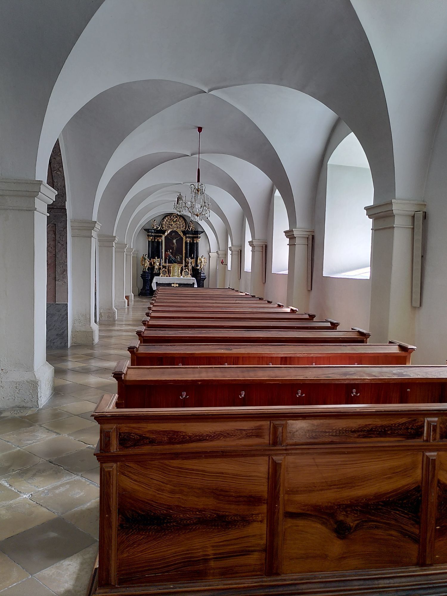

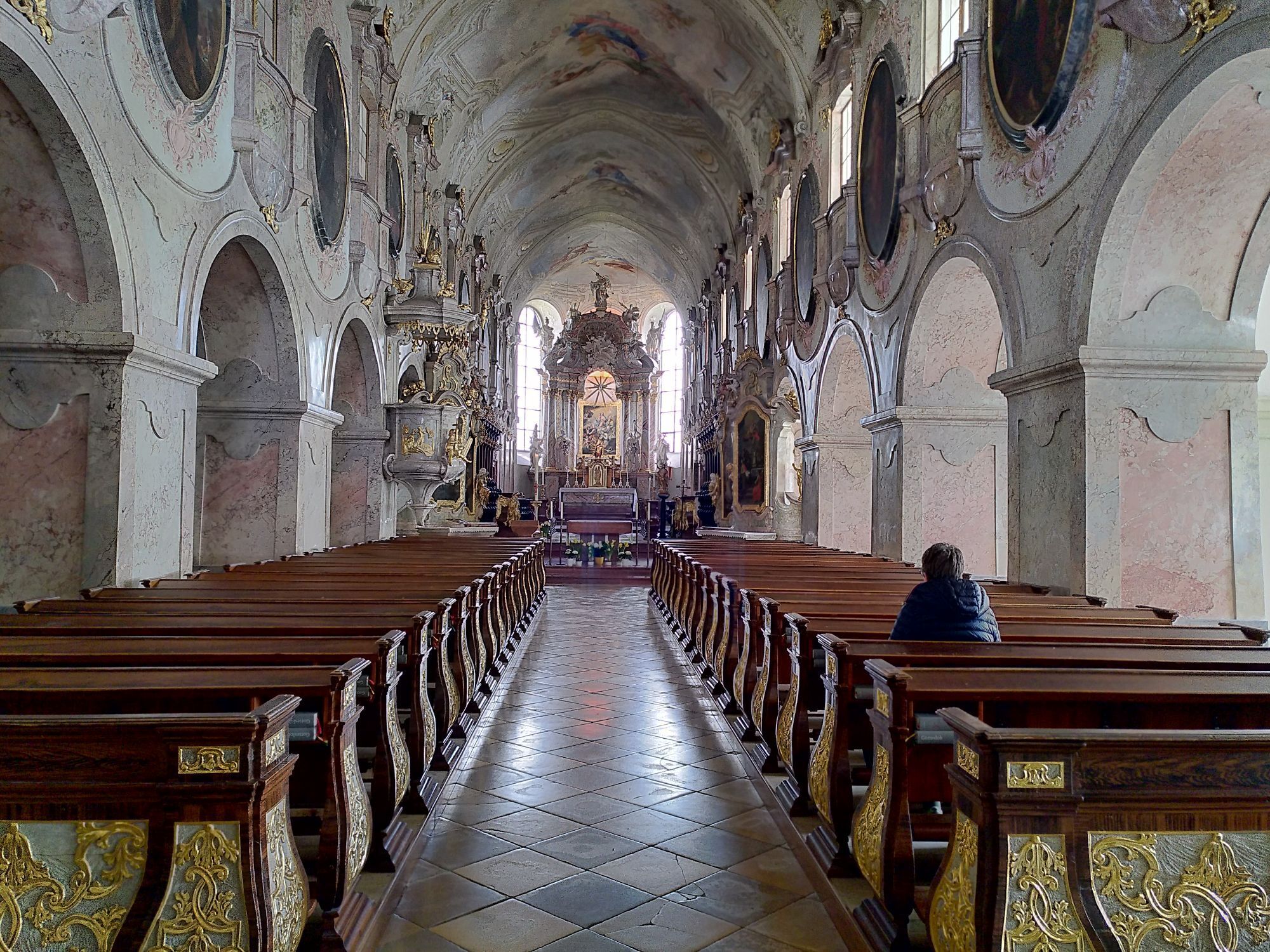

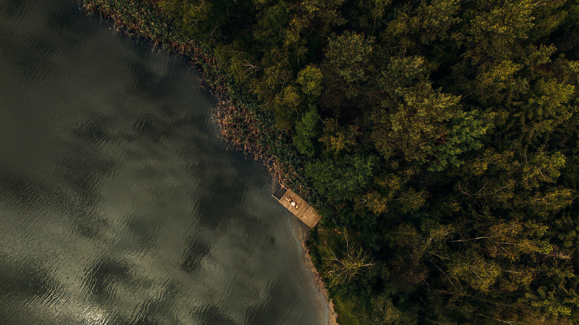
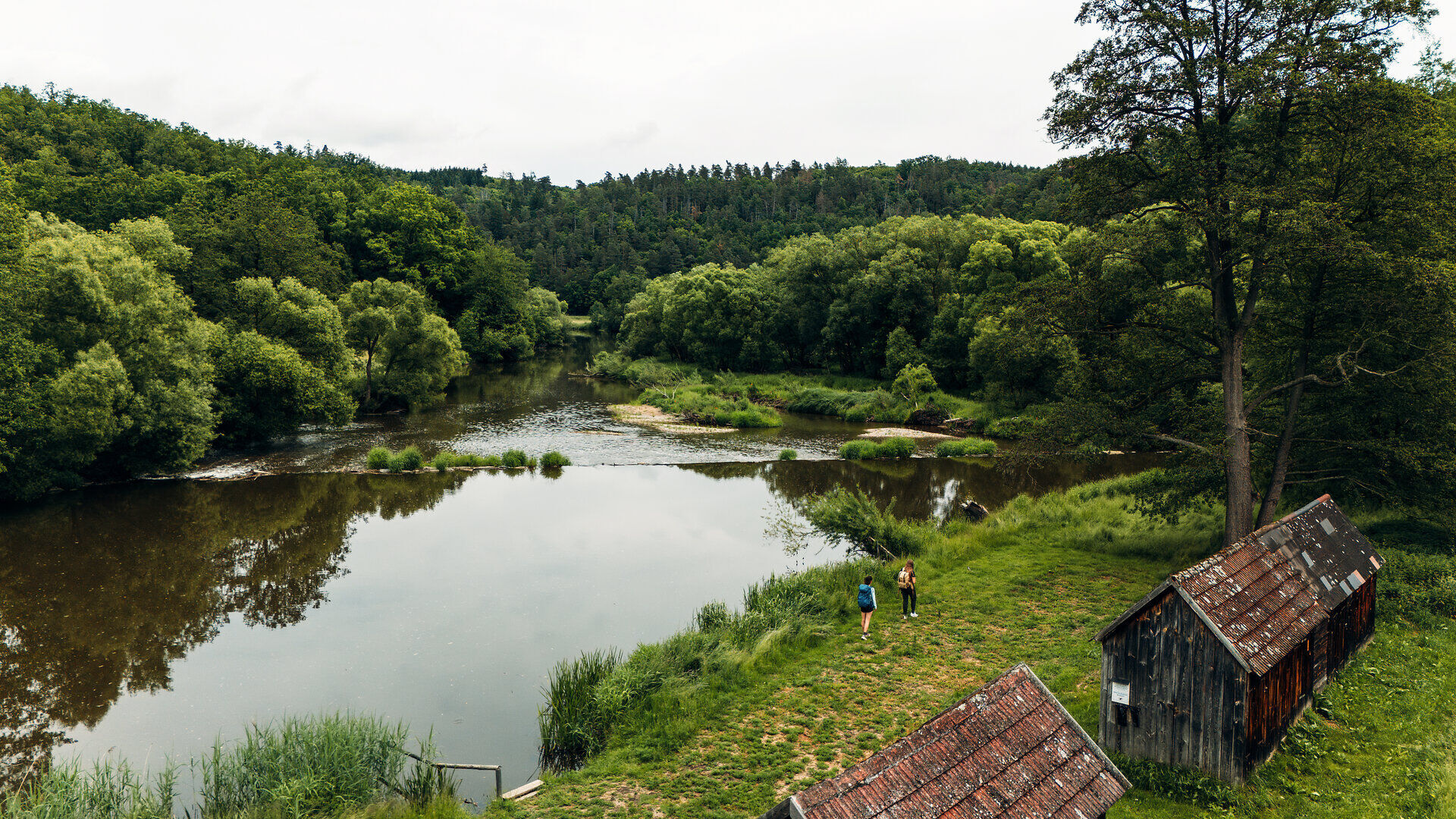

After a stretch on the federal road towards Langau, we turn right onto a path that leads us over the Galgenberg to Wolfsbach. The place is crossed through forest and along country roads we come close to Kottaun, then return to the forest and afterwards follow a road to reach Geras. This place also deserves a longer visit (monastery, nature park, …).
For the further hike, after the monastery we turn left and reach the federal road Geras-Langau, which we immediately leave again to the right. First along the edge of the forest, then through the woods and across open terrain we reach Langau.
Vienna - Stockerau - Hollabrunn - Pulkau - Langau - Drosendorf
Linz - Freistadt - Gmünd - Schrems - Vitis - Göpfritz an der Wild - Raabs an der Thaya - Drosendorf
Information at: www.vor.at
Alpine Club, Waldviertel Section
3830 Waidhofen an der Thaya, Hollenbach 120
(T) +43 664 1112134
(E) waldviertel@sektion.alpenverein.at
Waldviertel Tourism
3910 Zwettl, Sparkassenplatz 1/2/2
(T) +43 2822 54109
(E) info@waldviertel.at
(I) www.waldviertel.at
Obľúbené výlety v okolí
-
5,0
Drosendorf - Gaberbachweg
strednáTuristika 12,6 km -
5,0
Wasser und Felsen
svetloTuristika 8,31 km -
5,0
Ritterweg Ruine Kollmitz Raabs an der Thaya, Niederösterreich
Turistika 12,0 km -
4,0
Eisleiten
strednáTuristika 12,9 km -
5,0
Hardegger Warte
strednáTuristika 5,60 km -
4,5
Rundwanderweg Hardegg – Vranov
ťažkéTuristika 22,5 km -
5,0
Irnfritz - Steinplattenwald
svetloTuristika 10,5 km -
5,0
Fuchsberggraben Runde
strednáTuristika 9,84 km -
5,0
07 Grenzlandweg, 09. Etappe: Geras - Hardegg
svetlodiaľková pešia trasa 23,2 km -
5,0
Kollmitzgraben
strednáTuristika 13,4 km

Turistika a stopovanie


Nenechajte si ujsť ponuky a inšpiráciu na ďalšiu dovolenku
Vaša e-mailová adresa bol pridaný do poštového zoznamu.





