







Überländerweg

From Nondorf to Hoheneich: Starting from Gasthaus Ambrozy, walk across the Elexenbach in the direction of Gmünd until just before the bus stop at the entrance to the village. There you turn right onto...
From Nondorf to Hoheneich: Starting from Gasthaus Ambrozy, walk across the Elexenbach in the direction of Gmünd until just before the bus stop at the entrance to the village. There you turn right onto a field path (Überländerweg) which leads to the Elexenbach. Approx. 100 m after the bridge you come to a crossroads and turn left towards Hoheneich next to the Elexenbach stream through a wooded area. You pass a ditch, then continue along the path to the Hubertus Chapel, where you walk through 2 small sections of forest before reaching the main road shortly before the railroad crossing (Kaiser-Franz-Josefs Bahn) next to an accident warning sign. From there, turn right onto a path that accompanies the main road over the railroad and uphill through the forest until you reach Hoheneich. The route now continues straight ahead past the Annamarterl (left) and a 17th century Way of the Cross station (Way of the Cross from Kirchberg am Walde to Hoheneich). You walk along the Bahnstraße to the market square, the center of which is the beautiful pilgrimage church. In front of it stands the "Hohe Eiche". Hoheneich" is said to have been named after this or its predecessors

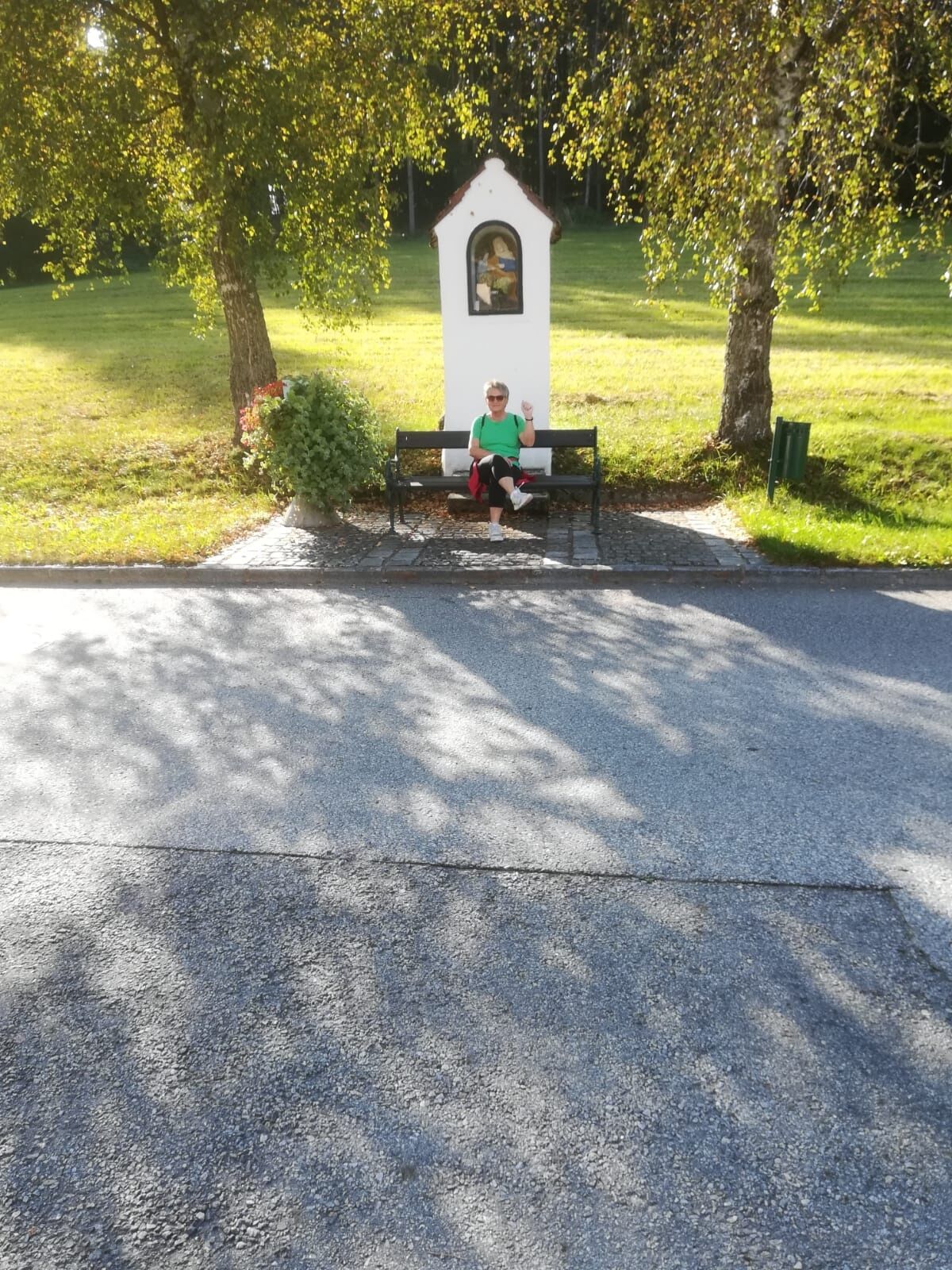
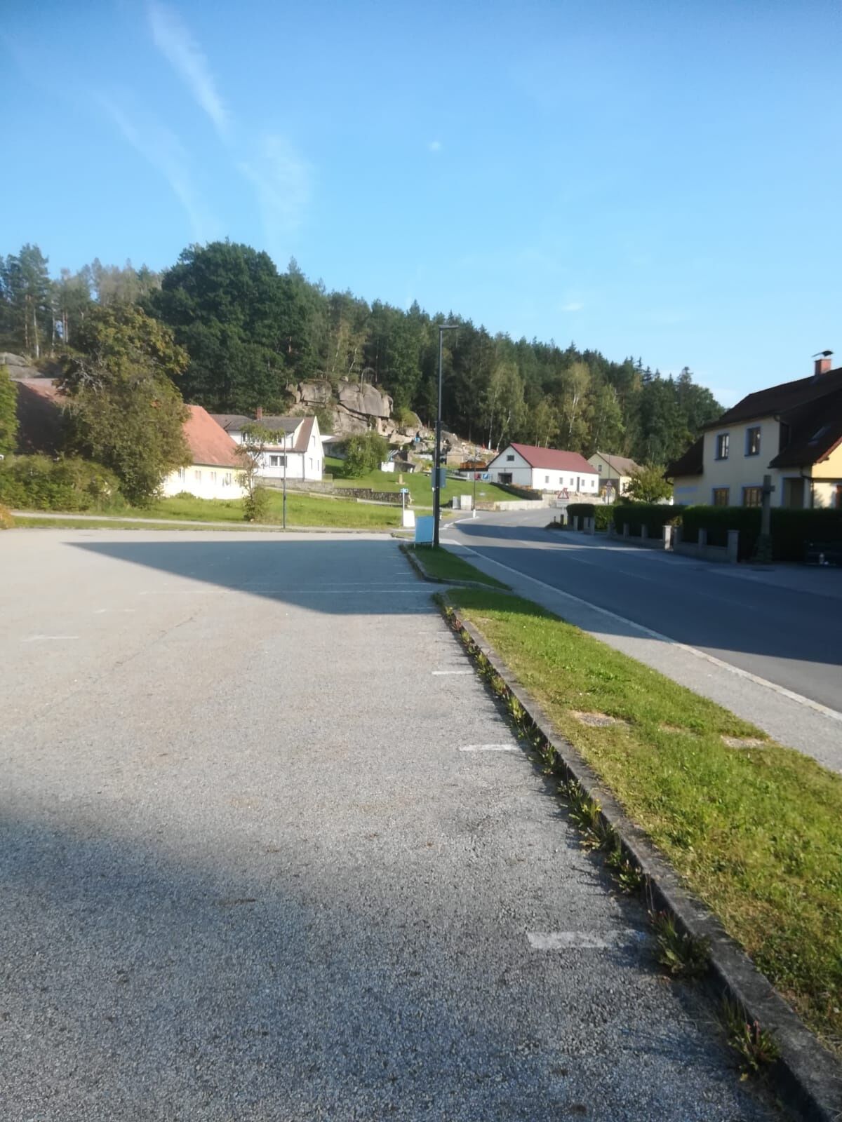
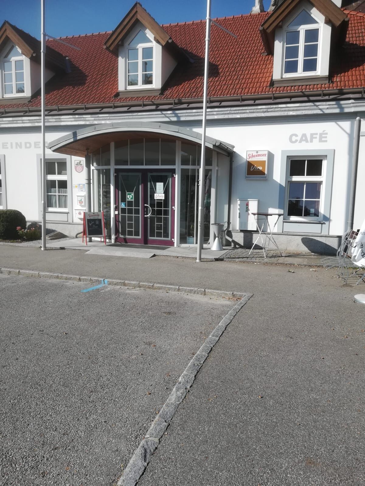
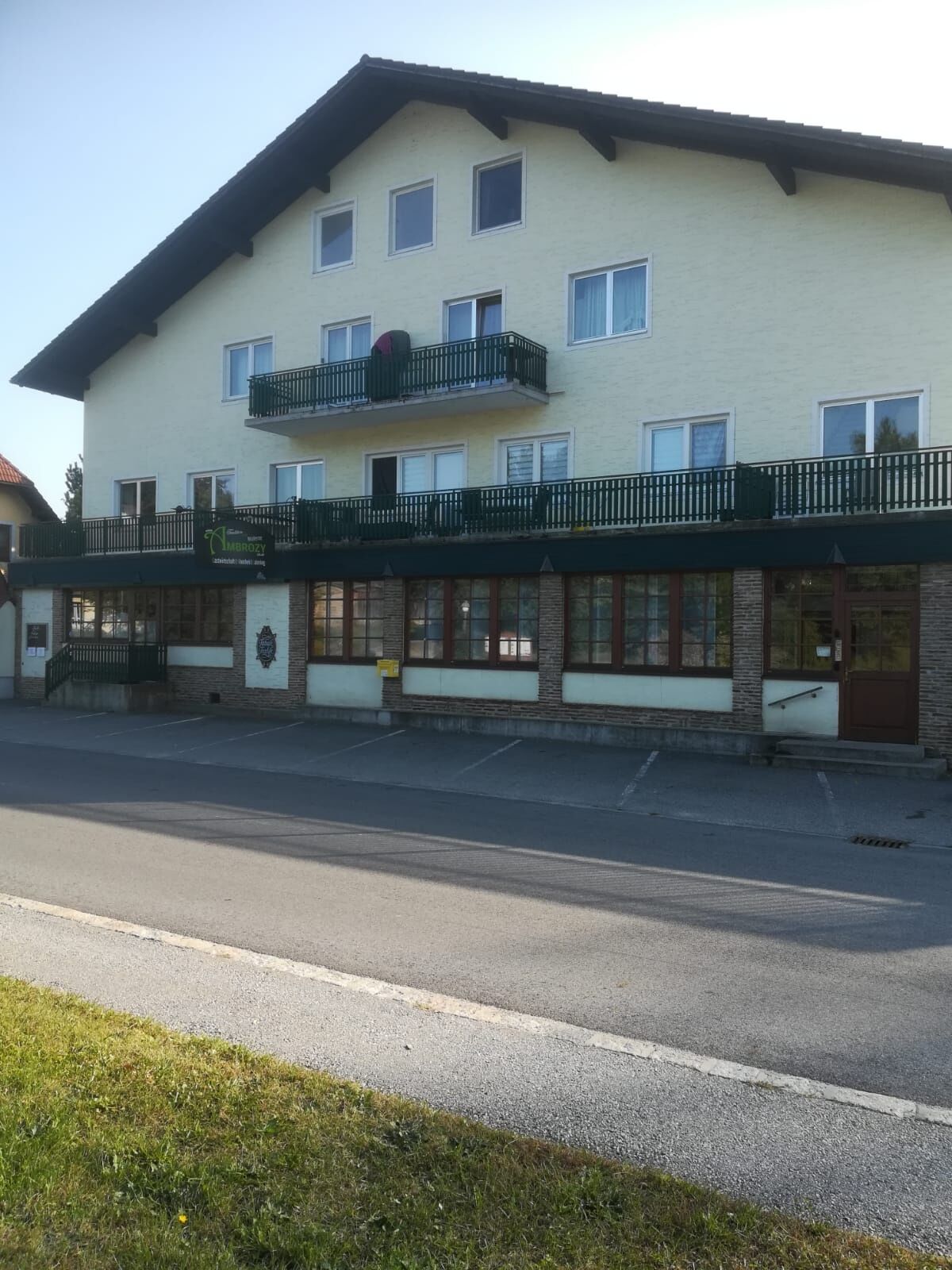
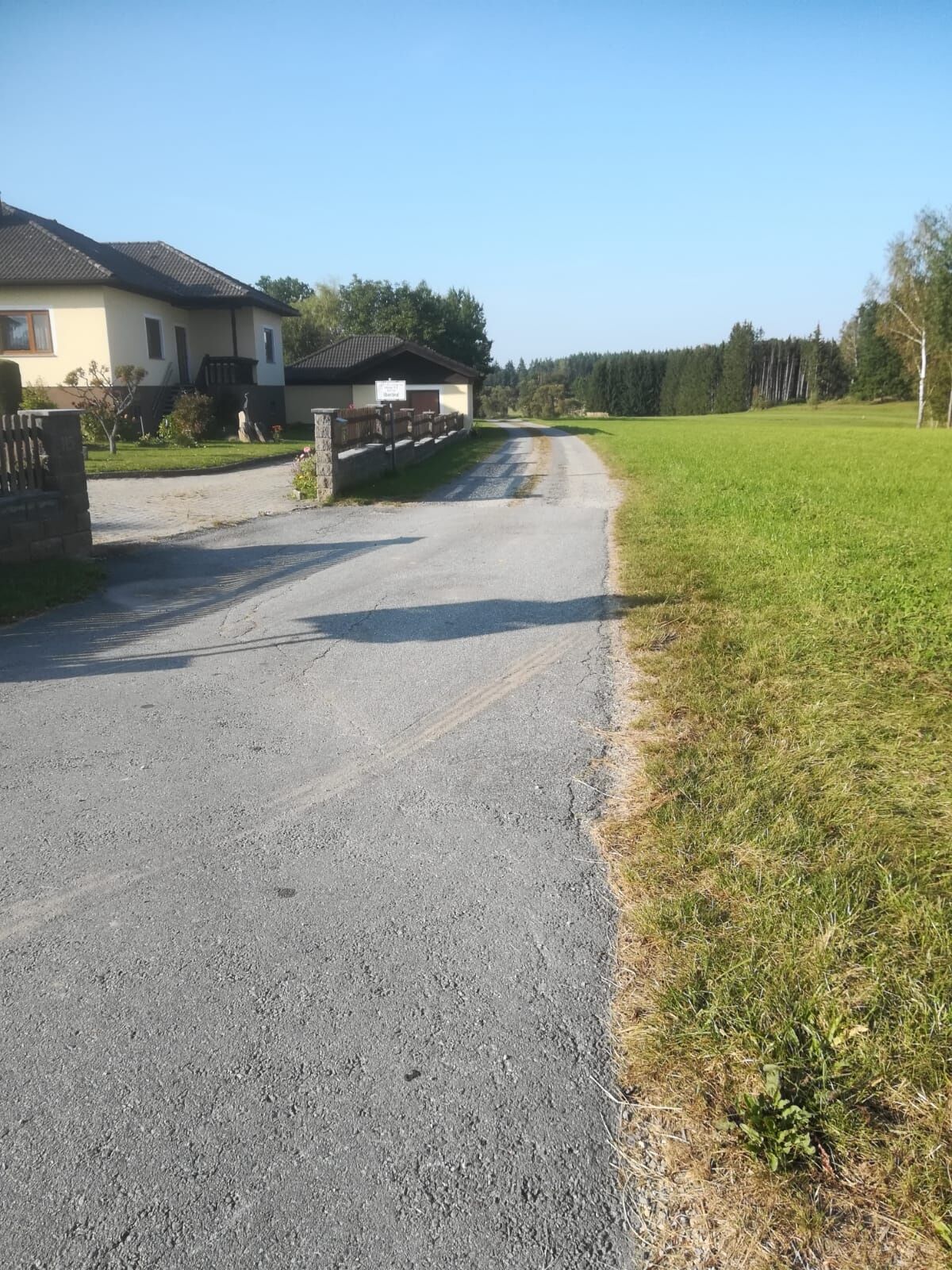
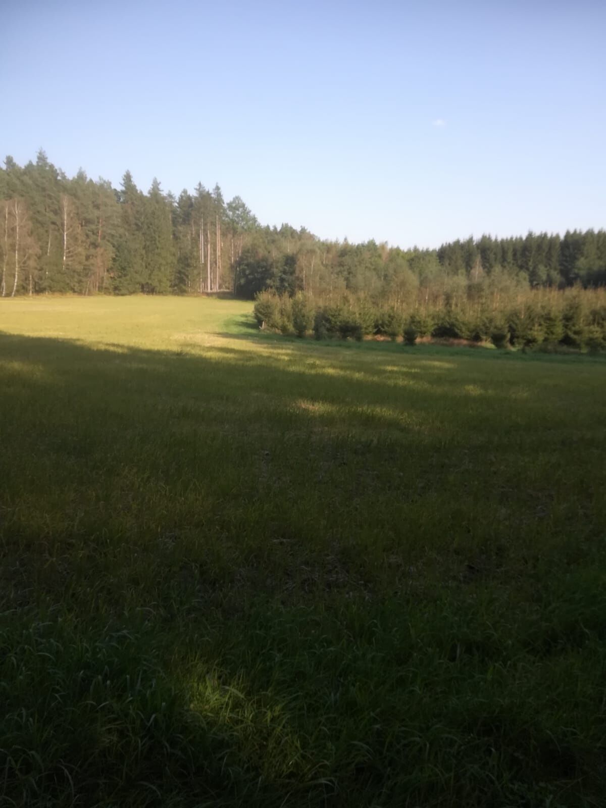
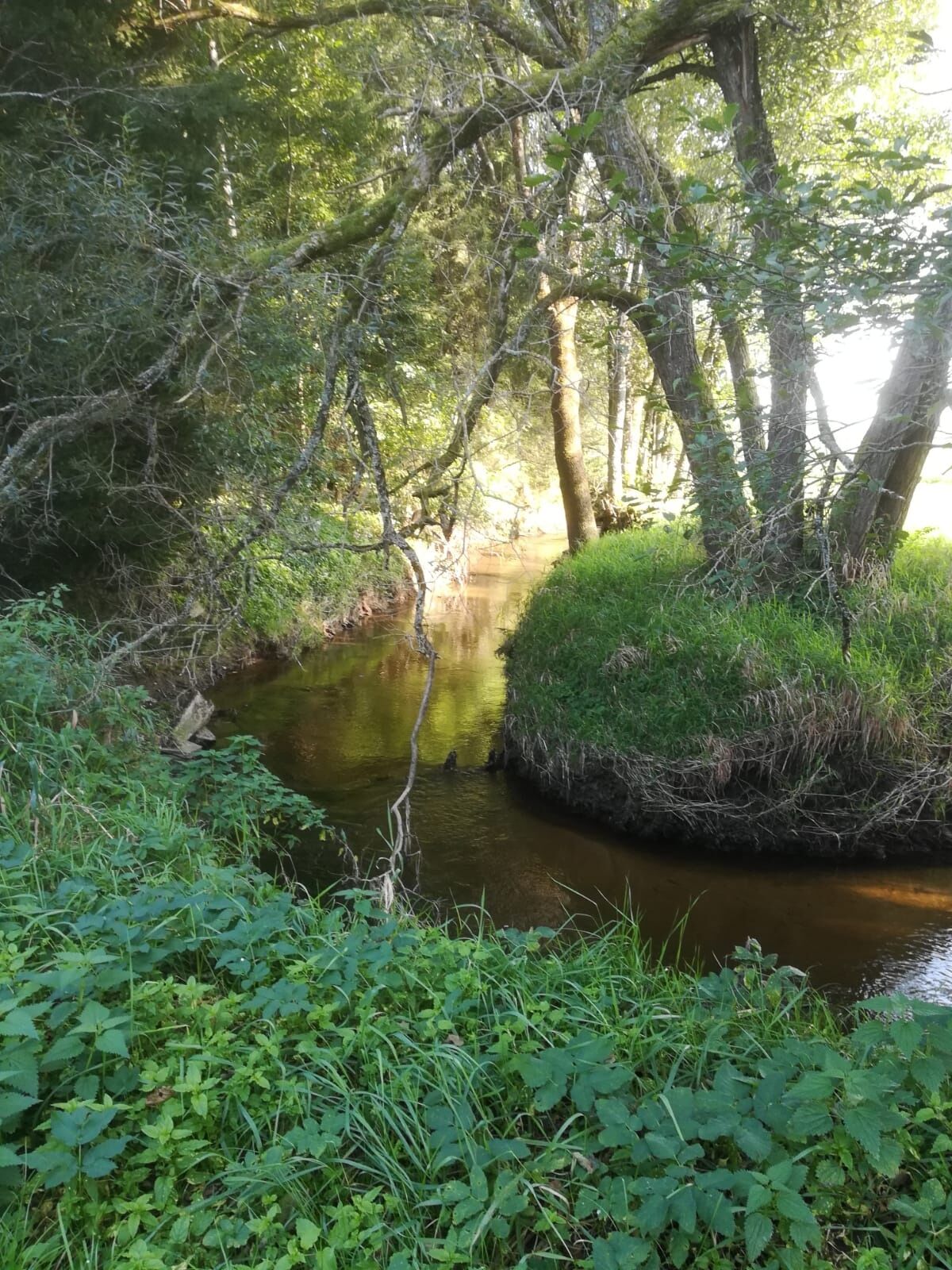
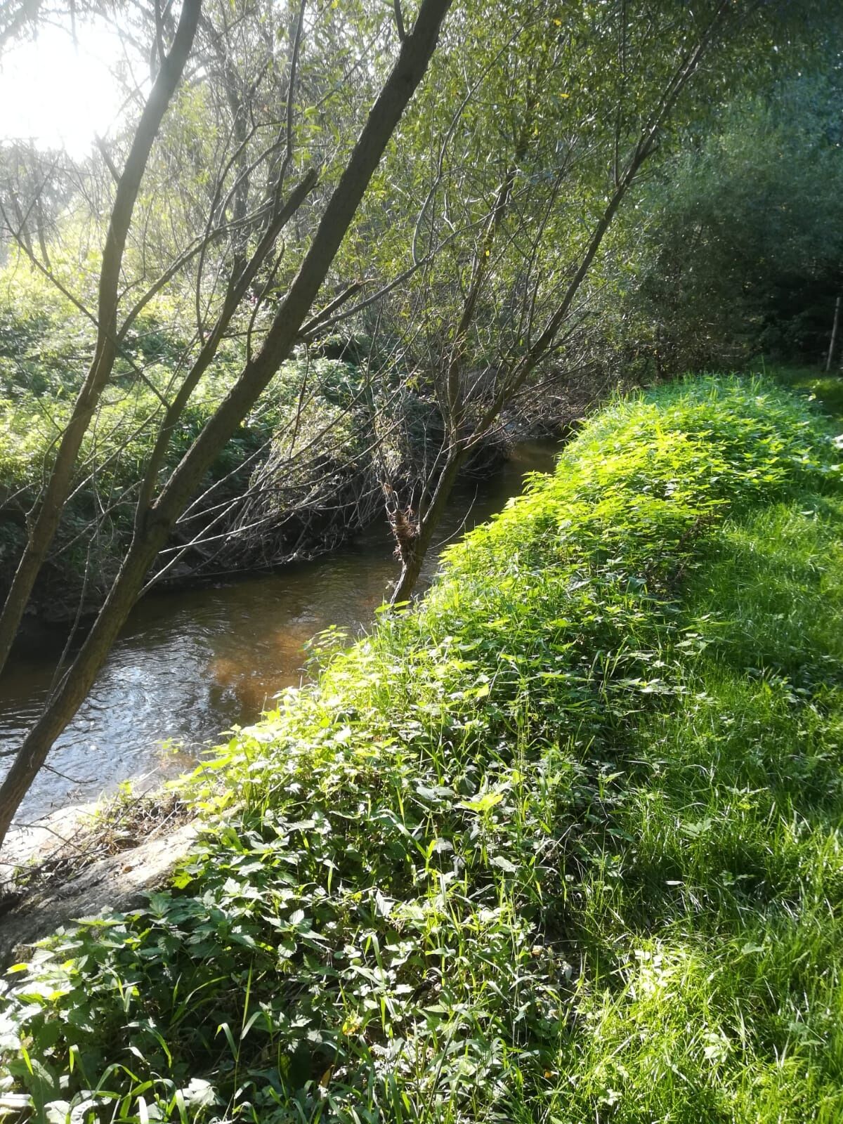
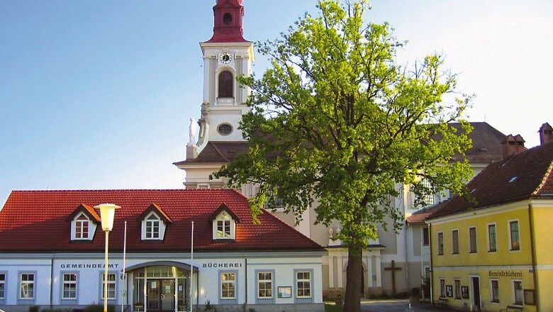

From Nondorf to Hoheneich: Starting from the Gasthaus Ambrozy, walk over the Elexenbach towards Gmünd until shortly before the bus stop at the village entrance. There, turn right into a field path (Überländerweg) that leads to the Elexenbach. About 100 meters after the bridge, you'll reach a field path intersection and take the left path towards Hoheneich, walking beside the Elexenbach through a wooded hill. You pass a water ditch and continue along the path to the Hubertus chapel, where you cross two small wooded areas before reaching shortly before the railway crossing (Kaiser-Franz-Josefs Bahn) a roadside marker. There, turn right onto a side path along the road, cross the railway uphill through the forest, and reach Hoheneich. The route now leads straight on past the Annamarterl (to the left) and a Way of the Cross station (Way of the Cross from Kirchberg am Walde to Hoheneich) from the 17th century. You walk along the railway road to the marketplace, whose center is the beautiful pilgrimage church. In front stands the "Hohe Eiche". According to it and its predecessors, "Hoheneich" is said to have received its name.
Sturdy footwear, functional clothing, sun and rain protection, map material, telescopic poles if needed, first aid kit (blister plasters), sufficient provisions (snacks, muesli bars, fruit, water).
Make sure when choosing your route that it matches your physical condition. Check whether the catering businesses you want to visit along the way are open. Pack your charged mobile phone and map material in your backpack. For cross-border hikes, always carry a passport or identity card.
Route characteristics: 50% asphalt, 50% field and hiking path
Market town of Hoheneich
3945 Hoheneich, Marktplatz 91
(T) +43 2852 52664
(E) gemeinde@hoheneich.gv.at
(I) www.hoheneich.at
Waldviertel Tourism
3910 Zwettl, Sparkassenplatz 1/2/2
(T) +43 2822 54109
(E) info@waldviertel.at
(I) www.waldviertel.at
Obľúbené výlety v okolí
-
4,2
Blockheiderunde
svetloTuristika 6 km -
4,9
Mythologieweg Blockheide
svetloTuristika 4,96 km -
4,7
Gmünd: Blockheide mit Wackelsteinen
svetloTuristika 8,14 km -
4,6
Gemeinde Heidenreichstein - Winkelauer Berg - Seyfrieds
svetloTuristika 7,24 km -
5,0
Naturlehrpfad Heidenreichsteiner Moor
svetloTuristika 4,56 km -
4,0
Gmünd Blockheide
svetloTematická trasa 8,18 km -
3,7
Xunde Runde
svetloTuristika 7,41 km -
4,5
Schweigginger Ursprungsrunde
strednáCyklistika 44,7 km -
5,0
TiWaLi - Neu-Nagelberg Grenzweg, Österreich
svetloTuristika 10,7 km -
TiWaLi - Kleineibenstein, Österreich
svetloTuristika 10,5 km

Turistika a stopovanie


Nenechajte si ujsť ponuky a inšpiráciu na ďalšiu dovolenku
Vaša e-mailová adresa bol pridaný do poštového zoznamu.





