






Forest and Wine Trail, No. 62
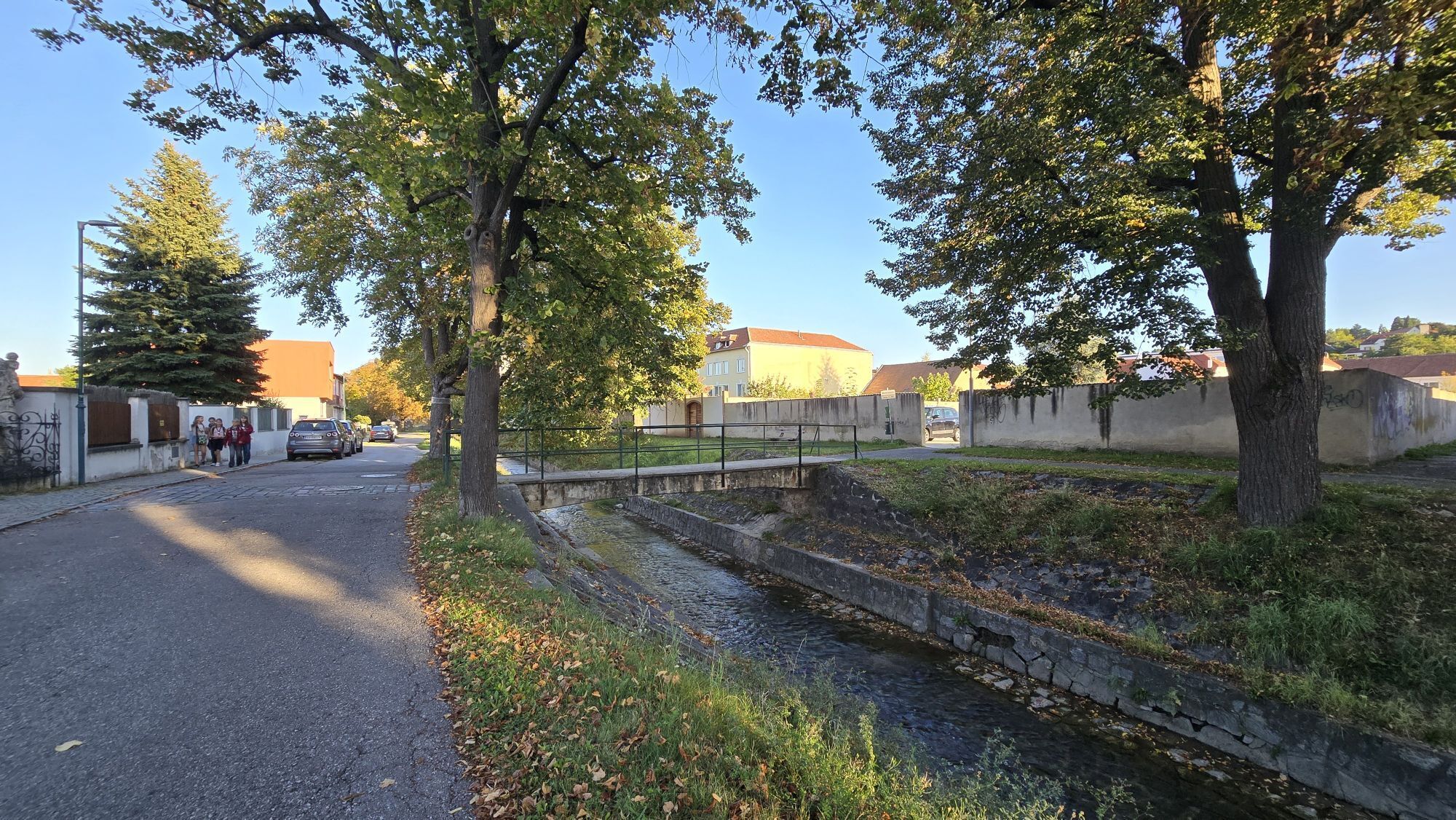
The idyllic wine village of Mittelberg can be reached from Langenlois on a beautiful circular hike. The tour leads through the Langenlois district of Obere Stadt, along the Loisbach stream to the Kronsegg...
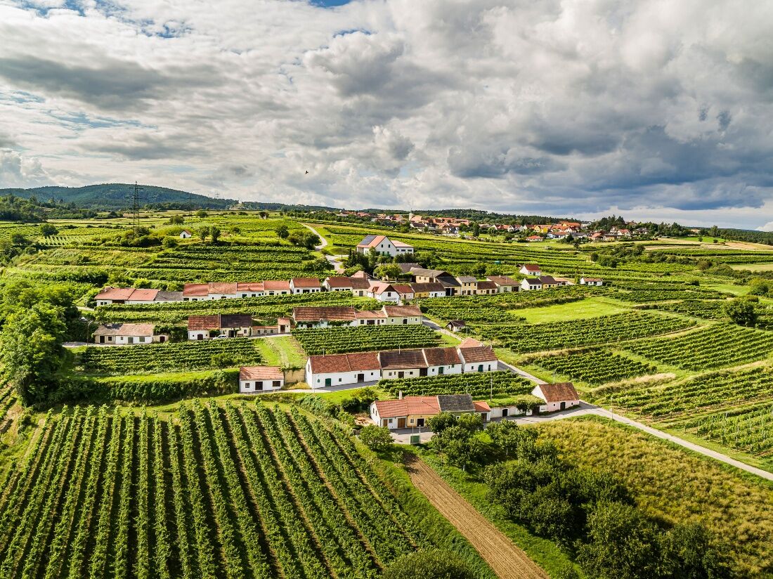
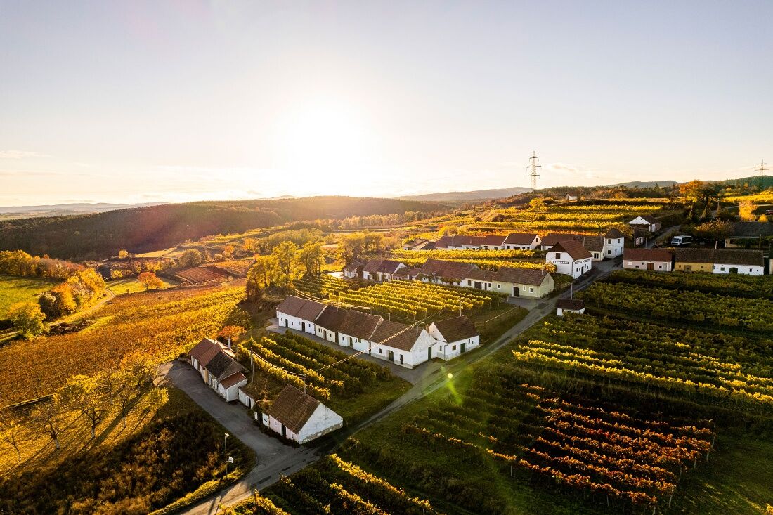
The idyllic wine village of Mittelberg can be reached from Langenlois on a beautiful circular hike. The tour leads through the Langenlois district of Obere Stadt, along the Loisbach stream to the Kronsegg reservoir and through pine forests to Mittelberg. Once at the top, the "highest wine village in the Kamp Valley" with its wine cellar lane laid out on several terraces offers magnificent views over the lower Kamp Valley ("Kamptal" in German) and the Danube valley with Göttweig Abbey to the peaks of the foothills of the Alps. On fine days, Schneeberg and Ötscher are clearly visible on the horizon. Return to Langenlois through the vineyards of the Loiserberg vineyard.


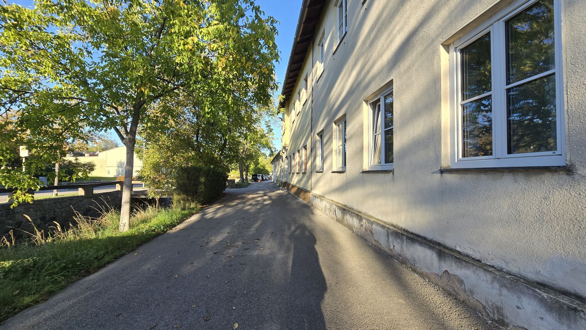
From the roundabout at Kornplatz towards the church and immediately turn right after the bridge over the Loisbach. Follow the Loisbach – once on the left, once on the right bank. After about 1.3 km, cross the Loisbach over a small footbridge (opposite Langenlois Infopoint) and follow Zwettler Straße and Loistalstraße for about 1.5 km out of town.
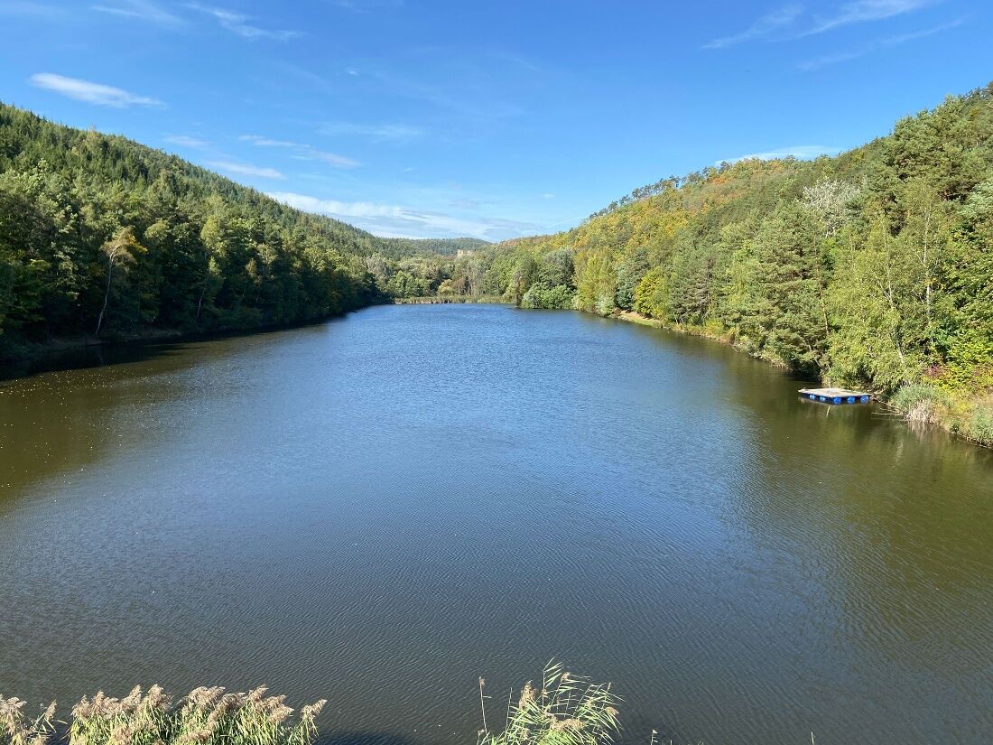
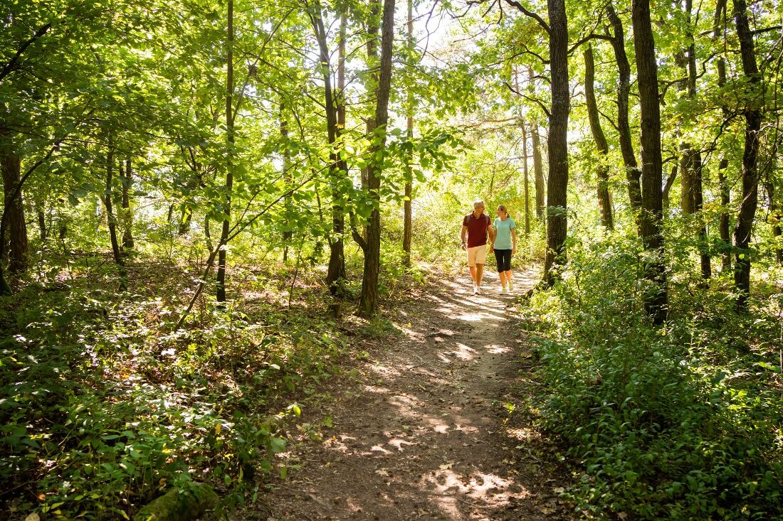
About 100 m after the end of Langenlois, turn left and follow the path along the Loisbach – once on the left, once on the right bank – for about 3.5 km to the Kronsegg reservoir. After the steps at the Kronsegg reservoir, continue left on a forest path and steadily uphill through a lovely pine forest to the 470 m high Dachsberg. Once at the top, the path soon leads out of the forest and into the wine village of Mittelberg.
After the church of Mittelberg, keep right and at the next intersection turn right towards the chapel, Hiatahütte, and the Keller village of Mittelberg. At the second intersection after the Keller village, turn left and immediately right onto the gravel path. Through vineyards, it then goes steadily downhill for about 1.8 km. Turn left onto the state road (L55). After about 400 m on the asphalt road, turn right and follow the Sirnitzbach for about 1 km. Return in the town area of Langenlois following the Loisbach for about 2.5 km back to the center of Langenlois and the starting point.
Sturdy footwear, functional clothing, sun and rain protection, map material, telescopic poles if needed, first aid kit (blister plasters), sufficient provisions (snack, muesli bars, fruit, water).
Make sure your chosen route matches your fitness level. Check whether the gastronomy businesses you want to visit along the way are open. Pack your charged mobile phone and map material in your backpack.
From Vienna: Danube river bank motorway A22 towards Stockerau, continue on S5 towards Krems until exit Fels am Wagram and on B34 to Langenlois.
From the west: West motorway A1 towards Vienna until St. Pölten, continue on S33 and B37 to Krems and on B218 to Langenlois.
Regular regional train connections between Langenlois and Hadersdorf (connection to Vienna), Krems, and the Kamptal (fahrplan.oebb.at).
Parking lot P1 center in Walterstraße or parking lot P2 center in Kamptalstraße
Ursin Haus Vinothek & Tourism Service GmbH
3550 Langenlois, Kamptalstraße 3
(T) +43 2734 2000-0, ext. 15
(E) info@ursinhaus.at
(I) www.langenlois.at
Waldviertel Tourism
3910 Zwettl, Sparkassenplatz 1/2/2
(T) +43 2822 54109, Fax ext. 36
(E) info@waldviertel.at
(I) www.waldviertel.at
End the hike at a wine tavern (Heuriger) in Langenlois.
Získajte prehľad
Vždy naživo na mieste s viac ako 9 500 webovými kamerami. bergfex Ako používateľ Pro si teraz môžete pozrieť príslušné webové kamery pre mnohé zájazdy v aplikácii zájazdy z. Môžete si tak priamo prezerať aktuálne podmienky.

Obľúbené výlety v okolí
-
4,5
Welterbesteig Wachau 02: Dürnstein-Weißenkirchen
svetlodiaľková pešia trasa 15,9 km -
4,6
Welterbesteig Wachau 01: Krems-Dürnstein
svetlodiaľková pešia trasa 12,3 km -
4,8
Vogelbergsteig -Kanzel- Fesselhütte - Ruine Dürnstein zum Heurigen in Furth
strednáTuristika 7,59 km -
4,7
Rundhöhenwanderweg Weißenkirchen in der Wachau - Schildhütten - Cholerakreuz - Weißenkirchen
svetloTuristika 8,75 km -
4,6
Krems (Welterbesteig) - Dürnstein - Vogelbergsteig - Kanzel - Fesslhütte - Krems
strednáTuristika 18,0 km -
4,4
Wachauer Marillenerlebnisweg, Krems-Angern
svetloTuristika 6,04 km -
4,7
Wine and Water Round to the Kamptalwarte on Heiligenstein, no. 65
strednáTuristika 9,93 km -
4,8
Wachau: Panoramaweg Rossatz
svetloTuristika 10,8 km -
4,3
Mammutbäume, Waxenberg und Göttweig
strednáTuristika 12,1 km -
4,7
Weinweg Langenlois - wohin ? in und um Wien
svetloTuristika 5,68 km
Turistika a stopovanie


Nenechajte si ujsť ponuky a inšpiráciu na ďalšiu dovolenku
Vaša e-mailová adresa bol pridaný do poštového zoznamu.





