






Ysperklamm Path Bärnkopf
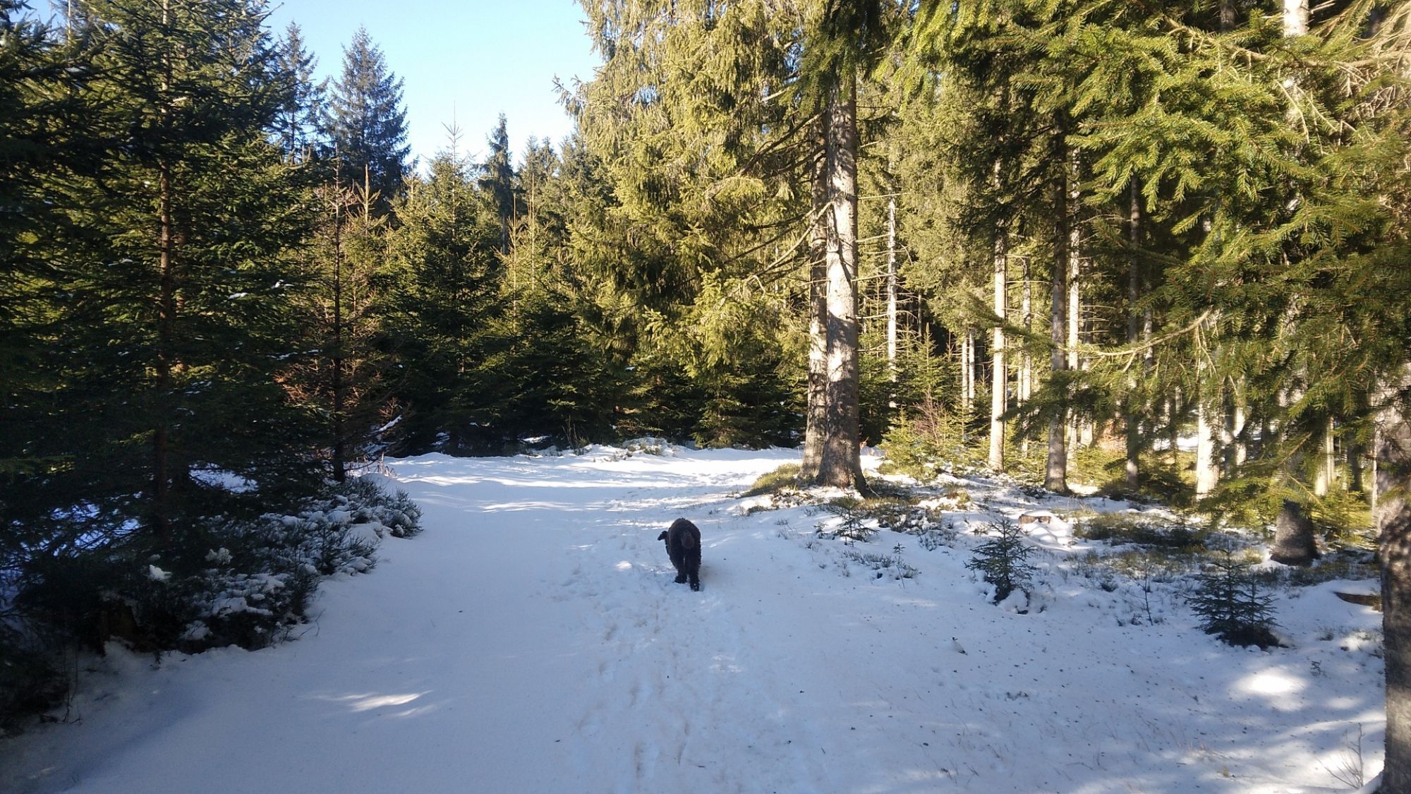
The section between Weinsberger Wald and the Ysperklamm entrance is closed due to forestry work.

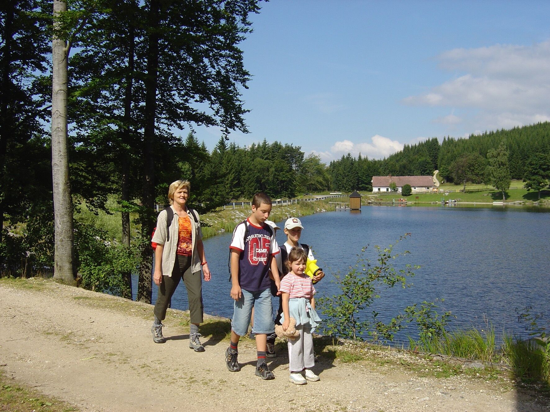
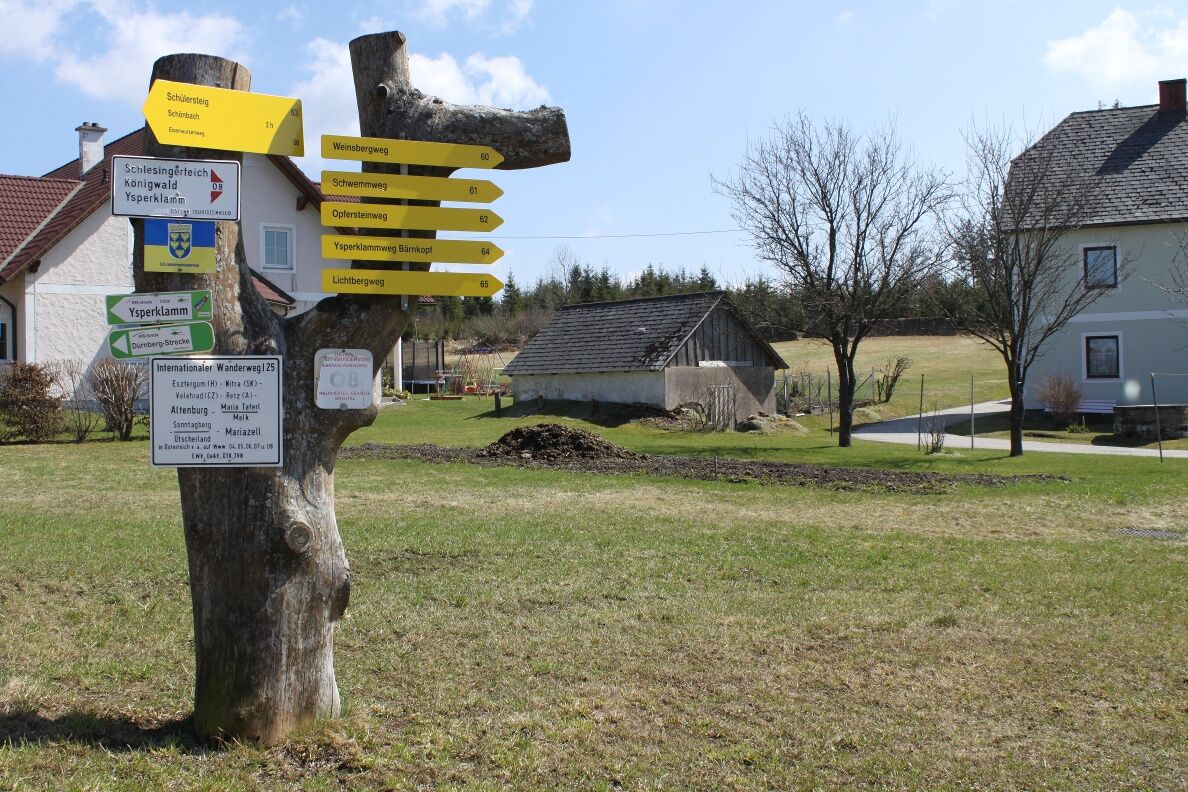
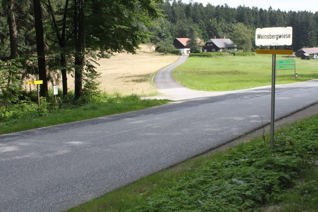
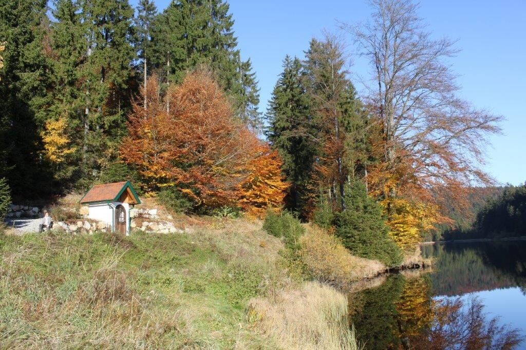

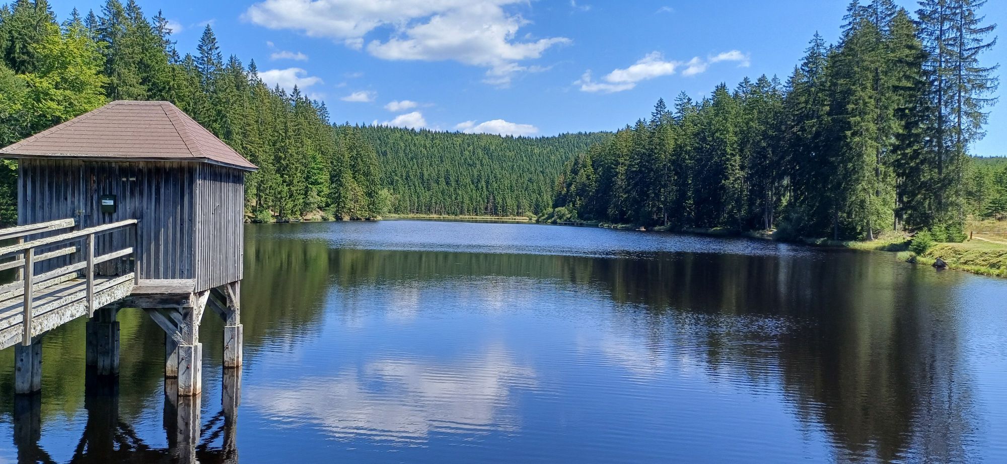
At the "marker tree," all paths branch off from the village road heading south. At a junction with overview boards, go straight downhill. Soon you will see the water surface of the Schlesinger Pond. Past the campsite – there is a fountain and a toilet here – the hike continues onto a forest road. Shortly before the Pfaffensteg Pond, the Lichtberg Path No. 65 branches off to the left, while the Ysperklamm Path continues straight ahead. Past the Pfaffensteg Pond, it goes over the Wurzeben and through the Königwald to the Öd Pond. There you turn directly north and follow the variant of the Eisenwurzen Path 08A along the upper course of the Große Ysper to Bärnkopf. Along the way, there is the possibility to climb the summit of the Weinsberg – with a wonderful view! If you want to visit the Ysperklamm, turn south shortly before the Öd Pond.
Sturdy footwear, functional clothing, sun and rain protection, maps, possibly telescopic poles, first aid kit (blister plasters), sufficient provisions (snack, muesli bars, fruit, water).
Make sure when choosing your route that it matches your fitness level. Check if the gastronomy establishments you want to visit along the way are open. Pack your charged mobile phone and map material in your backpack. For cross-border routes, always carry a passport or identity card.
A1 - West Motorway; exit Melk - Danube Bridge - Danube shore road - Pöggstall - Martinsberg - Bärnkopf
By train to Ybbs Persenbeug, then by regional bus 780 to Martinsberg Pitzeichen, here change to regional bus 733 to Bärnkopf.
All information about all bus and train lines to the Waldviertel can be found at www.vor.at or at www.oebb.at.
Free parking at the woodcutter museum, at the municipality, and at the church
Bärnkopf Tourist Office
3665 Bärnkopf No. 103
(T) +43 2874 8212
(E) gemeinde@baernkopf.gv.at
(I) www.baernkopf.gv.at
Waldviertel Tourism
3910 Zwettl, Sparkassenplatz 1/2/2
(T) +43 2822 54109
(E) info@waldviertel.at
(I) www.waldviertel.at
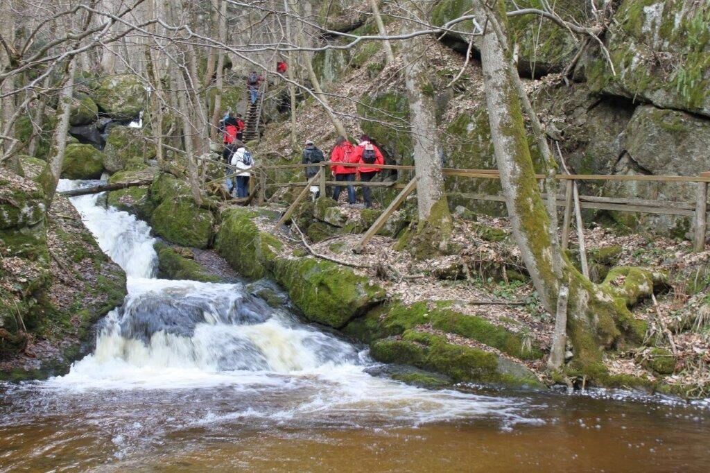
Visit to the Ysperklamm.
Získajte prehľad
Vždy naživo na mieste s viac ako 9 500 webovými kamerami. bergfex Ako používateľ Pro si teraz môžete pozrieť príslušné webové kamery pre mnohé zájazdy v aplikácii zájazdy z. Môžete si tak priamo prezerať aktuálne podmienky.
Obľúbené výlety v okolí
-
4,0
Yspertal: Druidenweg - Ysperklamm
strednáTuristika 9,56 km -
4,6
Waldhausen: Outlook circuit
strednáTuristika 14,0 km -
4,5
Ausgedehnte Peilsteinrunde
strednáTuristika 13,7 km -
4,8
Herzsteinweg Ysper und Burgsteinmauer
strednáTuristika 14,7 km -
4,9
LAIMBACH Ostrong Peilstein 20220716
strednáTuristika 7,70 km -
4,0
Burgstall-Wanderweg Nr. 3
strednáTuristika 11,8 km -
4,8
Ysperklamm
svetloTuristika 3,92 km -
4,3
Teddybear Trail Lohnbachfall
svetloTematická trasa 4,41 km -
3,8
Bärnkopf Ysperklammstrecke
ťažkéMountainbike 31,0 km -
4,8
Natur-Geheimnis-Pfad Nr. 5
svetloTuristika 4,04 km
Turistika a stopovanie


Nenechajte si ujsť ponuky a inšpiráciu na ďalšiu dovolenku
Vaša e-mailová adresa bol pridaný do poštového zoznamu.





