







DUR 8: Inning - Hafnerbach

This DUR leads us from Inning along fields into the Lochau. Over the Sierninger Berg we reach Haunoldstein and Groß Sierning. The last section to Hafnerbach is along the Pielach.

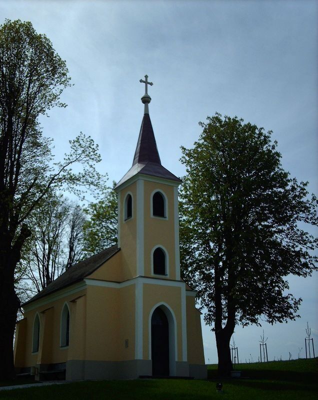
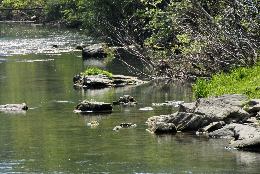
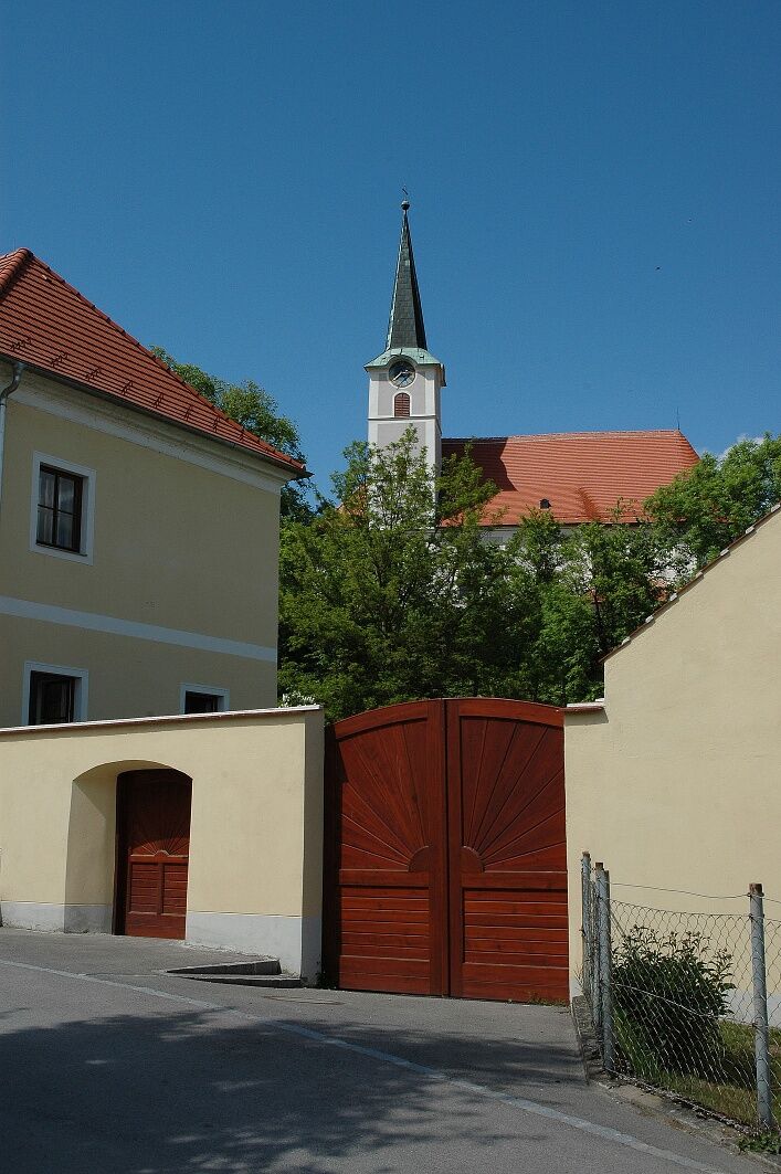
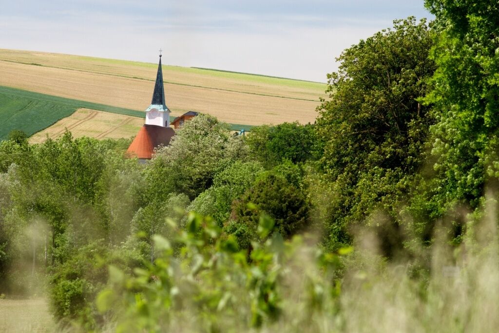
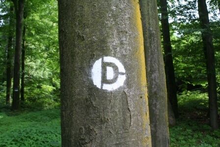

We start our DUR in Inning at the chapel and walk along the street past the Gasthof Birgl until we turn left after the motorway underpass. After the railway underpass, we keep right and march along a wild rose hedge until the street where we turn left and hike to Rohr. In Rohr, we turn right and approach federal highway 1. Before the federal highway, an idyllic field path leads off to the left, which we follow to the road. After crossing the B1, we hike through the Lochau to the Sierninger Berg. After leaving the forest, we keep left and walk straight ahead until the next signpost points the way to the left. From here we go directly to the Sierninger Bergkreuz junction, from where a path leads to the summit cross. The detour is rewarded with a great view towards the state capital, and a bench invites you to rest. Back on the DUR, we walk downhill to Haunoldstein, where we turn right at the next crossroad towards Groß Sierning. At the Raiffeisenbank, a detour to the Bründlkapelle (legend spot) and the train station is signposted. The DUR continues along the federal highway and passes the local supplier "Land lebt auf," where we turn left towards the Pielach. On hot days, the river bath, which is signposted at the next crossing, invites you to a refreshing swim. On the left, we follow the street and cross the Pielach weir towards the Pielachhäuser, where we turn right. We hike to the next intersection where we turn right and follow the Pielach to Wimpassing. Here, we pass between two houses and gradually reach the soccer field, where we turn left at the end. At the next crossroad, we turn right and then immediately left until we reach our destination, the church square.
Sturdy hiking boots, rain protection, sufficient drinks and food as well as a Dunkelsteinerwald hiking map.
Inning: A1 exit Loosdorf, continue left to Inning
Hafnerbach: A1 exit Loosdorf, continue on B1 towards Groß Sierning, turn onto L5143 to Hafnerbach
Inning: Regional bus line 683 to Loosdorf and Melk
Hafnerbach: Regional bus line 484 to Prinzersdorf (Westbahn) or St. Pölten
Free parking is available in Inning and at the church square in Hafnerbach.
Book tip: In the Realm of the Unicorn - Fairy tales and legends from the Dunkelsteinerwald
Available at www.dunkelsteinerwaldrunde.at.
Obľúbené výlety v okolí
-
4,6
AGGSTEIN Ruine, Aggstein, Druidentürme und zurück 20241019
strednáTuristika 7,50 km -
4,6
Welterbesteig Wachau 08: Emmersdorf-Melk
svetlodiaľková pešia trasa 9,90 km -
4,3
Welterbesteig Wachau 07: Aggsbach Markt-Emmersdorf (Naturpark Jauerling-Wachau)
svetlodiaľková pešia trasa 14,6 km -
4,6
Welterbesteig Wachau 06: Maria Laach-Aggsbach Markt (Naturpark Jauerling-Wachau)
svetlodiaľková pešia trasa 7,04 km -
4,1
Hiesberg Gipfelkreuz Rundweg
svetloTuristika 7,38 km -
5,0
Gipfelkreuz-Rundwanderweg - Loosdorf
svetloTuristika 5,45 km -
4,0
Welterbesteig Wachau 09: Melk-Aggsbach Dorf
svetlodiaľková pešia trasa 16,9 km -
4,2
Drei-Seen-Runde St. Pölten
svetloTuristika 5,02 km -
4,7
Windschnur - Dunkelstein Runde
svetloTuristika 12,3 km -
4,8
Wachau für Fortgeschrittene: Tischwand
ťažkéTuristika 11,2 km

Turistika a stopovanie


Nenechajte si ujsť ponuky a inšpiráciu na ďalšiu dovolenku
Vaša e-mailová adresa bol pridaný do poštového zoznamu.





