







alpannonia stage 1: Semmering - Feistritzsattel

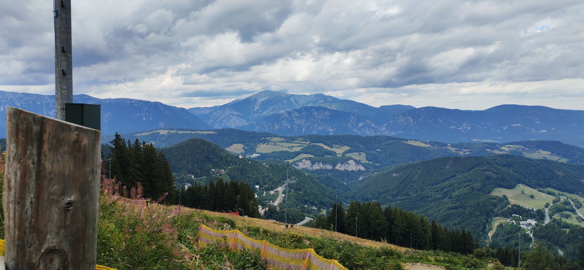
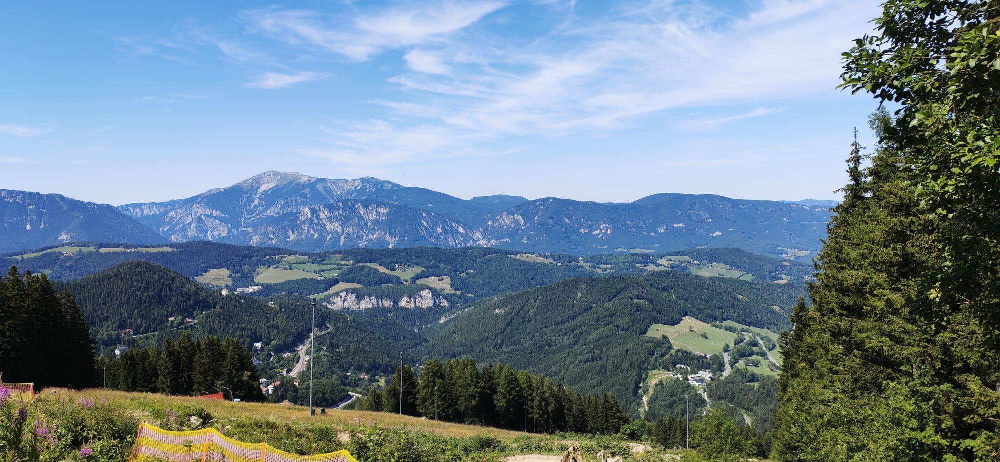
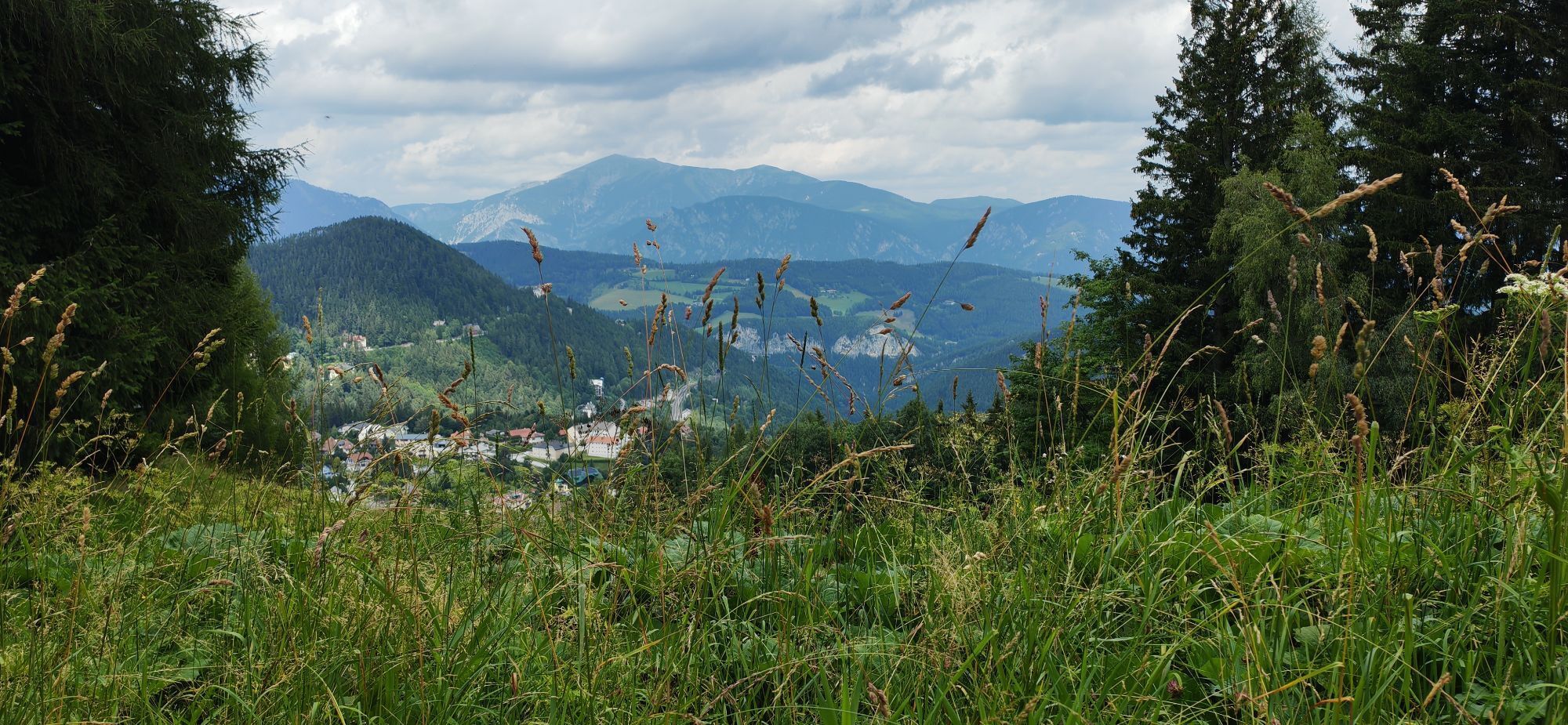
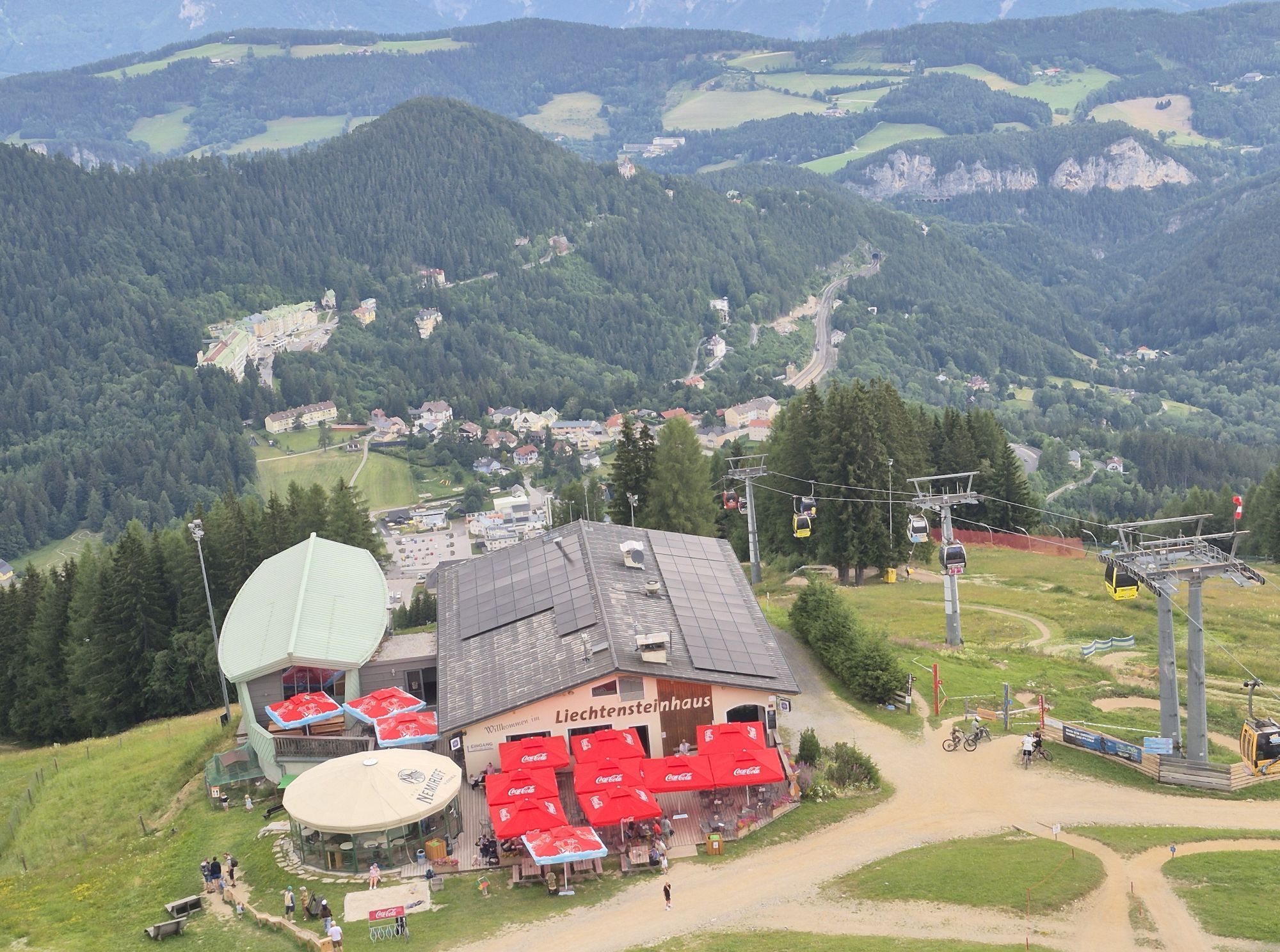
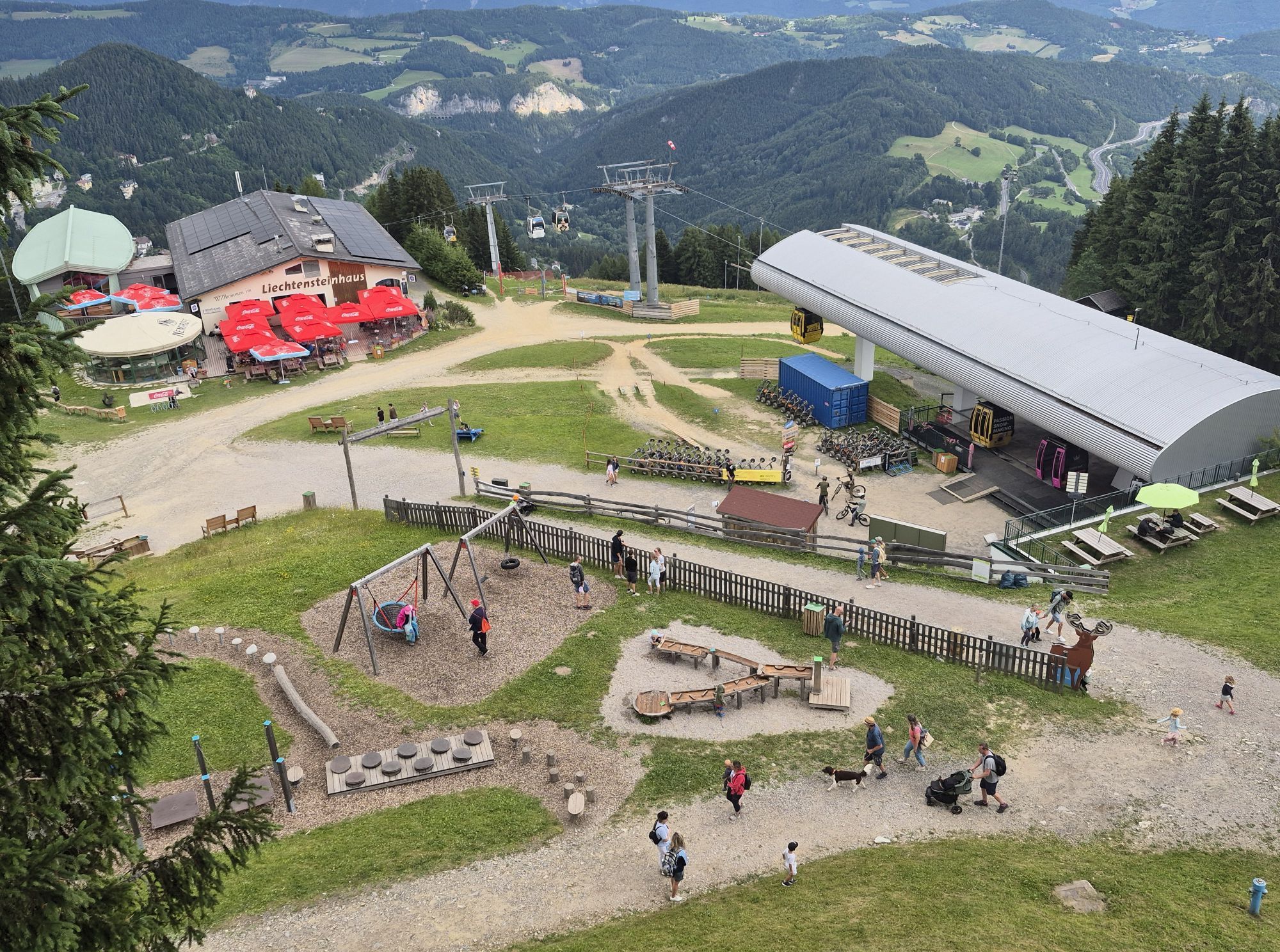
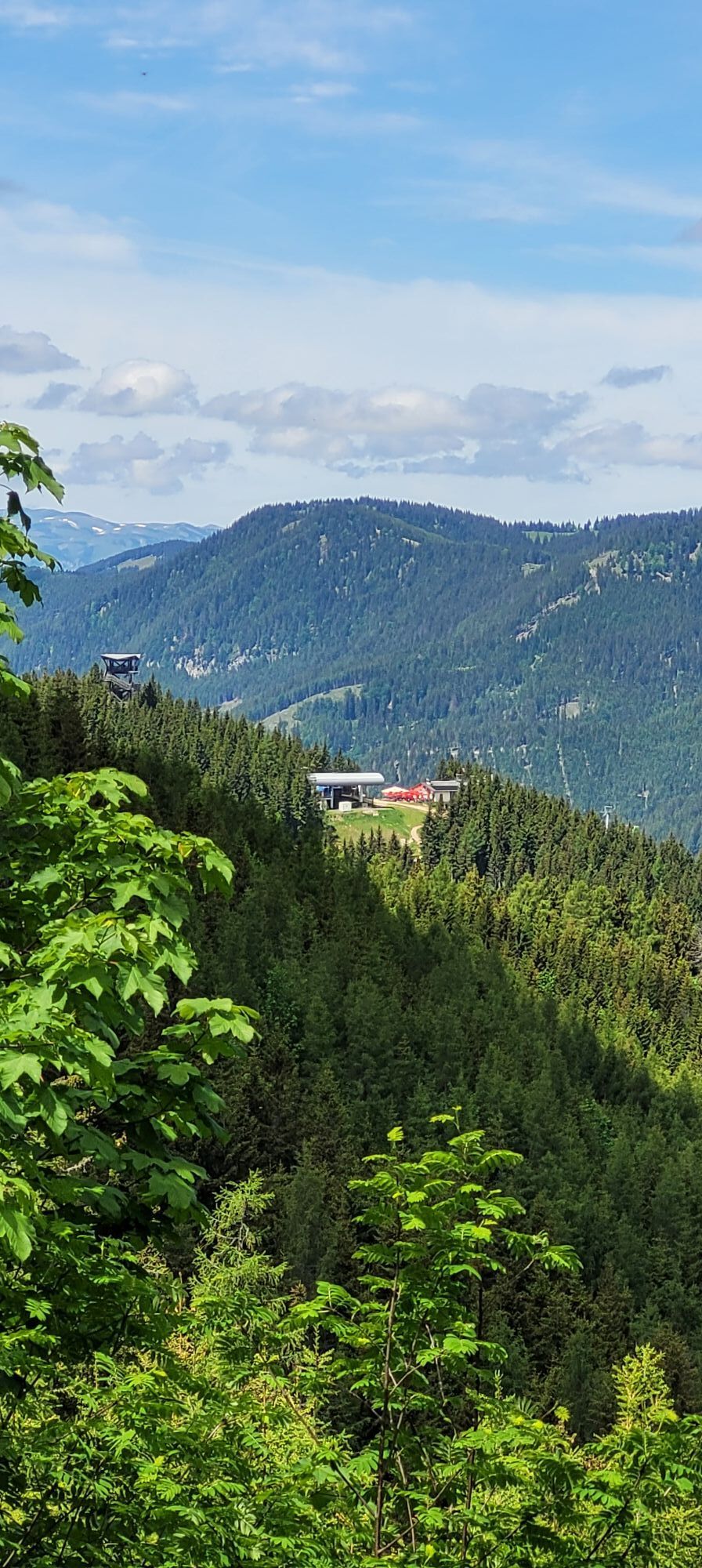
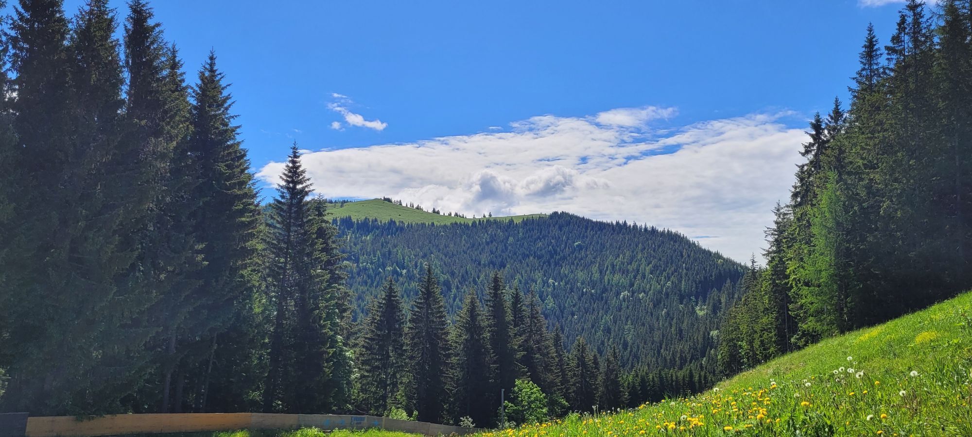
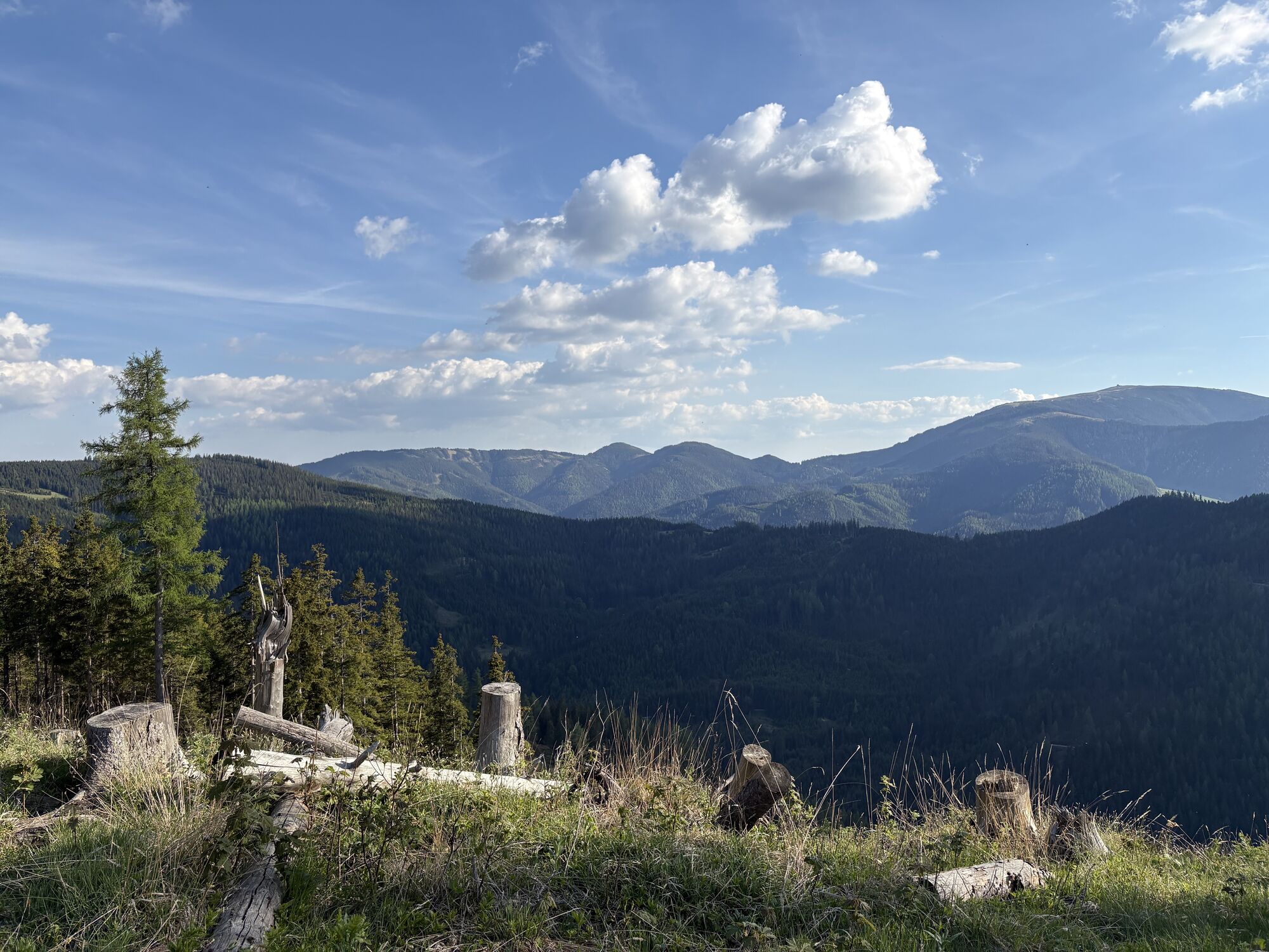
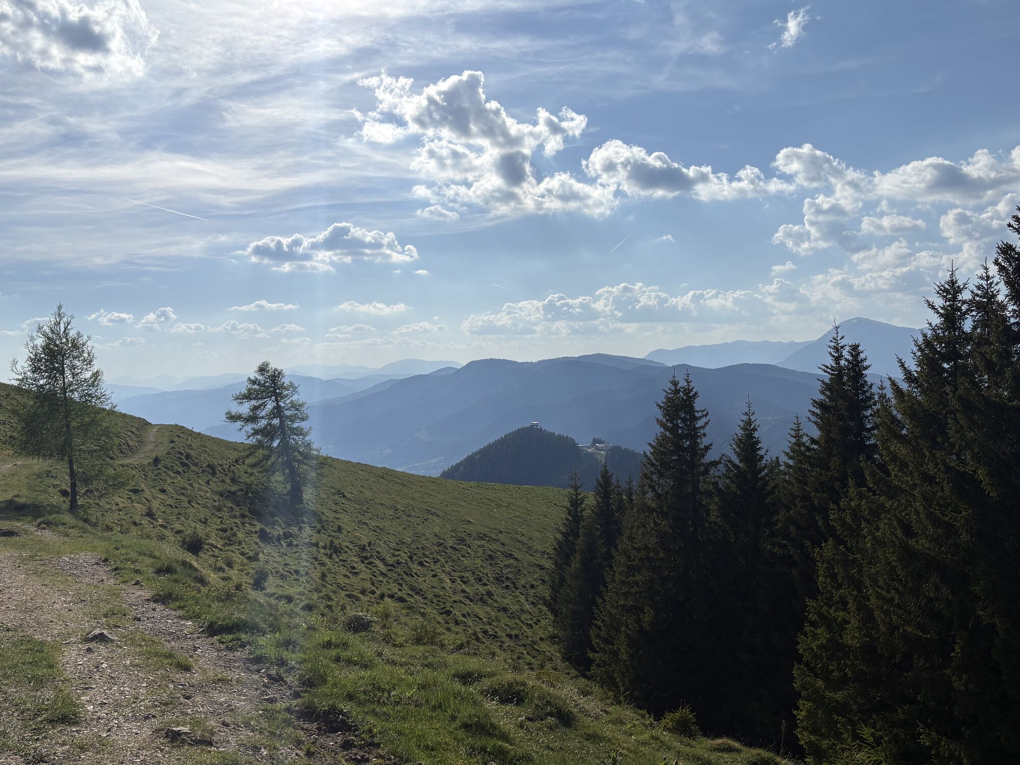
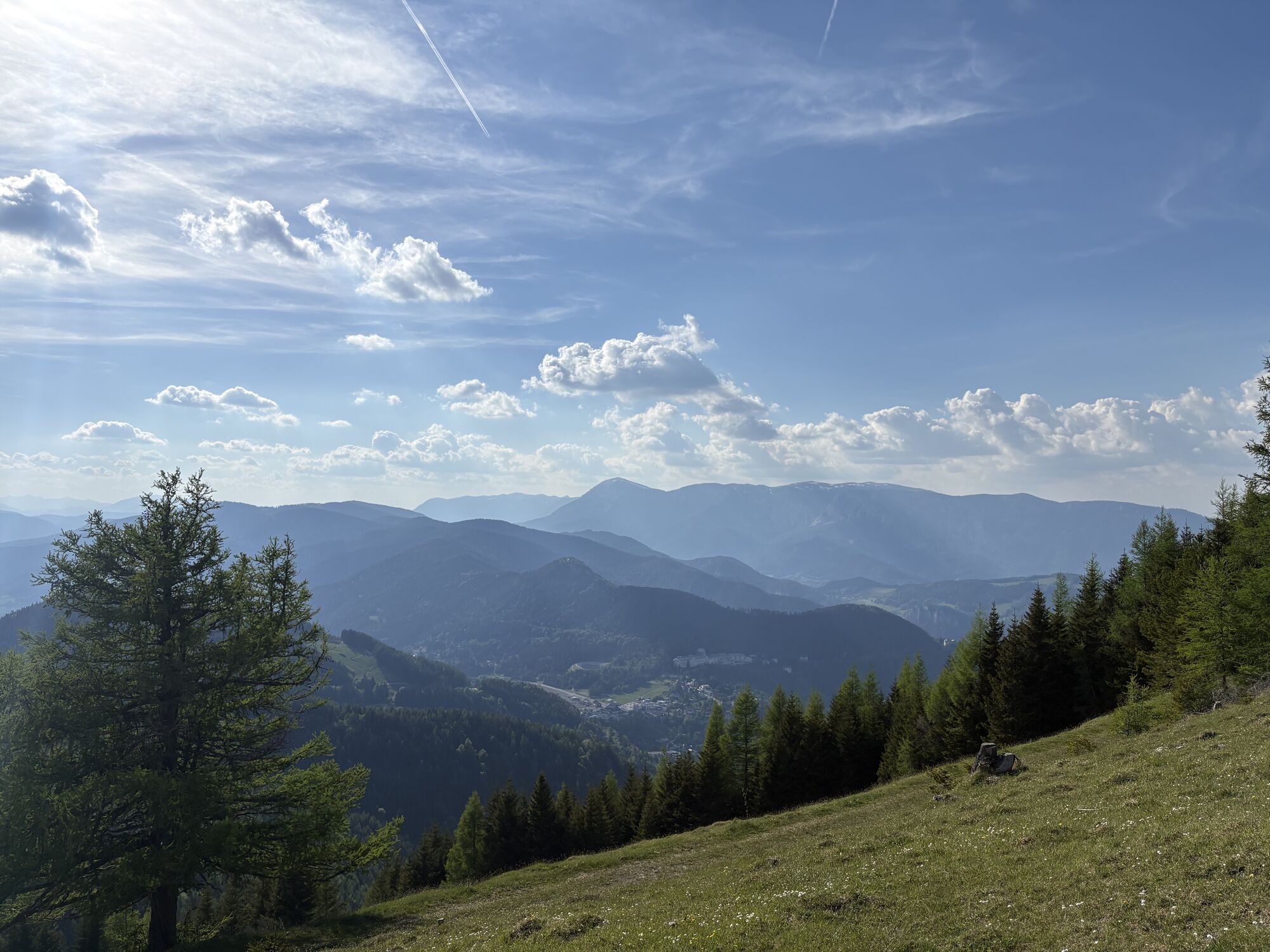
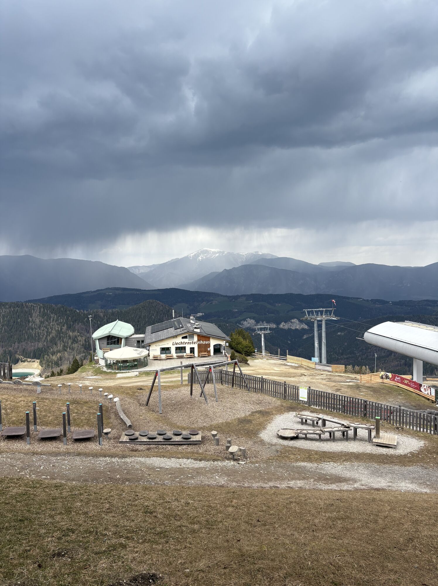
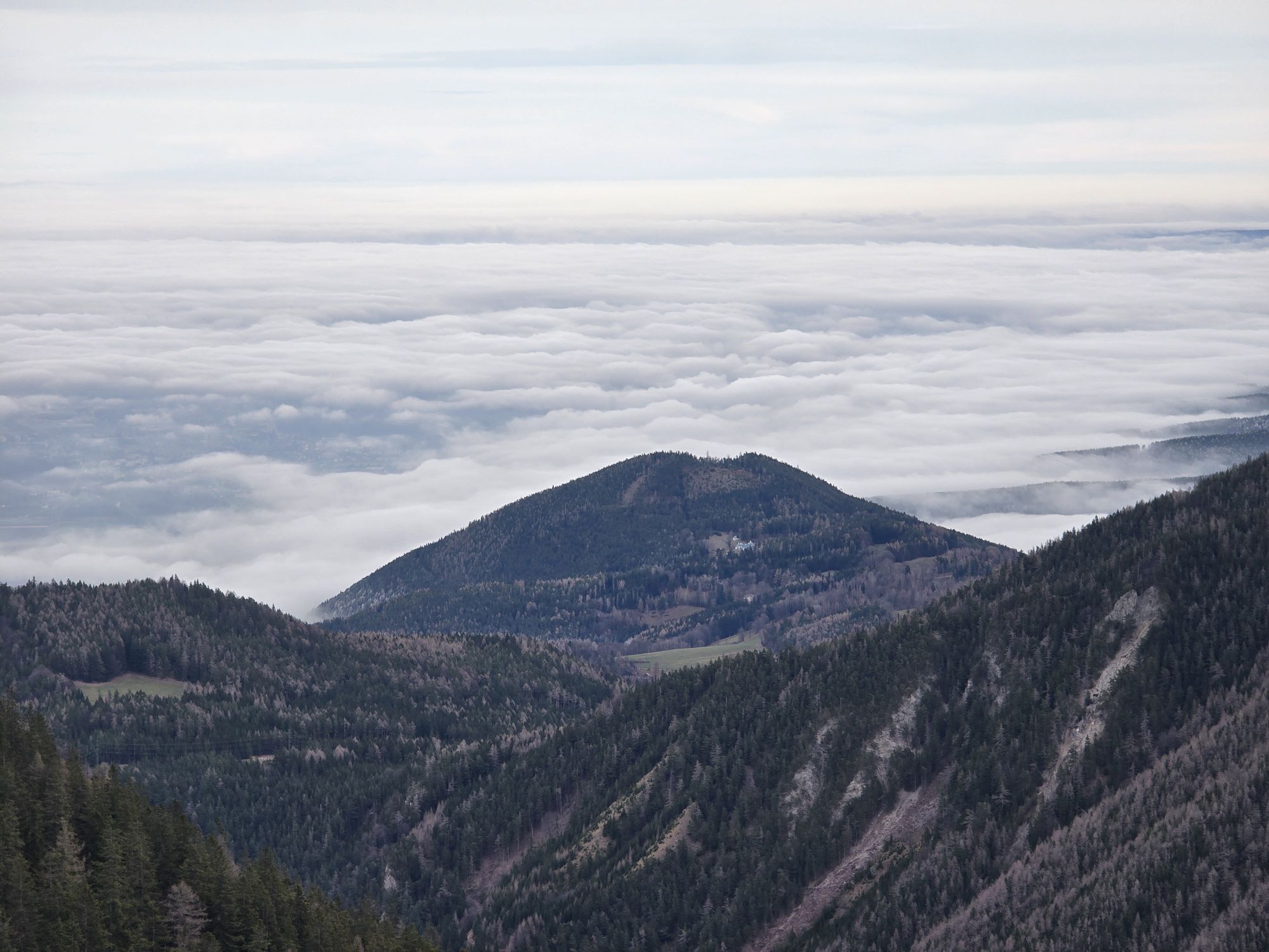
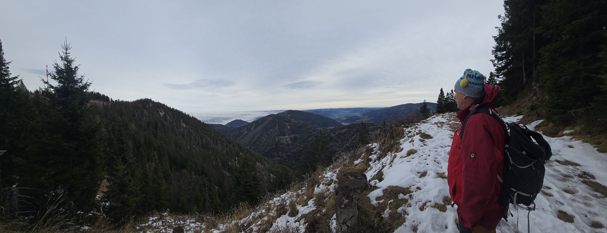
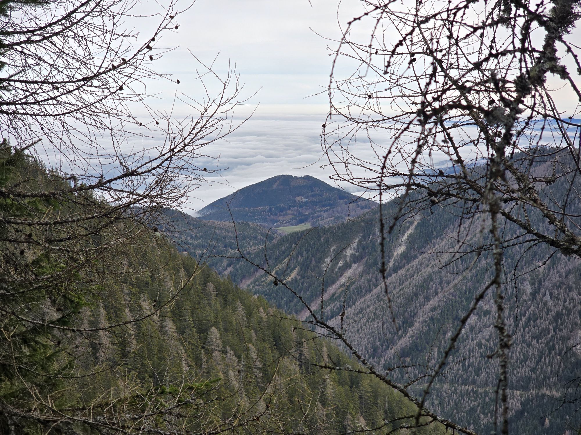
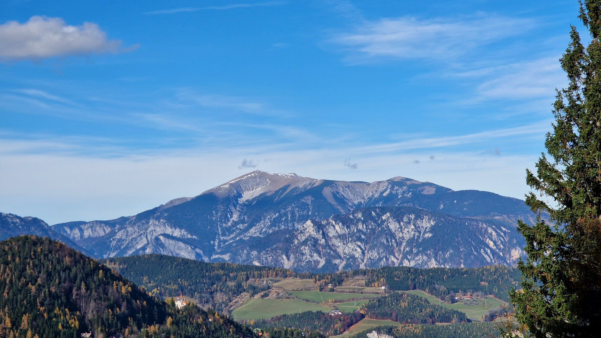
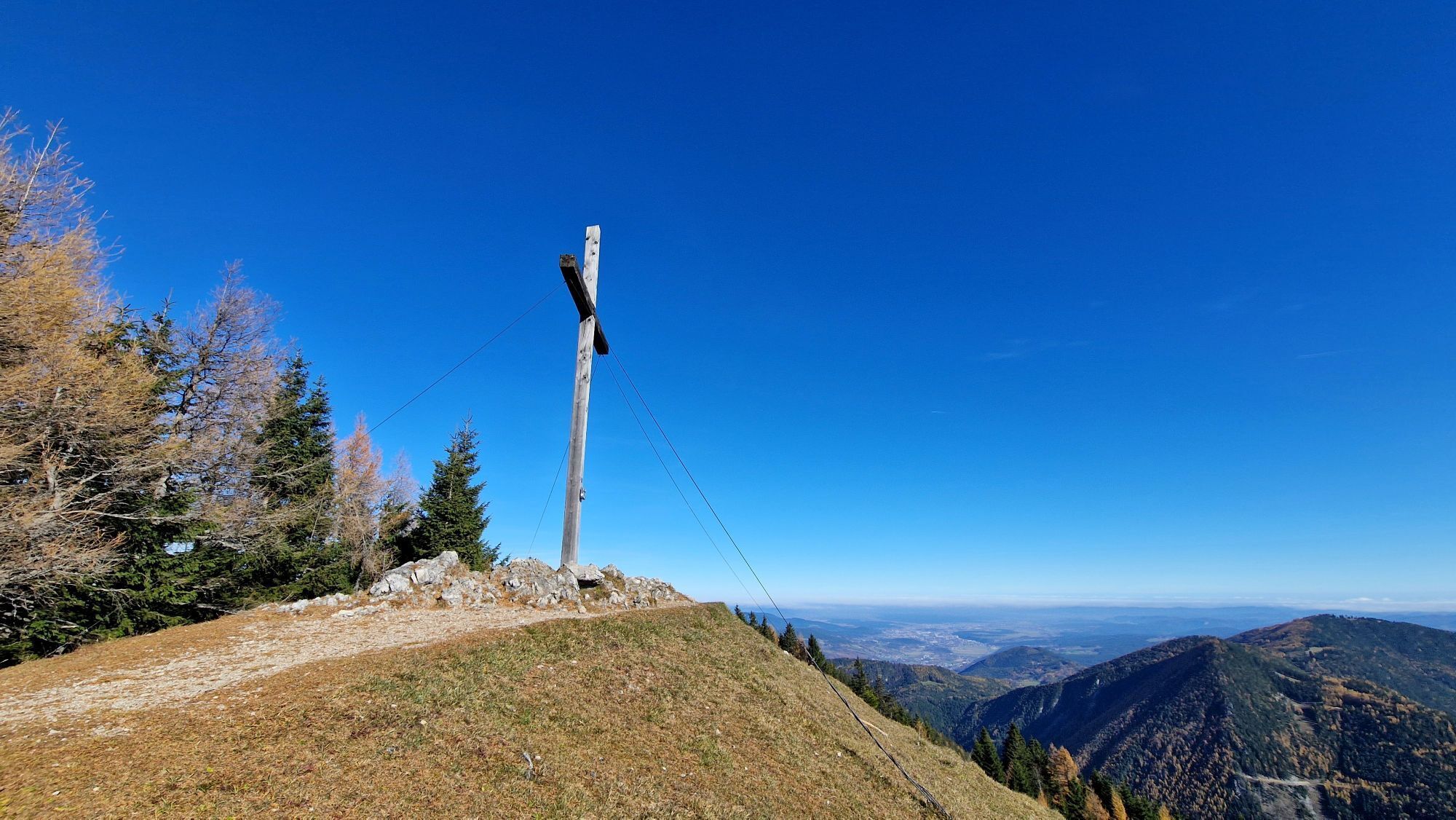
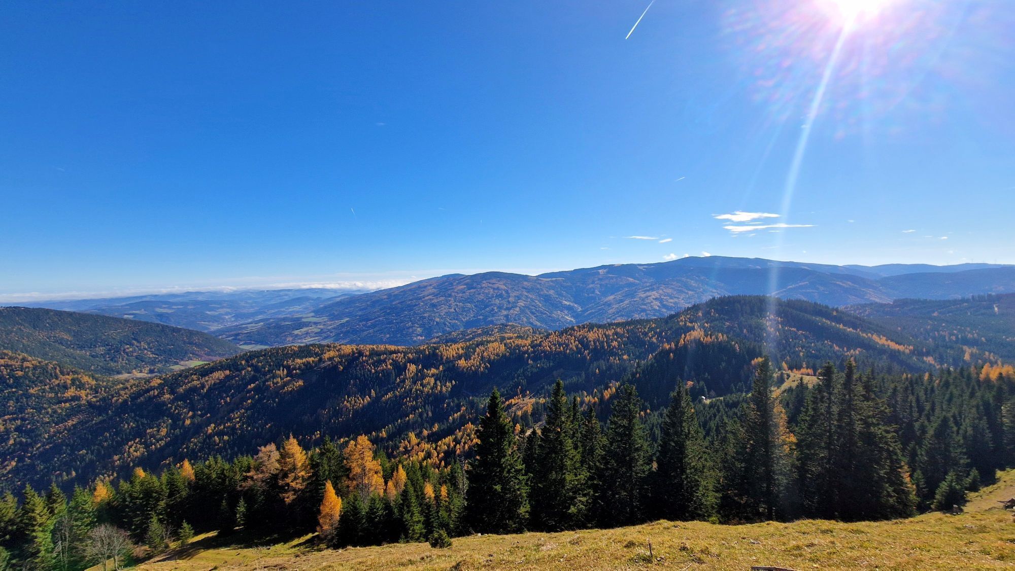
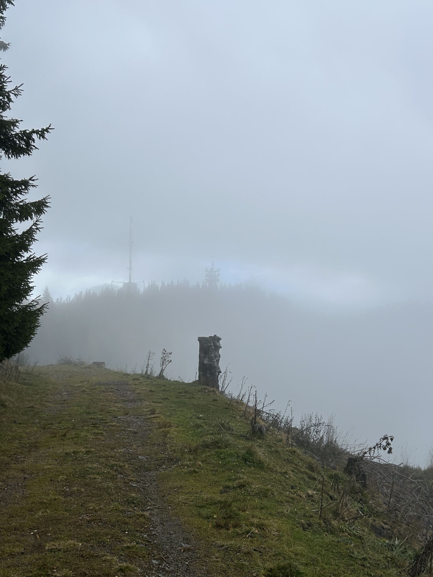

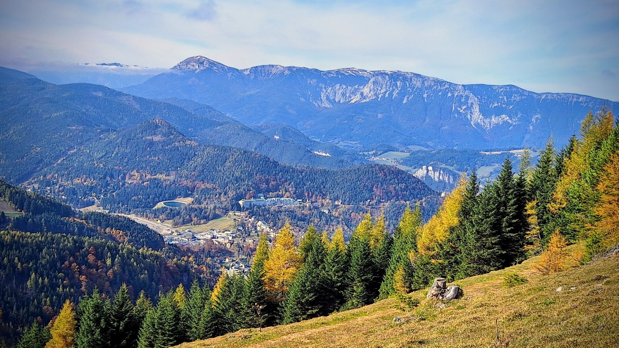


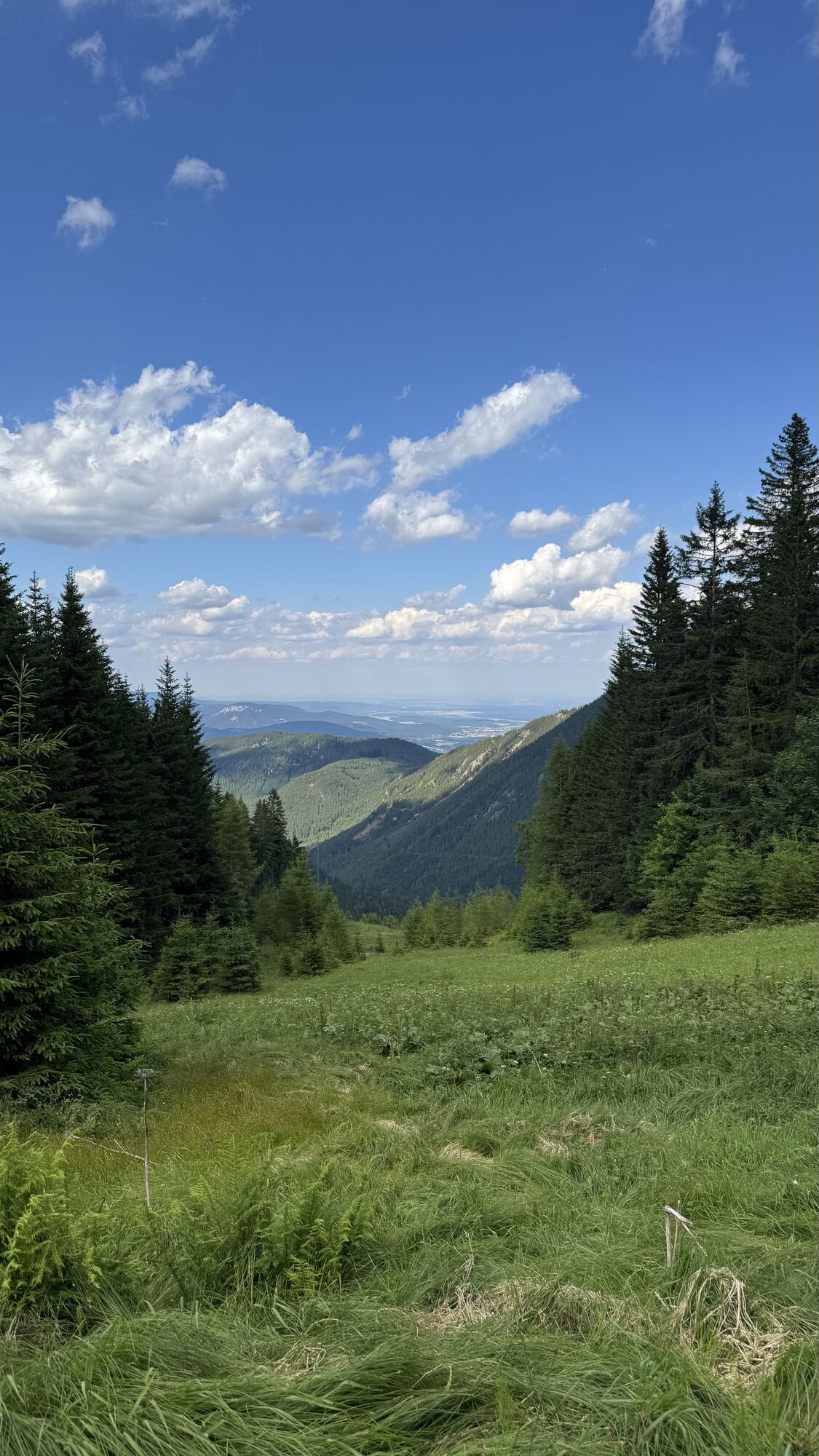
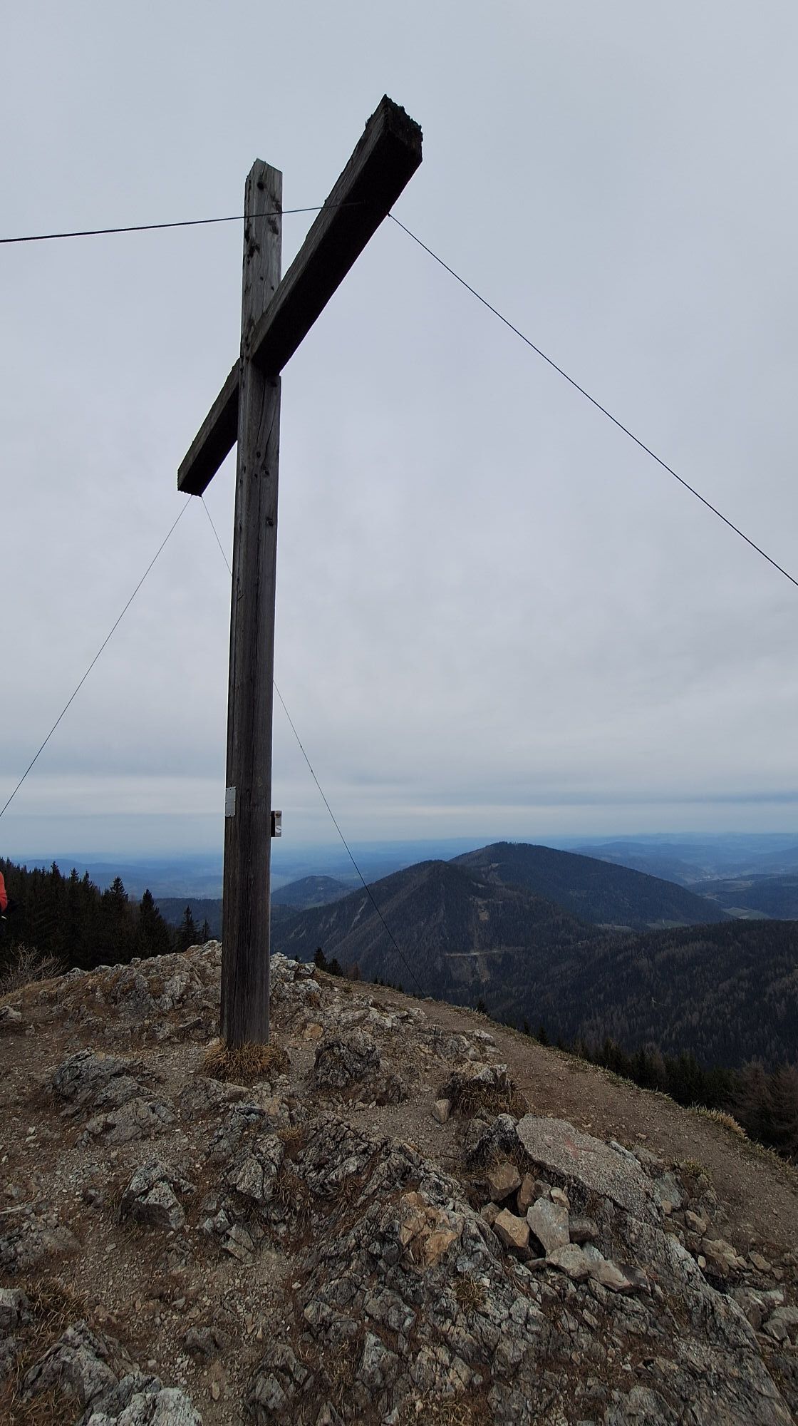
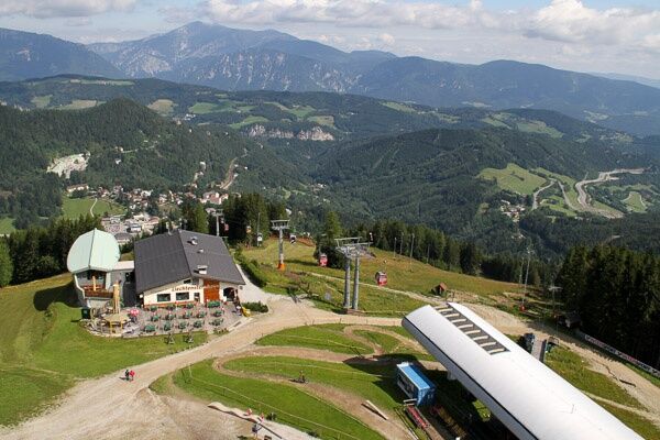
The official start of the alpannonia® hiking trail is at the Hirschenkogel valley station. From the Hirschenkogel summit station, the trail leads to the Sonnwendstein with its magnificent views of the...
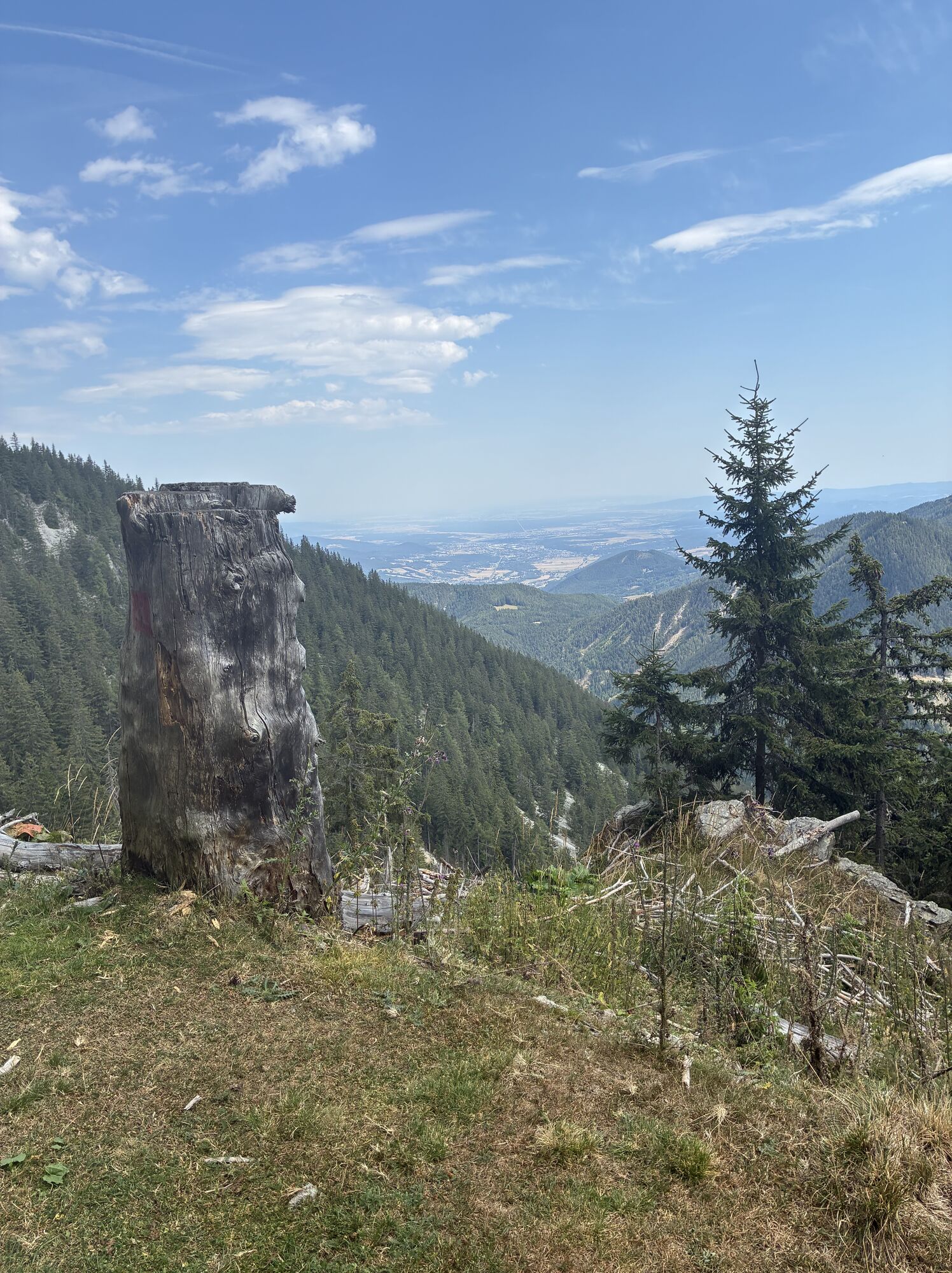
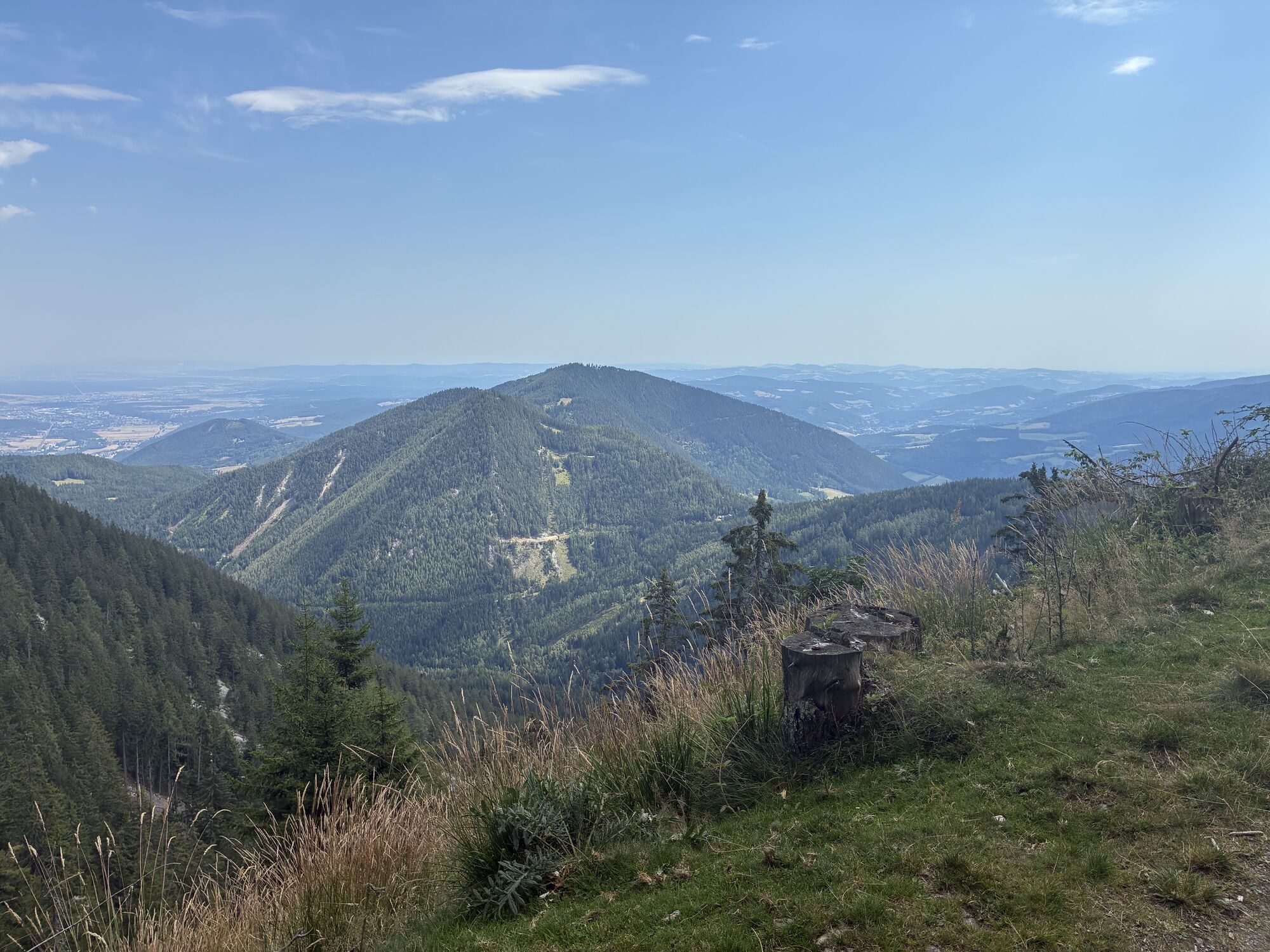
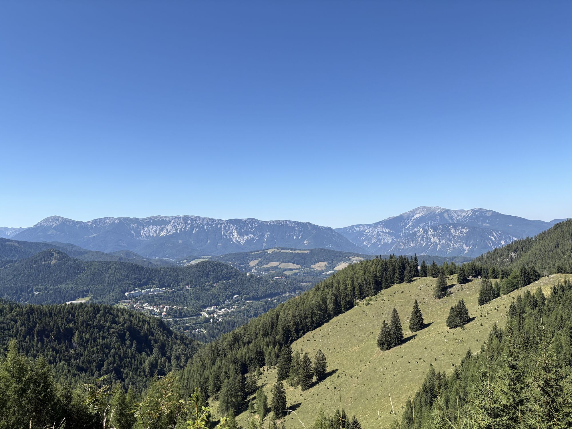
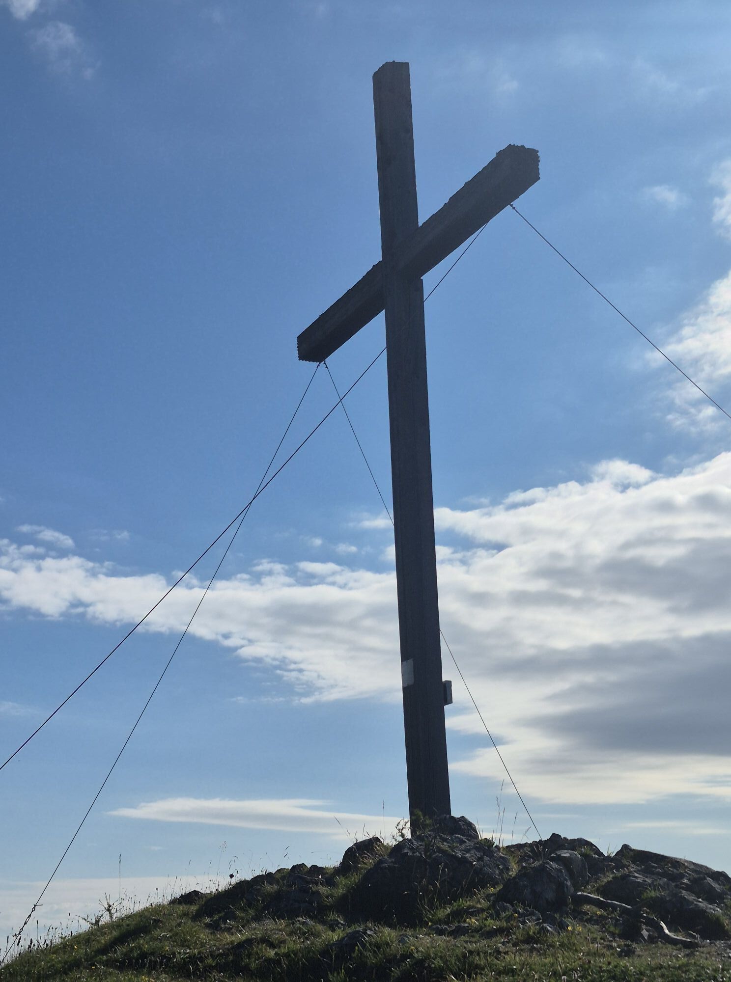
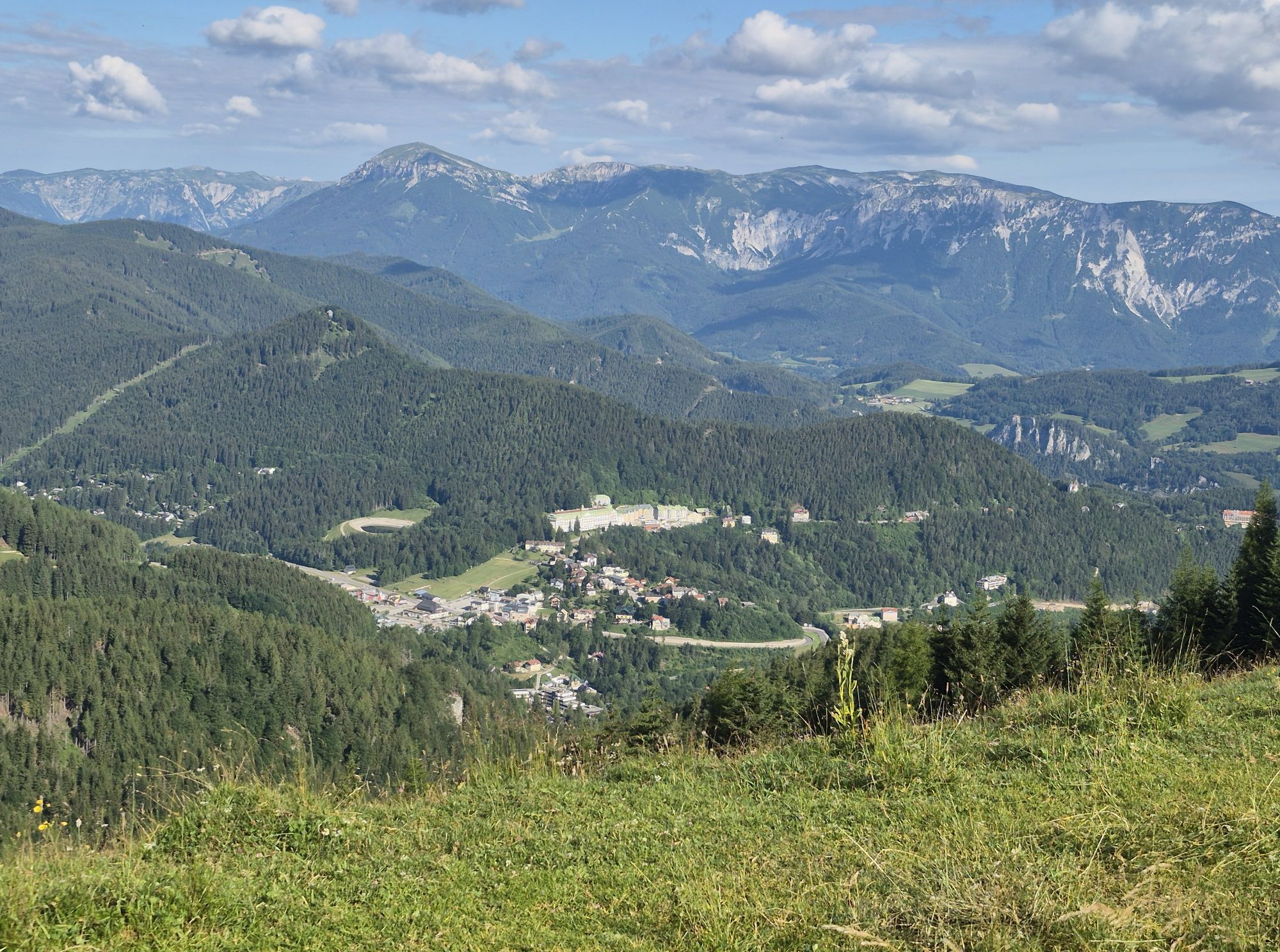
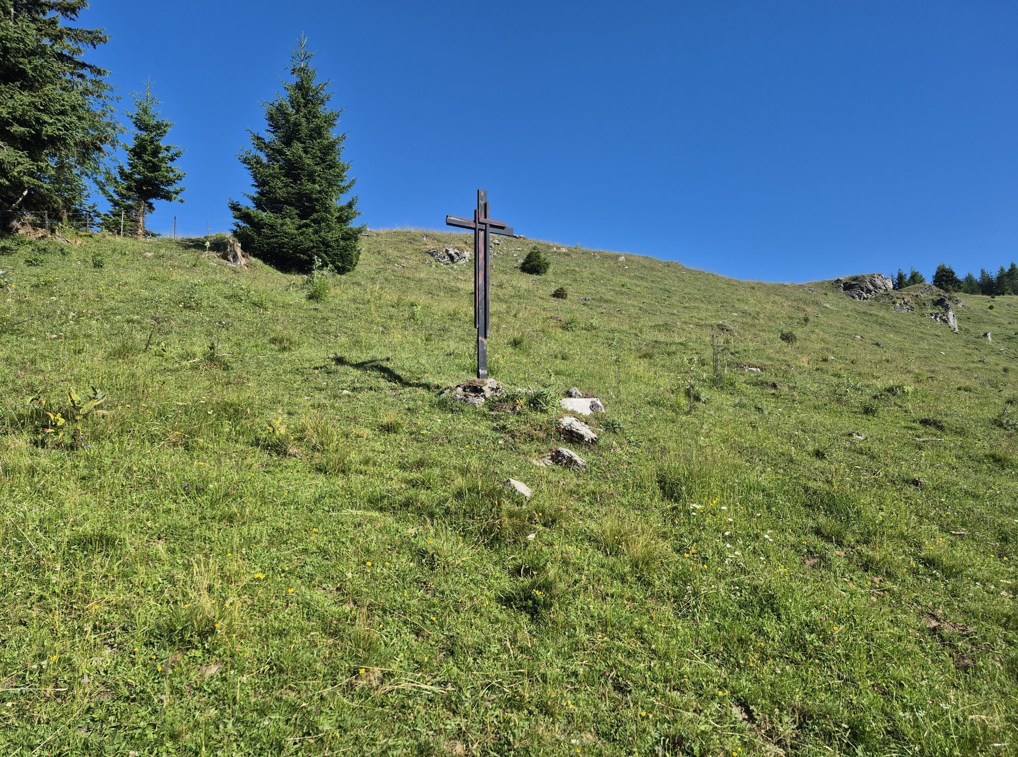
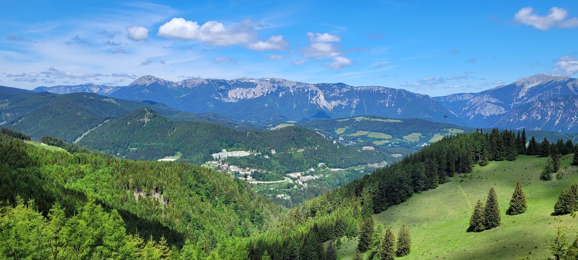
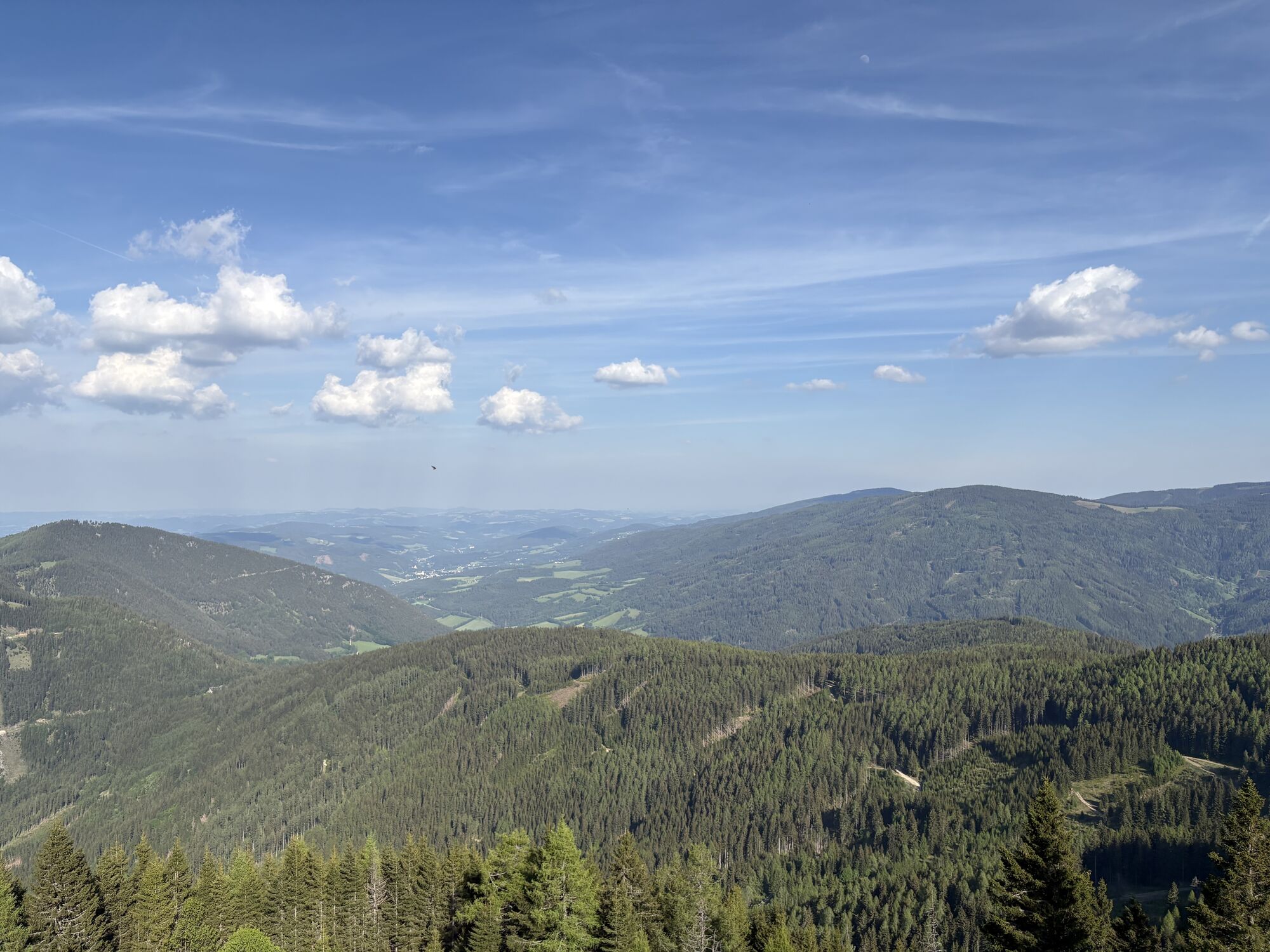
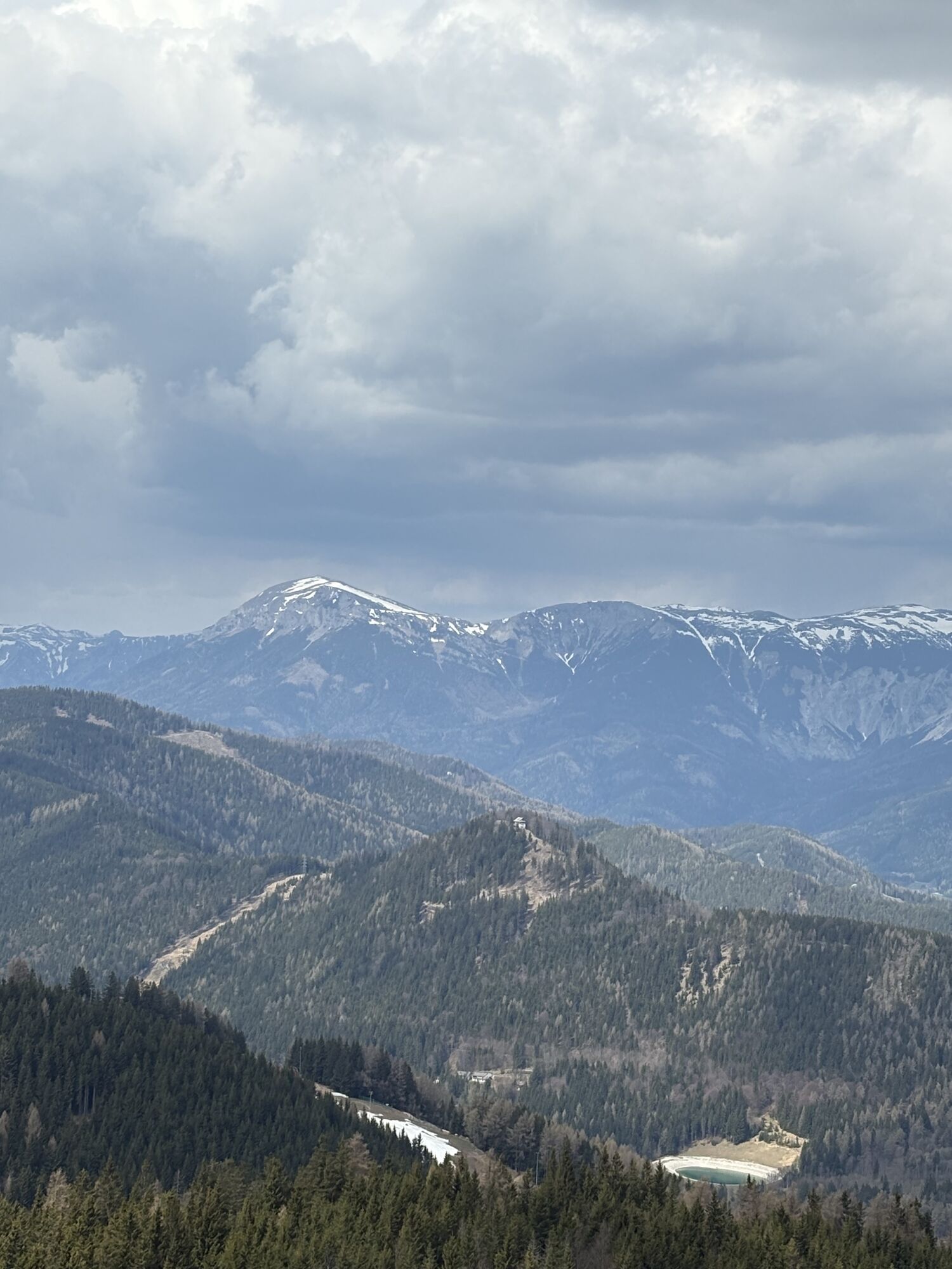
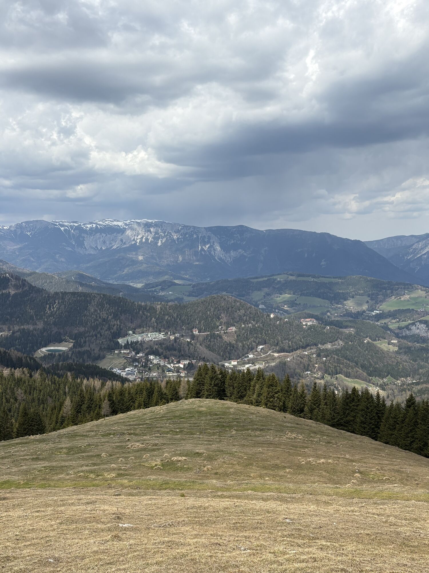
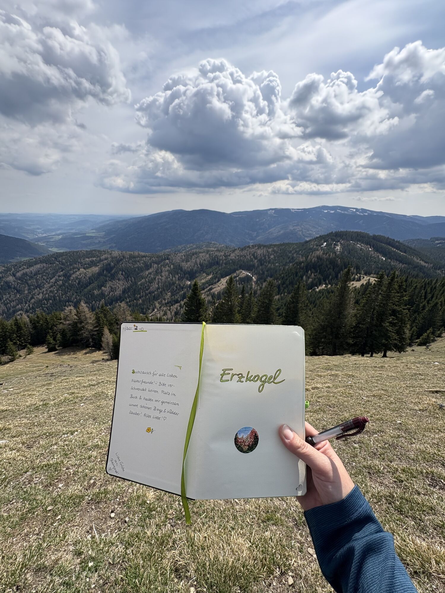
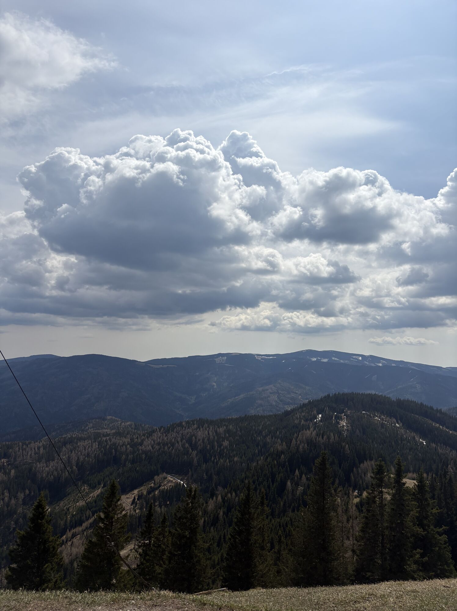
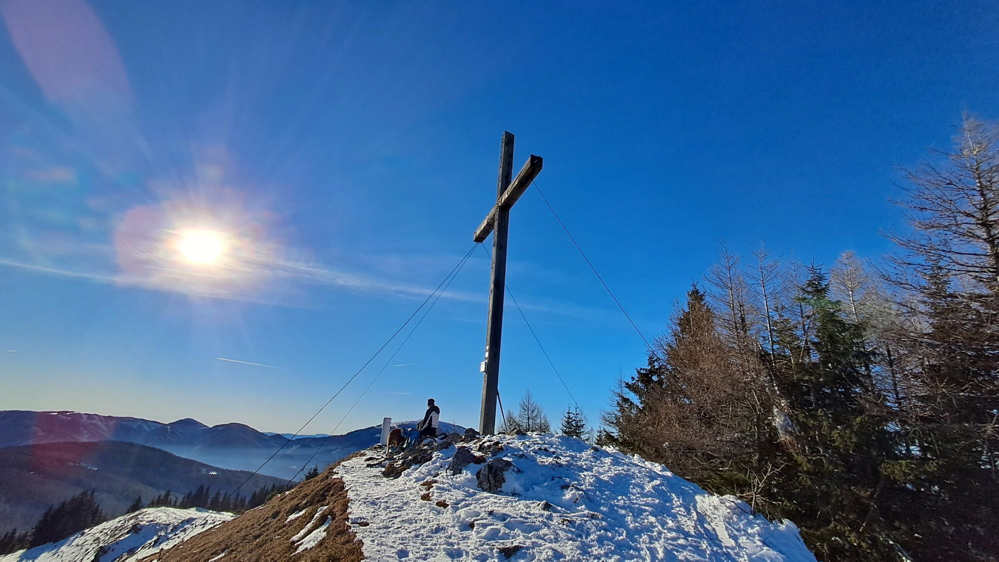
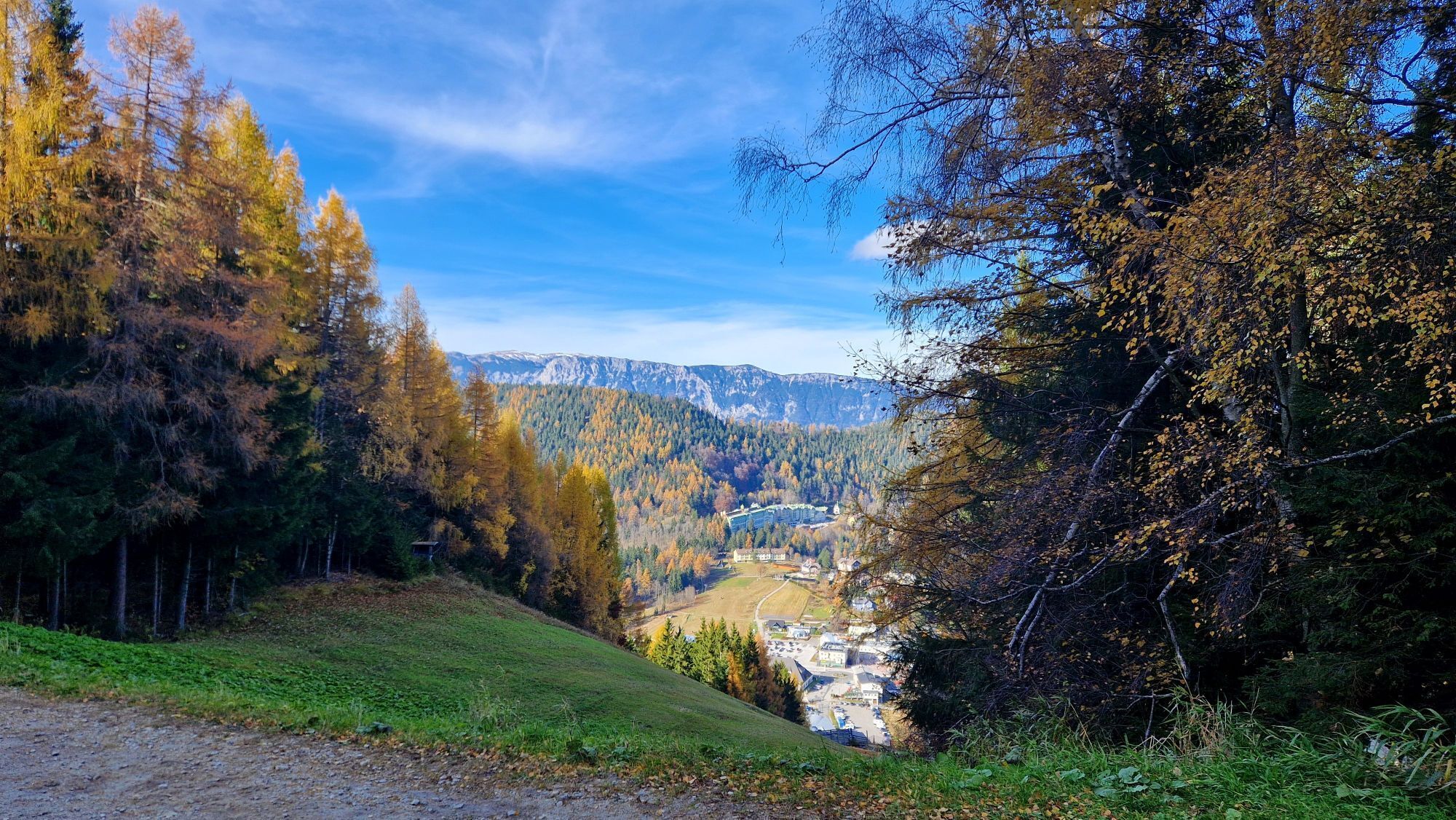
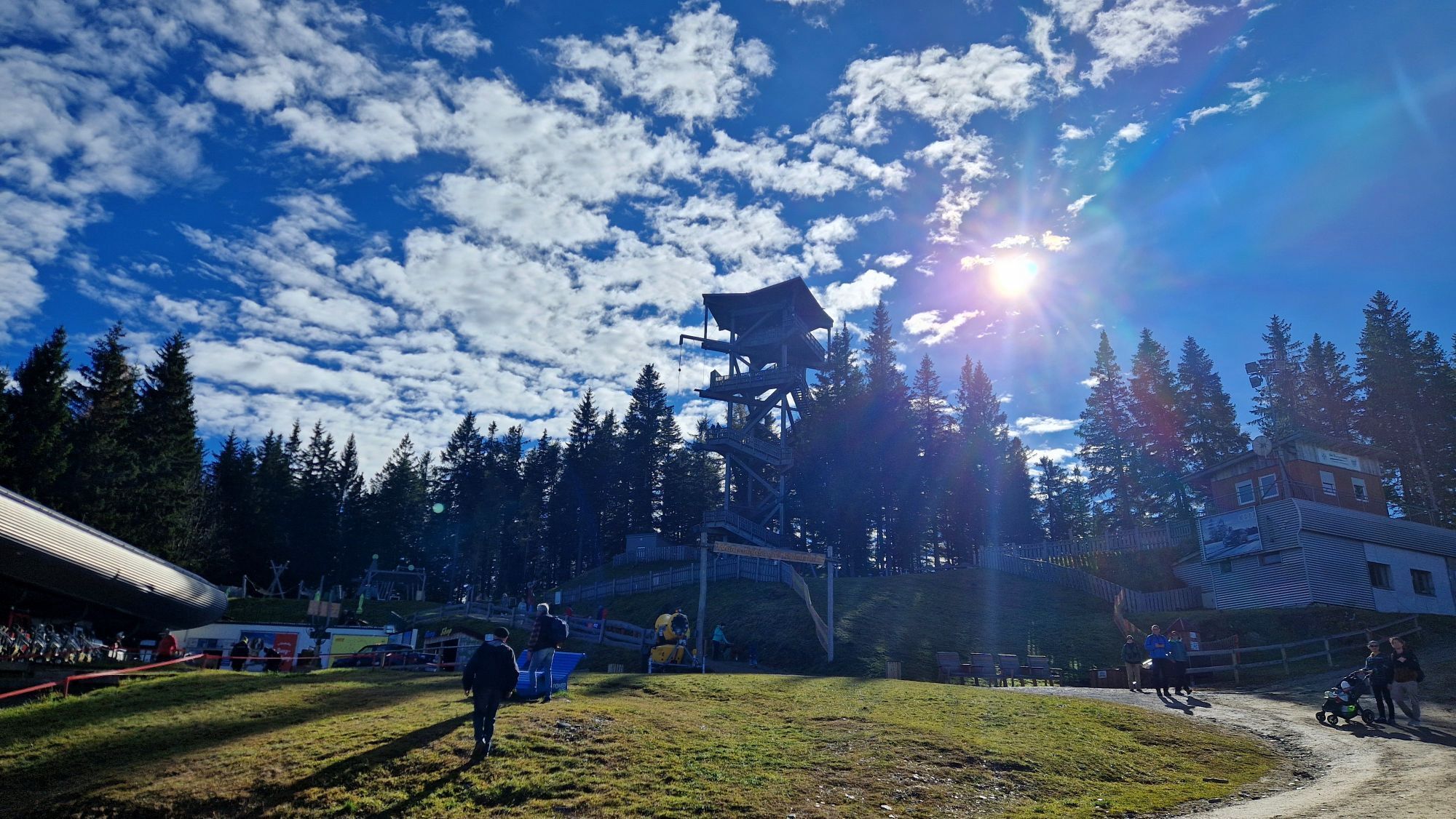
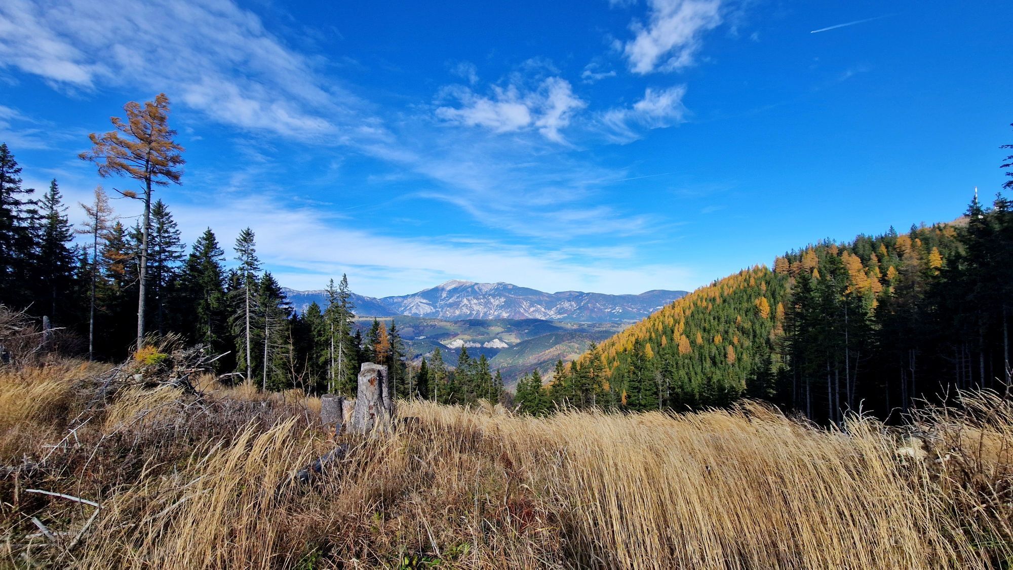
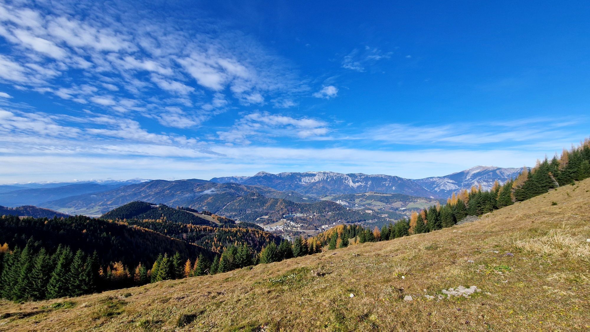
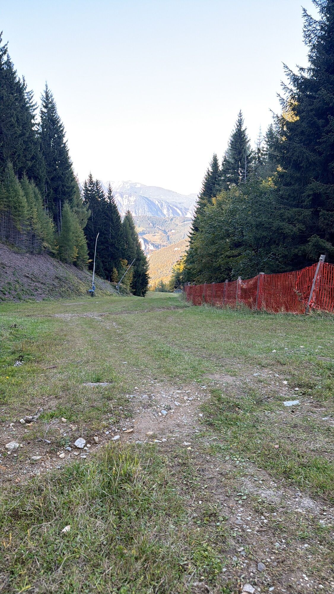
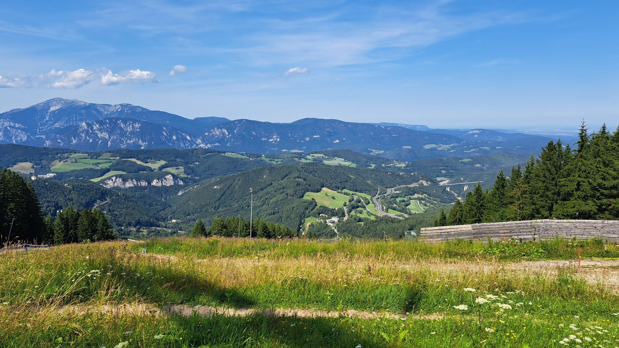
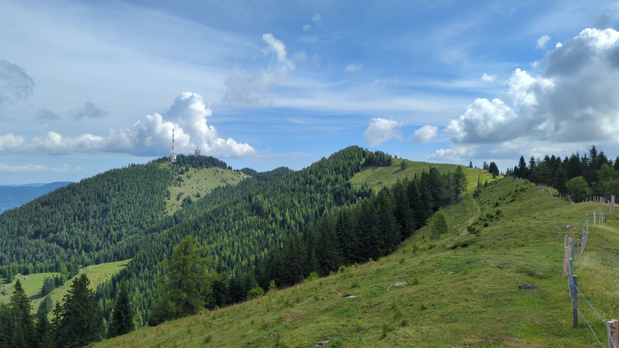
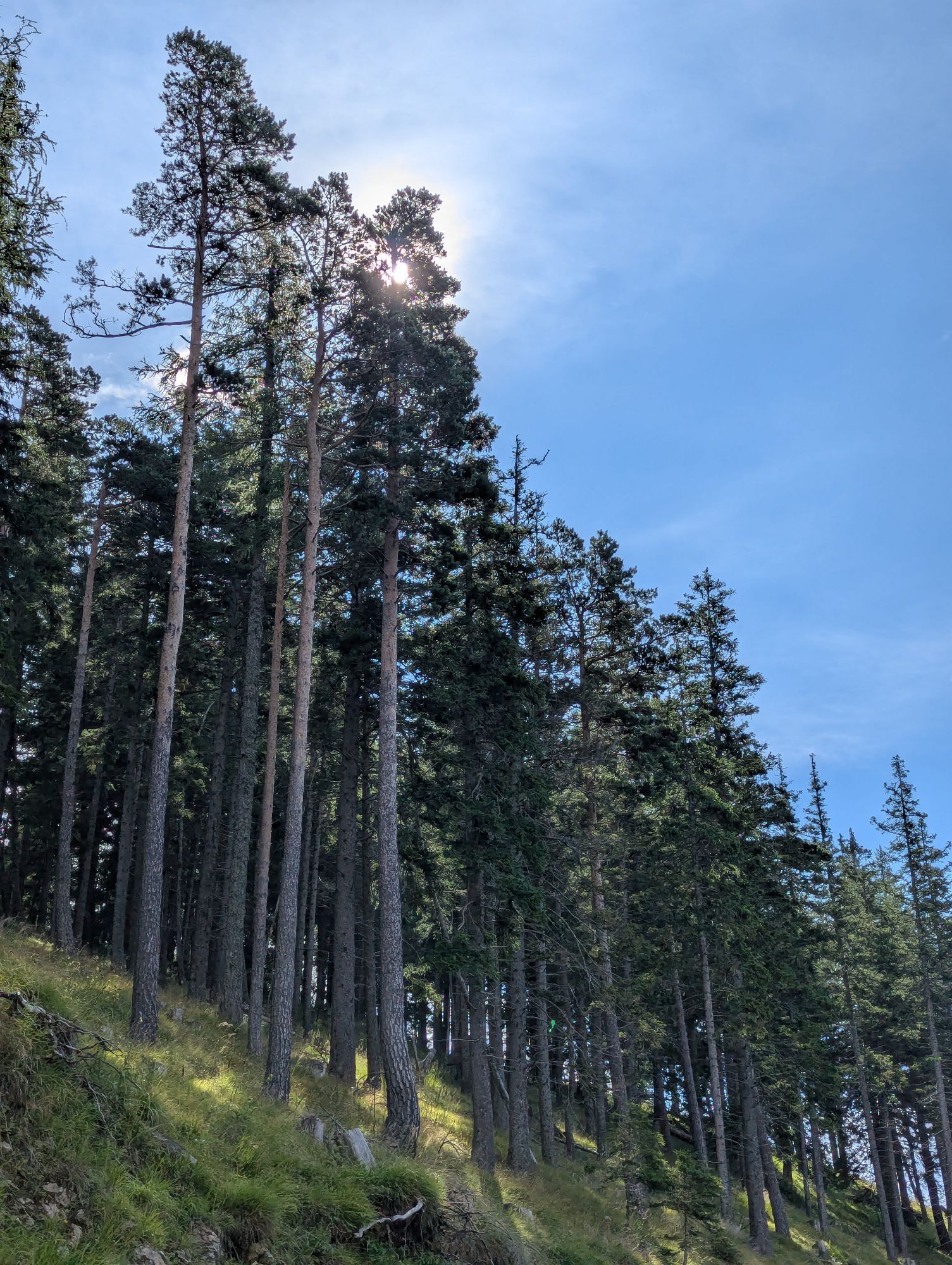
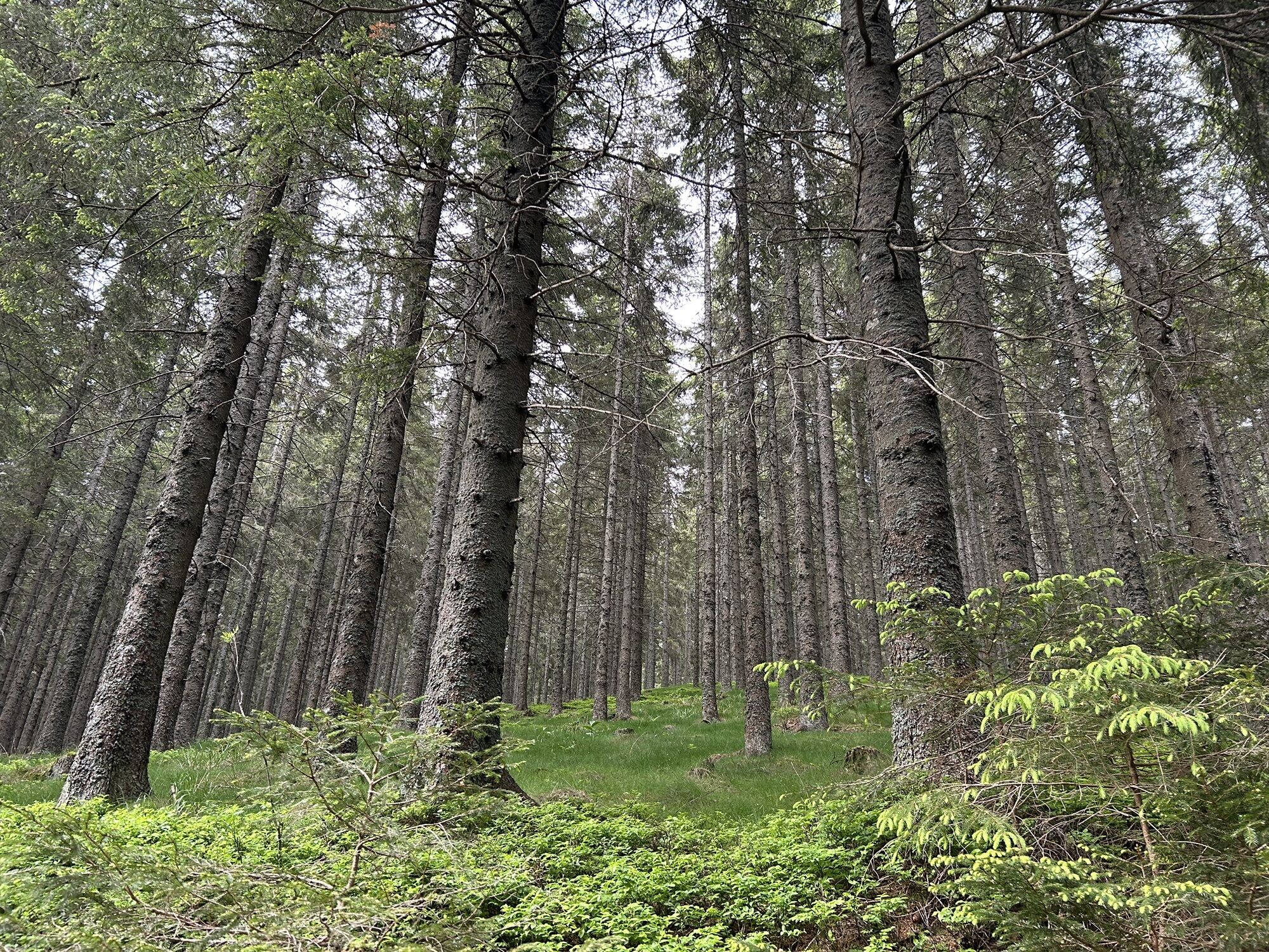
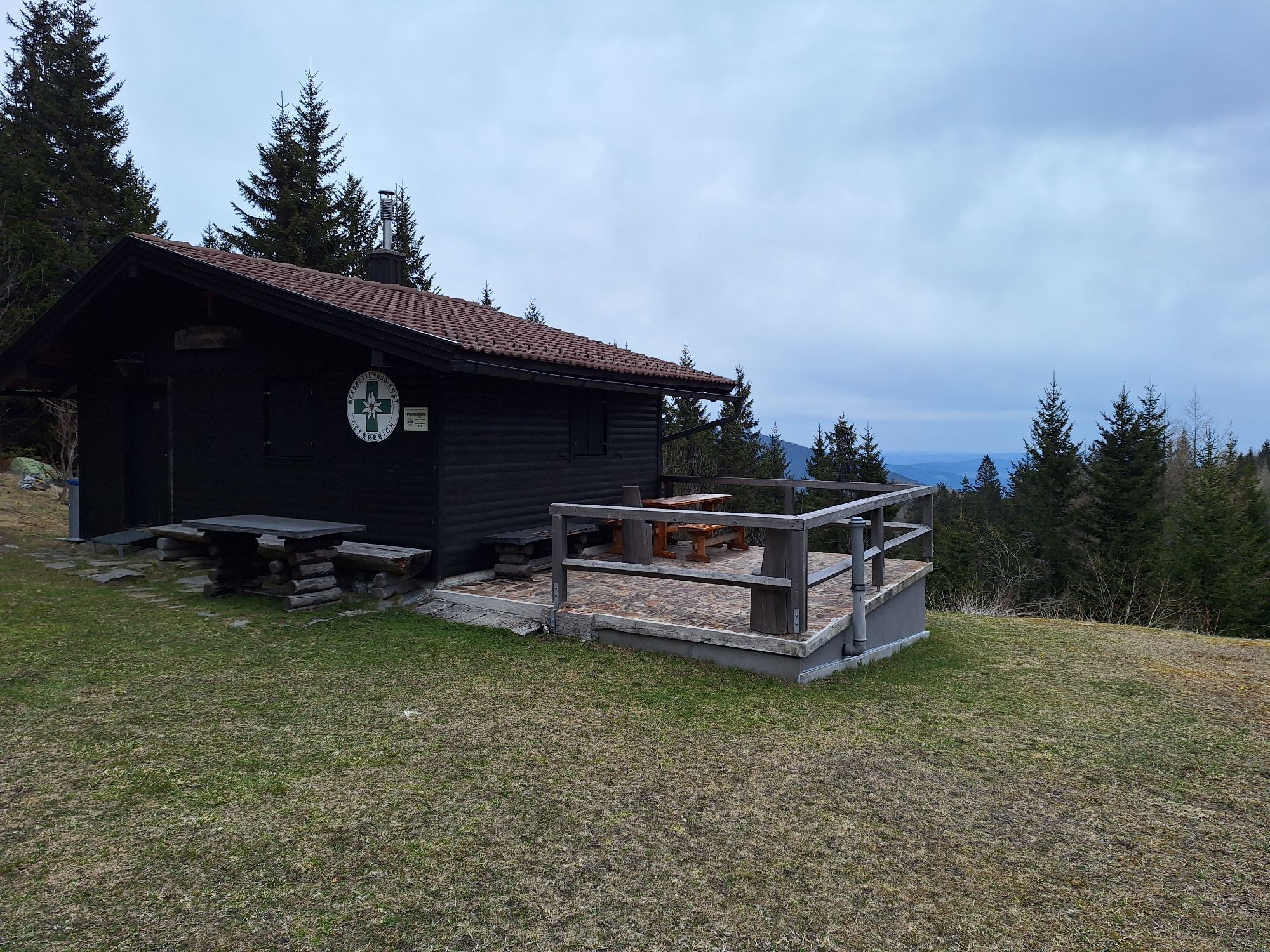
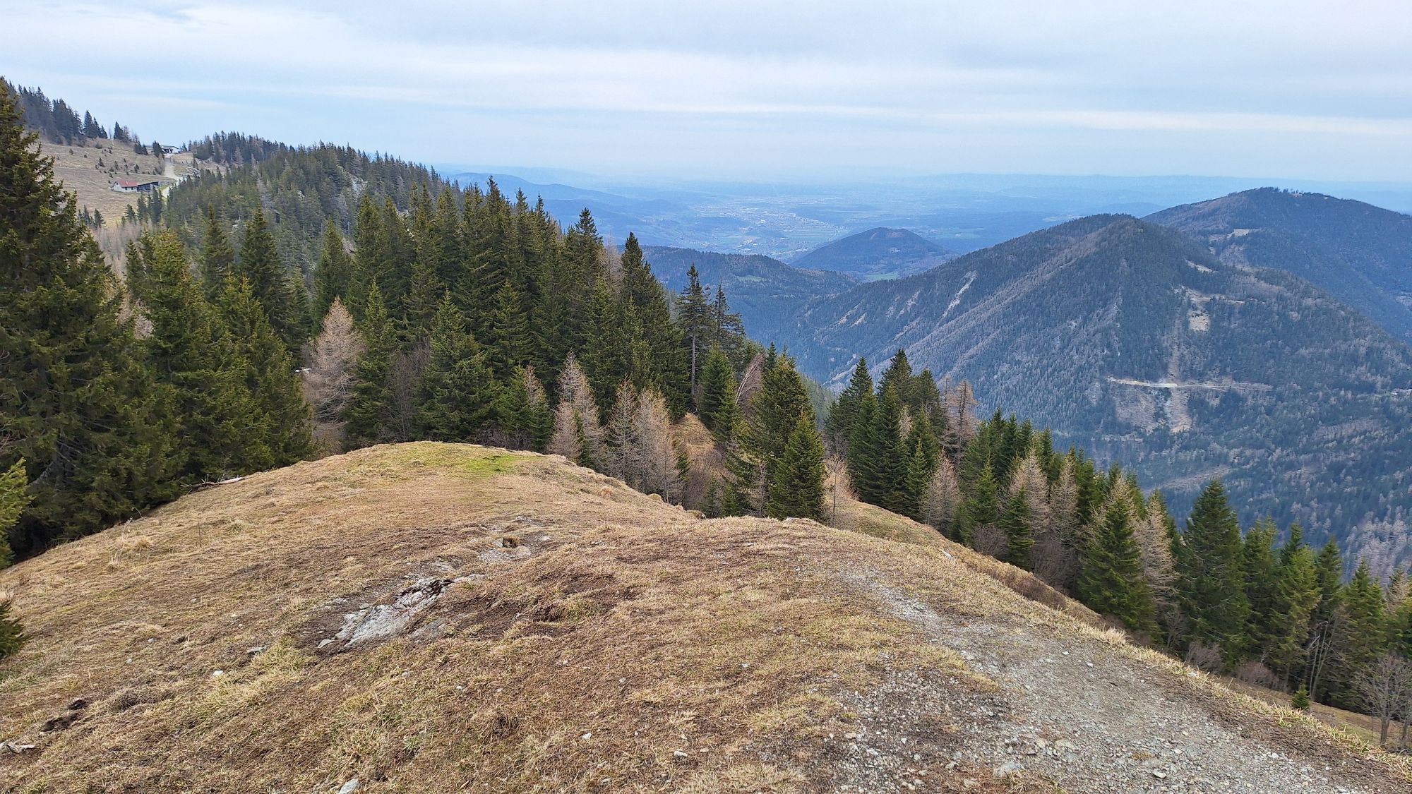
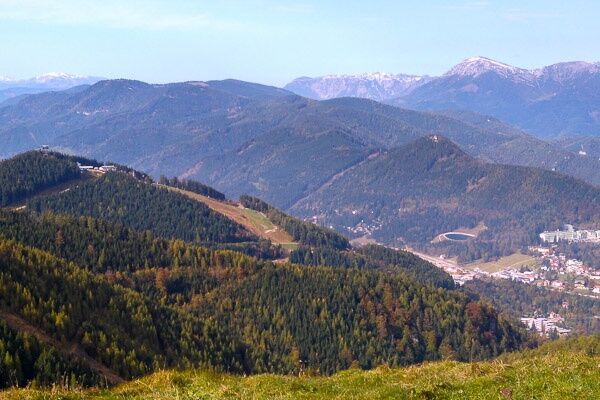
The official start of the alpannonia® hiking trail is at the Hirschenkogel valley station. From the Hirschenkogel summit station, the trail leads to the Sonnwendstein with its magnificent views of the Styrian-Lower Austrian Limestone Alps. From the Sonnwendstein, you then hike over the Arzkogel to the wine trail in the direction of the Feistritzsattel. Along the rest of the trail (almost exclusively in the forest with some beautiful views) you will also find some information about the Gebirgsjäger Memorial Trail. At the Feistritzsattel you meet the main trail coming from Fischbach.
There is no overnight accommodation directly at the Feistritzsattel. The nearest village is Trattenbach. Walking time approx. 45 min.
The cab company Karl Mayrhofer (Tel. 0664/ 1512750) offers a shuttle service from Feistritzsattel to Trattenbach.
ATTENTION: there is no cell phone reception at the Feistritzsattel, it is best to reserve the shuttle in advance at the start of the stage!
Alternative route: After the Alpkogel, turn off via the regional Trattenbach route. The next day, take the shuttle to the Feistritzsattel or Pfaffensattel.
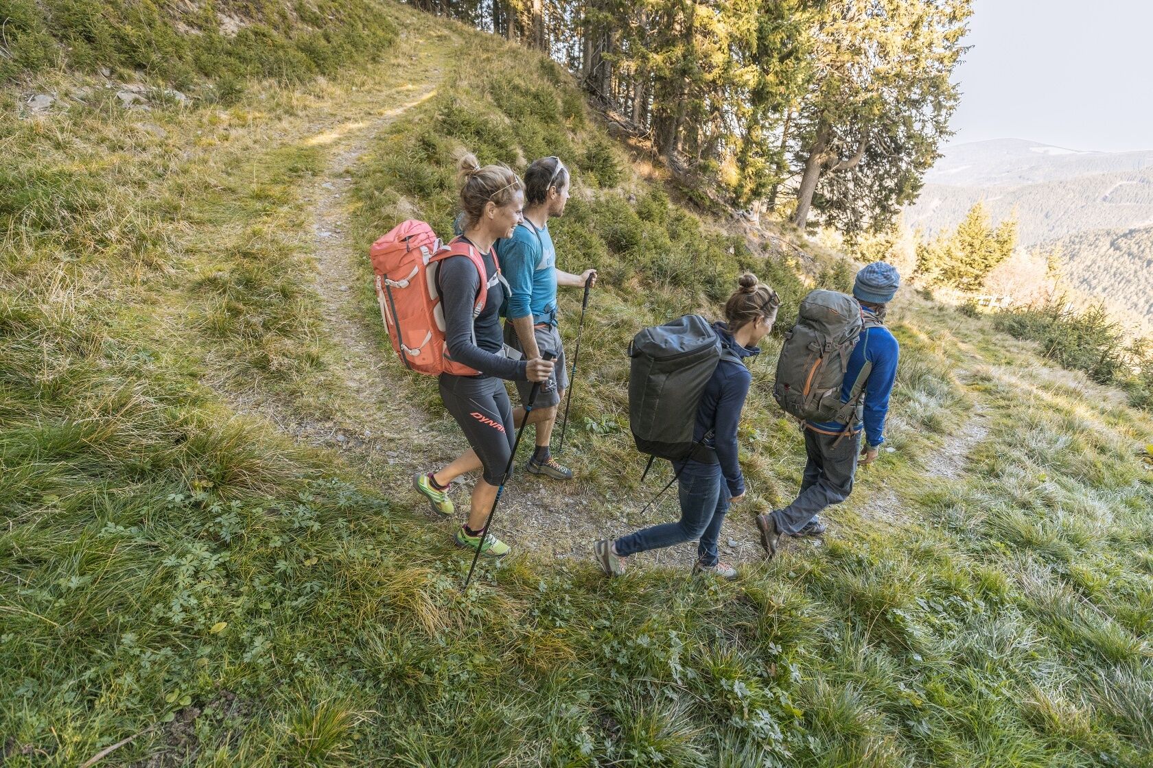

Always take appropriate maps with you. Wear sturdy shoes adapted to the route, take sun and rain protection as well as water and a small snack. Take your mobile phone with you and save the emergency mountain rescue number: 140
Proper behaviour when encountering grazing animals:
www.alpannonia.at/verhaltenstipps-fuer-wandergaeste-auf-beweideten-almen
Make sure when choosing the route that it matches your mountain experience and fitness. Inform yourself in advance about the weather forecast. Weather in the mountains can change surprisingly quickly. Therefore, always set off properly equipped (e.g. rain protection).
Check whether the huts and snack stations you want to visit on the way are open. Inform someone about the chosen route and your planned return before you set off.
Via the S6, exit Maria Schutz
By train to Semmering
More info here: fahrplan.oebb.at
Parking lot at the valley station Hirschenkogel
For your journey to Semmering, it is recommended to take the Semmering Railway in the UNESCO World Heritage site.
Webové kamery z prehliadky

Obľúbené výlety v okolí
-
3,8
Schwaigen Rundwanderung
svetloTuristika 8,24 km -
4,8
Cultural walk Payerbach-Reichenau
svetloTuristika 7,43 km -
4,6
Hochwechsel-Runde, Waldbach-Mönichwald
strednáTuristika 17,9 km -
3,8
St. Corona - Kampstein
strednáTuristika 10,7 km -
4,9
RAX Runde
svetloTuristika 19,6 km -
4,7
Hochwechsel - Tour
Turistika 18,5 km -
4,9
Rax
strednáTuristika 6,70 km -
4,8
Schneeberggebiet: Ein Stückchen am Wasserleitungsweg im Höllental
svetloTuristika 2,64 km -
4,8
"Krummbachstein 1602m" - Eng - Payerbach - Rundwanderweg
strednáTuristika 24,8 km -
4,8
Raxgebiet: Brandschneide
strednáTuristika 16,5 km
Turistika a stopovanie


Nenechajte si ujsť ponuky a inšpiráciu na ďalšiu dovolenku
Vaša e-mailová adresa bol pridaný do poštového zoznamu.





