






Kaisersteig in Reichenau
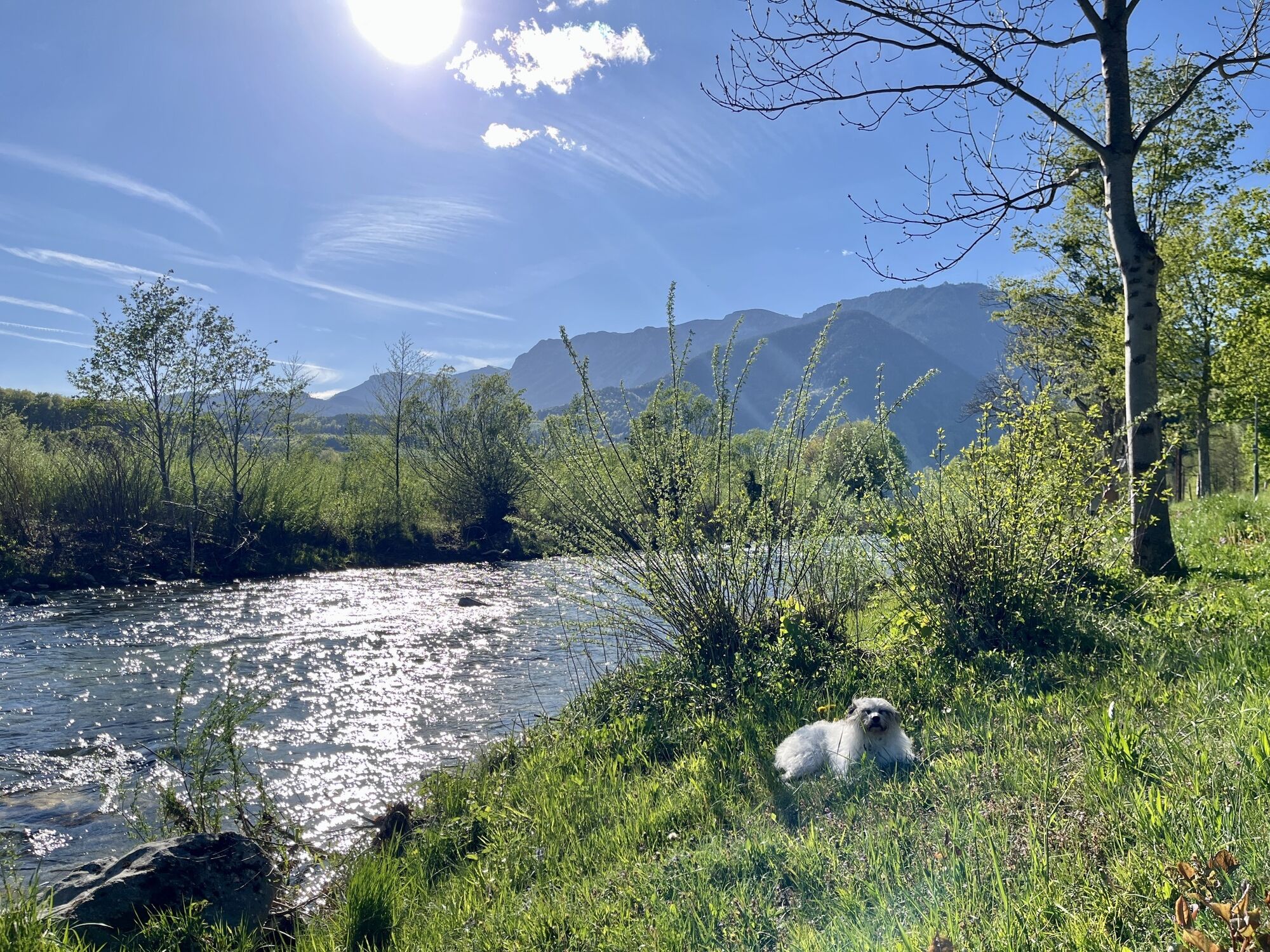
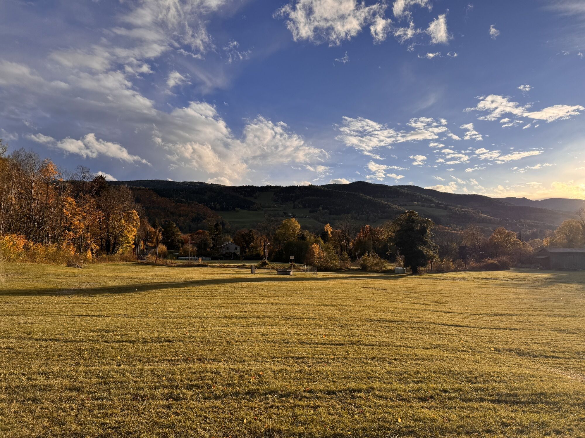
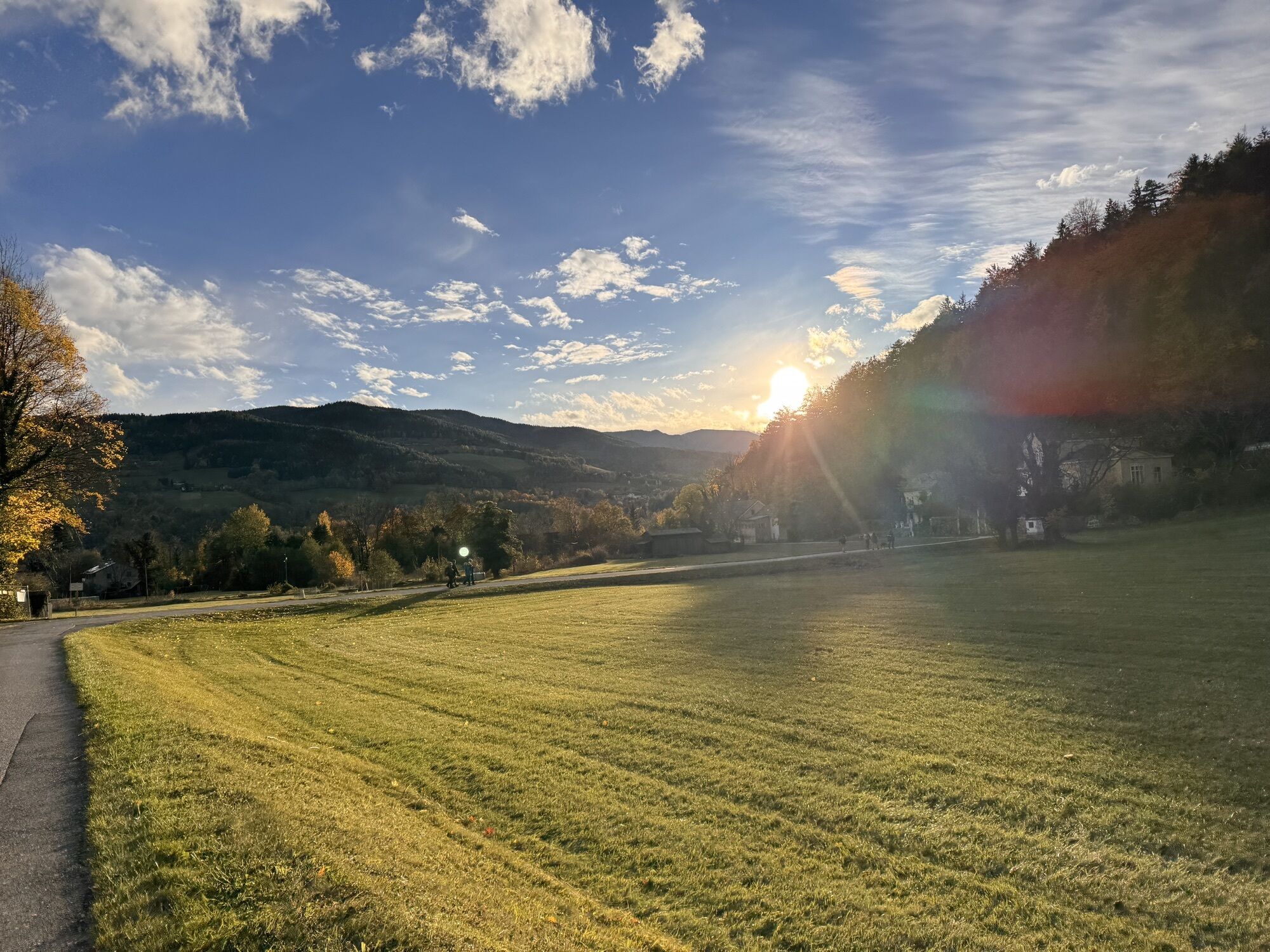
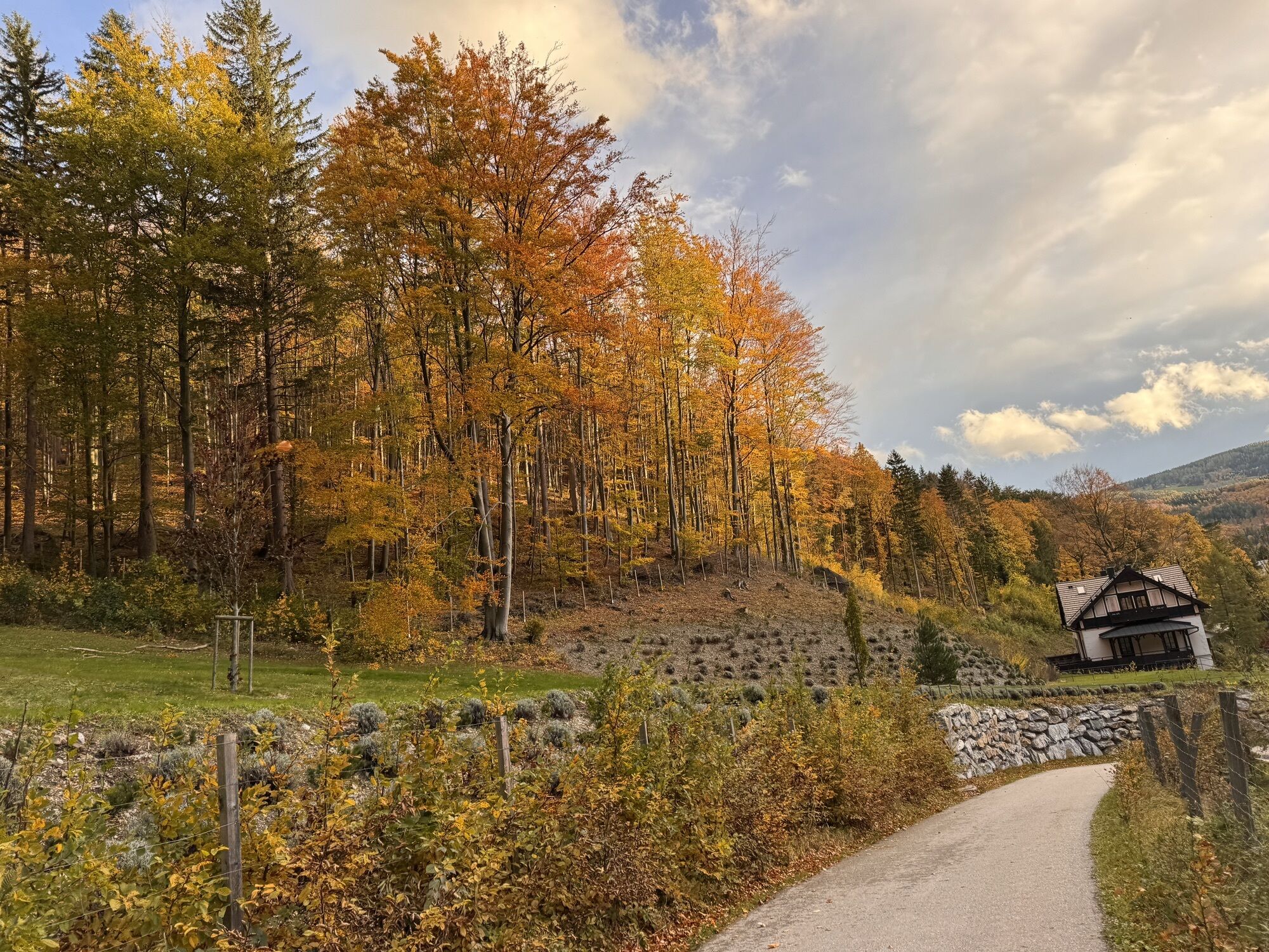
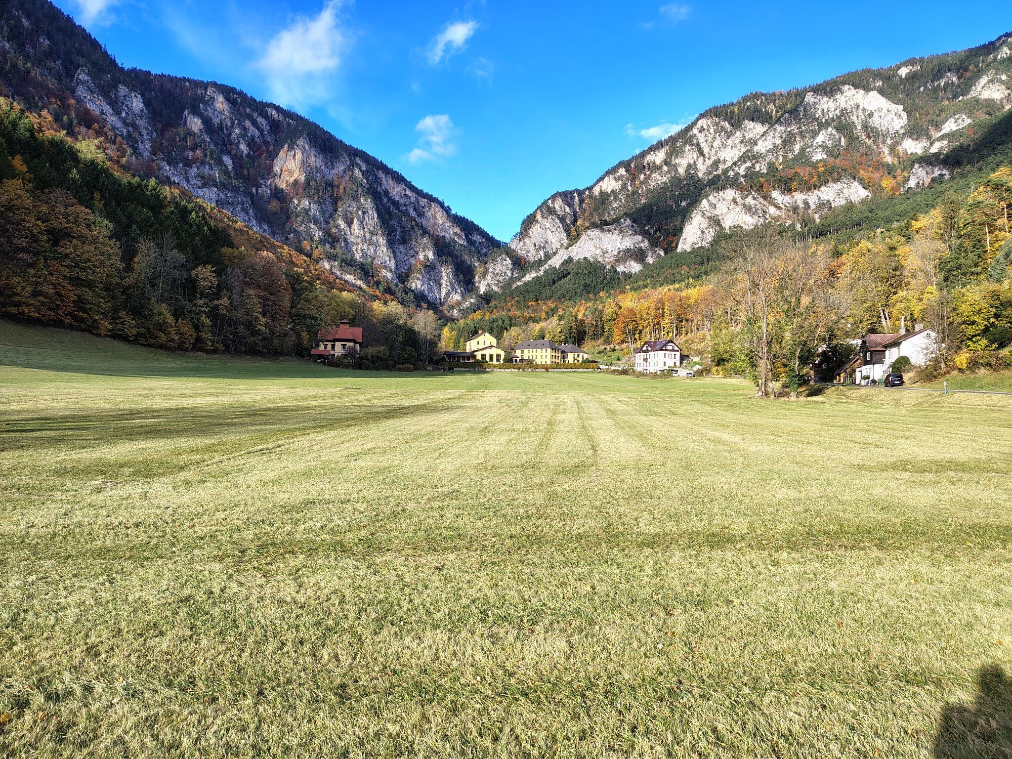
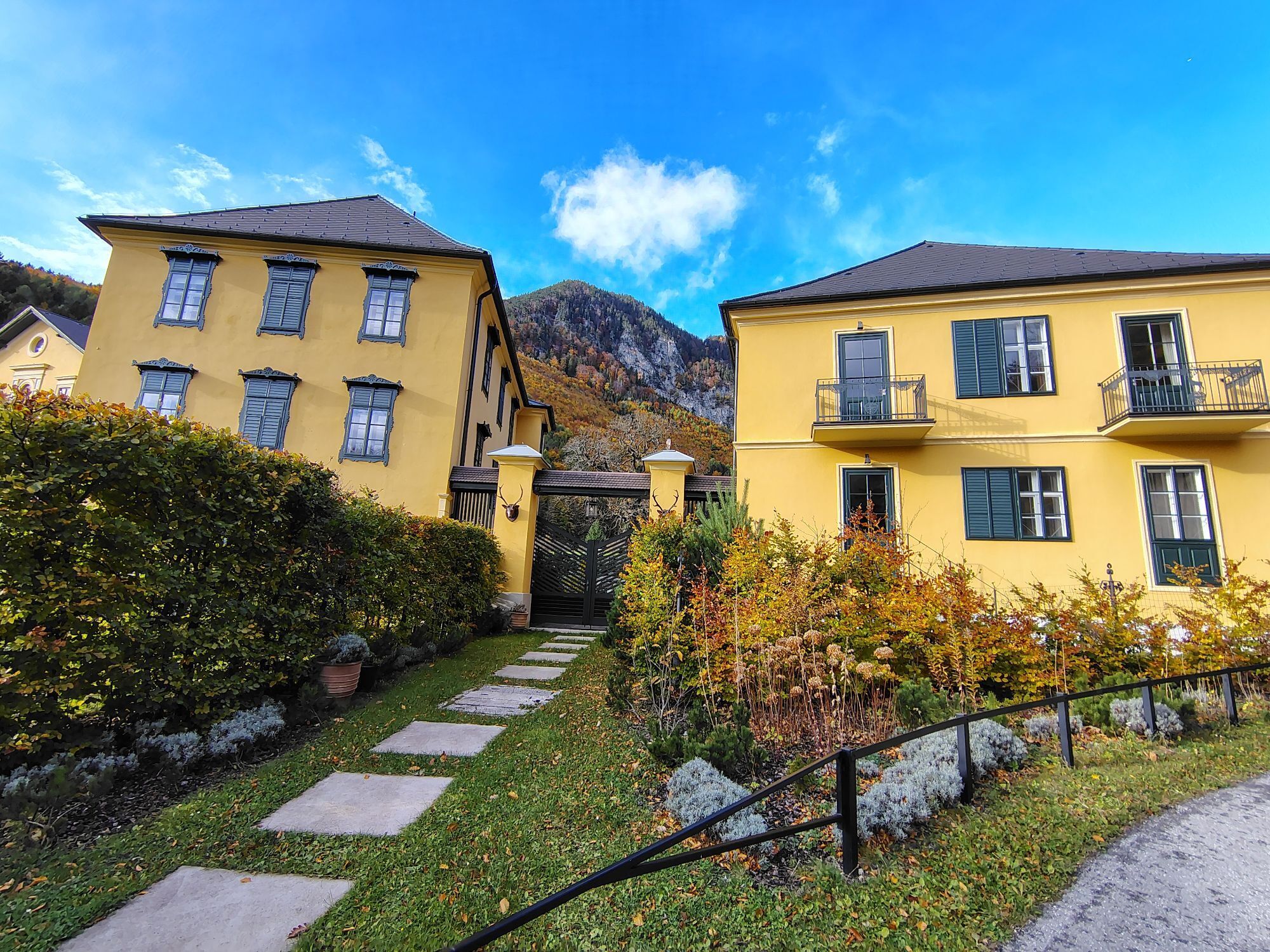
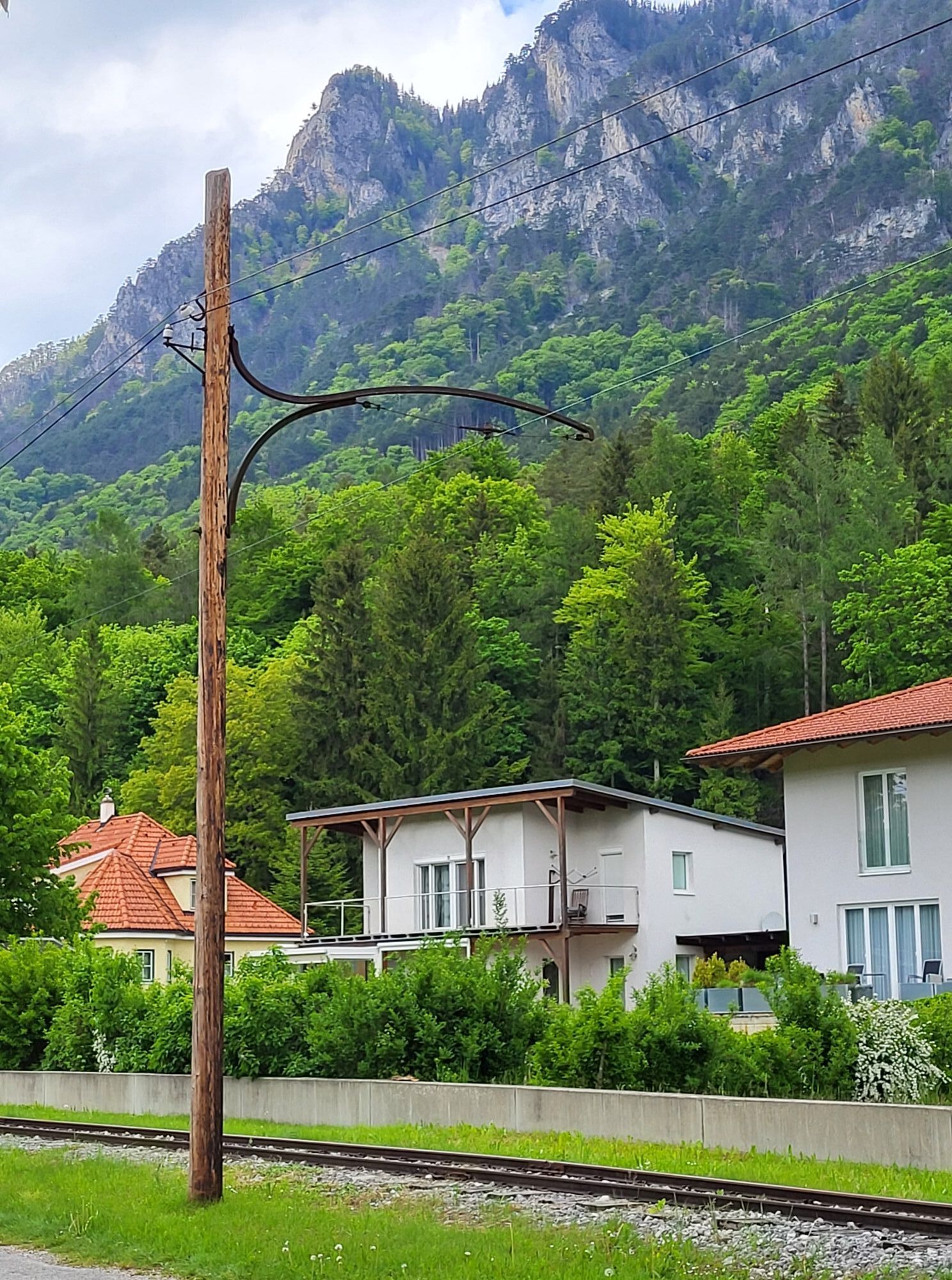
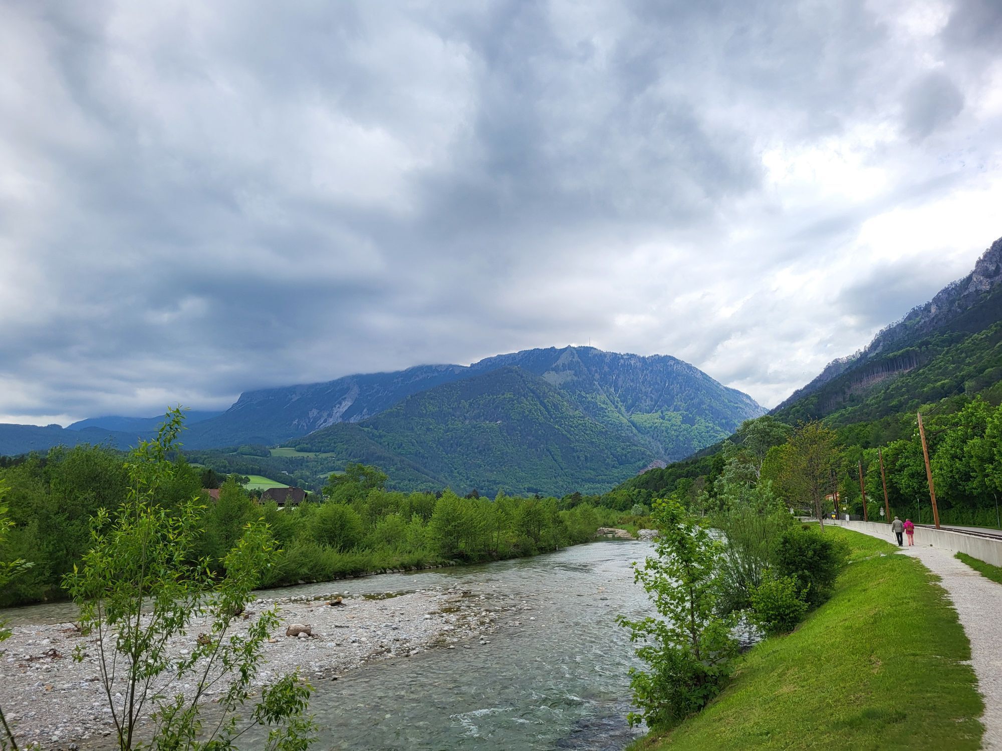
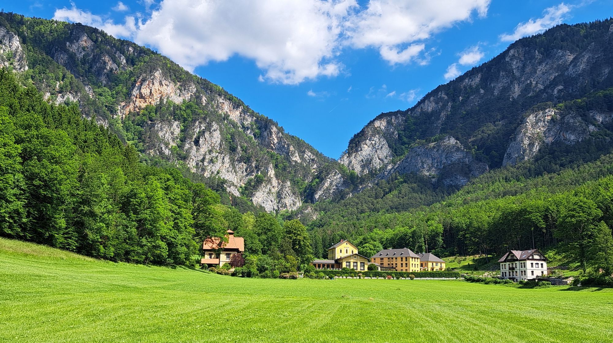
This path invites you to take a walk or a short hike.

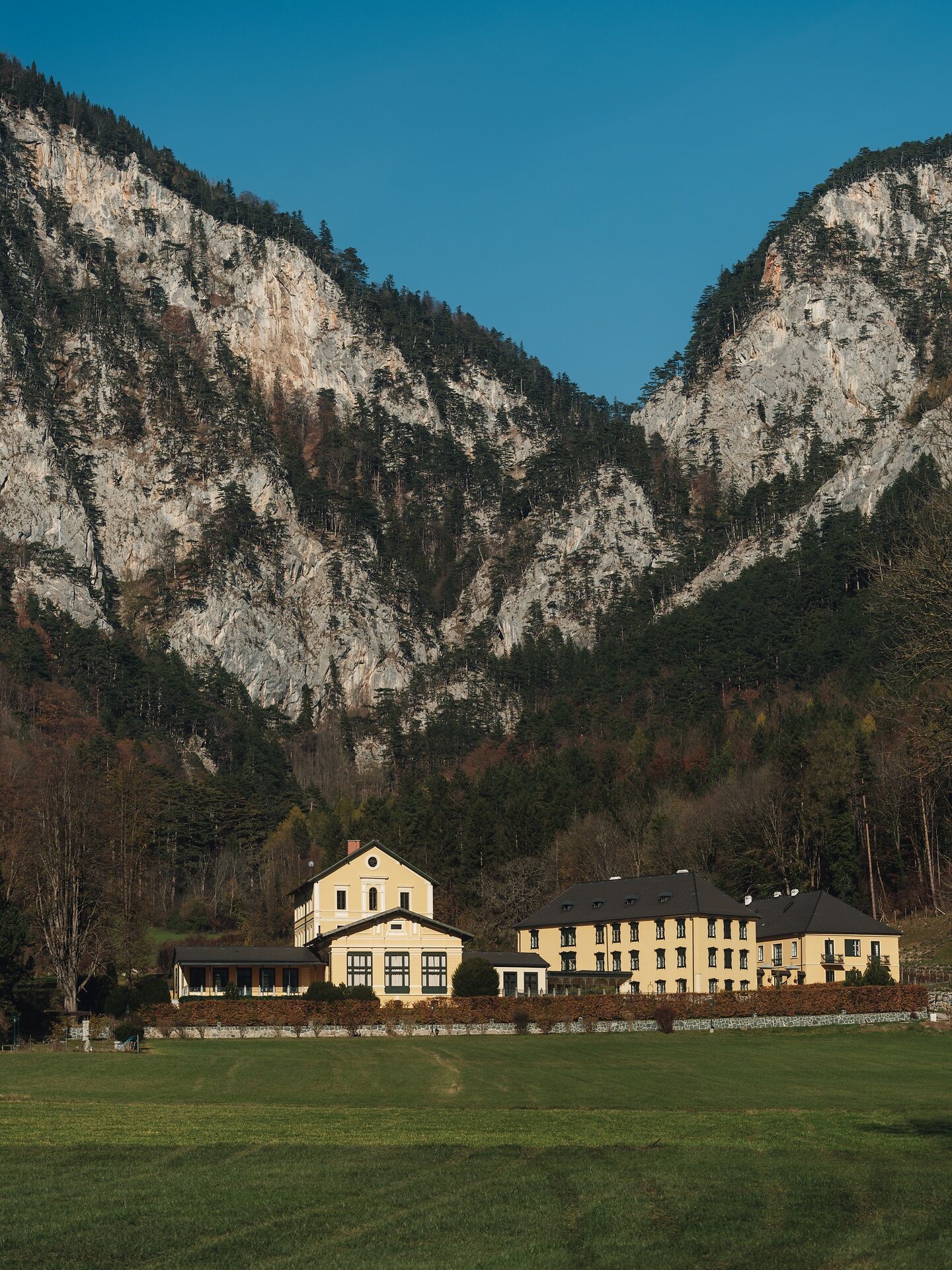

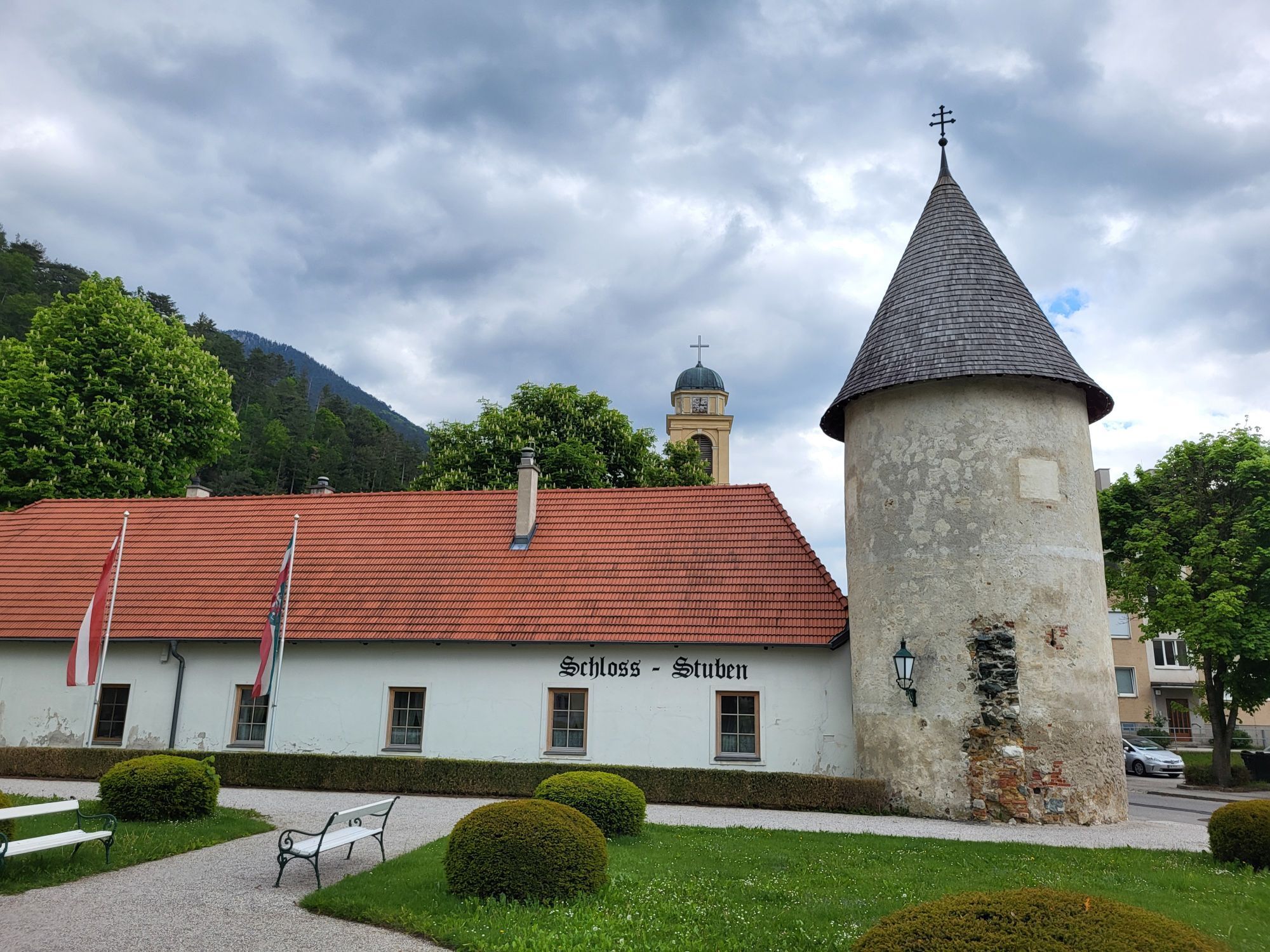
Starting board Schlossplatz, uphill to the left past the Rudolfvilla, straight ahead to Thalhof, past it, left along the fence, continue straight, steep uphill through the forest to a clearing, slight uphill on the forest road to the right – ATTENTION! Turn left downhill into the forest, follow the path to a junction. Keep right onto the narrow path, follow it to the forest road. Turn left downhill, after the “quarry” turn right, again on a narrow path through the forest past the transmission masts to the Haaberg cemetery. Cross the cemetery grounds, go downhill along the street to the riverside path, continue left to the crossing of the Höllentalbahn, then take Schützengasse back to the starting point.
Wear appropriate clothing and good running shoes. Remember rain and sun protection. Bring enough to drink.
Make sure the chosen route matches your experience and fitness. Check the weather forecast in advance.
Running tips:
Start slowly to gradually get your circulation going. After about 10 minutes, take a short break with stretching exercises. Vary the pace to improve performance. Avoid overexertion, especially on steep sections; better to walk if basic fitness is lacking. Include warm-up and cool-down phases. Let the run wind down and don’t stretch too intensely afterwards!
A2 to Seebenstein junction - S6 to Gloggnitz - B27 to Schlossplatz in Reichenau
Take the Südbahn to Payerbach-Reichenau. Buses run at regular intervals between the Payerbach-Reichenau station and the starting point.
Parking spaces are available in the area of the Schlossplatz.
Vienna Alps in Lower Austria, www.wieneralpen.at, +43 / 2622 / 78960
Tourism office Reichenau, Hauptstraße 63, 2651 Reichenau an der Rax, +43 / 2666 / 52865
Získajte prehľad
Vždy naživo na mieste s viac ako 9 500 webovými kamerami. bergfex Ako používateľ Pro si teraz môžete pozrieť príslušné webové kamery pre mnohé zájazdy v aplikácii zájazdy z. Môžete si tak priamo prezerať aktuálne podmienky.
Obľúbené výlety v okolí
-
4,6
Losenheim: Edelweißhütte - Fadensteig - Fischerhütte
strednáTuristika 11,5 km -
4,7
Zahnradbahn und Wandern am Schneeberg - Plateauwanderung
strednáTuristika 6,90 km -
4,8
Rax - Heukuppe
Turistika 15,6 km -
4,8
Cultural walk Payerbach-Reichenau
svetloTuristika 7,43 km -
5,0
"Weichtalklamm" über Stock und Stein durch das Höllental - Weichtalhaus - Kientallerhütte 1340m
strednáTuristika 14,0 km -
4,9
Insider tip: Schneeberg via the Novembergrat
ťažkéTuristika 13,5 km -
4,9
Reißtalersteig und Gretchensteig
ťažkéTuristika 8,10 km -
4,9
"Über den höchsten Nieder-Ösi" - Schneeberg - Weichtalklamm - Klosterwappen - Stadlwandleiten
strednáTuristika 17,7 km -
4,9
SCHNEEBERG Losenheim Nandlgrat Klosterwappen Fadenweg 28.09.2017
ťažkéTuristika 15 km -
4,9
RAX Preiner Gscheid Waxriegel Predigtstuhl Heukuppe Karl L.Haus ret. 20210908
strednáTuristika 12 km
Turistika a stopovanie


Nenechajte si ujsť ponuky a inšpiráciu na ďalšiu dovolenku
Vaša e-mailová adresa bol pridaný do poštového zoznamu.





