



Sambergrunde in Aspang

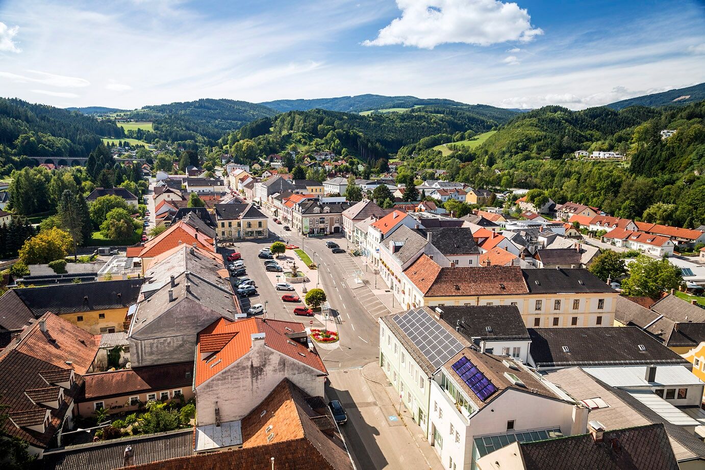

The starting point for all versions of this hike is the parking lot across from the Sparkassenteich pond in Aspang Markt. First, we cross Zöberner Straße and turn right after the bridge onto “Schwingerpromenade,” which we follow alongside the stream. After a few hundred meters, the trail branches off to the left and heads uphill, where it joins a forest road that we follow—with the Aspangbahn viaducts and tunnel in view.
Short paved section
Finally, we reach a junction. Here, next to Route IX, the Sambergrunde mountain bike trail is already signposted; we’ll encounter it later on in the tour. Before that, we reach a narrow paved road where we cross the highway and end up in Mayerhöfen, where two benches invite us to take a break. We then continue along the road to the Park & Ride at the Zöbern highway on-ramp. There, we pass under the highway bridge and turn right onto the paved road toward Guggendorf; a signpost is present. After that, we cross the highway again before turning right at a bus stop toward a farmhouse. We pass the farmhouse on our left and come to a tractor path, which we follow. On the right, there’s now a sign on the ground for the “Samberg Loop” mountain bike trail, which we use for guidance. The trail runs along the edge of the forest until we enter the sparse woodland. Here, signage is sparse, but you’ll always be hiking along the forested ridge of the Samberg. Eventually, blue markings reappear, and signs for the “Samberg Mountain Bike Trail” accompany us. At the highest point, the trail veers slightly to the left; here you’ll find a bench and a cairn. After that, the idyllic forest path leads us steadily downhill until we can see the first houses of Aspang and the viaduct. We reach a wider forest road, which we follow until a white arrow points us left down a trail. Then comes another pleasant rest area with a bench and a view of Aspang. After that, we reach the Bienenweg and arrive at the starting point shortly thereafter. For this route, you should allow three and a half hours of pure walking time.
Tip: A relaxing hike, mostly on easy forest trails and paths, where you’ll hardly encounter anyone. Stunning views of the Bucklige Welt and the Wechselland are guaranteed. There are no places to stop for refreshments along the way. Unless you make a detour to the Oldtimer highway rest stop; this is well-signposted in the forest, but you’ll need to allow an extra hour and retrace your steps to get back to the Sambergrunde.
Shorter Routes
If you’re hiking with older children (ages six and up), you can choose the equally attractive shorter route. Here, you also start by following the Schwingerpromenade, but at the first bridge, you cross Zöbernstraße toward the chapel. Then you walk through an underpass beneath the Aspangbahn railway line and into the forest. The narrow path leads to a forest road, which you follow to the right. Eventually, you’ll reach the Bienenweg. Here, you can either head back or continue along the forest road. We hike high above Aspang to the end of the houses; here the trail splits, we turn right and end up in the “Badeau.” Here you’ll find a playground with benches before we head back to the Bienenweg via the Sterzlweg (sign posted; turn right shortly after the viaduct). Allow about an hour for these routes.
Take the A2 to the Edlitz exit, then the B54 to Aspang Markt.
Take the Südbahn to Aspang Markt Station, then take Regional Bus 369 to Aspang's main square
Timetable available under the route planner VOR AnachB
Zöbernstraße parking lot (Geopark) or at Aspang's main square
Places to Stop for a Refreshment: Cafe Fenz on the main square, or Gasthof Baumgartner (near the train station), the mountain cheese dairy in Außeraigen, and the department store in Aspang
Sights in Aspang Markt:
Romanesque parish church in Unter-Aspang
Late Gothic parish church in Ober-Aspang
Geopark
Automobile Museum


Obľúbené výlety v okolí
-
3,9
Schwaigen Rundwanderung
svetloTuristika 8,24 km -
3,7
St. Corona - Kampstein
strednáTuristika 10,7 km -
4,7
Hochwechsel - Tour
Turistika 18,5 km -
4,6
Hochwechsel-Runde, Waldbach-Mönichwald
strednáTuristika 17,9 km -
4,3
"Weg der Blicke"
svetloTuristika 5,86 km -
4,6
Mariensee - Wildwasserweg - Marienseer Schwaig
svetloTuristika 8 km -
4,6
Hochwechsel
strednáTuristika 14,3 km -
4,5
Bad Schönau - Hutwisch
svetloTuristika 9,99 km -
4,5
Rabl-Kreuz-Hütte auf den Hochwechsel
svetloSnežnice 9,87 km -
4,7
Hochwechsel und Arabichl ab/bis Mariensee
strednáTuristika 17,5 km
Turistika a stopovanie


Nenechajte si ujsť ponuky a inšpiráciu na ďalšiu dovolenku
Vaša e-mailová adresa bol pridaný do poštového zoznamu.


