


WAB - Regional Route S: Grünbacher Sattel - Gutenmann - Würflach

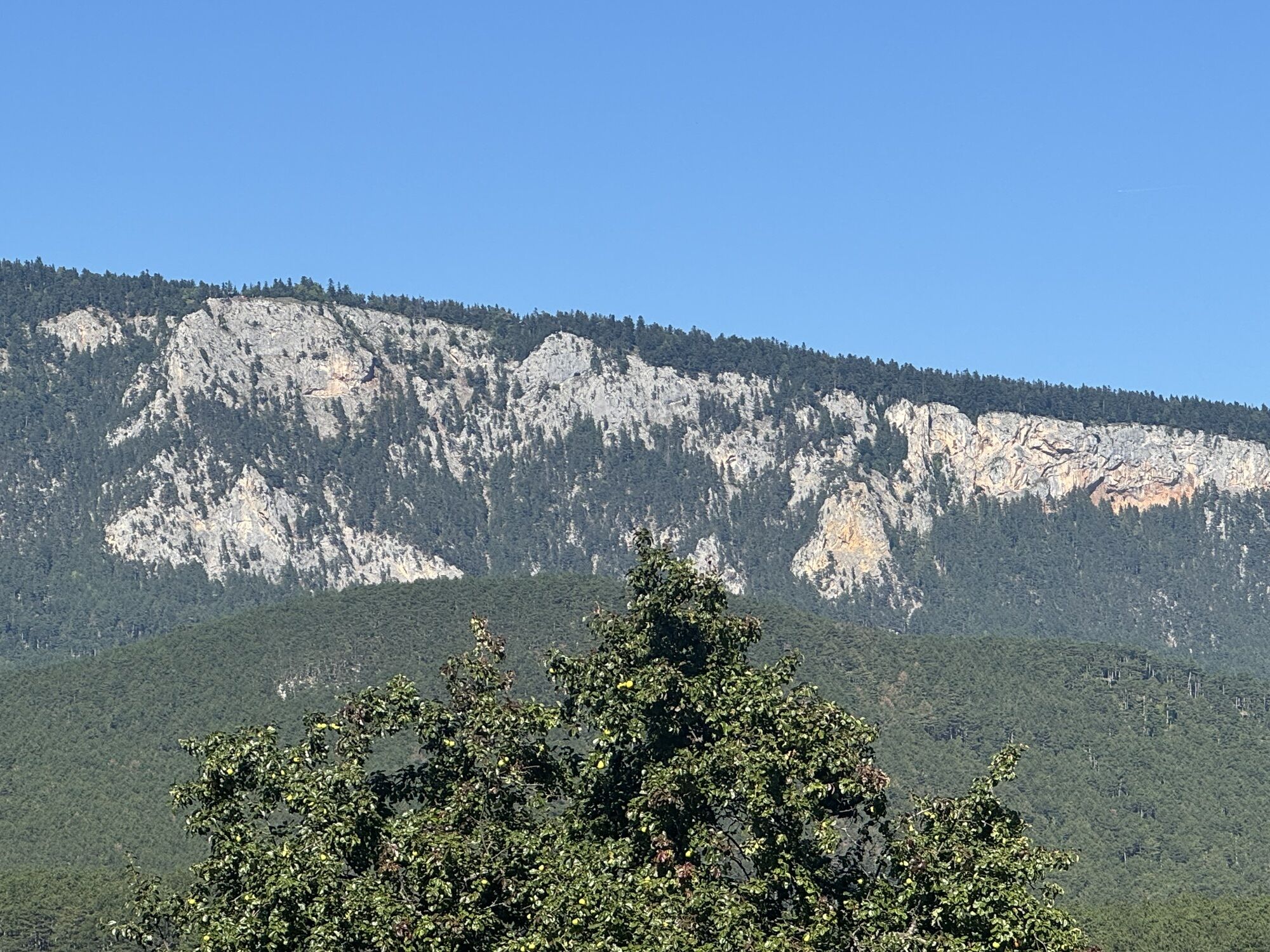


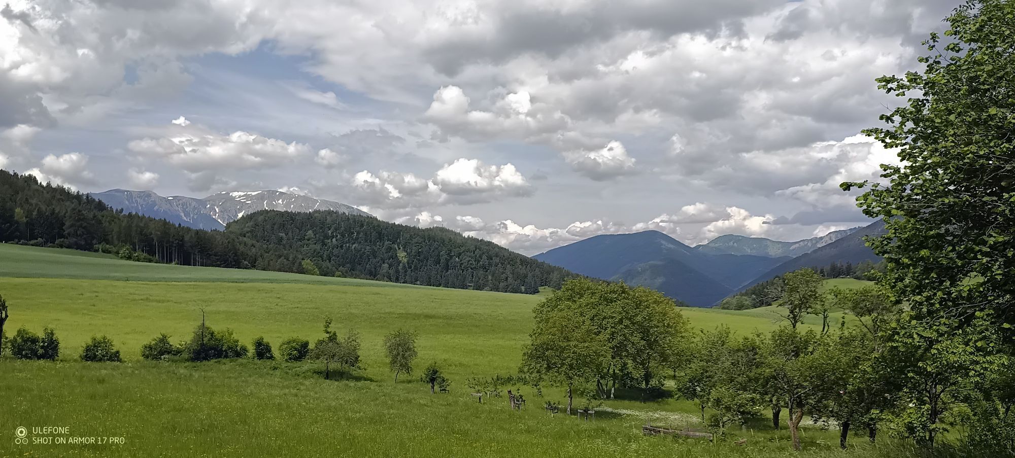
This leisurely hike leads over fields and forest paths from Grünbacher Sattel via the district of Gutenmann. The hilly forest landscape repeatedly offers fantastic views of the Hohe Wand and side valleys....
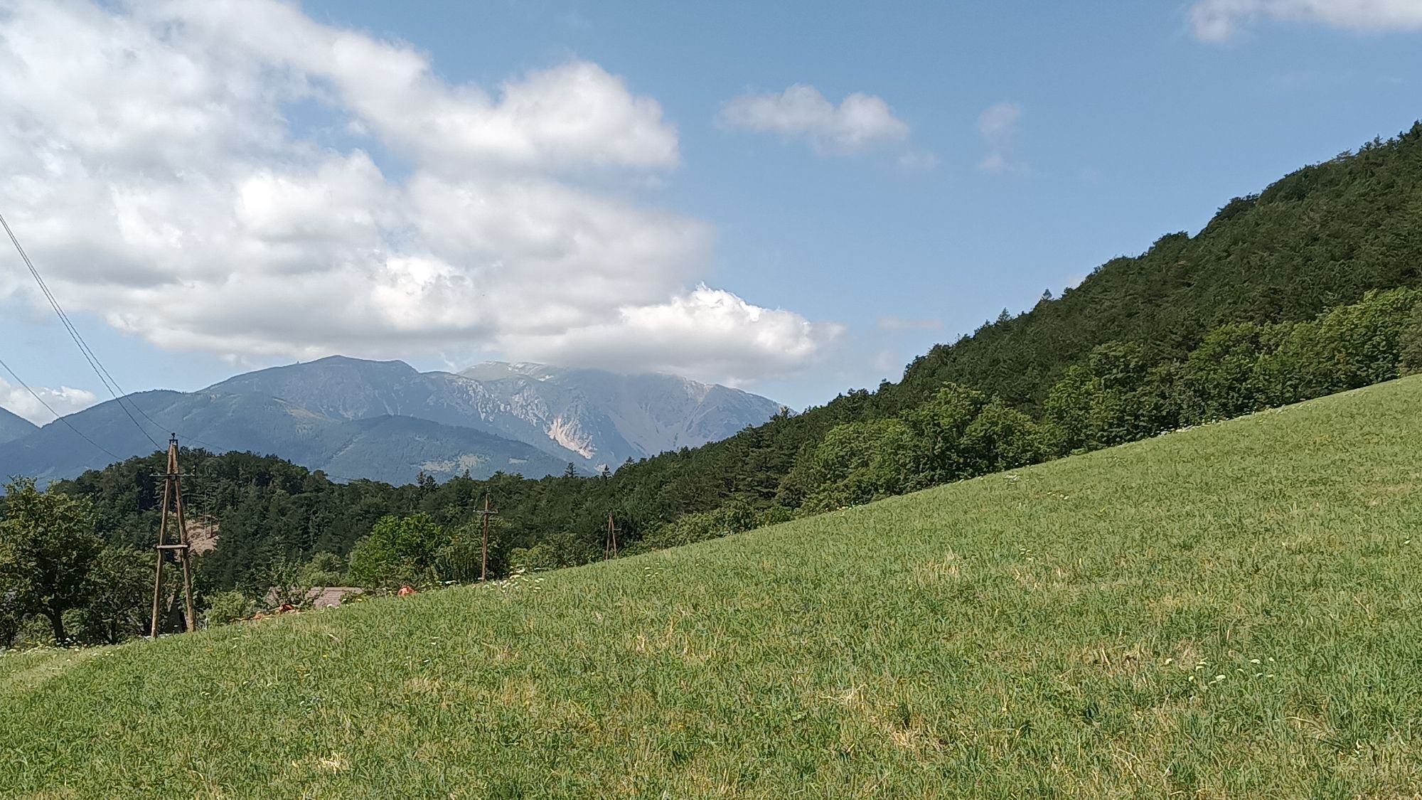
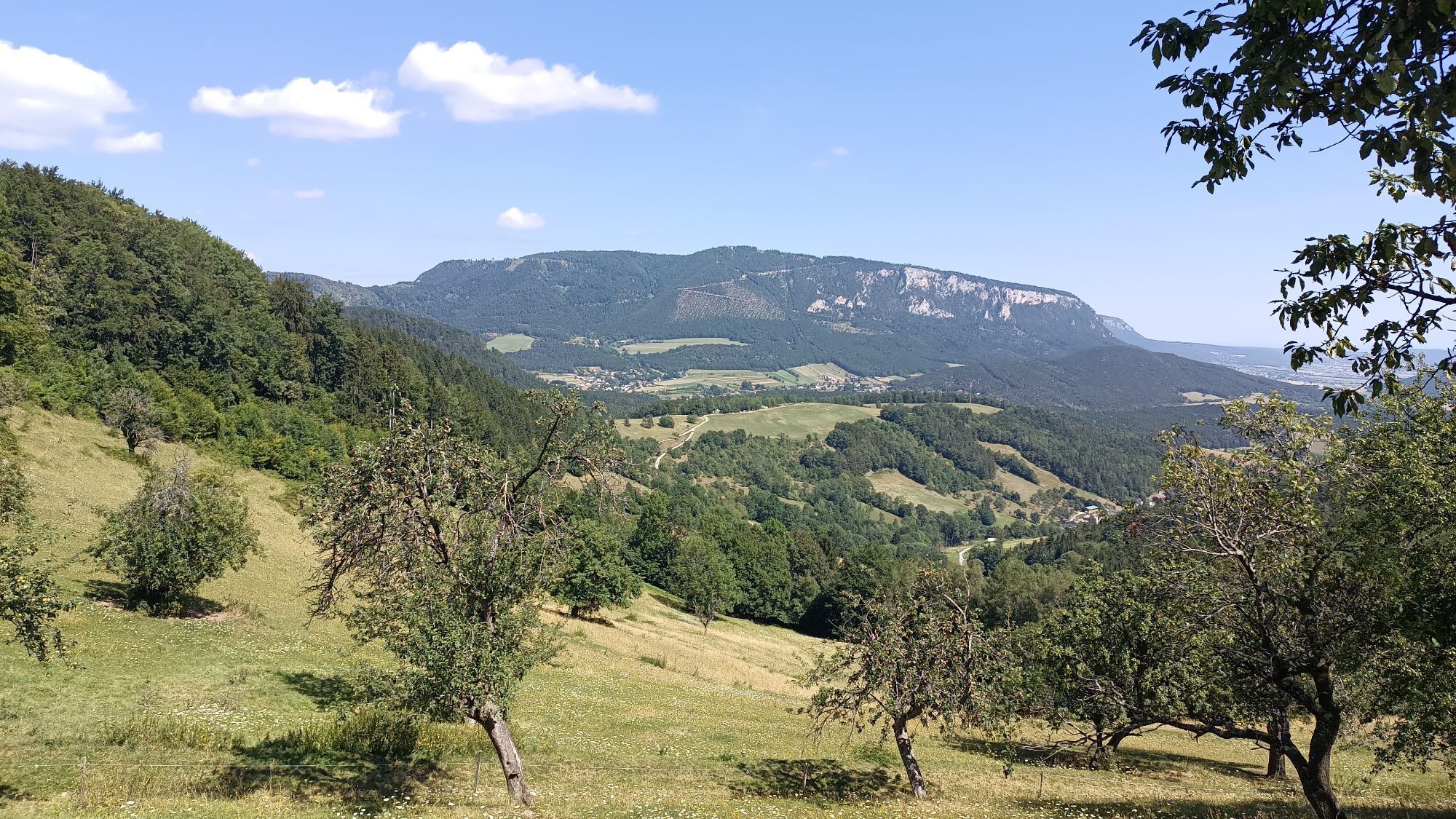
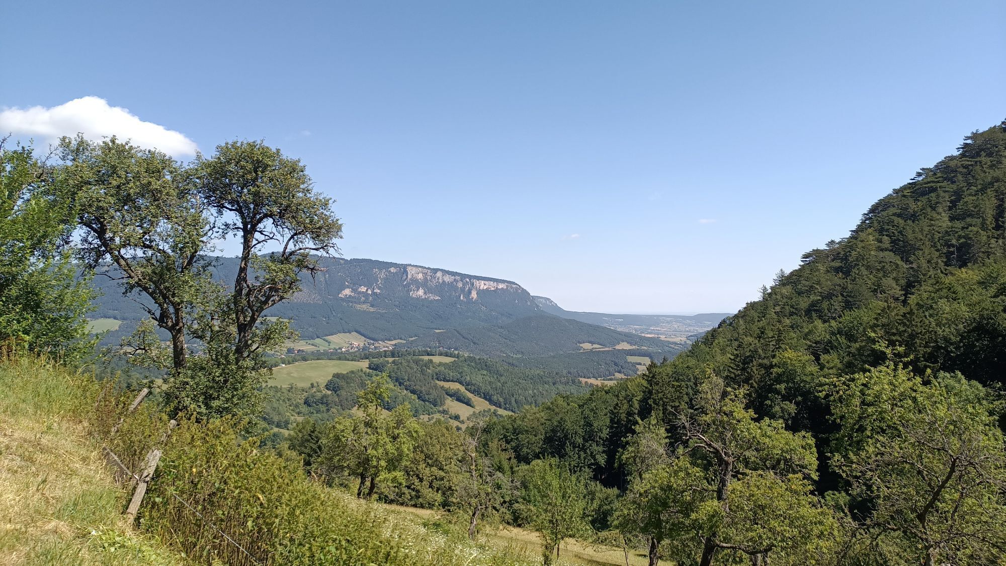
This leisurely hike leads over fields and forest paths from Grünbacher Sattel via the district of Gutenmann. The hilly forest landscape repeatedly offers fantastic views of the Hohe Wand and side valleys. Passing the Schrattenstein ruin and over the wooden walkways of the natural jewel Johannesbach Gorge, you reach Würflach, where you can reward yourself with a visit to the Würflach Wellness World. There is the option to combine the route with the second part of the Regional Route S and thus hike back over the Hohe Wand to the Grünbacher Sattel.
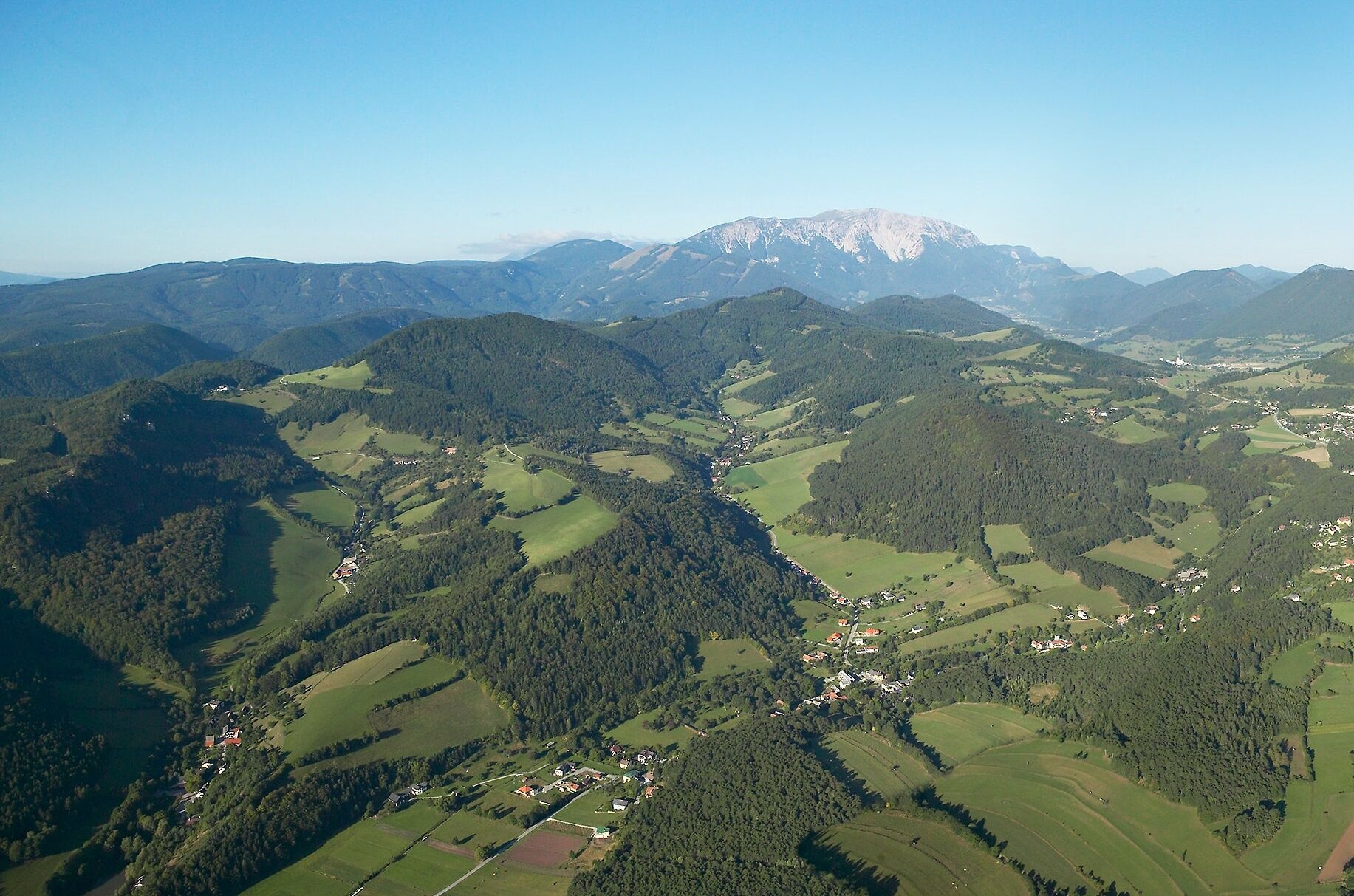
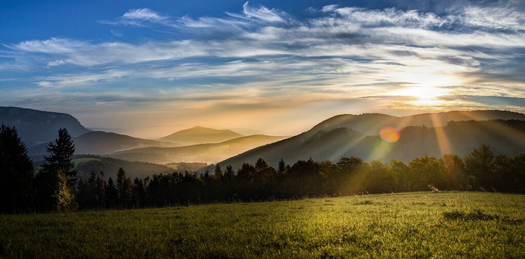
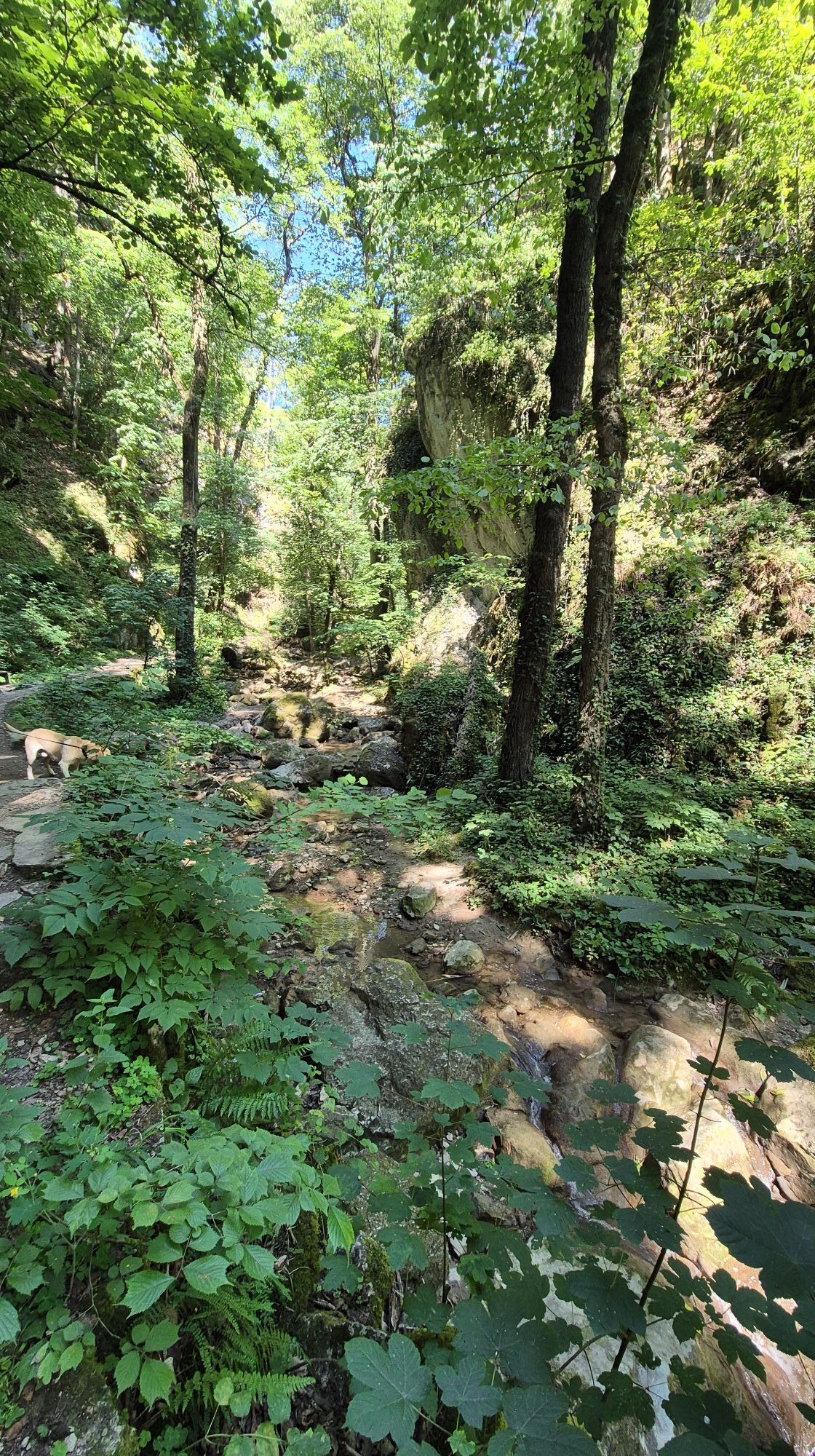
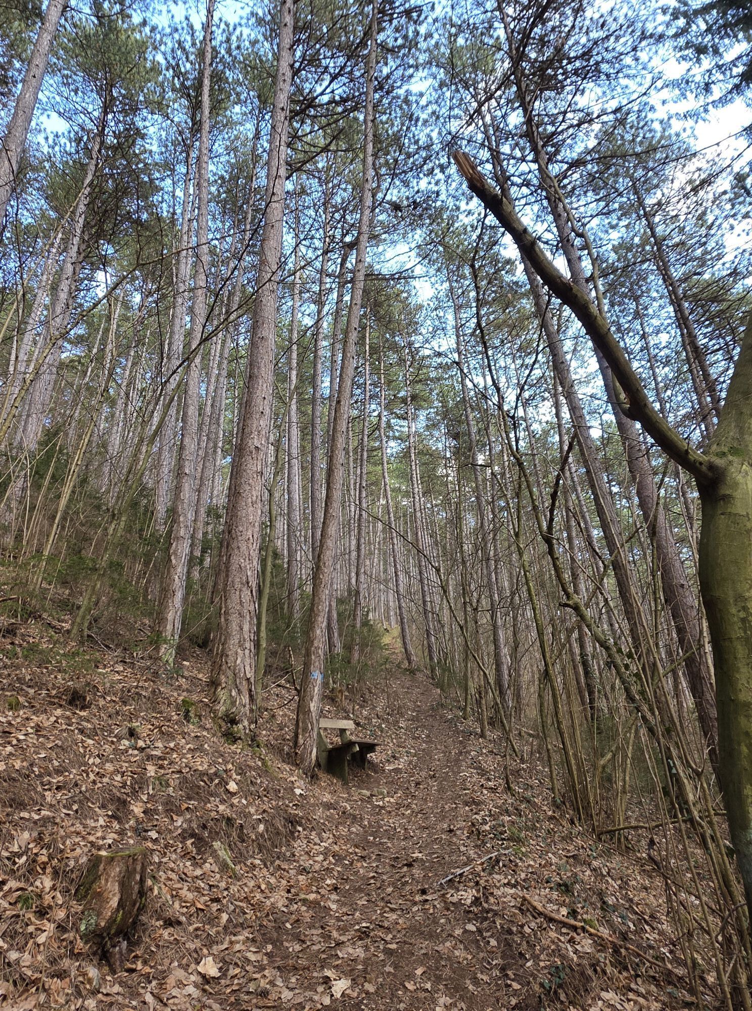
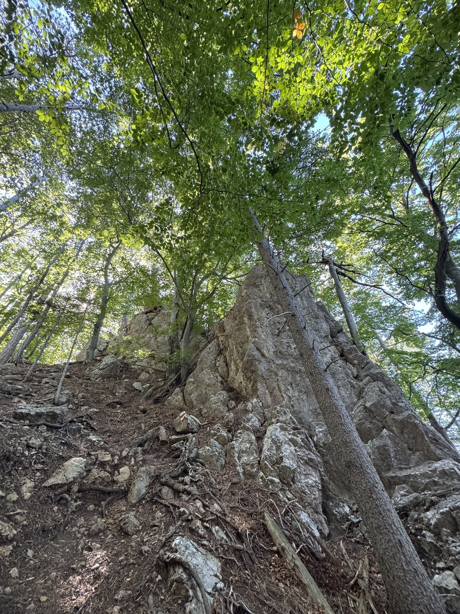
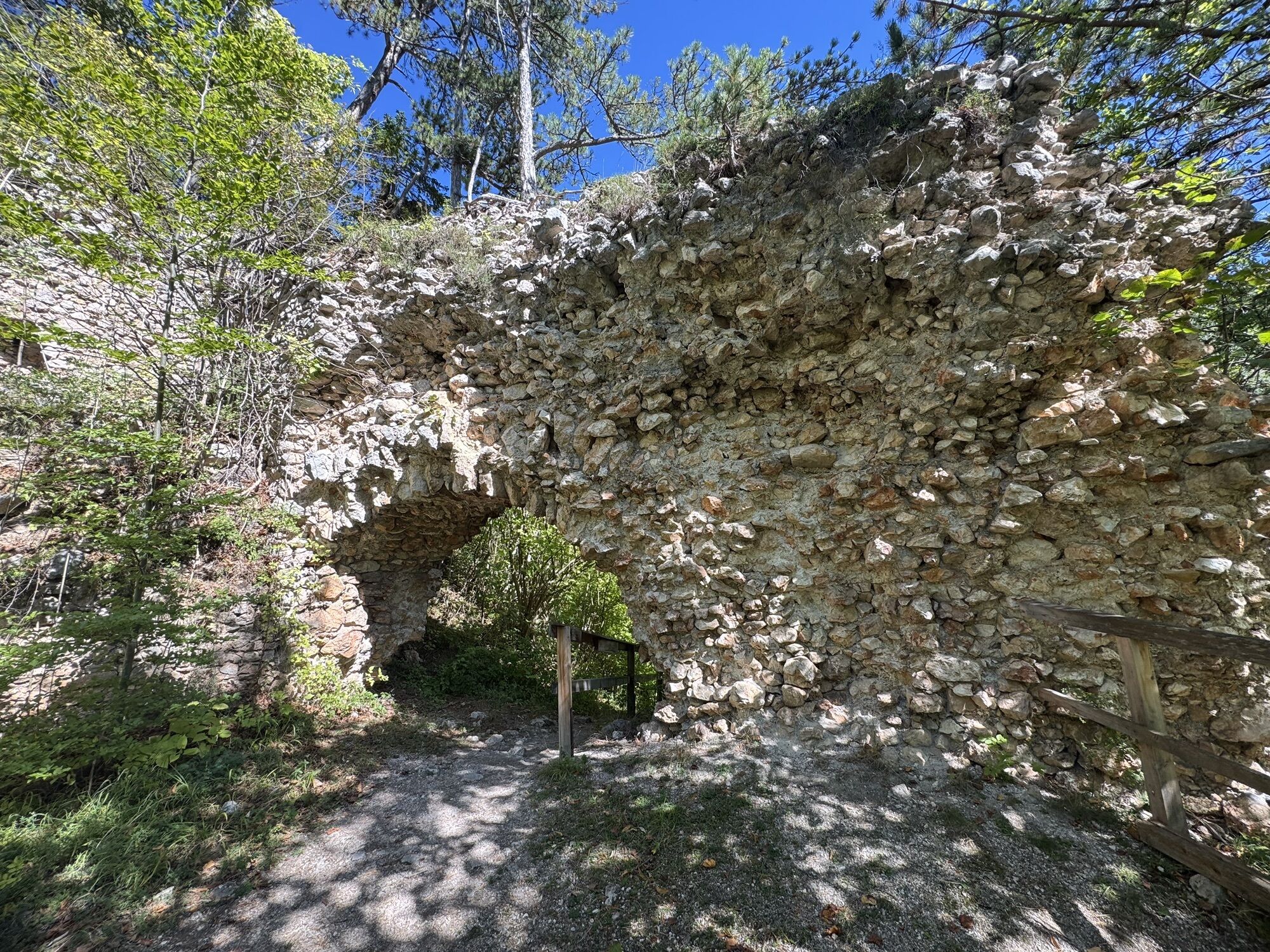
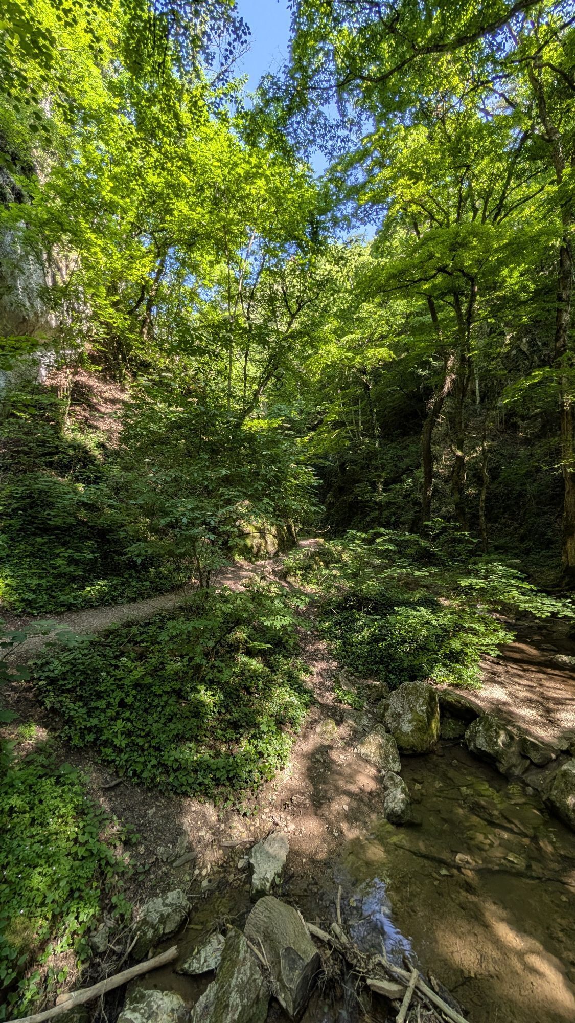
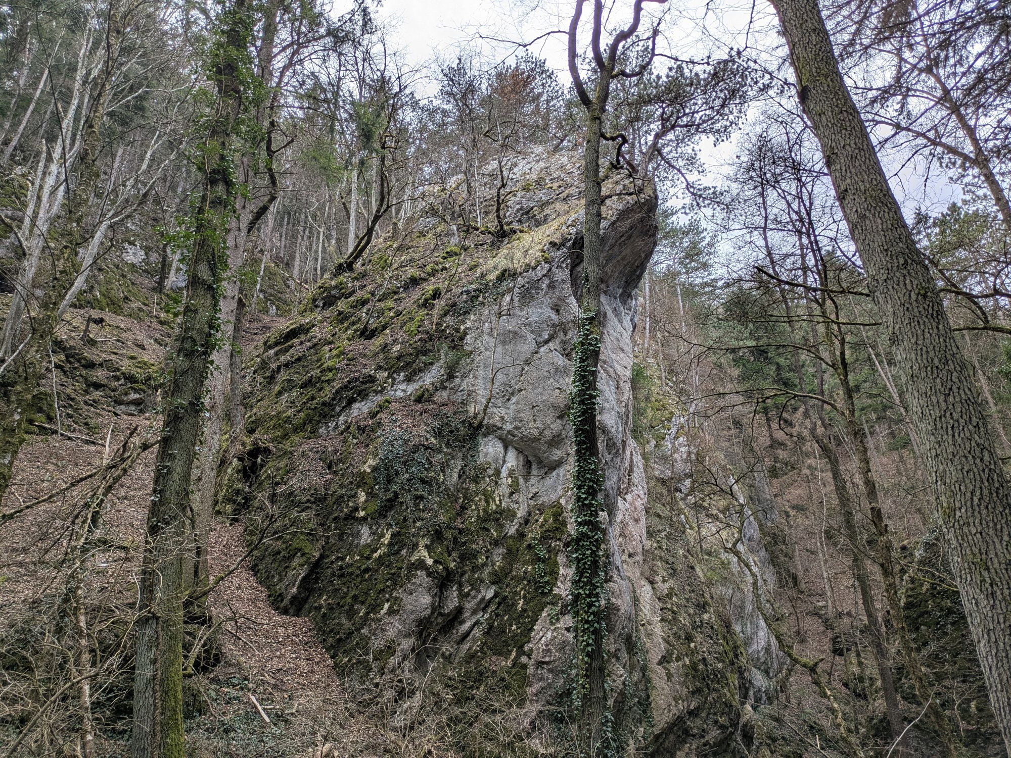
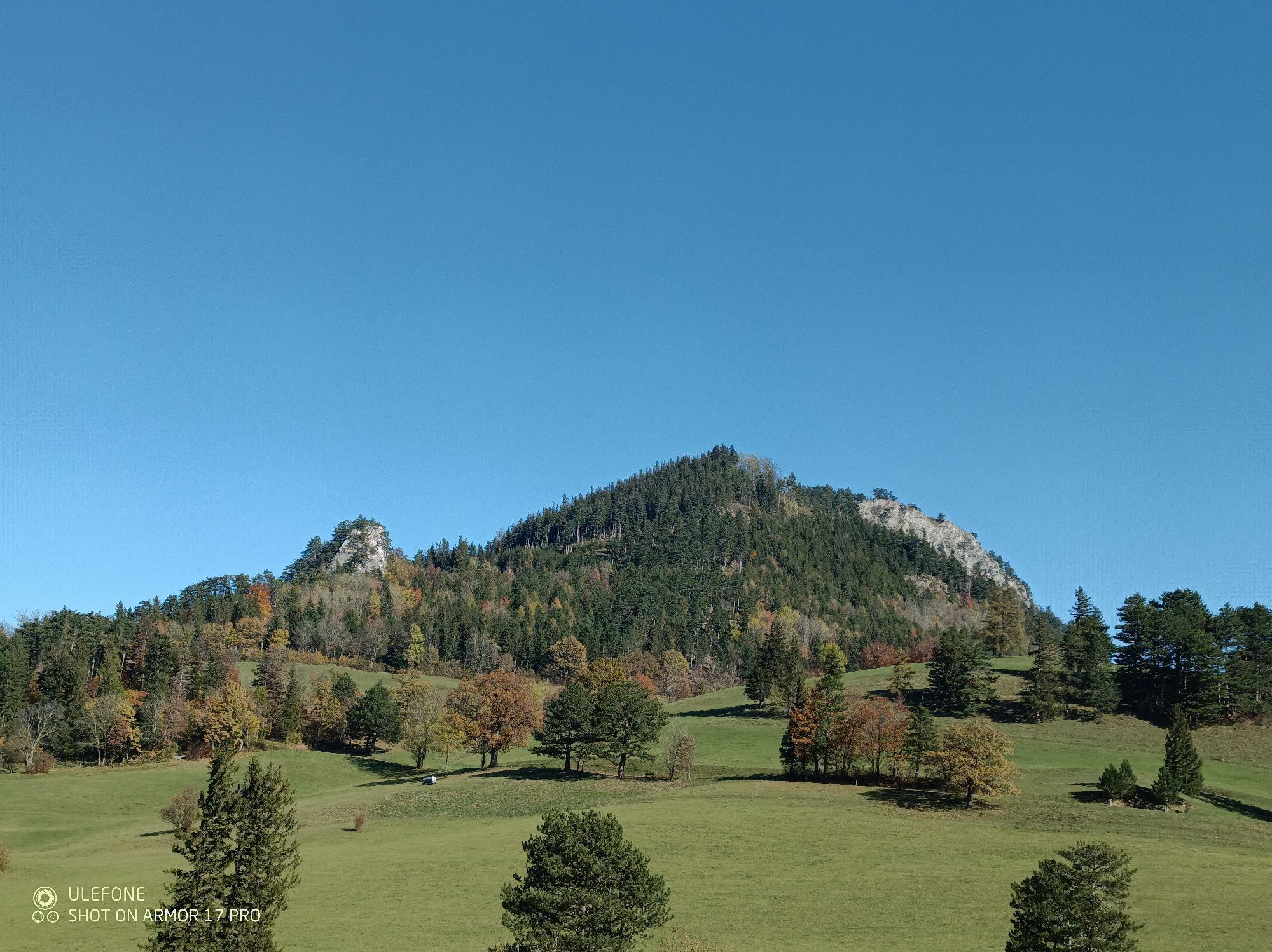
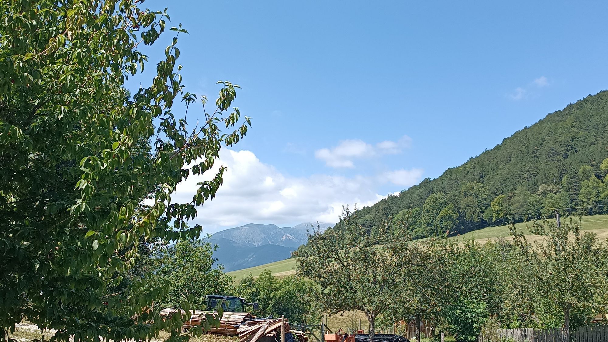
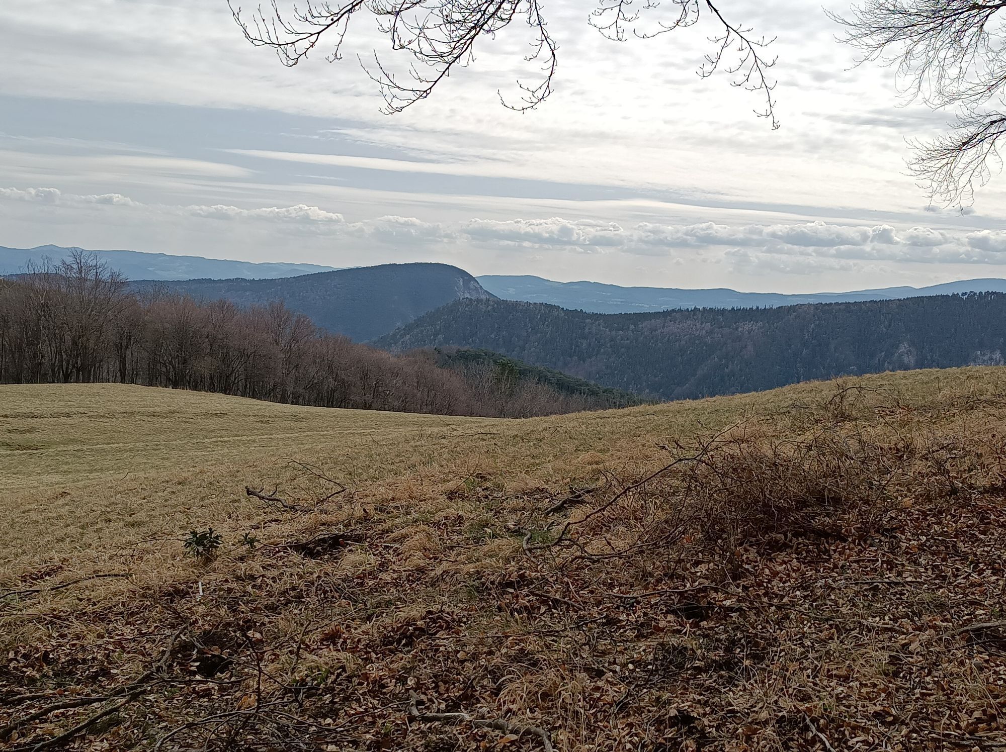
The Regional Route S starts at the Grünbacher Sattel. We follow the forest road south towards Reitzenberg and cover the first altitude meters. Passing the farms in Reitzenberg, we follow the slightly uphill cart track heading south towards Gutenmann. After a few minutes in the forest, we reach an intersection and now also hike with red markings to the Mühlriesenanger hut. In constant ups and downs, we follow the forest path towards Gutenmann and after about half an hour reach an asphalt road. We turn left and follow the scenic forest road to the Gutenmann-Steurer intersection and turn right to the cider tavern towards the Schrattenstein ruin. Passing the tavern and various resin harvesting cut patterns, we follow the forest roads and paths (marked in red, also running route) to the Lärbaumkreuz. At this intersection, not only is a rest taken, but we also take the path to the Schrattenstein ruin. The ruin can be explored; especially impressive are the views and the absolute silence, while unfortunately waiting in vain for knights and castle maidens.
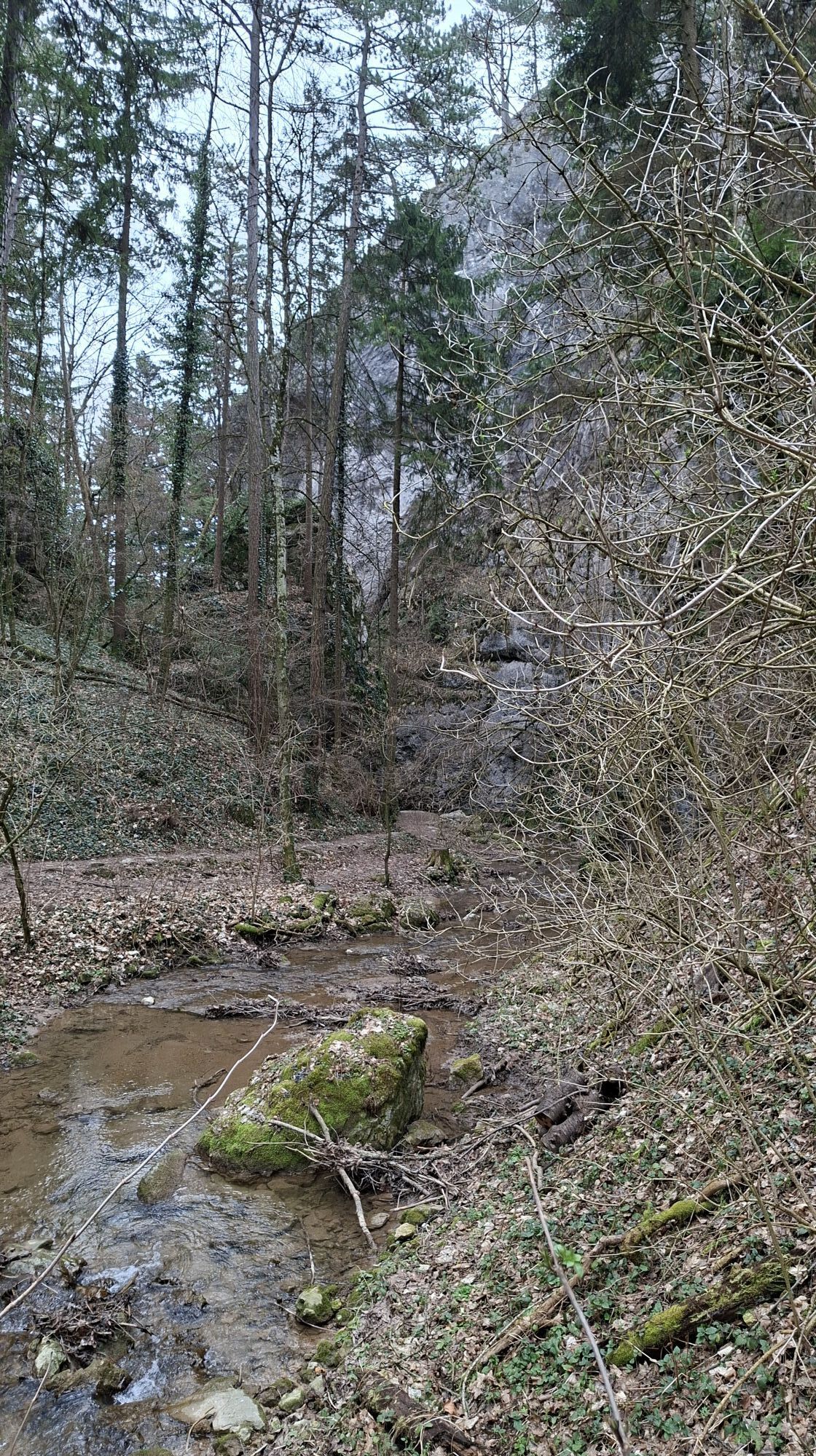
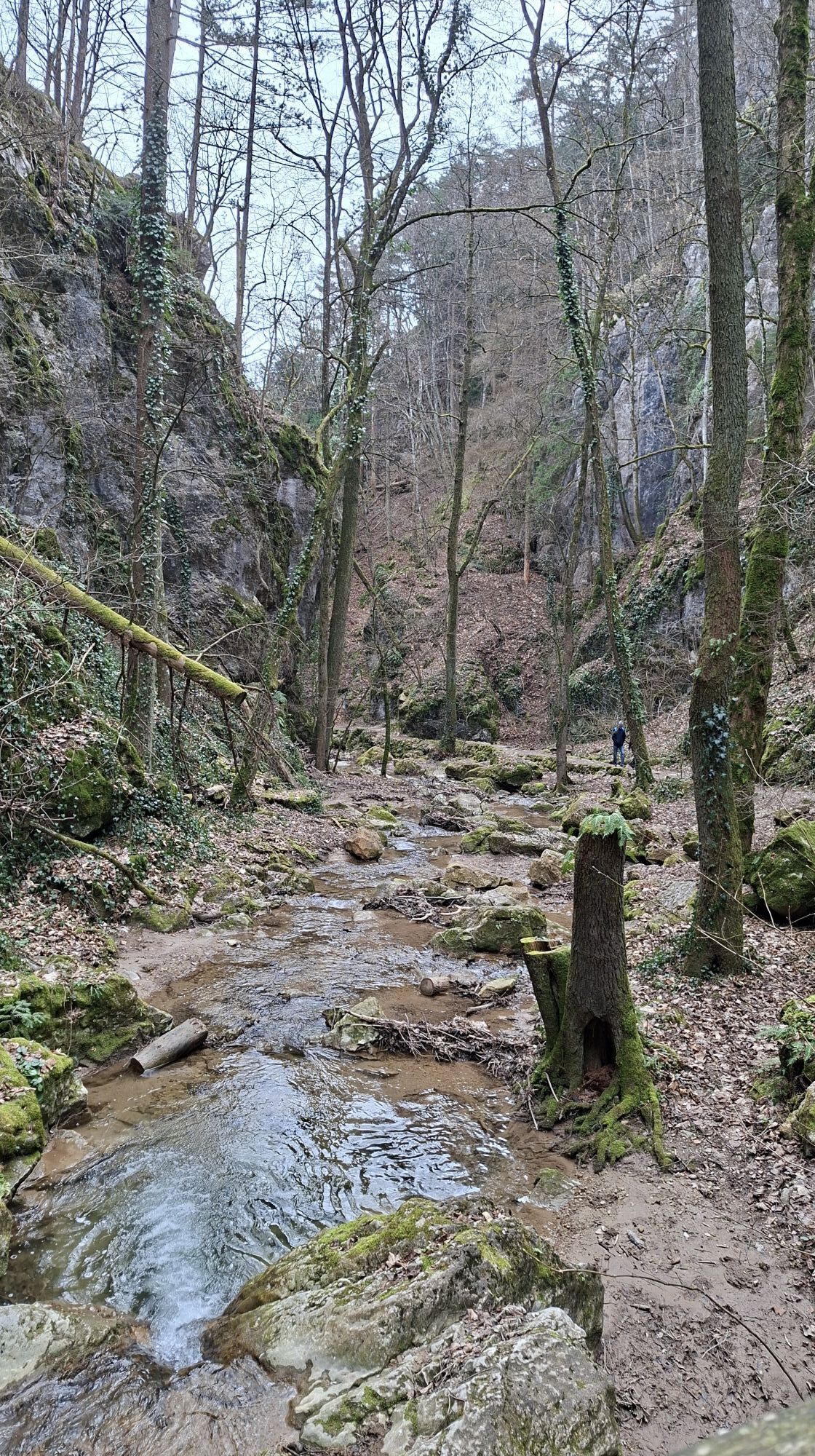
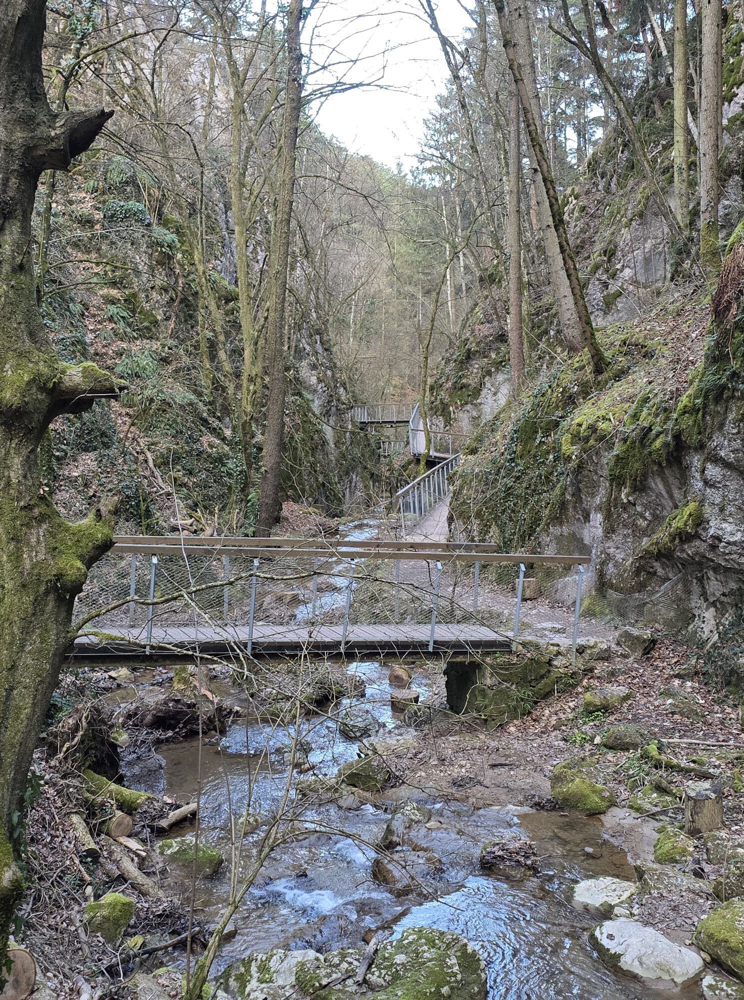
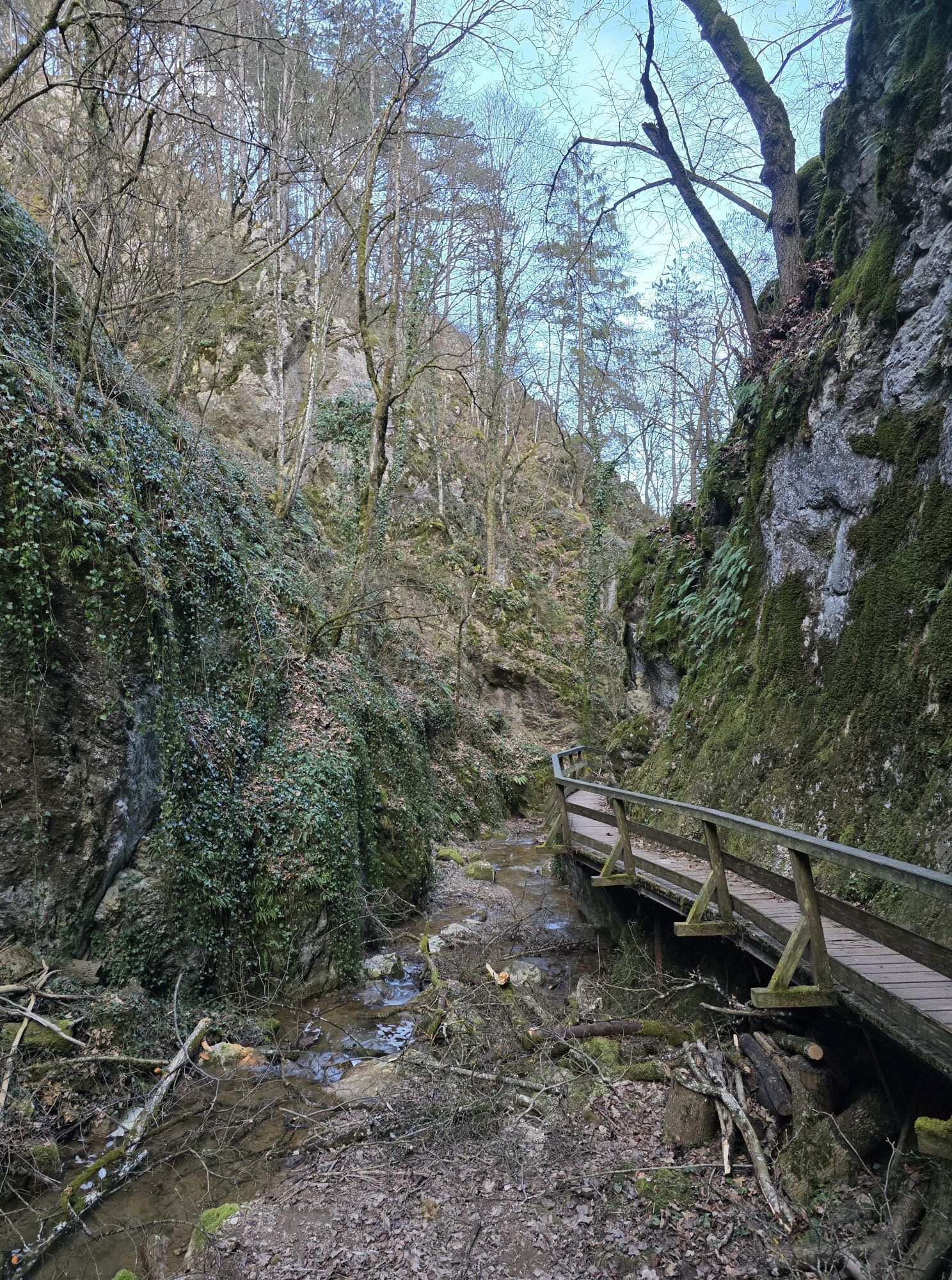
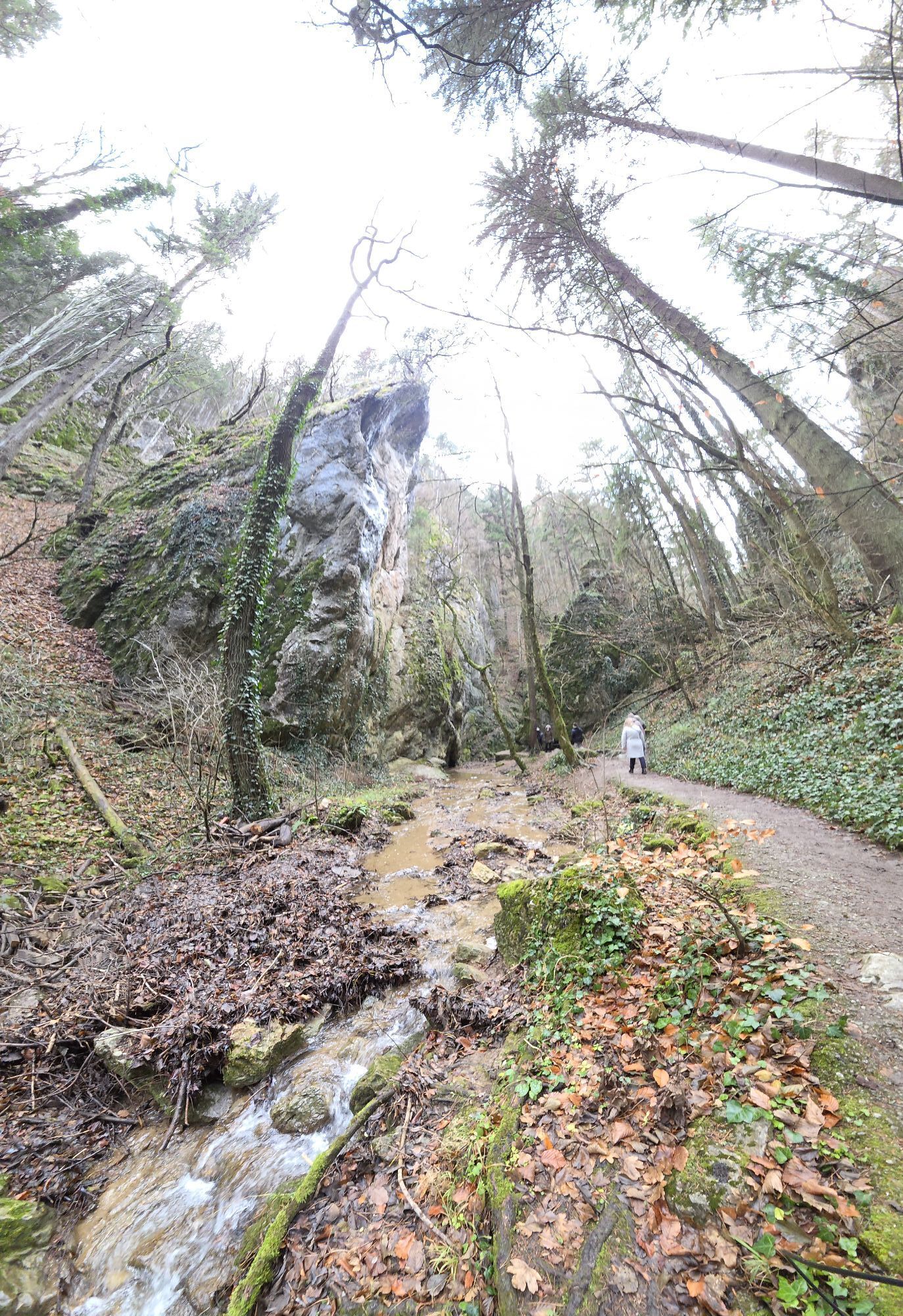
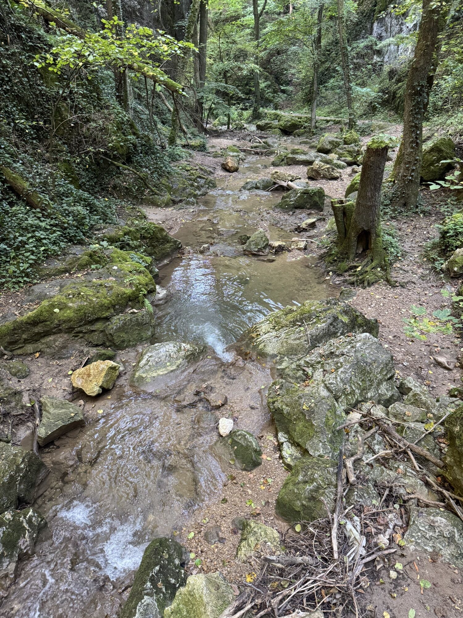
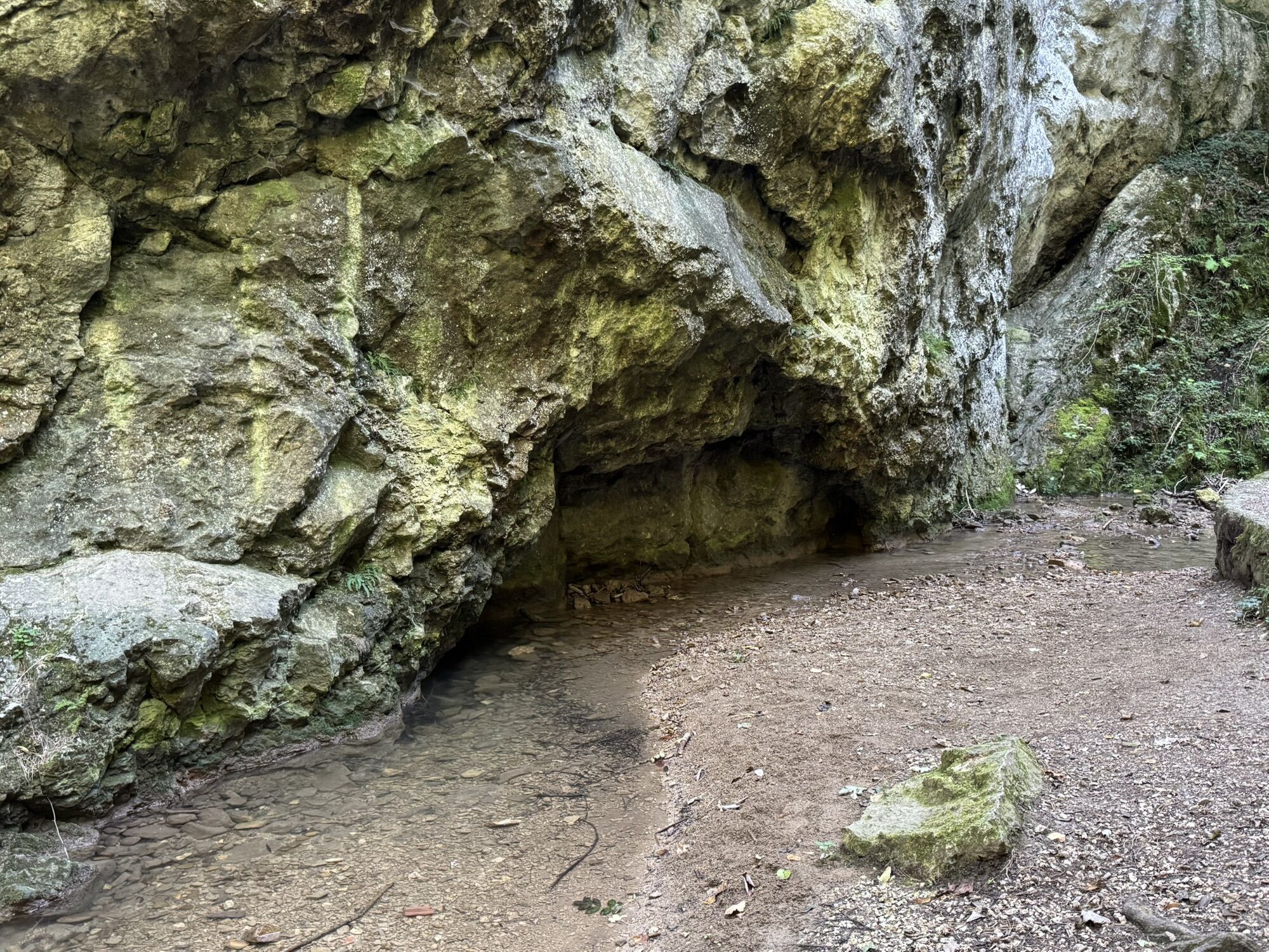
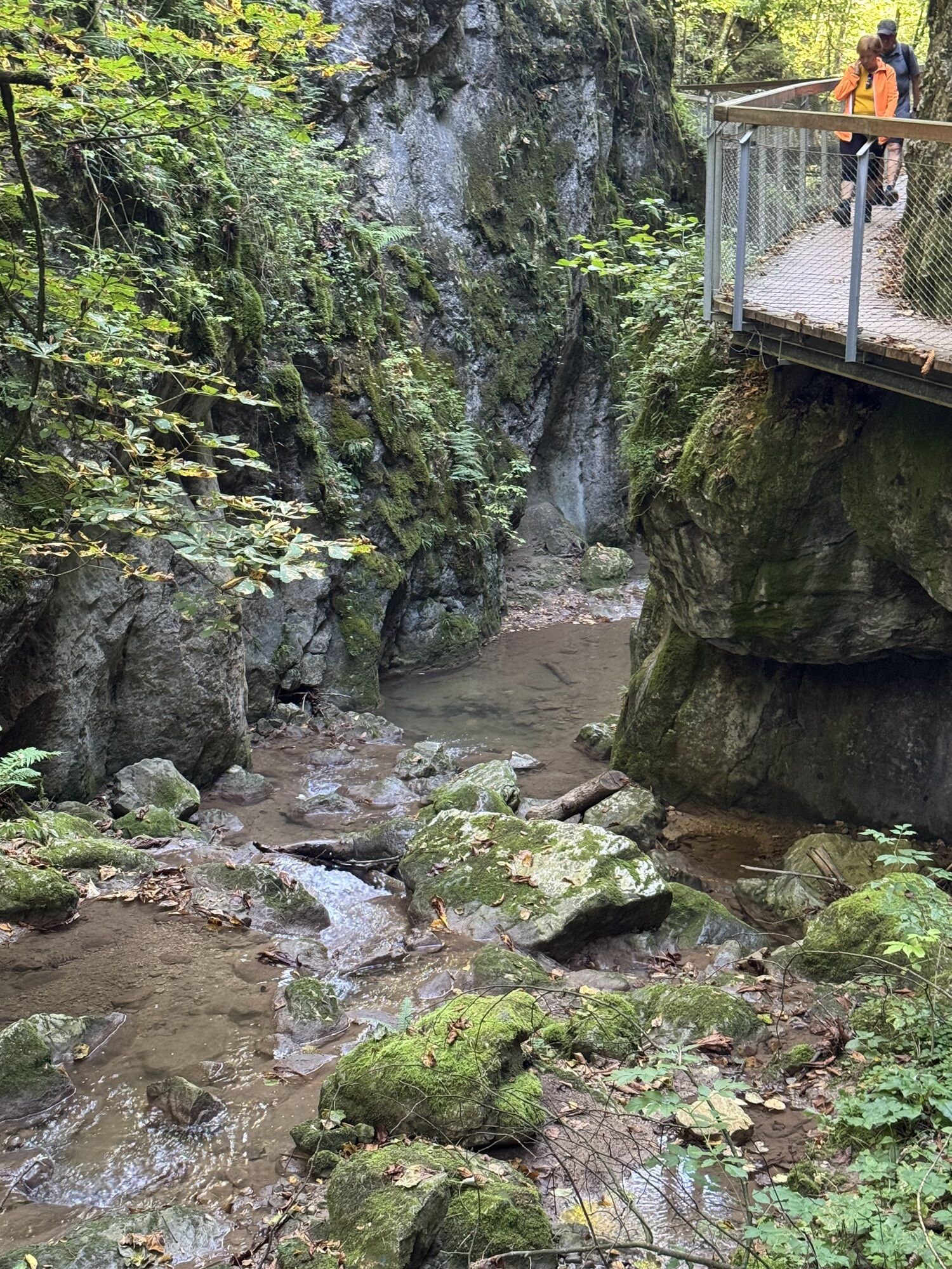
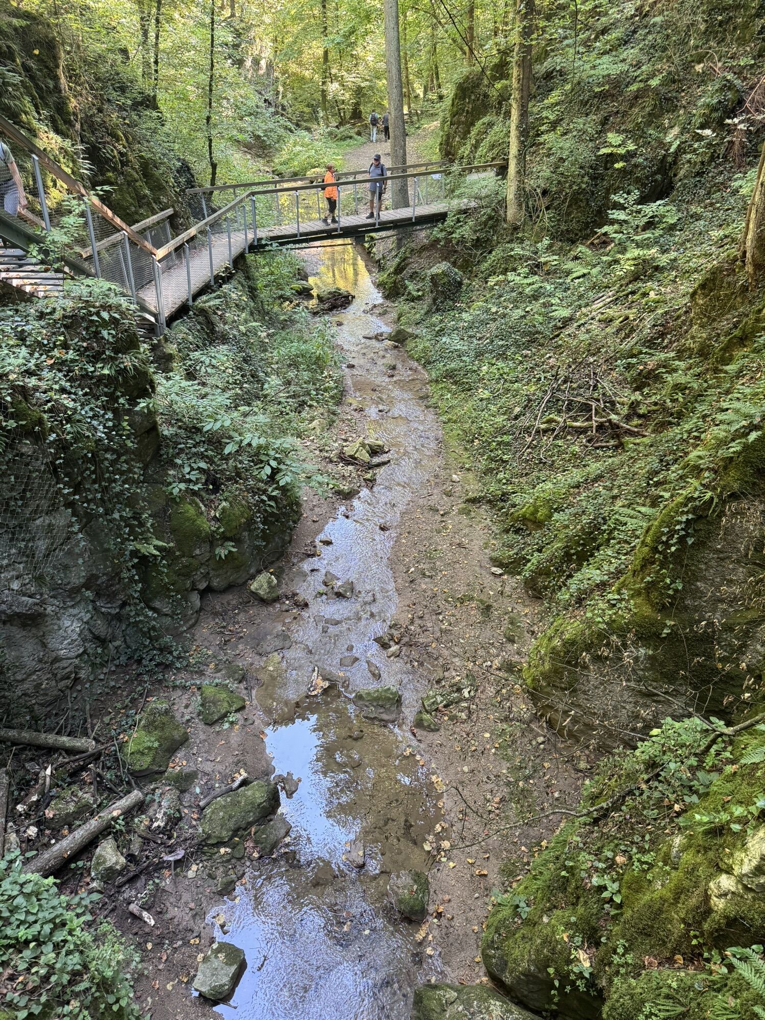
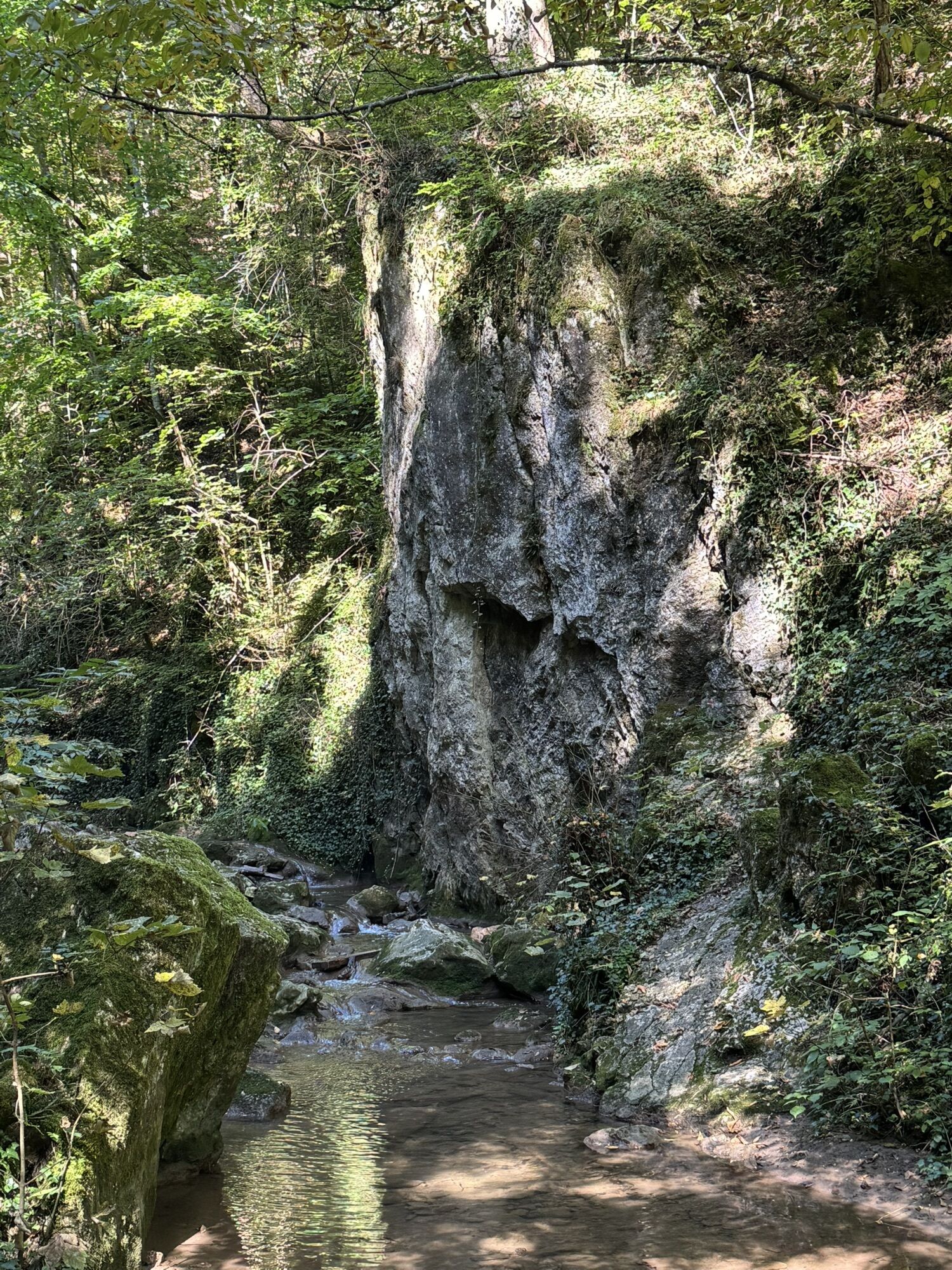
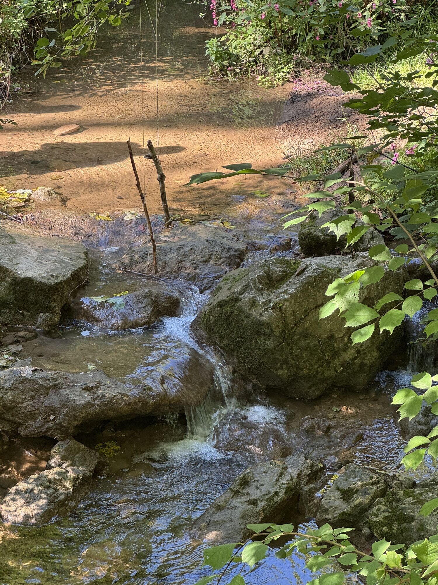
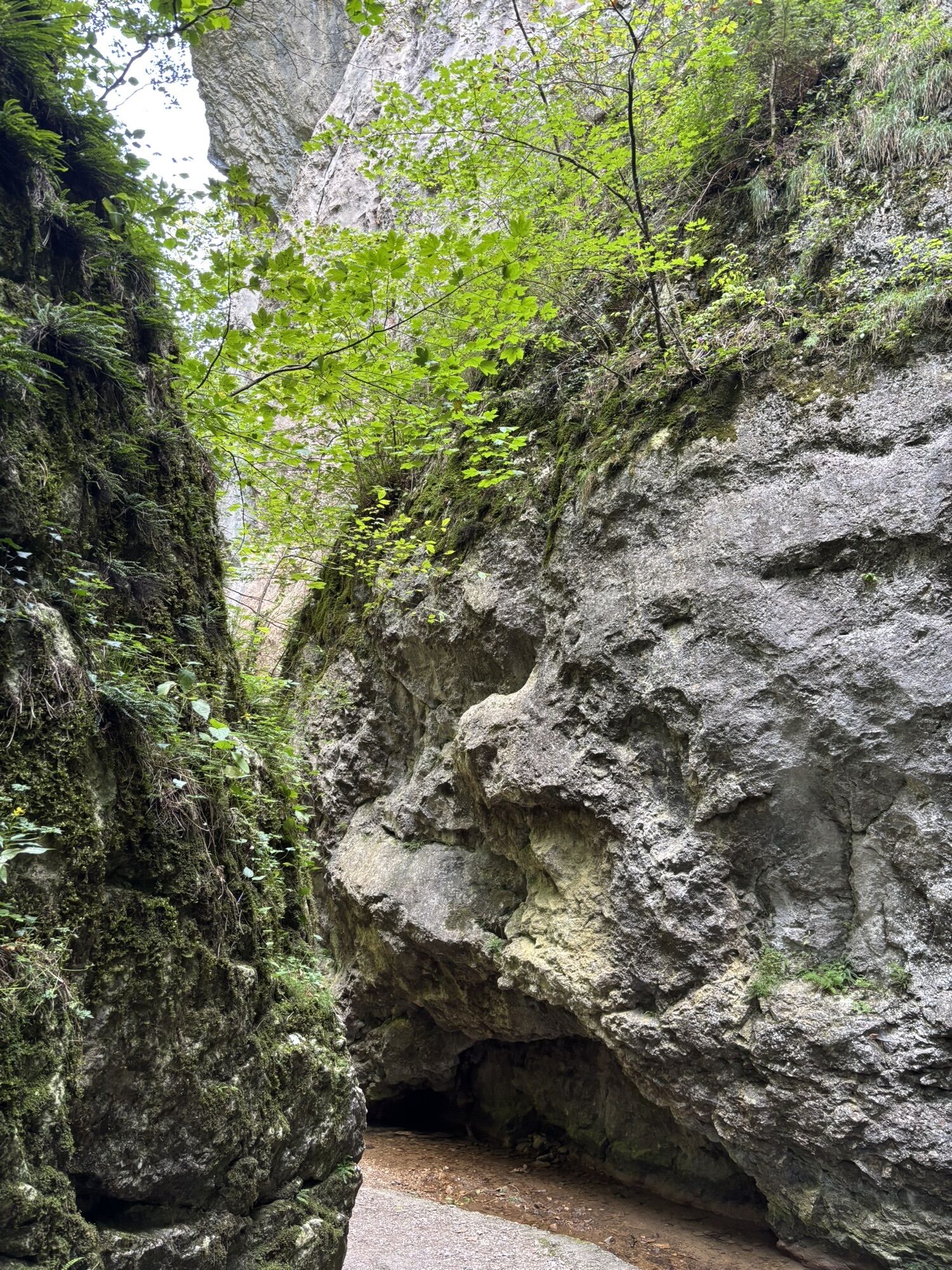
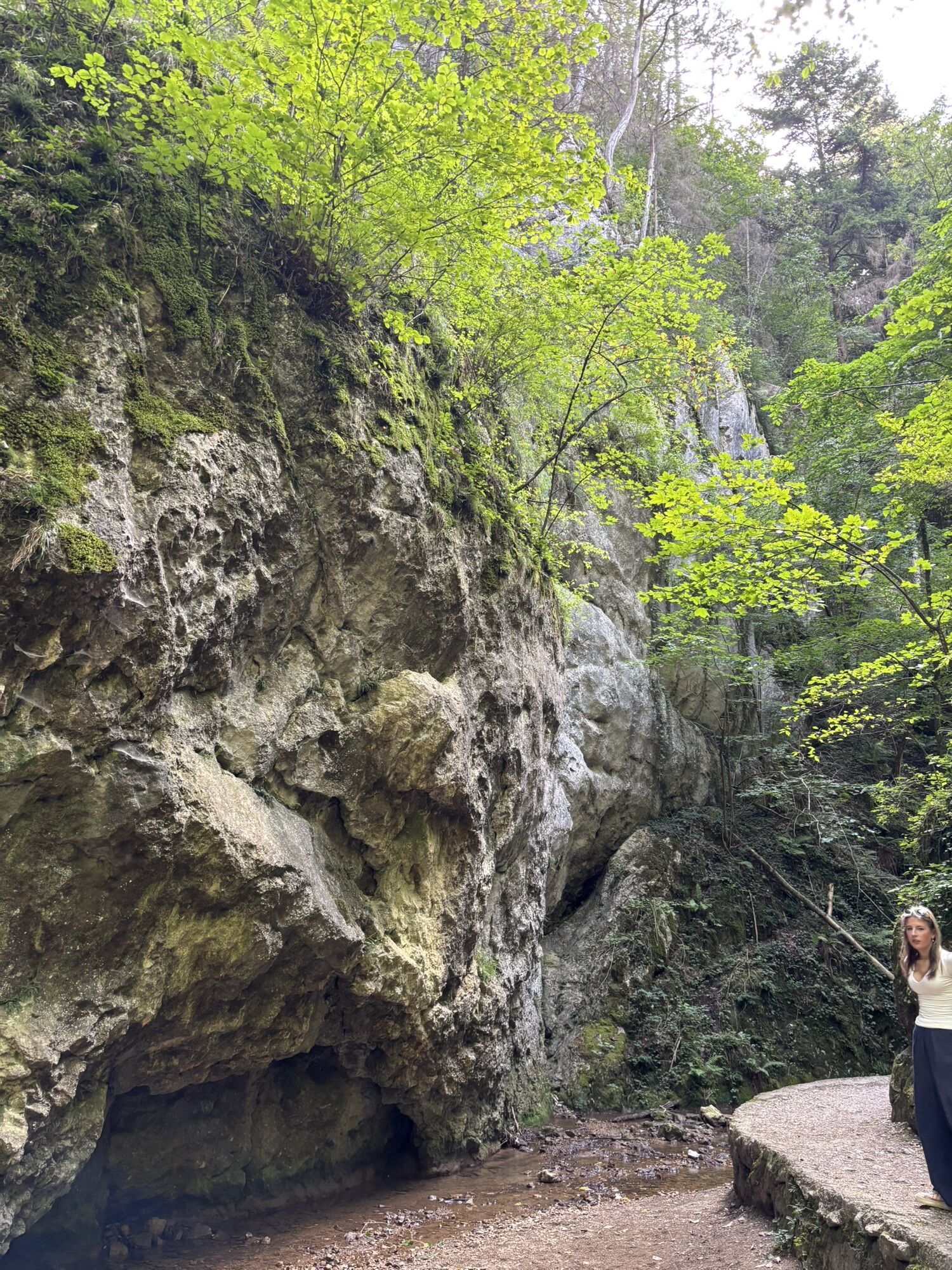
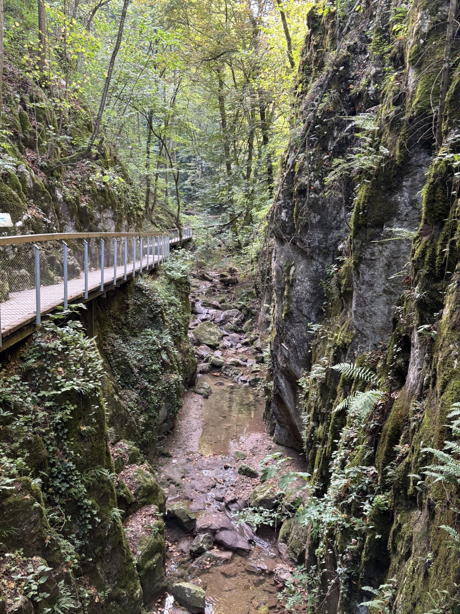
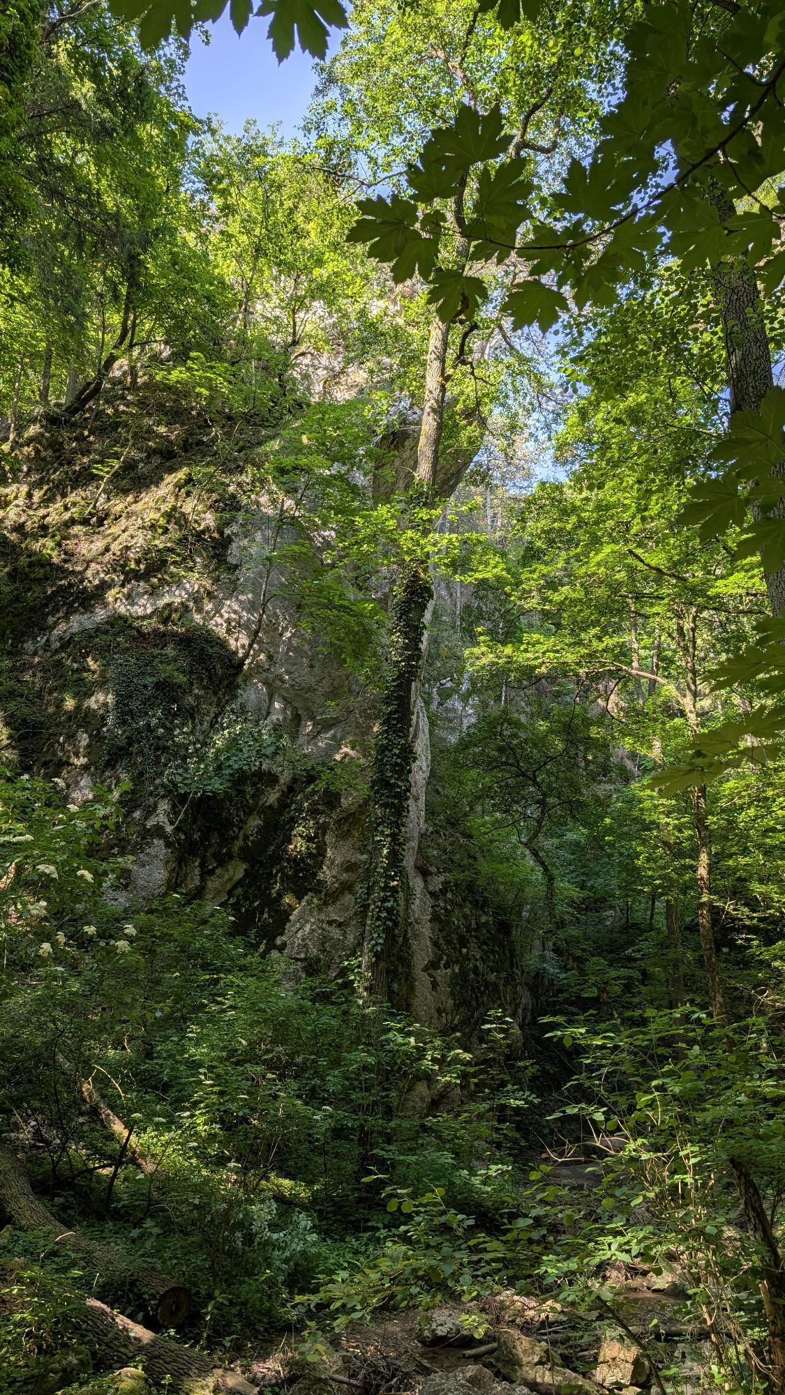
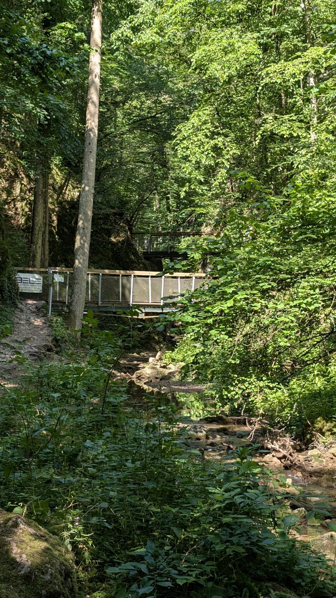
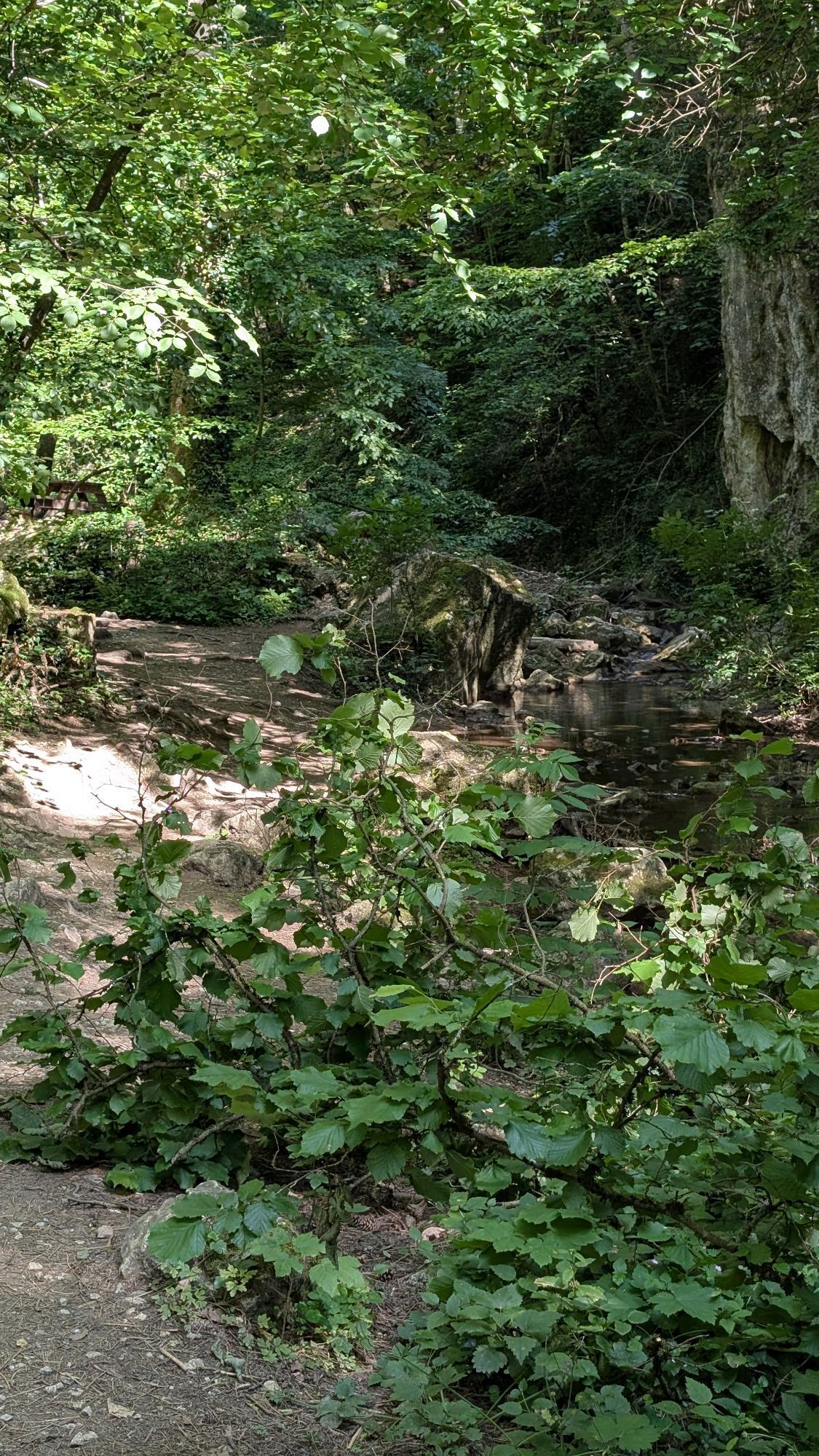
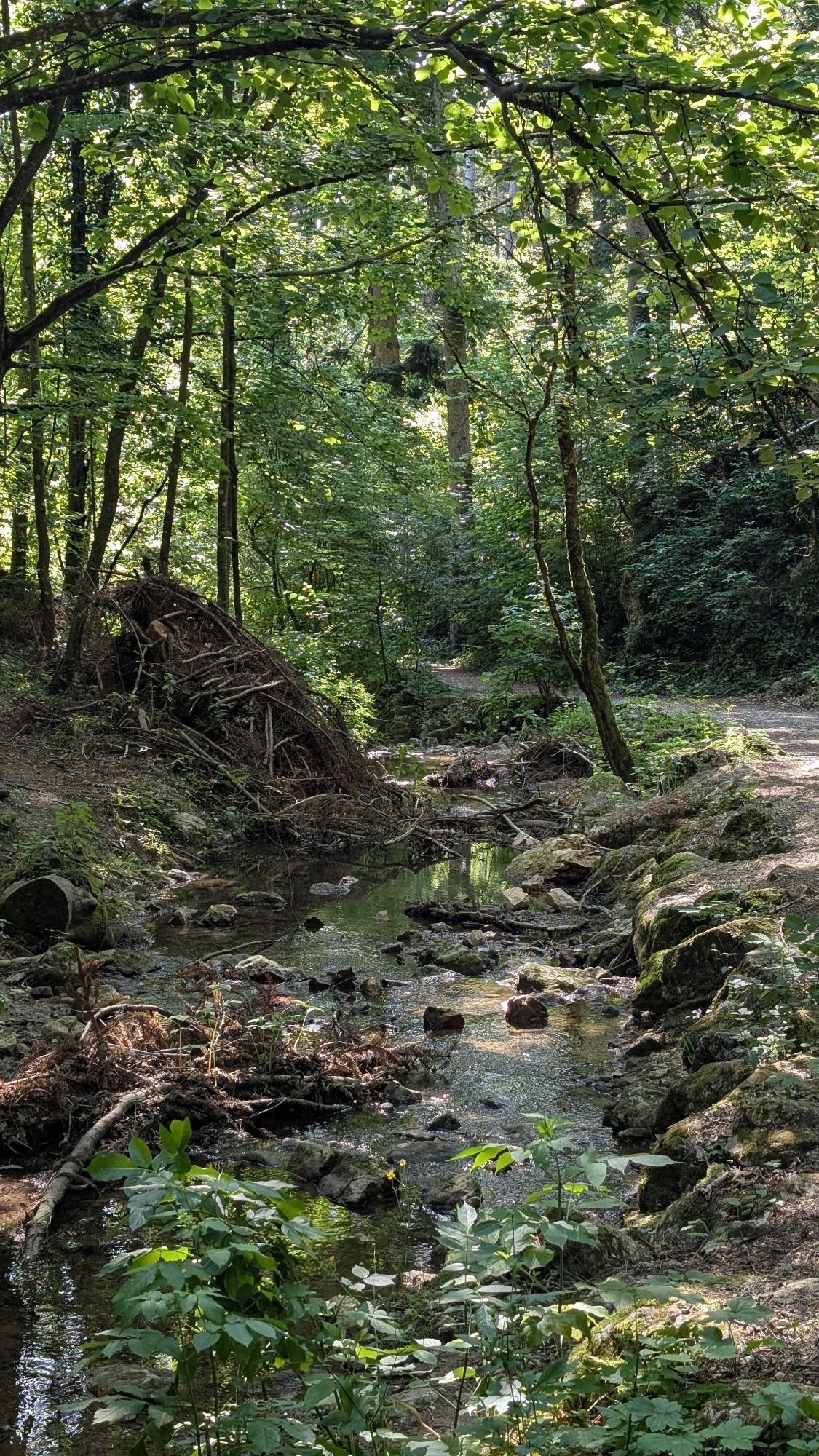
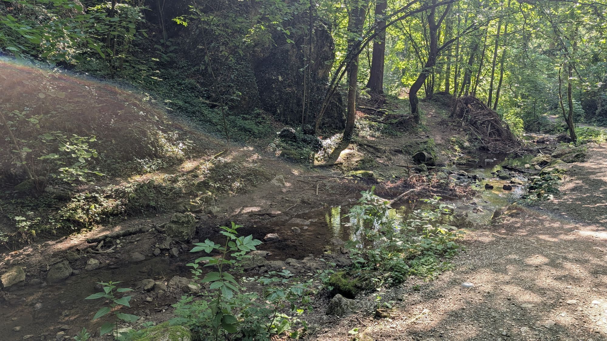
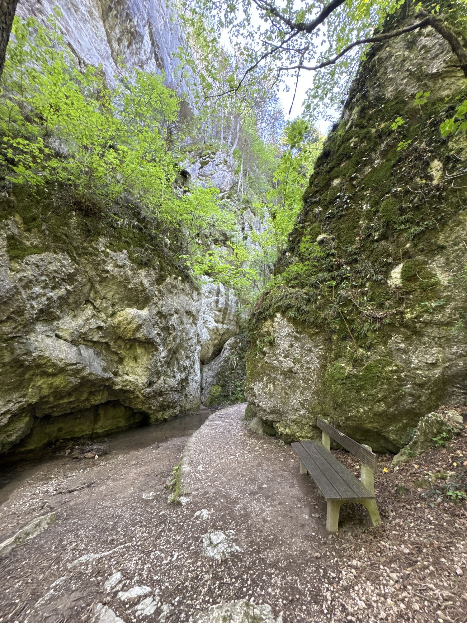
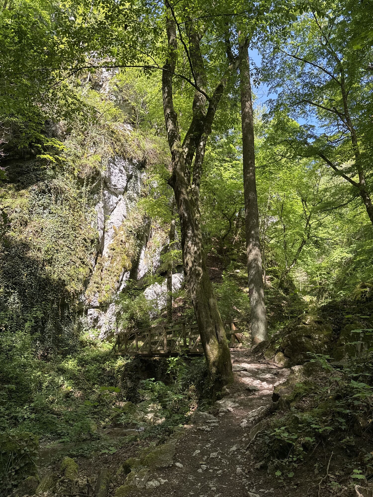
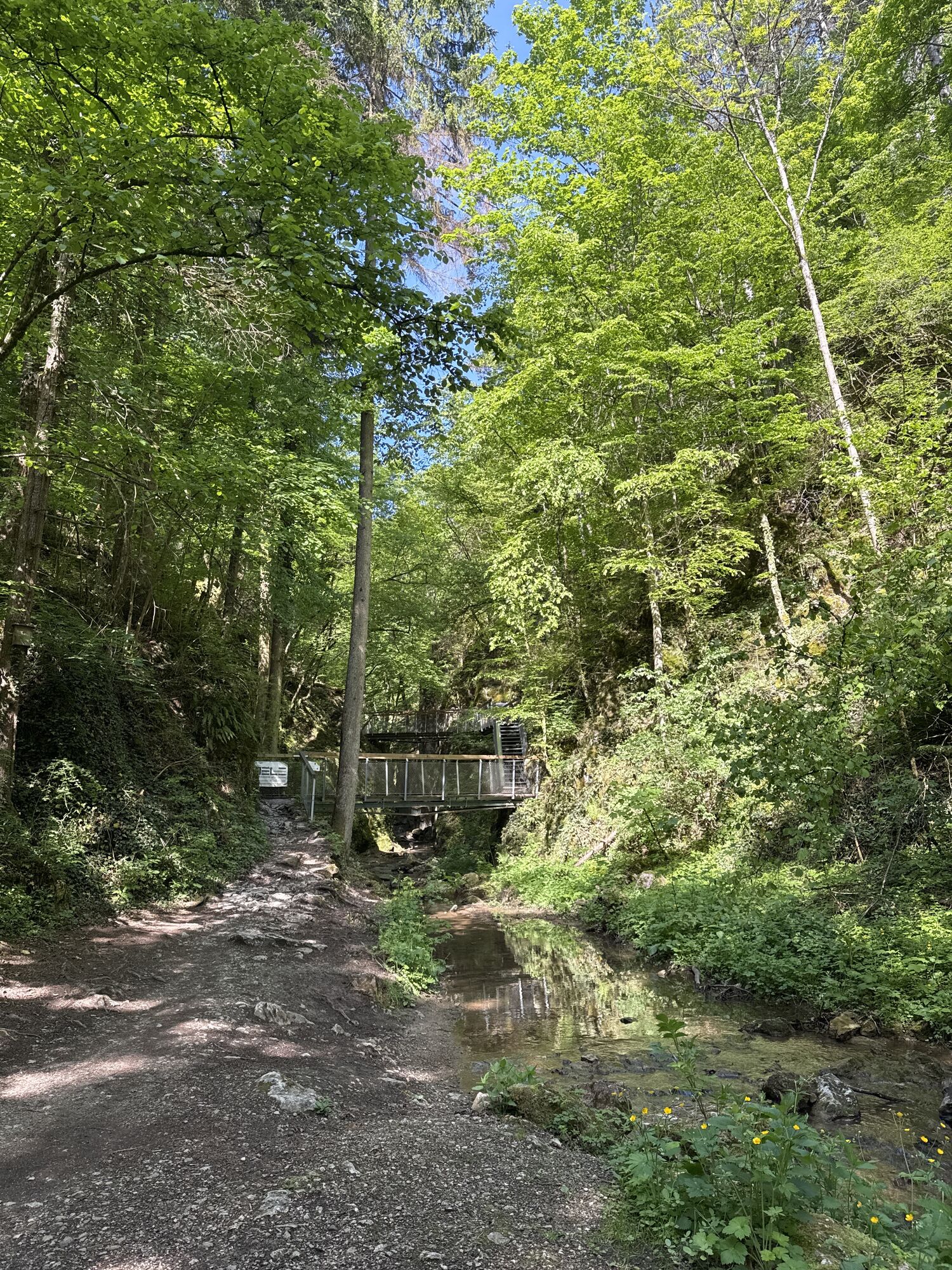
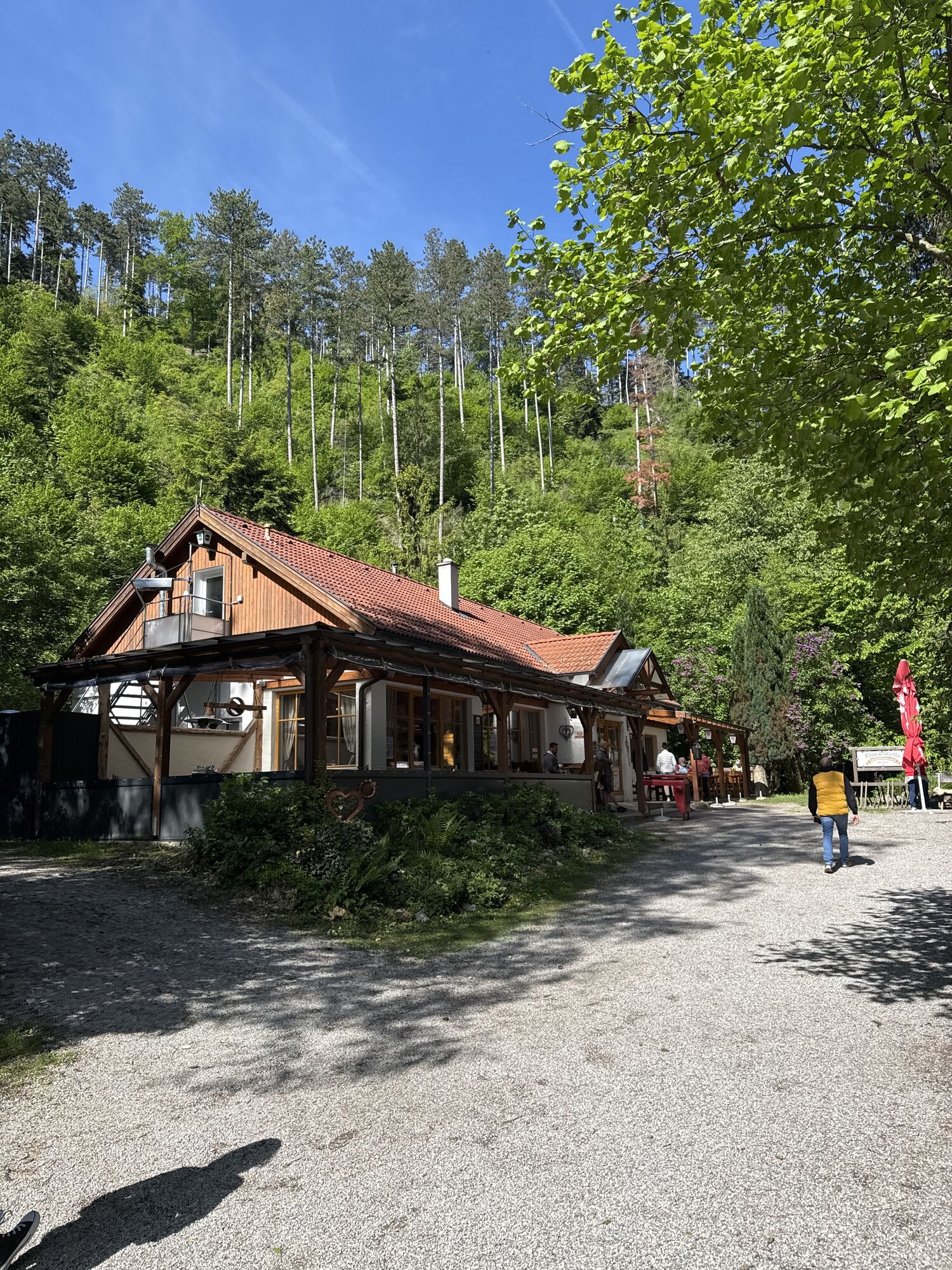
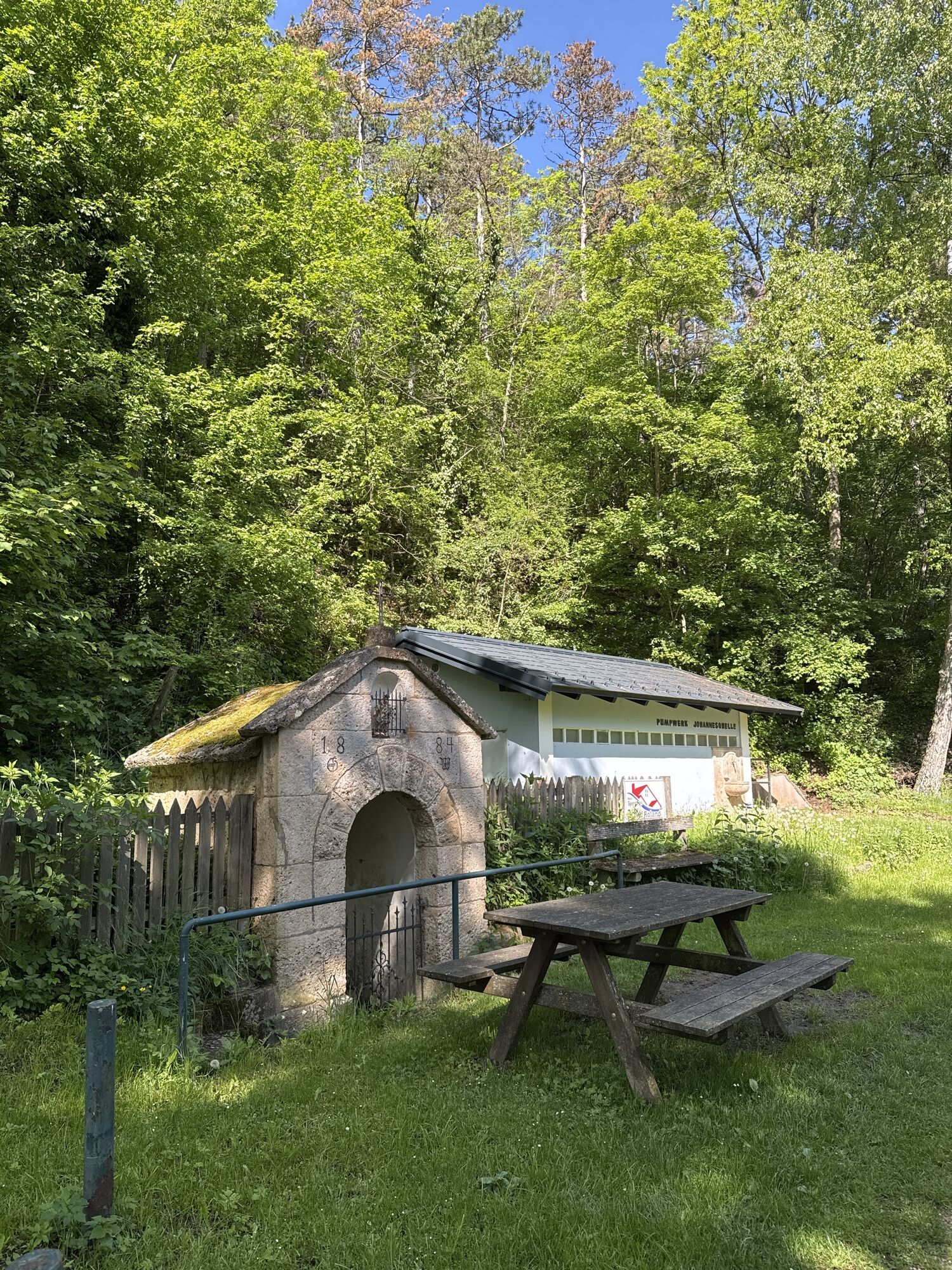
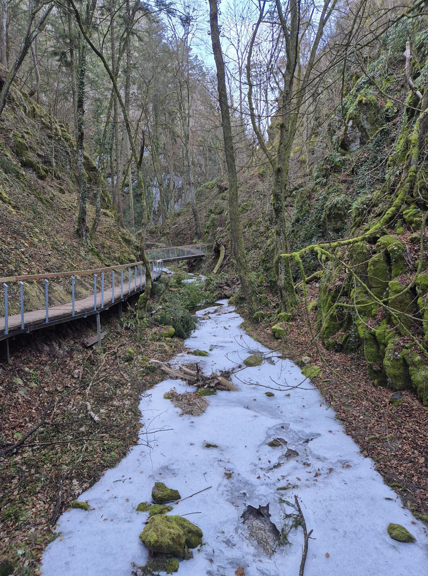
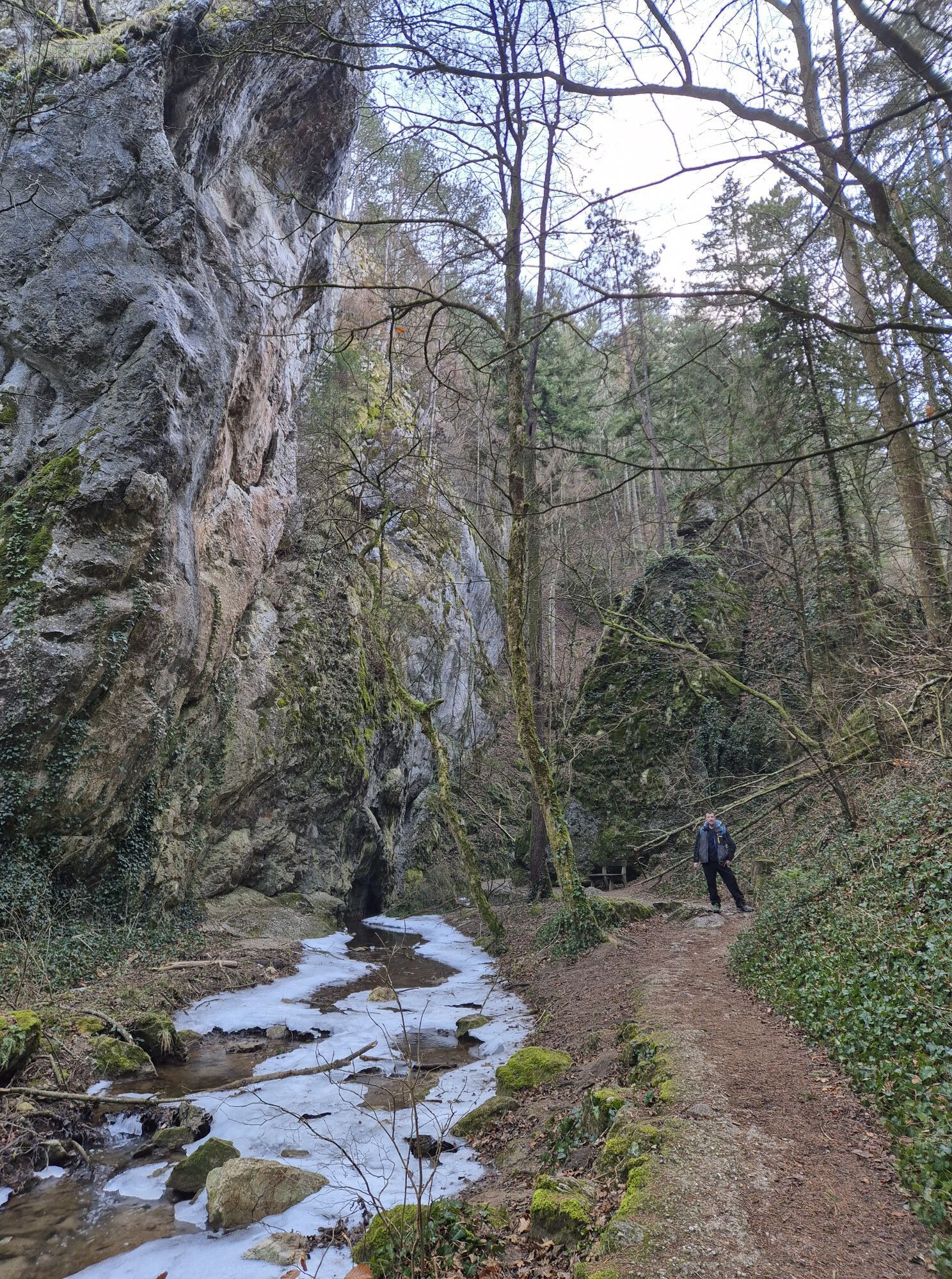
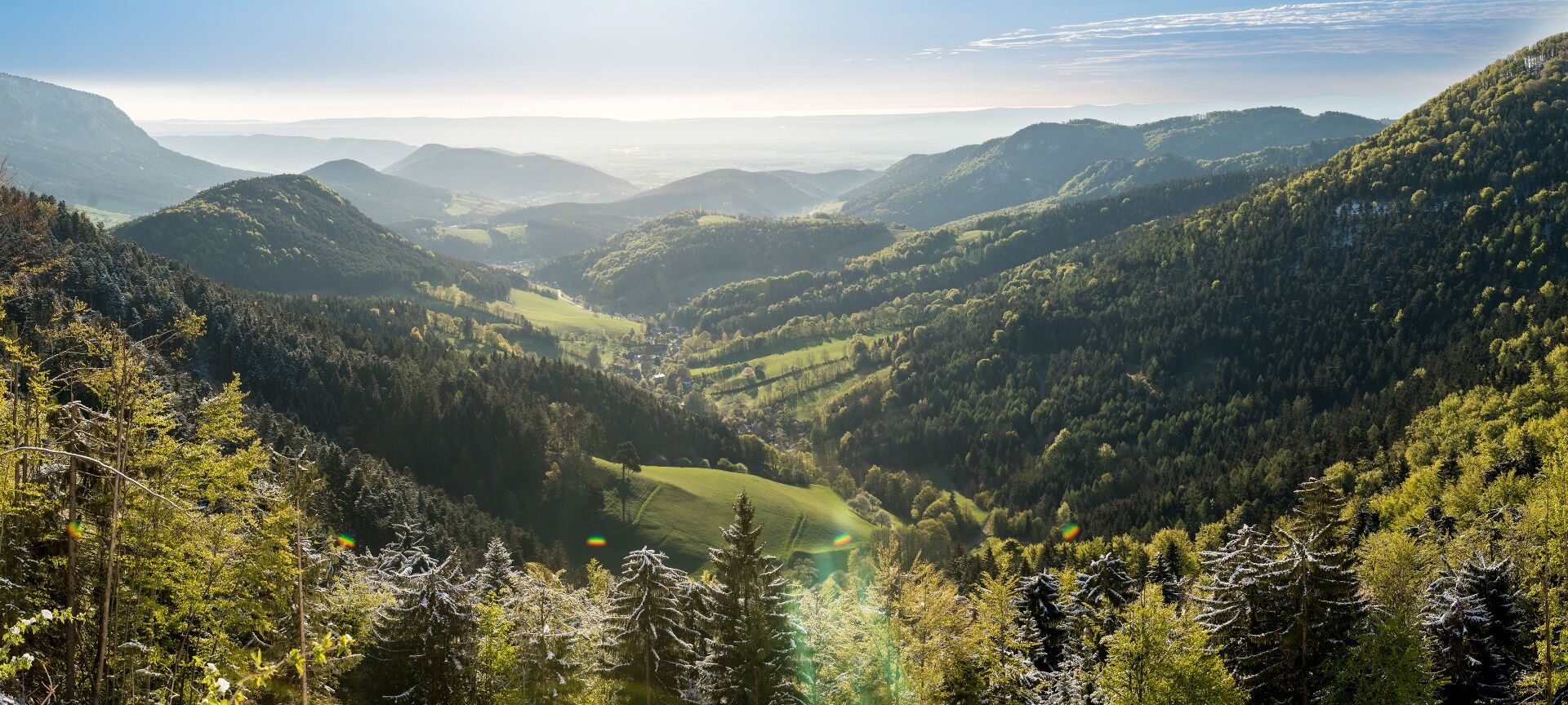
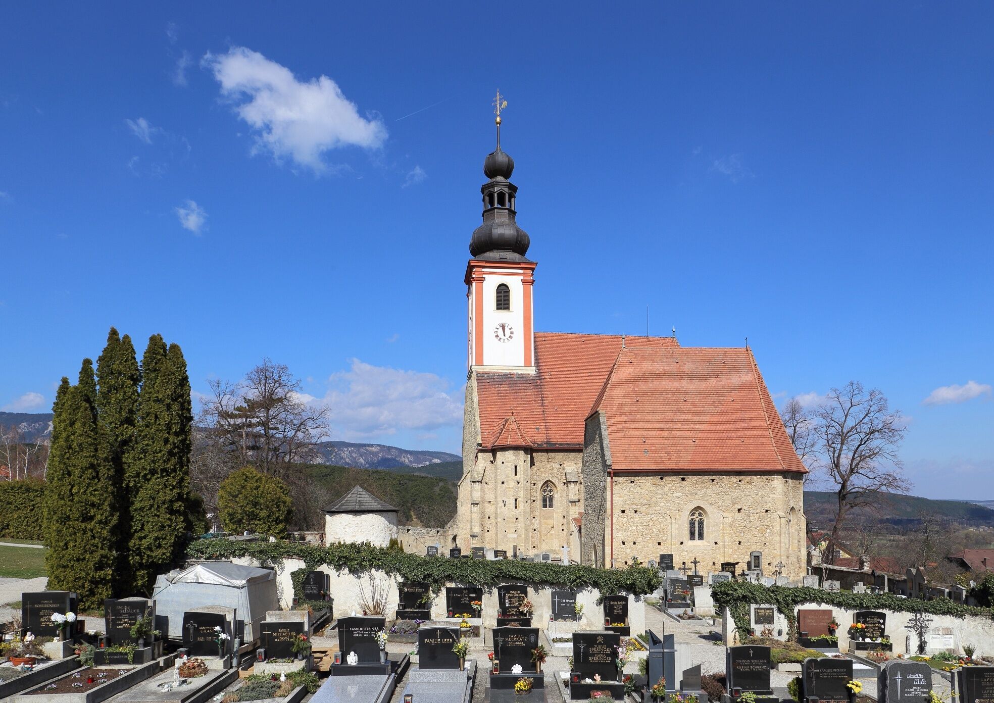
Back on the path, we follow the red-marked descent route towards the Johannesbach Gorge (also feel-good route 2) down to Greith. Passing impressive rock walls, we descend through dense mixed forest and ravines into the valley and, after the first houses in Greith, turn right onto the road to the Johannesbach Gorge. The path leads us directly to the Gerhartl shelter at the entrance to the Johannesbach Gorge. We enjoy the descent on stairs and footbridges through the rushing gorge, an impressive spectacle, even if it is only of short duration. After leaving the gorge, with the creek still accompanying us, a nature experience trail leads us to the inn Klammwirtin and the road continues towards Würflach. Before reaching the houses of the town, we turn right at a turning area over the Johannesbach and ascend to the Wellness-Welt Würflach. Here ends the first part of the Regional Route S. The second part leads over Dörfles and the Hohe Wand back to the Grünbacher Sattel. Additionally, there are accommodation options in Würflach, or you can walk north for the return journey to Willendorf train station.
Always bring suitable maps. Wear sturdy shoes adapted to the route, bring sun and rain protection as well as water and a snack. Take your mobile phone with you and save the mountain rescue emergency number: 140
Your hikes in the Vienna Alps should be a completely beautiful and safe experience. Please therefore observe the following:
Preparation
Make sure when choosing the route that it matches your mountain experience and your fitness. Inform yourself beforehand about the weather report. The weather in the mountains can change surprisingly quickly. Therefore, always start out equipped accordingly (e.g., rain protection).
Check whether the huts and snack stations you want to visit along the way are open. Inform someone about your route choice and your planned return time before you set out.
Travel from Vienna and Graz along the A2 to the exit Wr. Neustadt West. Take the B26 towards Puchberg am Schneeberg; shortly after the town of Grünbach the Grünbacher Sattel is reached.
Take the train from Wiener Neustadt to Grünbach am Schneeberg Kohlebergwerk station. A short walk remains to the starting point of the hike. Alternatively, travel to Puchberg am Schneeberg and take the bus to Grünbach am Schneeberg Klaus.
More information can be found at www.oebb.at
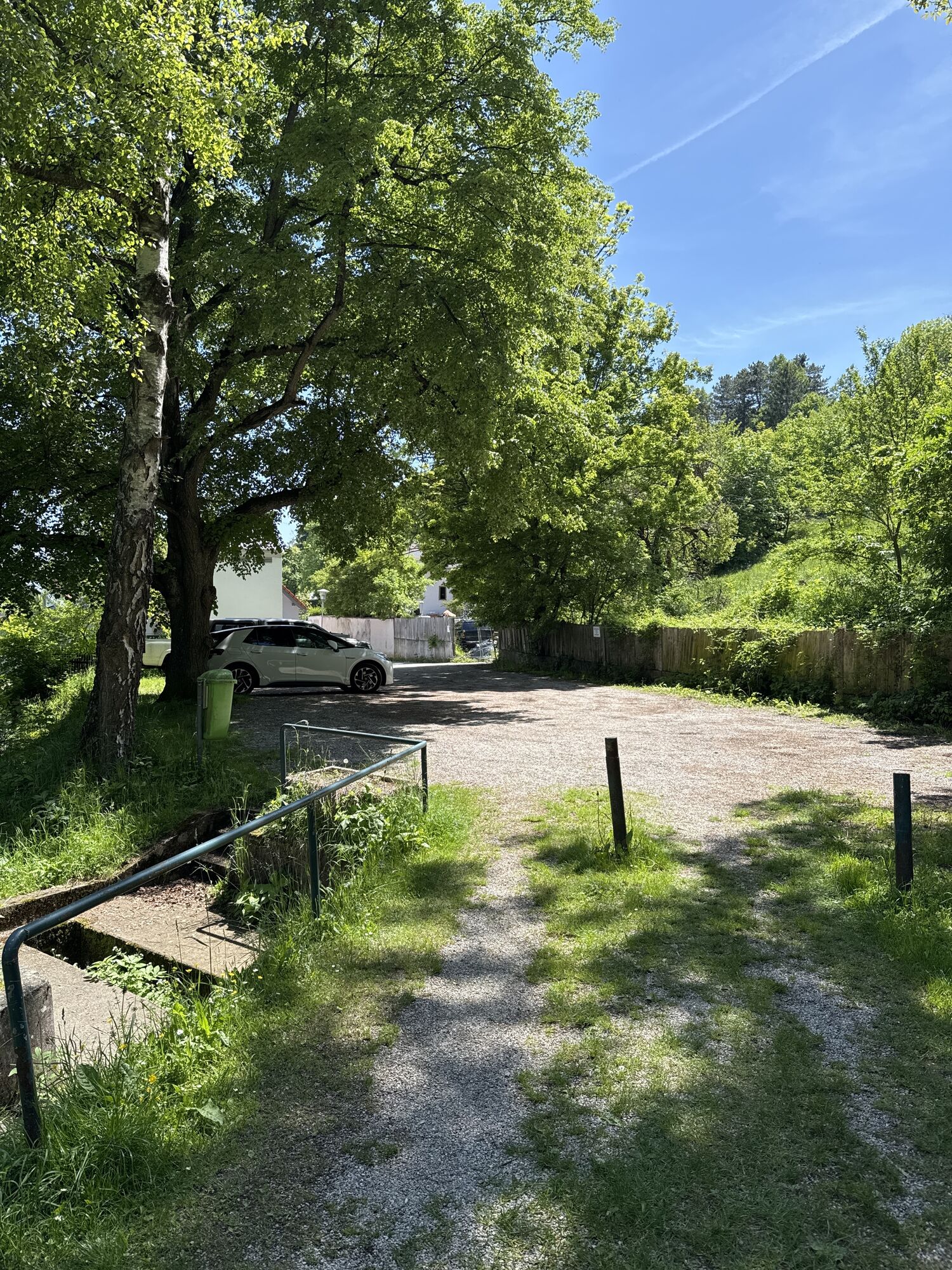
There is a parking lot available right at the start at Grünbacher Sattel.
Also hike the connecting routes:
WAB - Regional Route R: Markt Piesting - Puchberg/Schneeberg
WAB - Regional Route S Part 2: Würflach - Hohe Wand - Grünbacher Sattel
Vienna Alps in Lower Austria, www.wieneralpen.at, +43 / 2622 / 78960
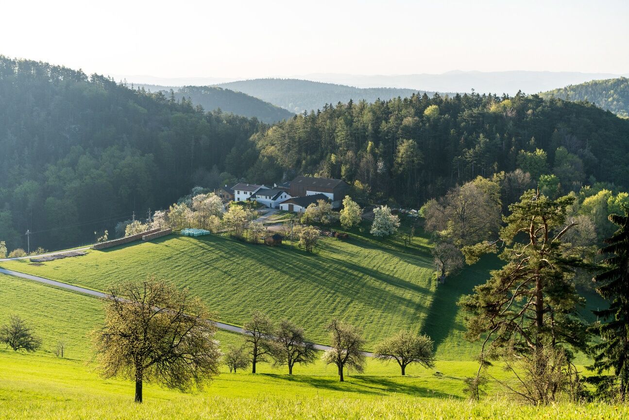
Combine your hike with a detour to Grünbach am Schneeberg. Here you have the option of staying at the Alpen-Aktiv Country Inn Schubertlinde.
Obľúbené výlety v okolí
-
4,6
Losenheim: Edelweißhütte - Fadensteig - Fischerhütte
strednáTuristika 11,5 km -
4,7
Zahnradbahn und Wandern am Schneeberg - Plateauwanderung
strednáTuristika 6,90 km -
4,8
Cultural walk Payerbach-Reichenau
svetloTuristika 7,43 km -
4,9
Insider tip: Schneeberg via the Novembergrat
ťažkéTuristika 13,5 km -
4,9
SCHNEEBERG Losenheim Nandlgrat Klosterwappen Fadenweg 28.09.2017
ťažkéTuristika 15 km -
4,8
Flatzer Wand Wanderung
svetloTuristika 5,62 km -
4,8
"Krummbachstein 1602m" - Eng - Payerbach - Rundwanderweg
strednáTuristika 24,8 km -
4,8
ÖTK Klettersteig (vormals HTL Klettersteig) und Blutspur (D/E)
ťažkéVia ferrata 1,41 km -
4,8
Hohe Wand: Babygrat (1+), Rundwanderung und Wagnersteig (A)
ťažkéTuristika 11,8 km -
4,8
Hohe Wand Wagnersteig - Springlessteig
strednáTuristika 5,59 km
Turistika a stopovanie


Nenechajte si ujsť ponuky a inšpiráciu na ďalšiu dovolenku
Vaša e-mailová adresa bol pridaný do poštového zoznamu.