







Hasleiten hiking trail in Kirchberg am Wechsel
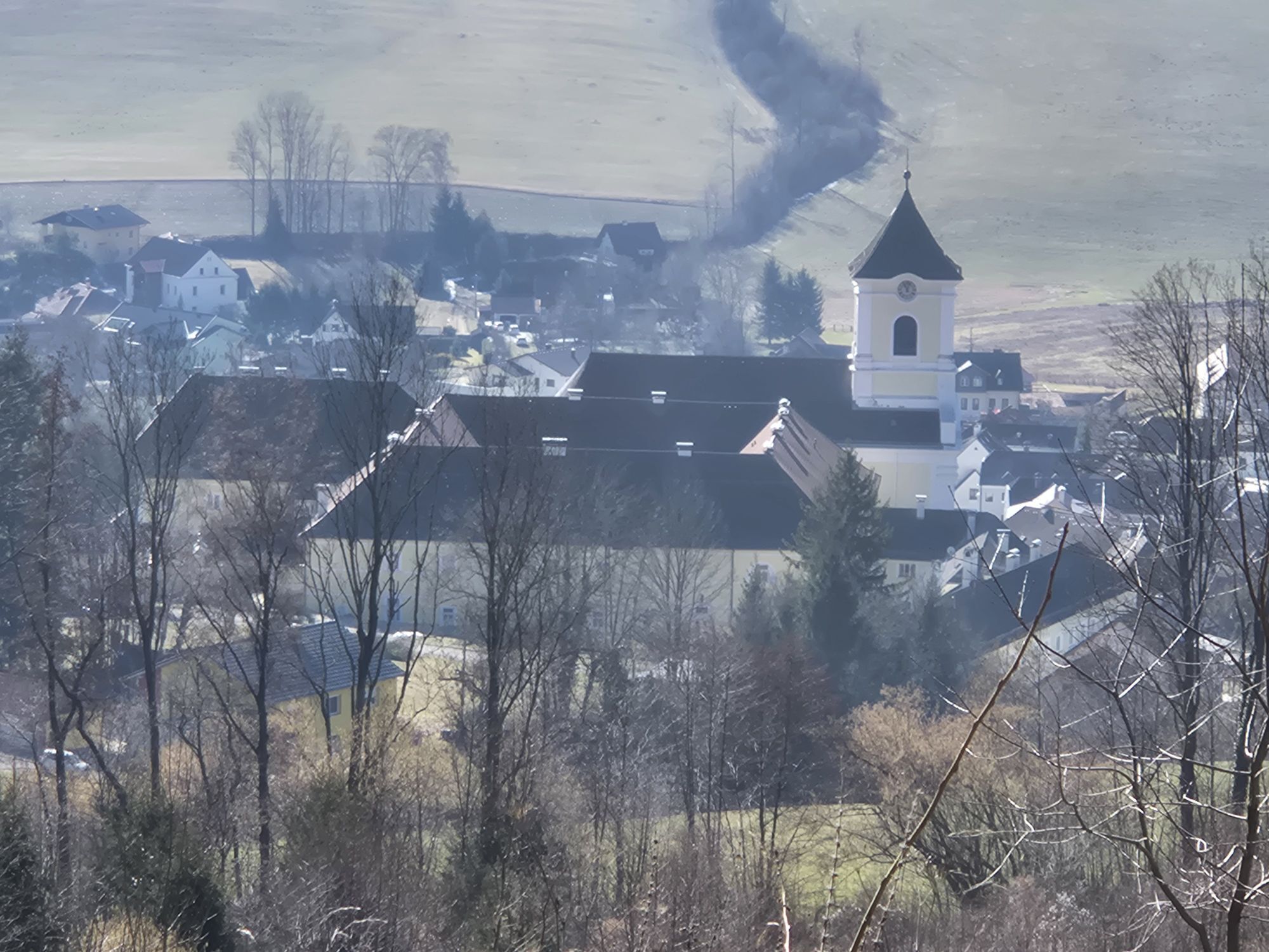
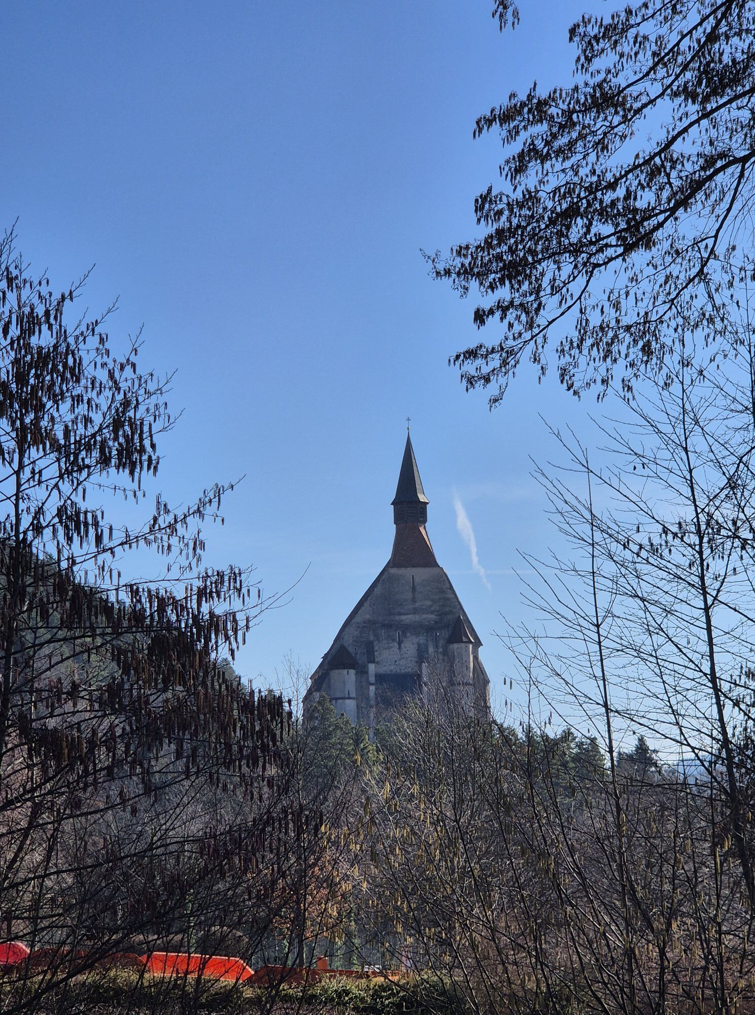
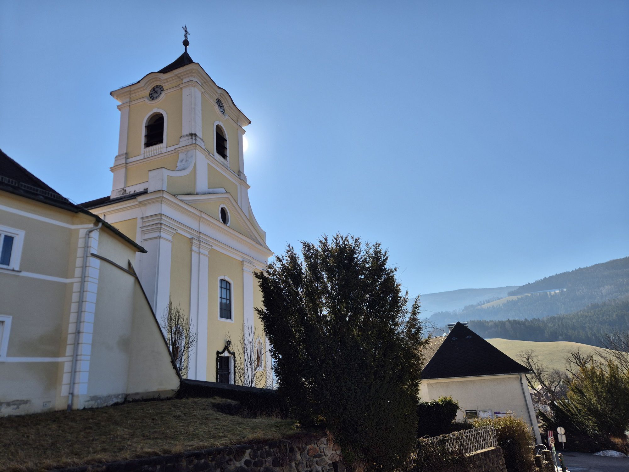
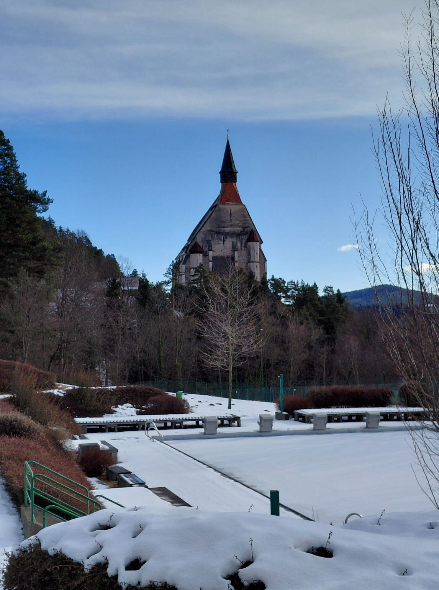
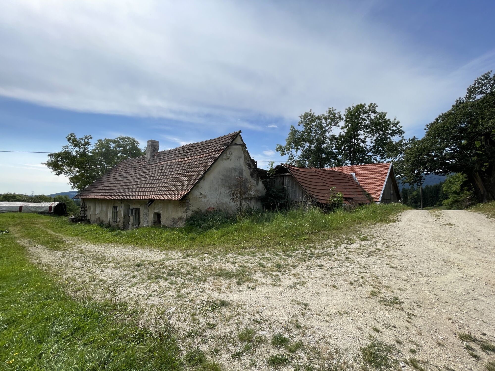
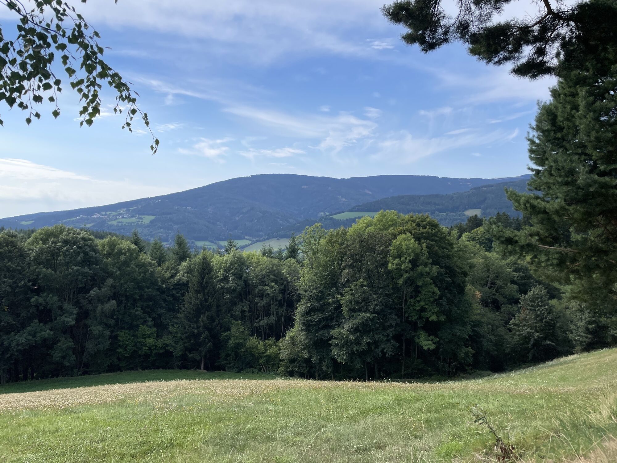
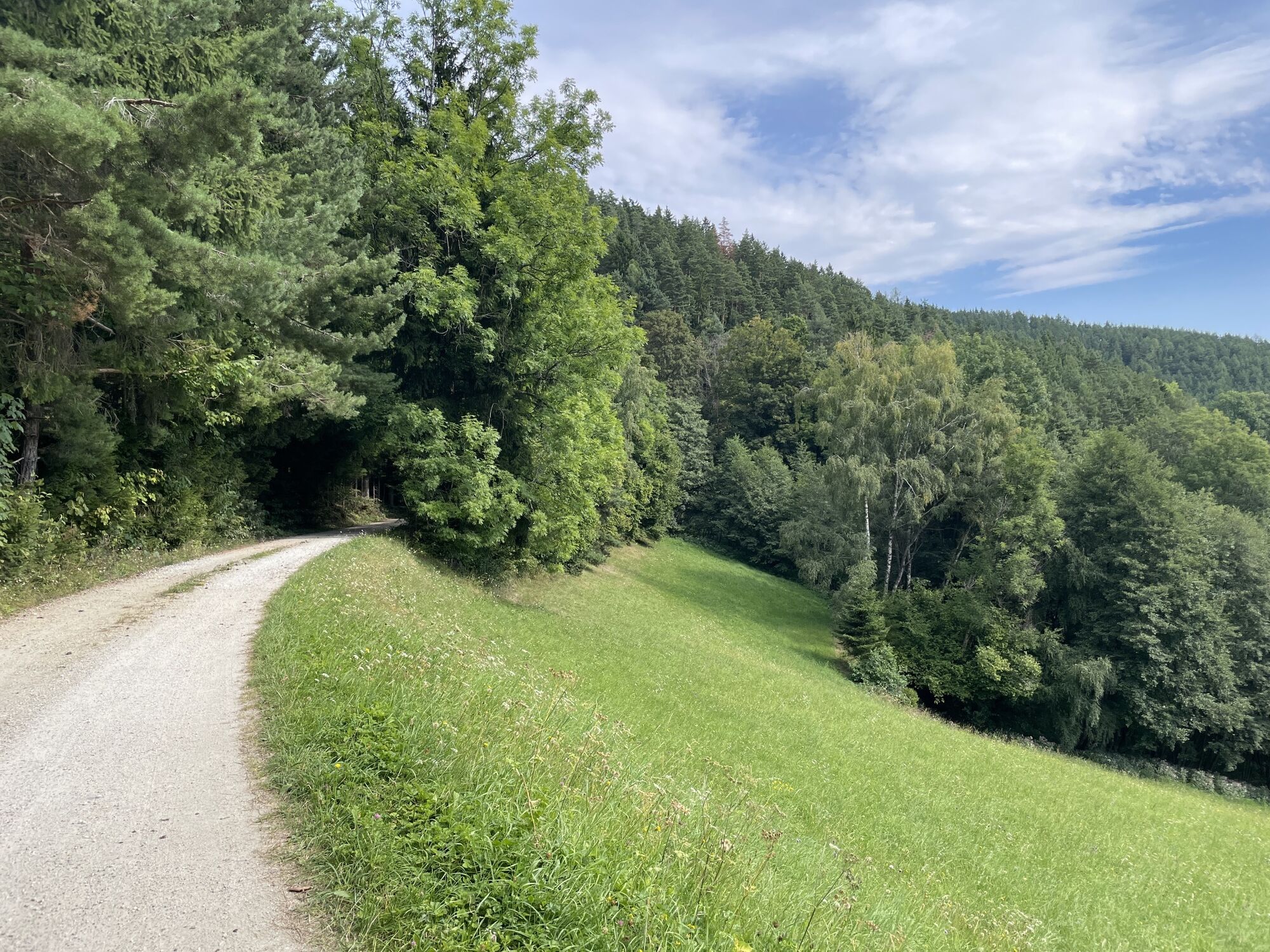
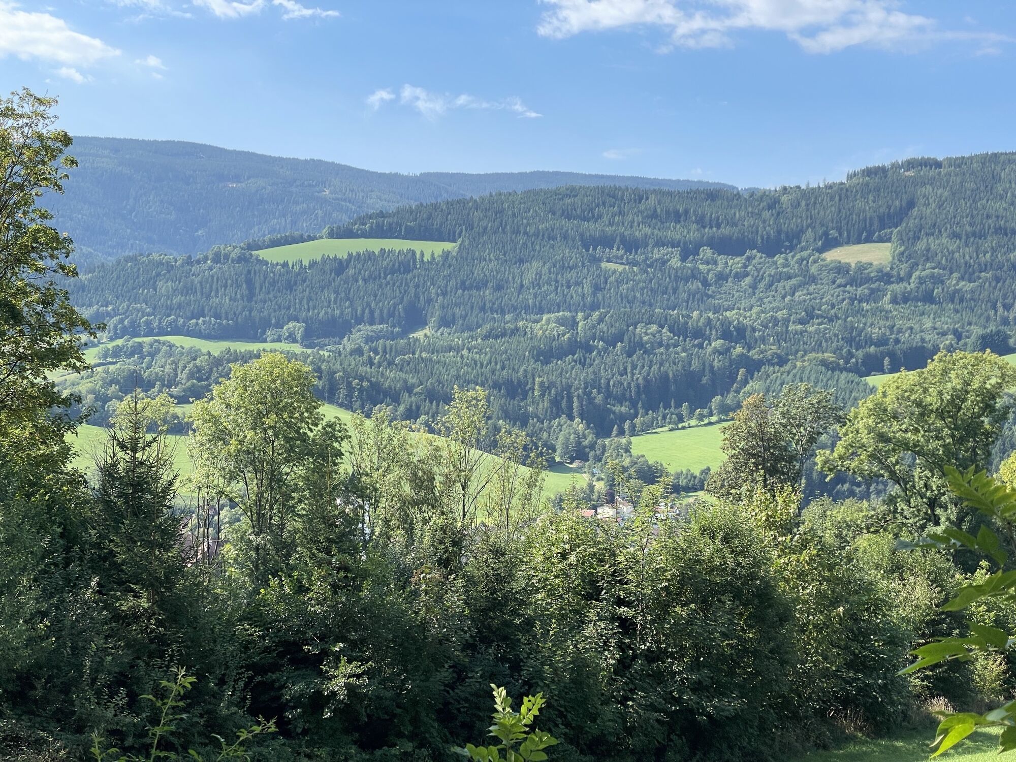
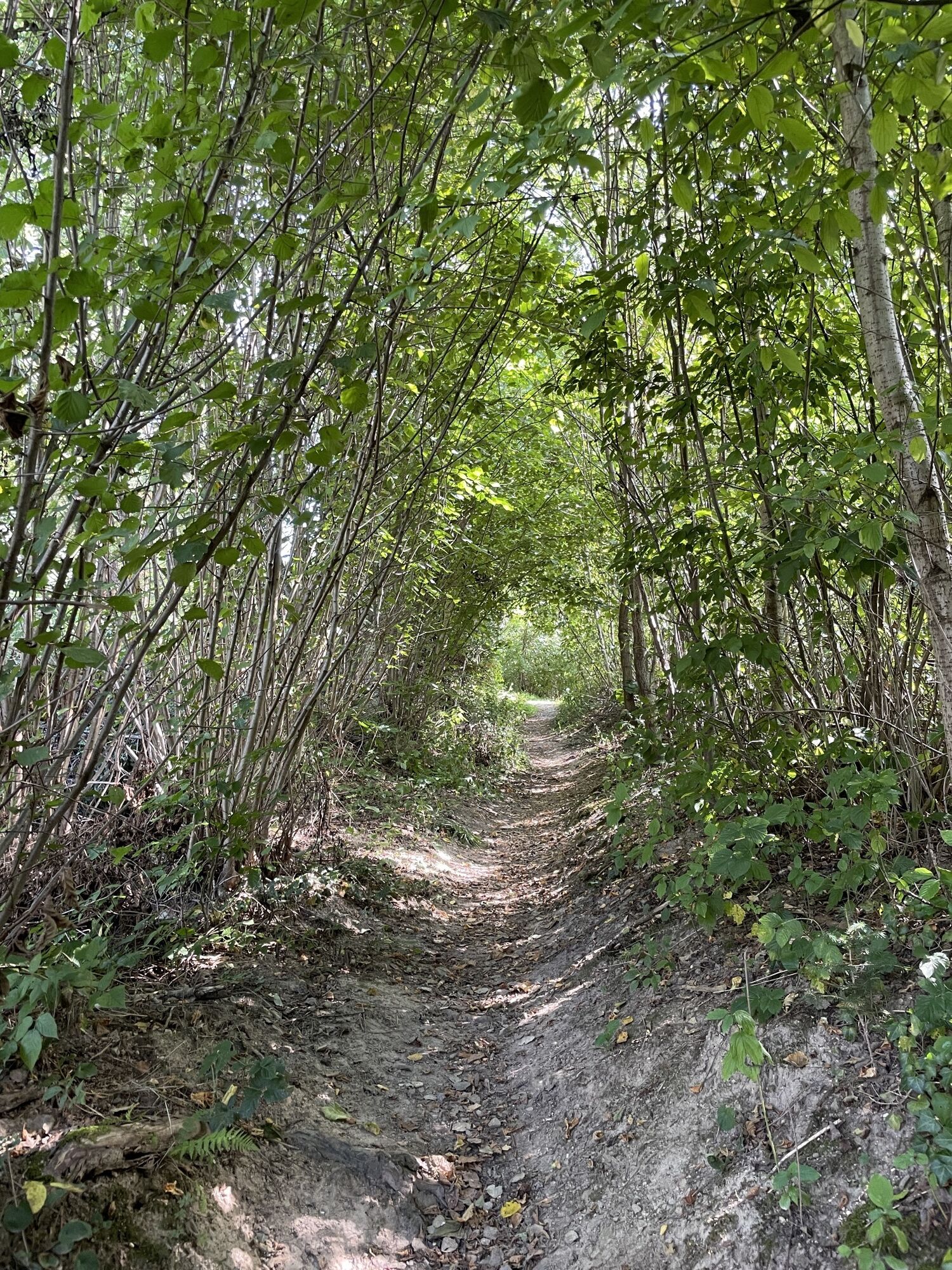
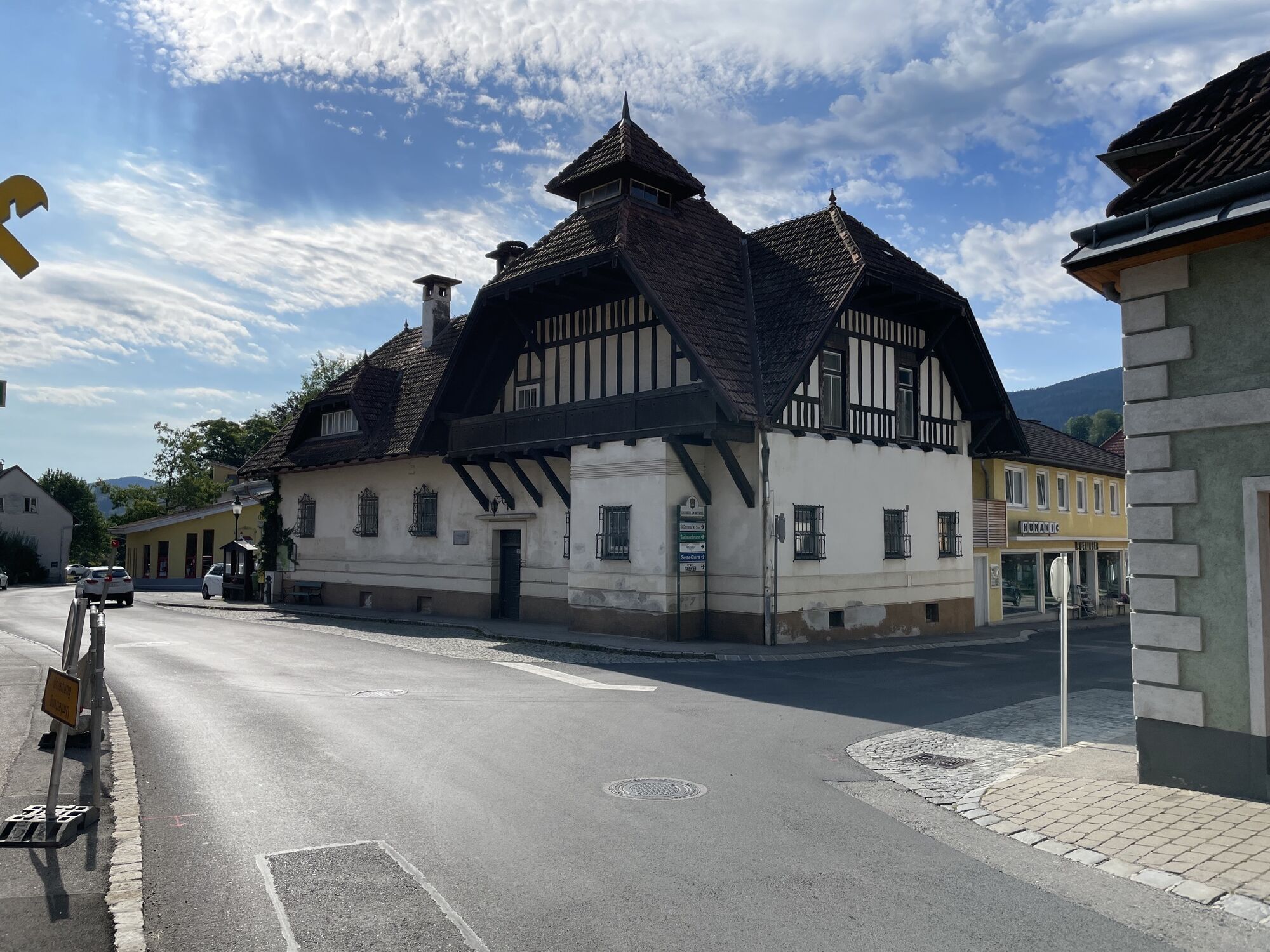
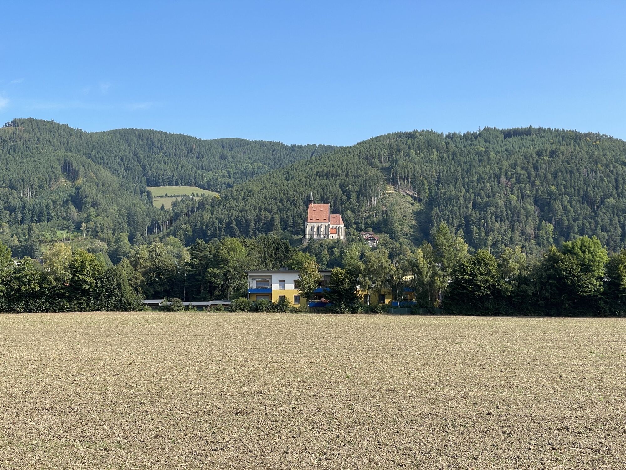
The Hasleiten loop leads via Kirchgraben to Hasleiten back down again and through the districts of Sellhof, Sachsenbrunn and Tratten. Due to its length, the hike requires a good level of fitness and leads...
The Hasleiten loop leads via Kirchgraben to Hasleiten back down again and through the districts of Sellhof, Sachsenbrunn and Tratten. Due to its length, the hike requires a good level of fitness and leads over steep sections, but the majority of the route is on firm ground. If you choose to start in a northerly direction via the Kernstockwarte, you will get the steep section behind you right at the beginning. Here you can visit the chapel on the Kavalierenberg or enjoy a wonderful view of the Feistritztal and Wechsel region from the Kernstockwarte. The route now takes you through pleasant forests and peaceful countryside until you reach the village below, where there are numerous opportunities to stop for refreshments. The restaurant at the Hotel Molzbachhof in Tratten is a culinary delight. There is also the beautiful Paradiesgart'l and the adventure mill where fresh bread is baked every week. In the center of Kirchberg there are also various restaurants, such as the Gasthof Grüner Baum or the Gasthof St. Wolfgang, which invite you to linger and enjoy their cozy hospitality. When in Kirchberg am Wechsel, you should also visit the Hermannshöhle, the largest stalactite cave in Lower Austria, the various churches and the bull rodeo at the Ramswirt!

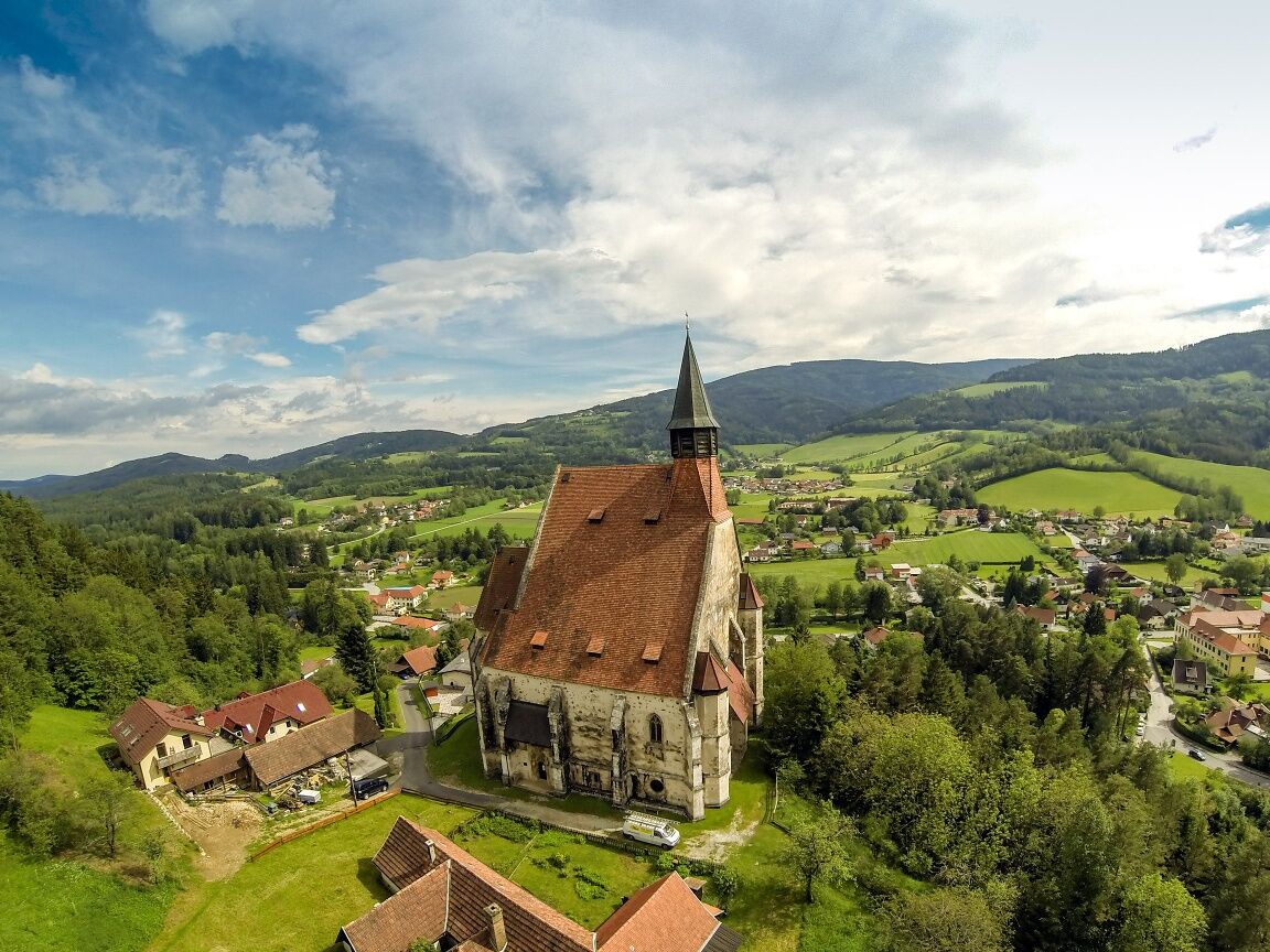

We start our hike at the municipal office, where we also find a tourist information center. Our path is marked in blue. First, we walk towards the parish church and monastery, passing them we reach a path leading up to the street. We follow this street uphill and keep to the left. We turn right onto a path and can make a detour to the Kernstock lookout tower. We have completed the steepest section, now continue on Kirchgraben Straße, which leads us to a hiking trail. We follow this to the highest point of the hike at 826 m and descend via Hasleiten to Wadl. Here we turn right and reach Hasleiten Straße again via the hiking trail. We take the bend first to the left and then to the right, turn right again after about 700 meters and then go straight ahead to the main road. We turn right onto the street and immediately take the next left onto Außen. From here we follow the hiking trail to Sellhof. Across the road, we pass through Sachsenbrunn, Tratten and Am Weier back to the municipal office Kirchberg.
Always take suitable maps with you. Wear sturdy shoes appropriate for the route, bring sun and rain protection as well as water and a snack. Take your mobile phone with you and save the mountain rescue emergency number: 140
Your hikes in the Vienna Alps should be a thoroughly beautiful and safe experience. Please note the following:
Preparation
Make sure, when choosing the route, that it matches your experience and fitness. Check the weather forecast in advance. The weather in the mountains can change unexpectedly quickly. Always start accordingly equipped (e.g. rain protection).
Check whether the huts and snack stations you want to visit are open. Inform someone about your route choice and planned return before you set out.
If you are coming from Vienna or Graz, take the A2 to the Edlitz exit. Follow the B54 and turn onto the L134, then drive to Kirchberg am Wechsel.
Take the train via Wr. Neustadt to Gloggnitz station. From there, buses go to Kirchberg am Wechsel.
For more information, see www.oebb.at and www.vor.at
Parking spaces are available at the municipal office Kirchberg.
Vienna Alps in Lower Austria, www.wieneralpen.at, +43 / 2622 / 78960
Kirchberg am Wechsel, www.kirchberg-am-wechsel.at
Combine your hike with a stay in Kirchberg am Wechsel. Offers at the Molzbachhof or at the Gasthof Grüner Baum are bookable online!
Webové kamery z prehliadky
Získajte prehľad
Vždy naživo na mieste s viac ako 9 500 webovými kamerami. bergfex Ako používateľ Pro si teraz môžete pozrieť príslušné webové kamery pre mnohé zájazdy v aplikácii zájazdy z. Môžete si tak priamo prezerať aktuálne podmienky.
Obľúbené výlety v okolí
-
4,8
Hochwechsel-Runde, Waldbach-Mönichwald
strednáTrailrunning 17,9 km -
3,7
Schwaigen Rundwanderung
svetloTuristika 8,24 km -
3,8
St. Corona - Kampstein
strednáTuristika 10,7 km -
4,6
Prigglitz - Pottschacher Hütte - Rote Wand - Prigglitz
svetloTuristika 8,80 km -
4,6
Mariensee - Wildwasserweg - Marienseer Schwaig
svetloTuristika 8 km -
4,6
Bucklige Welt: Auf dem Pittentaler Klettersteig zum Türkensturz
strednáVia ferrata 1,96 km -
4,6
Klamm - Speckbacherhütte - Breitenstein - Klamm
strednáTuristika 13,4 km -
4,5
Rabl-Kreuz-Hütte auf den Hochwechsel
svetloSnežnice 9,87 km -
4,5
Sonnwendstein
strednáTuristika 9,40 km -
4,5
Hochwechsel
strednáTuristika 14,3 km
Turistika a stopovanie


Nenechajte si ujsť ponuky a inšpiráciu na ďalšiu dovolenku
Vaša e-mailová adresa bol pridaný do poštového zoznamu.





