







Persenbeug 5 - Aussichtsplatzrunde
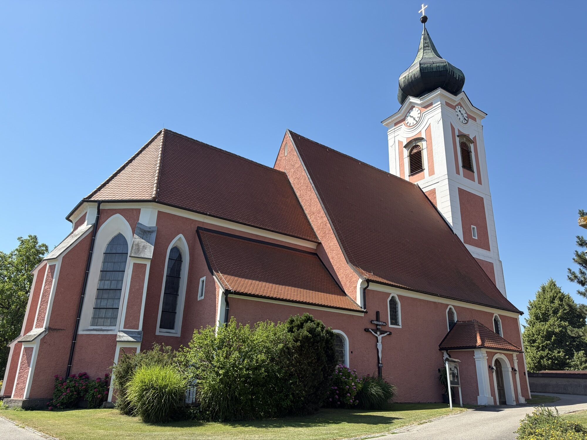
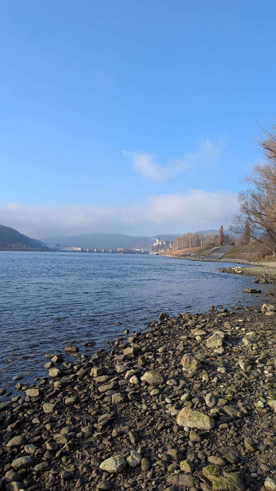
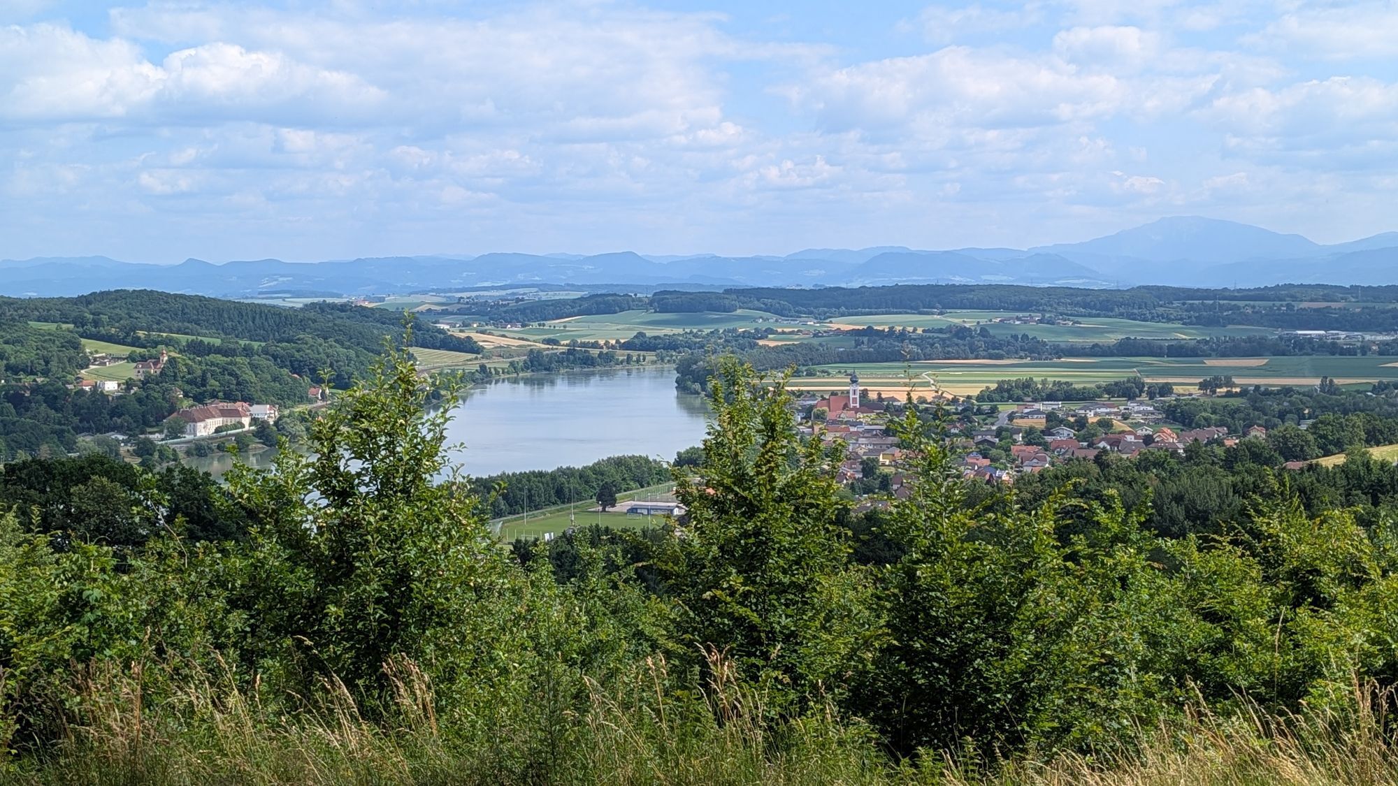
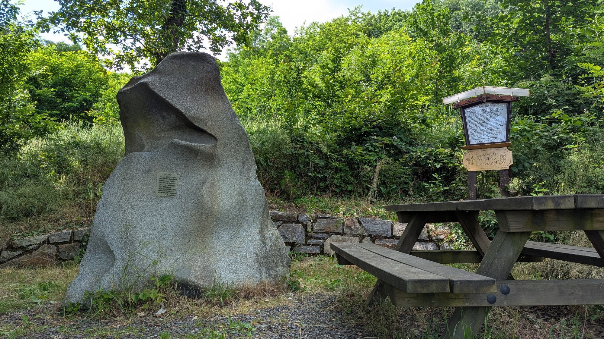
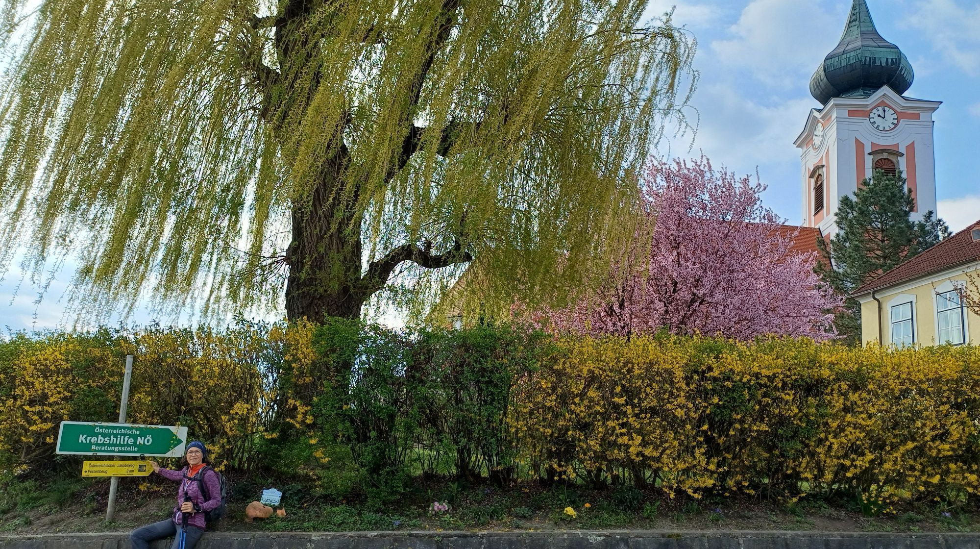
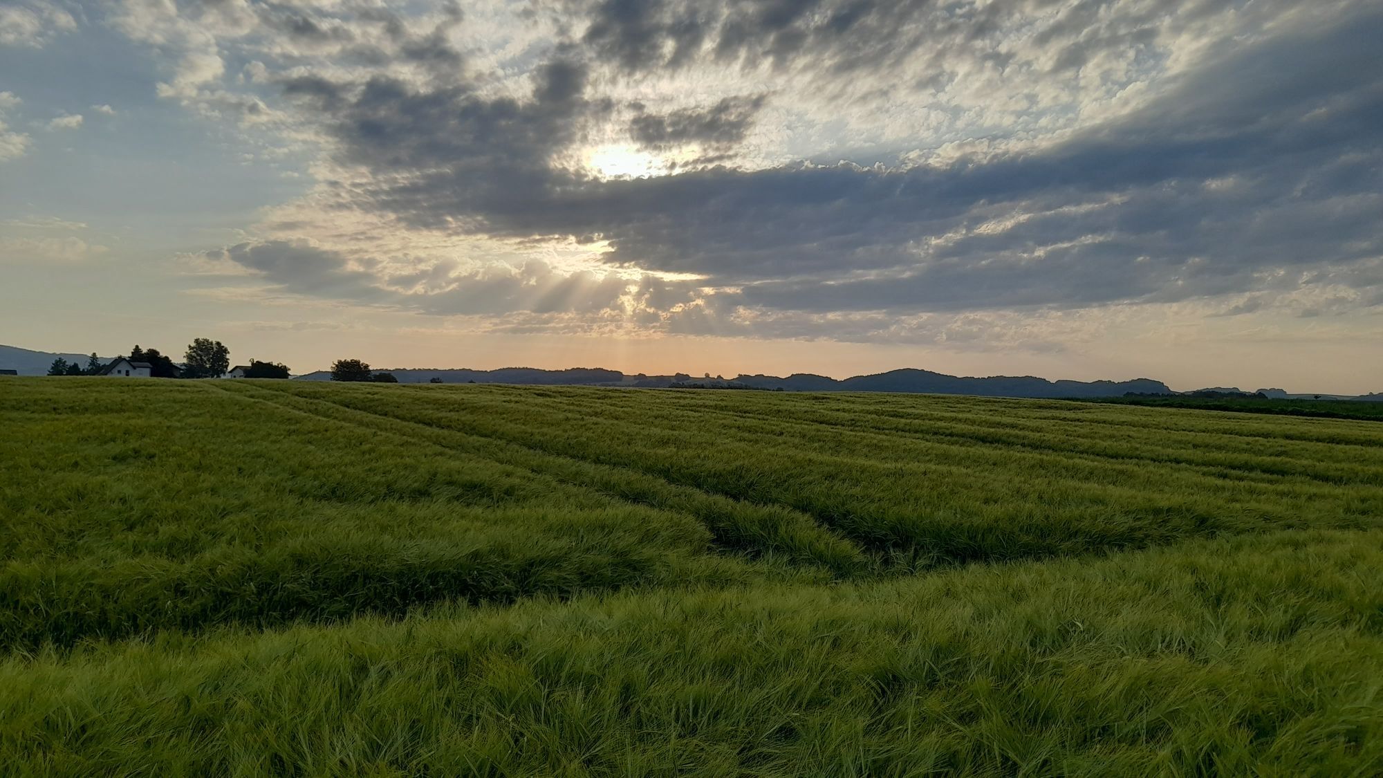
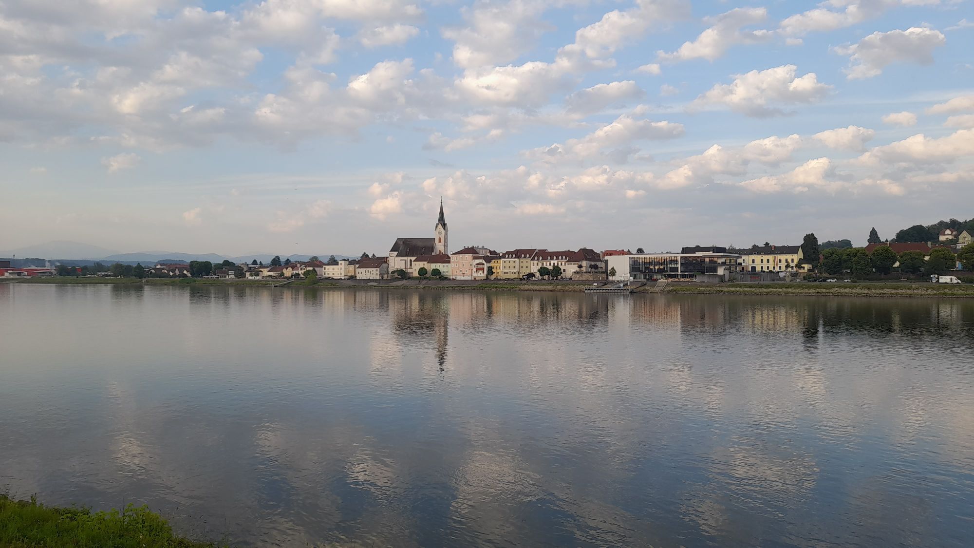
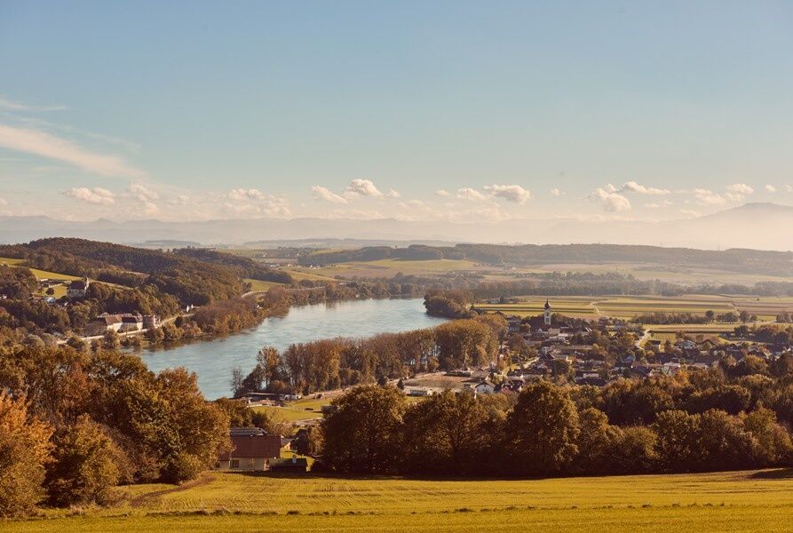
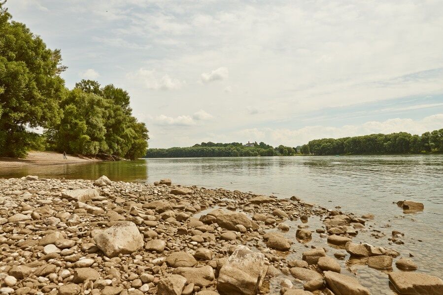

Sponsored by Raiffeisenbank The “Aussichtsplatzrunde” route covers the first 5.60 km on mixed terrain along the Danube through Hagsdorf and Gottsdorf to Metzling. After crossing Federal Highway B3, the trail climbs uphill for about 1.60 km. Passing the Naturfreunde monument, you’ll reach the “Aussichtsplatz,” where you’ll enjoy a magnificent view of the Danube Valley. From here, the route heads downhill through Rottenhof and Kalz, past Persenbeug Castle, along the Danube, and back to the starting point.
We recommend hiking boots, a backpack, a hiking map and/or a mobile route planner, weatherproof clothing (e.g., rain gear), a hat, sunscreen, a first-aid kit, possibly a flashlight, and enough food and drink to keep your energy up (water, snacks).
Please note the following tips and guidelines:
· Stay on the marked trails.
· Wear hiking boots.
· Use hiking poles.
· Rain gear is always advisable.
· Bring a hiking map with you.
· Carry enough drinking water with you.
· Please do not leave your trash behind on the trail.
· Respect the sensitive habitats of flora and fauna.
You undertake the suggested hikes at your own risk and on your own responsibility.
To reach Persenbeug, take the A1 Westautobahn, exit at Ybbs, follow Federal Highway B25 toward Ybbs, drive through Ybbs, cross the Ybbs-Persenbeug bridge over the Danube, and keep right toward Persenbeug.
Coming from Grein or Krems via Wachauerstraße (B3), the road leads directly into the town.
Take the ÖBB train to the Ybbs/Kemmelbach stop ( check the schedule). From the train station, take the Postbus or Ybbs Public Transportation to Persenbeug. You can find more information about the bus schedules here.
Parking is available at Donaulände.
Person responsible for the content of this tour
Wachau-Nibelungengau-Krems Valley ("Krems Valley" in German)
Located at the entrance to the Nibelungengau region, the town is dominated by its landmark, the picturesque Persenbeug Castle (birthplace of the last emperor, Charles I). Many old townhouses with beautiful facades characterize the town’s appearance. Also worth seeing is the Ybbs-Persenbeug Danube Power Plant (register for a tour at the municipal office). Recreational activities range from cycling along the Danube cycle path or taking specialized mountain biking courses to hiking, running, Nordic walking, and horseback riding, as well as a swimming pond with a beach volleyball court. Local restaurants treat guests to culinary delights from regional and national cuisines, along with fine wines from the nearby Wachau region.
For more information about the municipality, visit http://www.persenbeug-gottsdorf.gv.at.
For easy and convenient trip planning, we recommend the Wachau-Nibelungengau-Krems Valley ("Kremstal" in German) app. Simply download it for Android or iPhone. You can obtain the Nibelungengau hiking map from Donau Niederösterreich Tourismus GmbH or the Nibelungengau municipalities.
Sights in the Nibelungengau:
Ybbs-Persenbeug Danube Power Plant, Erlauf Peace Museum, Oskar Kokoschka Center in Pöchlarn, Leiben European Castle, Artstetten Castle, Maria Taferl Basilica
Events in the Nibelungengau region and surrounding areas can be found here.
Event highlight in the Nibelungengau: Combine your hiking vacation with the summer solstice celebration “Fire Magic in the Nibelungengau” in June. One experience—two options: Celebrate on the banks of the Danube in one of the Nibelungengau communities or aboard a boat. For more information, visit www.sonnenwende.at.
You can find route descriptions, including GPS tracks available for download, at www.nibelungengau.at.
Získajte prehľad
Vždy naživo na mieste s viac ako 9 500 webovými kamerami. bergfex Ako používateľ Pro si teraz môžete pozrieť príslušné webové kamery pre mnohé zájazdy v aplikácii zájazdy z. Môžete si tak priamo prezerať aktuálne podmienky.
Obľúbené výlety v okolí
-
4,6
Waldhausen: Outlook circuit
strednáTuristika 14,0 km -
4,6
Ausgedehnte Peilsteinrunde
strednáTuristika 13,7 km -
4,5
Durch die Steinwandklamm von Maria Taferl aus
svetloTuristika 8,26 km -
4,5
Purgstall Route 3 entlang der Erlauf und Umgebung
svetloTuristika 11,6 km -
4,8
Erlaufschlucht
svetloCanyoning 4,58 km -
4,8
Herzsteinweg Ysper und Burgsteinmauer
strednáTuristika 14,7 km -
4,9
LAIMBACH Ostrong Peilstein 20220716
strednáTuristika 7,70 km -
5,0
Castle stone wall 975m - Variant a
strednáTuristika 5,26 km -
4,4
R1.15 Three Saddle Round
strednáCyklistika 26,2 km -
4,7
Kaiser-Strecke
Mountainbike 29,0 km
Turistika a stopovanie


Nenechajte si ujsť ponuky a inšpiráciu na ďalšiu dovolenku
Vaša e-mailová adresa bol pridaný do poštového zoznamu.





