






Kaiserhöhlenweg
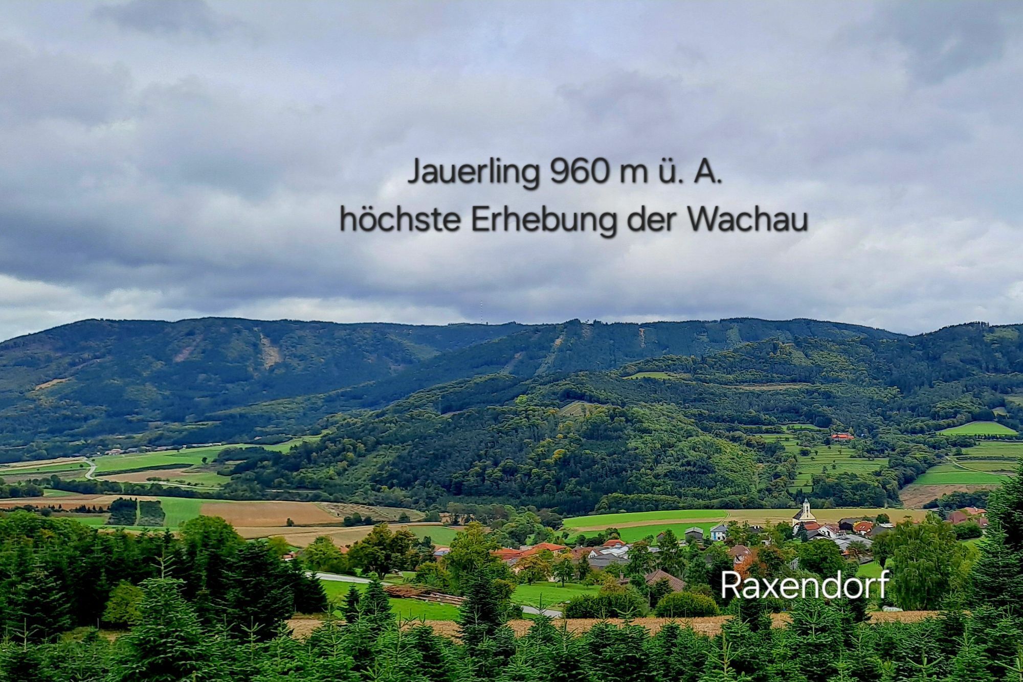
From the starting point, the trail leads to the Raxendorf water reservoir, here is the 1st stop, which offers a view of the Dead Man. Continue to Afterbach, where the 2nd stop is the Duke's hiding place....
From the starting point, the trail leads to the Raxendorf water reservoir, here is the 1st stop, which offers a view of the Dead Man. Continue to Afterbach, where the 2nd stop is the Duke's hiding place. An information point at the village community center tells the legend of the "Duke in the Dung Pile". From there, head northwest to a wayside shrine at 810 m above sea level (Bildföhre). From there, the hike leads down to the "Kaiserwand". There you will find the "Kaiserhöhle" cave facing NW, a small cave at 795 m above sea level. This is the 3rd stop and the destination of the hike. After visiting the Kaiserhöhle and enjoying the beautiful view, we walk back along forest paths towards Raxendorf and arrive at Kreuzriedel. There you will find information about the region of the free farmers and their rights. The tour also meets up here with the regional circular trail/the ECHTdeckungsroute, the No. 22 Ysper circular hiking trail, and leads identically with it back to the village and ends at the church square and concludes here with the 5th station.

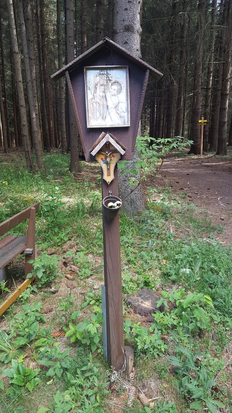
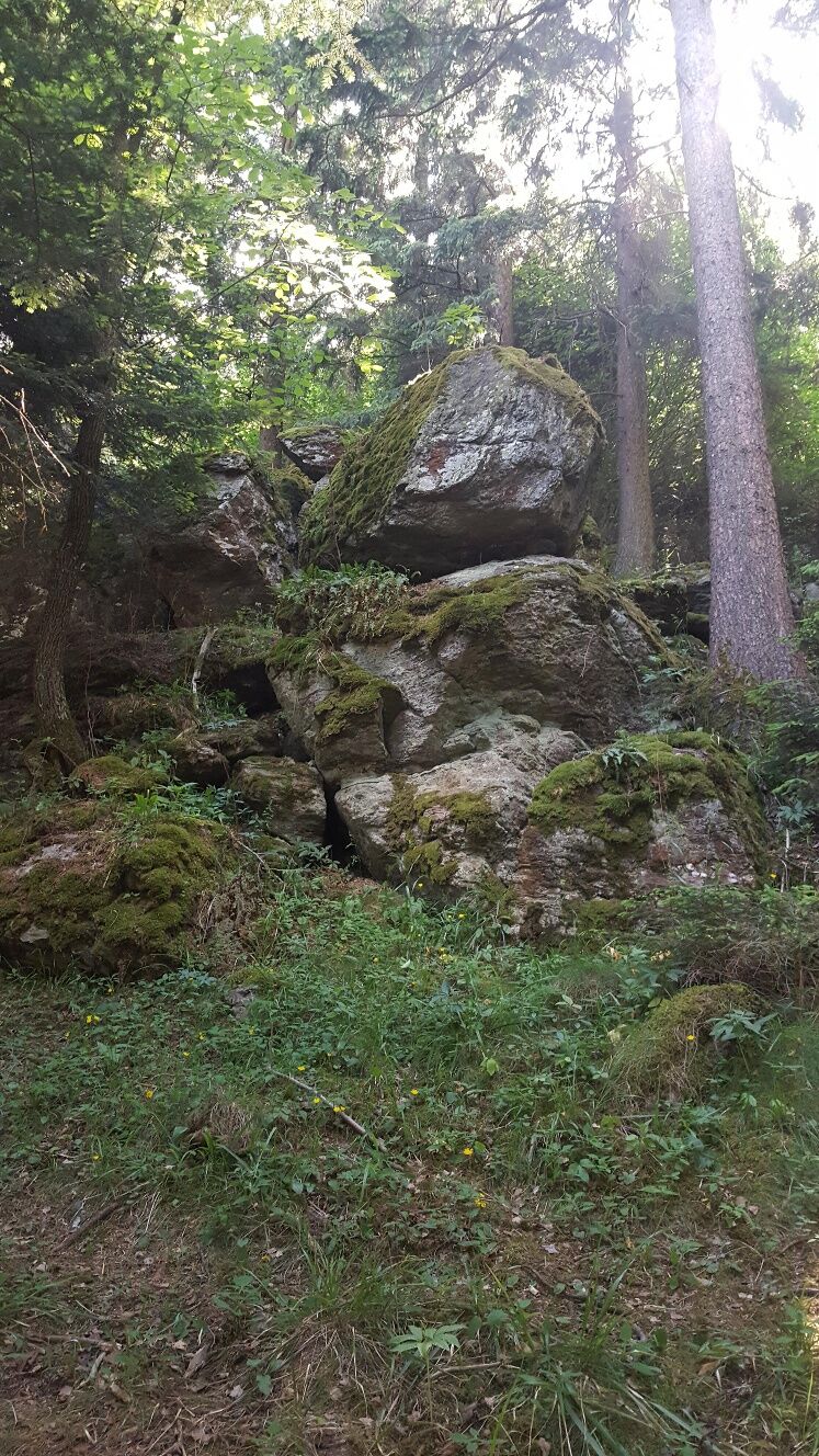
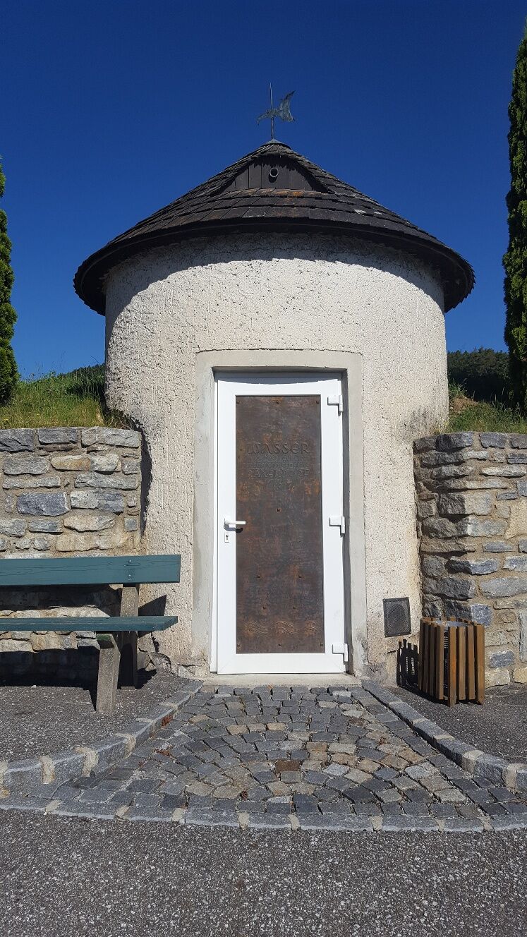
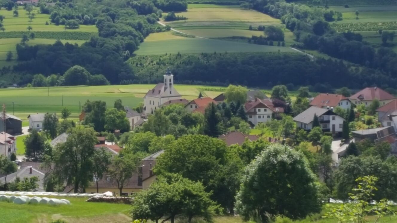

From the starting point, the path leads to the Raxendorf water reservoir, which is the 1st station, offering a view of the Toten Mann. Further to Afterbach, here is the 2nd station, the Duke's hiding place. An info point at the community house shows the legend of the "Duke in the manure cart." From there, heading northwest to a wayside shrine at 810 m above sea level (Bildföhre). From there, the hike leads down to the "Kaiserwand." There is the "Kaiser Cave" facing northwest, a small cave at an altitude of 795 m. This is the 3rd station and the end of the hike. After visiting the Kaiser Cave and enjoying the beautiful view, we return via forest paths back towards Raxendorf and reach Kreuzriedel. There, information is provided about the region of the Free Farmers and their rights. The route also joins here with the regional circular path/ the ECHTdeckung route, no. 22 Ysper Circular Hiking Trail, and follows the same path back to the village, ending at the church square and concluding with the 5th station.
Hiking boots, rainproof clothing, drinking water, as well as the Wachau hiking map and the annual program of the nature park "Natur.Wein.Wandern." including the Heurigen calendar, available from Donau Niederösterreich Tourismus, www.wachau.at
A1 to the Melk exit, then via B3 and B216 to Weiten or continuing to Raxendorf
The places are accessible seven days a week by public transport. Returning to the starting point of the hike is possible.
On weekdays or working days, the Waldviertel lines run between Weiten and Raxendorf: www.vvnb.at On weekends and public holidays, the on-call bus Jauerling (WL 7) runs. This follows a fixed route and must be reserved by phone up to 60 minutes before departure (www.naturpark-jauerling.at).
In the center of Weiten or at the municipal office near the marketplace in Raxendorf
Person responsible for the content of this tour
Wachau-Nibelungengau-Kremstal
Last update: 13.10.2025
Near Raxendorf, in Braunegg, there is an accessible viewpoint platform.
Získajte prehľad
Vždy naživo na mieste s viac ako 9 500 webovými kamerami. bergfex Ako používateľ Pro si teraz môžete pozrieť príslušné webové kamery pre mnohé zájazdy v aplikácii zájazdy z. Môžete si tak priamo prezerať aktuálne podmienky.
Obľúbené výlety v okolí
-
4,4
Welterbesteig Wachau 03: Weißenkirchen-Spitz
svetlodiaľková pešia trasa 10,4 km -
4,5
Ausgedehnte Peilsteinrunde
strednáTuristika 13,7 km -
4,5
Maria Langegg - Rote Wand - Hoher Stein - Kastlkreuz
strednáTuristika 11,4 km -
4,5
Seekopf und Hirschwand
strednáTuristika 2,83 km -
4,9
LAIMBACH Ostrong Peilstein 20220716
strednáTuristika 7,70 km -
3,9
Spitz a. d. Donau Jauerling Schwallenbach retour 16.04.2016
strednáTuristika 20 km -
3,9
Spitz - Buchberg - Runde
strednáTuristika 9,60 km -
4,5
Welterbesteig Wachau 08: Emmersdorf-Melk
svetlodiaľková pešia trasa 9,90 km -
4,5
AGGSTEIN Ruine, Aggstein, Druidentürme und zurück 20241019
strednáTuristika 7,50 km -
4,0
Rote Wand und Hoher Stein
strednáTuristika 7,80 km
Turistika a stopovanie


Nenechajte si ujsť ponuky a inšpiráciu na ďalšiu dovolenku
Vaša e-mailová adresa bol pridaný do poštového zoznamu.





