






Weichtalklamm und Stadelwandgraben
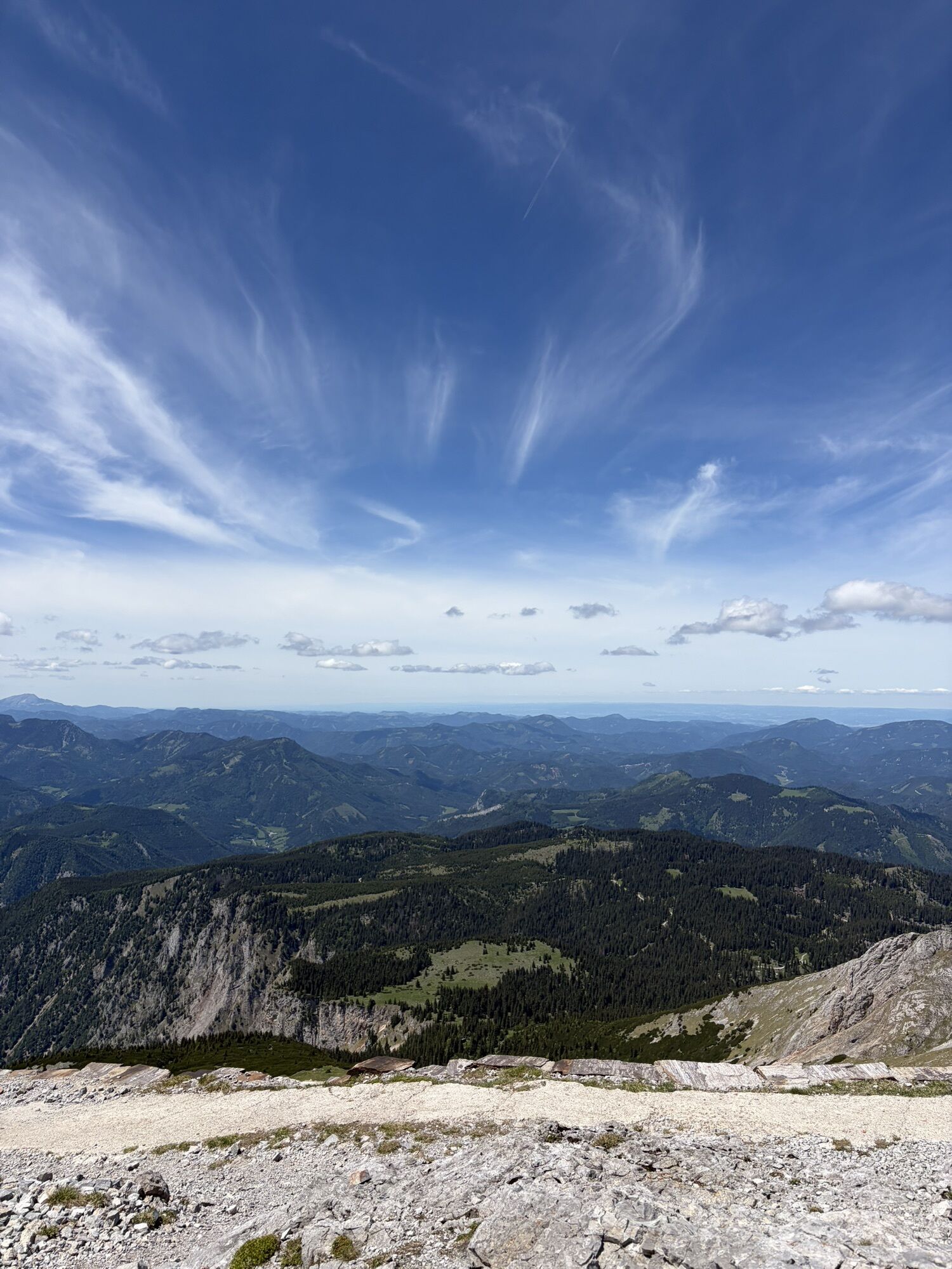
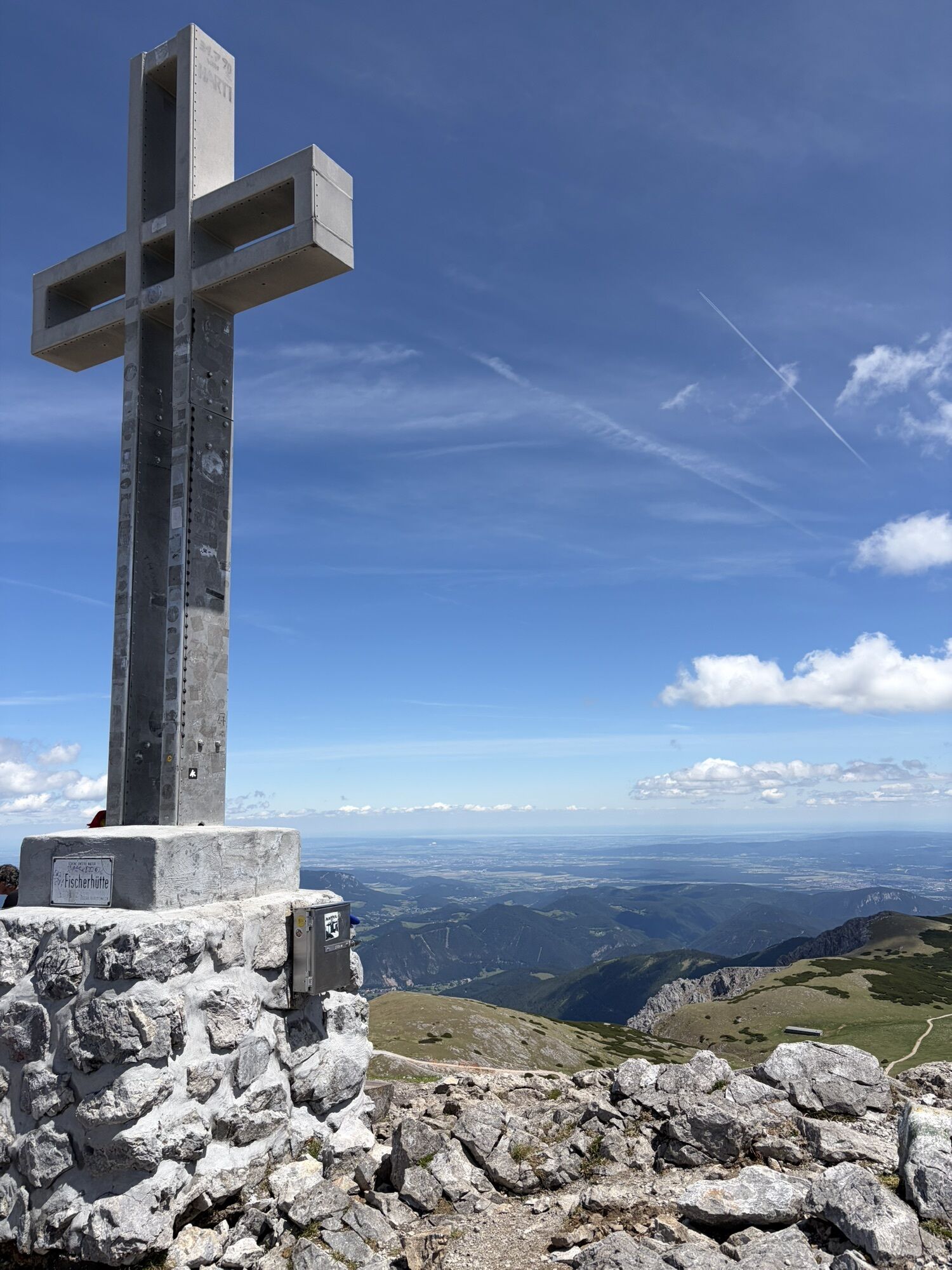
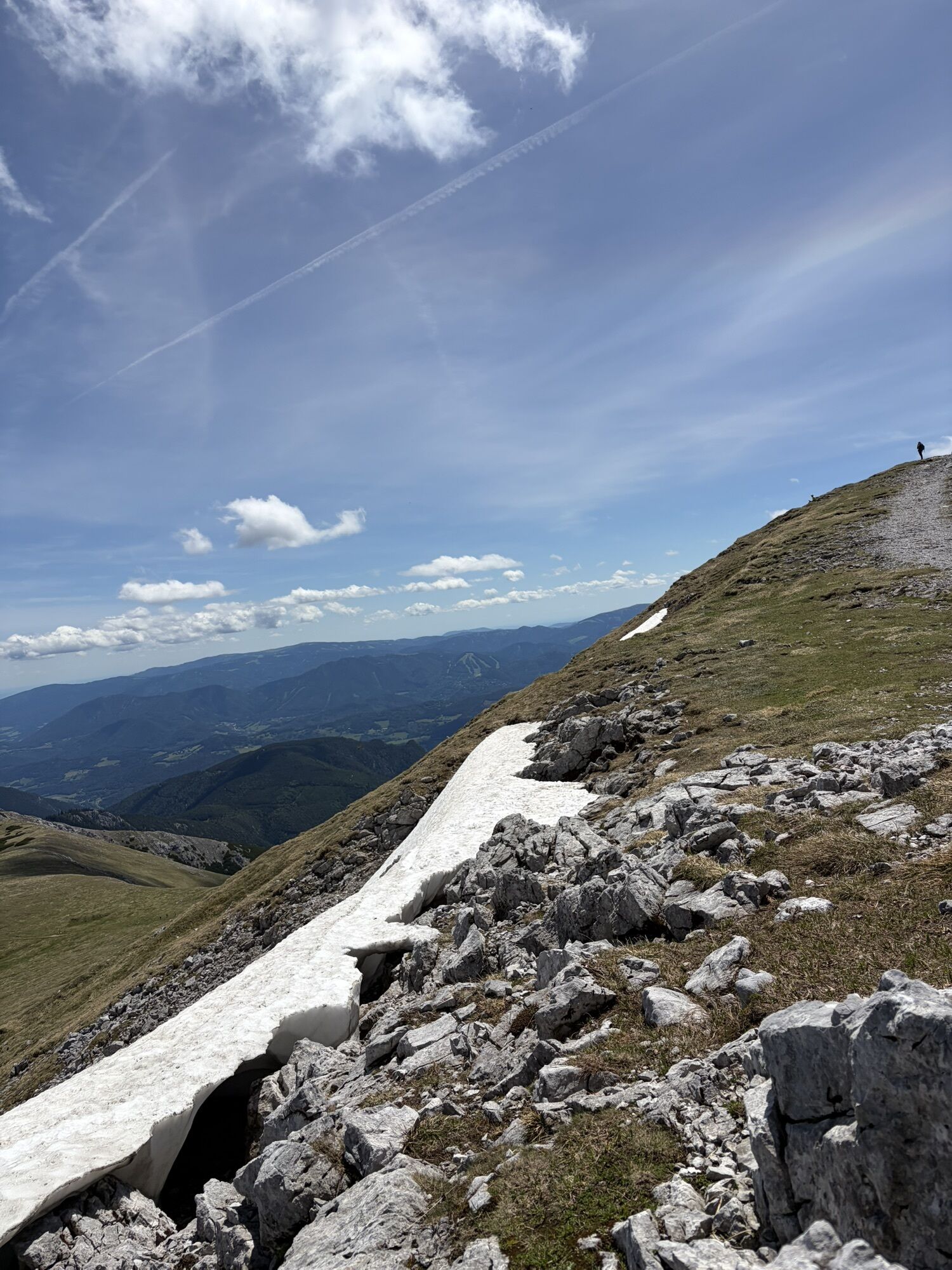
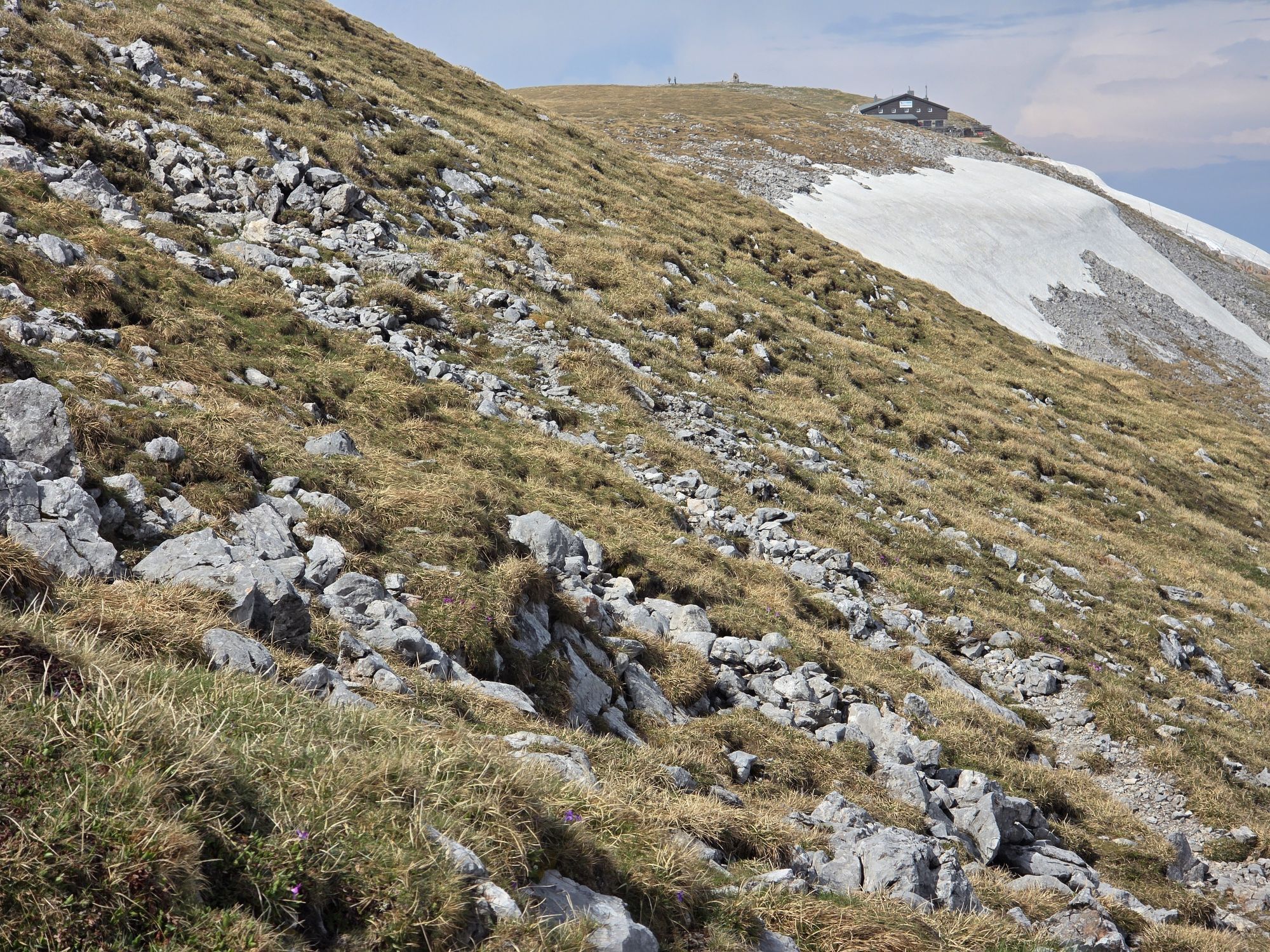
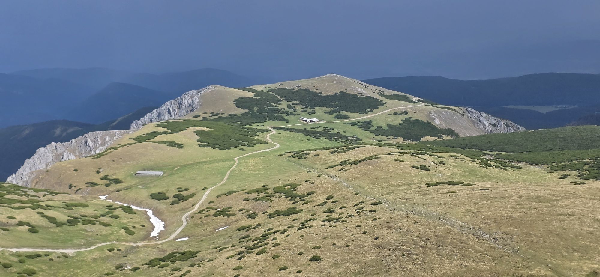
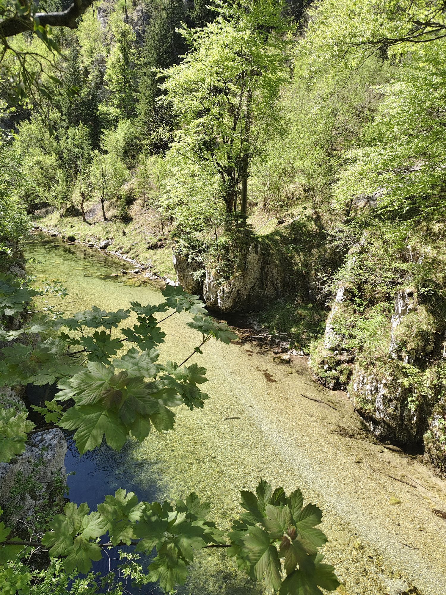
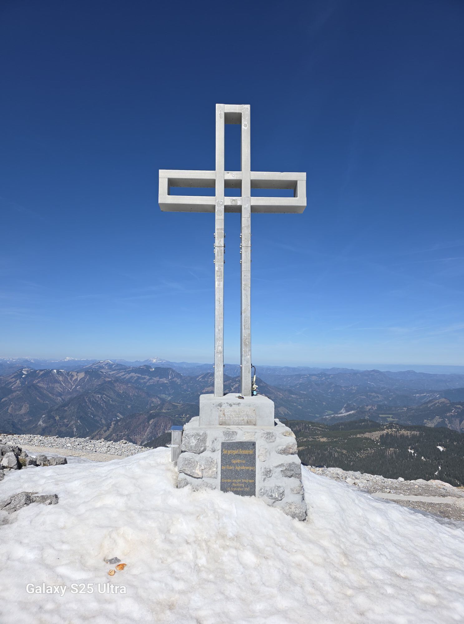
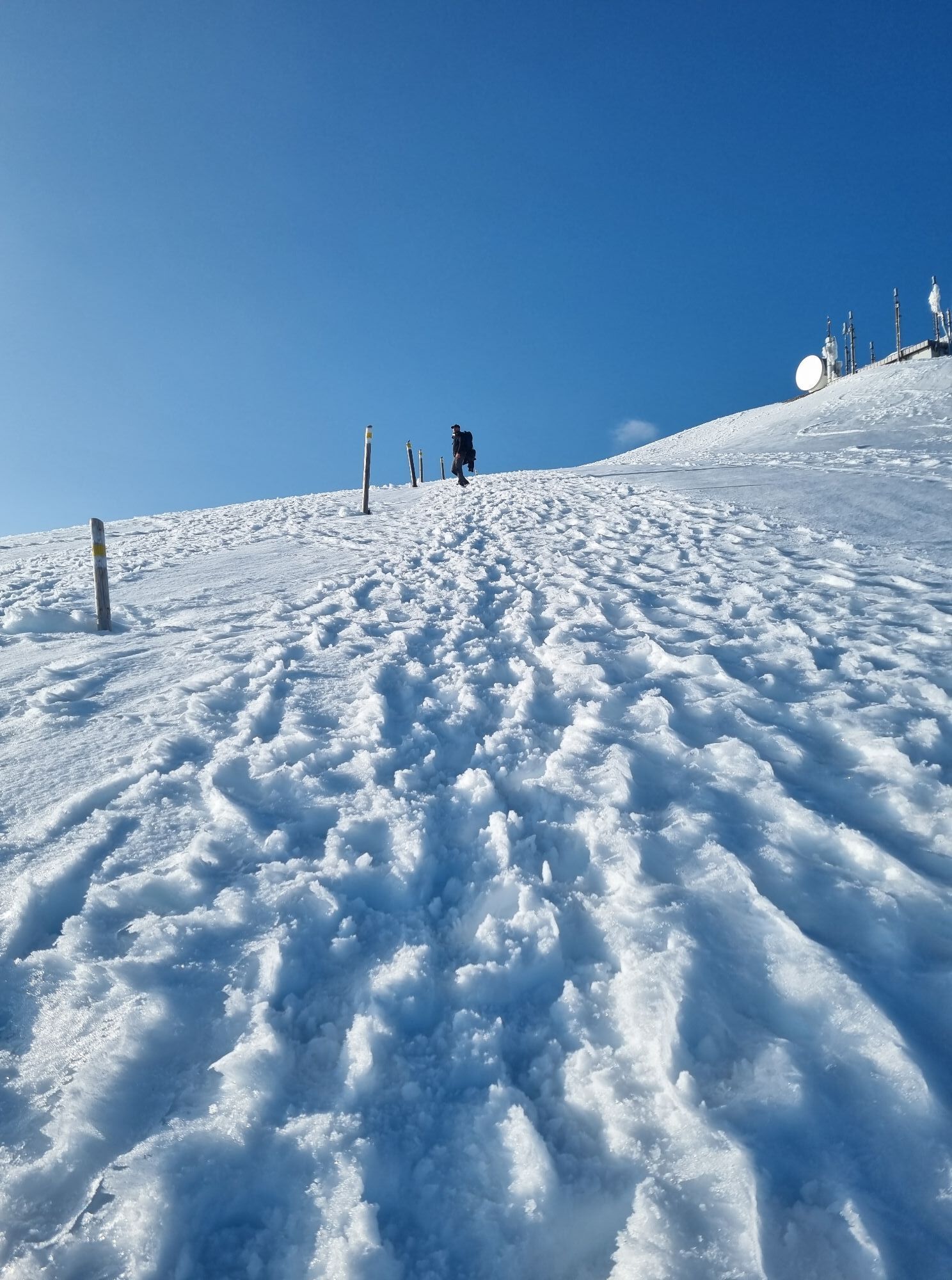
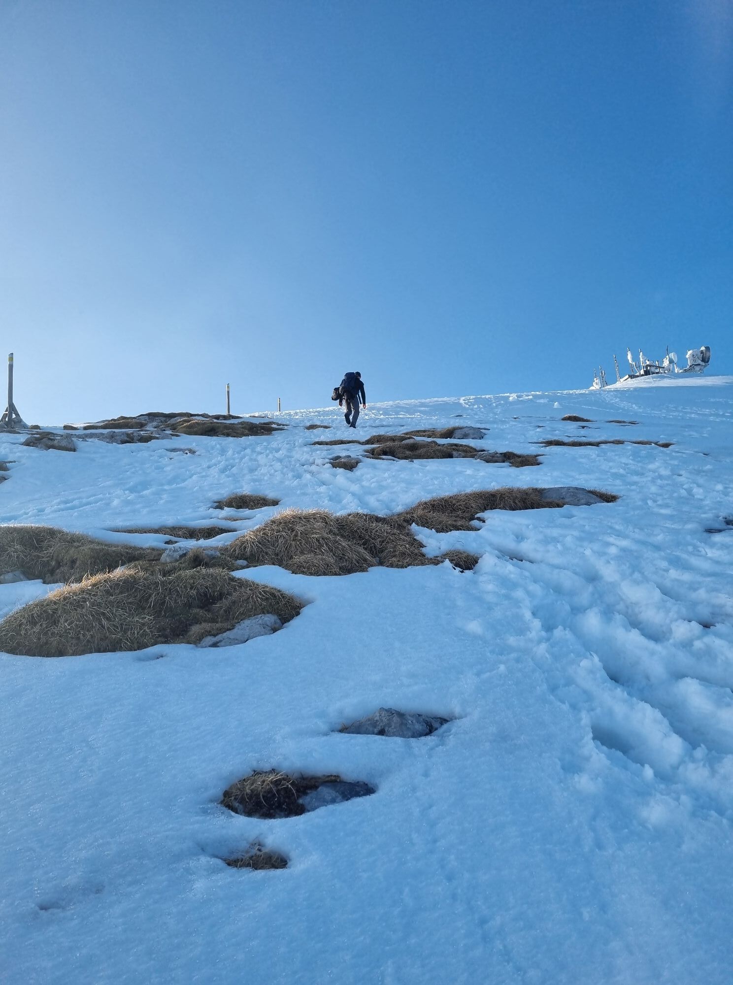
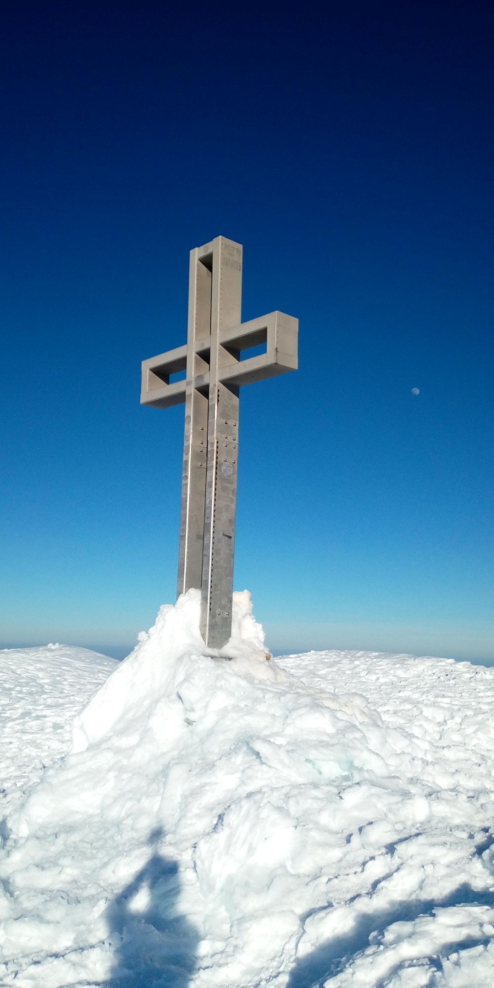
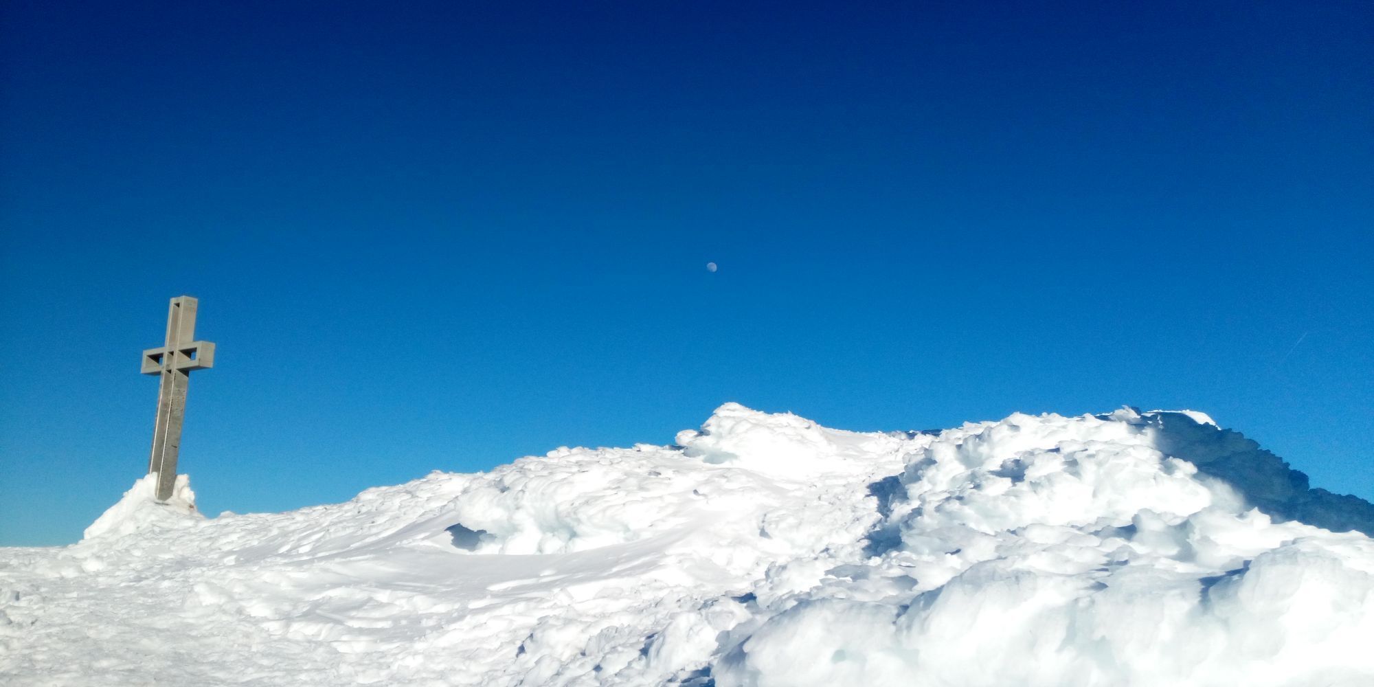
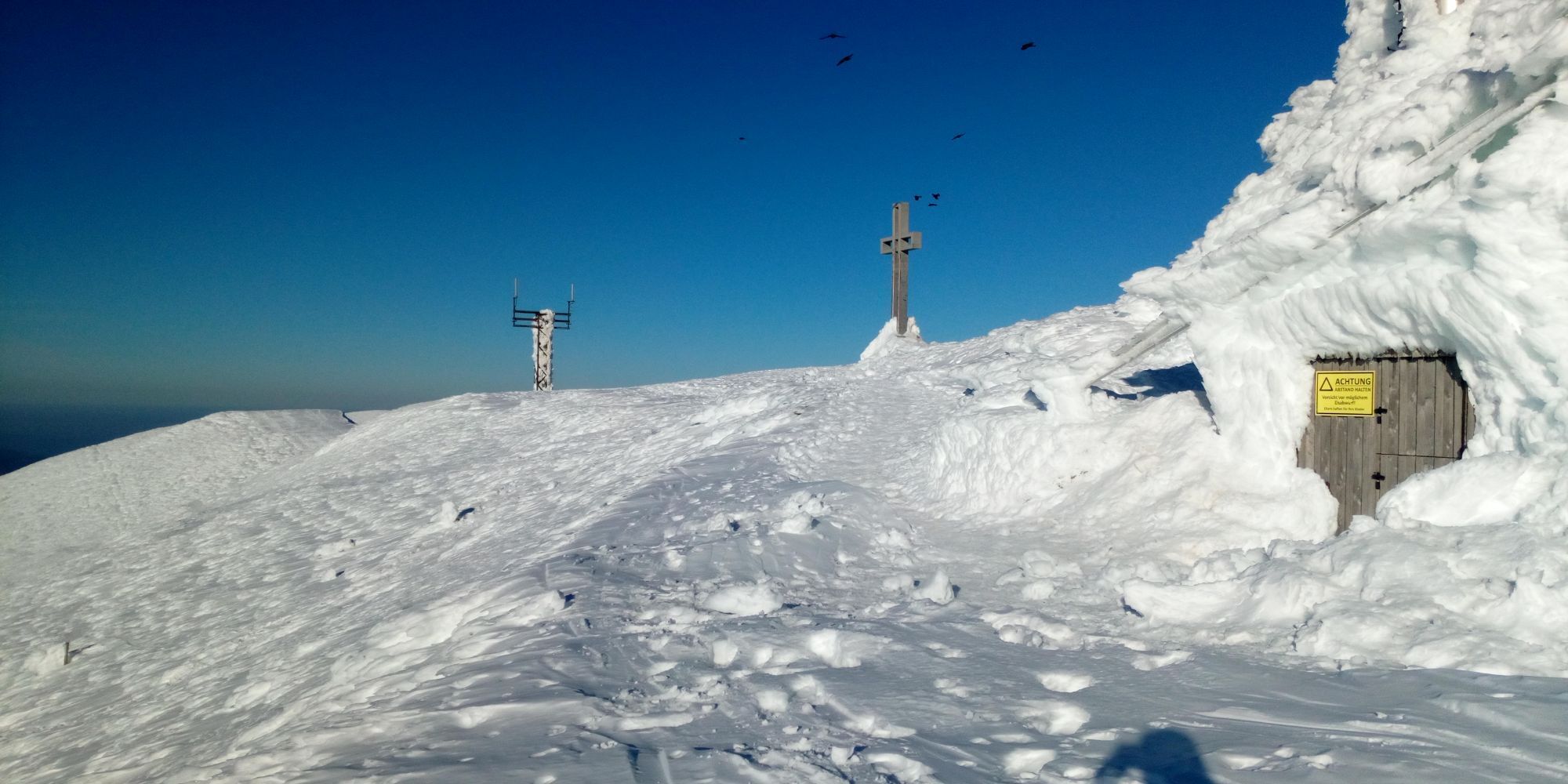
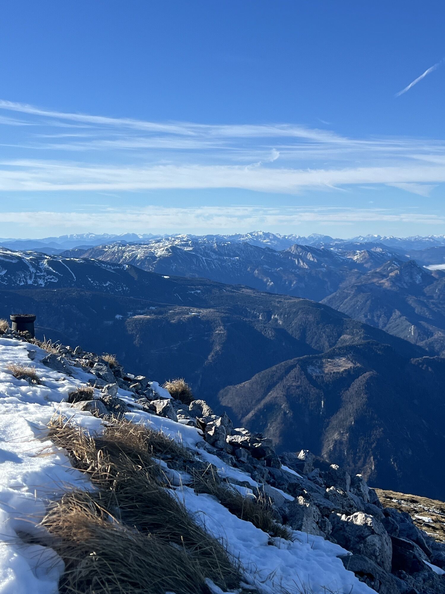
Vom Weichtalhaus im Höllental beginnt der Weg über die landschaftlich eindrucksvolle Weichtalklamm. Nach Regenfällen oder der Schneeschmelze kann dort noch einiges an Wasser sein. Daher ist gutes Schuhwerk...
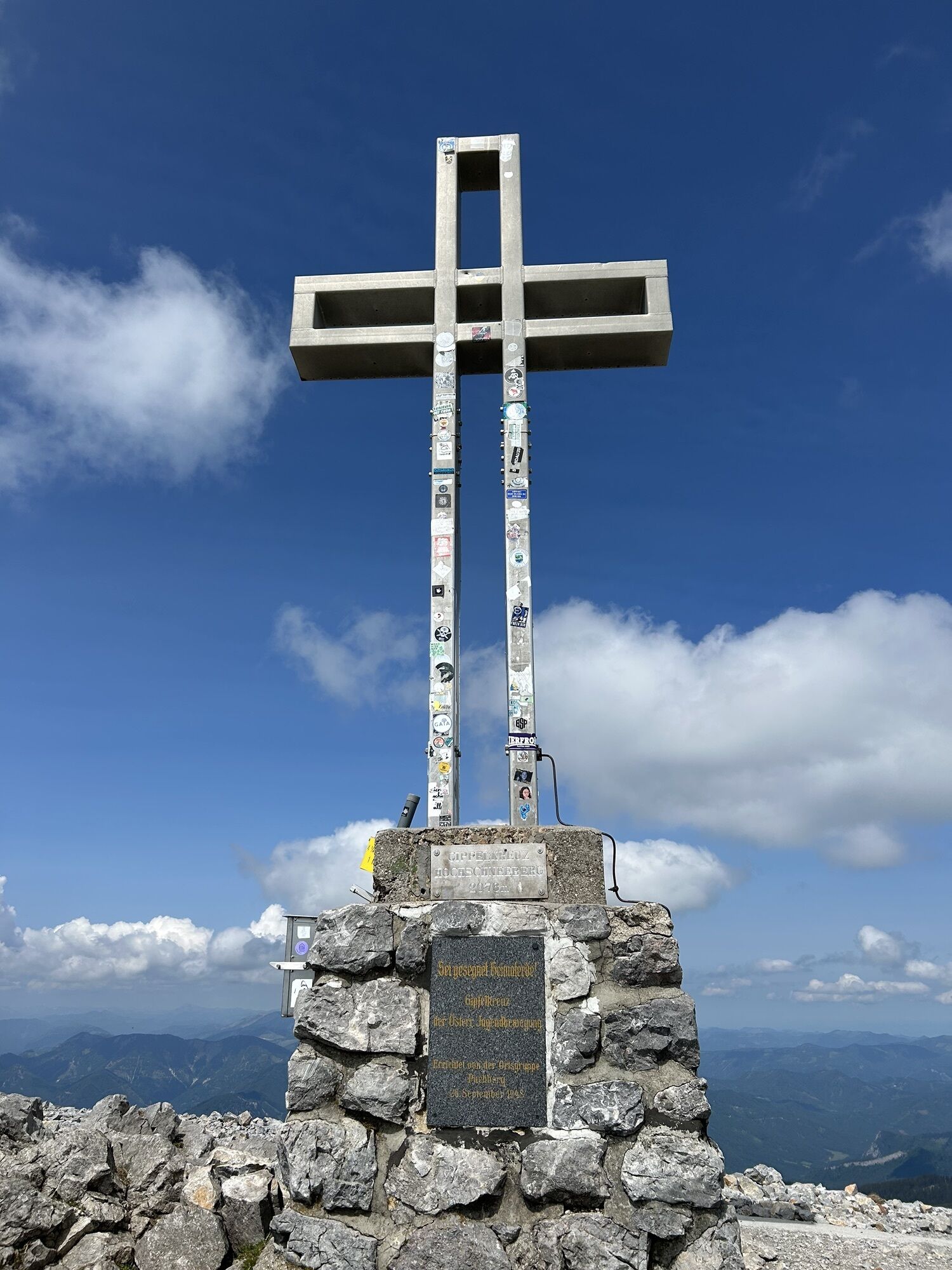
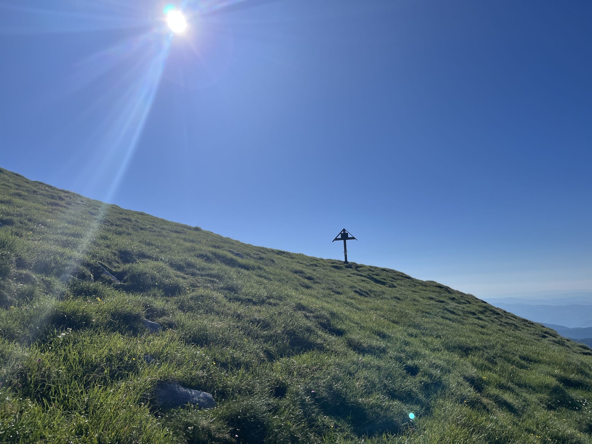
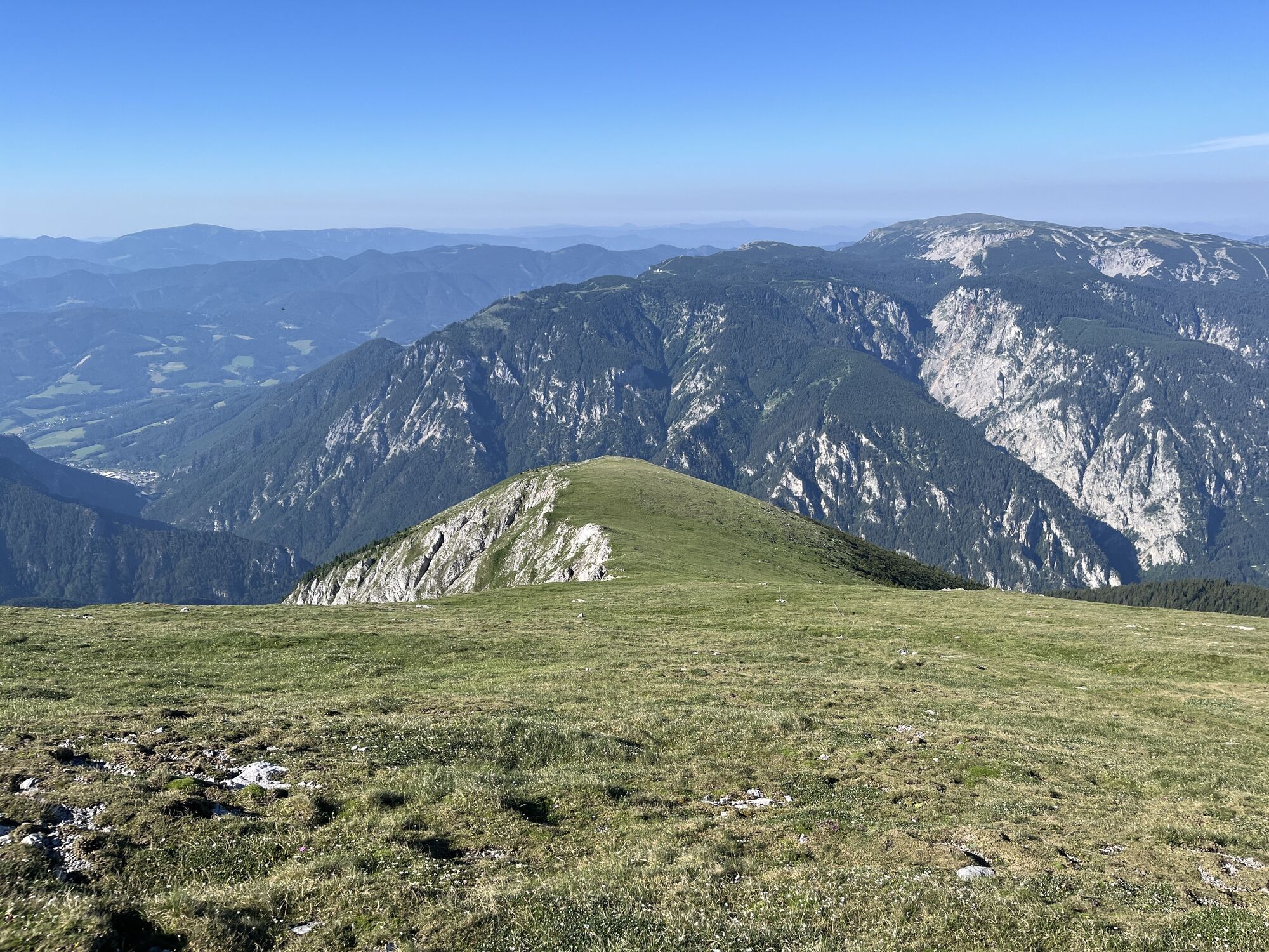
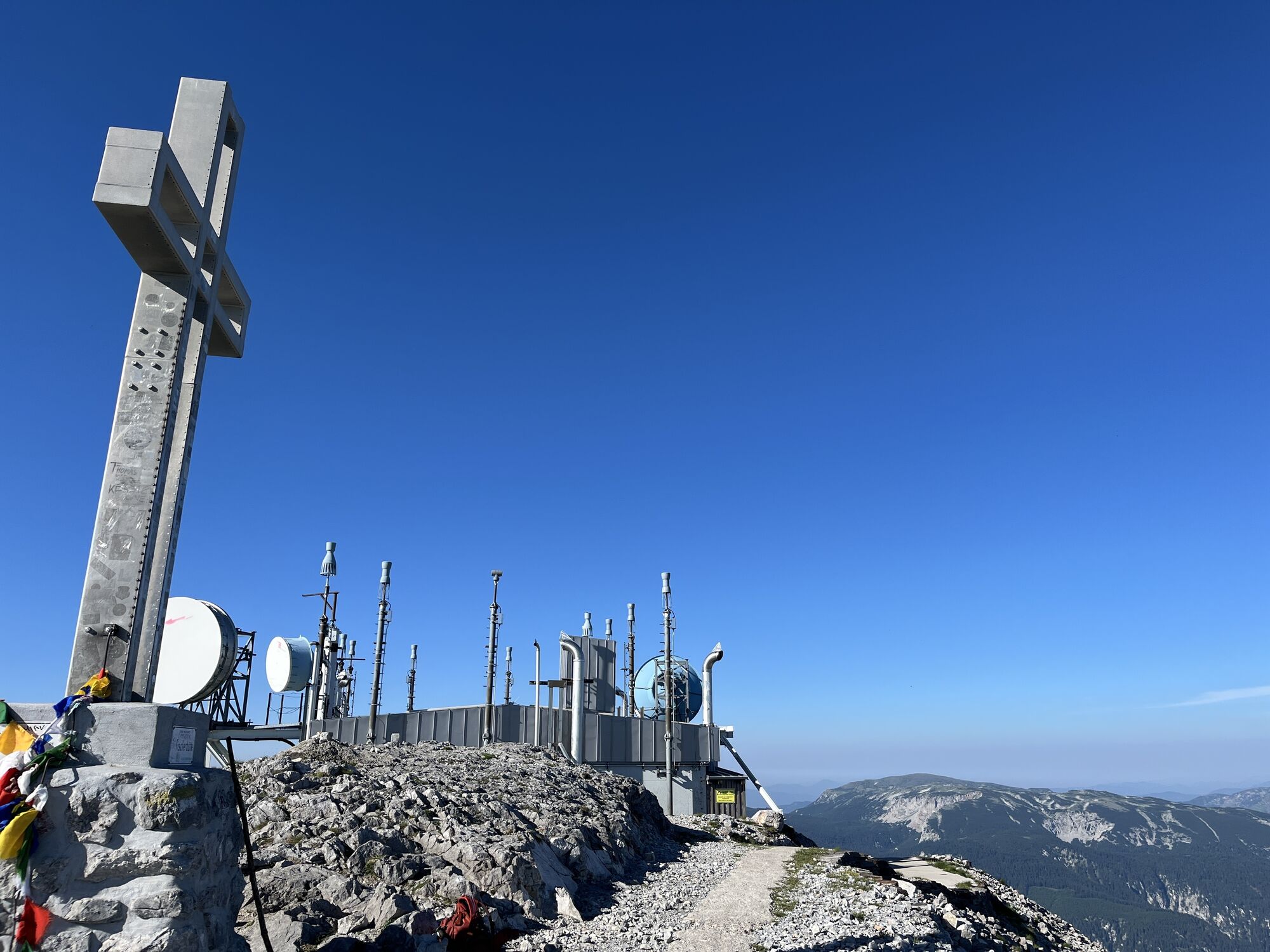
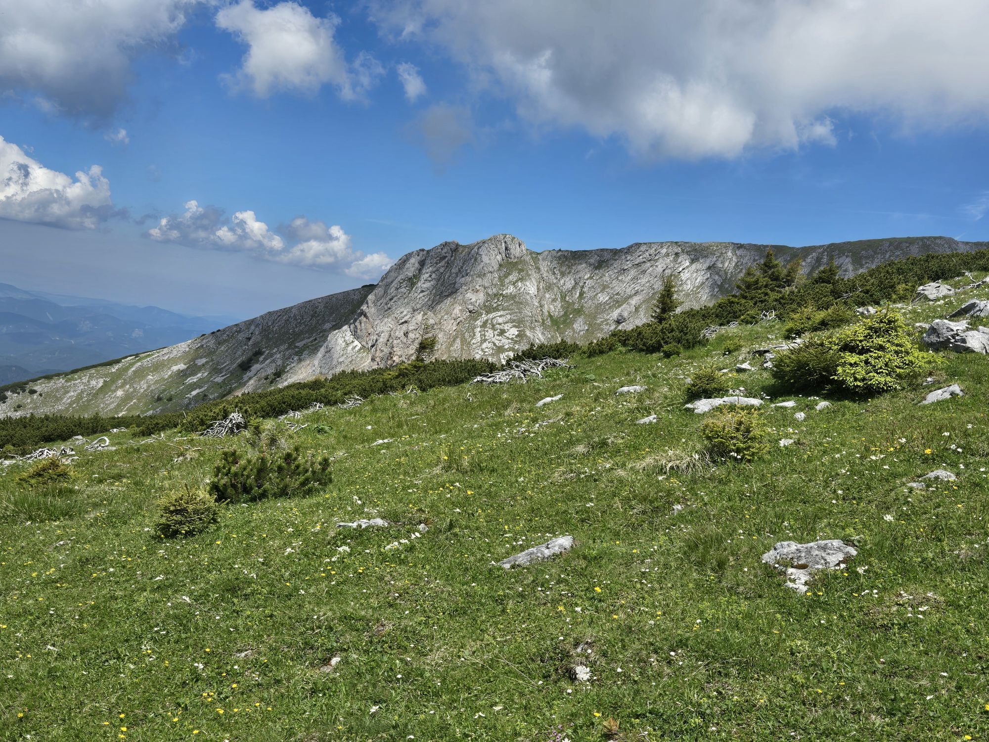
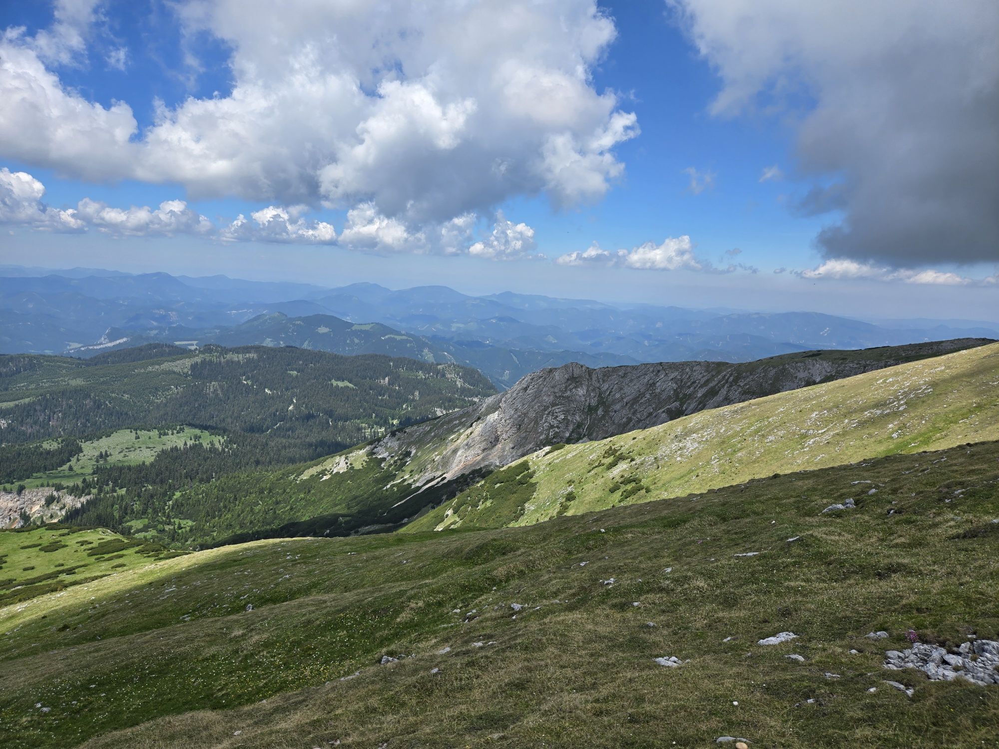
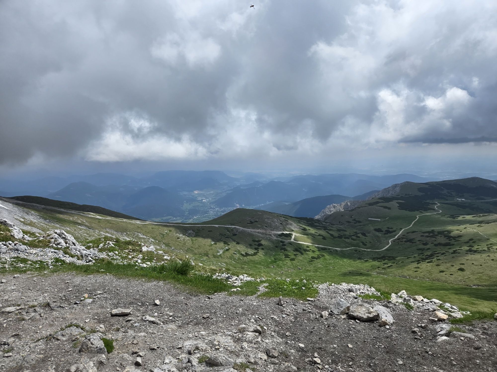
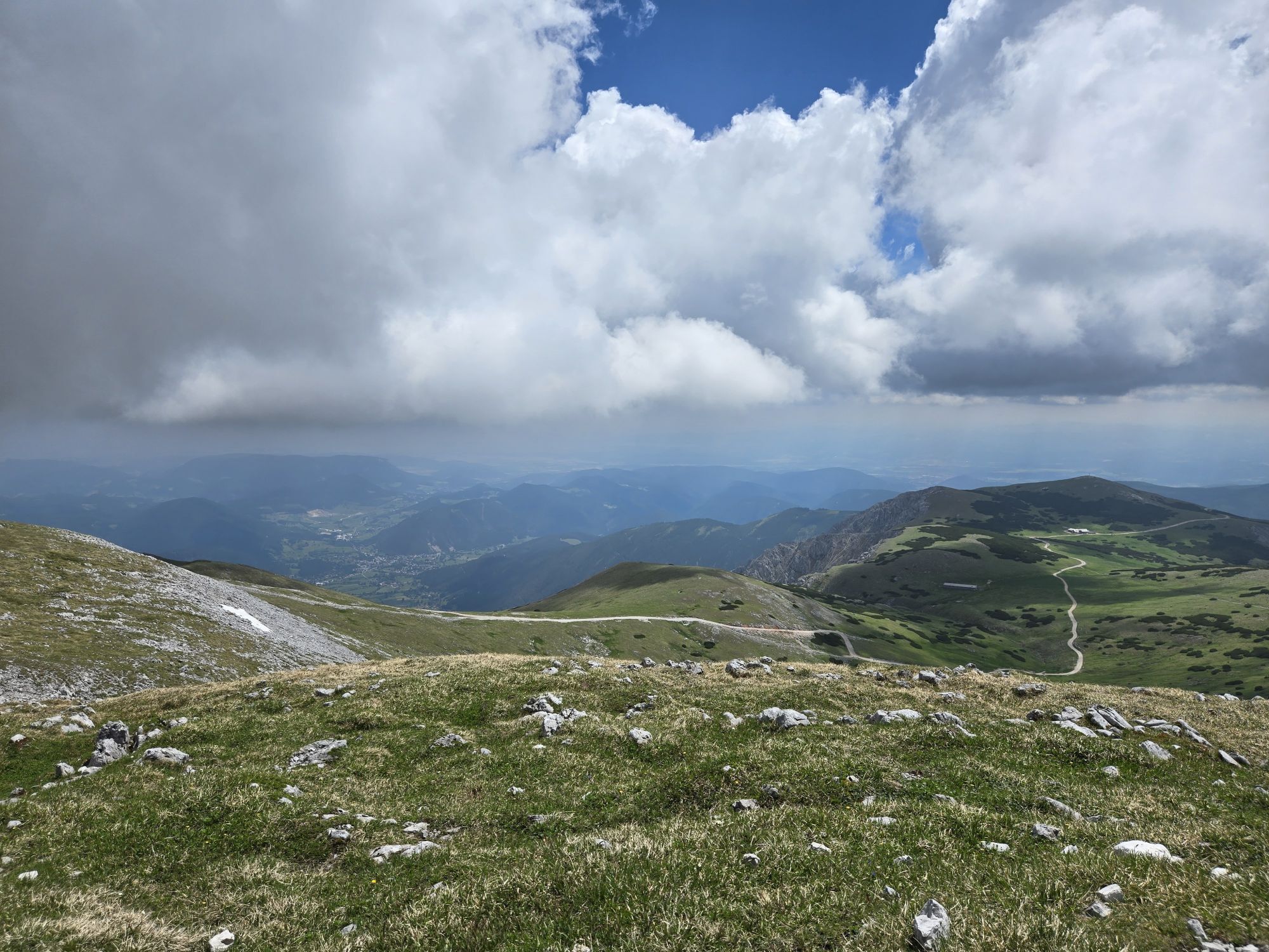
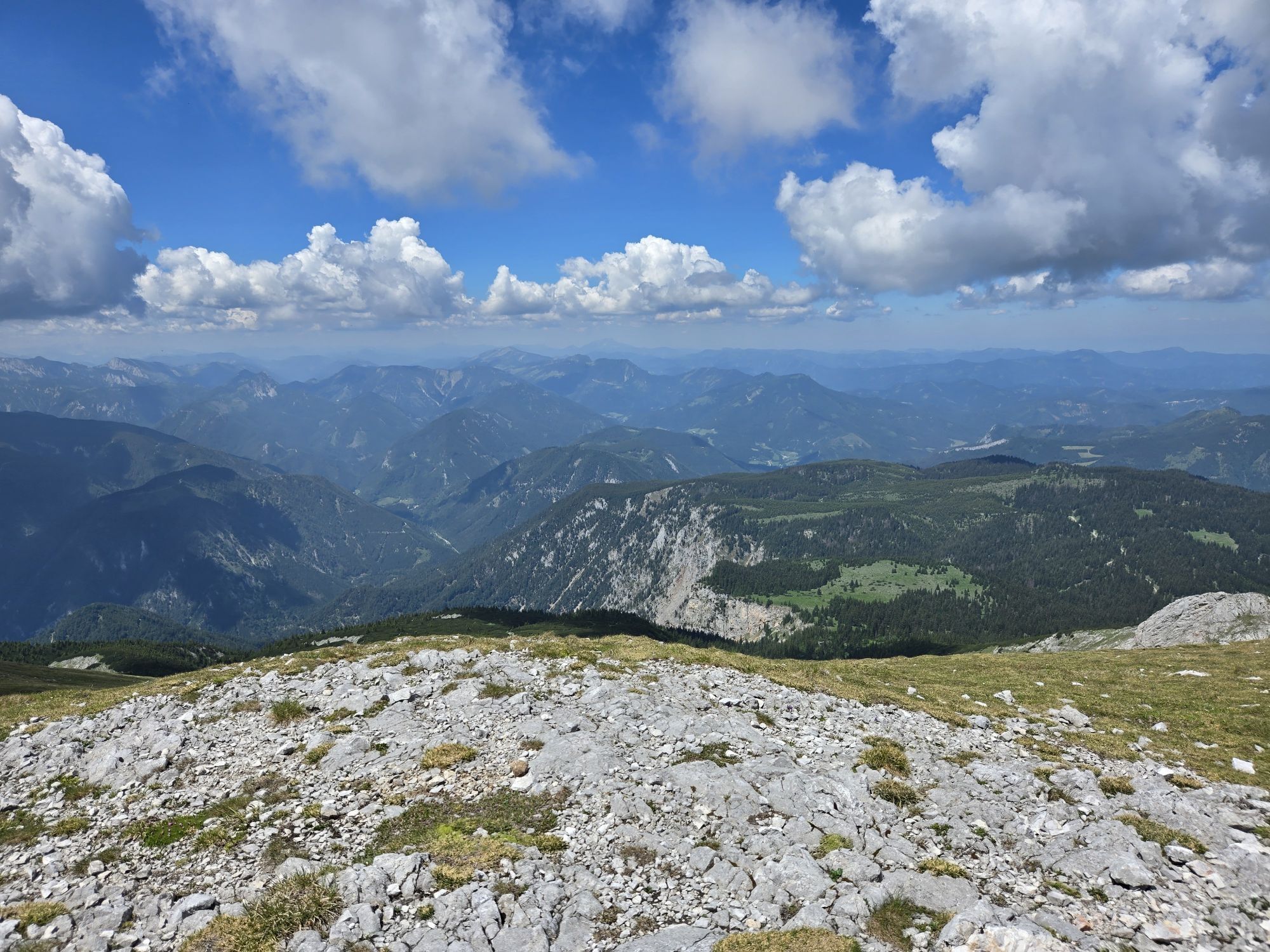
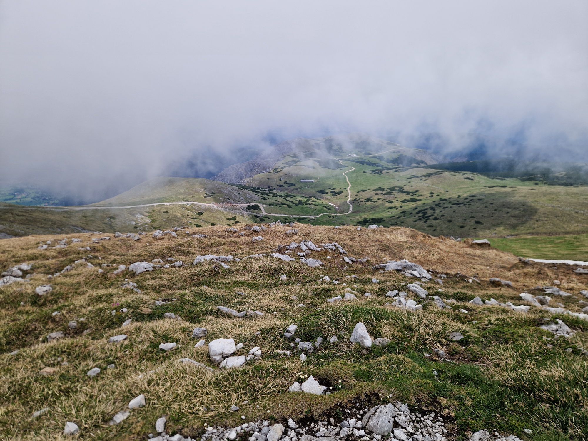
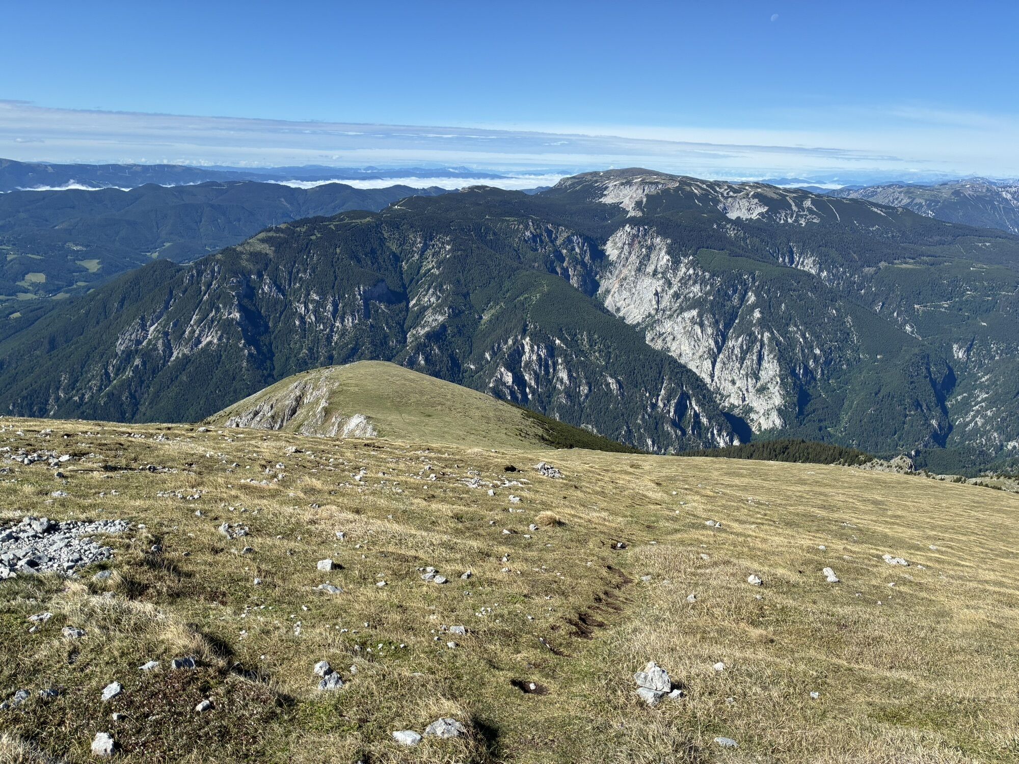
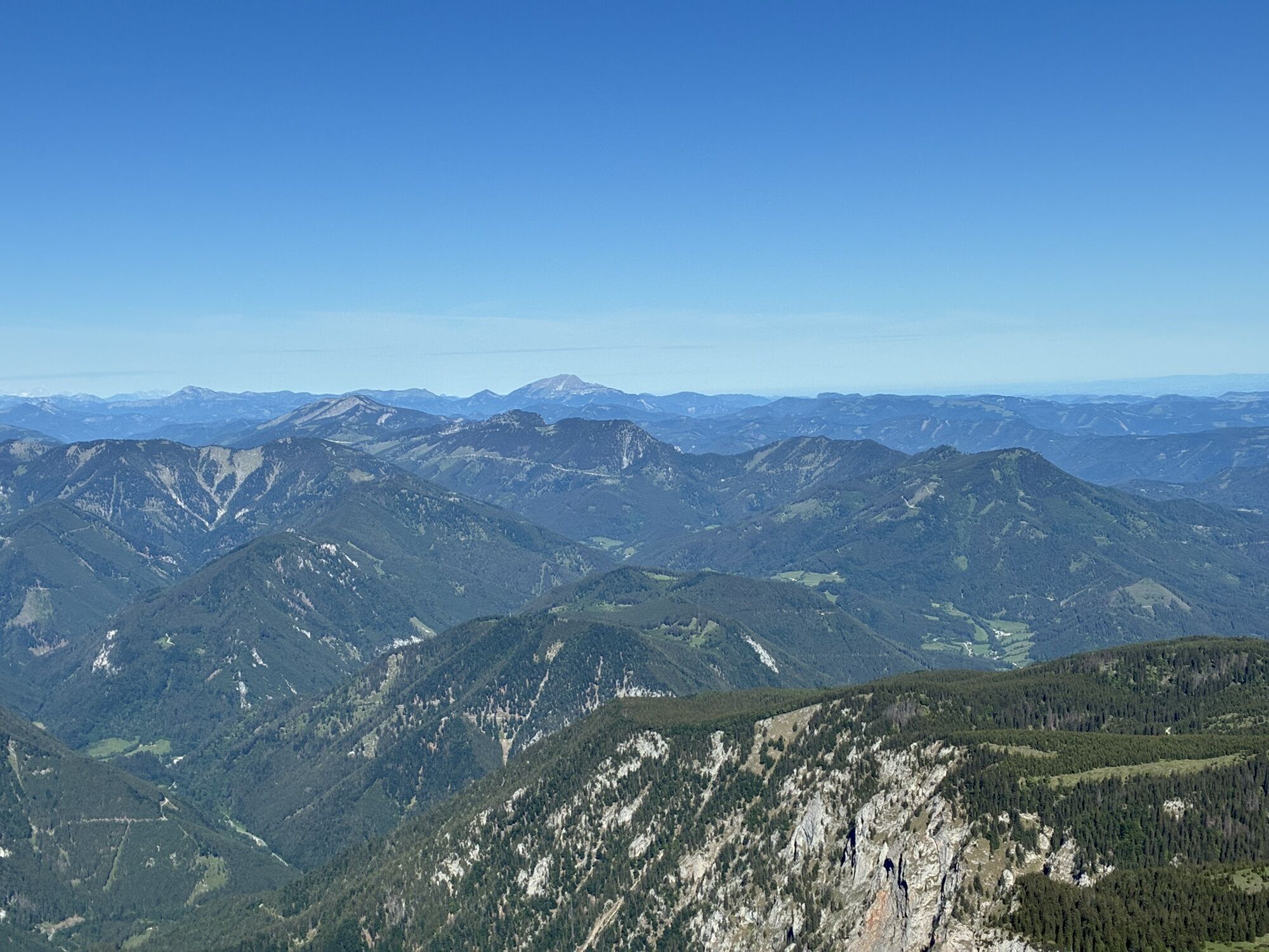
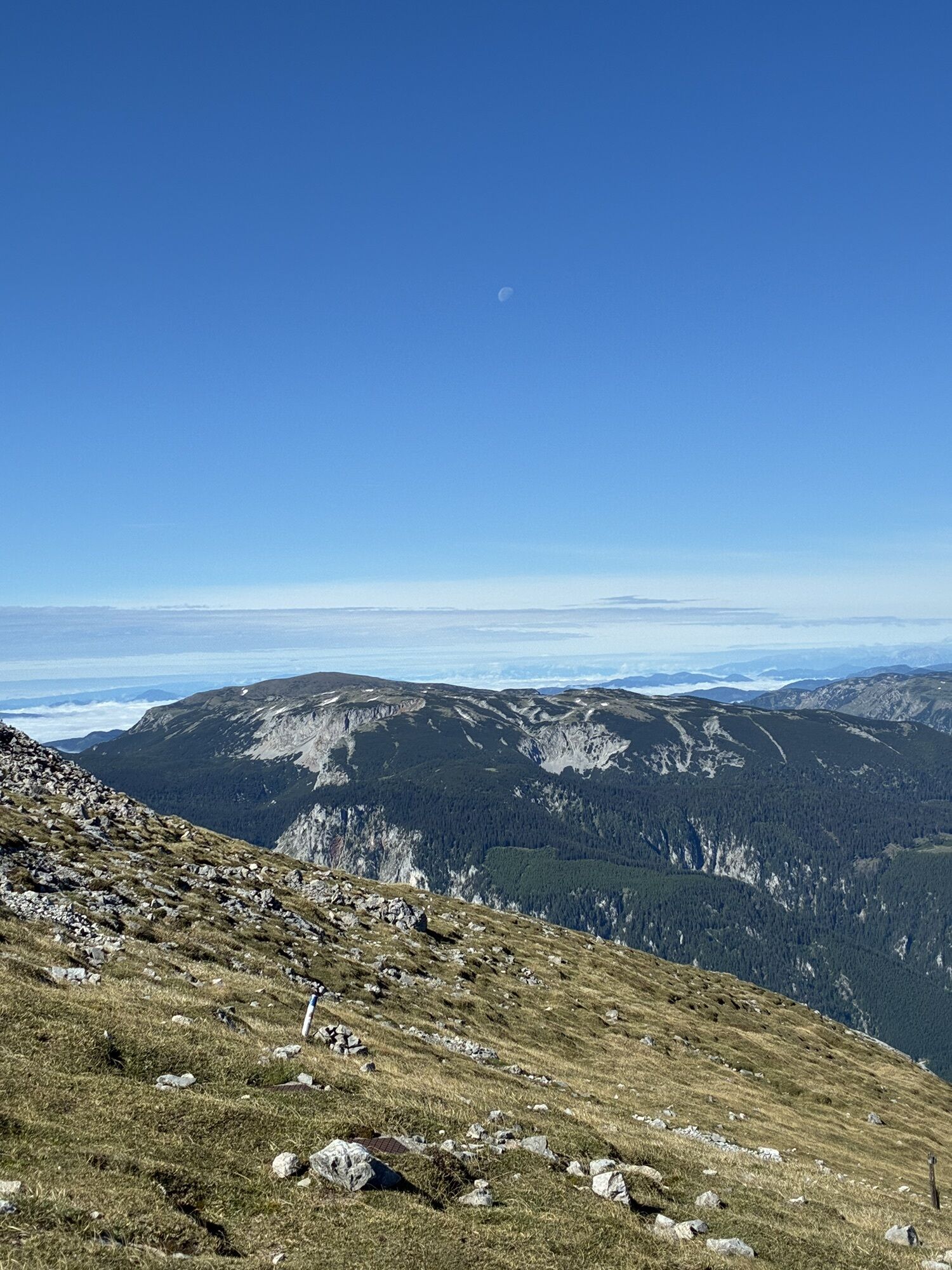
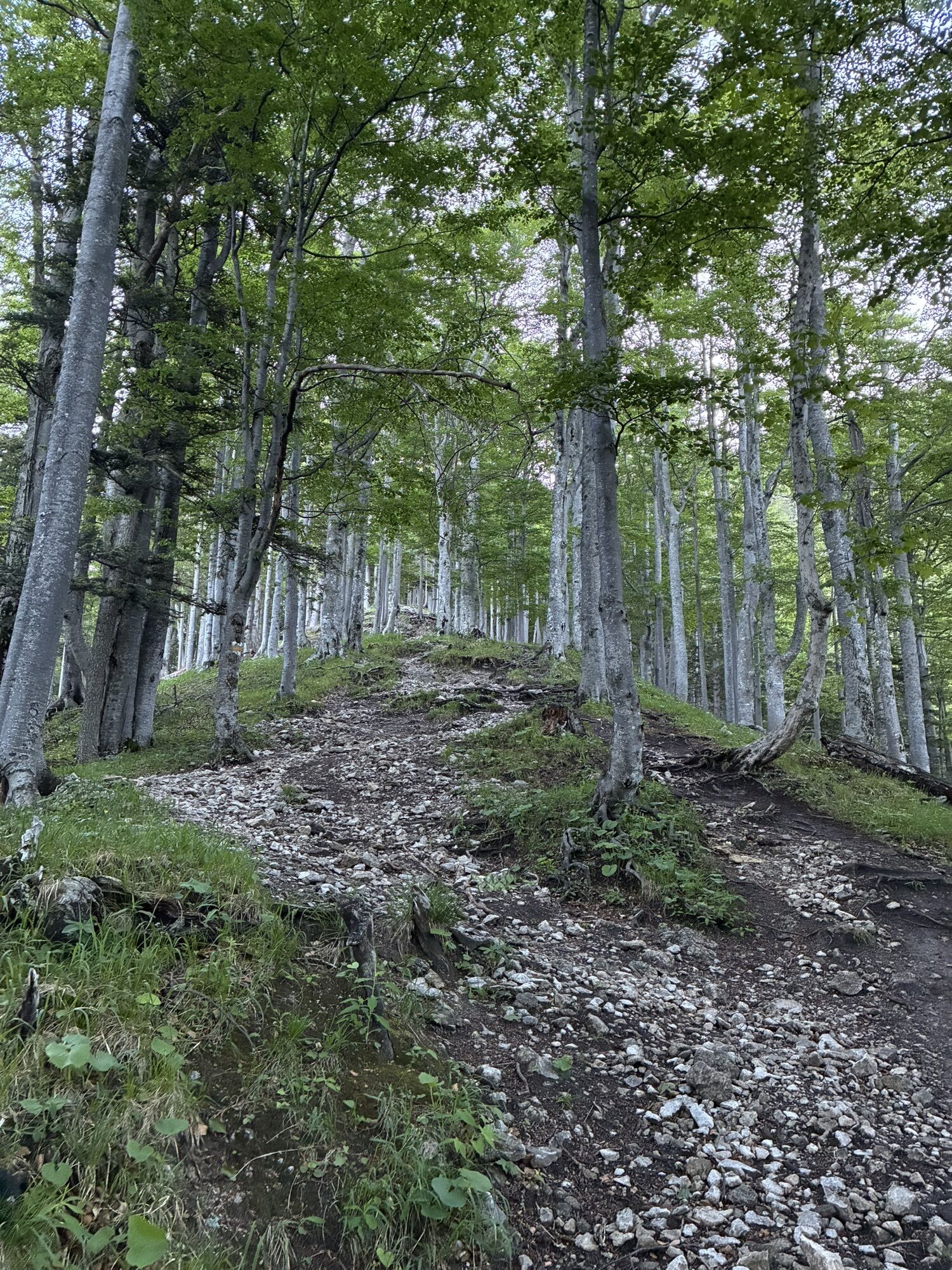
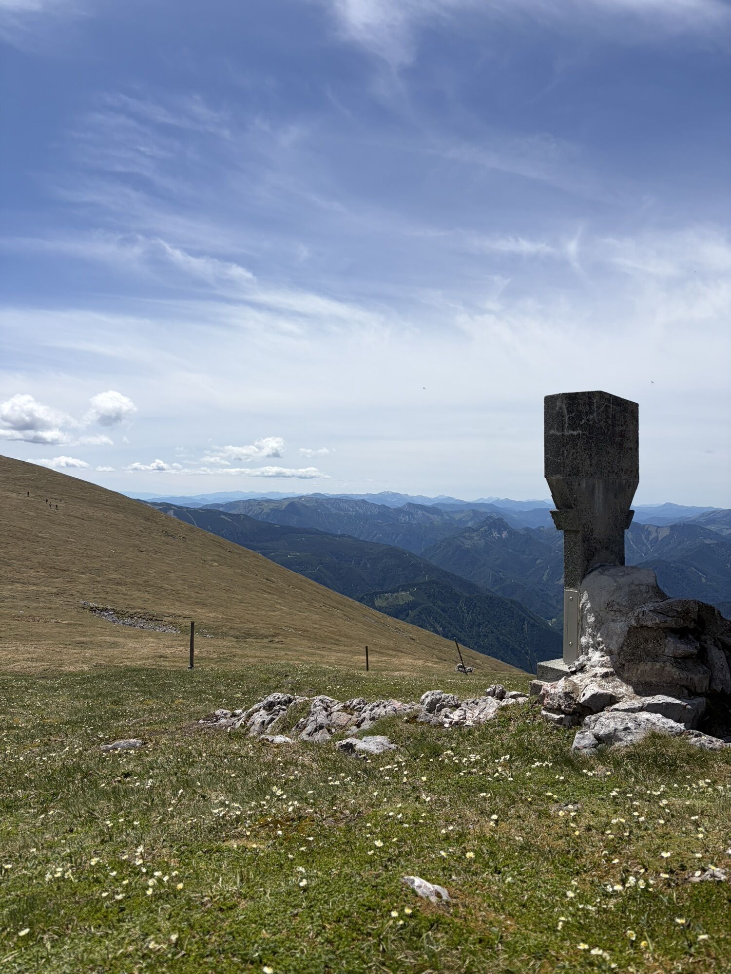
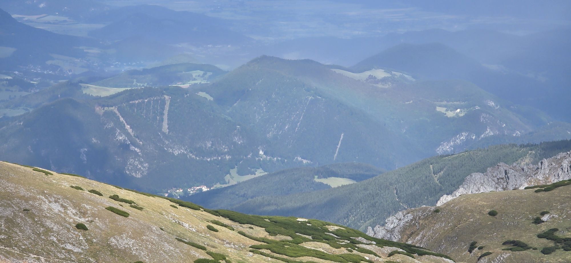
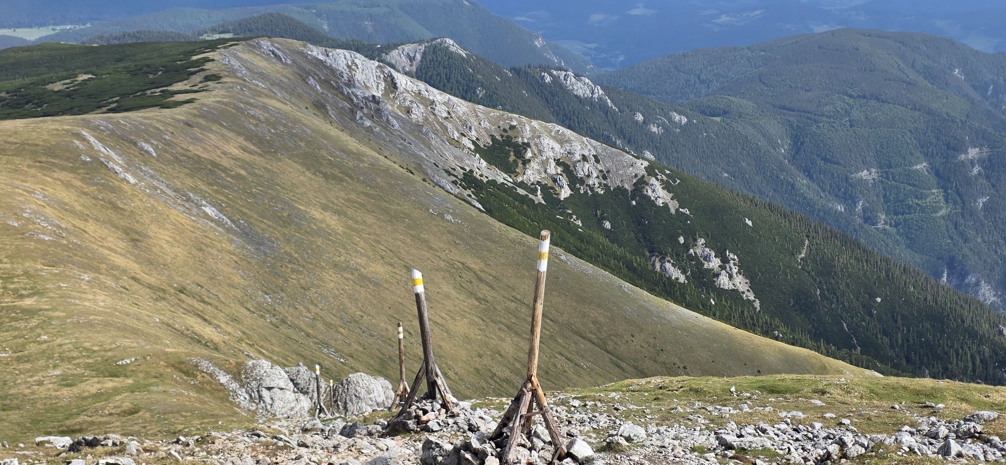
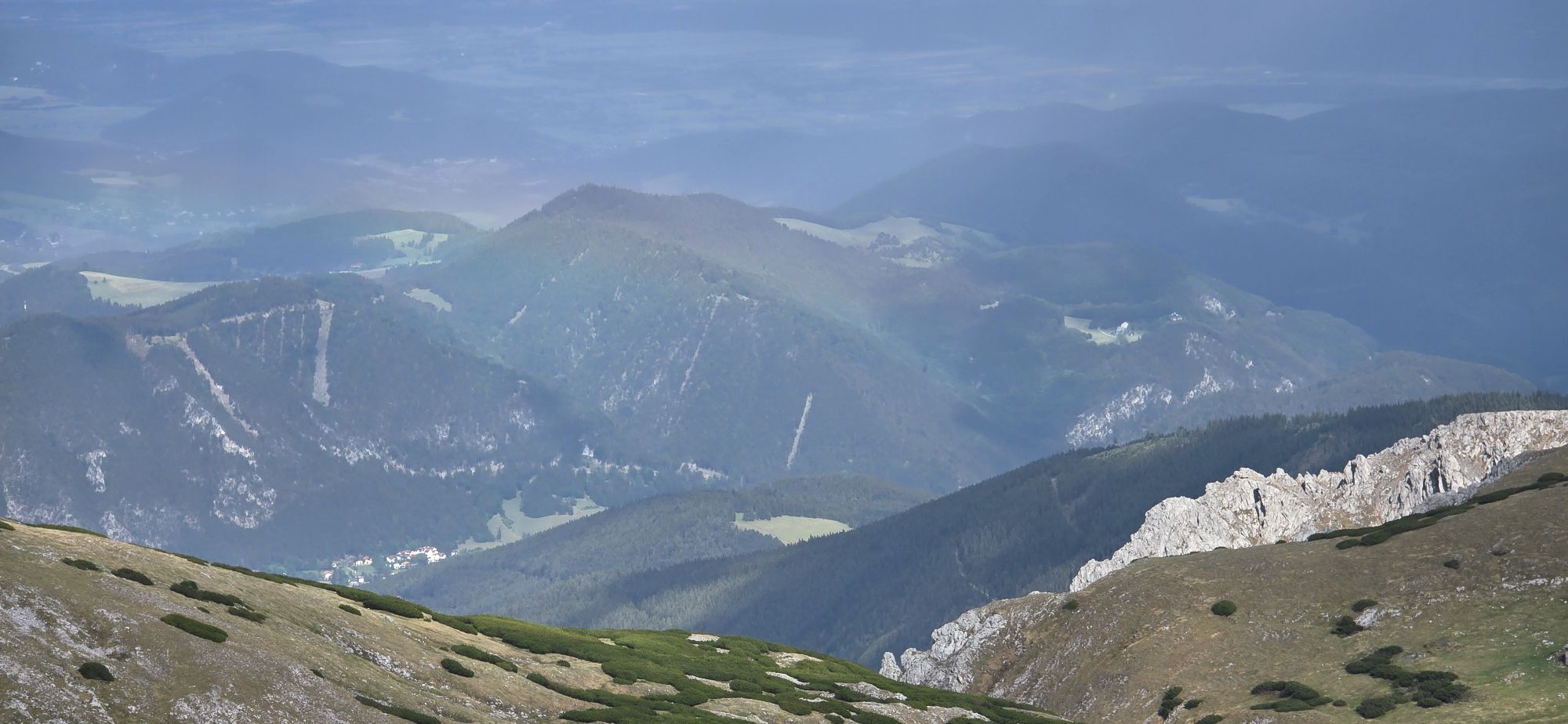
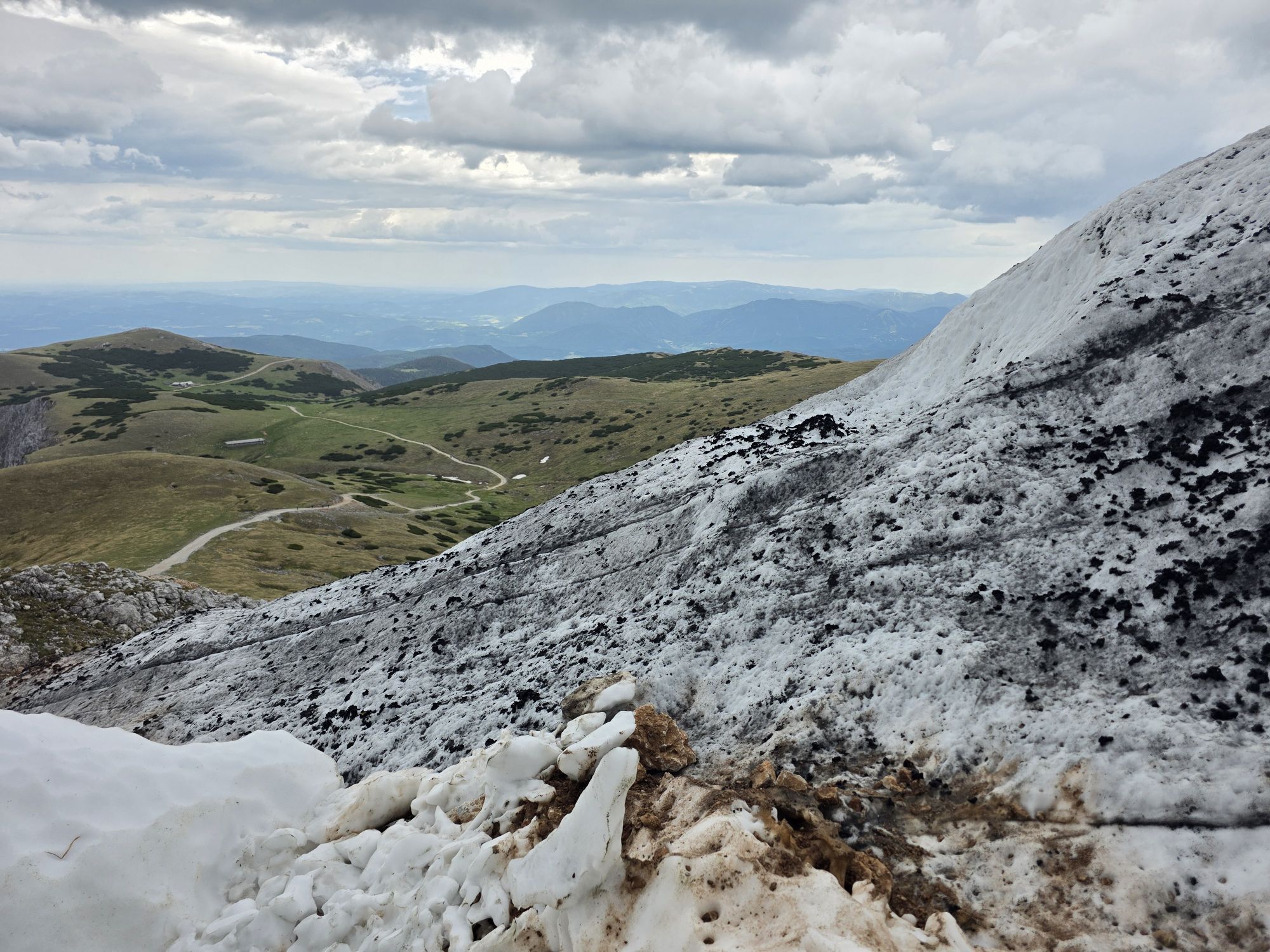
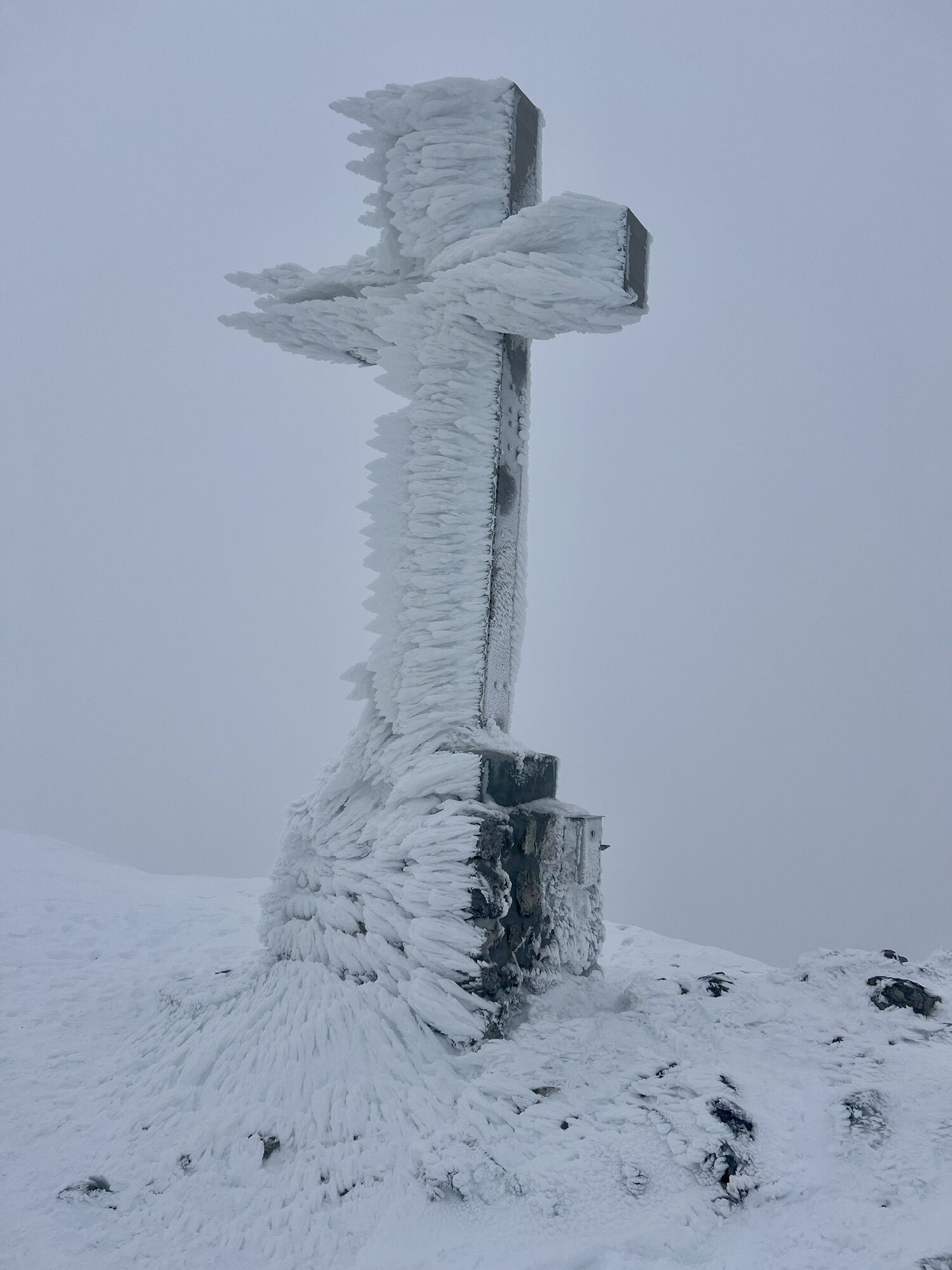
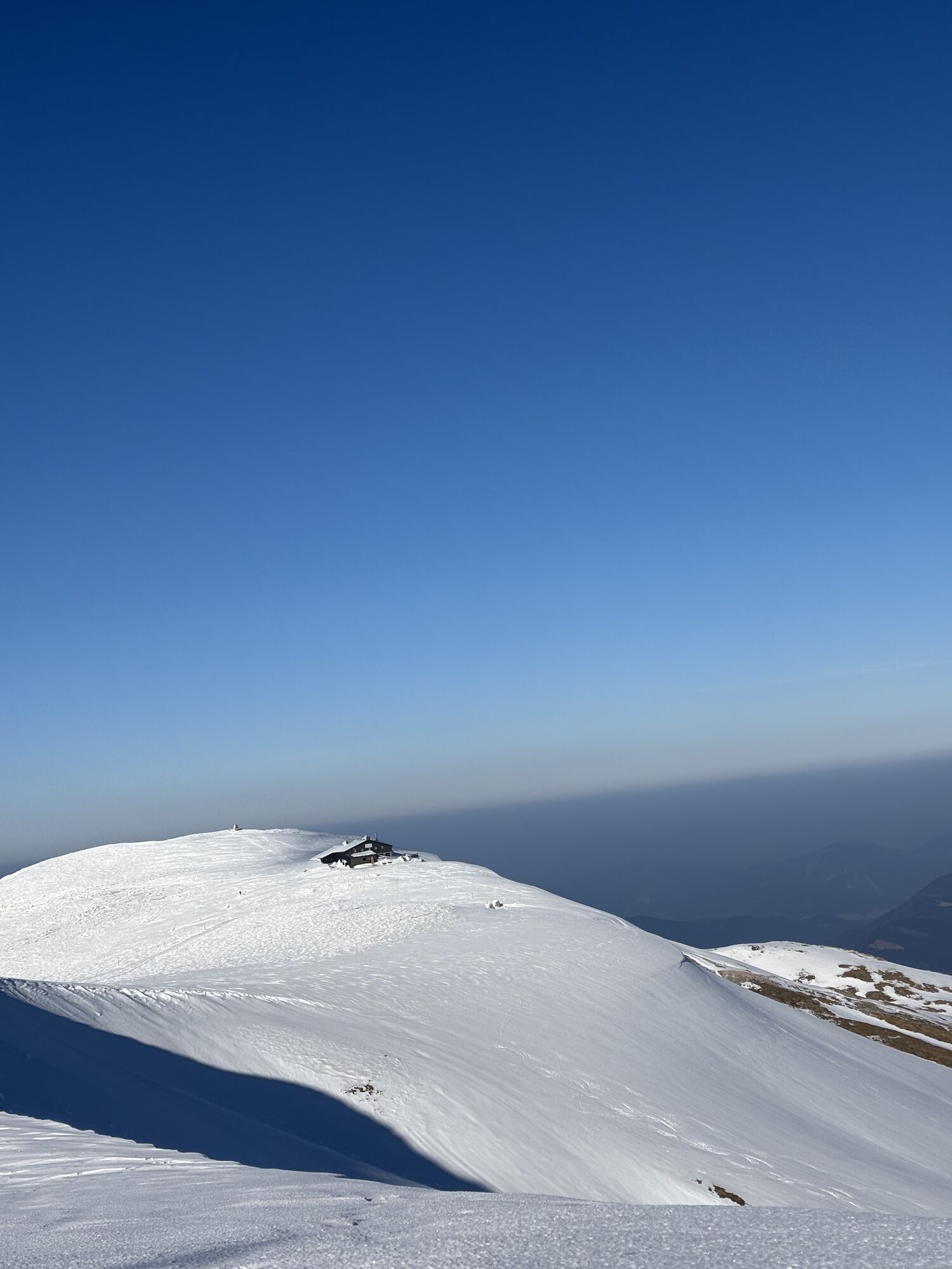
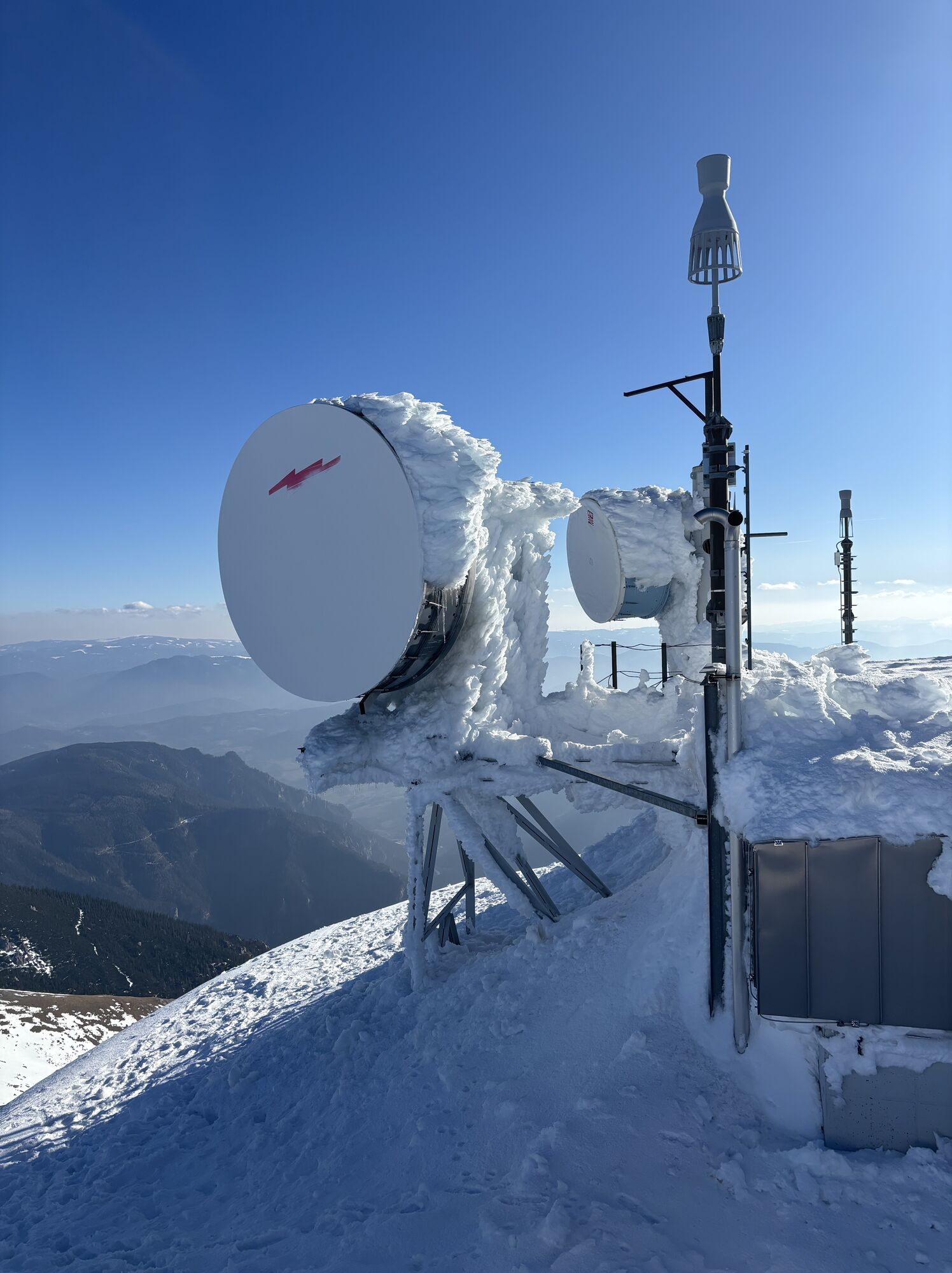
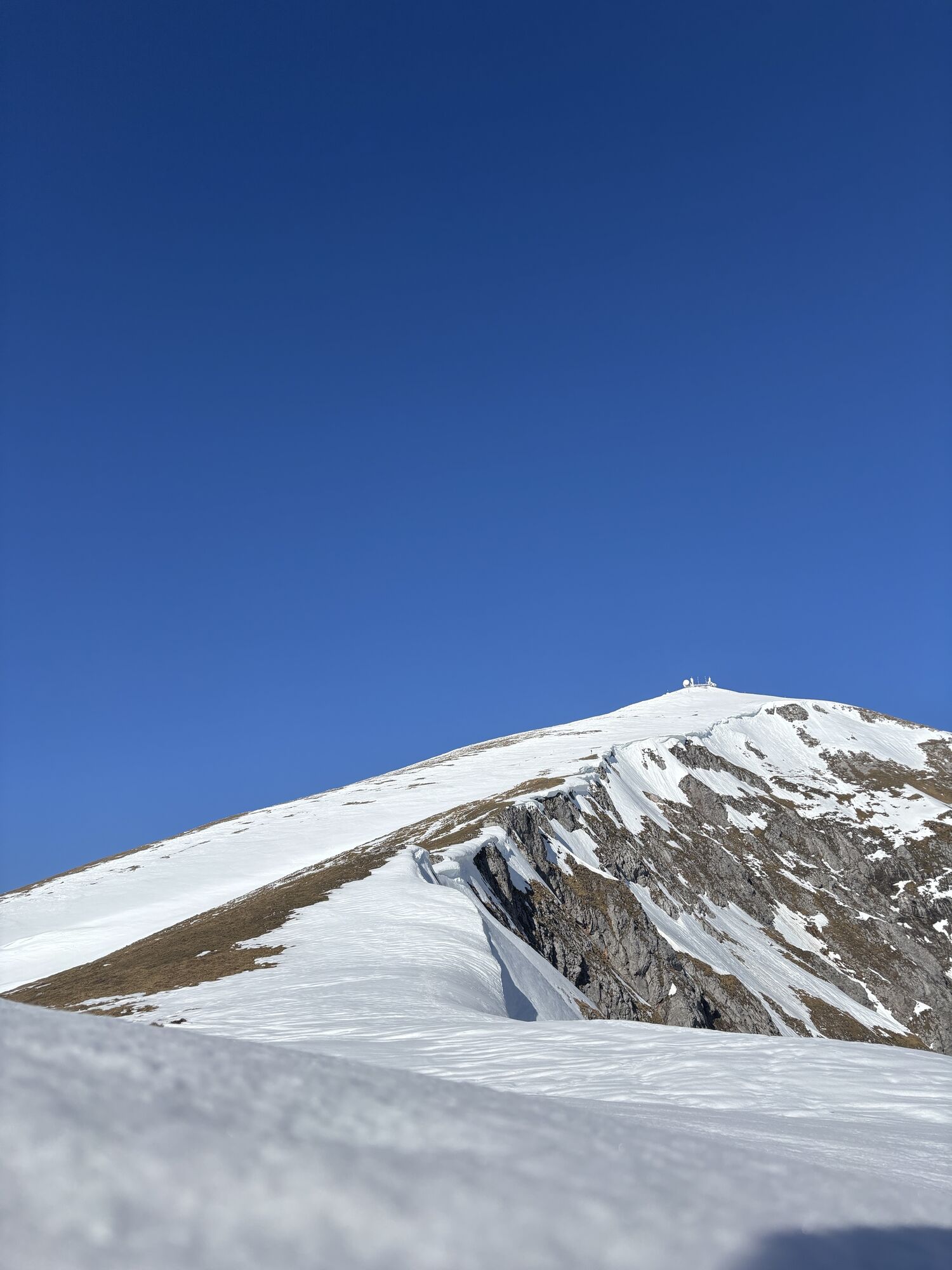
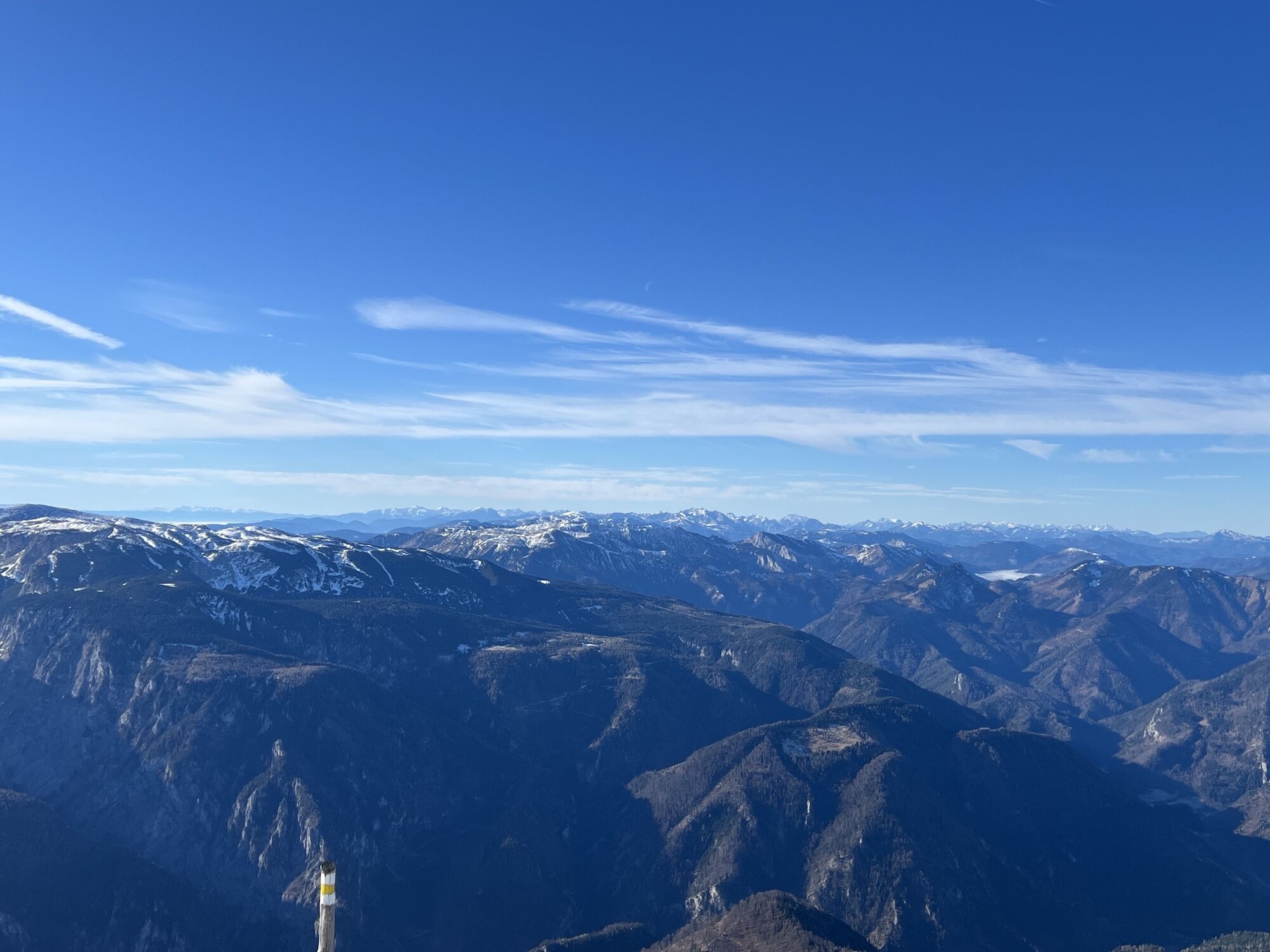
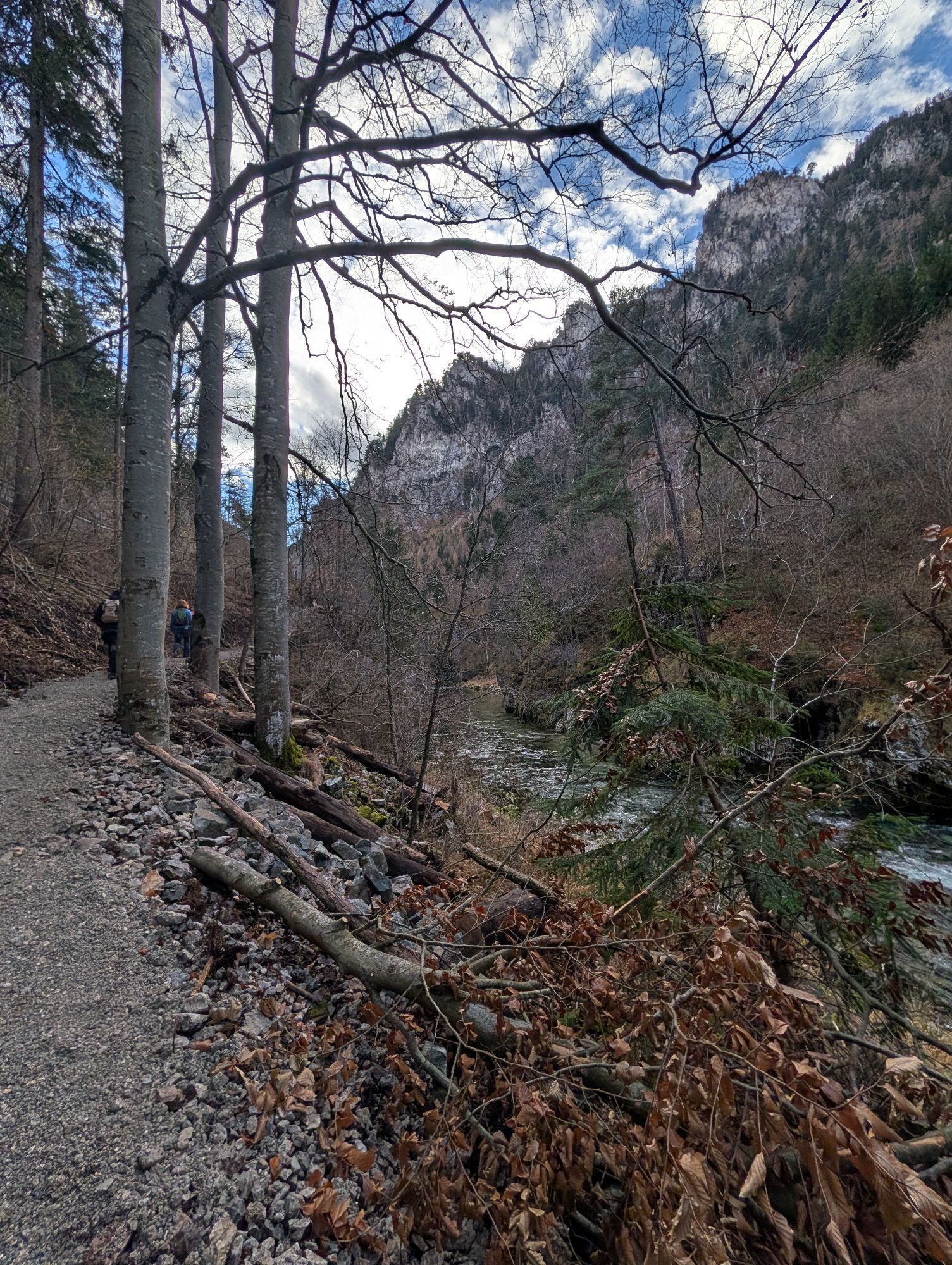
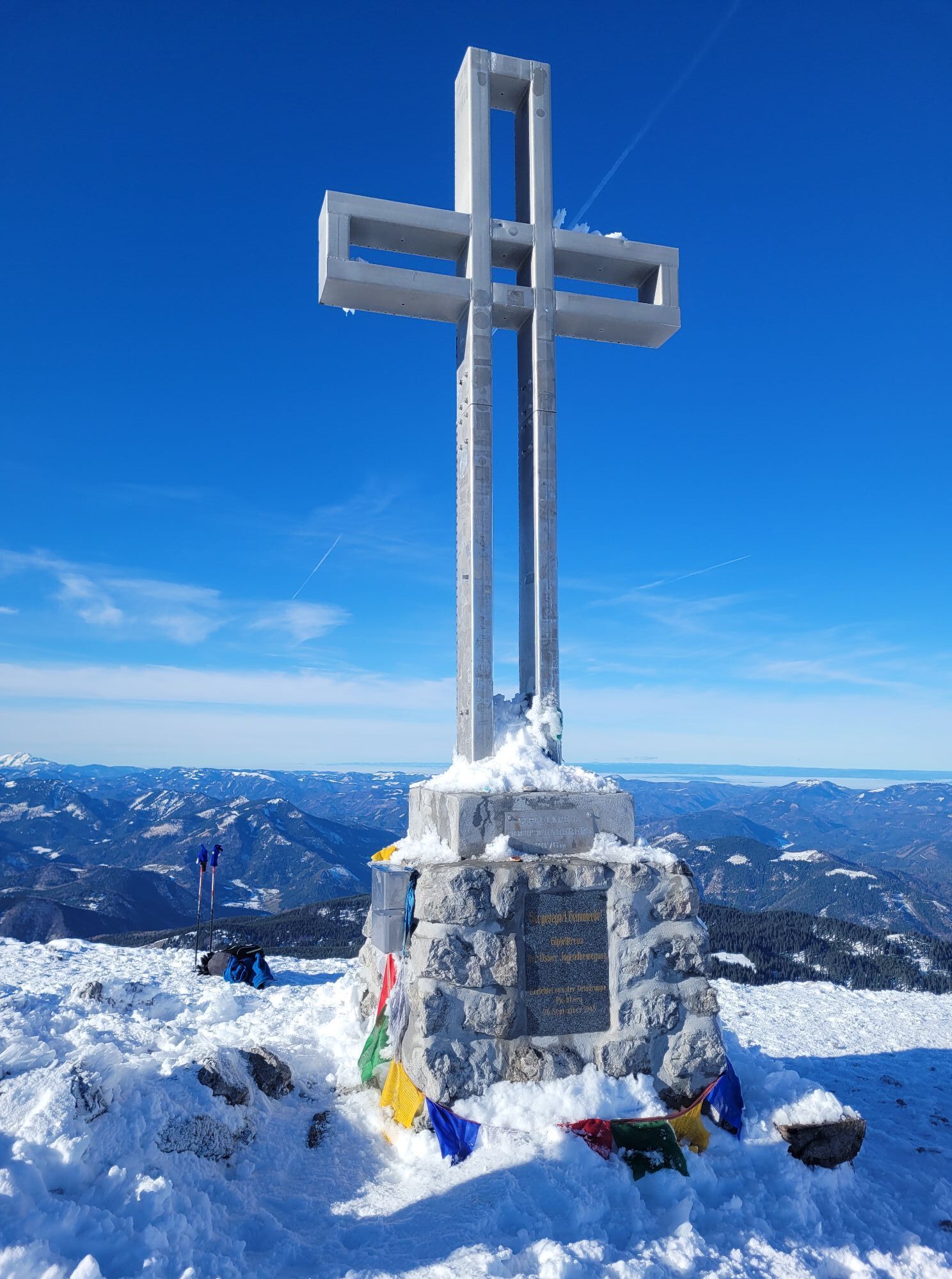
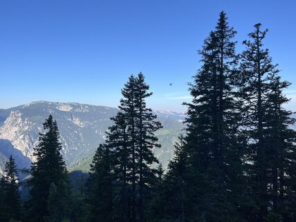
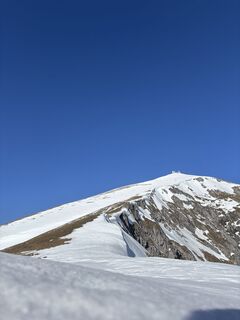
Vom Weichtalhaus im Höllental beginnt der Weg über die landschaftlich eindrucksvolle Weichtalklamm. Nach Regenfällen oder der Schneeschmelze kann dort noch einiges an Wasser sein. Daher ist gutes Schuhwerk unbedingt erforderlich, da man schnell mal bis zu 10cm im Wasser steht. Über Steinstiegen und/oder Metallstiegen gewinnt man durch die Weichtalklamm sehr schnell an Höhe. Am Ende der Weichtalklamm kommt man zum Ferdinand-Mayer-Weg. Nach weiterem kurzen Anstieg ist die Kientalerhütte erreicht (ca. 1400 Höhenmeter). Die Hütte ist teilweise bewirtschaftet (Am besten vorher die Öffnungszeiten abklären). Nach der Hütte geht noch etwas durch den Wald, bevor das Gelände offener wird bis die Baumgrenze erreicht ist. Im Rücken ist immer das eindrucksvolle Massiv der Rax zu sehen. Oberhalb der Baumgrenze beginnt der direkte Anstieg bis zum Klosterwappen. Obwohl das Ziel bereits vor Augen, kann dieser Anstieg bei schlechter Kondition noch sehr lange dauern. Am Gipfel angelangt, ist der Weg zur Fischerhütte nicht sehr weit und wird dort bewirtet.
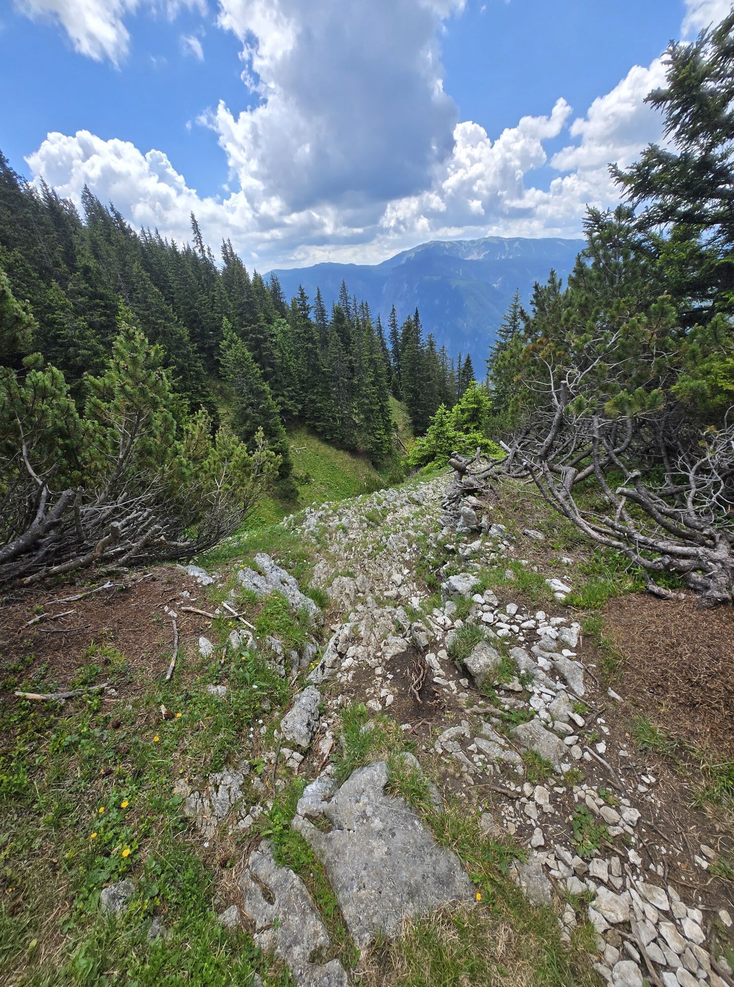
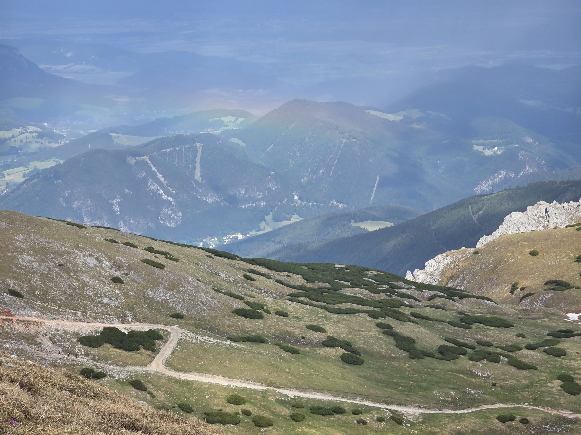
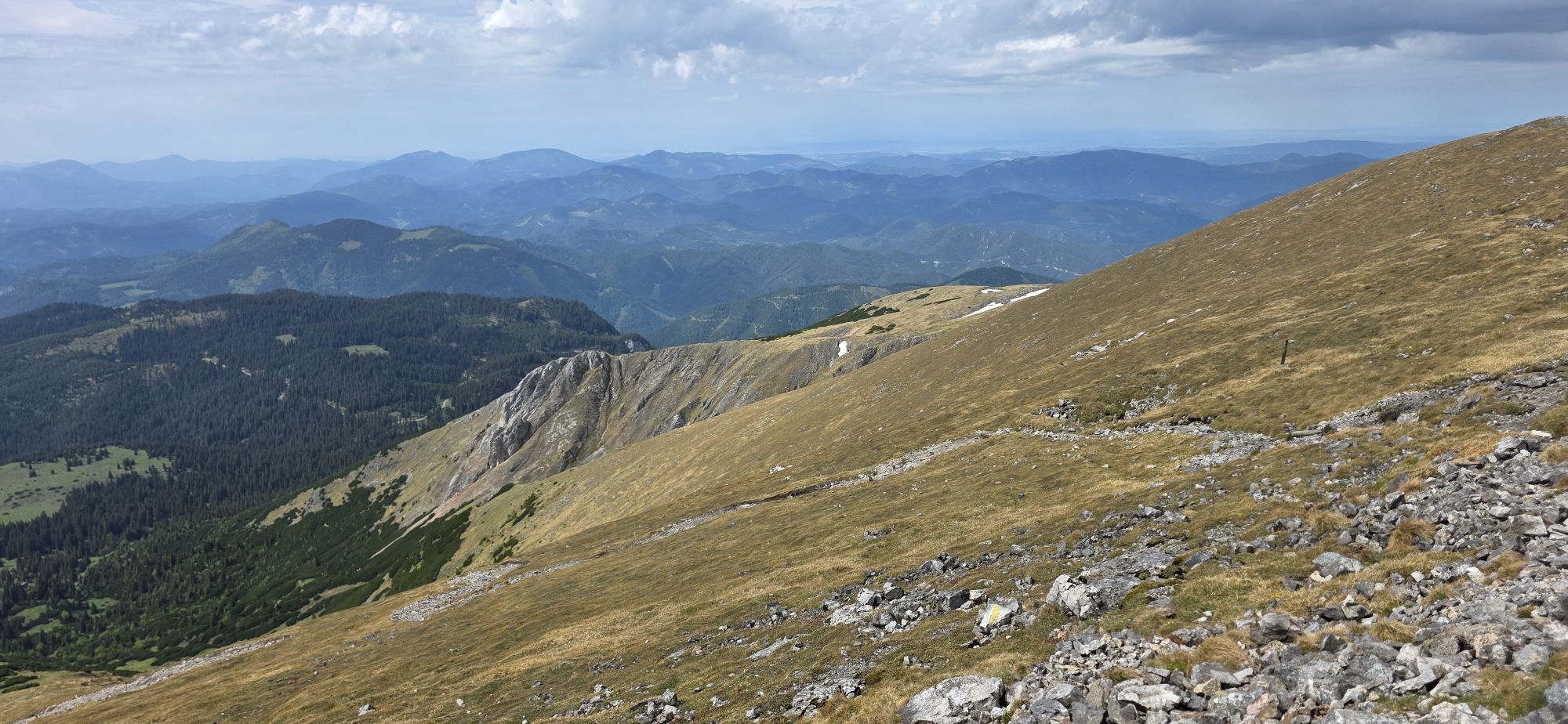
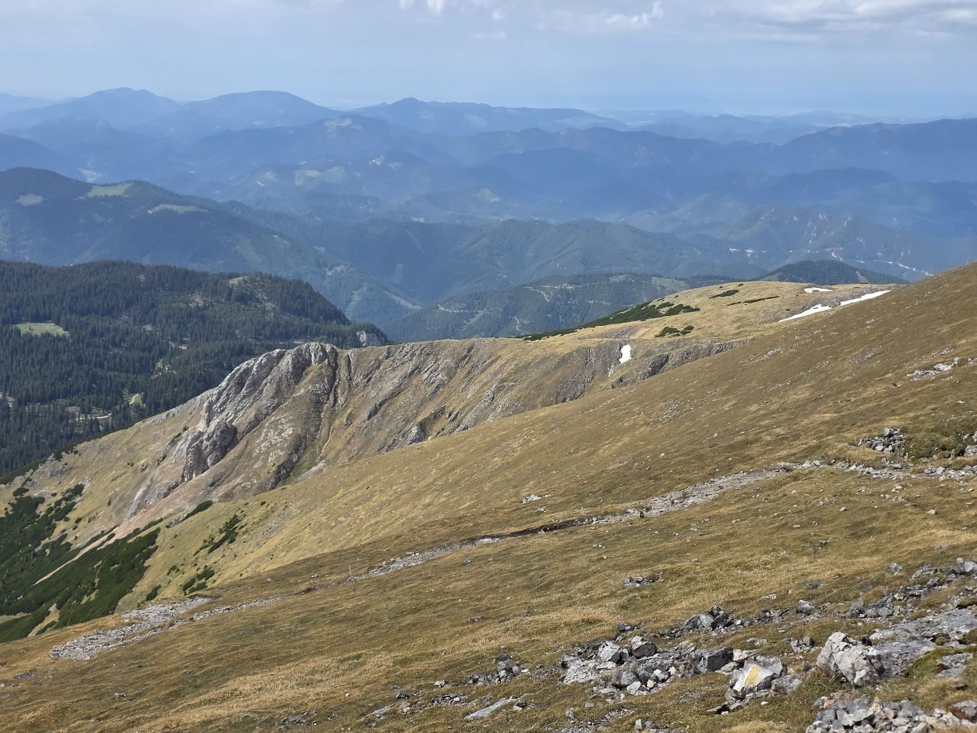
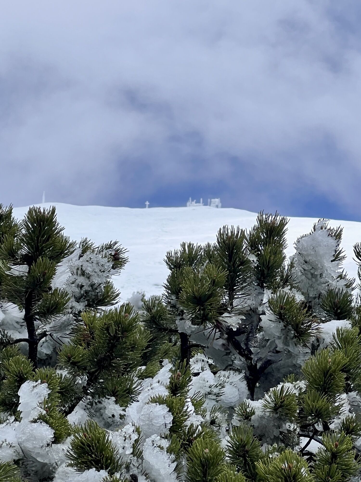
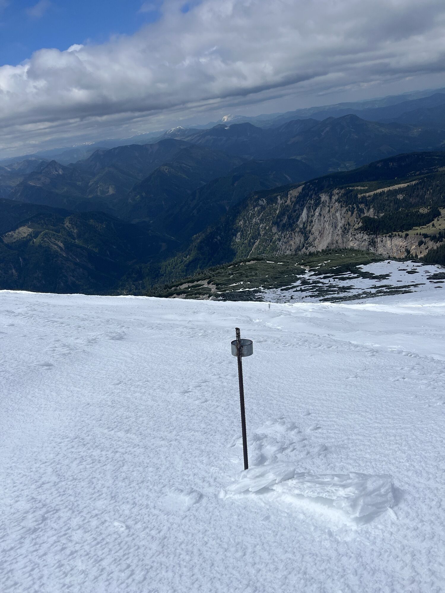
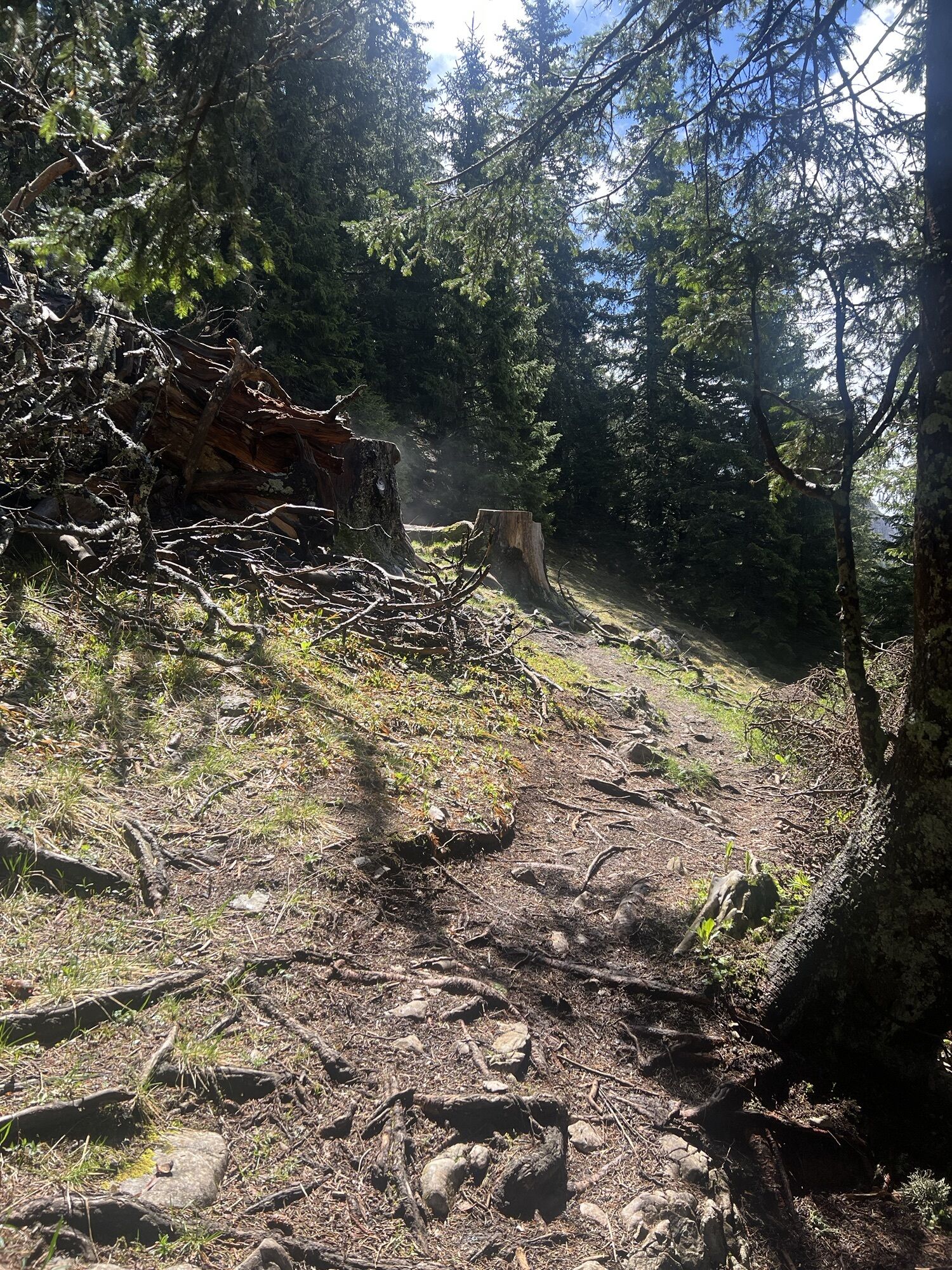
Für den Abstieg haben wir den Stadelwandgraben gewählt. Zuerst geht es vom Klosterwappen in westlicher Richtung über offenes Gelände hinunter, ebenfalls sehr direkt bis zuerst Latschen und dann die Bäume erreicht werden. Der südliche Grafensteig wird gekreuzt, anschließend gelangt man oberhalb der Stadelwand die Märchenwiese. Weiterer Abstieg über gut markierte Wege bis unterhalb der Stadelwand. Mit geeignetem Schuhwerk kann ein schneller Abstieg über die steile Geröllhalde erfolgen, oder diese Halde auch umgangen werden. Danach geht es schon deutlich flacher weiter hinunter bis zur Straße (B27). Auf der läuft man dann ca. 1km zurück bis zum Parkplatz vor dem Weichtalhaus.
Insgesamt eine tolle Tour, mit der eindrucksvollen Weichtalklamm wo auch einiges an Geschick erforderlich ist aber nicht wirklich gefährlich.



Weichtalhaus, Kientalerhütte (Öffnungszeiten beachten), Fischerhütte
Áno
Áno
Áno
Áno
Áno
Festes Schuhwerk, Rucksack, Wanderstöcke (sind teilweise in der Weichtalklamm etwas hinderlich), Trinkflaschen (ca. 2 Liter) und ev. Müsliriegel für zwischendurch
Von der S6 (Semmering Schnellstraße) bis Gloggnitz, dann über Payerbach und Reichenau in das Höllental bis zum Weichtalhaus.
Gratis beim Weichtalhaus



Webové kamery z prehliadky
-
Fischerhütte
-
Fischerhütte
-
Damboeckhaus
-
Sessellift Losenheim
-
Hochschneeberg
-
Rax-Seilbahn/Bergstation
-
Hochschneeberg
-
Puchberg
-
Baumgartner
-
Edelweisshütte Losenheim
-
Galerie Voka
-
Elisabethkirche
-
Fischerhütte
-
Rax-Seilbahn/Bergstation
-
Schneeberg - Forellenhof
-
Gutenstein - Ferienwohnungen Mamauwiese
-
Raxalpe - Ottohaus
-
Sessellift Losenheim
Získajte prehľad
Vždy naživo na mieste s viac ako 9 500 webovými kamerami. bergfex Ako používateľ Pro si teraz môžete pozrieť príslušné webové kamery pre mnohé zájazdy v aplikácii zájazdy z. Môžete si tak priamo prezerať aktuálne podmienky.
Aktivity počas prehliadky
-

Reichenau an der Rax, Niederösterreich/Österreich
28.06.2026 – Rýchla turistika -

Reichenau an der Rax, Niederösterreich/Österreich
13.05.2026 – Turistika -

Reichenau an der Rax, Niederösterreich/Österreich
02.05.2026 – Turistika -

Reichenau an der Rax, Niederösterreich/Österreich
30.04.2026 – Turistika -

Reichenau an der Rax, Niederösterreich/Österreich
25.04.2026 – Turistika -
Reichenau an der Rax, Niederösterreich/Österreich
15.03.2026 – Turistika -

Reichenau an der Rax, Niederösterreich/Österreich
05.03.2026 – Turistika -

Reichenau an der Rax, Niederösterreich/Österreich
14.12.2025 – Turistika -

Reichenau an der Rax, Niederösterreich/Österreich
31.08.2025 – Turistika
Obľúbené výlety v okolí
-
4,6
Losenheim: Edelweißhütte - Fadensteig - Fischerhütte
strednáTuristika 11,5 km -
4,7
Zahnradbahn und Wandern am Schneeberg - Plateauwanderung
strednáTuristika 6,90 km -
4,8
Rax - Heukuppe
Turistika 15,6 km -
4,8
Cultural walk Payerbach-Reichenau
svetloTuristika 7,43 km -
5,0
"Weichtalklamm" über Stock und Stein durch das Höllental - Weichtalhaus - Kientallerhütte 1340m
strednáTuristika 14,0 km -
4,9
Insider tip: Schneeberg via the Novembergrat
ťažkéTuristika 13,5 km -
4,9
Reißtalersteig und Gretchensteig
ťažkéTuristika 8,10 km -
4,9
RAX Preiner Gscheid Waxriegel Predigtstuhl Heukuppe Karl L.Haus ret. 20210908
strednáTuristika 12 km -
4,9
SCHNEEBERG Losenheim Nandlgrat Klosterwappen Fadenweg 28.09.2017
ťažkéTuristika 15 km -
4,9
"Über den höchsten Nieder-Ösi" - Schneeberg - Weichtalklamm - Klosterwappen - Stadlwandleiten
strednáTuristika 17,7 km
Turistika a stopovanie


Nenechajte si ujsť ponuky a inšpiráciu na ďalšiu dovolenku
Vaša e-mailová adresa bol pridaný do poštového zoznamu.





