







Stone & Wine
Eggenburg lies at the foothills of the Manhartsberg. It is said that the "border" between the Weinviertel and Waldviertel runs through the main square. A walk through Eggenburg or along and on the town...
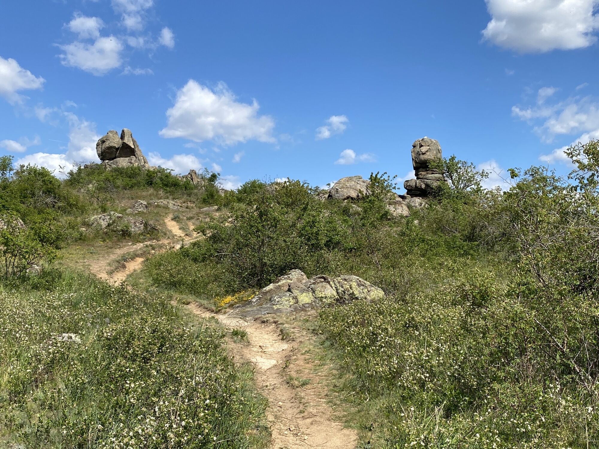
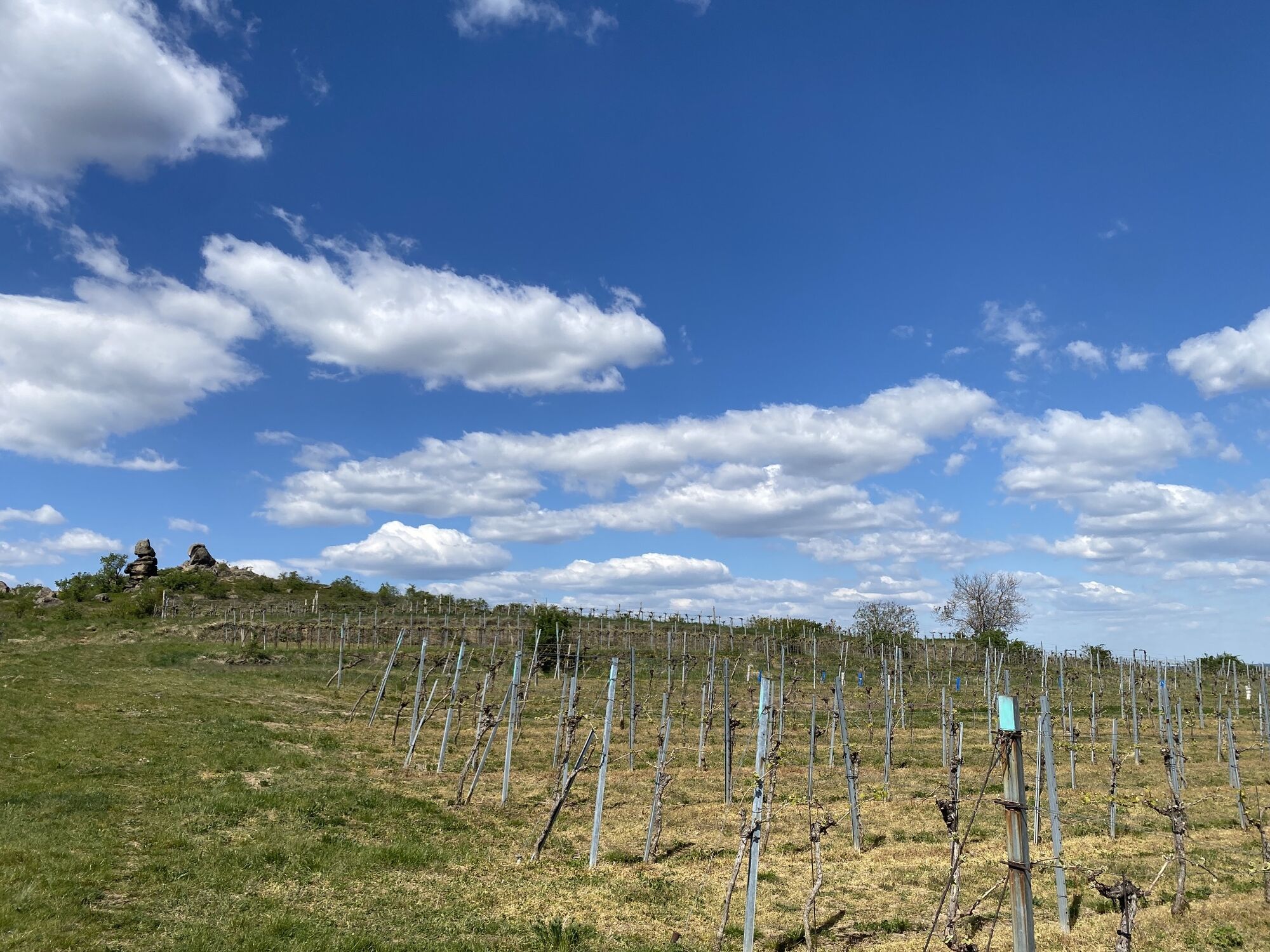
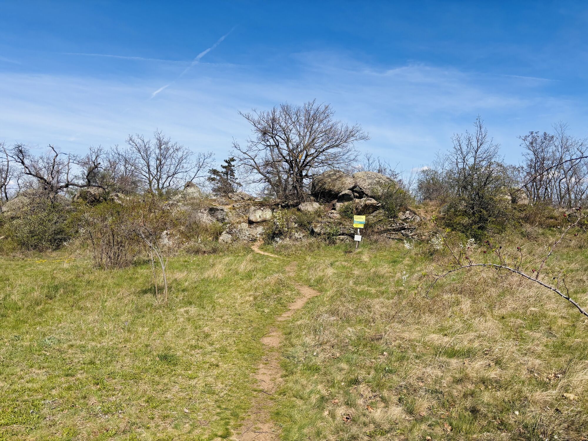
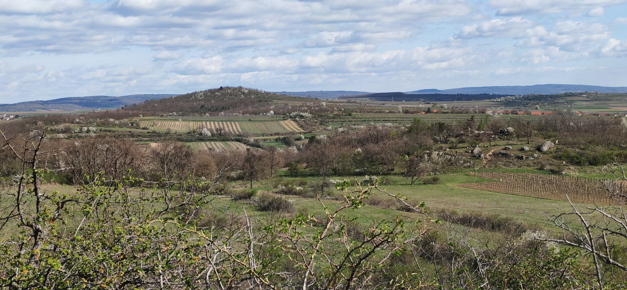
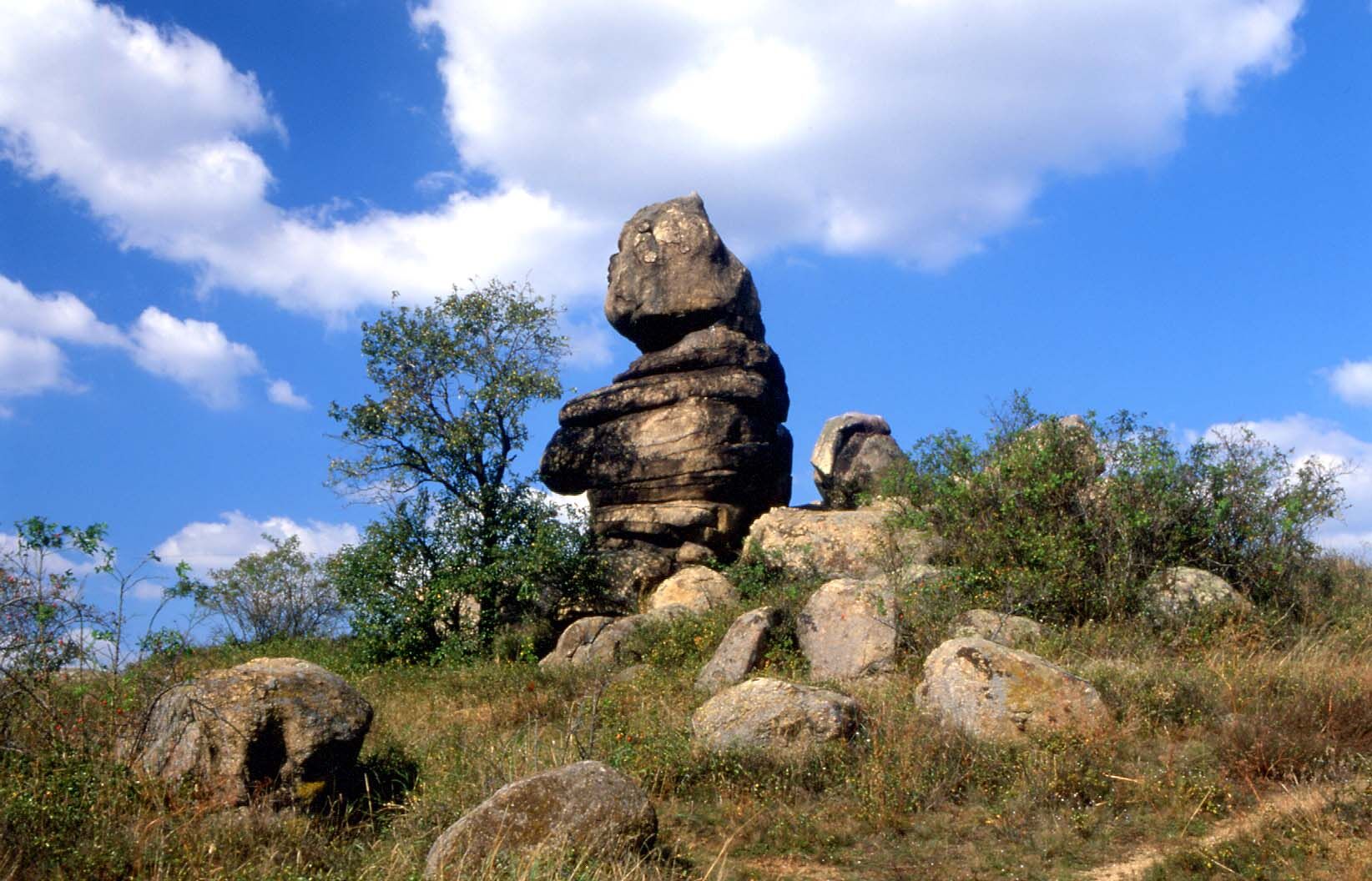
Eggenburg lies at the foothills of the Manhartsberg. It is said that the "border" between the Weinviertel and Waldviertel runs through the main square. A walk through Eggenburg or along and on the town wall promises numerous interesting insights into the history of the town. The Church of St. Stephan is one of the largest churches in Lower Austria. The circular hiking route "Stone and Wine" leads through vineyards, to mystical rock formations in dry grassland areas, and to one of the most beautiful cellar lanes in the Weinviertel.




The starting point is the Krahuletz Museum, from there you go via the Wasserburgerring to the Schwedenturm. Then you go down into the Stadtgraben – a dry moat that was positioned in front of the eastern side of the Eggenburg town wall. Past the "Tower of Peace" you reach the roundabout and follow the Grafenbergerstraße out of town.
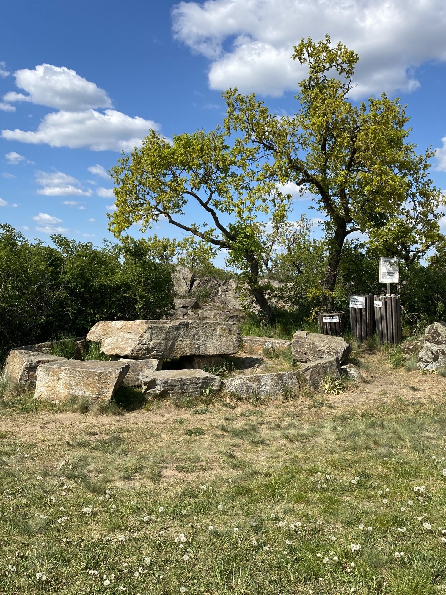
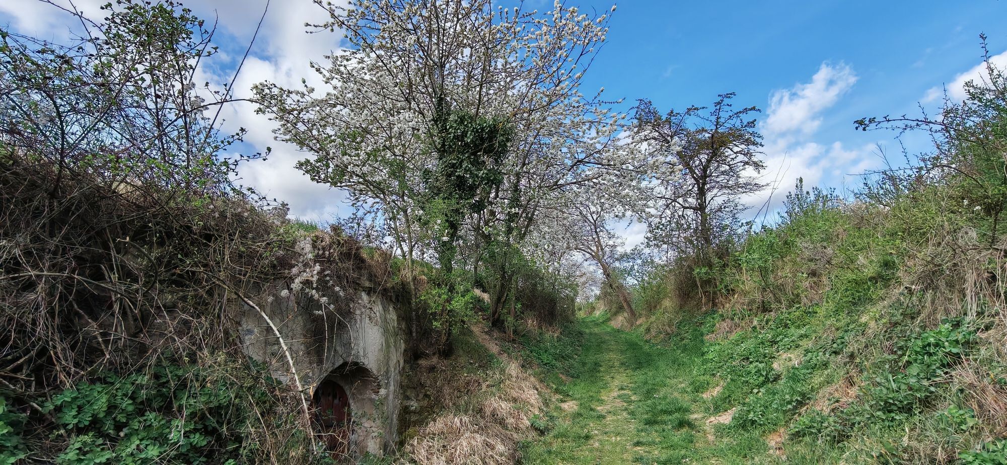
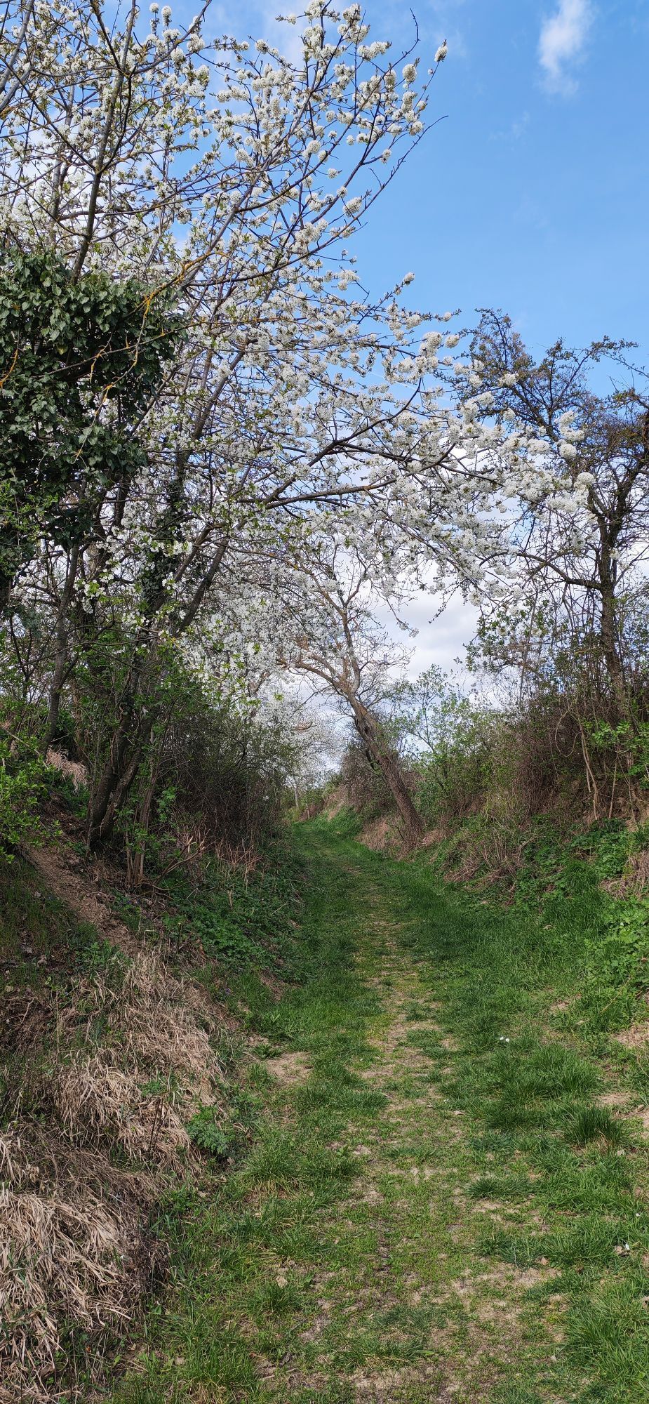
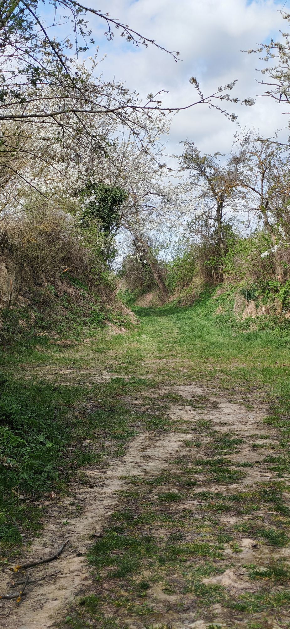
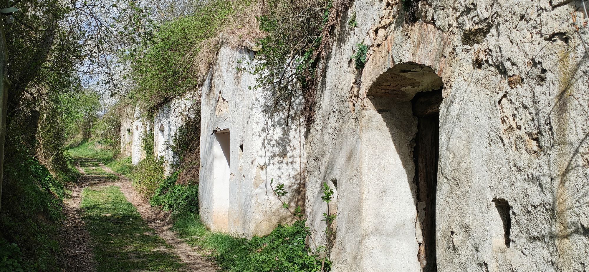
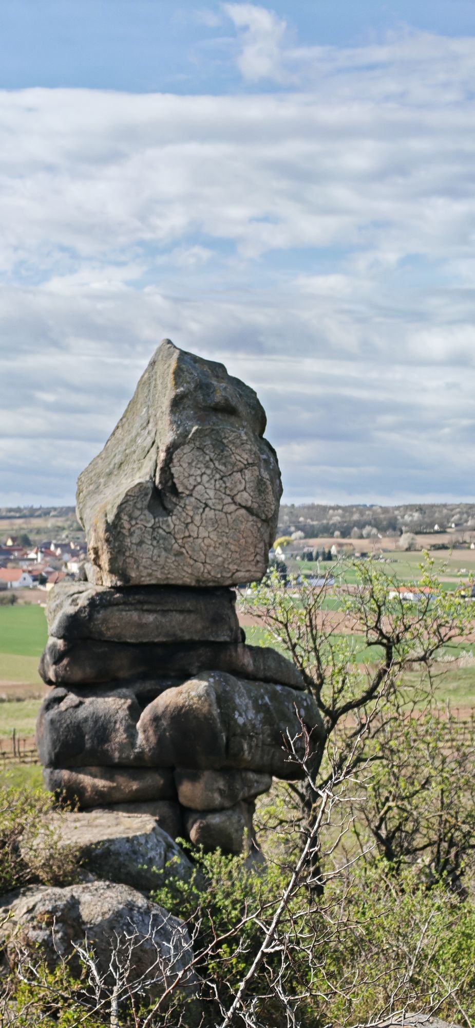
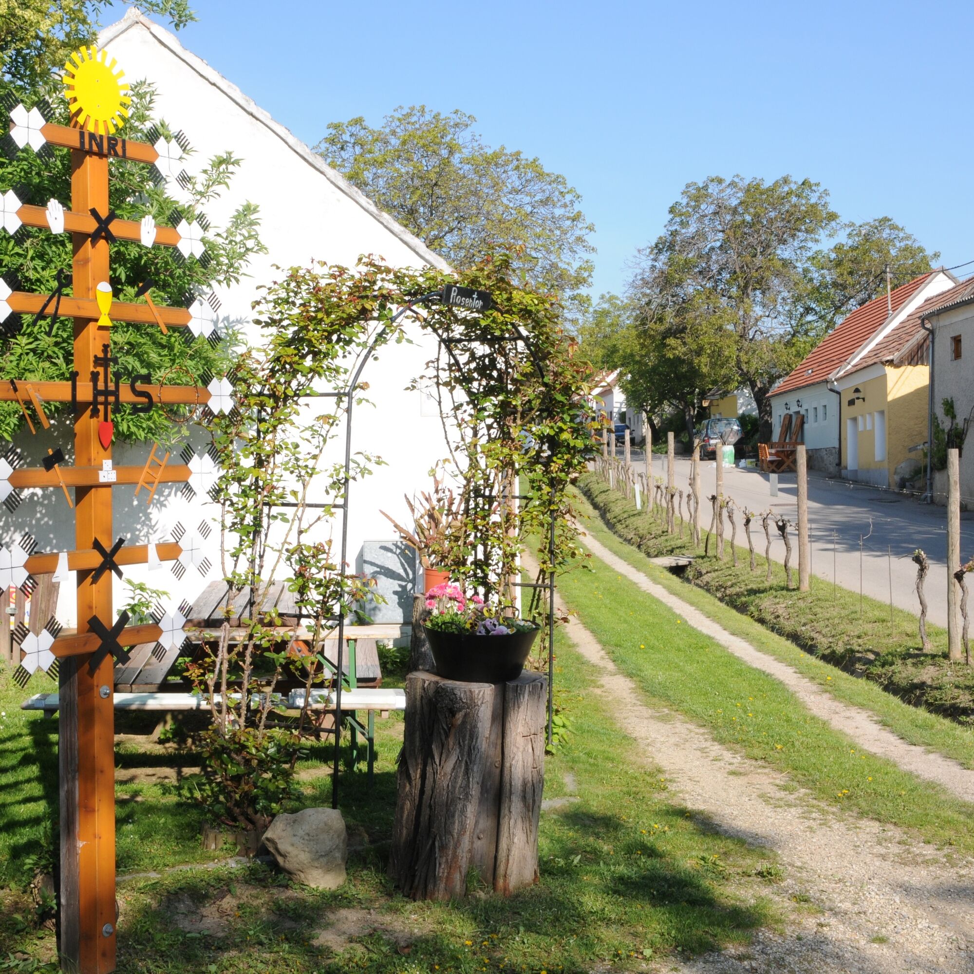
After leaving the village, turn left before the Muchkapelle onto the field path towards Kogelsteine and Fehhaube. After some time, the path begins to widen and you enter a hollow way, flanked on both sides by cellars from the 19th century – some abandoned, but all dug into the Ice Age loess blown onto the eastern side of the hilltop by the wind. Through level terrain past the "Loamgstettnkreuz" you head towards the Kogelsteine.
The next destination is the well-known Fehhaube, then the path continues downhill in the forest. Caution, after some time you must cross the federal road and follow it a few steps to the right. Shortly afterwards, a path branches off to the left. Follow this towards Stoitzendorf, a small climb more and you reach the walnut tree-lined Kellergasse Stoitzendorf. In the cellar lane turn left. After about 700 m comes a fork in the path and you turn left again. This path leads past the Hiatahittn and finally back on the Bertha-von Suttner path to the Eggenburg industrial area, you walk past the football field, turn left into Josef-Deimel-Straße. At the next intersection turn right into Felberstraße and follow it to the B35 (Pulkauerstraße). Follow this leftwards towards the town center up to the roundabout. Along the town wall – Tower of Peace, Stadtgraben, Schwedenturm – you return to the Krahuletz Museum.
Áno
Sturdy footwear, functional clothing, sufficient provisions (snack, water, etc.)
Pack your mobile phone and maps into your backpack
From Vienna on the A22 to Stockerau, then on the B4 towards Horn to Maissau, turnoff to Eggenburg on the B35 another 8 km.
Or from Stockerau via the B303 to Hollabrunn and further on the B2 via Schöngrabern to Eggenburg.
From the West Autobahn (A1) take the St. Pölten Ost exit onto the S33 towards Krems to Gedersdorf, continue on the B35 via Straß and Mühlbach to the B4, then left towards Horn to Maissau, turnoff to Eggenburg on the B35 to Eggenburg.
From Czechia on the 413 via Hnanice/Mitterretzbach, continue on the B35 via Retz to Eggenburg
Franz-Josephs-Bahn: Vienna Franz-Josefs Station to Eggenburg. Your exact route can be planned with the VOR route planner: https://anachb.vor.at/
Public, free parking lot at the Eggenburg town hall, access via Kühnringerstraße or via Leinwandbleiche.
Tourism Information Eggenburg
Krahuletzplatz 1
3730 Eggenburg
T: +43 2984 3400
tourismusinfo@eggenburg.at
www.eggenburg.at
www.facebook.com/eggenburg
www.instagram.com/mittelalterstadt_eggenburg/
Points of interest:
Krahuletz Museum Schubertpark Kogelsteine Kellergasse Stoitzendorf Varietal Path Main Square Eggenburg Stop at the rustic Presshausheurigen in the Kellergasse StoitzendorfCellar lane tours available on request at the Eggenburg Tourism Information



Obľúbené výlety v okolí
-
4,5
DAC Radtour-Weinviertel
strednáCyklistika 55,1 km -
4,2
»tut gut« Wanderweg Pulkau | Route 2
strednáTuristika 7,29 km -
4,5
Kellergassenrundwanderweg
strednáTuristika 8,69 km -
4,0
Rivaner-Radtour
Cyklistika 54 km -
5,0
Eggenburg und Kogelsteine
svetloTuristika 8,25 km -
4,5
Bergrunde
strednáTuristika 5,18 km -
4,0
»tut gut« Wanderweg Pulkau | Route 3
strednáTuristika 6,52 km -
5,0
Geology Trail
strednáTuristika 11,4 km -
4,7
Klemens Maria Hofbauer- Pilgerweg
svetloPútnická trasa 144,4 km -
4,0
Riesling Radrunde
strednáCyklistika 46,8 km
Turistika a stopovanie


Nenechajte si ujsť ponuky a inšpiráciu na ďalšiu dovolenku
Vaša e-mailová adresa bol pridaný do poštového zoznamu.





