


From Scheibbs to Lampelsberg (to the transmitter)
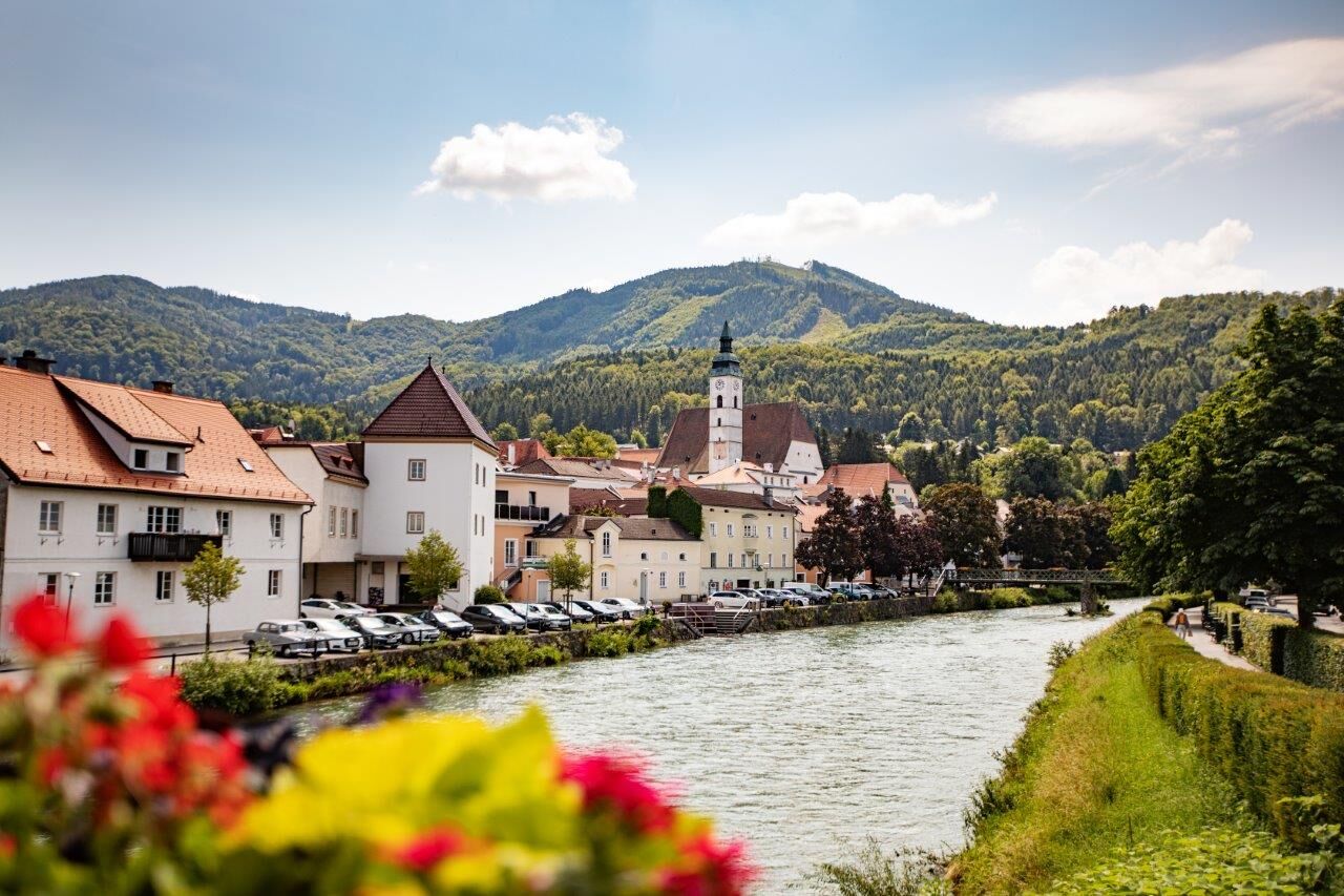
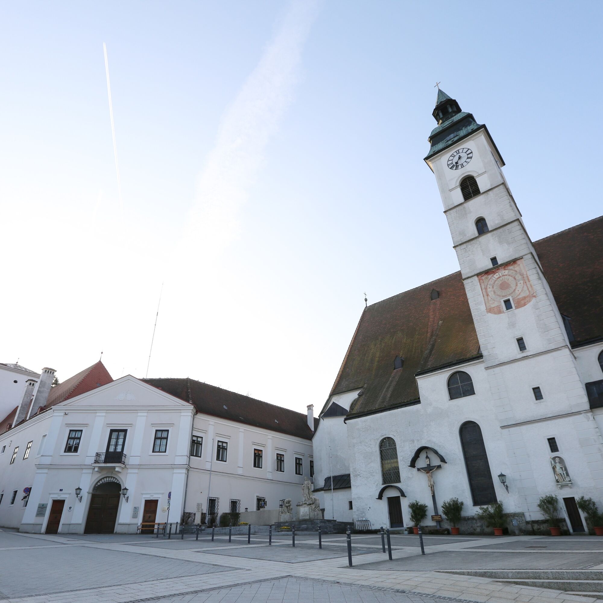
We leave Rathausplatz via the Rathaus stairs heading towards the Erlauf. We cross Haupt and Gaminger streets until we cross the river via the wooden footbridge "Sandsteg" and continue our path along the...
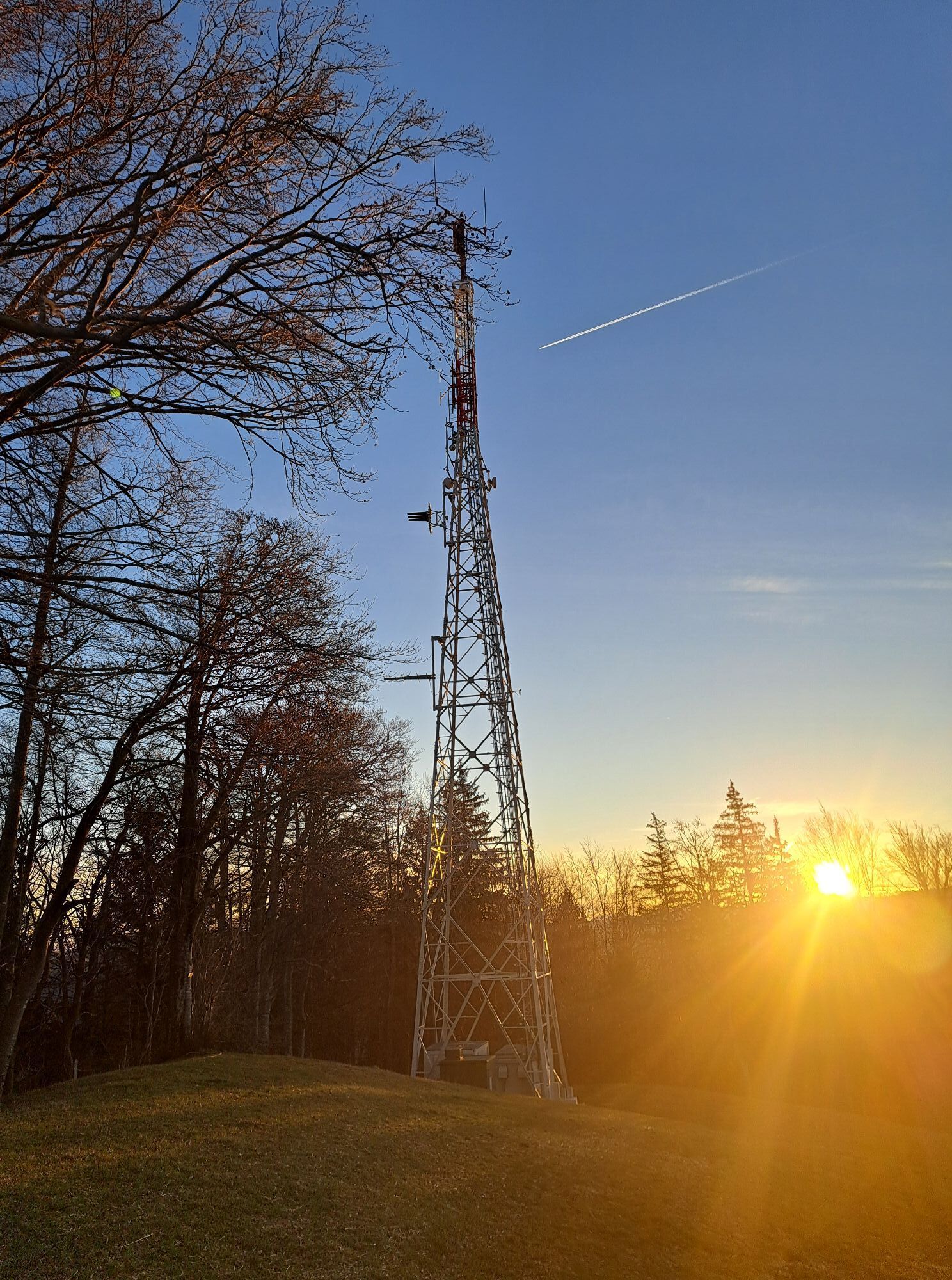
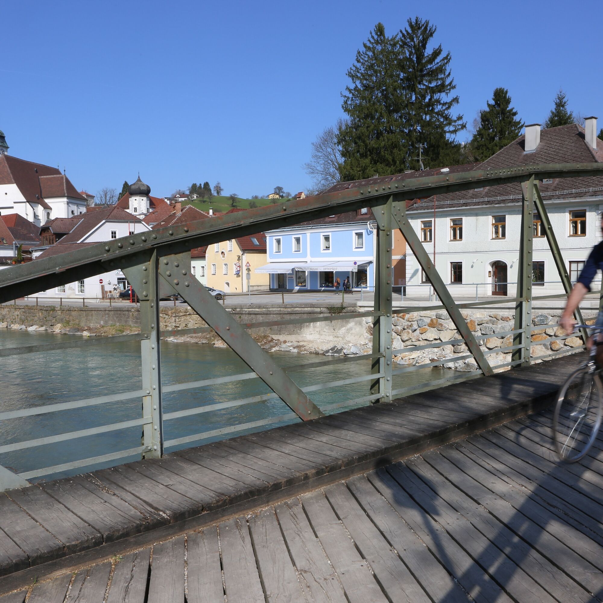
We leave Rathausplatz via the Rathaus stairs heading towards the Erlauf. We cross Haupt and Gaminger streets until we cross the river via the wooden footbridge "Sandsteg" and continue our path along the left Erlauf bank. Along the Erlauf promenade, we stroll through a shady chestnut avenue upstream. We pass the Töpper and the Cardinal Franz König bridges. Where the Erlauf promenade finally flows into Strudenweg, we turn right and after crossing the Erlauftal railway reach the Güterweg Lampelsberg. From here we hike steadily uphill, passing the houses Schacher and Goganz until we finally reach the Ödbauer farm. Our route then continues via a footpath to the transmitter station from where we enjoy a wide view over the land. It is now only a short way to our destination at the summit of Lampelsberg.


Rathausplatz – Sandsteg – Erlafpromenade – Güterweg Lampelsberg – Schacher – Goganz – Ödbauer – Transmitter Station – Lampelsberg (819 m) – same way back
Áno
Áno
Sturdy footwear is recommended
From the north via the A1 motorway, motorway exit Ybbs/Kemmelbach, then federal road B25 to Scheibbs, from the southeast via federal road B28 and from the south via federal road B25
By ÖBB Erlauftalbahn to the final stop Scheibbs.
By Postbus or Mostviertel line.
Timetables at www.vor.at
Please observe the parking guidance system at the entrances to Scheibbs.
Short-term parking zone in the city center from Monday to Saturday midday - parking duration 2 hours.
Cultural Department of the municipality of Scheibbs
Rathausplatz 1, 3270 Scheibbs
07482/42511-63
This route can easily be turned into a circular route - for example via a section of the high-altitude circular hiking trail through the north of the cadastral community Brandstatt (Güterweg Hummelsberg).
Obľúbené výlety v okolí
-
4,7
Trefflingfall über Hochbärneckhütte
strednáTuristika 12,2 km -
4,5
Purgstall Route 3 entlang der Erlauf und Umgebung
svetloTuristika 12,5 km -
4,5
Gföhler Alm - Rainstock - Schleierfall
strednáTuristika 13,6 km -
4,9
Erlaufschlucht
svetloCanyoning 4,58 km -
3,7
Auf den Blassenstein
svetloTuristika 8,30 km -
4,2
Grüntalkogelhütte
svetloTuristika 5,11 km -
4,4
Kappleralm Runde
svetloTuristika 6,65 km -
4,6
Hochbärneckrunde
strednáTuristika 10,1 km -
4,1
Blassenstein - Greinberg - Jelinekwarte
strednáTuristika 11,5 km -
3,7
GeBIERgsweg Gaming
svetloTuristika 6,51 km

Turistika a stopovanie


Nenechajte si ujsť ponuky a inšpiráciu na ďalšiu dovolenku
Vaša e-mailová adresa bol pridaný do poštového zoznamu.