






Winter hiking on the Water Spirit Trail in Spitz



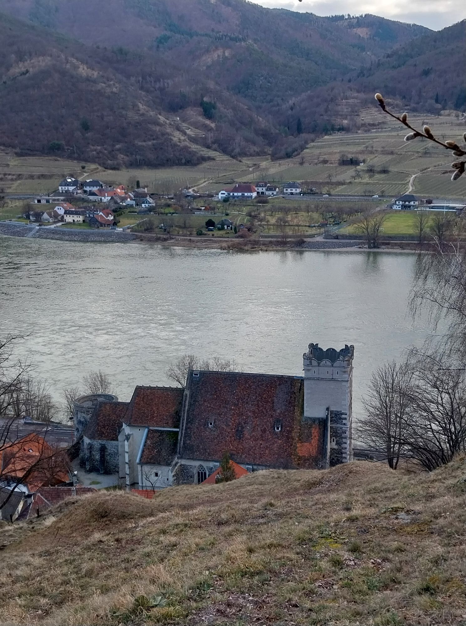
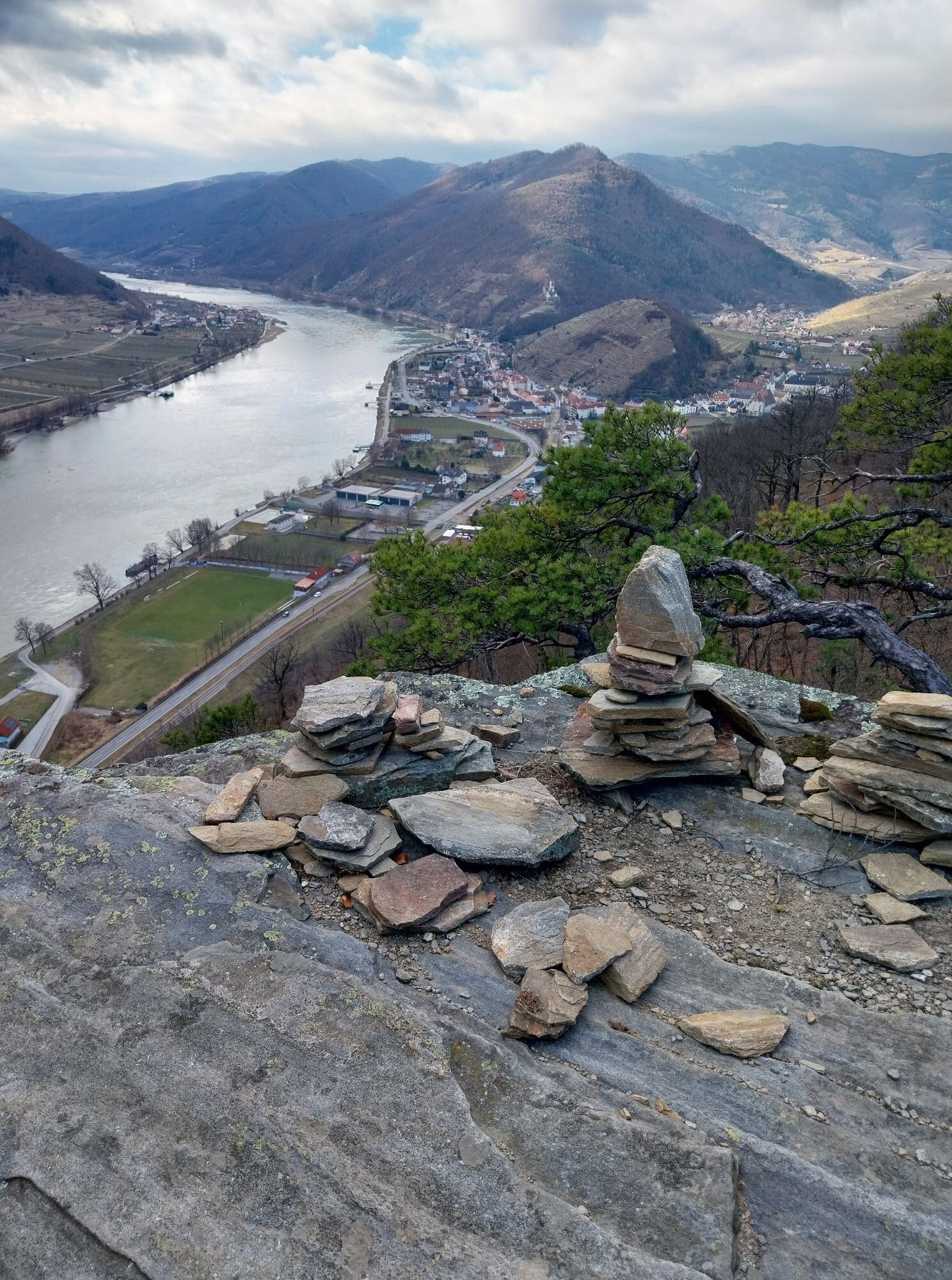
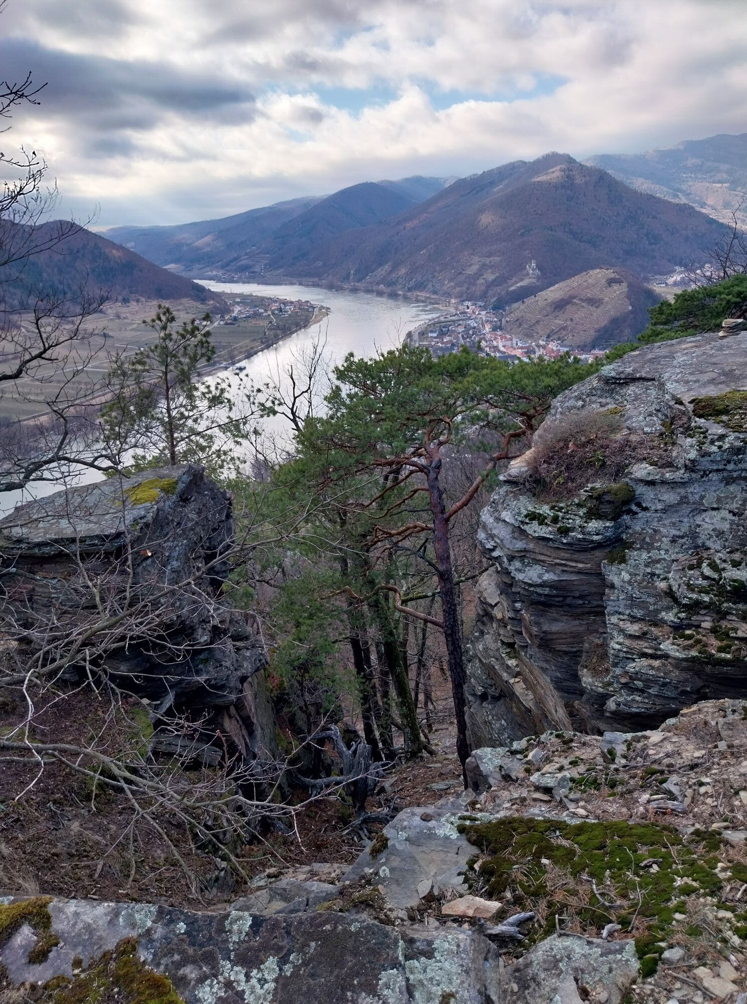
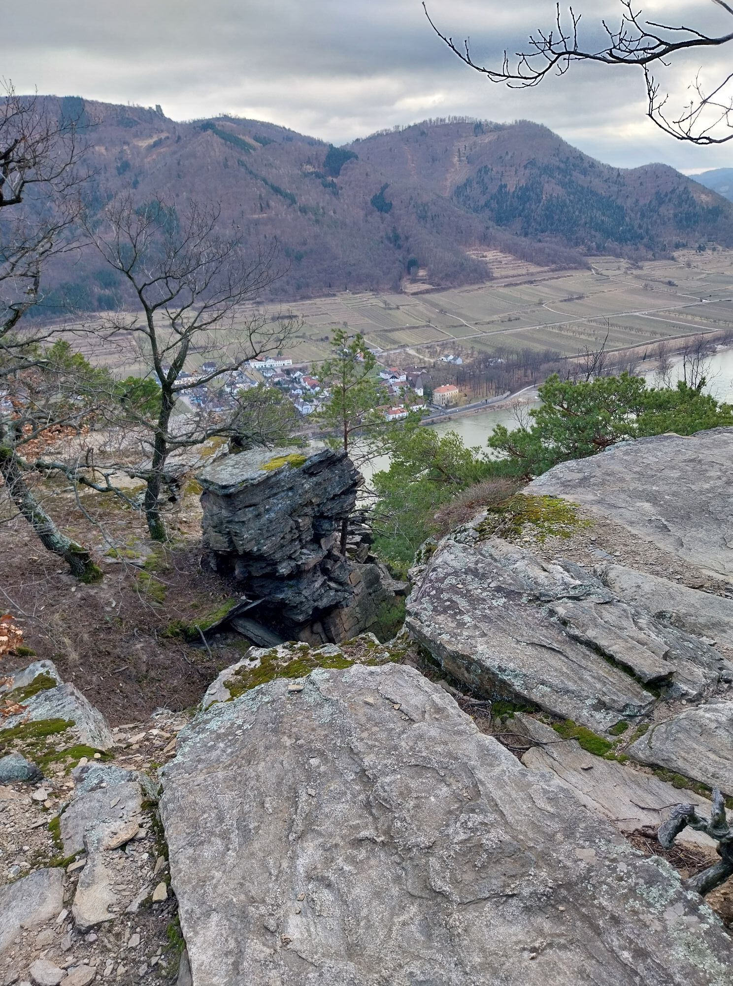
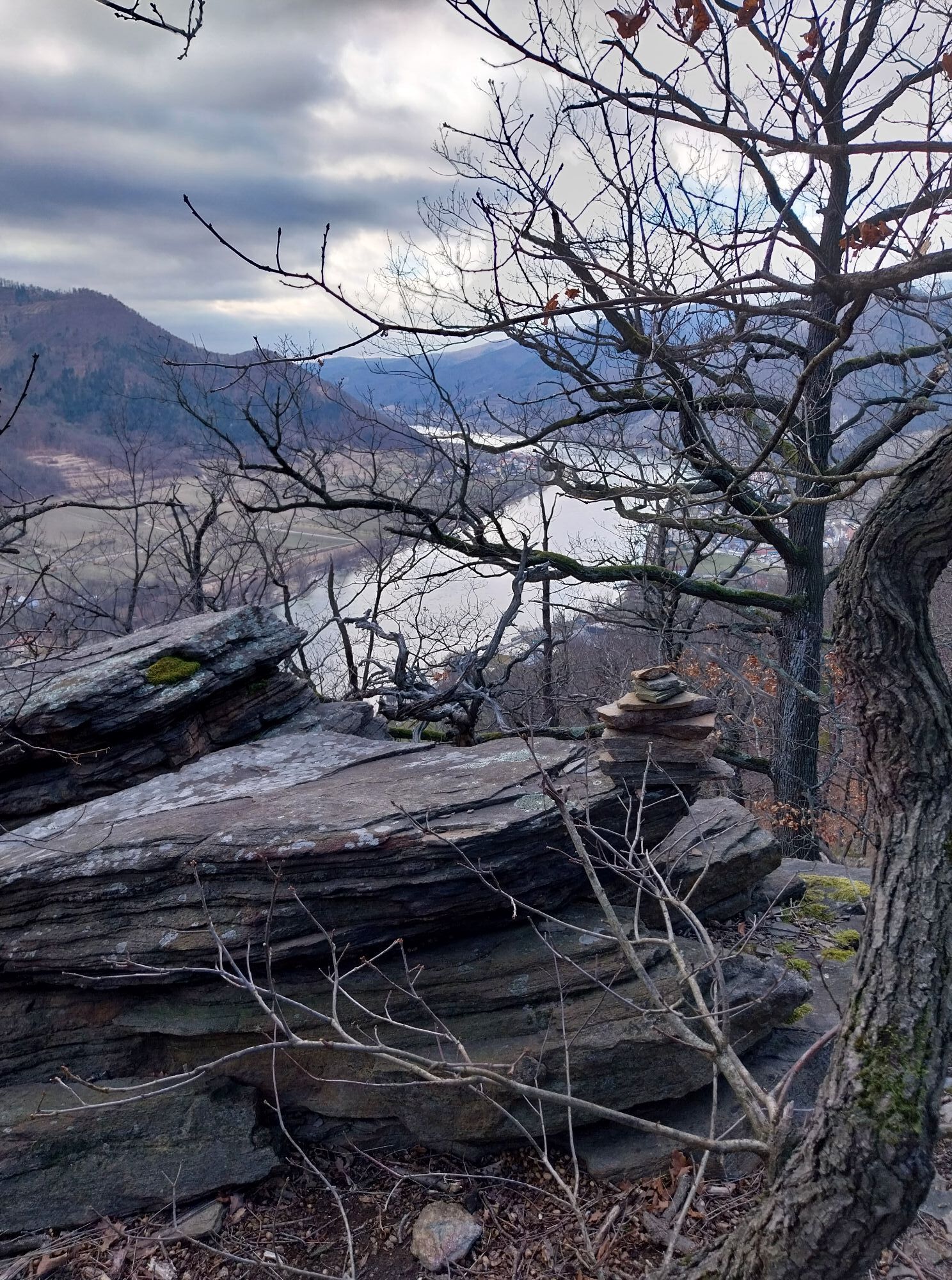
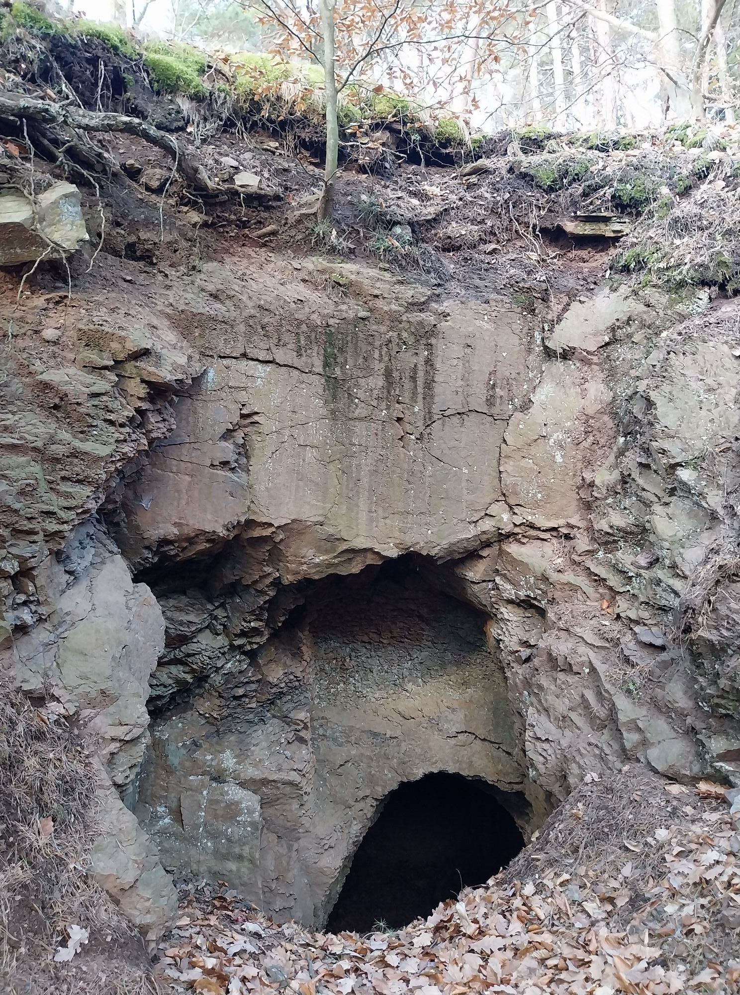
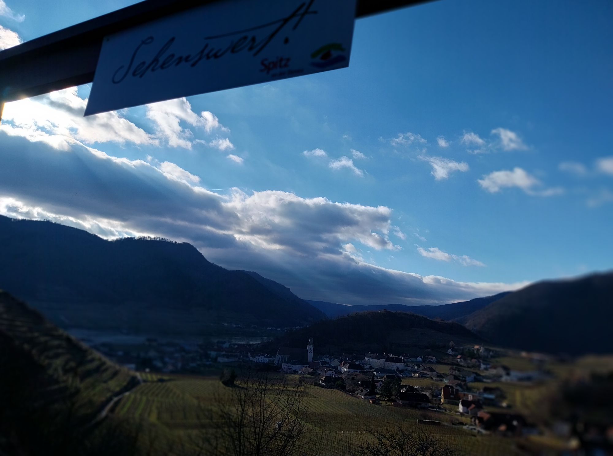

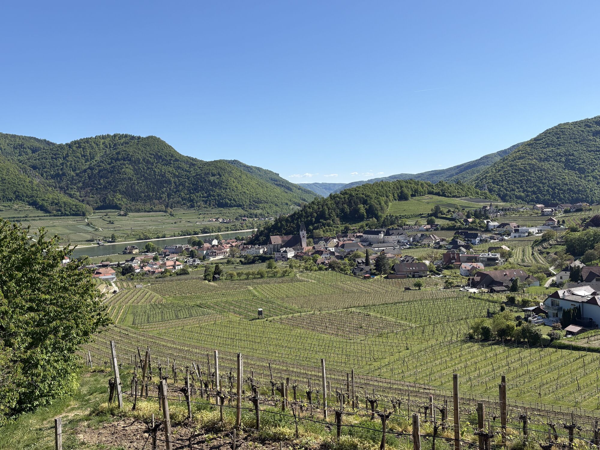
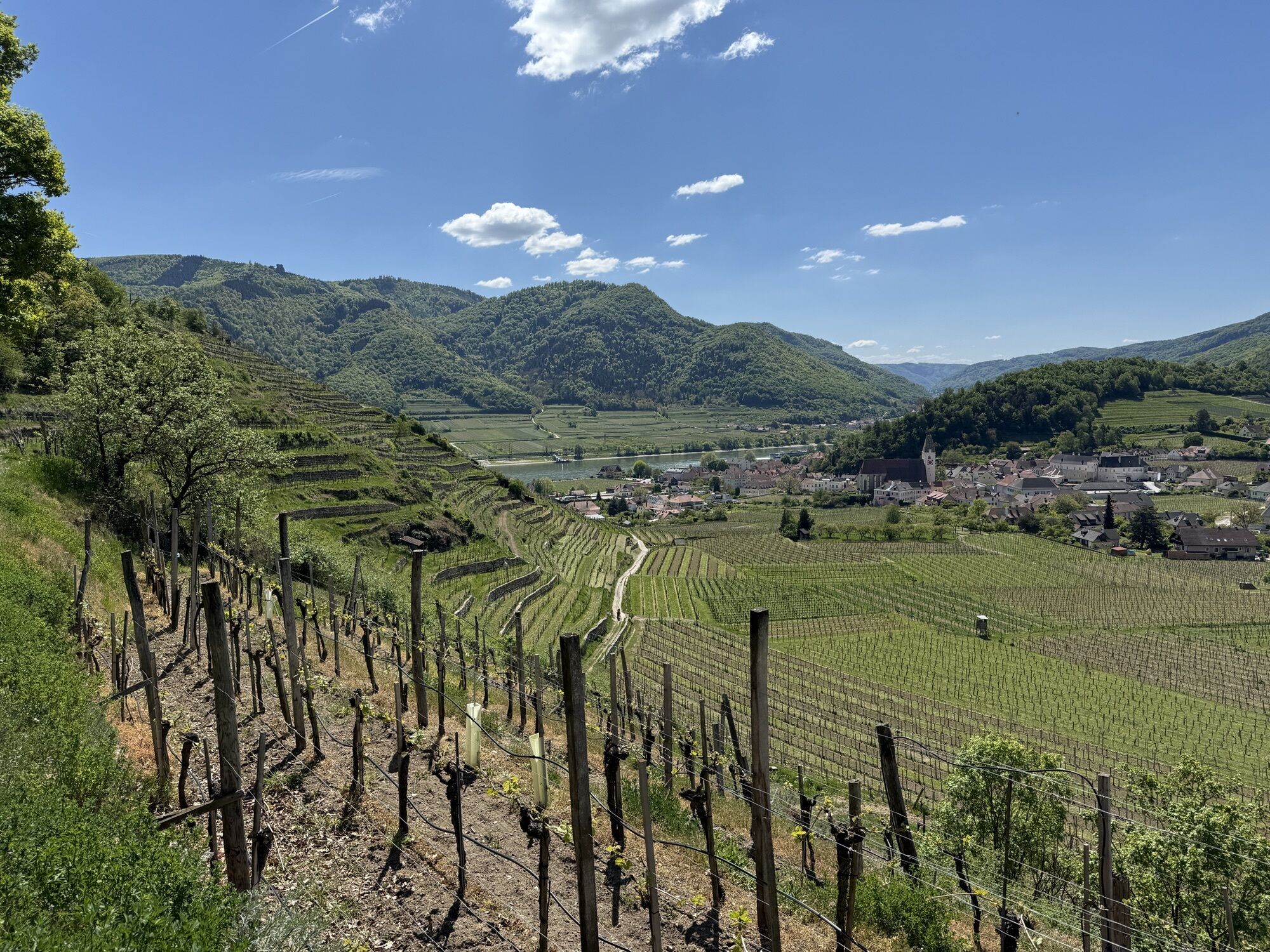


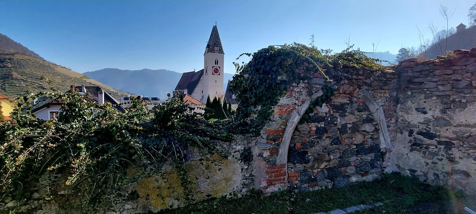
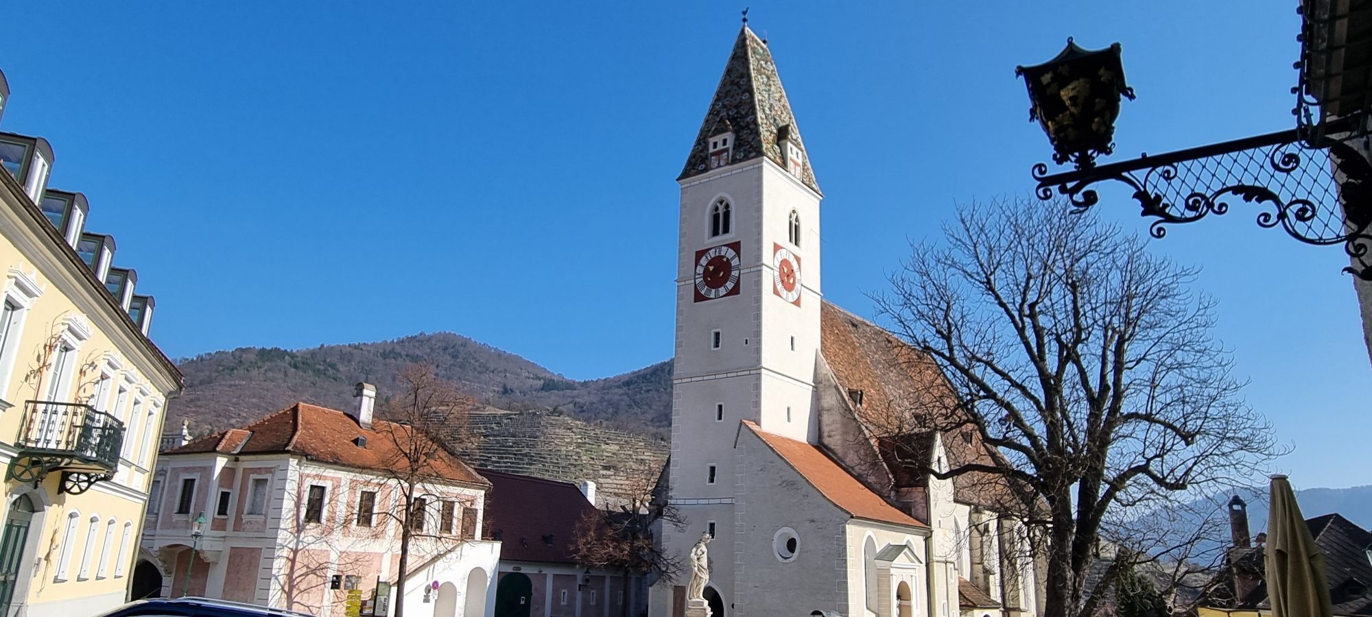
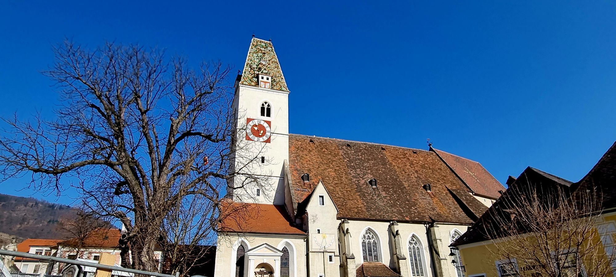
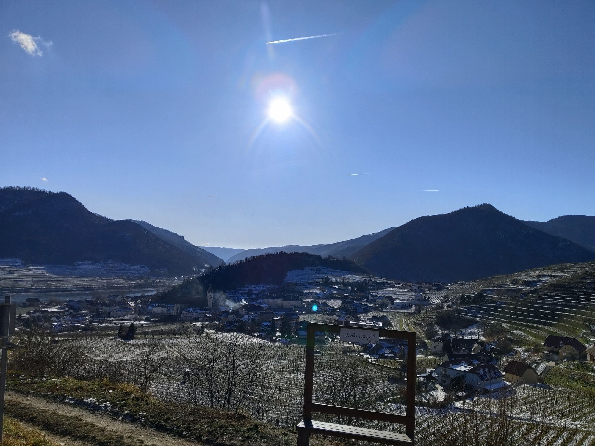

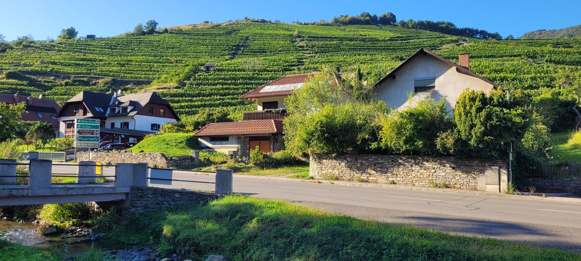
<p>The Water Spirit Trail is approximately 6–7 km long and can be covered in about 2–2.5 hours walking time, with about 200 meters of elevation gain.</p>

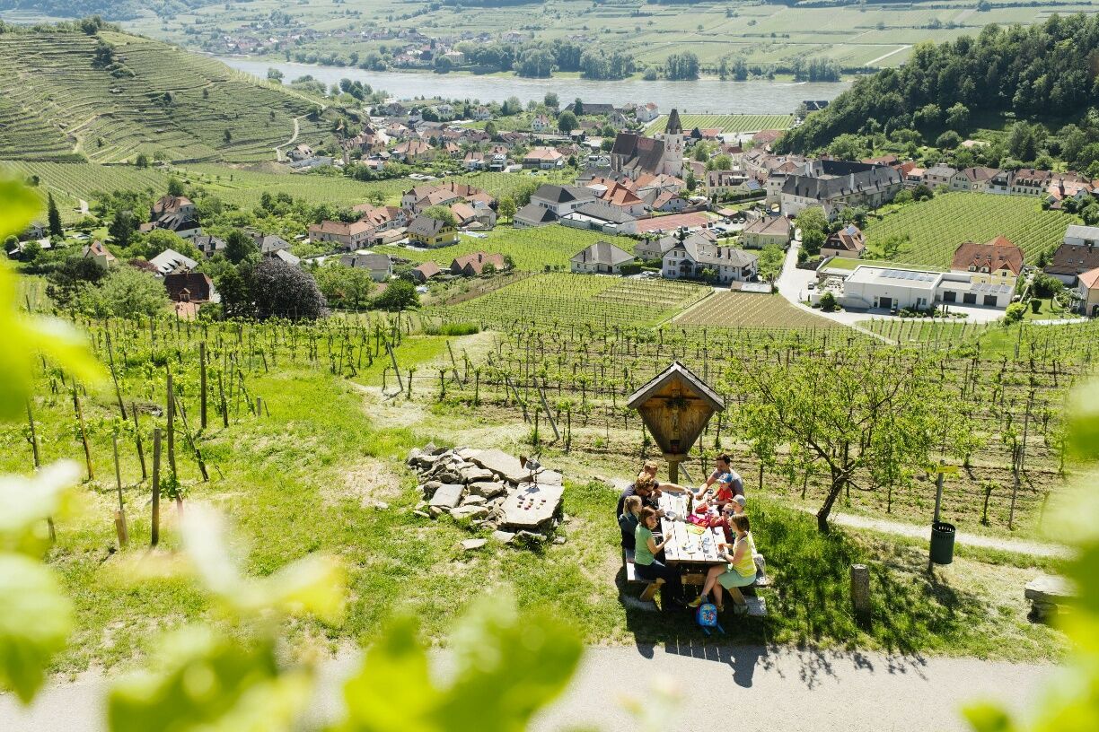
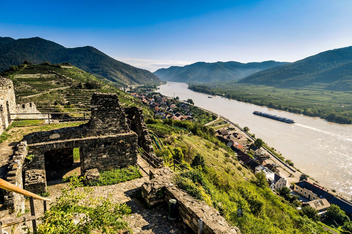
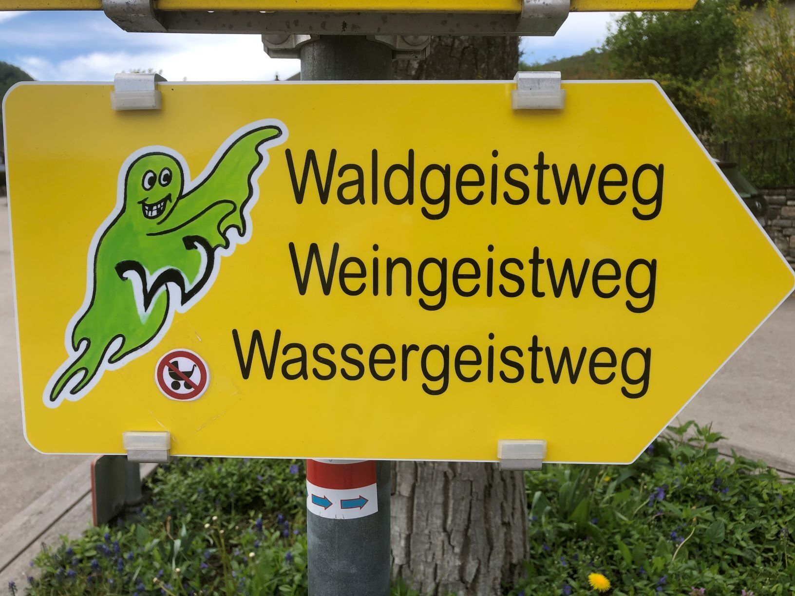

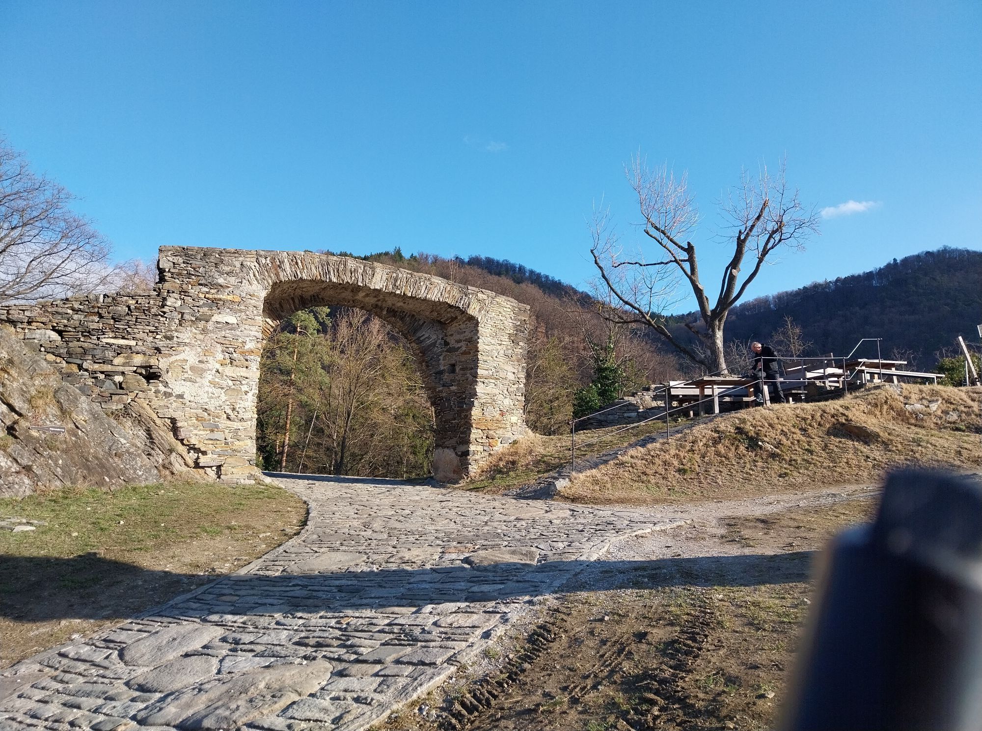
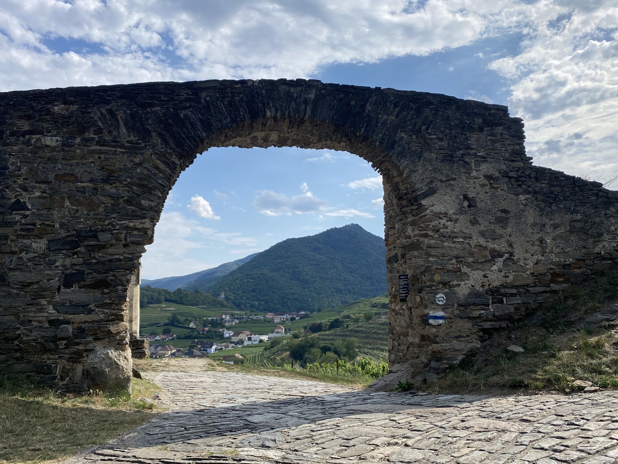
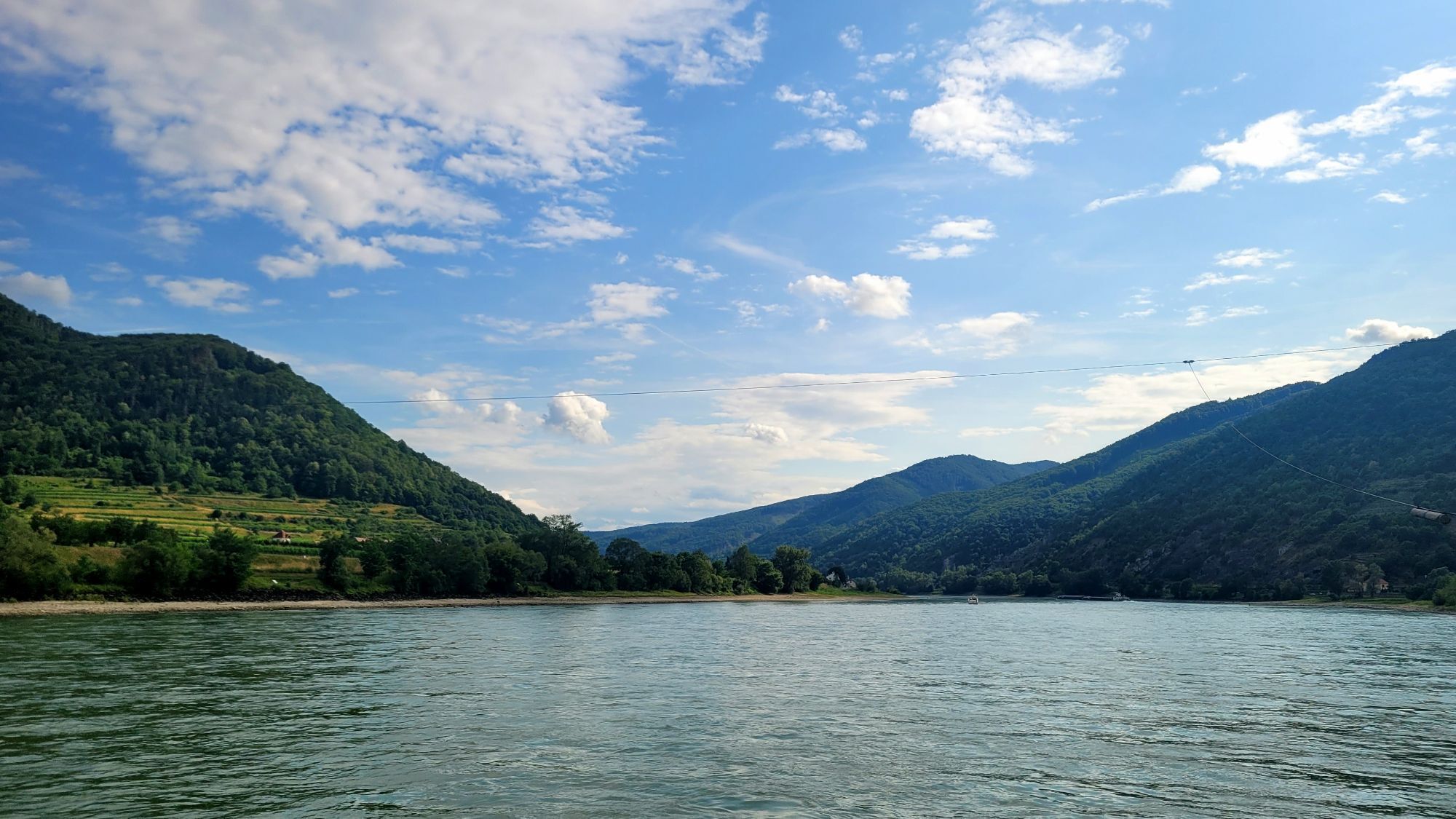
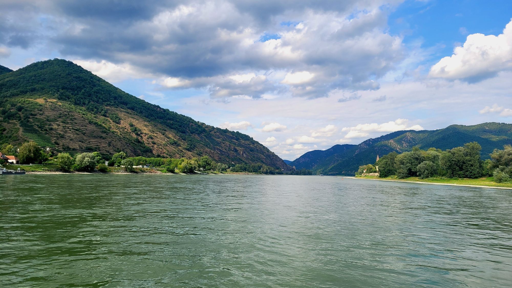
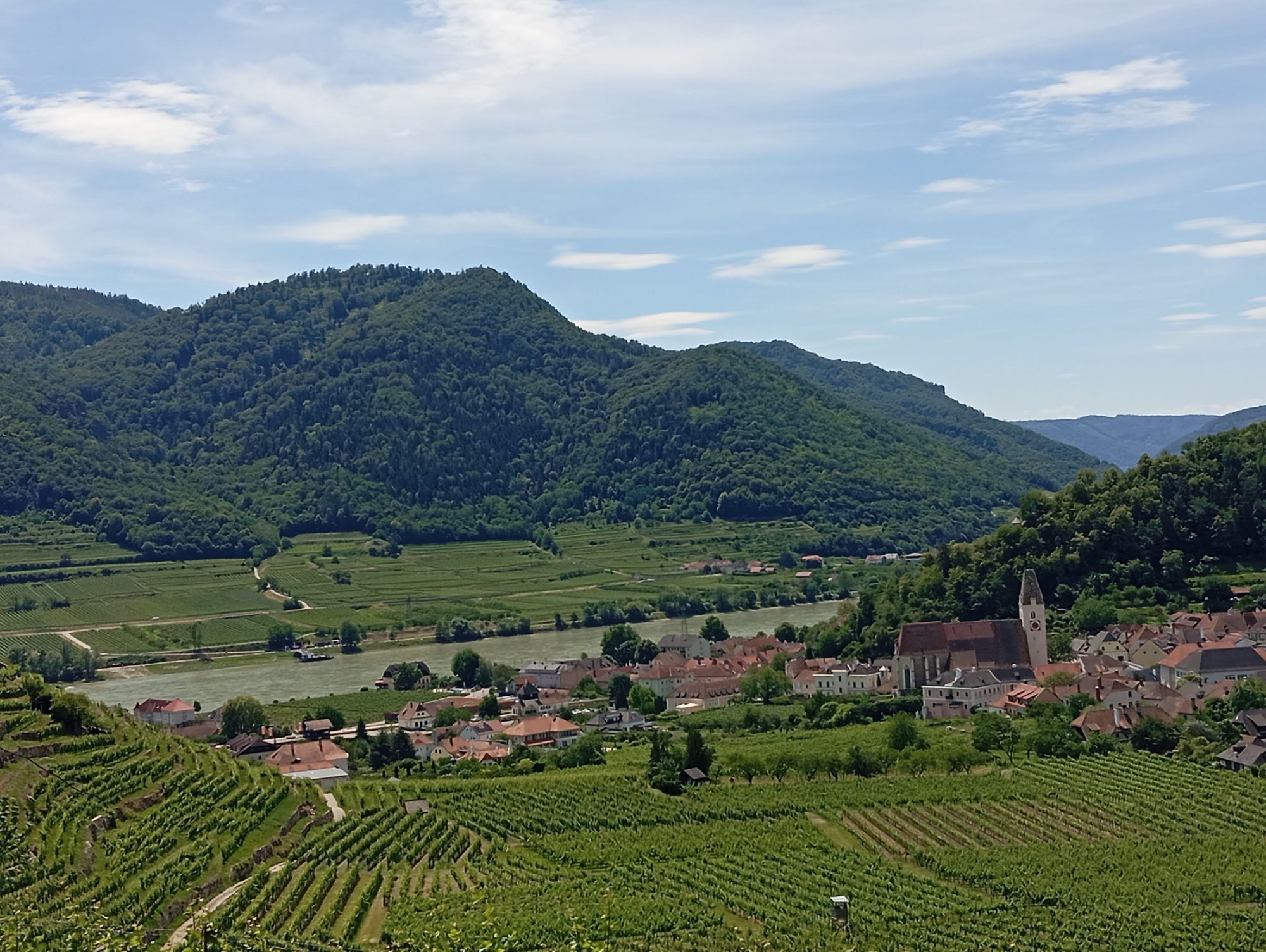
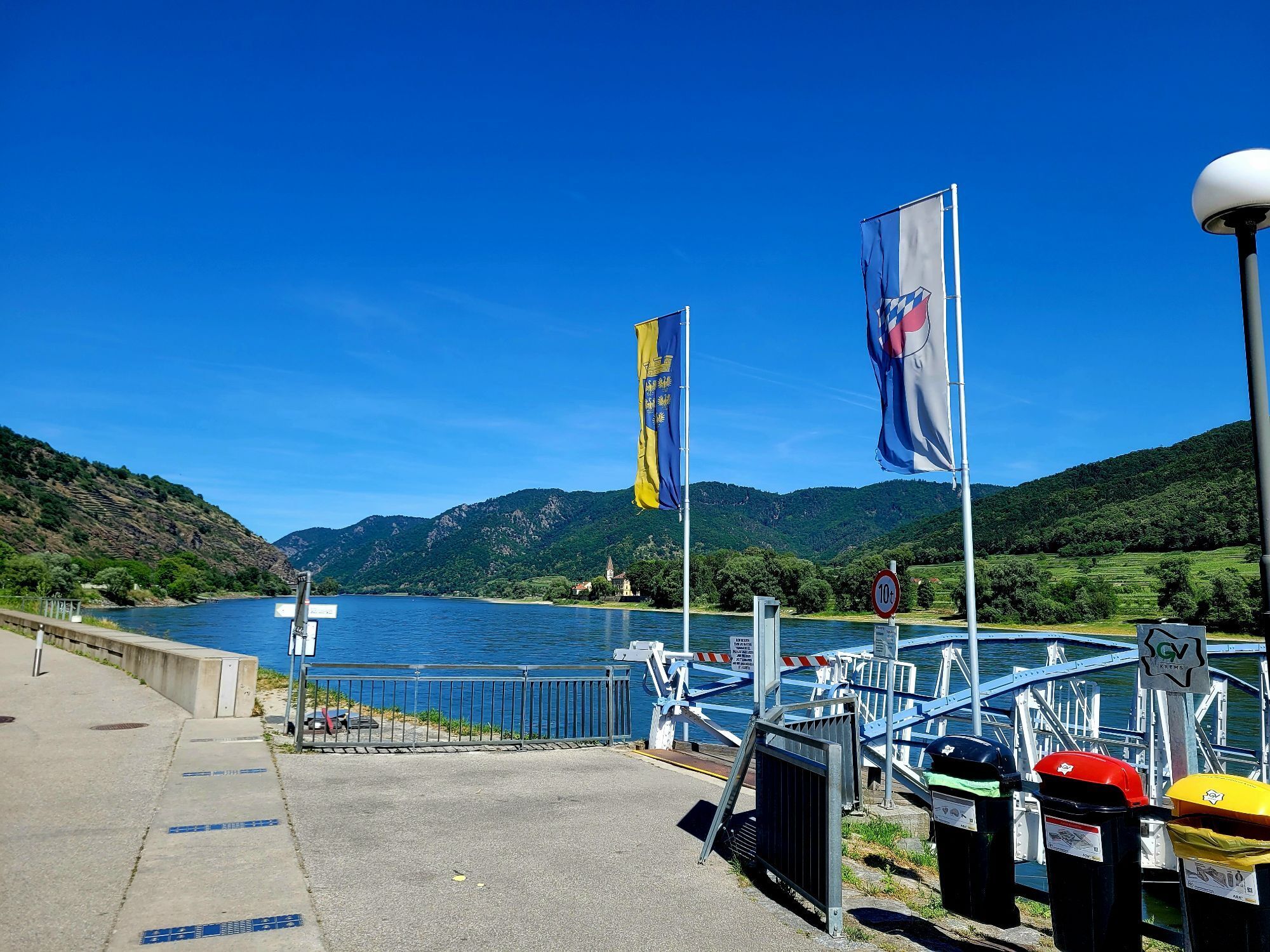
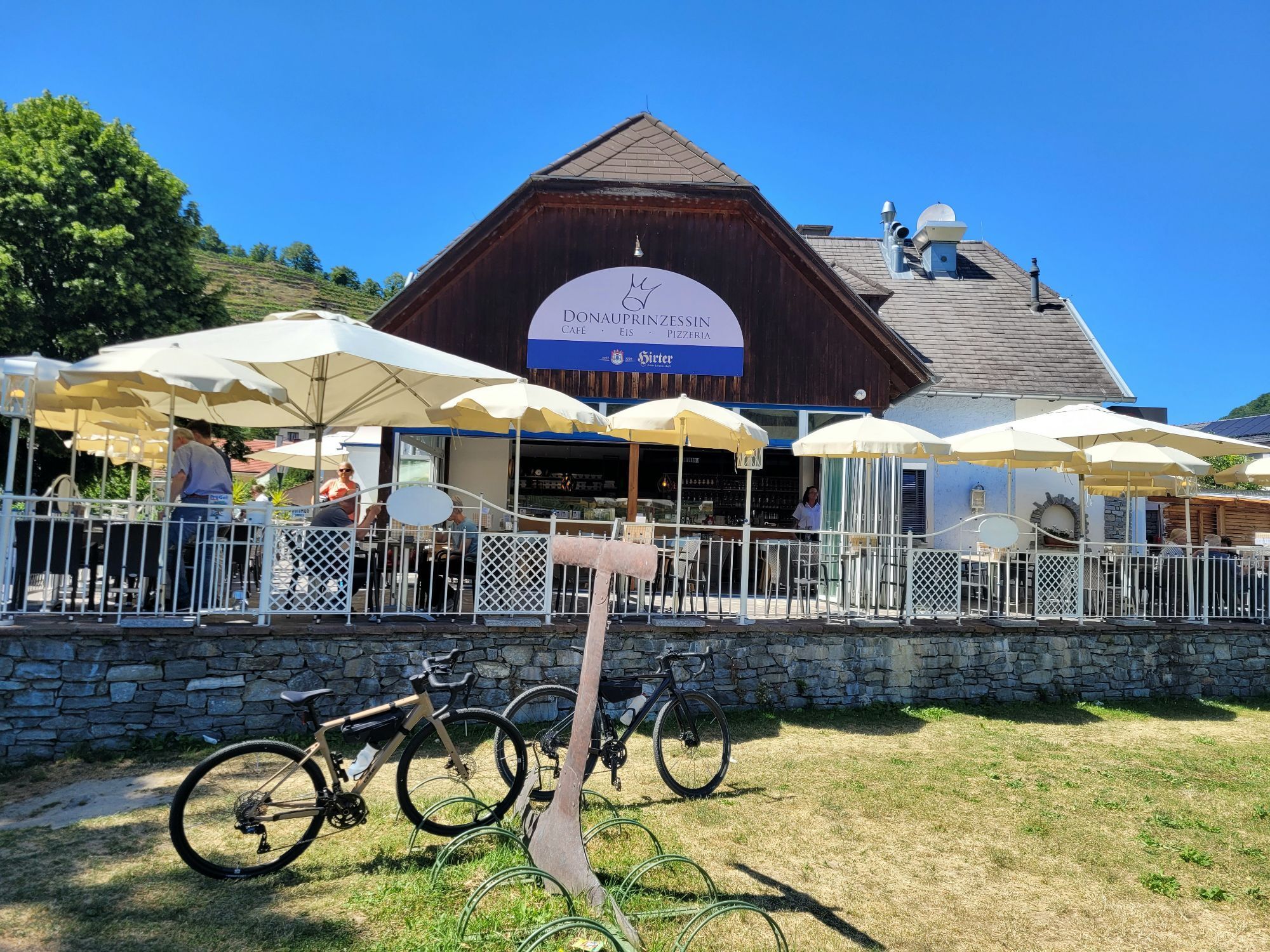
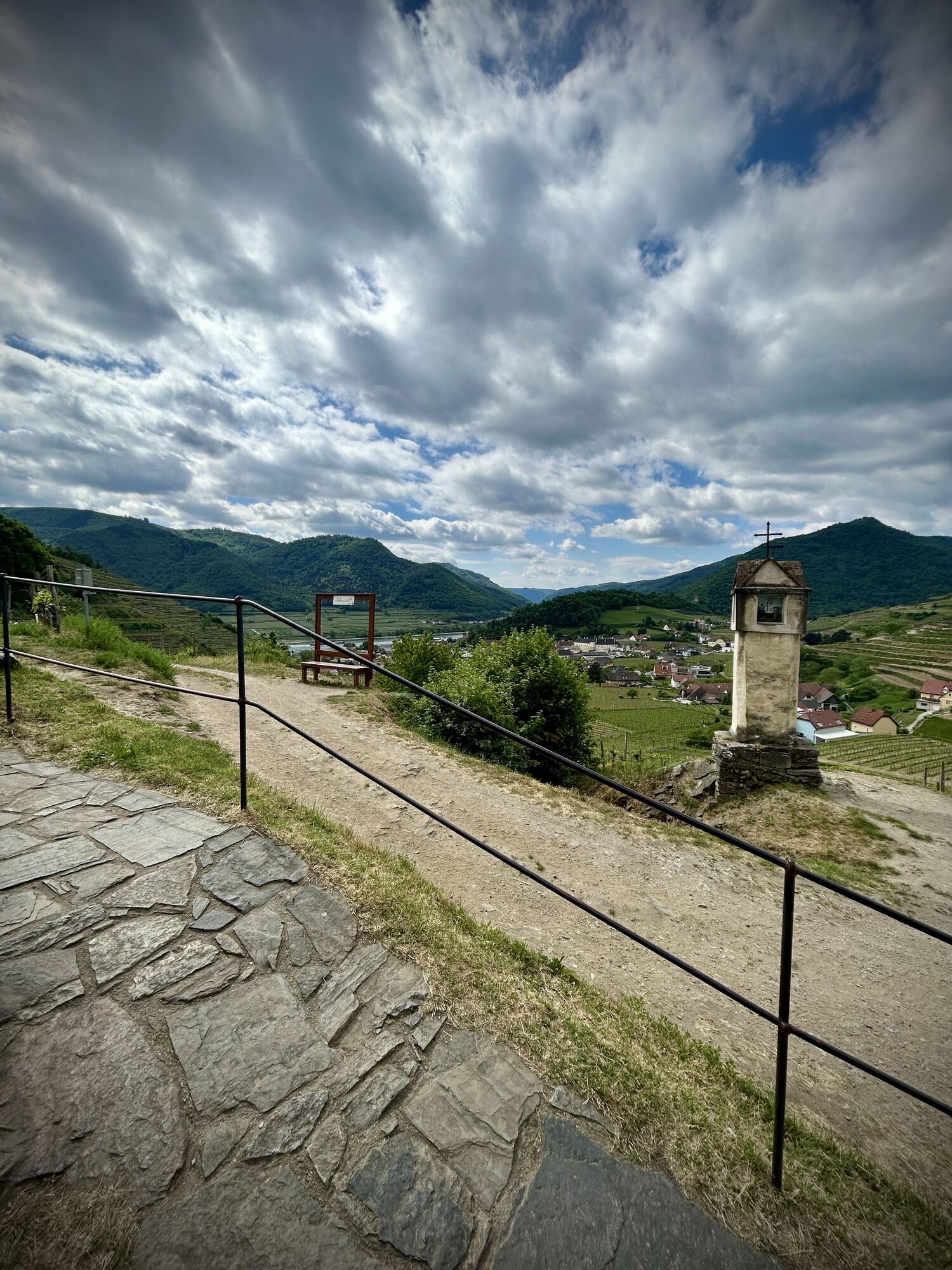
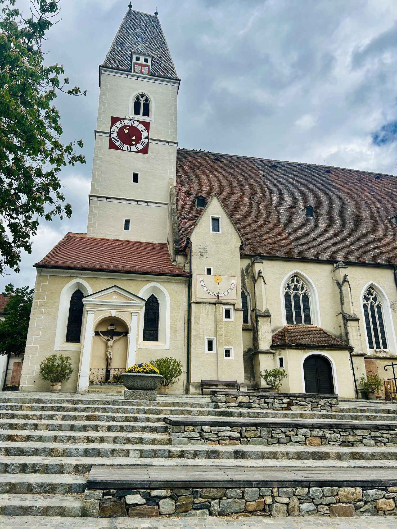
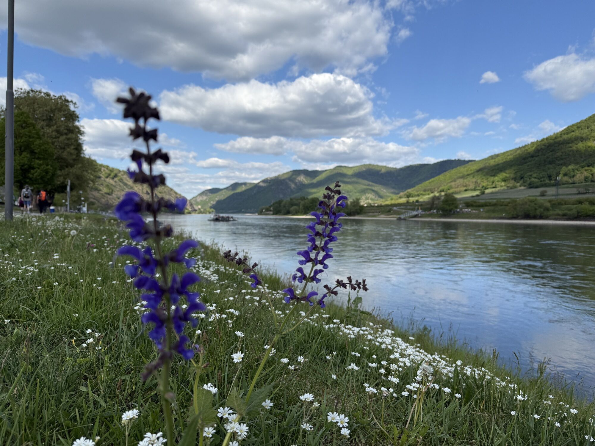
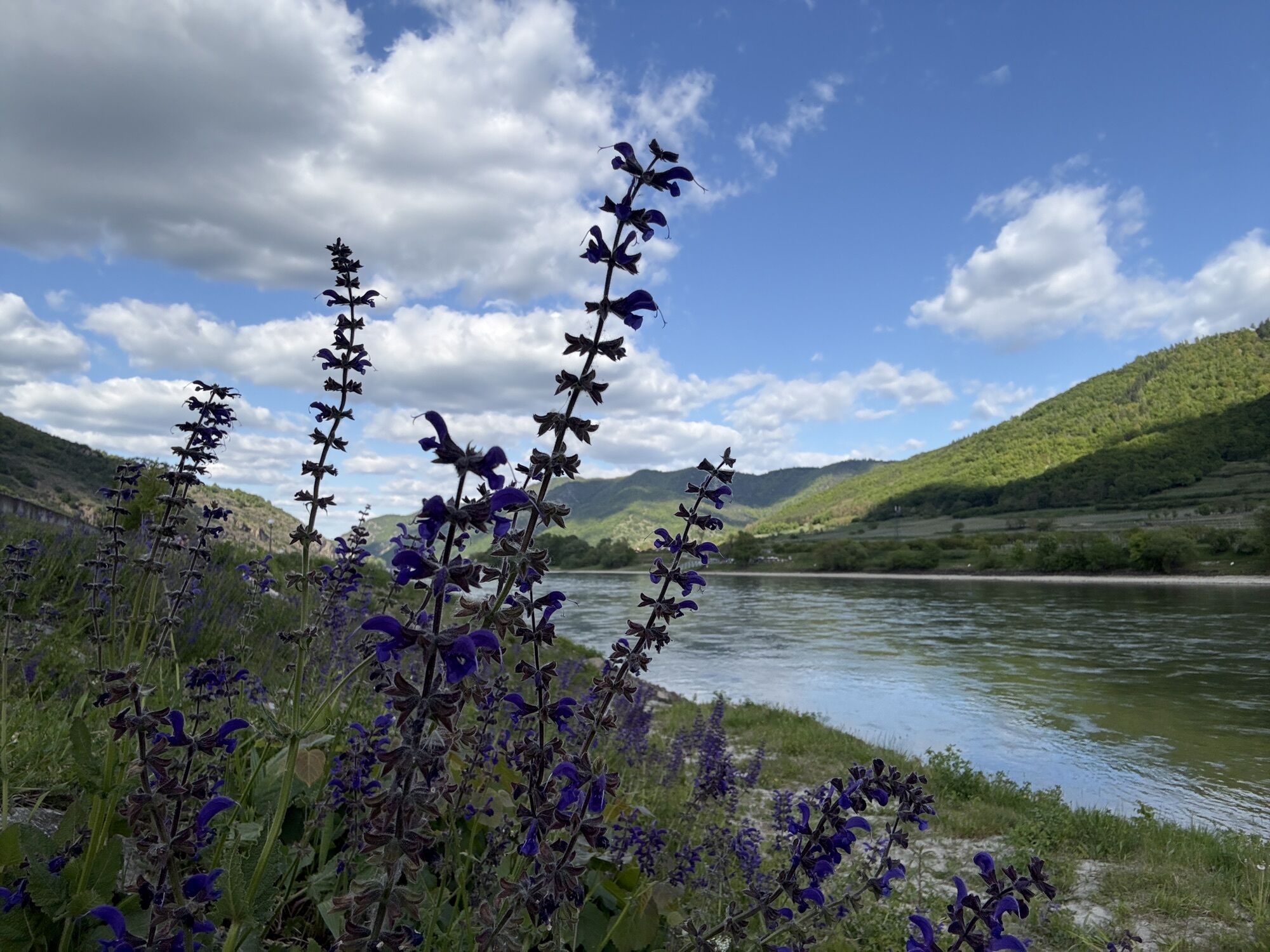
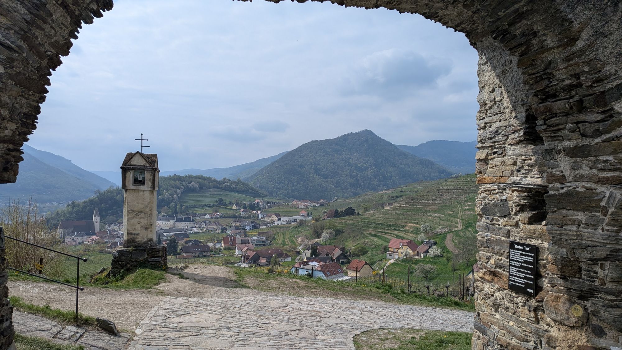
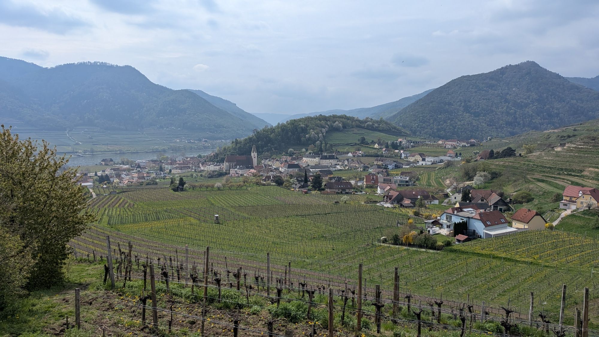
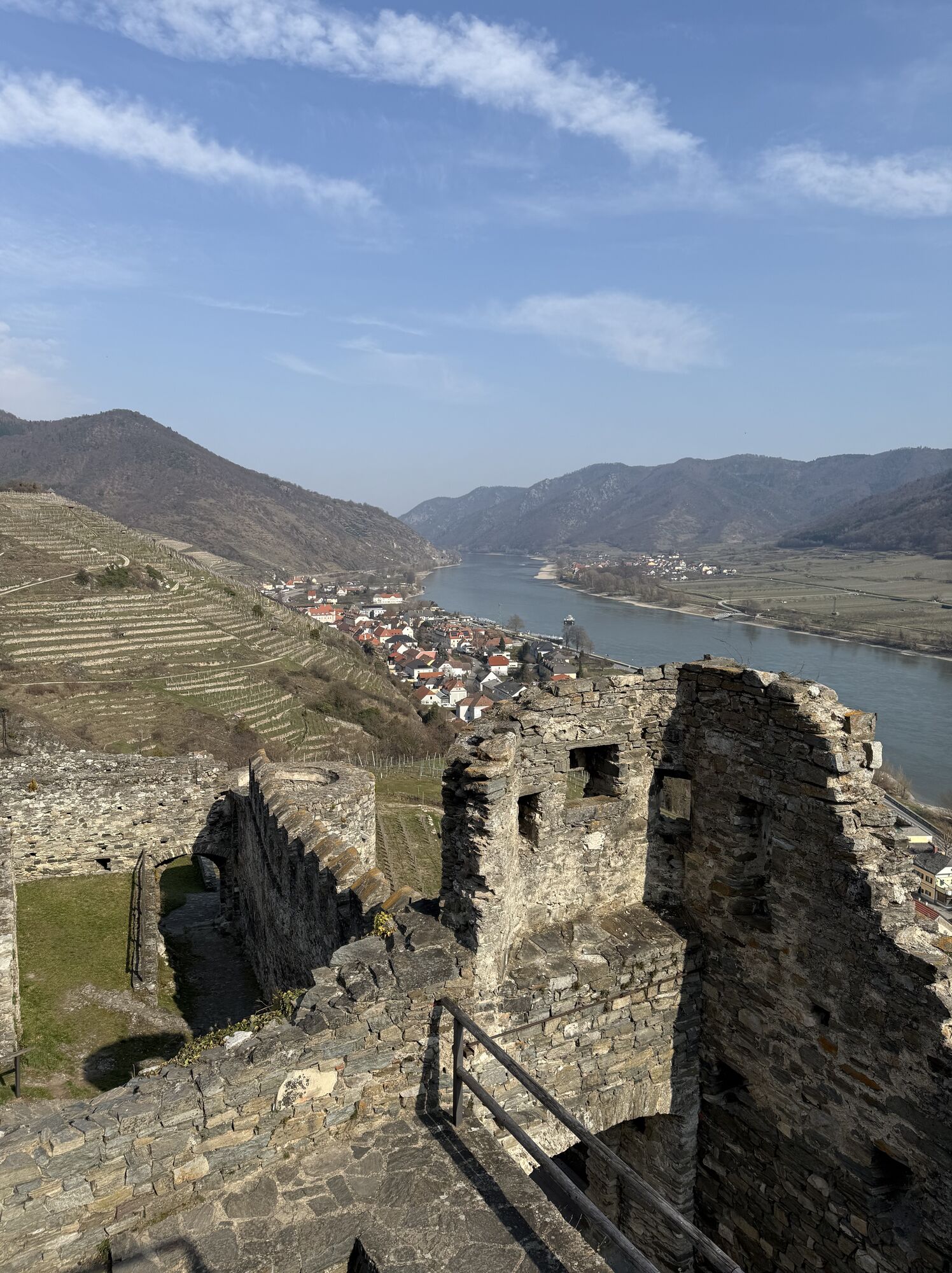
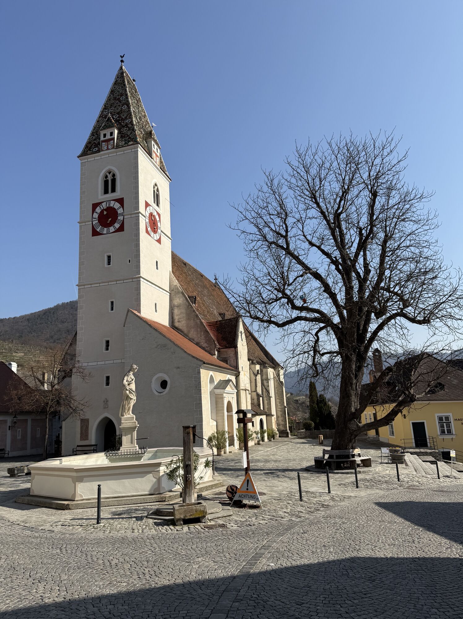
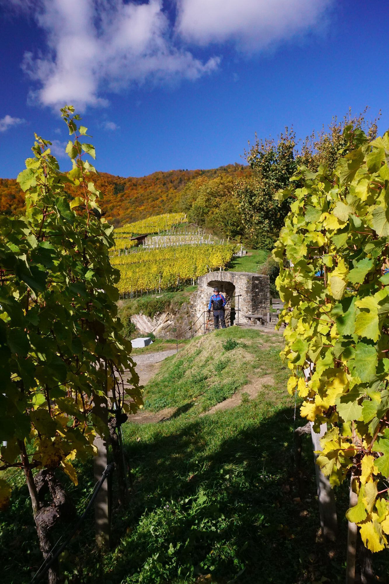
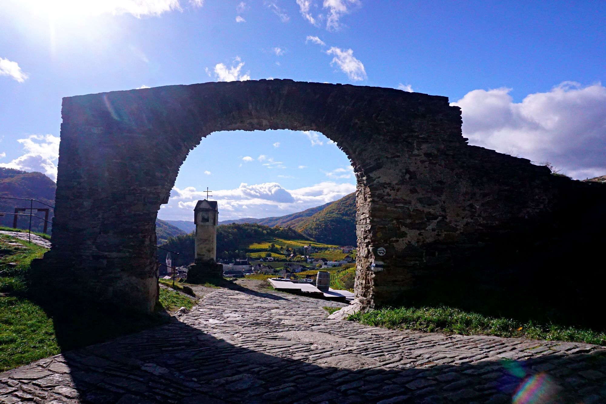
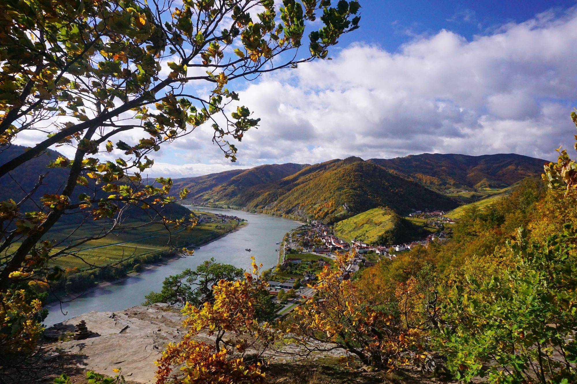
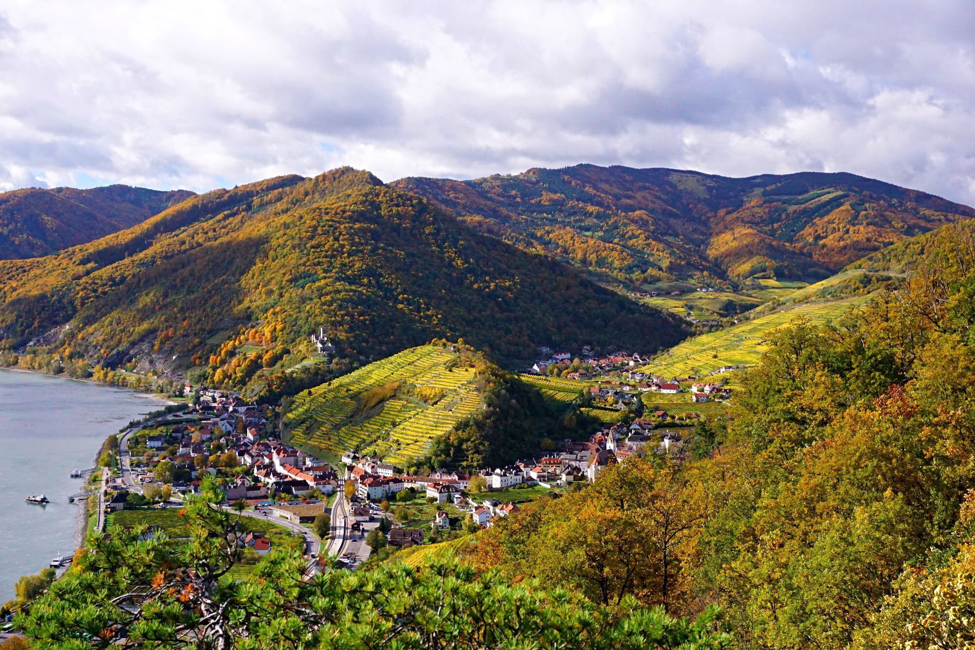
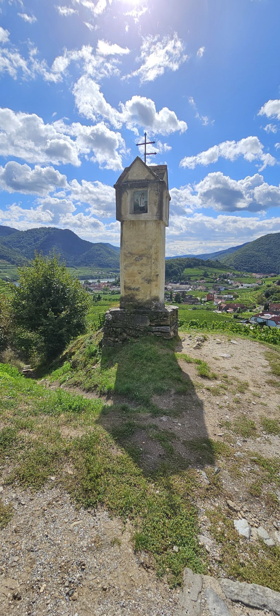
<p>We head northwards from the church square. Shortly after the first stamp box at the threshing floor, we turn right to the Hiatahütte. From there, we climb through the "Bear Gorge" to the Red Gate. After passing through the gate, we hike down to the right into the mystical Miesling Valley. There we follow the stream towards the Danube. At the intersection with Kremser Straße, we keep left and go over the parking lot of the Cloister Court and through an underpass below the B3 directly to the Danube promenade. Now we march right and walk for about 1 km upstream against the Danube current. There is much to discover for young and old at the promenade! Before the roundabout, we cross the B3 at the pedestrian crossing and walk through the district of Hinterhaus up to the ruins. The descent leads us into the district of Erlahof. There, fun is guaranteed at the Shipping Museum, the playground, or the picnic area. Next to the Spitzer Bach, we return via the weir to the town or back to the Danube.</p>
<p>Please note the following tips and information so you can enjoy your hike:</p>stay on the marked pathswear hiking/mountaineering shoesuse hiking polesrainwear is always advisablecarry enough drinking waterplease do not leave your trash on the trailrespect the sensitive habitats of plants and animalstake a breakthe indicated walking times are approximate
<p>Directly to Spitz on the B3.</p>
<p>From Melk or Krems, take bus 715 to Spitz to the stop "Donau Fähre (Bundesstraße)", then walk 7 minutes to the parish church. Here is the <a href="www.nms-mautern.at/images/VORneu/Lini... schedule</a>.</p>
<p>There are plenty of parking spaces available at the Danube promenade in Spitz.</p>
Verantwortlicher für den Inhalt dieser Tour
Wachau-Nibelungengau-Kremstal
Letzte Aktualisierung: 31.10.2025
TIP: If you want to spend more time on the Danube, do not cross the B3 at the pedestrian crossing, but walk a bit further to the Danube beach of Spitz - pure holiday feeling!
Webové kamery z prehliadky


Obľúbené výlety v okolí
-
4,4
Welterbesteig Wachau 02: Dürnstein-Weißenkirchen
svetlodiaľková pešia trasa 15,9 km -
4,5
Welterbesteig Wachau 03: Weißenkirchen-Spitz
svetlodiaľková pešia trasa 10,4 km -
4,7
Welterbesteig Wachau 01: Krems-Dürnstein
svetlodiaľková pešia trasa 12,3 km -
4,8
Vogelbergsteig -Kanzel- Fesselhütte - Ruine Dürnstein zum Heurigen in Furth
strednáTuristika 7,59 km -
4,7
Wachau: Seekopf - Hirschwand
strednáTuristika 10,4 km -
4,7
Rundhöhenwanderweg Weißenkirchen in der Wachau - Schildhütten - Cholerakreuz - Weißenkirchen
svetloTuristika 8,70 km -
4,6
Krems (Welterbesteig) - Dürnstein - Vogelbergsteig - Kanzel - Fesslhütte - Krems
strednáTuristika 18,0 km -
4,6
Maria Langegg - Rote Wand - Hoher Stein - Kastlkreuz
strednáTuristika 11,4 km -
4,6
AGGSTEIN Ruine, Aggstein, Druidentürme und zurück 20241019
strednáTuristika 7,50 km -
4,5
Panoramaweg Weissenkirchen
svetloTuristika 5,04 km
Turistika a stopovanie


Nenechajte si ujsť ponuky a inšpiráciu na ďalšiu dovolenku
Vaša e-mailová adresa bol pridaný do poštového zoznamu.





