







Railway hiking path in winter: Panorama Route Breitenstein-Klamm
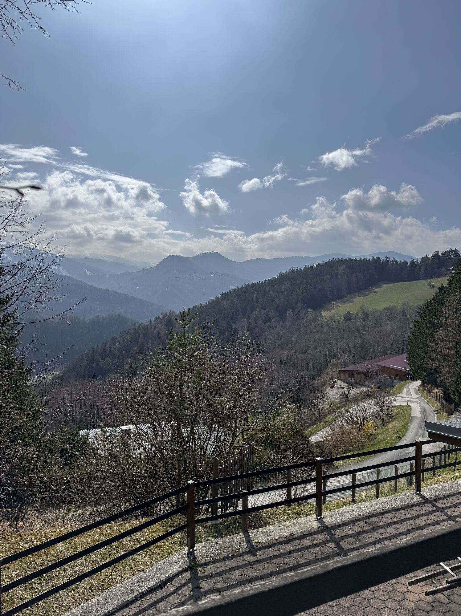
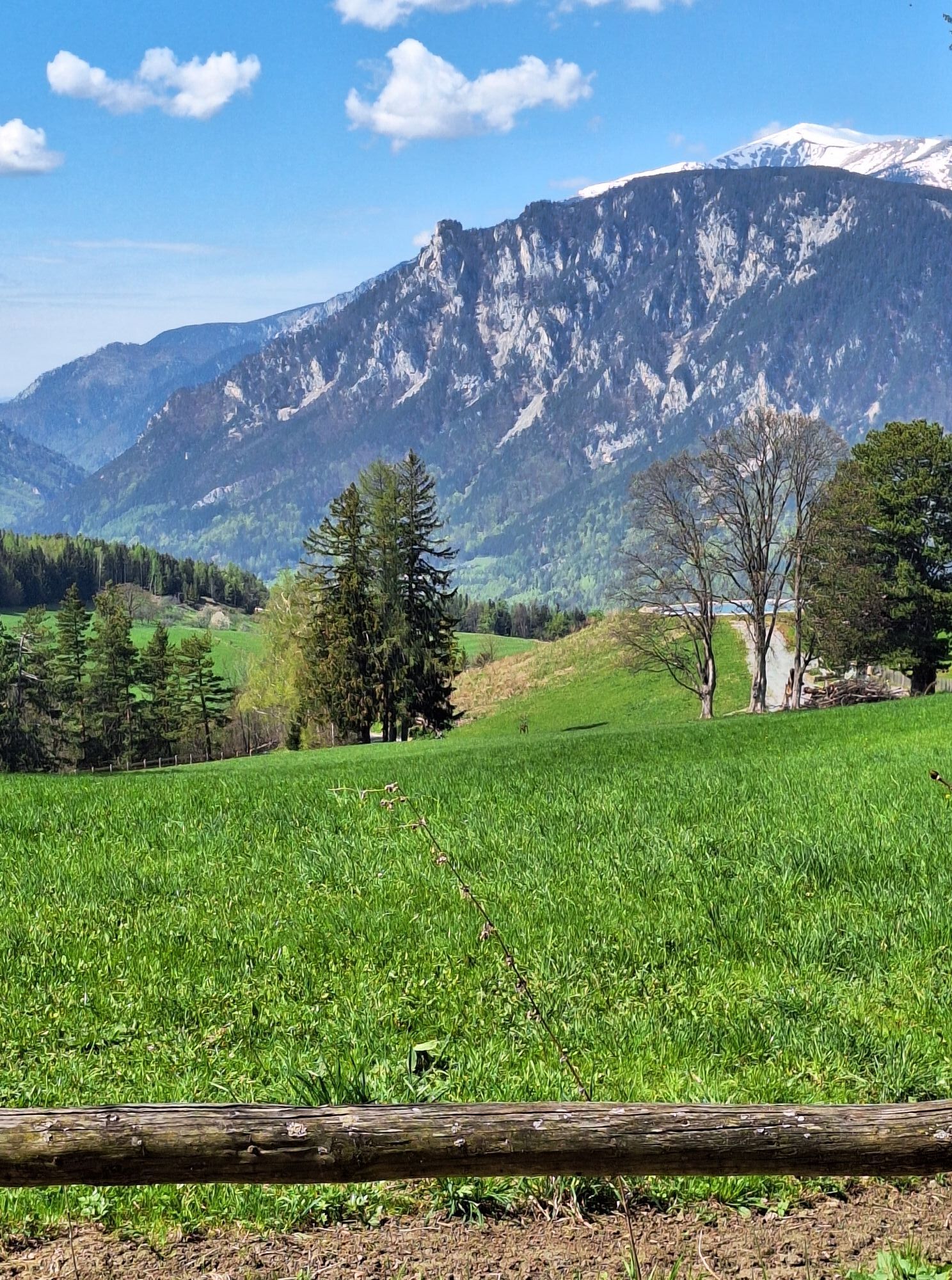
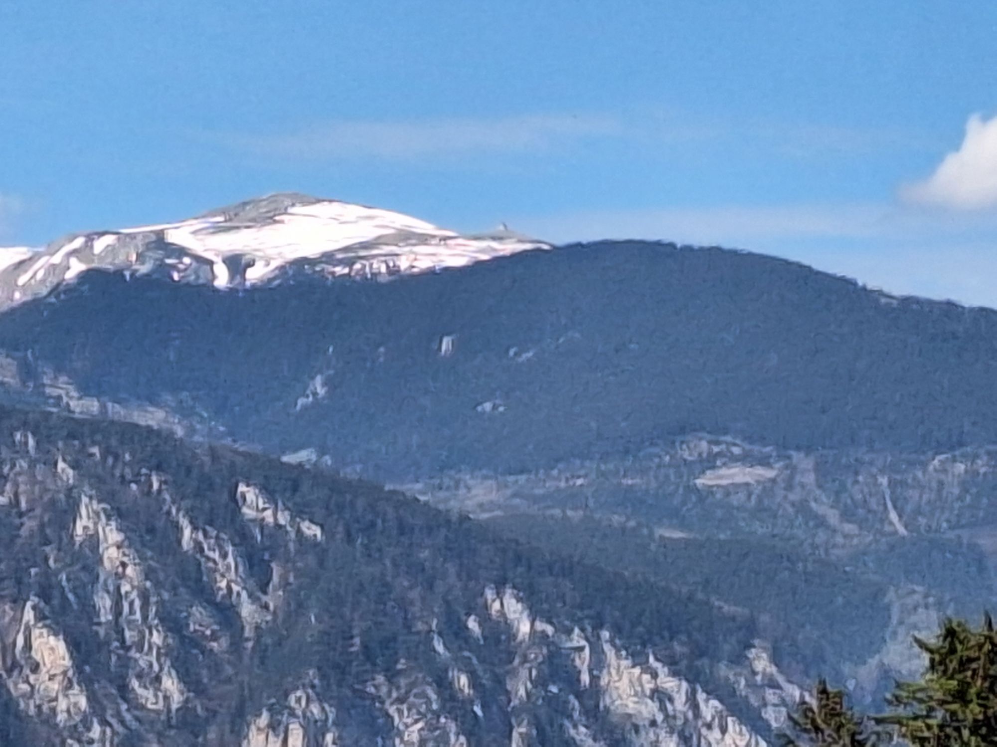
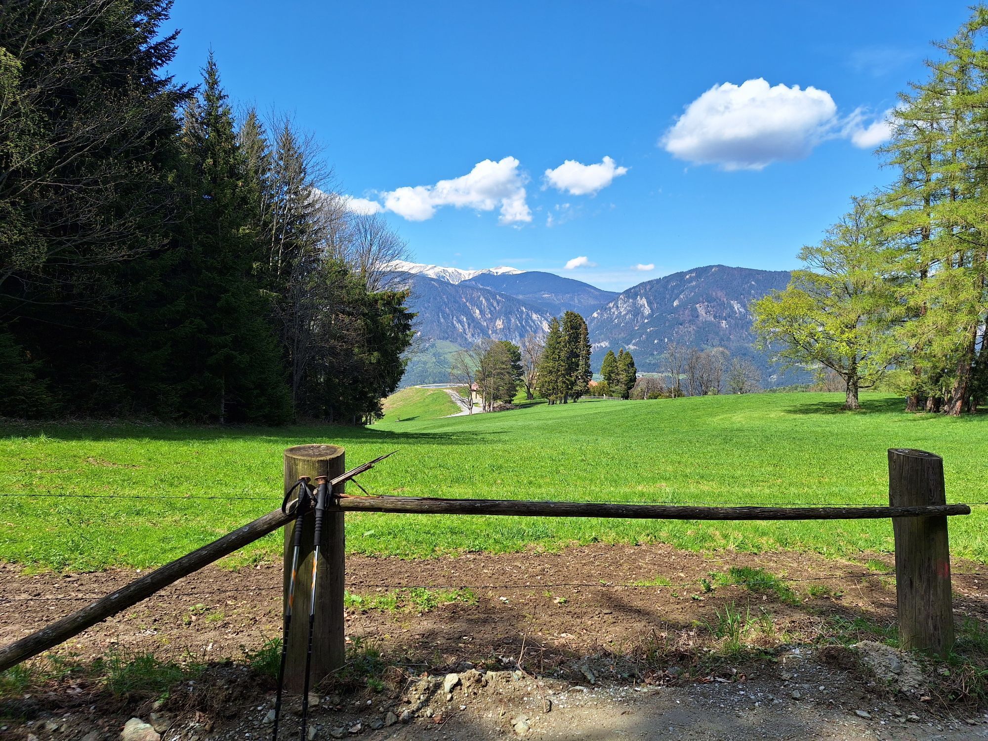
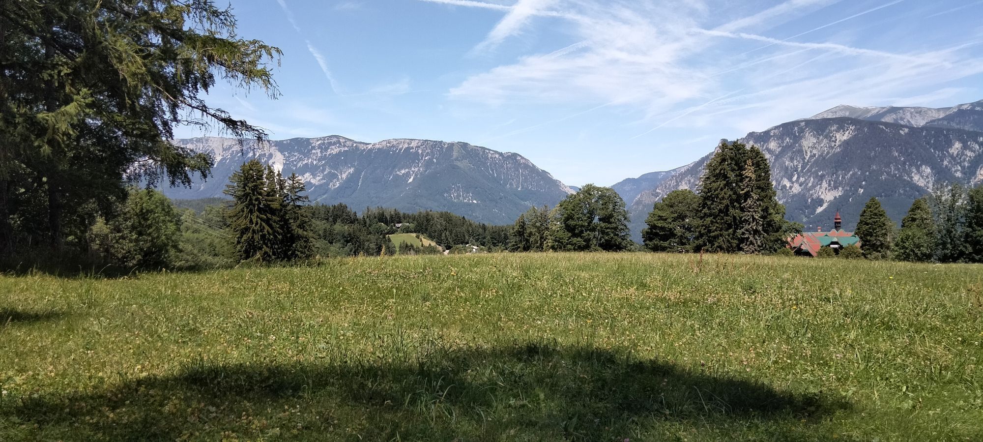
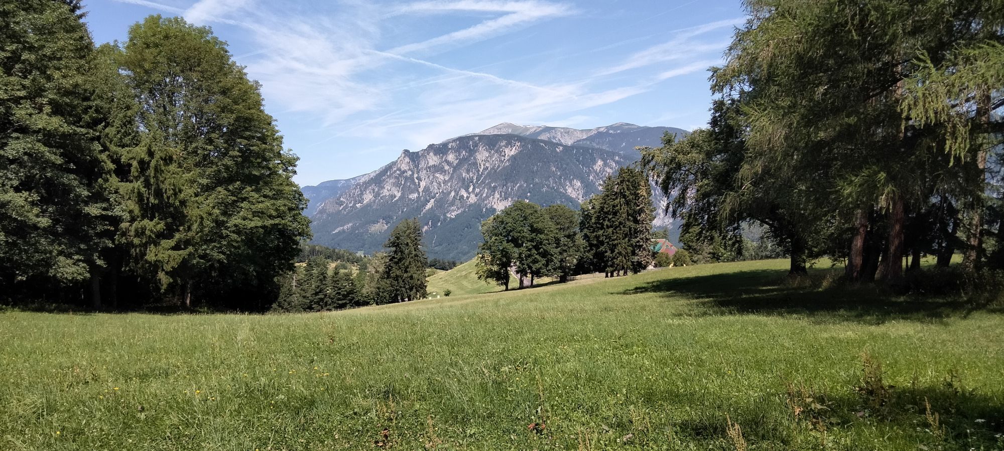
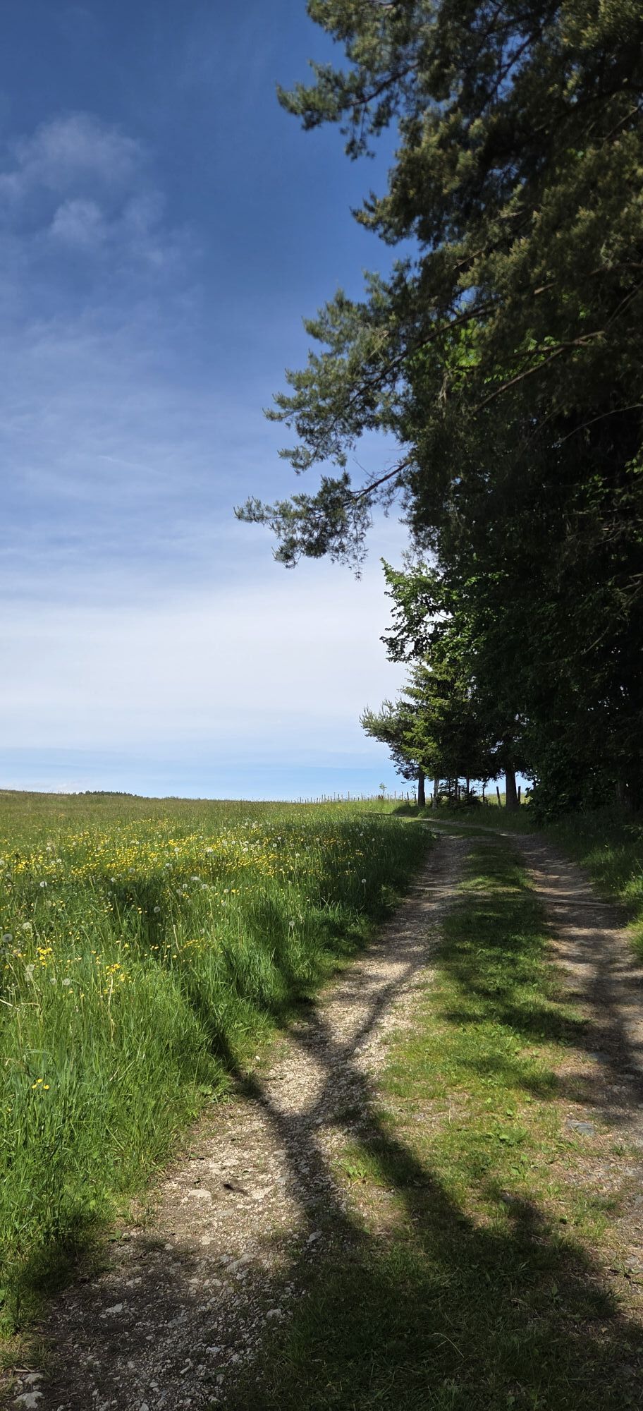
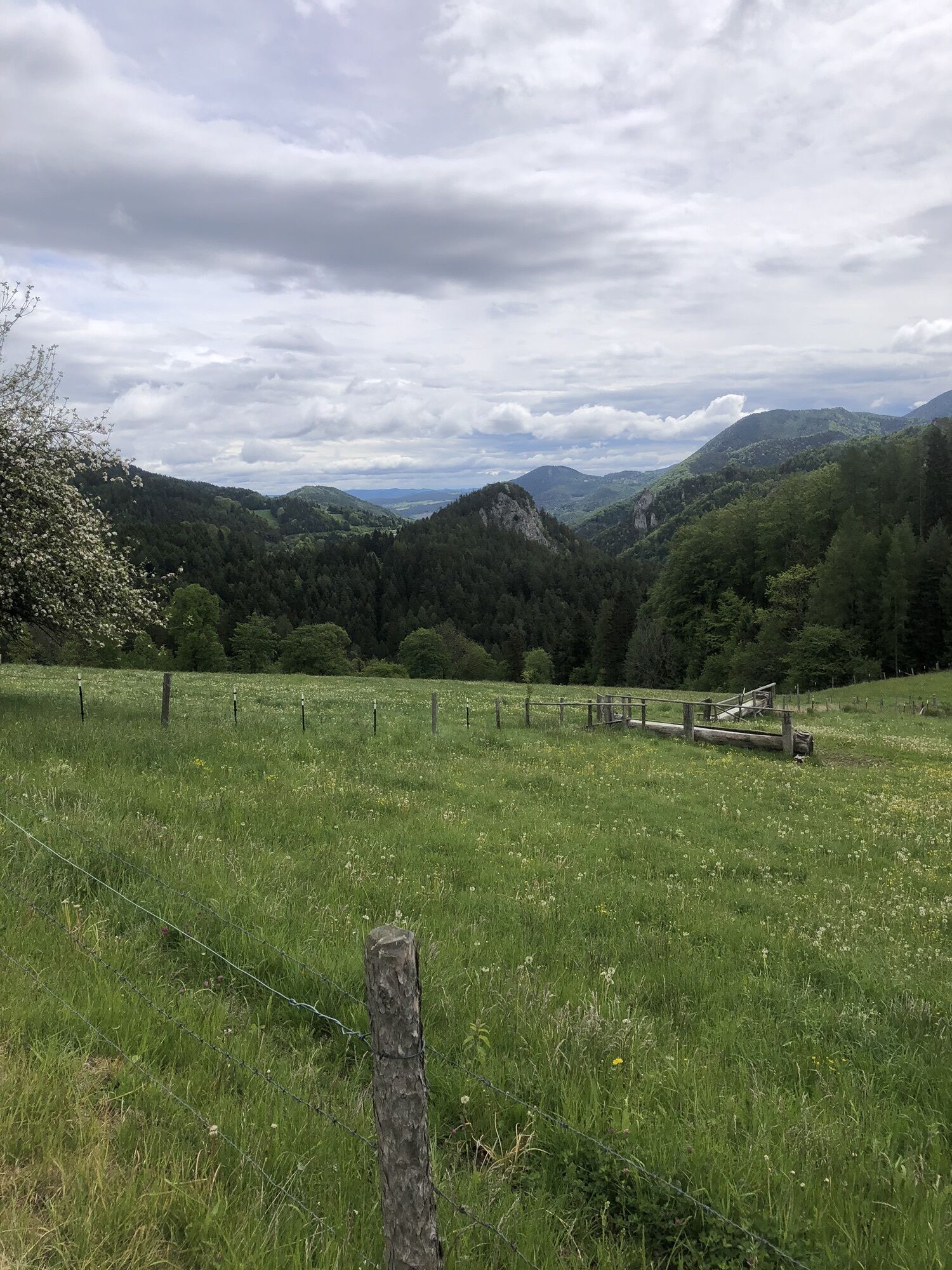
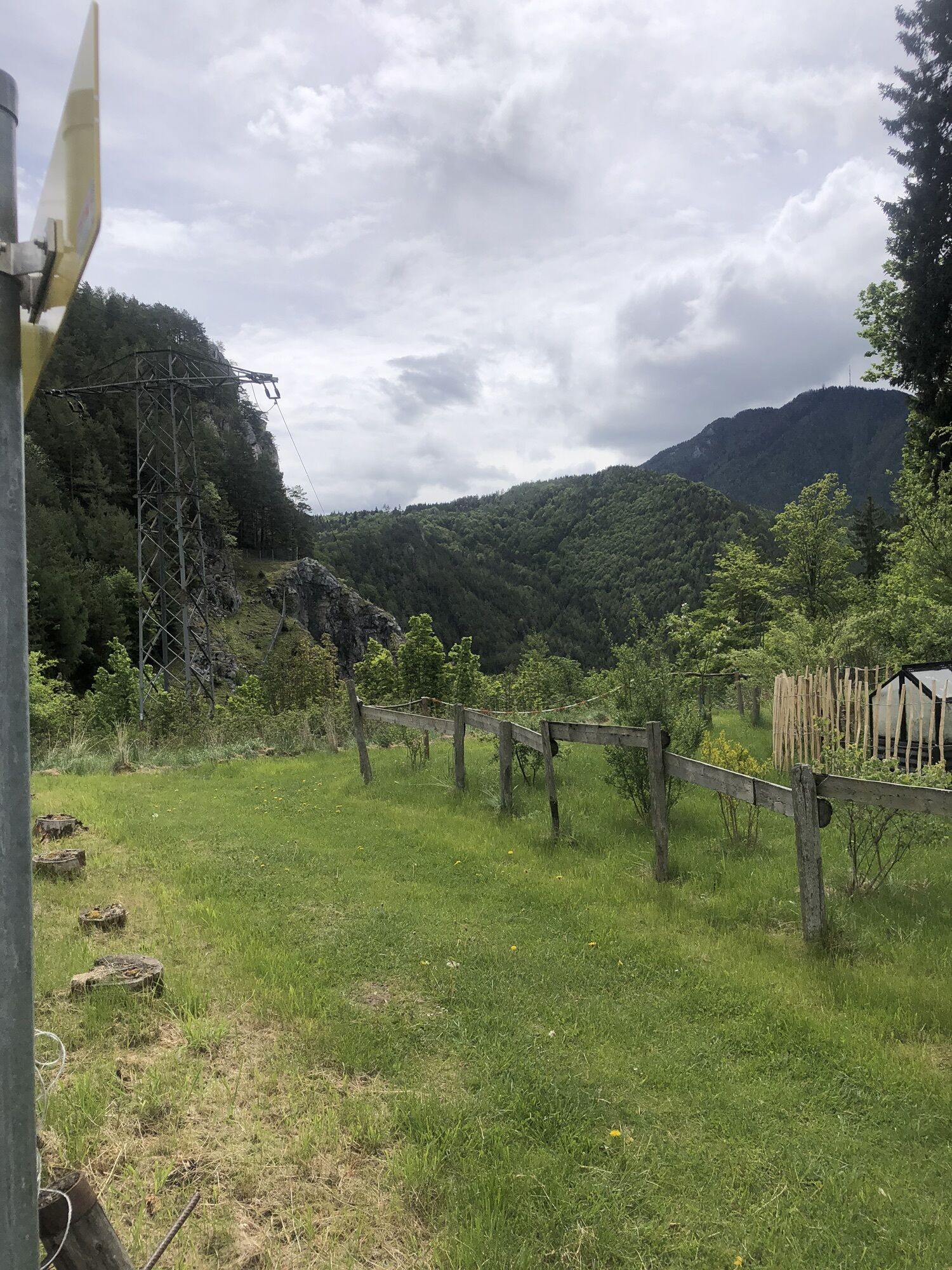
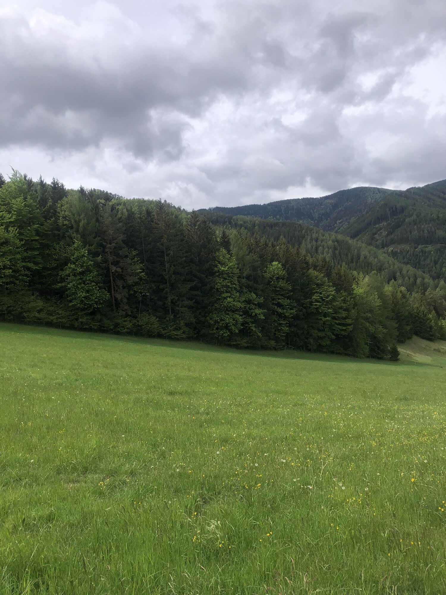
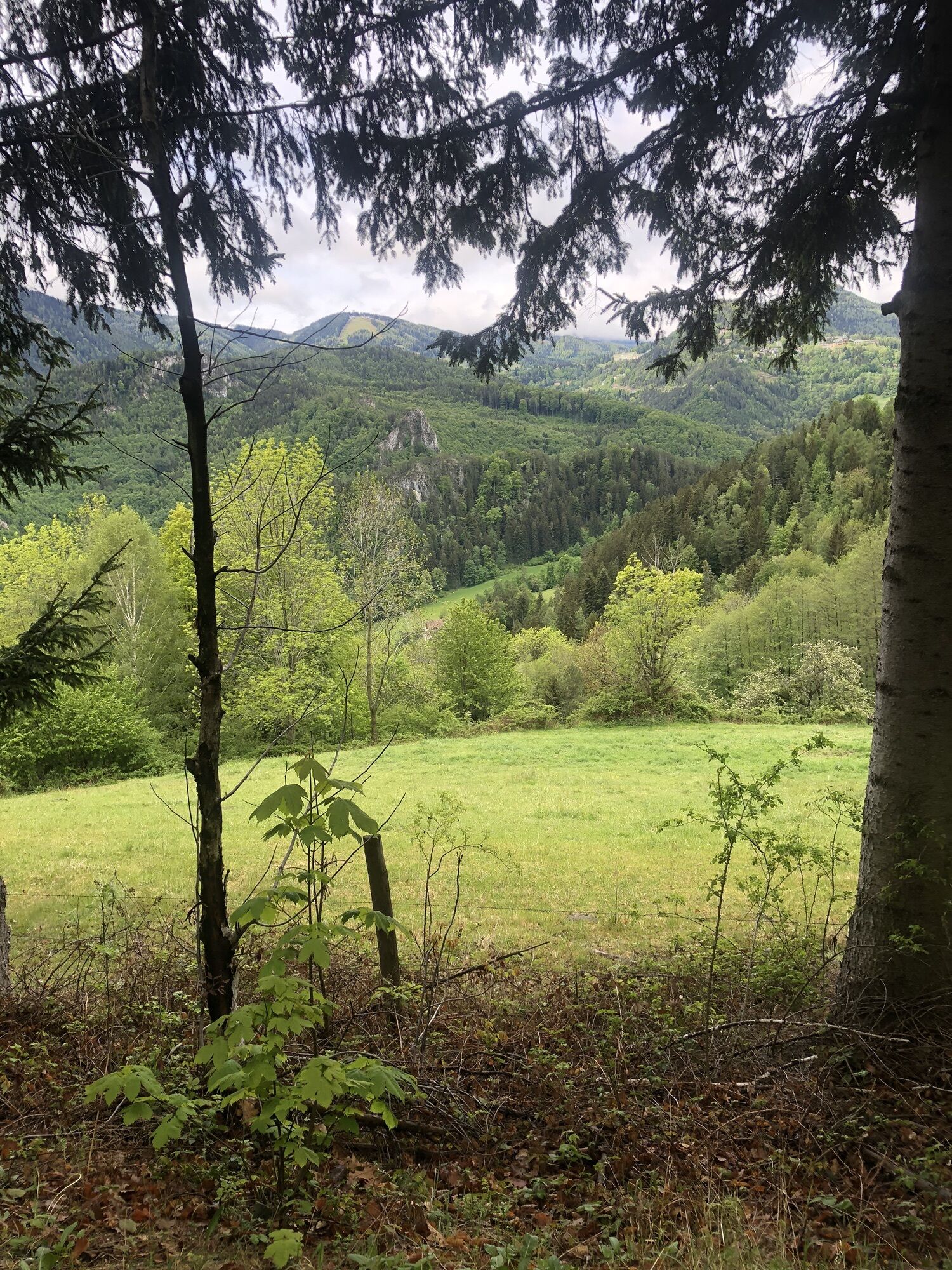
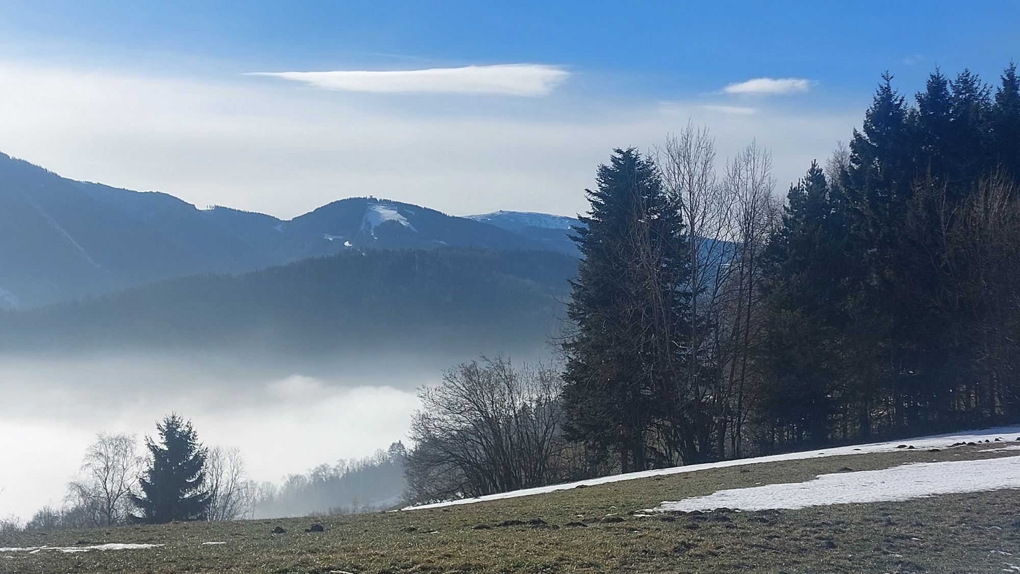
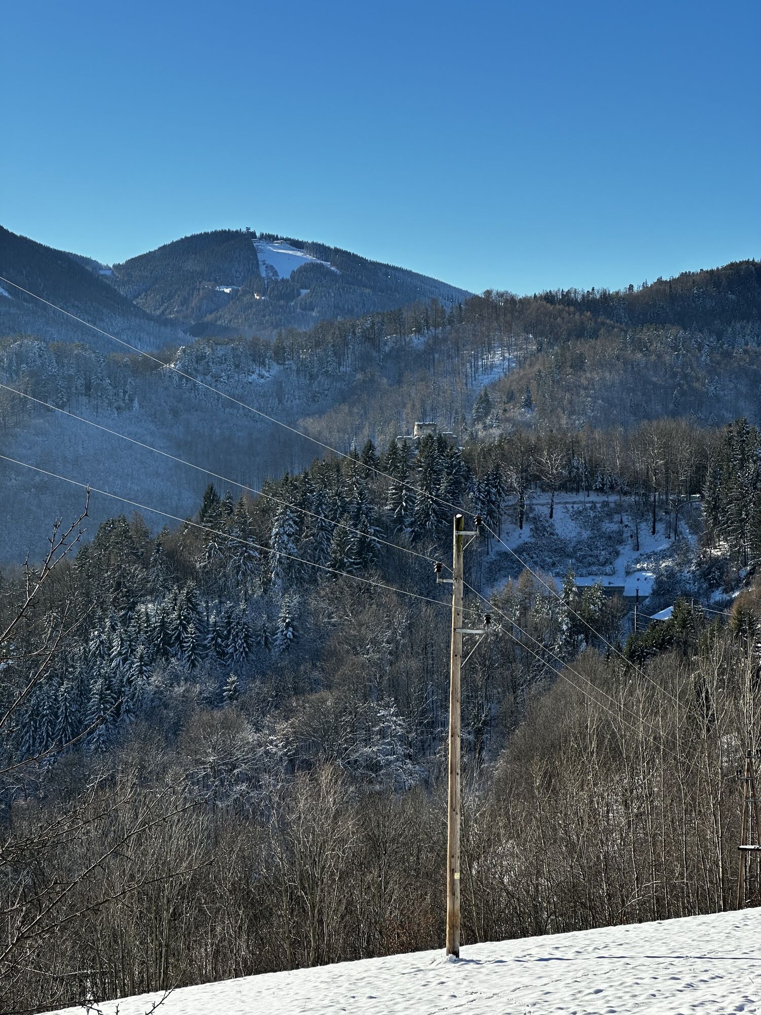
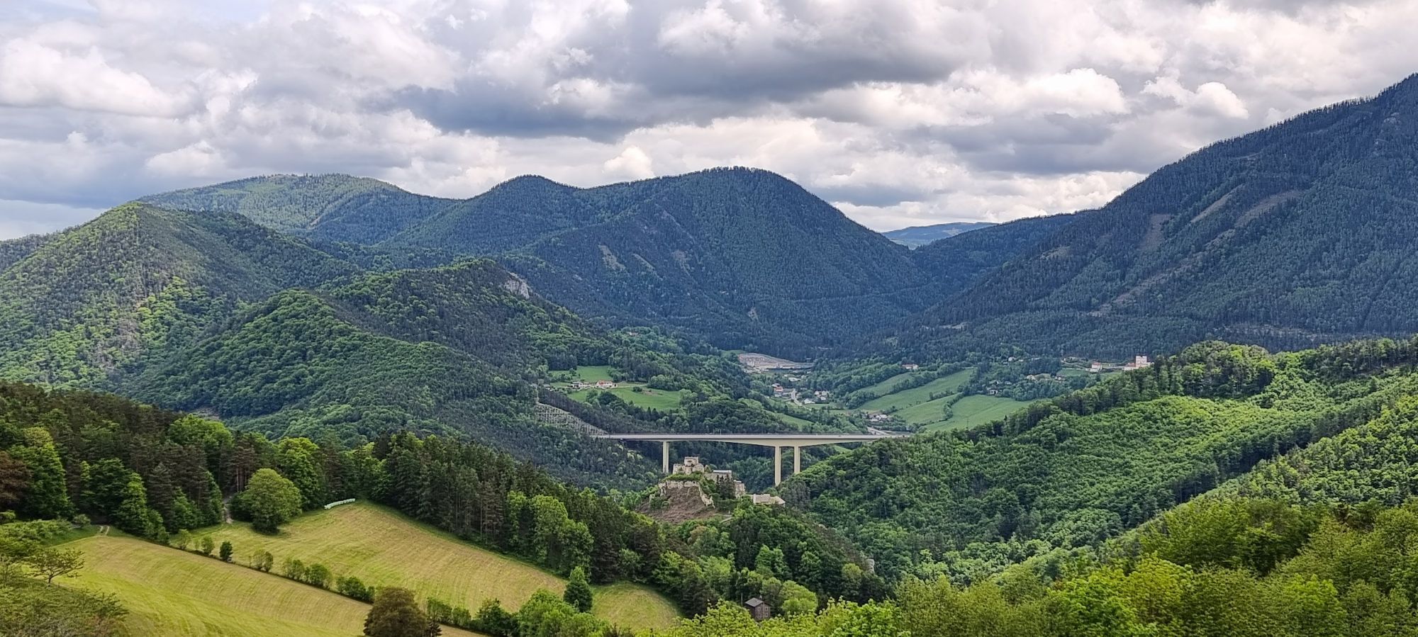
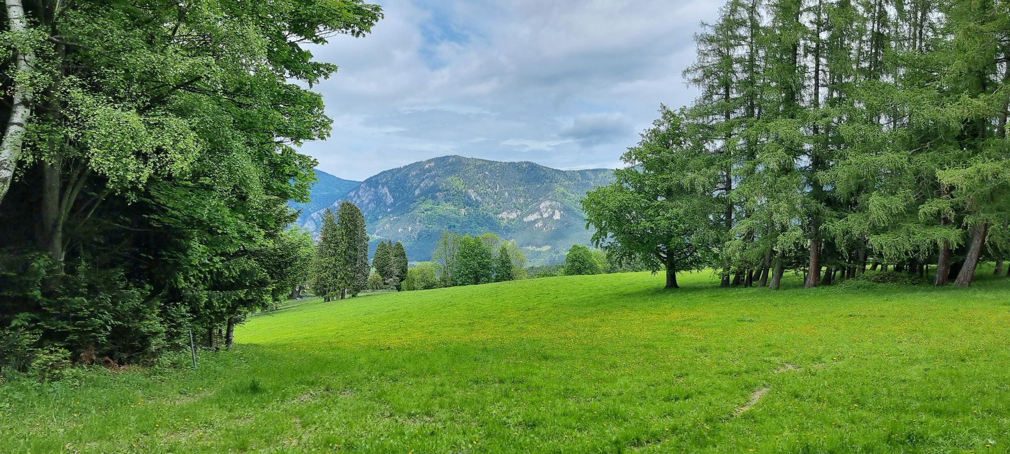
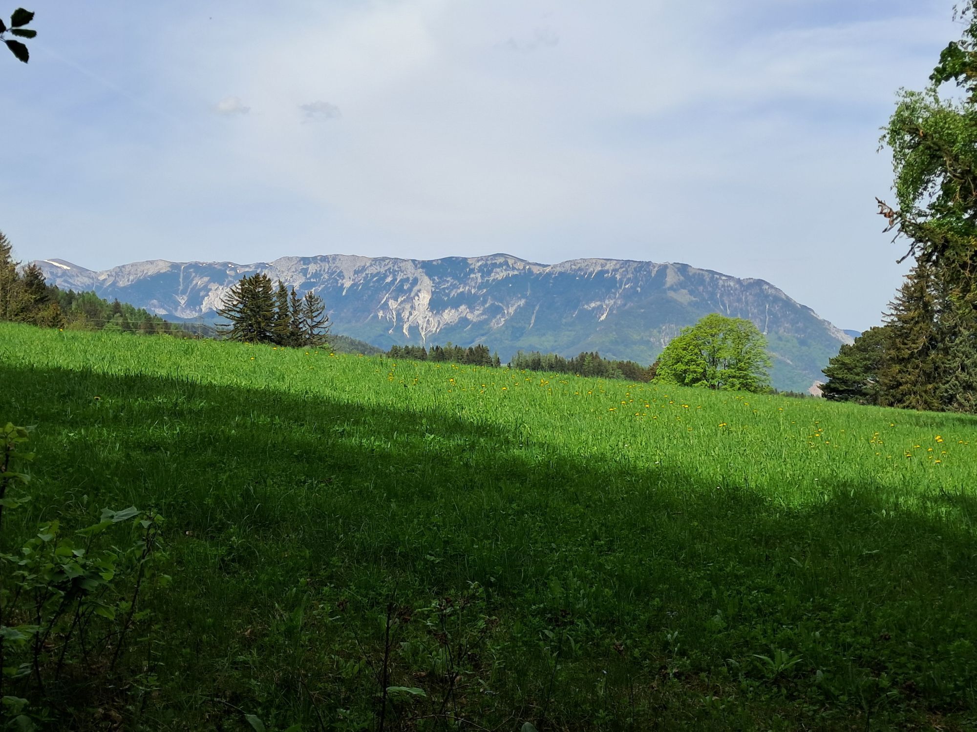
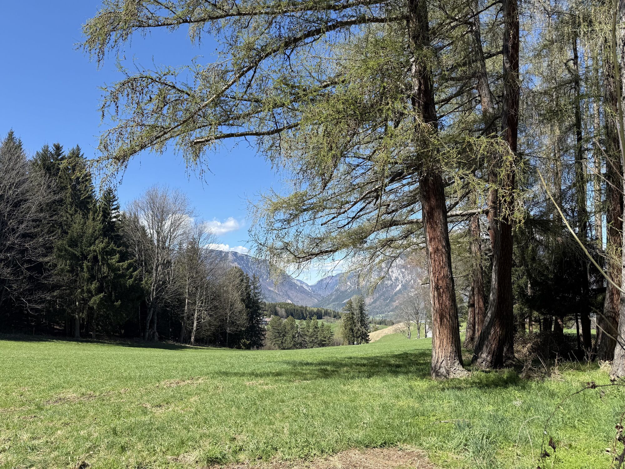
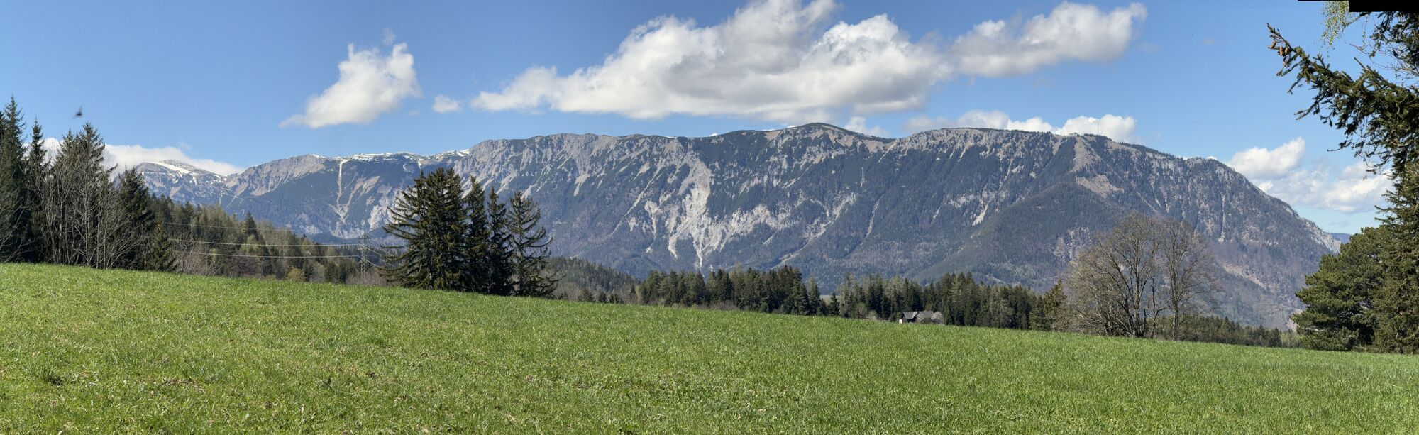
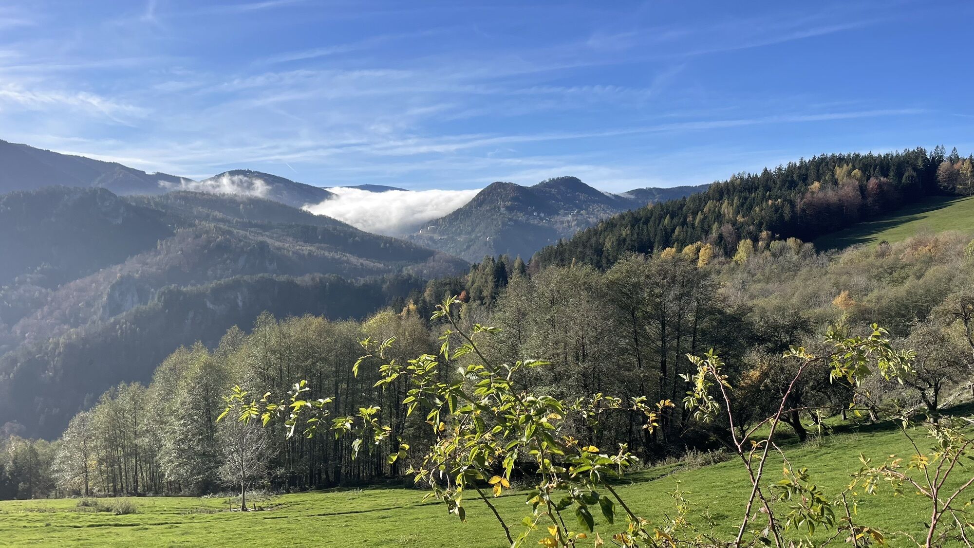
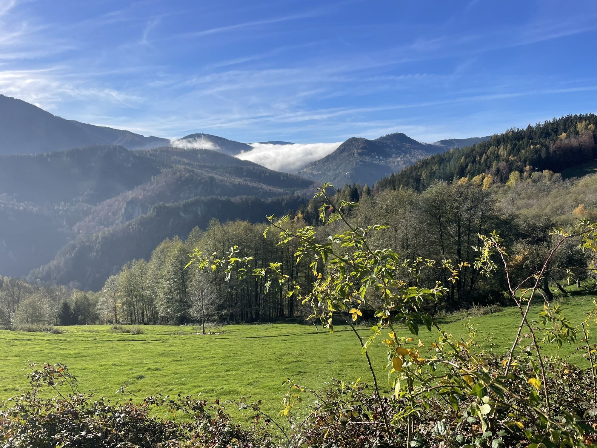
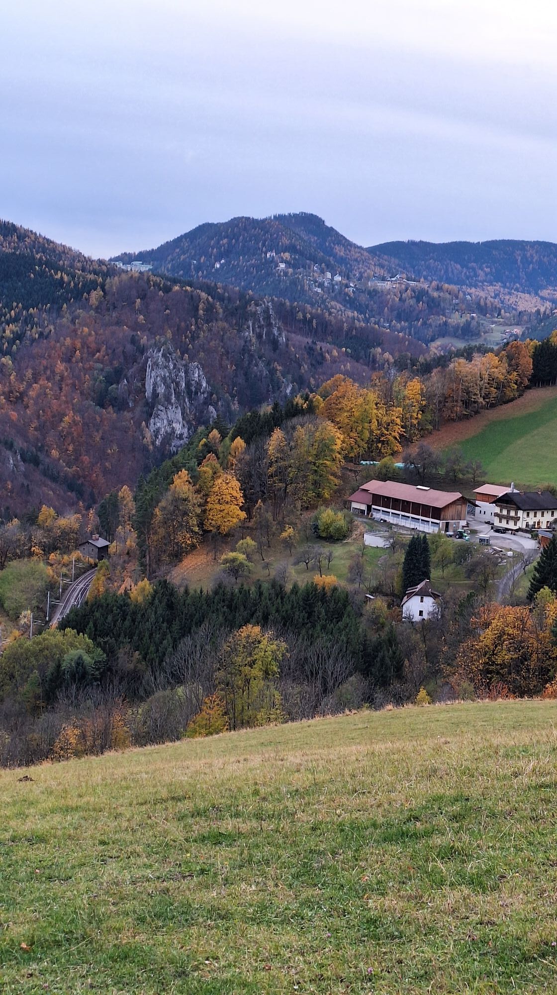
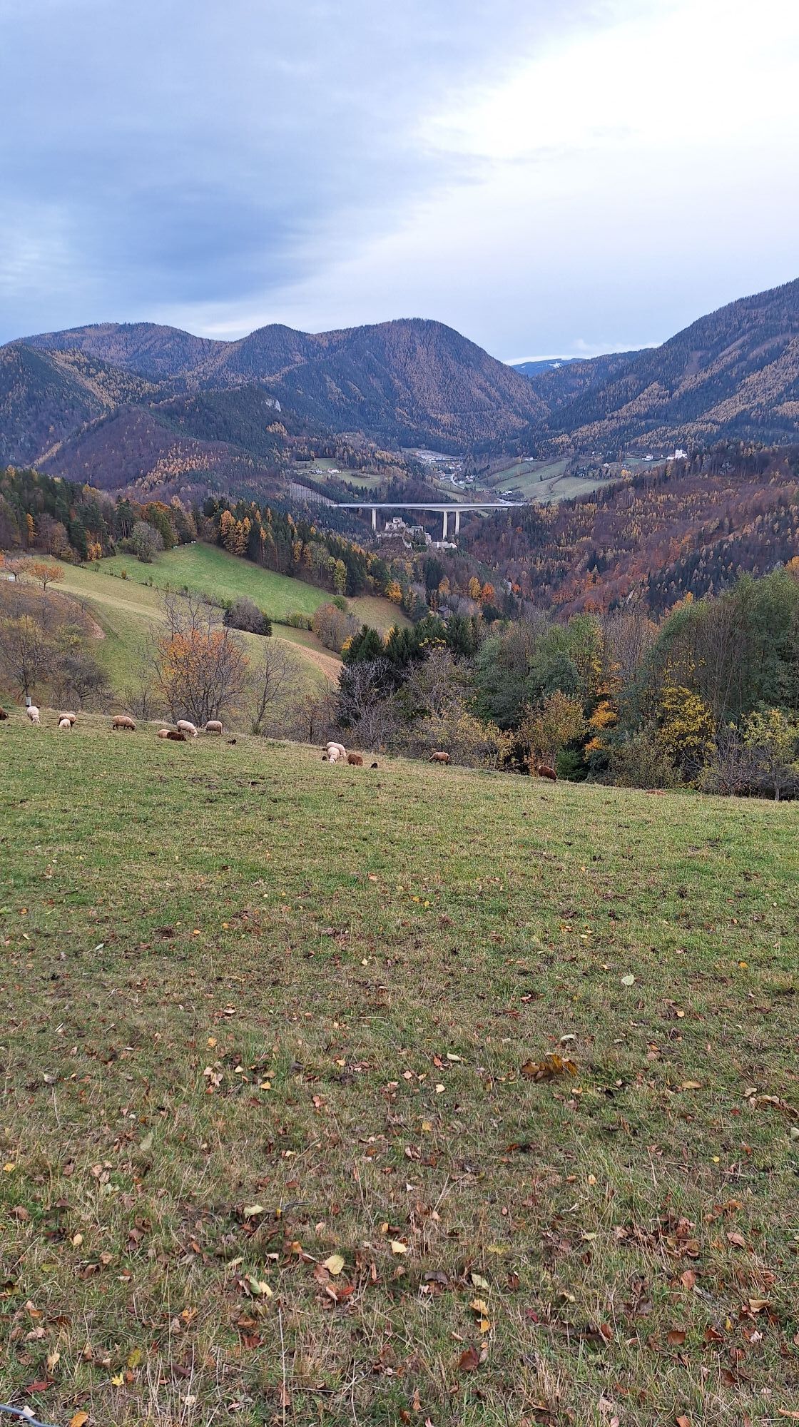
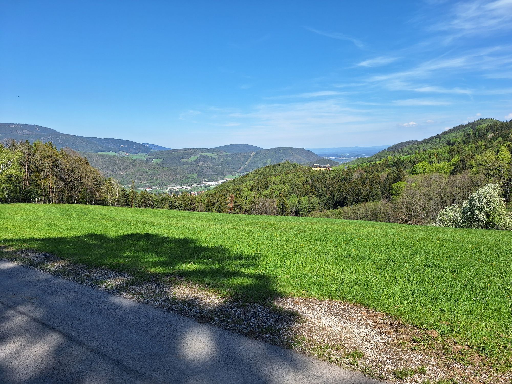
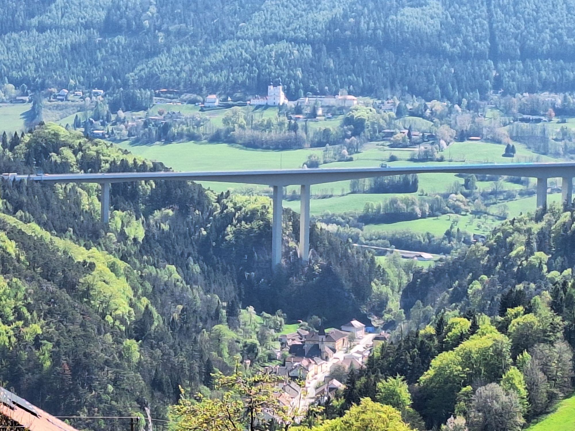
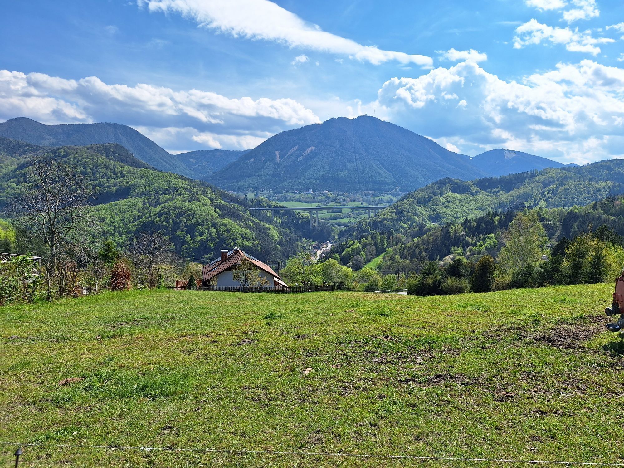
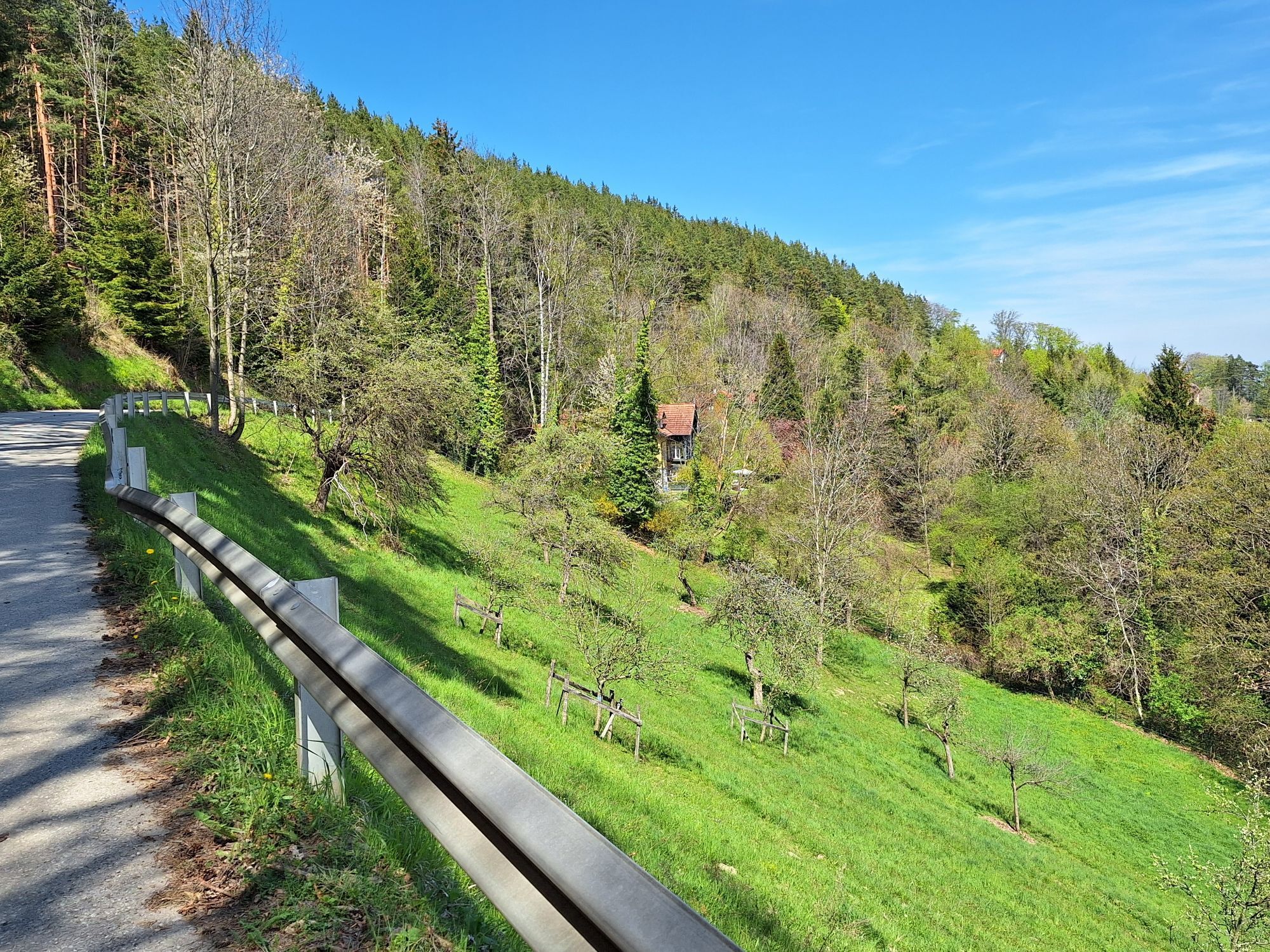
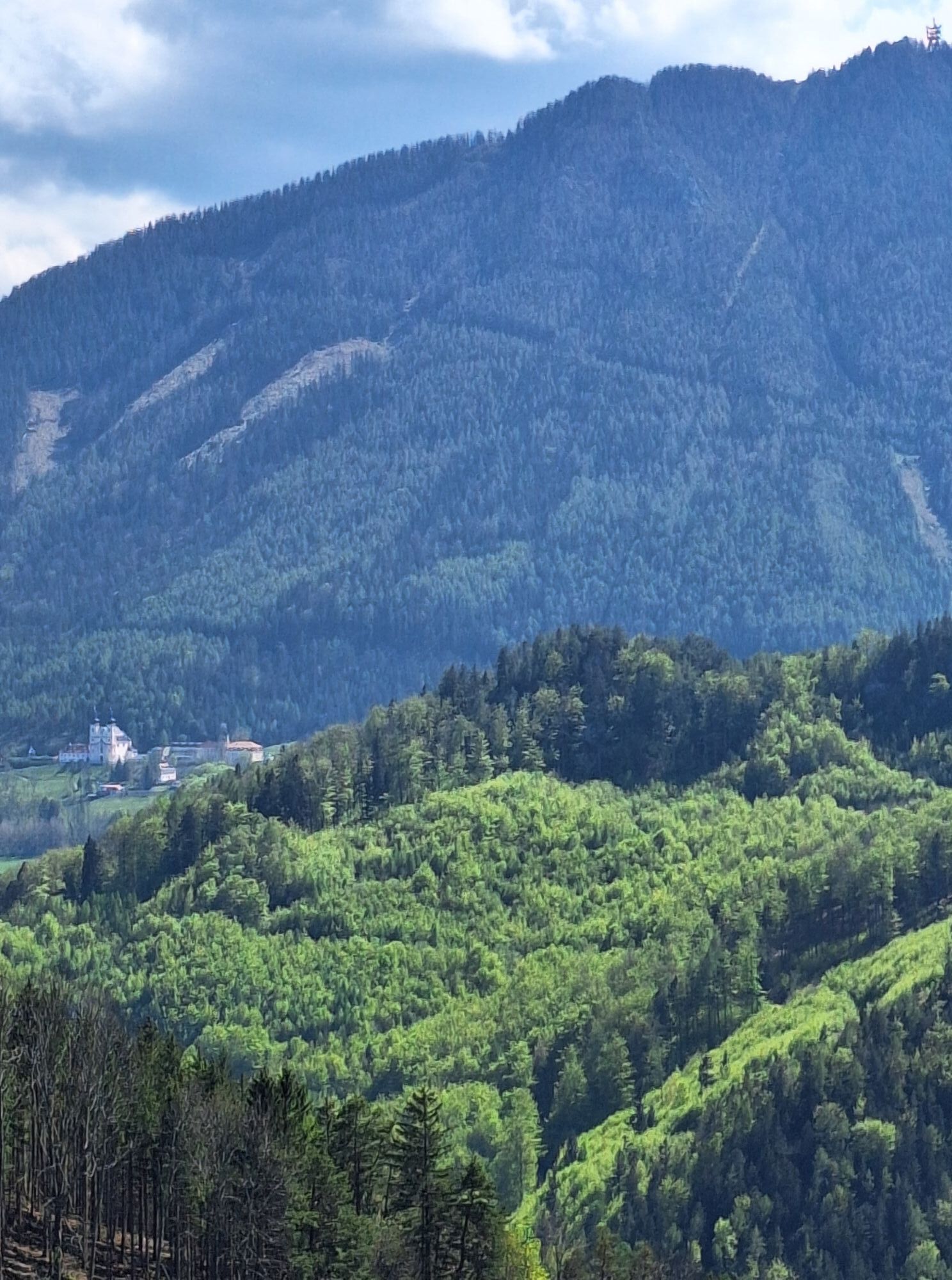
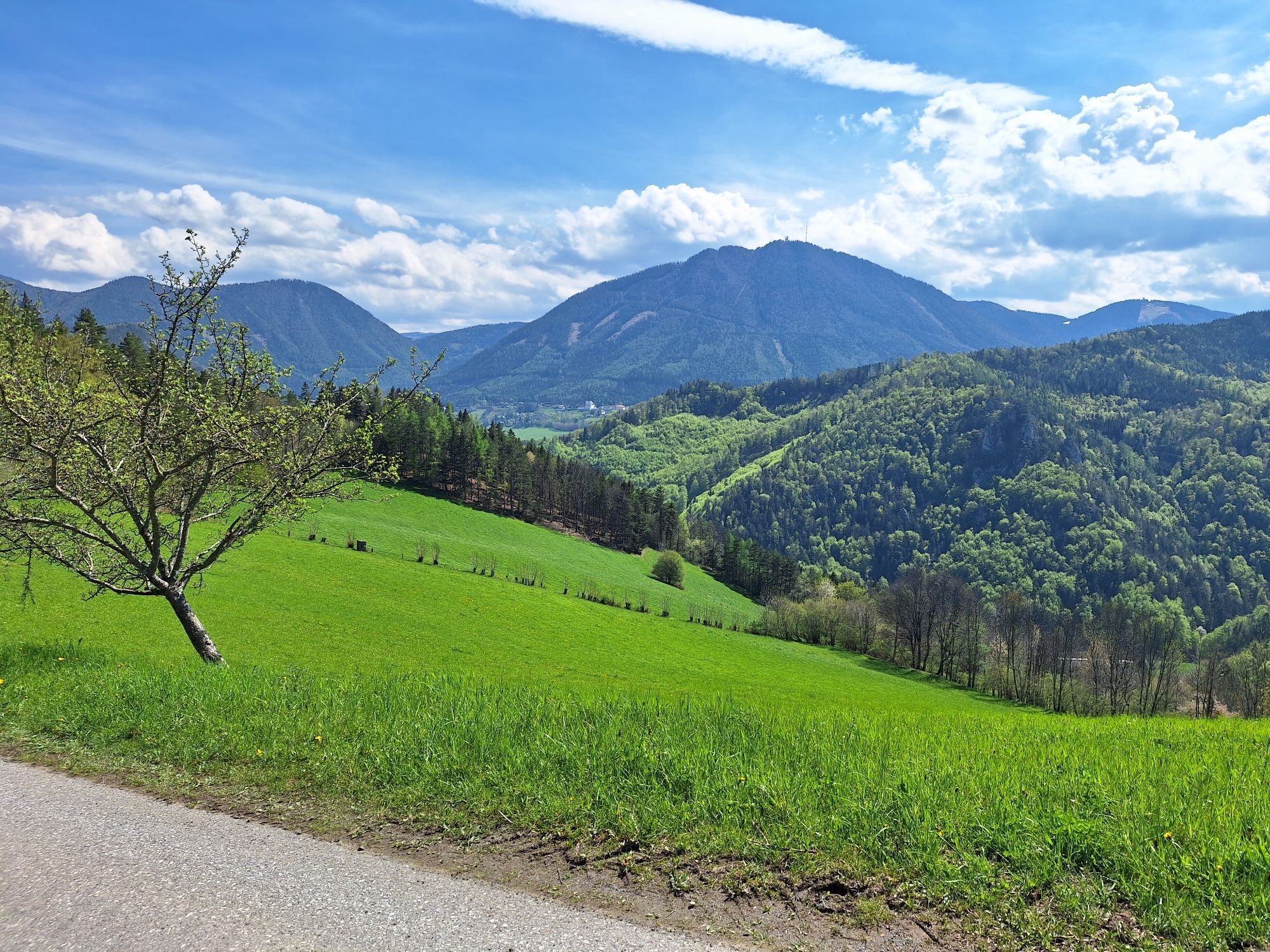
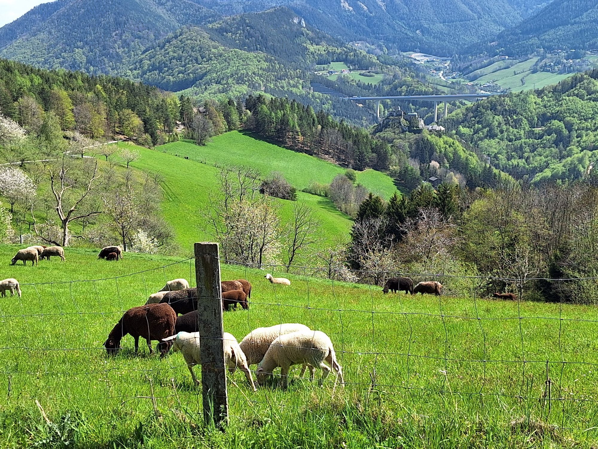
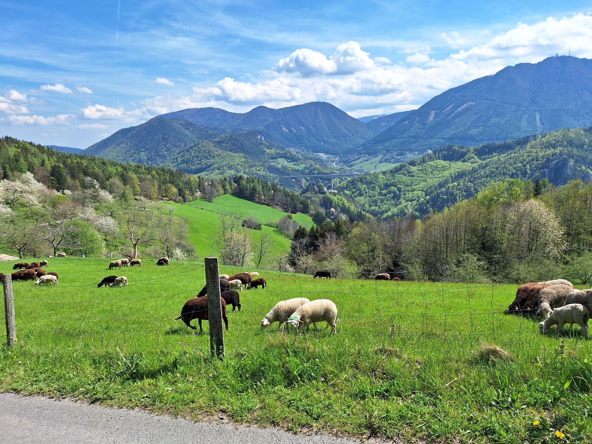
From Breitenstein to Klamm via the Panorama Route
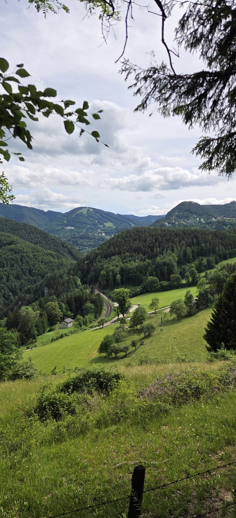
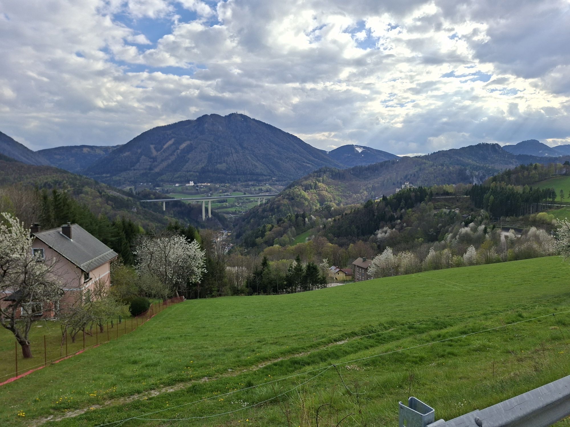
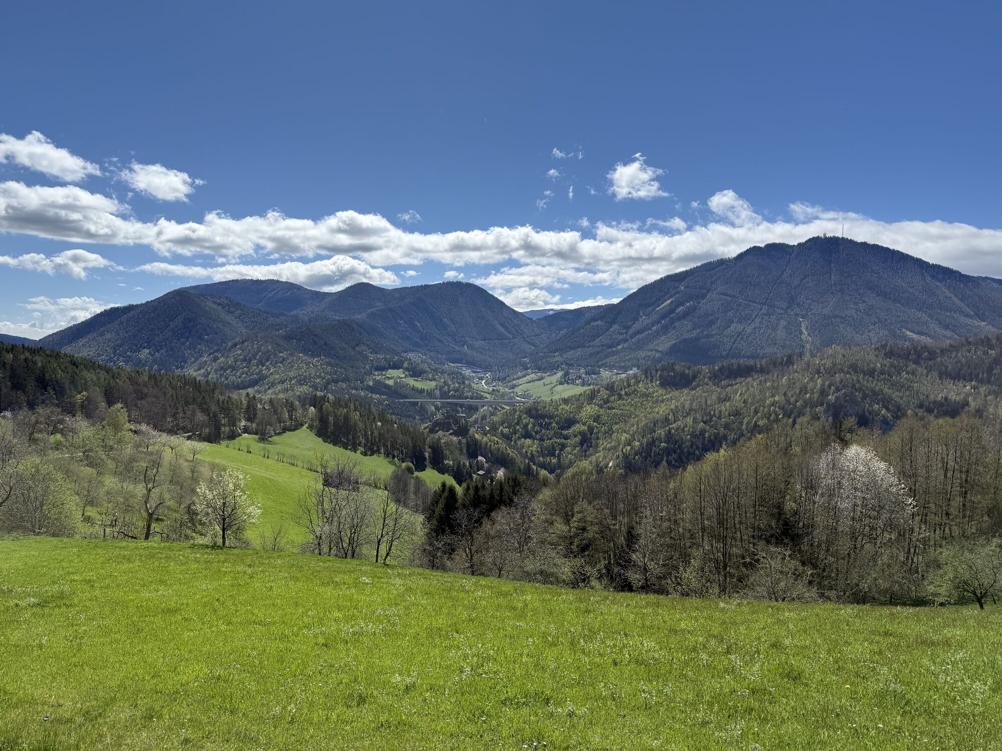
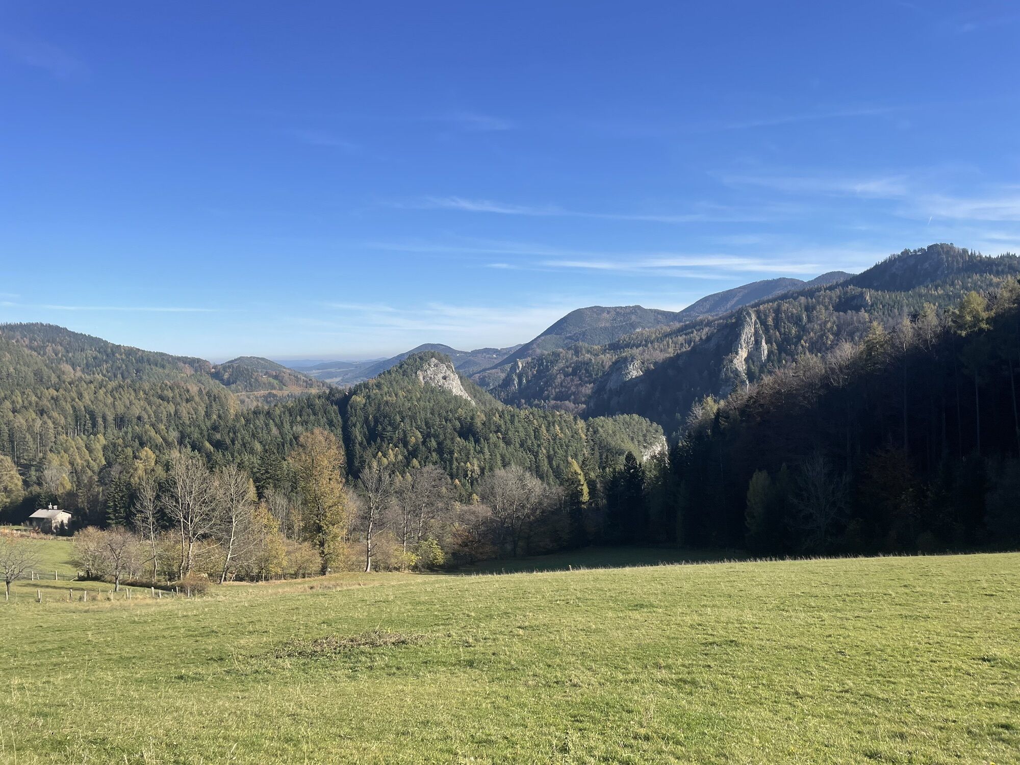
Along the railway hiking path you have a beautiful view of the UNESCO World Heritage Semmering Railway. From the Breitenstein stop, you hike via Karl Schubert...
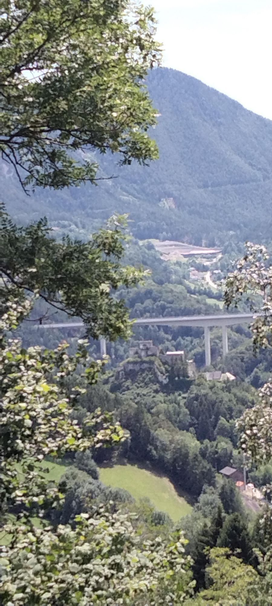
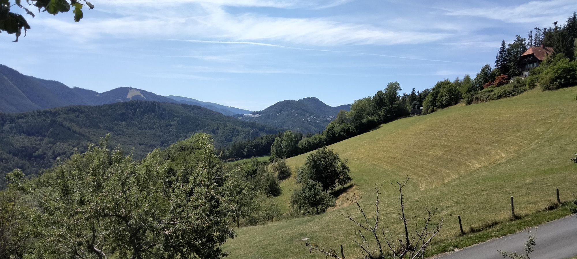
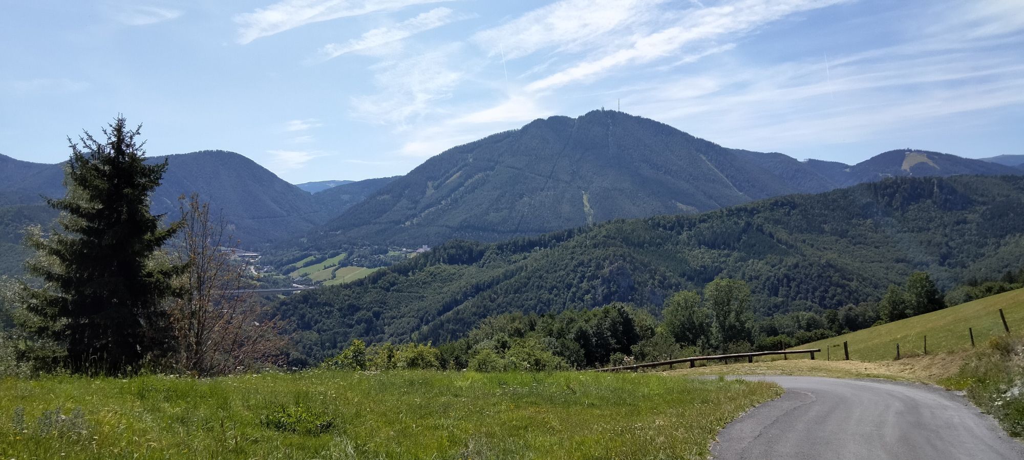
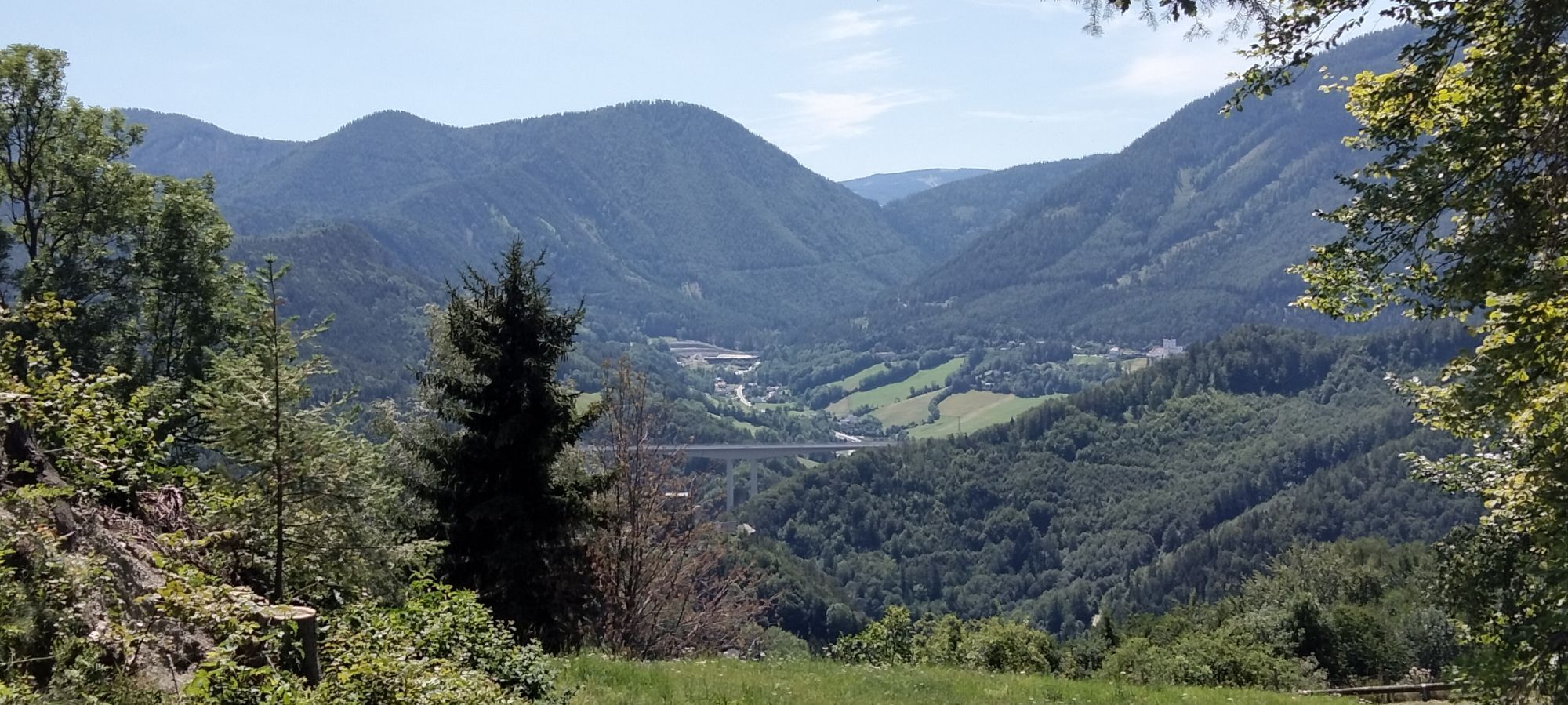
<p><strong>From Breitenstein to Klamm via the Panorama Route</strong></p><p>Along the railway hiking path you have a beautiful view of the UNESCO World Heritage Semmering Railway. From the Breitenstein stop, you hike via Karl Schubert Straße and Kreuzberg towards Klamm. To be rewarded with impressive views, you can take a short detour to the Weinzettelwand, where you can already look towards Klamm. During the panorama route over Kreuzberg you can stop for a break at Gasthof Polleres or Althammerhof (during their open periods). The path runs along quiet roads or wide forest paths, making it well suited for winter.</p><p><strong>History</strong></p><p>Initially, it was a path that led over the Semmering Pass - documented since the Middle Ages. Then in the early 18th century, Emperor Karl VI had a road built with up to 17 percent gradient, over which horses struggled with their loads. Finally, in 1841, the order was issued to build a railway line from Vienna to Trieste to meet the transport needs of the emerging industrialization. By 1844, it was "only" the gap between Gloggnitz and Mürzzuschlag over the Semmering that had to be closed. Under the leadership of Carl Ritter von Ghega, 20,000 workers built Europe's first full-gauge mountain railway, which has undergone only a few changes to this day. On the 41 km route, trains run over 16 viaducts, 100 bridges, and through 15 tunnels. Since 1998, this "outstanding technical solution to a major physical problem in the construction of early railways" has been a UNESCO World Heritage Site.</p>

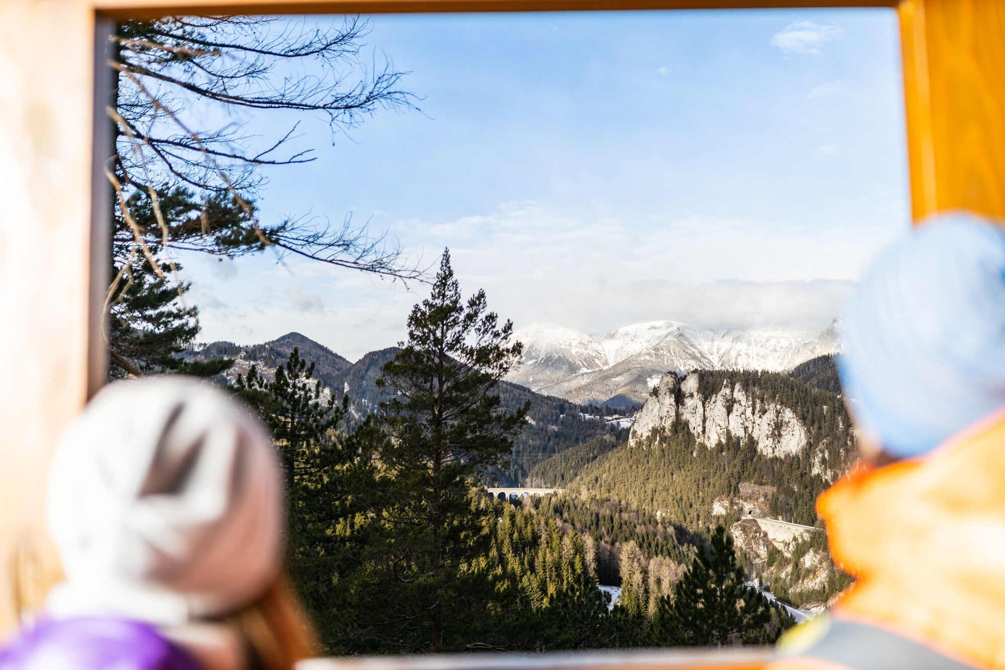

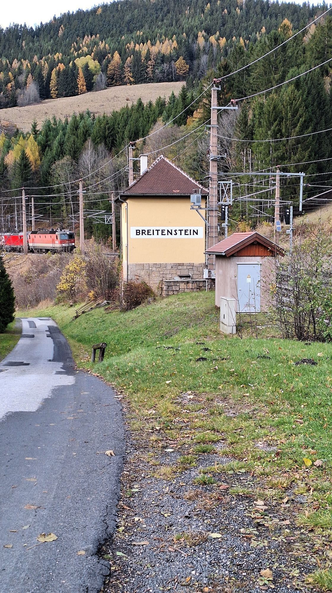
<p>The hike begins at the <strong>Breitenstein Train Station</strong>. From here, follow the signs continuously towards Klamm Train Station. Initially, the path leads downhill along the road to the <strong>municipal office</strong>. At the intersection, turn left into Lindenstraße, which becomes a forest path.
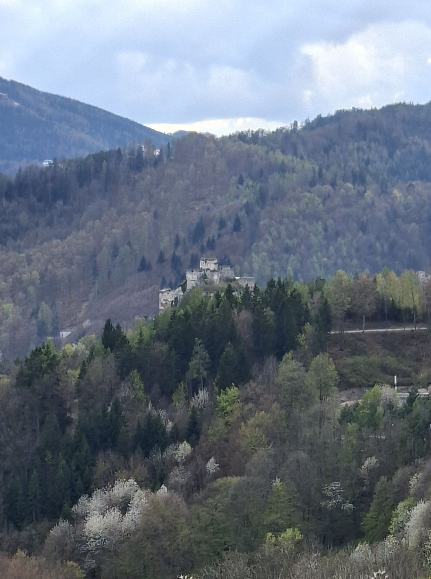
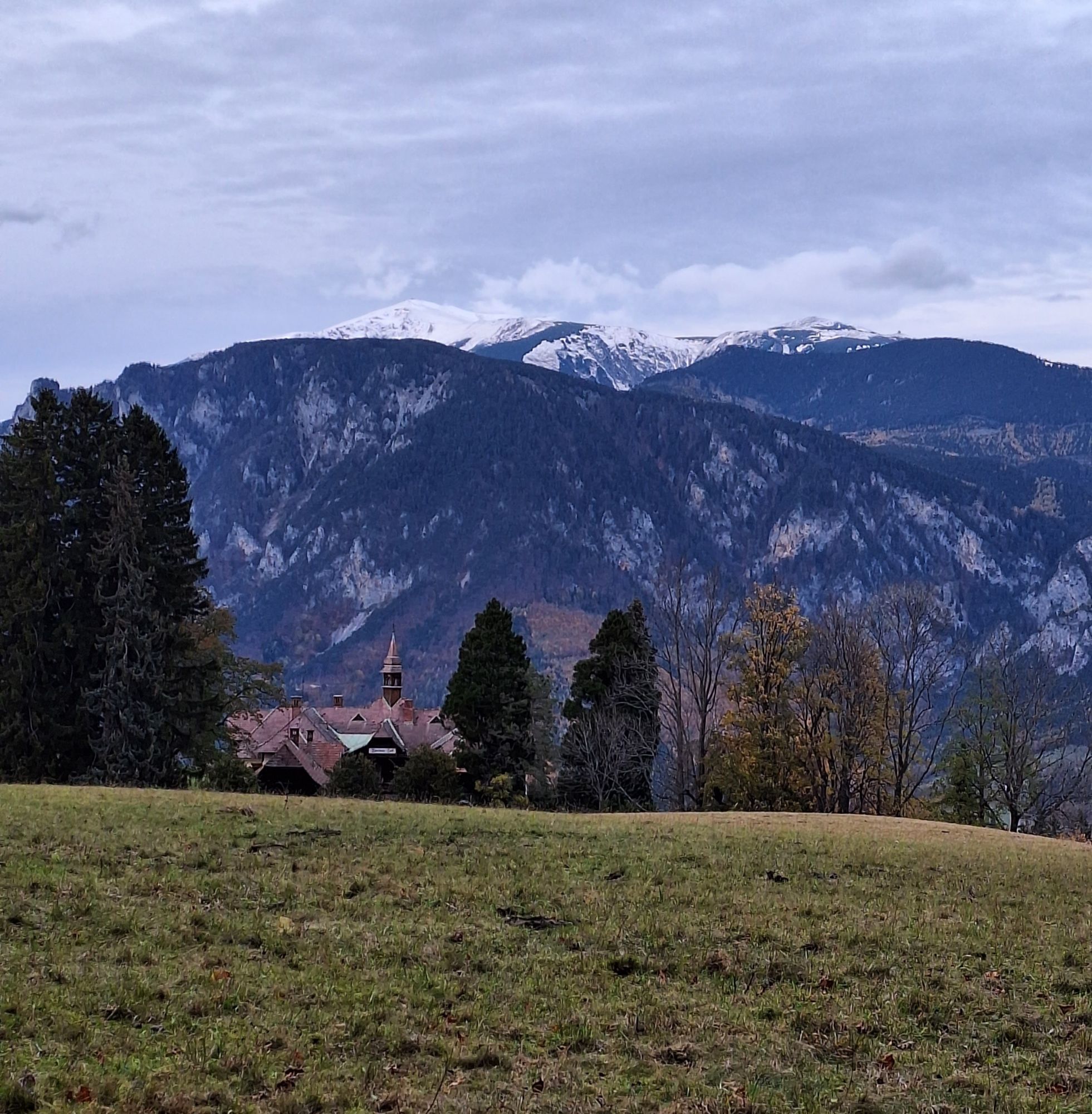
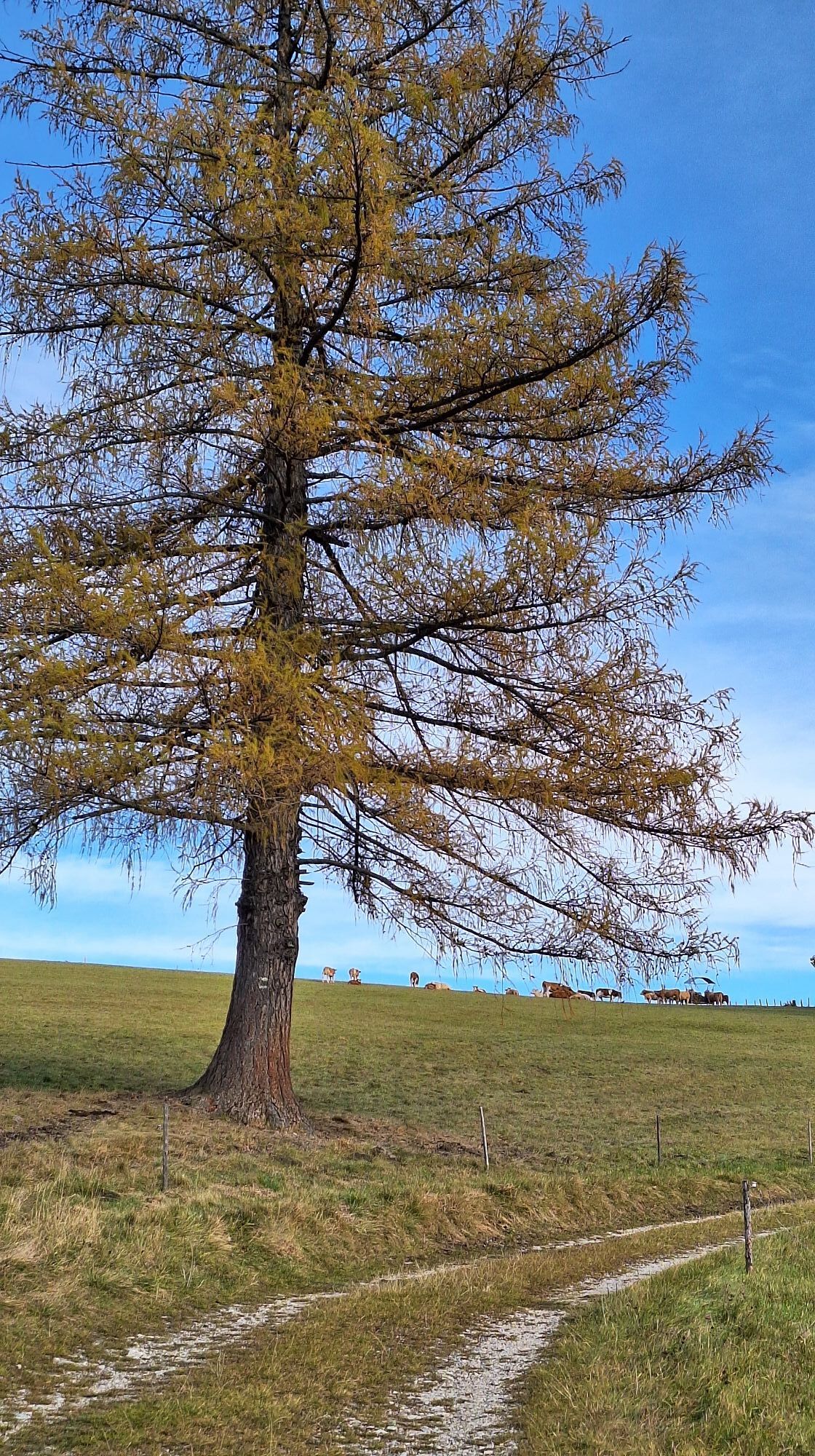
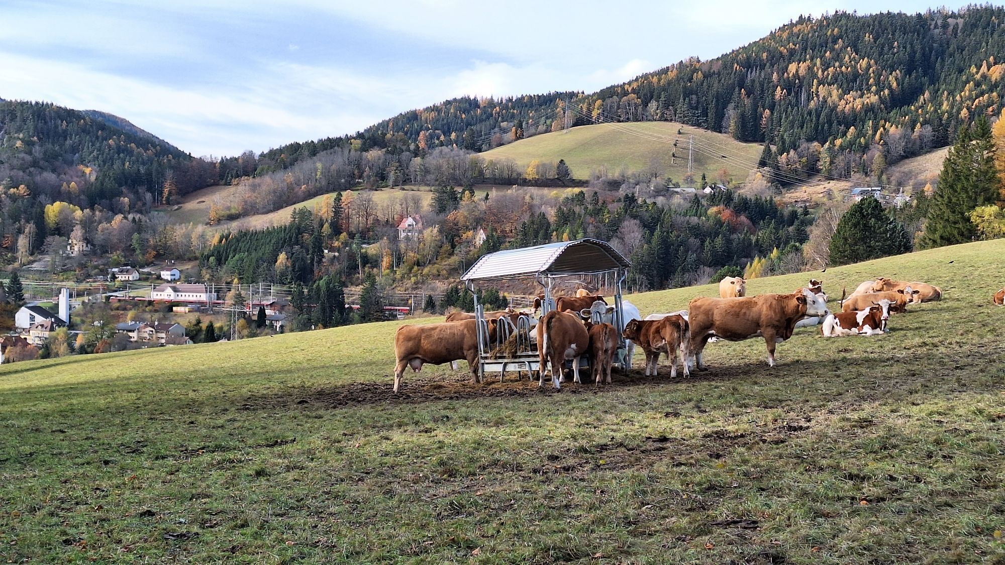
</p><p>At the next fork in the path, you reach a paved road again, which you follow uphill. On the right is a <strong>children's playground with a locomotive</strong>. The route continues along Untere Bahnstraße, which later turns into a forest road.</p><p>At the end of this forest road, there is an option to turn right over a meadow to <strong>Weinzettlwand</strong>. Here, two viewpoints offer impressive views of Klamm, Breitenstein, Semmering, and the famous Semmering railway.<strong> (Sure-footedness required)</strong></p><p>Then follow Karl-Schubert-Straße to the <strong>“Blue Cut.”</strong> Here the path also continues along the road. If desired, you can turn right and follow the railway hiking path along the tracks. The signposts point towards Kreuzberg/Gh. Polleres, Althammerhof, and Klamm stop.</p><p>The path continues to an intersection where you turn right. Here the road turns into a gravel path. On the left is the <strong>Gasthaus Polleres</strong> – a good opportunity for a break.</p><p>The hike continues towards the <strong>Althammerhof</strong>, which soon appears on the left side. From there, it goes downhill towards Klamm. At the end of Althammerhofstraße, turn right and soon reach the point where you can decide: either hike further towards Gloggnitz or Payerbach or end the route. In this case, it is about a 10-minute downhill walk to Klamm Train Station.</p>
<p>Always take suitable maps with you. Wear sturdy shoes appropriate for the route, bring sun and rain protection as well as water and a small snack. Take your mobile phone and save the mountain rescue emergency number: 140</p>
<p>Your hikes in the Vienna Alps should be a wonderful and safe experience.
</p><p>Please note the following:</p><p>Make sure when choosing the route that it matches your <strong>condition</strong>. Check the <strong>weather forecast</strong> in advance. Weather in the mountains can change quickly and unexpectedly. Always set out adequately equipped (sturdy footwear, winter hiking gear). Check whether the huts and snack stations you want to visit are open. Inform someone about your route choice and planned return before you set off. Stay on <strong>marked paths</strong> and avoid shortcuts. Do not litter and dispose of waste properly.</p><p><strong>Warning: this winter hiking trail may not be fully cleared in snowy conditions and may have slippery spots. Use is at your own risk! Also keep in mind that in winter markings can be invisible due to snow, so prepare well for your tour! Pay attention to early dusk and plan your hike carefully.</strong></p><p>Mountain Rescue: 140</p><p>EU Emergency Number: 112</p>
<p>From <strong>Vienna</strong>, take the A2 South Motorway onto the S6 Semmering Expressway and take the Gloggnitz exit. Continue straight towards Schottwien and via Adltzgräben to Breitenstein. </p><p>From <strong>Graz </strong>, take the S6 Semmering Expressway and take the Spital/Semmering exit. Drive on the federal road to Semmering and from there towards Breitenstein.</p>
<p>Travel comfortably with the Southern Railway to <strong>Breitenstein Train Station</strong>, where the hike also begins.</p><p>Alternatively, book an individual ride with the <strong><a href="www.rufbus-mobilitaet.at">RUFbus Semmering-Rax.</a></strong></p><p><strong>The following RUFbus stops lie along the route:</strong></p>BR11 Breitenstein Train StationBR12 Municipal Office BreitensteinBR9 Lower/Upper BahnstraßeBR8 Blue CutBR1 Gasthaus PolleresBR2 AlthammerhofBR3 Eichbergstraße KlammBR4 Klamm Train Station<p><strong>Return journey:</strong></p><p>You can return either by RUFbus Semmering-Rax to the starting point of the railway hiking path or by train back home.</p><p>More information: </p><p><a href="www.oebb.at">www.oebb.at</... or <a href="www.vor.at">www.vor.at</a&...
<p>Parking is available at Breitenstein Train Station.</p>
Options for breaks:
Gasthaus PolleresAlthammerhofFurther information:
Tourism Association Semmering-Rax-Schneeberg, +43 660 900 88 22
Získajte prehľad
Vždy naživo na mieste s viac ako 9 500 webovými kamerami. bergfex Ako používateľ Pro si teraz môžete pozrieť príslušné webové kamery pre mnohé zájazdy v aplikácii zájazdy z. Môžete si tak priamo prezerať aktuálne podmienky.
Obľúbené výlety v okolí
-
4,6
Losenheim: Edelweißhütte - Fadensteig - Fischerhütte
strednáTuristika 11,5 km -
4,7
Zahnradbahn und Wandern am Schneeberg - Plateauwanderung
strednáTuristika 6,90 km -
4,8
Cultural walk Payerbach-Reichenau
svetloTuristika 7,43 km -
4,8
Rax - Heukuppe
Turistika 15,6 km -
3,7
Schwaigen Rundwanderung
svetloTuristika 8,24 km -
5,0
"Weichtalklamm" über Stock und Stein durch das Höllental - Weichtalhaus - Kientallerhütte 1340m
strednáTuristika 14,0 km -
5,0
Insider tip: Schneeberg via the Novembergrat
ťažkéTuristika 13,5 km -
4,9
"Über den höchsten Nieder-Ösi" - Schneeberg - Weichtalklamm - Klosterwappen - Stadlwandleiten
strednáTuristika 17,7 km -
4,9
Reißtalersteig und Gretchensteig
ťažkéTuristika 8,10 km -
4,9
Schneeberggebiet: Ein Stückchen am Wasserleitungsweg im Höllental
svetloTuristika 2,64 km
Turistika a stopovanie


Nenechajte si ujsť ponuky a inšpiráciu na ďalšiu dovolenku
Vaša e-mailová adresa bol pridaný do poštového zoznamu.





