



Winter hike on the cultural hiking route Bad Erlach

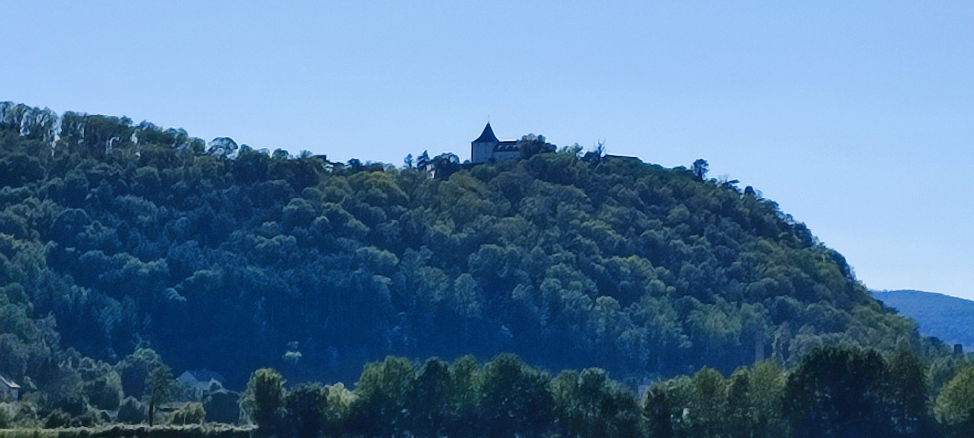

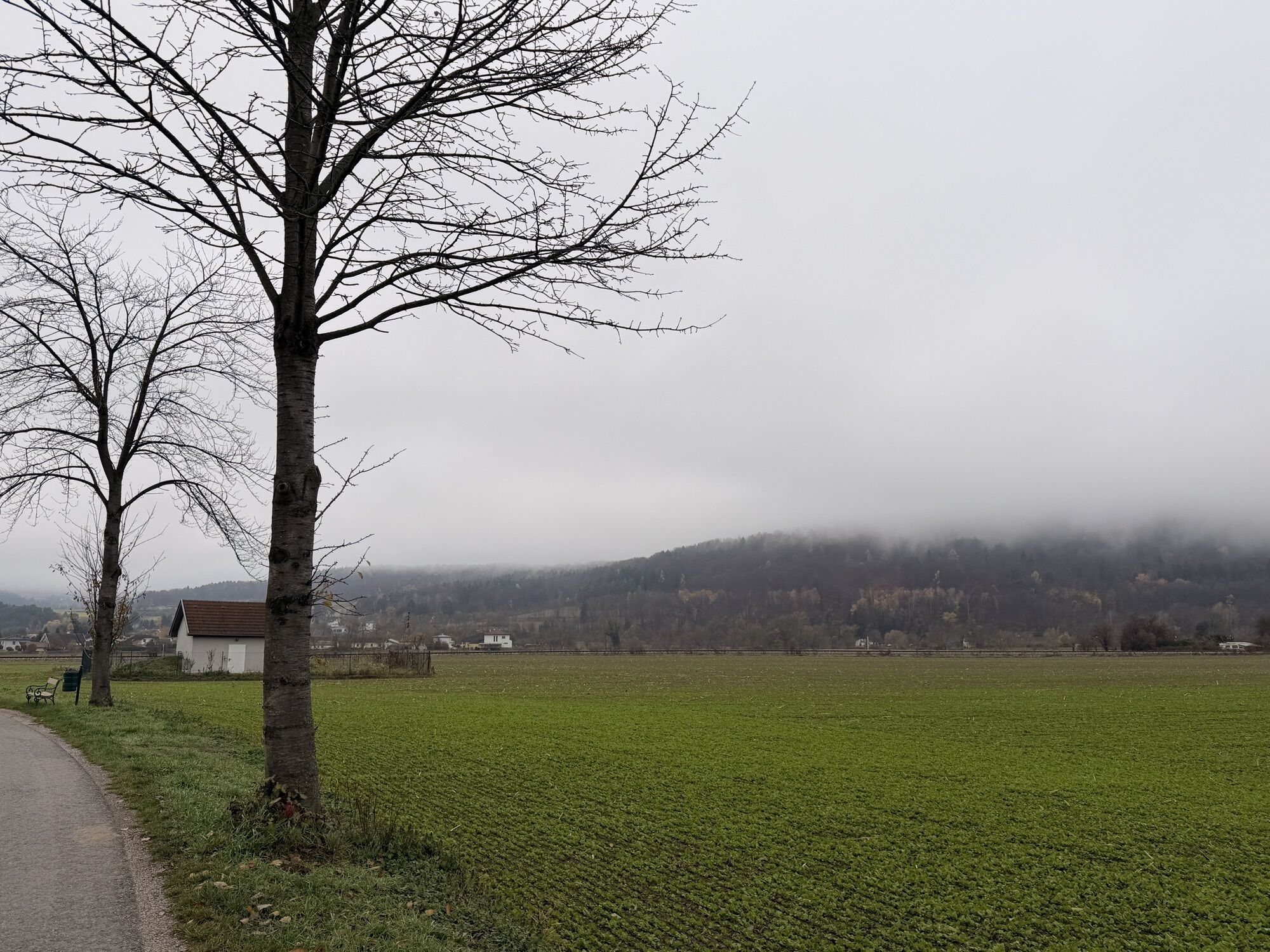
Bad Erlach is located on Roman traffic routes, between Styria and Austria, on the edge of Steinfeld and Bucklige Welt. The town combines elements of both landscapes and links the Burgenland and Lower Austrian...
Bad Erlach is located on Roman traffic routes, between Styria and Austria, on the edge of Steinfeld and Bucklige Welt. The town combines elements of both landscapes and links the Burgenland and Lower Austrian regions.
Historical evidence ranges from the medieval Ulrichskirche church and Linsberg Castle to traces of industrialization. The cultural hiking trail makes it possible to discover the history from the beginnings to the industrialization of the 19th century to the modern wellness oasis and to experience the unity of landscape, history and culture.



This route description refers to the start via Thermenstraße. Since it is a circular hiking route, you can also start in the other direction.
From the Thermen parking lot Bad Erlach, go over the roundabout onto Thermenstraße. At the T-junction, turn right into Wiener Neustädter Straße, cross the railway tracks and turn right again into Bahngasse. Follow the street and at the next intersection turn left into Fabrikgasse. This leads to the river crossing, which transitions into Ufergasse. After the bridge, go straight across the field until you reach Blumenstraße. Keep right and turn left into Rosaliastraße. At the next opportunity, turn right onto Lambacherstraße and at the coming intersection turn left into Brombergerstraße. Follow this street to the brickworks and then turn right onto Bergweg. Follow the hiking route straight ahead until it leads downhill to the right onto a path. This path leads back down into the village. At Heuweg, turn left into Wiener Neustädter Straße. Then turn right into Brunner Straße and continue to the intersection with "Schwarzer Weg." There, take the path along the railway tracks and go left up to Thermenstraße. Keep right past Schloss Linsberg and past the forest cemetery back to the Thermen parking lot.
Always take suitable maps with you. Wear sturdy shoes adapted to the route, bring sun and rain protection, as well as water and a small snack. Take your mobile phone with you and save the emergency number for mountain rescue: 140
Don’t forget headgear and gloves, and avoid getting hypothermia at all costs!
Your hikes in the Vienna Alps should be a thoroughly enjoyable and safe experience. Please consider the following:
Preparation
Special caution is required in winter. Make sure that the chosen route matches your experience and fitness. Check the weather forecast beforehand. Always start equipped (e.g. hat, gloves, etc.). Keep in mind that in winter it gets dark as early as 4:00 p.m.
Check whether the huts and snack stations you want to visit along the way are open. Inform someone about your chosen route and planned return before you set out.
Attention:
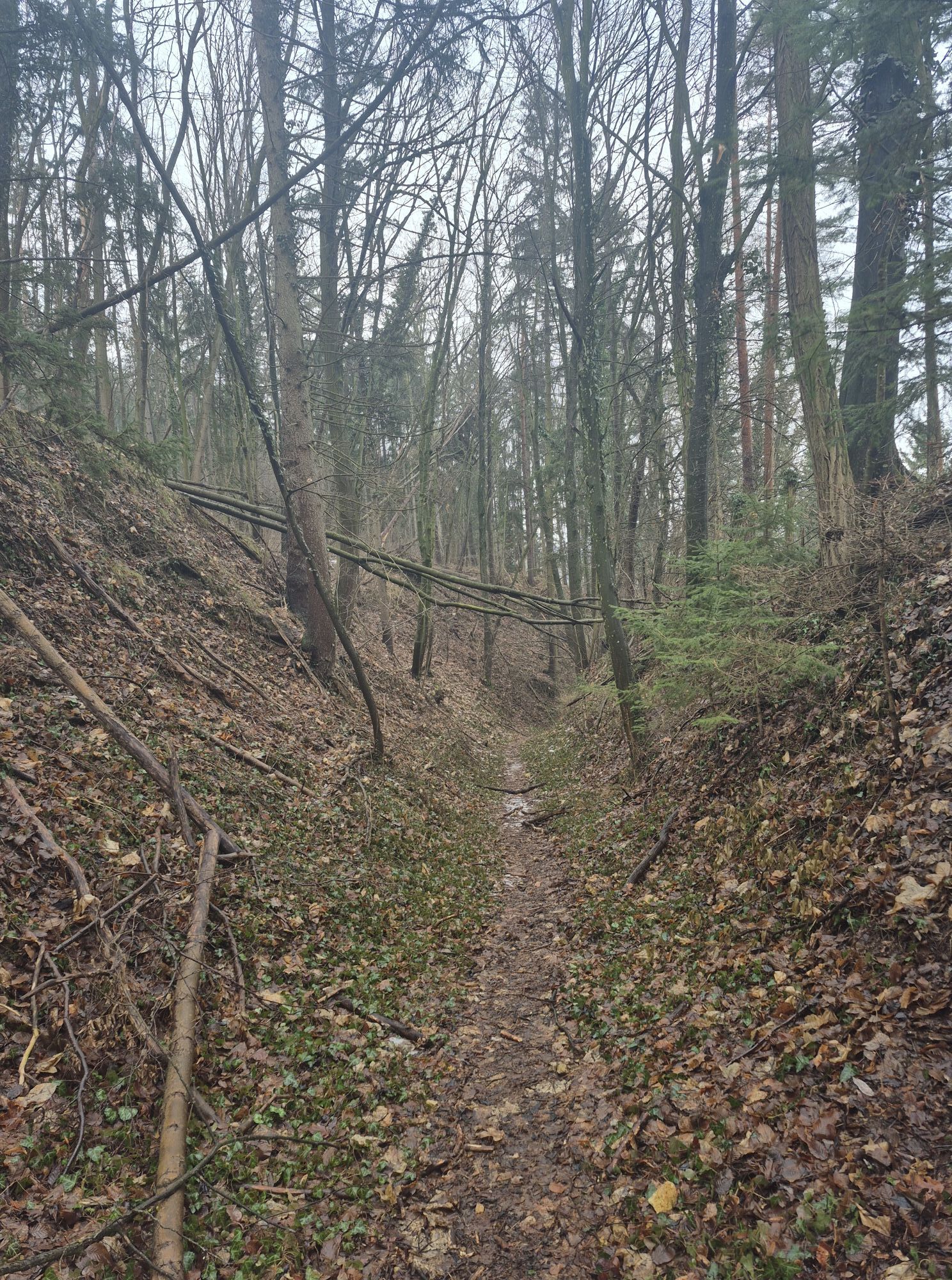
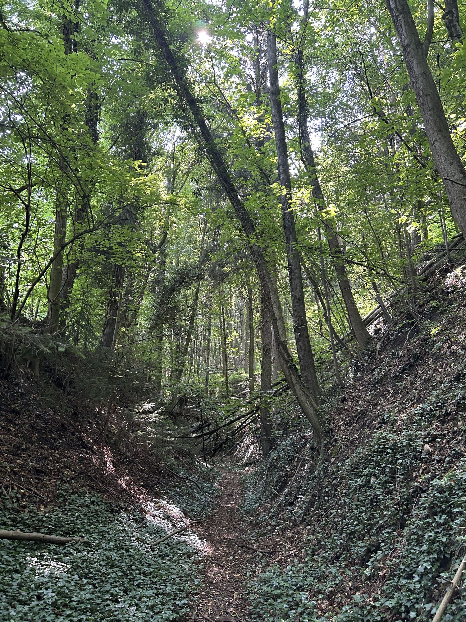
Be aware, this hiking route goes through the forest, which is not cleared and can be slippery when there is snow. Use is at your own risk. Pay attention to the early dusk and plan your tours carefully. Drink enough water even in winter.
More safety tips for your hike can be found here.
A2 exit Wiener Neustadt South - direction Bad Erlach - straight through roundabout - first exit right towards the spa
More information can be found at www.oebb.at and www.vor.at
Sufficient parking spaces are available at Therme Asia Linsberg.
Vienna Alps in Lower Austria, www.wieneralpen.at, +43 / 2622 / 78960
Opening hours: Mon - Thu 08:30 - 16:00 / Fri 08:30 - 13:00
Tourism hotline Bad Erlach 0676/84 22 15 550
After the route, a visit to the Therme Linsberg Asia is recommended to warm up again.
You can also enjoy a wonderful overnight stay here, and the hotel’s restaurant is awarded 2 toques by Gault Millau.
Obľúbené výlety v okolí
-
4,7
Seebenstein - Türkensturz - Burg Seebenstein
svetloTuristika 7,50 km -
4,6
Bucklige Welt: Auf dem Pittentaler Klettersteig zum Türkensturz
strednáVia ferrata 1,96 km -
4,4
Johannesbachklamm-Runde
strednáTuristika 4,51 km -
4,2
Bergkraxler Klettersteig
strednáVia ferrata 3,35 km -
4,3
To the Wiesen/Lanzenkirchen observation tower from the Rosalia
svetloTuristika 4,25 km -
4,3
Türkensturz Rundwanderung
strednáTuristika 2,56 km -
4,8
Forchtenstein-Rosalienkapelle
svetloTuristika 7,86 km -
4,3
Naturlehrpfad Katzelsdorf
svetloTuristika 3,81 km -
4,2
Rosalia: Lanzenkirchen - Aussichtsturm
svetloTuristika 11,1 km -
4,0
Bucklige Welt: Burg Grimmenstein und Kulmriegel
svetloTuristika 10,5 km
Turistika a stopovanie


Nenechajte si ujsť ponuky a inšpiráciu na ďalšiu dovolenku
Vaša e-mailová adresa bol pridaný do poštového zoznamu.


