



Winterwanderung in Pitten mit herrlichen Ausblicken

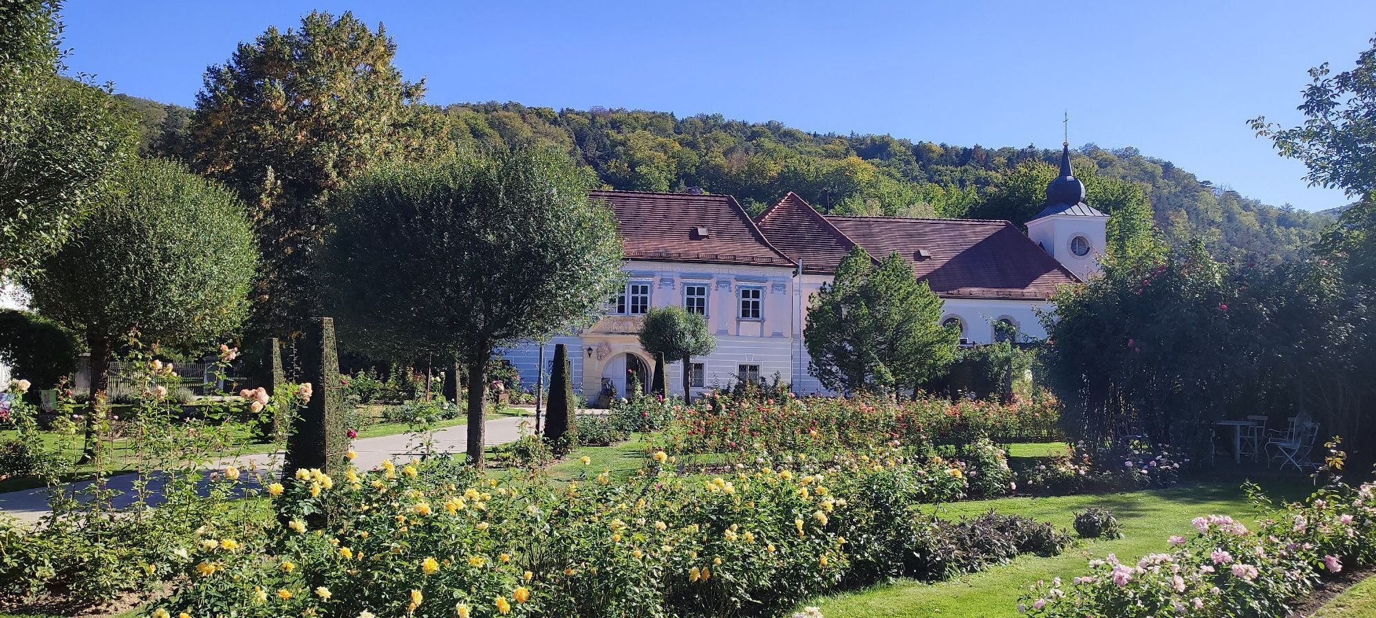
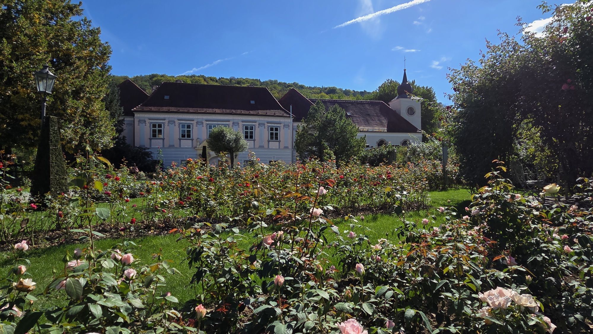
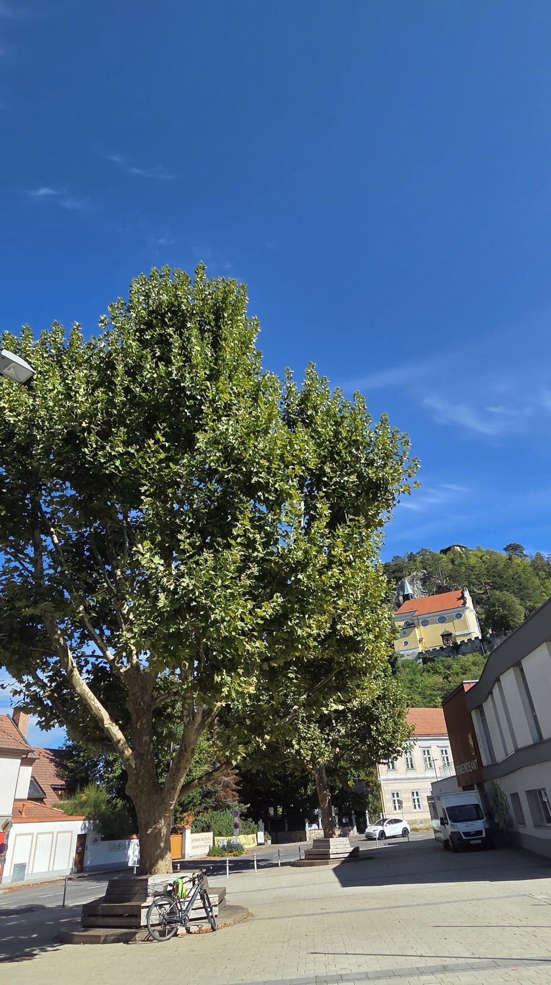


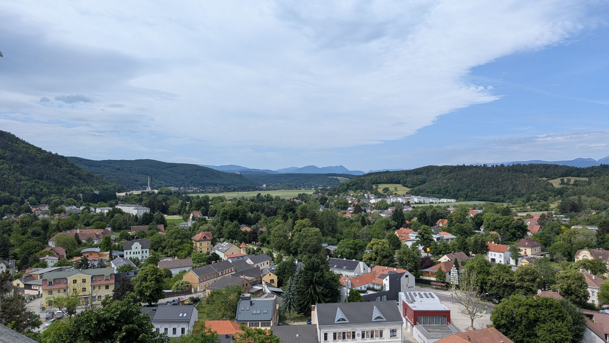
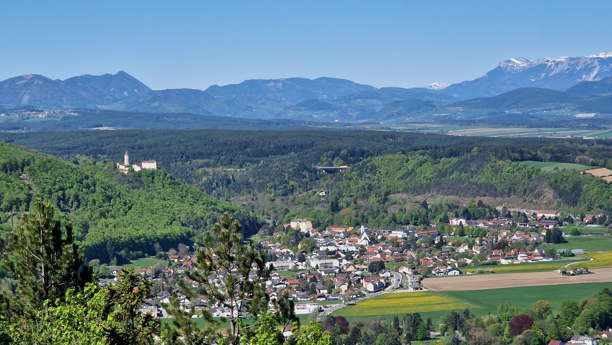
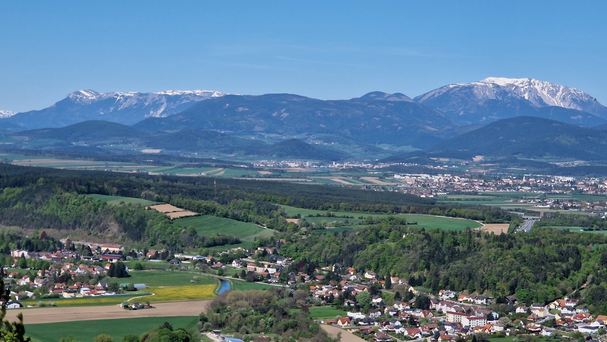
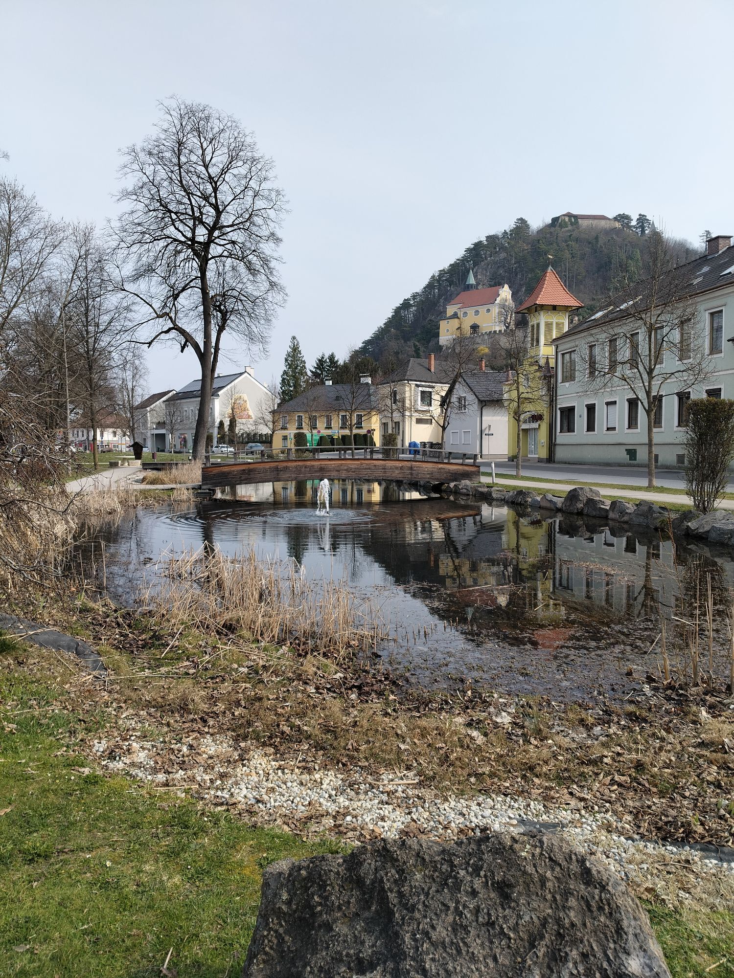
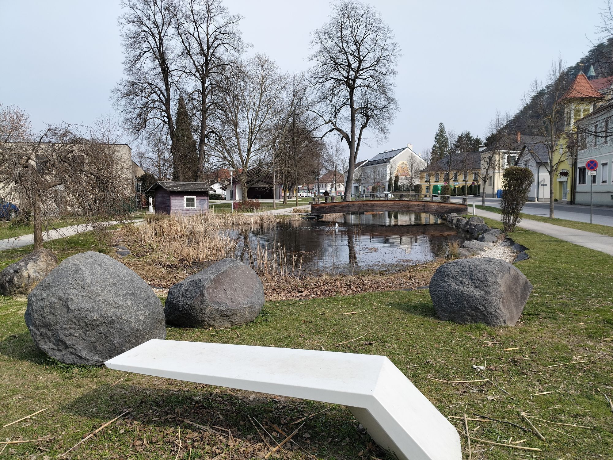
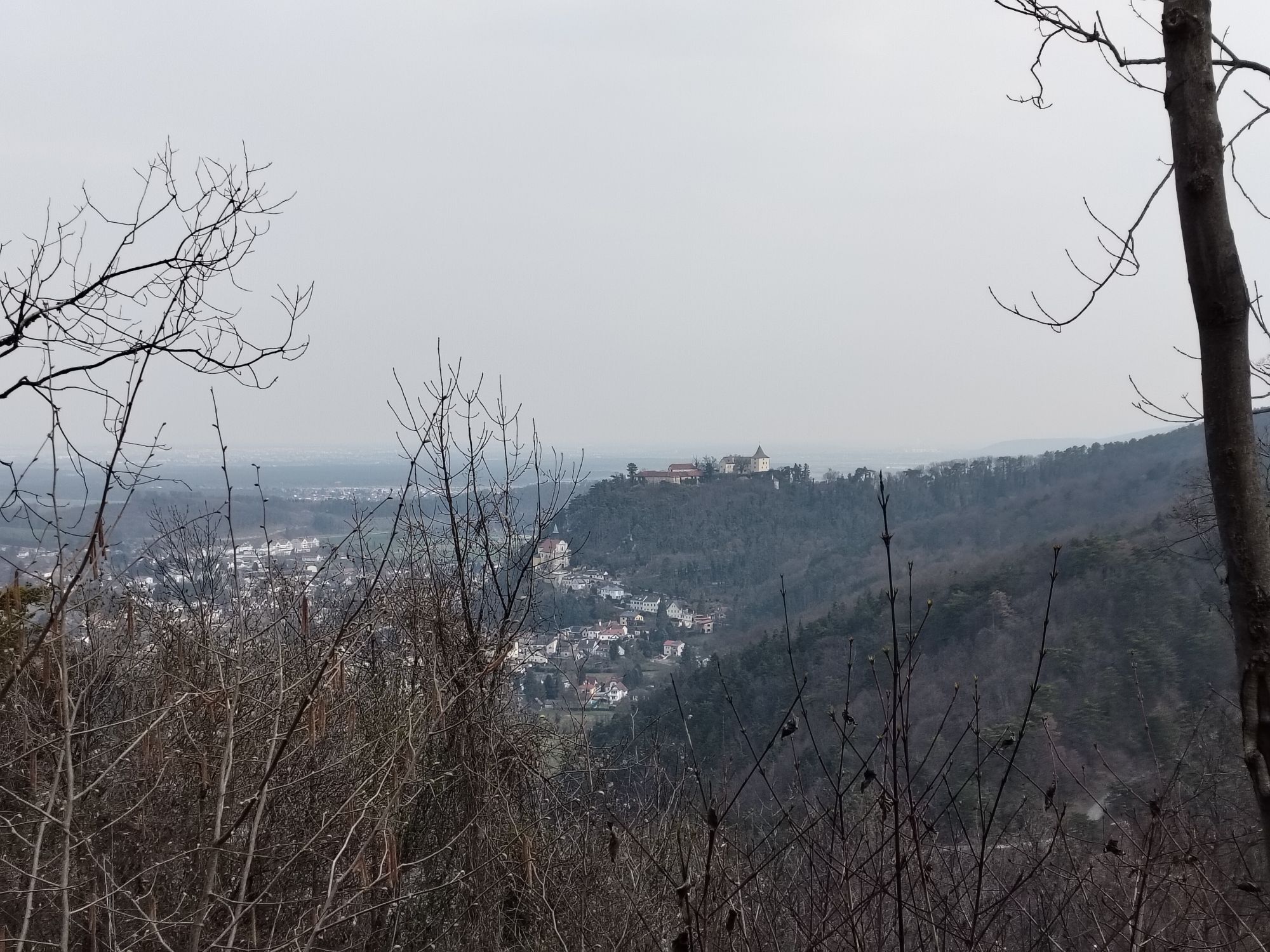
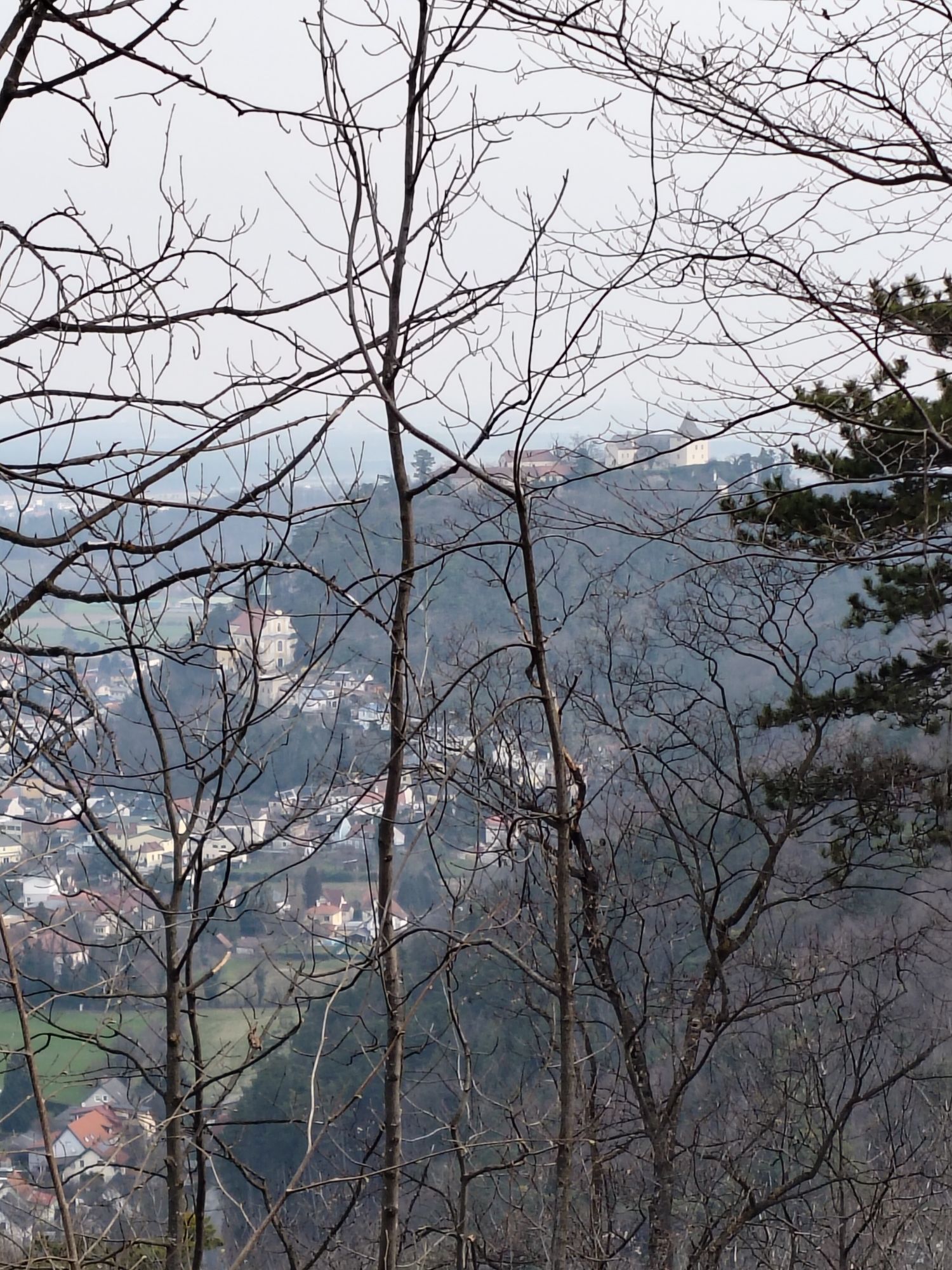
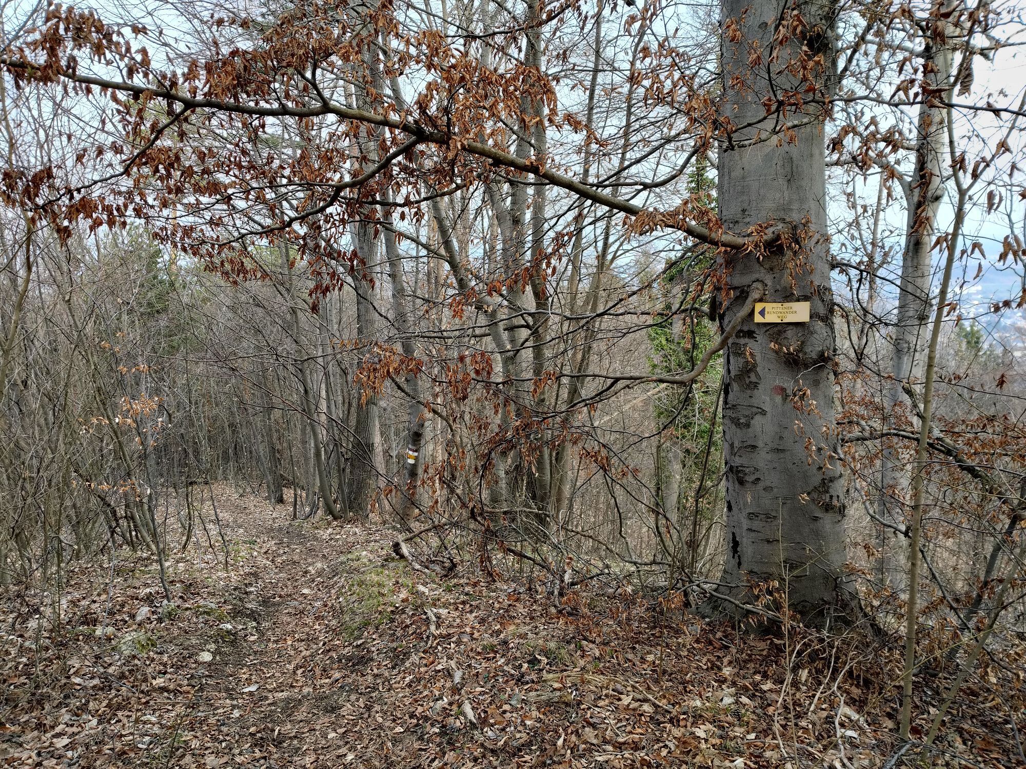
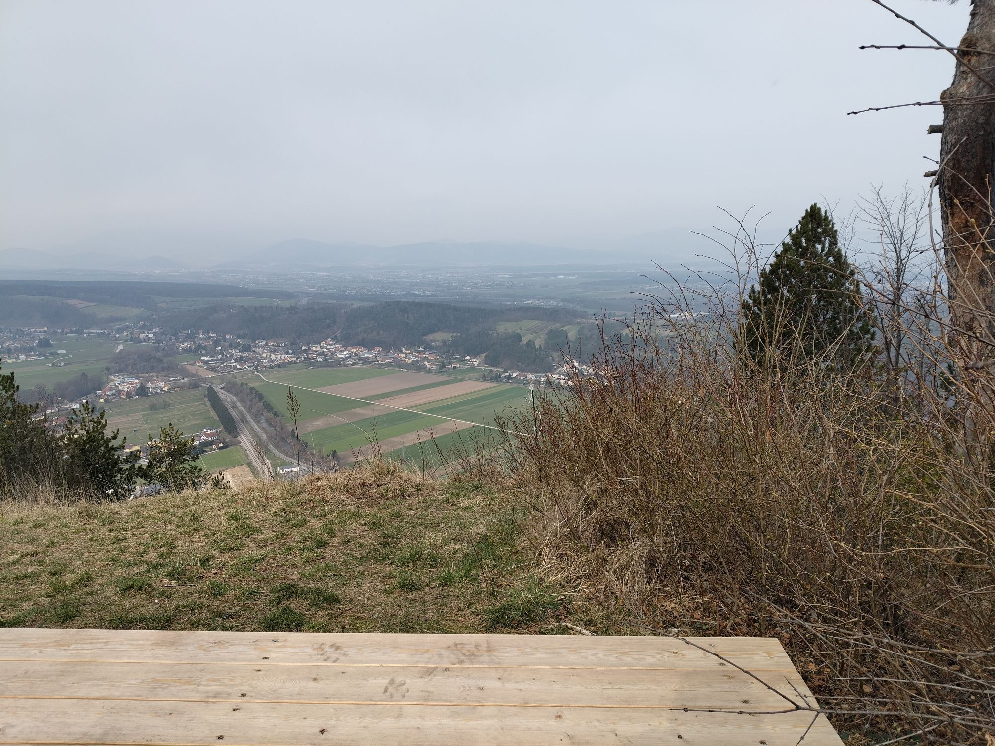



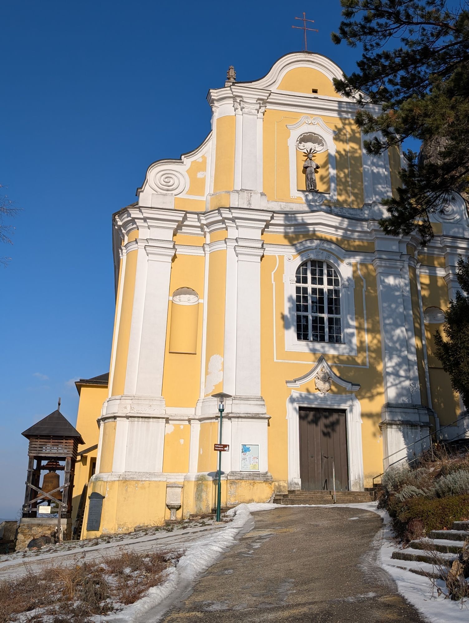
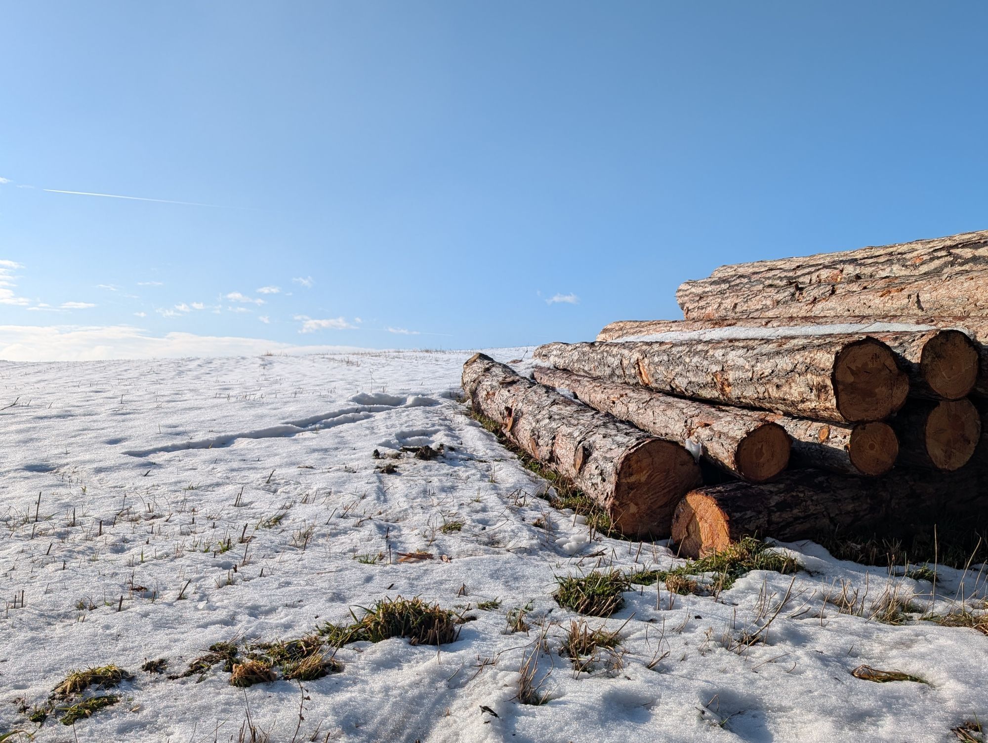
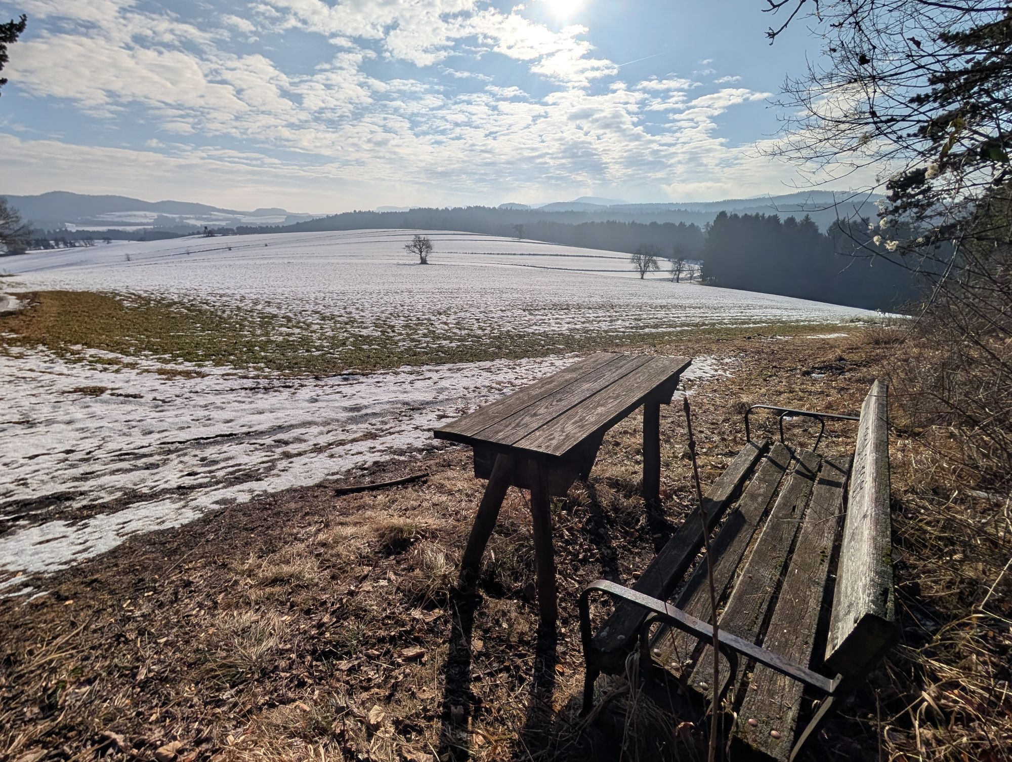
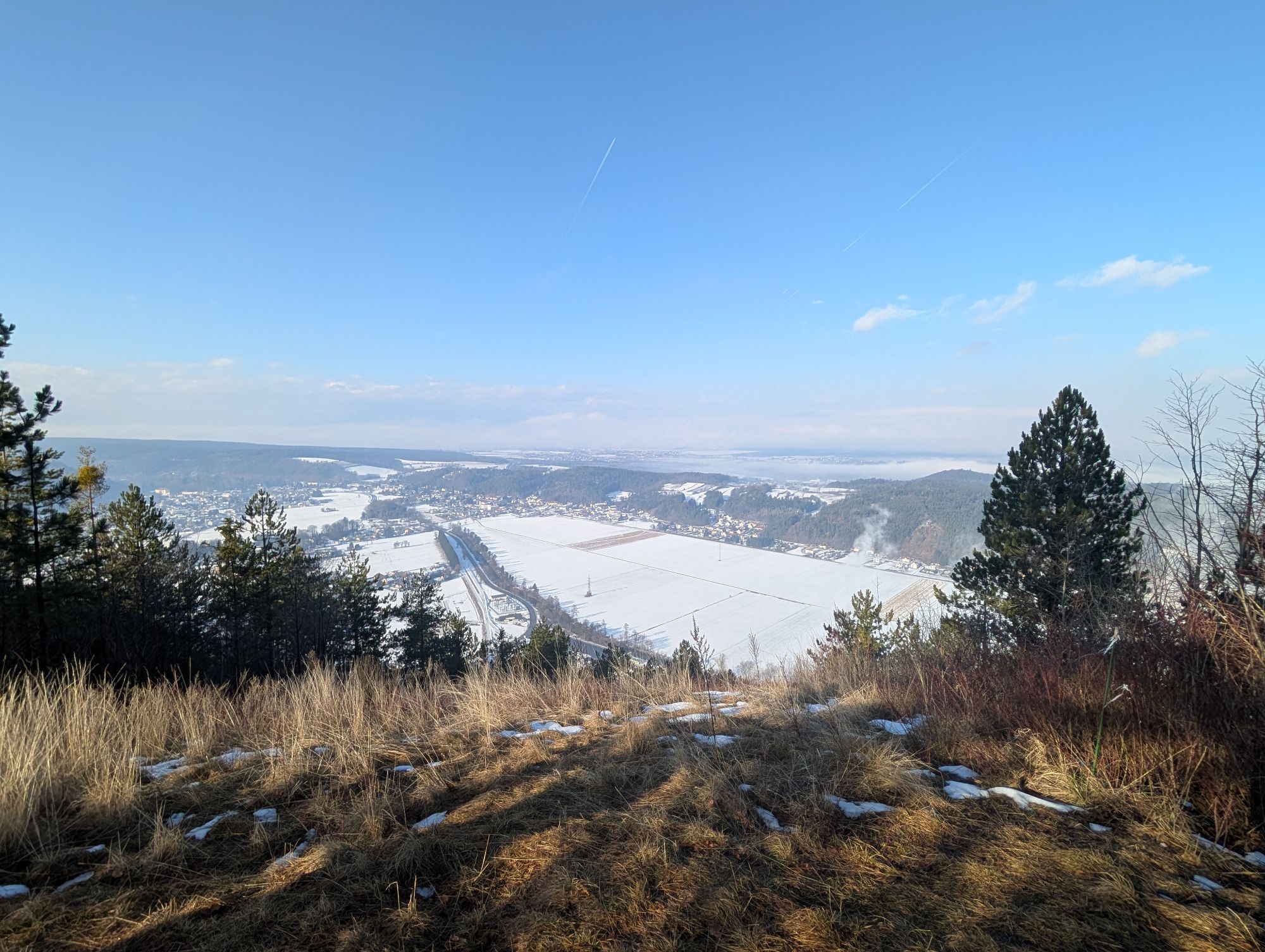
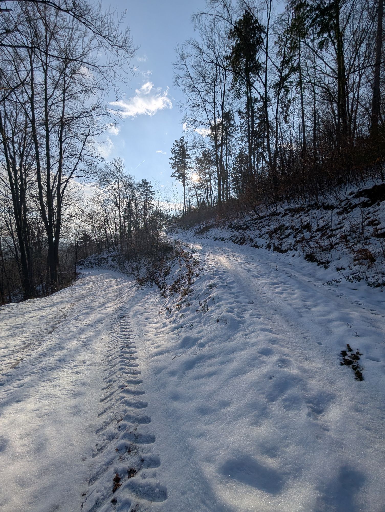
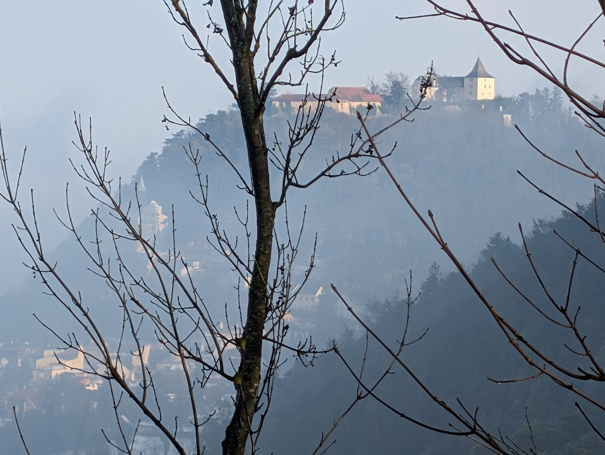
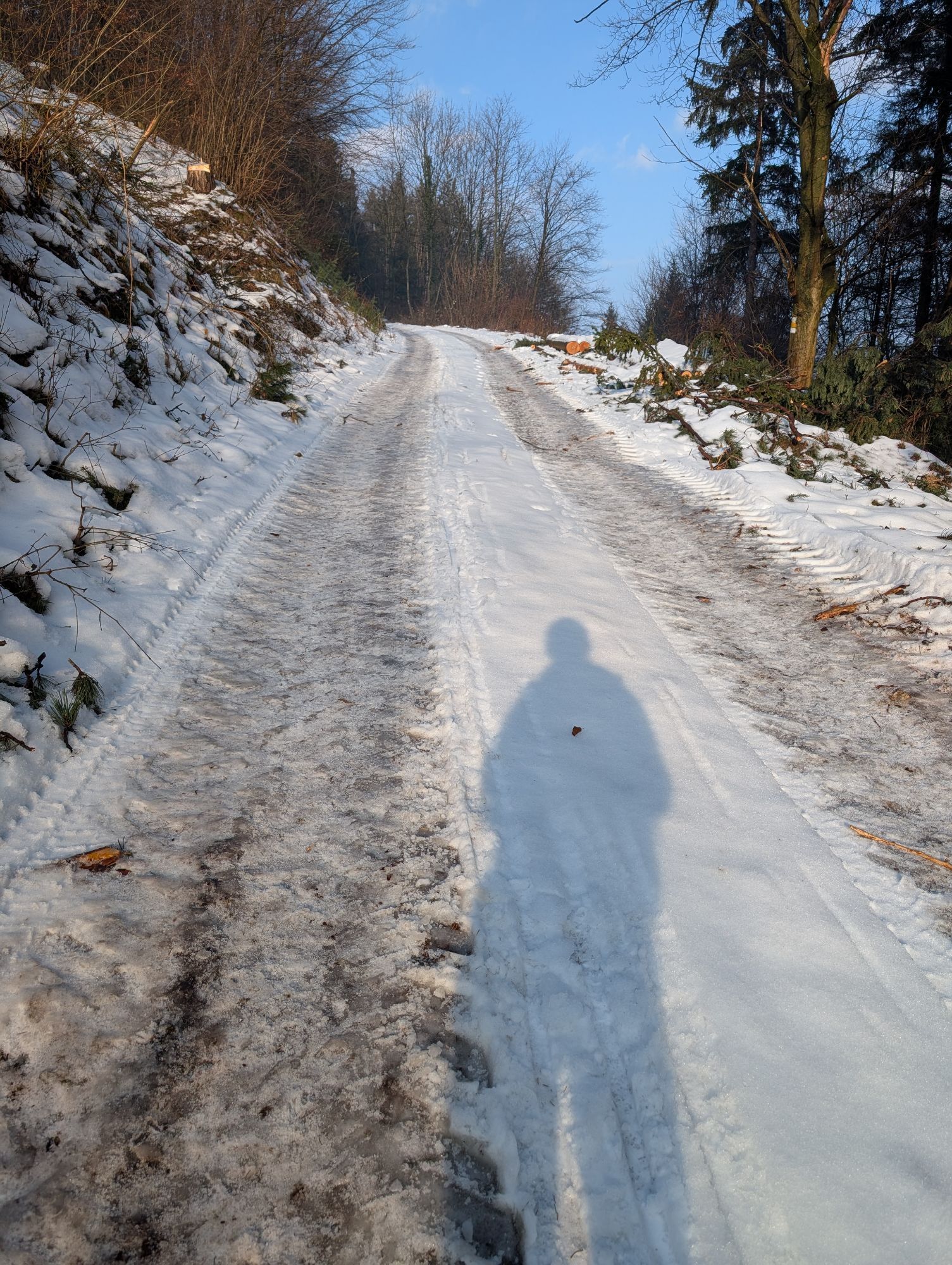


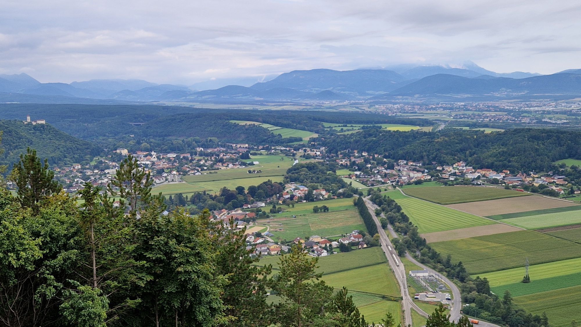
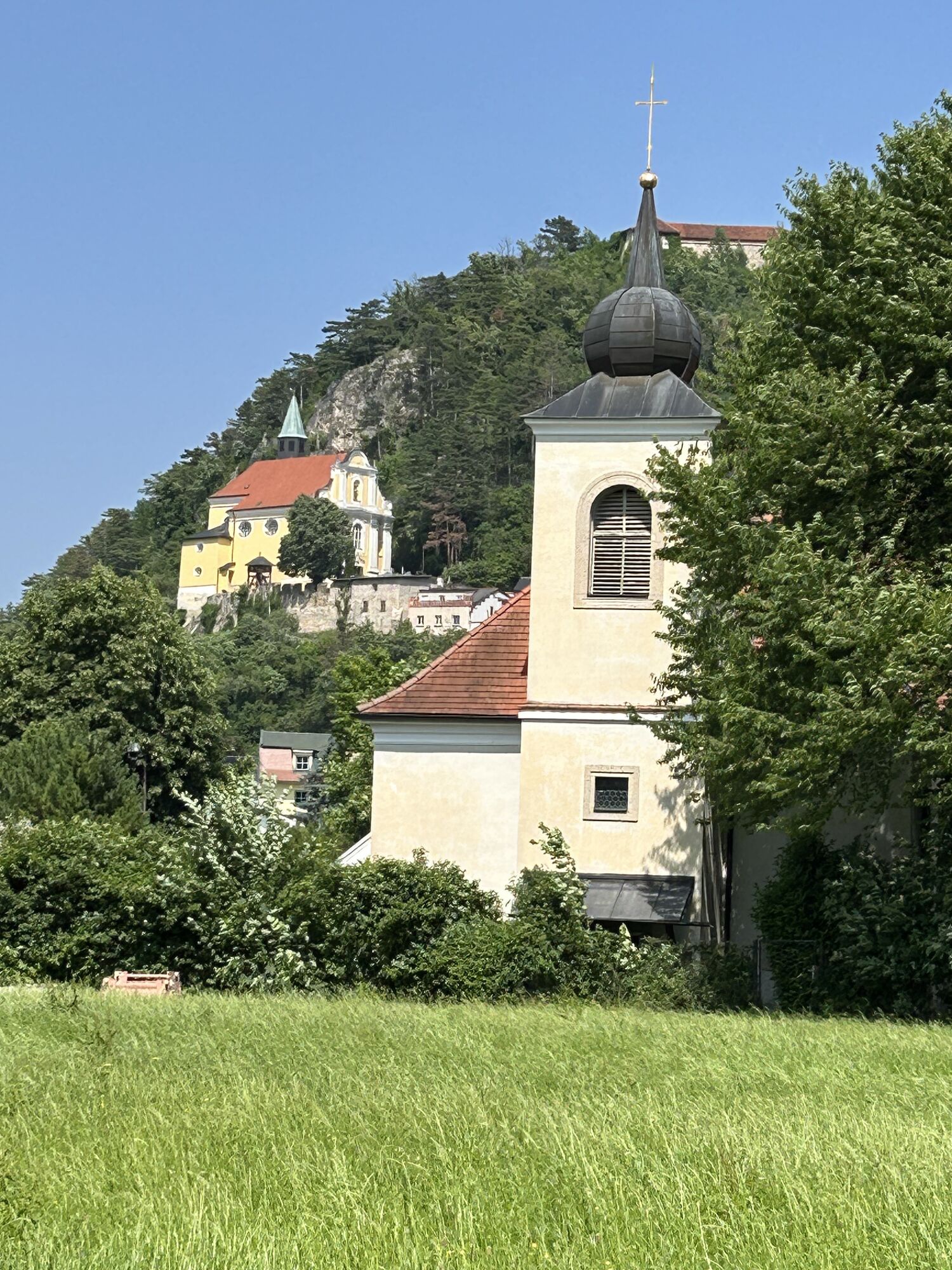
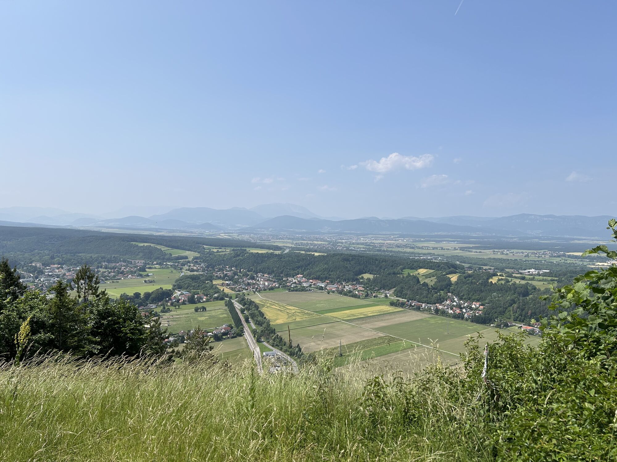
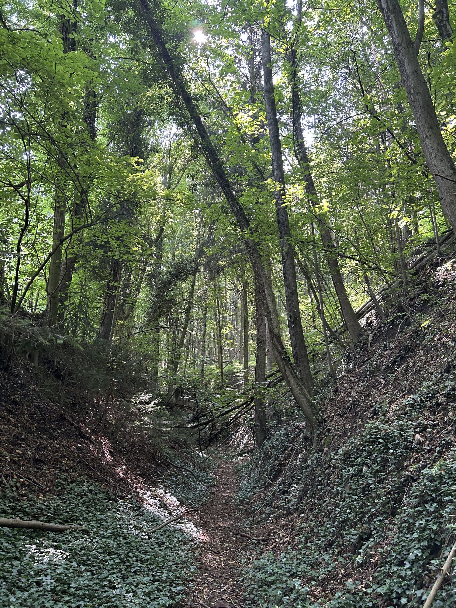
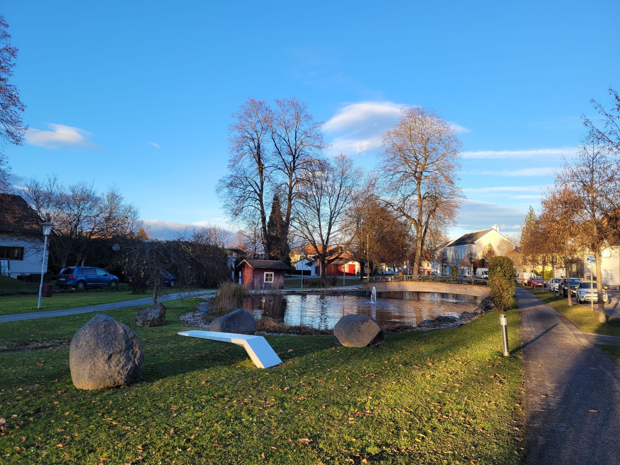
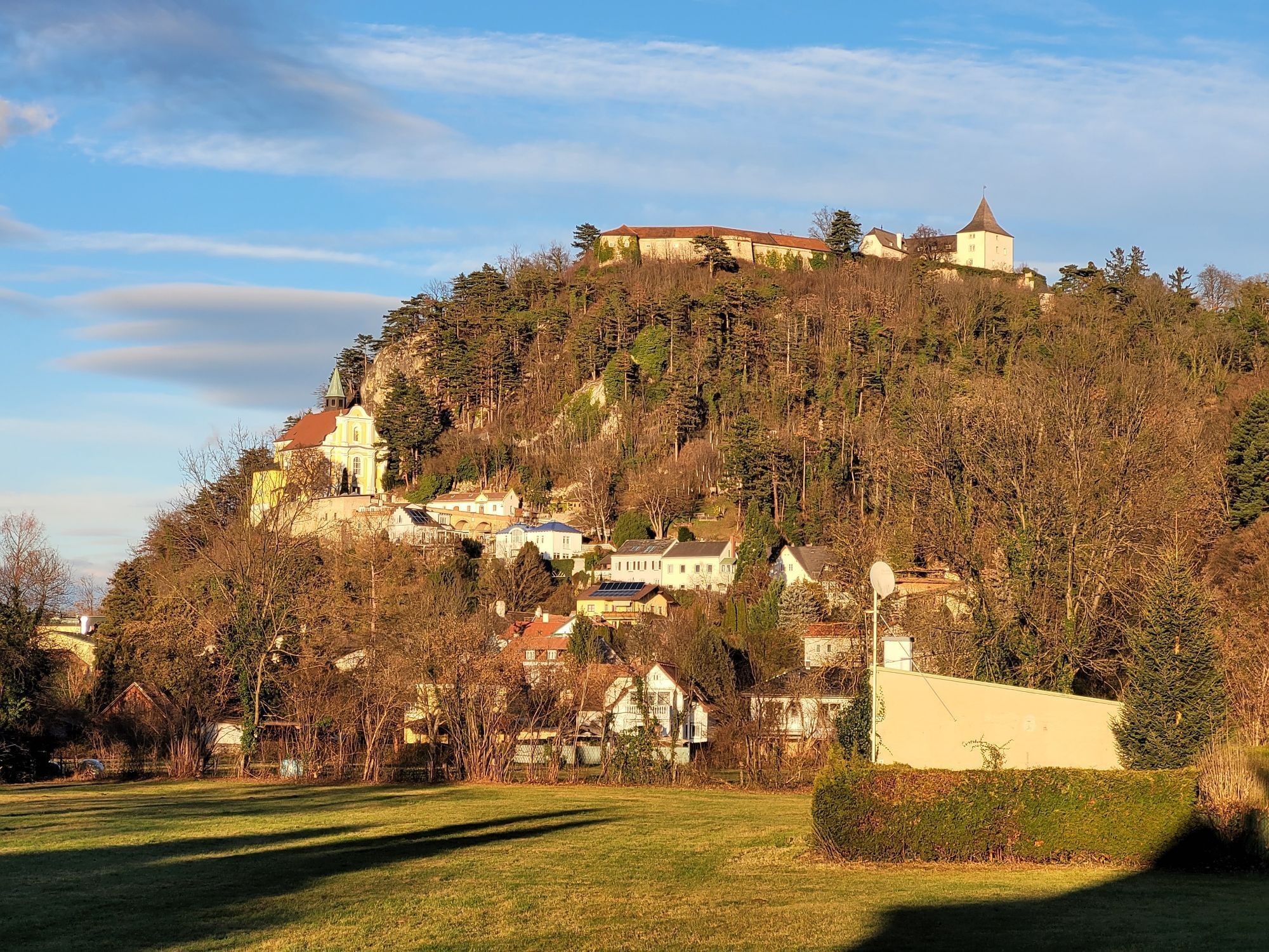
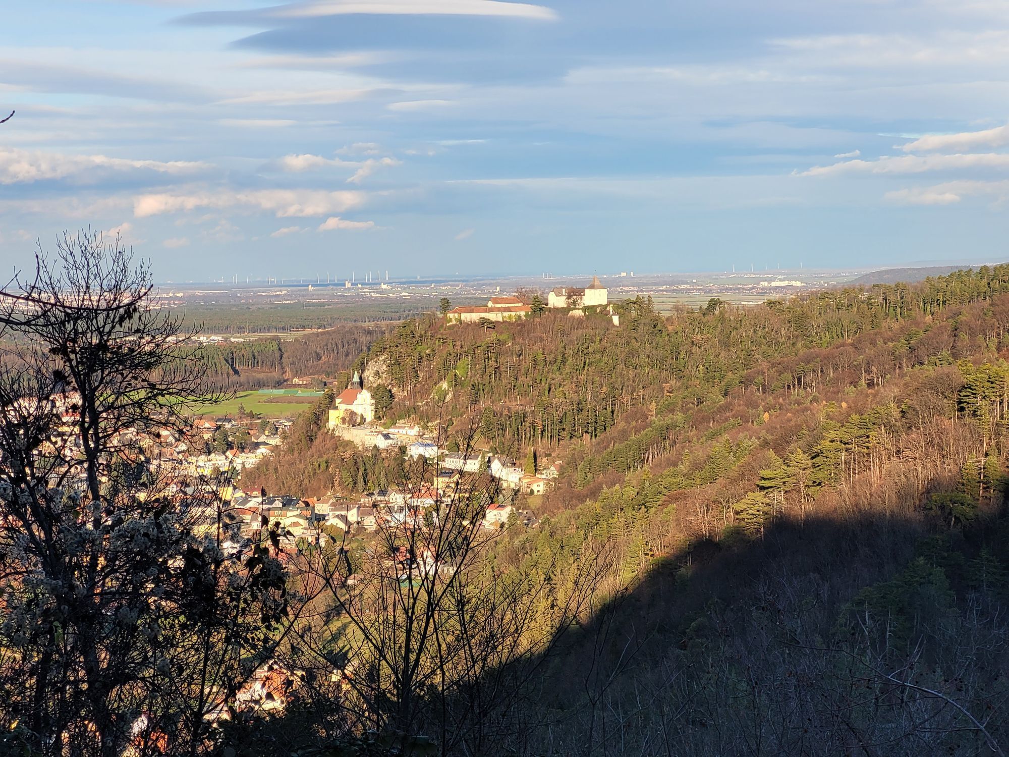
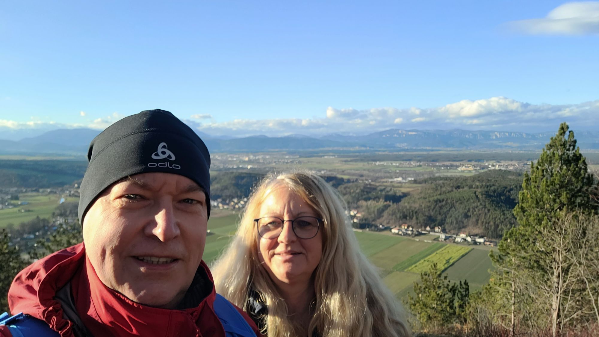
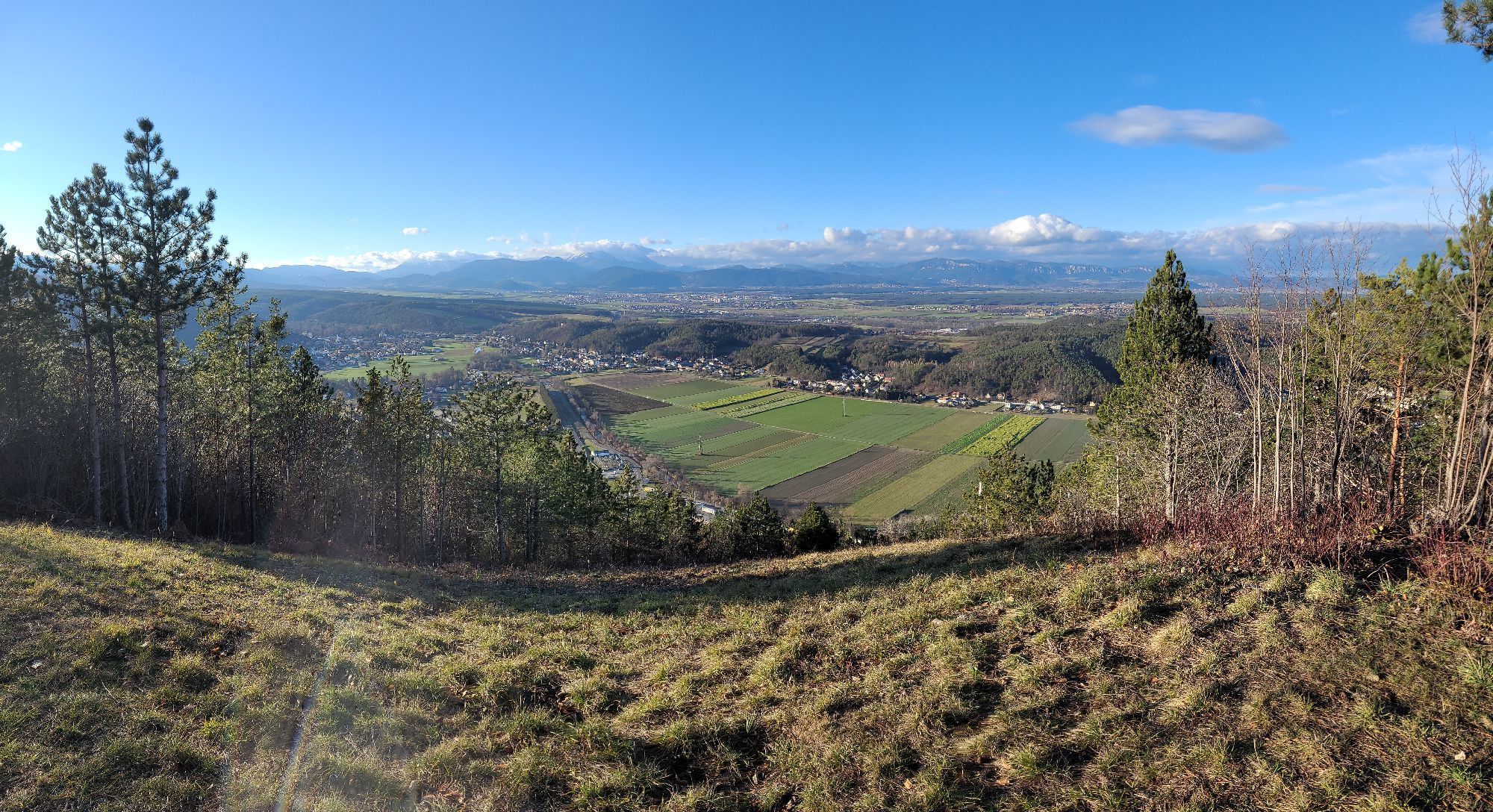
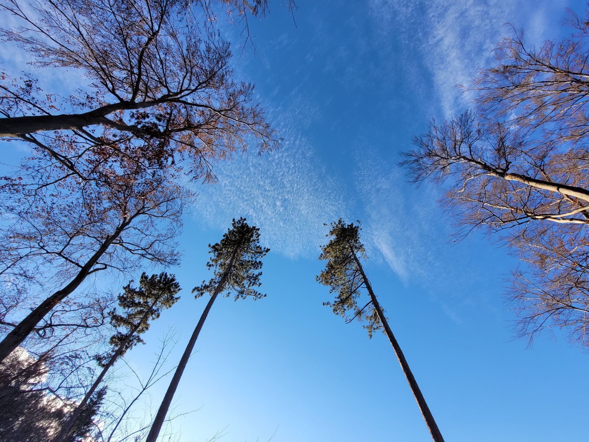
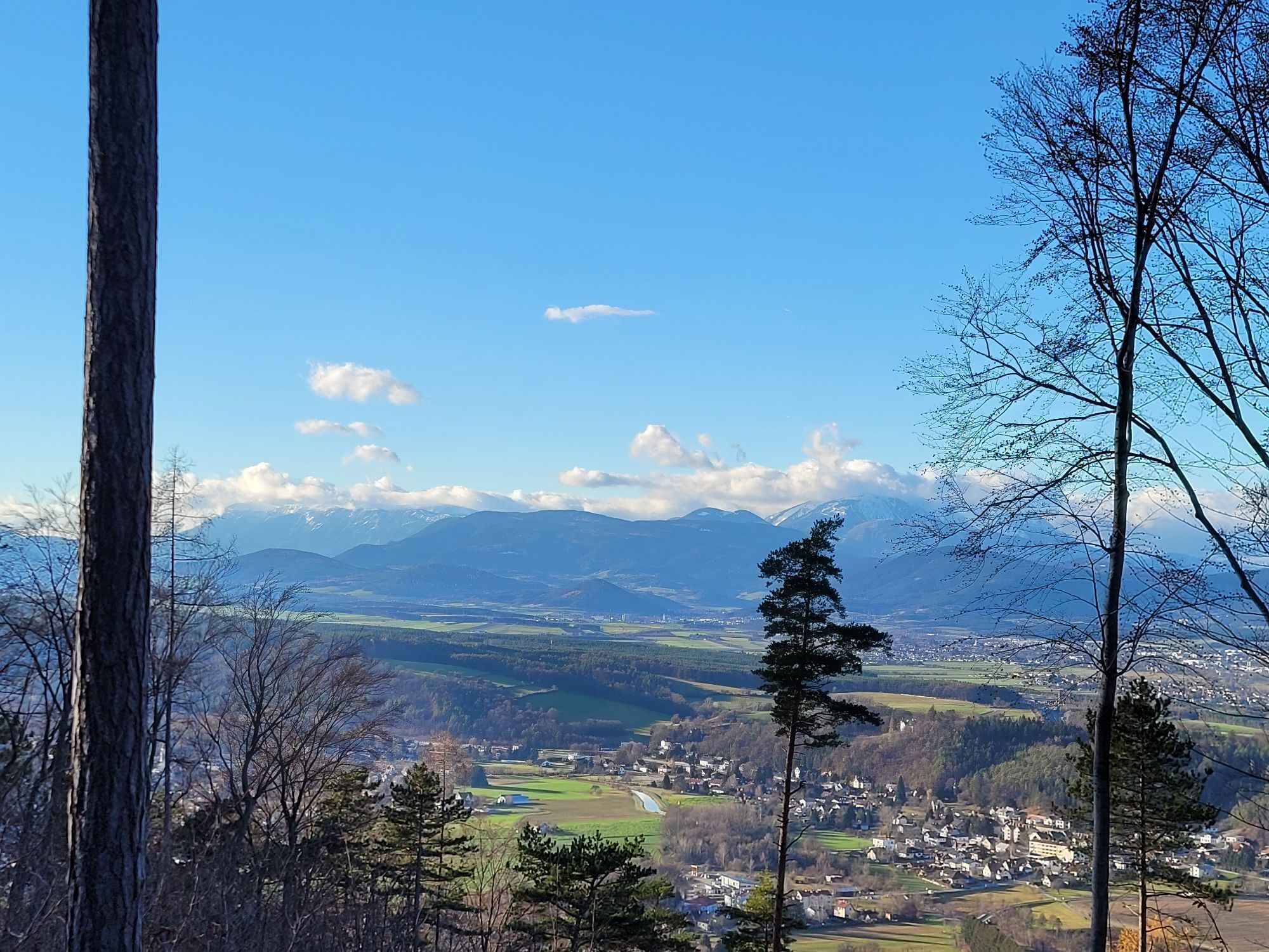
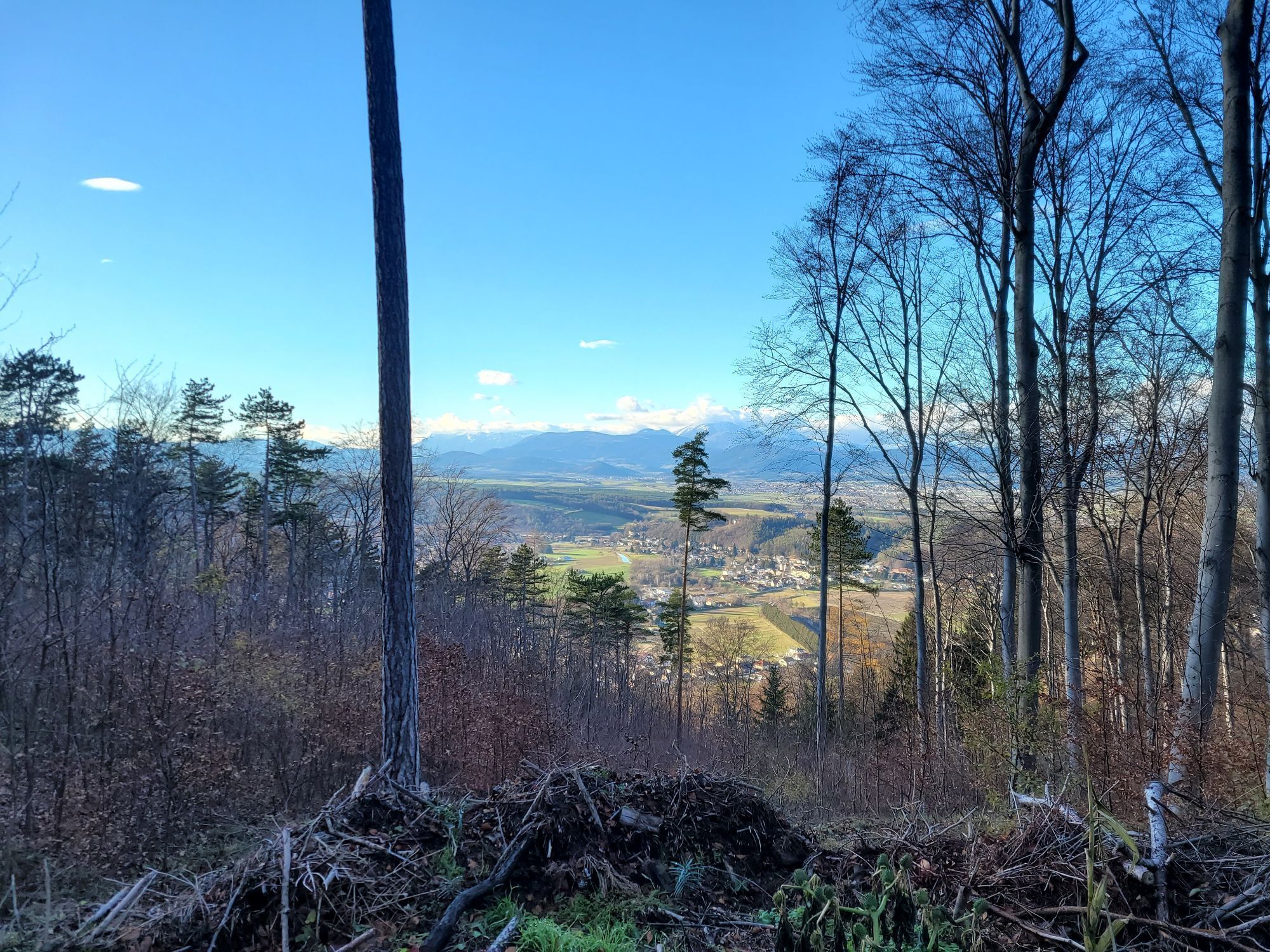
The Pitten circular hiking trail stretches over a good 10 km and can be completed in around 3 and a half hours. This trail leads through the Pitten area along beautiful forest hiking trails up to the Weißjackl...
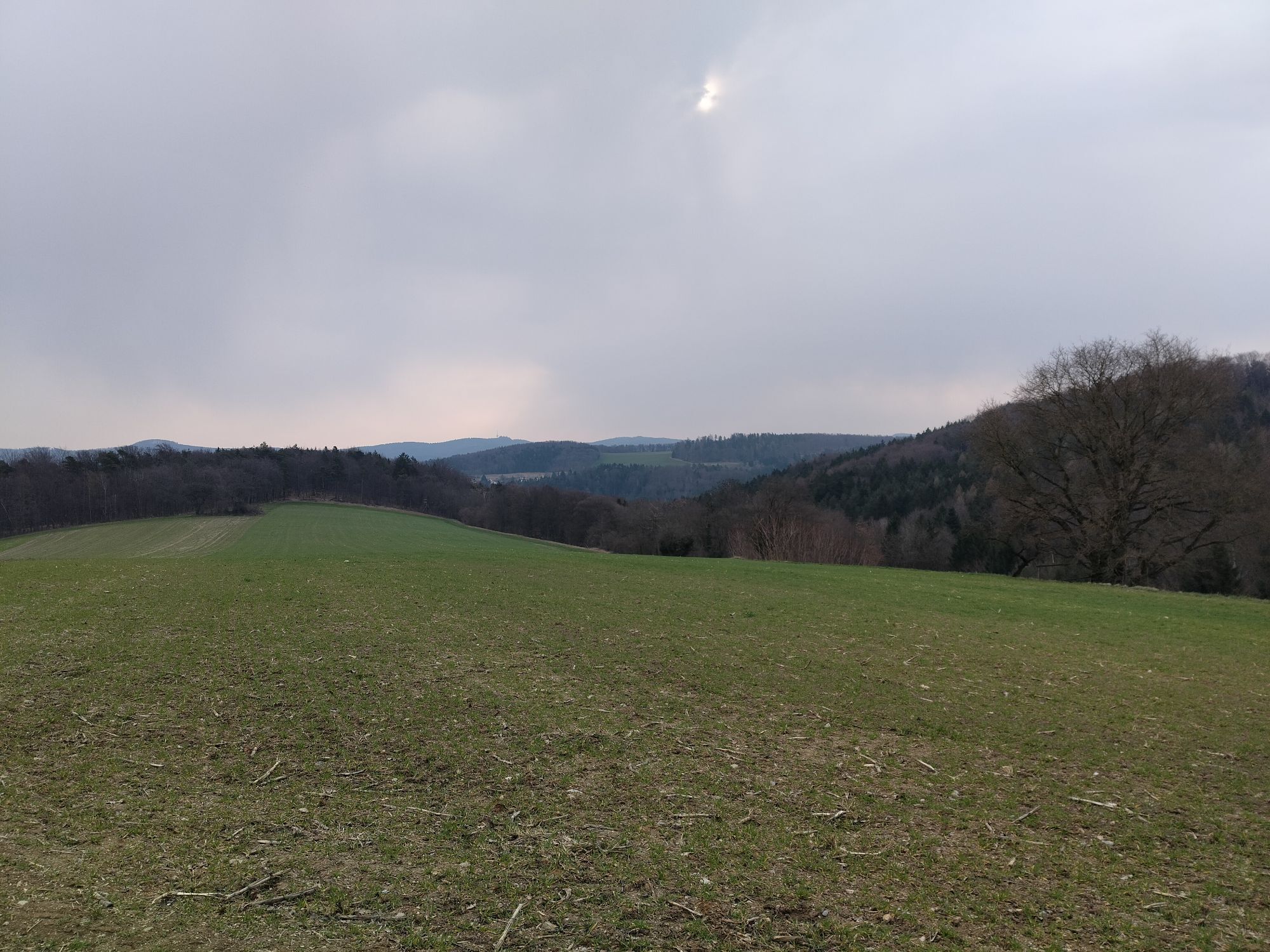
The Pitten circular hiking trail stretches over a good 10 km and can be completed in around 3 and a half hours. This trail leads through the Pitten area along beautiful forest hiking trails up to the Weißjackl summit at 576 m. From here you have a magnificent view of the Schneeber and Rax mountains. The circular hiking trail has several other viewpoints to offer, such as the view of the Hinterbrühl brickworks and lime kilns. With an average level of fitness, the Pitten circular hiking trail is an easy experience!



These directions are for starting the hike heading north. Since this is a loop trail, you can also start in the opposite direction.
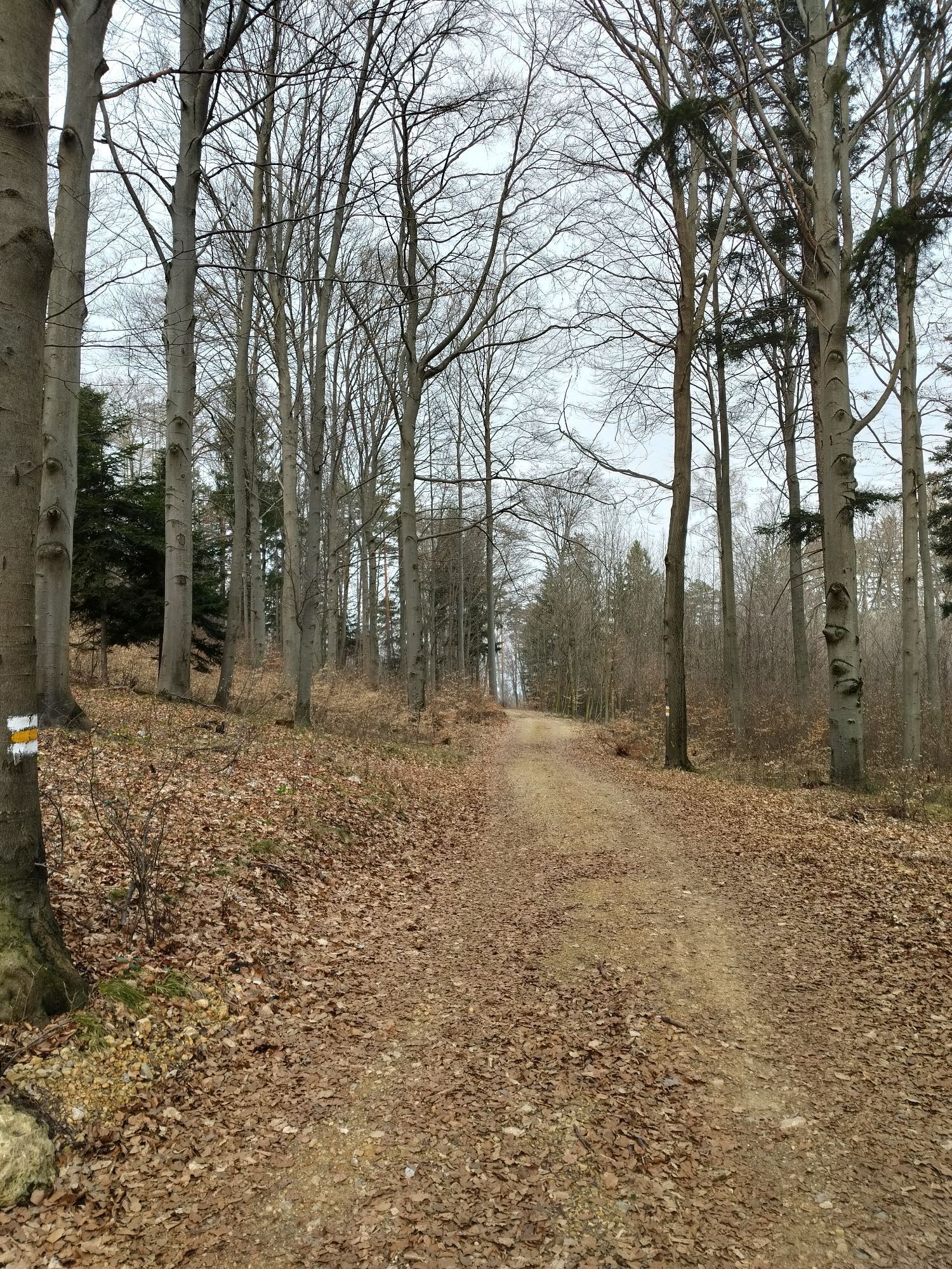
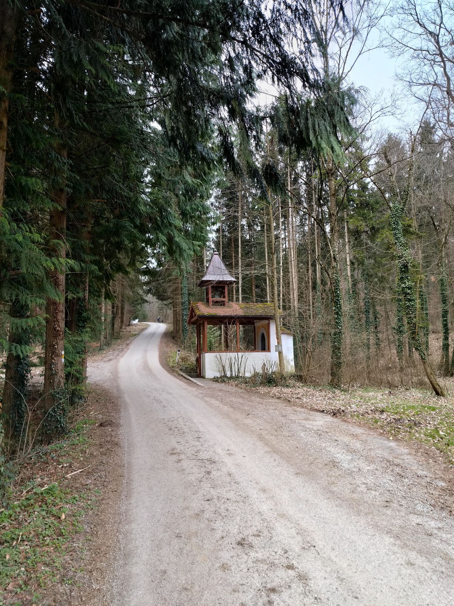
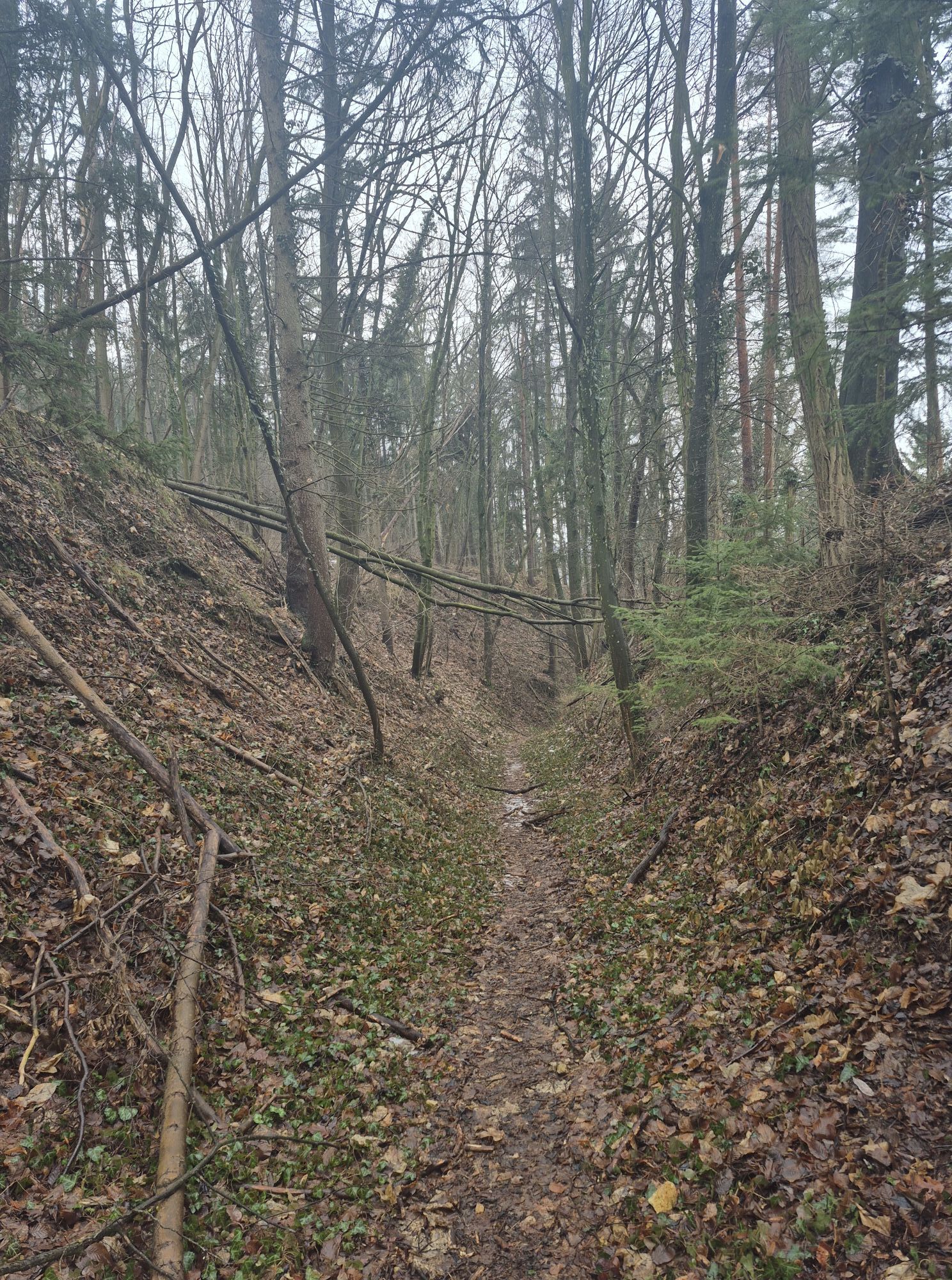
We follow the “Auf der Schmelz” trail into Georgistollengasse and then turn left onto Wr. Neustädter Straße. We continue along this street until we turn right onto Heuweg. This paved road leads to a hiking trail. We follow this trail to a T-intersection, where we take a sharp left. Now we keep to the right until we reach Leiding. At the fork in the trail past the chapel, we keep to the left and then turn right onto the next hiking trail. We walk uphill along the trail until we reach a fork, where we keep to the right. We have now reached the highest point of our route. The trail leads downhill along partly paved roads back into the village, where we turn right onto Aspanger Straße from Leidinger Straße. We follow the road and turn left onto Pfarrwiesenweg. If we now continue straight ahead along the streets, we’ll return to the starting point.
Good Footwear
From Graz: Take the A2 Südautobahn and exit at Seebenstein. Follow Wiener Neustädter Str./B54, then take Seebensteiner Str., Sauterner Str., and Obere Feldstraße. Follow the signs to Pitten.
From Vienna: Take the A2 Südautobahn and exit at Neunkirchen-Ost; drive onto Neunkirchner Str./B17; at the roundabout, take the third exit (L4110); turn right onto Wechsel Str./B54; turn left onto Pittener Straße. Follow the signs to Pitten.
From Vienna or Graz: Take the Aspangbahn via Wiener Neustadt to Pitten.
Free parking is available right behind the town hall on the market square.
Responsible for the content of this tour
Vienna Alps in Lower Austria - Bad Erlach
Last update: 17.03.2025
At Pension Manhalter or the Unger Restaurant and Wine Bar, you can order delicious takeout meals in advance.

Obľúbené výlety v okolí
-
4,7
Seebenstein - Türkensturz - Burg Seebenstein
svetloTuristika 7,50 km -
4,6
Bucklige Welt: Auf dem Pittentaler Klettersteig zum Türkensturz
strednáVia ferrata 1,96 km -
4,3
To the Wiesen/Lanzenkirchen observation tower from the Rosalia
svetloTuristika 4,25 km -
4,3
Türkensturz Rundwanderung
strednáTuristika 2,56 km -
4,8
Forchtenstein-Rosalienkapelle
svetloTuristika 7,86 km -
4,3
Naturlehrpfad Katzelsdorf
svetloTuristika 3,81 km -
4,2
Rosalia: Lanzenkirchen - Aussichtsturm
svetloTuristika 11,1 km -
4,0
Bucklige Welt: Burg Grimmenstein und Kulmriegel
svetloTuristika 10,5 km -
4,3
Türkensturz große runde
strednáTuristika 11,4 km -
4,6
M32 On the Gspitzter Riegel from Bad Sauerbrunn
strednáTuristika 8,73 km
Turistika a stopovanie


Nenechajte si ujsť ponuky a inšpiráciu na ďalšiu dovolenku
Vaša e-mailová adresa bol pridaný do poštového zoznamu.


