







Winter hike to Eichbüchl in Katzelsdorf
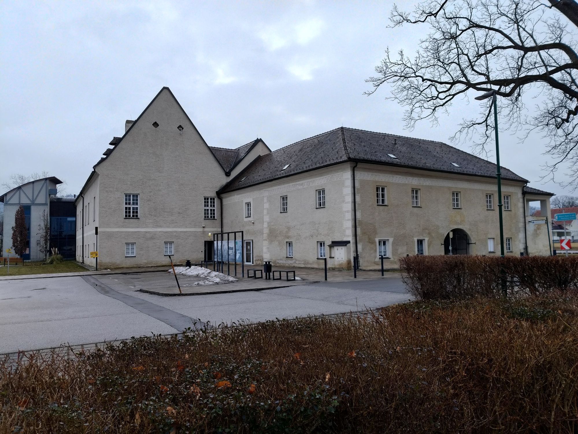
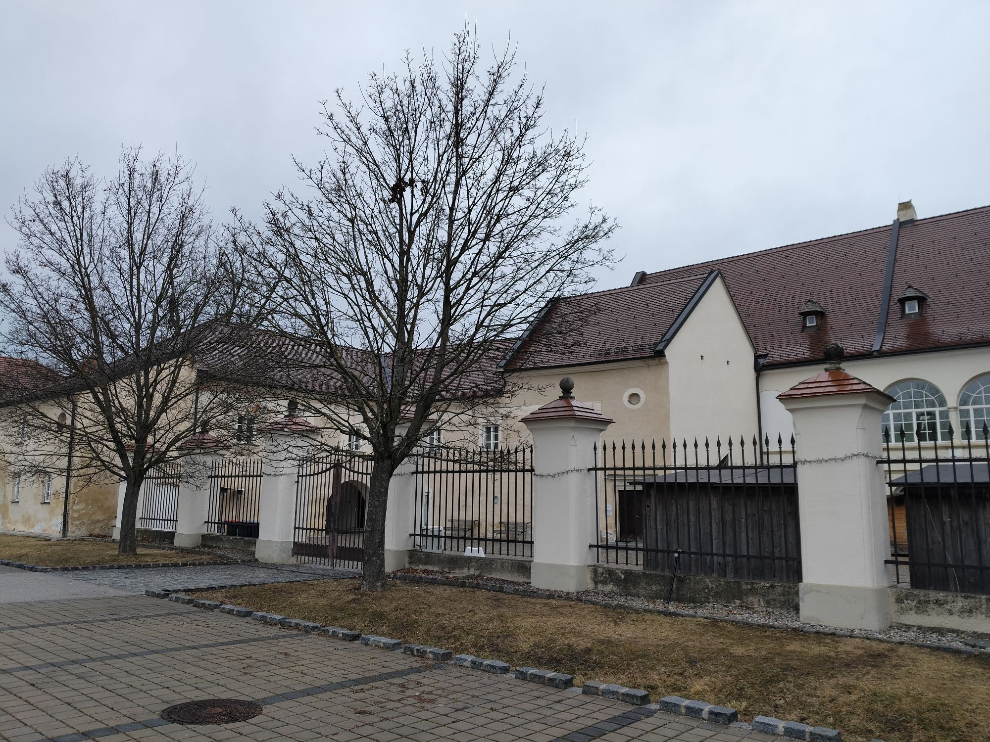
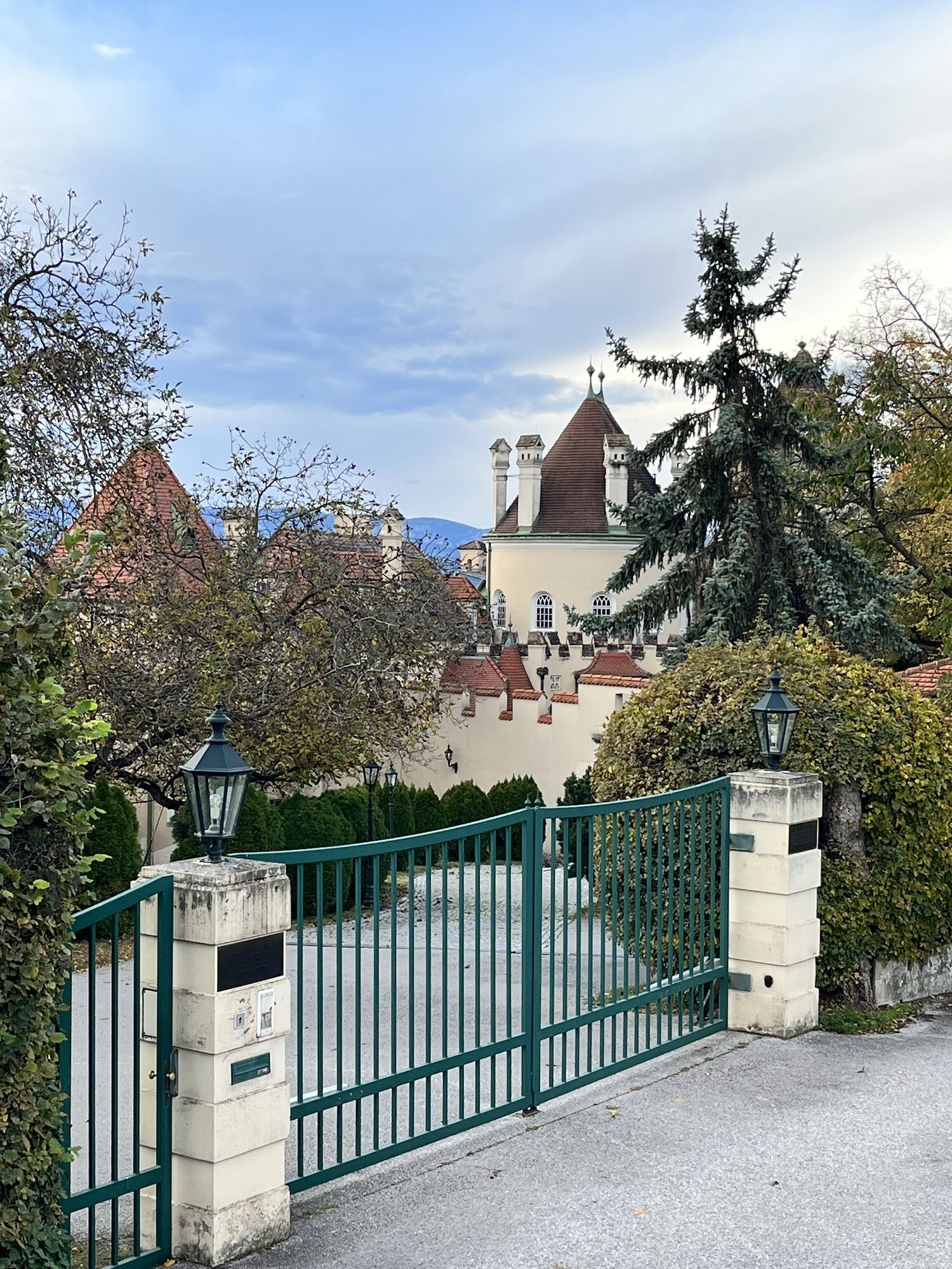

The starting point is Katzelsdorf Castle. The district of Katzelsdorf is nestled between the Leitha river and the Rosaliengebirge mountains and has a lot to offer. In the Eichbüchl district, there are...
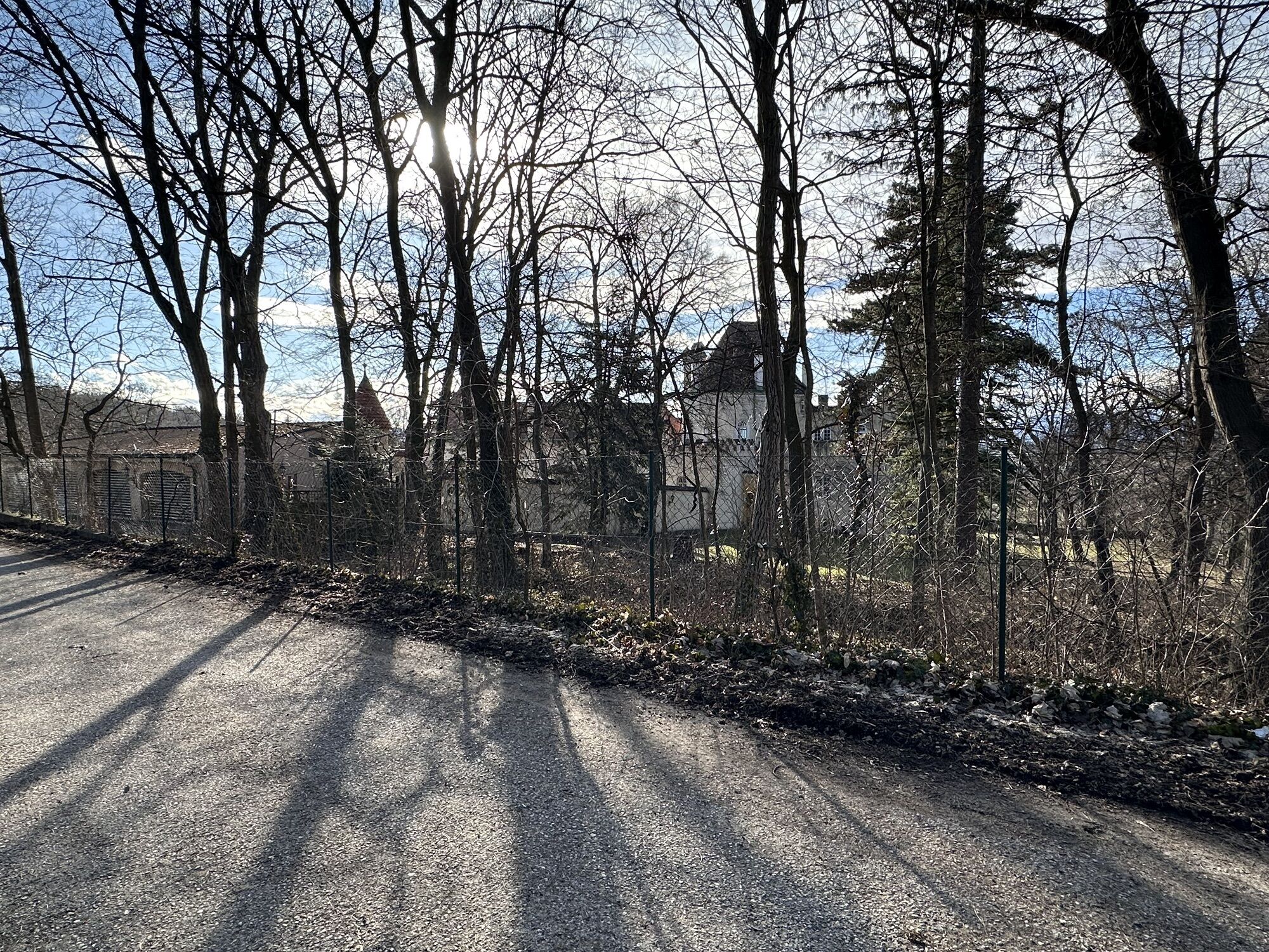
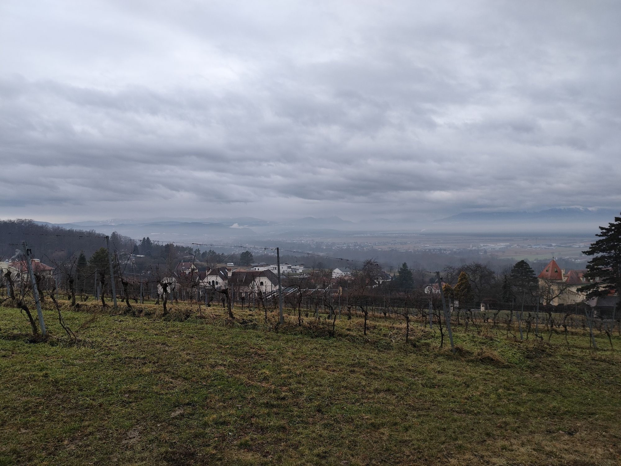
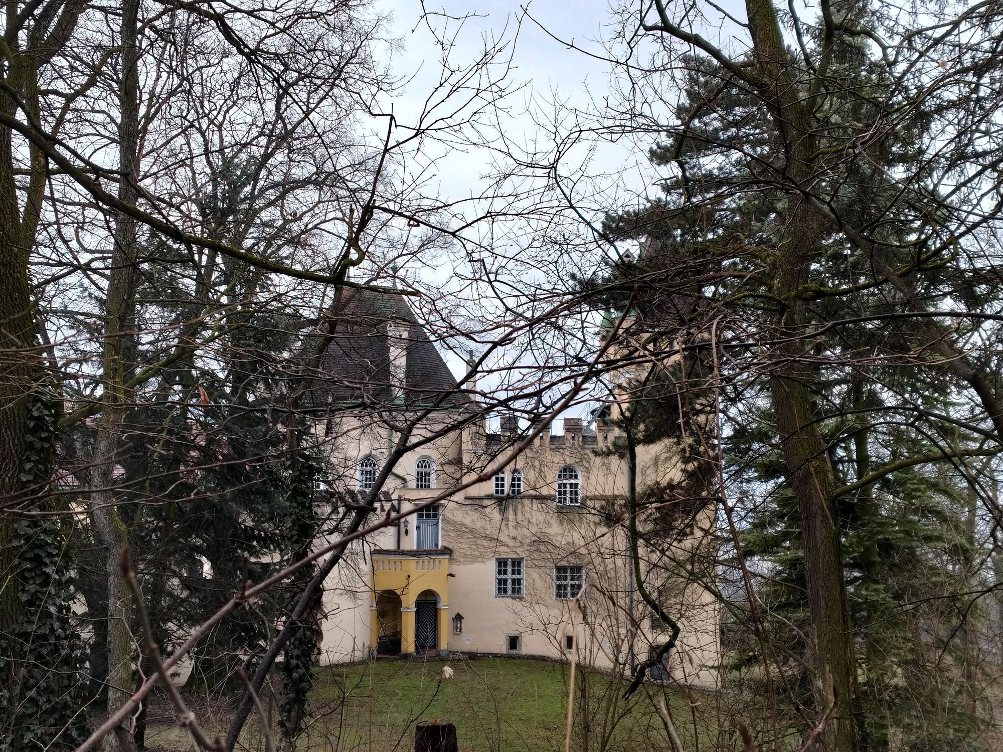
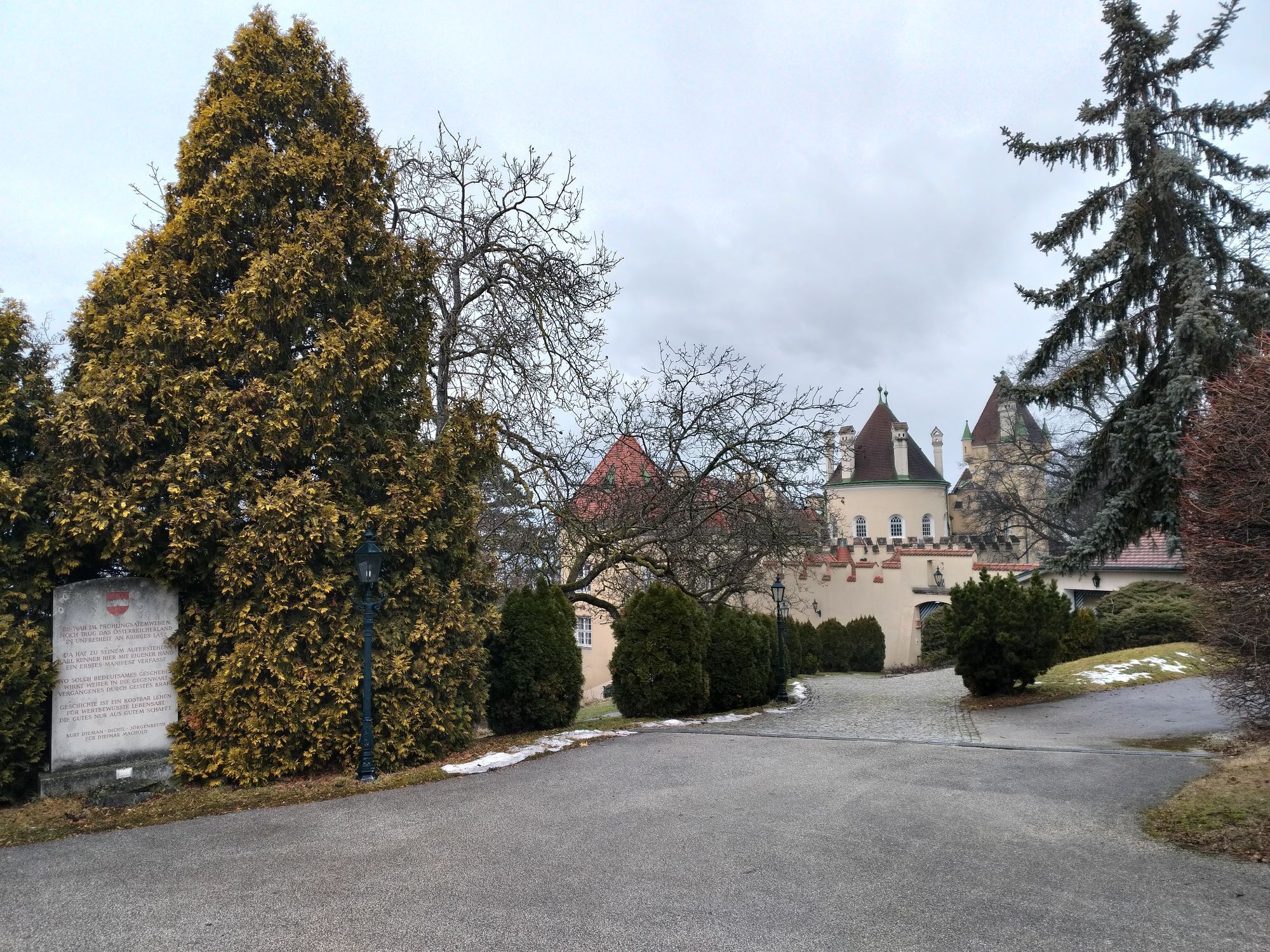
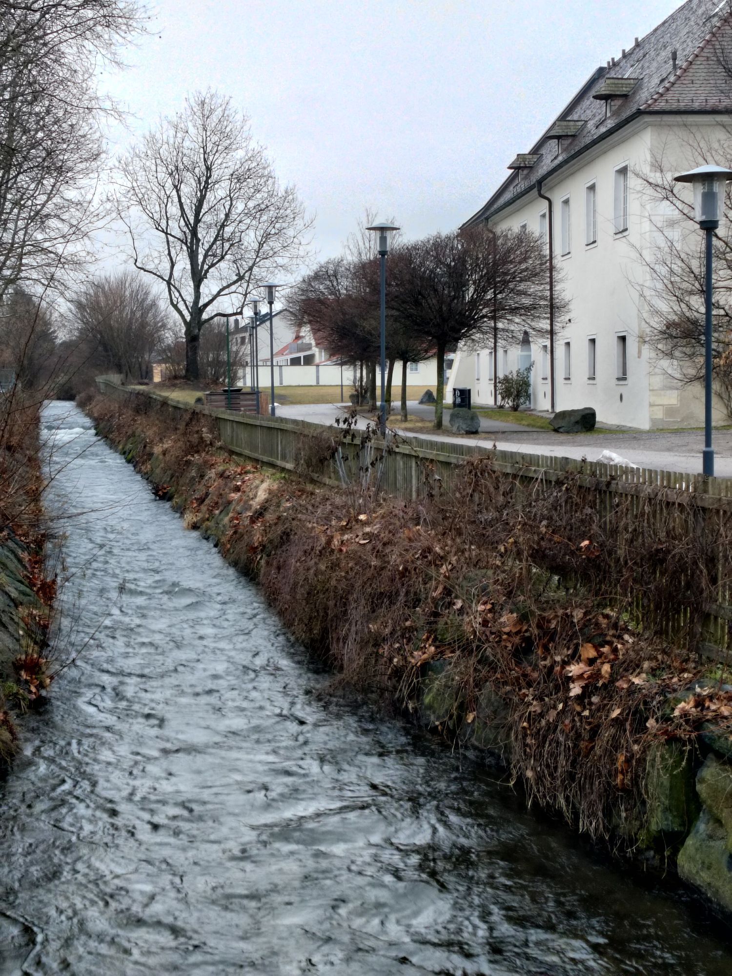
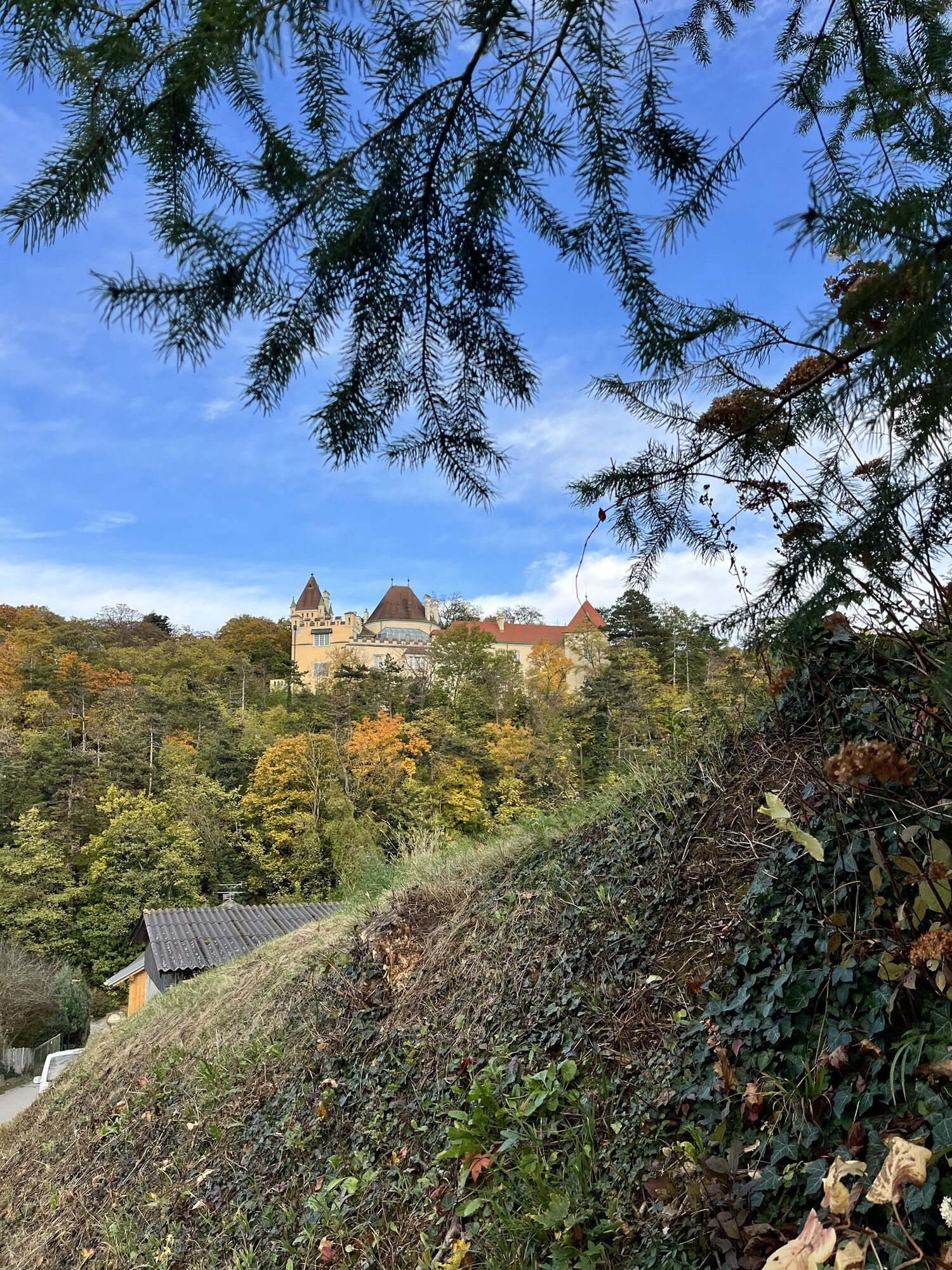
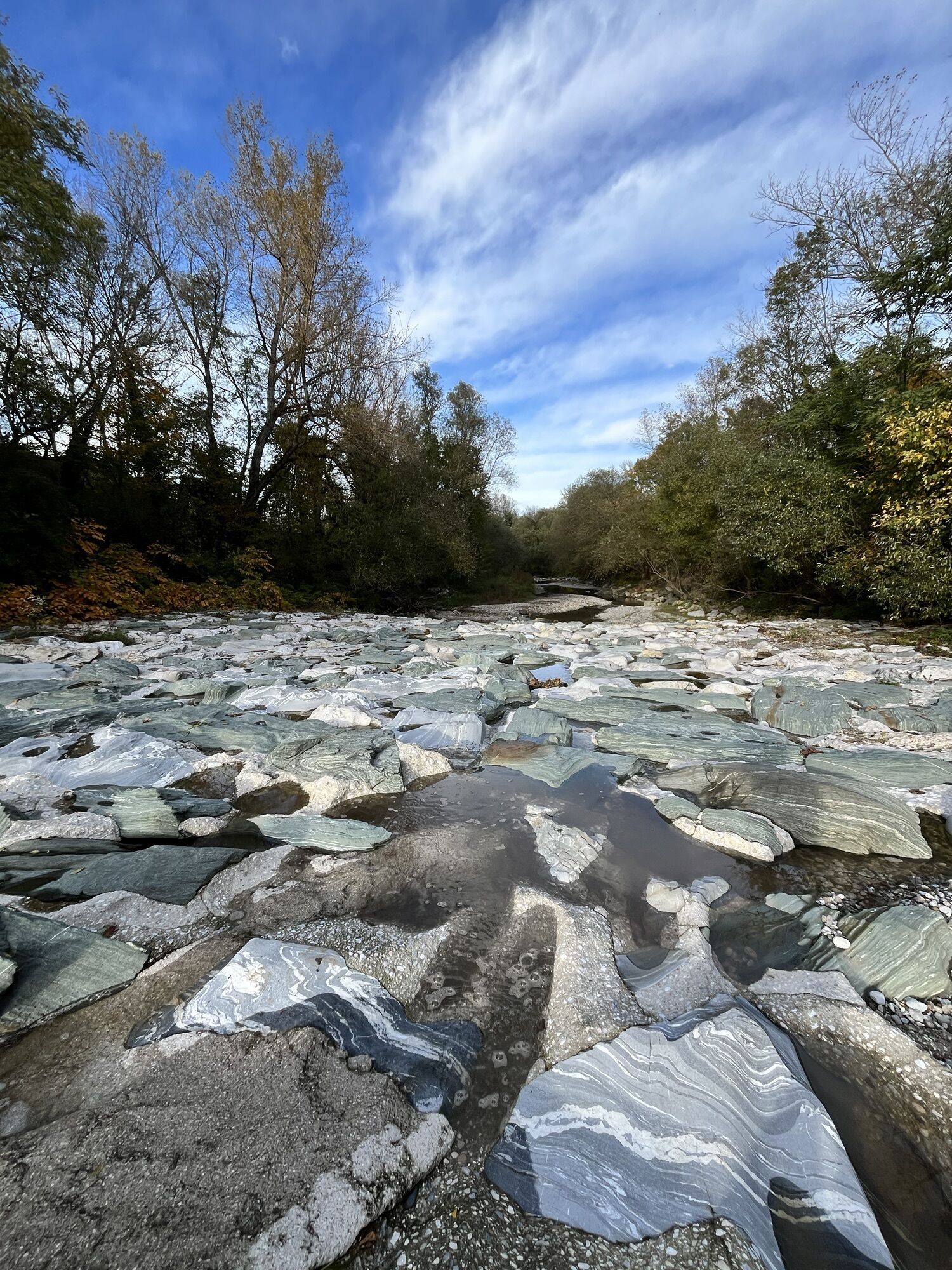
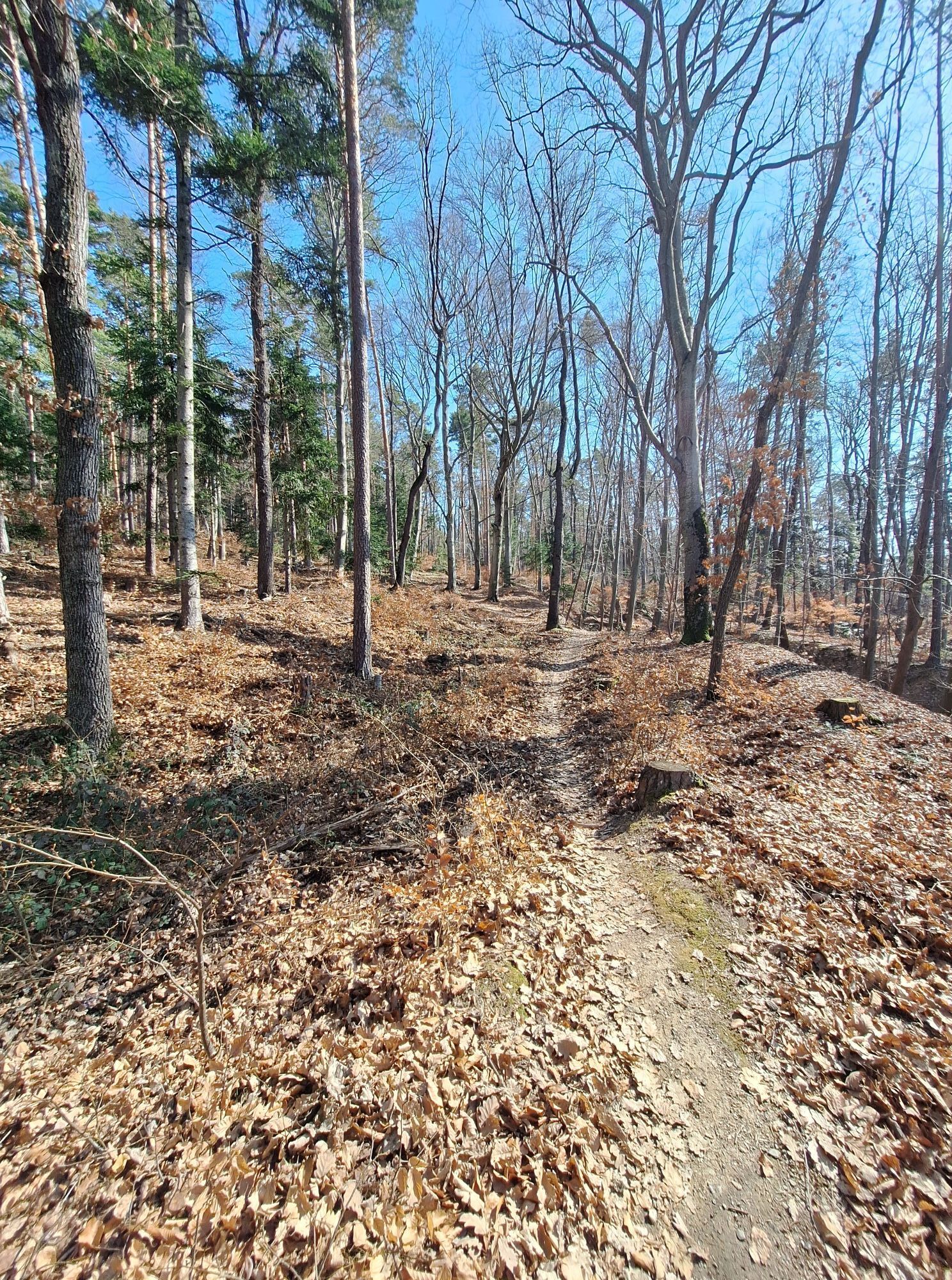
The starting point is Katzelsdorf Castle. The district of Katzelsdorf is nestled between the Leitha river and the Rosaliengebirge mountains and has a lot to offer. In the Eichbüchl district, there are wonderful vantage points along the route overlooking vineyards and Eichbüchl Castle, where the panorama invites you to linger and switch off.
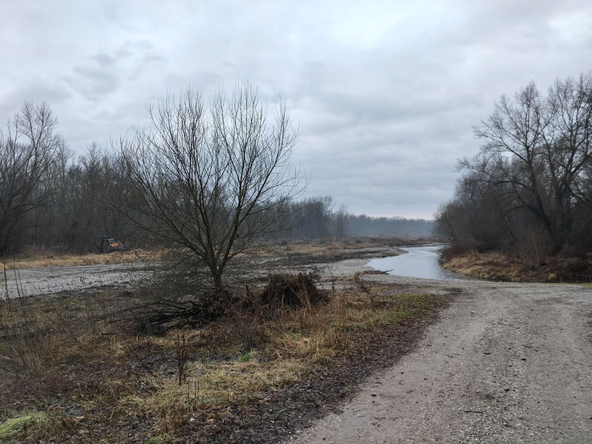
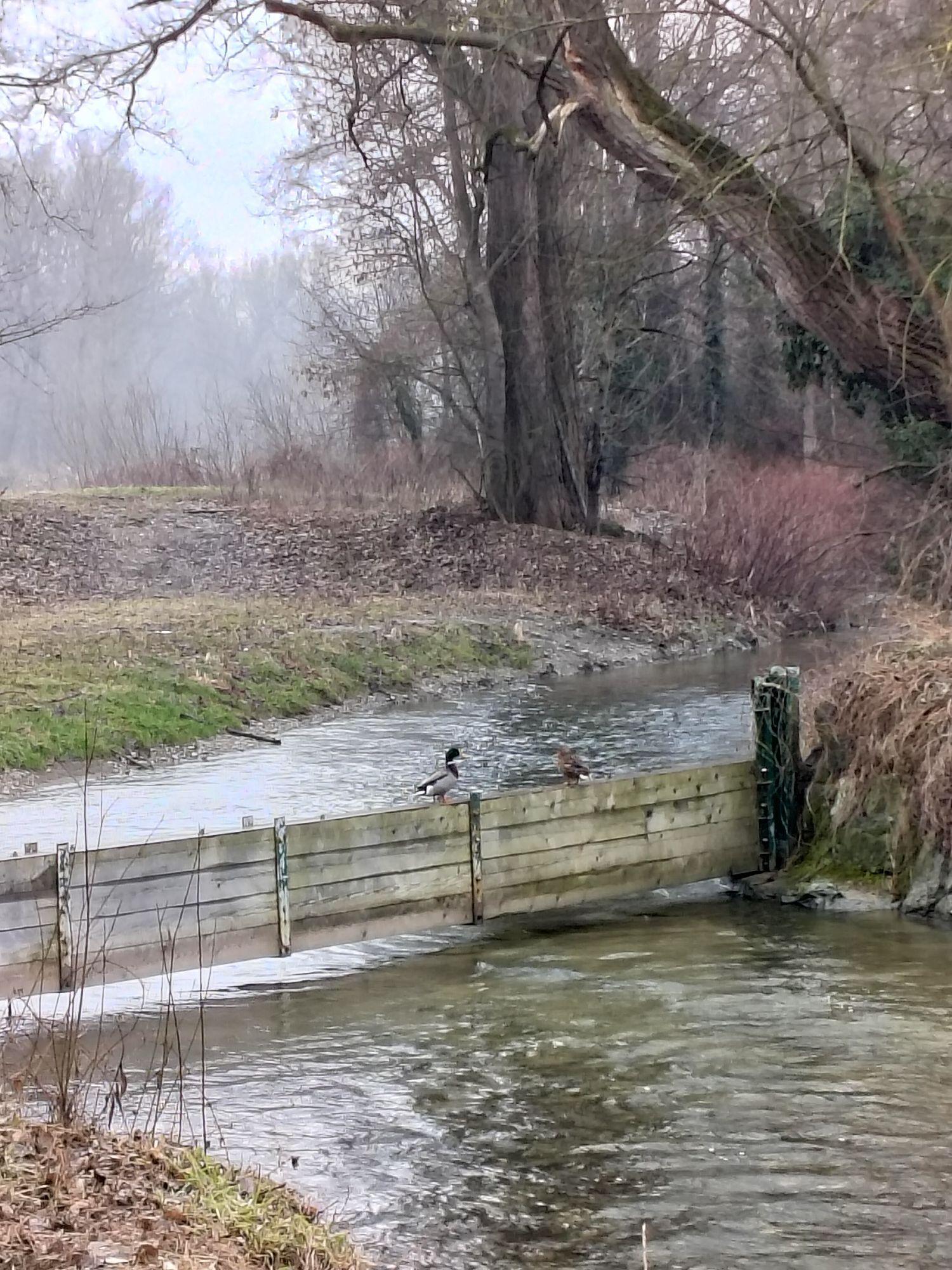
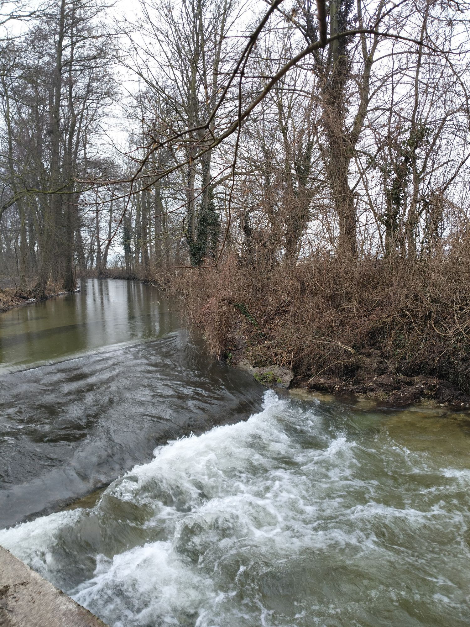
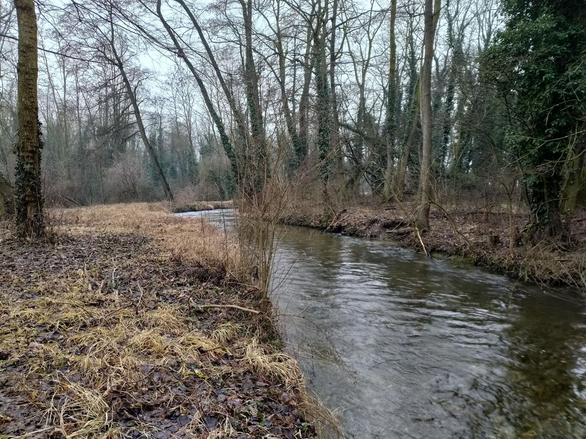
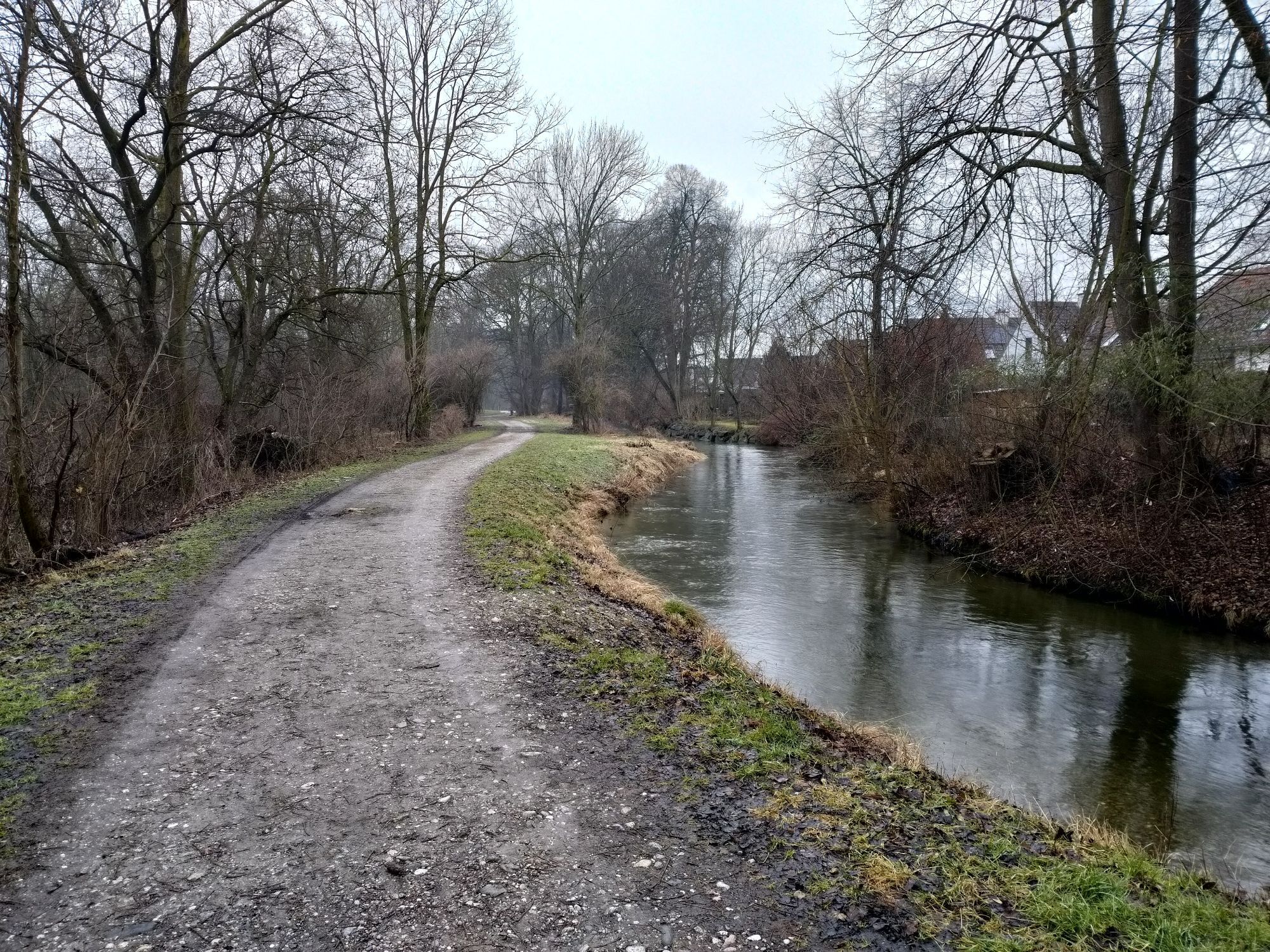
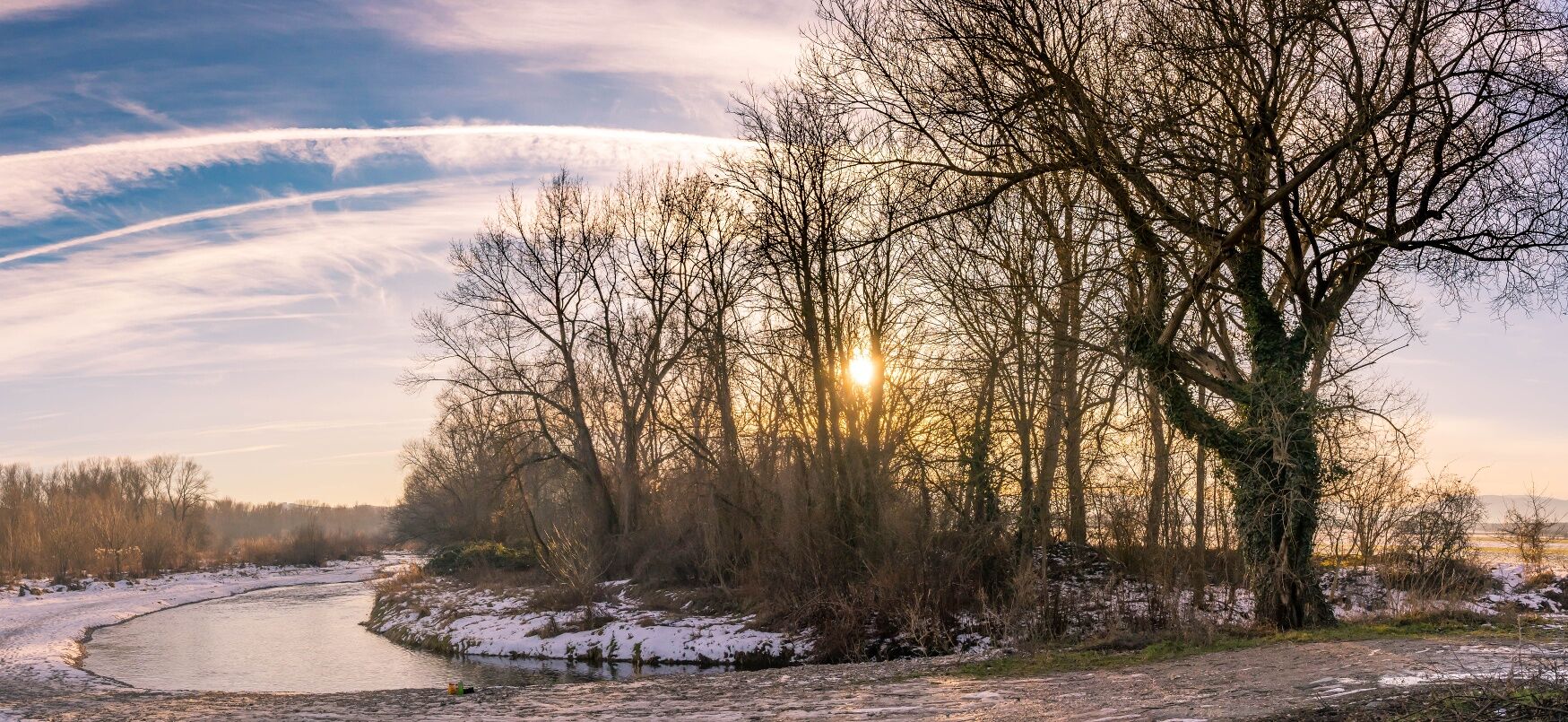
You return to Katzelsdorf along the Leitha, where untouched nature awaits.
Food and drink are also well catered for, as you pass numerous wine taverns and restaurants along the way.

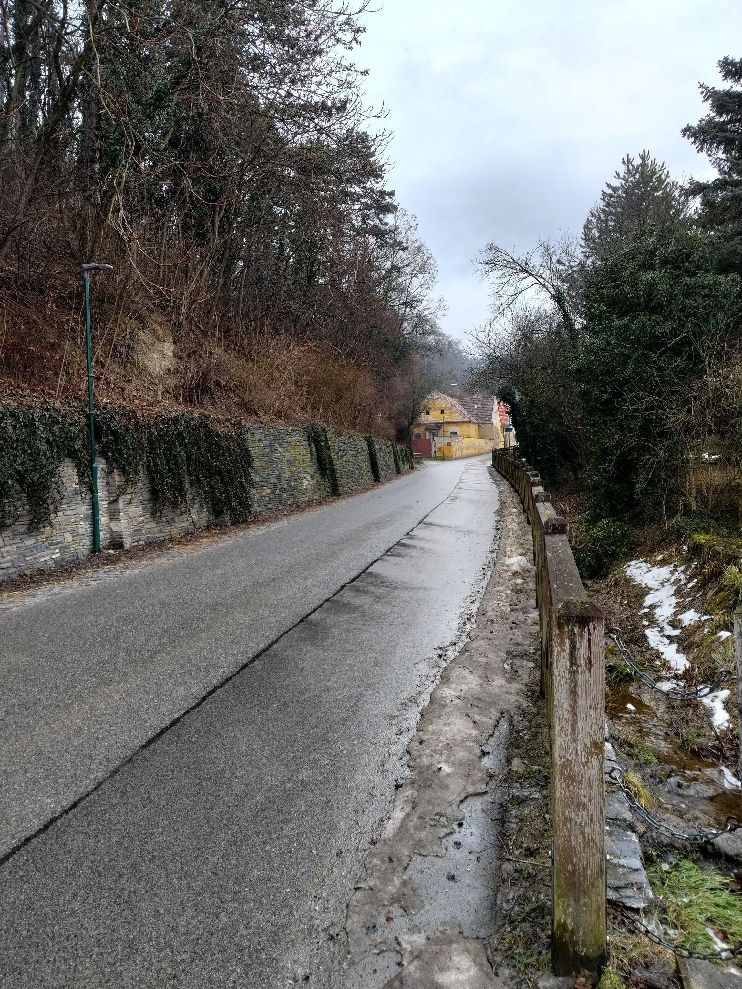
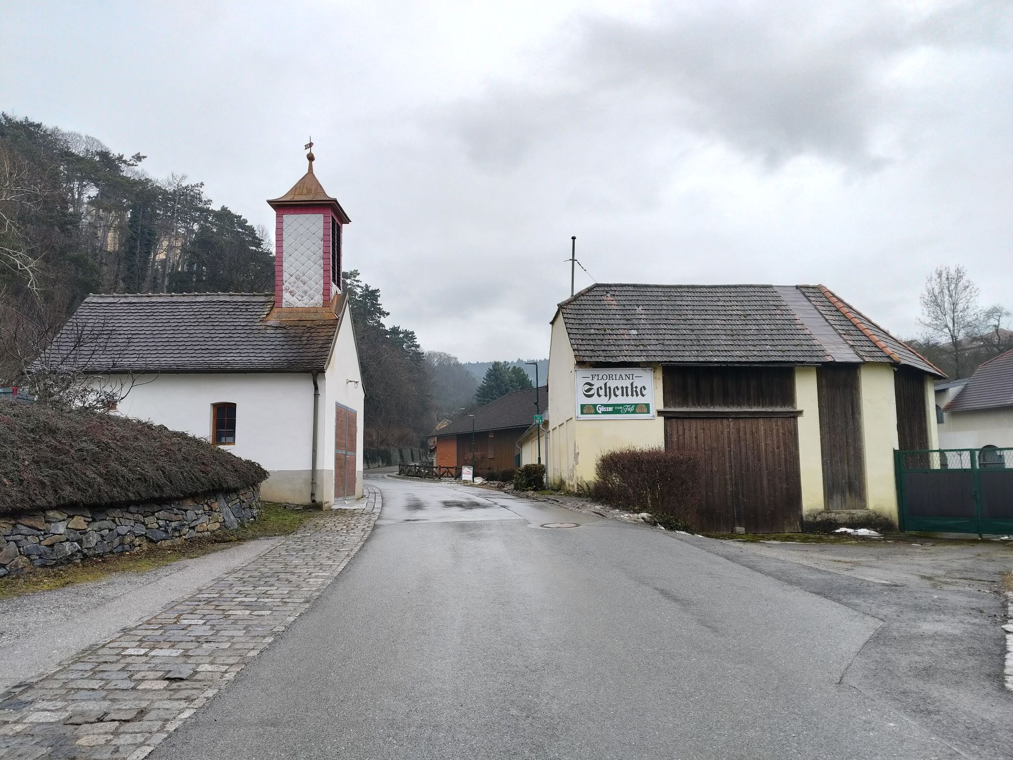
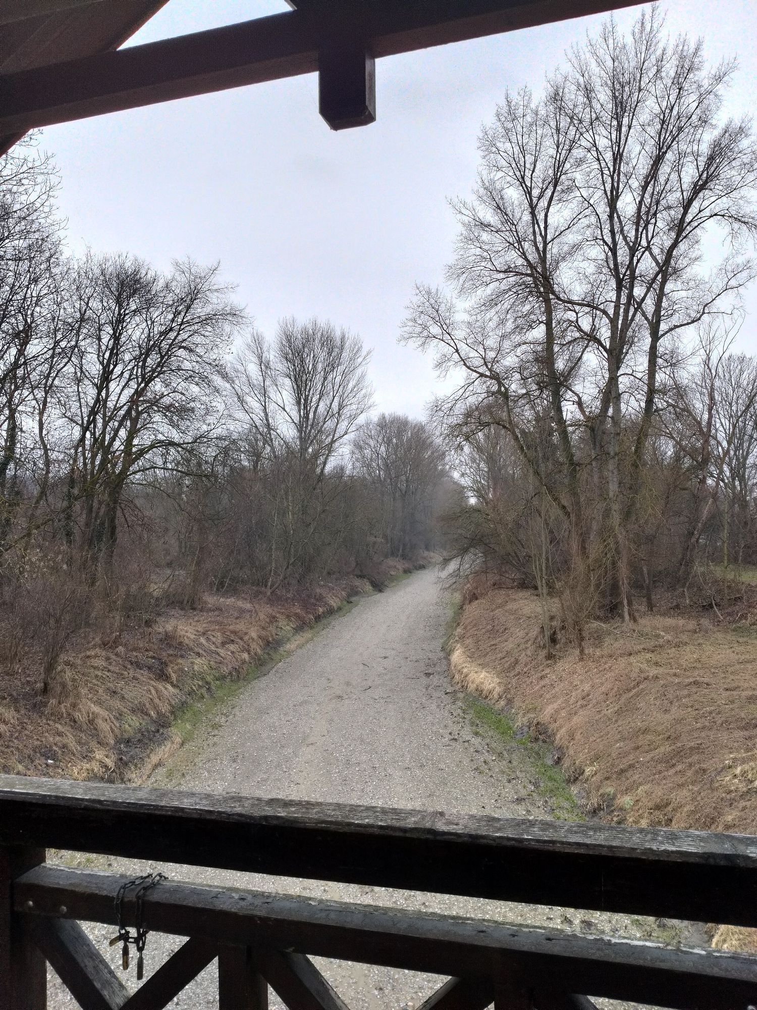
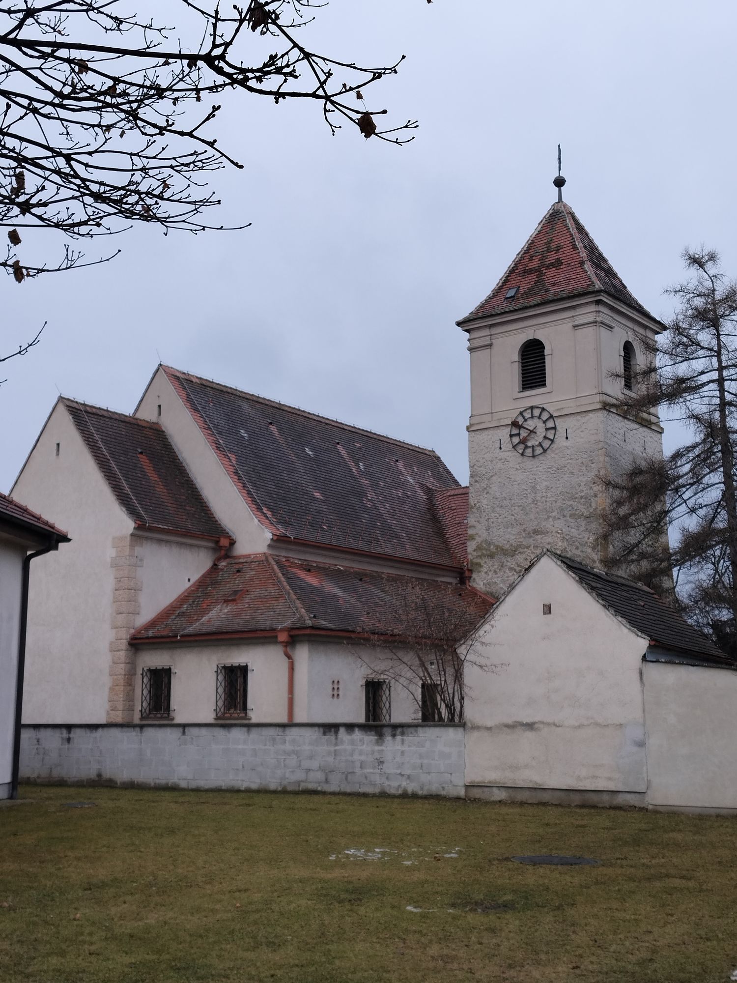
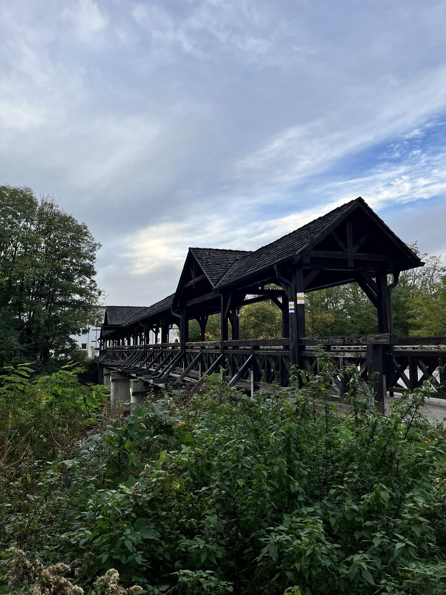
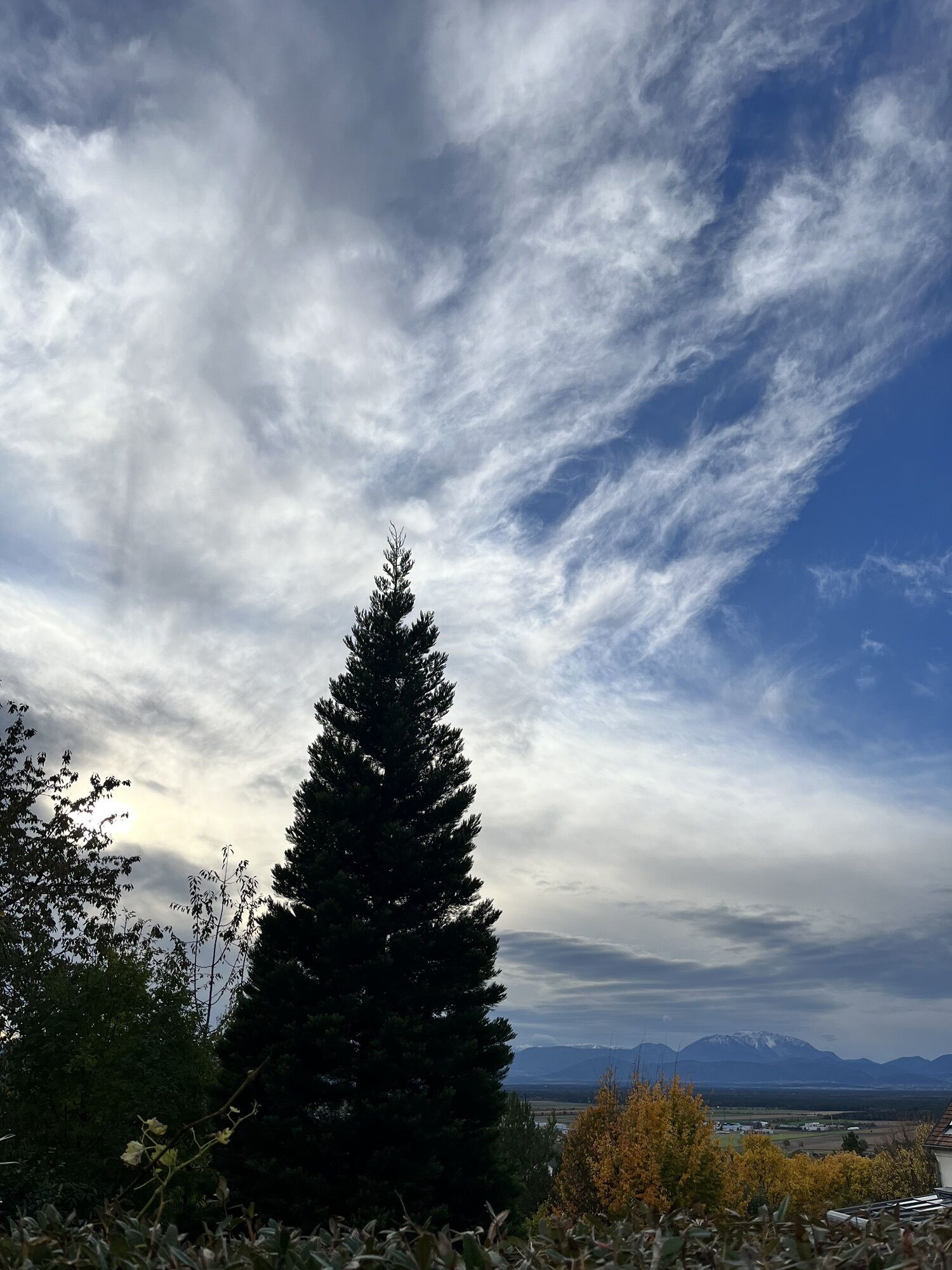
The first stage starts at Katzelsdorf Castle. Follow the path along the Wiener Alpenbogen eastwards, cross the Werkskanal bridge and the Leitha bridge on the wooden footbridge. Immediately after the Leitha, turn right onto a gravel path, pass the Leitha wayside shrine, and follow the signs to the Wiener Alpenbogen through the shady floodplain forest. At the beginning of a parking lot, leave the floodplain forest and turn left into Kapellauweg, continue to Dammstraße and turn right there. Pass house number 2 on the right and follow the gently ascending gravel path. Follow the signs slightly right uphill for a few meters until you reach a vineyard. With the first views of Hohe Wand, Schneeberg, and Rax, follow the path and turn onto a meadow path before the hedge. On the right, see the Redemptorist Monastery of Katzelsdorf; the fenced path leads into a gravel road, turn left here. Before a barrier at the forest edge, the path leads right onto a footpath, cross a small forest area, and arrive at the Eichbüchl viewpoint with a rest area, which is a few meters to the right. From the restaurant Görg, follow the marking of the Katzelsdorf summit trail (KA 1). Turn left onto Dr. Karl Renner Weg, which leads to a gravel path. Then turn right onto a path. Cross the upcoming intersection and follow the path uphill. At the T-junction, keep left. This is the highest point of the path; from here, it goes downhill. The path makes a sharp right curve, follow it. At the next T-junction, keep left again. Cross the following intersection and continue straight on the path until the fork. Choose the left path and follow it until it leads to a short gravel path. Back in Katzelsdorf, go straight ahead along forest path, Triftweg, and Leithaweg. Finally, the Leithaweg leads back to Mühlgasse, turn right towards the castle.
Always take suitable maps with you. Wear sturdy shoes adapted to the route, bring sun and rain protection as well as water and a small snack. Take your mobile phone and save the mountain rescue emergency number: 140
Do not forget headwear and gloves, in any case avoid hypothermia!
Your hikes in the Vienna Alps should become a wonderful and safe experience all around. Therefore, please note the following:
Preparation
Make sure when choosing the route that it corresponds to your mountain experience and fitness. Check the weather forecast in advance. The weather in the mountains can change surprisingly quickly. Therefore, always set out properly equipped (e.g., rain protection). Check whether the huts and snack stations you want to visit along the way are open. Inform someone about your chosen route and your planned return before you start.
Warning:
The route goes over natural paths and is not completely cleared in winter. Please pay attention to the correct equipment for snow and slippery spots!
Usage is at your own risk. Pay attention to early dusk and plan your route very carefully. Also, drink enough water in winter.
More safety tips for your hike can be found here.
Coming from Vienna or Graz on the A2, at Wiener Neustadt, turn onto the S4 towards Eisenstadt and take the Katzelsdorf exit. Then turn right and follow the signs to Katzelsdorf Castle in Katzelsdorf.
For more information visit www.oebb.at and www.vor.at
Parking spaces are available at the forecourt of Katzelsdorf Castle.
Vienna Alps in Lower Austria, www.wieneralpen.at, +43 / 2622 / 78960
Opening hours: Mon - Thu 08:30 - 16:00 / Fri 08:30 - 13:00
Spa municipalities, www.thermengemeinden.at / +43 676 842215550
At the excellent Katzelsdorf Heurigen and gastronomy establishments, you can order delicacies to take away and enjoy them at home in peace.
The Tin Figure World is also worth a visit!
Obľúbené výlety v okolí
-
4,5
Bucklige Welt: Auf dem Pittentaler Klettersteig zum Türkensturz
strednáVia ferrata 1,96 km -
4,8
Seebenstein - Türkensturz - Burg Seebenstein
svetloTuristika 7,50 km -
4,2
Bergkraxler Klettersteig
strednáVia ferrata 3,35 km -
4,3
Türkensturz Rundwanderung
strednáTuristika 2,56 km -
4,6
Naturlehrpfad Katzelsdorf
svetloTuristika 3,81 km -
4,5
To the Wiesen/Lanzenkirchen observation tower from the Rosalia
svetloTuristika 4,25 km -
4,7
Hubertuskapelle Piesting - Höhlturmrunde
svetloTuristika 6,39 km -
3,8
Größenberg und Eisensteinhöhle - Angelos Touren
svetloTuristika 9,83 km -
4,2
Türkensturz große runde
strednáTuristika 11,4 km -
4,6
Gespitzter Riegel - Bad Sauerbrunn
svetloTuristika 8,85 km
Turistika a stopovanie


Nenechajte si ujsť ponuky a inšpiráciu na ďalšiu dovolenku
Vaša e-mailová adresa bol pridaný do poštového zoznamu.





