


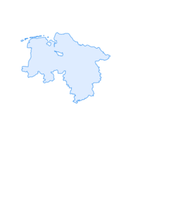

On the ridge trail to the Raabe Tower (Hz 3)

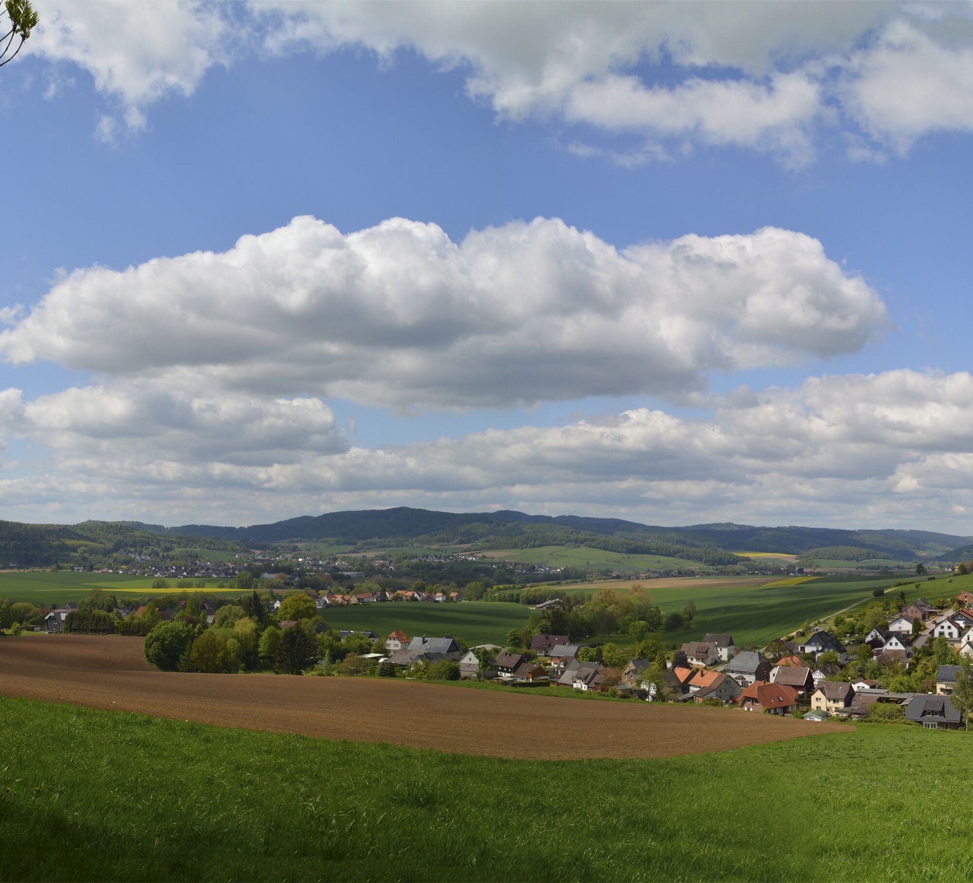
We start from the forest parking lot "Roter Fuchs" and set off on the quality route "Hils-Kammweg" towards Raabe Tower. The Ith-Hils path and the European long-distance path also run along here. We hike uphill through predominant spruce stands. About halfway to the tower, on the left, a clearing with a viewing bench offers a view of part of Eschershausen and, in the foreground, some houses of Holzen. The distinct peak in the background is the “Große Homburg,” where the remains of a medieval castle, the former “Homburg,” built around 1130 and inhabited until 1535, can be found.
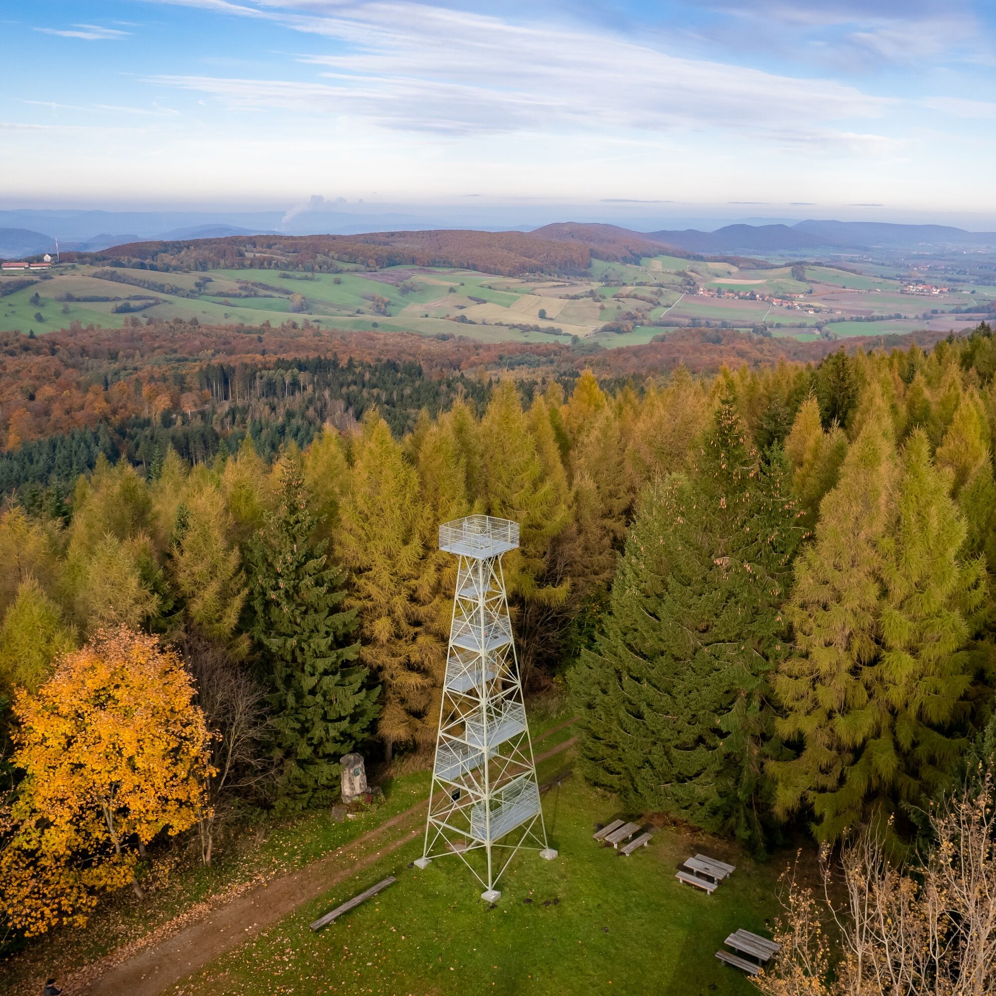
We continue uphill to the Wilhelm Raabe Tower on the Großer Sohl (471 m). From the starting point to here we have climbed exactly 130 meters and are now at the highest point of our circular hike. The observation tower was erected in 1909 in honor of the poet Wilhelm Raabe; at the foot of the tower, a monument and a small info plaque commemorate the storyteller born in Eschershausen in 1831. The monument with a bronze relief of the poet was inaugurated in 1910 – the poet died the same year but still witnessed the inauguration.
From 1904, teachers, pupils, and former pupils of the Kaiser Wilhelm Gymnasium Hanover hiked every year on the 4th Advent to the winter solstice celebration at Großer Sohl and honored the revered poet Wilhelm Raabe. Back then, an aging wooden tower still stood there, but it was destroyed in a winter storm in 1908. The “Sohlwanderung” remains a tradition to our days. In 2019, the 100th Sohlwanderung took place!
Those somewhat brave should definitely climb the 15 m high tower. It is well worth it! From the top platform, we enjoy a fantastic panoramic view of the valleys scattered with villages and the ridges of the Weser and Leinebergland. And in clear weather, even the Brocken, the highest mountain in the Harz, 70 km away, can be seen.
The Raabe Tower is completely built of steel, and the individual platforms and stair steps consist of grating. The stairs, secured only by handrails, require sure footing and complete freedom from dizziness. After climbing the tower, you can relax on the plateau next to the tower in a shelter and at individual resting places.
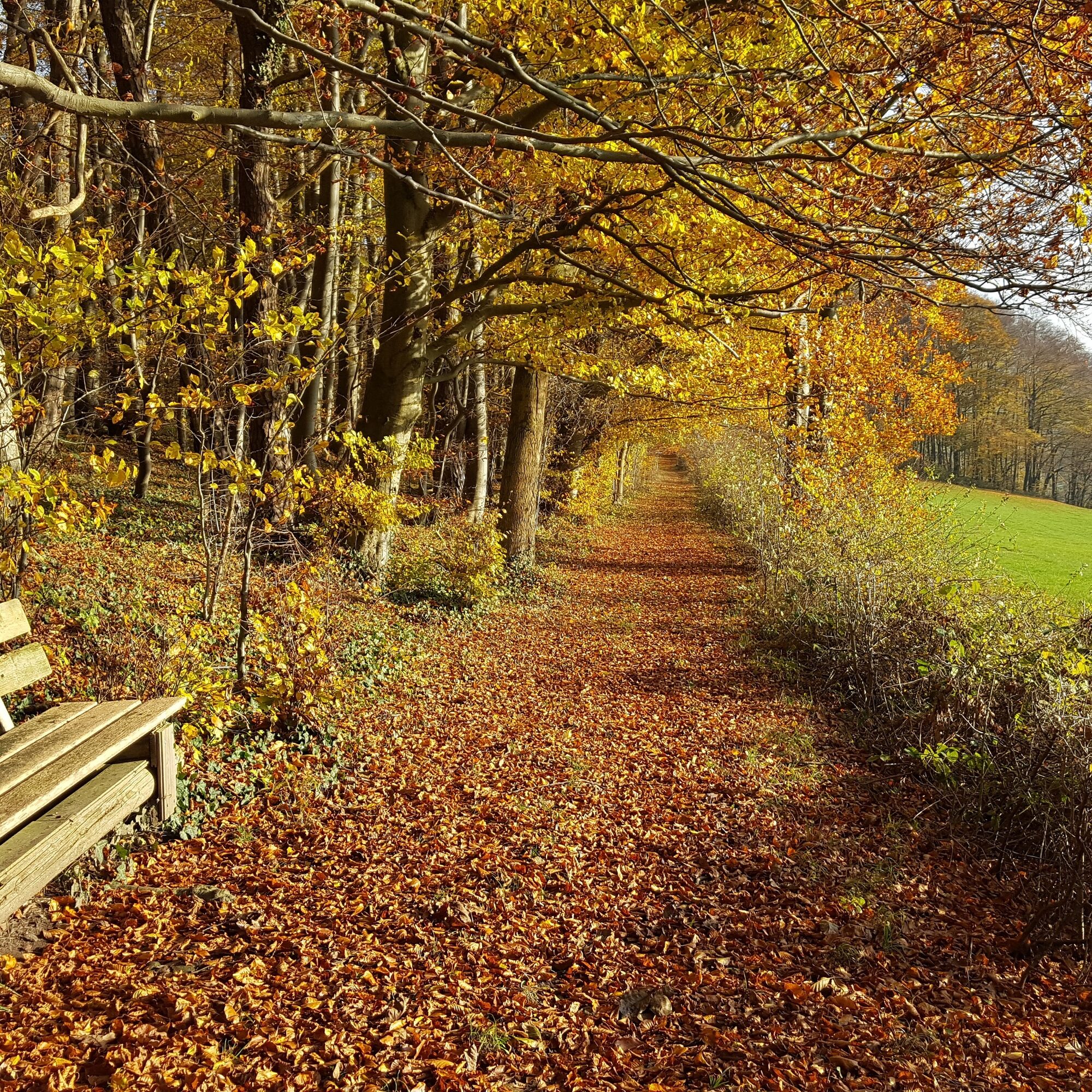
We continue our way on the Hils ridge. 300 m after the observation tower, we leave the ridge trail and go down about 1 km on a natural forest path to a forest road, where we turn left and continue almost flat. After about 1 km, we meet the well-maintained Bohlweg and turn left. We follow the path 2 km along the steep mountainside through extensive deciduous and spruce stands until we reach a small wooden bridge. Very close by is a covered well that supplies the “Roter Fuchs” inn with drinking water via a pump. A few meters further towards the L 484 we pass a memorial stone inscribed “Friedrich Ahlbrecht, died 23.4.1976” (cause of death was an accident at this spot). We cross the bridge and climb on the frequently used narrow forest path back to our start and finish point at the “Roter Fuchs” forest parking lot.
sturdy footwear, possibly self-catering from a backpack
From Holzminden via the B 64 to Eschershausen. From Hameln via the L 424 to Bodenwerder-Halle. Then continue on the B 240 to Eschershausen. In Eschershausen via Holzener Straße and Hilsstraße or via Mühlenbergstraße and Hilsstraße to Holzen. From Holzen continue on Hilsstraße towards Grünenplan to the Roter Fuchs parking lot.
Roter Fuchs parking lot
Solling-Vogler-Region in the Weserbergland e. V.
Tourism center
Lindenstraße 8
37603 Holzminden/ Neuhaus
Tel.: 05536 960970
info@solling-vogler-region.de
www.solling-vogler-region.de
Obľúbené výlety v okolí
-
5,0
Ithwiesen und Kleiner Stern (Hz 2)
svetloTuristika 9,60 km -
3,0
Weserhöhen (Bw 5)
strednáTuristika 6,14 km -
Rote Hödeken - Sieben Berge Schleife
ťažkéTuristika 17,2 km -
Hilskammweg (Gr 1)
strednáTuristika 14,5 km -
Zweitürmetour (Bw 2)
strednáTuristika 12,1 km -
Zum Ebersnacken (Ki 1)
ťažkéTuristika 12,7 km -
Lebensraumroute - Der Burgberg große Runde (LRR 2)
Tematická trasa 5,42 km -
Sandstein-Erlebniswanderweg Arholzen
Tematická trasa 2,90 km -
Tour "In the footsteps of Wilhelm Busch"
svetloTematická trasa 4,03 km -
Panoramaweg Duingen (DU1)
strednáTuristika 10,8 km

Turistika a stopovanie


Nenechajte si ujsť ponuky a inšpiráciu na ďalšiu dovolenku
Vaša e-mailová adresa bol pridaný do poštového zoznamu.