


WasserWegeWinkel
WasserWegeWinkel connects seven Westphalian municipalities and their most beautiful locations into a remarkable experience. As independent and individual as these communities are, they can be summarized...
WasserWegeWinkel connects seven Westphalian municipalities and their most beautiful locations into a remarkable experience. As independent and individual as these communities are, they can be summarized in three characteristic core features: CulturalPlaces, NaturalSpaces, and WaterWorlds. Sometimes contrasting, sometimes in harmonious unity, a total of 57 special locations and sections create the great appeal of the route. The balanced interplay of historic old towns, floodplain landscapes, wild ruins, nature reserves, imposing churches, information centers, and many other stations could hardly be more diverse – offering the right highlights for every traveler. The route covers 130 kilometers through seven municipalities with 57 multifaceted stops – from charming spots to local insider tips and busy tourism magnets: The LEADER region Lippe-Möhnesee awaits to be experienced and enjoyed. Each municipality shows its individual highlights and harmoniously integrates into the overall regional constellation beyond its own municipal boundaries. Thanks to short distances between the destinations, the explorer’s spirit never faces dry spells along the entire route. From the station in Möhnesee, you reach the Ruhr Valley Cycle Route via the Möhnetal Cycle Route. In this way, the route also creates a direct connection between the significant cycle routes Ems Cycle Route and Ruhr Valley Cycle Route.
> here is the website of the cycle route
> here is the link to download the map

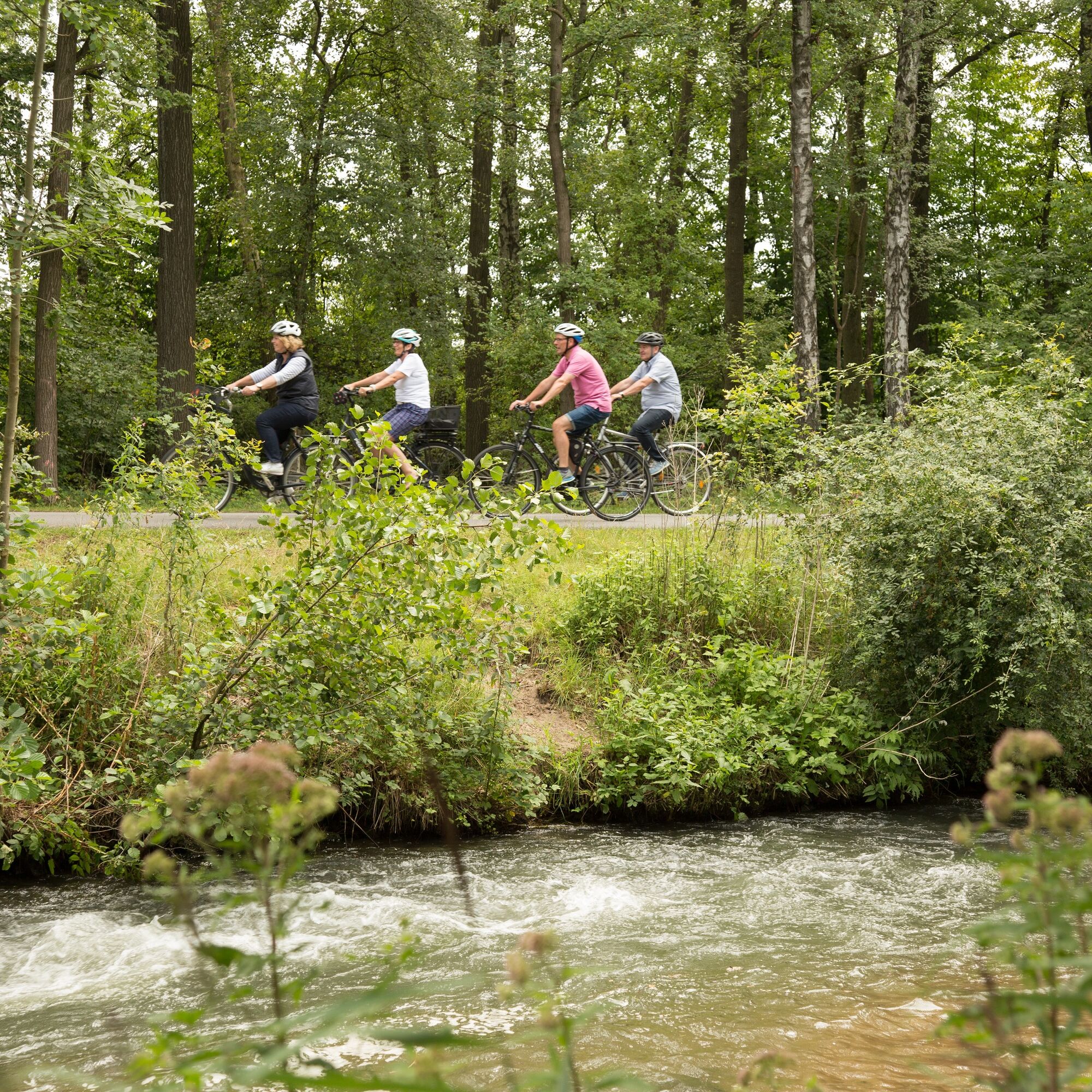
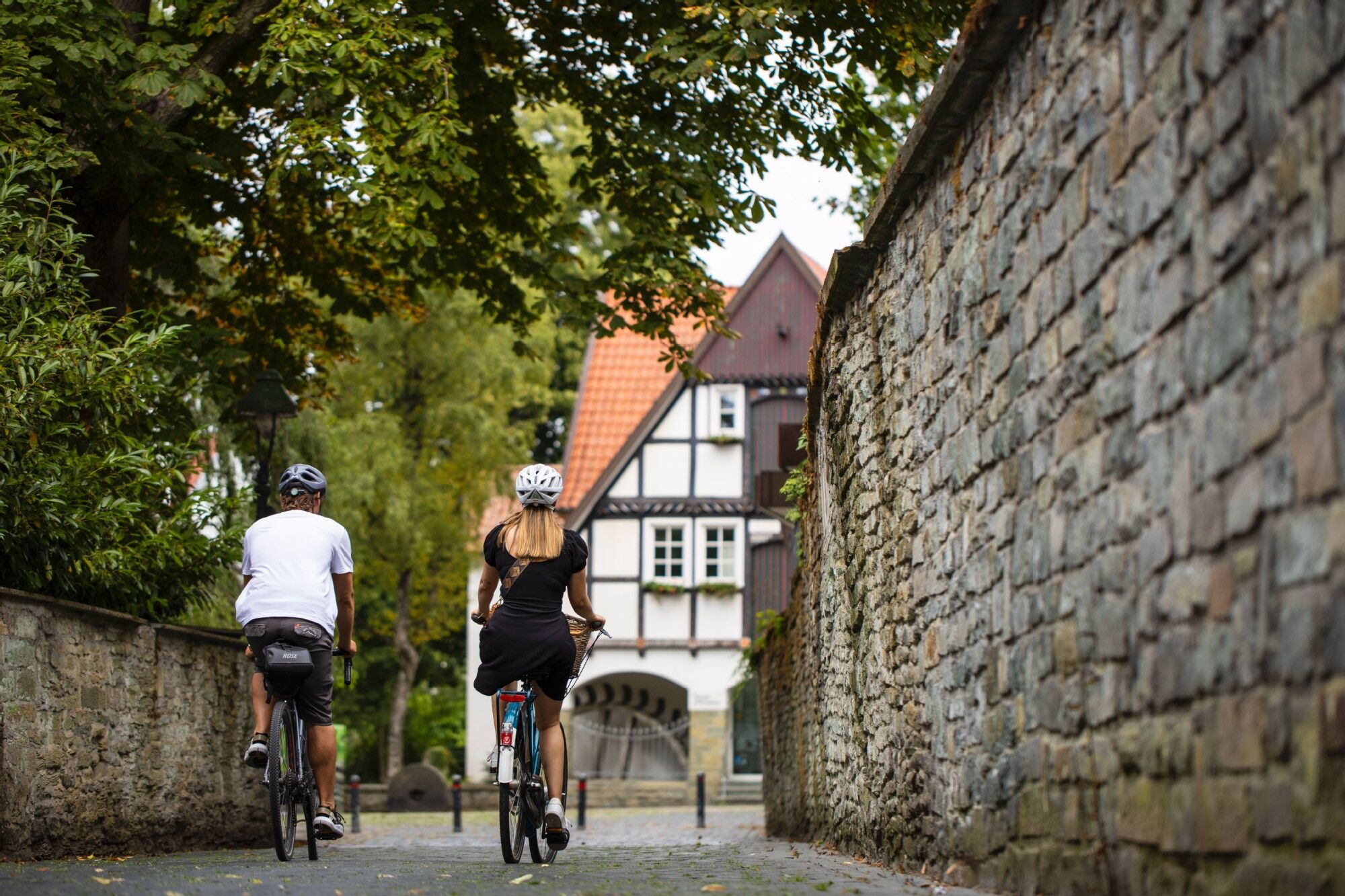
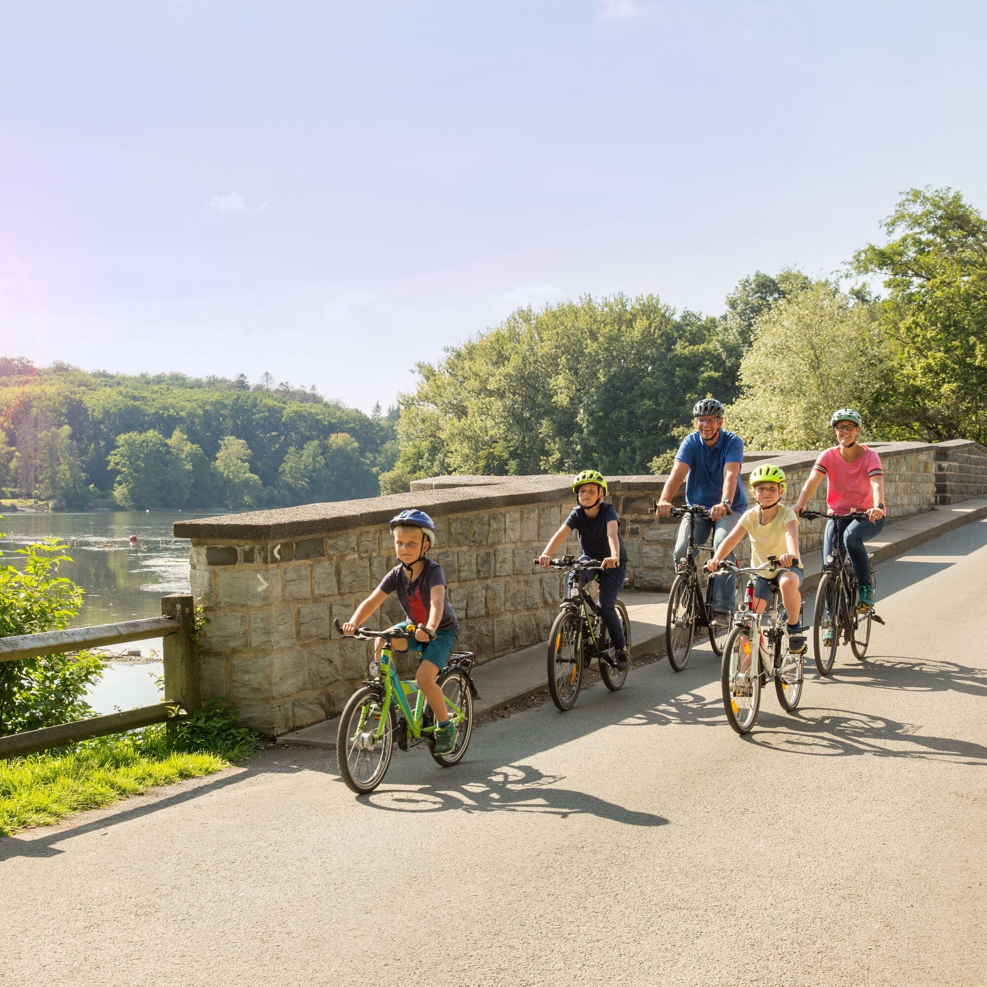
You enter the route in each of the seven towns through a gateway. You will find numerous rest islands for relaxation and deceleration. Or you can use the adjacent cycle routes for detours into the surrounding area.
Áno
Áno
The WasserWegeWinkel app provides insights at all stations that would otherwise remain hidden: exciting 360° images, breathtaking videos, and extraordinary animations. Save your favorite spots directly in the app to find them again on your next visit or share them with others. And if the internet connection drops on the route? No problem, you still have access to all functions even when offline.
Webové kamery z prehliadky
Obľúbené výlety v okolí
-
LandesGartenSchau-Route
strednáCyklistika 191,0 km -
4,0
Pilgerweg "Anders gehen", Bad Westernkotten, Regierungsbezirk Arnsberg/Deutschland
Turistika 9,74 km -
Wadersloh, Deutschland
svetloTuristika 9,57 km -
Hellweg Radio Bäder-Route
svetloCyklistika 56,4 km -
Erwitte: Muckenbruch March
strednáTuristika 4,93 km -
Nature-Saline-Moor Discovery Trail
strednáTuristika 14,2 km -
Lippeauenweg L1
svetloTuristika 10,7 km -
Bad Sassendorf - Südschleife
svetloCyklistika 20,3 km -
Radtour "Heilige Spuren"
svetloCyklistika 63,4 km -
Lippstadt: Green Corner walking path
strednáTuristika 3,12 km

Turistika a stopovanie


Nenechajte si ujsť ponuky a inšpiráciu na ďalšiu dovolenku
Vaša e-mailová adresa bol pridaný do poštového zoznamu.