






SauerlandRadring: Hennesee loop
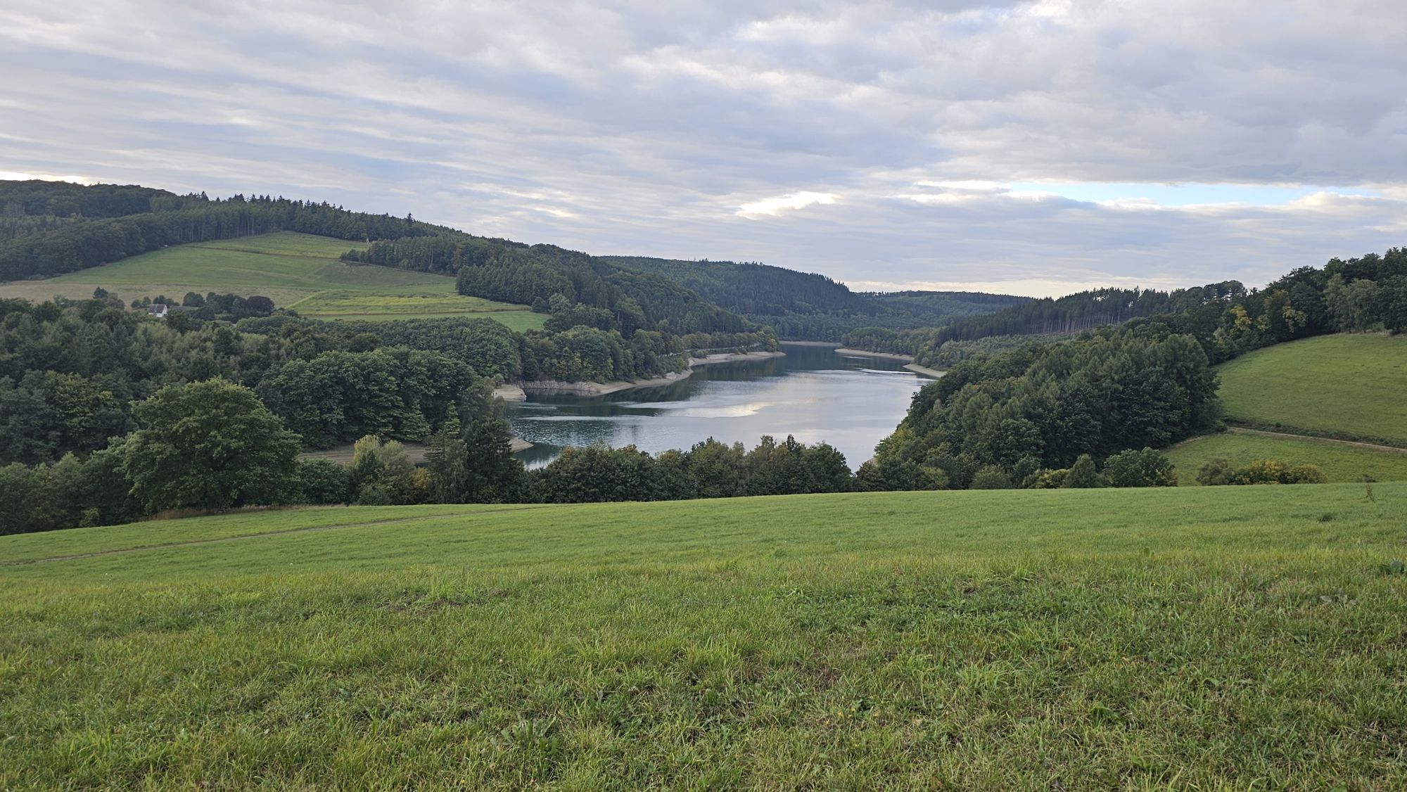
The 40 km long Hennesee loop connects the SauerlandRadring on former railway tracks over the picturesque Wenne valley down to the Ruhr valley and follows the course of the Ruhr to the district town of...
The 40 km long Hennesee loop connects the SauerlandRadring on former railway tracks over the picturesque Wenne valley down to the Ruhr valley and follows the course of the Ruhr to the district town of Meschede.
The Hennesee loop of the SauerlandRadring connects to the stations in Meschede and Freienohl to the north and links the SauerlandRadring with the very popular Ruhr Valley Cycle Path.
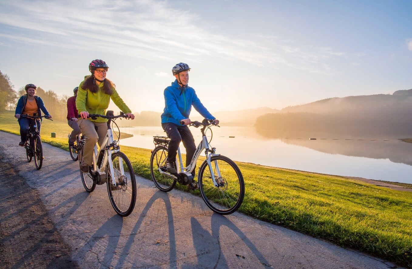
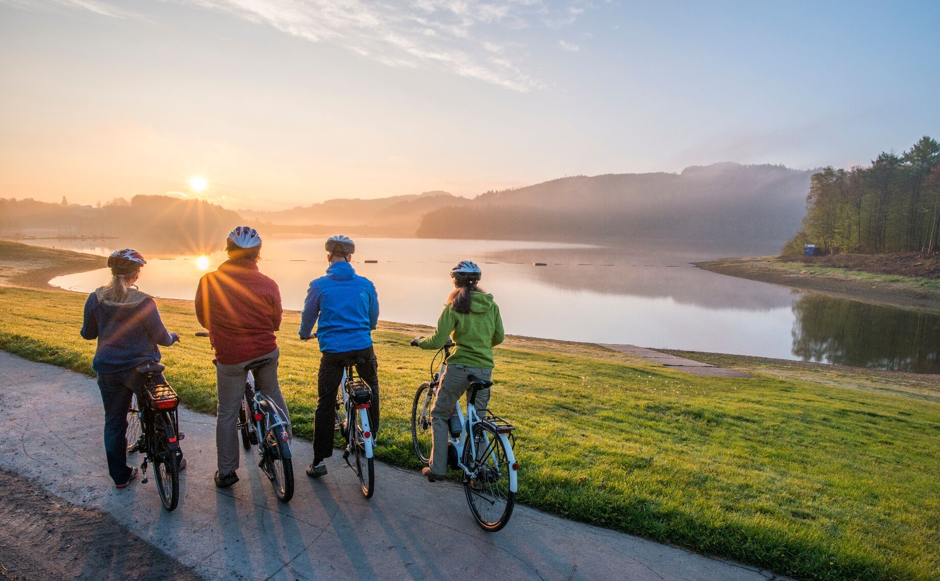
Starting the Hennesee loop in Meschede, you cycle first along the Ruhr to Wennemen and continue via Berge, Eslohe and Erflinghausen to the Hennesee. Via the traffic-free edge path, you reach the dam of the lake. The Henne dam can be climbed on foot via the Himmelstreppe, which is illuminated in the evening. At the Hennesee there is the opportunity for cyclists to refresh themselves at or in the lake, but also a boat trip invites you to relax. It can also be used to shorten the route along the shore of the Hennesee.
Currently, the Hennesee loop is still signposted with the logo of the SauerlandRadring - North loop.


Stages: Meschede - Berge - Eslohe - Erflinghausen - Meschede
Orientation:
Since 2015, the entire Sauerland region has been signposted with the junction point system: www.radeln-nach-zahlen.de/de/Das-Konzept
For the SauerlandRadring, it is best to orient yourself by the logo or the junction sequence.
Junction sequence: 22 - 28 - 29 - 44 - 45 - 26 - 27 - 23 - 22
Áno
A list of helpful tips regarding equipment can be found at:
www.adfc.de/themen/auf-tour
In the entire region (Soest district, Hochsauerland district, Märkischer district, Olpe district and Siegen-Wittgenstein district) a rescue point system is installed. Rescue points can be found, among other places, on the information boards of the junctions and hiking signage.
From the west: A44 to Werl junction. Then continue on the A445 and A46 towards Arnsberg/Meschede. Exit Meschede.
From the north: A2 to Rheda-Wiedenbrück exit. Then continue on the B55 towards Lippstadt/Meschede.
From the south: A45 to Olpe exit. Then continue on the B55 towards Meschede.
There are direct connections to the station in Meschede from Dortmund, Hagen and Kassel,
A list of parking spaces along the SauerlandRadring can be found at https://www.sauerlandradring.de/de/Tourenplanung/Anreise/Parkplaetze-am-SauerlandRadring
In the evening, the Himmelstreppe in Meschede is illuminated and offers an impressive sight and view.
Získajte prehľad
Vždy naživo na mieste s viac ako 9 500 webovými kamerami. bergfex Ako používateľ Pro si teraz môžete pozrieť príslušné webové kamery pre mnohé zájazdy v aplikácii zájazdy z. Môžete si tak priamo prezerať aktuálne podmienky.
Obľúbené výlety v okolí
-
5,0
Bierbrau Wonder Path Grevenstein - The BIERlebnis Path
strednáTuristika 7,36 km -
3,5
Vogelsang route
strednáTuristika 7,01 km -
5,0
Monastery Way - a spiritual hiking route from Königsmünster Abbey to Bestwig Mountain Monastery - northern route KW
strednáTuristika 15,6 km -
4,0
Rundweg um den Hennesee A8
strednáTuristika 15,4 km -
Andreasberg - AB4 - Hike to the "Plästerlegge" waterfall
strednáTuristika 9,36 km -
5,0
Fotoroute Oberhenneborn - Landschaft im Fokus
strednáTematická trasa 8,97 km -
4,0
BestWeg Andreasberg
strednáTuristika 8,33 km -
5,0
Grenzwanderung in Altenhellefeld
svetloTuristika 5,52 km -
5,0
Velmeder Rundweg (V5)
strednáTuristika 10,1 km -
5,0
Sellinghauser Bergmannspfad
strednáTuristika 6,69 km
Turistika a stopovanie


Nenechajte si ujsť ponuky a inšpiráciu na ďalšiu dovolenku
Vaša e-mailová adresa bol pridaný do poštového zoznamu.





