



Ruhr Valley Cycle Route






One of the most varied and versatile rivers in Germany invites you to discover an entire region with its riverside paths. No other river in Germany combines culture and nature in such a small area. Over...
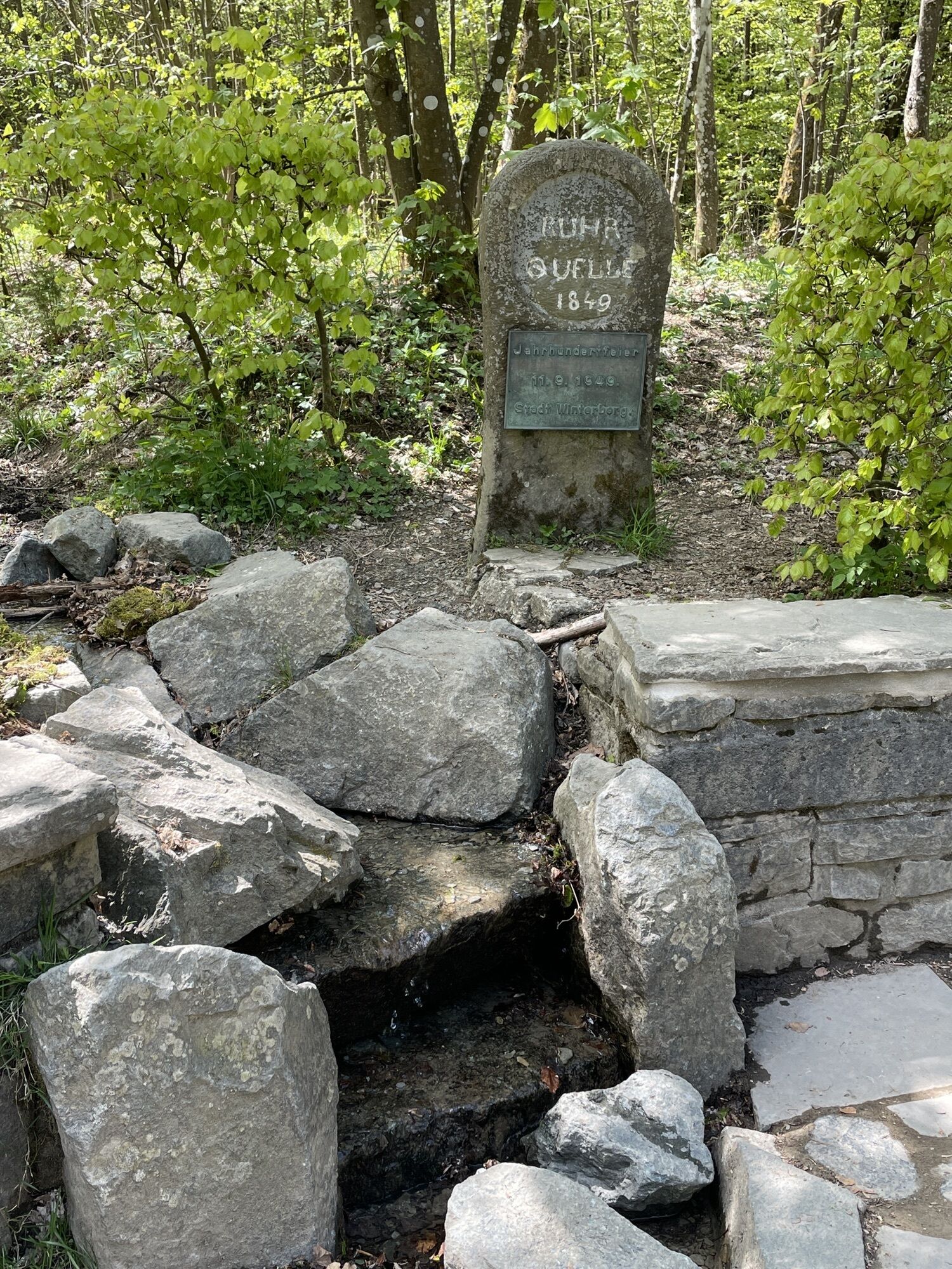
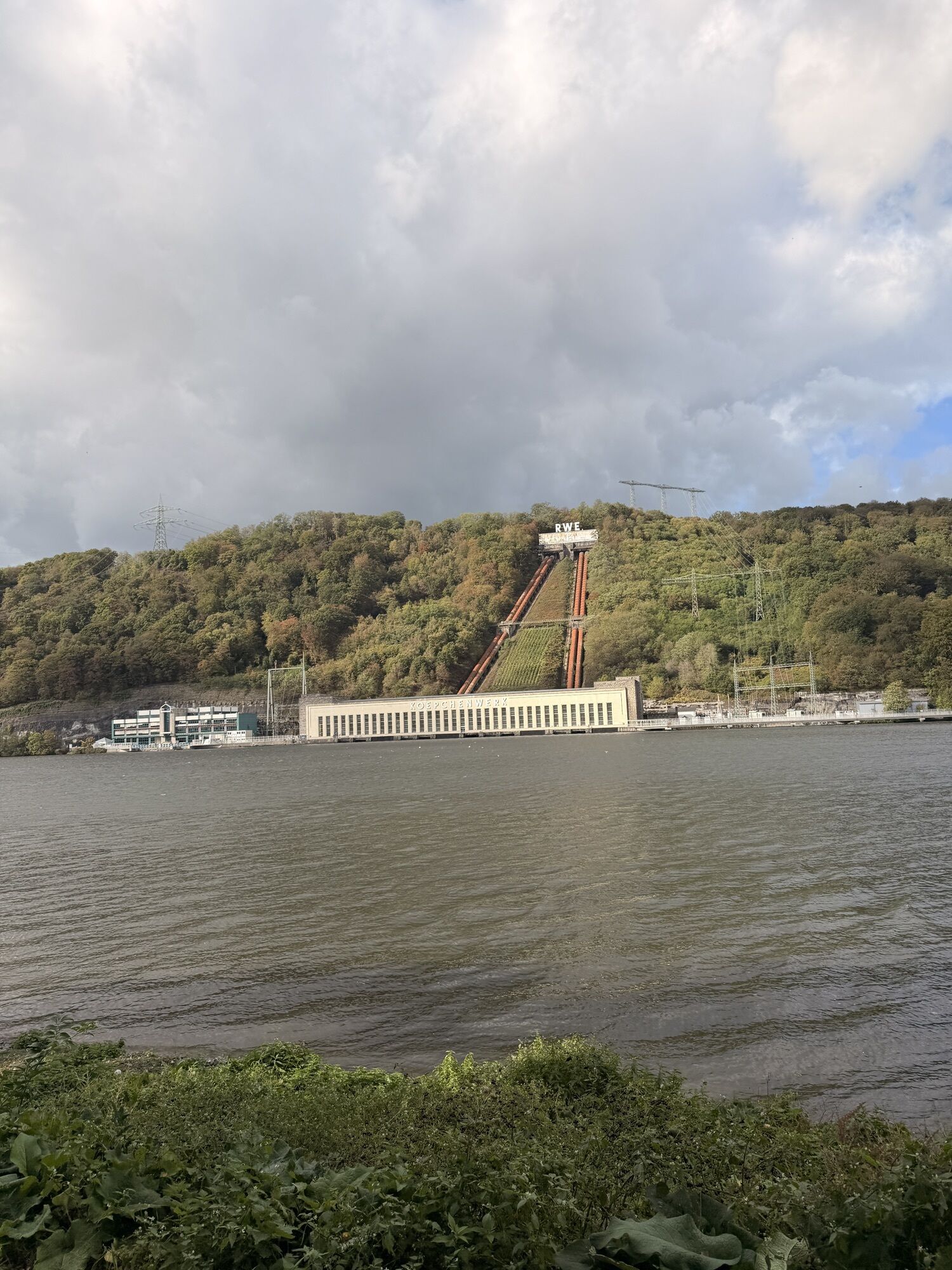
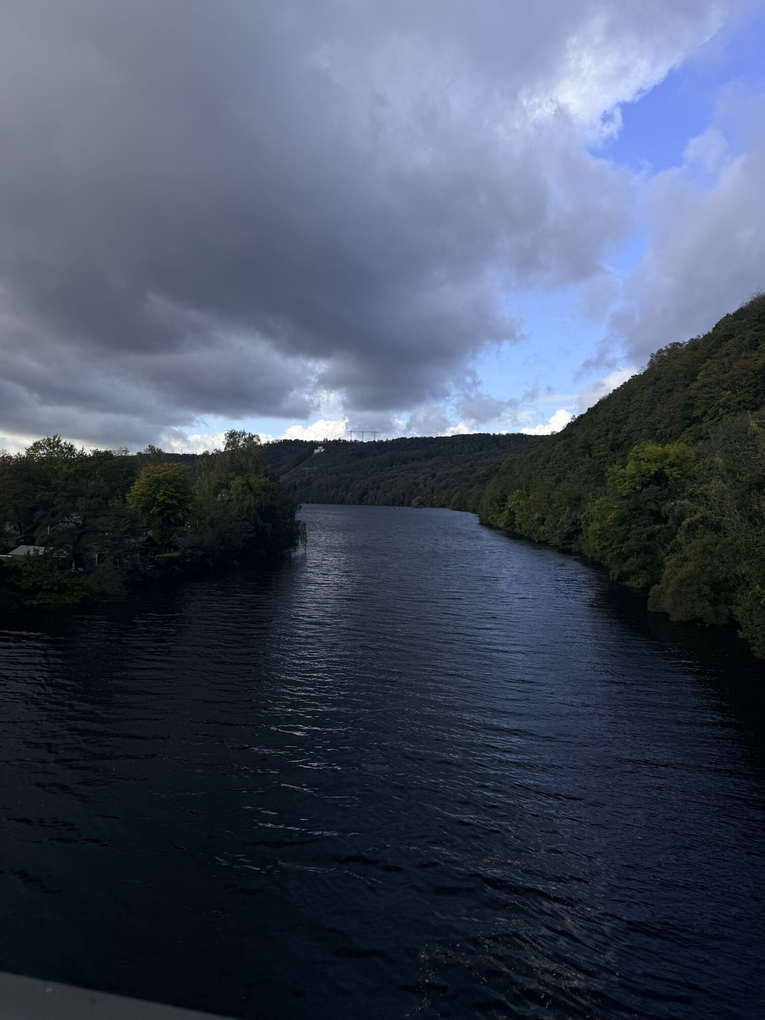
One of the most varied and versatile rivers in Germany invites you to discover an entire region with its riverside paths. No other river in Germany combines culture and nature in such a small area. Over the 230 kilometres from its source near Winterberg to its mouth on the Rhine near Duisburg, the Ruhr connects the unspoilt landscape of the Sauerland with the exciting and eventful Ruhr metropolis.

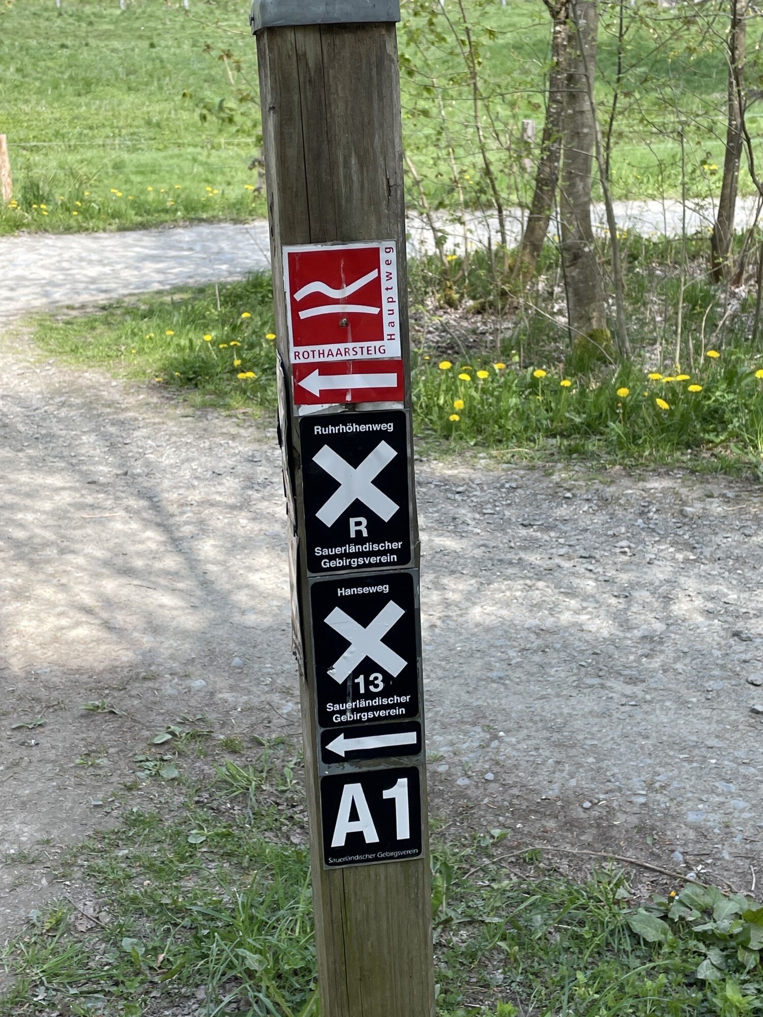
Signposting: Uniform signposting with place and kilometre information and your own logo accompanies you from the source to the mouth.
The RuhrtalRadweg stage towns from the source to the mouth:
Winterberg - Olsberg - Meschede - Bestwig - Arnsberg - Wickede - Ense - Fröndenberg - Iserlohn - Menden - Schwerte - Holzwickede - Hagen - Dortmund - Herdecke - Wetter - Witten - Bochum - Hattingen - Essen - Mülheim an der Ruhr - Oberhausen - Duisburg
Path characteristics:
approx. 50 % separately guided cycle paths, away from roads
approx. 30 % forest service roads and inner-city side roads
approx. 15 % on main roads with cycling facilities
Path characteristics:
- Predominantly river-accompanying cycle path, largely car-free on separately managed cycle paths and service roads.
- Sections at risk of flooding are signposted with a flood bypass.
- The landscape changes from the densely wooded low mountain range landscape to the riverine cultural landscape in the Sauerland to the industrial cultural landscape of the Ruhr metropolis.
- Town crossings provide attractive sightseeing and supply opportunities.
... the compact spiralo from BVA Bielefelder Verlag. It offers you optimal orientation on the Ruhr Valley Cycle Route. In a practical format (23x12 cm), it provides detailed tourist information, info addresses and tips in addition to the clearly laid out maps at a scale of 1:50,000. Including a current tour guide with all information on accommodation and services, you can get the compact Spiralo for only 9.95 euros.... Bruckmann's cycle guide by Mathias Eickhoff. It describes the Ruhr Valley Cycle Route divided into 16 daily stages on 192 pages with lots of helpful information and insider tips. Including a map part on a scale of 1:75,000, the cycling guide is available for only 14.95 euros.... the cycle travel guide "RuhrtalRadweg" by Mathias Eickhoff, because it combines the advantages of a richly illustrated book with the practical tips of a tour and travel guide. The book is the "all-round carefree package" for every cycling holiday on the Ruhr. Coupled with many atmospheric pictures of the Ruhr Valley Cycle Route, the cycle guide is available for 19.95 euros.
Here you can find information on current diversions and danger spots:
Accessibility: The Ruhr Valley Cycle Route is barrier-friendly and for the most part also barrier-free. We recommend that inexperienced cyclists start in Olsberg. Please also note our route information
Winterberg, Ruhrquelle or railway station:
From the north: A7 Hamburg-Hannover - A2 Bielefeld - A33 Paderborn - exit Wünnenberg, direction Brilon > Olsberg > Winterberg
From the south: A5 Frankfurt-Giessen - exit Marburg, direction Allendorf > Winterberg
From the west: A44 Dortmund-Kassel - exit Kreuz Werl, direction A46 Arnsberg > Meschede > Bestwig > Olsberg > Winterberg
From the east: A44 Kassel-Dortmund - exit Zierenberg, direction B251 Korbach > Medebach > Winterberg
You can reach Winterberg(Westf) quickly and comfortably. There is an hourly connection from Hagen and every 2 hours from Kassel. You can travel between Dortmund and Winterberg in 104 minutes. This connection is available six times per working day or twelve times at the weekend.
Free parking is available both at Winterberg station and at the Ruhrquelle.
The RuhrtalRadweg passport is available at every tourist information office along the route, the addresses can be found in the 2016 tour guide and on the respective stamp field of the town. You also have the option of having the field stamped there.
Webové kamery z prehliadky

Obľúbené výlety v okolí
-
4,2
Klusenberg Syberg
strednáTuristika 8,13 km -
Steltenberg Letmathe
svetloTuristika 3,48 km -
Feldertour Menden
svetloCyklistika 18,5 km -
Zum Phoenixsee Dortmund
strednáMountainbike 46,2 km -
Rund um den Seilersee
svetloTuristika 4,81 km -
Angenehme Lauftour 9km Bolmke und Rombergpark
svetloBeh 9 km -
Haus Opherdicke
svetloTuristika 21,0 km -
Phönixsee
svetloPrechádzka 4,35 km -
Wanderung um Nachrodt
strednáTuristika 11,0 km -
RuhrtalRadweg
strednáCyklistika 230,1 km
Turistika a stopovanie


Nenechajte si ujsť ponuky a inšpiráciu na ďalšiu dovolenku
Vaša e-mailová adresa bol pridaný do poštového zoznamu.


