


Brilon-Alme (Al1)
You hike through old deciduous forest stands, across wide fields, over heights with magnificent views, and along narrow, idyllic paths. On information boards, you learn interesting facts about history,...
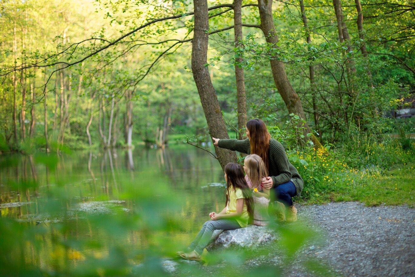
You hike through old deciduous forest stands, across wide fields, over heights with magnificent views, and along narrow, idyllic paths. On information boards, you learn interesting facts about history, flora, fauna, and geology in and around Alme.
Note: This circular route can also be shortened arbitrarily via the hiking trails Al 2, Al 3, and Al 4. The paths lead repeatedly back to the starting point of the hike, the Almer Entenstall.
Historical: Alme Castle, Gut Almerfeld, and Haus Tinne
Geological: the unique karst spring area of the Alme with 104 individual springs, the Mühlental with bizarre rock formations as well as dolines, typical karst features
Botanical: many rare plants, such as liverleaf, blue monkshood, and especially the ice age plant, the Pyrenean spoonleaf.


Entenstall – Auf der Renne – Mussfeldweg – Kotten – Lünsebach – Diebesweg – Loh – Große Bühlen – Madfelder Straße – Almerfeld – Riesen – Mesternholz – Meibels Knapp – Kalkofen/Hagen – Moosspring (cross the road to Nehden) – Buchenberg – Alme springs – Mühlental (direction Nehden) – Tinnenfeld – Egge – Wenster – (cross B 480) - Sommerseite/Wesselskopf - Hörschede – Hüssen – Almeltal (left, approx. 400 m over Bürener Straße) – Eiserweg – Winterseite – Beerenscheid – Schlangenweg/Leimenkopf – "Sleeping Beauty Path" - along the castle wall – Castle mill – Alme mill channel – Entenstall
Sturdy footwear
Rescue points at the hiking trail posts
..
Bus stop: Untere Bahnhofstraße
Almer Entenstall
...
Obľúbené výlety v okolí
-
4,8
Rundwanderung Diemelsee
svetloTuristika 8,54 km -
Trekking site close to heaven circular route 1
ťažkéTuristika 19,6 km -
Rothaarsteig Etappe 1
strednáTuristika 20,6 km -
Diemelsee Runde
strednáTuristika 12,0 km -
Briloner Kammweg
ťažkédiaľková pešia trasa 47,9 km -
Fünf-Bäche-Weg
strednáTuristika 25,6 km -
Beringhauser Aussichten
strednáTuristika 8,34 km -
The "Rabennest Route" in and around Kallenhardt
strednáTuristika 19,1 km -
By bike from Brilon to Altenbürener Mühle and to Hiebammen Hütte
strednáCyklistika 22,8 km -
Brilon-Gudenhagen/Petersborn (GP1)
strednáTuristika 9,51 km
Turistika a stopovanie


Nenechajte si ujsť ponuky a inšpiráciu na ďalšiu dovolenku
Vaša e-mailová adresa bol pridaný do poštového zoznamu.