


Veischeder Sonnenpfad
Fotografie našich používateľov
-
 © Volker WagenerVytvorené dňa 25.04.2026
 -
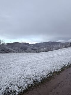
 © Gabriele WagenerVytvorené dňa 25.04.2026
 -
 © Volker WagenerVytvorené dňa 25.04.2026
 -
 © Gabriele WagenerVytvorené dňa 25.04.2026
 -
 © Volker WagenerVytvorené dňa 25.04.2026
 -
 © Volker WagenerVytvorené dňa 25.04.2026
 -
 © Gabriele WagenerVytvorené dňa 25.04.2026
 -
 © Gabriele WagenerVytvorené dňa 09.04.2026
 -
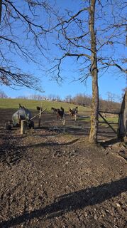
 © Justin BestingVytvorené dňa 26.03.2026
 -
 © Justin BestingVytvorené dňa 26.03.2026
 -
 © Justin BestingVytvorené dňa 26.03.2026
 -
 © Justin BestingVytvorené dňa 26.03.2026
 -
 © Justin BestingVytvorené dňa 26.03.2026
 -
 © Justin BestingVytvorené dňa 26.03.2026
 -
 © Justin BestingVytvorené dňa 26.03.2026
 -
 © Gabriele WagenerVytvorené dňa 24.01.2026
 -
 © Gabriele WagenerVytvorené dňa 24.01.2026
 -
 © Gabriele WagenerVytvorené dňa 24.01.2026
 -
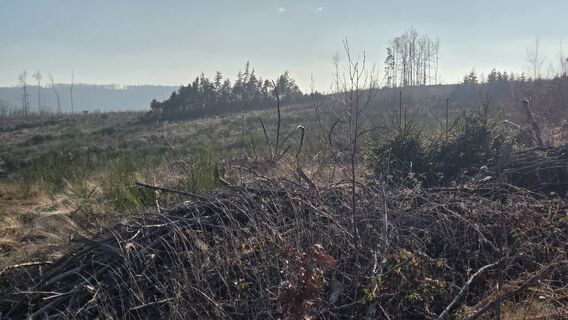
 © Justin BestingVytvorené dňa 23.01.2026
 -
 © Justin BestingVytvorené dňa 23.01.2026
 -
 © Justin BestingVytvorené dňa 23.01.2026
 -
 © Justin BestingVytvorené dňa 23.01.2026
 -
 © Volker WagenerVytvorené dňa 29.05.2025
 -

 © Aslak BehnkeVytvorené dňa 04.05.2025
 -
 © Volker WagenerVytvorené dňa 12.01.2025
 -
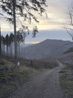
 © Volker WagenerVytvorené dňa 02.01.2025
 -
 © Volker WagenerVytvorené dňa 07.07.2024
 -
 © Volker WagenerVytvorené dňa 07.07.2024
 -
 © Volker WagenerVytvorené dňa 07.07.2024
 -
 © Volker WagenerVytvorené dňa 07.07.2024
 -
 © Markus SteinwenderVytvorené dňa 25.08.2024
 -
 © Markus SteinwenderVytvorené dňa 25.08.2024
 -
 © Volker WagenerVytvorené dňa 03.10.2024
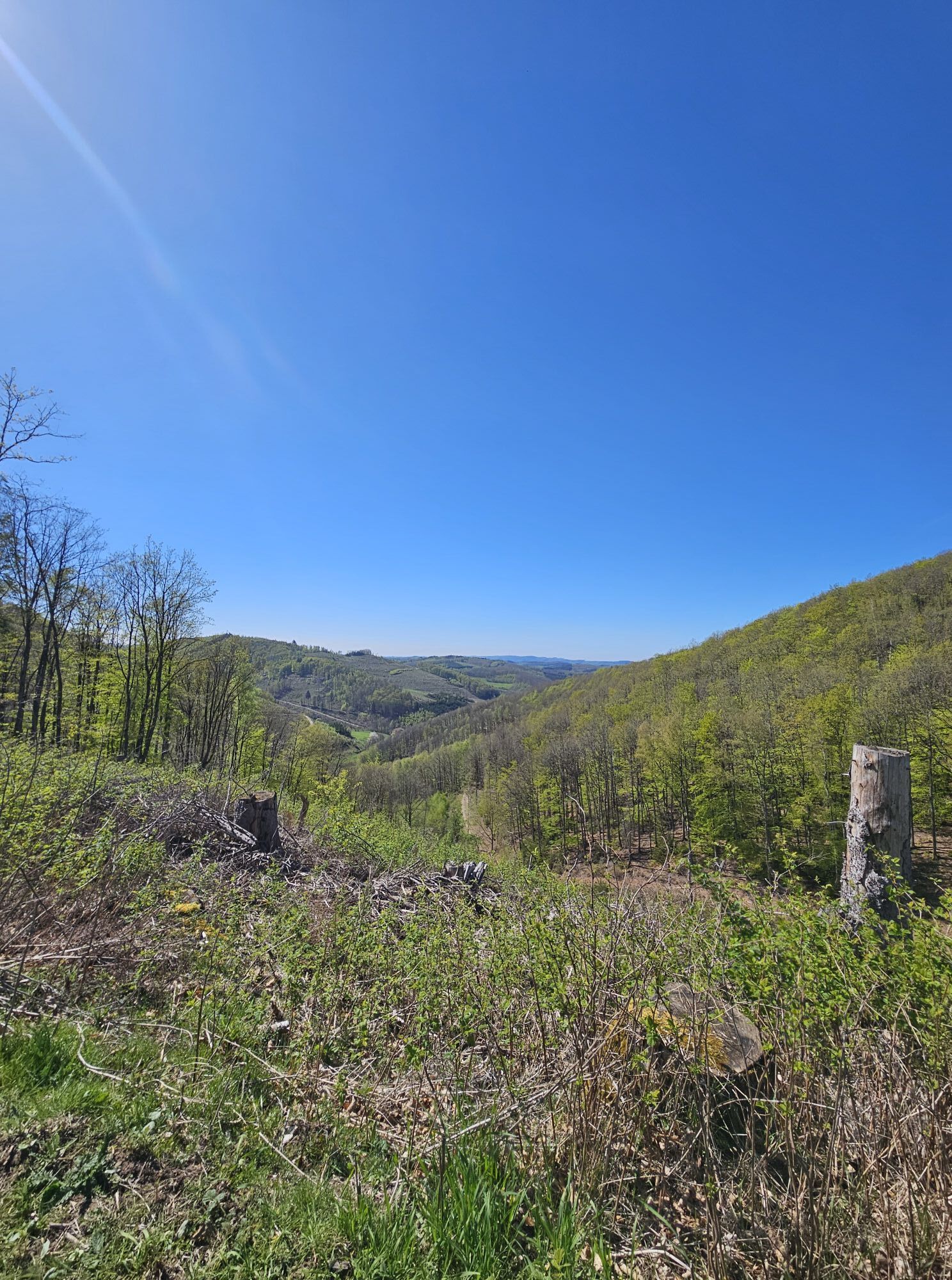
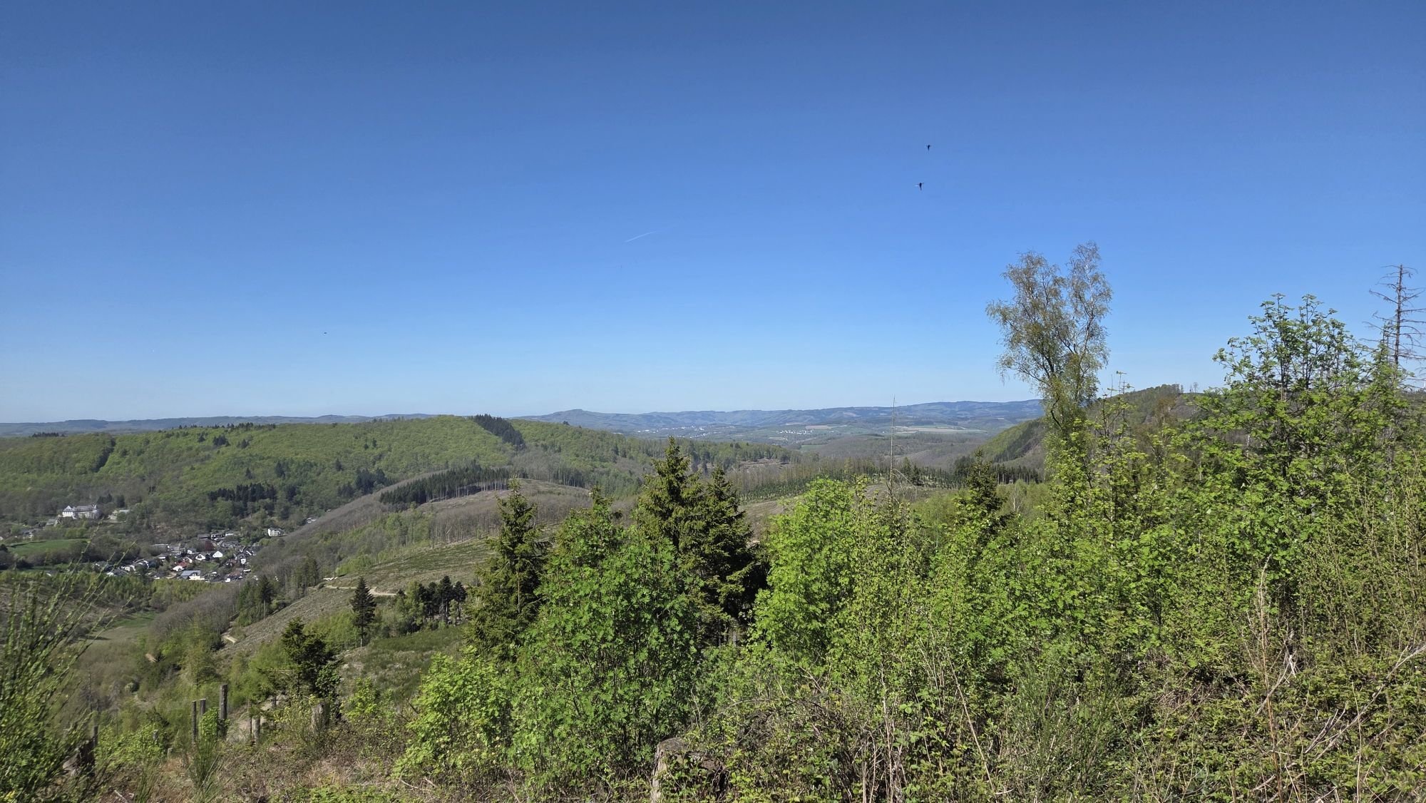
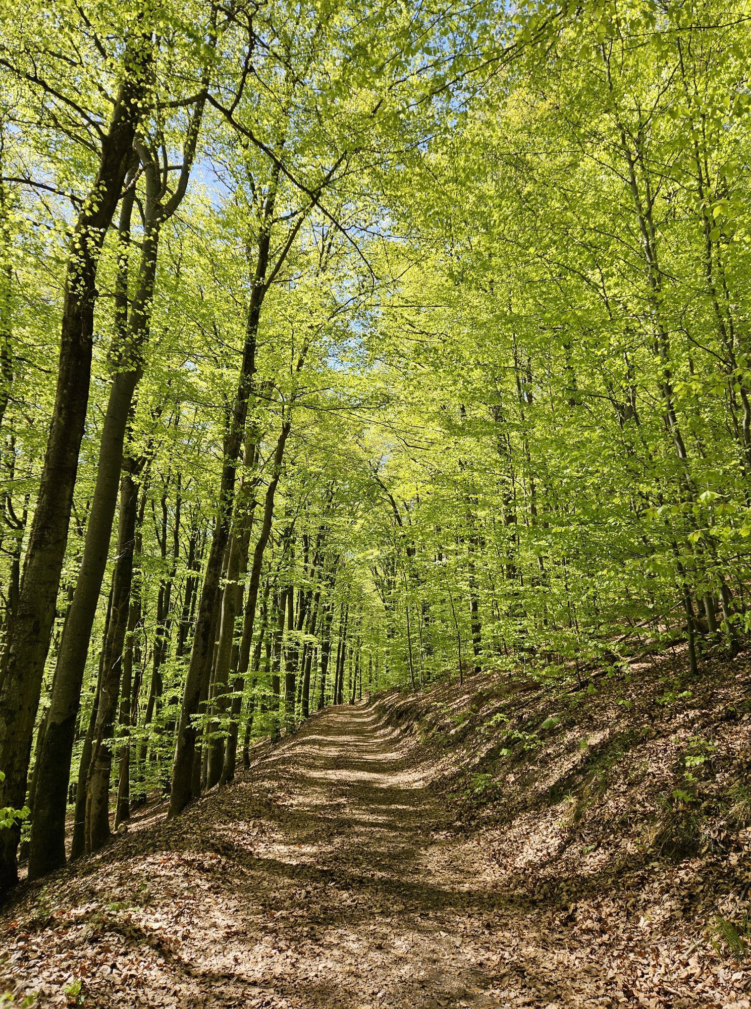

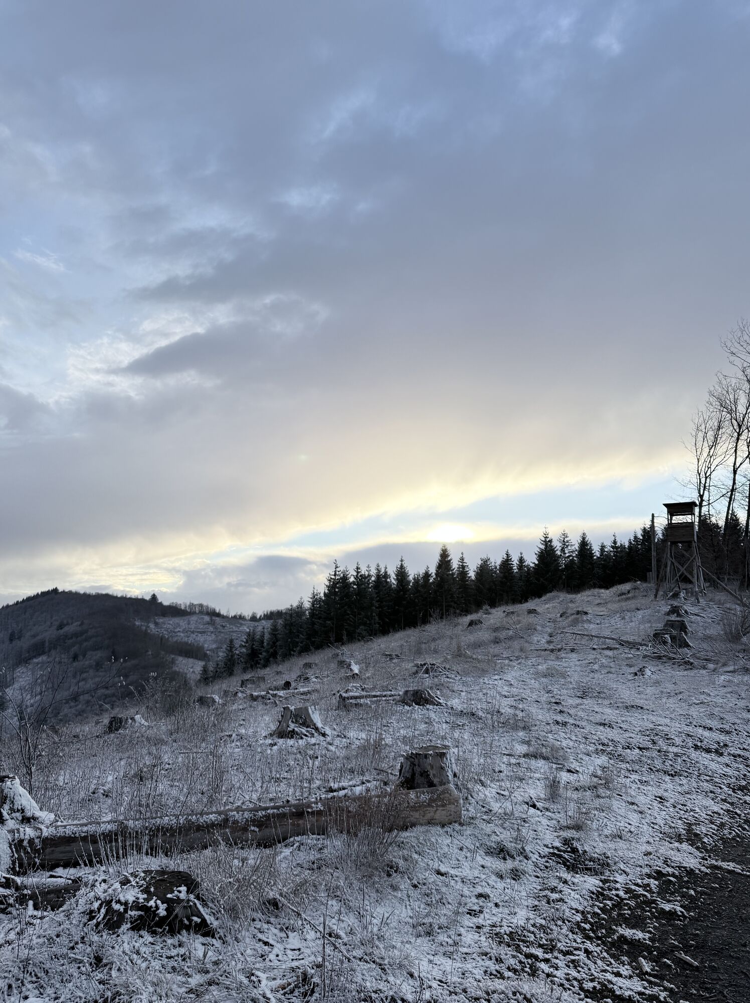
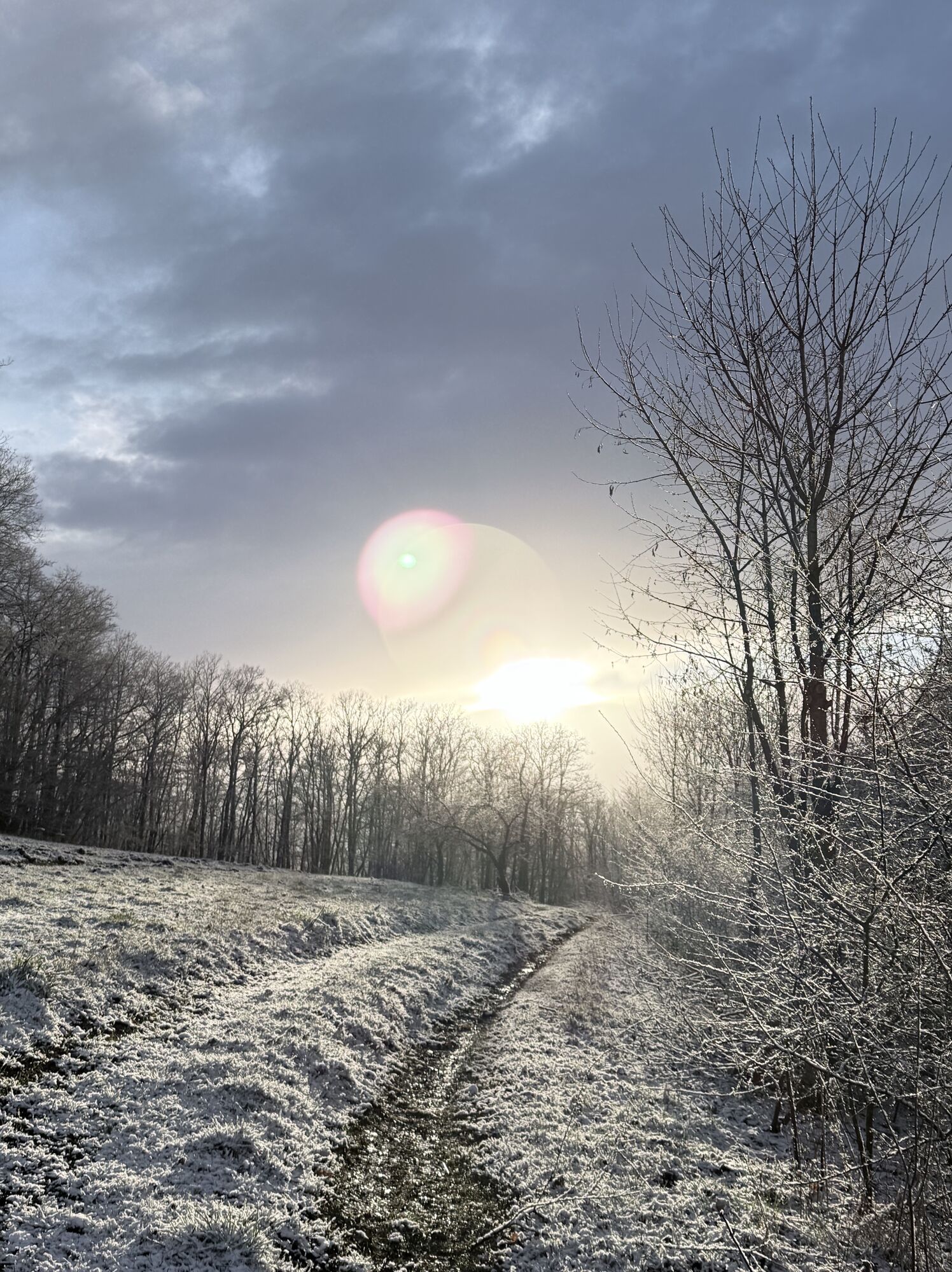
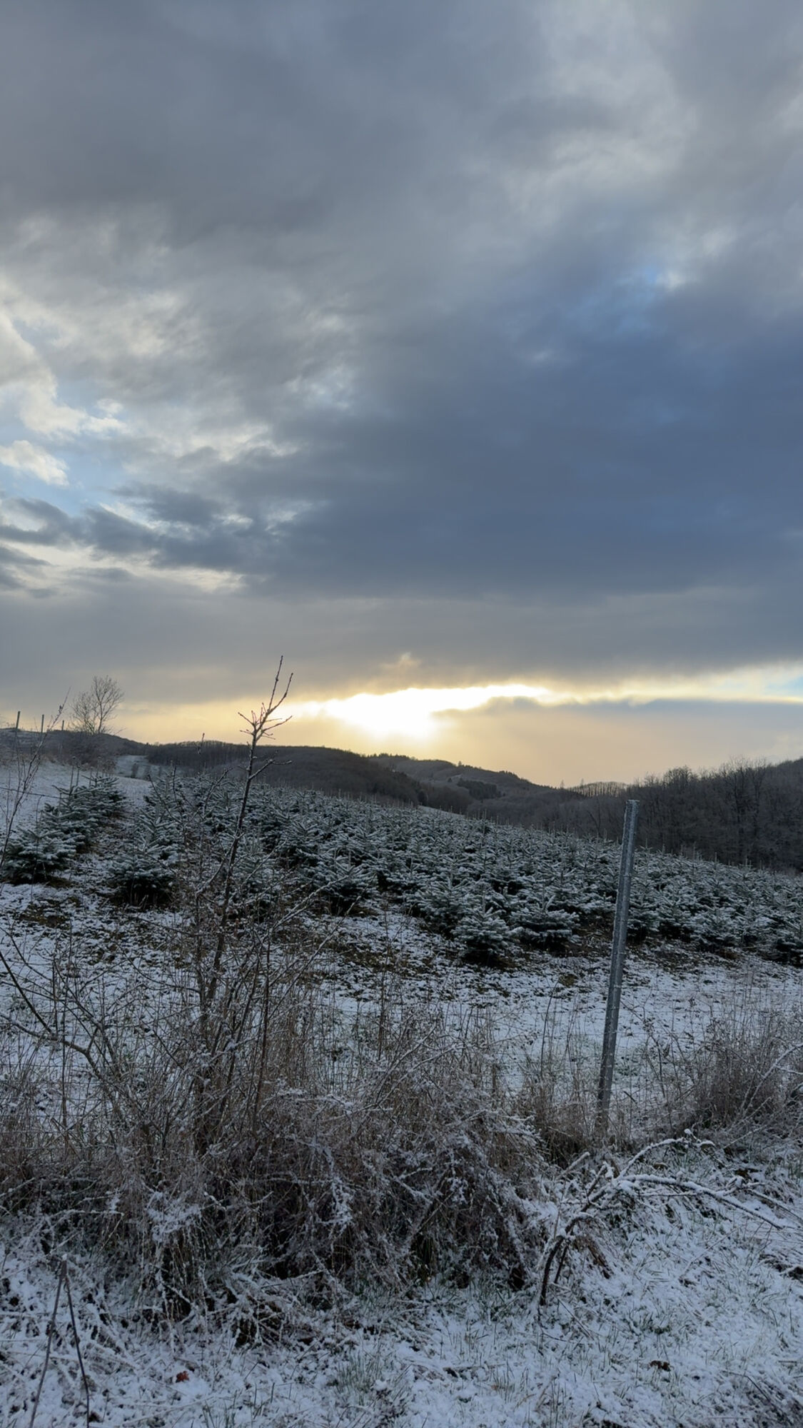

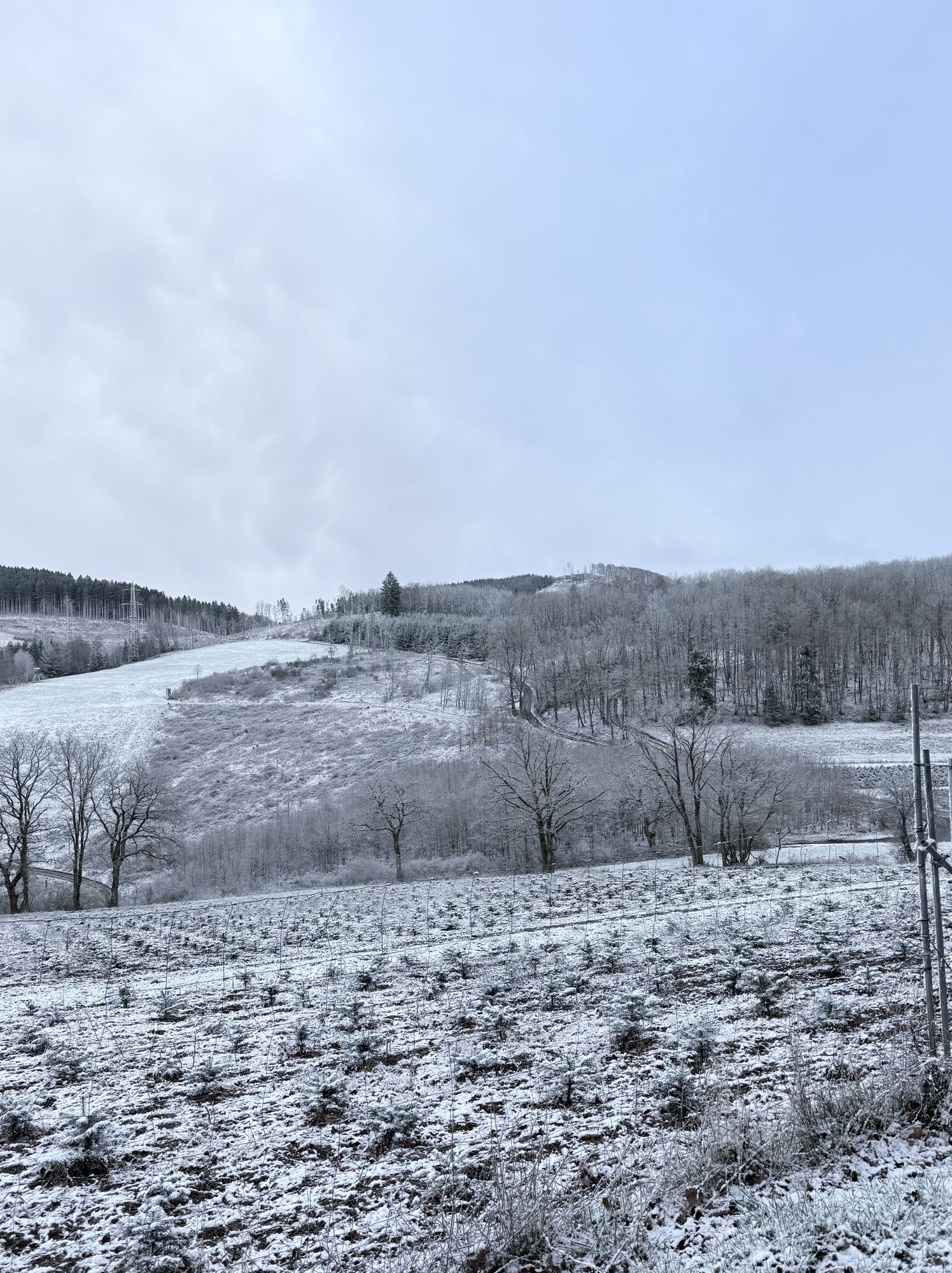
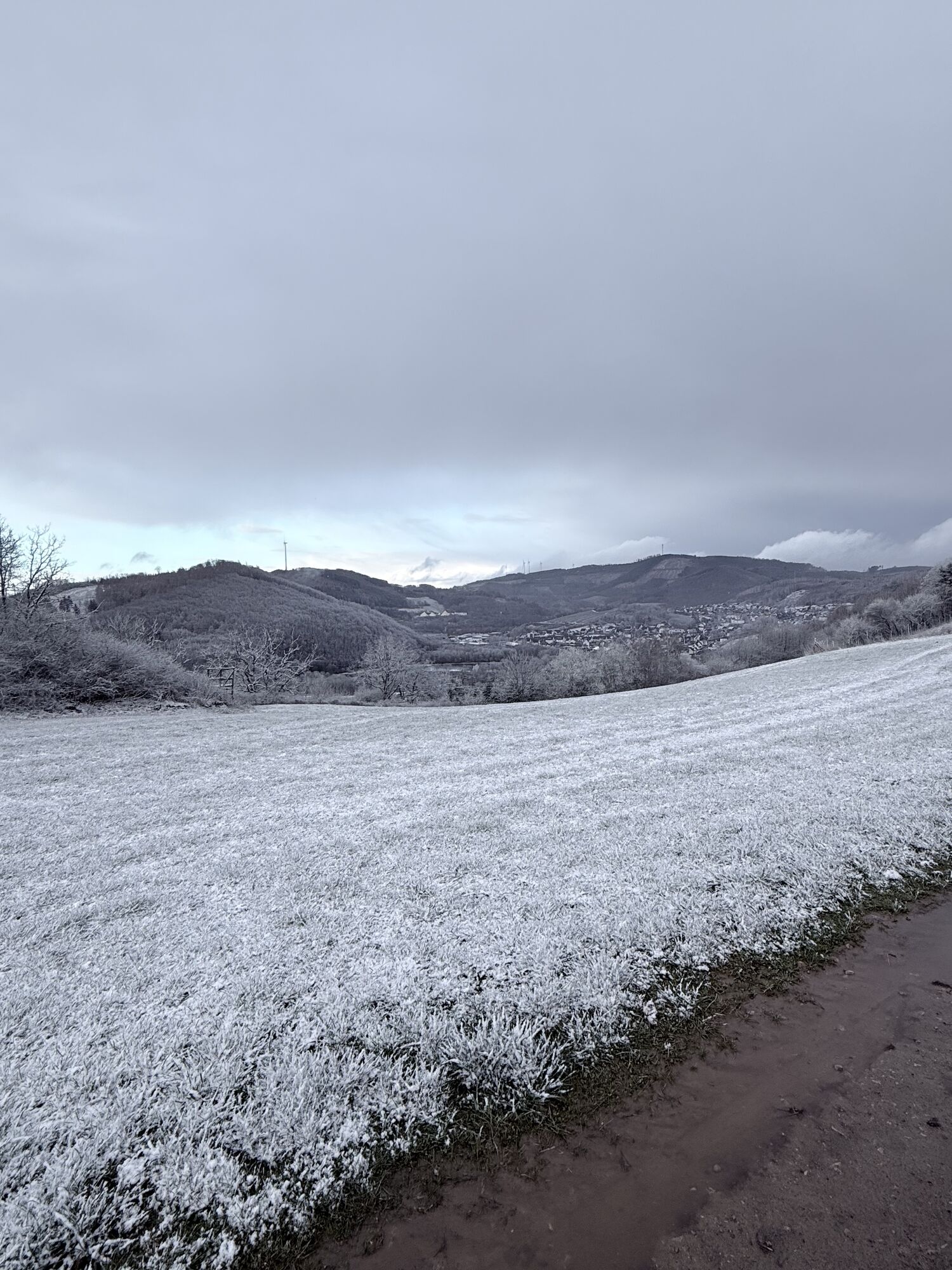
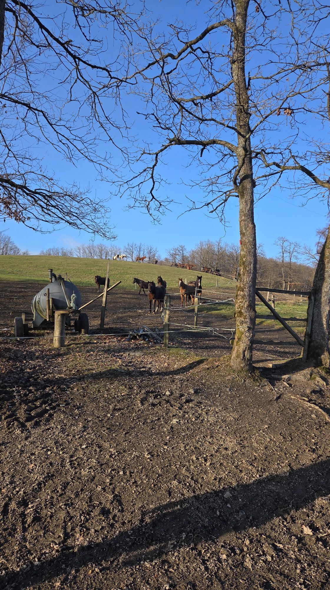
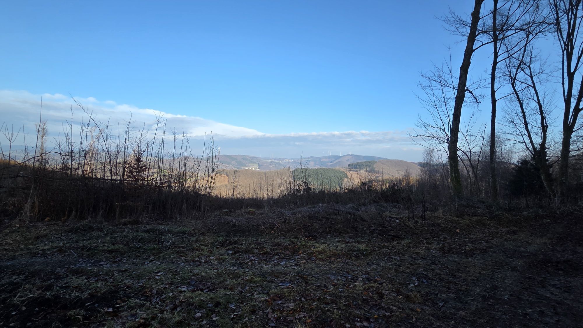

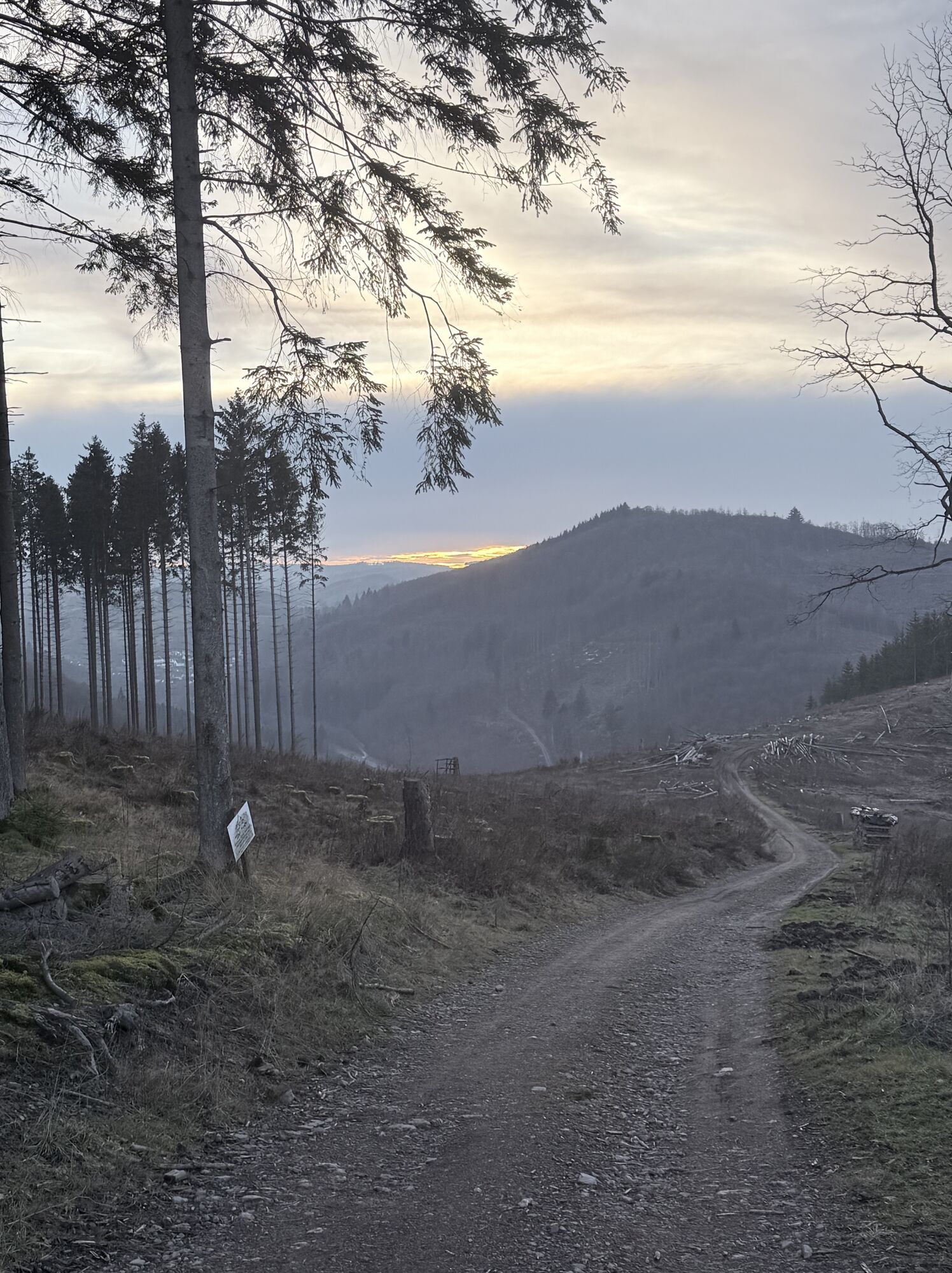
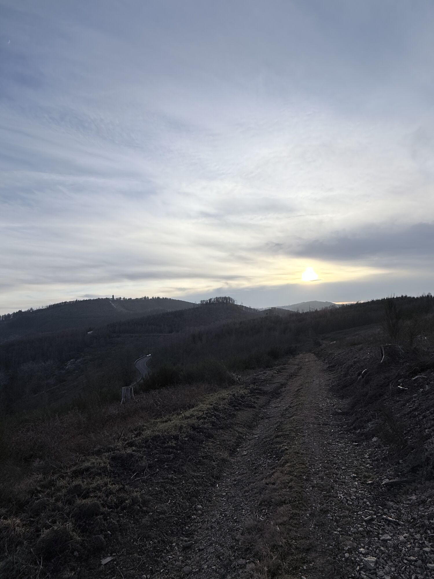
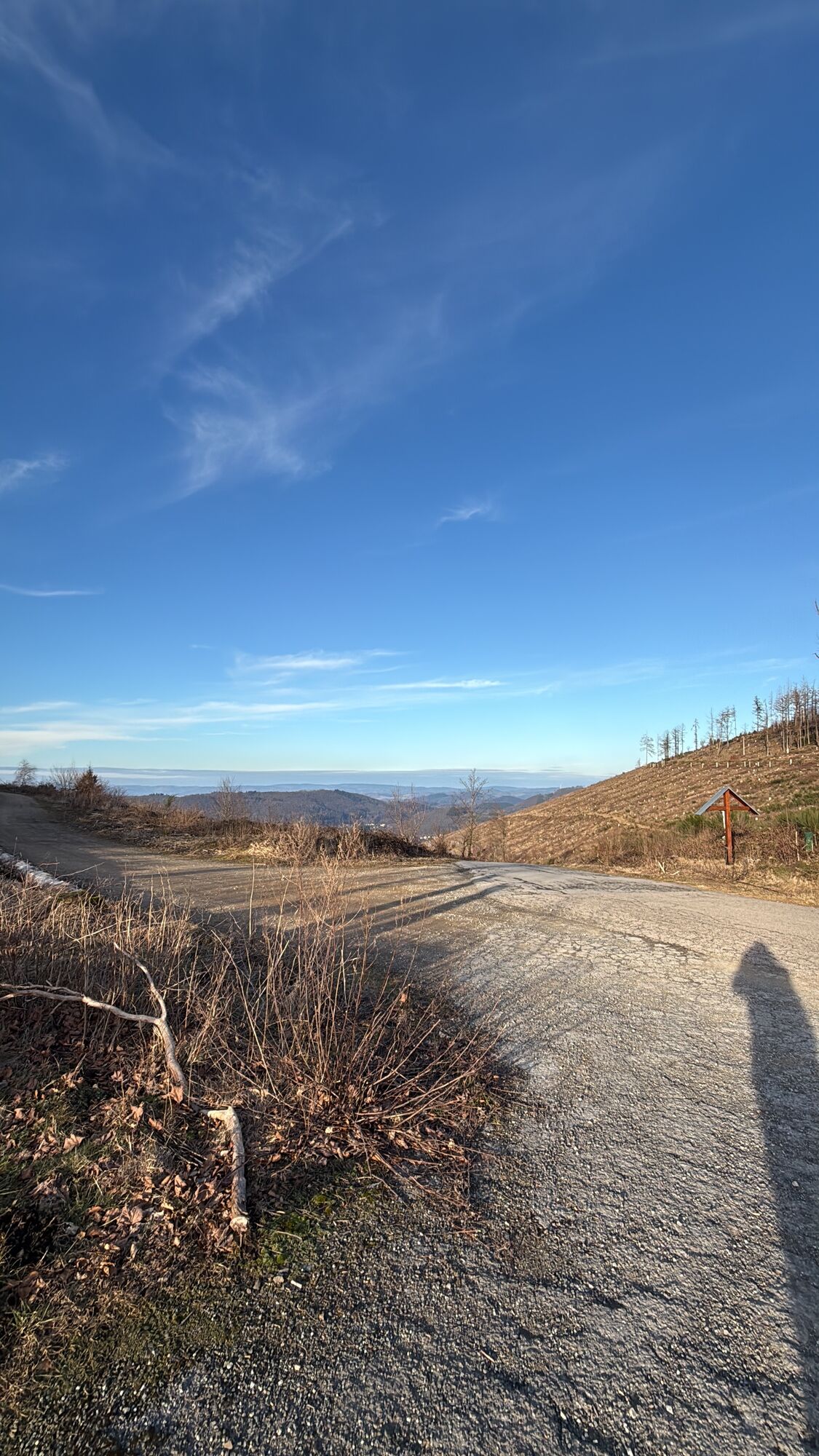
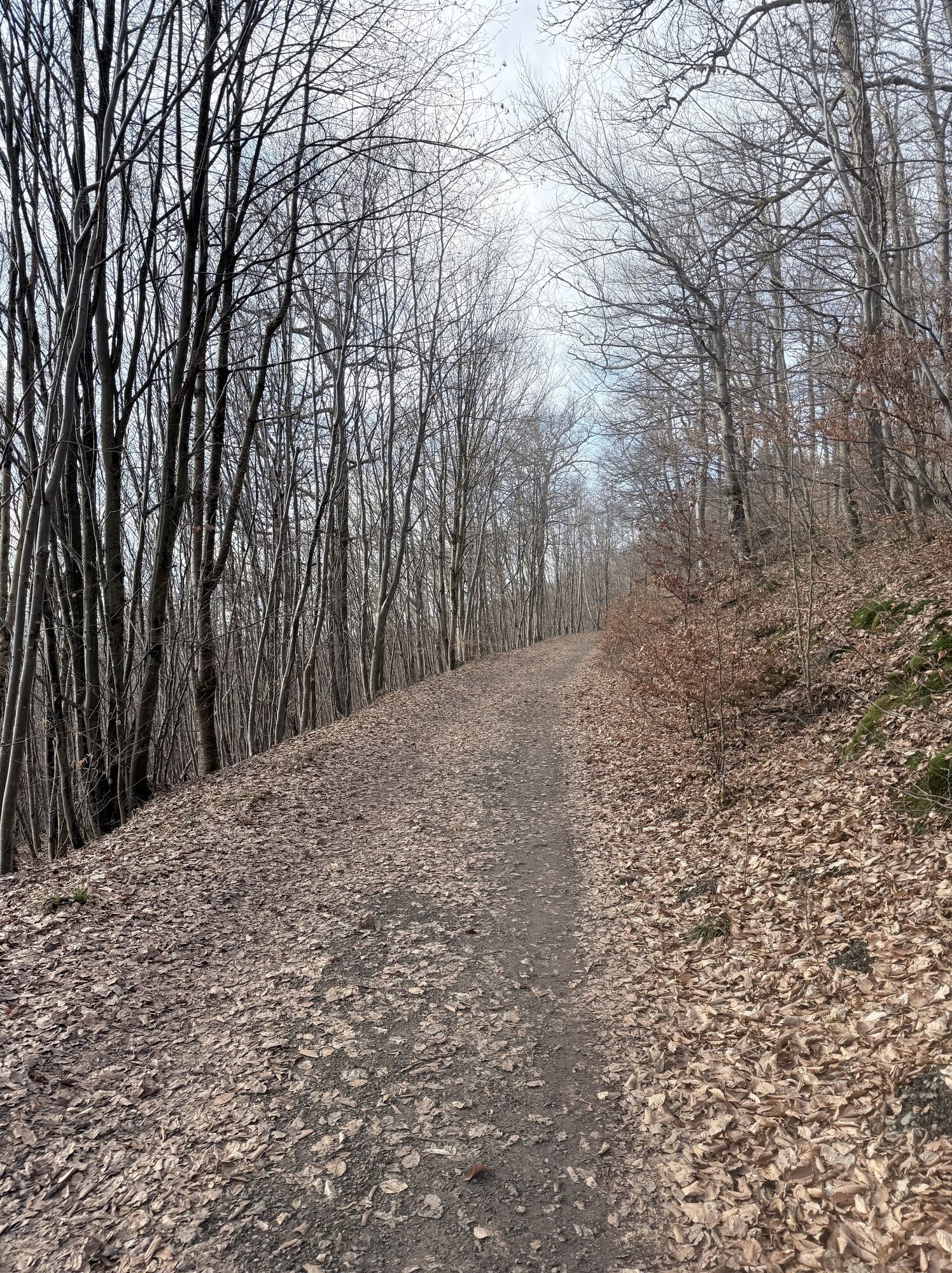
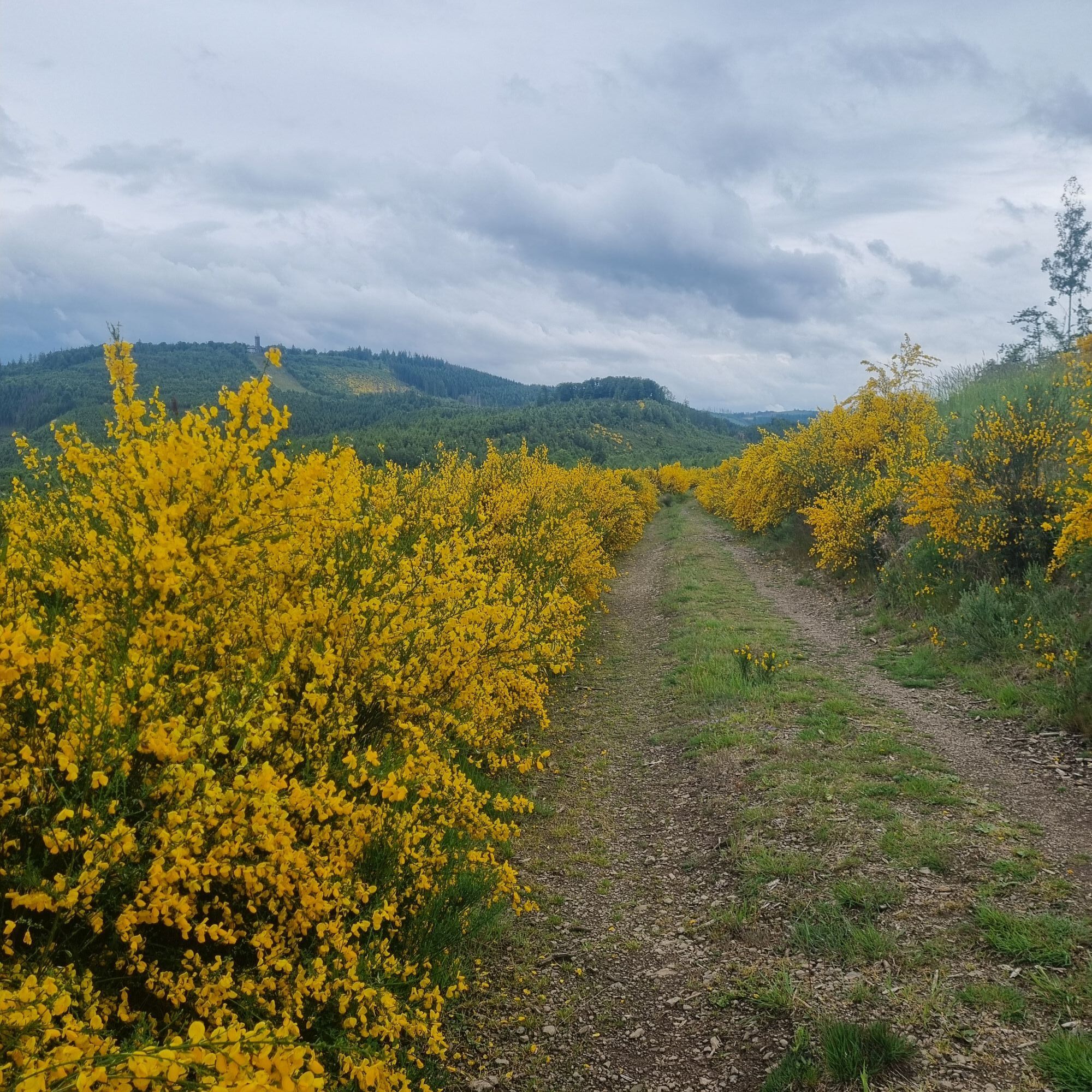
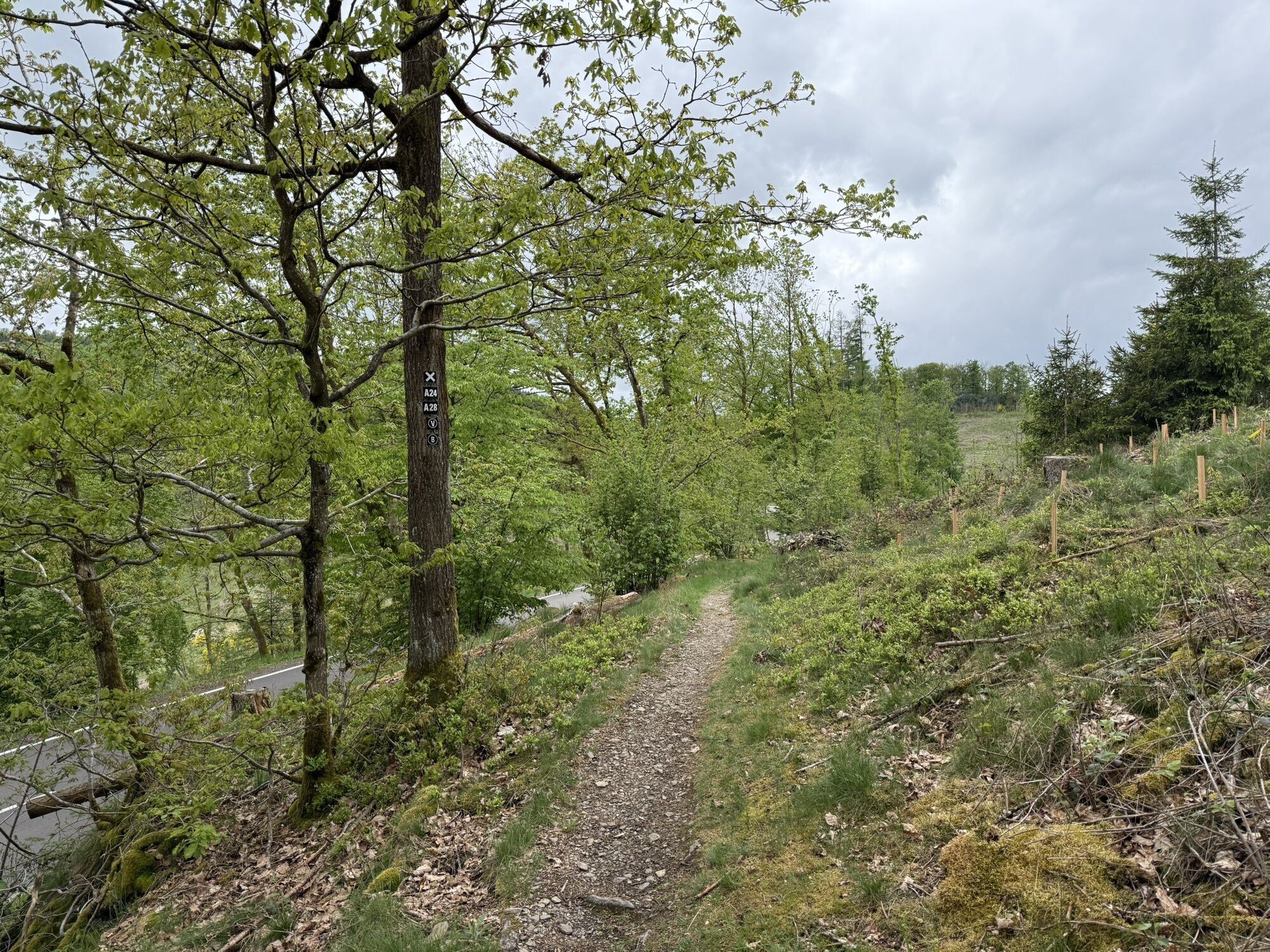

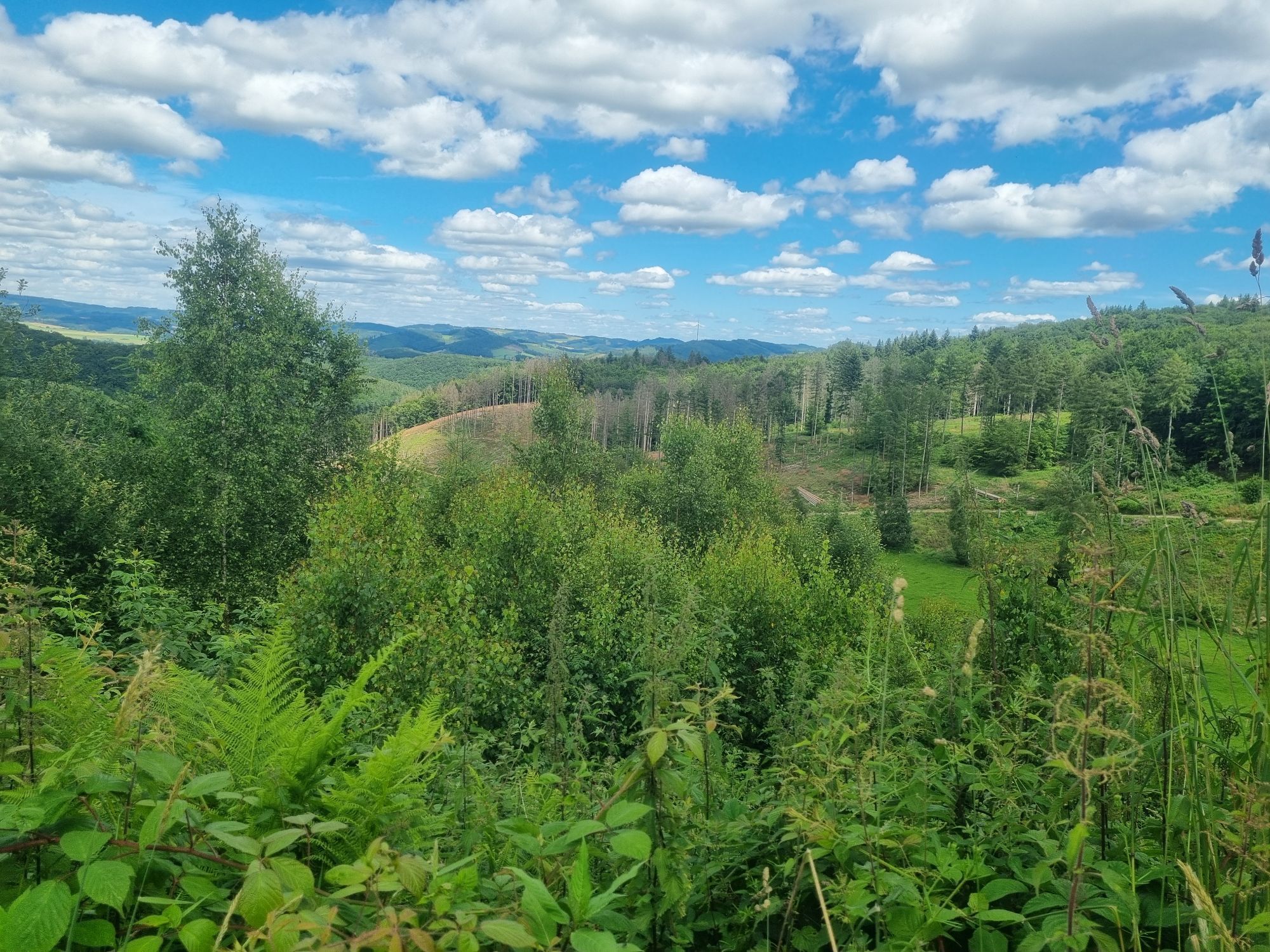
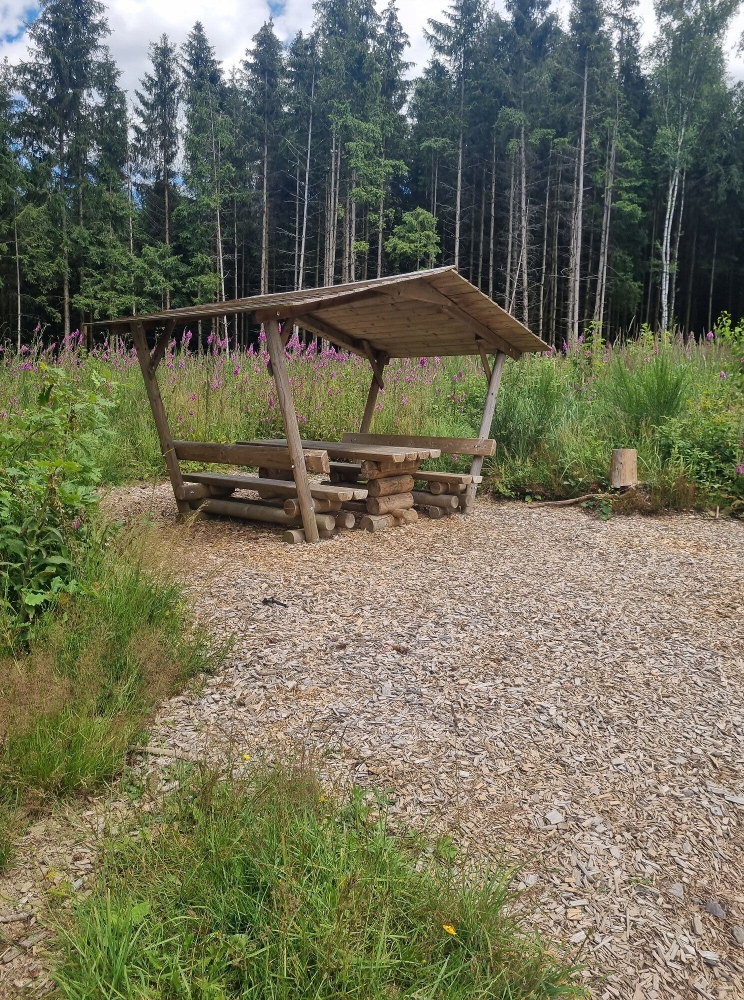
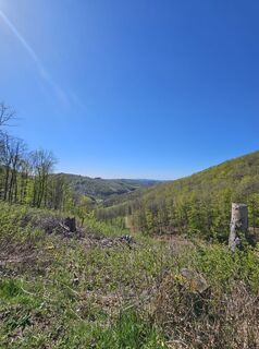
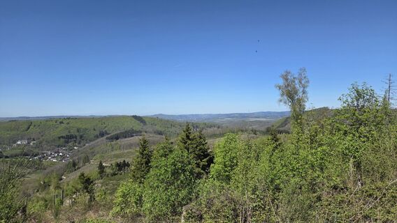
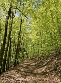
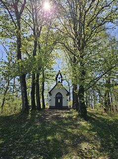
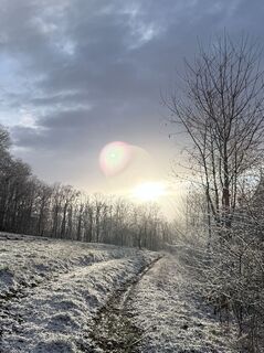
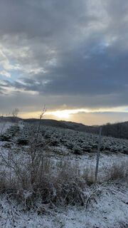
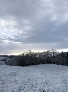
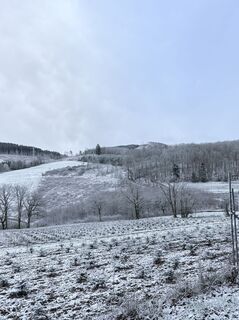
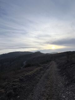
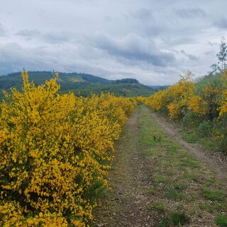
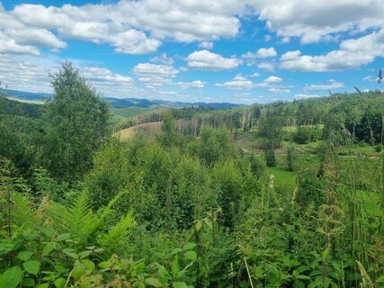
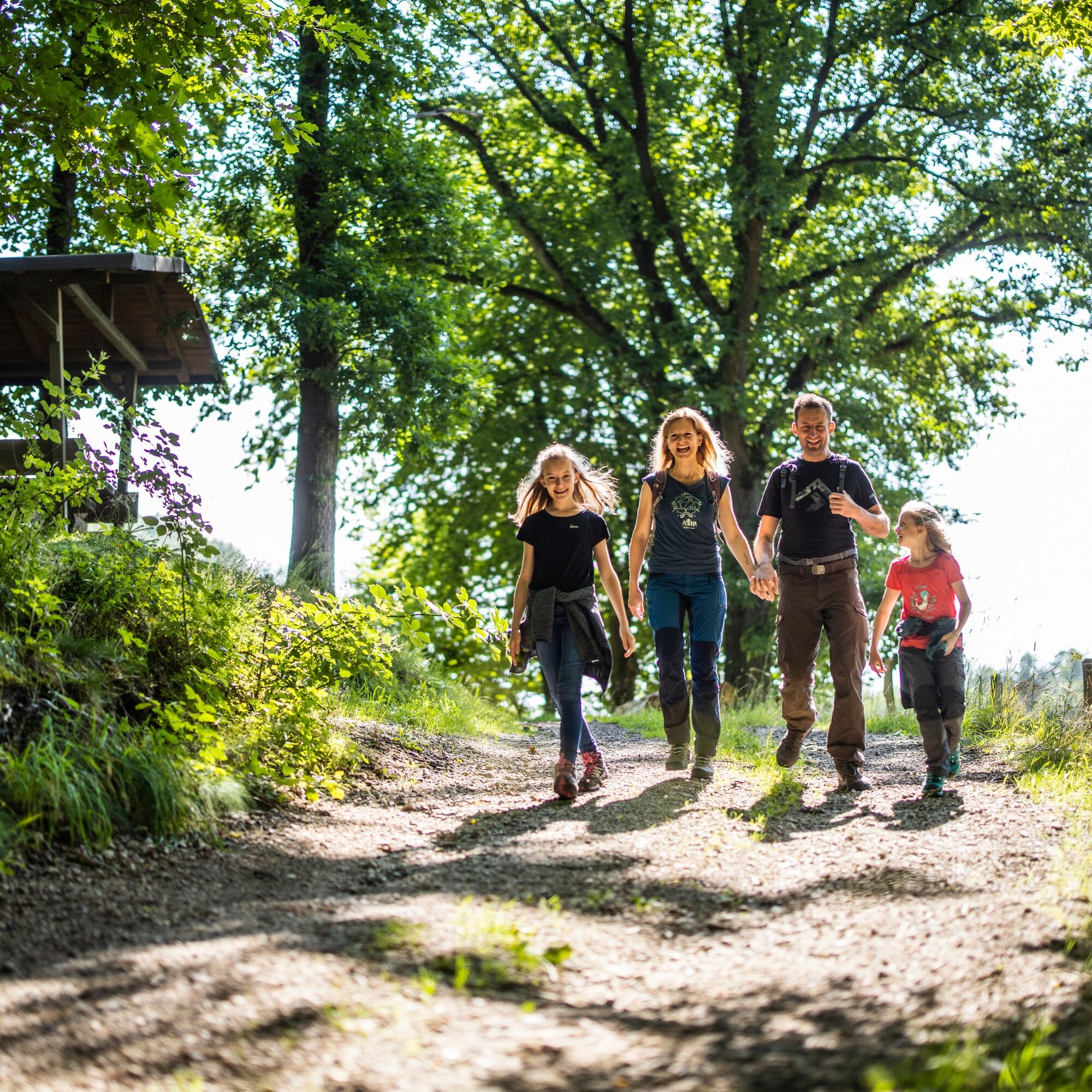
The hike on the "Veischeder Sonnenpfad" is not exactly easy. However, it rewards you with wonderful views of charming half-timbered towns and wide fields and forests – and the "Lowwerhannes snack board".
If...
The hike on the "Veischeder Sonnenpfad" is not exactly easy. However, it rewards you with wonderful views of charming half-timbered towns and wide fields and forests – and the "Lowwerhannes snack board".
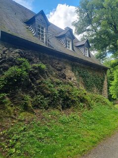
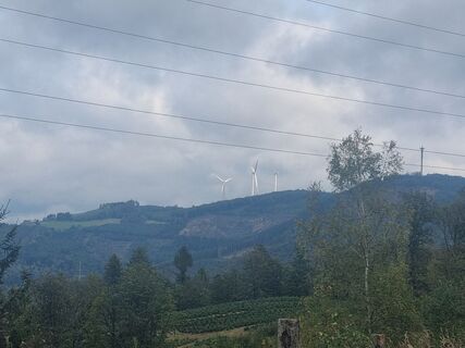
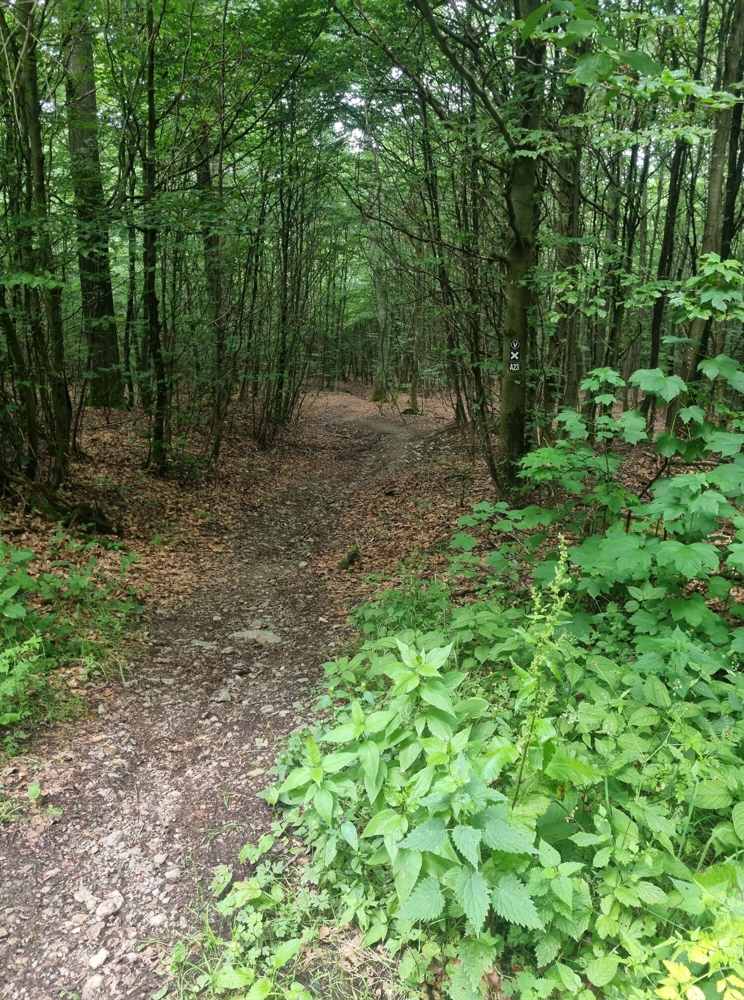
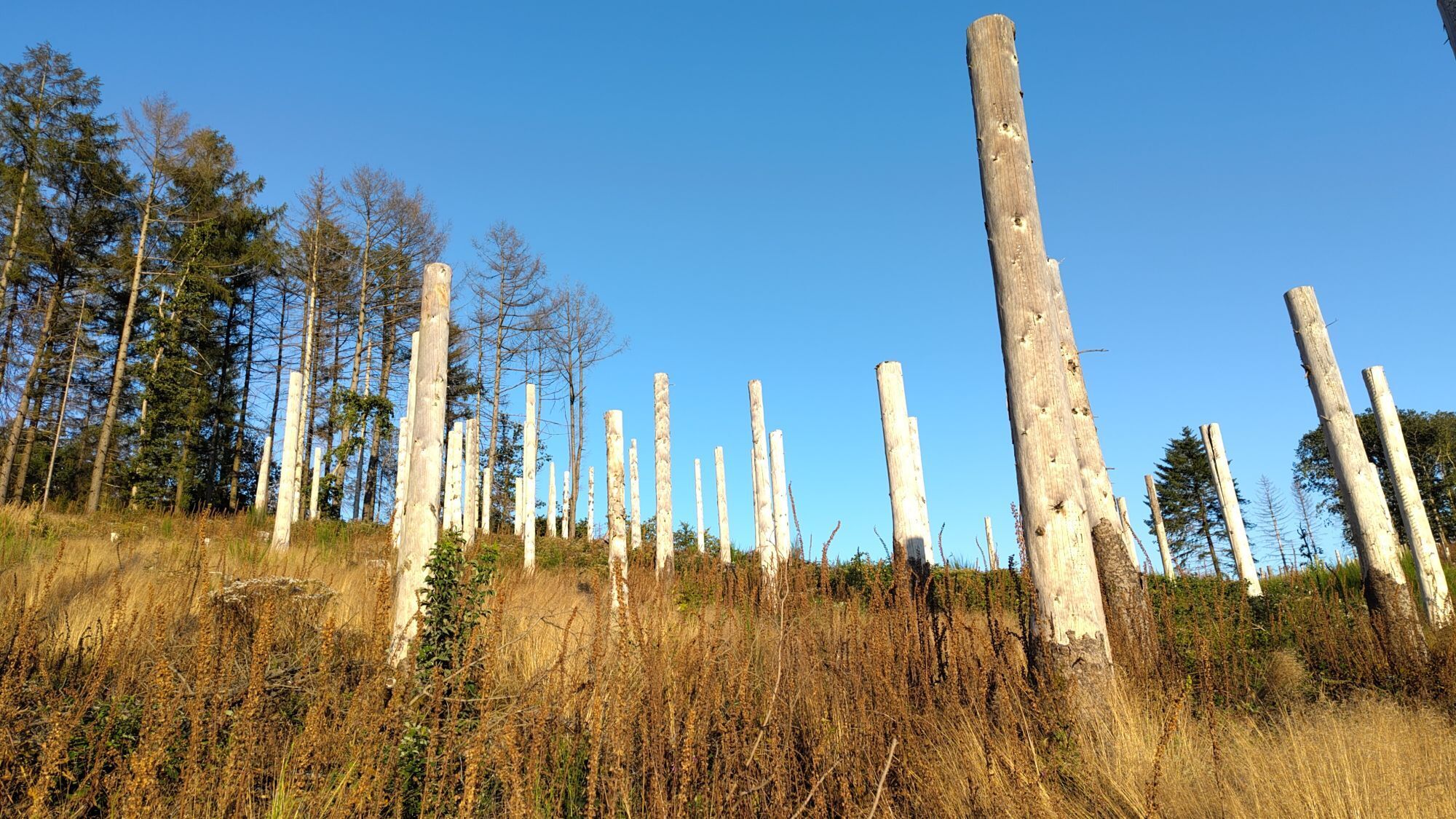
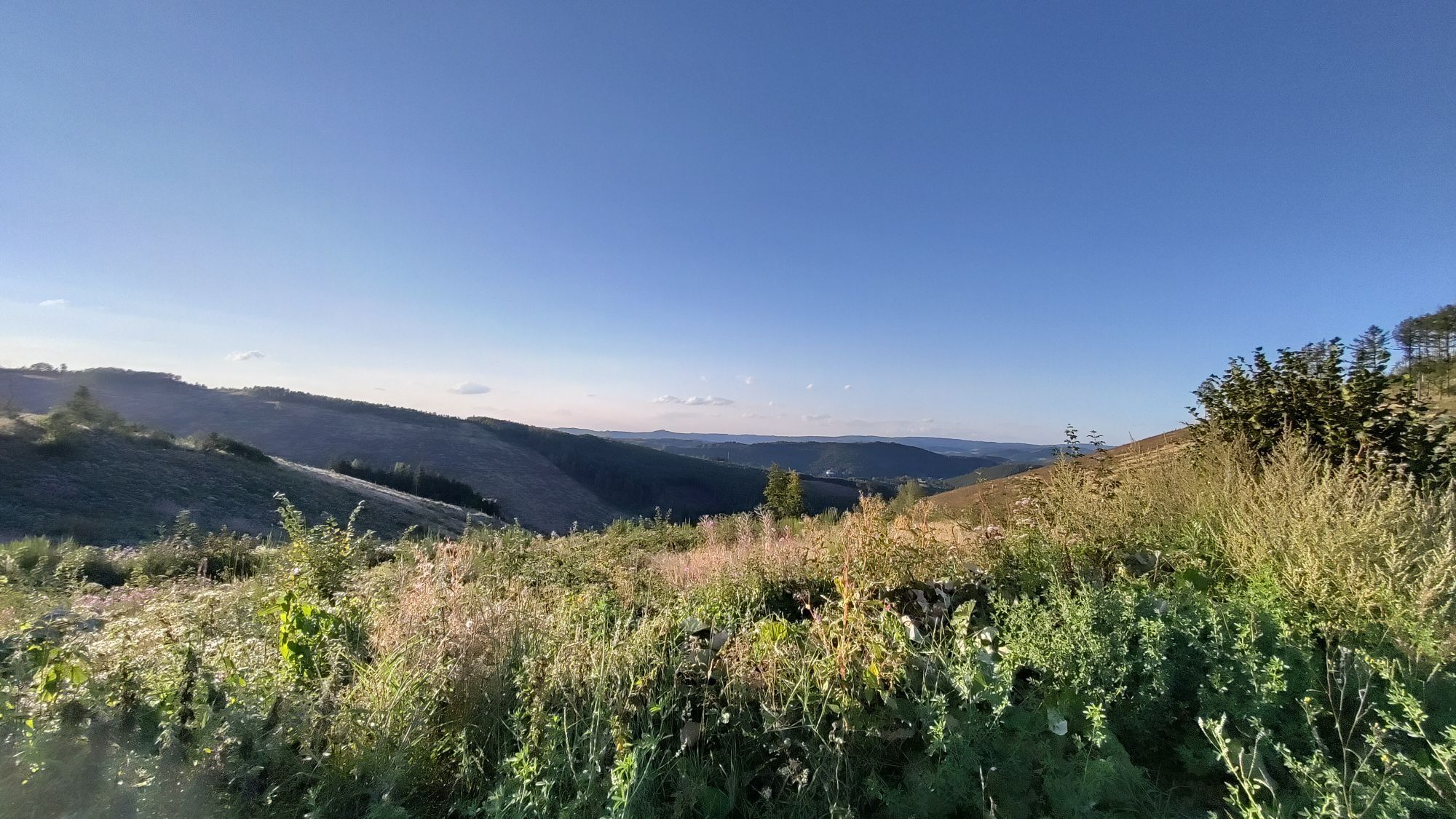
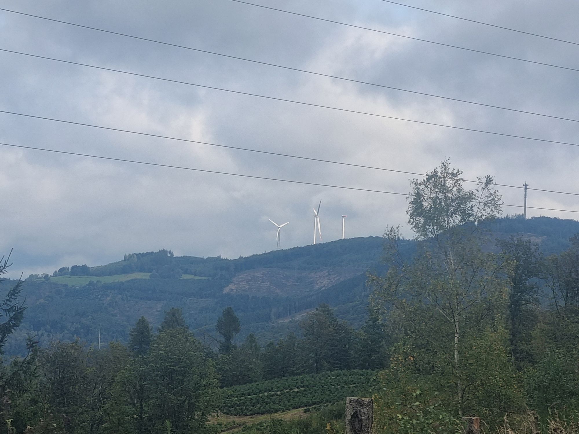
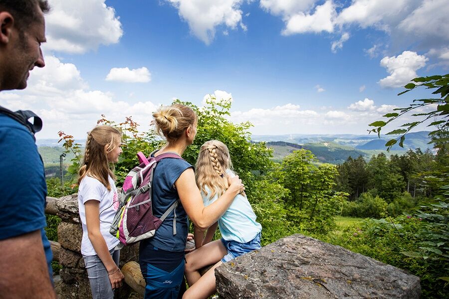
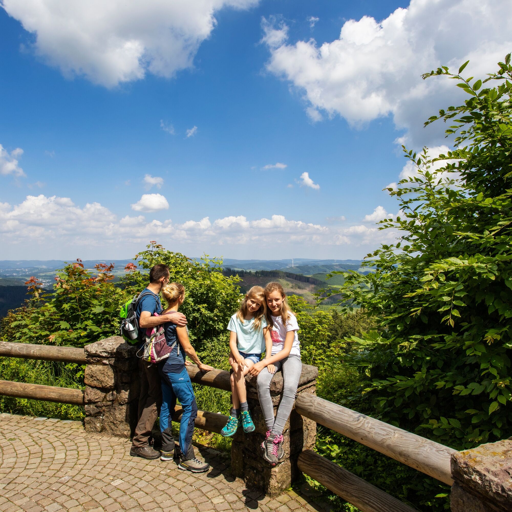
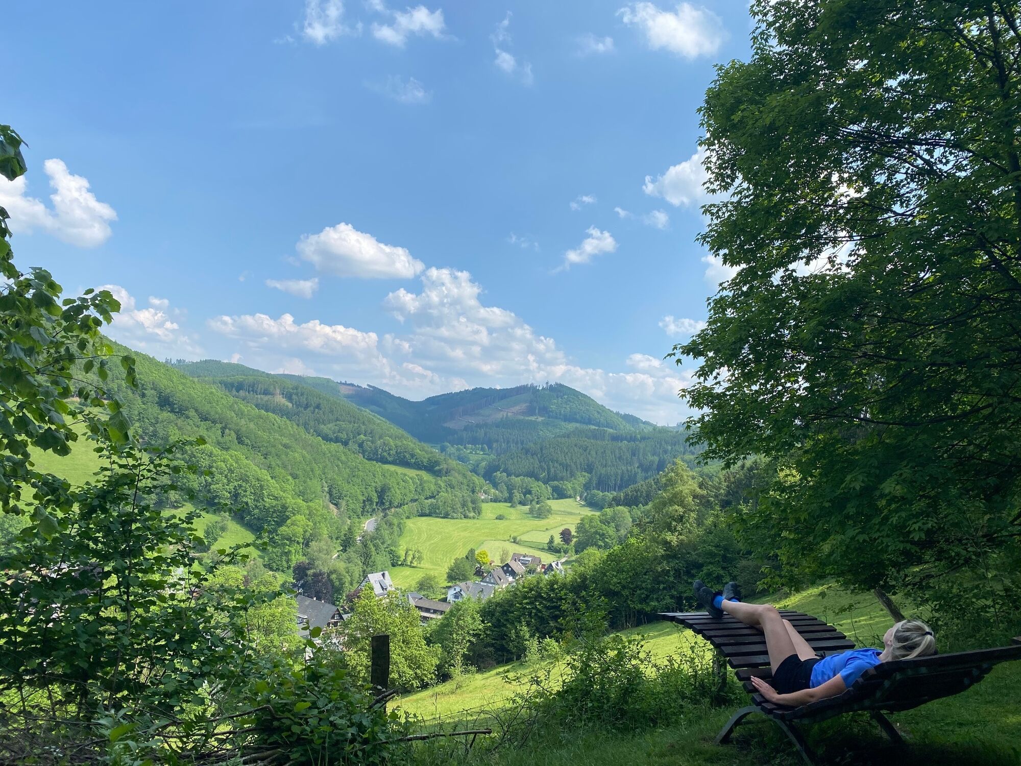
If fit and athletically ambitious, you can complete the "Veischeder Sonnenpfad" in Sauerland in one day. The circular route, which leads through the Sauerland Veischedetal, is only 37 kilometers long. However, it would be a shame if this left not enough time to enjoy the beautiful surroundings: for example, the view of the charming half-timbered villages nestled in the valley or the wide fields and forests. One of the highlights along the path is the Bilstein Castle, built in the 13th century and now used as a youth hostel. The courtyard, from which you can enjoy a great view of Bilstein and the hilly surroundings, may be visited when the castle gate is open.
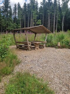
A special tip for refreshment on the way is also the "Lowwenhannes snack board," offered at many establishments along the route. The snack is named after Johann II, the last nobleman who lived in Bilstein Castle and died in 1365. His spirit is said to still wander in the forests around the castle. Those who receive the snack board get fresh Sauerland grey bread, homemade sausage and ham, and a herbal schnapps.
Since 2013, the "Veischeder Sonnenpfad" has carried the quality seal "Qualitätsweg Wanderbares Deutschland."
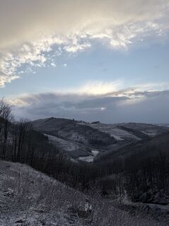
Only 15 km from the BAB Sauerland line (A45), the gently rolling landscape of southern Sauerland welcomes you. Enjoy and discover towering heights, the spicy, clear air, and the views into the valley with its charming half-timbered villages on the Veischeder Sonnenpfad.
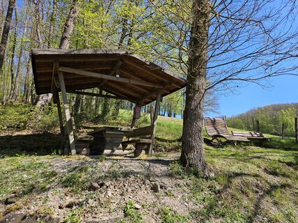
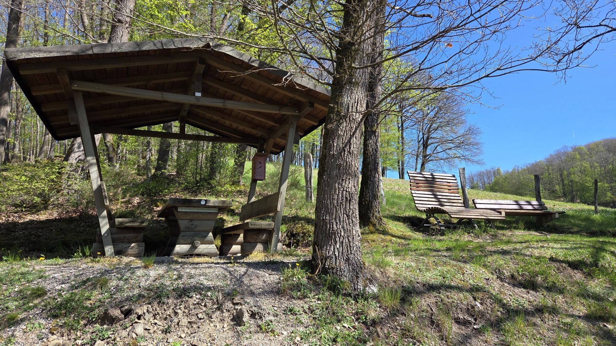
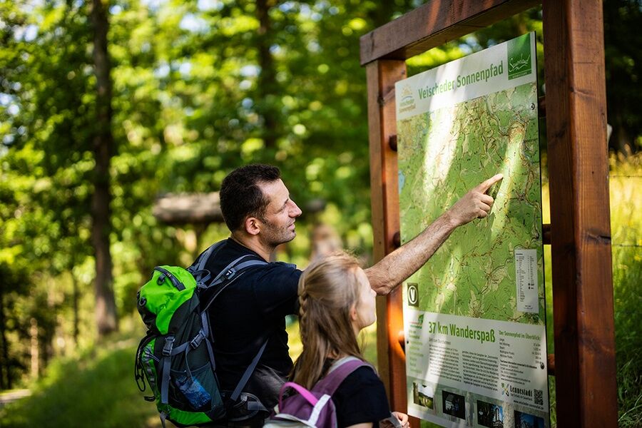
Hike a stage from place to place or the entire loop (approx. 10–12 hours), stop at one of the restaurants along the way, or stay overnight in one of the hotels or guesthouses of Gastronomie Veischedetal, where friendly hosts will gladly welcome and serve you.


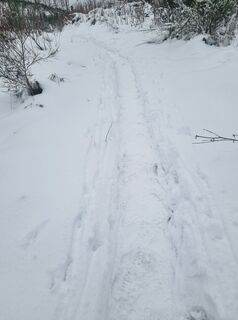
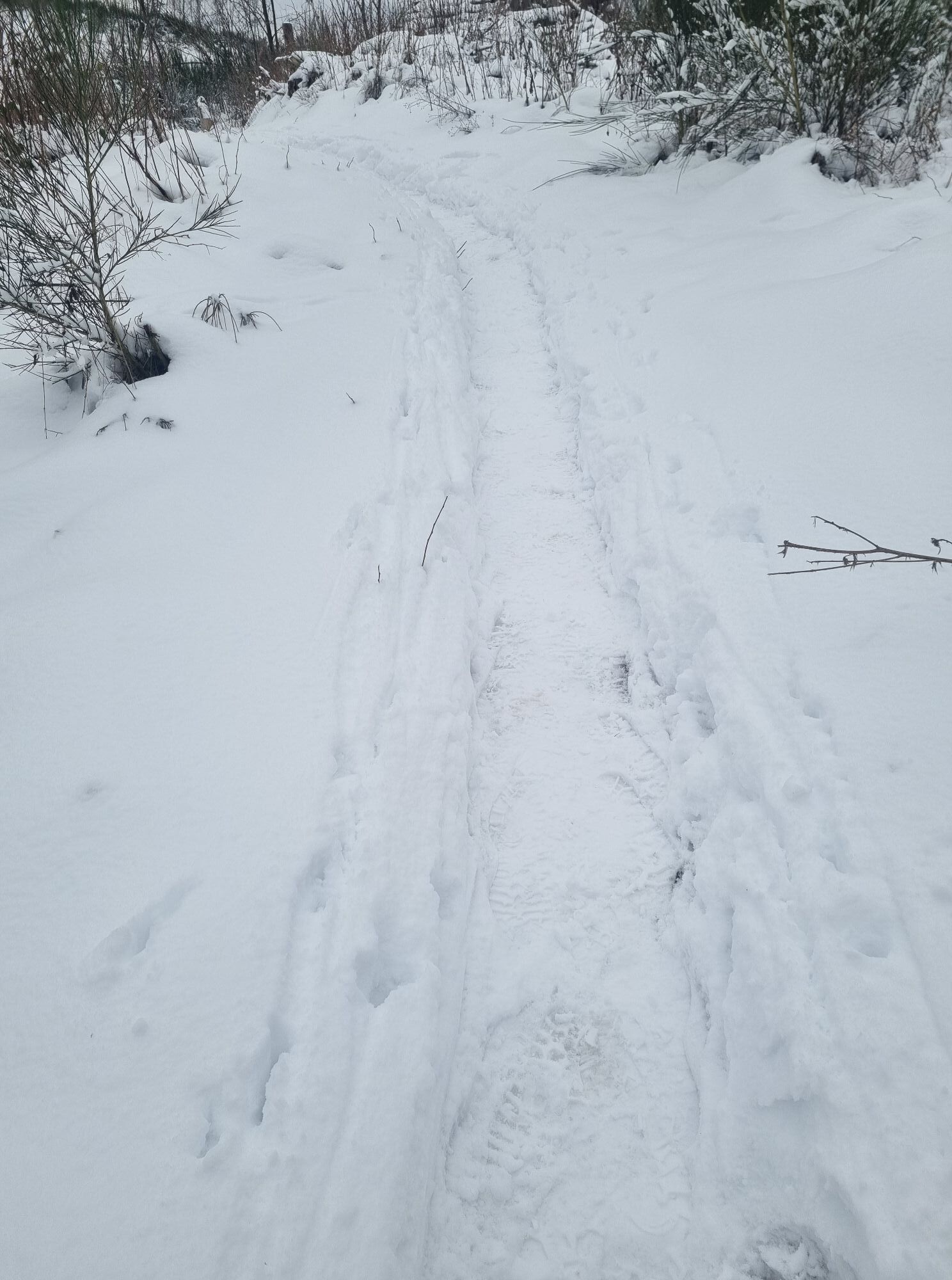
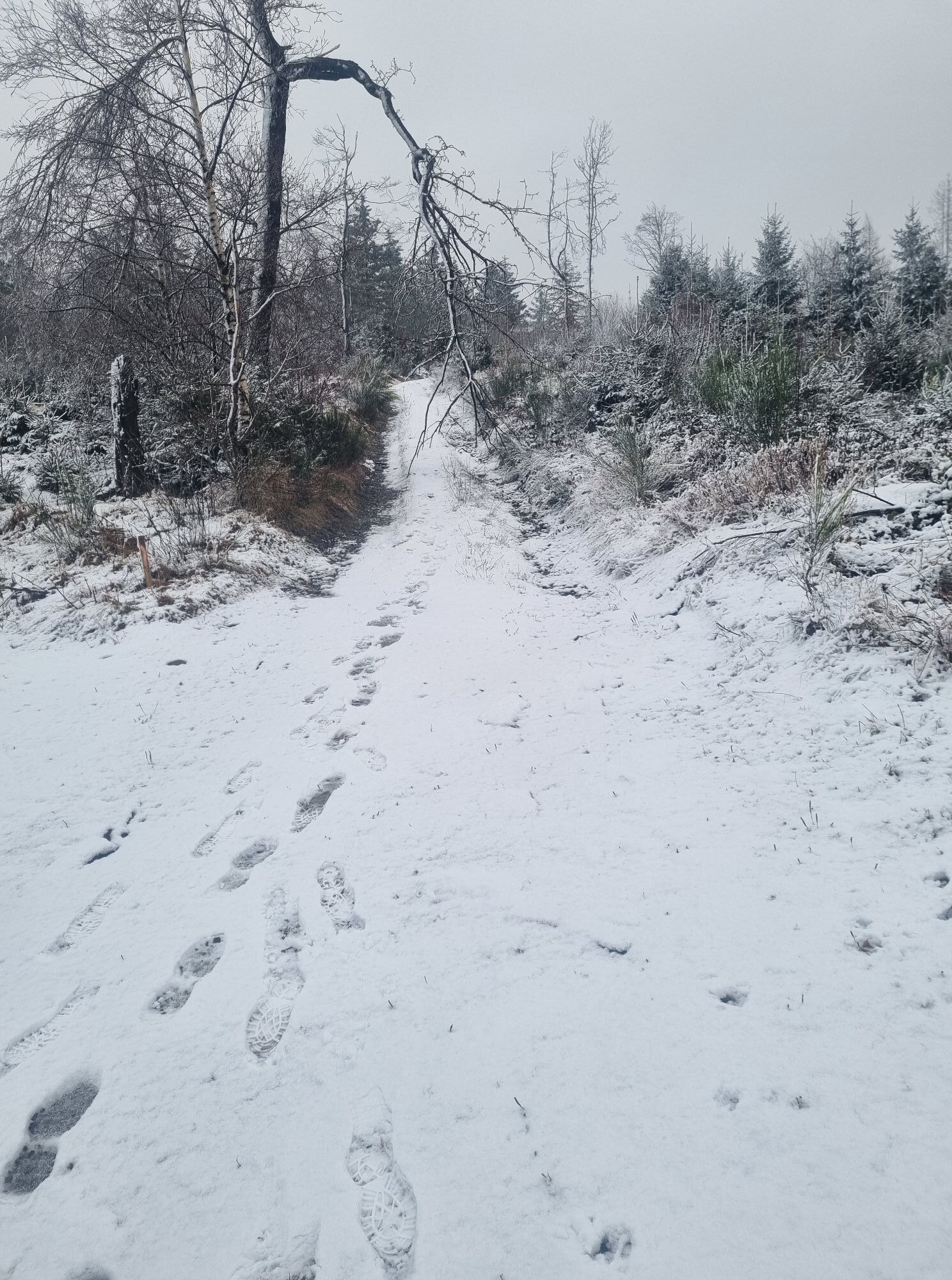
Sturdy footwear and weatherproof clothing are recommended!
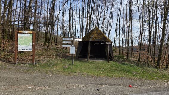
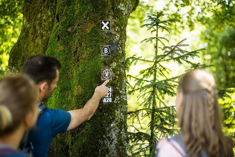
Hiking trails mostly run away from towns and settlements, and every hiker has pondered what to do in case of an emergency. How can I be found here? Where am I exactly? Can the rescue service reach me?
In an emergency, time is critical! Therefore, the Veischeder Sonnenpfad is continuously equipped with so-called rescue signs. On the green and white plaques attached to the posts of the signposts, there is a number you must provide when making your emergency call. This tells the rescue teams exactly where you are, saving valuable time.
Some starting points can be conveniently reached by bus, e.g., Altenhundem and Bilstein.
Along the path, there are repeatedly hiking parking lots that can be used as entry points to the trail.
- Bilstein Castle (The courtyard, from which you also have a great view of Bilstein and the hilly surroundings, may be visited when the castle gate is open
- Hohe Bracht observation tower (check opening times)
- Lowwenhannes snack board at a stop
Obľúbené výlety v okolí
-
5,0
Rothaarsteig Trail Oberhundem Mountain Tour
strednáTuristika 11,5 km -
4,0
2 Burgen Weg
svetloTuristika 16,9 km -
5,0
Quality tour: Krenkeltal and Goldener Zapfen - ridge walk between the Rhine and Weser rivers
strednáTuristika 11,3 km -
Plettenbergs größtes Schwimmbecken: Die Oestertalsperre
strednáTuristika 7,23 km -
4,0
Drolshagen A4 varied and relaxing
strednáTuristika 10,3 km -
Hohe Bracht round
svetloTuristika 8,90 km -
RuHe-Pfad (Around Helden in the Repetal)
strednáTuristika 13,9 km -
About sunken castles and wild cliffs
strednáTematická trasa 14,6 km -
4,0
Attendorn-Silbecke
strednáTuristika 12 km -
Radroute Biggesee
svetloCyklistika 16,6 km

Turistika a stopovanie


Nenechajte si ujsť ponuky a inšpiráciu na ďalšiu dovolenku
Vaša e-mailová adresa bol pridaný do poštového zoznamu.