
Boucle du Mas Del Bos n°21/Tursac
stredná
Získajte túto prehliadku v mobilnom telefóne
Boucle du Mas Del Bos n°21/Tursac
stredná
Jazda na koni
9,66
km
Naskenujte kód QR a spustite navigáciu v aplikácii bergfex


Turistika a stopovanie





Boucle du Mas Del Bos n°21/Tursac
stredná
Vzdialenosť
9,66
km
Trvanie
02:05
h
Ascent
243
hm
Hladina mora
69 -
220
m
Stiahnutie skladby
Boucle du Mas Del Bos n°21/Tursac
stredná
Jazda na koni
9,66
km
A loop that follows the meanders of the Vézère at Tursac and leaves the valley to enter the thick woods towards the plateaus before returning to the wide plain of the river.This itinerary offers a short...
Opis
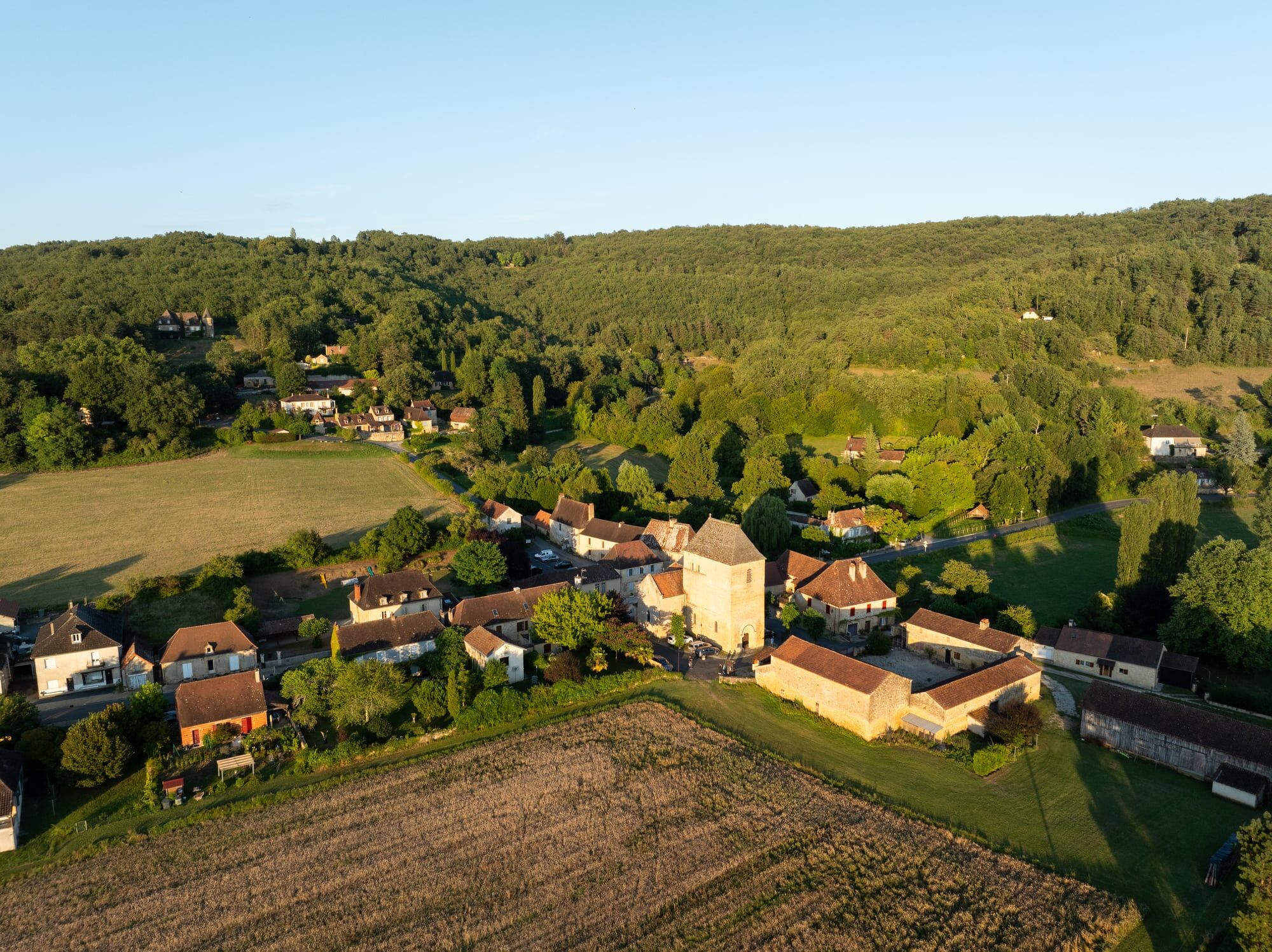
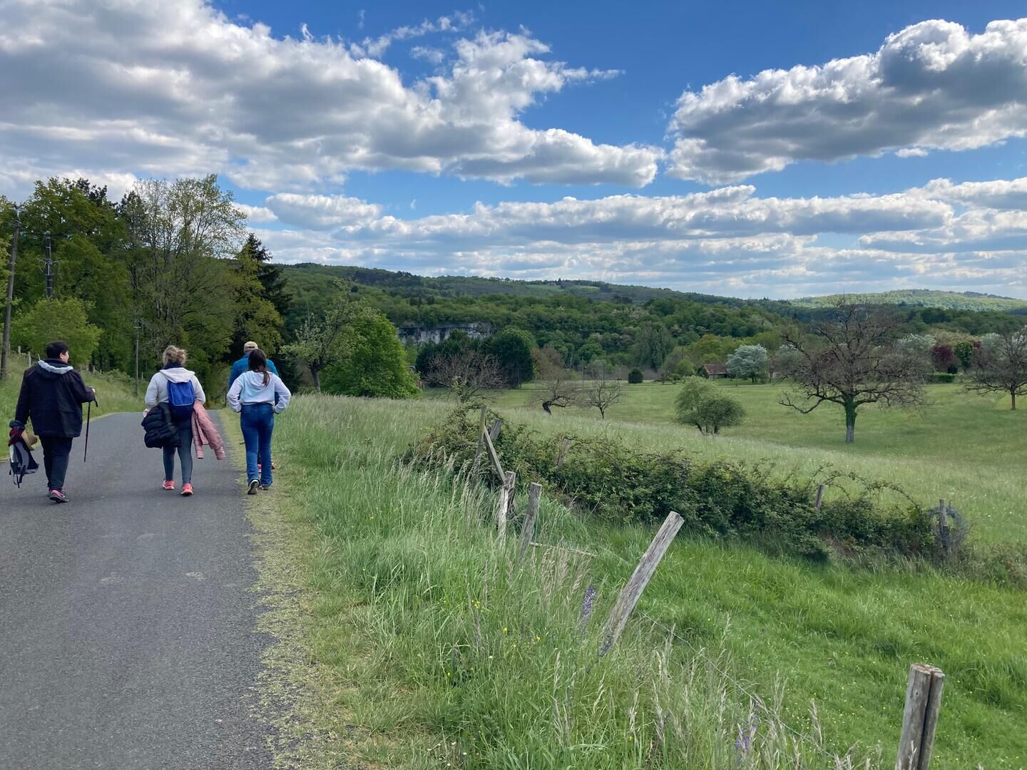
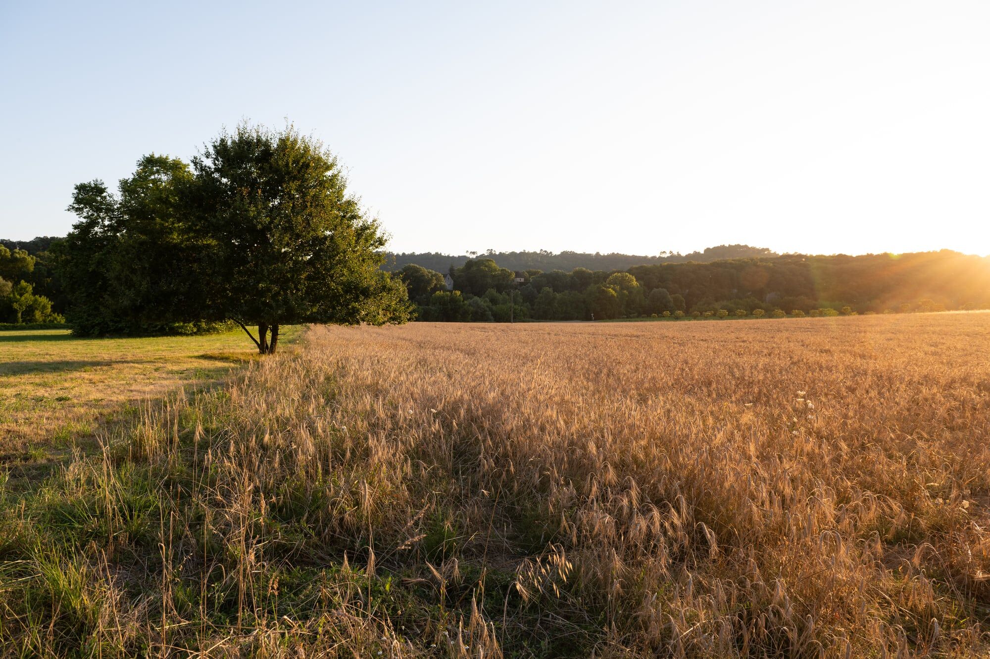
A loop that follows the meanders of the Vézère at Tursac and leaves the valley to enter the thick woods towards the plateaus before returning to the wide plain of the river.
This itinerary offers a short version: 7,5 km for 2h30,
and a long version : 11km for 4h00.
Trasa
Trasa
Boucle du Mas Del Bos n°21/Tursac
stredná
Jazda na koni
9,66
km
Autor
Poskytuje Intense Périgord Noir
Prehliadku Boucle du Mas Del Bos n°21/Tursac zabezpečuje outdooractive.com.


Informácie o trase
Vhodné pre invalidné vozíky
Áno
Ďalšie informácie a tipy
Ďalšie informácie
OT Lascaux Dordogne Vallée Vézère
www.lascaux-dordogne.com
Tipy
Yellow
Zatiaľ žiadne recenzie
Obľúbené výlety v okolí
-
5,0
Boucle de la Turançonnaise n°14 / La Chapelle Aubareil
strednáTuristika 9,42 km -
5,0
Boucle de la Ferrassie n° 26 / Savignac de Miremont
svetloTuristika 7,46 km -
Boucle La Combe du Loup
svetloTuristika 12,9 km -
5,0
Boucle de l'Albaroise n° 15 / La Chapelle Aubareil
strednáJazda na koni 9,86 km -
Boucle de la Fontaine des Graves
strednáTuristika 8,99 km -
Boucle Promenade de Lascaux n° 17 / Montignac
strednáTuristika 6,95 km -
Voie verte Les Eyzies/Saint-Chamassy
svetloTuristika 22,1 km -
5,0
Boucle de la Forêt Sud / de la Marquise n° 4 / Campagne
svetloJazda na koni 3,87 km -
Boucle de Saint Quentin
strednáTuristika 14,0 km -
5,0
Boucle des Combes à Audrix n° 35 / Audrix
svetloTuristika 4,41 km
Turistika a stopovanie

Viac ako 550.000 návrhov výletov, podrobné mapy a intuitívny plánovač trás robia z aplikácie povinnú výbavu pre všetkých nadšencov prírody.

Nenechajte si ujsť ponuky a inšpiráciu na ďalšiu dovolenku
Prihlásiť sa k odberu noviniek
Chyba
Vyskytla sa chyba. Prosím, skúste to znova.
Ďakujeme za vašu registráciu
Vaša e-mailová adresa bol pridaný do poštového zoznamu.
Zájazdy po celej Európe
Rakúsko
Švajčiarsko
Nemecko
Taliansko
Slovinsko
Francúzsko
Holandsko
Belgicko
Poľsko
Lichtenštajnsko
Česko
Slovensko
španielsko
Hrvaška
Bosna a Hercegovina
Luxembursko
Andorra
Portugalsko
Island
Spojené kráľovstvo
Írsko
Grécko
Albánsko
Severné Macedónsko
Malta
Nórsko
Čierna Hora
Moldavsko
Kosovo
Maďarsko
San Maríno
Rumunsko
Estónsko
Lotyšsko
Bielorusko
Cyprus
Litva
Srbsko
Bulharsko
Monako
Dánsko
Švédsko
Fínsko





