Navigácia na stránke
Získajte túto prehliadku v mobilnom telefóne
Mapa
Chemin de Saint-Jacques-Compostelle par la Chapelle Saint-Jean-Baptiste de l’Hôpital
stredná
Turistika
199,40 km
Naskenujte kód QR a spustite navigáciu v aplikácii bergfex
QR Code
Turistika a stopovanie

Chemin de Saint-Jacques-Compostelle par la Chapelle Saint-Jean-Baptiste de l’Hôpital

Vzdialenosť
199,4 km
Trvanie
48:04 h
Ascent
396 hm
Hladina mora
- m
Stiahnutie skladby
Mapa
Chemin de Saint-Jacques-Compostelle par la Chapelle Saint-Jean-Baptiste de l’Hôpital
stredná
Turistika
199,40 km

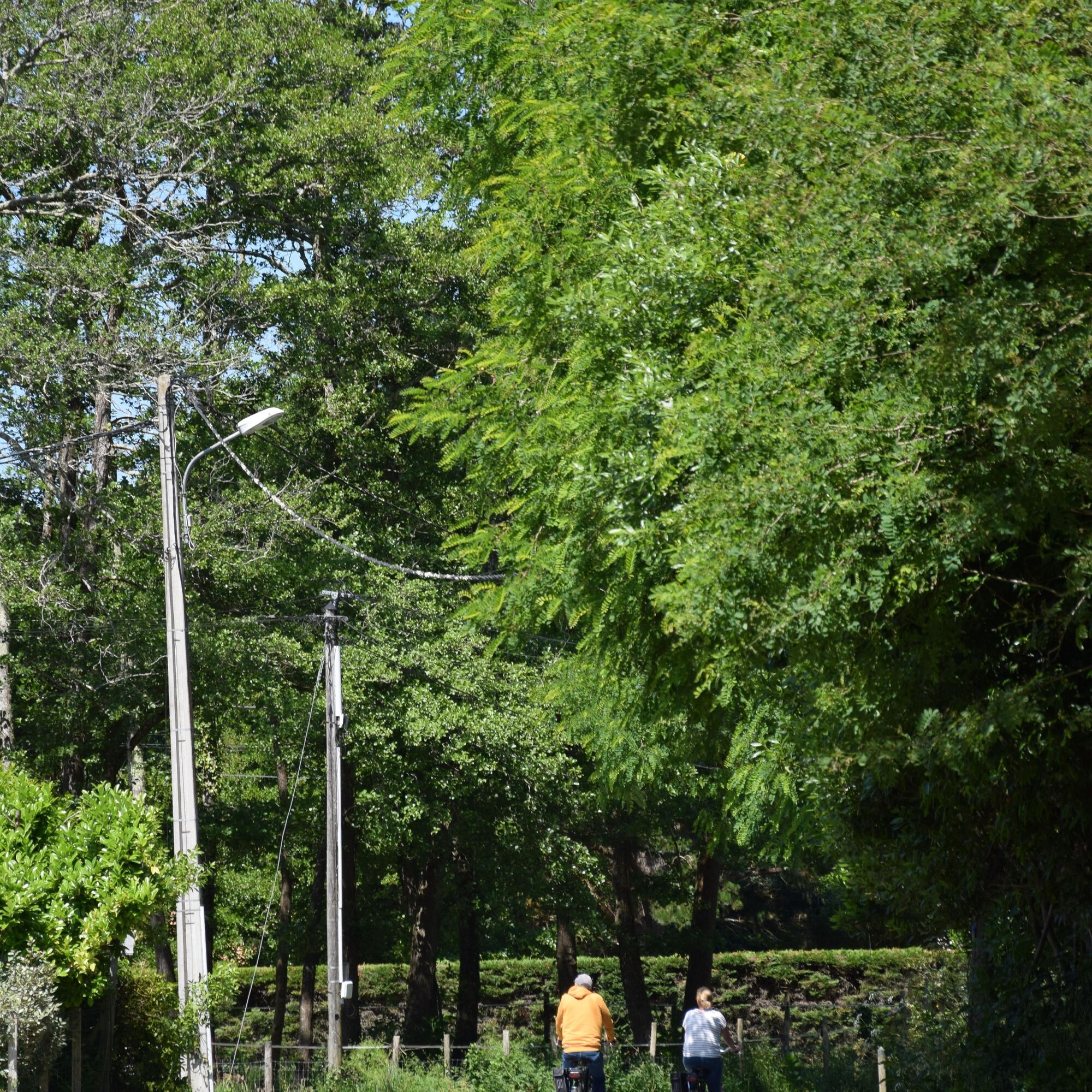
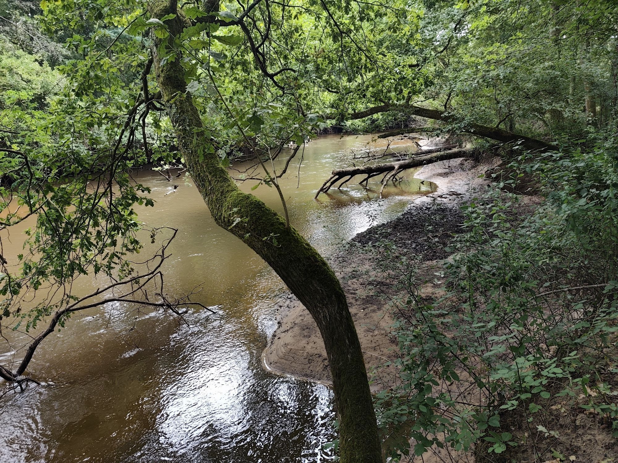
Fotografie našich používateľov

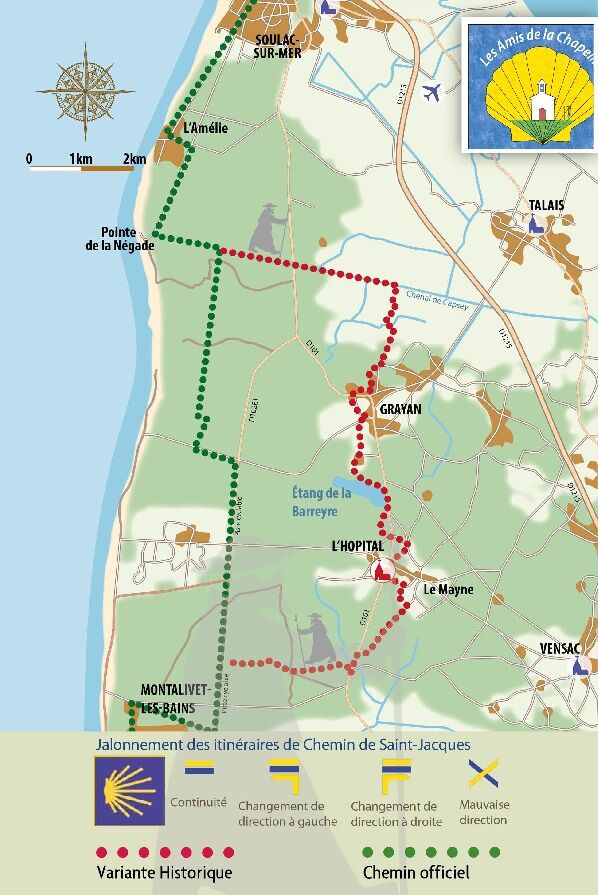
The "Variante de l'Hôpital", a historic section of the Soulac route, follows the route taken by the pilgrims of yesteryear in the Nord Médoc. Almost 1,000 years ago, thousands of pilgrims from northern...

Opis

The "Variante de l'Hôpital", a historic section of the Soulac route, follows the route taken by the pilgrims of yesteryear in the Nord Médoc. Almost 1,000 years ago, thousands of pilgrims from northern Europe landed at Soulac-sur-Mer on their way to Compostela, Rome or Jerusalem. After their devotions at Sainte-Véronique, they would head for the Hôpital de la Grayanès, where the Hospitallers of Saint-Jean-de-Jérusalem had founded a major commandery (the Order's 4th in France).
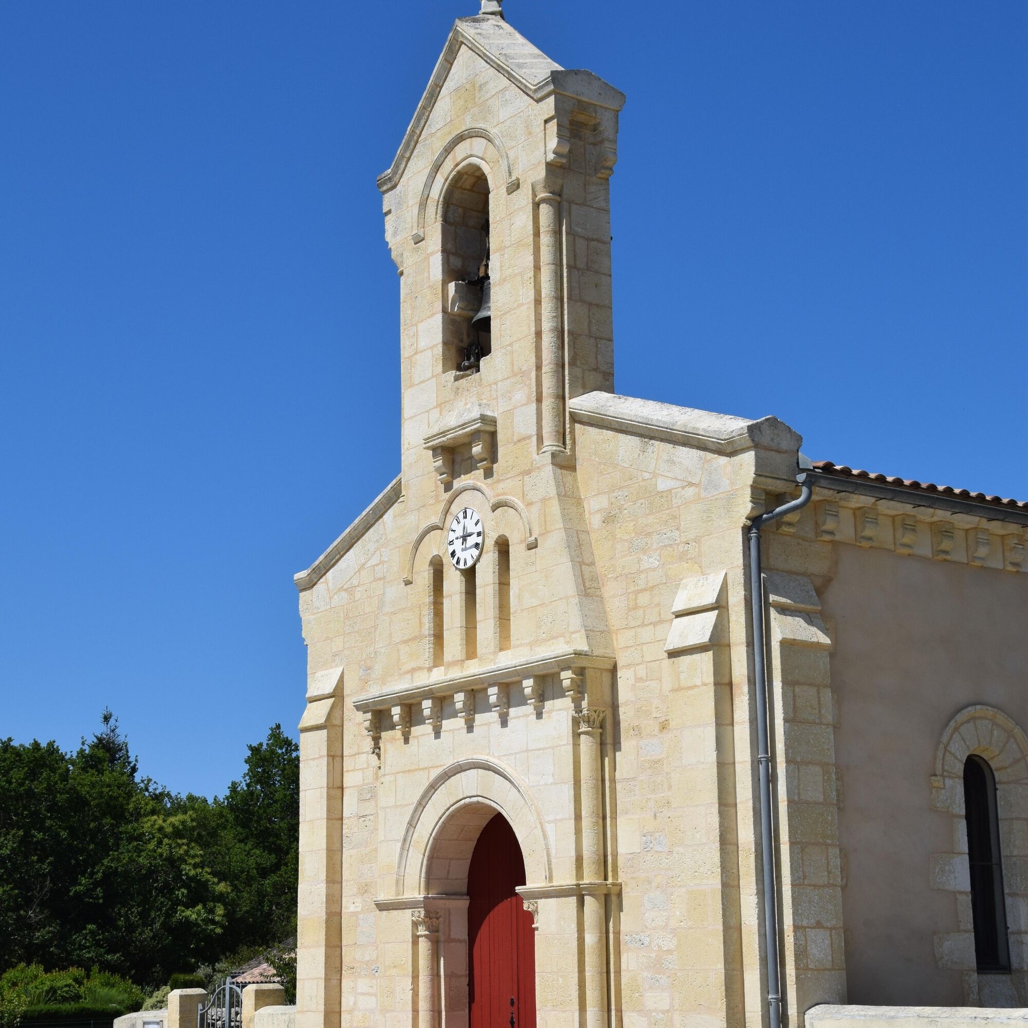
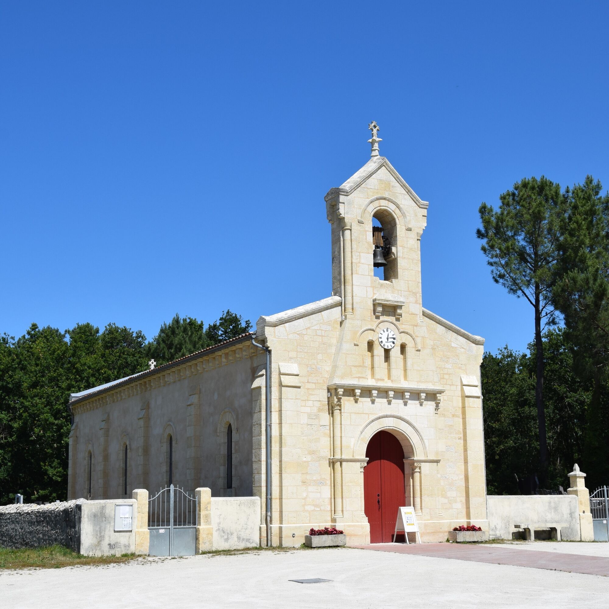
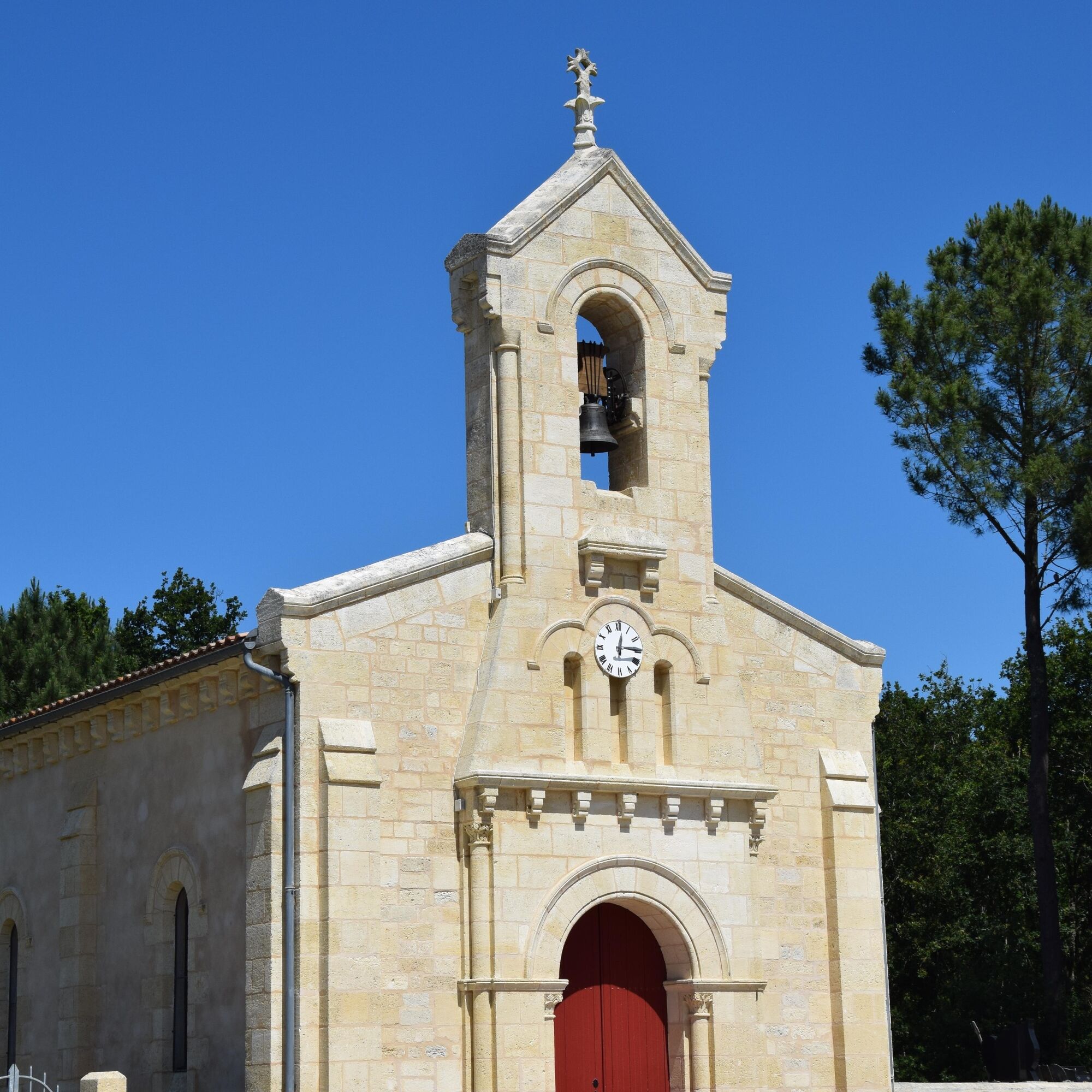
The chapel of Saint-Jean-Baptiste de L'Hôpital is the last witness to this.
Trasa
Chapelle de l'Amélie
(10 m)
Miesto uctievania
12,1 km
Chapelle Notre-Dame
(9 m)
Miesto uctievania
37,5 km
Chapelle de Contaut
(16 m)
Miesto uctievania
61,2 km
Église Saint-Seurin
(23 m)
Miesto uctievania
123,4 km
Église Saint-Éloi
(4 m)
Miesto uctievania
147,8 km
Résidence La Louisiane
(5 m)
Susedstvo
155,3 km
La Mothe
(3 m)
Zúčtovanie
175,9 km
Trasa
Mapa
Chemin de Saint-Jacques-Compostelle par la Chapelle Saint-Jean-Baptiste de l’Hôpital
stredná
Turistika
199,40 km
Bac Pointe de Grave-Royan
(3 m)
Prístavisko trajektu
0,1 km
La Pointe de Grave
(4 m)
Zúčtovanie
0,3 km
Les Huttes
(5 m)
Zúčtovanie
6,0 km
PGVS - Soulac Les Arros
(7 m)
Železničná stanica
7,0 km
Soulac-sur-Mer
(9 m)
Dedina
8,5 km
Le Signal
(9 m)
Koridor/terén
9,4 km
Restaurant des Pins
(9 m)
Reštaurácia
12,0 km
L'Amélie
(9 m)
Zúčtovanie
12,1 km
Chapelle de l'Amélie
(10 m)
Miesto uctievania
12,1 km
Vidau
(6 m)
Zúčtovanie
23,9 km
L'Hôpital
(11 m)
Susedstvo
27,6 km
Chapelle Saint-Jean
(11 m)
Miesto uctievania
27,7 km
Vensac Océan
(12 m)
Susedstvo
34,7 km
Les Colonies
(12 m)
Zúčtovanie
35,0 km
Montalivet-les-Bains
(11 m)
Susedstvo
35,6 km
Front de Mer
(10 m)
Susedstvo
37,0 km
Chapelle Notre-Dame
(9 m)
Miesto uctievania
37,5 km
Le Pin Sec
(12 m)
Zúčtovanie
51,3 km
Hourtin Plage
(13 m)
Zúčtovanie
56,6 km
Maison Forestière du Petit Mont Est et Ouest
(23 m)
Koridor/terén
60,5 km
Chapelle de Contaut
(16 m)
Miesto uctievania
61,2 km
Contaut
(16 m)
Zúčtovanie
61,3 km
Le Piqueyrot
(16 m)
Reštaurácia
63,3 km
Piqueyrot
(16 m)
Zúčtovanie
63,3 km
Bombannes
(19 m)
Susedstvo
77,6 km
Belvédère du Cousseau
(22 m)
Uhol pohľadu
88,3 km
Lacanau-Océan
(12 m)
Susedstvo
96,5 km
Carrefour du Lion
(7 m)
Koridor/terén
101,4 km
Manchets
(16 m)
Koridor/terén
104,4 km
Saucinon
(20 m)
Zúčtovanie
108,6 km
Lotissement Bernos
(16 m)
Zúčtovanie
109,8 km
Le Vignas
(20 m)
Zúčtovanie
121,2 km
Le Porge
(22 m)
Dedina
123,2 km
Église Saint-Seurin
(23 m)
Miesto uctievania
123,4 km
Les Badines
(6 m)
Zúčtovanie
138,0 km
Les Hauts du Bourgeon
(5 m)
Zúčtovanie
138,4 km
Arès
(5 m)
Dedina
143,4 km
Église Saint-Éloi
(4 m)
Miesto uctievania
147,8 km
Andernos-les-Bains
(9 m)
Mesto
148,8 km
Le Bétey
(3 m)
Zúčtovanie
149,6 km
Le Mauret
(4 m)
Zúčtovanie
151,4 km
Taussat-les-Bains
(7 m)
Susedstvo
152,5 km
Cassy
(6 m)
Susedstvo
155,1 km
Résidence La Palmeraie
(5 m)
Susedstvo
155,3 km
Résidence La Louisiane
(5 m)
Susedstvo
155,3 km
Pointe de Branne
(4 m)
Koridor/terén
160,9 km
Le Pavillon
(4 m)
Koridor/terén
162,6 km
Cabane du Pigeonney
(4 m)
Koridor/terén
165,7 km
Audenge
(5 m)
Dedina
166,0 km
Port des Tuiles
(3 m)
Zúčtovanie
170,9 km
Comprian
(4 m)
Zúčtovanie
171,3 km
Le Bruillau
(4 m)
Koridor/terén
173,2 km
La Mothe
(3 m)
Zúčtovanie
175,9 km
Martinot
(29 m)
Zúčtovanie
194,9 km
Larrat
(29 m)
Zúčtovanie
195,1 km
Bernon
(30 m)
Zúčtovanie
195,3 km
Caton
(25 m)
Koridor/terén
198,0 km
La Paillote Ha-Lô
(24 m)
Reštaurácia
198,1 km
Aire de Jeux des Eaux qui Rient
(22 m)
Detské ihrisko
199,3 km
Sanguinet
(24 m)
Dedina
199,3 km
Informácie o prehliadke
Technológia
n.a.
Stav
3 / 6
Krajina
n.a.
Skúsenosti
5 / 6
Prístupné po celý rok
Jan
Feb
Mar
Apr
Máj
Jún
Júl
Aug
Sep
Okt
Nov
Dec
Zdieľať prehliadku
Mapa
Chemin de Saint-Jacques-Compostelle par la Chapelle Saint-Jean-Baptiste de l’Hôpital
stredná
Turistika
199,40 km
Chyba
Vyskytla sa chyba. Prosím, skúste to znova.
Turistika a stopovanie

Turistika a stopovanie

Turistika a stopovanie
Viac ako 550.000 návrhov výletov, podrobné mapy a intuitívny plánovač trás robia z aplikácie povinnú výbavu pre všetkých nadšencov prírody.
bergfex