







Boucle de Cazoules

Úroveň náročnosti: T1
By taking a little height, enjoy beautiful panoramas on the Valley of the Dordogne from Cazoulès, village bordering the department of the Lot. You will also walk along the river and a dead arm, locally...
The topoguide containing the route of this hike is available for purchase in our tourist offices in Carlux and Salignac.

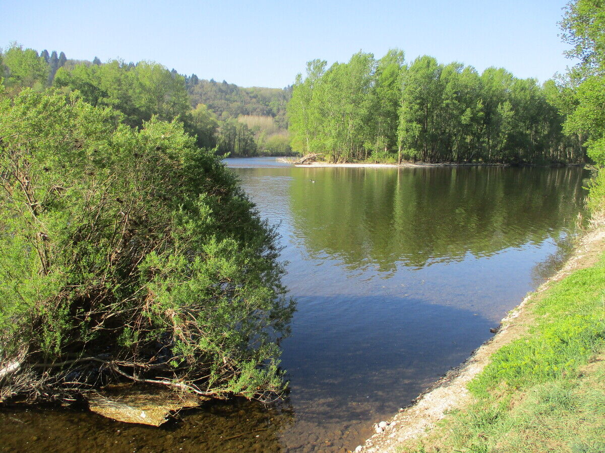
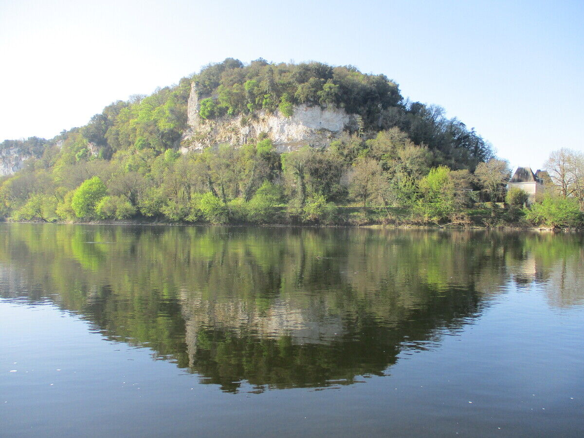
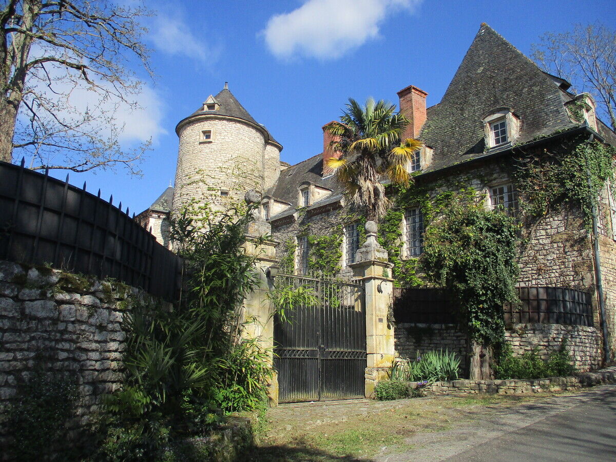

Shoes suitable for walking, water, a cap or hat, and clothing appropriate for the weather.
Before setting out, check the weather forecast and make sure you’re properly equipped. Bring plenty of water, appropriate footwear, and a fully charged phone. Stay on the marked trails and adjust your route to suit your fitness level.
Con i mezzi pubblici, raggiungere le stazioni di Sarlat o Souillac, quindi prendere le linee regionali 335 o 336 della Nuova Aquitania, a seconda della disponibilità dei collegamenti. La maggior parte degli itinerari escursionistici si trova in zone rurali; l’accesso con l’auto privata rimane spesso la soluzione più pratica.
Parking nearby
T1
Dordogne-Périgord le Département
Obľúbené výlety v okolí
-
Boucle de Montfort
svetloTuristika 7,85 km -
Boucle La Salamandre
svetloTuristika 5,57 km -
Boucle de Montfort
svetloMountainbike 7,85 km -
5,0
Jardins et villages du Sarladais
ťažkéCyklistika 53,1 km -
Boucle du Paluel
strednáTuristika 10,3 km -
Chemin des meuniers - L'Inval
svetloTuristika 7,65 km -
Carlux en écomobilité - Plein les yeux à la gare Doisneau
svetloCyklistika 16,8 km -
Boucle des Bernardies à Simeyrols
ťažkéTuristika 8,36 km -
Autour des produits laitiers à Sainte Nathalène
strednáTuristika 17,7 km -
Boucle de Carlux
svetloTuristika 5,54 km
Turistika a stopovanie


Nenechajte si ujsť ponuky a inšpiráciu na ďalšiu dovolenku
Vaša e-mailová adresa bol pridaný do poštového zoznamu.





