


Boucle de Veyrignac


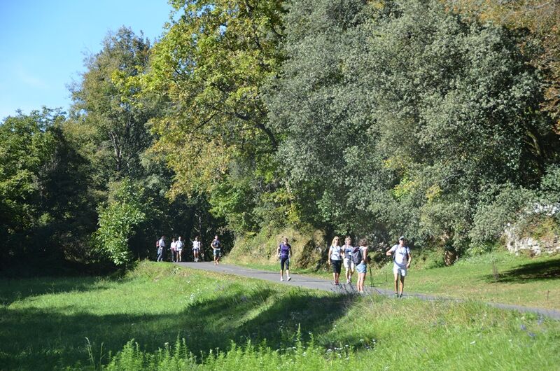
You will begin the hike by the village of Veyrignac, typical village of the Périgord Noir. Your route will be marked out by beautiful stone buildings: fountain, stone hut, mills...
From the call sign located...
You will begin the hike by the village of Veyrignac, typical village of the Périgord Noir. Your route will be marked out by beautiful stone buildings: fountain, stone hut, mills...
From the call sign located on the municipal parking lot, join the road and go left in the direction of "Château de Fénelon". After 30m, at the crossroads, take the small road on the left. 100m further, at the gate of a large property, turn right and follow the stone wall. After about 50m, turn right towards the church, then the communal oven. At the end of the village, leave the road and take a grassy path on the right that goes down to a fountain.
The topoguide containing the route of this hike is available for purchase in our tourist offices in Carlux and Salignac.

Áno
Dordogne-Périgord le Département
Yellow
Obľúbené výlety v okolí
-
Trail de la Vallée
strednáTrailrunning 14,9 km -
La Roque-Gageac - Vitrac, Frankreich
svetloTuristika 6,17 km -
Vitrac - La Roque Gageac, Frankreich
svetloTuristika 7,93 km -
Vitrac - La Roque Gageac, Frankreich
svetloTuristika 7,93 km -
Von Castelnaud nach Beynac, Frankreich
svetloTuristika 4,04 km -
Von Domme nach Castelnaud, Frankreich
svetloTuristika 8,33 km -
Boucle La Salamandre
svetloTuristika 5,57 km -
Boucle de Montfort
svetloTuristika 7,85 km -
Boucle des Gabarres
svetloTuristika 3,25 km -
Boucle des Cygnes Noirs
strednáTuristika 2,72 km
Turistika a stopovanie


Nenechajte si ujsť ponuky a inšpiráciu na ďalšiu dovolenku
Vaša e-mailová adresa bol pridaný do poštového zoznamu.