







Boucle d'Orliaguet

Úroveň náročnosti: T1
Near Sarlat-la-Canéda in the heart of the Périgord Noir and Souillac in the Lot Quercy valley, the village of Orliaguet is a place for contemplation and relaxation. You will cross large wooded areas, with...
From the signpost at the town hall parking lot, join the road and go down to the intersection with the main road. Turn right, go through the village and at the last house turn left towards "Le Pech"
The topoguide containing the route of this hike is available for purchase in our tourist offices in Carlux and Salignac.

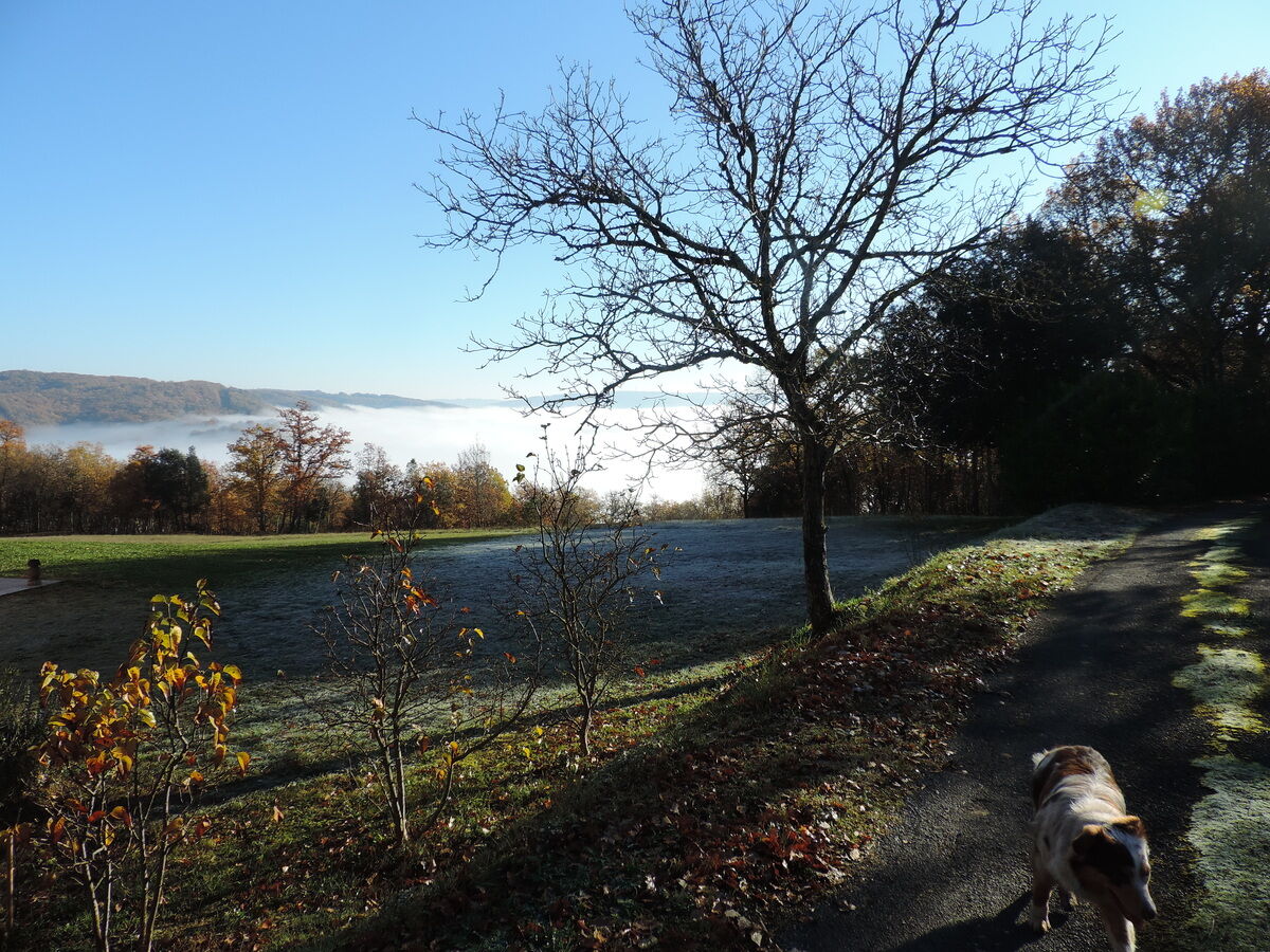
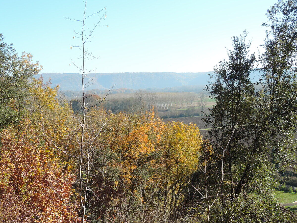
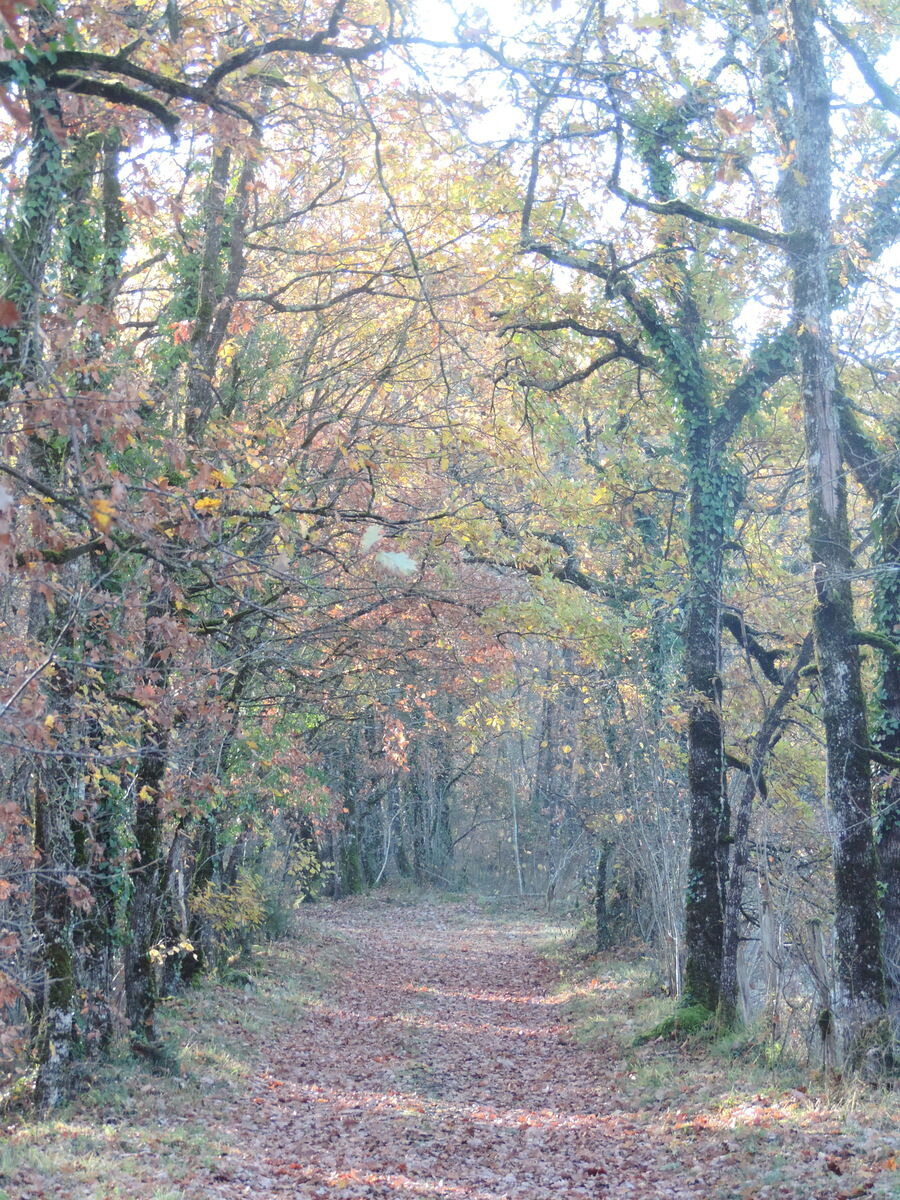

Shoes suitable for walking, water, a cap or hat, and clothing appropriate for the weather.
Before setting out, check the weather forecast and make sure you’re properly equipped. Bring plenty of water, appropriate footwear, and a fully charged phone. Stay on the marked trails and adjust your route to suit your fitness level.
Access is via the local and municipal roads in the area. The hike starts in a rural area; follow the local signs to the indicated starting point.
Con i mezzi pubblici, raggiungere le stazioni di Sarlat o Souillac, quindi prendere le linee regionali 335 o 336 della Nuova Aquitania, a seconda dei collegamenti disponibili. La maggior parte degli itinerari escursionistici si trova in zone rurali; l’accesso con l’auto privata rimane spesso la soluzione più pratica e da privilegiare.
Parking nearby
T1
Dordogne-Périgord le Département
Obľúbené výlety v okolí
-
Boucle de Montfort
svetloTuristika 7,85 km -
Boucle La Salamandre
svetloTuristika 5,57 km -
Boucle de Montfort
svetloMountainbike 7,85 km -
5,0
Jardins et villages du Sarladais
ťažkéCyklistika 53,1 km -
Boucle du Paluel
strednáTuristika 10,3 km -
Chemin des meuniers - L'Inval
svetloTuristika 7,65 km -
Carlux en écomobilité - Plein les yeux à la gare Doisneau
svetloCyklistika 16,8 km -
Boucle des Bernardies à Simeyrols
ťažkéTuristika 8,36 km -
Autour des produits laitiers à Sainte Nathalène
strednáTuristika 17,7 km -
Boucle de Carlux
svetloTuristika 5,54 km
Turistika a stopovanie


Nenechajte si ujsť ponuky a inšpiráciu na ďalšiu dovolenku
Vaša e-mailová adresa bol pridaný do poštového zoznamu.





