


Donausteig stage 1_S02 Kasten - Engelhartszell: “Summit assault - to the roof of the Donausteig!”


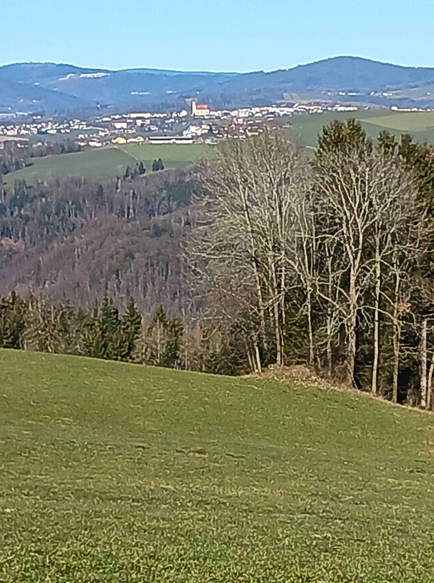
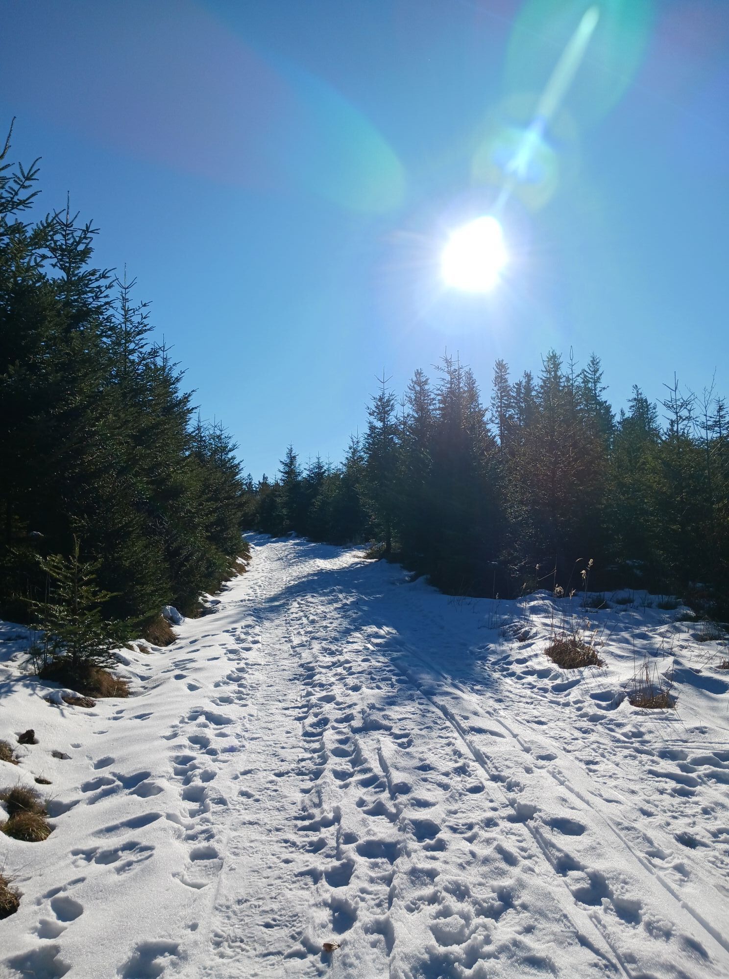
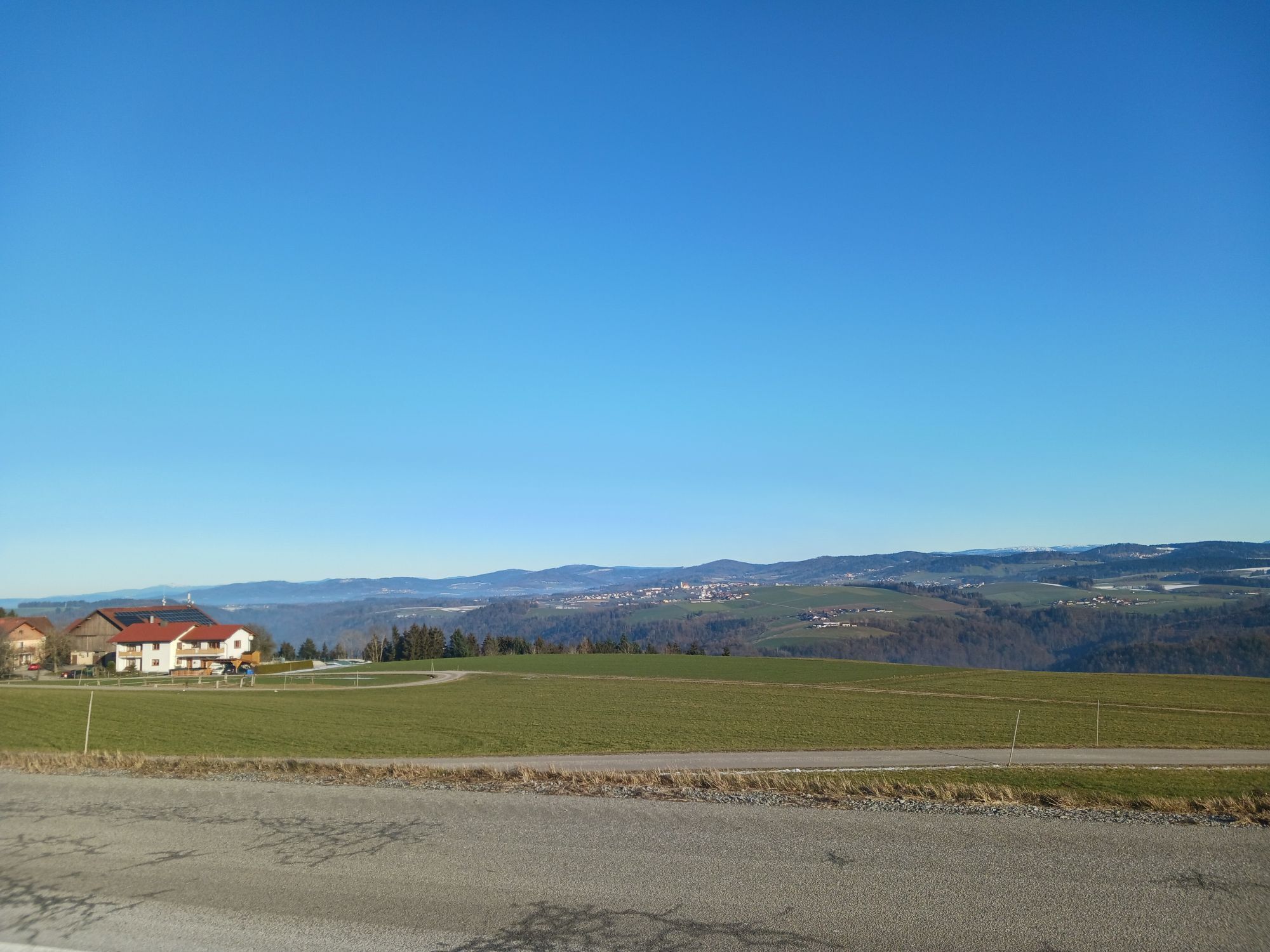
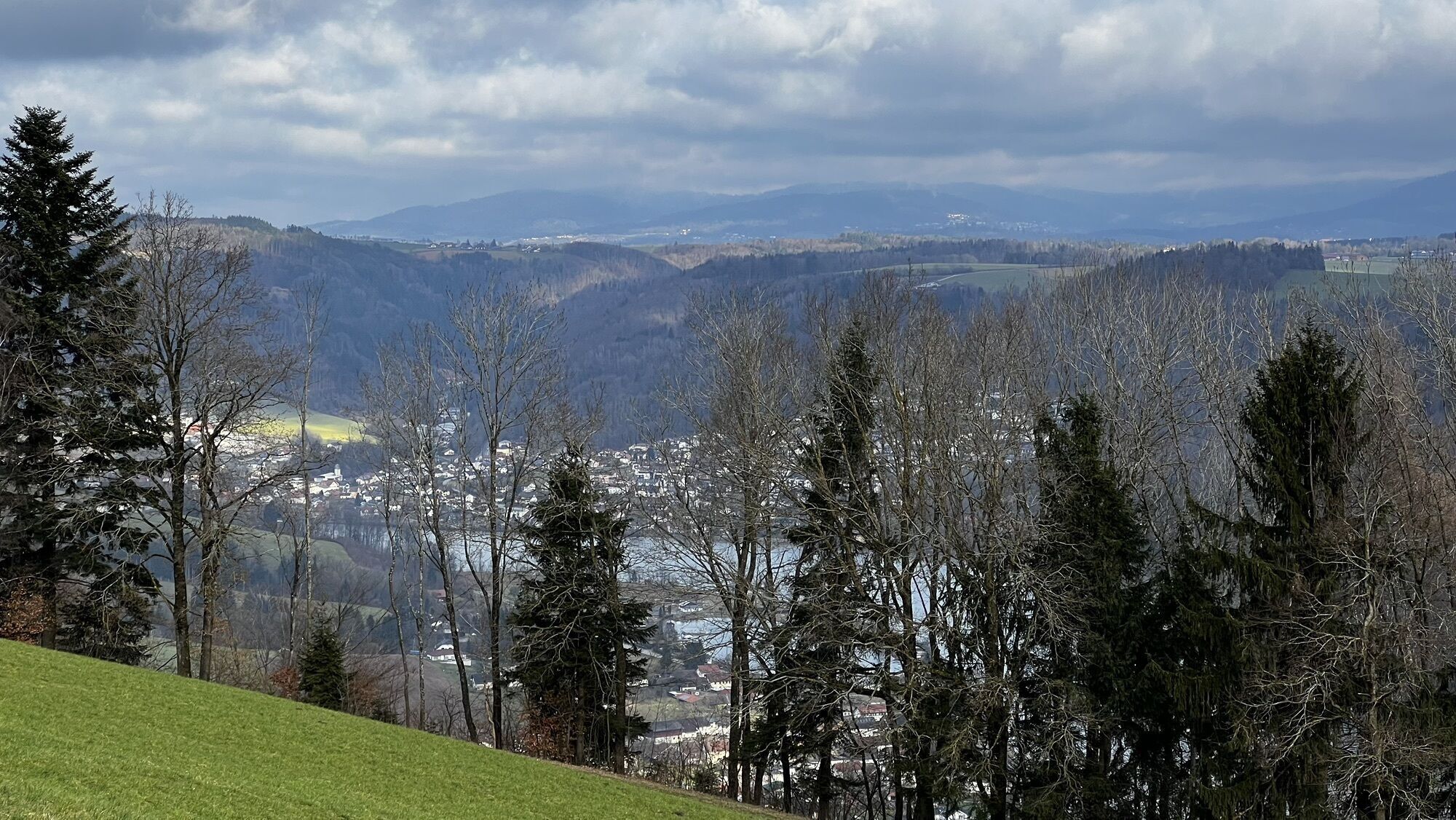
Fotografie našich používateľov
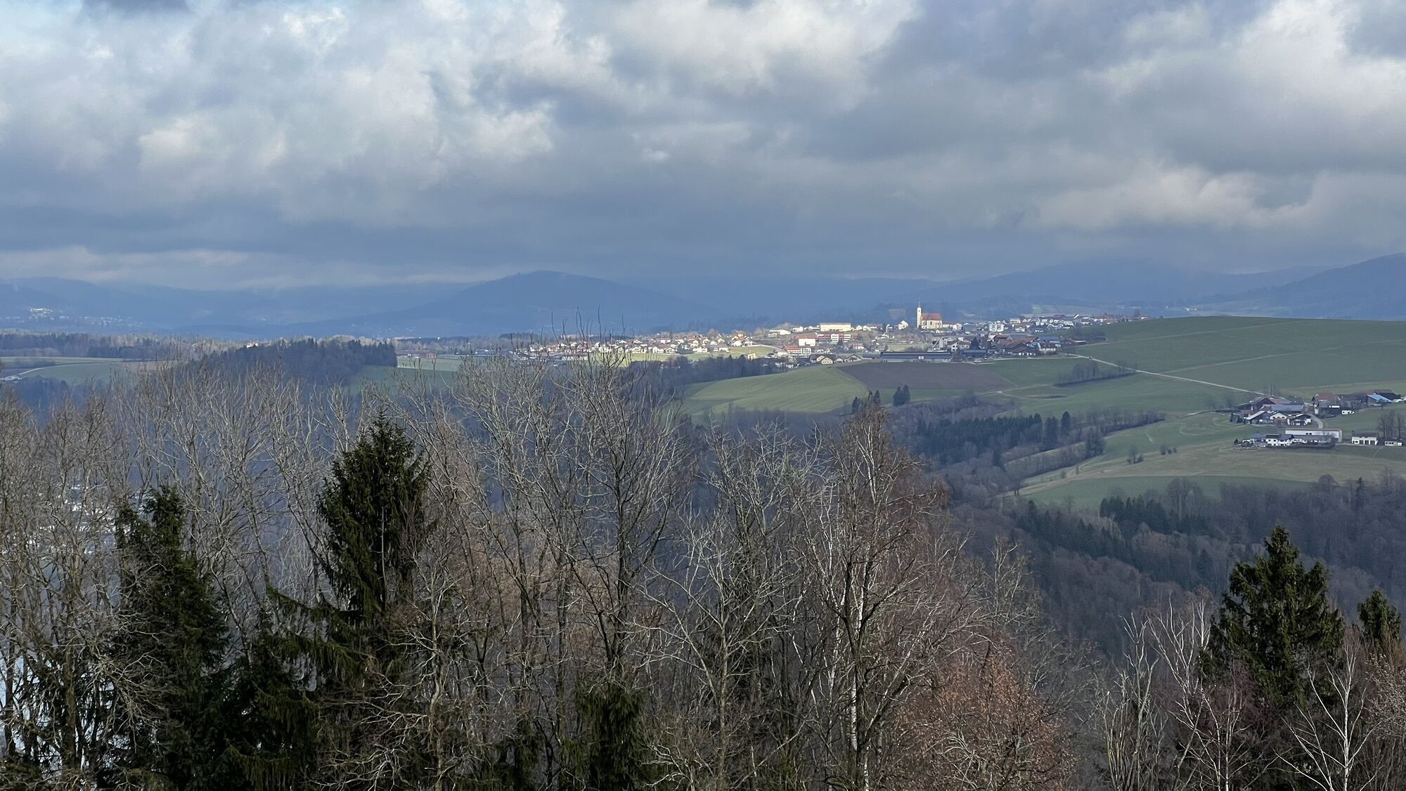
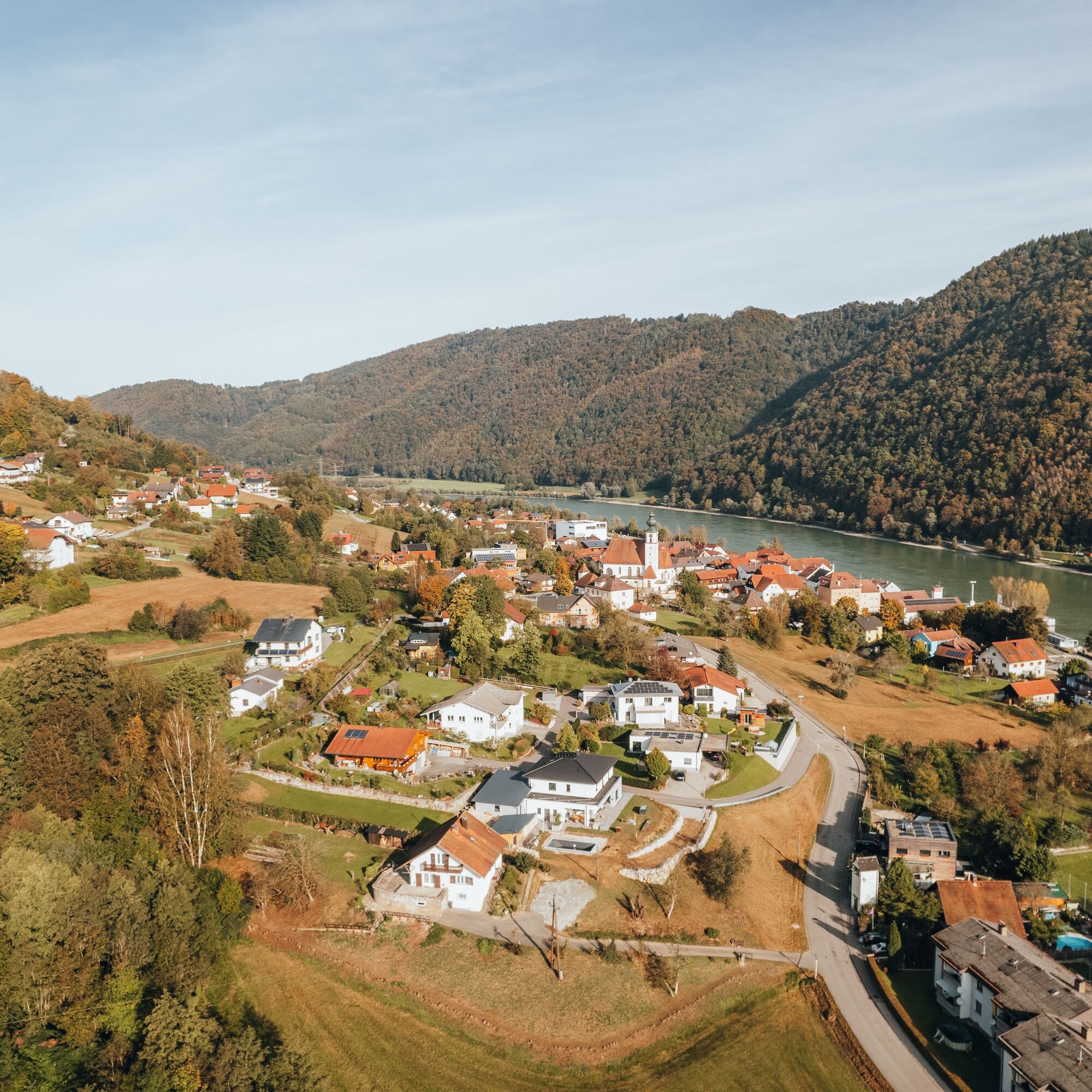
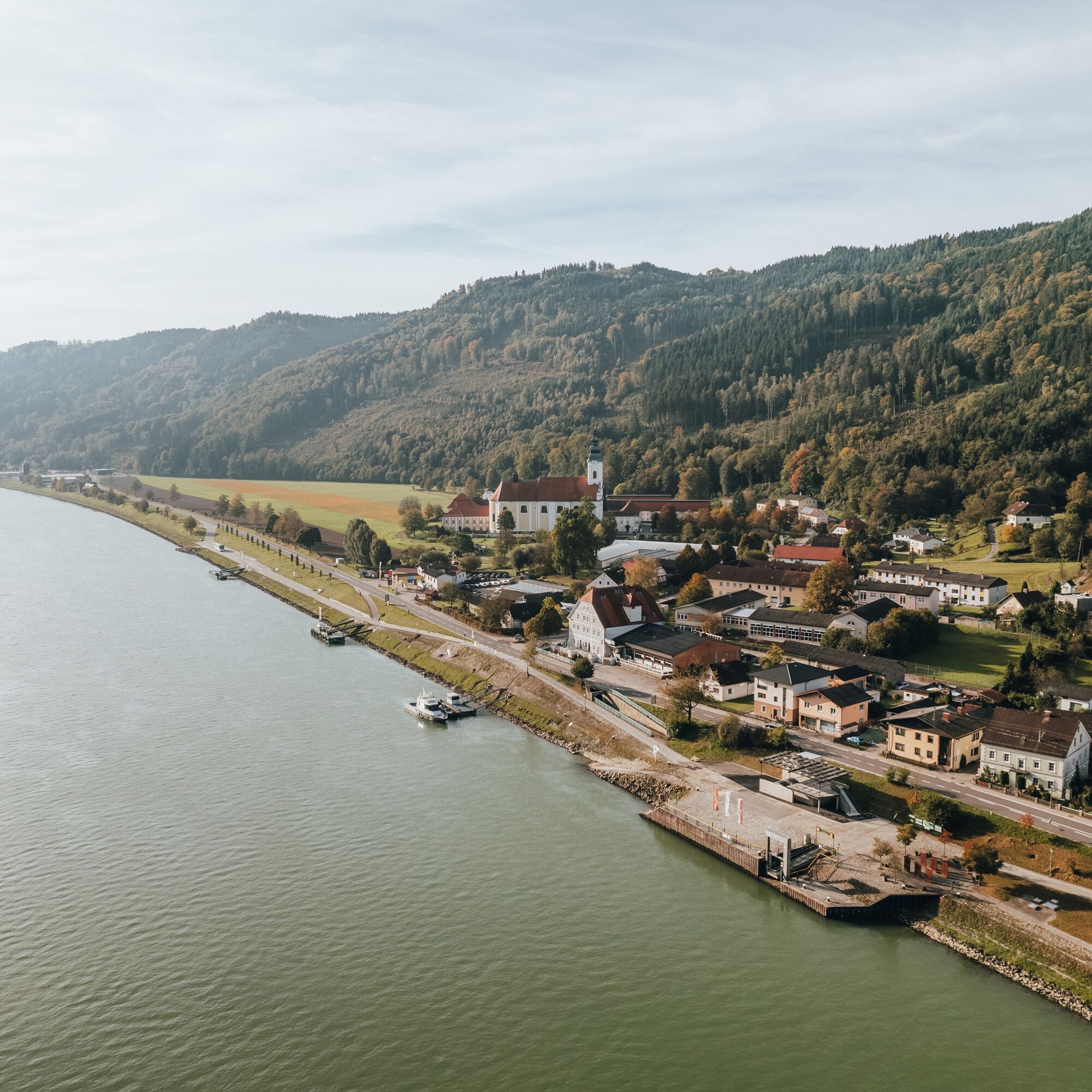
The starting point for this Donausteig stage is Kasten. The historic Danube town is nestled in the breakthrough valley of the upper Danube on the Austrian side. The special character of this small town...
The starting point for this Donausteig stage is Kasten. The historic Danube town is nestled in the breakthrough valley of the upper Danube on the Austrian side. The special character of this small town only becomes apparent with knowledge of its history – a place to be discovered! Our summit assault starts directly in Kasten. After a short section on the road, we hike on an idyllic footpath along a meadow grove up to the Donausteig rest area “Rotes Kreuz” just above Kasten. Here you get a beautiful view downstream along the Danube towards the Jochenstein power plant. Then begins the steep forest of the Danube slopes, through which the old school path leads us up to Vichtenstein. In the village center high above the Danube, a viewing platform fascinates with a magnificent view over the Danube valley far into the Bavarian Forest and the Bohemian Forest – a highlight! Moreover, the beautiful parish church and Vichtenstein Castle offer exciting insights into the region's history. At the edge of town, we cross the legendary Devil’s Creek and hike after a short forest section over pastoral meadows with a nice view into Bavaria, comfortably uphill. Then we dive into the “eternal” forests of the Sauwald. A forest path now leads to the Donausteig rest area “Teich,” an oasis in the middle of the mountain forest. After a short road section follows the oldest forest section: wonderful mixed forest, old dry stone walls, overgrown forest pastures... pure Sauwald! On a lovely forest path, we hike delightfully upward through this idyll. At the settlement of Unterweinbrunn we briefly reach the street again. Then we continue steeply uphill through the forest on a terrain step. The gentle meadows around the Haugstein lodge allow you to breathe freely and permit wide views into the highest regions of the Bavarian and Bohemian Forests. Then begins the atmospheric summit forest. Via a forest road we reach the legendary Jagabild Chapel at the saddle of the Haugstein. A detour takes us on a wonderful hiking trail to the mystical forest summit of the Haugstein. Congratulations – here we stand on the highest summit of the entire Donausteig! The descent leads along an idyllic Way of the Cross through the summit forest down to Stadl, the highest village of the Innviertel. From there, the Donausteig first follows a farm road almost flat through the forest, then it runs downhill via forest paths to the Donausteig rest area “Border View Bavaria-Austria” at the forest edge on a terrain terrace above the Danube. Lush meadows, small fields, and old farmhouses here testify to rural industriousness and land development. Shortly thereafter, we again immerse in the steep forests of the Danube slopes. Via forest roads, we quickly go down into the secluded Leitenbach valley, then cross the Danube slopes on an atmospheric hiking trail and finally reach Engelhartszell. Over the roof of the Donausteig – simply amazing!
Discover the following special features with the Donausteig diary:
- Kasten toll & salt
- Donausteig start point “Kasten”
- The rafting and its non-swimmers
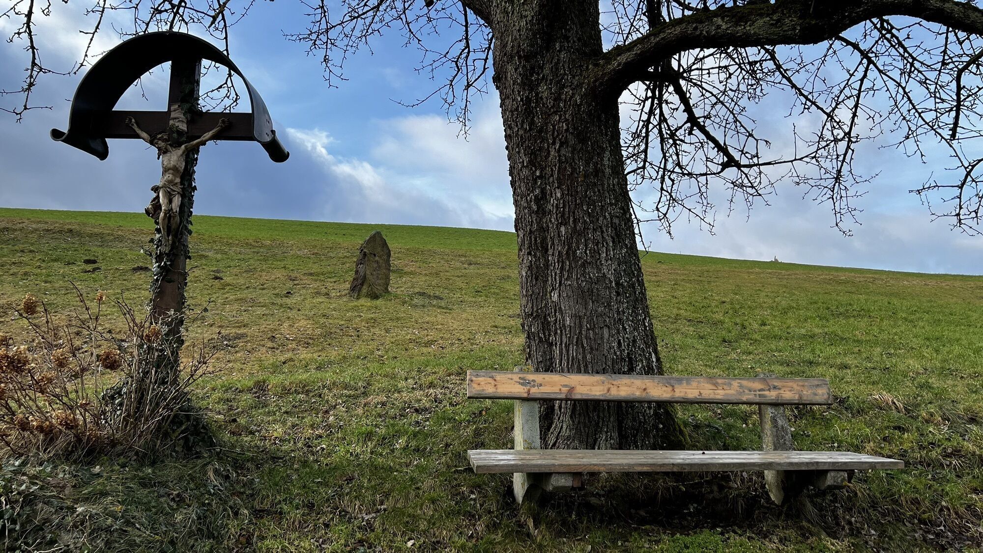
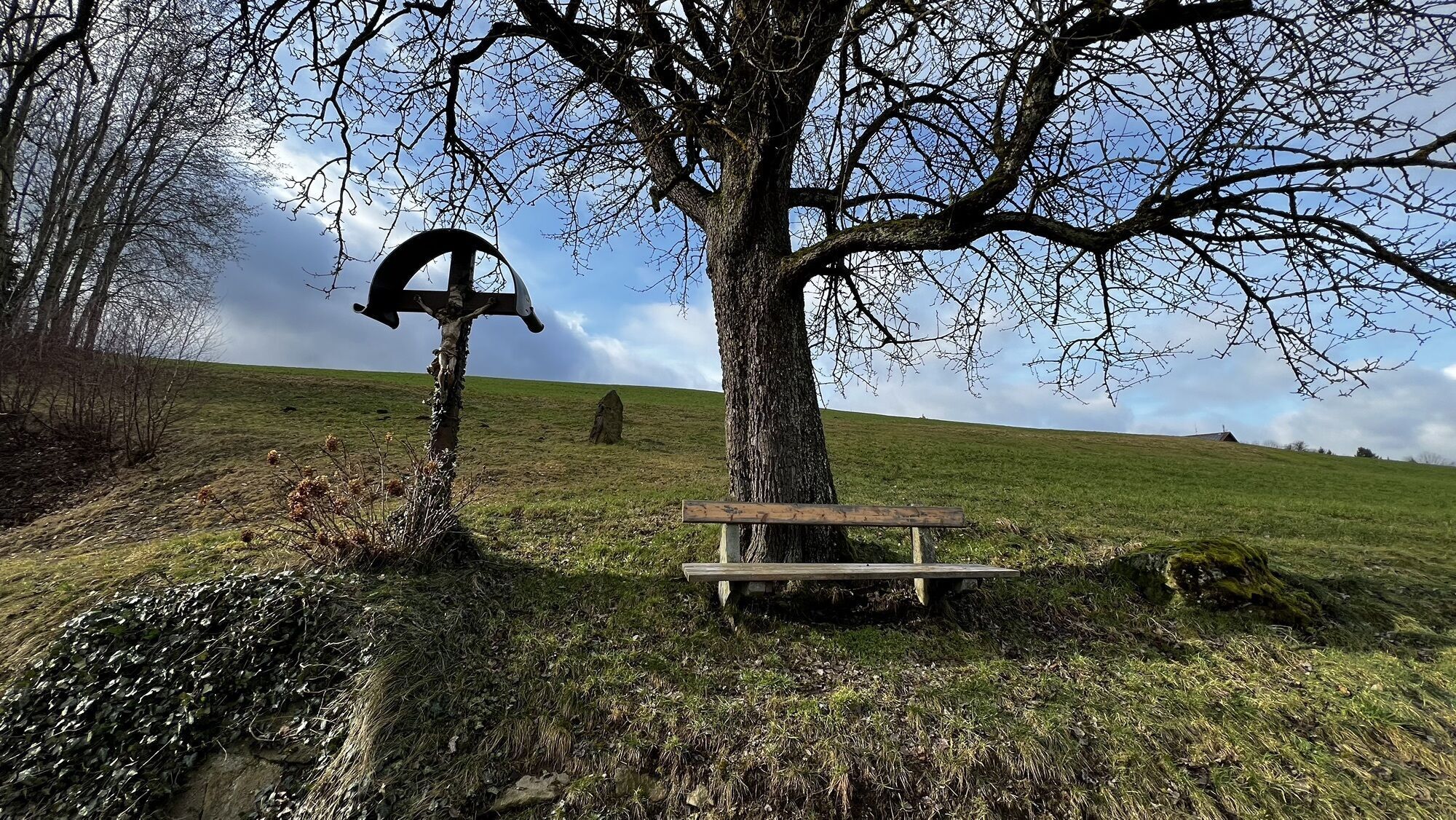
- Red Cross - an old path
- Donausteig rest area “Rotes Kreuz”
- Donausteig start point “Vichtenstein”
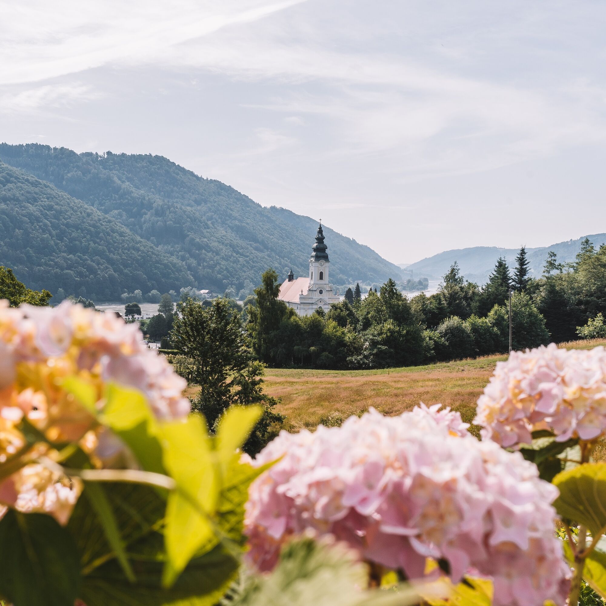
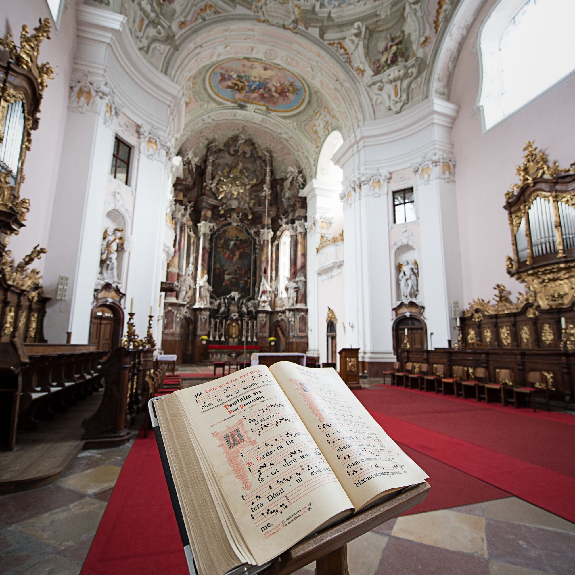
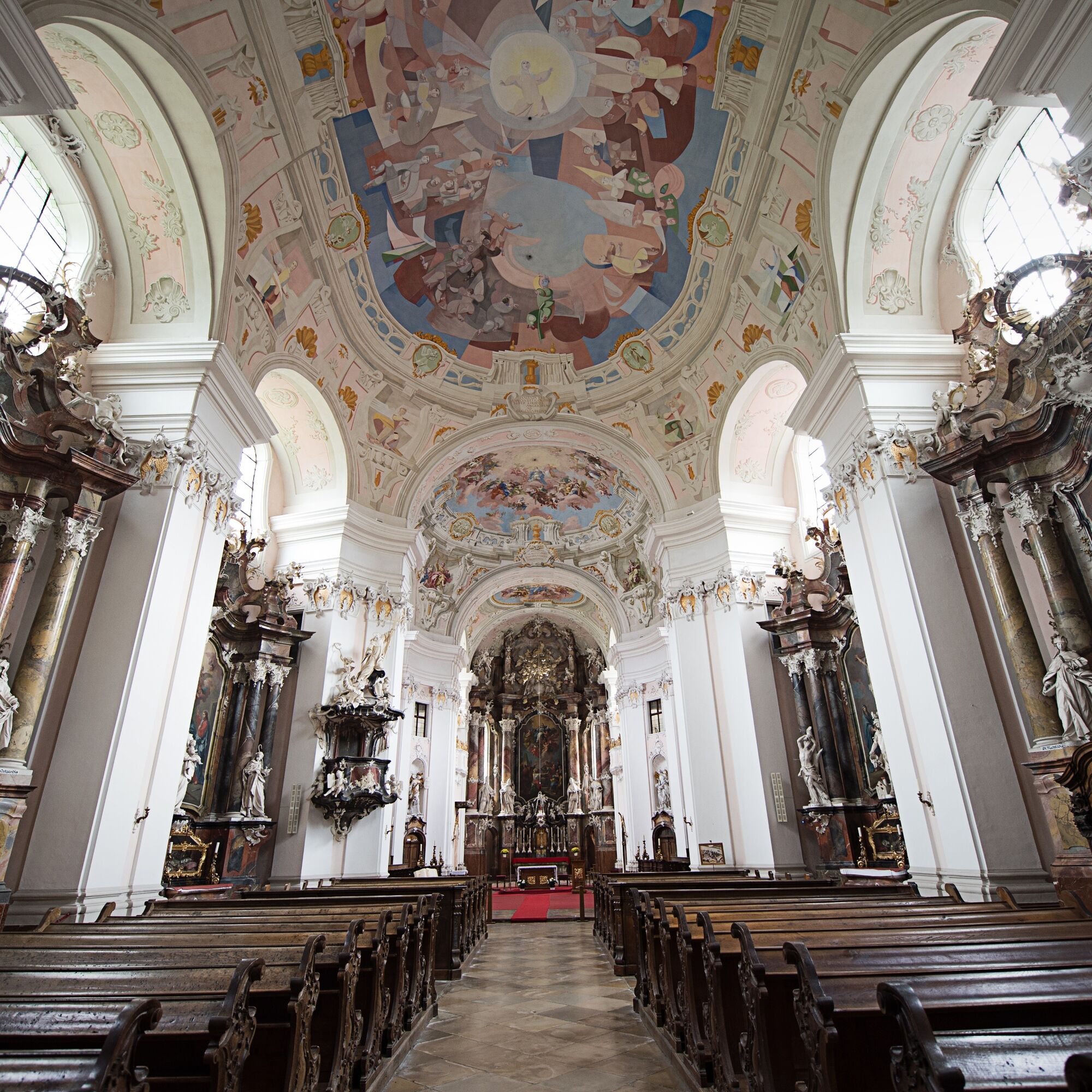
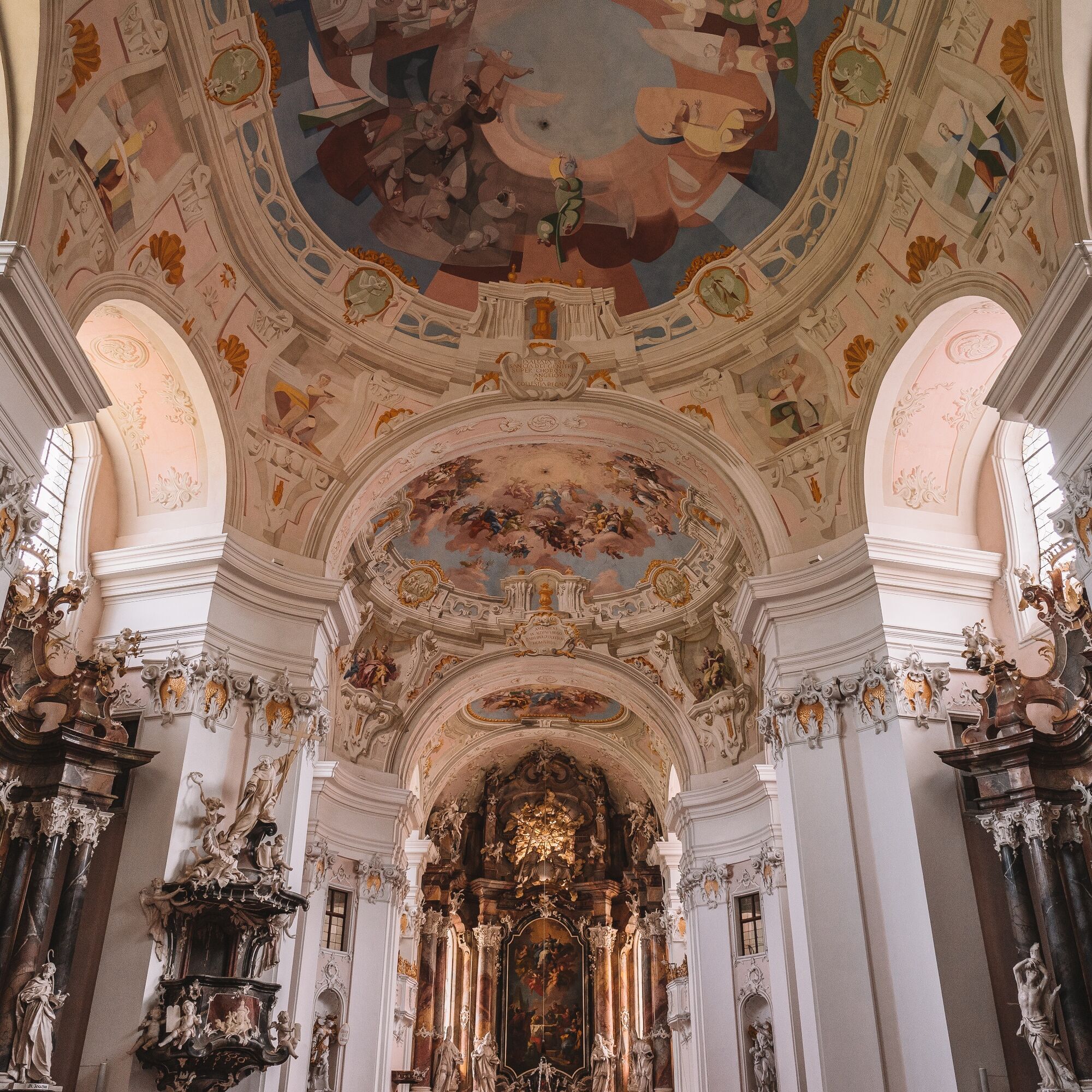
- Parish church Vichtenstein and its wondrous housemother
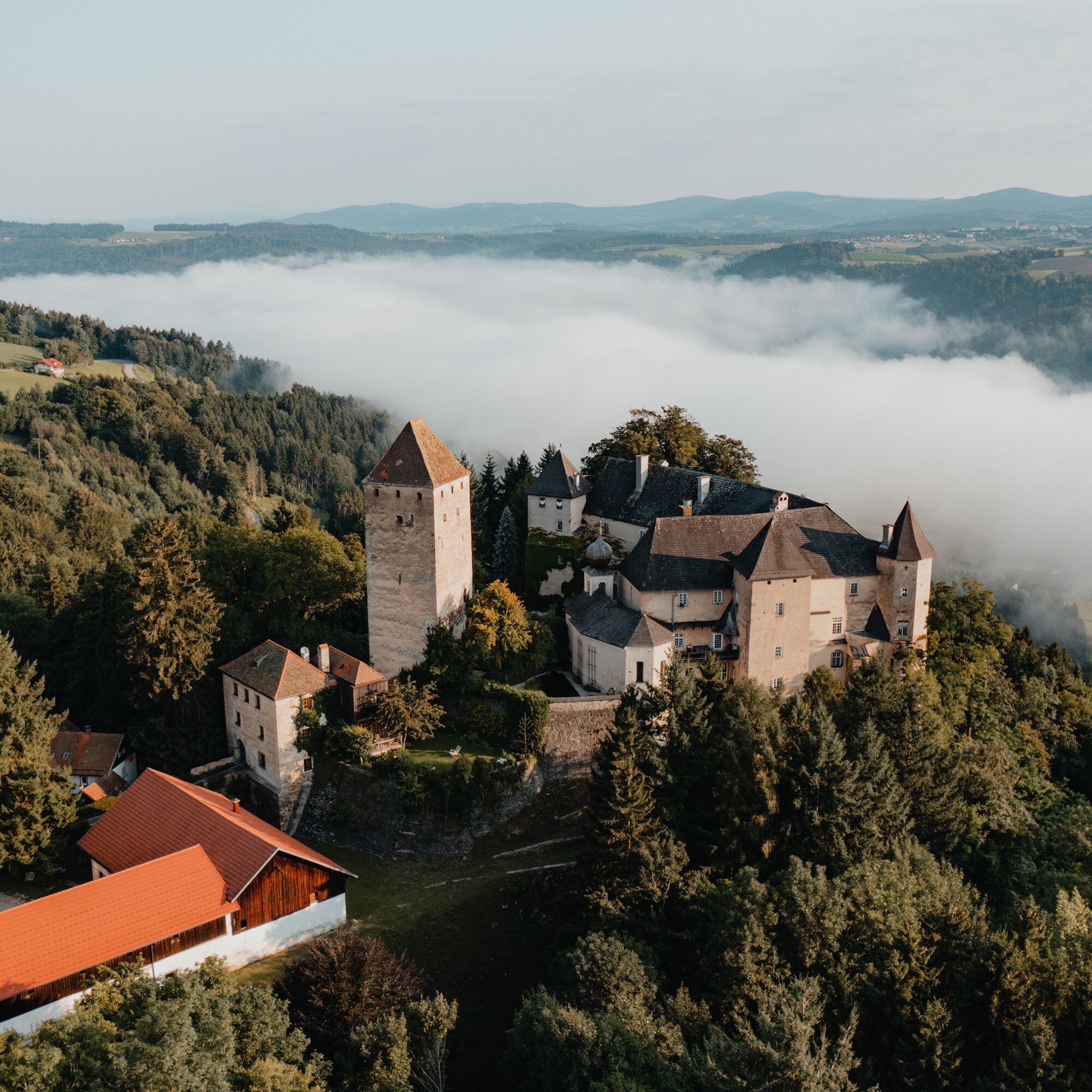
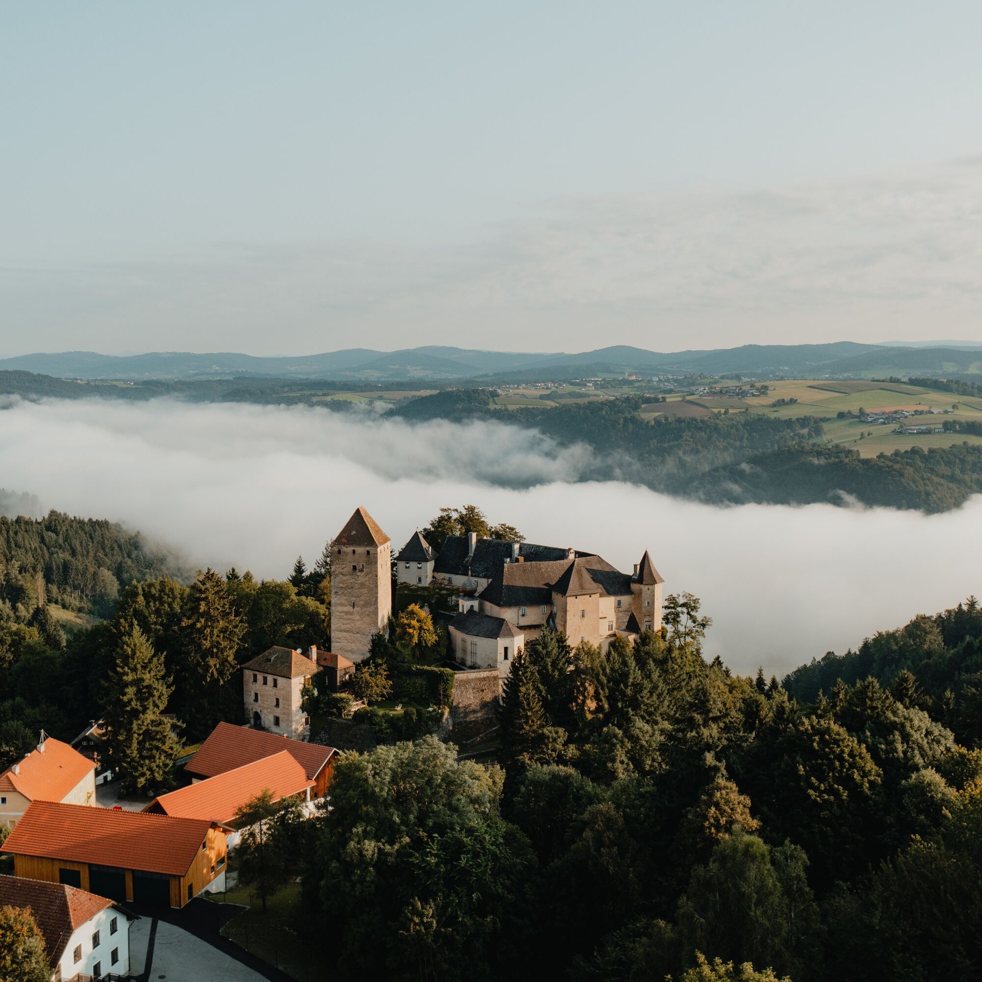
- Vichtenstein Castle - of feuds and the bishop's victory
- ...
Download: Donausteig diary stage 1_S02 Kasten-Engelhartszell
From the Donausteig start point “Kasten”, we go a few meters upstream on Nibelungenstraße and then follow the road left to Vichtenstein. In a tight left curve, the Donausteig turns right. Now mostly forest paths quickly lead uphill. After the Donausteig rest area “Rotes Kreuz”, we cross the serpentine road three times. Upon arriving in Vichtenstein, continue left on the road into the village center to the Donausteig start point “Vichtenstein”. Afterwards, the crossroads in front of the church allows a short detour straight ahead to the parish church of Vichtenstein. However, the Donausteig goes left downhill here. Shortly after, on the left is the possibility for a short detour to Vichtenstein Castle. At the end of the road, we cross the Devil’s Creek. Now a farm road initially through forest, later over meadows in a wide right curve leads uphill. At the intersection after the farm, turn left into the forest. About 400 m further, we leave the forest road to the right and cross over the Donausteig rest area “Teich” up to the asphalt road. Follow this initially to the left for about 400 m, then right uphill on the forest path. In Unterweinbrunn, we reach the asphalt road again and turn uphill at the next crossroads. Then, at the second bend, turn right on the forest path. Shortly after comes an asphalt road, which leads left over meadows to the Haugstein lodge. At the forest edge, the road changes into a forest path on which we hike up to the Jagabild Chapel at the saddle of the Haugstein. A short detour to the right is worthwhile to the Haugstein. The descent leads to Stadl along a Way of the Cross. There, after the church, the road goes left downhill and at the cemetery immediately left again. Now we follow the asphalted farm road almost flat past Zigeunerbrunn to a sharp left curve. Here right. Via forest paths it goes downhill to the Donausteig rest area “Border View Bavaria-Austria” on the rural terrain terrace of Berg. On the asphalt road, a short right and immediately left down the farm road “Maierhof.” From Kollergut, we hike slightly diagonally down the meadow, then a winding forest road leads down into the Leitenbach valley to a footbridge. There, going straight ahead, the parking lot of the Jochenstein power plant can be reached. However, we cross the creek and hike on a nearly level forest path to the edge of Engelhartszell. Now left over the meadow down to Berndoblstraße. On this street, continue right until a footpath leads left downhill to Brunngasse. There, right to Sauwaldstraße, which leads us downhill to the Donausteig start point “Engelhartszell”.
To make orientation easier for you, the Donausteig has been equipped with its own orientation system – description can be found here .
Áno
Áno
In addition to your personal hiking equipment, there are no special requirements.
The starting point of this stage is located directly on Nibelungenstraße by the ship landing stage “Kasten,” about 150 m north of the church (GPS: A‑4091 Vichtenstein, Kasten 15).
Kasten can basically be reached by bus. A return transfer from Engelhartszell by bus is also possible. But beware: direct connections are very sparse! Information about the timetables can be found at http://www.ooevv.at .
Directly opposite the ship landing stage is a public parking lot. You can park there free of charge and without time limit.
WGD Donau Oberösterreich Tourismus GmbH
Lindengasse 9
4040 Linz, Austria
Tel. +43(0)732/7277-888
Fax: +43(0)732/7277-804
info@donausteig.com
Municipal office Vichtenstein
4091 Vichtenstein 70
Tel.: +43(0)7714/8055
Fax: +43(0)7714/8056
gemeinde@vichtenstein.ooe.gv.at
www.oberoesterreich.at/vichtenstein
Market town office Engelhartszell
Marktpl. 61
4090 Engelhartszell
Tel.: +43(0)7717/8055-16
Fax: +43(0)7717/8055-22
tourismus@engelhartszell.ooe.gv.at
www.engelhartszell.at
www.stift-engelszell.at
The Danube market in Engelhartszell is a little treasure chest – be sure to plan time for the visit!
Webové kamery z prehliadky
Obľúbené výlety v okolí
-
3,7
Waldkirchen: 4/4 View Round | Large Danube Resonance Path Round
strednáTuristika 12,9 km -
4,7
Donauschlinge Schlögen
Turistika 15,2 km -
4,7
Hofkirchen: Waterfall round
strednáTuristika 8,43 km -
5,0
Ranna-Stausee
svetloTuristika 12,2 km -
4,0
Panoramaweg
svetloTuristika 7,53 km -
5,0
Kneipp,- Fitnessweg im Rannatal
svetloTuristika 3,79 km -
4,0
R1.05 Sauwald Panorama Route
strednáCyklistika 57,8 km -
5,0
Rannastausee
svetloTuristika 9,03 km -
3,5
Esternberg: Kößlbachrunde
svetloTuristika 15,8 km -
3,0
Dunajská cyklocesta, 1. etapa, severný breh: Passau - Schlögen
svetloDiaľková cyklotrasa 40,8 km
Turistika a stopovanie


Nenechajte si ujsť ponuky a inšpiráciu na ďalšiu dovolenku
Vaša e-mailová adresa bol pridaný do poštového zoznamu.