


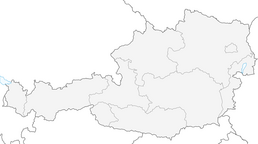


Donausteig stage 3_N08 Steyregg - Mauthausen: "Danube floodplains and hill country"
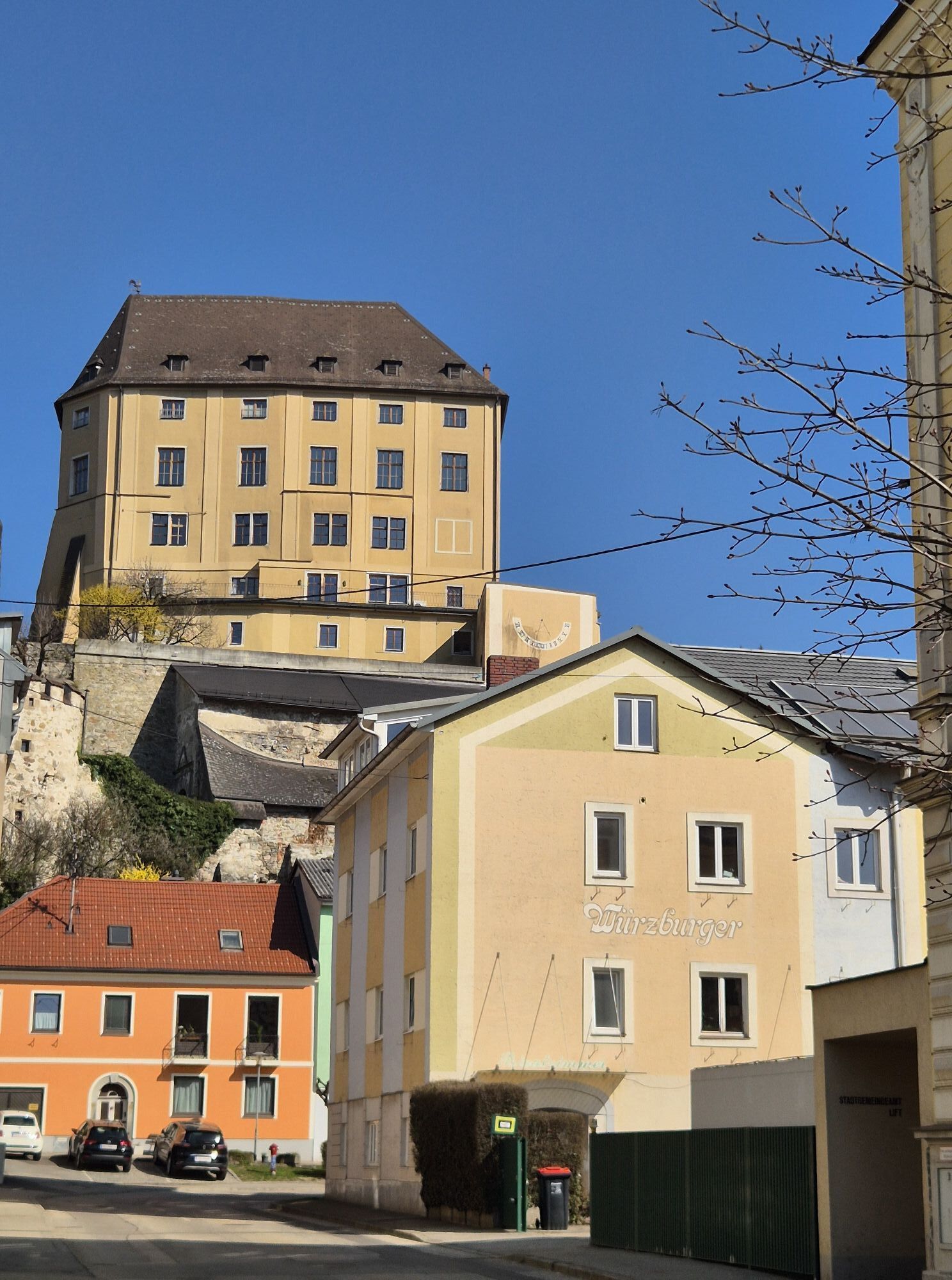
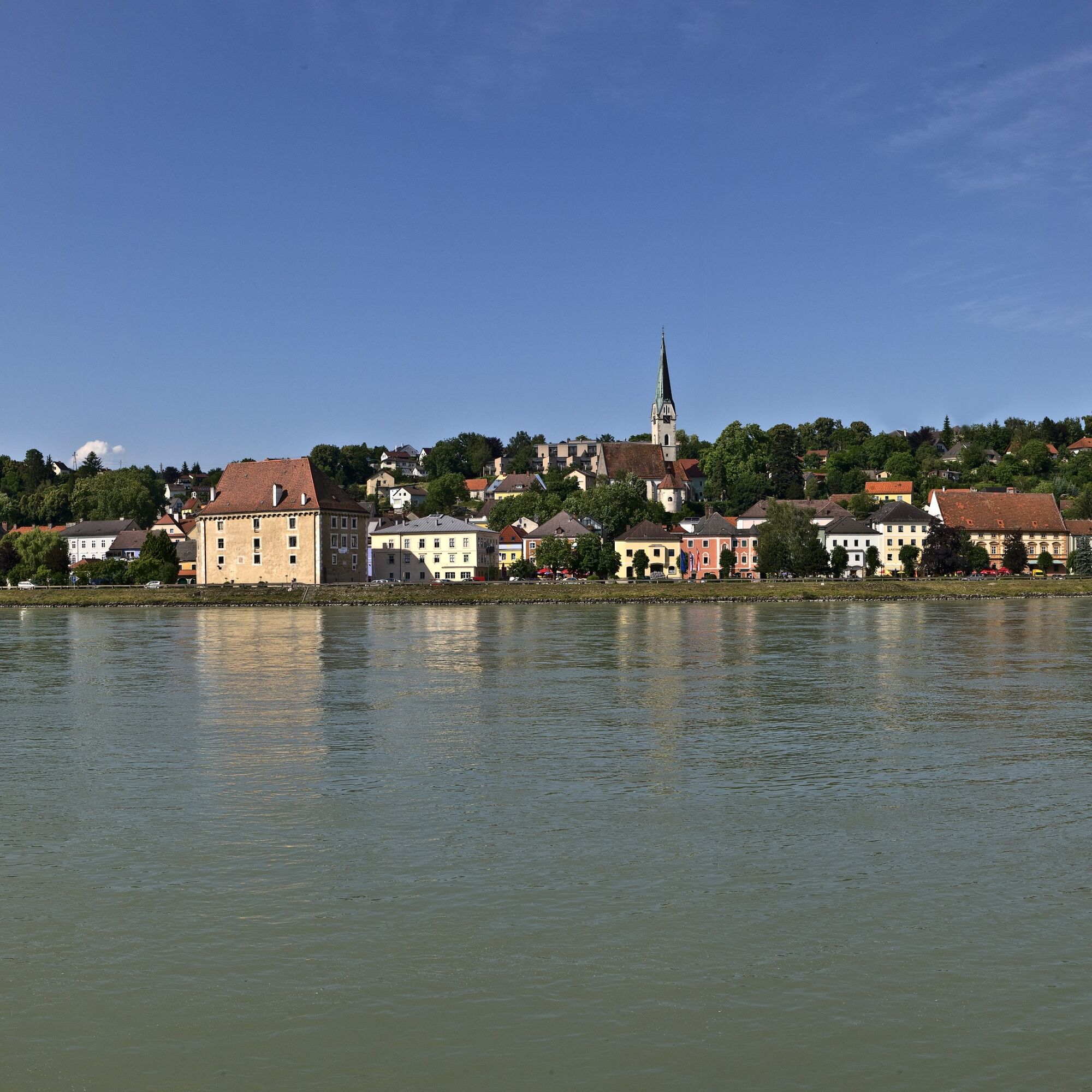
This Donausteig stage starts in Steyregg. The historic small town lies, separated by wide floodplains from the Danube River, on the eastern edge of the Linz Basin. The beautiful town center enchants with...
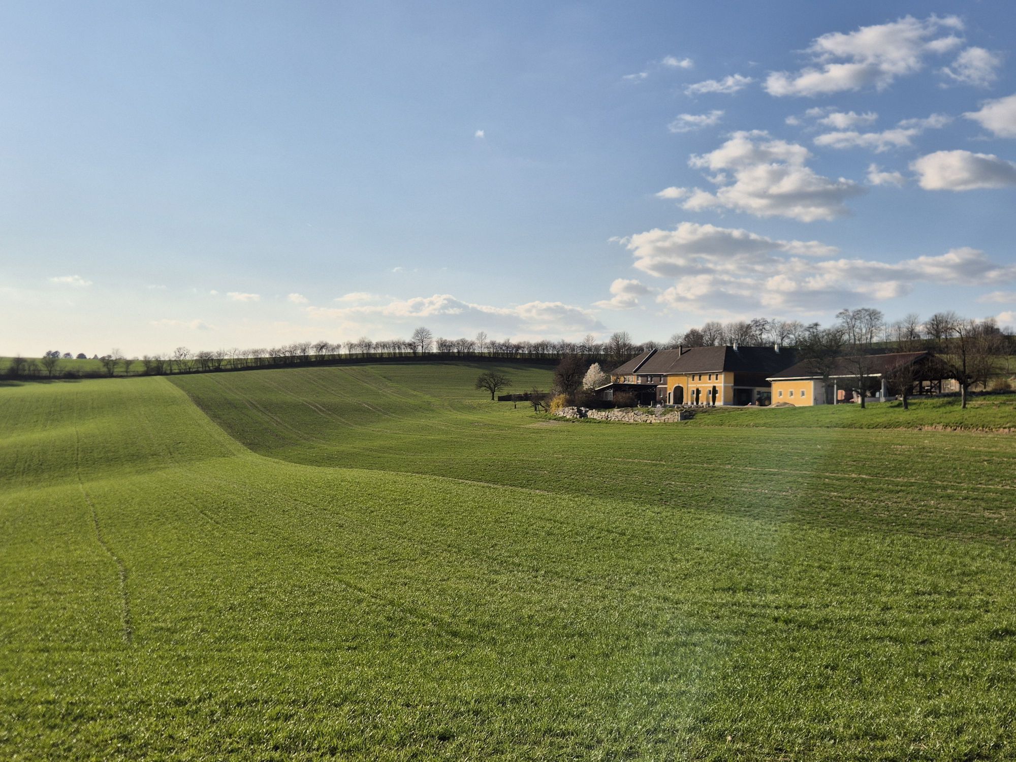
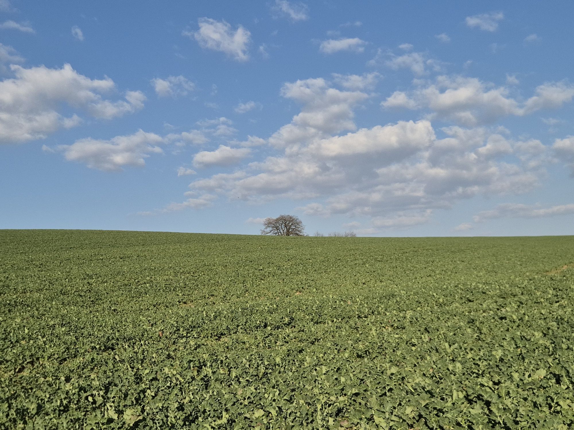
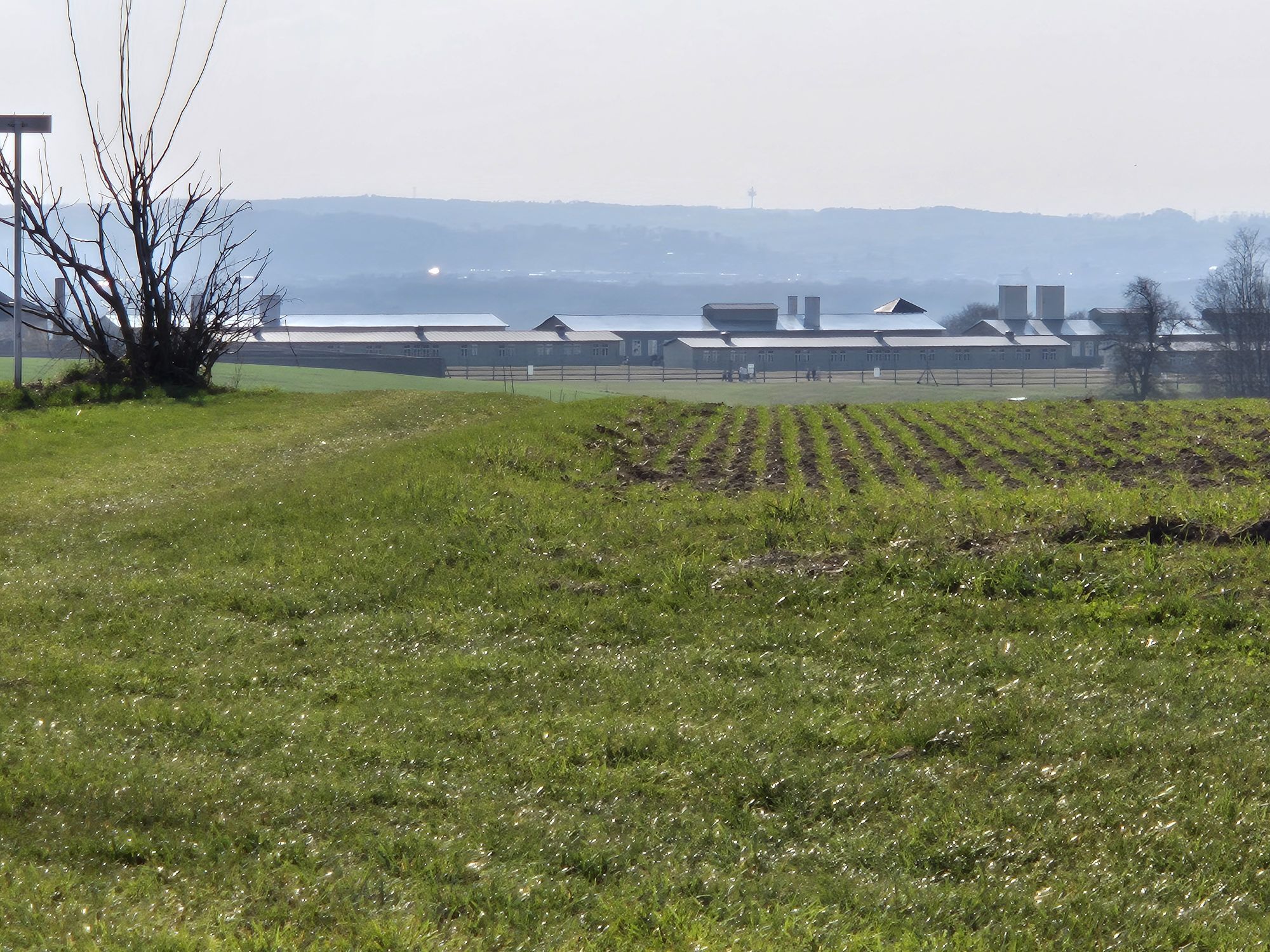
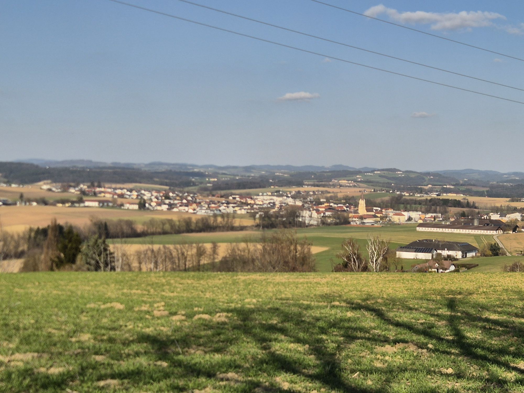
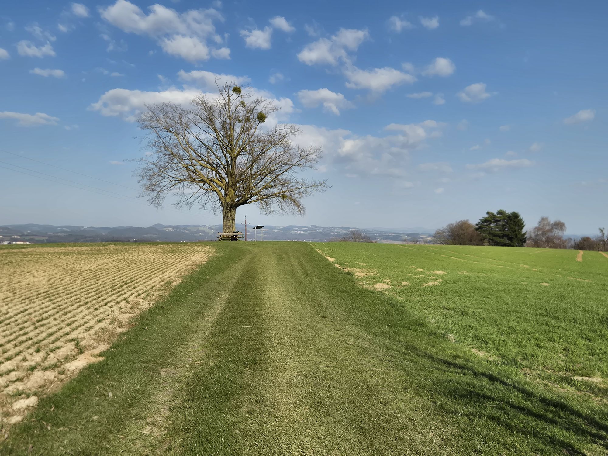
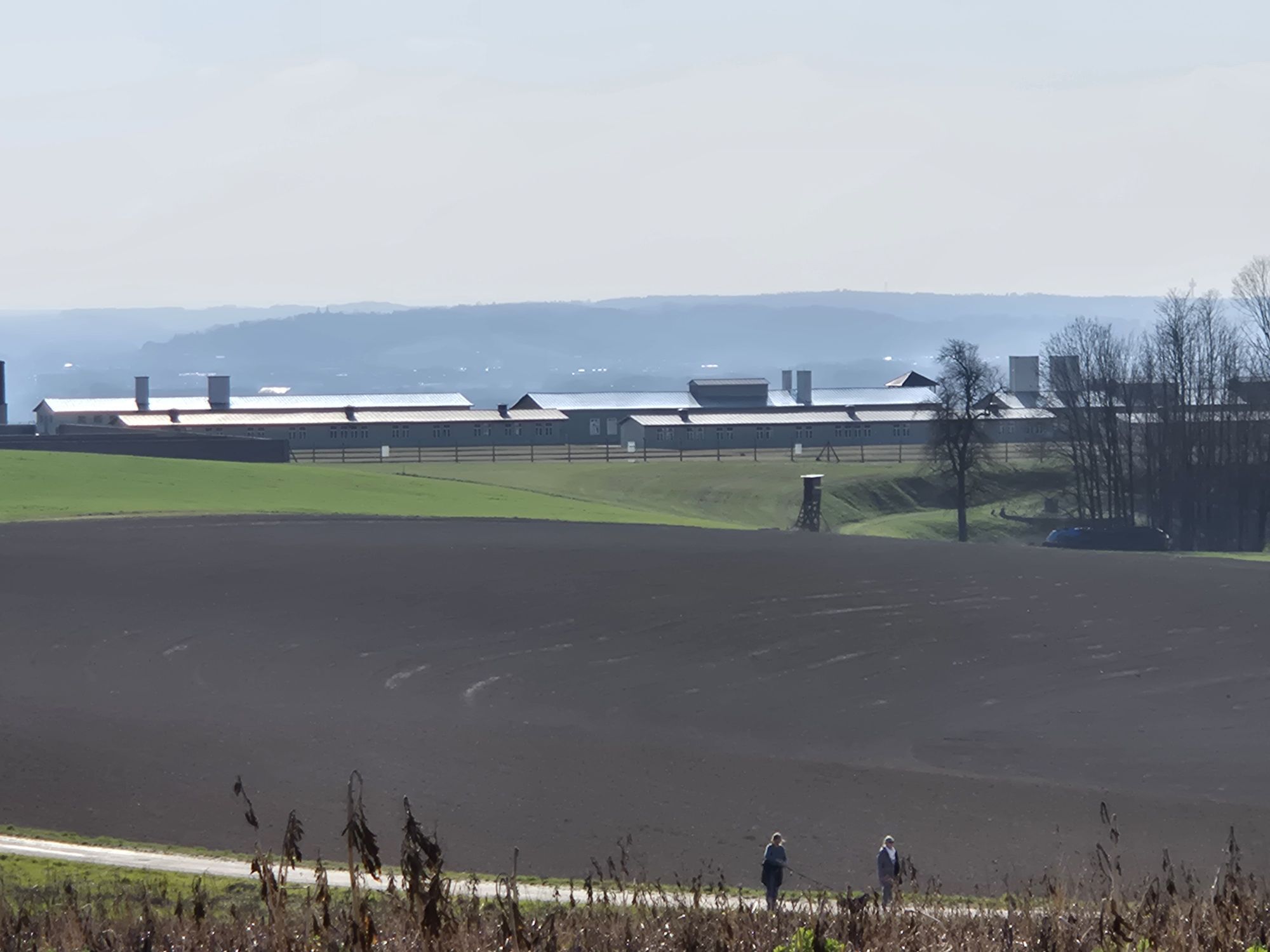
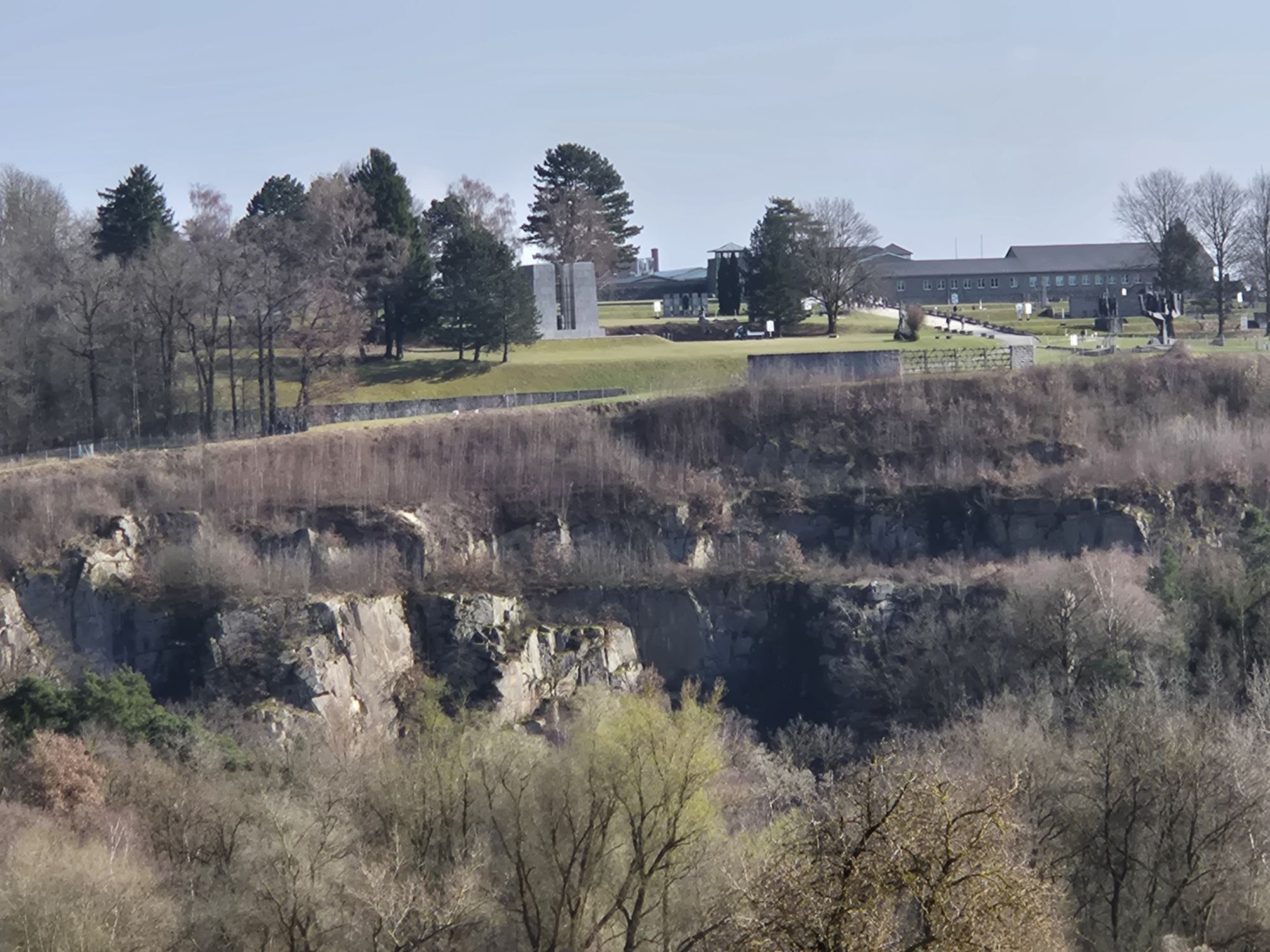
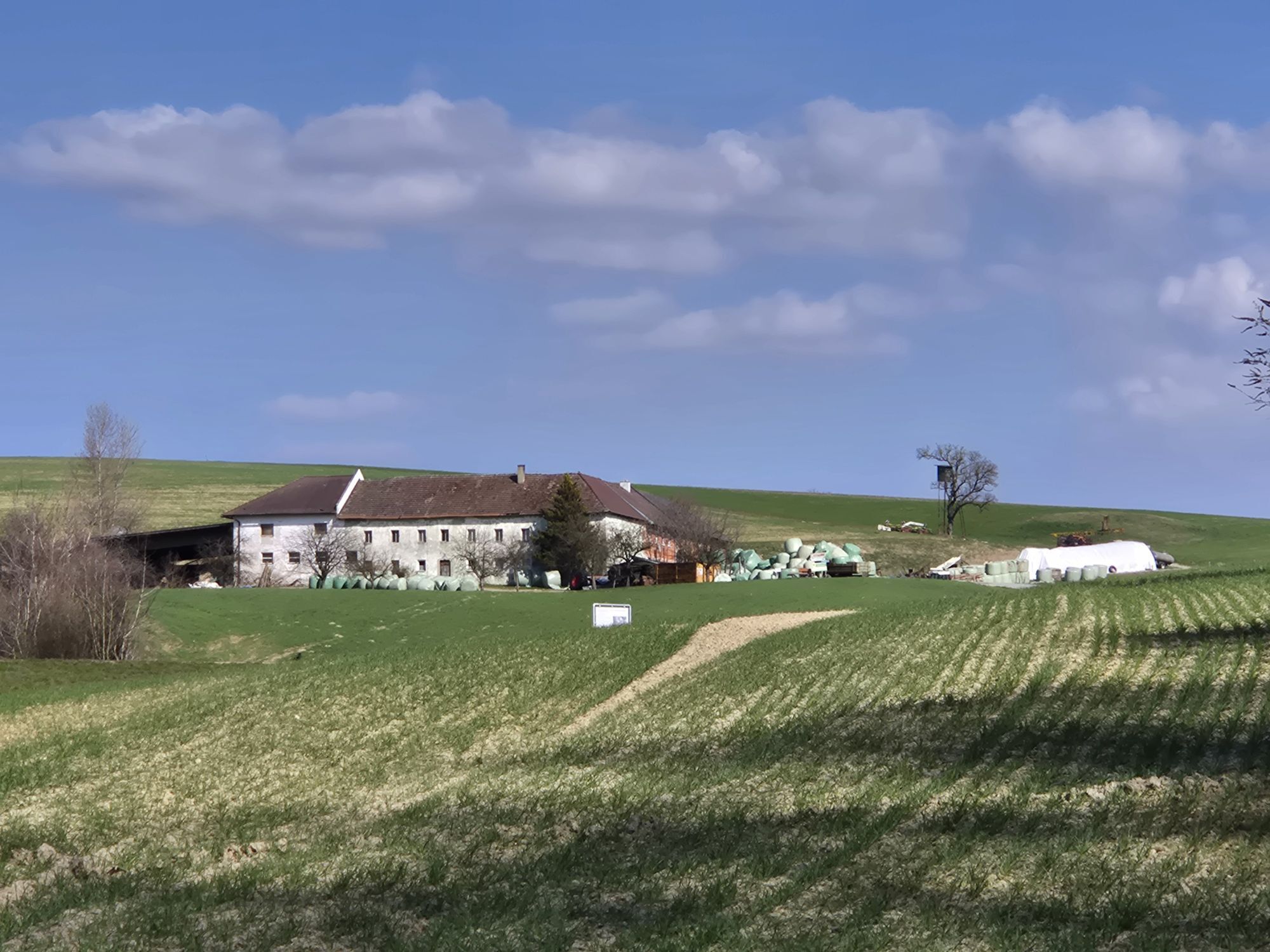
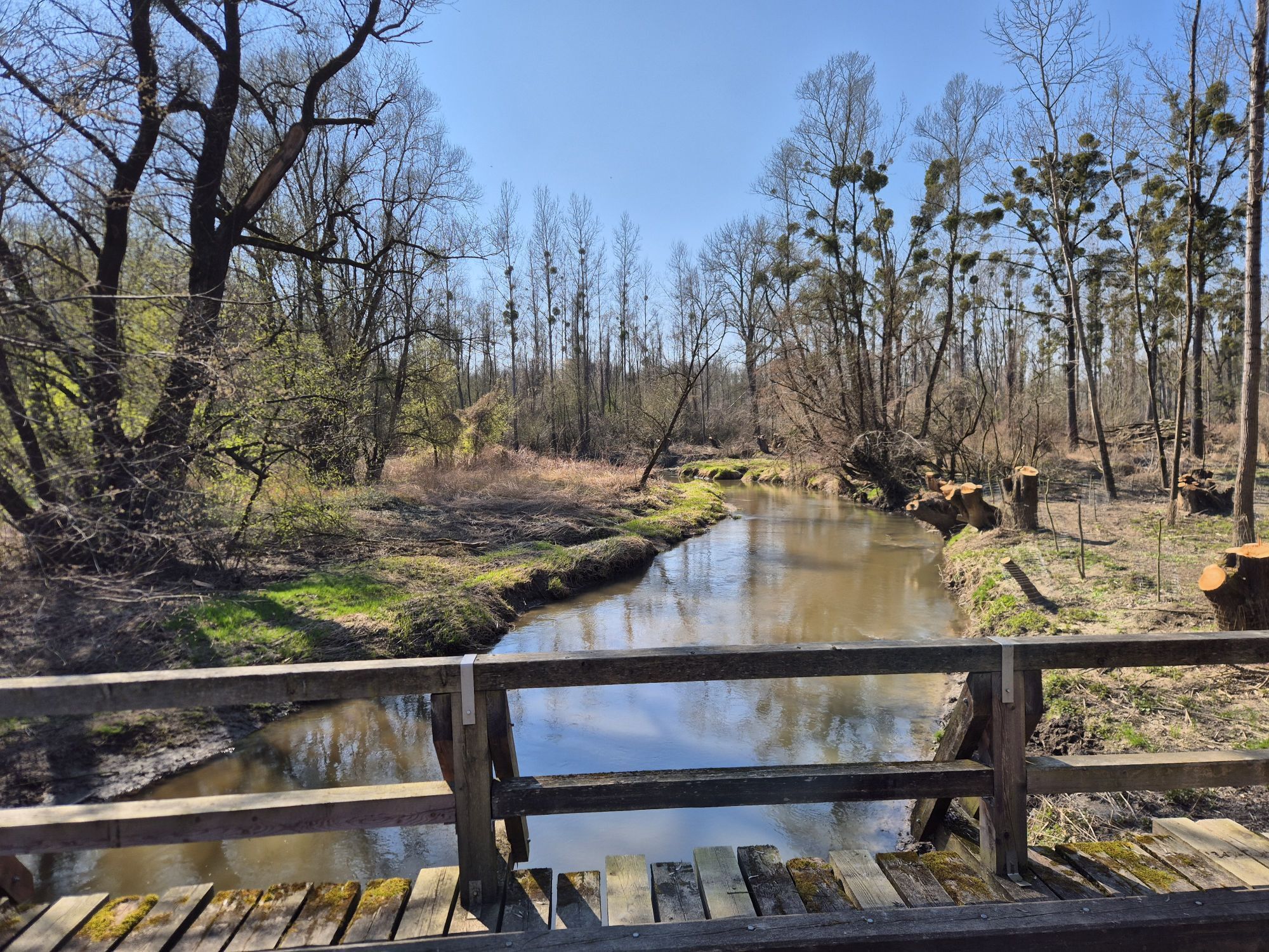
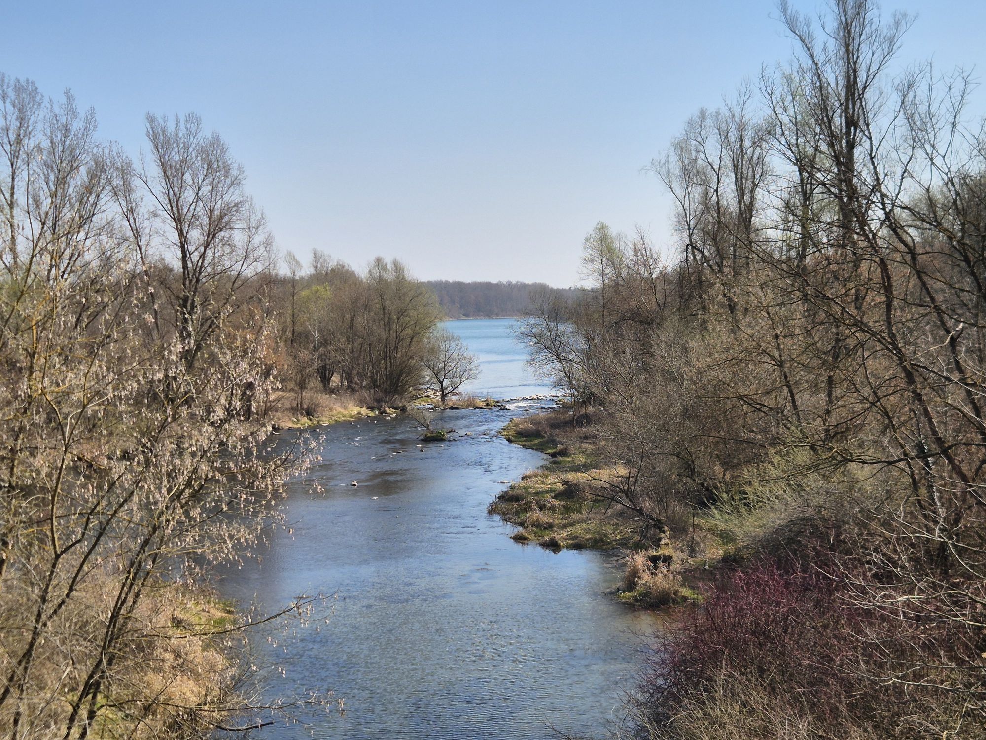
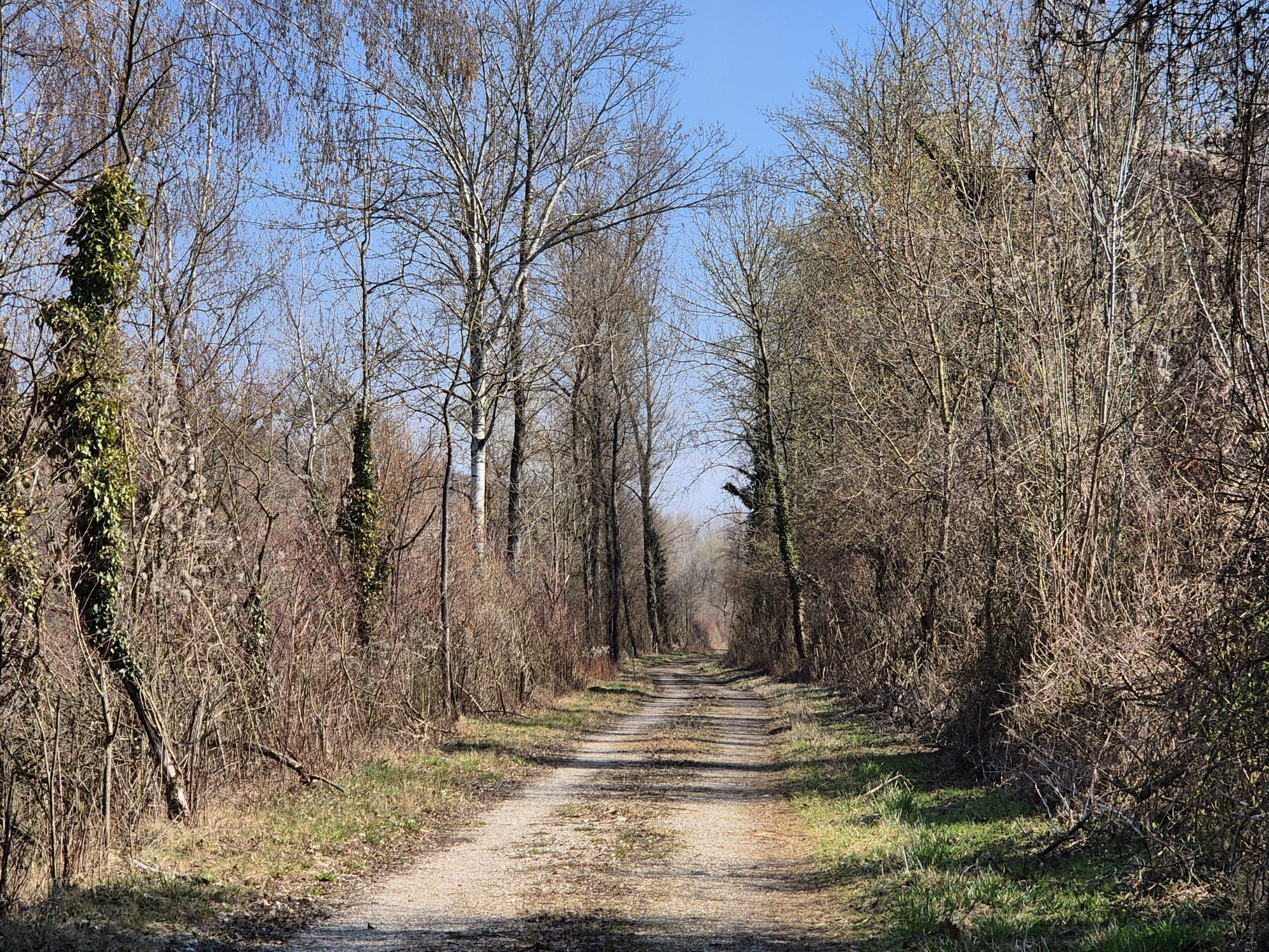
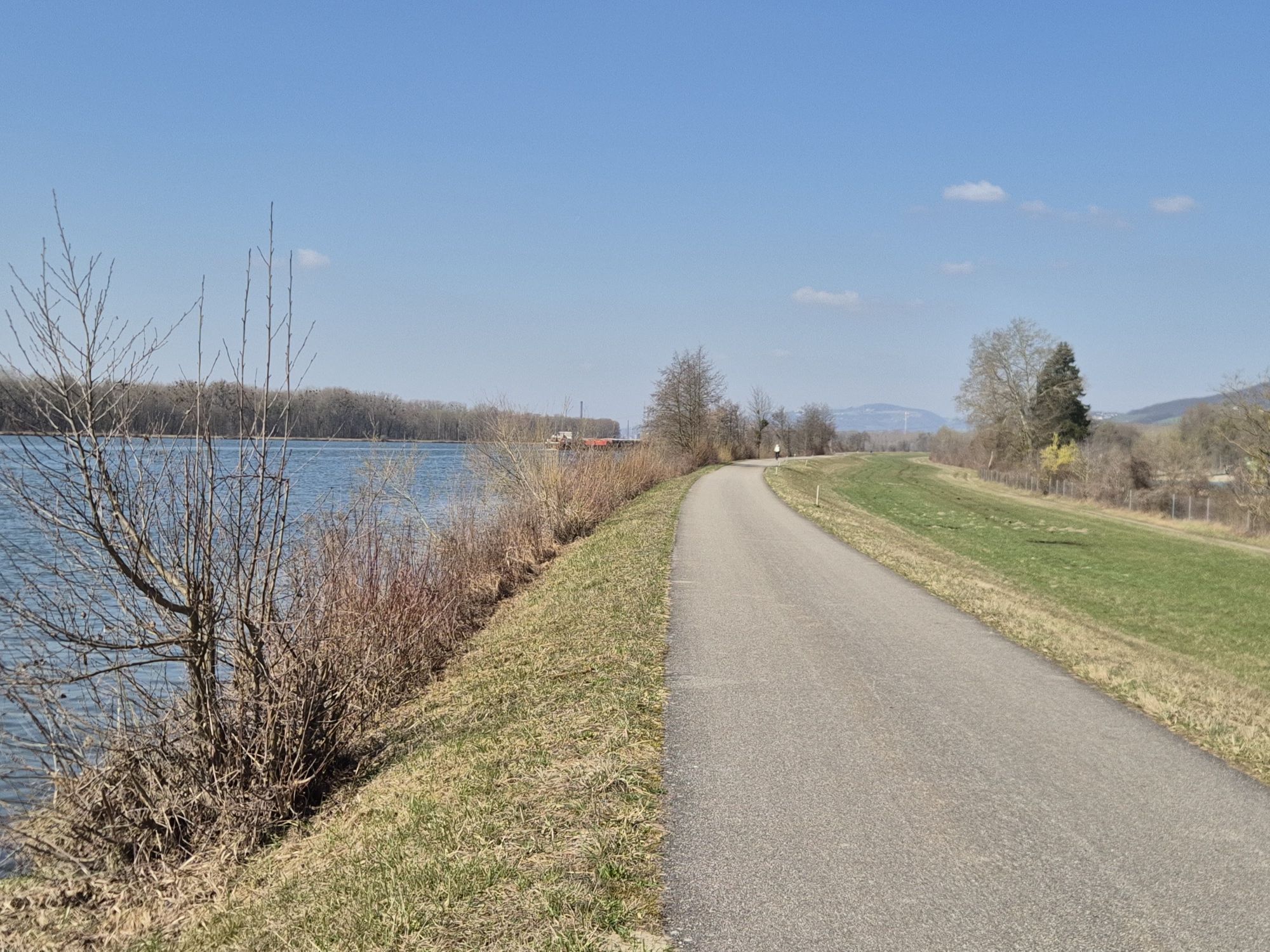
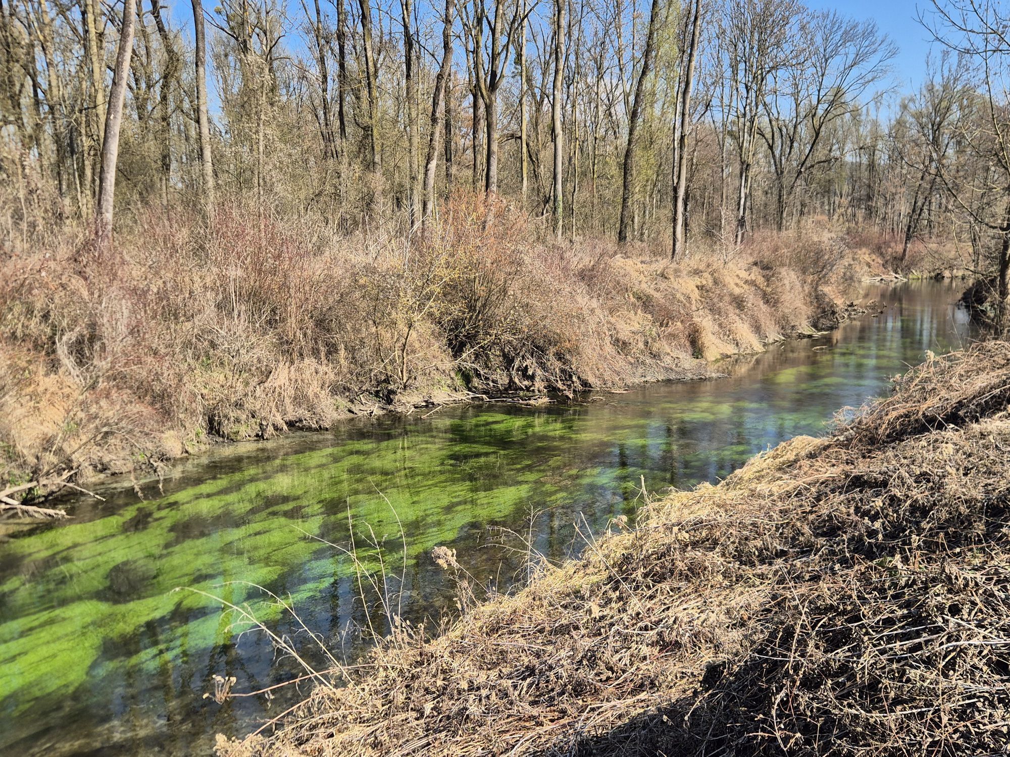
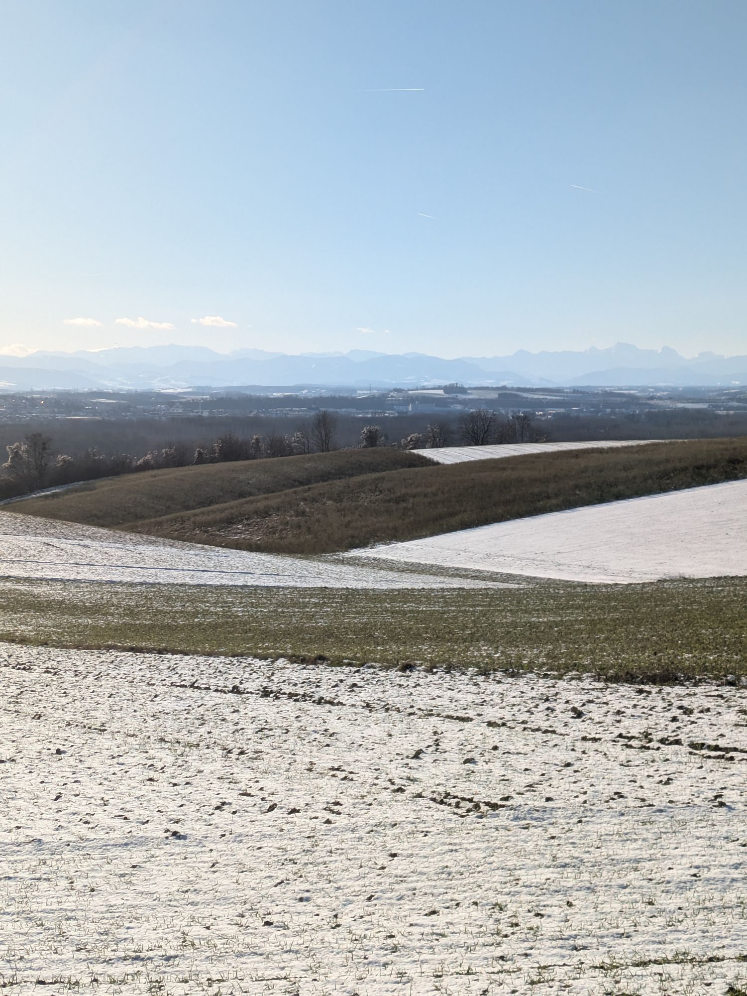
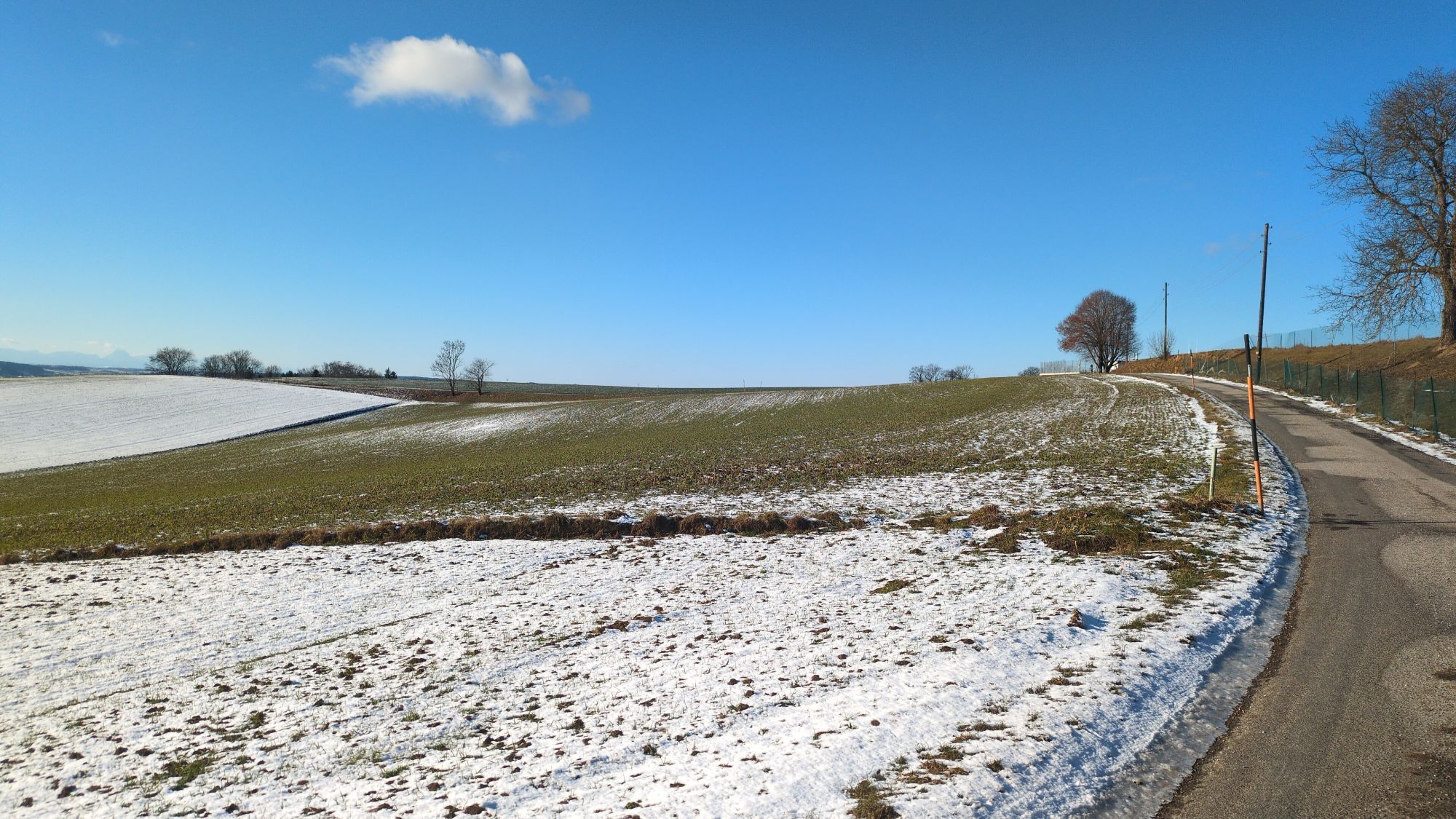
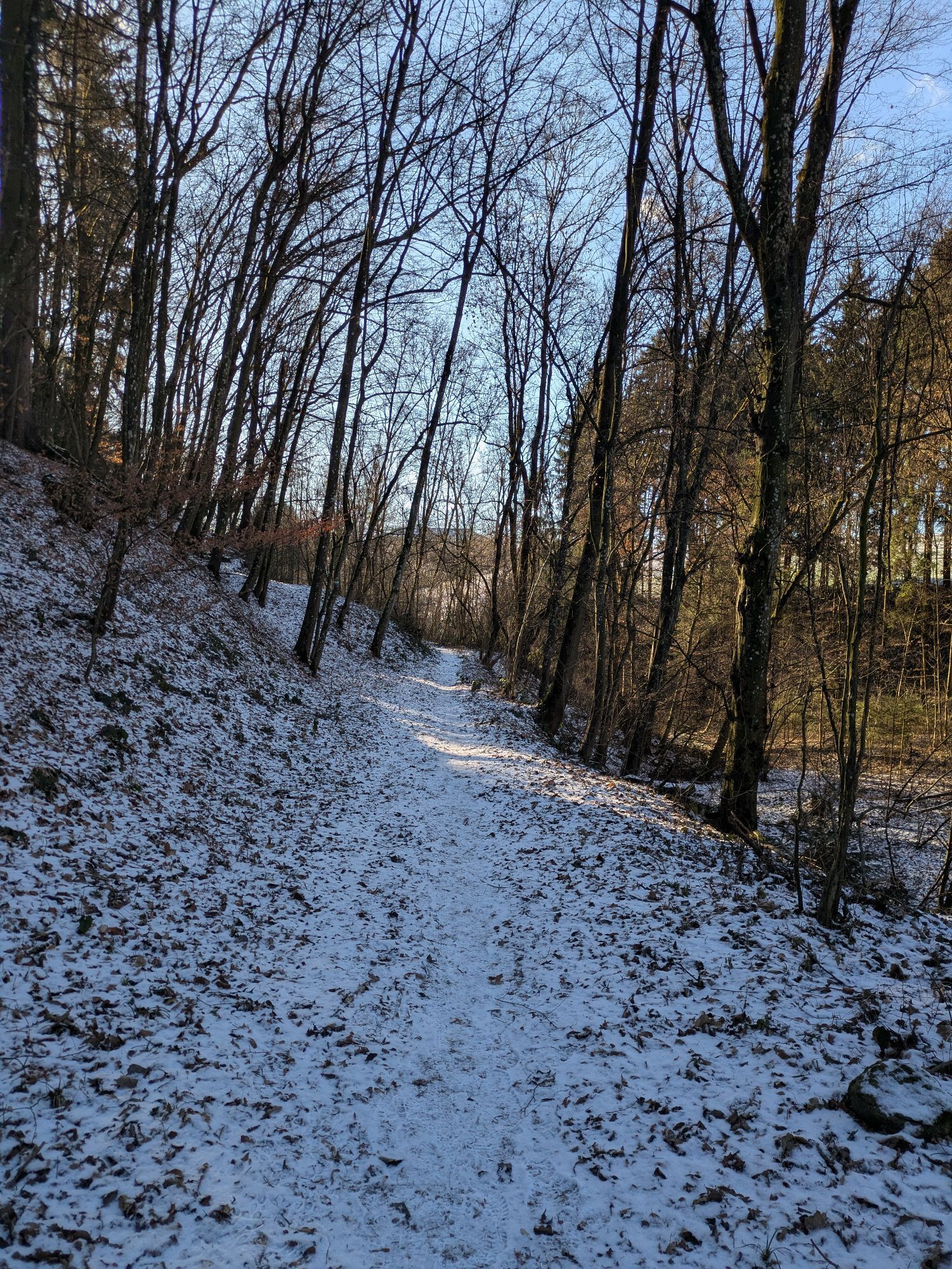
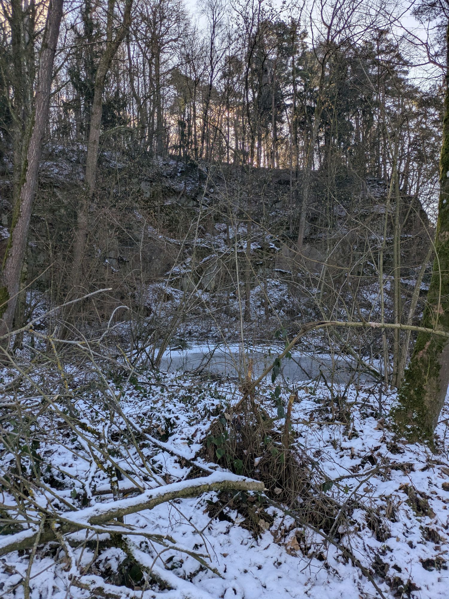
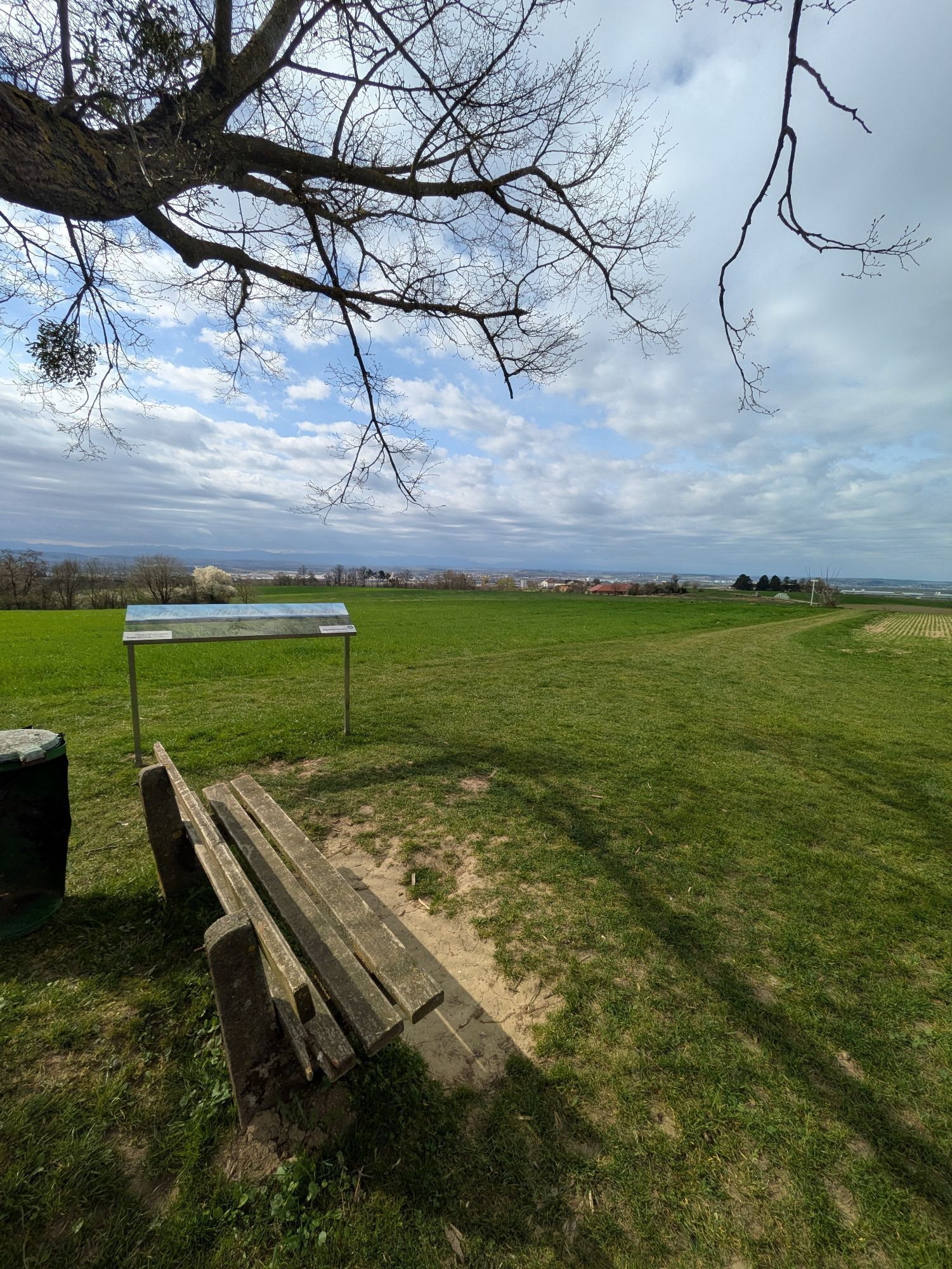
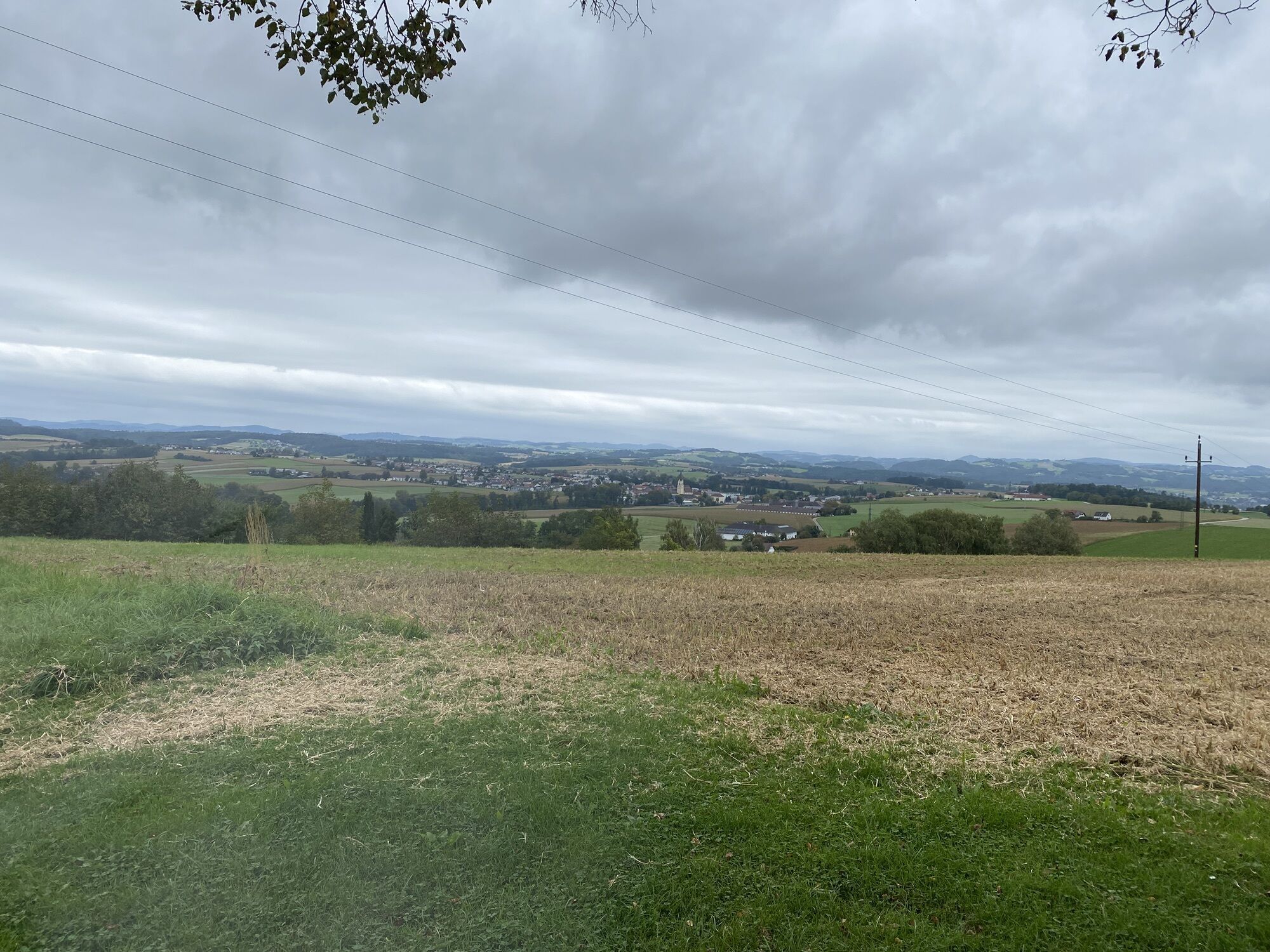
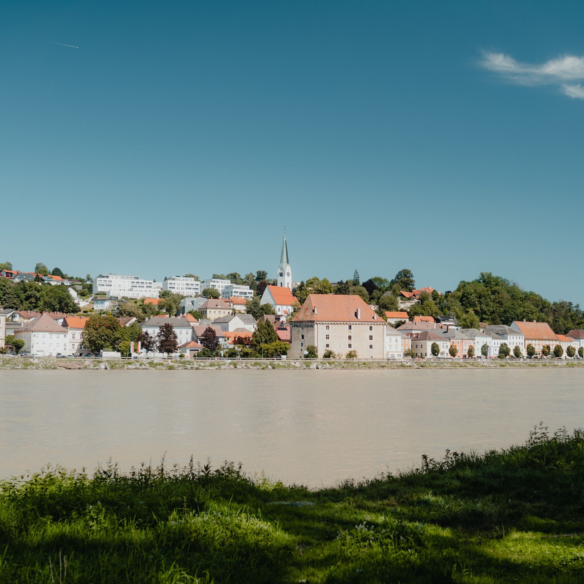
This Donausteig stage starts in Steyregg. The historic small town lies, separated by wide floodplains from the Danube River, on the eastern edge of the Linz Basin. The beautiful town center enchants with its medieval flair and at the same time presents a puzzle - see and discover! From the Donausteig starting point, we first walk briefly through the urban area, then the old federal road leads us about 1.5 km through the rural Danube plain. At Pulgarn station, we turn towards the Danube. A gravel road now takes us through a fascinating floodplain landscape: primeval-like forests, overgrown ponds, impressive giant trees, but also excavation ponds and gravel trucks. The bizarre atmosphere reminds one of the economic use of distant rainforests! Upon reaching the Danube, we follow the asphalted Danube embankment downstream for several kilometers. The river appears as a waterway of international importance and also as a playground for various adventurers: cyclists, canoeists, ... - here we are among ourselves! Just before the Abwinden-Asten power plant, we leave the Danube and cross its side arm. A narrow service road now leads about 2.5 km along the foot of the highway embankment of the federal road through dense floodplain forest. Then we turn off and head towards the edge of the Danube plain. The floodplain forest soon lies behind us, and we walk over small farm roads through a beautiful rural cultural landscape to Gusen. We then accompany the main road briefly in the direction of Langenstein. Then the ascent begins into the wonderful Mühlviertel hill country – a scenic highlight! Meadows, fields, woods, wayside shrines, farms, ... convey rural creativity and lively tradition. On small farm roads, we hike over the first ridge, the Frankenberg. The views from up here wander across the wide Danube plain to the Mostviertel and the Traun-Enns-Riedelland – simply beautiful! After a brief descent via farm roads and forest paths, we stand on the opposite slope of the Mauthausen concentration camp memorial. Its monuments rise warningly above the death quarry towards the sky – a sense of concern spreads. The question naturally arises: “Could something like this happen again today?” Thoughtfully, we go down into the Rieder Bach valley to the Kreuzmühle inn, where there is the option for a detour to the Mauthausen concentration camp memorial. The Donausteig then leads us over a side road through a short woodland up to the idyllic Marbach country estate. A few minutes later, we stand on an open hilltop next to a magnificent lime tree. Congratulations – this is the highest point of this Donausteig stage! Close to the sky, the 360° view extends far into the land. Truly a place of inspiration. Now we hike down over meadows, farm and forest paths with gentle ups and downs to the Donausteig rest area "Kalvarienberg Chapel" on the last ridge above the Danube. The view of the historically significant confluence of the Enns invites us here to contemplate the flow of time. After a short descent through settlements, we stand on the magnificent riverside promenade of Mauthausen, the center of granite art. Donausteig – simply an experience!
Discover the following highlights with the Donausteig diary:
- Steyregg - Old town completely new
- Donausteig starting point "Steyregg"
- Ringelau gravel from the primeval forest
- Traun estuary - salt & steel
- Floodplain forests on European course
- Danube power plant Abwinden-Asten
- In the radar’s field of view!
- Reservoir as a new habitat
- ...
Download: Donausteig diary stage 3_N08 Steyregg-Mauthausen
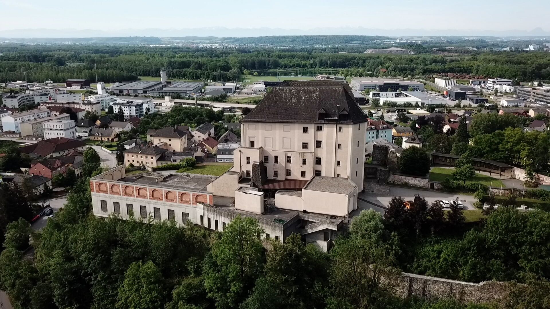
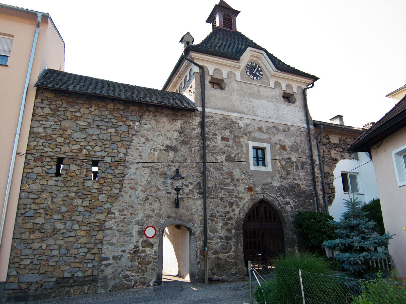
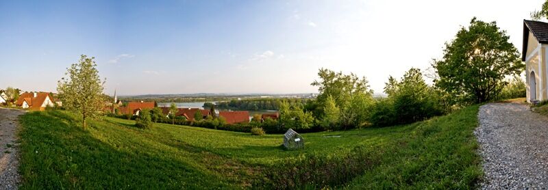
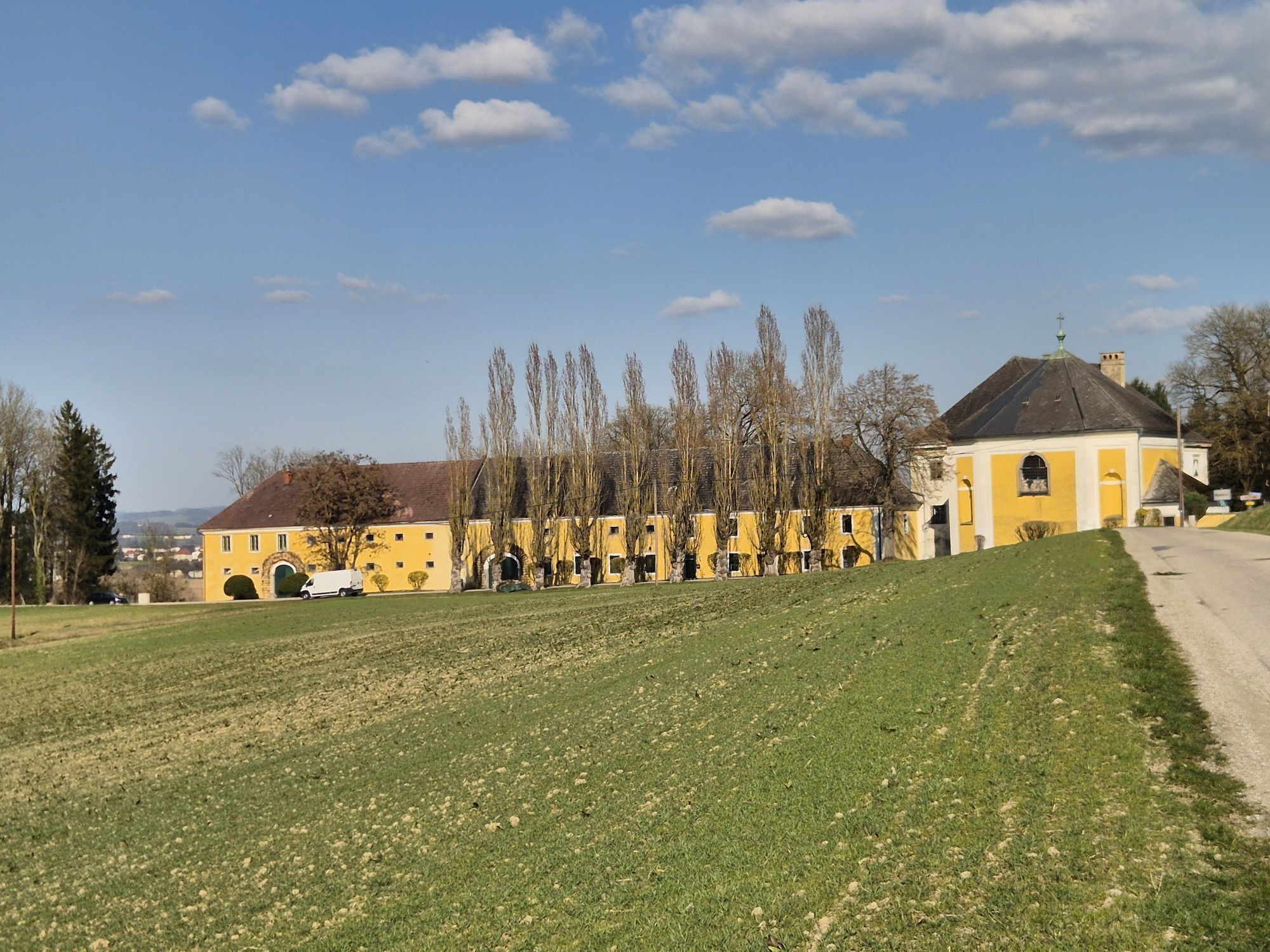
From the Donausteig starting point "Steyregg", an asphalt footpath leads east in a left curve around the old city wall to the Seilertor (old city gate). There we turn right. Shortly after, we enter Mauthausener Straße, which takes us in a long, pointed right curve to the old federal road. Continuing left, we reach the Pulgarn train station after about 1.5 km. There, we cross the tracks and the new federal road to the right towards the Danube, then follow the right gravel road to the next intersection. A wide gravel road now leads left through the floodplain to the Steyregg marina. From here, we hike along the towpath about 3.5 km downstream along the Danube. At the junction of an asphalt road, we leave the river to the left via this road and cross a bridge toward Abwinden. Immediately after the bridge, the Donausteig loops left under it and continues straight along a service road at the foot of the high highway embankment of the federal road through the floodplain forest. After 2.5 km, we turn left. In a long right curve, we reach the edge of the floodplain forest at a farming settlement (the prehistoric sacrificial site Berglitzl). Turn left here. We continue on small farm roads through a rural cultural landscape to the main road in Gusen. We follow this briefly in the direction of Langenstein and then turn left into Poschacherstraße (notable sculpture avenue). Leisurely uphill past the Poschacher natural stone works, at the next intersection, stay far right. At the following intersection (granite wayside shrine), we turn left in an S-curve uphill to the gas pressure station (lime trees, granite wayside shrine) on the Frankenberg. Turn right here. Immediately after the next farm, a forest hollow path leads steeply downhill to the Frankenberg settlement. The settlement road goes left uphill into a forest path that takes us in a right curve onto the next ridge. Upon reaching the top, at the forest edge (view of the Mauthausen concentration camp memorial), turn left and immediately right again. First a field path, then an asphalt road leads downhill to the Kreuzmühle inn at the Rieder Bach (detour to the Mauthausen concentration camp memorial possible). We continue up the asphalt road. Past a short settlement, we reach Marbach Castle. Turn right back here. After about 200 m, leave the asphalt road and follow the field path left to the hilltop (lime tree, highest point of this Donausteig stage). From here, meadows lead down to a farm driveway, which we follow left through a forest to the asphalt road. Now turn right. After about 180 m, turn right again immediately. Initially over a forest path, then over field paths straight ahead, we reach the Donausteig rest area "Kalvarienberg Chapel" after a final right turn in the Kalvarienberg settlement. At the T-junction, turn left in a wide right curve to the Parkstraße. Then follow this left downhill and at the next intersection, go straight into Brunngasse. Continue downhill to the T-junction. There turn left, and we stand at the marketplace of Mauthausen. At its western edge, walk straight down Rathausgasse to Pragstein Castle and then left to the Donausteig starting point "Mauthausen".
To make orientation easier for you, the Donausteig has been equipped with its own orientation system - the description can be found here .
Besides the personal hiking equipment, there are no special requirements.
Unlimited and free parking is available at the parking lot near the Donausteig rest area.
WGD Donau Oberösterreich Tourismus GmbH
Lindengasse 9
4040 Linz, Austria
Tel. +43(0)732/7277-800
Fax. +43(0)732/7277-804
info@donausteig.com
Municipal Office Steyregg
Weissenwolfstr. 3
4221 Steyregg
Tel.: +43(0)732/640155
Fax: +43(0)732/640555
office@steyregg.at
www.steyregg.at
Tourism Association Mauthausen
Heindlkai 13
4310 Mauthausen
Tel.: +43(0)7238/2243 or 2023-0
Fax: DW-51
mauthausen@oberoesterreich.at
www.tiscover.com/mauthausen
www.mauthausen.biz
A detour to the Mauthausen concentration camp memorial reveals the scale of the horrors during the National Socialist era and may also sensitize us to dangerous currents in our present day!
Webové kamery z prehliadky


Obľúbené výlety v okolí
-
4,6
Schwertberg: Weltstoarunde
svetloTuristika 11,4 km -
4,6
Aisttalrundweg + P6
svetloTuristika 9,36 km -
4,4
Wartberg Ob der Aist, Natura Aist Trail Rundwanderung
svetloTuristika 8,37 km -
4,7
Steyregg Donau-Höhen-Rundwanderweg Pulgarn - Hohenstein (und zurück)
svetloTuristika 7 km -
4,4
Linz: City Hiking Trail Pöstlingberg
strednáTuristika 7,71 km -
4,7
Unterweitersdorfer Sagenweg
svetloTuristika 5,87 km -
4,7
Steyregg Pfenningberg-Gipfelwanderweg
strednáTuristika 4 km -
5,0
Steyregg AV 50 Plesching - GH Daxleitner
svetloTuristika 4 km -
4,1
Auseeweg in Luftenberg an der Donau
svetloTuristika 9,96 km -
5,0
Steyregg 3 Buchen Weg
strednáTuristika 8 km
Turistika a stopovanie


Nenechajte si ujsť ponuky a inšpiráciu na ďalšiu dovolenku
Vaša e-mailová adresa bol pridaný do poštového zoznamu.