


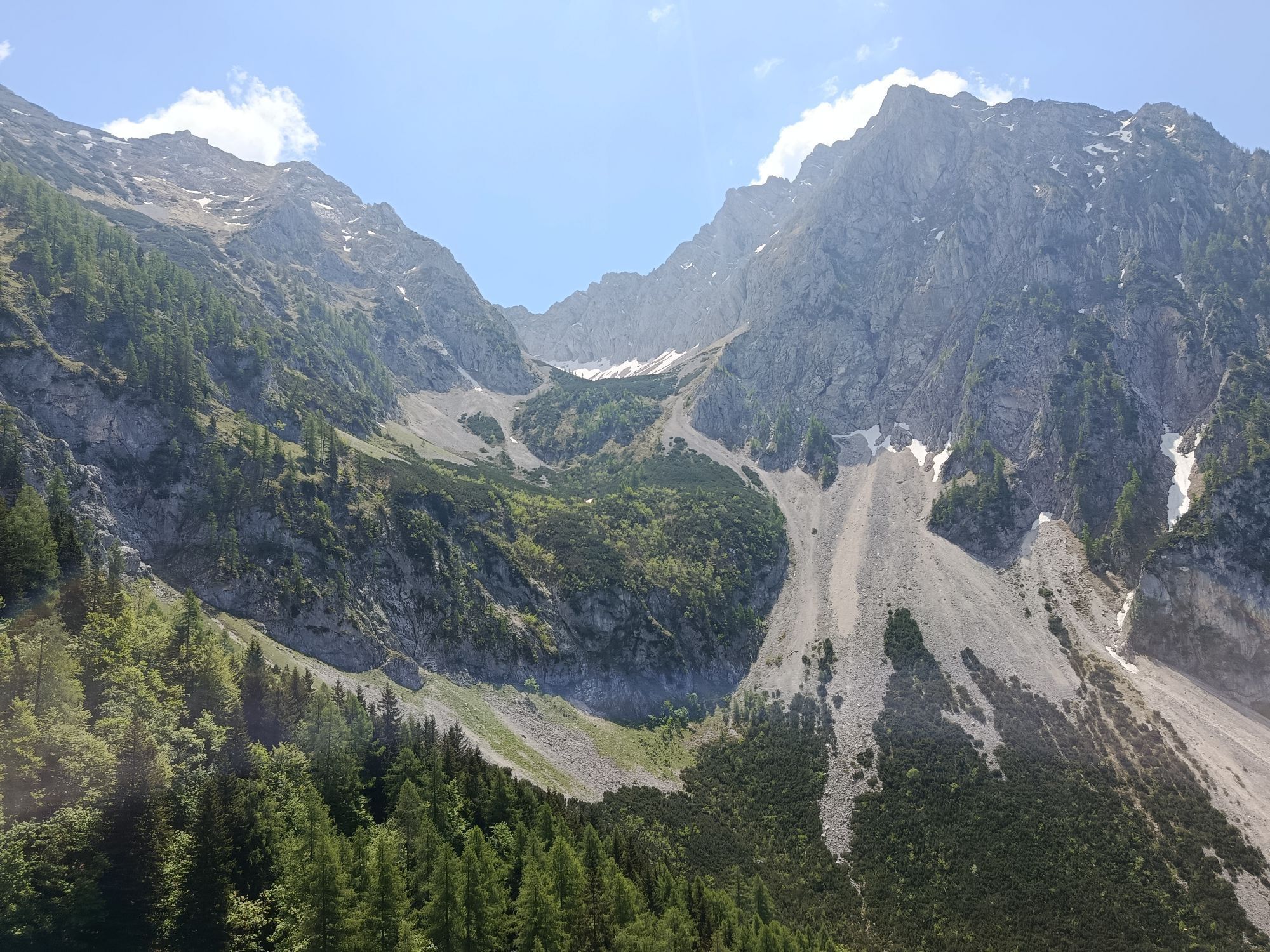
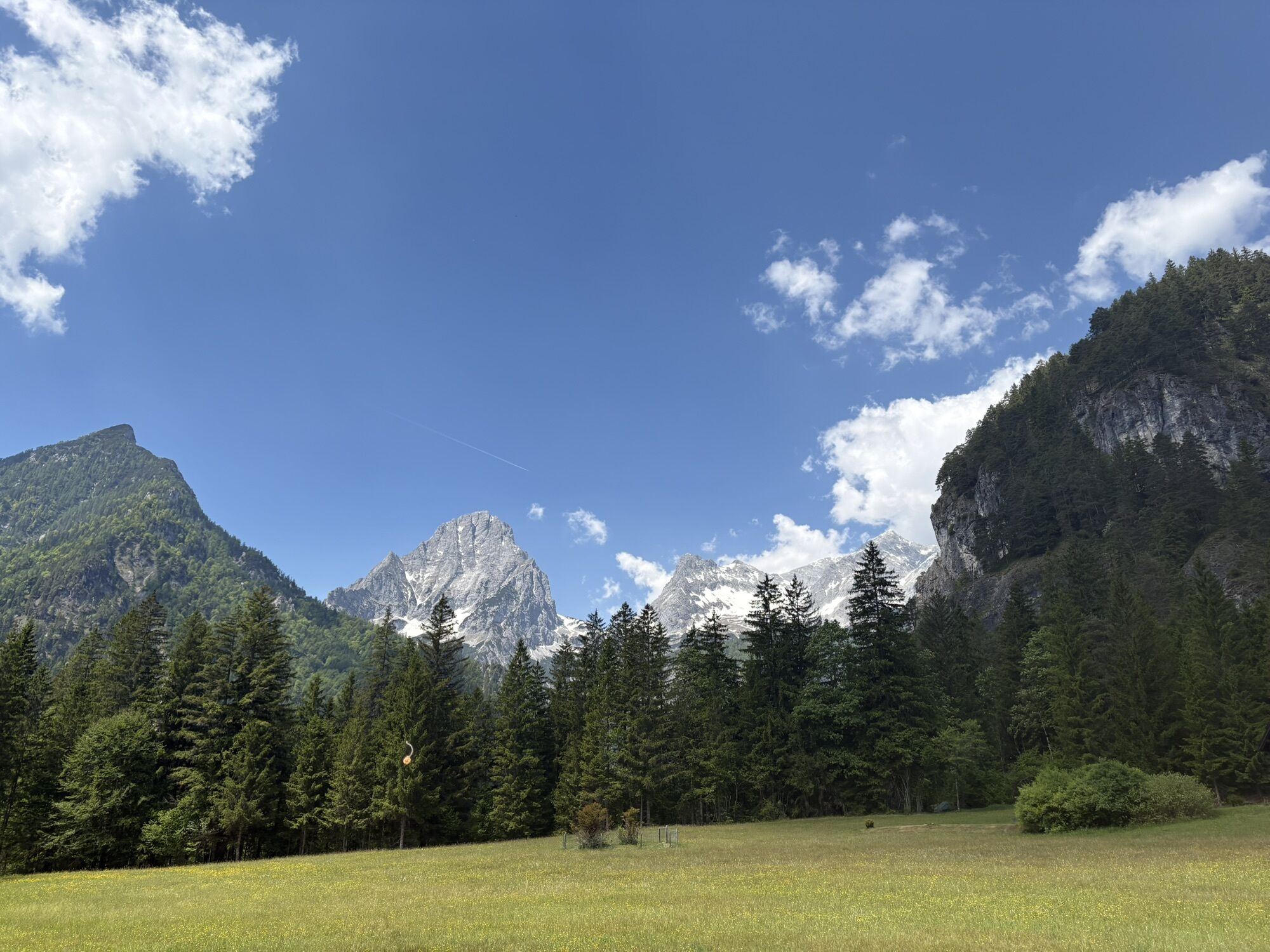
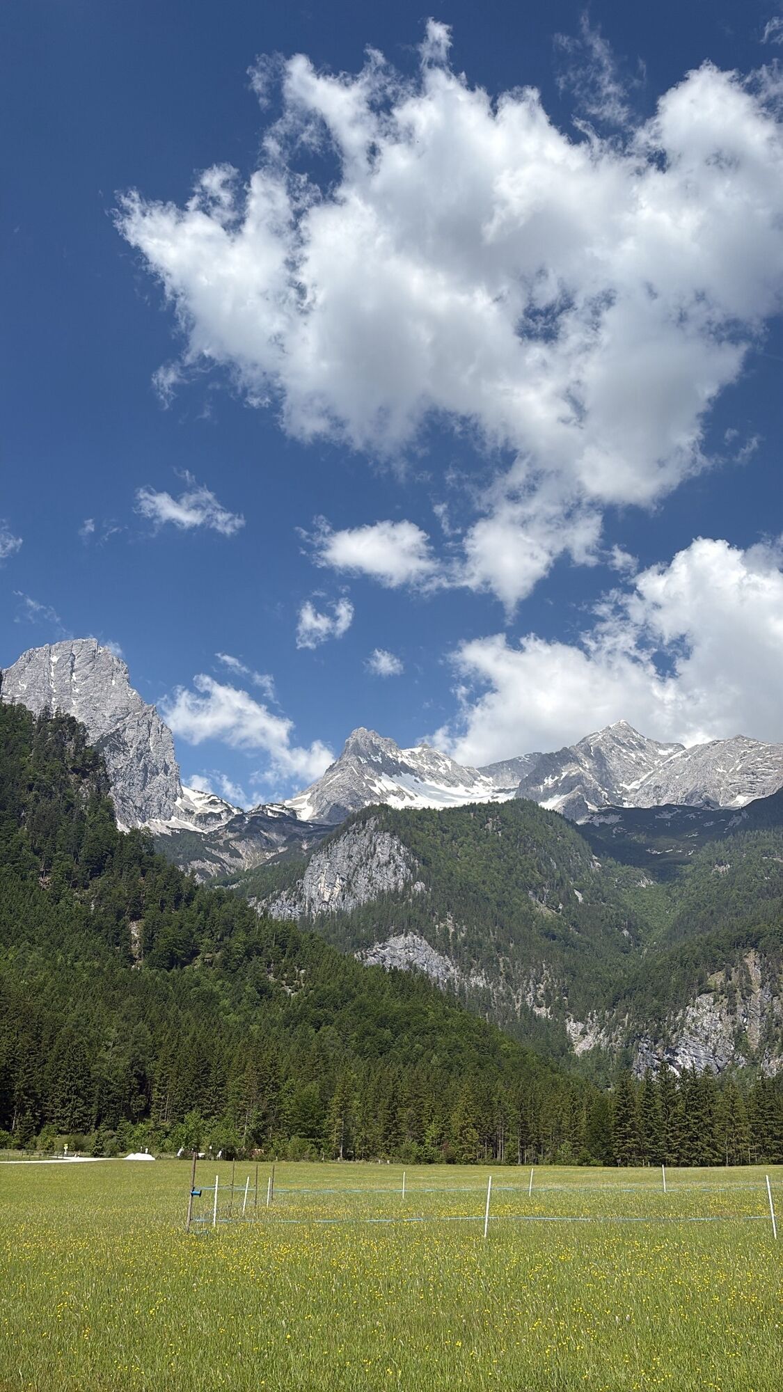
Kalkalpen Trail - Kalkalpen National Park


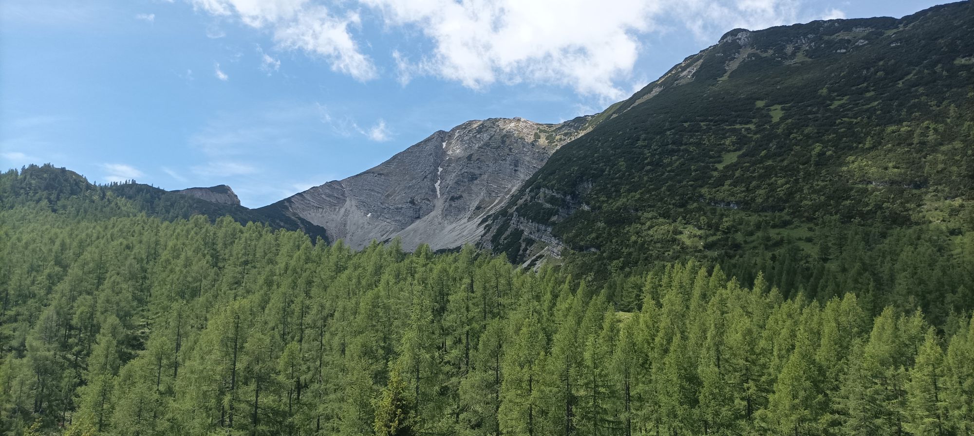
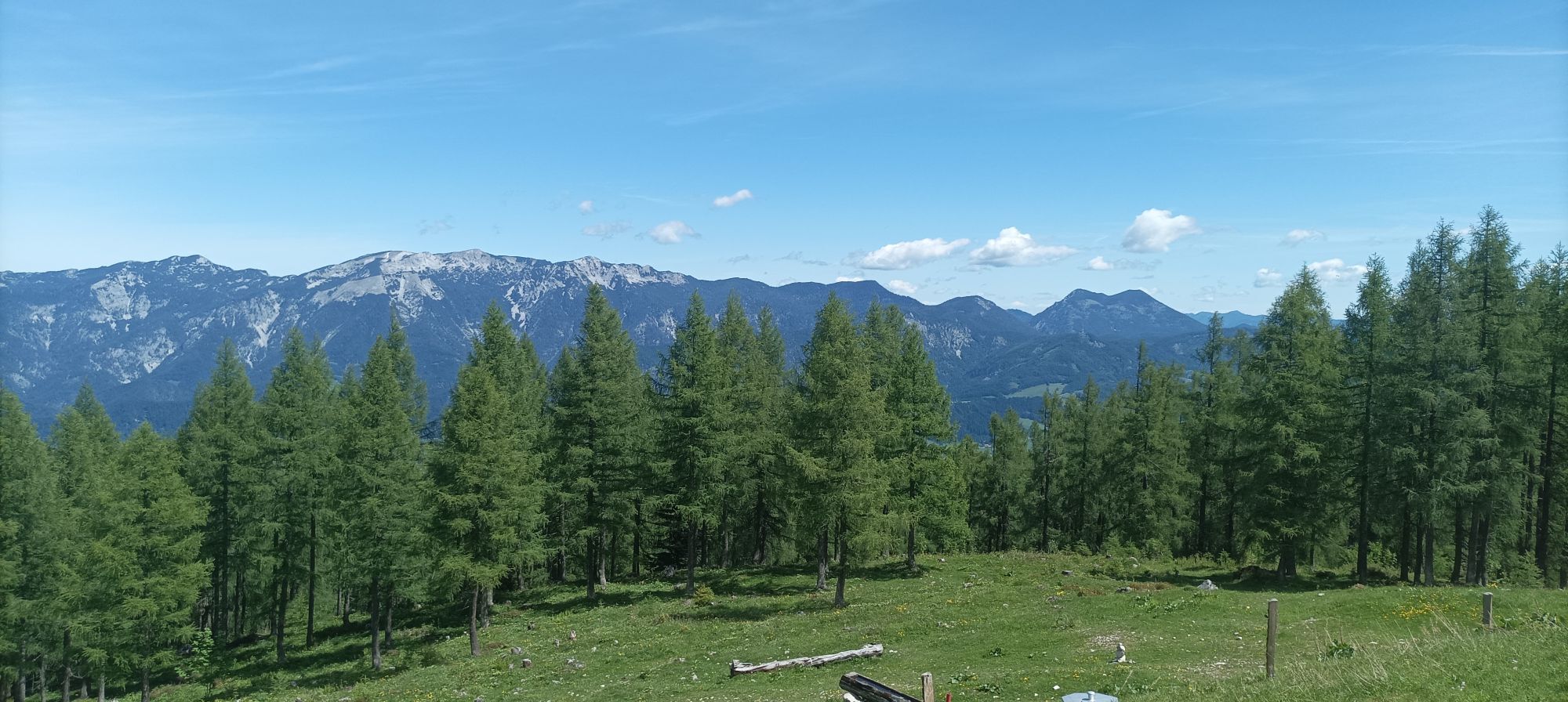
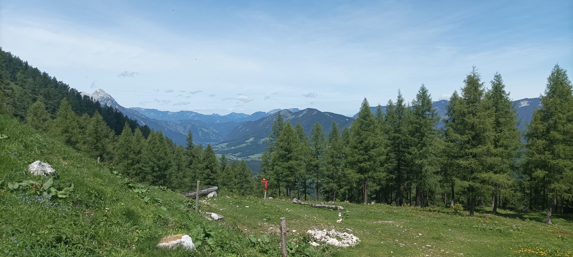
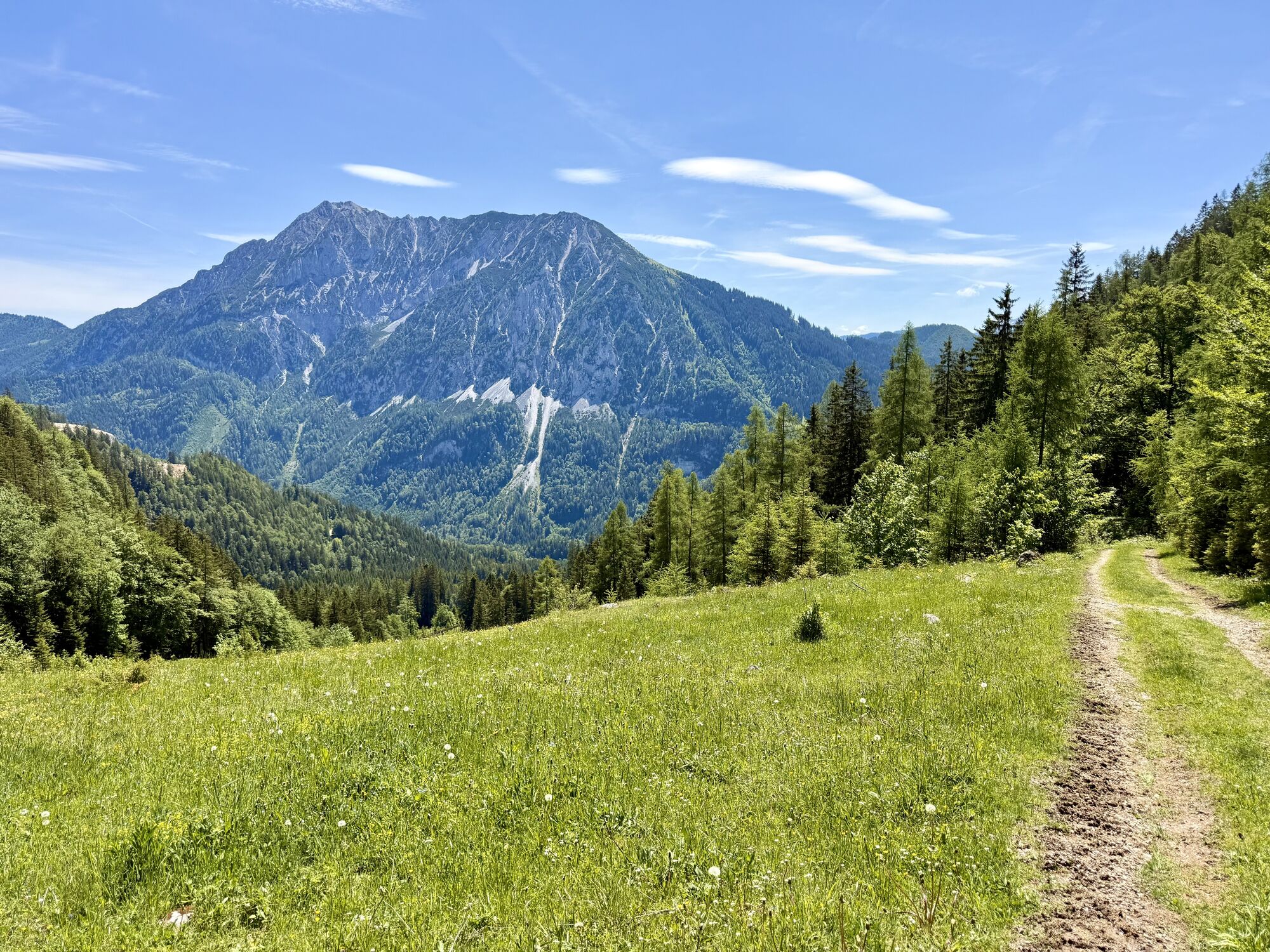
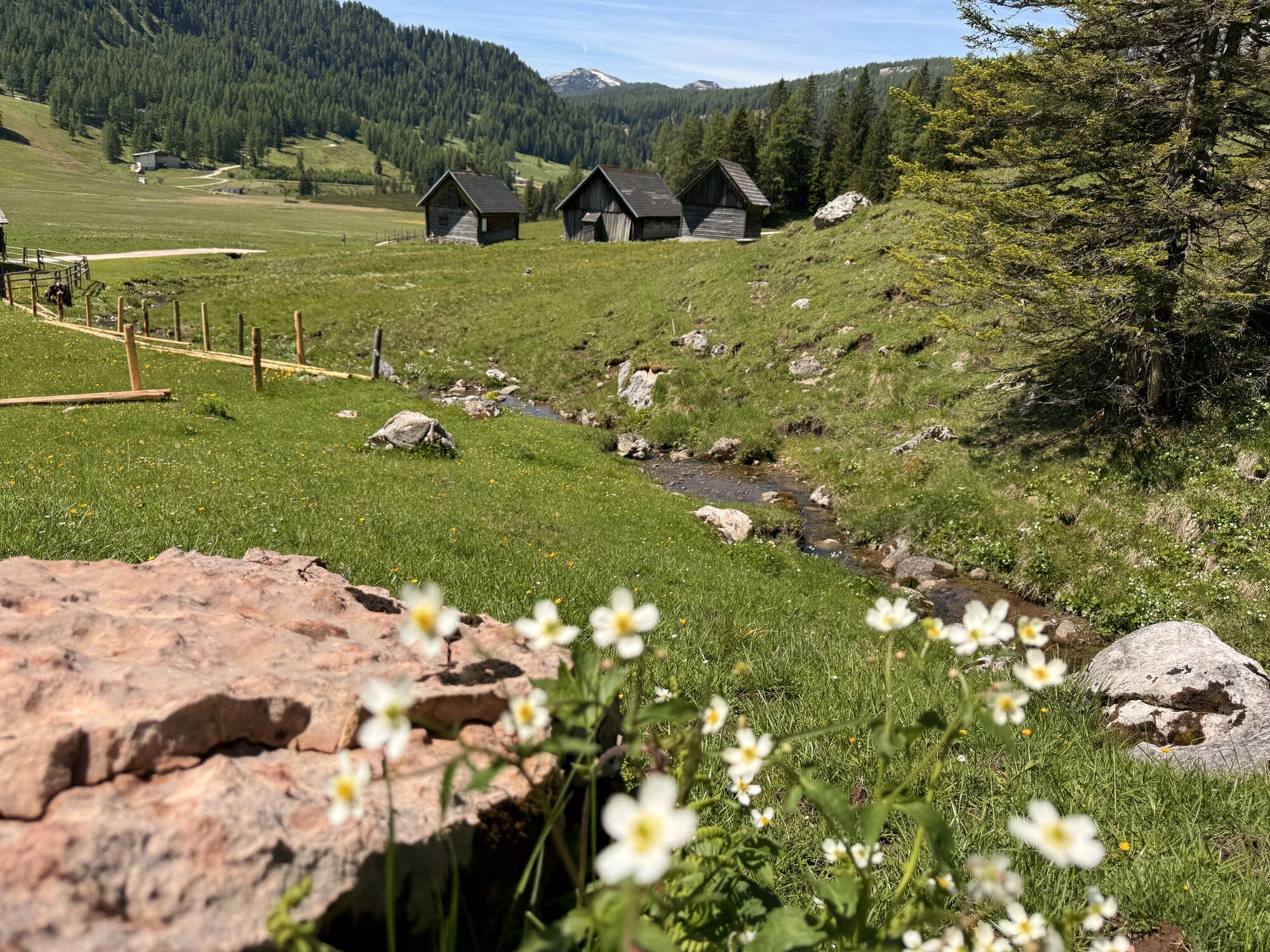
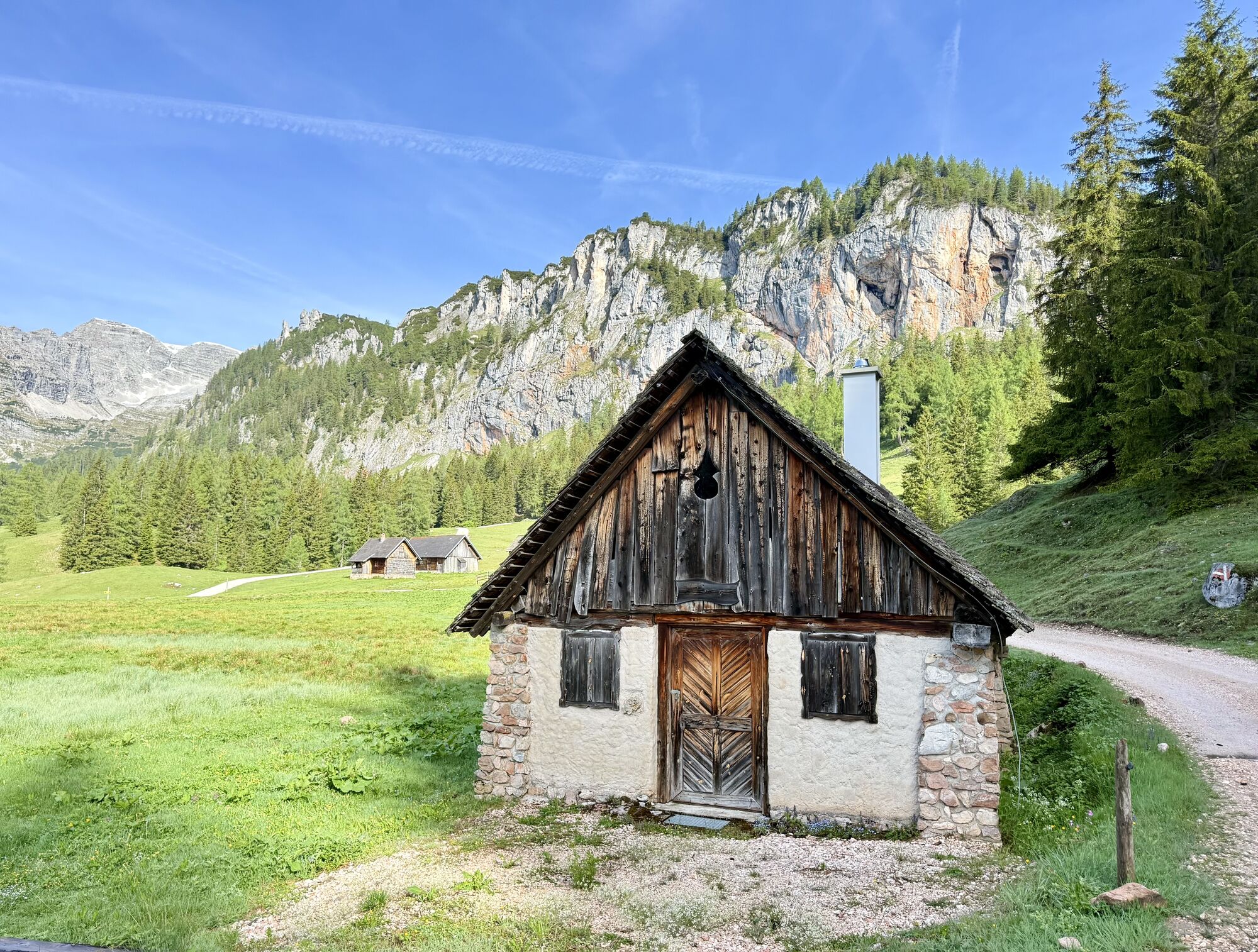
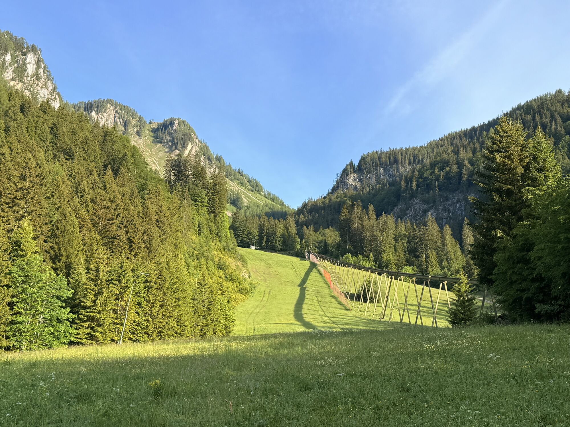
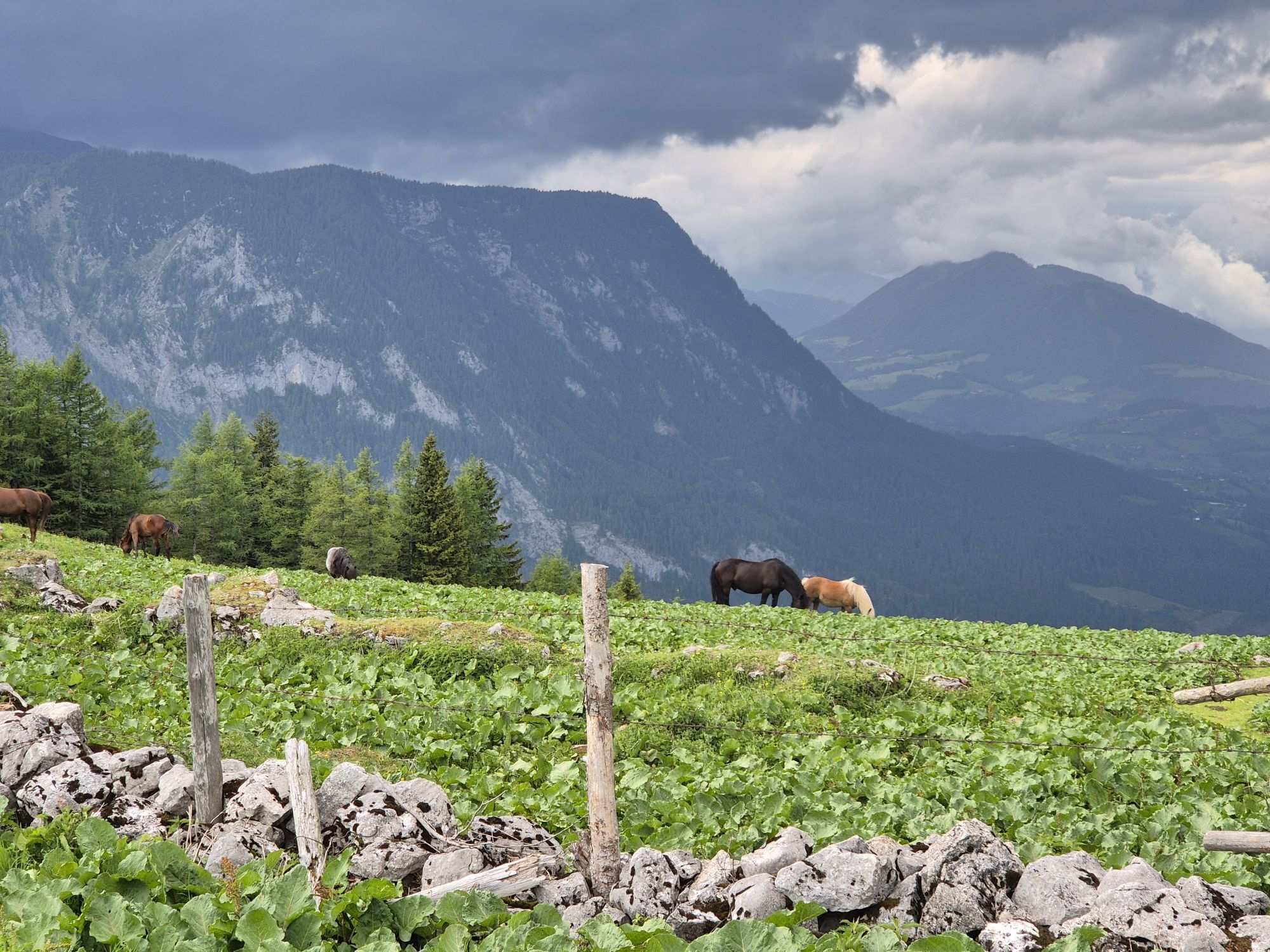
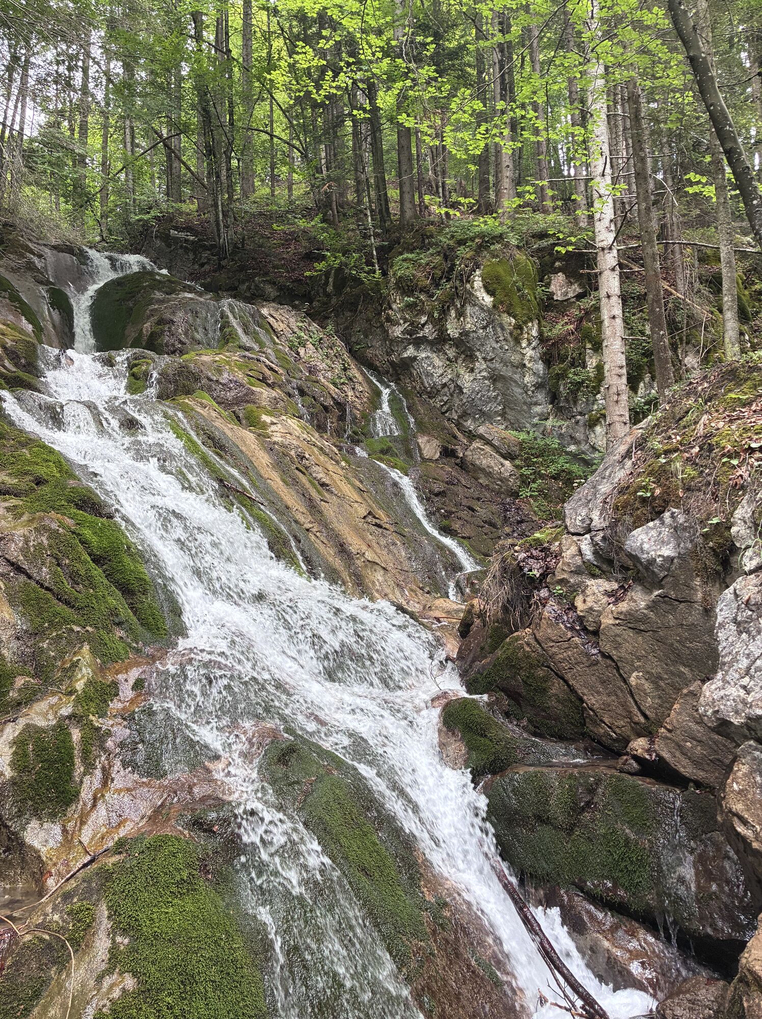
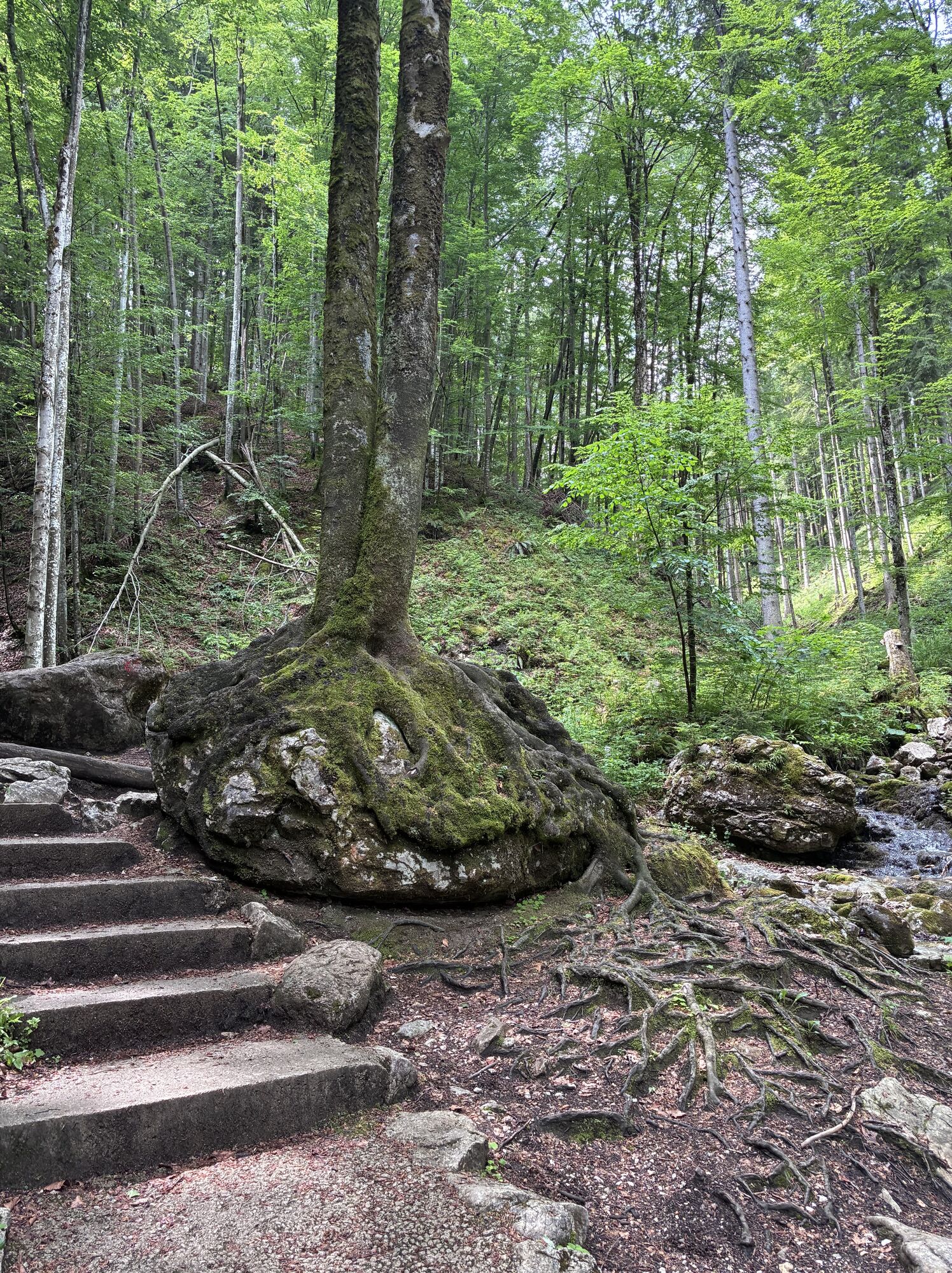
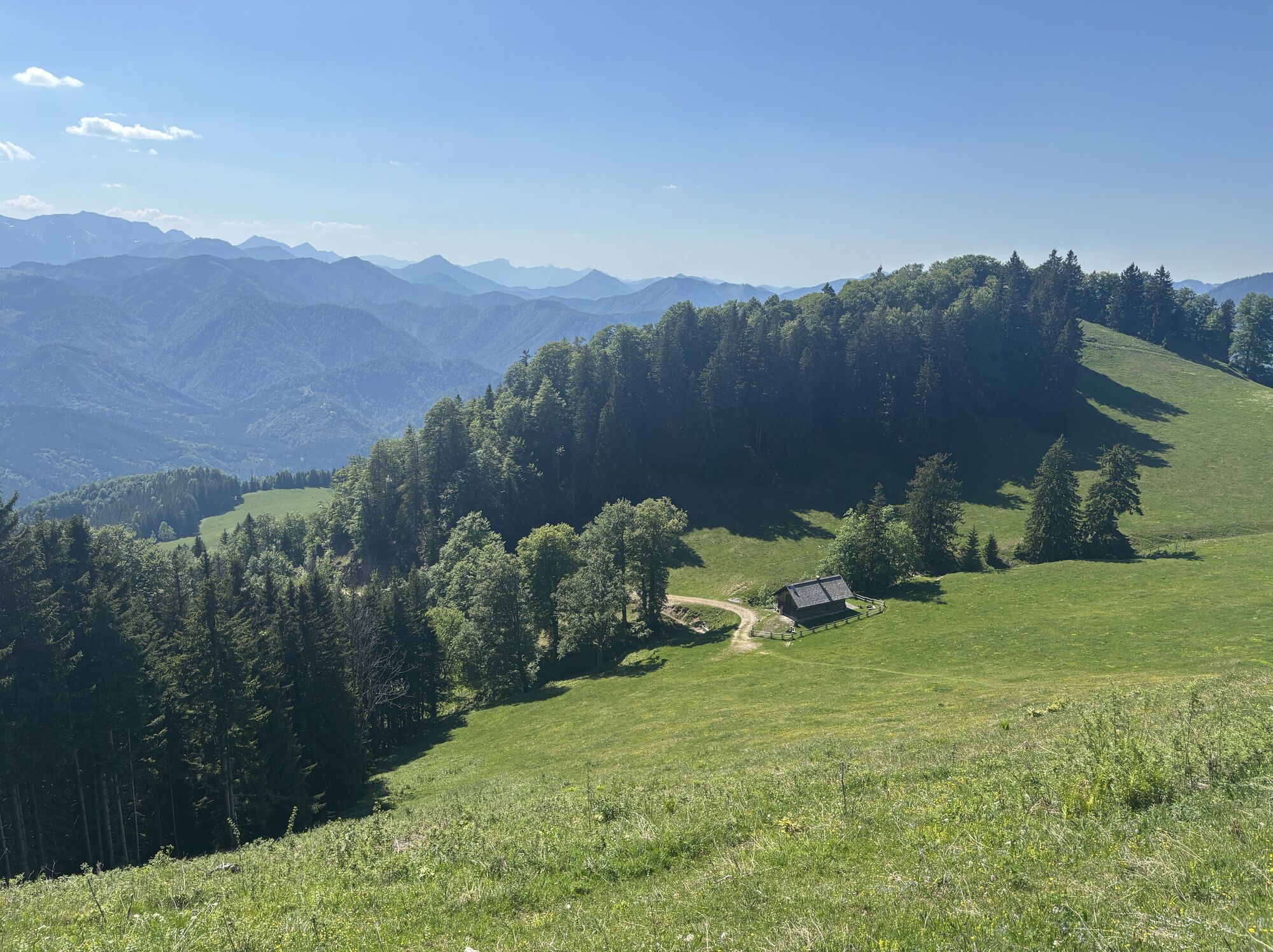
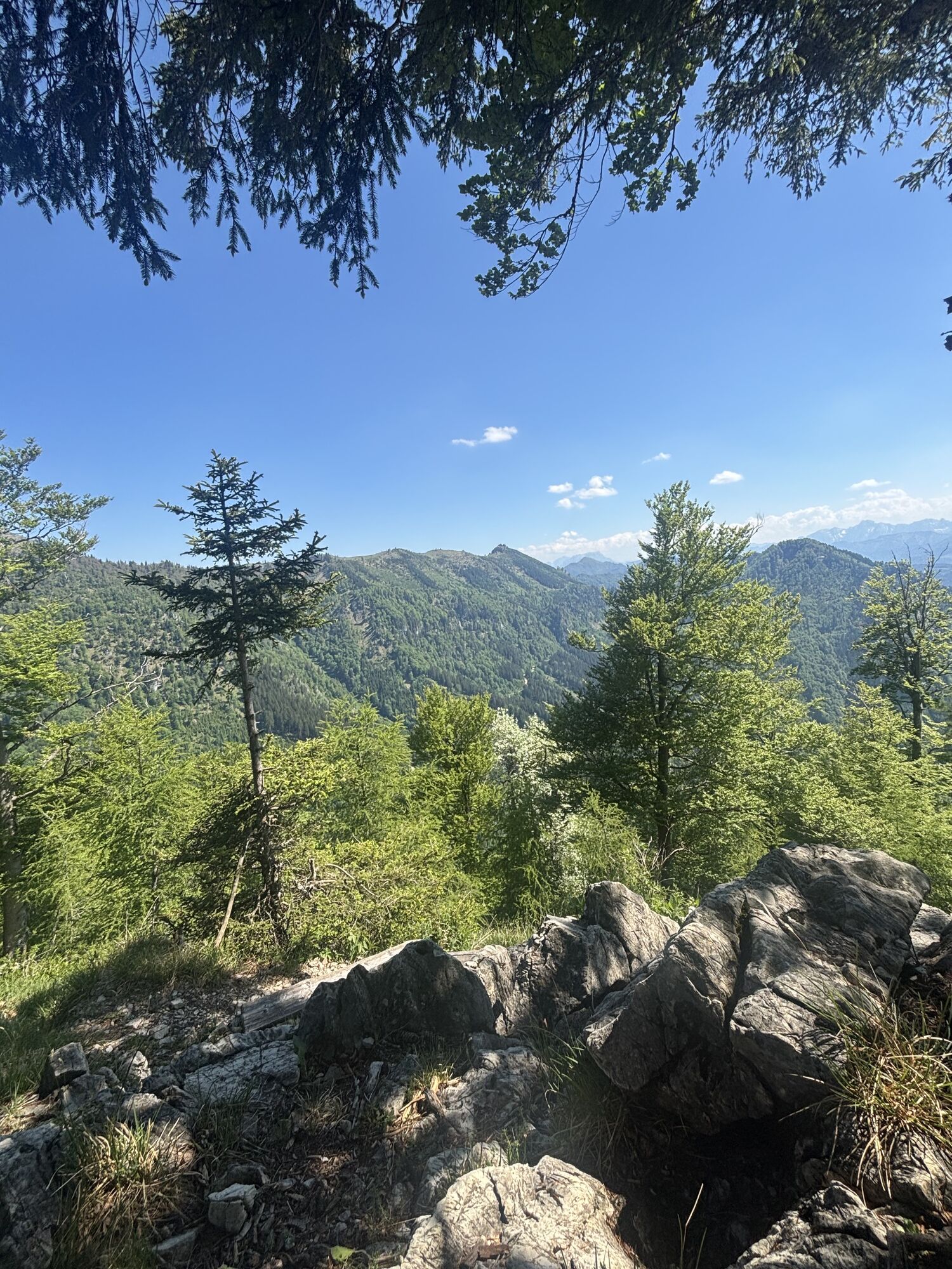
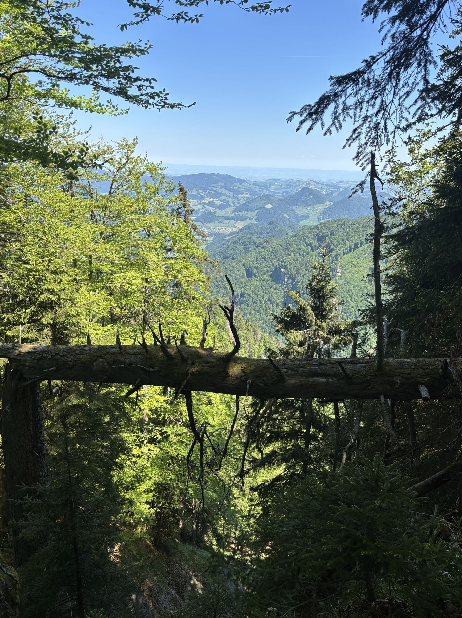
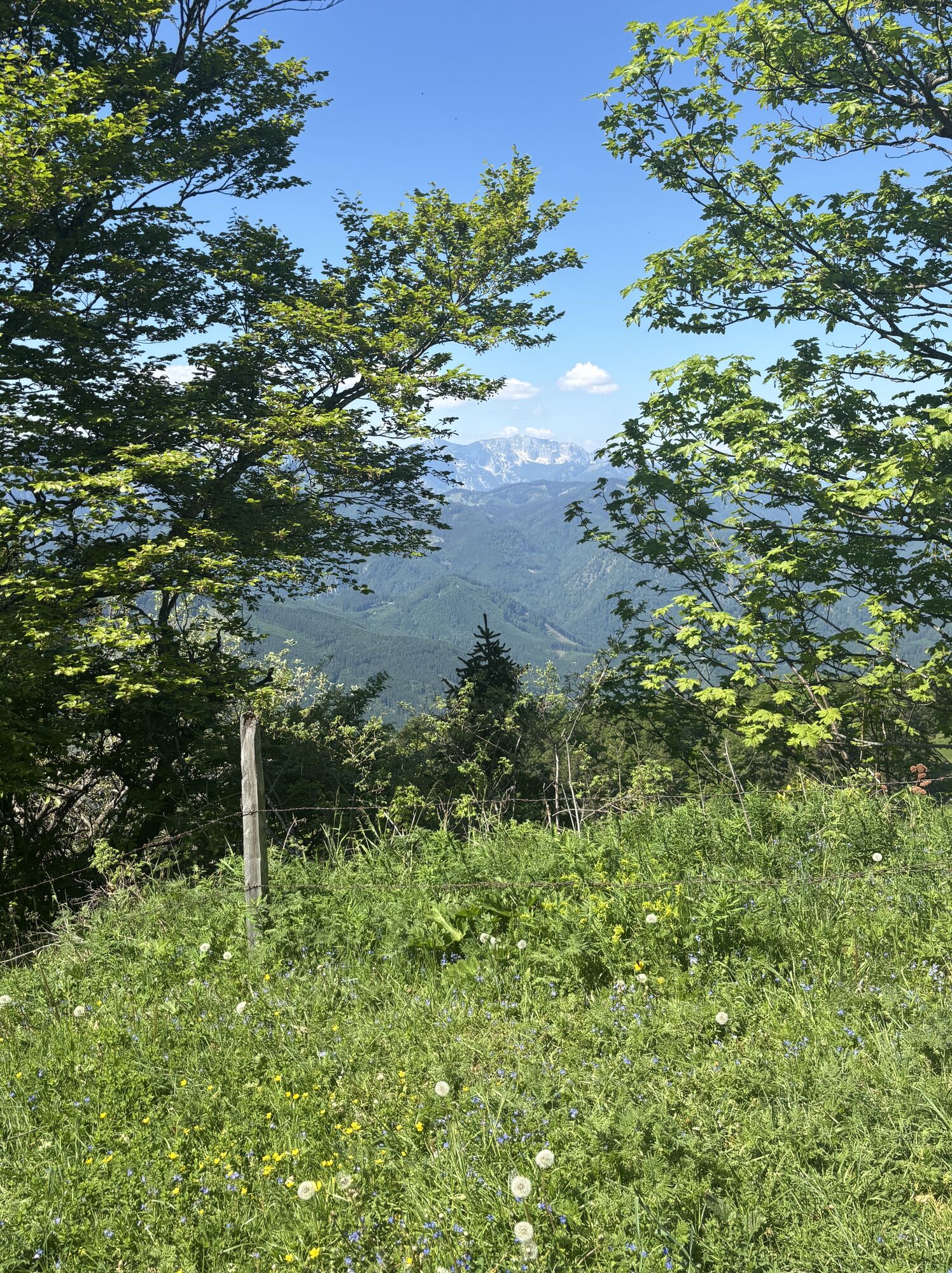
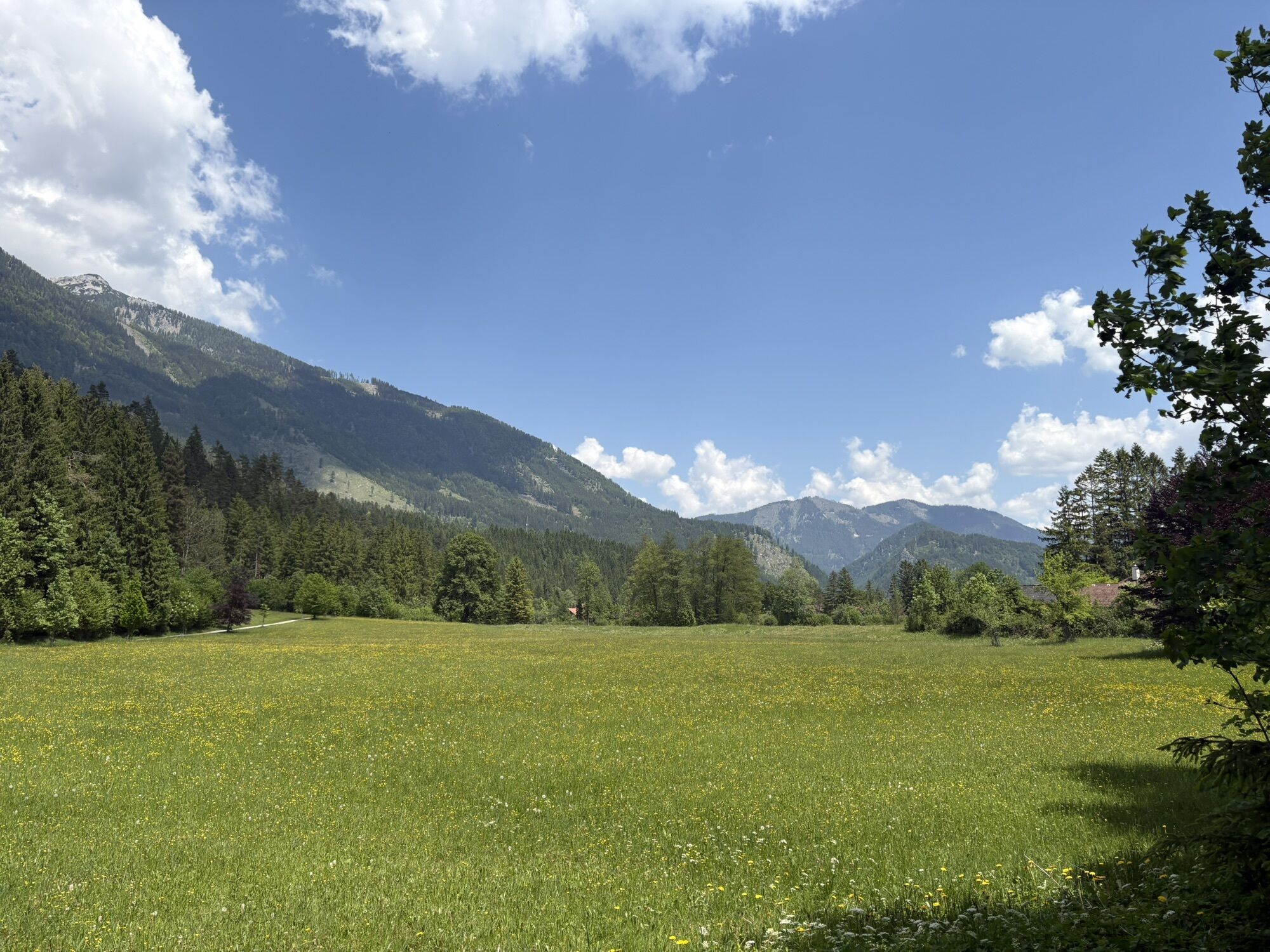
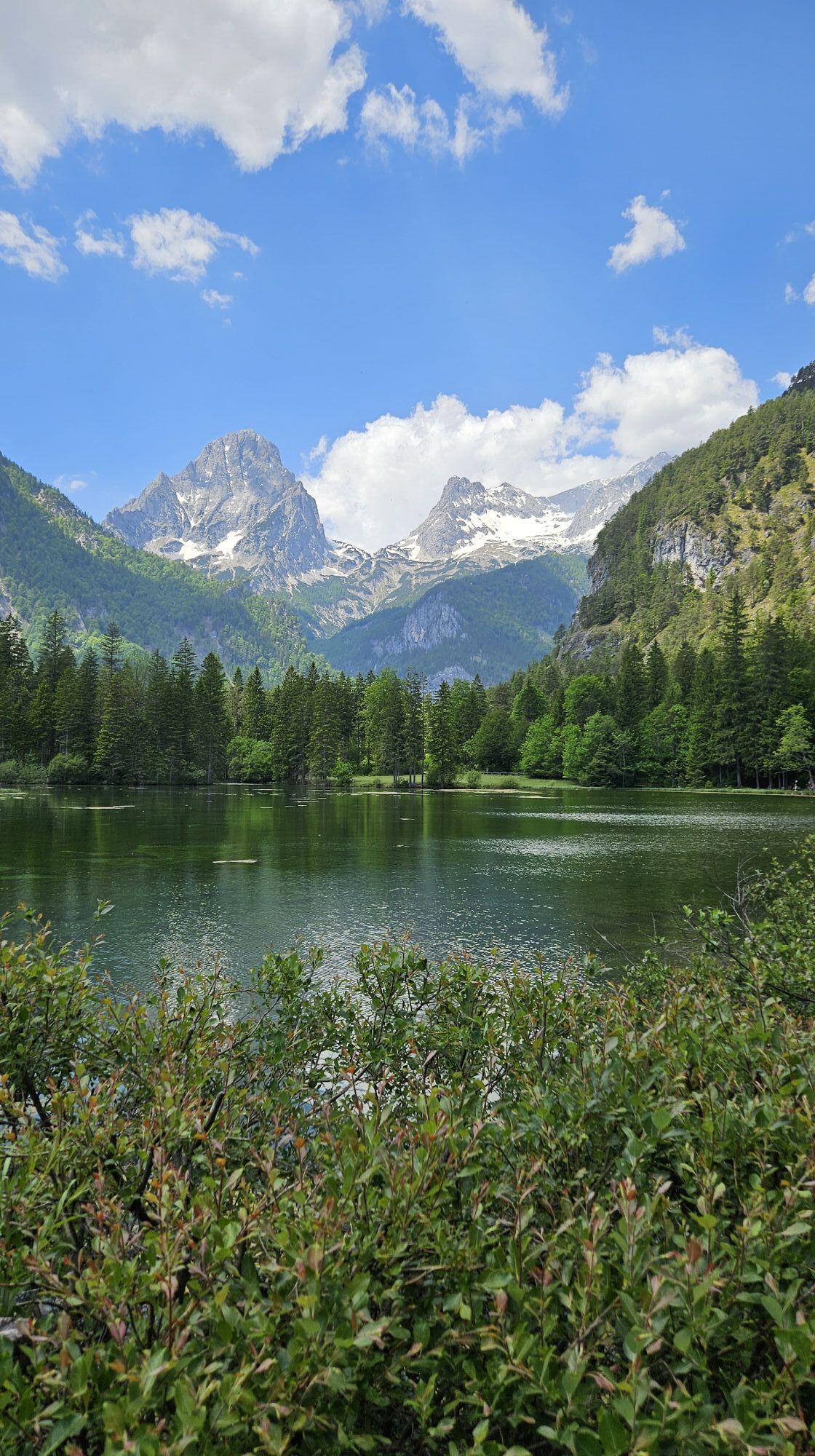
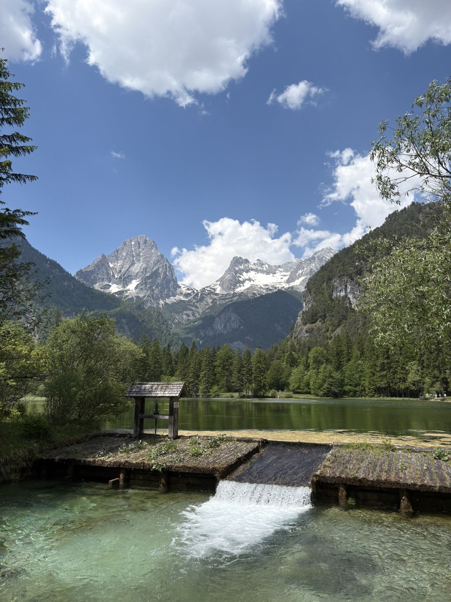
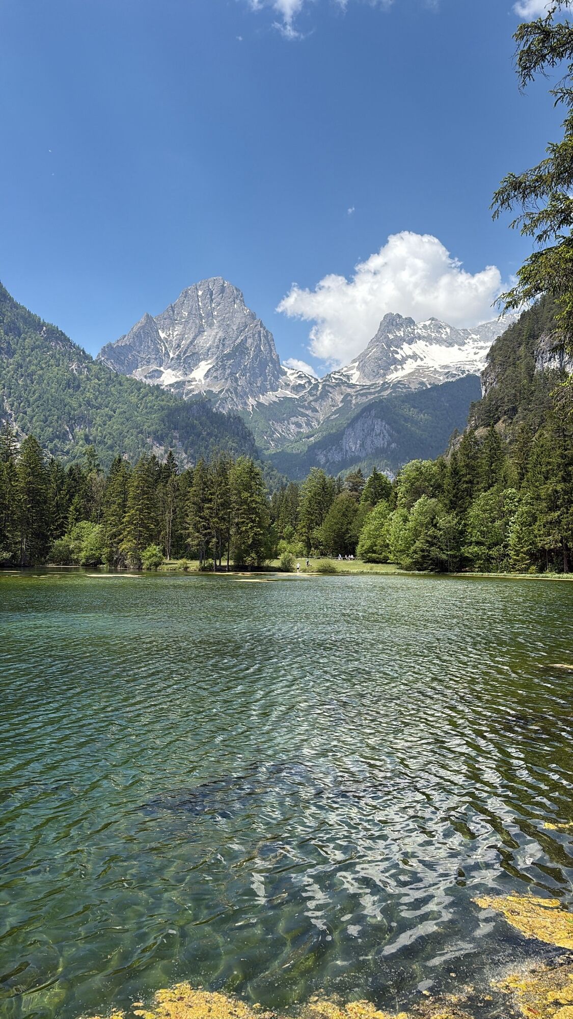
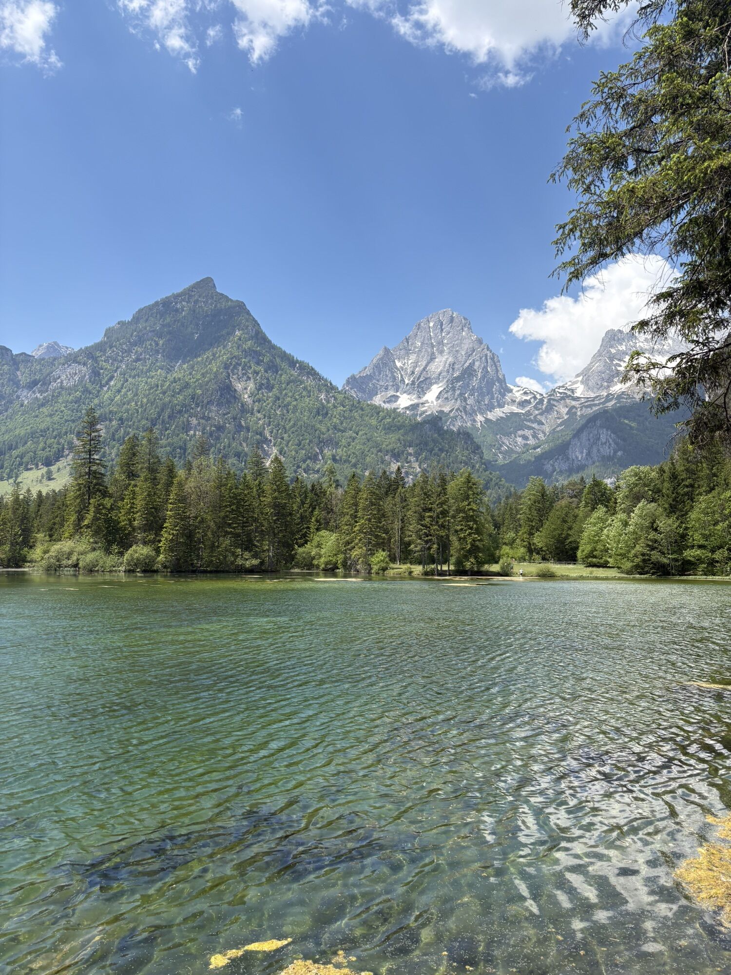
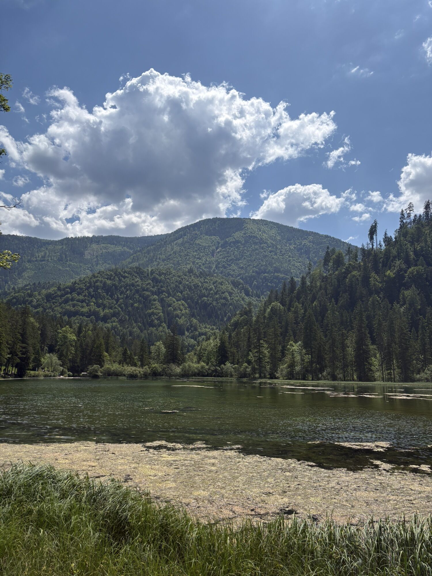
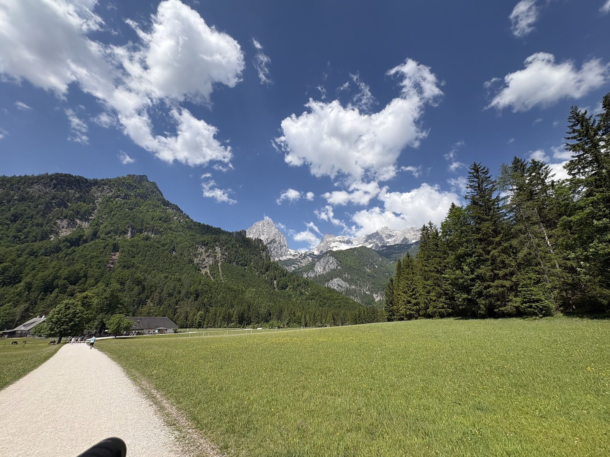
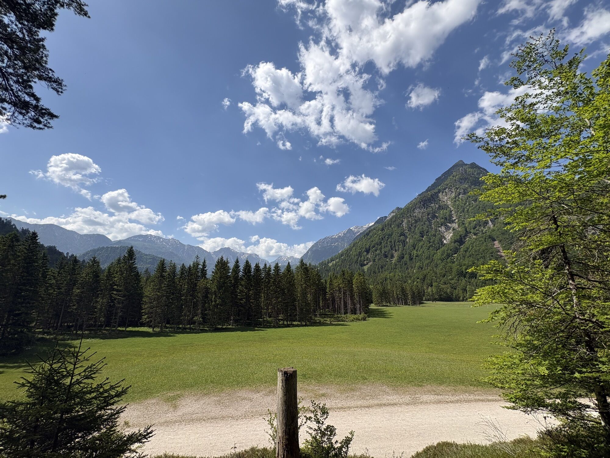
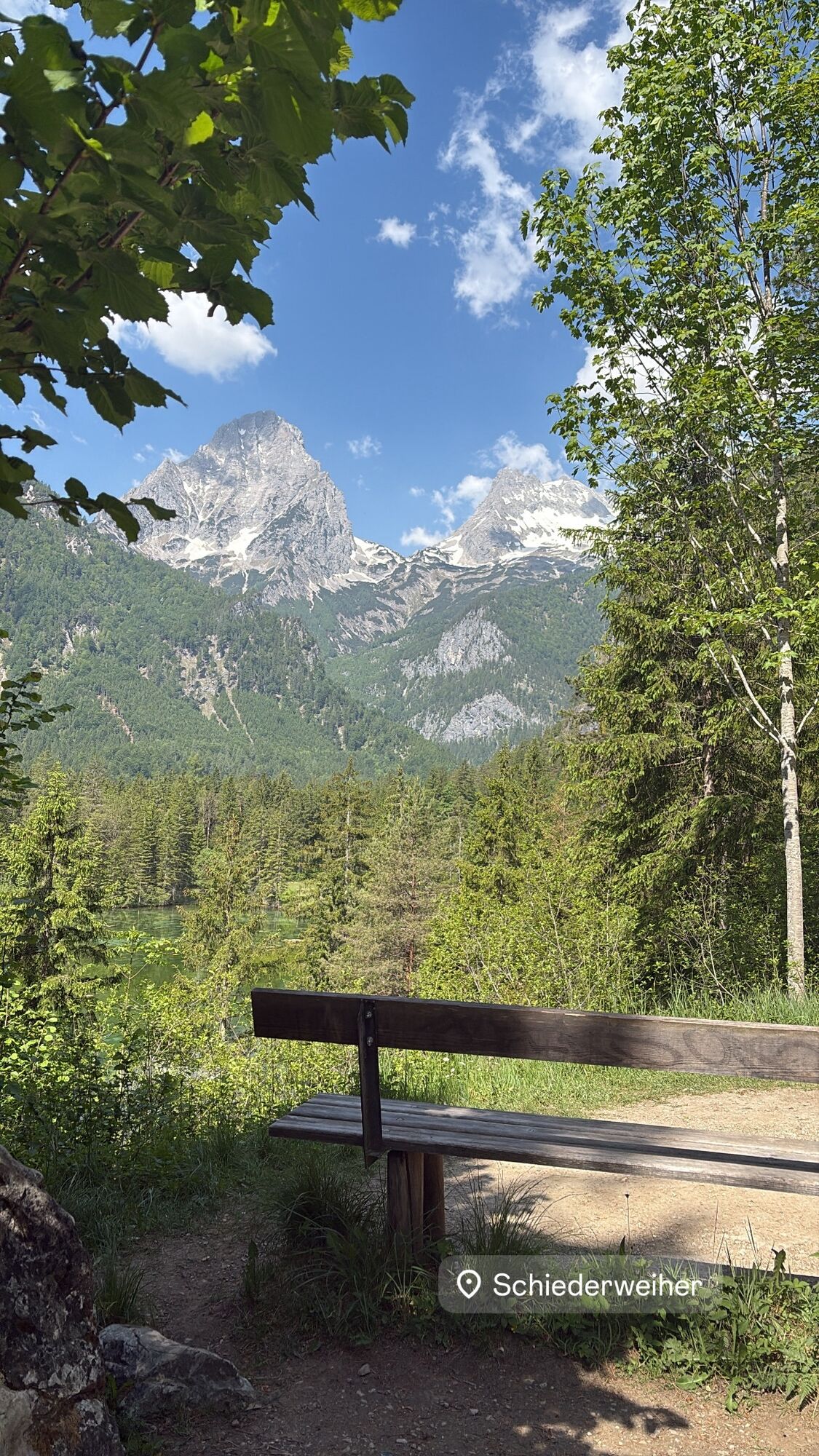
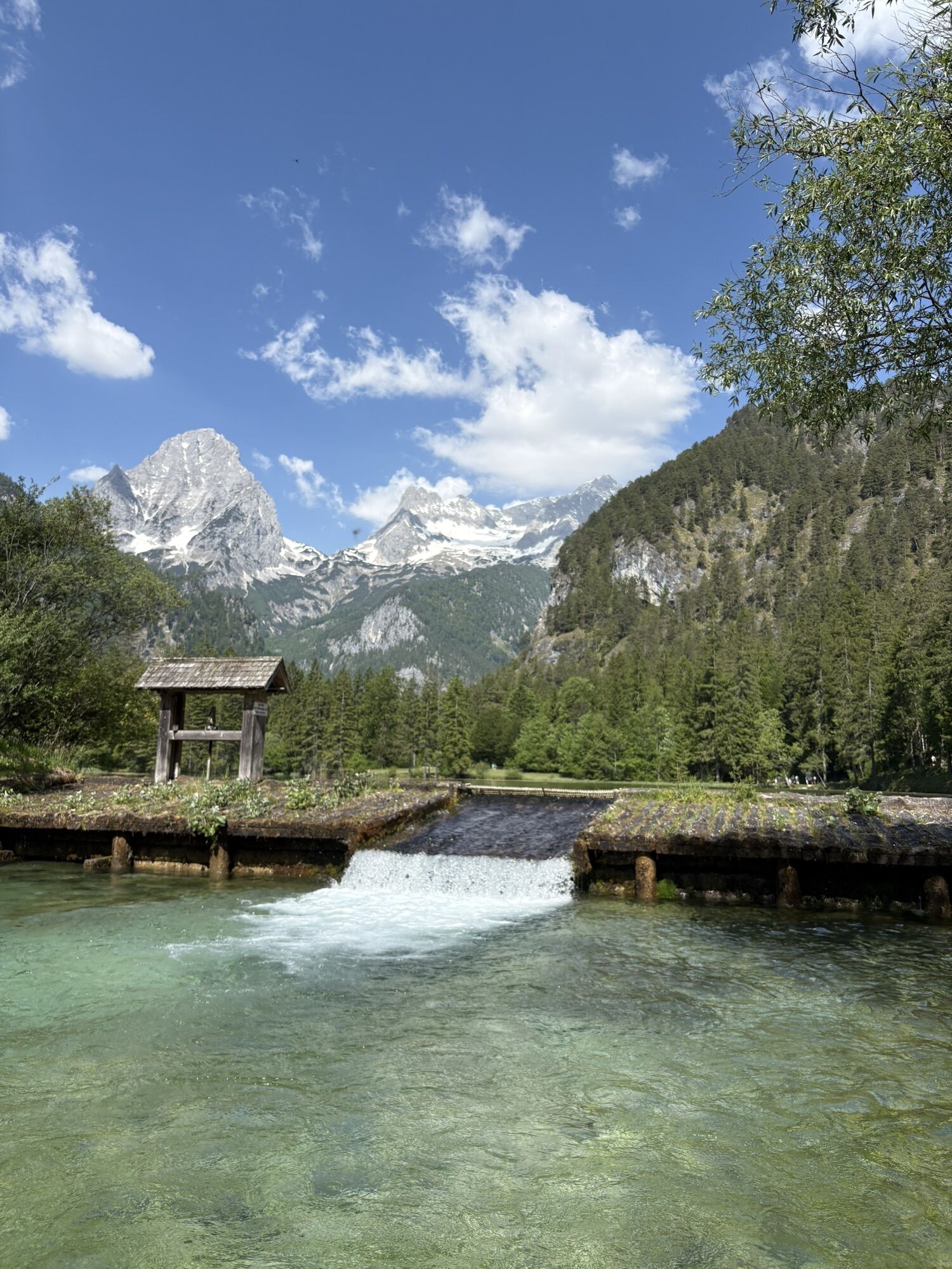
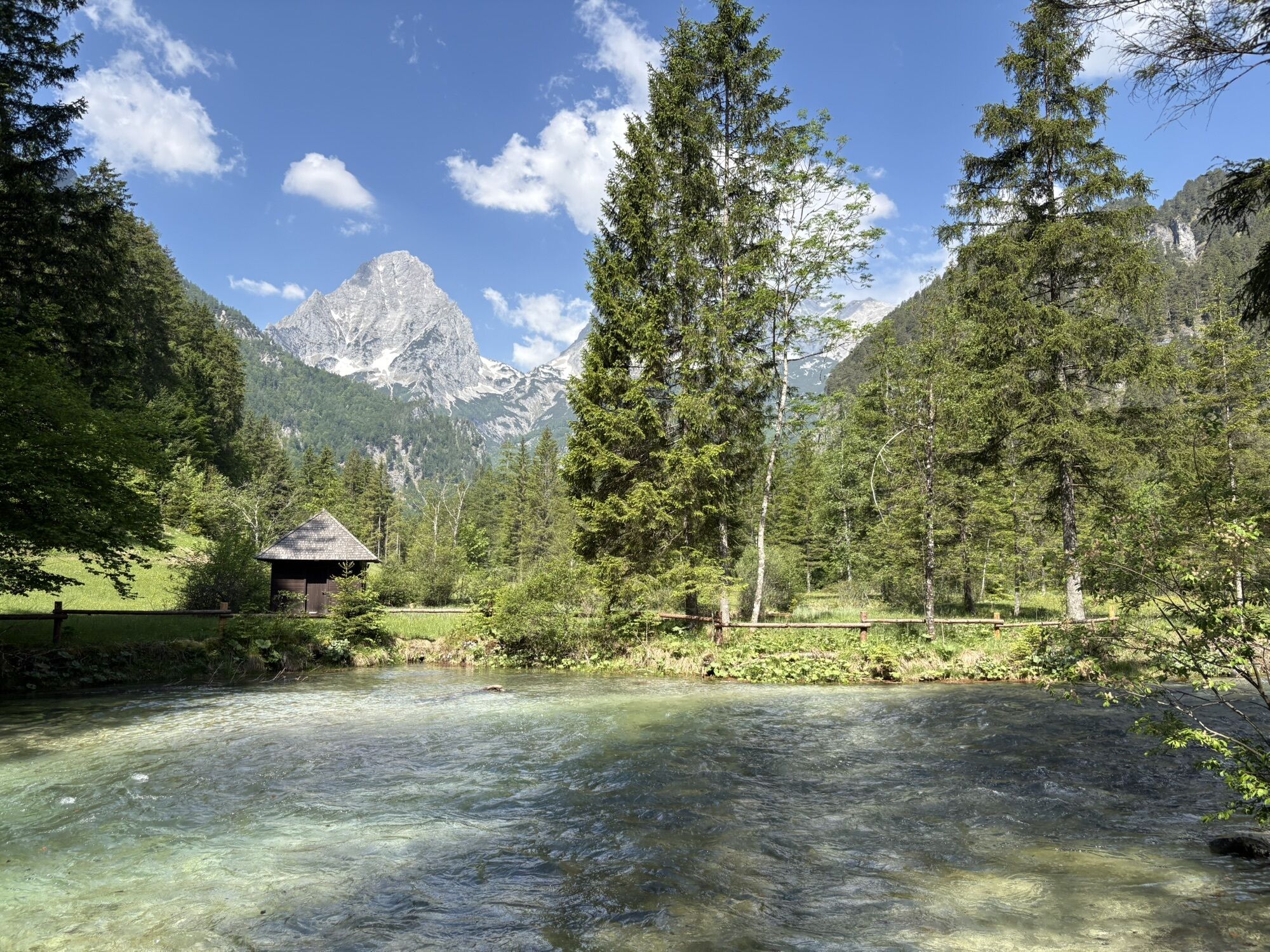
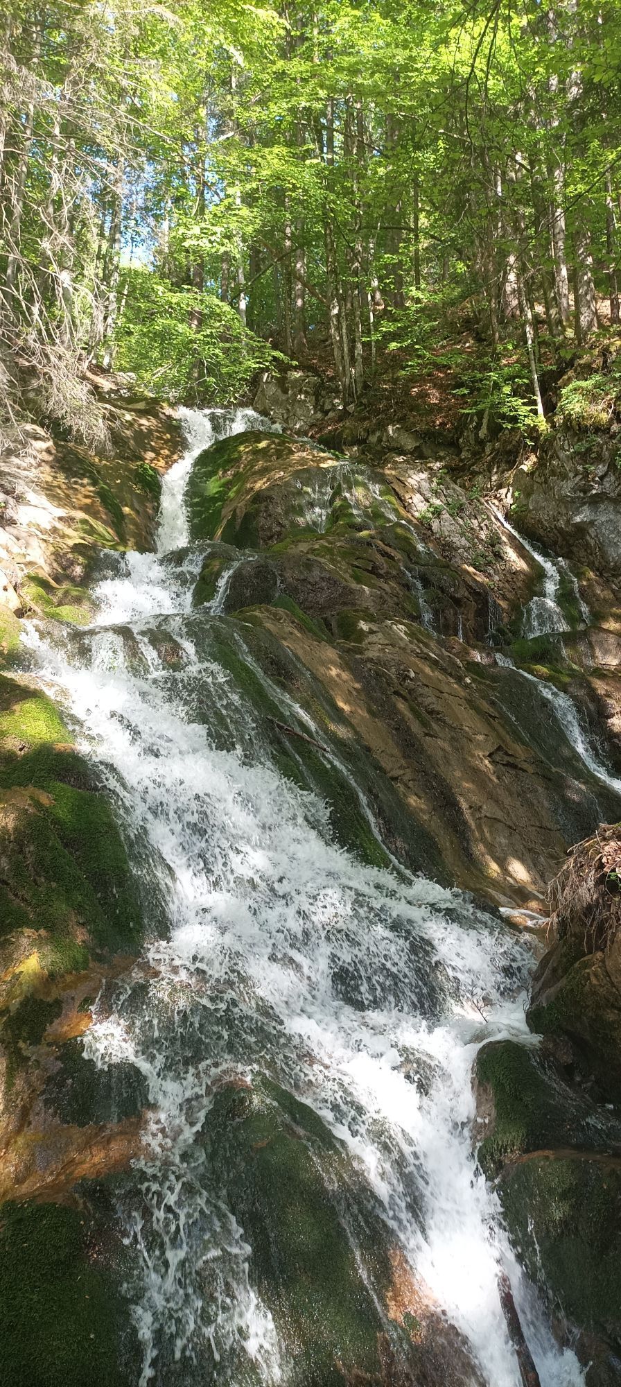
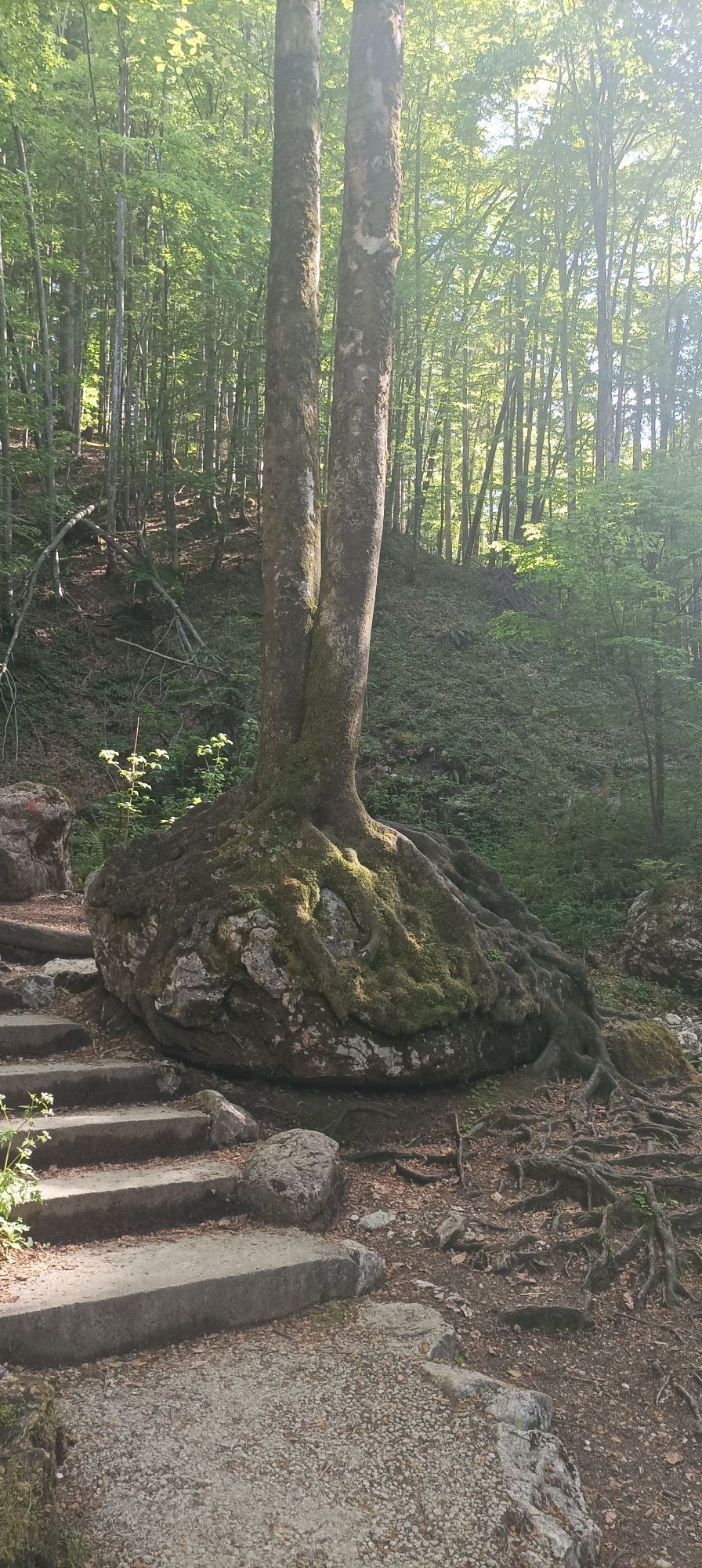
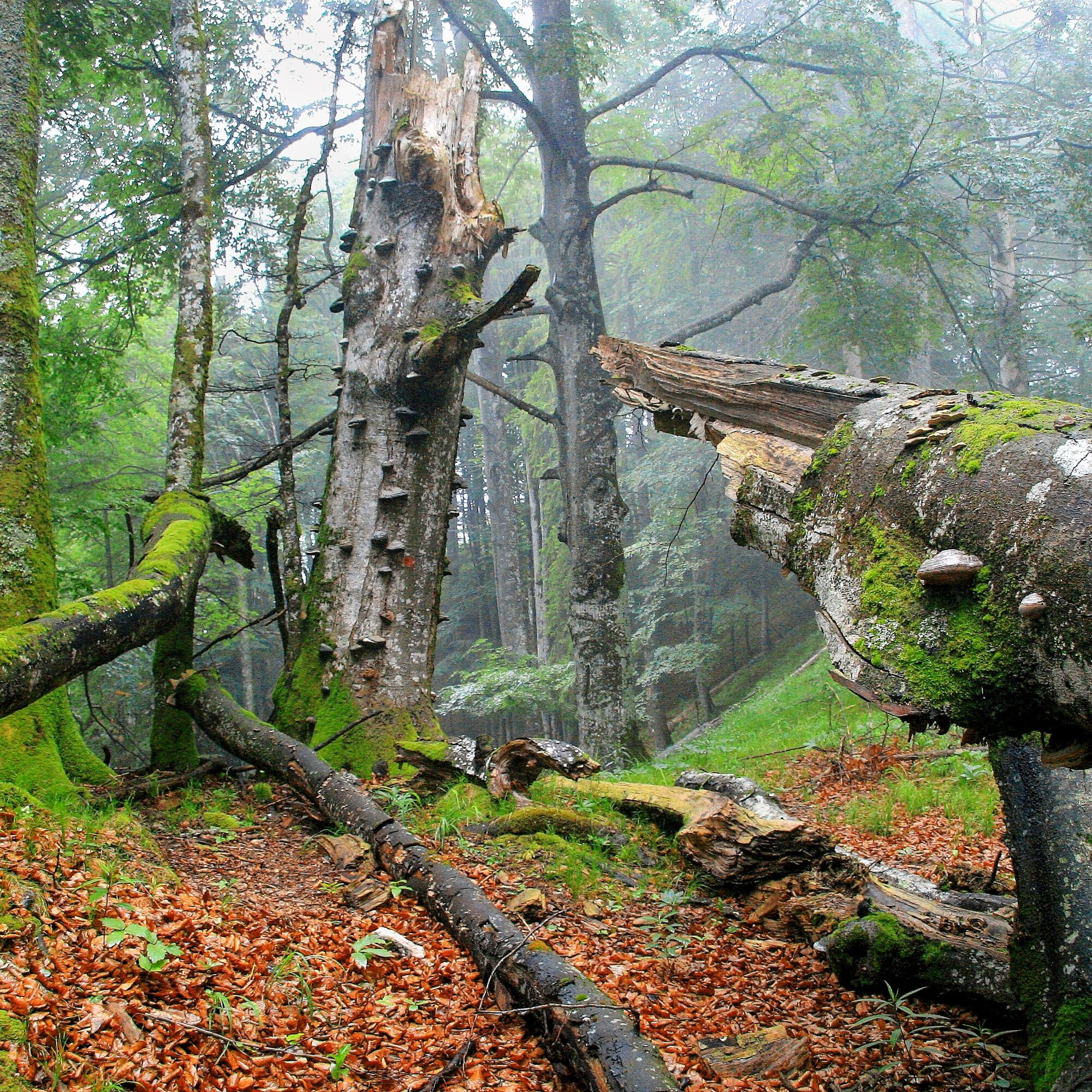
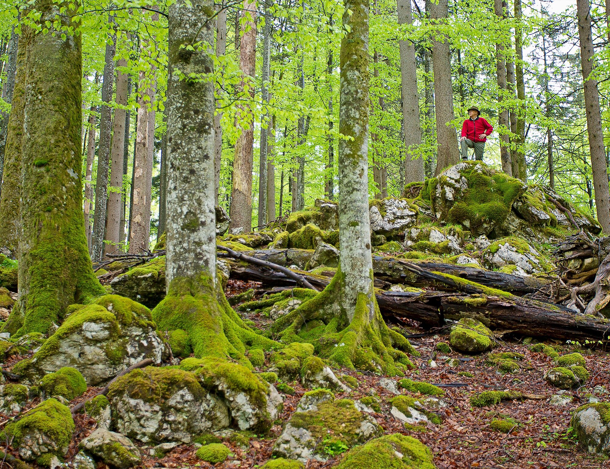
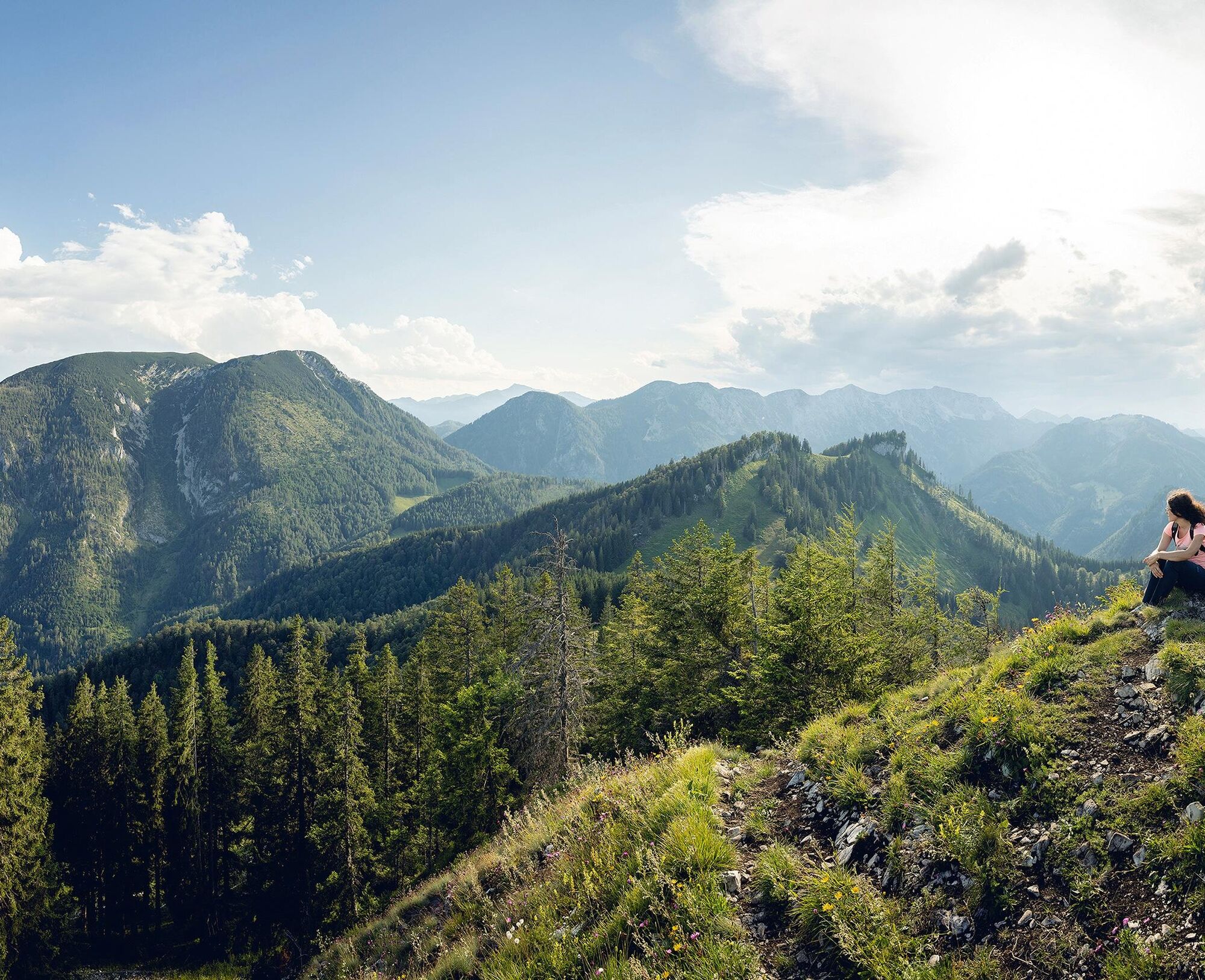
Travel back to a bygone era and experience the birth of the limestone mountains. Water, forest, limestone, and fauna are just some of the concepts that will accompany you step by step on your route.
Along...
Travel back to a bygone era and experience the birth of the limestone mountains. Water, forest, limestone, and fauna are just some of the concepts that will accompany you step by step on your route.
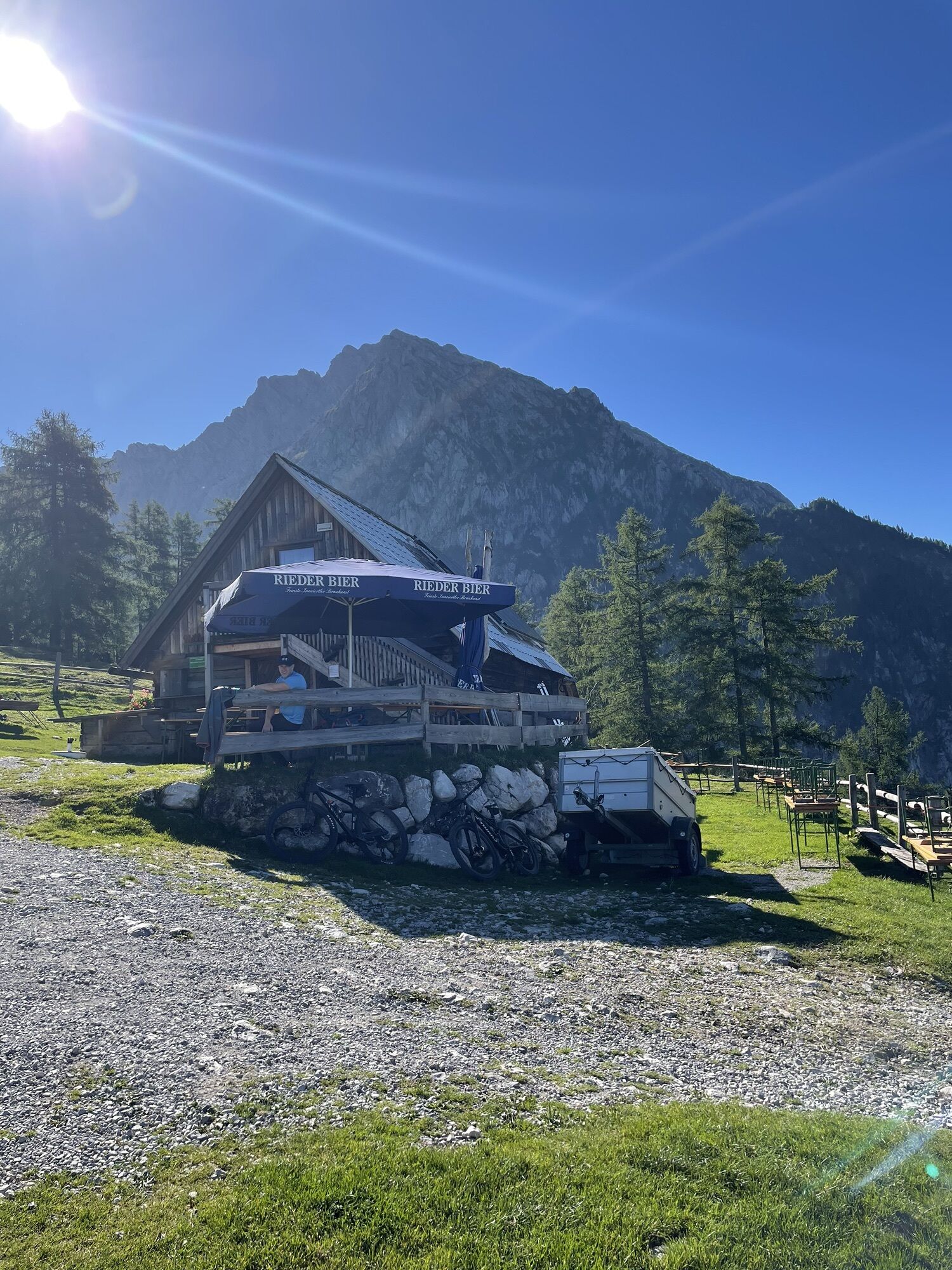
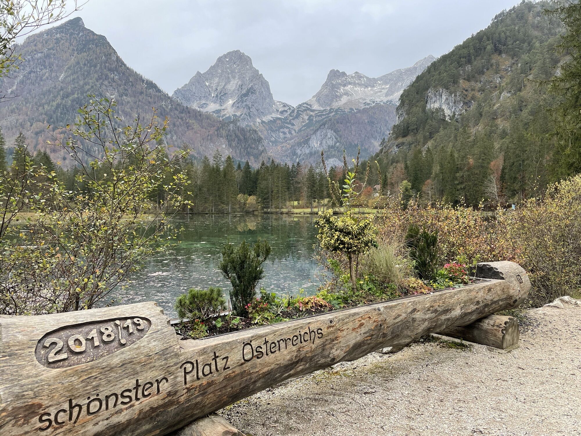
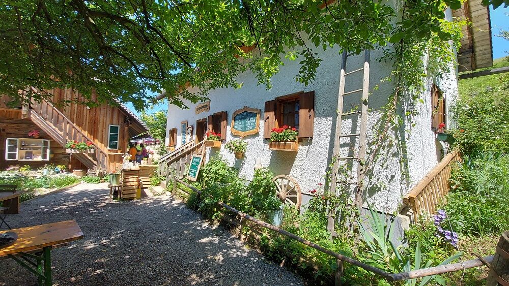
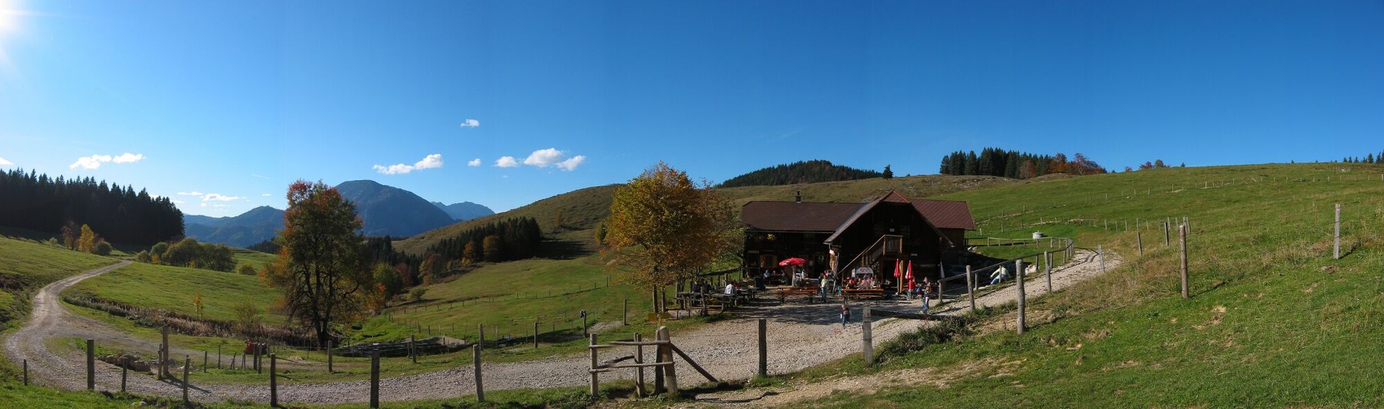
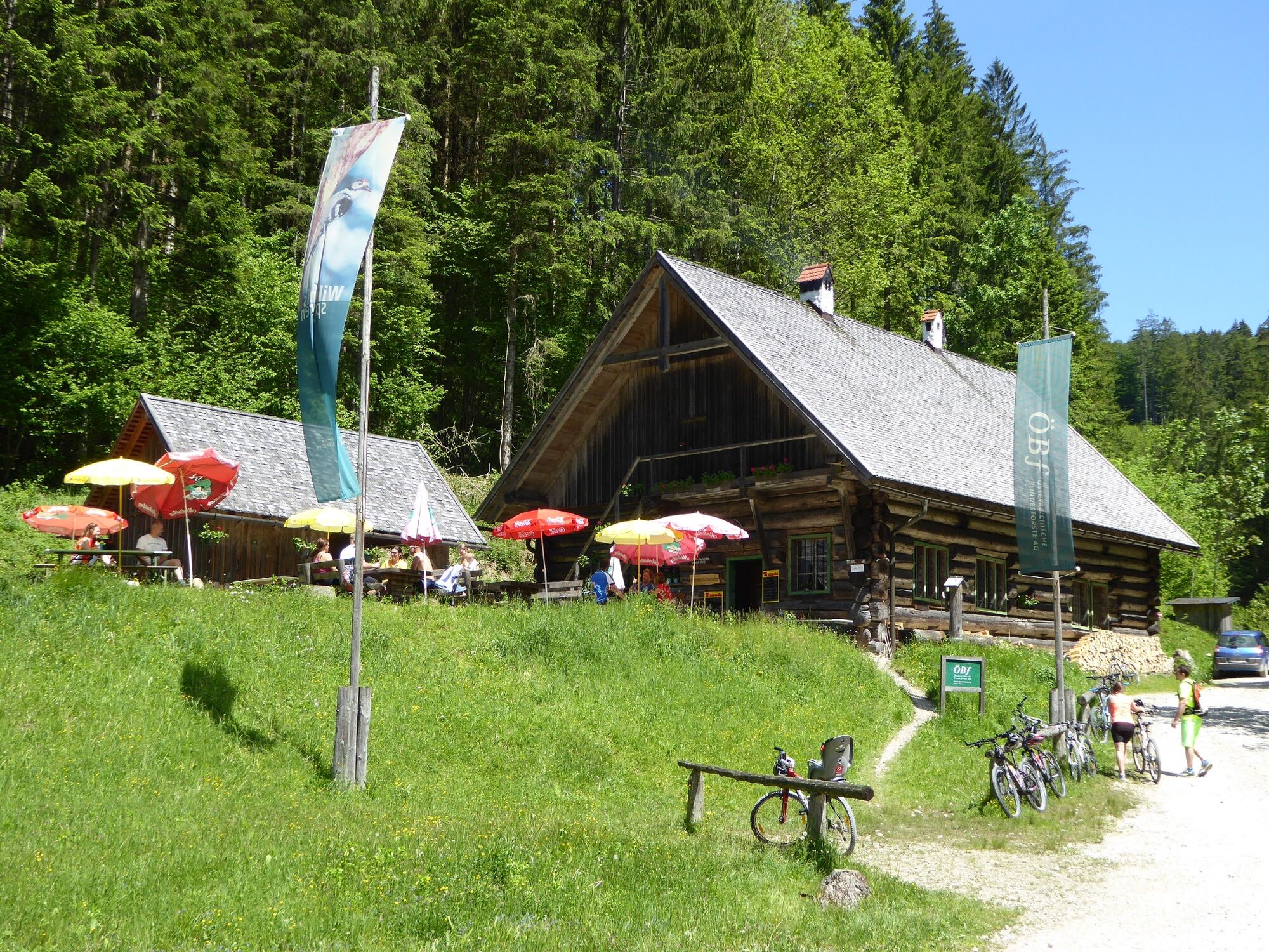
Along the beautiful route, you repeatedly have the opportunity to take a short break at attractive rest areas. Each stage has its own theme - the Kalkalpen Trail takes you into the wonderful world of nature, people, and animals. Discover the richness of the national park through the 11 stages and their related themes.


From the west: A1 motorway exit Enns-Steyr > B115 into the Enns Valley
From the east: A1 motorway exit Amstetten West > Waidhofen / Ybbs > Weyer
From the north: A3 Regensburg > Passau > Wels > A1 motorway exit Enns-Steyr > B115 into the Enns Valley
From the south: A9 Pyhrnautobahn > Klaus > Grünburg > Ennstal
Stations are located in Ternberg, Trattenbach, Losenstein, Reichraming, Großraming, Küpfern, Kastenreith, Kleinreifling and Weißenbach-St. Gallen.
The Kronprinzrudolfbahn runs between Amstetten (Vienna) and Weißenbach-St. Gallen Stations are located in Gaflenz, Weyer, Kastenreith, KleinreiflingTranslated with www.DeepL.com/Translator (free version)
National Park Visitor Center Enns Valley, Großraming station
Return trip with the Kalkalpen Trail hiking taxi
With the Kalkalpen Trail hiking taxi, you have the option to return from the endpoint of your hike to the starting point in the Enns Valley at a discounted rate.
Departure from St. Pankraz: € 22.50 per person
Departure from Hinterstoder: € 21.00 per person
Departure from Vorderstoder: € 19.50 per person
Departure from Windischgarsten: € 16.50 per person
Departure from Spital am Pyhrn: € 18.00 per person
To take advantage of the discounted rate, stamps from at least 3 overnight accommodations (huts) are required! You can download the hiking taxi guest card here or obtain it at the National Park Visitor Center in Reichraming and at the tourism offices. Taxi companies:
Taxi Aschauer/Großraming: 07254/8219
Taxi Riedler/Hinterstoder: 07564/5159
Taxi Eckerstorfer/Windischgarsten: 07562/5330
Please call the taxi company in time and specify the desired transfer date and location!
Webové kamery z prehliadky
-
Bergstation Hössbahn
-
Gammering - Hahnlgraben
-
Bergstation Hössexpress
-
Langlaufzentrum Hall Mühlau
-
Bergstation Standseilbahn
-
Bergstation Hirschkogelbahn
-
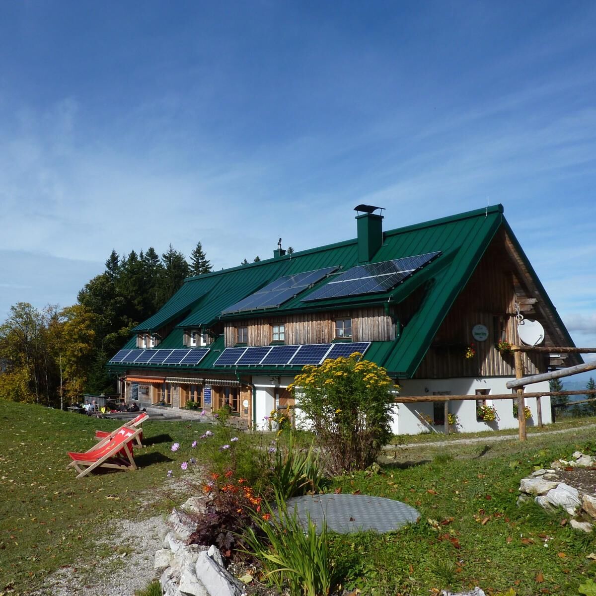
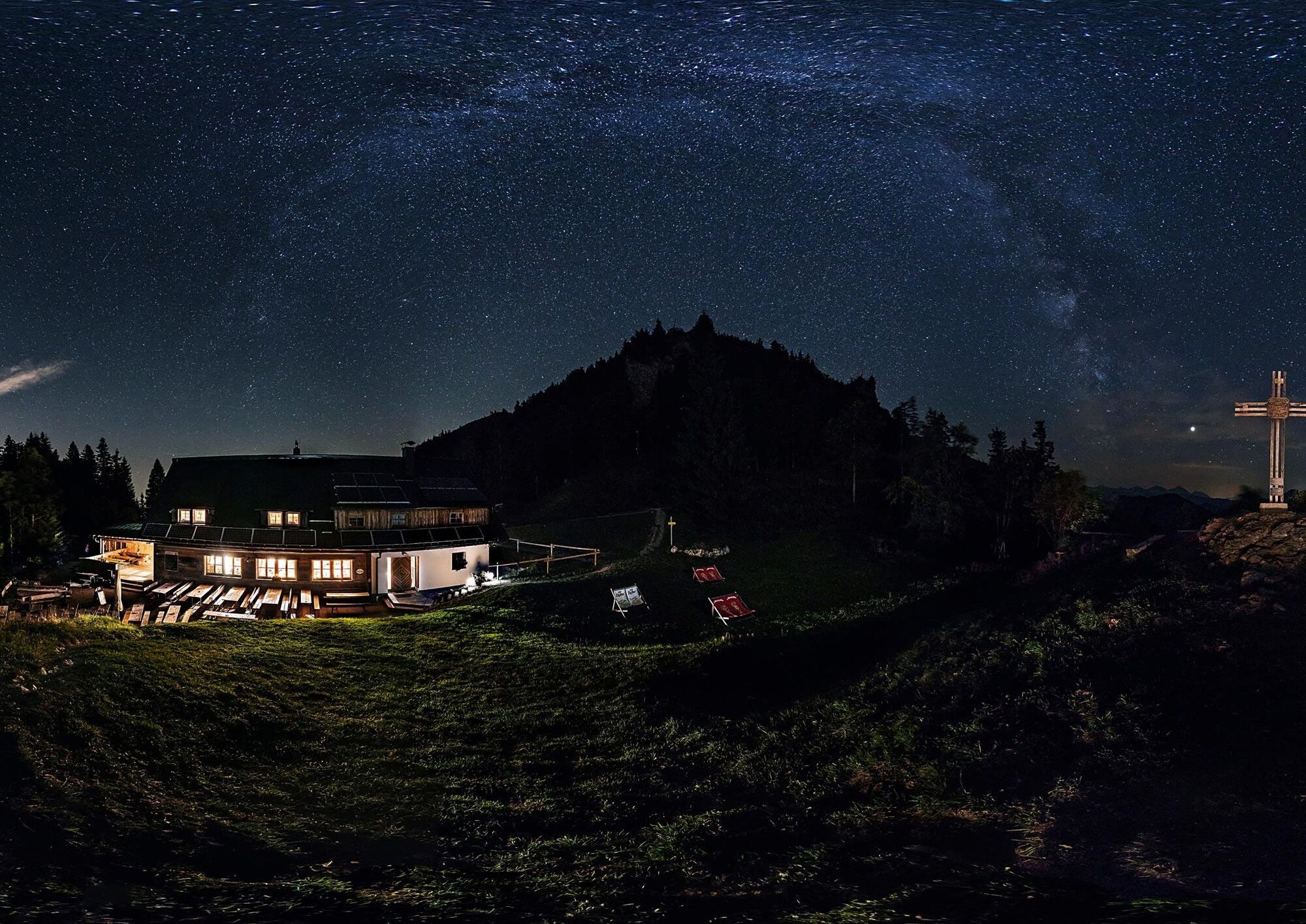
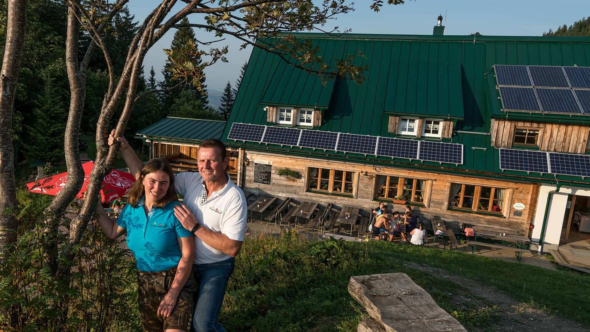
Ennser Hütte
-
Bergstation Hössexpress
-
Bergstation Hössexpress
-
Bergstation Hössexpress
-
Gammering - Hahnlgraben
-
Gammering - Hahnlgraben
-
Gammering - Hahnlgraben
-
Gammering - Hahnlgraben
-
Gammering - Hahnlgraben
-
Bergstation Hössbahn
-
Bergstation Hössbahn
-
Bergstation Hössbahn
-
Bergstation Hössbahn
-
Bergstation Wurzeralm 2
-
Bergstation Wurzeralm 2
-
Bergstation Wurzeralm 2
-
Bergstation Wurzeralm 2
-
Bergstation Wurzeralm 2
-
Gammering - Hahnlgraben
-
Bergstation Hirschkogelbahn
-
Bergstation Hirschkogelbahn
-
Bergstation Hirschkogelbahn
-
Bergstation Hirschkogelbahn
-
Panoramalift Tal - Startplatz West
-
Panoramalift Tal - Startplatz West
-
Panoramalift Tal - Startplatz West
-
Zellerhütte - Vorderstoder
-
Steyrling
-
Bergstation Wurzeralm 2
-
Bergstation Wurzeralm 2
-
Liezen - Langlaufzentrum Pyhrn
-
Großraming - Almkogel
-
Ennser Hütte
-
Spital am Pyhrn / Genussstubn
Obľúbené výlety v okolí
-
4,4
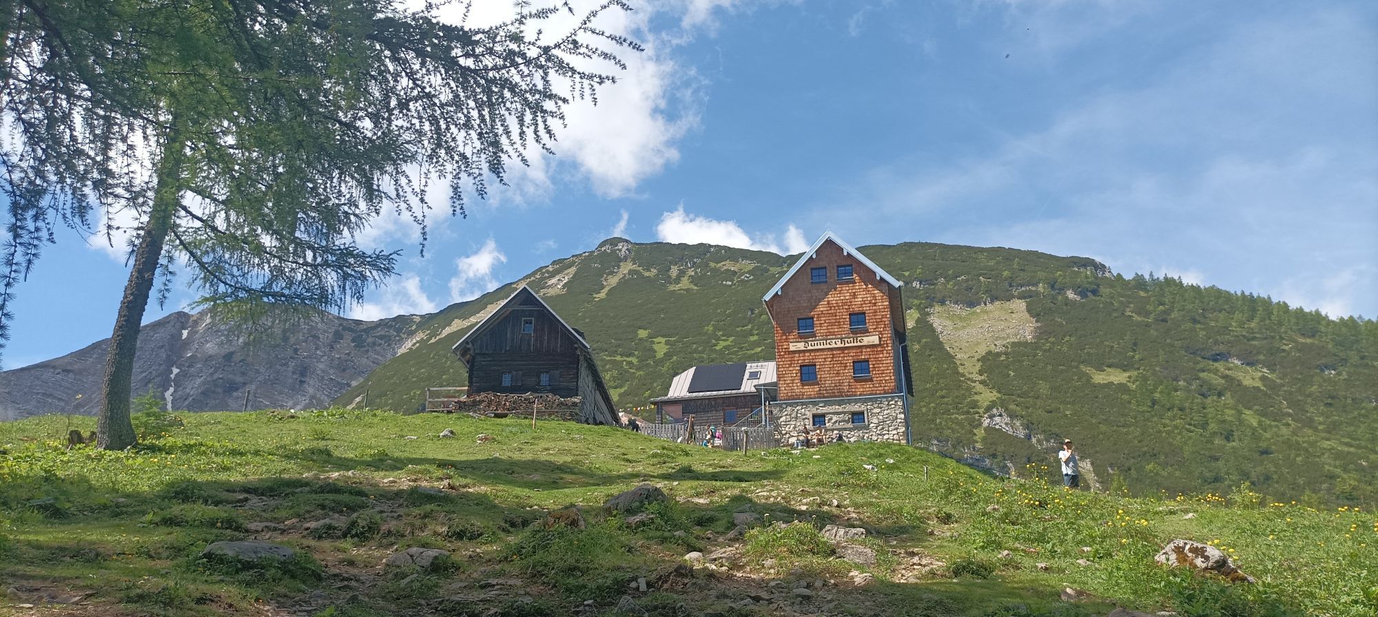
Spital am Pyhrn: Wurzeralm - Dümlerhütte - Rote Wand
strednáTuristika 10,1 km -
4,3
Wurzeralm NaturErlebnisWelt - 2 Millionen Jahren in 2 Stunden
Turistika 6,09 km -
4,2
Rund um den Gleinkersee
Turistika 1,70 km -
3,9
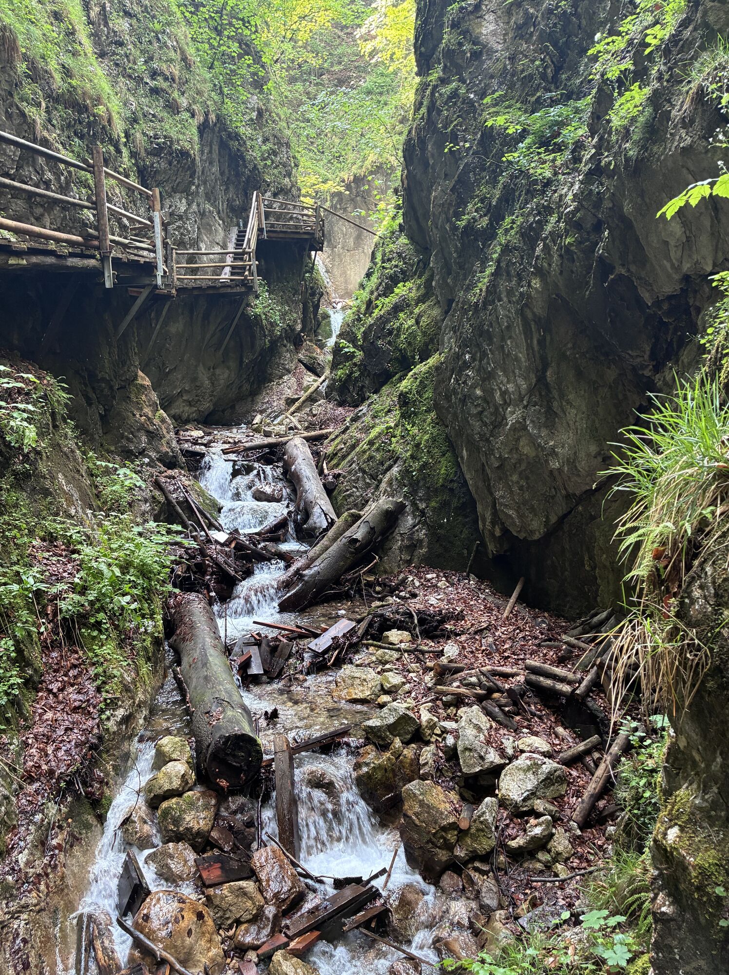
Dr. Vogelgesang-Klamm
svetloTuristika 2,67 km -
4,5
Von der Bosruckhütte auf den Großen Pyhrgas
ťažkéTuristika 9,57 km -
4,0
Vorderstoder - Zellerhütte
strednáTuristika 11,1 km -
4,6
Pießling Ursprung
Turistika 1,13 km -
4,8
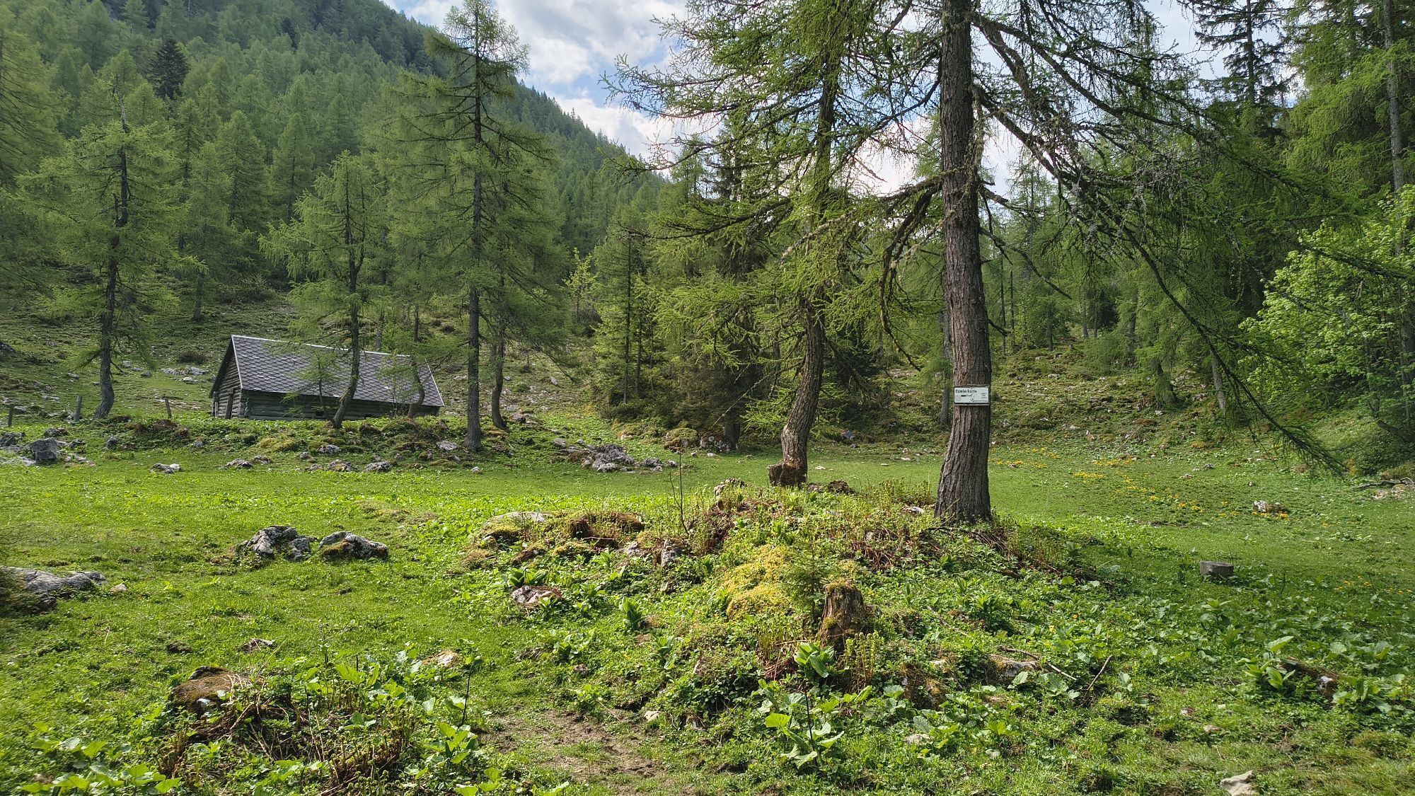
Gleinkersee Seespitz Stubwieswipfel und Dümlerhütte
strednáTuristika 16 km -
3,9
Wurzeralm - Warscheneck
ťažkéTuristika 12,8 km -
4,8
Warscheneck vom Schafferteich via Zellerhütte
strednáTuristika 15,9 km

Turistika a stopovanie


Nenechajte si ujsť ponuky a inšpiráciu na ďalšiu dovolenku
Vaša e-mailová adresa bol pridaný do poštového zoznamu.